Mount Rainier live webcam – St. Helens (WATCH, North)
Intermittent Still image · every 10 min Volcano · Official source · What camera types mean
What you are looking at
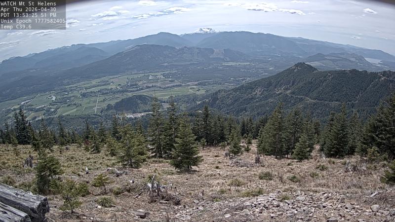
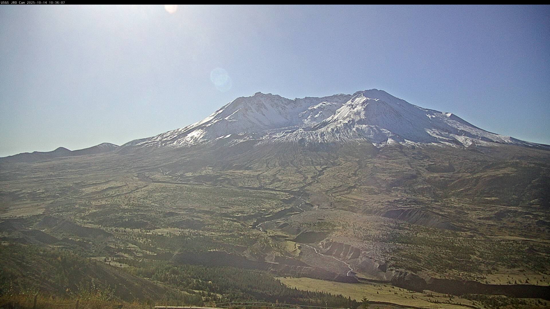
This camera at the WATCH ridgetop station, at about 1,460 m (4,800 feet), points south-southwest toward Mount St. Helens, about 45 km (28 miles) away. The volcano's flat-topped, broken summit sits low on the far horizon above a deep valley and several forested ridges, with young conifers and a rocky clearing in the foreground. Morning fog often lies in the valley below like a white river.
Mount St. Helens lost its upper 400 m (1,300 feet) in the May 18, 1980 eruption, which is why it looks truncated from here rather than cone-shaped. Lava domes grew inside the crater after 1980 and again from 2004 to 2008. It is still the most active volcano in the Cascades, and the USGS Cascades Volcano Observatory posts its current alert level and updates.
The picture on this page is a still frame, renewed about every ten minutes. Early-morning light with valley fog often makes the most striking frames, while late summer can bring wildfire haze that hides the volcano. Snow coats the foreground in winter. Tip: for close-up views of the crater, switch to the Johnston Ridge cameras, which look into the crater from the north.
Camera details
- Camera ID
- msh-WATCH
- Operator
- Cascades Volcano Observatory (USGS)
- Name at the provider
- CVO St. Helens (WATCH, North)
- Elevation
- 1,463 m / 4,800 ft
- Camera faces
- South (200°)
- Image updates
- Every 10 min
- Video format
- Still image (JPEG)
- Position
- Exact (from the provider)
- Licence
- U.S. public domain
- Data source
- USGS volcano webcams
- Last checked
- 01:30 UTC (2 h ago)
- Working, last 7 days
- 0 % of checks
From the provider's own camera list and our automatic checks. Readings and details can change without notice.
About Mount Rainier, Washington
Weather now in Mount Rainier: 48 °F (9 °C), clear sky, wind 4 mph (6 km/h) from the northeast. Forecast for 9 PM local time. Weather: MET Norway (CC BY 4.0)
Mount Rainier is a place in Washington, United States. The camera is about 22 mi from the center, 4,800 ft (1,463 m) above sea level. Mount Rainier keeps America/Los Angeles time (UTC−7 at the moment); the panel above shows the local time live.
Mount Rainier is the highest peak in the Cascade Range, a glacier-covered volcano that stands about 14,400 feet above sea level, roughly 60 miles southeast of Seattle and Tacoma. It carries 26 major glaciers and more ice than any other peak in the lower 48 states. Mount Rainier National Park, created in 1899, was the fifth national park in the United States. On the south side, Paradise, at about 5,400…
On the map
Live cameras near Mount Rainier
 WorkingStill imageMount Adams: Adams (WATCH, Northwest)
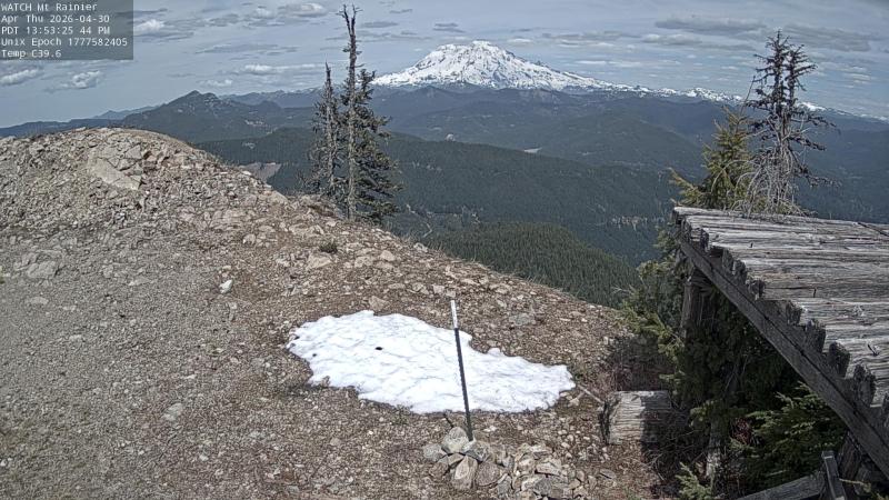 IntermittentStill imageRainier (WATCH, South)
 WorkingStill imageSt. Helens (JRO, SPL Repeater)
 WorkingStill imageSt. Helens (JRO, Guacamole)
 WorkingStill imageMount St. Helens from Johnston Ridge Observatory
 WorkingStill imageMount St. Helens: St. Helens (JRO, Dome)
The nearest other cameras are Mount Adams: Adams (WATCH, Northwest) (0.0 mi), Rainier (WATCH, South) (0.0 mi) and St. Helens (JRO, SPL Repeater) (23 mi).
All Mount Rainier live cameras · Camera radar centered here · More from USGS volcano observatories
Questions about St. Helens (WATCH, North)
Can I watch St. Helens (WATCH, North) live right now?
It has been intermittent: at our last check (Oct 8, 01:30 UTC) the picture had not changed for a while. It is a still image, not video: a new photo arrives about every 10 minutes straight from Cascades Volcano Observatory (USGS).
How often does this camera refresh?
About every 10 minutes, on Cascades Volcano Observatory (USGS)'s schedule. The image on this page refreshes by itself while the tab is open.
Who operates the St. Helens (WATCH, North) camera?
Cascades Volcano Observatory (USGS) runs this camera, as part of the U.S. Geological Survey (USGS) Volcano Hazards Program. It is an official source. Its images are in the U.S. public domain. LiveLocation shows them straight from the source with credit. About USGS volcano observatories Watch at the source
Where is the St. Helens (WATCH, North) camera?
It is about 22 mi from the center of Mount Rainier, Washington, United States. Coordinates: 46.571, -121.987. All cameras in Mount Rainier
Is it day or night there now?
Mount Rainier is in the America/Los Angeles time zone. The "Right now" panel above shows the local time live. On October 7 the sun rises at 7:15 AM and sets at 6:36 PM there.
Can I see other cameras nearby?
Yes: 12 other cameras are within 25 miles of this one. The live camera radar shows them all on a map, nearest first. Open the radar here
Where can I check the alert level for this volcano?
Cascades Volcano Observatory (USGS) sets the U.S. Volcano Alert Level and Aviation Color Code for this volcano, not LiveLocation. Read its latest update before you plan a visit; the camera alone cannot tell you how safe it is. USGS volcano updates Official camera page