Live cameras in Mount Rainier, United States
11 cameras: 0 live video, 11 still images · 7 working now · updated Oct 8, 03:32 UTC
Mount Rainier has 11 live cameras on LiveLocation right now: 0 live video, 11 still images. Good places to start: Mount Baker: Baker (PAUL, Easton Glacier), Mount Rainier: Rainier (PAUL, Mowich Face), Mount Rainier: Rainier (PAUL, Puyallup Drainage). Local time is 8:32 PM (America/Los Angeles). Today the sun rises at 7:14 AM and sets at 6:35 PM.
Mount Rainier live cameras
Mount Rainier live cameras, all in one place: 0 live video, 11 still images. 7 were working at the last check.
 WorkingStill imageMount Baker: Baker (PAUL, Easton Glacier)
 WorkingStill imageMount Rainier: Rainier (PAUL, Mowich Face)
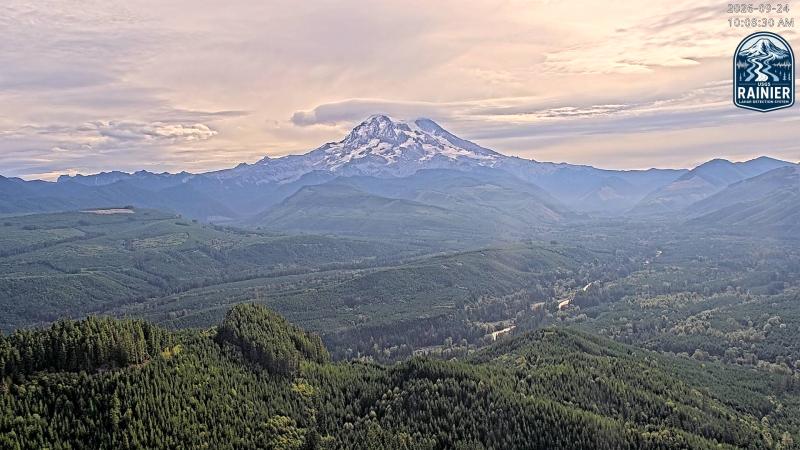 WorkingStill imageMount Rainier: Rainier (PAUL, Puyallup Drainage)
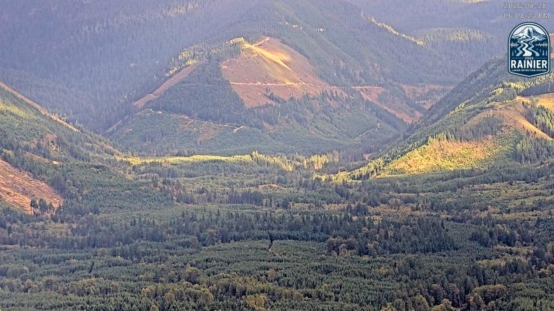 WorkingStill imageMount Rainier: Rainier (PAUL, Puyallup River)
 WorkingStill imageMount Adams: Adams (WATCH, Northwest)
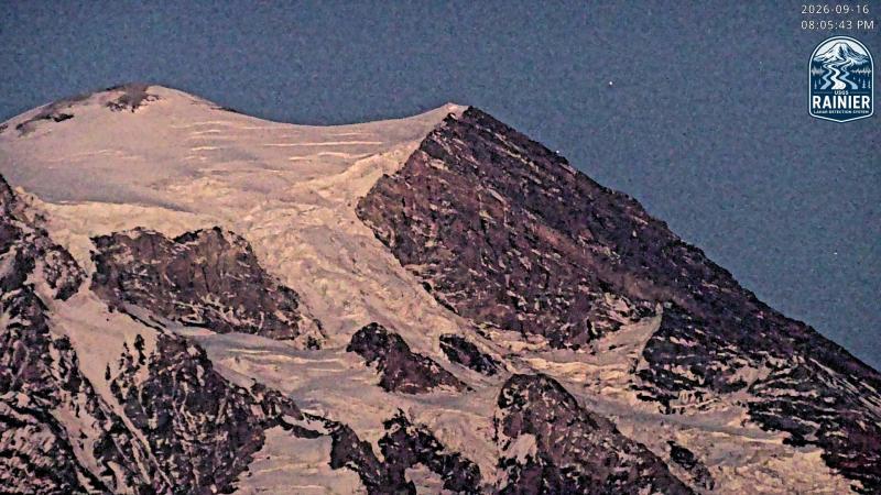 IntermittentStill imageMount Rainier: Rainier (PAUL, Tahoma Headwall)
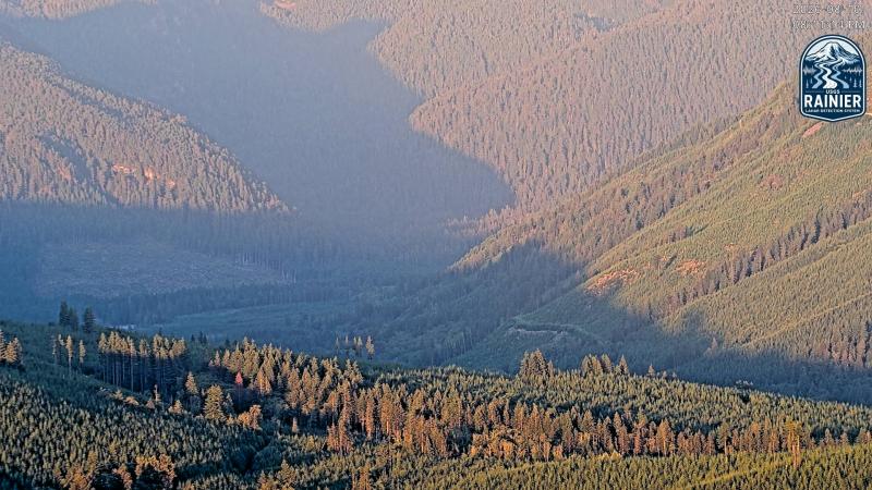 IntermittentStill imageMount Rainier: Rainier (PAUL, Mowich River)
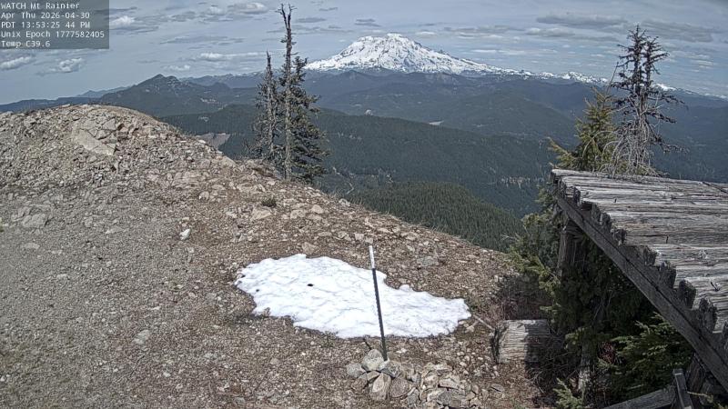 IntermittentStill imageRainier (WATCH, South)
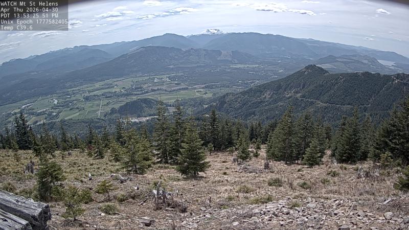 IntermittentStill imageSt. Helens (WATCH, North)
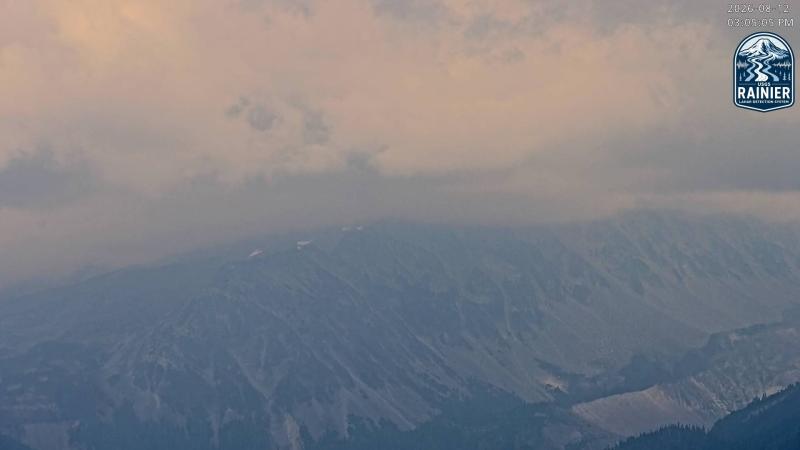 WorkingStill imageMount Rainier: Rainier (PAUL, Observation Rock)
 WorkingStill imageMount Rainier: Rainier (PAUL, St Andrews Rock)
No live video among these cameras. Turn off "Live video only" to see them all.
Best cams to watch
- Mount Baker: Baker (PAUL, Easton Glacier) — Still image · every 10 min.
- Mount Rainier: Rainier (PAUL, Mowich Face) — Still image · every 10 min.
- Mount Rainier: Rainier (PAUL, Puyallup Drainage) — Still image · every 10 min.
Mount Rainier is the highest peak in the Cascade Range, a glacier-covered volcano that stands about 14,400 feet above sea level, roughly 60 miles southeast of Seattle and Tacoma. It carries 26 major glaciers and more ice than any other peak in the lower 48 states. Mount Rainier National Park, created in 1899, was the fifth national park in the United States. On the south side, Paradise, at about 5,400 feet, is famous for wildflower meadows in summer and for deep snow, averaging around 640 inches a year.
The cameras on this page are part of the USGS Cascades Volcano Observatory network, viewed through the AshCam system, along with partner cameras. CVO uses them to watch for steam, ash and fresh debris flows, and to check the weather on the mountain when other instruments signal something. The main hazard here is not lava but lahars: fast mudflows of melted snow, ice and loose rock that can race down river valleys. The Osceola Mudflow about 5,000 years ago reached what is now the Puget Sound lowland, and towns such as Orting now have lahar warning systems and evacuation routes. USGS alerts follow the Normal, Advisory, Watch and Warning levels, with an aviation color code from Green to Red. As of early October 2026, Mount Rainier was at Normal/Green.
When to look
The park keeps Pacific Time (UTC-8, UTC-7 in summer). Locals say the mountain is out when the summit shows, which happens most often from July through September. In the wet season from October to spring, clouds can hide the peak for a week at a time, and snow often covers the lower camera views. Clear evenings can bring alpenglow on the upper glaciers, and wildflowers at Paradise usually peak from late July into August.
Nearby on our map, Mount St. Helens lies about 50 miles to the southwest, with its own CVO cameras and the story of 1980.
Sources: Mount Rainier - Wikipedia · Mount Rainier - USGS · Volcanoes - Mount Rainier National Park (NPS) · USGS Volcano Updates.
Nearby places
- Surrey (212)
- Fleetwood (126)
- Vancouver (120)
- New Westminster (111)
- Langley (107)
- Burnaby (102)
- Delta (78)
- Maple Ridge (76)
Questions about Mount Rainier
How many webcams can I watch in Mount Rainier?
LiveLocation lists 11 cameras in and around Mount Rainier, United States: 0 live video, 11 still images. 7 of them were live or showing a fresh image at the last check.
Where do the Mount Rainier cameras come from?
All of them come from USGS volcano observatories (11). Each camera plays straight from the agency or owner that runs it, with credit. USGS volcano observatories
What kinds of views are there in Mount Rainier?
All of them show volcano (11). Good ones to start with: Mount Baker: Baker (PAUL, Easton Glacier) and Mount Rainier: Rainier (PAUL, Mowich Face). Mount Baker: Baker (PAUL, Easton Glacier) Mount Rainier: Rainier (PAUL, Mowich Face)
Is there live video from Mount Rainier?
Not yet: the cameras here send still images that refresh about every 10 minutes. The map can show only live-video cameras nearby. Live video on the map
When is the best time to watch the Mount Rainier cameras?
Mount Rainier is on America/Los Angeles time. On October 7 the sun rises at 7:14 AM and sets at 6:35 PM, so still images are clearest between those times.
Are there live cameras near Mount Rainier?
The nearest are Mount St. Helens (50 mi away, 14 cameras), Mount Hood (102 mi away, 2 cameras) and Port Angeles (117 mi away, 1 camera). Mount St. Helens Mount Hood Port Angeles
Is there a map of the cameras in Mount Rainier?
The map at the top of this page shows all 11 of them. The live camera radar centers on Mount Rainier and lists every camera within 5 to 250 miles, nearest first, with filters for live video, traffic, nature and more. Open the radar on Mount Rainier
Place names and locations: GeoNames, licensed under CC BY 4.0.