Live cameras in New Westminster, Canada
117 cameras: 0 live video, 117 still images · 111 working now · updated Oct 8, 03:31 UTC
New Westminster has 117 live cameras on LiveLocation right now: 0 live video, 117 still images. Good places to start: Highway 17, Tannery Road, looking north, Highway 17, Tannery Road, looking south, Highway 17, Tannery Road, looking east. Local time is 8:31 PM (America/Vancouver). Today the sun rises at 7:20 AM and sets at 6:37 PM.
New Westminster live cameras
Every New Westminster live camera we know of: 0 live video, 117 still images. 111 were working at the last check. New Westminster is home to about 79,000 people.
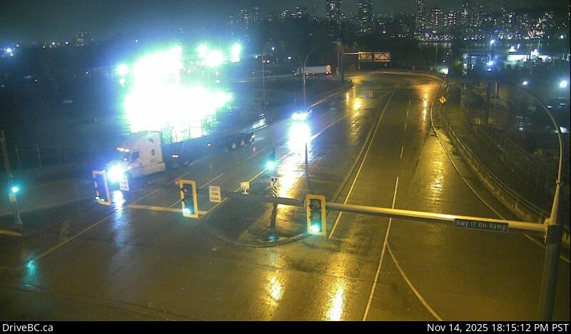 WorkingStill imageHighway 17, Tannery Road, looking north
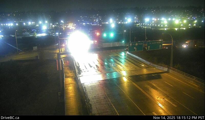 WorkingStill imageHighway 17, Tannery Road, looking south
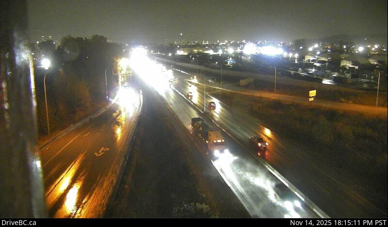 WorkingStill imageHighway 17, Tannery Road, looking east
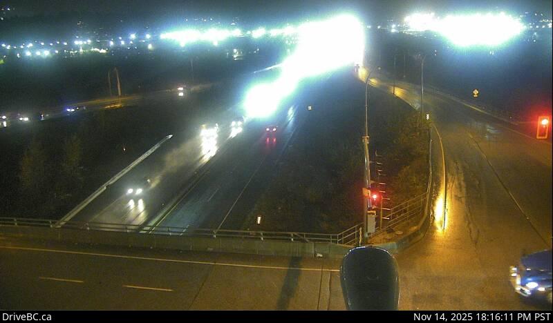 WorkingStill imageHighway 17, Tannery Road, looking west
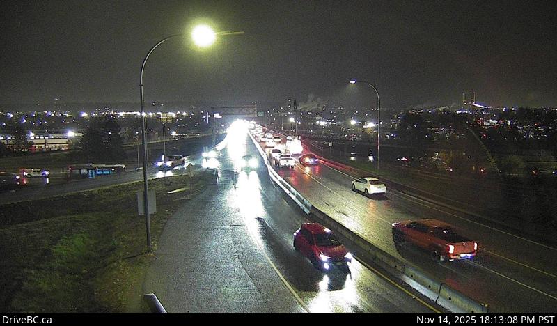 WorkingStill imageHighway 91A, Hwy 91A at Queensborough Bridge, looking south
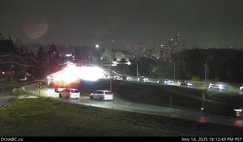 WorkingStill imageHighway 91A, Hwy 91A at Queensborough Bridge, looking east
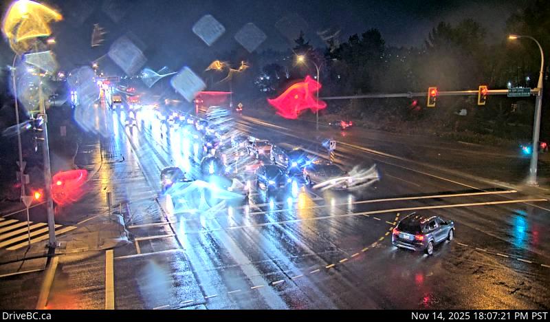 WorkingStill imageHighway 17, Bridgeview Drive, looking east
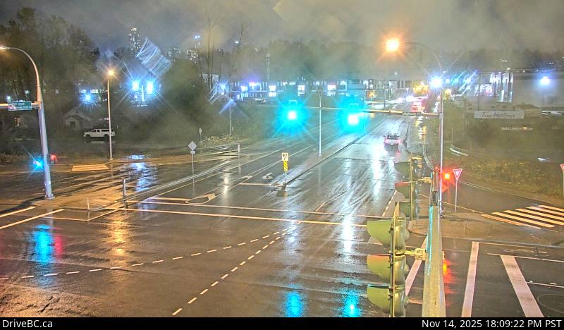 WorkingStill imageHighway 17, Bridgeview Drive, looking south
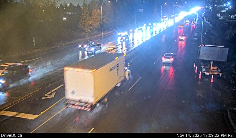 WorkingStill imageHighway 17, Bridgeview Drive, looking west
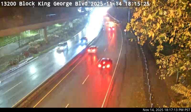 WorkingStill imageHighway 99A, Bridge Approach
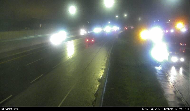 WorkingStill imageHighway 91A, Howes Street, looking west
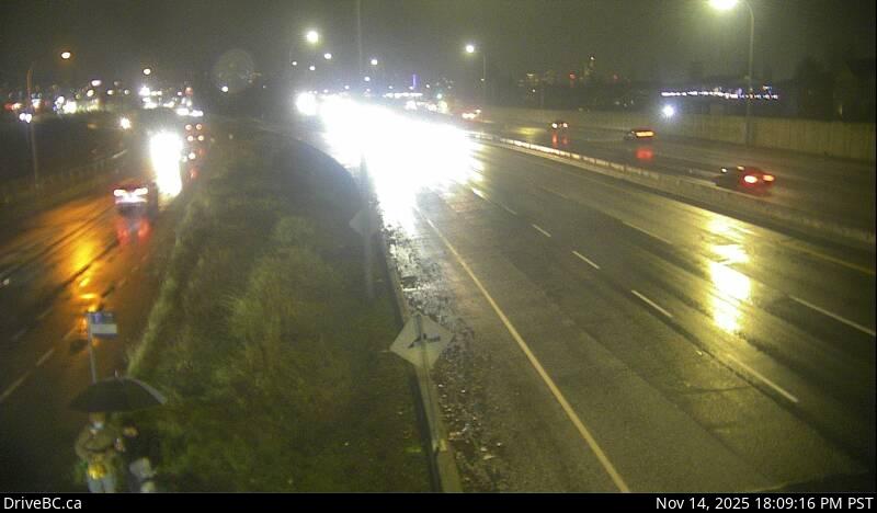 WorkingStill imageHighway 91A, Howes Street, looking east
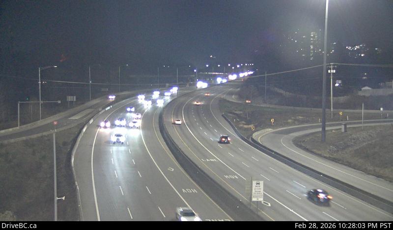 WorkingStill imageHighway 1, Brunette
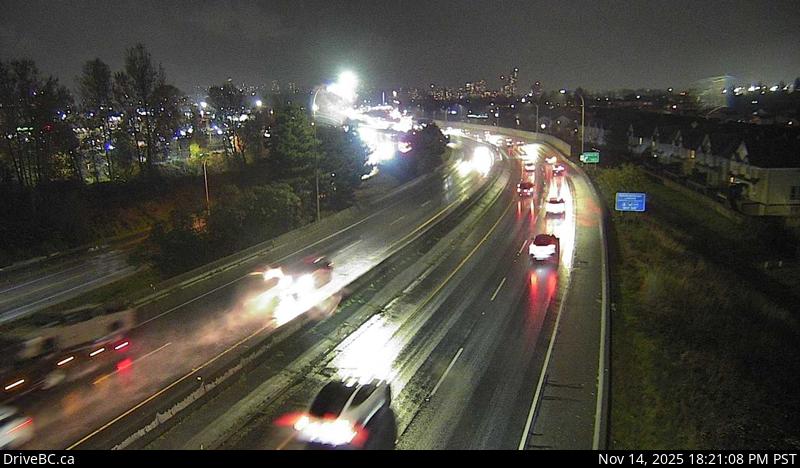 WorkingStill imageHighway 91A, Hwy 91A at Boundary Road, looking east
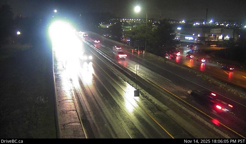 WorkingStill imageHighway 91A, Hwy 91A at Boundary Road, looking west
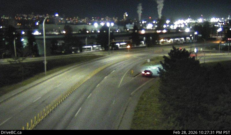 WorkingStill imageHighway 91, Annacis Island, looking east
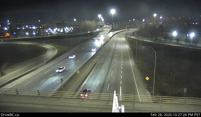 WorkingStill imageHighway 91, Annacis Island, looking north
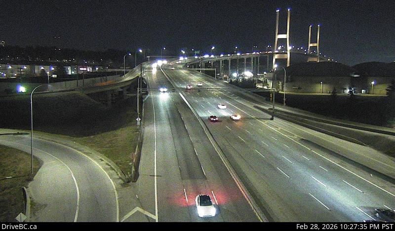 WorkingStill imageHighway 91, Annacis Island, looking south
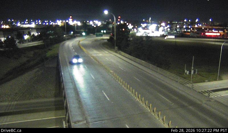 WorkingStill imageHighway 91, Annacis Island, looking west
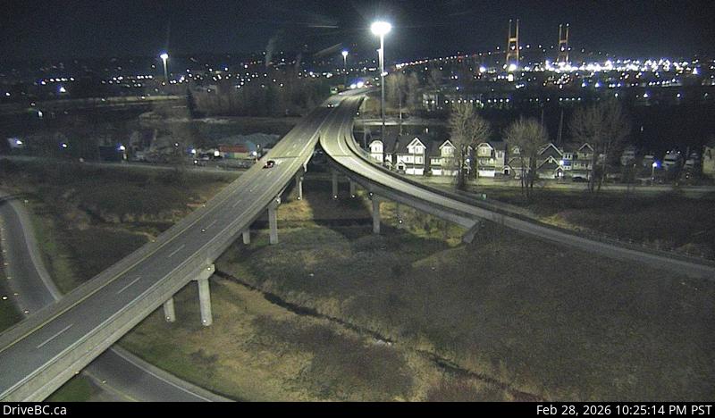 WorkingStill imageHighway 91, Alex Fraser Bridge Southbound
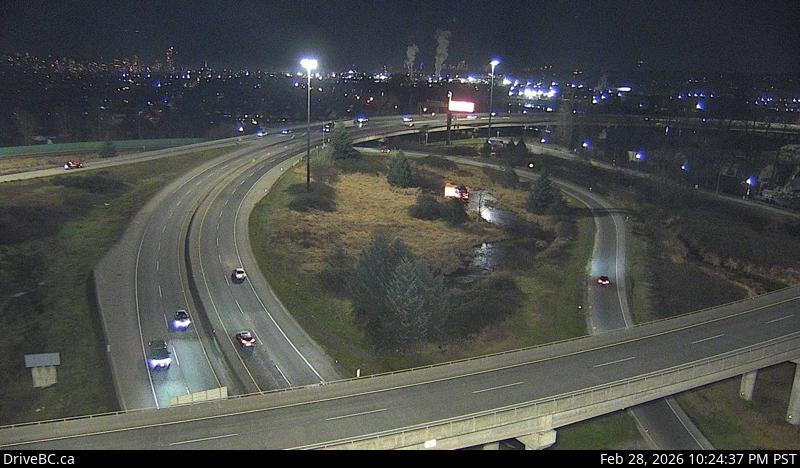 WorkingStill imageHighway 91, Annacis Channel Bridge Approach
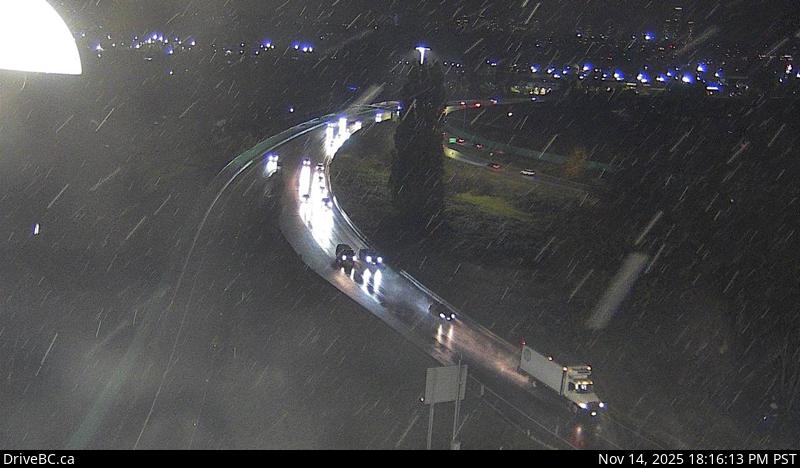 WorkingStill imageHighway 91A, Queensborough Connector
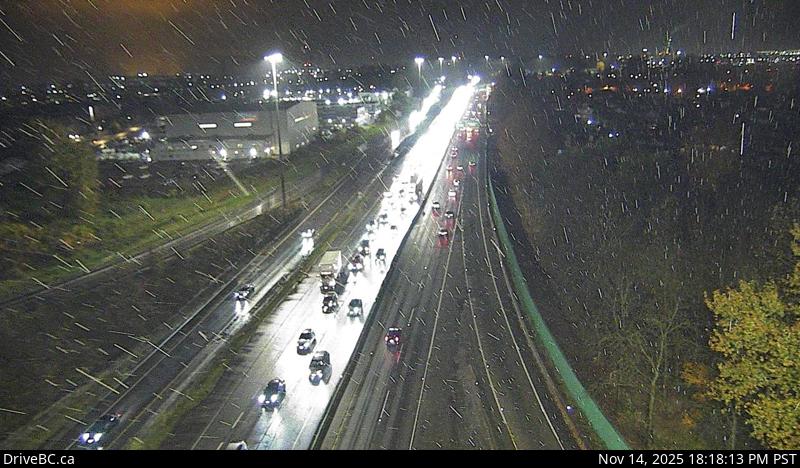 WorkingStill imageHighway 91, Hwy 91 East-West Connector, looking west
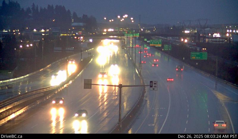 WorkingStill imageHighway 1, Coquitlam
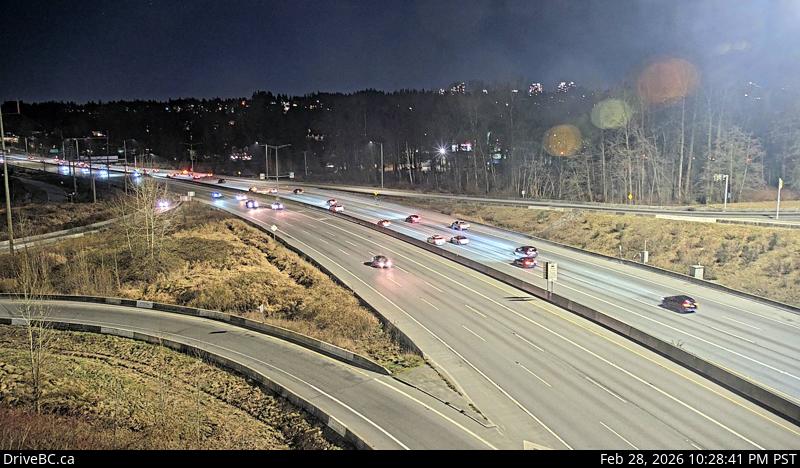 WorkingStill imageHighway 1, Kensington Avenue, looking east
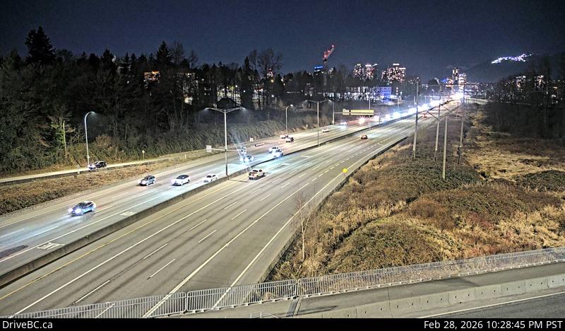 WorkingStill imageHighway 1, Kensington Avenue, looking west
 WorkingStill imageHighway 91, Alex Fraser Bridge, looking south
 WorkingStill imageHighway 91, Alex Fraser Bridge, looking north
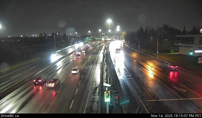 WorkingStill imageHighway 91, Hwy 91 at Fraserwood Way, looking east
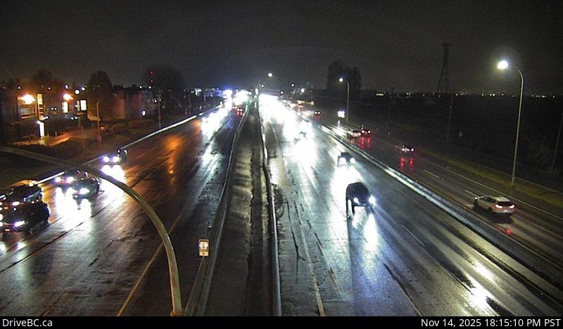 WorkingStill imageHighway 91, Hwy 91 at Fraserwood Way, looking west
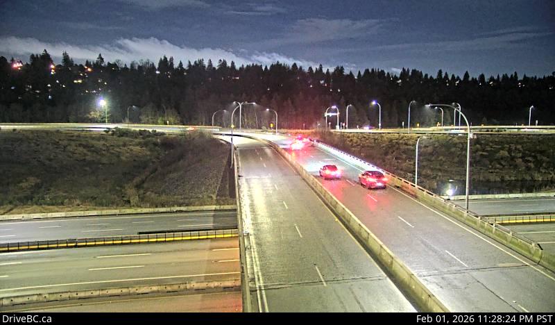 WorkingStill imageHighway 91, Hwy 91 Connector at Nordel Way, looking east
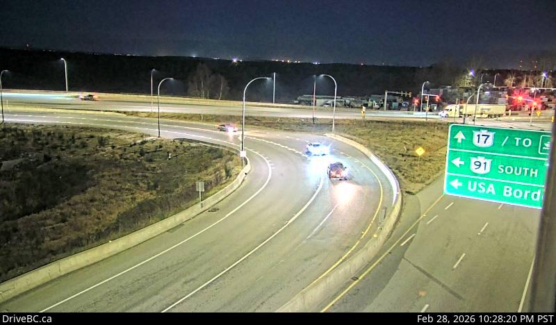 WorkingStill imageHighway 91, Hwy 91 Connector at Nordel Way, looking west
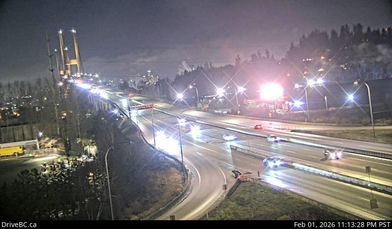 WorkingStill imageHighway 91, Hwy 91 Connector at Nordel Way, looking north
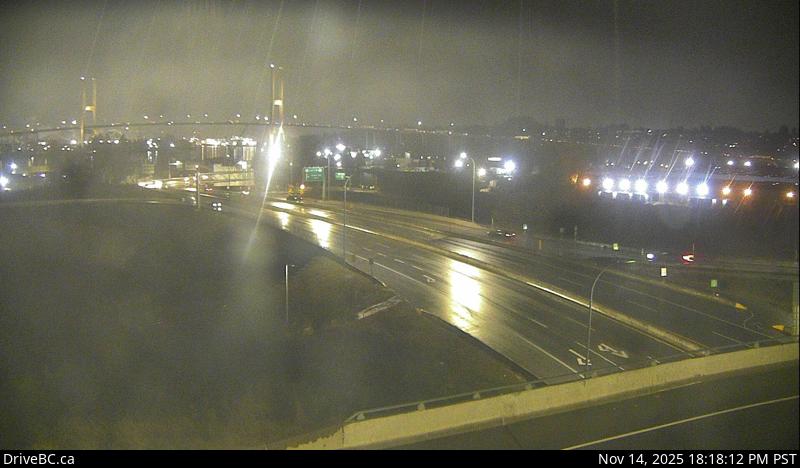 WorkingStill imageHighway 17, Hwy 17 at Hwy 91 Connector, looking east
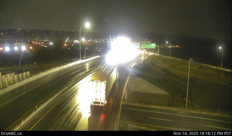 WorkingStill imageHighway 17, Hwy 17 at Hwy 91 Connector, looking north
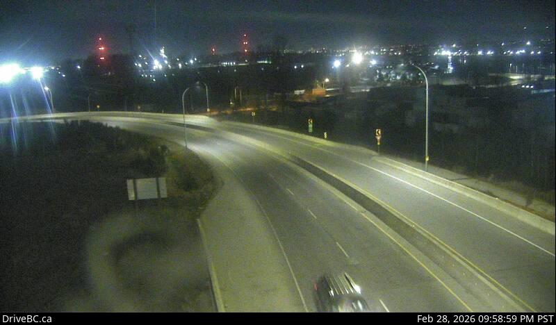 WorkingStill imageHighway 17, Hwy 17 at Hwy 91 Connector, looking south
 WorkingStill imageHighway 17, Hwy 17 at Hwy 91 Connector, looking west
 WorkingStill imageHighway 1, Port Mann Bridge, looking west
 WorkingStill imageHighway 1, Port Mann Bridge, looking east
 WorkingStill imageHighway 1, Douglas Road, looking east
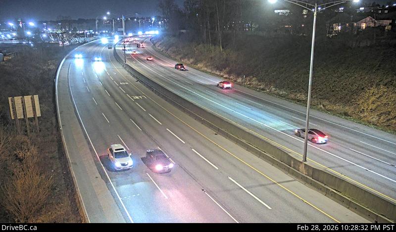 WorkingStill imageHighway 1, Douglas Road, looking west
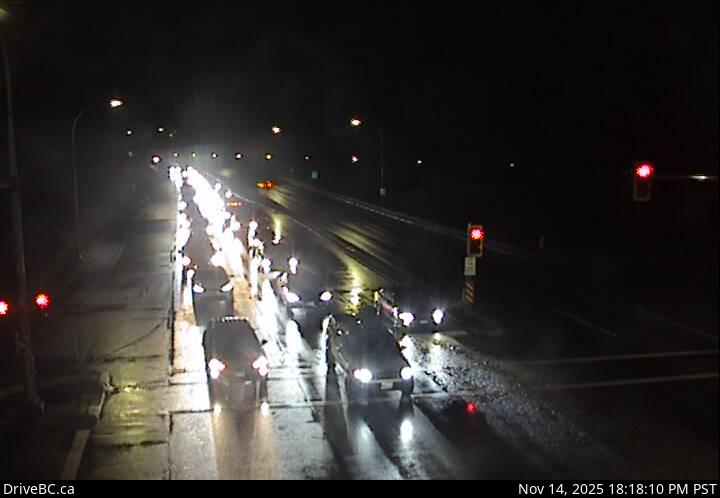 WorkingStill imageHighway 7B, Mary Hill Bypass at Shaughnessy, looking east
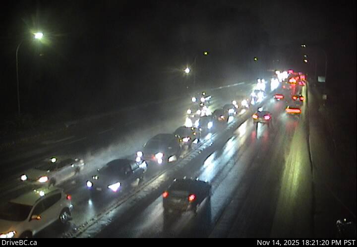 WorkingStill imageHighway 7B, Mary Hill Bypass at Shaughnessy, looking west
 WorkingStill imageHighway 91, Hwy 91 at No.8 Road, looking east
 WorkingStill imageHighway 91, Hwy 91 at No.8 Road, looking west
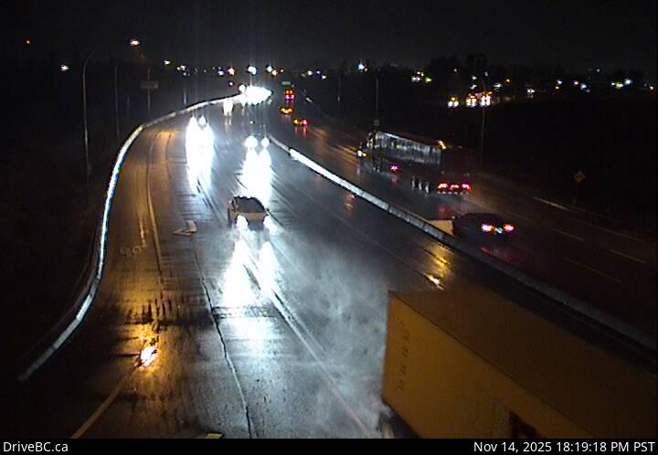 WorkingStill imageHighway 17, Hwy 17 at 80 Street, looking west
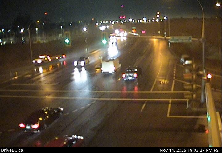 WorkingStill imageHighway 17, Hwy 17 at 80 Street, looking east
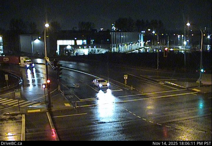 WorkingStill imageHighway 17, Hwy 17 at 80 Street, looking north
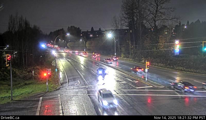 WorkingStill imageHighway 7B, Pitt River Road, looking west
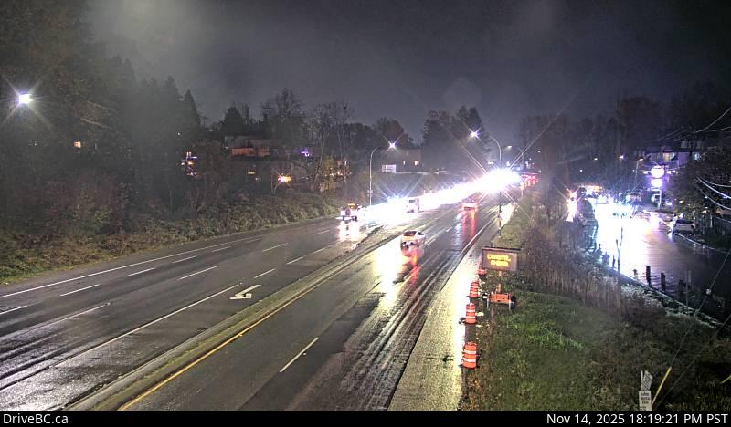 WorkingStill imageHighway 7B, Pitt River Road, looking east
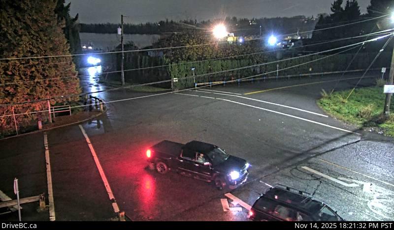 WorkingStill imageHighway 7B, Pitt River Road, looking south
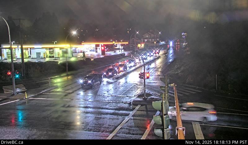 WorkingStill imageHighway 7B, Pitt River Road, looking north
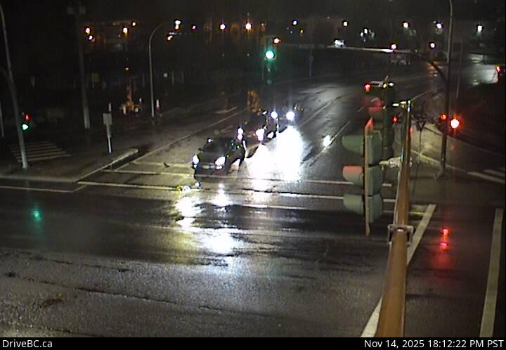 WorkingStill imageHighway 7B, Mary Hill Bypass at Broadway, looking north
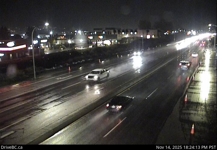 WorkingStill imageHighway 7B, Mary Hill Bypass at Broadway, looking east
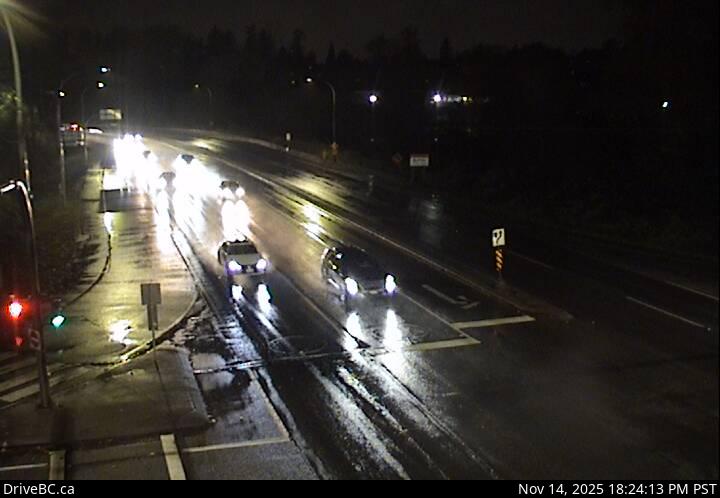 WorkingStill imageHighway 7B, Mary Hill Bypass at Broadway, looking west
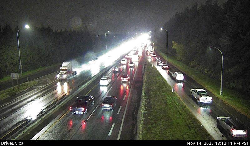 WorkingStill imageHighway 91, Hwy 91 at No.6 Road, looking east
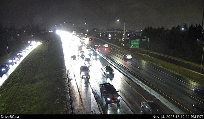 WorkingStill imageHighway 91, Hwy 91 at No.6 Road, looking west
 WorkingStill imageHighway 1, Cassiar Tunnel
 WorkingStill imageKnight Street Bridge northend, looking north
 WorkingStill imageKnight Street Bridge northend, looking south
 WorkingStill imageKnight Street Bridge southend, looking north
 WorkingStill imageKnight Street Bridge southend, looking south
 WorkingStill imageHighway 1, Ironworkers South eastbound
 WorkingStill imageHighway 1, Ironworkers South westbound
 WorkingStill imageHighway 10, Hwy 10 at King George Boulevard, looking south
 WorkingStill imageHighway 10, Hwy 10 at King George Boulevard, looking west
 WorkingStill imageHighway 10, Hwy 10 at King George Boulevard, looking east
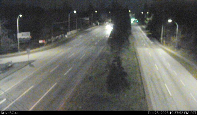 WorkingStill imageHighway 10, Hwy 10 at King George Boulevard, looking north
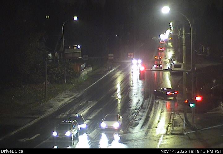 WorkingStill imageHighway 17, 104 Avenue at Hwy 17 westbound
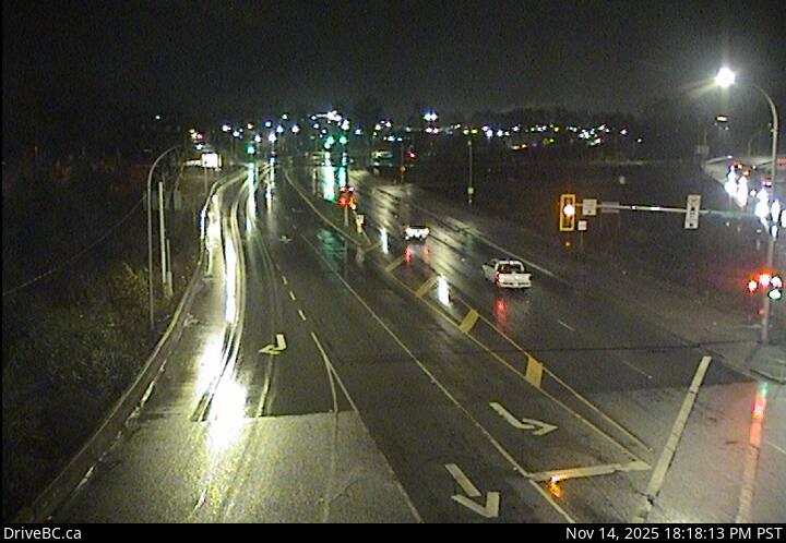 WorkingStill imageHighway 17, 104 Avenue at Hwy 17 eastbound
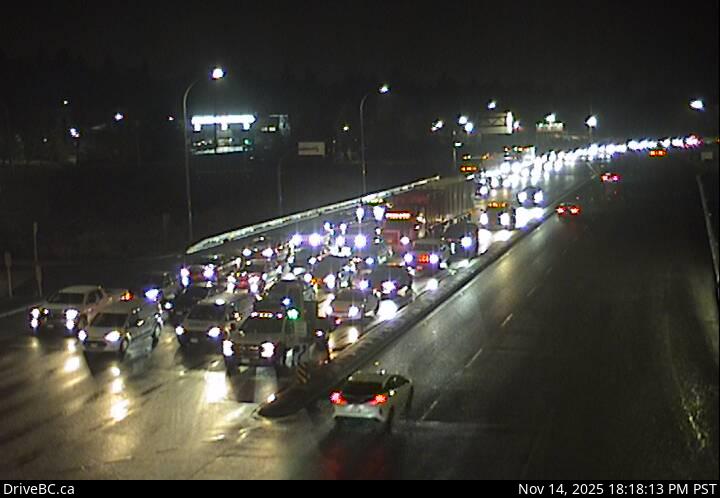 WorkingStill imageHighway 17, Hwy 17 at 104 Avenue eastbound
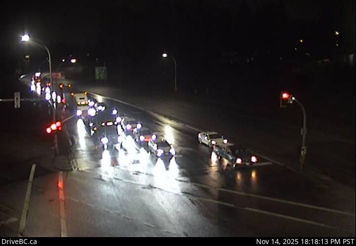 WorkingStill imageHighway 17, Hwy 17 at 104 Avenue southbound
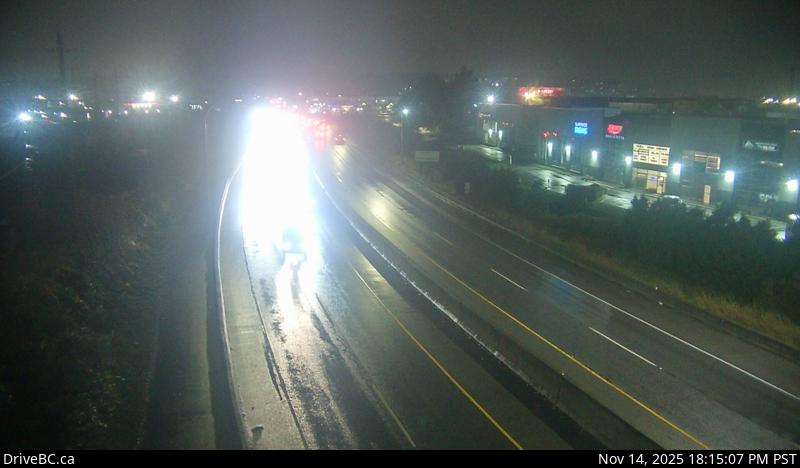 WorkingStill imageHighway 7B, Mary Hill Bypass, looking west
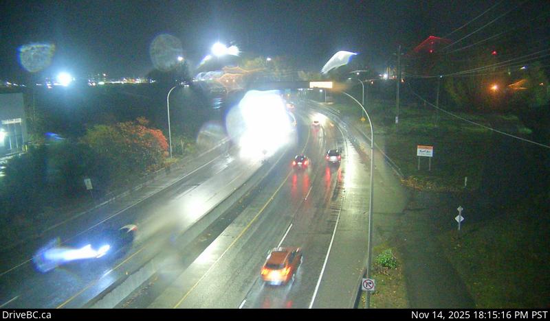 WorkingStill imageHighway 7B, Mary Hill Bypass, looking east
 WorkingStill imageHighway 1, Ironworkers midspan
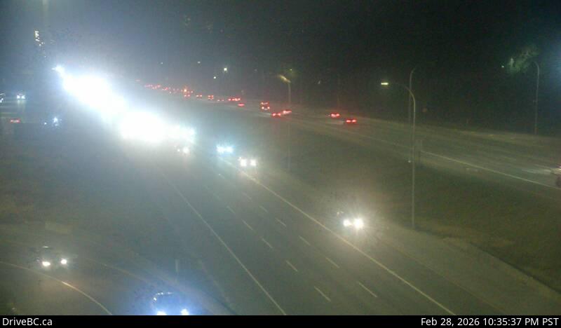 WorkingStill imageHighway 1, Hwy 1 at 176 Street, looking east
 WorkingStill imageHighway 1, Hwy 1 at 176 Street, looking west
 WorkingStill imageHighway 1, Hwy 1 at 176 Street, looking south
 WorkingStill imageHighway 1, Hwy 1 at 176 Street, looking north
 WorkingStill imageHighway 99, Hwy 99 at Mud Bay, looking east
 WorkingStill imageHighway 99, Hwy 99 at Mud Bay, looking west
 WorkingStill imageHighway 99, Hwy 99 at Westminster Highway, looking south
 WorkingStill imageHighway 99, Hwy 99 at Westminster Highway, looking north
 WorkingStill imageHighway 1, Ironworkers North, looking south
 WorkingStill imageHighway 15, Hwy 15 at 88 Avenue, looking east
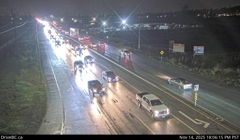 WorkingStill imageHighway 15, Hwy 15 at 88 Avenue, looking south
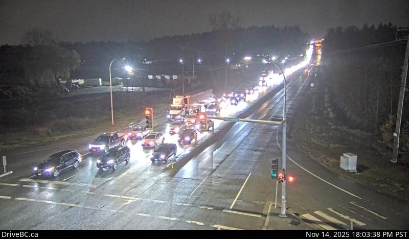 WorkingStill imageHighway 15, Hwy 15 at 88 Avenue, looking north
 WorkingStill imageHighway 1, Ironworkers North, looking north
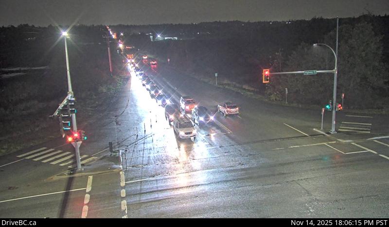 WorkingStill imageHighway 15, Hwy 15 at 88 Avenue, looking west
 WorkingStill imageBarnston Island, looking north
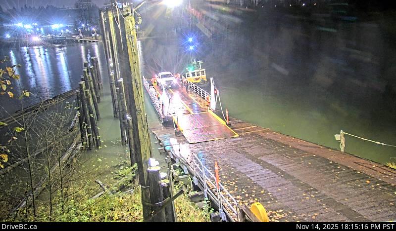 WorkingStill imageBarnston Island, looking west
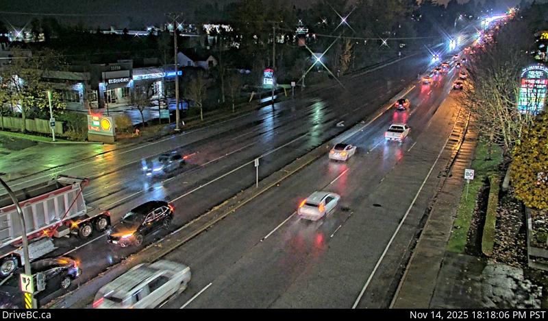 WorkingStill imageHighway 10, Hwy 10 at 152 Street, looking west
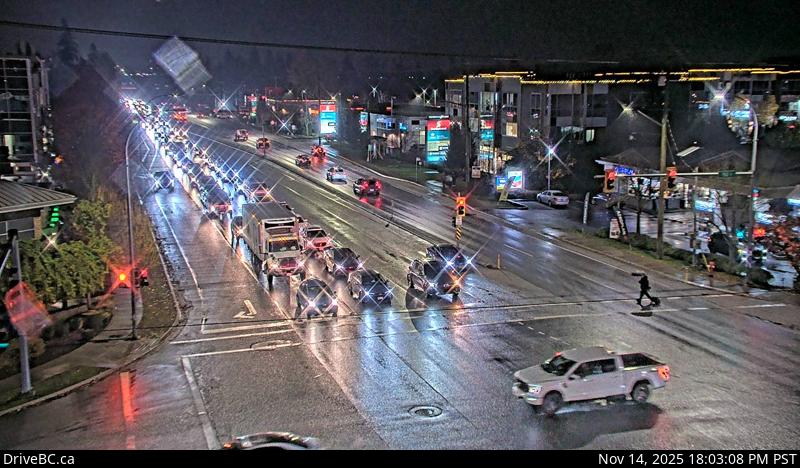 WorkingStill imageHighway 10, Hwy 10 at 152 Street, looking east
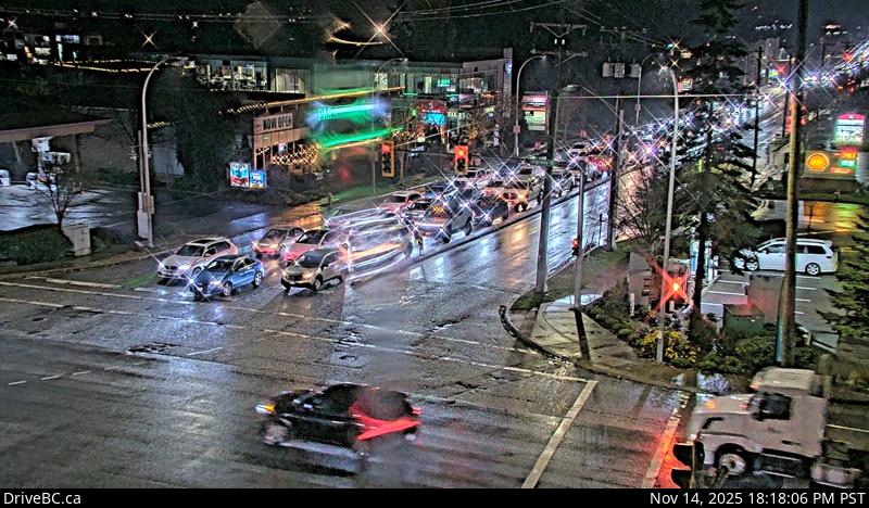 WorkingStill imageHighway 10, Hwy 10 at 152 Street, looking south
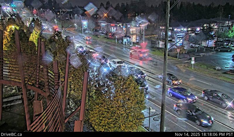 WorkingStill imageHighway 10, Hwy 10 at 152 Street, looking north
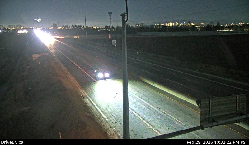 WorkingStill imageHighway 99, Blundell, looking north
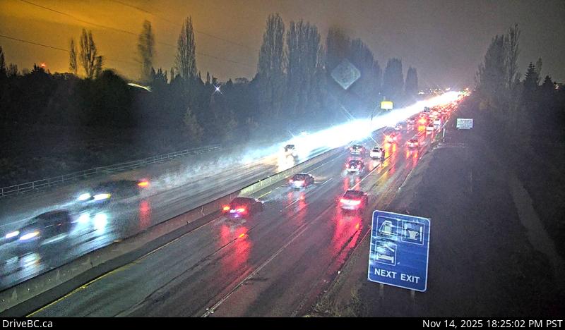 WorkingStill imageHighway 99, Blundell, looking south
 WorkingStill imageHighway 1, Ironworkers North approach, looking north
 WorkingStill imageHighway 1, Ironworkers North approach, looking south
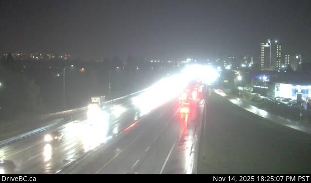 WorkingStill imageHighway 99, Hwy 99 at Shell Road
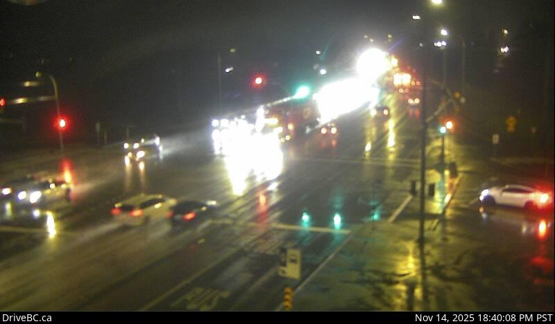 WorkingStill imageHighway 7, Lougheed Highway
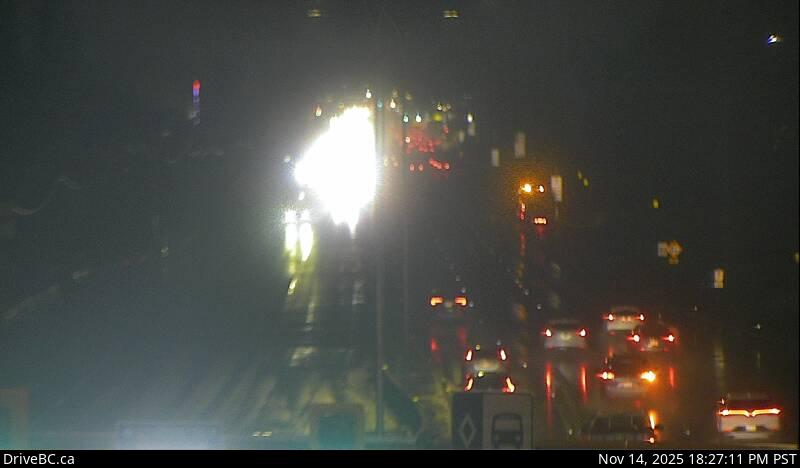 WorkingStill imageHighway 7, Pitt Meadows
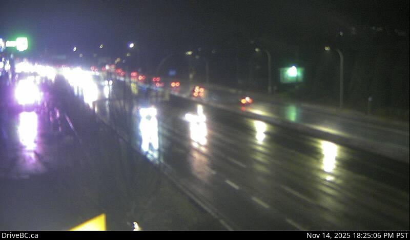 WorkingStill imageHighway 7, Lougheed at Kennedy Road
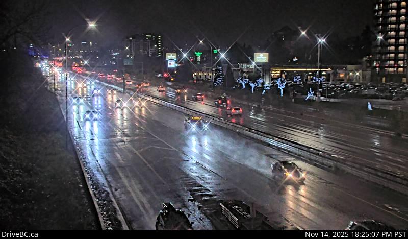 WorkingStill imageHighway 99, Hwy 99 at Cambie, looking north
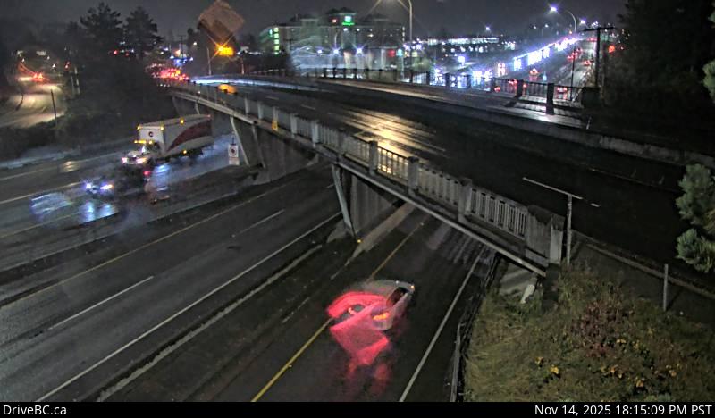 WorkingStill imageHighway 99, Hwy 99 at Cambie, looking south
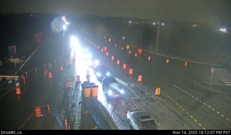 WorkingStill imageHighway 15, Hwy 15 at Fraser Highway, looking northwest
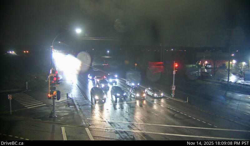 WorkingStill imageHighway 15, Hwy 15 at Fraser Highway, looking north
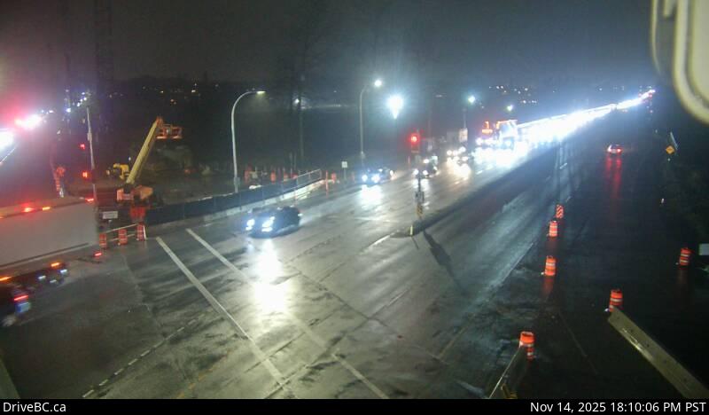 WorkingStill imageHighway 15, Hwy 15 at Fraser Highway, looking south
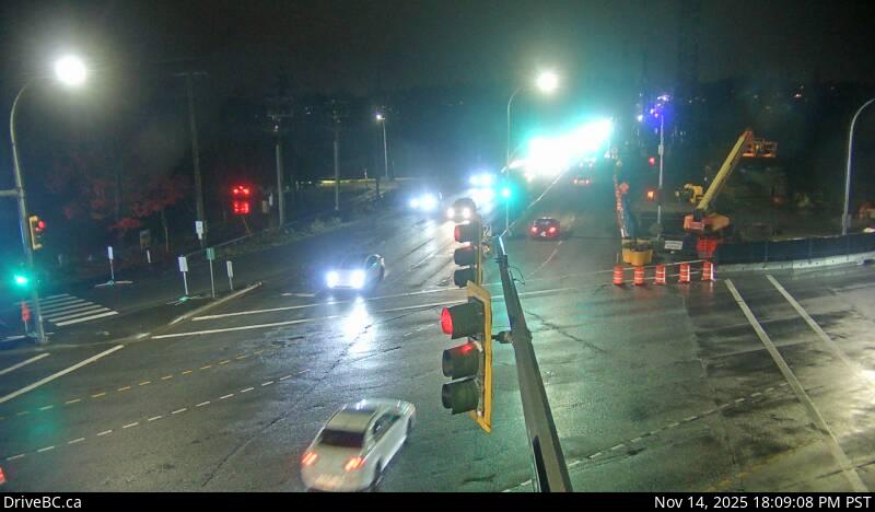 WorkingStill imageHighway 15, Hwy 15 at Fraser Highway, looking southeast
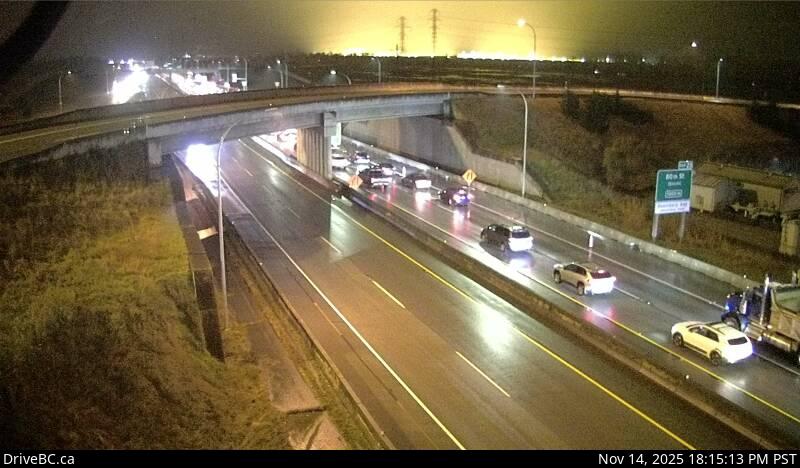 WorkingStill imageHighway 99, Hwy 99 at Hwy 17, looking east
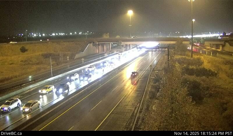 WorkingStill imageHighway 99, Hwy 99 at Hwy 17, looking west
 OfflineStill imageHighway 91, Hwy 91 at 72 Avenue, looking east
 OfflineStill imageHighway 91, Hwy 91 at 72 Avenue, looking north
 OfflineStill imageHighway 91, Hwy 91 at 72 Avenue, looking south
 OfflineStill imageBarnston, Port Kells, looking west
 OfflineStill imageBarnston, Port Kells, looking east
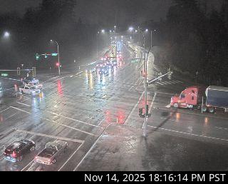 OfflineStill imageGolden Ears Way at 96 Avenue
No live video among these cameras. Turn off "Live video only" to see them all.
Best cams to watch
- Highway 17, Tannery Road, looking north — Still image · every 16 min, working 100 % of the time in the last 30 days.
- Highway 17, Tannery Road, looking south — Still image · every 16 min, working 100 % of the time in the last 30 days.
- Highway 17, Tannery Road, looking east — Still image · every 16 min, working 100 % of the time in the last 30 days.
New Westminster is a compact city on the north bank of the Fraser River in Metro Vancouver, wedged between Burnaby and Coquitlam with the Queensborough neighborhood across the river's north arm on Lulu Island. It was founded in 1858 by Colonel Richard Clement Moody and served as the capital of the Colony of British Columbia until 1866. Queen Victoria chose its name, which is why it is still called the Royal City. For decades it was the largest city on the mainland until Vancouver overtook it. About 79,000 people lived here at the 2021 census, in a city of only about sixteen square kilometers. The riverfront quay, the River Market and the old downtown on Columbia Street are good places to watch tugs and log booms on the river, and the city's Hyack Festival keeps a colonial-era tradition of firing an anvil salute.
About the cameras
The cameras that list New Westminster as their main place come from DriveBC, the British Columbia highway information service. They show still images updated every few minutes, aimed at the city's bridges and their approaches. The new stal̕əw̓asəm Bridge, which replaced the old Pattullo Bridge in early 2026, carries traffic across the Fraser to Surrey, and the Queensborough Bridge links the city to Queensborough and Richmond. These crossings are some of the busiest pinch points in the region.
New Westminster is on Pacific Time. Bridge traffic is heaviest on weekday mornings and late afternoons, and the cameras are useful when a crash or snowfall slows the crossings. Winters are mild and rainy, with only occasional snow, and the Fraser often carries morning mist in autumn. Summer evenings are long, with light past nine in late June.
Nearby, Burnaby's Deer Lake Park lies a short drive northwest, and the SkyTrain Expo Line crosses the river here to Surrey on its own bridge, a good landmark to look for on the map.
Sources: New Westminster - Wikipedia · stal̕əw̓asəm Bridge - Wikipedia · DriveBC - British Columbia highway cameras.
Nearby places
Questions about New Westminster
How many webcams can I watch in New Westminster?
LiveLocation lists 117 cameras in and around New Westminster, Canada: 0 live video, 117 still images. 111 of them were live or showing a fresh image at the last check.
Where do the New Westminster cameras come from?
All of them come from DriveBC (117). Each camera plays straight from the agency or owner that runs it, with credit. DriveBC
What kinds of views are there in New Westminster?
The views are traffic and highway (104) and bridge (13). Good ones to start with: Highway 17, Tannery Road, looking north and Highway 17, Tannery Road, looking south. Highway 17, Tannery Road, looking north Highway 17, Tannery Road, looking south
Is there live video from New Westminster?
Not yet: the cameras here send still images that refresh about every 13 minutes. The map can show only live-video cameras nearby. Live video on the map
When is the best time to watch the New Westminster cameras?
New Westminster is on America/Vancouver time. On October 7 the sun rises at 7:20 AM and sets at 6:37 PM, so still images are clearest between those times. Road cameras show the most traffic in the weekday morning and evening rush hours.
Are there live cameras near New Westminster?
The nearest are Burnaby (7.3 km away, 102 cameras), Strawberry Hill (8.4 km away, 39 cameras) and Fleetwood (9.2 km away, 126 cameras). Burnaby Strawberry Hill Fleetwood
Is there a map of the cameras in New Westminster?
The map at the top of this page shows all 117 of them. The live camera radar centers on New Westminster and lists every camera within 5 to 250 km, nearest first, with filters for live video, traffic, nature and more. Open the radar on New Westminster
Place names and locations: GeoNames, licensed under CC BY 4.0.