Live cameras in Delta, Canada
81 cameras: 0 live video, 81 still images · 78 working now · updated Oct 8, 03:31 UTC
Delta has 81 live cameras on LiveLocation right now: 0 live video, 81 still images. Good places to start: Highway 17A, Ladner, looking west, Highway 17A, Ladner, looking north, Highway 17A, Ladner, looking east. Local time is 8:31 PM (America/Vancouver). Today the sun rises at 7:21 AM and sets at 6:38 PM.
Delta live cameras
Watch Delta live webcams: 0 live video, 81 still images. 78 were working at the last check. Delta is home to about 102,000 people.
Weather now in Delta: 12 °C (54 °F), mostly clear, wind 8 km/h (5 mph) from the southeast. Forecast for 9 PM local time. Weather: MET Norway (CC BY 4.0)
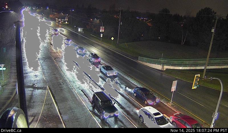 WorkingStill imageHighway 17A, Ladner, looking west
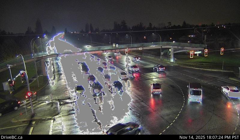 WorkingStill imageHighway 17A, Ladner, looking north
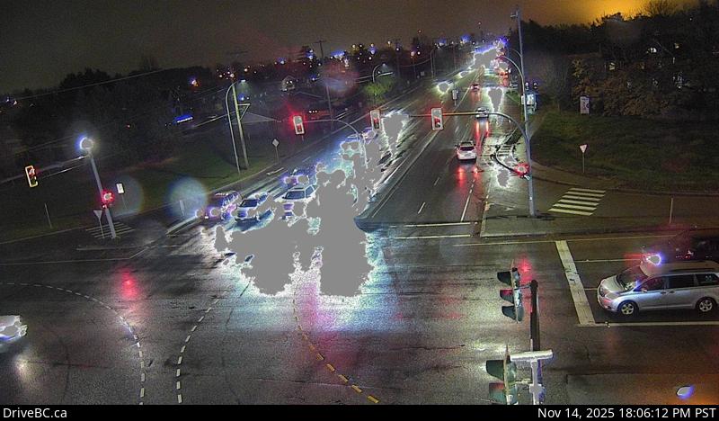 WorkingStill imageHighway 17A, Ladner, looking east
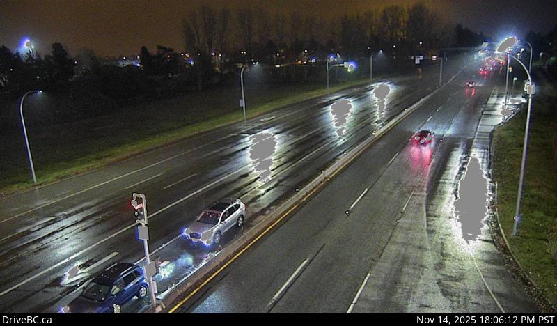 WorkingStill imageHighway 17A, Ladner, looking south
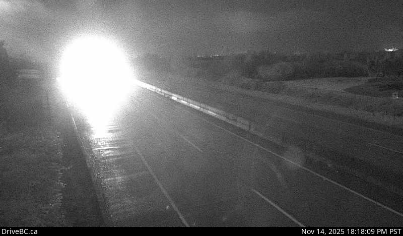 WorkingStill imageHighway 17A, Delta, looking south
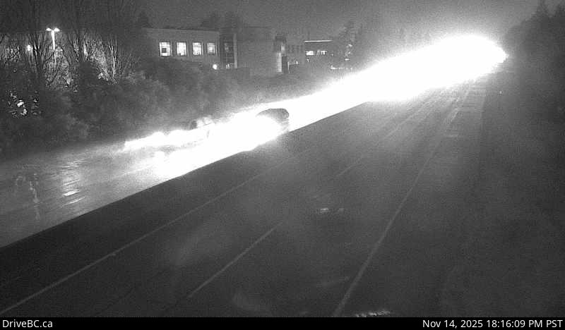 WorkingStill imageHighway 17A, Delta, looking north
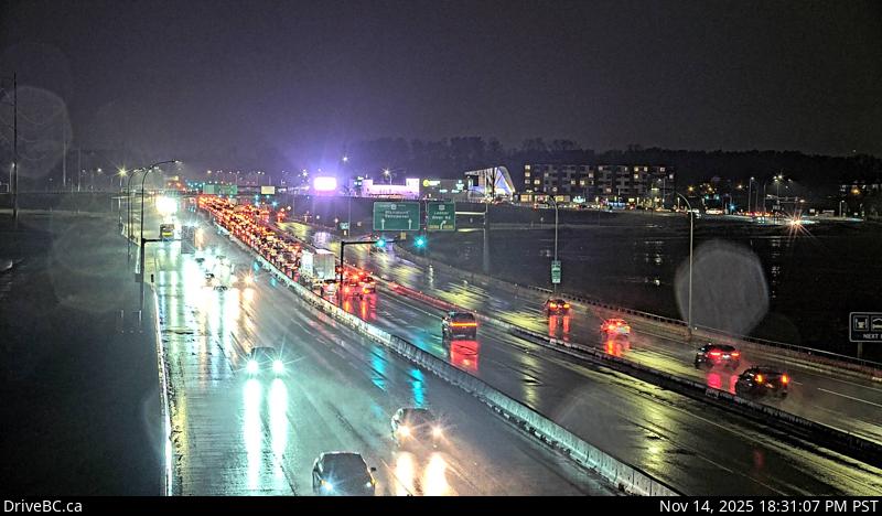 WorkingStill imageHighway 99, Works Yard
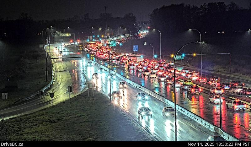 WorkingStill imageHighway 99, Hwy 17A Overpass
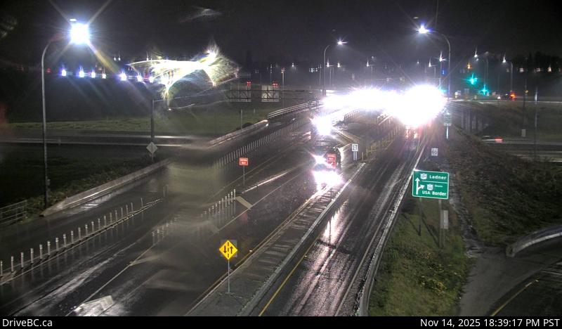 WorkingStill imageHighway 99, Hwy 99 at Hwy 17A, looking south
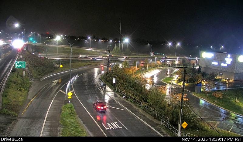 WorkingStill imageHighway 99, Hwy 99 at Hwy 17A, looking east
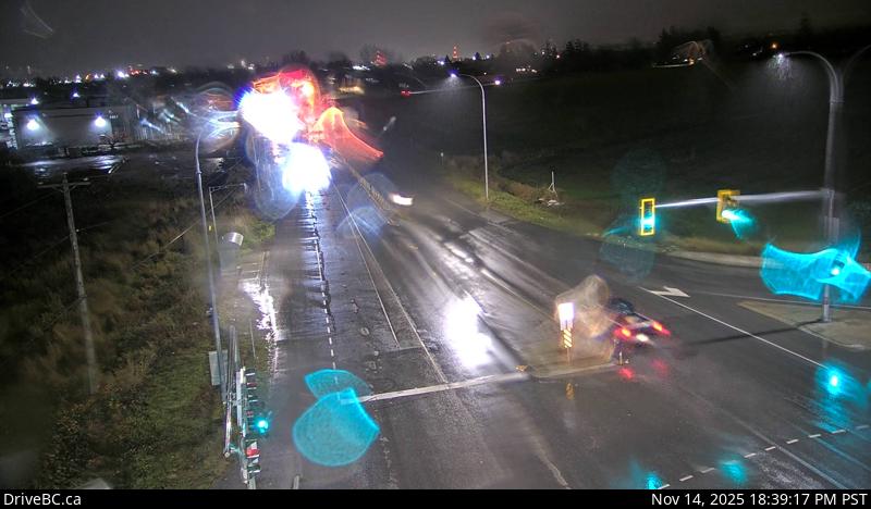 WorkingStill imageHighway 99, Hwy 99 at Hwy 17A, looking northeast
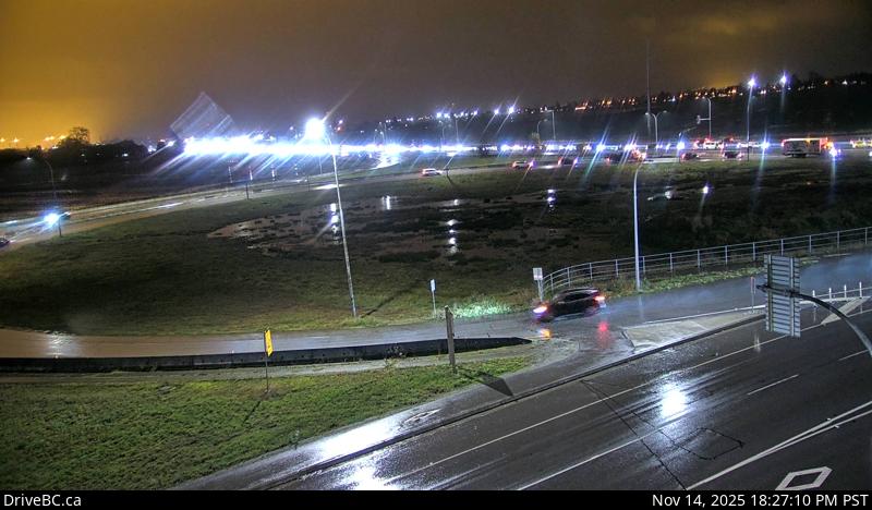 WorkingStill imageHighway 99, Hwy 99 at Hwy 17A, looking west
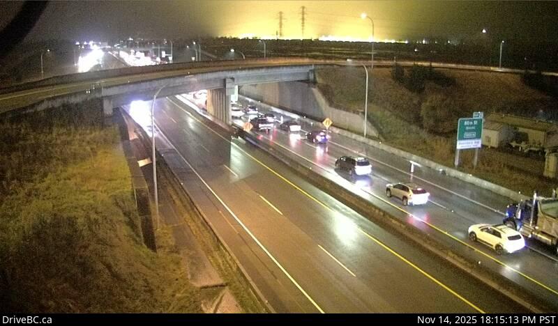 WorkingStill imageHighway 99, Hwy 99 at Hwy 17, looking east
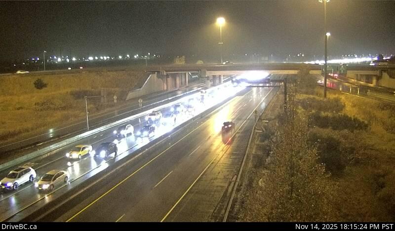 WorkingStill imageHighway 99, Hwy 99 at Hwy 17, looking west
 WorkingStill imageHighway 99, South Approach
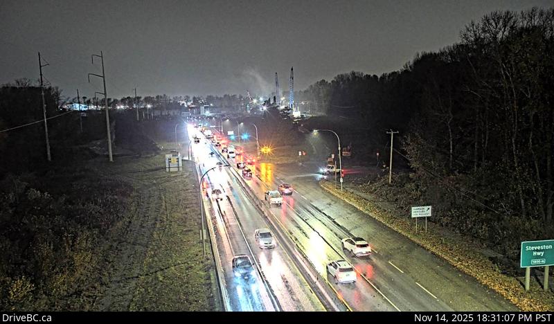 WorkingStill imageHighway 99, Deas
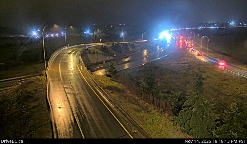 WorkingStill imageHighway 17, Deltaport Way, looking south
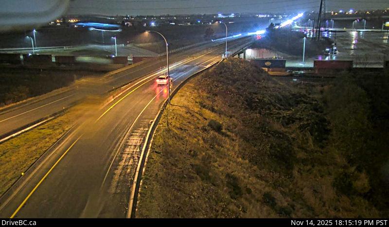 WorkingStill imageHighway 17, Deltaport Way, looking north
 WorkingStill imageHighway 17, Deltaport Way, looking east
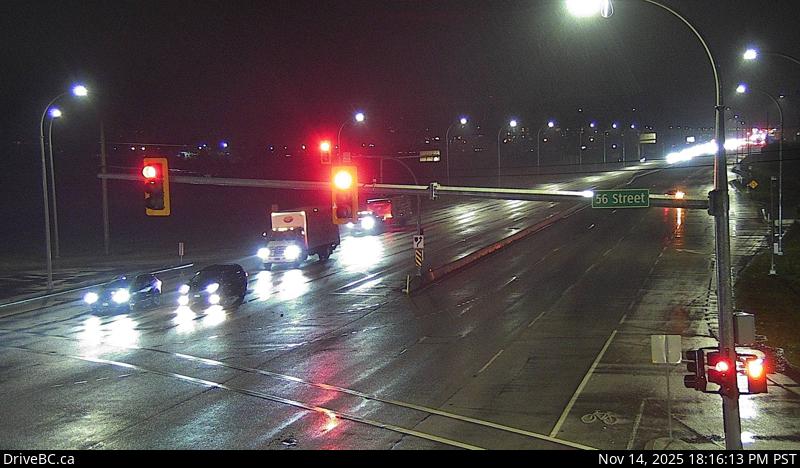 WorkingStill imageHighway 17, Hwy 17 at 56 Street, looking west
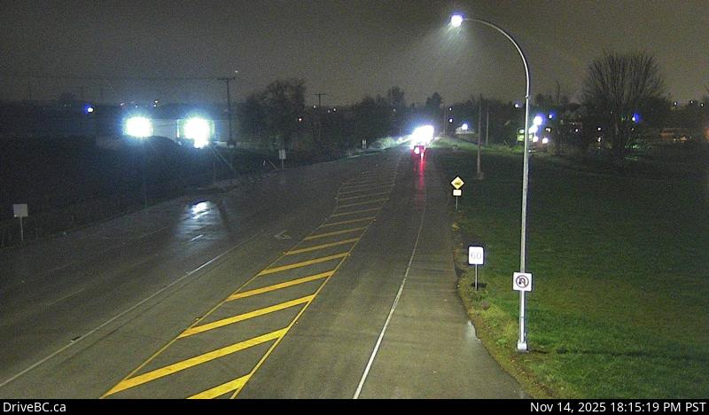 WorkingStill imageHighway 17, Hwy 17 at 56 Street, looking north
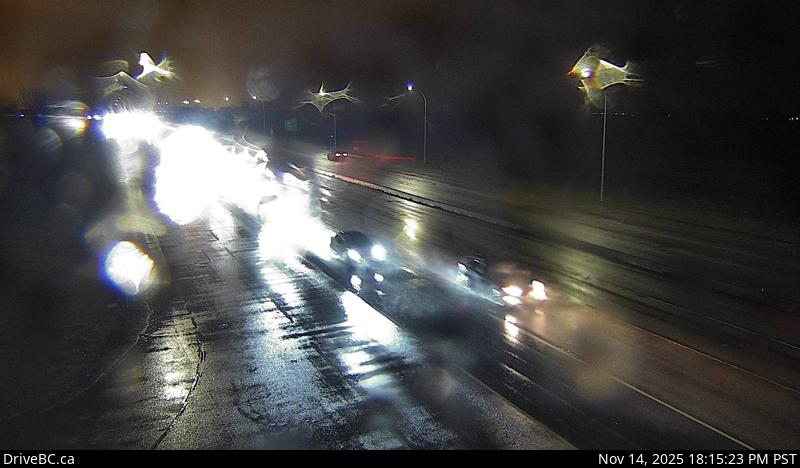 WorkingStill imageHighway 17, Hwy 17 at 56 Street, looking east
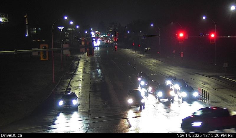 WorkingStill imageHighway 17, Hwy 17 at 56 Street, looking south
 WorkingStill imageHighway 99, Steveston
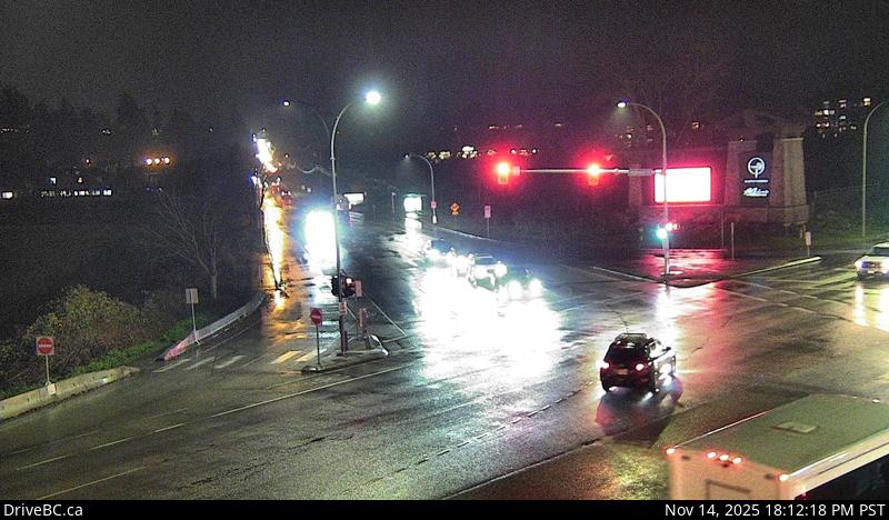 WorkingStill imageHighway 17, Hwy 17 at 52 Street, looking south
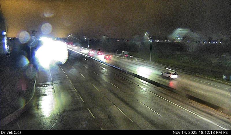 WorkingStill imageHighway 17, Hwy 17 at 52 Street, looking east
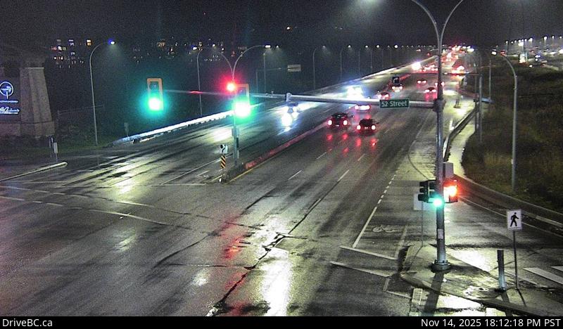 WorkingStill imageHighway 17, Hwy 17 at 52 Street, looking west
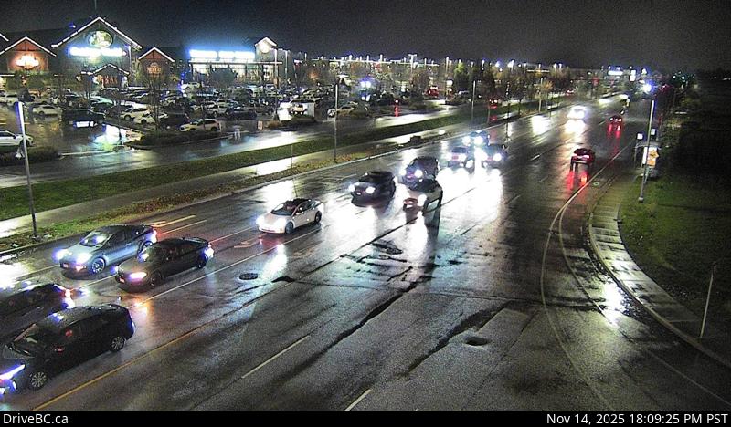 WorkingStill imageHighway 17, Hwy 17 at 52 Street, looking north
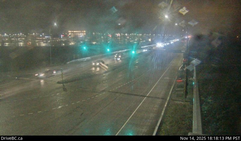 WorkingStill imageHighway 17, Salish Sea Drive, looking east
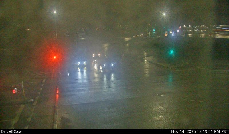 WorkingStill imageHighway 17, Salish Sea Drive, looking north
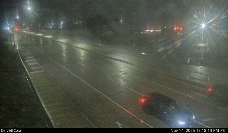 WorkingStill imageHighway 17, Salish Sea Drive, looking west
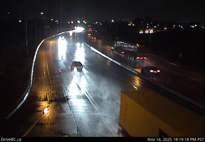 WorkingStill imageHighway 17, Hwy 17 at 80 Street, looking west
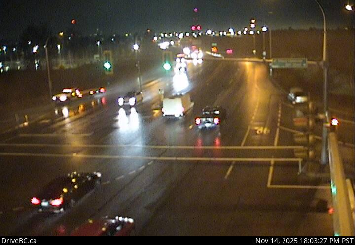 WorkingStill imageHighway 17, Hwy 17 at 80 Street, looking east
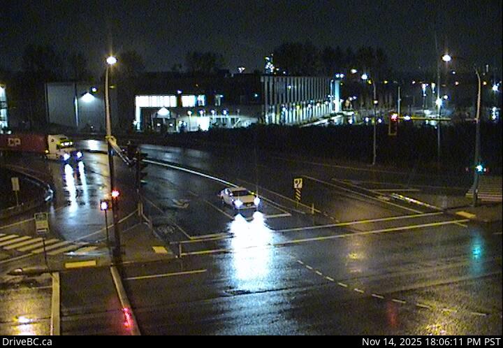 WorkingStill imageHighway 17, Hwy 17 at 80 Street, looking north
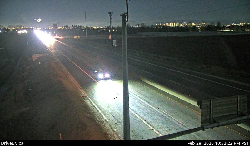 WorkingStill imageHighway 99, Blundell, looking north
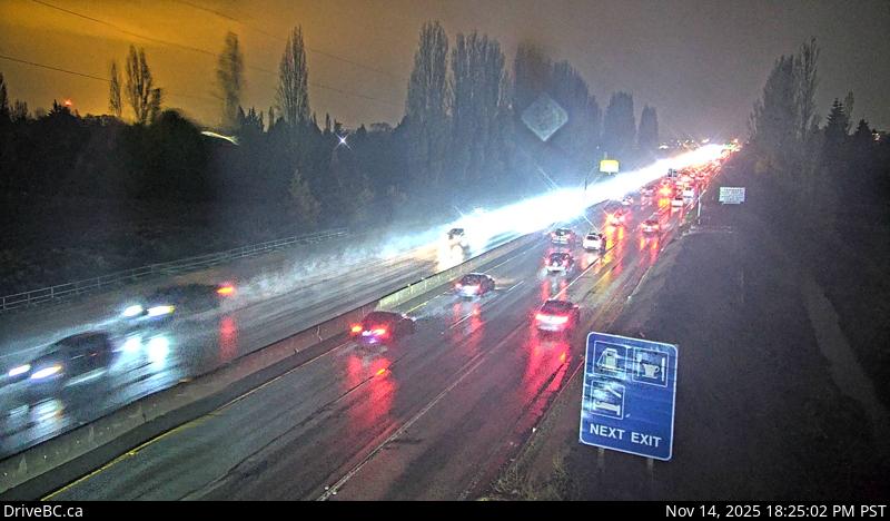 WorkingStill imageHighway 99, Blundell, looking south
 WorkingStill imageHighway 99, Hwy 99 at Westminster Highway, looking south
 WorkingStill imageHighway 99, Hwy 99 at Westminster Highway, looking north
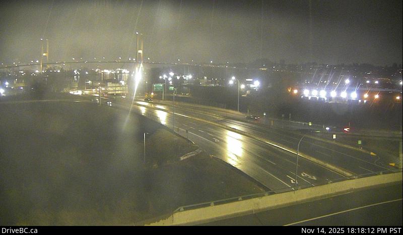 WorkingStill imageHighway 17, Hwy 17 at Hwy 91 Connector, looking east
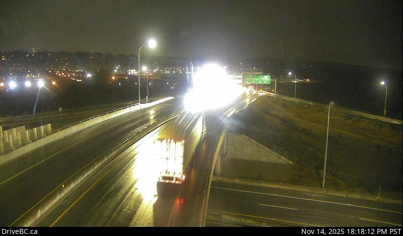 WorkingStill imageHighway 17, Hwy 17 at Hwy 91 Connector, looking north
 WorkingStill imageHighway 17, Hwy 17 at Hwy 91 Connector, looking south
 WorkingStill imageHighway 17, Hwy 17 at Hwy 91 Connector, looking west
 WorkingStill imageHighway 91, Hwy 91 at No.6 Road, looking east
 WorkingStill imageHighway 91, Hwy 91 at No.6 Road, looking west
 WorkingStill imageHighway 91, Hwy 91 at No.8 Road, looking east
 WorkingStill imageHighway 91, Hwy 91 at No.8 Road, looking west
 WorkingStill imageHighway 91, Hwy 91 at Fraserwood Way, looking east
 WorkingStill imageHighway 91, Hwy 91 at Fraserwood Way, looking west
 WorkingStill imageHighway 91, Hwy 91 Connector at Nordel Way, looking east
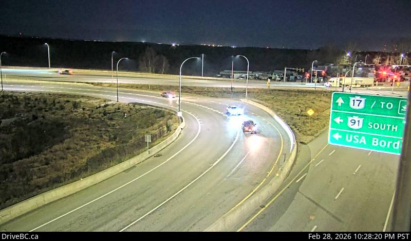 WorkingStill imageHighway 91, Hwy 91 Connector at Nordel Way, looking west
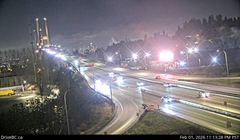 WorkingStill imageHighway 91, Hwy 91 Connector at Nordel Way, looking north
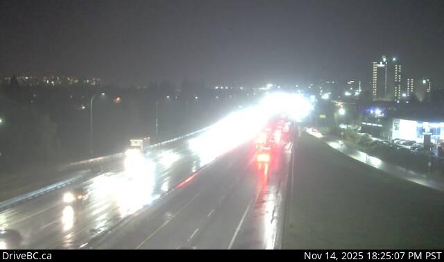 WorkingStill imageHighway 99, Hwy 99 at Shell Road
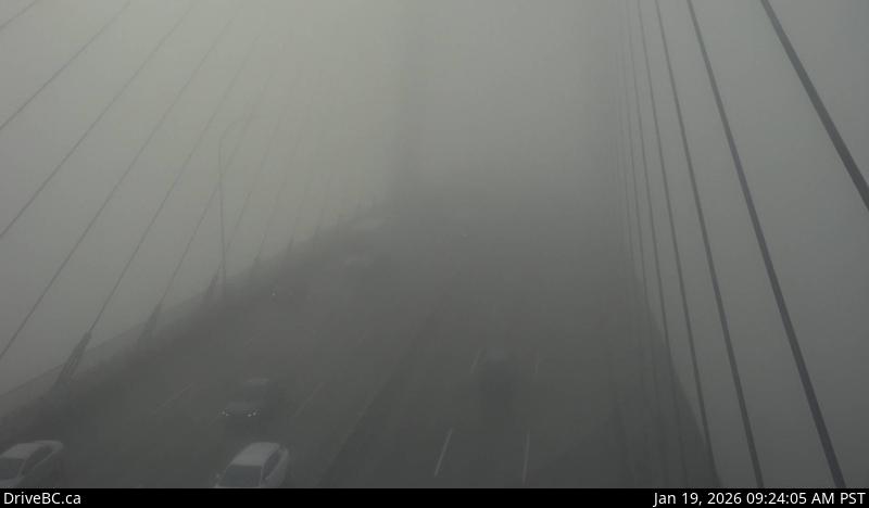 WorkingStill imageHighway 91, Alex Fraser Bridge, looking south
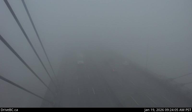 WorkingStill imageHighway 91, Alex Fraser Bridge, looking north
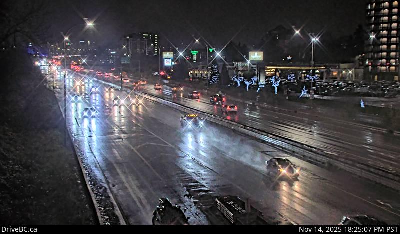 WorkingStill imageHighway 99, Hwy 99 at Cambie, looking north
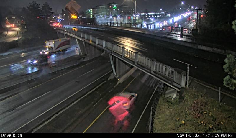 WorkingStill imageHighway 99, Hwy 99 at Cambie, looking south
 WorkingStill imageKnight Street Bridge southend, looking north
 WorkingStill imageKnight Street Bridge southend, looking south
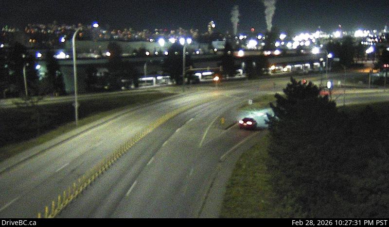 WorkingStill imageHighway 91, Annacis Island, looking east
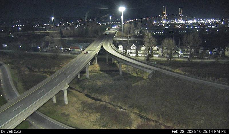 WorkingStill imageHighway 91, Alex Fraser Bridge Southbound
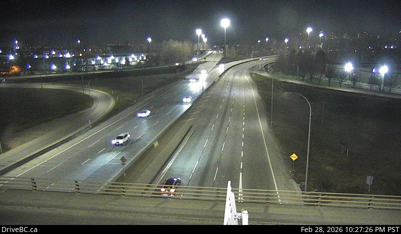 WorkingStill imageHighway 91, Annacis Island, looking north
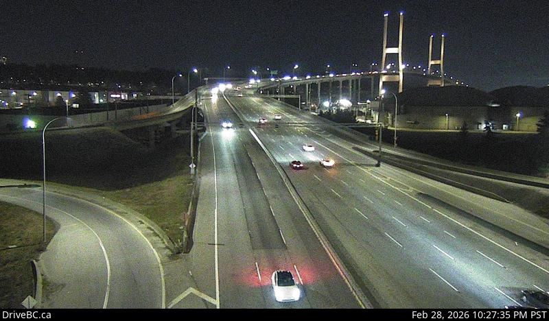 WorkingStill imageHighway 91, Annacis Island, looking south
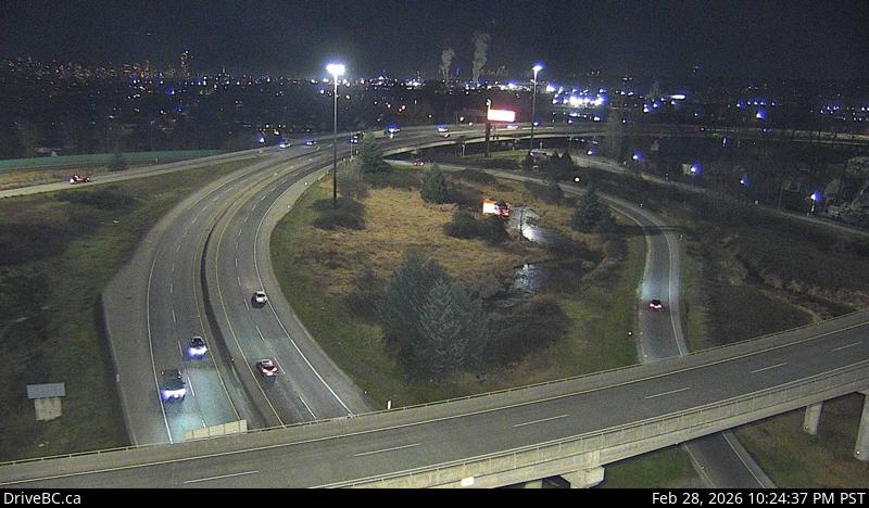 WorkingStill imageHighway 91, Annacis Channel Bridge Approach
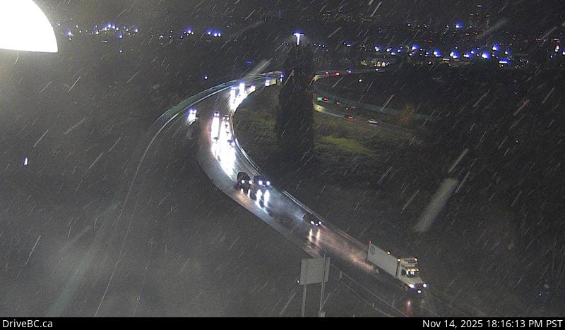 WorkingStill imageHighway 91A, Queensborough Connector
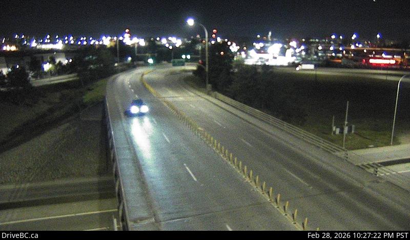 WorkingStill imageHighway 91, Annacis Island, looking west
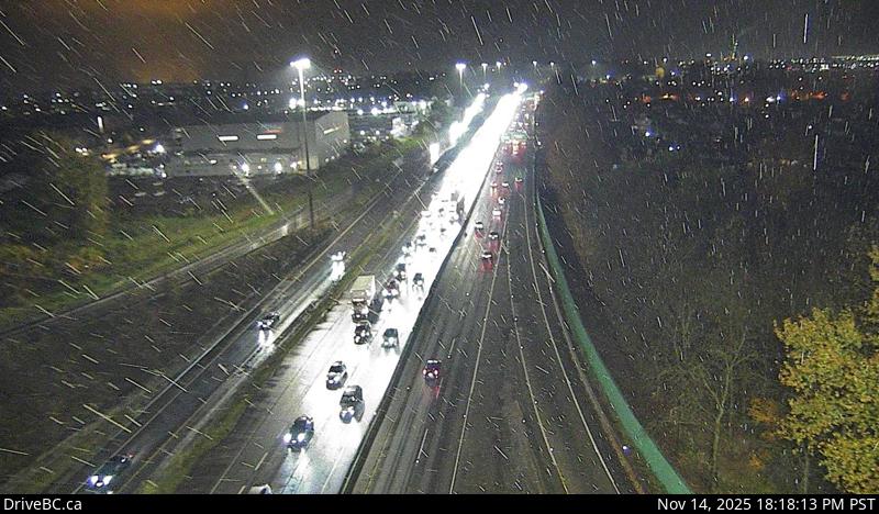 WorkingStill imageHighway 91, Hwy 91 East-West Connector, looking west
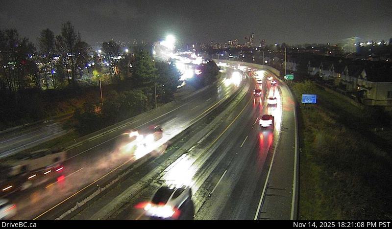 WorkingStill imageHighway 91A, Hwy 91A at Boundary Road, looking east
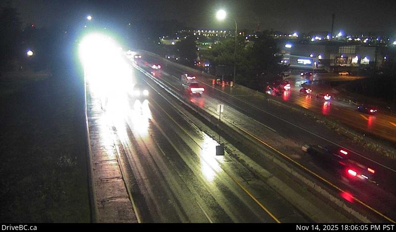 WorkingStill imageHighway 91A, Hwy 91A at Boundary Road, looking west
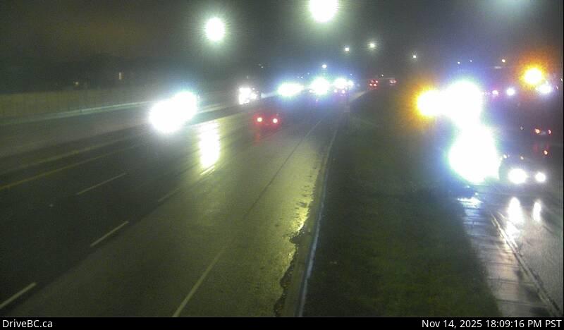 WorkingStill imageHighway 91A, Howes Street, looking west
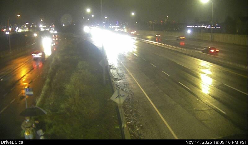 WorkingStill imageHighway 91A, Howes Street, looking east
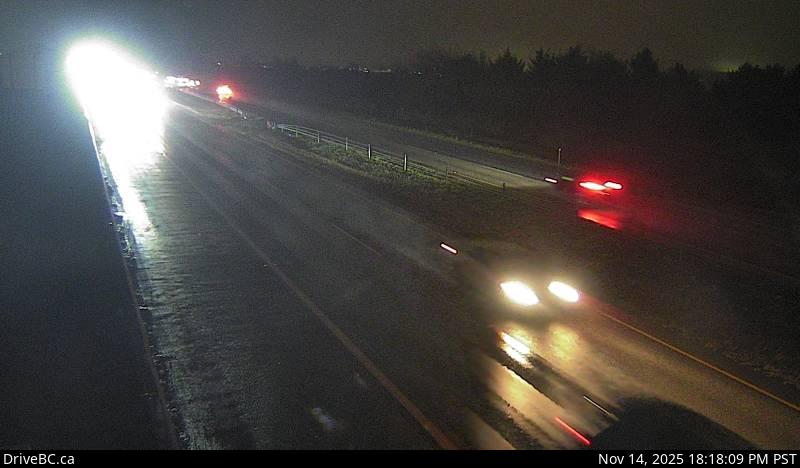 WorkingStill imageHighway 99, Hwy 99 at Mud Bay, looking east
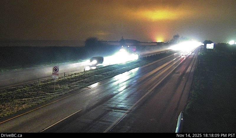 WorkingStill imageHighway 99, Hwy 99 at Mud Bay, looking west
 WorkingStill imageKnight Street Bridge northend, looking north
 WorkingStill imageKnight Street Bridge northend, looking south
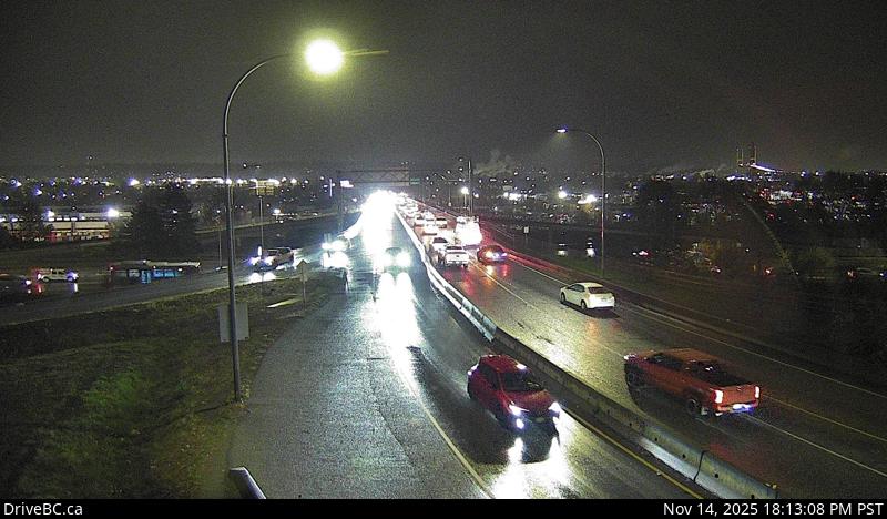 WorkingStill imageHighway 91A, Hwy 91A at Queensborough Bridge, looking south
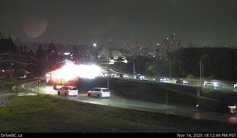 WorkingStill imageHighway 91A, Hwy 91A at Queensborough Bridge, looking east
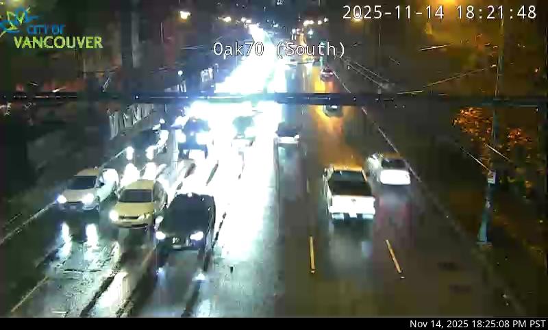 WorkingStill imageHighway 99, Oak Street at 70 Avenue, looking south
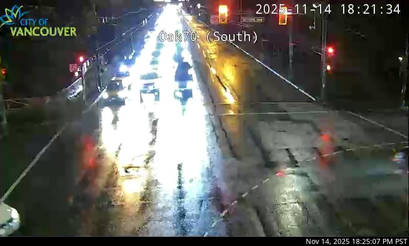 WorkingStill imageHighway 99, Oak Street at 70 Avenue, looking north
 OfflineStill imageHighway 91, Hwy 91 at 72 Avenue, looking east
 OfflineStill imageHighway 91, Hwy 91 at 72 Avenue, looking north
 OfflineStill imageHighway 91, Hwy 91 at 72 Avenue, looking south
No live video among these cameras. Turn off "Live video only" to see them all.
Best cams to watch
- Highway 17A, Ladner, looking west — Still image · every 14 min, working 100 % of the time in the last 30 days.
- Highway 17A, Ladner, looking north — Still image · every 14 min, working 100 % of the time in the last 30 days.
- Highway 17A, Ladner, looking east — Still image · every 14 min, working 100 % of the time in the last 30 days.
Delta lies on the flat lands of the Fraser River delta, south of Vancouver and Richmond, between the river's south arm, Boundary Bay and the Strait of Georgia. It is really three communities joined by farmland and wetland: suburban North Delta, the old fishing village of Ladner, and Tsawwassen near the ferry terminal and the tip of the Point Roberts peninsula. Together they had about 108,000 residents in 2021. Much of the land is farmland, and Burns Bog, a raised peat bog of about forty square kilometers, is one of the largest undeveloped urban wetlands in the region. Delta is drier than downtown Vancouver, with noticeably less rain in a typical year.
The cameras
Delta's views are supplied by DriveBC, British Columbia's highway information service, as still images updated every few minutes. Delta is a crossroads for regional traffic, and the cameras reflect that. They look along Highway 99, which runs through the George Massey Tunnel under the Fraser River toward Richmond and Vancouver; Highway 17, the route to the Tsawwassen ferry terminal and the port at Roberts Bank; and Highway 91, which crosses the river on the Alex Fraser Bridge. The tunnel approaches are among the busiest and most closely watched spots in the Lower Mainland.
Delta is on Pacific Time. Northbound traffic toward the tunnel builds early on weekday mornings, and southbound backups are common in the late afternoon. Ferry sailings add their own waves of traffic on Highway 17, especially on summer Fridays and holiday weekends. Fog sometimes settles over the delta in autumn and winter, and the open fields leave the highways exposed to wind and the occasional snowfall.
- Morning peak: northbound toward the tunnel
- Afternoon peak: southbound and toward the ferries
- Fog: mostly late autumn mornings
Nearby, Boundary Bay Regional Park is known for birdwatching, especially in winter when snow geese and raptors gather on the flats, and the Reifel Migratory Bird Sanctuary is just west of Ladner on Westham Island.
Sources: Delta, British Columbia - Wikipedia · DriveBC - British Columbia highway cameras · George Massey Tunnel - Wikipedia.
Nearby places
- Surrey (212)
- Fleetwood (126)
- Vancouver (120)
- New Westminster (111)
- Langley (107)
- Burnaby (102)
- Maple Ridge (76)
- Richmond (76)
Questions about Delta
How many cameras does LiveLocation have in Delta?
LiveLocation lists 81 cameras in and around Delta, Canada: 0 live video, 81 still images. 78 of them were live or showing a fresh image at the last check.
Where do the Delta cameras come from?
All of them come from DriveBC (81). Each camera plays straight from the agency or owner that runs it, with credit. DriveBC
What kinds of views are there in Delta?
The views are traffic and highway (71) and bridge (10). Good ones to start with: Highway 17A, Ladner, looking west and Highway 17A, Ladner, looking north. Highway 17A, Ladner, looking west Highway 17A, Ladner, looking north
Is there live video from Delta?
Not yet: the cameras here send still images that refresh about every 13 minutes. The map can show only live-video cameras nearby. Live video on the map
When is the best time to watch the Delta cameras?
Delta is on America/Vancouver time. On October 7 the sun rises at 7:21 AM and sets at 6:38 PM, so still images are clearest between those times. Road cameras show the most traffic in the weekday morning and evening rush hours.
Are there live cameras near Delta?
The nearest are Richmond (11 km away, 76 cameras), Strawberry Hill (13 km away, 39 cameras) and Victoria-Fraserview (14 km away, 24 cameras). Richmond Strawberry Hill Victoria-Fraserview
Is there a map of the cameras in Delta?
The map at the top of this page shows all 81 of them. The live camera radar centers on Delta and lists every camera within 5 to 250 km, nearest first, with filters for live video, traffic, nature and more. Open the radar on Delta
Place names and locations: GeoNames, licensed under CC BY 4.0.