Live cameras in Langley, Canada
119 cameras: 0 live video, 119 still images · 107 working now · updated Oct 8, 03:31 UTC
Langley has 119 live cameras on LiveLocation right now: 0 live video, 119 still images. Good places to start: Highway 10, Hwy 10 at 200 Street, looking east, Highway 10, Hwy 10 at 200 Street, looking west, Highway 10, Hwy 10 at 200 Street, looking south. Local time is 8:31 PM (America/Vancouver). Today the sun rises at 7:19 AM and sets at 6:36 PM.
Langley live cameras
Watch Langley live webcams: 0 live video, 119 still images. 107 of them were live or fresh at the last check. Langley is home to about 133,000 people.
Weather now in Langley: 11 °C (52 °F), fog, wind 5 km/h (3 mph) from the south. Forecast for 9 PM local time. Weather: MET Norway (CC BY 4.0)
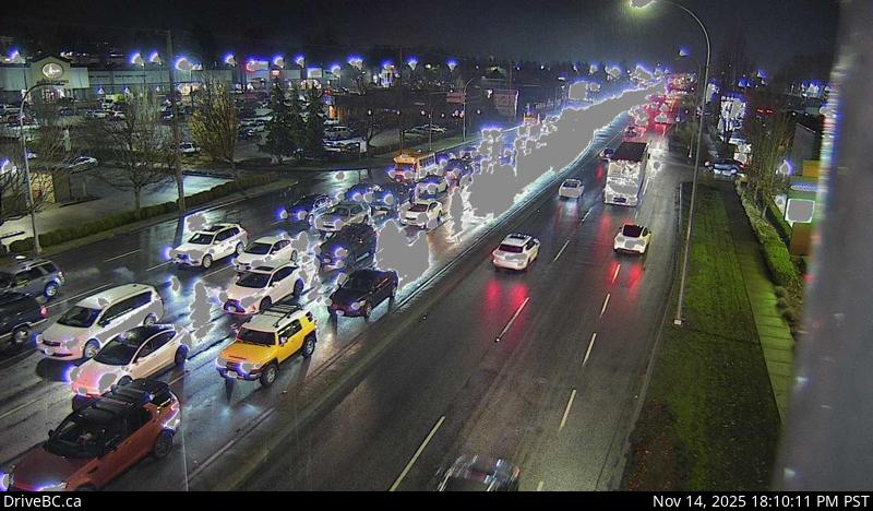 WorkingStill imageHighway 10, Hwy 10 at 200 Street, looking east
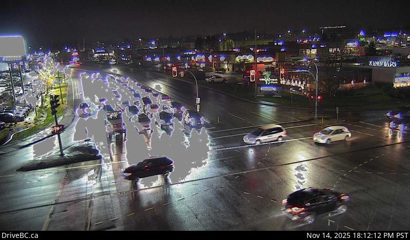 WorkingStill imageHighway 10, Hwy 10 at 200 Street, looking west
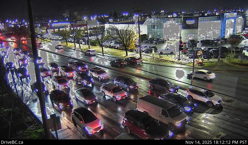 WorkingStill imageHighway 10, Hwy 10 at 200 Street, looking south
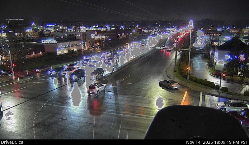 WorkingStill imageHighway 10, Hwy 10 at 200 Street, looking north
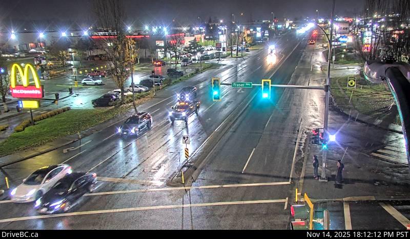 WorkingStill imageHighway 10, Hwy 10 at Fraser Highway, looking southwest
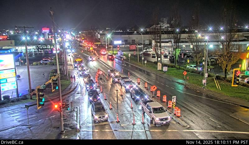 WorkingStill imageHighway 10, Hwy 10 at Fraser Highway, looking southeast
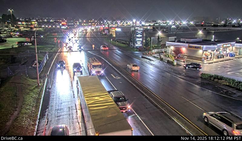 WorkingStill imageHighway 10, Hwy 10 at Fraser Highway, looking northeast
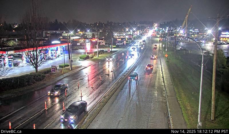 WorkingStill imageHighway 10, Hwy 10 at Fraser Highway, looking northwest
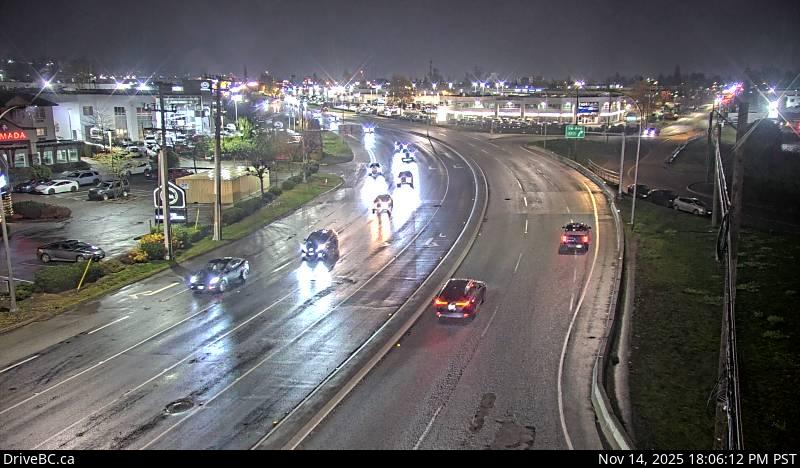 WorkingStill imageHighway 10, Hwy 10 at 192 Street, looking east
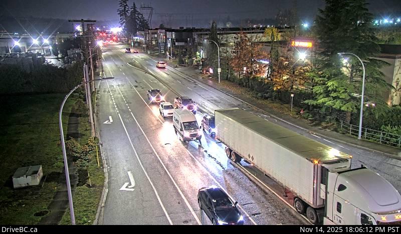 WorkingStill imageHighway 10, Hwy 10 at 192 Street, looking south
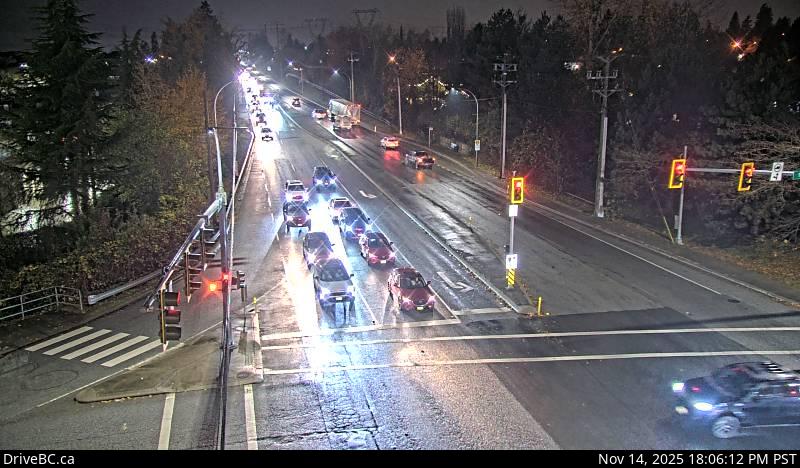 WorkingStill imageHighway 10, Hwy 10 at 192 Street, looking west
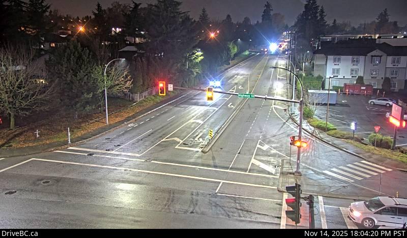 WorkingStill imageHighway 10, Hwy 10 at 192 Street, looking north
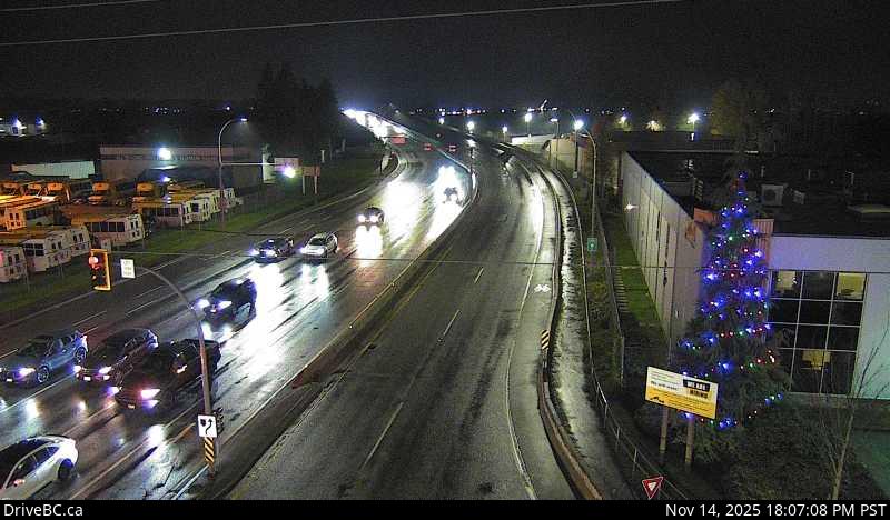 WorkingStill imageHighway 15, Hwy 15 at Hwy 10, looking south
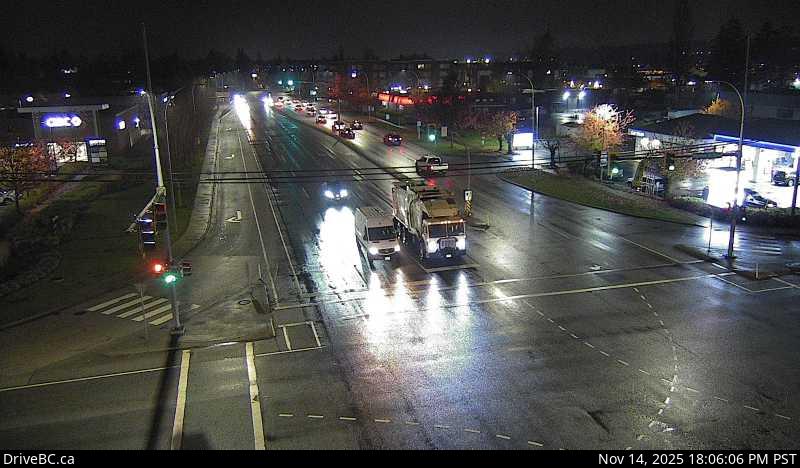 WorkingStill imageHighway 15, Hwy 15 at Hwy 10, looking north
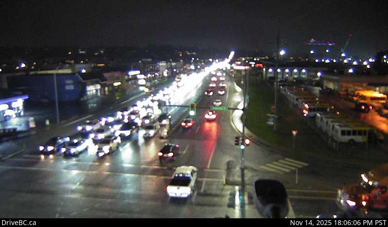 WorkingStill imageHighway 15, Hwy 15 at Hwy 10, looking east
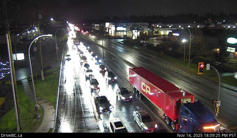 WorkingStill imageHighway 15, Hwy 15 at Hwy 10, looking west
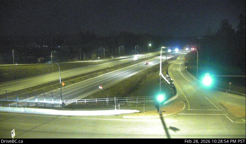 WorkingStill imageHighway 1, Hwy 1 at 216 Street, looking east
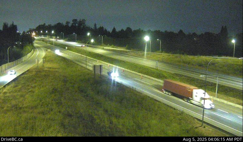 WorkingStill imageHighway 1, Hwy 1 at 216 Street, looking west
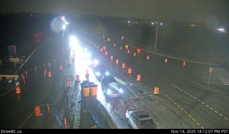 WorkingStill imageHighway 15, Hwy 15 at Fraser Highway, looking northwest
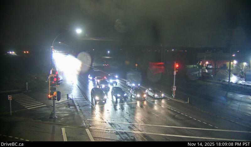 WorkingStill imageHighway 15, Hwy 15 at Fraser Highway, looking north
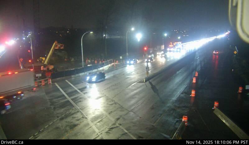 WorkingStill imageHighway 15, Hwy 15 at Fraser Highway, looking south
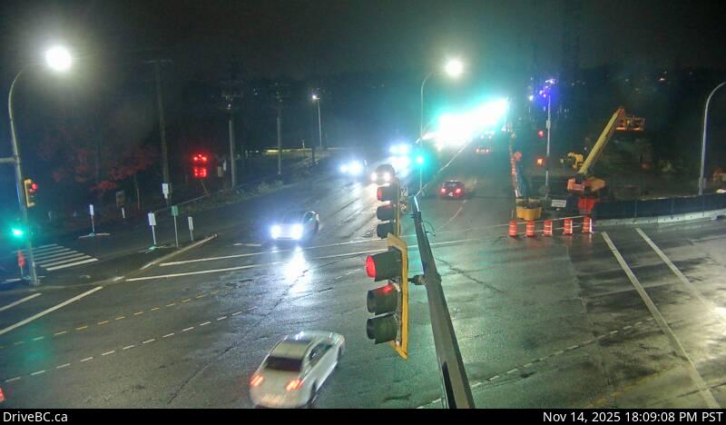 WorkingStill imageHighway 15, Hwy 15 at Fraser Highway, looking southeast
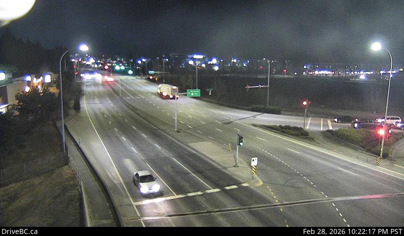 WorkingStill imageHighway 1, Hwy 1 at 200 Street, looking north
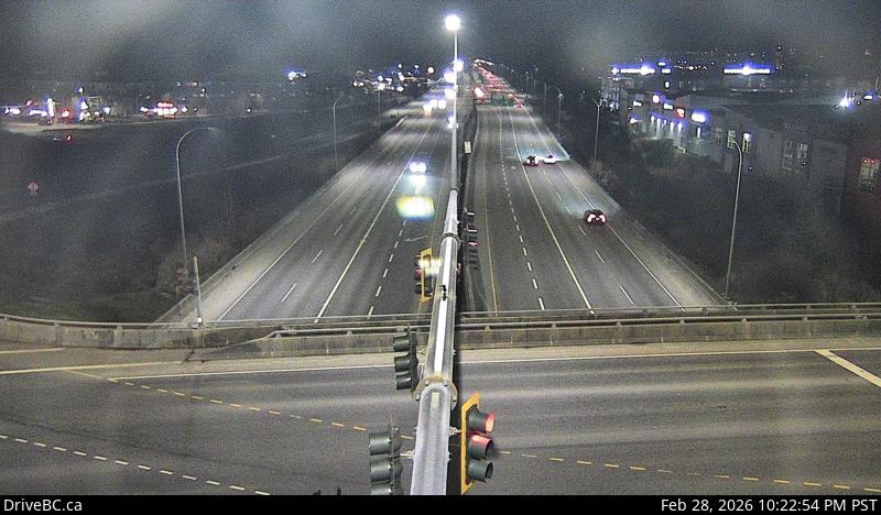 WorkingStill imageHighway 1, Hwy 1 at 200 Street, looking east
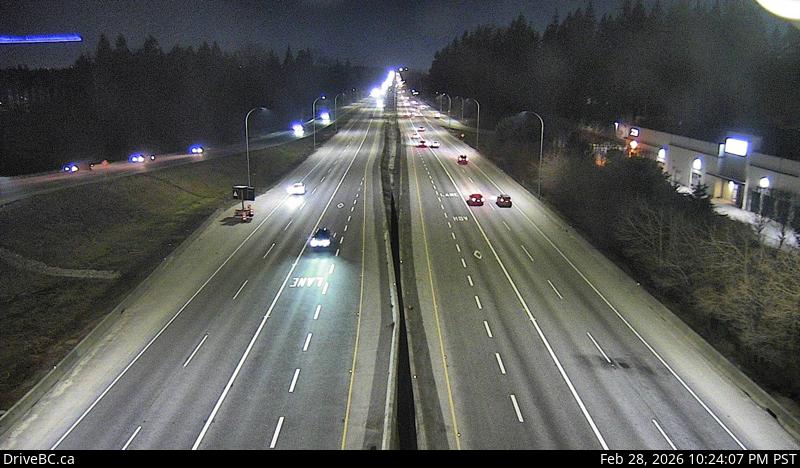 WorkingStill imageHighway 1, Hwy 1 at 200 Street, looking west
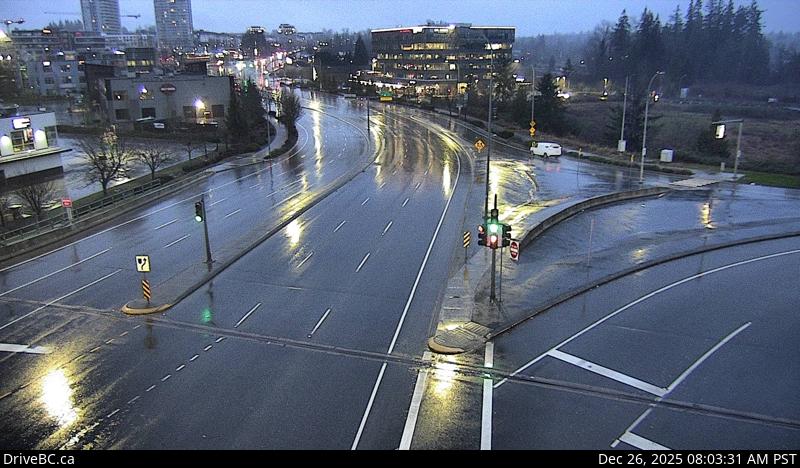 WorkingStill imageHighway 1, Hwy 1 at 200 Street, looking south
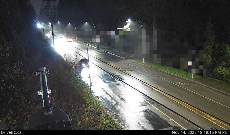 WorkingStill imageHighway 15, Hwy 15 at 24 Avenue, looking west
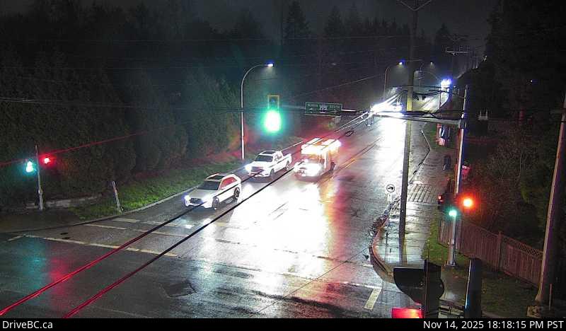 WorkingStill imageHighway 15, Hwy 15 at 24 Avenue, looking east
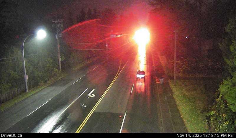 WorkingStill imageHighway 15, Hwy 15 at 24 Avenue, looking south
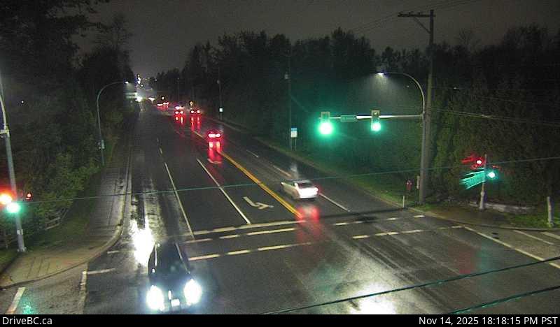 WorkingStill imageHighway 15, Hwy 15 at 24 Avenue, looking north
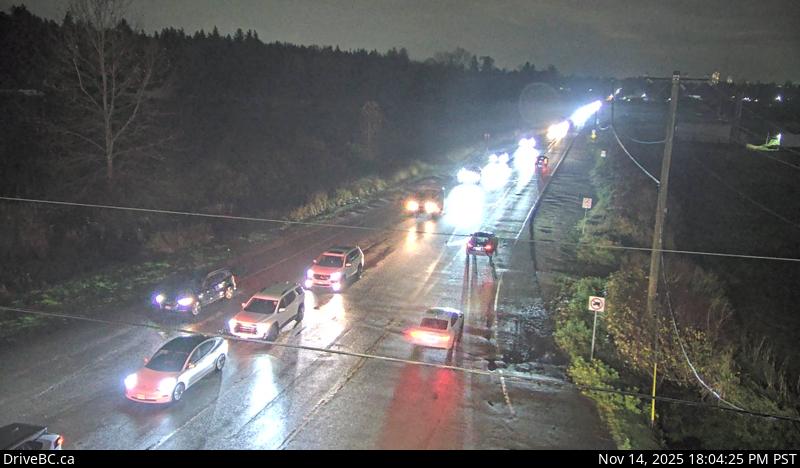 WorkingStill imageHighway 15, Hwy 15 at 88 Avenue, looking east
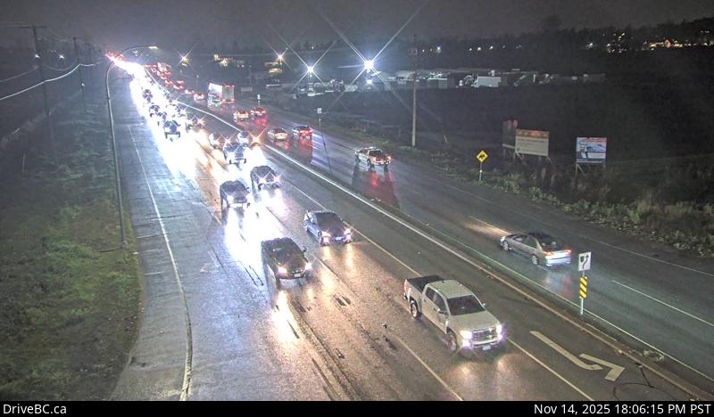 WorkingStill imageHighway 15, Hwy 15 at 88 Avenue, looking south
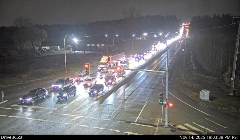 WorkingStill imageHighway 15, Hwy 15 at 88 Avenue, looking north
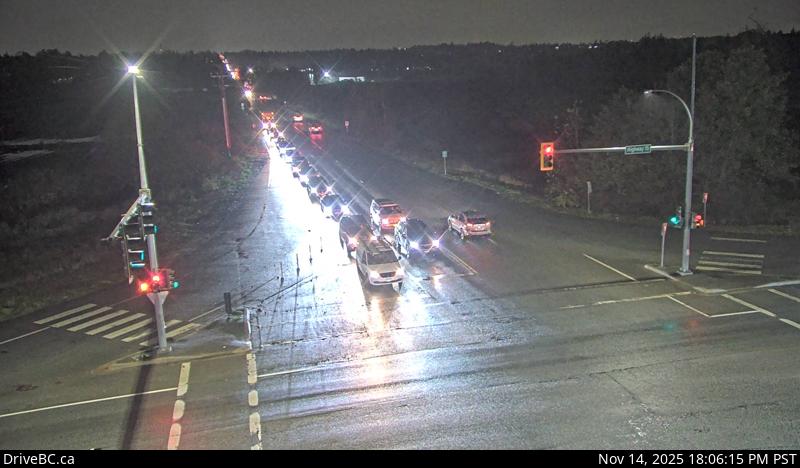 WorkingStill imageHighway 15, Hwy 15 at 88 Avenue, looking west
 WorkingStill imageGolden Ears Way at 199A Avenue and 200 Street
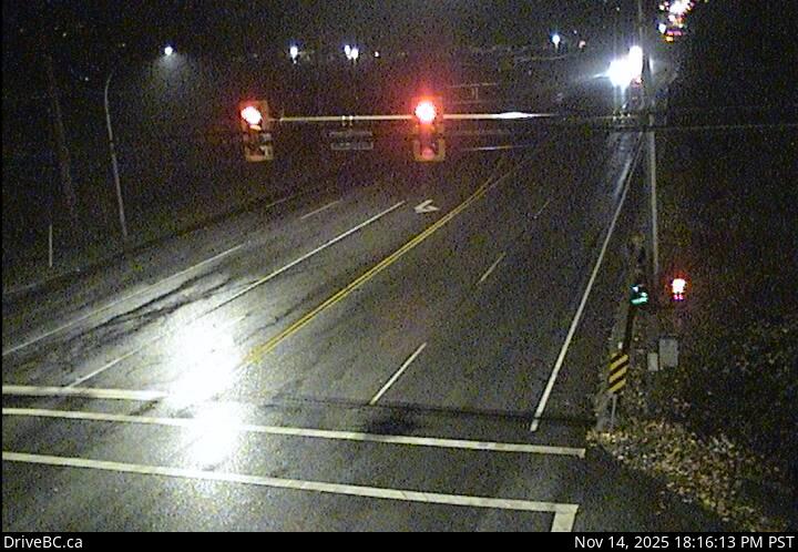 WorkingStill imageHighway 15, Hwy 15 at 16 Avenue, looking south
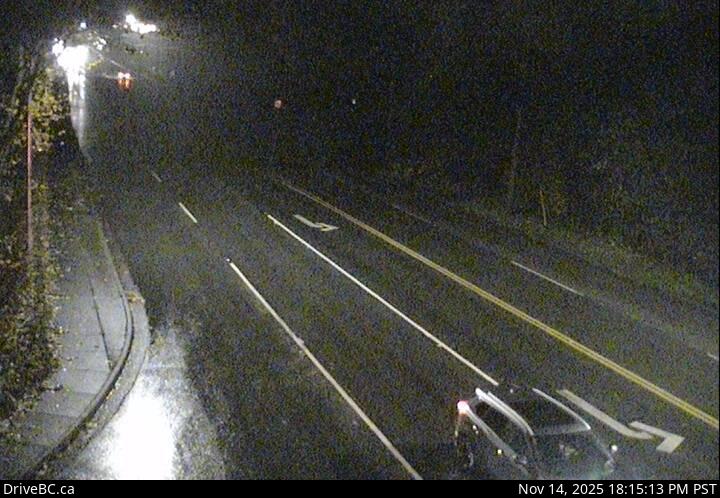 WorkingStill imageHighway 15, Hwy 15 at 16 Avenue, looking north
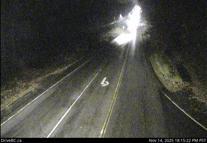 WorkingStill imageHighway 15, Hwy 15 at 16 Avenue, looking west
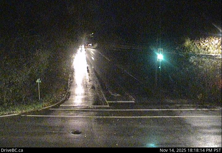 WorkingStill imageHighway 15, Hwy 15 at 16 Avenue, looking east
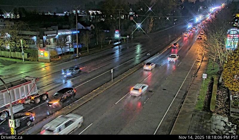 WorkingStill imageHighway 10, Hwy 10 at 152 Street, looking west
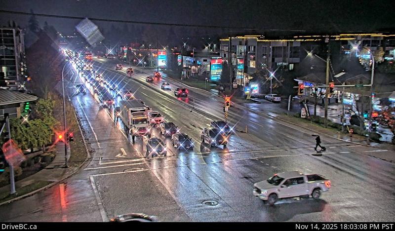 WorkingStill imageHighway 10, Hwy 10 at 152 Street, looking east
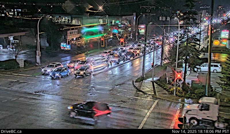 WorkingStill imageHighway 10, Hwy 10 at 152 Street, looking south
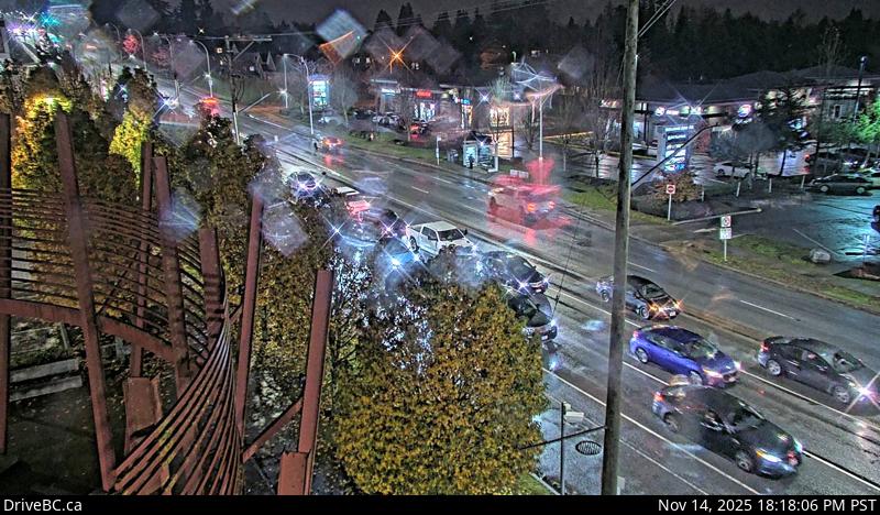 WorkingStill imageHighway 10, Hwy 10 at 152 Street, looking north
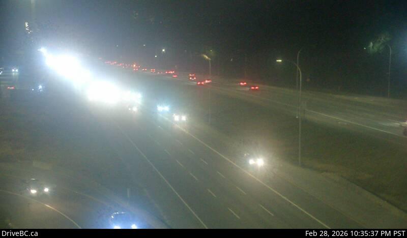 WorkingStill imageHighway 1, Hwy 1 at 176 Street, looking east
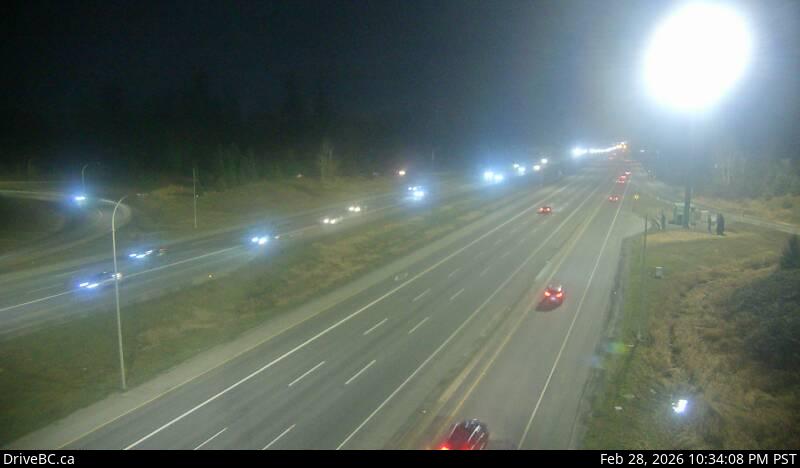 WorkingStill imageHighway 1, Hwy 1 at 176 Street, looking west
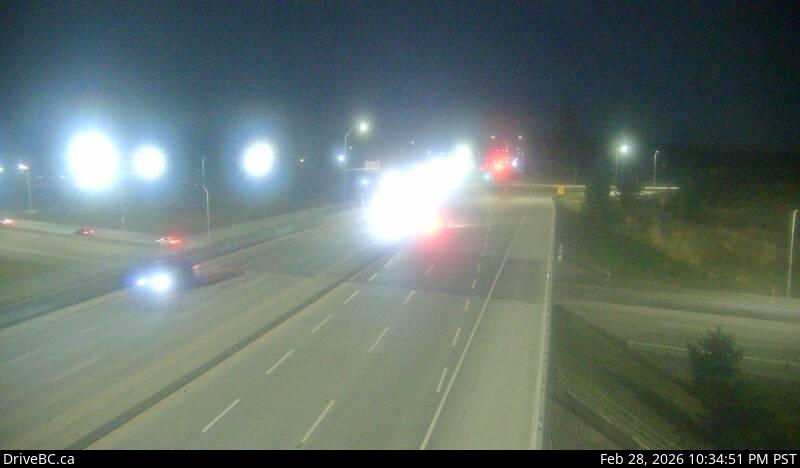 WorkingStill imageHighway 1, Hwy 1 at 176 Street, looking south
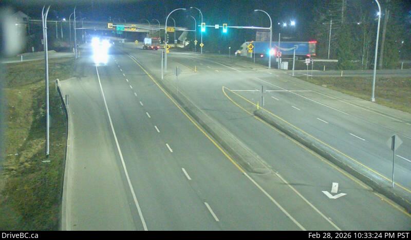 WorkingStill imageHighway 1, Hwy 1 at 176 Street, looking north
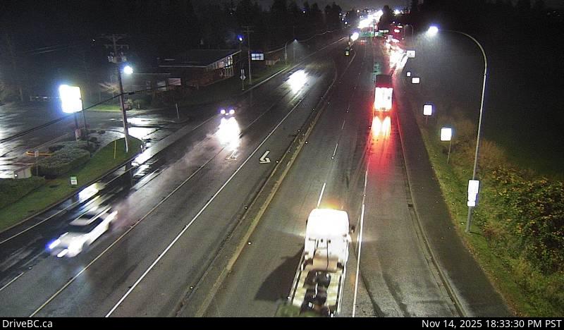 WorkingStill imageHighway 15, Hwy 15 at 8 Avenue, looking south
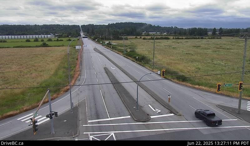 WorkingStill imageHighway 15, Hwy 15 at 8 Avenue, looking north
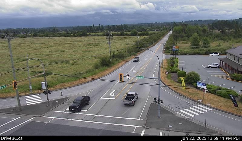 WorkingStill imageHighway 15, Hwy 15 at 8 Avenue, looking east
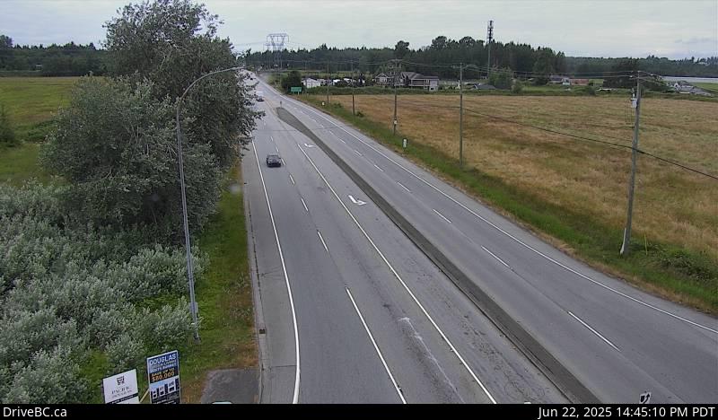 WorkingStill imageHighway 15, Hwy 15 at 8 Avenue, looking west
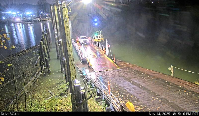
 WorkingStill imageBarnston Island, looking north
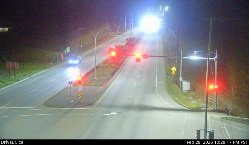
 WorkingStill imageBarnston Island, looking west
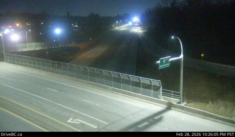
 WorkingStill imageHighway 99, Hwy 99 at 16 Avenue, looking east
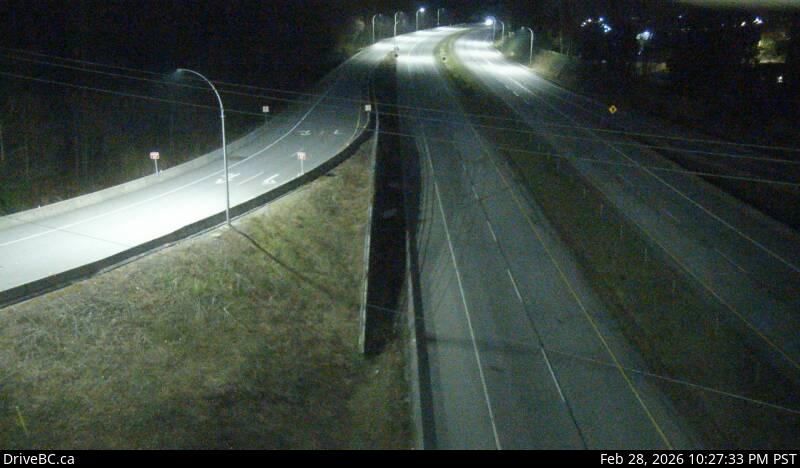
 WorkingStill imageHighway 99, Hwy 99 at 16 Avenue, looking north
 WorkingStill imageHighway 99, Hwy 99 at 16 Avenue, looking south
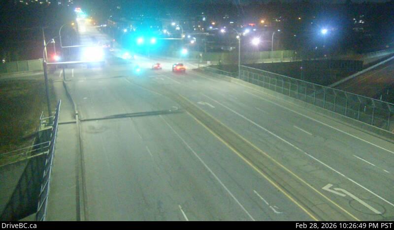 WorkingStill imageHighway 99, Hwy 99 at 16 Avenue, looking west
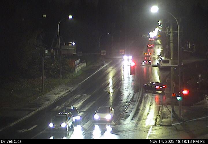 WorkingStill imageHighway 17, 104 Avenue at Hwy 17 westbound
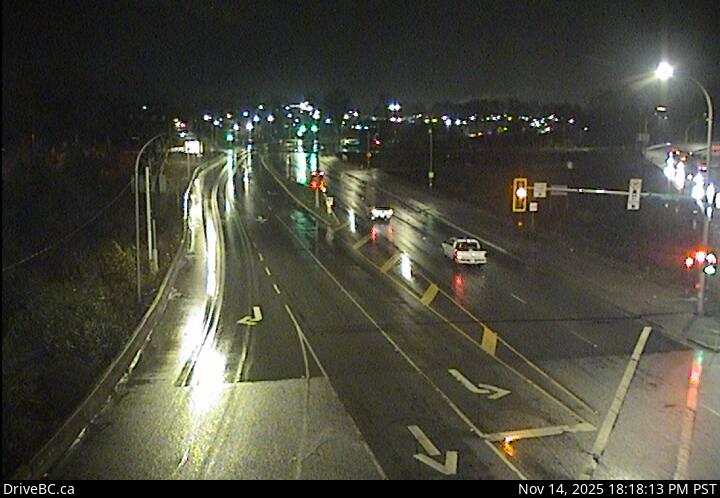 WorkingStill imageHighway 17, 104 Avenue at Hwy 17 eastbound
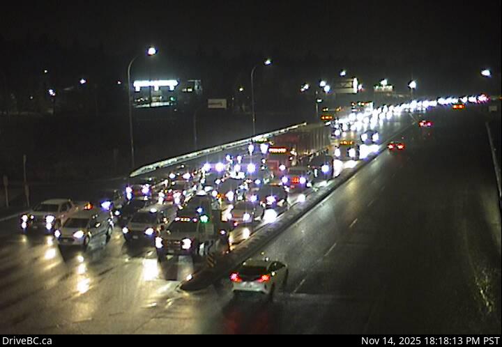 WorkingStill imageHighway 17, Hwy 17 at 104 Avenue eastbound
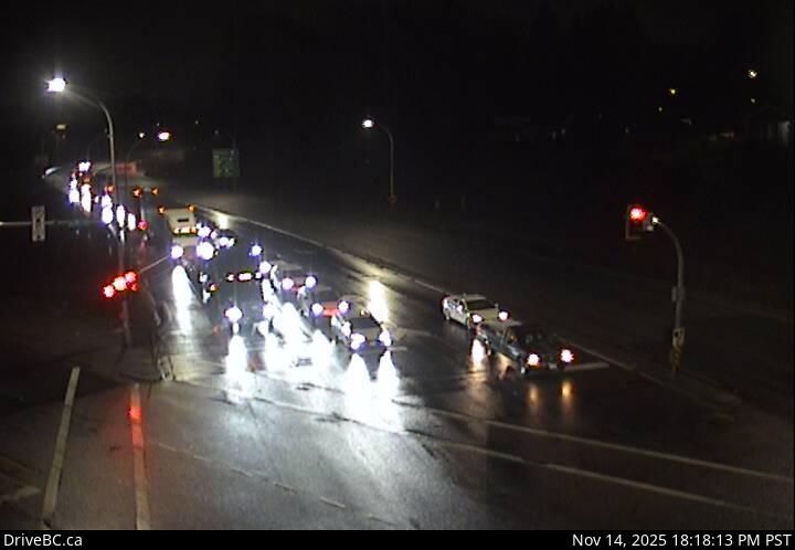 WorkingStill imageHighway 17, Hwy 17 at 104 Avenue southbound
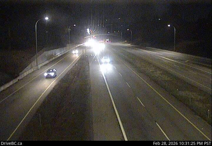 WorkingStill imageHighway 99, Hwy 99 - 32 Avenue Diversion, looking north
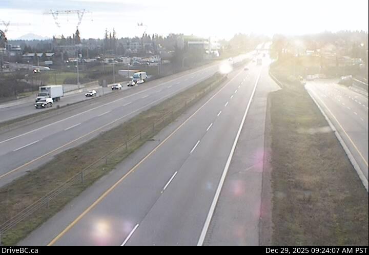 WorkingStill imageHighway 99, Hwy 99 - 32 Avenue Diversion, looking south
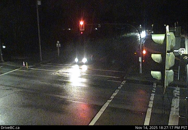 WorkingStill imageHighway 7, Albion, looking south
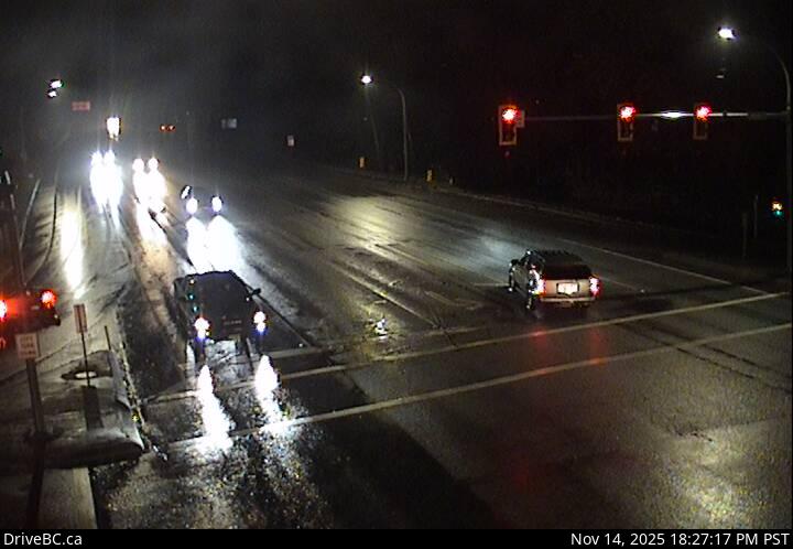 WorkingStill imageHighway 7, Albion, looking east
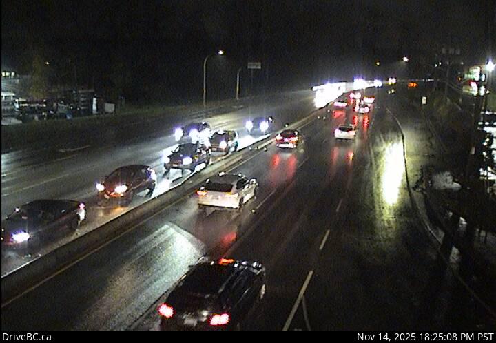 WorkingStill imageHighway 7, Albion, looking west
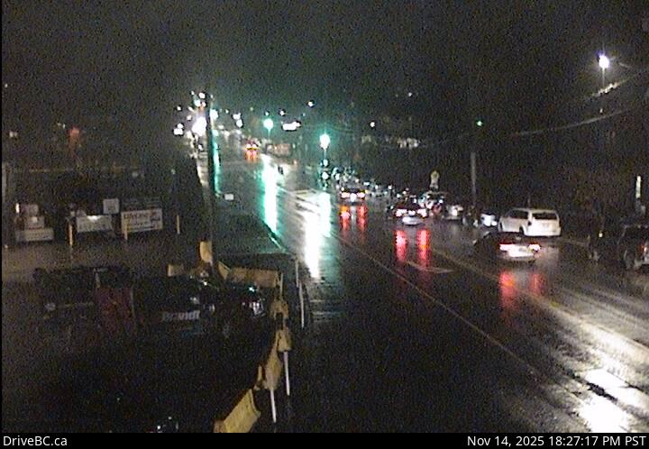 WorkingStill imageHighway 7, Albion, looking north
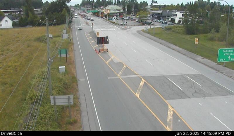 WorkingStill imageHighway 15, Second Avenue, looking south
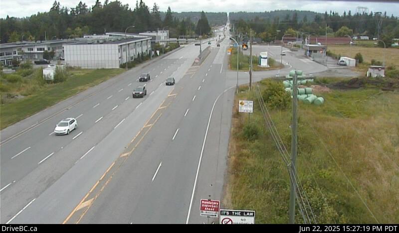 WorkingStill imageHighway 15, Second Avenue, looking north
 WorkingStill imageHighway 1, Hwy 1 at 264 Street, looking north
 WorkingStill imageHighway 1, Hwy 1 at 264 Street, looking south
 WorkingStill imageHighway 1, Hwy 1 at 264 Street, looking west
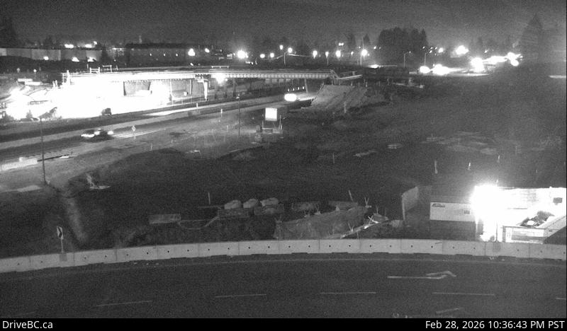 WorkingStill imageHighway 1, Hwy 1 at 264 Street, looking east
 WorkingStill imageHighway 99, Hwy 99 at 8 Avenue, looking north
 WorkingStill imageHighway 99, Hwy 99 at 8 Avenue, looking west
 WorkingStill imageHighway 99, Hwy 99 at 8 Avenue, looking south
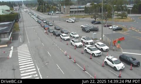 WorkingStill imageHighway 15, Pacific Highway (Truck Crossing) Border Crossing
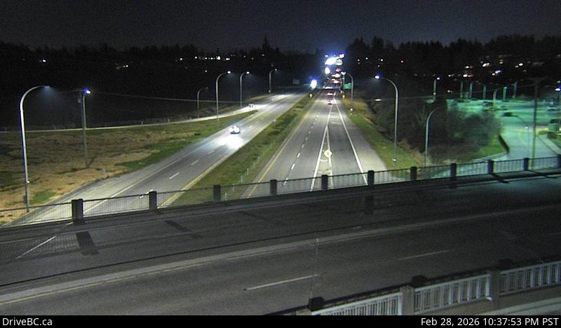 WorkingStill imageHighway 99, Hwy 99 at King George Boulevard, looking south
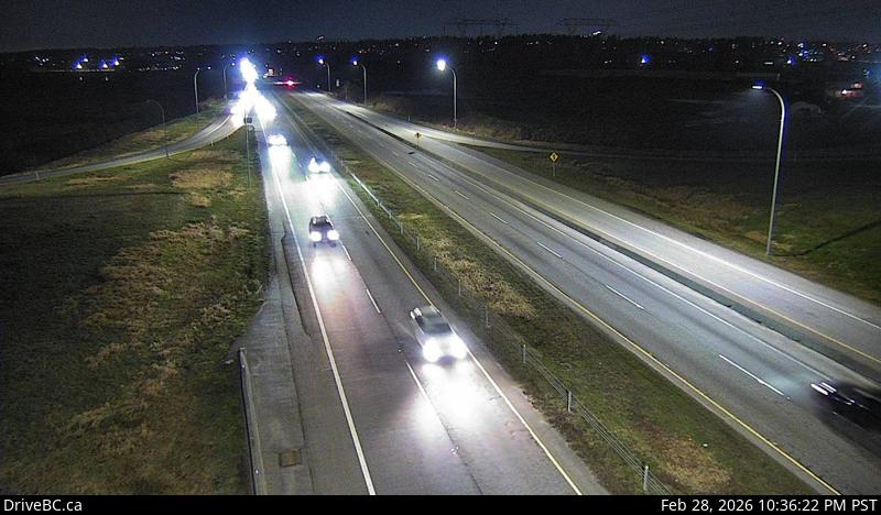 WorkingStill imageHighway 99, Hwy 99 at King George Boulevard, looking north
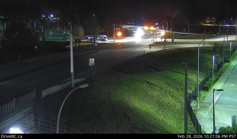 WorkingStill imageHighway 99, Hwy 99 at King George Boulevard, looking west
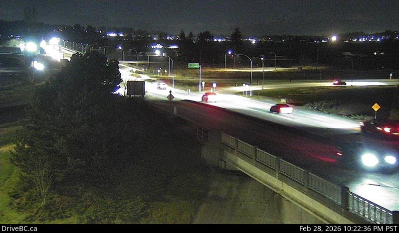 WorkingStill imageHighway 99, Hwy 99 at King George Boulevard, looking east
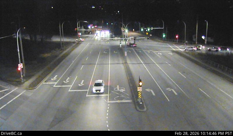 WorkingStill imageHighway 10, Hwy 10 at King George Boulevard, looking south
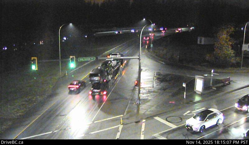 WorkingStill imageHighway 10, Hwy 10 at King George Boulevard, looking west
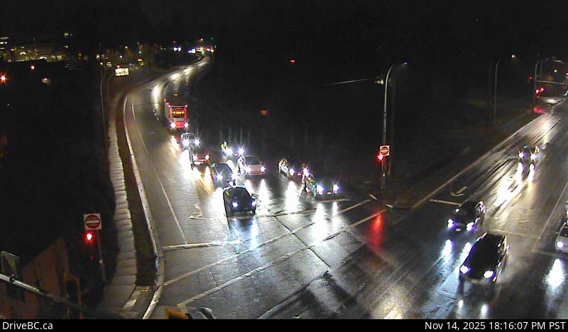 WorkingStill imageHighway 10, Hwy 10 at King George Boulevard, looking east
 WorkingStill imageHighway 10, Hwy 10 at King George Boulevard, looking north
 WorkingStill imageHighway 99, Beach Road, looking south
 WorkingStill imageHighway 99, Beach Road, looking north
 WorkingStill imageHighway 7, Kanaka Way at Lougheed, northbound
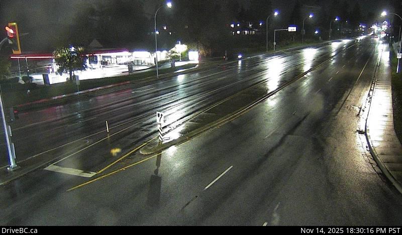 WorkingStill imageHighway 7, Kanaka Way at Lougheed, westbound
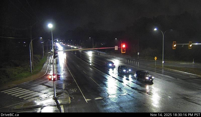 WorkingStill imageHighway 7, Kanaka Way at Lougheed, eastbound
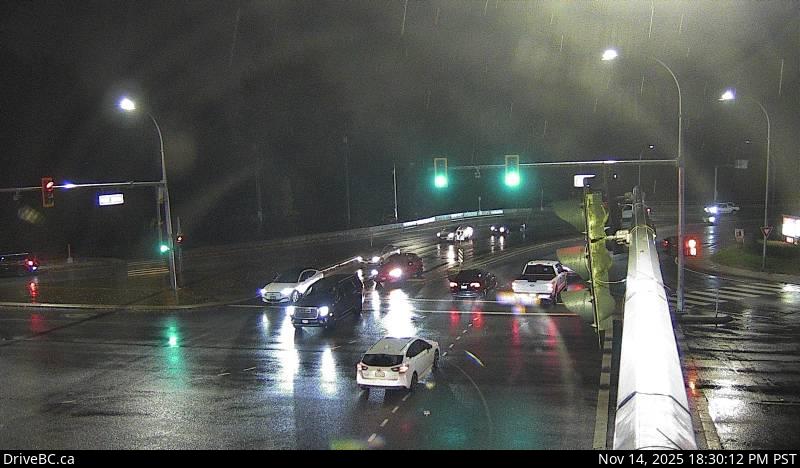 WorkingStill imageHighway 7, Haney Bypass at Lougheed
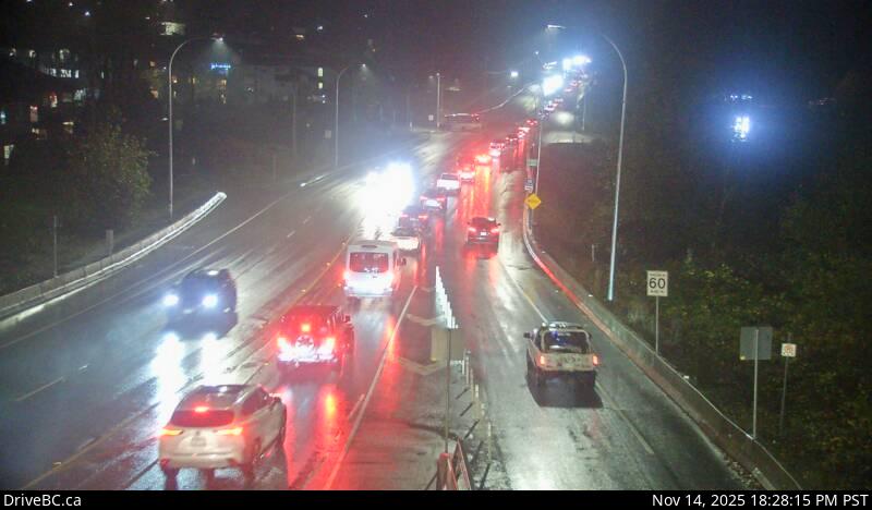 WorkingStill imageHighway 7, Haney Bypass, looking southeast
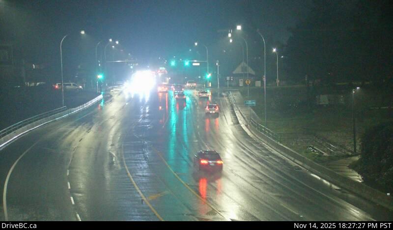 WorkingStill imageHighway 7, Haney Bypass, looking northwest
 WorkingStill imageHighway 99, Douglas (Peace Arch) Border Crossing
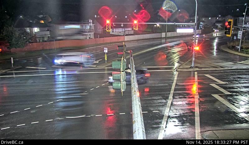 WorkingStill imageHighway 7, Lougheed at Dewdney Trunk Road, looking north
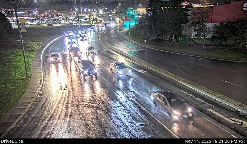 WorkingStill imageHighway 7, Lougheed at Maple Meadows Way, looking south
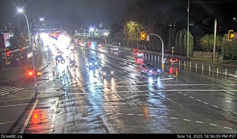 WorkingStill imageHighway 7, Lougheed at Dewdney Trunk Rd, looking west
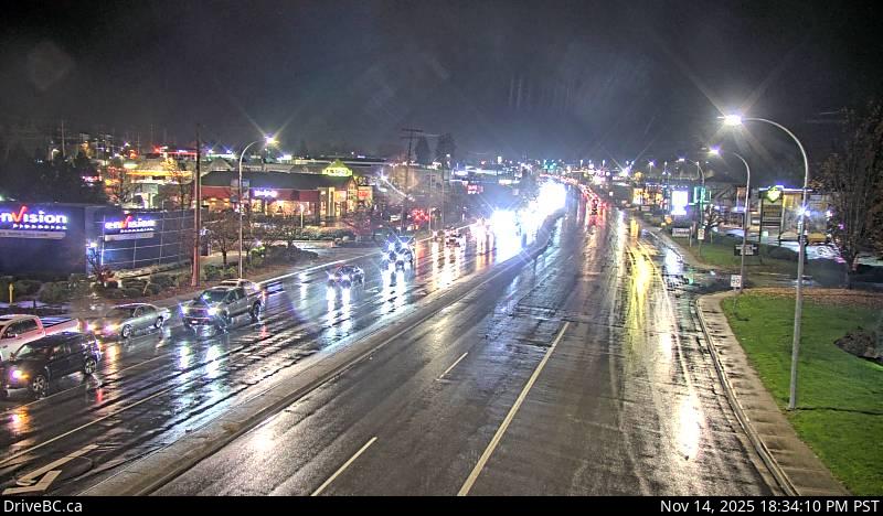 WorkingStill imageHighway 7, Lougheed at Dewdney Trunk Road, looking east
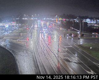 WorkingStill imageGolden Ears Way at Lougheed
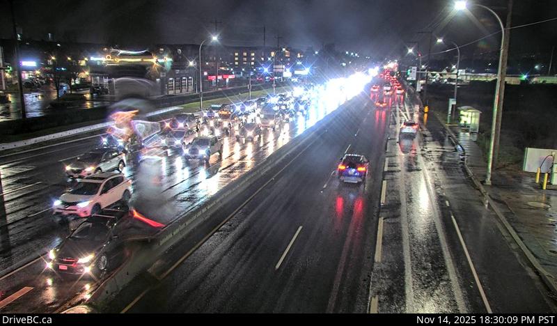 WorkingStill imageHighway 7, Lougheed at Harris Road, looking west
 WorkingStill imageHighway 7, Lougheed at Harris Road, looking north
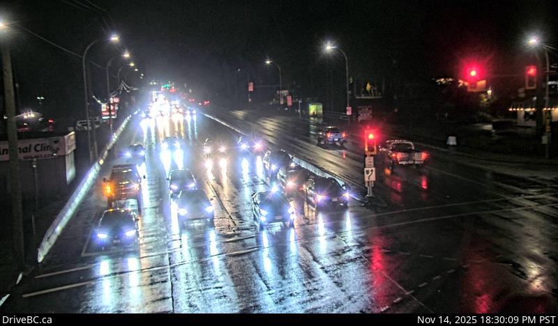 WorkingStill imageHighway 7, Lougheed at Harris Road, looking east
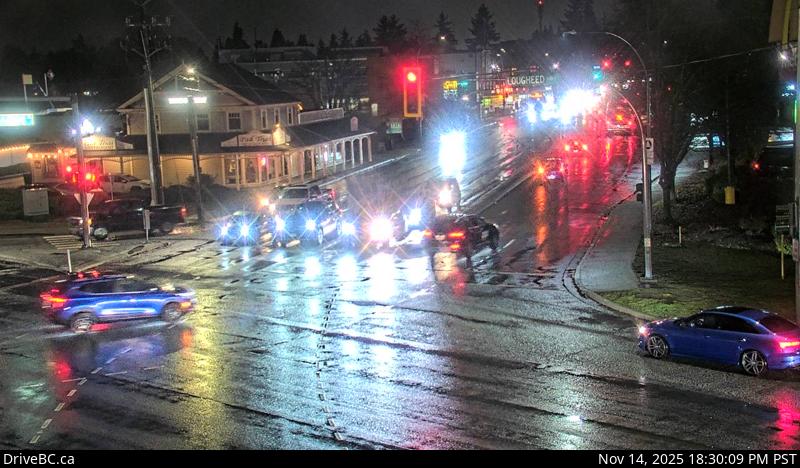 WorkingStill imageHighway 7, Lougheed at Harris Road, looking south
 WorkingStill imageHighway 13, Hwy 13 at 264 Street Diversion, looking south
 WorkingStill imageHighway 13, Hwy 13 at 264 Street Diversion, looking north
 WorkingStill imageHighway 13, Aldergrove Border Crossing, looking north
 WorkingStill imageHighway 13, Aldergrove Border Crossing, looking south
 OfflineStill imageHighway 1, Hwy 1 at 232 Street, looking south
 OfflineStill imageHighway 1, Hwy 1 at 232 Street, looking north
 OfflineStill imageHighway 1, Hwy 1 at 232 Street, looking west
 OfflineStill imageHighway 1, Hwy 1 at 232 Street, looking east
 OfflineStill imageGolden Ears Way at 96 Avenue
 OfflineStill imageBarnston, Port Kells, looking west
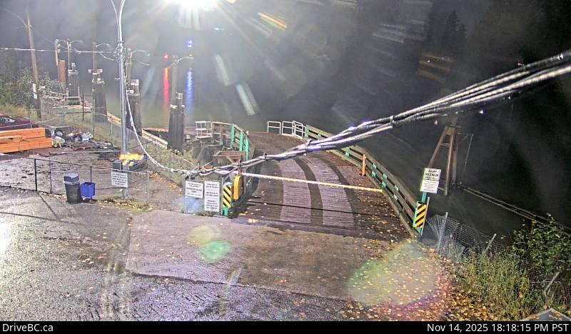 OfflineStill imageBarnston, Port Kells, looking east
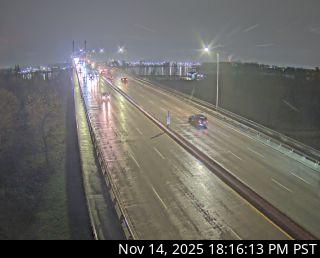 OfflineStill imageGolden Ears Way at Wharf Street
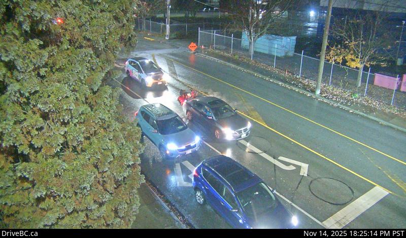 OfflineStill imageHighway 7, Lougheed at Haney Bypass, looking north
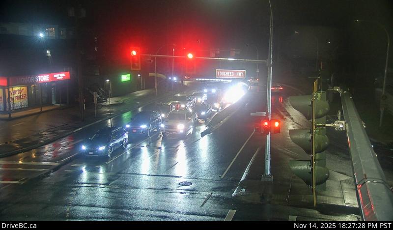 OfflineStill imageHighway 7, Lougheed at Haney Bypass, looking south
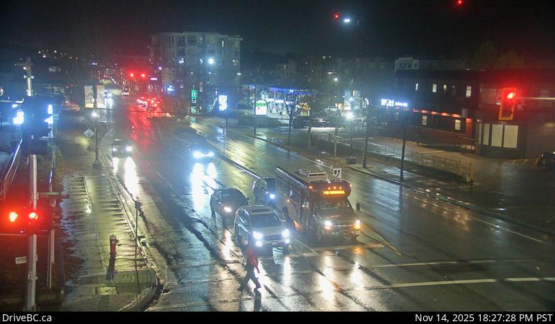 OfflineStill imageHighway 7, Lougheed at Haney Bypass, looking east
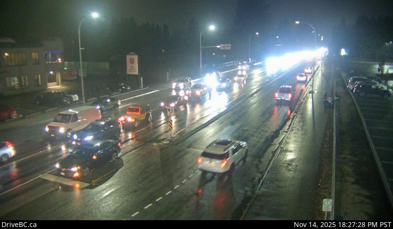 OfflineStill imageHighway 7, Lougheed at Haney Bypass, looking west
No live video among these cameras. Turn off "Live video only" to see them all.
Best cams to watch
- Highway 10, Hwy 10 at 200 Street, looking east — Still image · every 15 min, working 100 % of the time in the last 30 days.
- Highway 10, Hwy 10 at 200 Street, looking west — Still image · every 15 min, working 100 % of the time in the last 30 days.
- Highway 10, Hwy 10 at 200 Street, looking south — Still image · every 15 min, working 100 % of the time in the last 30 days.
Langley, in the eastern part of Metro Vancouver, British Columbia, is really two neighboring municipalities that share a name. The Township of Langley is the large one, a mix of farms, horse country and fast-growing suburbs such as Willoughby, Walnut Grove, Murrayville and Aldergrove, with about 133,000 people at the 2021 census. Inside it sits the compact City of Langley, about 29,000 people, which split from the Township in 1955 after a dispute over street lights and services. Surrey lies to the west, Abbotsford to the east, and the Fraser River forms the northern edge.
History runs deep here. Fort Langley, a Hudson's Bay Company post on the Fraser, is where British Columbia was proclaimed a colony in 1858, and the national historic site and the village around it are favorite day trips.
Highways and the border
The cameras on this page come from DriveBC, the provincial highway information service, and they post still images every few minutes. They cover the main routes through the Langleys: Highway 1, the Trans-Canada, which crosses the northern part of the Township, Highway 10 running east and west, and Highway 13, which heads south through Aldergrove to the Aldergrove–Lynden border crossing into Washington State. Some views face the border inspection lanes, so they give a rough idea of how long the line of cars is before you set out.
Both Langleys run on Pacific Time, matching Vancouver and Seattle, which keeps border timing simple. Summer days are long, with sunsets after nine in late June, while in December it is dark soon after four. Rain is the usual winter weather, but the eastern Fraser Valley gets more snow and cold outflow winds than downtown Vancouver, which can make the highway pictures look wintry when the city is just wet. Border lines grow on long weekends in both countries.
For more views, the Surrey pages cover the busy crossings at Douglas and Pacific Highway, and Abbotsford's cameras watch Highway 1 farther up the valley.
Sources: Langley, British Columbia (city) - Wikipedia · Census Profile 2021 - Langley, City (Statistics Canada) · Township of Langley 2021 statistical profile · DriveBC.
Nearby places
- Surrey (212)
- Fleetwood (126)
- Vancouver (120)
- New Westminster (111)
- Burnaby (102)
- Delta (78)
- Maple Ridge (76)
- Richmond (76)
Questions about Langley
How many webcams can I watch in Langley?
LiveLocation lists 119 cameras in and around Langley, Canada: 0 live video, 119 still images. 107 of them were live or showing a fresh image at the last check.
Who runs the cameras in Langley?
All of them come from DriveBC (119). Each camera plays straight from the agency or owner that runs it, with credit. DriveBC
What can I see on the Langley cameras?
The views are traffic and highway (102) and border crossing (17). Good ones to start with: Highway 10, Hwy 10 at 200 Street, looking east and Highway 10, Hwy 10 at 200 Street, looking west. Highway 10, Hwy 10 at 200 Street, looking east Highway 10, Hwy 10 at 200 Street, looking west
Can I watch live video from Langley?
Not yet: the cameras here send still images that refresh about every 12 minutes. The map can show only live-video cameras nearby. Live video on the map
What time is it in Langley, and when is it light?
Langley is on America/Vancouver time. On October 7 the sun rises at 7:19 AM and sets at 6:36 PM, so still images are clearest between those times. Road cameras show the most traffic in the weekday morning and evening rush hours.
Which places near Langley also have cameras?
The nearest are Surrey (12 km away, 212 cameras), Fleetwood (13 km away, 126 cameras) and White Rock (13 km away, 31 cameras). Surrey Fleetwood White Rock
How can I see the Langley cameras on a map?
The map at the top of this page shows all 119 of them. The live camera radar centers on Langley and lists every camera within 5 to 250 km, nearest first, with filters for live video, traffic, nature and more. Open the radar on Langley
Place names and locations: GeoNames, licensed under CC BY 4.0.