Live cameras in Richmond, Canada
76 cameras: 0 live video, 76 still images · 76 working now · updated Oct 8, 03:31 UTC
Richmond has 76 live cameras on LiveLocation right now: 0 live video, 76 still images. Good places to start: Highway 99, Hwy 99 at Cambie, looking north, Highway 99, Hwy 99 at Cambie, looking south, Highway 99, Hwy 99 at Shell Road. Local time is 8:31 PM (America/Vancouver). Today the sun rises at 7:21 AM and sets at 6:38 PM.
Richmond live cameras
Richmond live cameras, all in one place: 0 live video, 76 still images. 76 of them were live or fresh at the last check. Richmond is home to about 210,000 people.
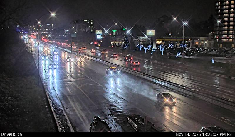 WorkingStill imageHighway 99, Hwy 99 at Cambie, looking north
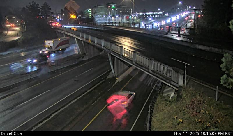 WorkingStill imageHighway 99, Hwy 99 at Cambie, looking south
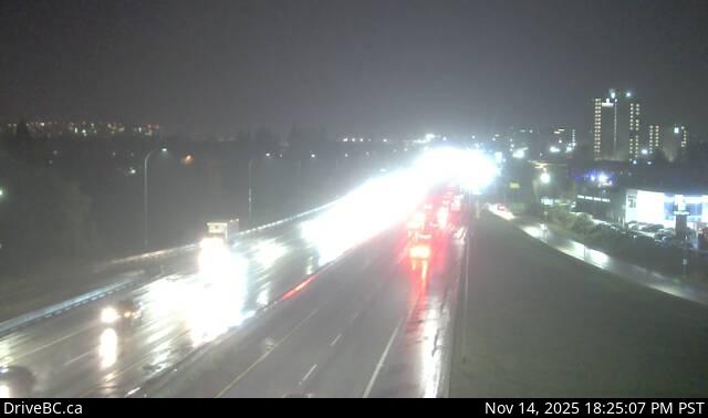 WorkingStill imageHighway 99, Hwy 99 at Shell Road
 WorkingStill imageHighway 99, Hwy 99 at Westminster Highway, looking south
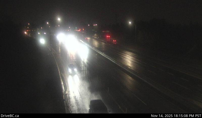 WorkingStill imageHighway 99, Hwy 99 at Westminster Highway, looking north
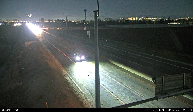 WorkingStill imageHighway 99, Blundell, looking north
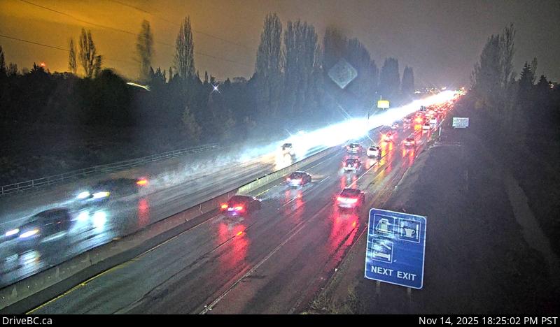 WorkingStill imageHighway 99, Blundell, looking south
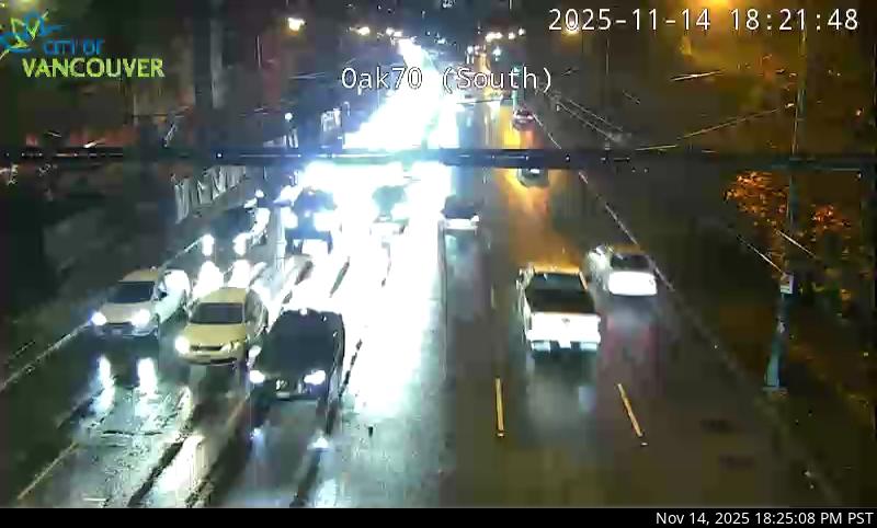 WorkingStill imageHighway 99, Oak Street at 70 Avenue, looking south
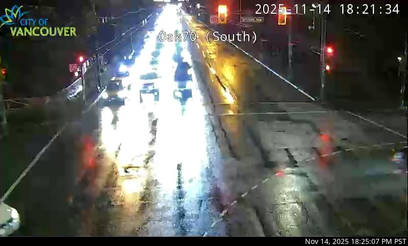 WorkingStill imageHighway 99, Oak Street at 70 Avenue, looking north
 WorkingStill imageKnight Street Bridge southend, looking north
 WorkingStill imageKnight Street Bridge southend, looking south
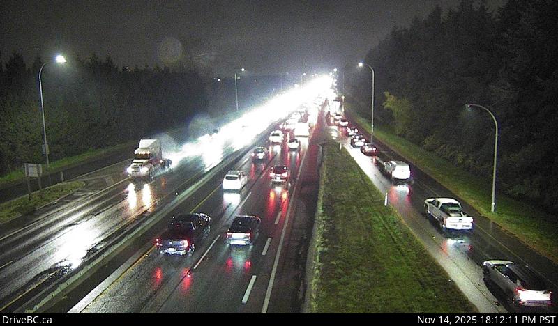 WorkingStill imageHighway 91, Hwy 91 at No.6 Road, looking east
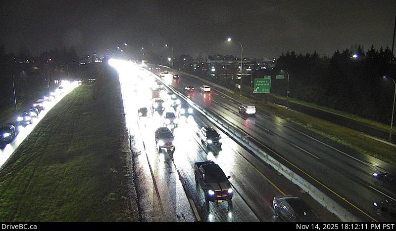 WorkingStill imageHighway 91, Hwy 91 at No.6 Road, looking west
 WorkingStill imageHighway 99, Steveston
 WorkingStill imageKnight Street Bridge northend, looking north
 WorkingStill imageKnight Street Bridge northend, looking south
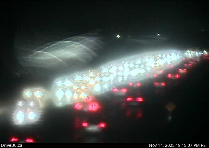 WorkingStill imageHighway 91, Hwy 91 at No.8 Road, looking east
 WorkingStill imageHighway 91, Hwy 91 at No.8 Road, looking west
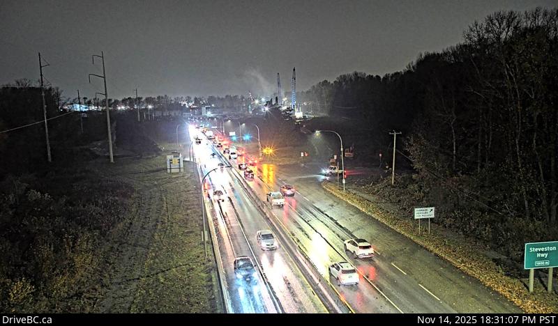 WorkingStill imageHighway 99, Deas
 WorkingStill imageHighway 99, South Approach
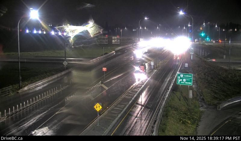 WorkingStill imageHighway 99, Hwy 99 at Hwy 17A, looking south
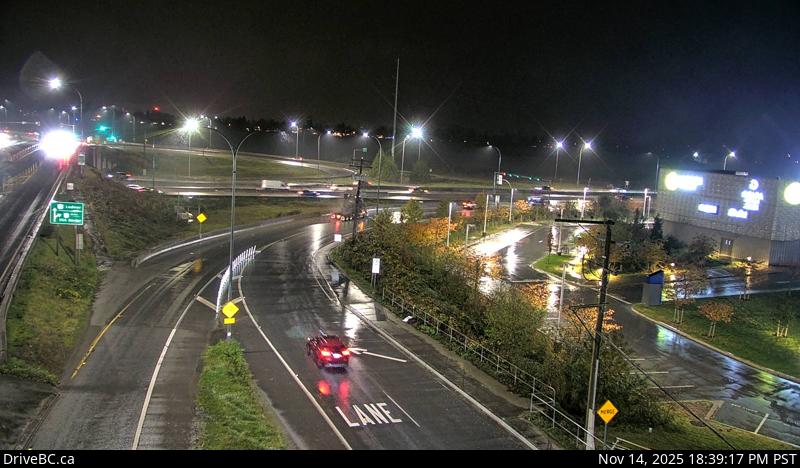 WorkingStill imageHighway 99, Hwy 99 at Hwy 17A, looking east
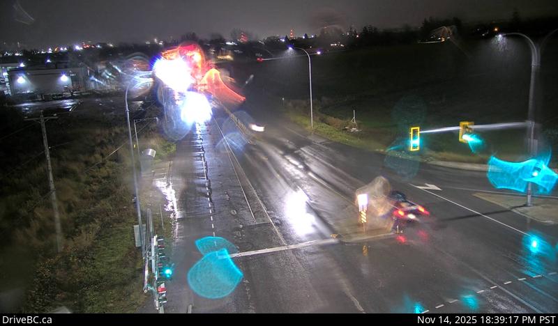 WorkingStill imageHighway 99, Hwy 99 at Hwy 17A, looking northeast
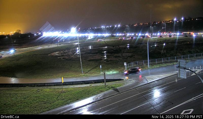 WorkingStill imageHighway 99, Hwy 99 at Hwy 17A, looking west
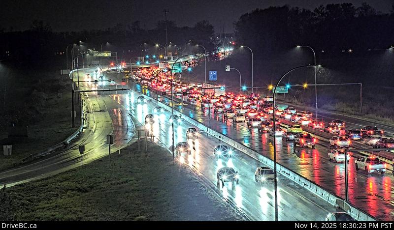 WorkingStill imageHighway 99, Hwy 17A Overpass
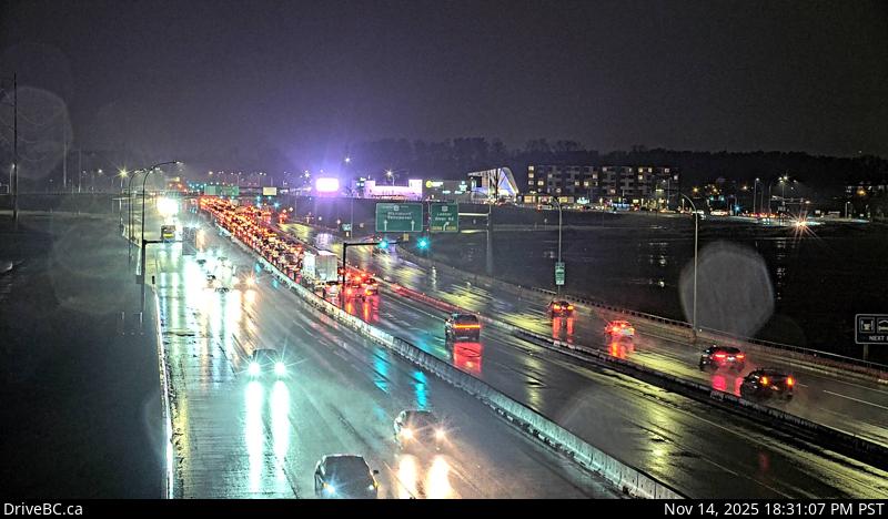 WorkingStill imageHighway 99, Works Yard
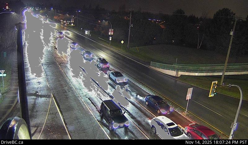 WorkingStill imageHighway 17A, Ladner, looking west
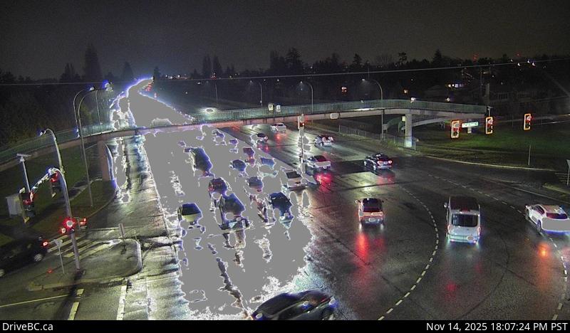 WorkingStill imageHighway 17A, Ladner, looking north
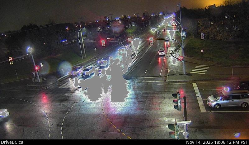 WorkingStill imageHighway 17A, Ladner, looking east
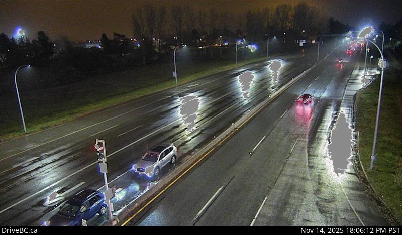 WorkingStill imageHighway 17A, Ladner, looking south
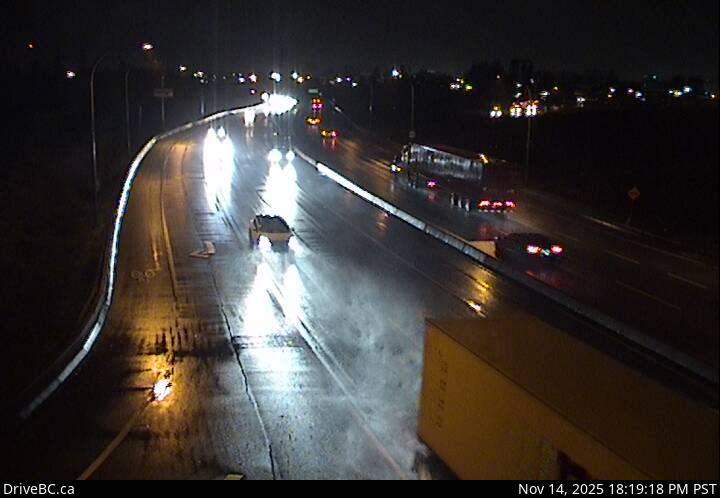 WorkingStill imageHighway 17, Hwy 17 at 80 Street, looking west
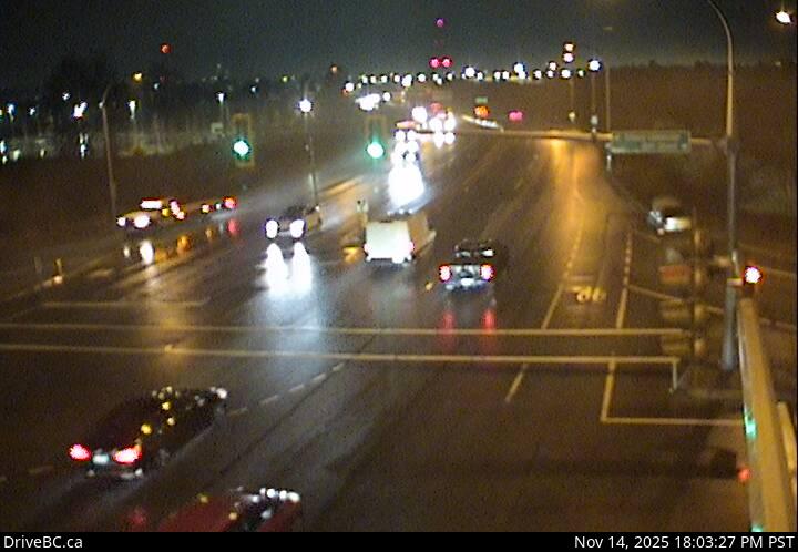 WorkingStill imageHighway 17, Hwy 17 at 80 Street, looking east
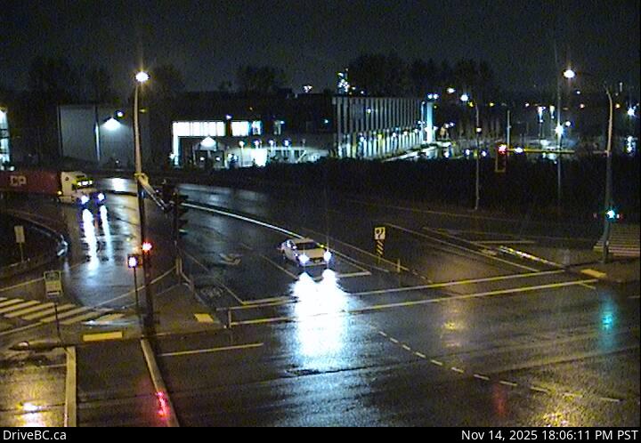 WorkingStill imageHighway 17, Hwy 17 at 80 Street, looking north
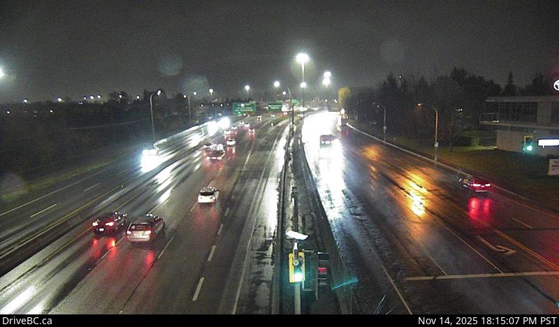 WorkingStill imageHighway 91, Hwy 91 at Fraserwood Way, looking east
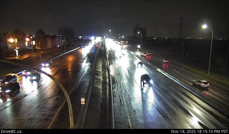 WorkingStill imageHighway 91, Hwy 91 at Fraserwood Way, looking west
 WorkingStill imageHighway 17A, Delta, looking south
 WorkingStill imageHighway 17A, Delta, looking north
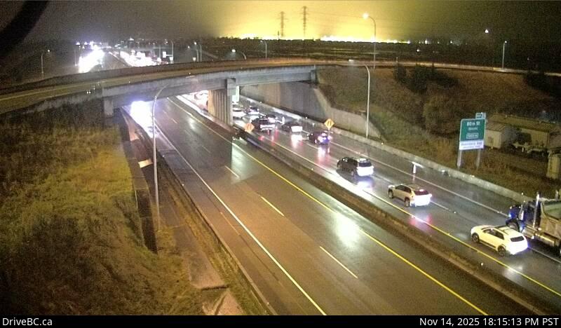 WorkingStill imageHighway 99, Hwy 99 at Hwy 17, looking east
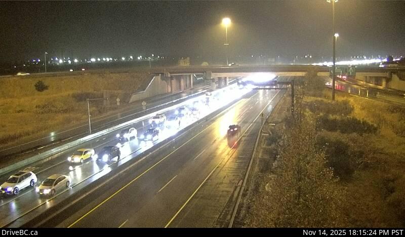 WorkingStill imageHighway 99, Hwy 99 at Hwy 17, looking west
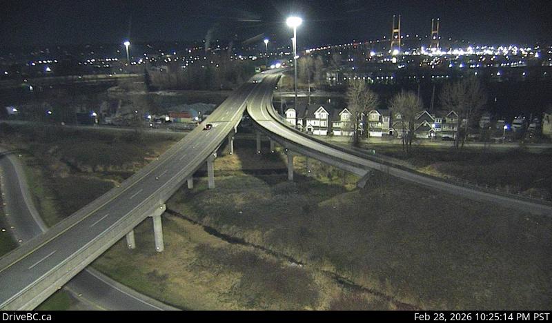 WorkingStill imageHighway 91, Alex Fraser Bridge Southbound
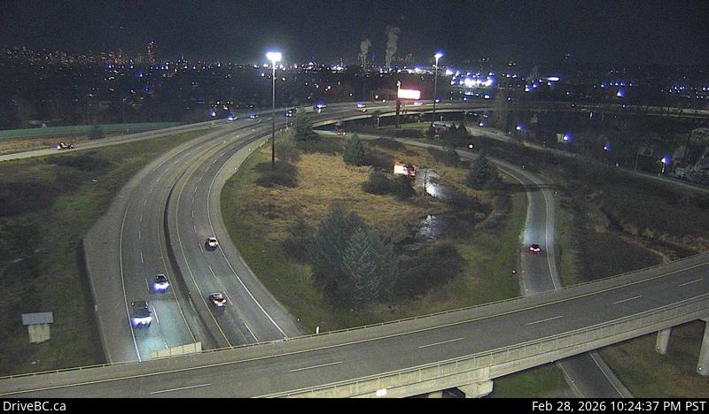 WorkingStill imageHighway 91, Annacis Channel Bridge Approach
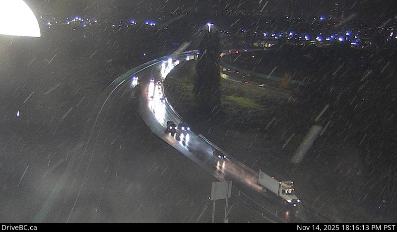 WorkingStill imageHighway 91A, Queensborough Connector
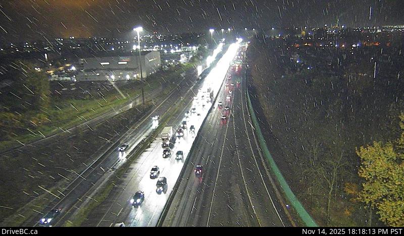 WorkingStill imageHighway 91, Hwy 91 East-West Connector, looking west
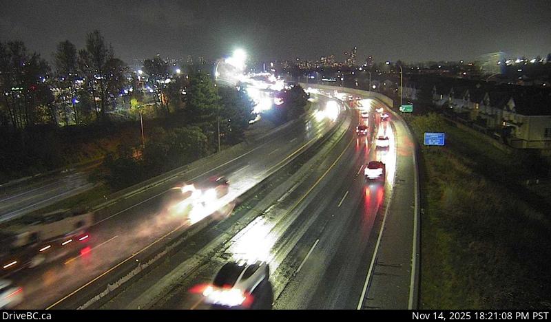 WorkingStill imageHighway 91A, Hwy 91A at Boundary Road, looking east
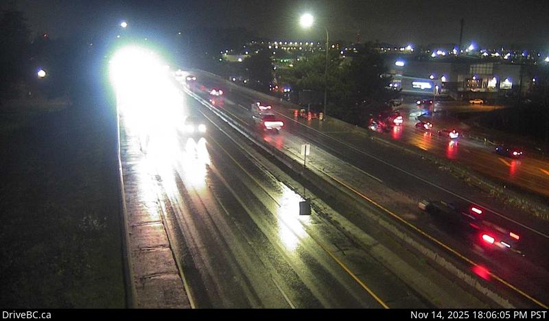 WorkingStill imageHighway 91A, Hwy 91A at Boundary Road, looking west
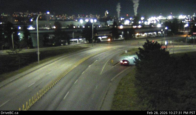 WorkingStill imageHighway 91, Annacis Island, looking east
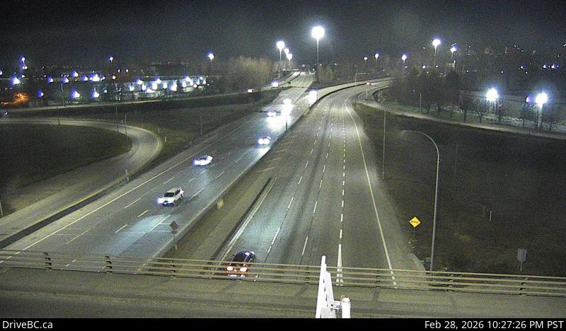 WorkingStill imageHighway 91, Annacis Island, looking north
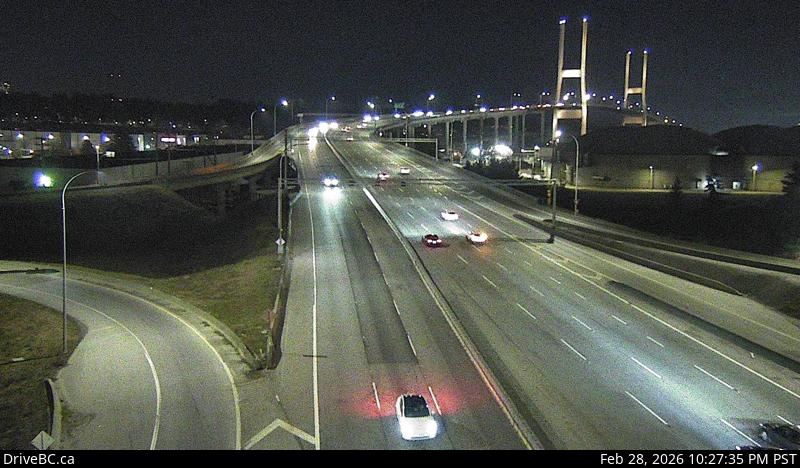 WorkingStill imageHighway 91, Annacis Island, looking south
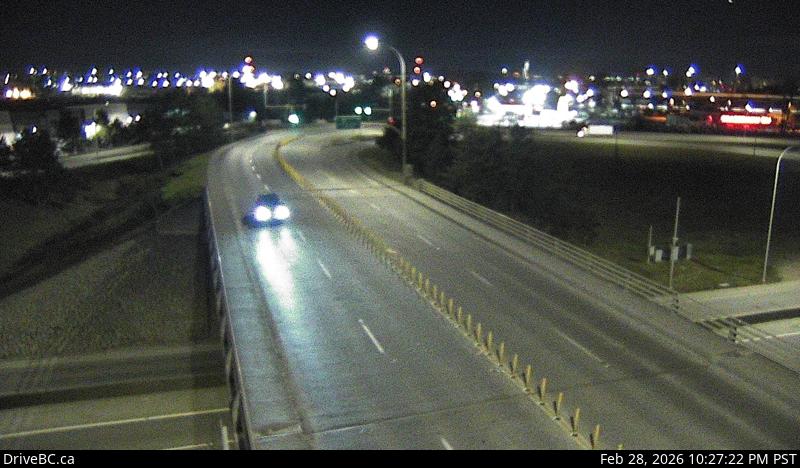 WorkingStill imageHighway 91, Annacis Island, looking west
 WorkingStill imageHighway 91A, Howes Street, looking west
 WorkingStill imageHighway 17, Hwy 17 at Hwy 91 Connector, looking east
 WorkingStill imageHighway 91A, Howes Street, looking east
 WorkingStill imageHighway 17, Hwy 17 at Hwy 91 Connector, looking north
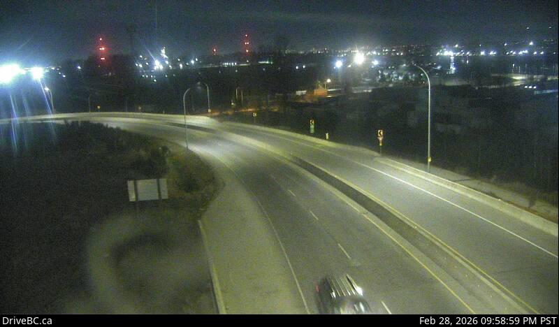 WorkingStill imageHighway 17, Hwy 17 at Hwy 91 Connector, looking south
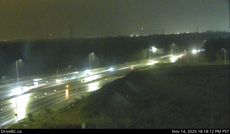 WorkingStill imageHighway 17, Hwy 17 at Hwy 91 Connector, looking west
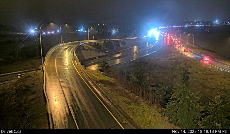 WorkingStill imageHighway 17, Deltaport Way, looking south
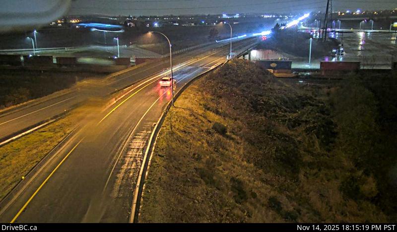 WorkingStill imageHighway 17, Deltaport Way, looking north
 WorkingStill imageHighway 17, Deltaport Way, looking east
 WorkingStill imageHighway 99, Georgia Street
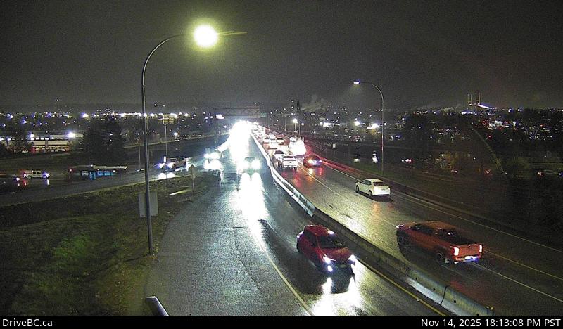 WorkingStill imageHighway 91A, Hwy 91A at Queensborough Bridge, looking south
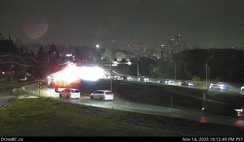 WorkingStill imageHighway 91A, Hwy 91A at Queensborough Bridge, looking east
 WorkingStill imageHighway 99, Causeway
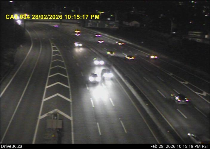 WorkingStill imageHighway 1, Cassiar Tunnel
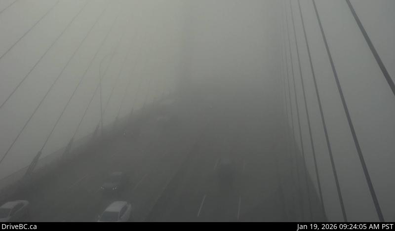 WorkingStill imageHighway 91, Alex Fraser Bridge, looking south
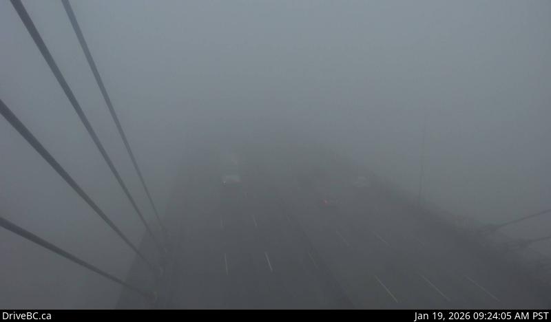 WorkingStill imageHighway 91, Alex Fraser Bridge, looking north
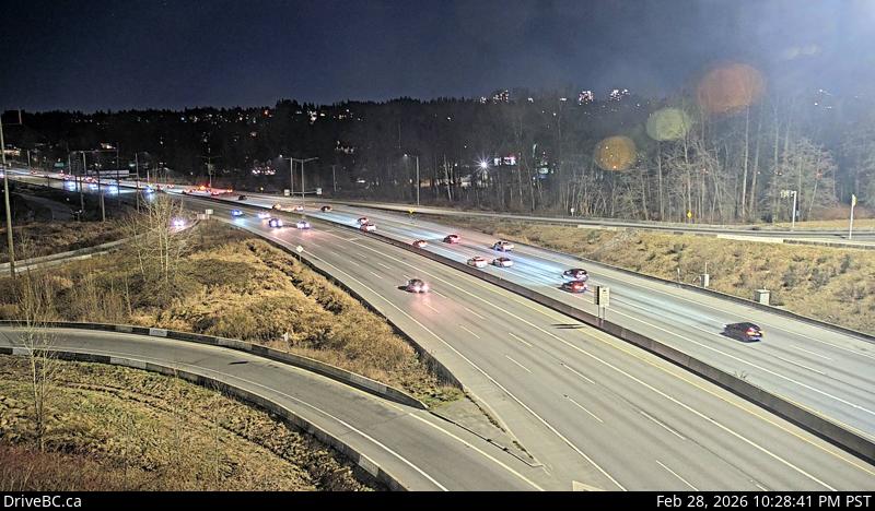 WorkingStill imageHighway 1, Kensington Avenue, looking east
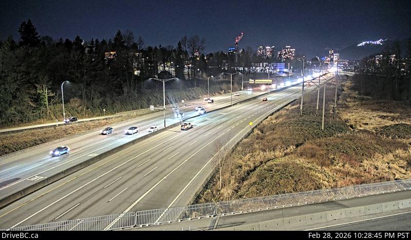 WorkingStill imageHighway 1, Kensington Avenue, looking west
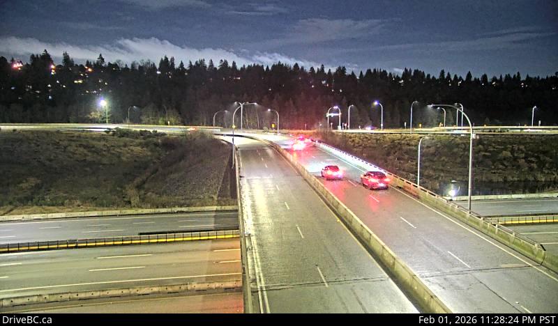 WorkingStill imageHighway 91, Hwy 91 Connector at Nordel Way, looking east
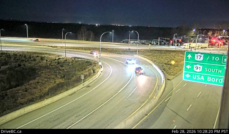 WorkingStill imageHighway 91, Hwy 91 Connector at Nordel Way, looking west
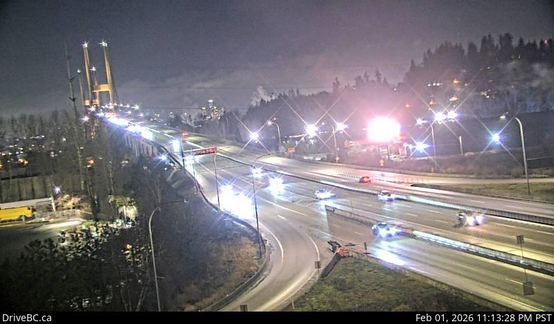 WorkingStill imageHighway 91, Hwy 91 Connector at Nordel Way, looking north
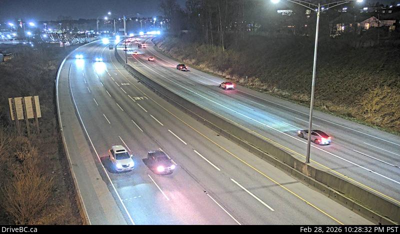 WorkingStill imageHighway 1, Douglas Road, looking east
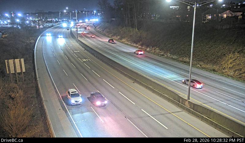 WorkingStill imageHighway 1, Douglas Road, looking west
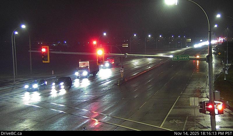 WorkingStill imageHighway 17, Hwy 17 at 56 Street, looking west
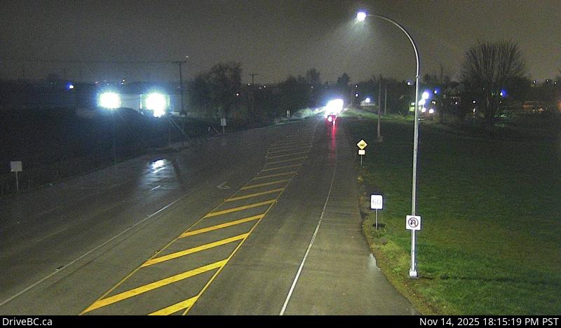 WorkingStill imageHighway 17, Hwy 17 at 56 Street, looking north
 WorkingStill imageHighway 17, Hwy 17 at 56 Street, looking east
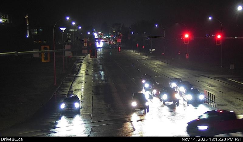 WorkingStill imageHighway 17, Hwy 17 at 56 Street, looking south
No live video among these cameras. Turn off "Live video only" to see them all.
Best cams to watch
- Highway 99, Hwy 99 at Cambie, looking north — Still image · every 11 min, working 100 % of the time in the last 30 days.
- Highway 99, Hwy 99 at Cambie, looking south — Still image · every 11 min, working 100 % of the time in the last 30 days.
- Highway 99, Hwy 99 at Shell Road — Still image · every 5 min, working 100 % of the time in the last 30 days.
Richmond is an island city just south of Vancouver, built mostly on Lulu Island and Sea Island in the Fraser River delta, plus about fifteen smaller islands. The 2021 census counted about 210,000 residents, and more than half of them are of East Asian heritage, which shows in the restaurants, malls and the Richmond Night Market, often described as the largest night market in North America. The land averages about one meter above sea level, so dykes ring the main islands. Sea Island holds Vancouver International Airport, the Canada Line connects the city center with downtown Vancouver, and the Richmond Olympic Oval was the speed skating venue of the 2010 Winter Games. At the southwest tip, the old fishing village of Steveston keeps its cannery and boardwalk.
Bridges, a tunnel and Highway 99
Because Richmond is surrounded by water, nearly every trip out of the city crosses a river, and the DriveBC views here reflect that. Highway 99 runs north and south through the city: it reaches Vancouver over the Oak Street Bridge and heads south under the Fraser through the George Massey Tunnel toward Delta and the US border. The Knight Street Bridge and the Arthur Laing Bridge are the other main crossings to Vancouver. The Massey Tunnel is due to be replaced by the Fraser River Tunnel Project; the province changed its procurement approach in June 2026, and major construction is expected to start in 2027. The camera images refresh every few minutes.
Richmond uses the province's permanent UTC minus seven since 2026. The delta is flat and often foggy on autumn and winter mornings, and steady rain is common from November through March. Rush hours at the tunnel and the bridges are the obvious times to look, along with holiday weekends.
The Steveston Salmon Festival on Canada Day is the city's biggest street party, and the dyke trails at Terra Nova and Garry Point Park look across the Strait of Georgia.
Sources: Richmond, British Columbia - Wikipedia · Moving ahead on Fraser River Tunnel Project with revised procurement approach - BC Gov News · B.C.'s new time zone (Pacific time) - Province of British Columbia.
Nearby places
- Surrey (212)
- Fleetwood (126)
- Vancouver (120)
- New Westminster (111)
- Langley (107)
- Burnaby (102)
- Delta (78)
- Maple Ridge (76)
Questions about Richmond
How many webcams can I watch in Richmond?
LiveLocation lists 76 cameras in and around Richmond, Canada: 0 live video, 76 still images. 76 of them were live or showing a fresh image at the last check.
Who runs the cameras in Richmond?
All of them come from DriveBC (76). Each camera plays straight from the agency or owner that runs it, with credit. DriveBC
What can I see on the Richmond cameras?
The views are traffic and highway (66) and bridge (10). Good ones to start with: Highway 99, Hwy 99 at Cambie, looking north and Highway 99, Hwy 99 at Cambie, looking south. Highway 99, Hwy 99 at Cambie, looking north Highway 99, Hwy 99 at Cambie, looking south
Can I watch live video from Richmond?
Not yet: the cameras here send still images that refresh about every 13 minutes. The map can show only live-video cameras nearby. Live video on the map
What time is it in Richmond, and when is it light?
Richmond is on America/Vancouver time. On October 7 the sun rises at 7:21 AM and sets at 6:38 PM, so still images are clearest between those times. Road cameras show the most traffic in the weekday morning and evening rush hours.
Which places near Richmond also have cameras?
The nearest are Victoria-Fraserview (7.3 km away, 24 cameras), Riley Park (8.7 km away, 17 cameras) and Delta (11 km away, 78 cameras). Victoria-Fraserview Riley Park Delta
How can I see the Richmond cameras on a map?
The map at the top of this page shows all 76 of them. The live camera radar centers on Richmond and lists every camera within 5 to 250 km, nearest first, with filters for live video, traffic, nature and more. Open the radar on Richmond
Place names and locations: GeoNames, licensed under CC BY 4.0.