Live cameras in Vancouver, Canada
123 cameras: 0 live video, 123 still images · 120 working now · updated Oct 8, 03:31 UTC
Vancouver has 123 live cameras on LiveLocation right now: 0 live video, 123 still images. Good places to start: Highway 99, Georgia Street, Highway 99, Causeway, Highway 99, LGB North End 2. Local time is 8:31 PM (America/Vancouver). Today the sun rises at 7:21 AM and sets at 6:38 PM.
Vancouver live cameras
Watch Vancouver live webcams: 0 live video, 123 still images. 120 were working at the last check. Vancouver is home to about 662,000 people.
Weather now in Vancouver: 14 °C (57 °F), mostly clear, wind 8 km/h (5 mph) from the east. Forecast for 9 PM local time. Weather: MET Norway (CC BY 4.0)
 WorkingStill imageHighway 99, Georgia Street
 WorkingStill imageHighway 99, Causeway
 WorkingStill imageHighway 99, LGB North End 2
 WorkingStill imageHighway 99, LGB North End 1
 WorkingStill imageHighway 99, Marine Drive
 WorkingStill imageHighway 99, Taylor Way
 WorkingStill imageHighway 1, Capilano, looking north
 WorkingStill imageHighway 1, Capilano, looking west
 WorkingStill imageHighway 1, Capilano, looking east
 WorkingStill imageHighway 1, Capilano, looking south
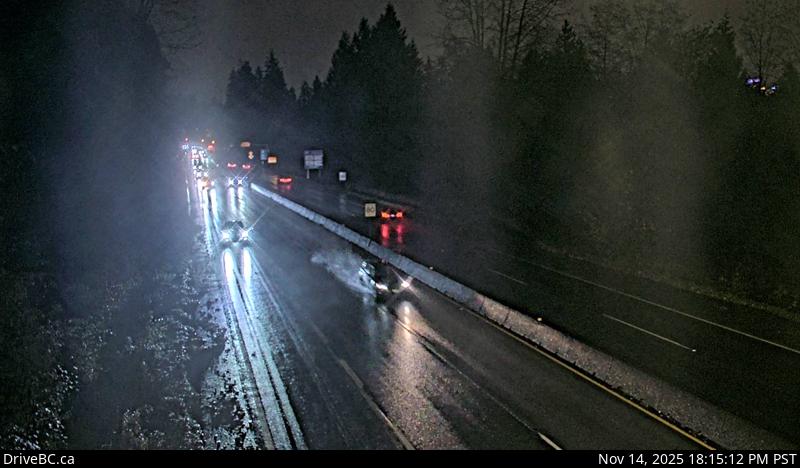 WorkingStill imageHighway 1, Hwy 1 at Hadden Drive Ramp, looking east
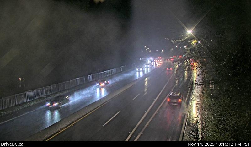 WorkingStill imageHighway 1, Hwy 1 at Hadden Drive Ramp, looking west
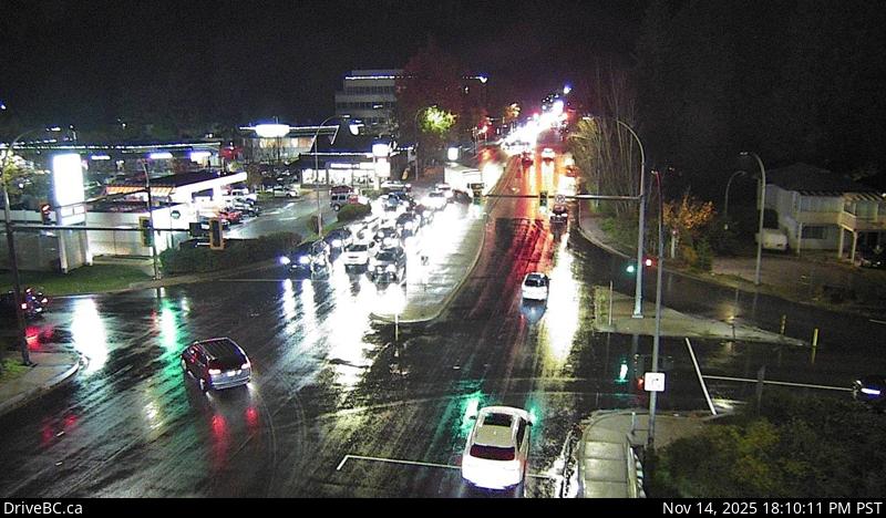 WorkingStill imageHighway 1, Westview, looking north
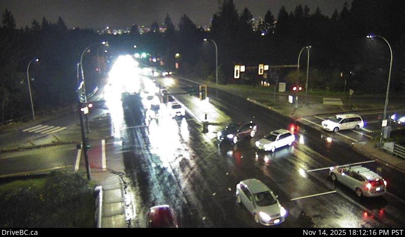 WorkingStill imageHighway 1, Westview, looking south
 WorkingStill imageHighway 1, Westview, looking east
 WorkingStill imageHighway 1, Westview, looking west
 WorkingStill imageHighway 1, Lonsdale, looking north
 WorkingStill imageHighway 1, Lonsdale, looking east
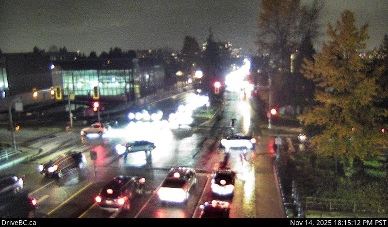 WorkingStill imageHighway 1, Lonsdale, looking south
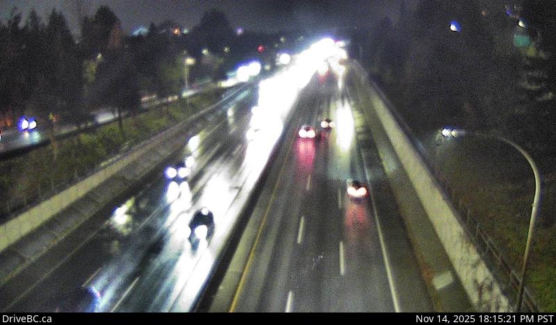 WorkingStill imageHighway 1, Lonsdale, looking west
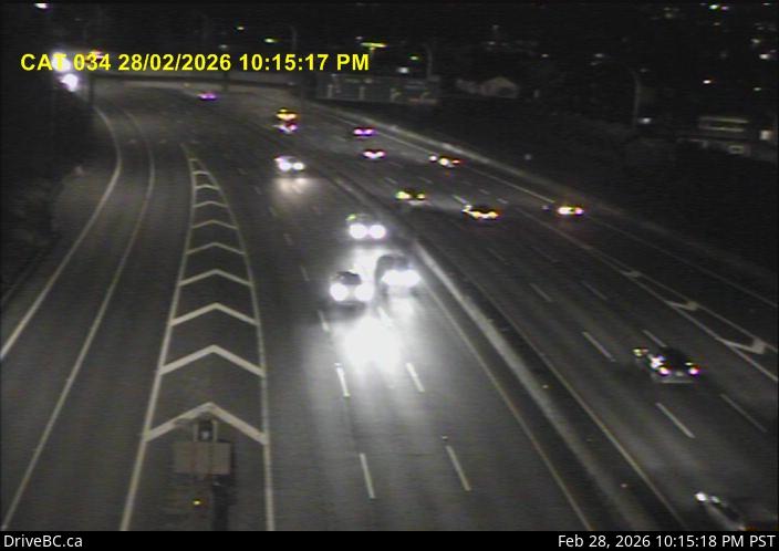 WorkingStill imageHighway 1, Cassiar Tunnel
 WorkingStill imageHighway 1, Ironworkers South eastbound
 WorkingStill imageHighway 1, Ironworkers South westbound
 WorkingStill imageHighway 1, Ironworkers midspan
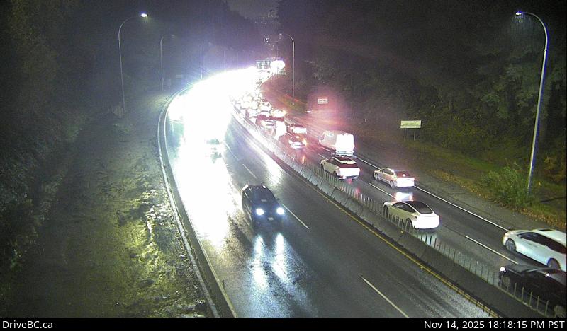 WorkingStill imageHighway 1, Lynn Valley Road, looking east
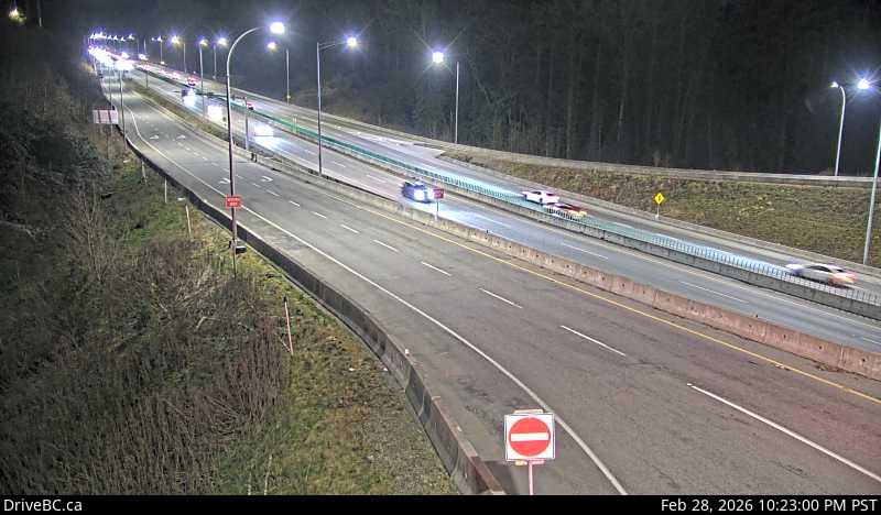 WorkingStill imageHighway 1, Mountain Highway, looking south
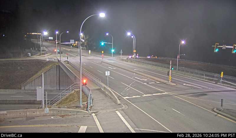 WorkingStill imageHighway 1, Mountain Highway, looking west
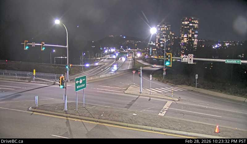 WorkingStill imageHighway 1, Mountain Highway, looking east
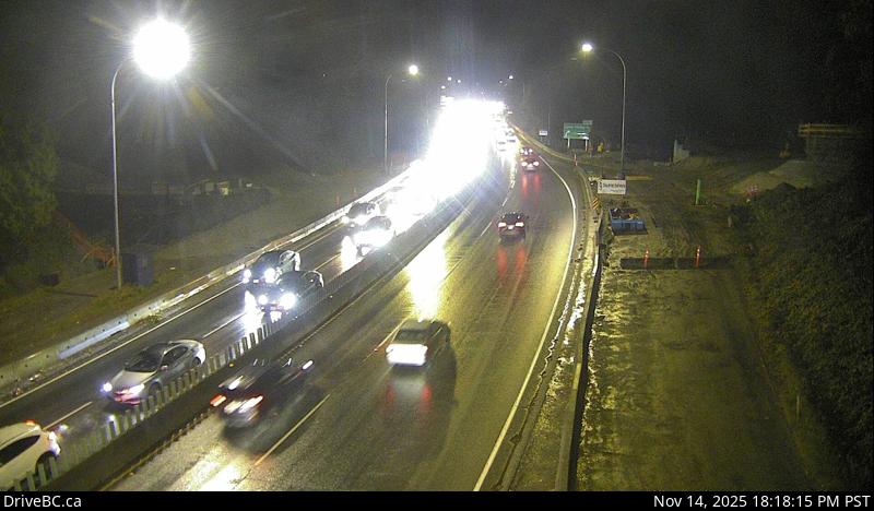 WorkingStill imageHighway 1, Lynn Valley Road, looking west
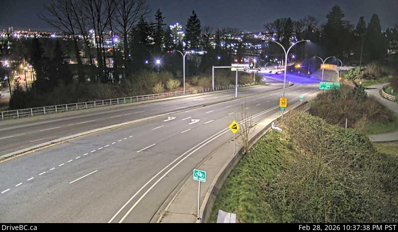 WorkingStill imageHighway 1, Mountain Highway, looking north
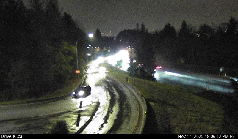 WorkingStill imageHighway 1, Cross Creek, looking east
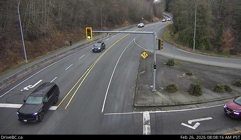 WorkingStill imageHighway 1, Cross Creek, looking north
 WorkingStill imageHighway 1, Ironworkers North, looking south
 WorkingStill imageHighway 1, Ironworkers North, looking north
 WorkingStill imageHighway 1, Ironworkers North approach, looking north
 WorkingStill imageHighway 1, Ironworkers North approach, looking south
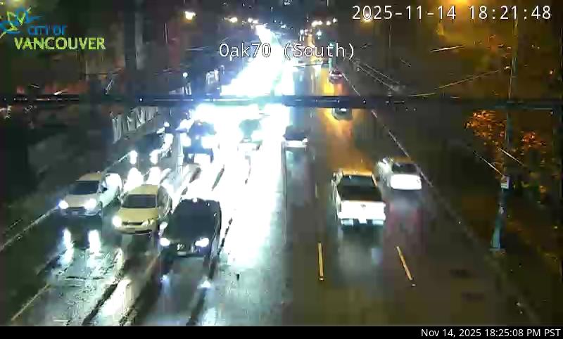 WorkingStill imageHighway 99, Oak Street at 70 Avenue, looking south
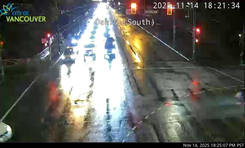 WorkingStill imageHighway 99, Oak Street at 70 Avenue, looking north
 WorkingStill imageKnight Street Bridge northend, looking north
 WorkingStill imageKnight Street Bridge northend, looking south
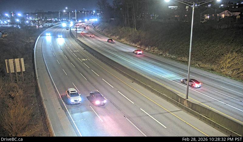 WorkingStill imageHighway 1, Douglas Road, looking east
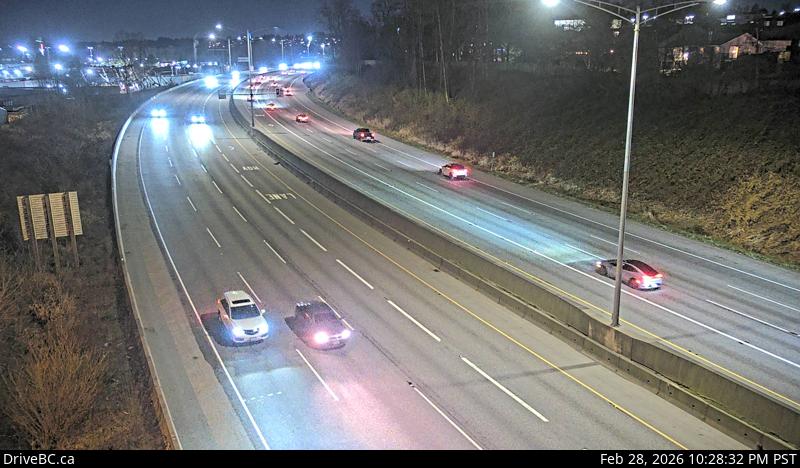 WorkingStill imageHighway 1, Douglas Road, looking west
 WorkingStill imageKnight Street Bridge southend, looking north
 WorkingStill imageKnight Street Bridge southend, looking south
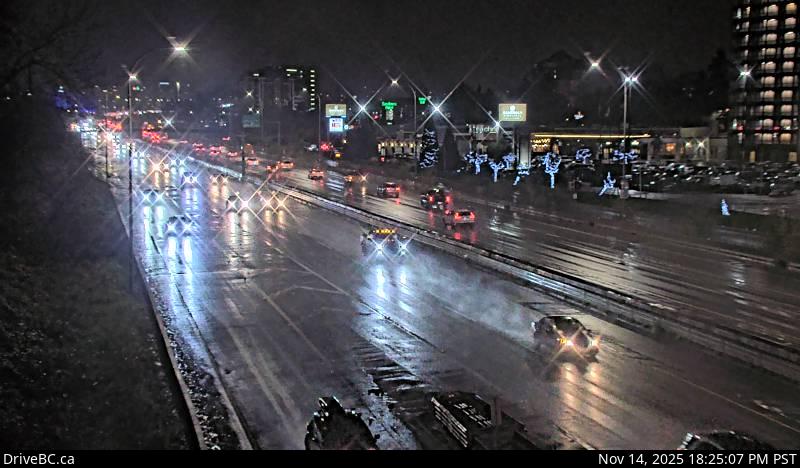 WorkingStill imageHighway 99, Hwy 99 at Cambie, looking north
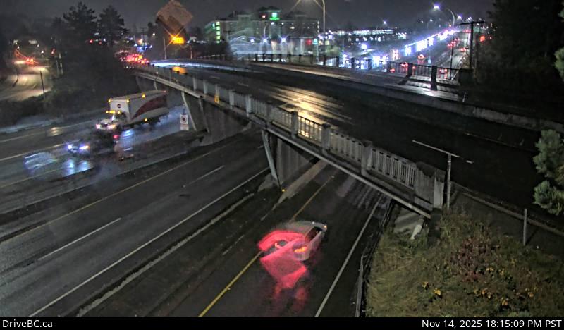 WorkingStill imageHighway 99, Hwy 99 at Cambie, looking south
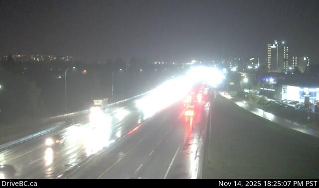 WorkingStill imageHighway 99, Hwy 99 at Shell Road
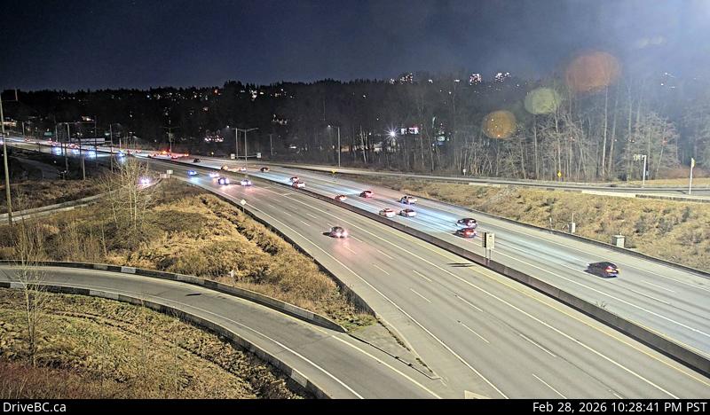 WorkingStill imageHighway 1, Kensington Avenue, looking east
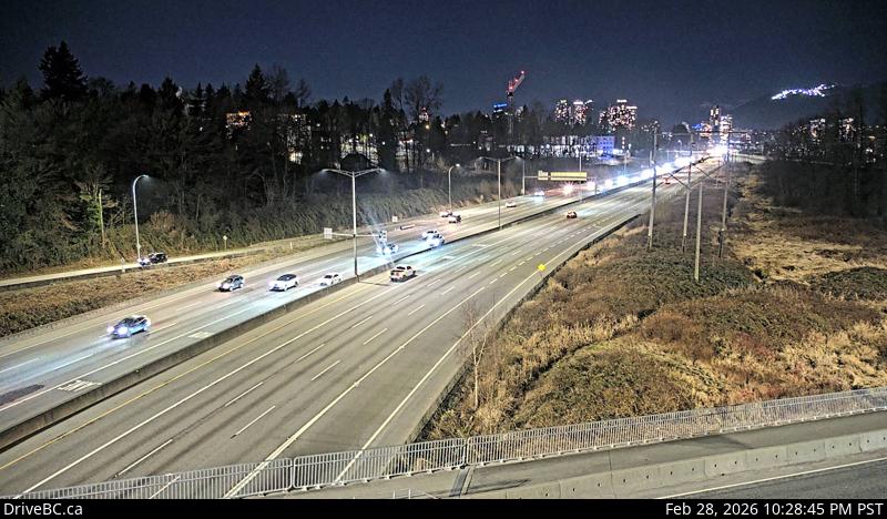 WorkingStill imageHighway 1, Kensington Avenue, looking west
 WorkingStill imageHighway 91, Hwy 91 at No.6 Road, looking east
 WorkingStill imageHighway 91, Hwy 91 at No.6 Road, looking west
 WorkingStill imageHighway 99, Hwy 99 at Westminster Highway, looking south
 WorkingStill imageHighway 99, Hwy 99 at Westminster Highway, looking north
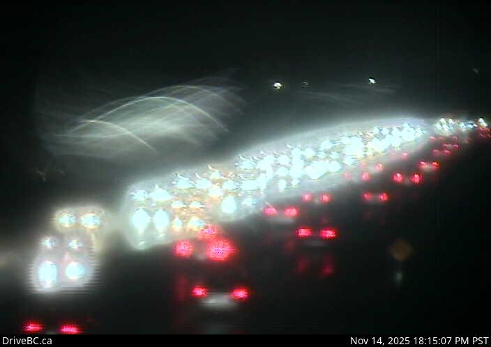 WorkingStill imageHighway 91, Hwy 91 at No.8 Road, looking east
 WorkingStill imageHighway 91, Hwy 91 at No.8 Road, looking west
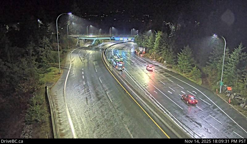 WorkingStill imageHighway 1, Horseshoe Bay, looking west
 WorkingStill imageHighway 1, Horseshoe Bay, looking east
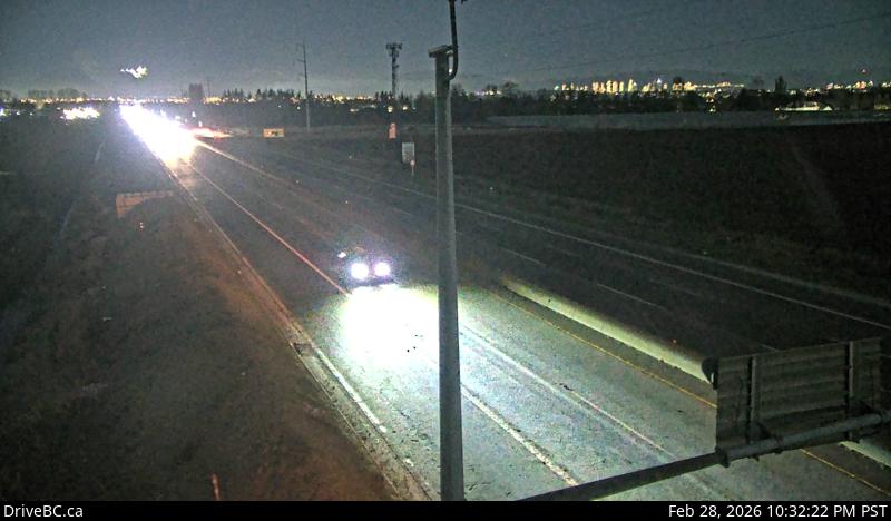 WorkingStill imageHighway 99, Blundell, looking north
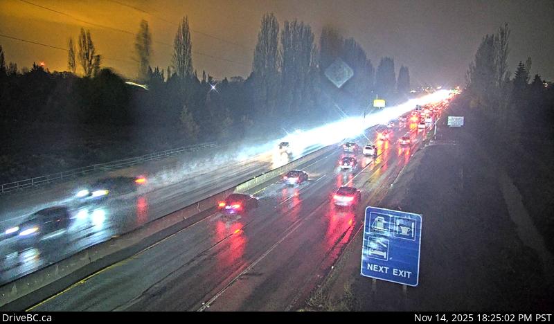 WorkingStill imageHighway 99, Blundell, looking south
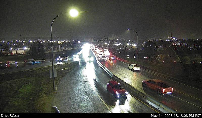 WorkingStill imageHighway 91A, Hwy 91A at Queensborough Bridge, looking south
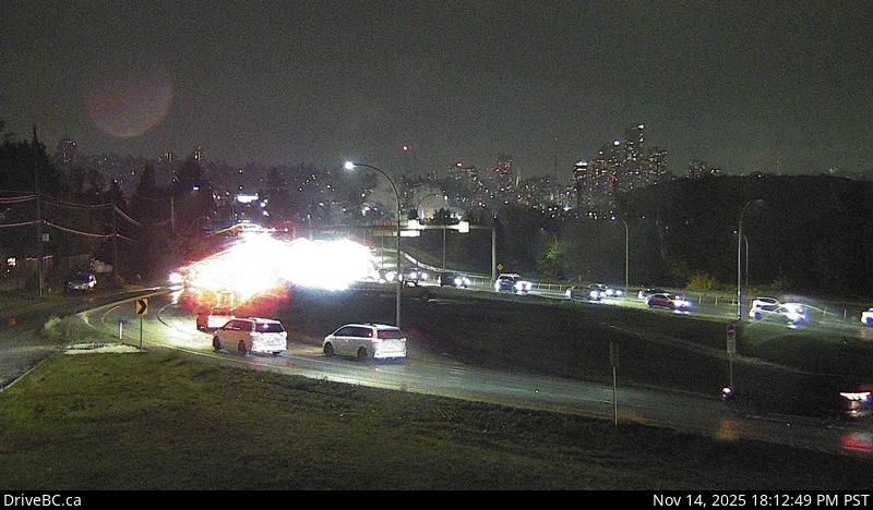 WorkingStill imageHighway 91A, Hwy 91A at Queensborough Bridge, looking east
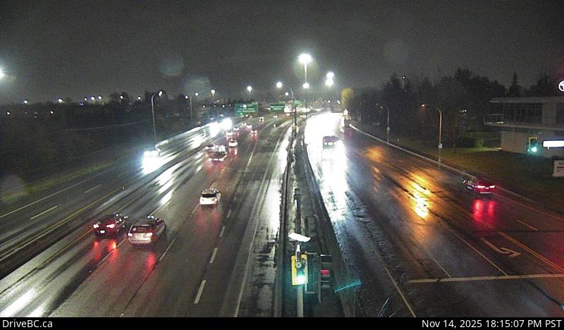 WorkingStill imageHighway 91, Hwy 91 at Fraserwood Way, looking east
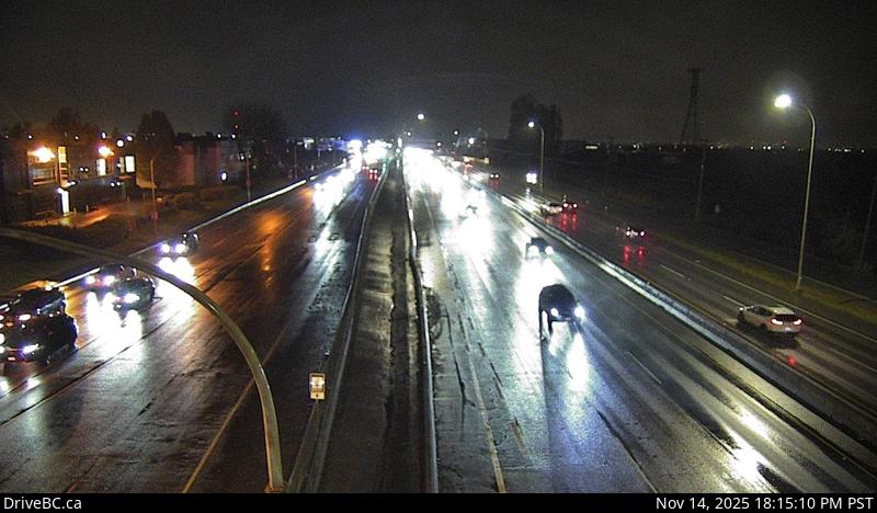 WorkingStill imageHighway 91, Hwy 91 at Fraserwood Way, looking west
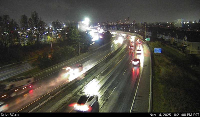 WorkingStill imageHighway 91A, Hwy 91A at Boundary Road, looking east
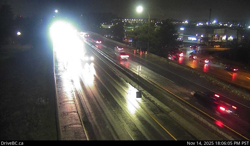 WorkingStill imageHighway 91A, Hwy 91A at Boundary Road, looking west
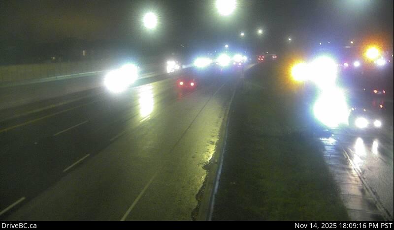 WorkingStill imageHighway 91A, Howes Street, looking west
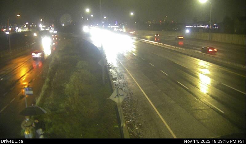 WorkingStill imageHighway 91A, Howes Street, looking east
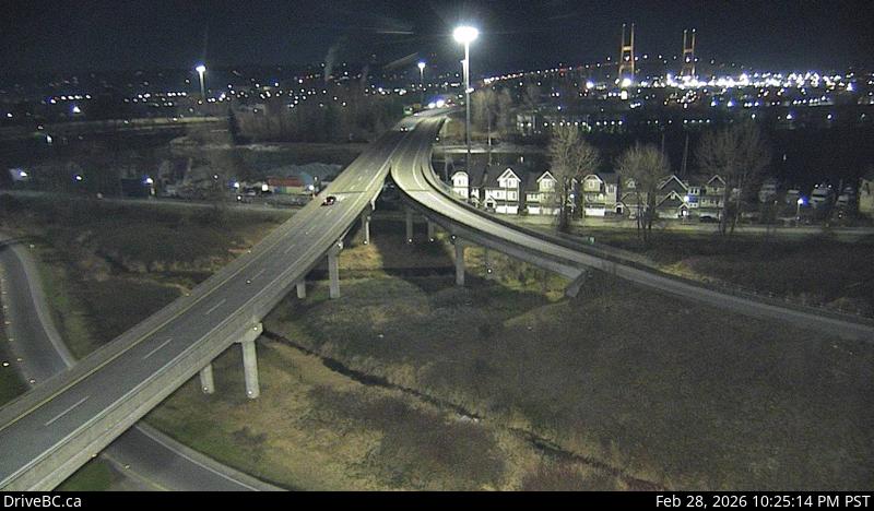 WorkingStill imageHighway 91, Alex Fraser Bridge Southbound
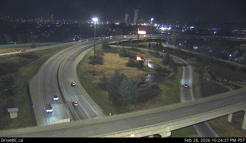 WorkingStill imageHighway 91, Annacis Channel Bridge Approach
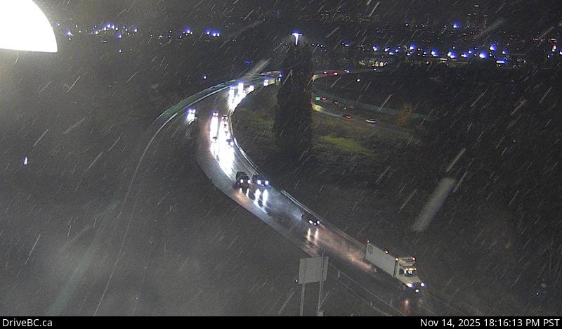 WorkingStill imageHighway 91A, Queensborough Connector
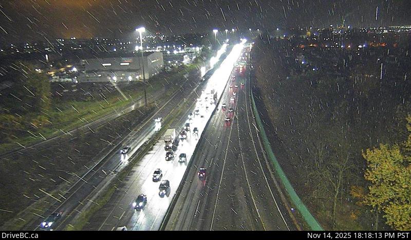 WorkingStill imageHighway 91, Hwy 91 East-West Connector, looking west
 WorkingStill imageHighway 99, Steveston
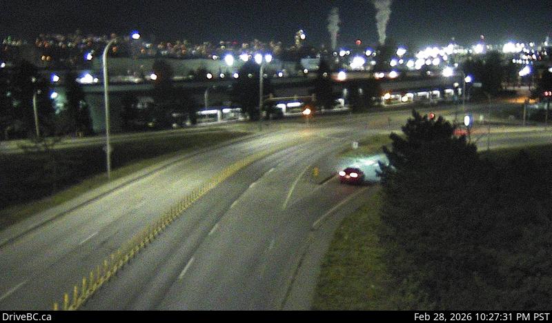 WorkingStill imageHighway 91, Annacis Island, looking east
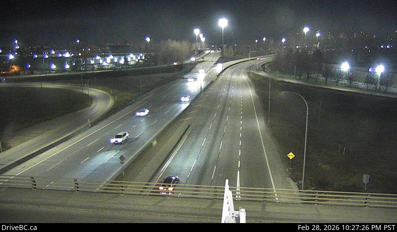 WorkingStill imageHighway 91, Annacis Island, looking north
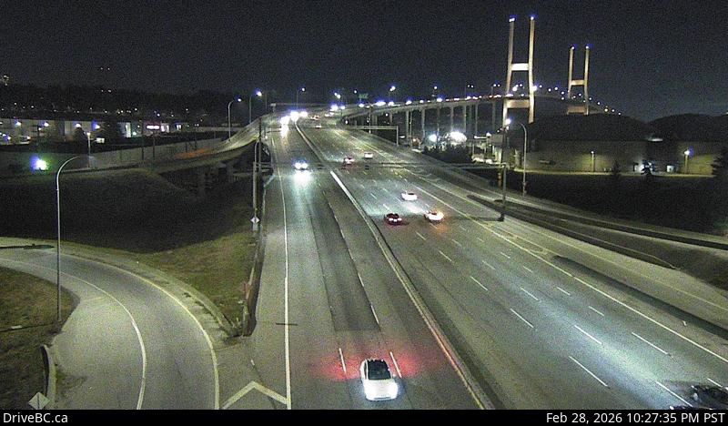 WorkingStill imageHighway 91, Annacis Island, looking south
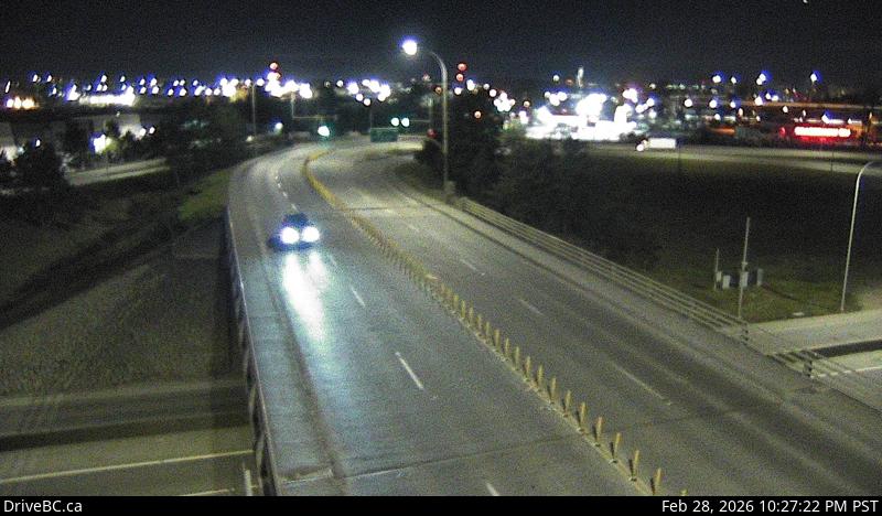 WorkingStill imageHighway 91, Annacis Island, looking west
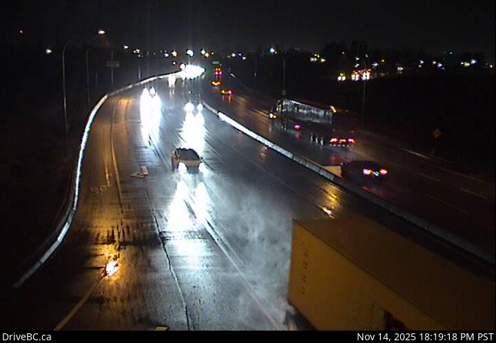 WorkingStill imageHighway 17, Hwy 17 at 80 Street, looking west
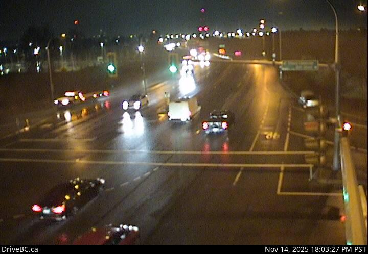 WorkingStill imageHighway 17, Hwy 17 at 80 Street, looking east
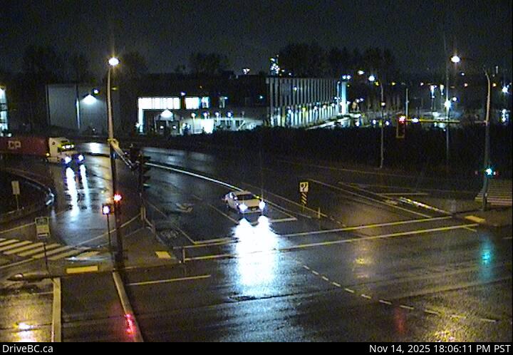 WorkingStill imageHighway 17, Hwy 17 at 80 Street, looking north
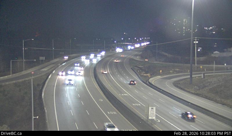 WorkingStill imageHighway 1, Brunette
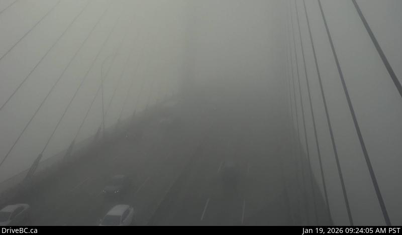 WorkingStill imageHighway 91, Alex Fraser Bridge, looking south
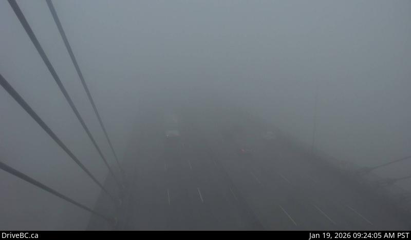 WorkingStill imageHighway 91, Alex Fraser Bridge, looking north
 WorkingStill imageHighway 17, Tannery Road, looking north
 WorkingStill imageHighway 17, Tannery Road, looking south
 WorkingStill imageHighway 17, Hwy 17 at Hwy 91 Connector, looking east
 WorkingStill imageHighway 17, Tannery Road, looking east
 WorkingStill imageHighway 17, Tannery Road, looking west
 WorkingStill imageHighway 17, Hwy 17 at Hwy 91 Connector, looking north
 WorkingStill imageHighway 17, Hwy 17 at Hwy 91 Connector, looking south
 WorkingStill imageHighway 17, Hwy 17 at Hwy 91 Connector, looking west
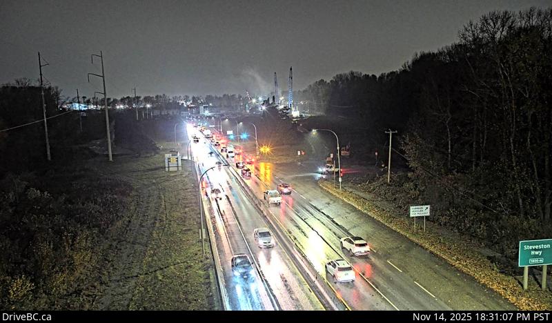 WorkingStill imageHighway 99, Deas
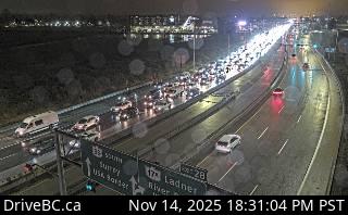 WorkingStill imageHighway 99, South Approach
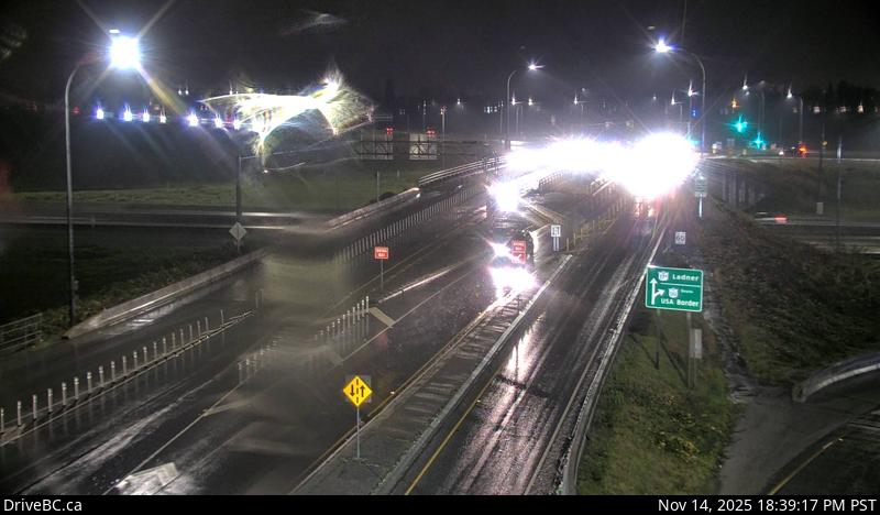 WorkingStill imageHighway 99, Hwy 99 at Hwy 17A, looking south
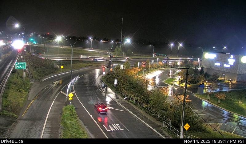 WorkingStill imageHighway 99, Hwy 99 at Hwy 17A, looking east
 WorkingStill imageHighway 99, Hwy 99 at Hwy 17A, looking northeast
 WorkingStill imageHighway 99, Hwy 99 at Hwy 17A, looking west
 WorkingStill imageHighway 99, Hwy 17A Overpass
 WorkingStill imageHighway 91, Hwy 91 Connector at Nordel Way, looking east
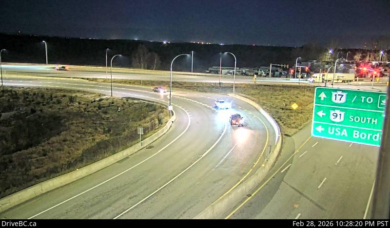 WorkingStill imageHighway 91, Hwy 91 Connector at Nordel Way, looking west
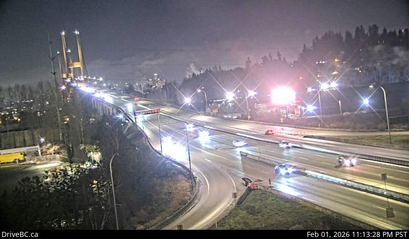 WorkingStill imageHighway 91, Hwy 91 Connector at Nordel Way, looking north
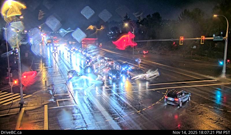 WorkingStill imageHighway 17, Bridgeview Drive, looking east
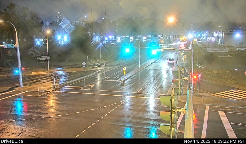 WorkingStill imageHighway 17, Bridgeview Drive, looking south
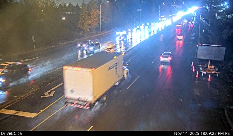 WorkingStill imageHighway 17, Bridgeview Drive, looking west
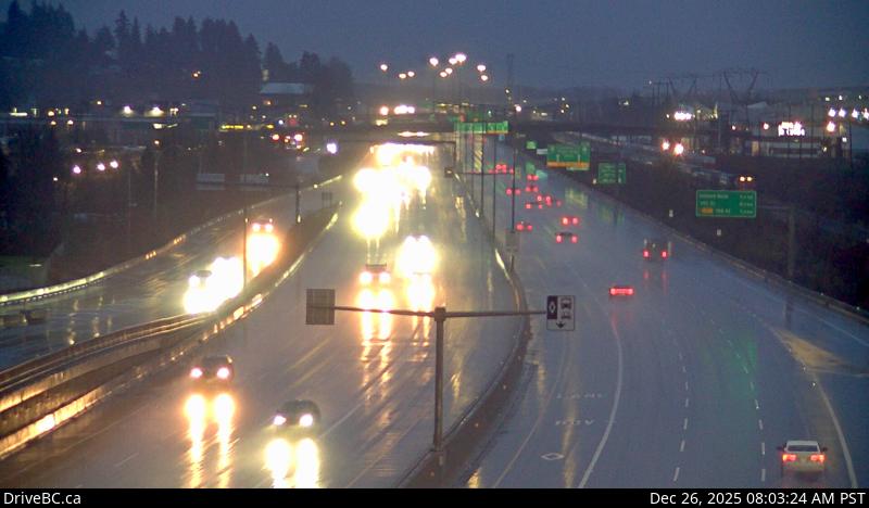 WorkingStill imageHighway 1, Coquitlam
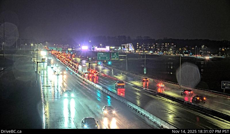 WorkingStill imageHighway 99, Works Yard
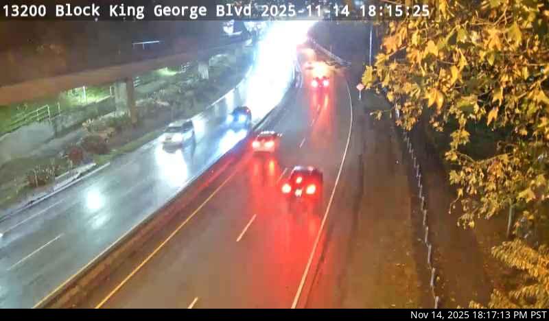 WorkingStill imageHighway 99A, Bridge Approach
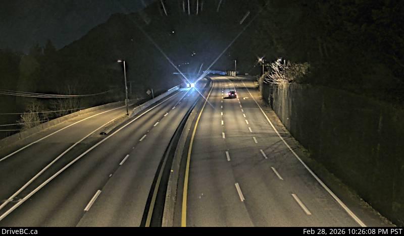 WorkingStill imageHighway 99, Lions Bay, looking north
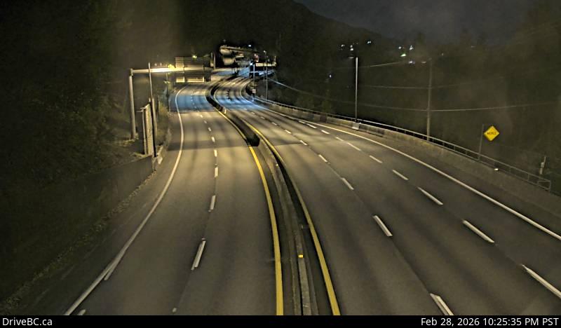 WorkingStill imageHighway 99, Lions Bay, looking south
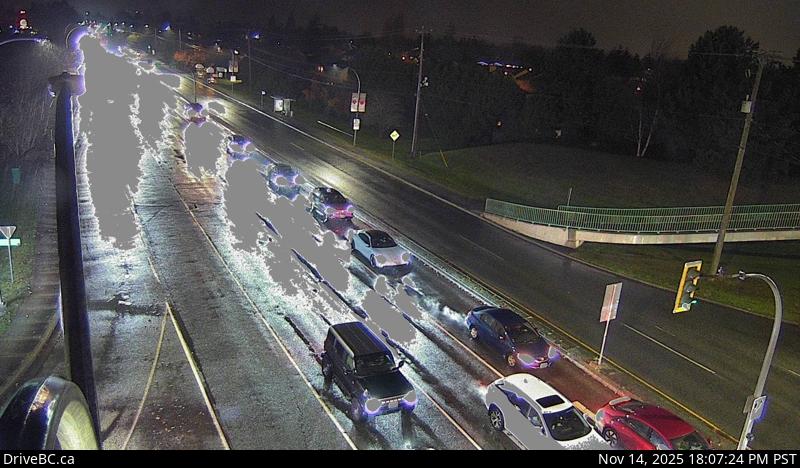 WorkingStill imageHighway 17A, Ladner, looking west
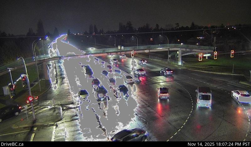 WorkingStill imageHighway 17A, Ladner, looking north
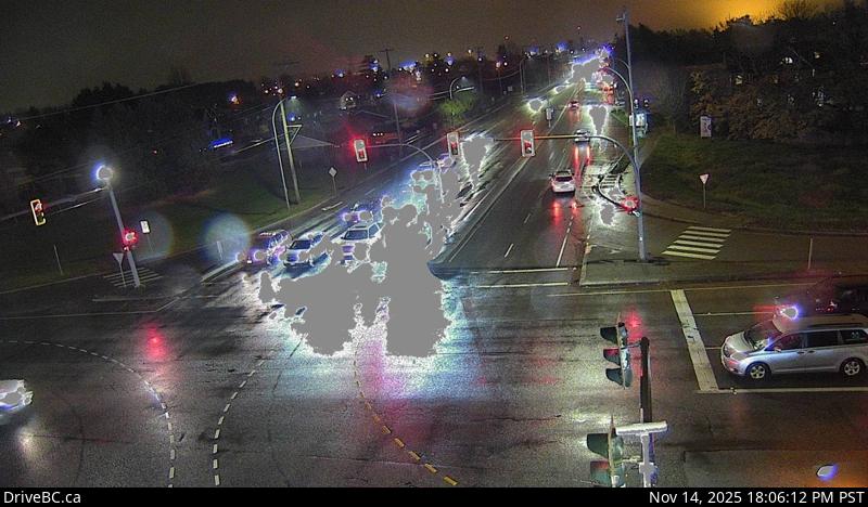 WorkingStill imageHighway 17A, Ladner, looking east
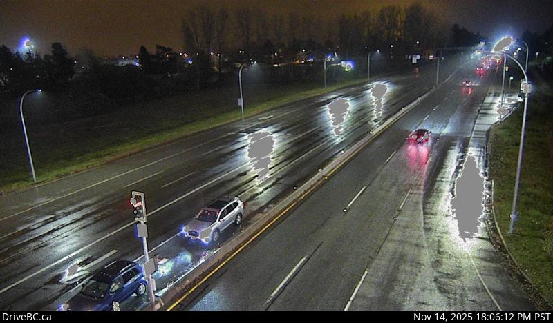 WorkingStill imageHighway 17A, Ladner, looking south
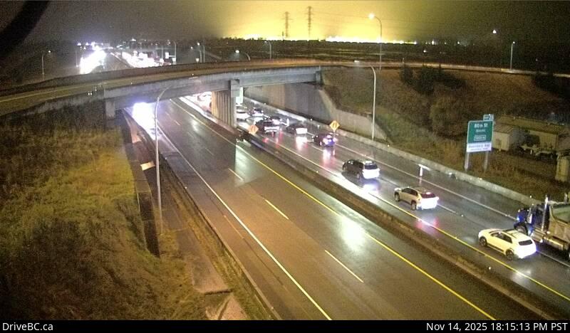 WorkingStill imageHighway 99, Hwy 99 at Hwy 17, looking east
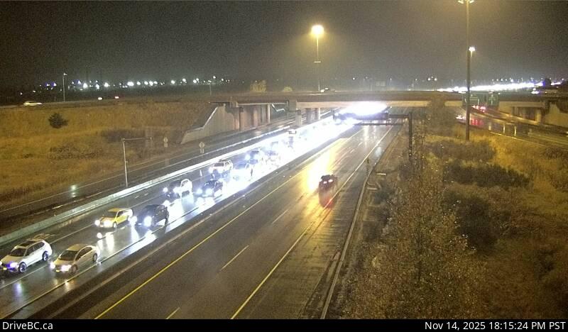 WorkingStill imageHighway 99, Hwy 99 at Hwy 17, looking west
 WorkingStill imageHighway 17A, Delta, looking south
 WorkingStill imageHighway 17A, Delta, looking north
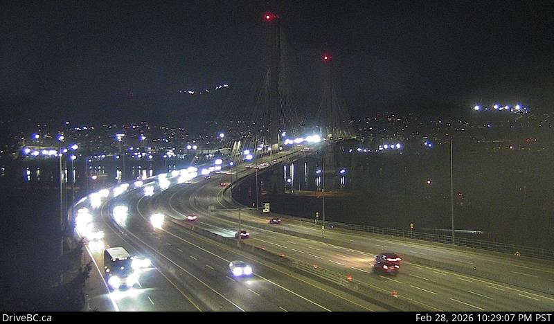 WorkingStill imageHighway 1, Port Mann Bridge, looking west
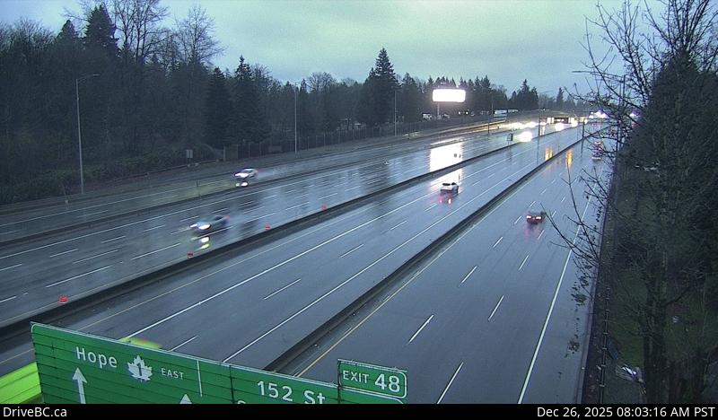 WorkingStill imageHighway 1, Port Mann Bridge, looking east
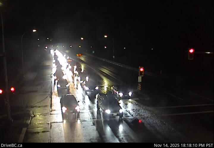 WorkingStill imageHighway 7B, Mary Hill Bypass at Shaughnessy, looking east
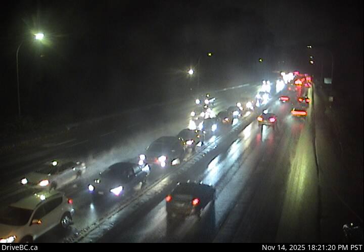 WorkingStill imageHighway 7B, Mary Hill Bypass at Shaughnessy, looking west
 OfflineStill imageHighway 91, Hwy 91 at 72 Avenue, looking east
 OfflineStill imageHighway 91, Hwy 91 at 72 Avenue, looking north
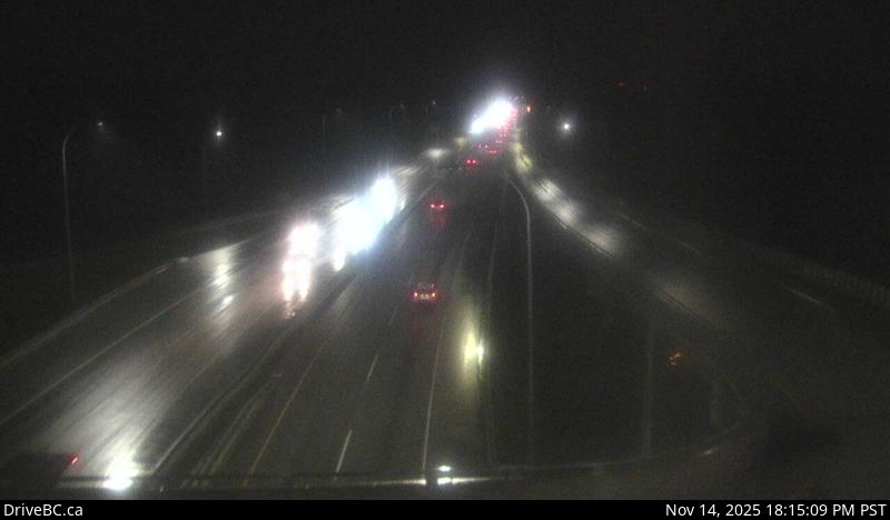 OfflineStill imageHighway 91, Hwy 91 at 72 Avenue, looking south
No live video among these cameras. Turn off "Live video only" to see them all.
Best cams to watch
- Highway 99, Georgia Street — Still image · every 4 min, working 100 % of the time in the last 30 days.
- Highway 99, Causeway — Still image · every 5 min, working 100 % of the time in the last 30 days.
- Highway 99, LGB North End 2 — Still image · every 5 min, working 100 % of the time in the last 30 days.
Vancouver is the largest city in British Columbia, with about 662,000 residents at the 2021 census and roughly 2.6 million in the Metro Vancouver region. It occupies the Burrard Peninsula between Burrard Inlet to the north and the Fraser River to the south, with the North Shore Mountains rising directly behind the harbor. The downtown peninsula is packed with glass towers, while Stanley Park, one of the largest urban parks in North America, covers its western tip with forest and a seawall path. Granville Island's public market, the old streets of Gastown and the beaches of English Bay and Kitsilano are favorite stops for visitors.
Unusually for a city of its size, Vancouver has almost no freeways inside its limits; public opposition stopped plans for urban expressways in the late 1960s and early 1970s. Traffic instead flows on wide arterial streets and a handful of bridges, which become the choke points at rush hour.
Bridges and provincial highways
The cameras on this page are DriveBC views from the provincial highway network, showing still images that update every few minutes. They focus on the routes that the province manages in and around the city. Highway 1, the Trans-Canada, runs along the eastern edge and crosses Burrard Inlet on the Ironworkers Memorial Bridge, while Highway 99 enters from the south over the Oak Street Bridge, passes through the city and leaves for the North Shore over the Lions Gate Bridge. These crossings are where queues form first on weekday mornings and summer weekends.
British Columbia's coast sets its watches to Pacific Time, adding an hour of evening light from March. Most rain falls between November and March, often for many days in a row, while July and August are usually dry and pleasant, with highs near 22 degrees Celsius. At this latitude midsummer dusk lingers past nine thirty, while the shortest days end around a quarter past four. In late July and early August, the Celebration of Light fireworks over English Bay draw huge crowds downtown.
Across the inlet, North Vancouver and the Capilano Suspension Bridge are a short drive away, and Richmond and the airport lie to the south across the Fraser.
Sources: Vancouver - Wikipedia · DriveBC.
Nearby places
- Surrey (212)
- Fleetwood (126)
- New Westminster (111)
- Langley (107)
- Burnaby (102)
- Delta (78)
- Maple Ridge (76)
- Richmond (76)
Questions about Vancouver
How many cameras does LiveLocation have in Vancouver?
LiveLocation lists 123 cameras in and around Vancouver, Canada: 0 live video, 123 still images. 120 of them were live or showing a fresh image at the last check.
Where do the Vancouver cameras come from?
All of them come from DriveBC (123). Each camera plays straight from the agency or owner that runs it, with credit. DriveBC
What kinds of views are there in Vancouver?
The views are traffic and highway (110) and bridge (13). Good ones to start with: Highway 99, Georgia Street and Highway 99, Causeway. Highway 99, Georgia Street Highway 99, Causeway
Is there live video from Vancouver?
Not yet: the cameras here send still images that refresh about every 13 minutes. The map can show only live-video cameras nearby. Live video on the map
When is the best time to watch the Vancouver cameras?
Vancouver is on America/Vancouver time. On October 7 the sun rises at 7:21 AM and sets at 6:38 PM, so still images are clearest between those times. Road cameras show the most traffic in the weekday morning and evening rush hours.
Are there live cameras near Vancouver?
The nearest are Riley Park (4.8 km away, 17 cameras), North Vancouver (5.3 km away, 48 cameras) and West Vancouver (5.9 km away, 27 cameras). Riley Park North Vancouver West Vancouver
Is there a map of the cameras in Vancouver?
The map at the top of this page shows all 123 of them. The live camera radar centers on Vancouver and lists every camera within 5 to 250 km, nearest first, with filters for live video, traffic, nature and more. Open the radar on Vancouver
Place names and locations: GeoNames, licensed under CC BY 4.0.