Live cameras in Fleetwood, Canada
133 cameras: 0 live video, 133 still images · 126 working now · updated Oct 8, 03:31 UTC
Fleetwood has 133 live cameras on LiveLocation right now: 0 live video, 133 still images. Good places to start: Highway 15, Hwy 15 at 88 Avenue, looking east, Highway 15, Hwy 15 at 88 Avenue, looking south, Highway 15, Hwy 15 at 88 Avenue, looking north. Local time is 8:31 PM (America/Vancouver). Today the sun rises at 7:20 AM and sets at 6:37 PM.
Fleetwood live cameras
Watch Fleetwood live webcams: 0 live video, 133 still images. 126 of them were live or fresh at the last check. Fleetwood is home to about 66,000 people.
Weather now in Fleetwood: 13 °C (55 °F), mostly clear, wind 3 km/h (2 mph) from the south. Forecast for 9 PM local time. Weather: MET Norway (CC BY 4.0)
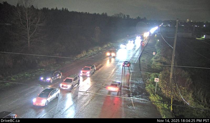 WorkingStill imageHighway 15, Hwy 15 at 88 Avenue, looking east
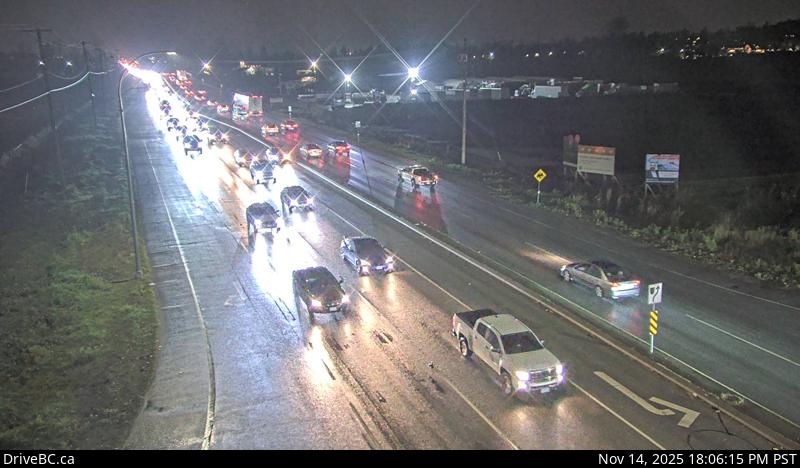 WorkingStill imageHighway 15, Hwy 15 at 88 Avenue, looking south
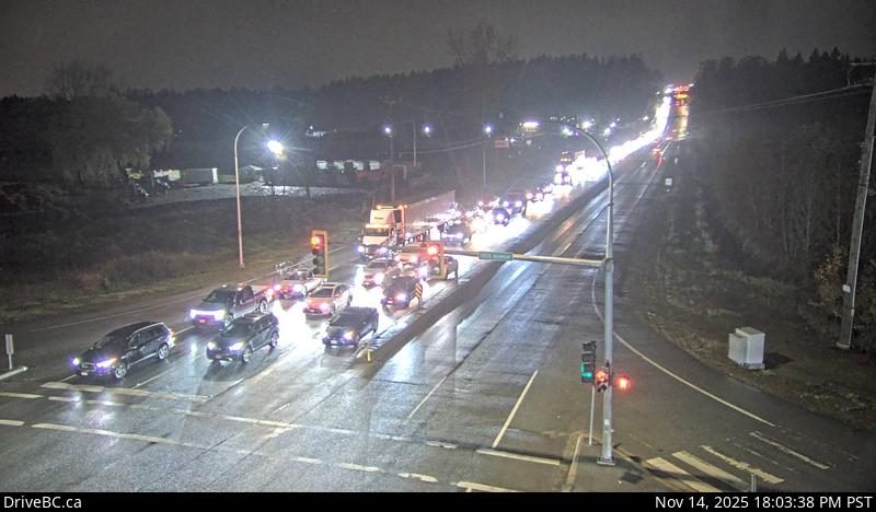 WorkingStill imageHighway 15, Hwy 15 at 88 Avenue, looking north
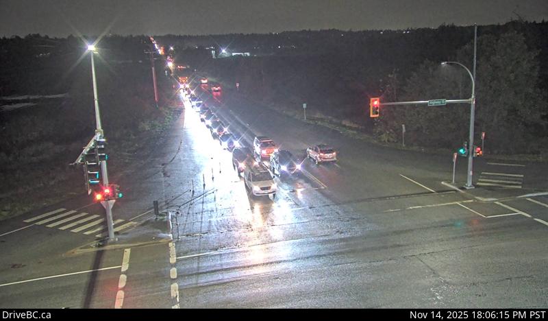 WorkingStill imageHighway 15, Hwy 15 at 88 Avenue, looking west
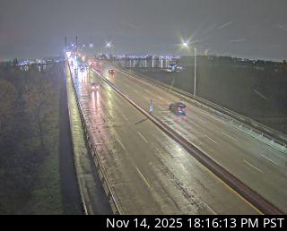
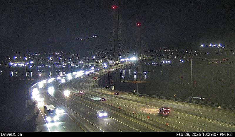 WorkingStill imageHighway 1, Port Mann Bridge, looking west
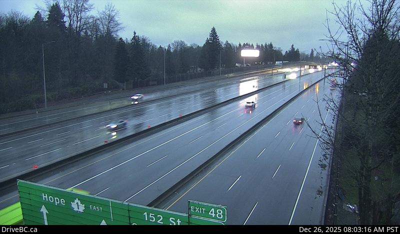 WorkingStill imageHighway 1, Port Mann Bridge, looking east
 WorkingStill imageHighway 1, Hwy 1 at 176 Street, looking east
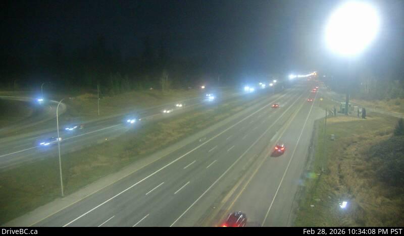 WorkingStill imageHighway 1, Hwy 1 at 176 Street, looking west
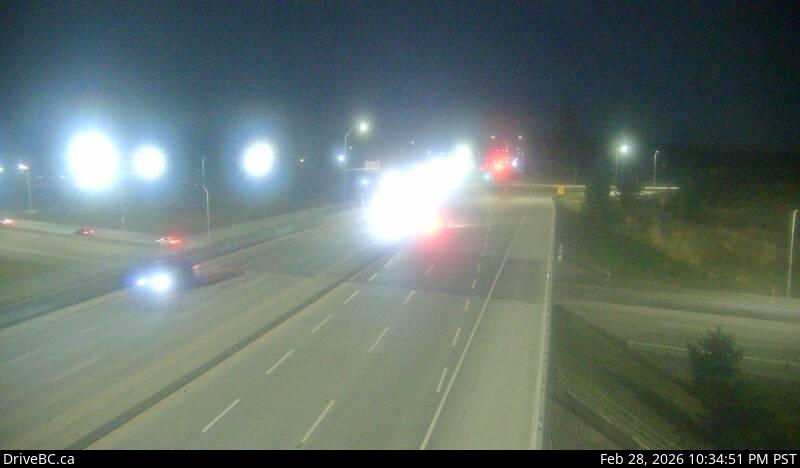 WorkingStill imageHighway 1, Hwy 1 at 176 Street, looking south
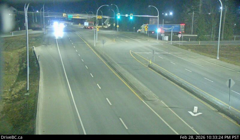 WorkingStill imageHighway 1, Hwy 1 at 176 Street, looking north
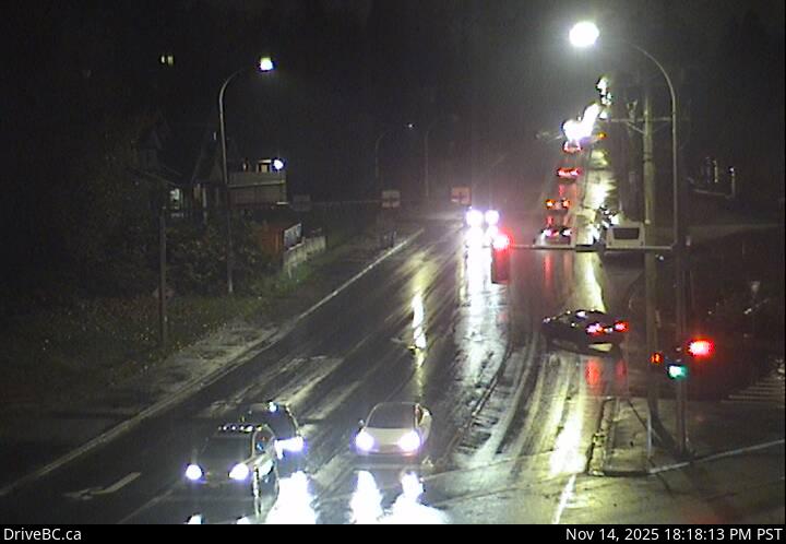 WorkingStill imageHighway 17, 104 Avenue at Hwy 17 westbound
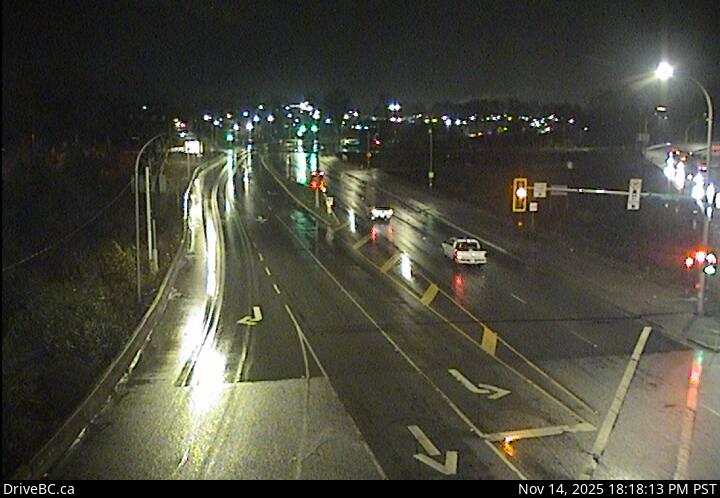 WorkingStill imageHighway 17, 104 Avenue at Hwy 17 eastbound
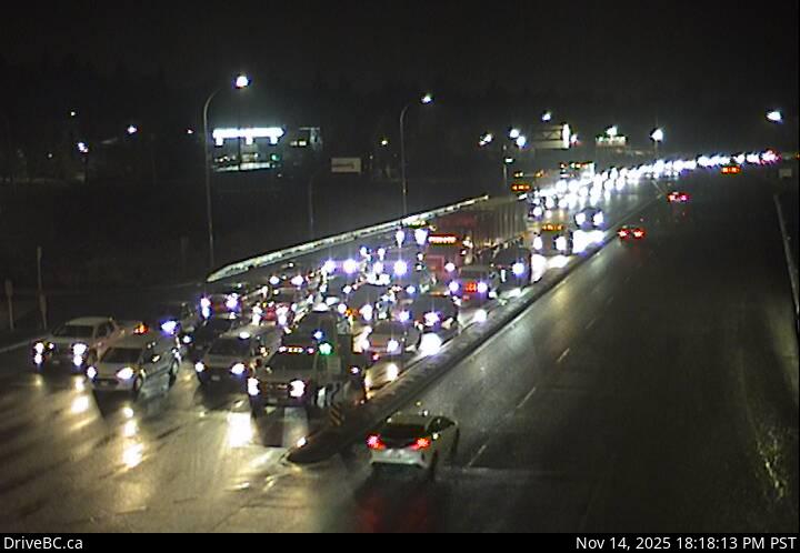 WorkingStill imageHighway 17, Hwy 17 at 104 Avenue eastbound
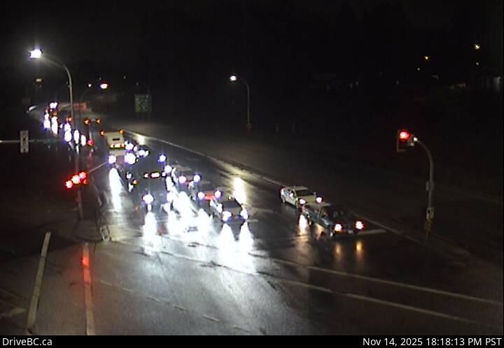 WorkingStill imageHighway 17, Hwy 17 at 104 Avenue southbound
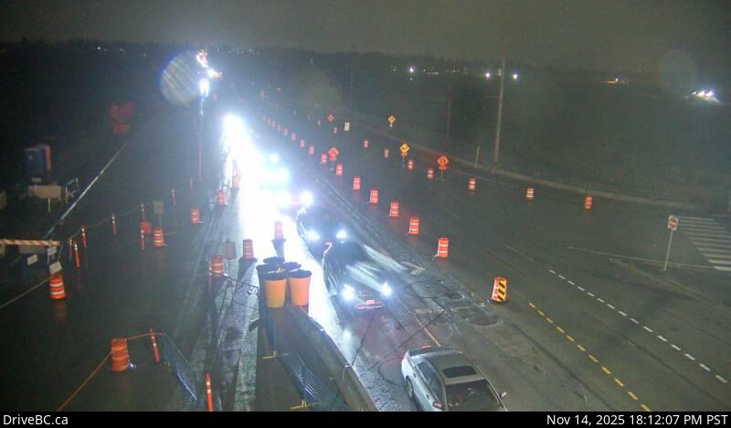 WorkingStill imageHighway 15, Hwy 15 at Fraser Highway, looking northwest
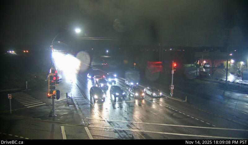 WorkingStill imageHighway 15, Hwy 15 at Fraser Highway, looking north
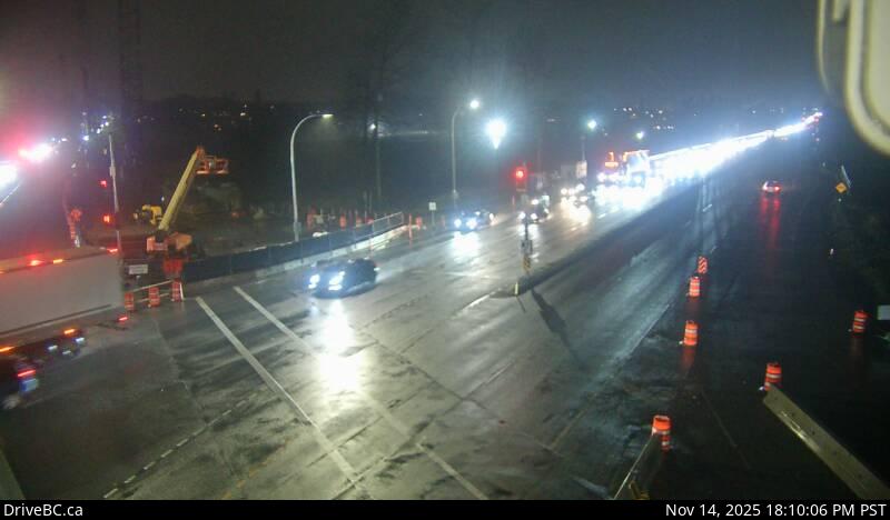 WorkingStill imageHighway 15, Hwy 15 at Fraser Highway, looking south
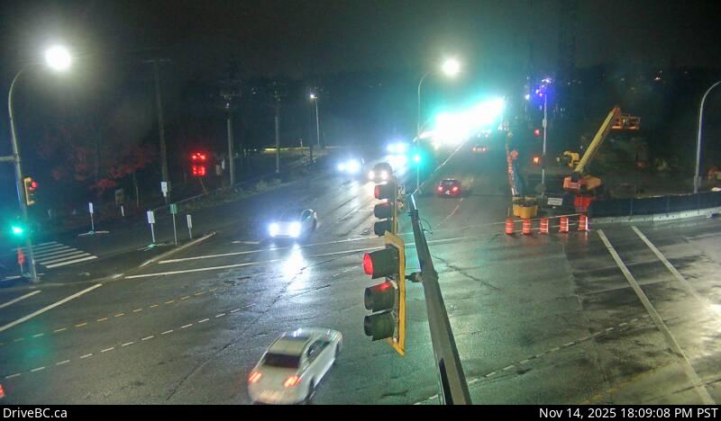 WorkingStill imageHighway 15, Hwy 15 at Fraser Highway, looking southeast
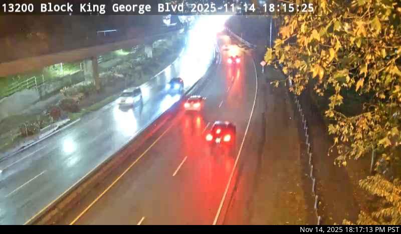 WorkingStill imageHighway 99A, Bridge Approach
 WorkingStill imageBarnston Island, looking north
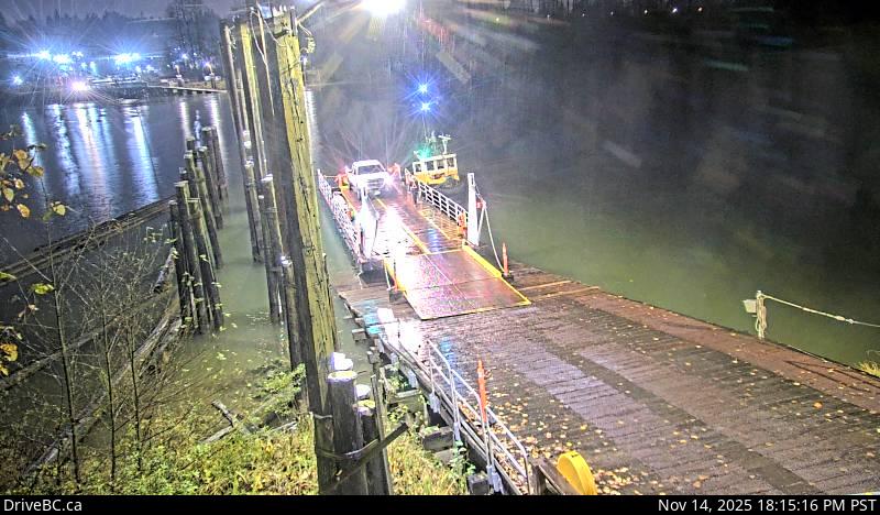 WorkingStill imageBarnston Island, looking west
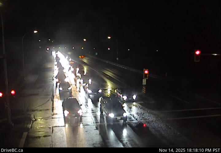 WorkingStill imageHighway 7B, Mary Hill Bypass at Shaughnessy, looking east
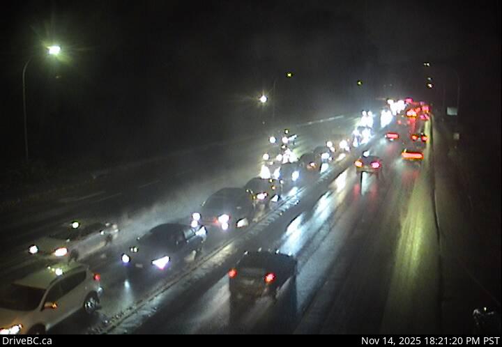 WorkingStill imageHighway 7B, Mary Hill Bypass at Shaughnessy, looking west
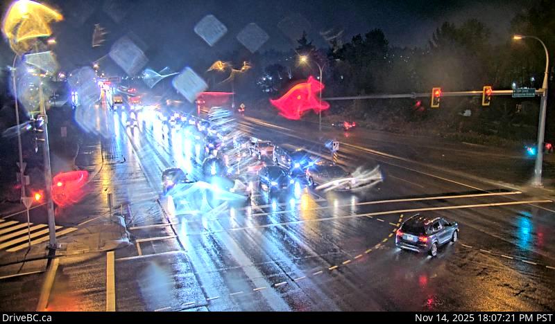 WorkingStill imageHighway 17, Bridgeview Drive, looking east
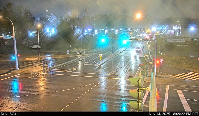 WorkingStill imageHighway 17, Bridgeview Drive, looking south
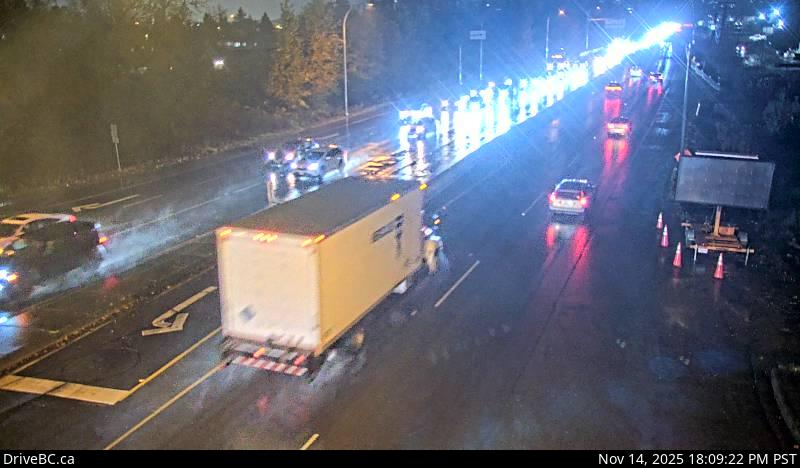 WorkingStill imageHighway 17, Bridgeview Drive, looking west
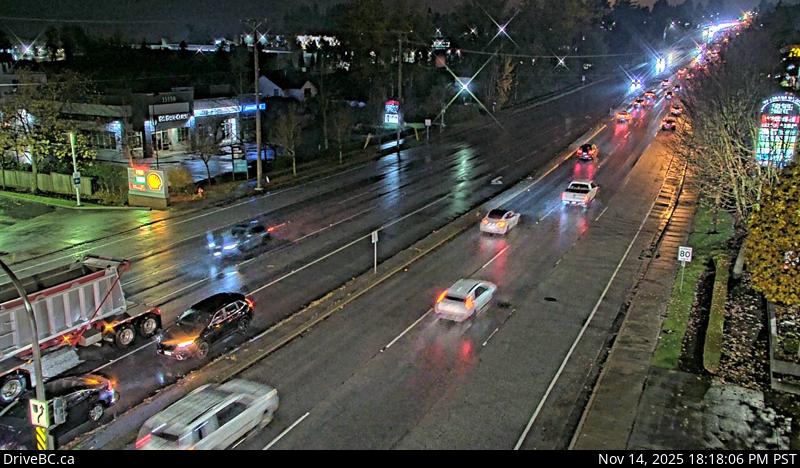 WorkingStill imageHighway 10, Hwy 10 at 152 Street, looking west
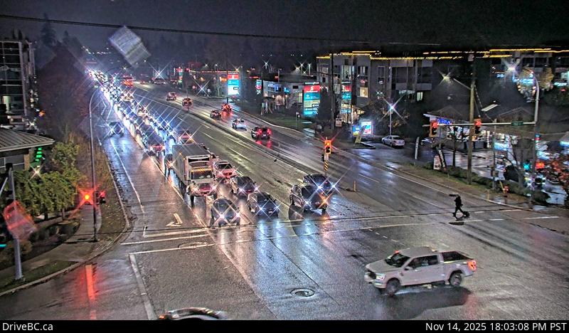 WorkingStill imageHighway 10, Hwy 10 at 152 Street, looking east
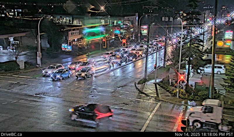 WorkingStill imageHighway 10, Hwy 10 at 152 Street, looking south
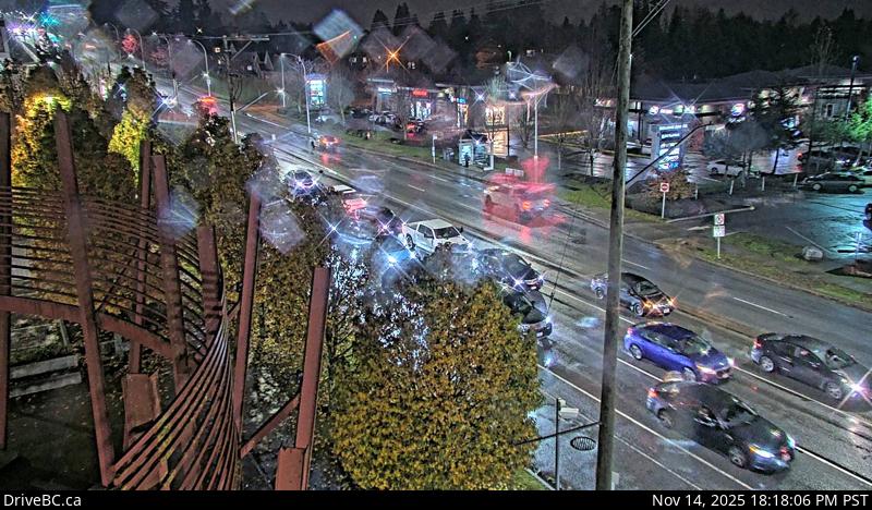 WorkingStill imageHighway 10, Hwy 10 at 152 Street, looking north
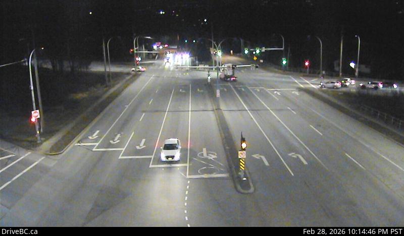 WorkingStill imageHighway 10, Hwy 10 at King George Boulevard, looking south
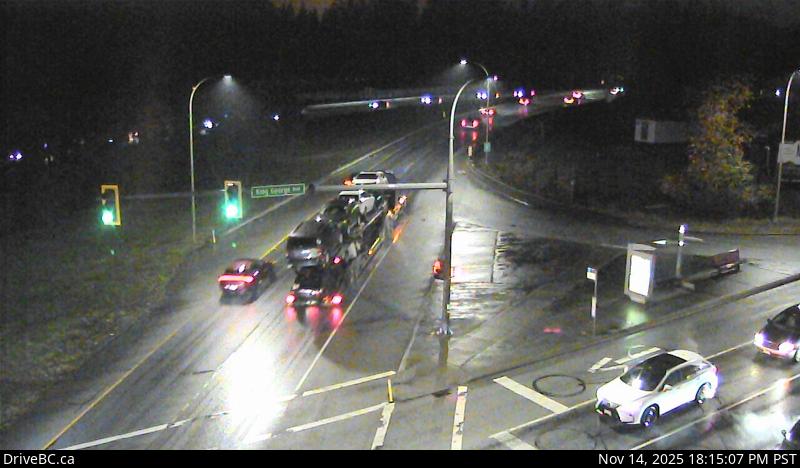 WorkingStill imageHighway 10, Hwy 10 at King George Boulevard, looking west
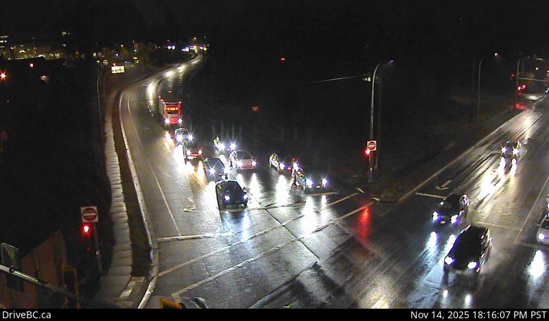 WorkingStill imageHighway 10, Hwy 10 at King George Boulevard, looking east
 WorkingStill imageHighway 10, Hwy 10 at King George Boulevard, looking north
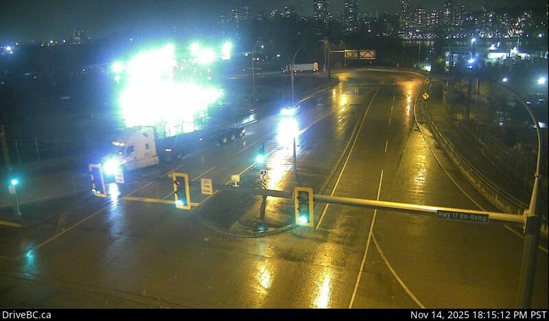 WorkingStill imageHighway 17, Tannery Road, looking north
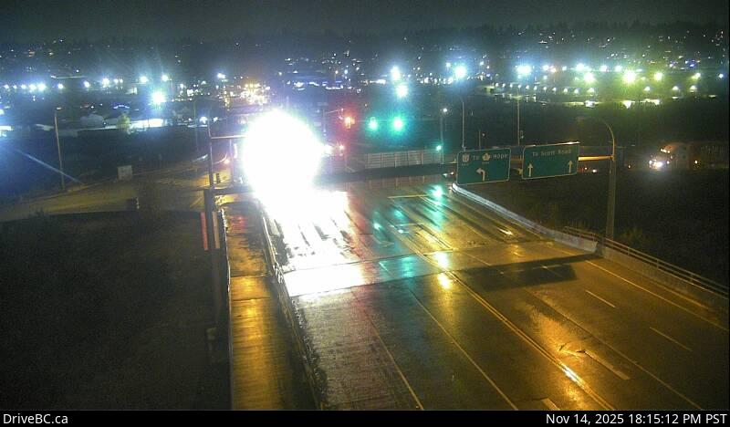 WorkingStill imageHighway 17, Tannery Road, looking south
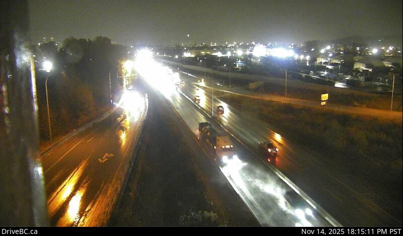 WorkingStill imageHighway 17, Tannery Road, looking east
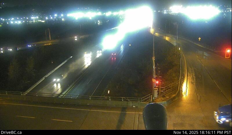 WorkingStill imageHighway 17, Tannery Road, looking west
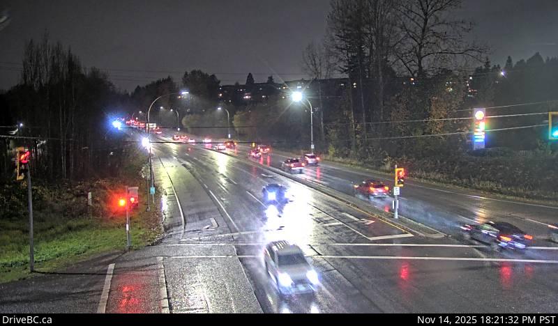 WorkingStill imageHighway 7B, Pitt River Road, looking west
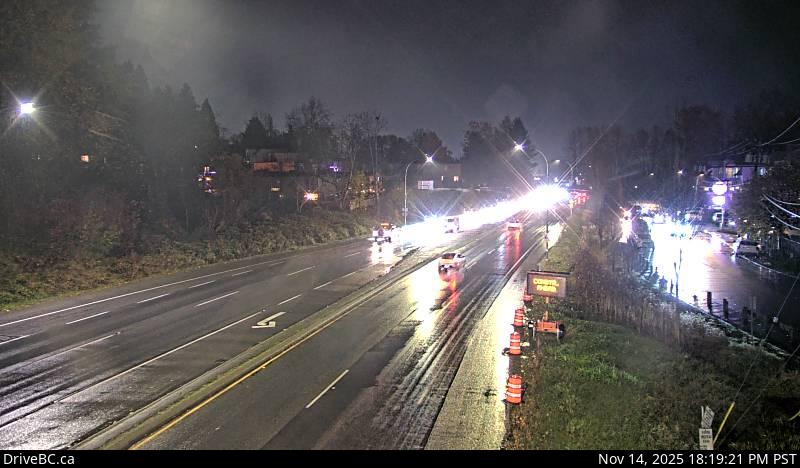 WorkingStill imageHighway 7B, Pitt River Road, looking east
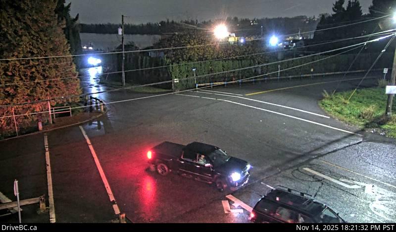 WorkingStill imageHighway 7B, Pitt River Road, looking south
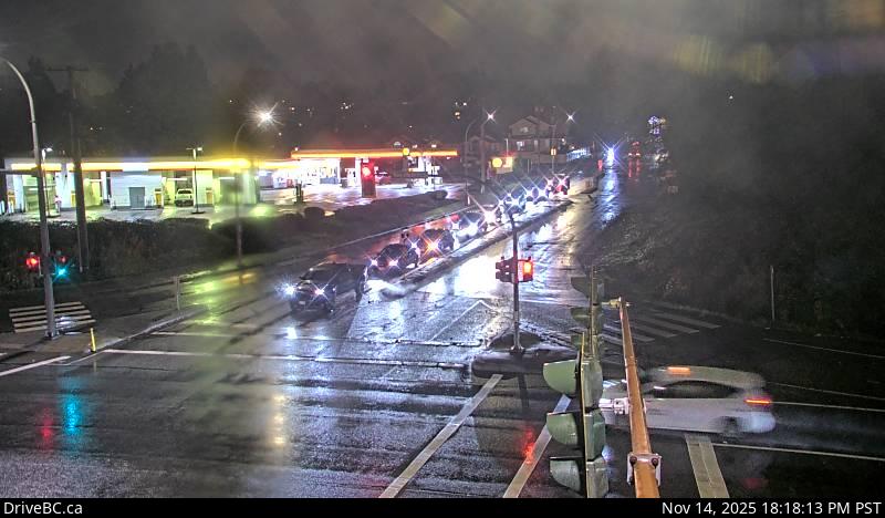 WorkingStill imageHighway 7B, Pitt River Road, looking north
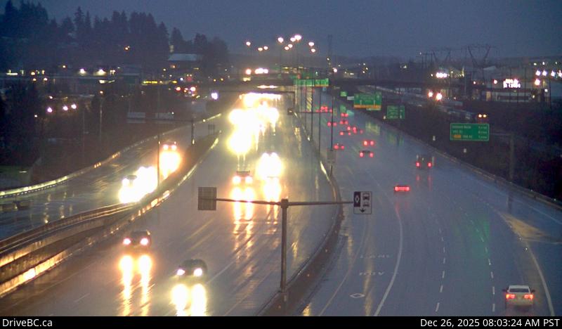 WorkingStill imageHighway 1, Coquitlam
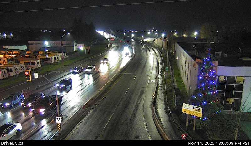 WorkingStill imageHighway 15, Hwy 15 at Hwy 10, looking south
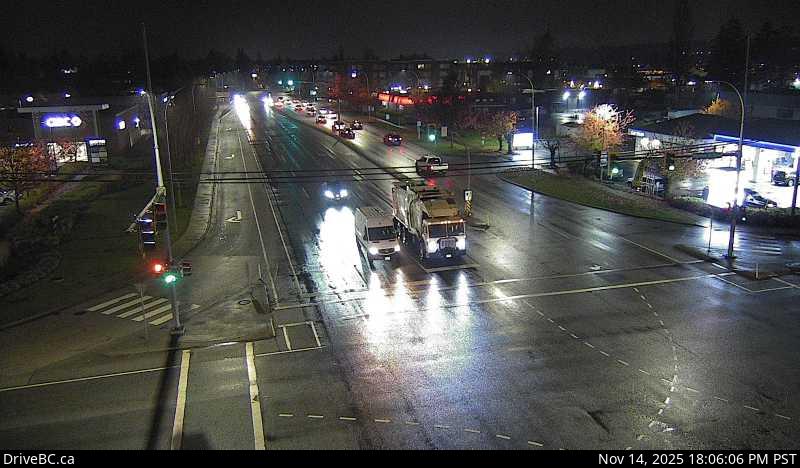 WorkingStill imageHighway 15, Hwy 15 at Hwy 10, looking north
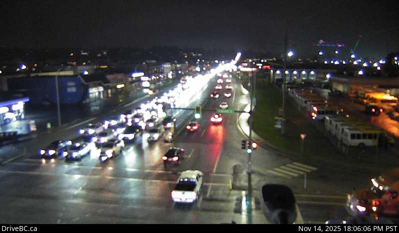 WorkingStill imageHighway 15, Hwy 15 at Hwy 10, looking east
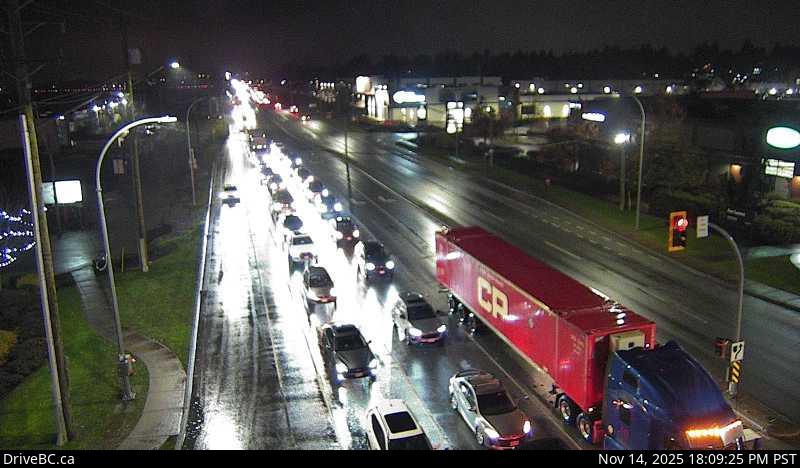 WorkingStill imageHighway 15, Hwy 15 at Hwy 10, looking west
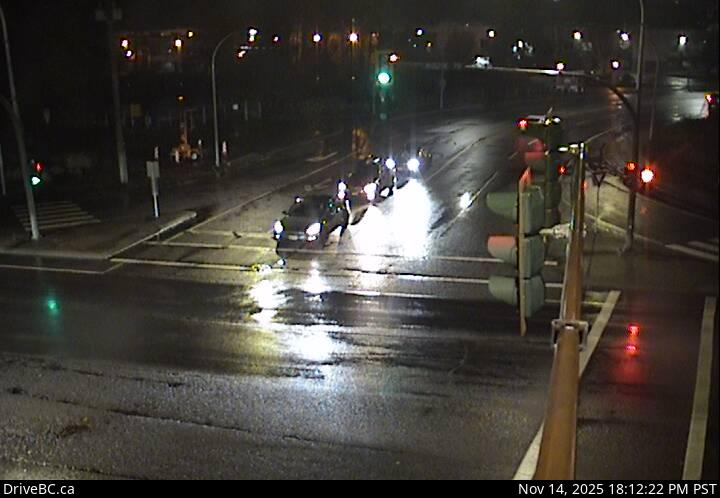 WorkingStill imageHighway 7B, Mary Hill Bypass at Broadway, looking north
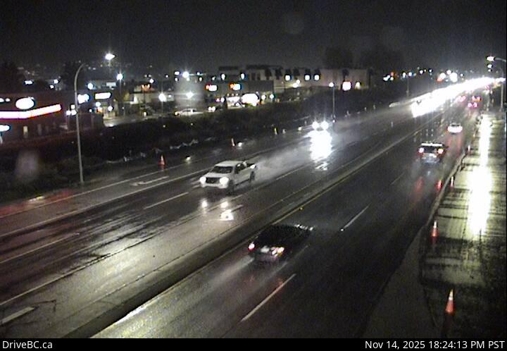 WorkingStill imageHighway 7B, Mary Hill Bypass at Broadway, looking east
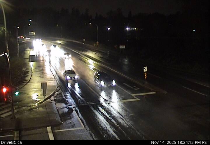 WorkingStill imageHighway 7B, Mary Hill Bypass at Broadway, looking west
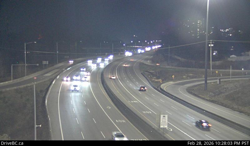 WorkingStill imageHighway 1, Brunette
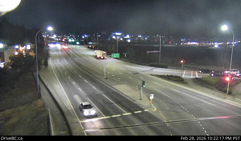 WorkingStill imageHighway 1, Hwy 1 at 200 Street, looking north
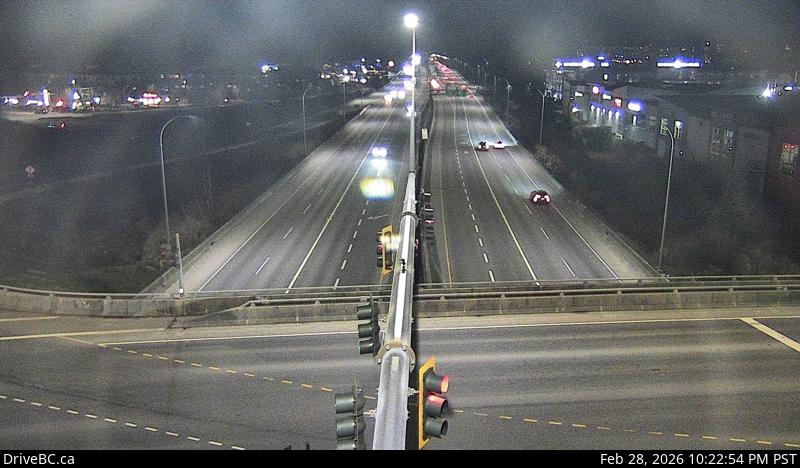 WorkingStill imageHighway 1, Hwy 1 at 200 Street, looking east
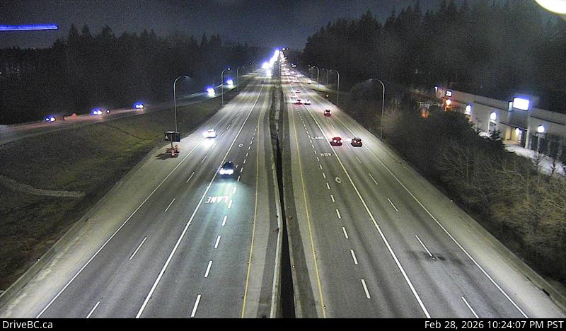 WorkingStill imageHighway 1, Hwy 1 at 200 Street, looking west
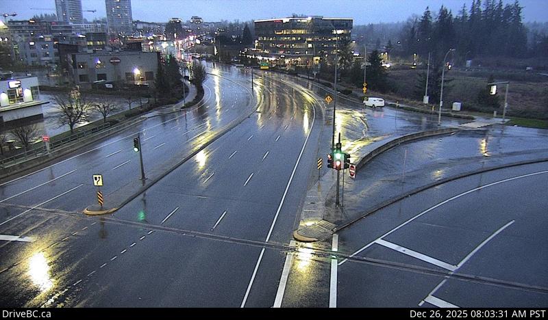 WorkingStill imageHighway 1, Hwy 1 at 200 Street, looking south
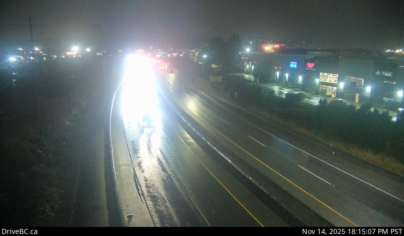 WorkingStill imageHighway 7B, Mary Hill Bypass, looking west
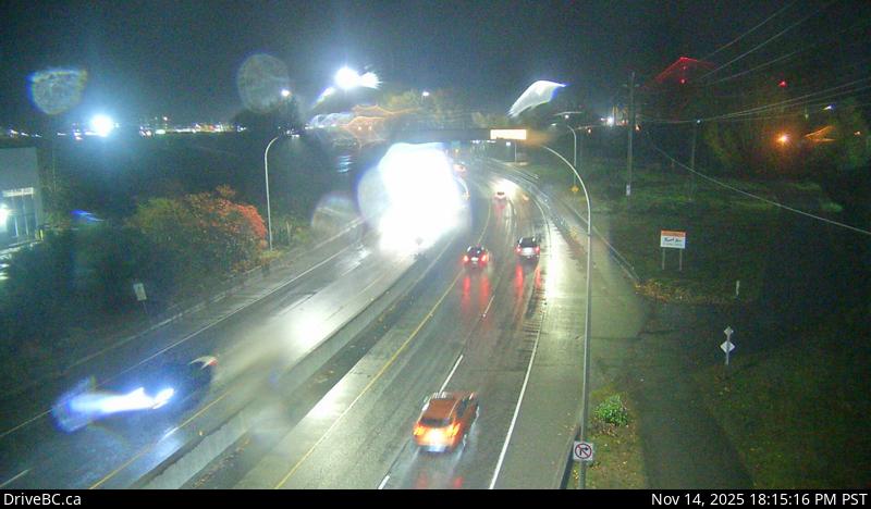 WorkingStill imageHighway 7B, Mary Hill Bypass, looking east
 WorkingStill imageGolden Ears Way at 199A Avenue and 200 Street
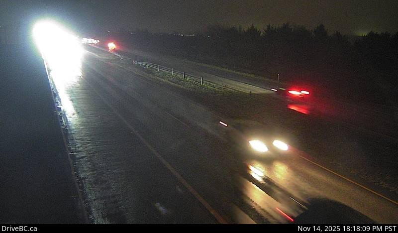 WorkingStill imageHighway 99, Hwy 99 at Mud Bay, looking east
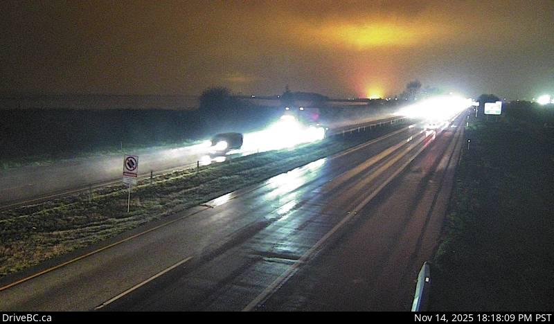 WorkingStill imageHighway 99, Hwy 99 at Mud Bay, looking west
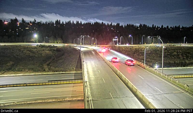 WorkingStill imageHighway 91, Hwy 91 Connector at Nordel Way, looking east
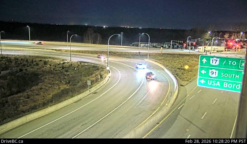 WorkingStill imageHighway 91, Hwy 91 Connector at Nordel Way, looking west
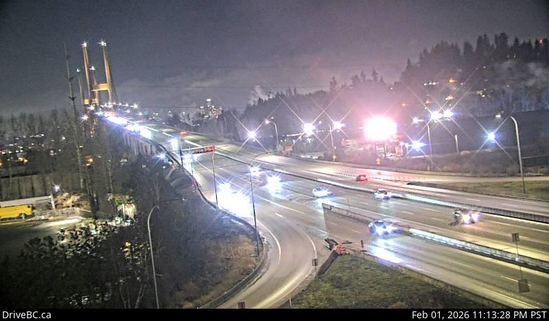 WorkingStill imageHighway 91, Hwy 91 Connector at Nordel Way, looking north
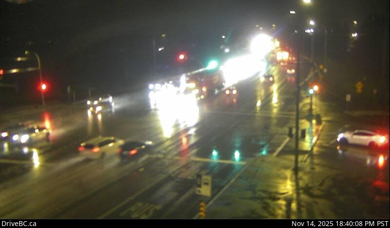 WorkingStill imageHighway 7, Lougheed Highway
 WorkingStill imageHighway 7, Pitt Meadows
 WorkingStill imageHighway 7, Lougheed at Kennedy Road
 WorkingStill imageHighway 91, Alex Fraser Bridge, looking south
 WorkingStill imageHighway 91, Alex Fraser Bridge, looking north
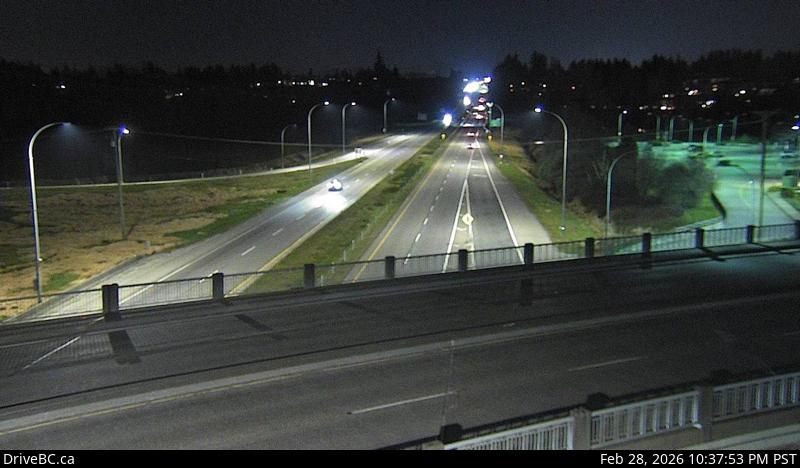 WorkingStill imageHighway 99, Hwy 99 at King George Boulevard, looking south
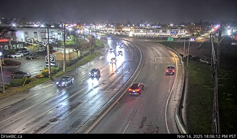 WorkingStill imageHighway 10, Hwy 10 at 192 Street, looking east
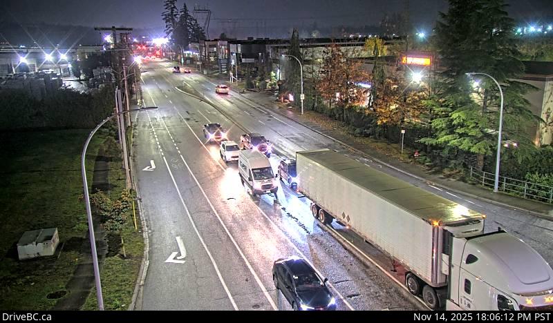 WorkingStill imageHighway 10, Hwy 10 at 192 Street, looking south
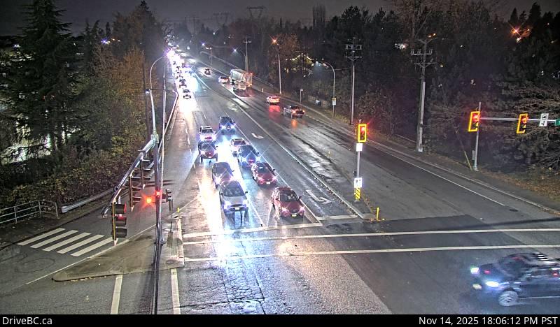 WorkingStill imageHighway 10, Hwy 10 at 192 Street, looking west
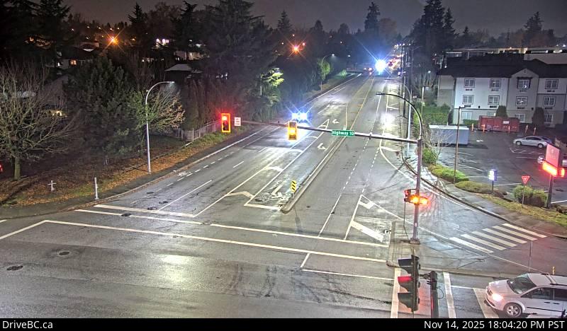 WorkingStill imageHighway 10, Hwy 10 at 192 Street, looking north
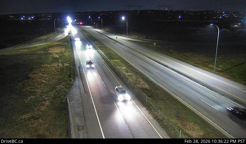 WorkingStill imageHighway 99, Hwy 99 at King George Boulevard, looking north
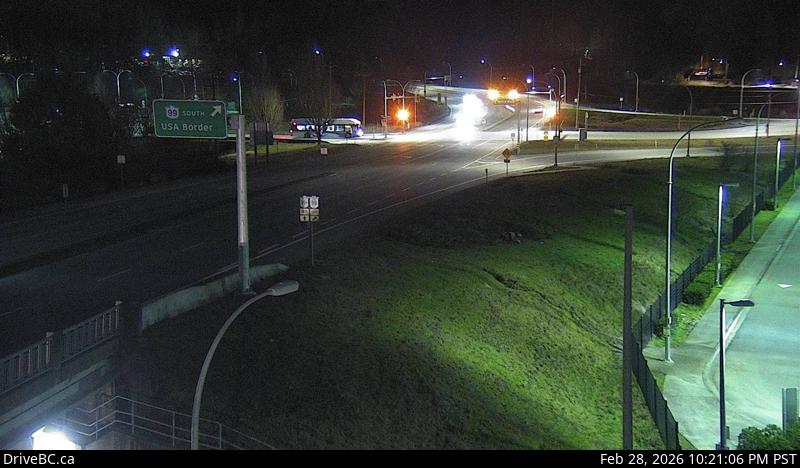 WorkingStill imageHighway 99, Hwy 99 at King George Boulevard, looking west
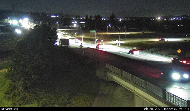 WorkingStill imageHighway 99, Hwy 99 at King George Boulevard, looking east
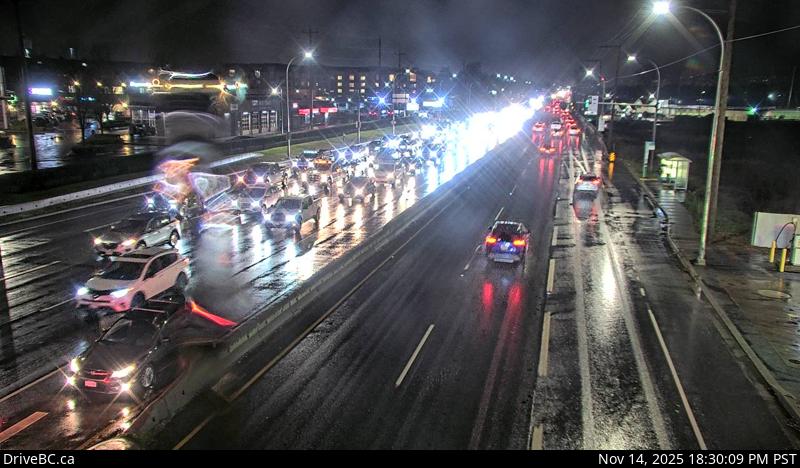 WorkingStill imageHighway 7, Lougheed at Harris Road, looking west
 WorkingStill imageHighway 7, Lougheed at Harris Road, looking north
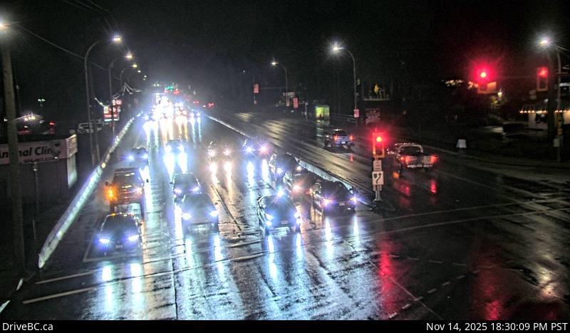 WorkingStill imageHighway 7, Lougheed at Harris Road, looking east
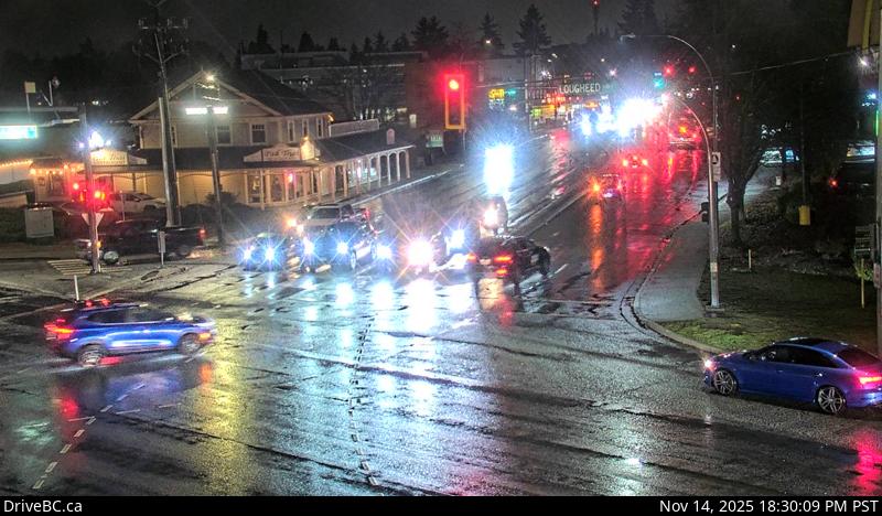 WorkingStill imageHighway 7, Lougheed at Harris Road, looking south
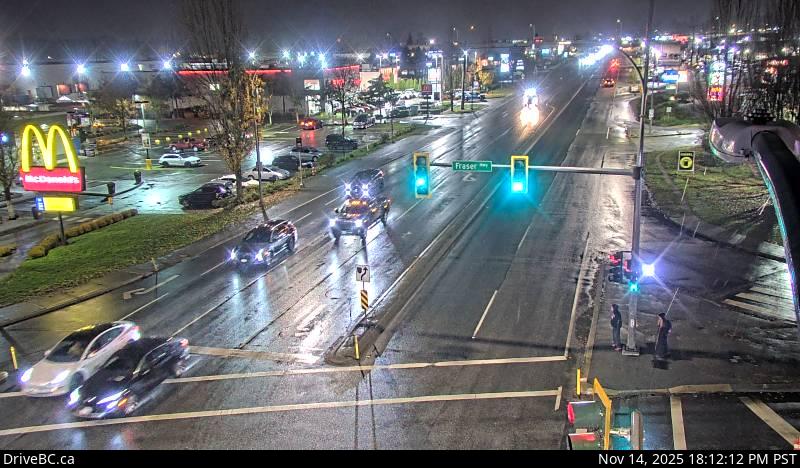 WorkingStill imageHighway 10, Hwy 10 at Fraser Highway, looking southwest
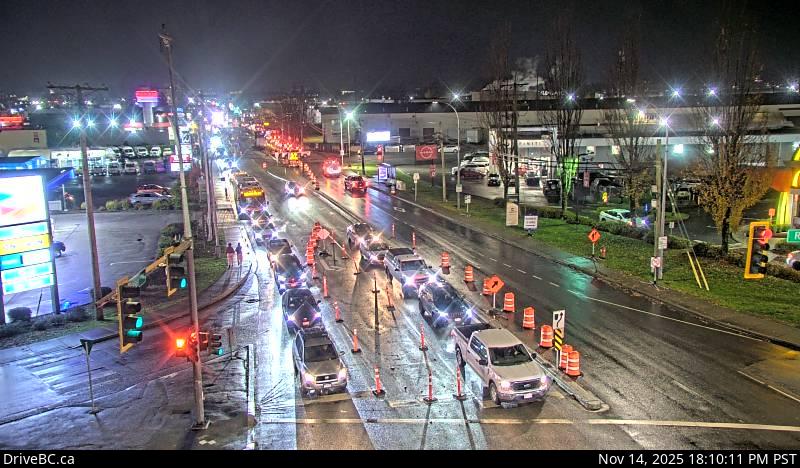 WorkingStill imageHighway 10, Hwy 10 at Fraser Highway, looking southeast
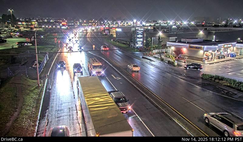 WorkingStill imageHighway 10, Hwy 10 at Fraser Highway, looking northeast
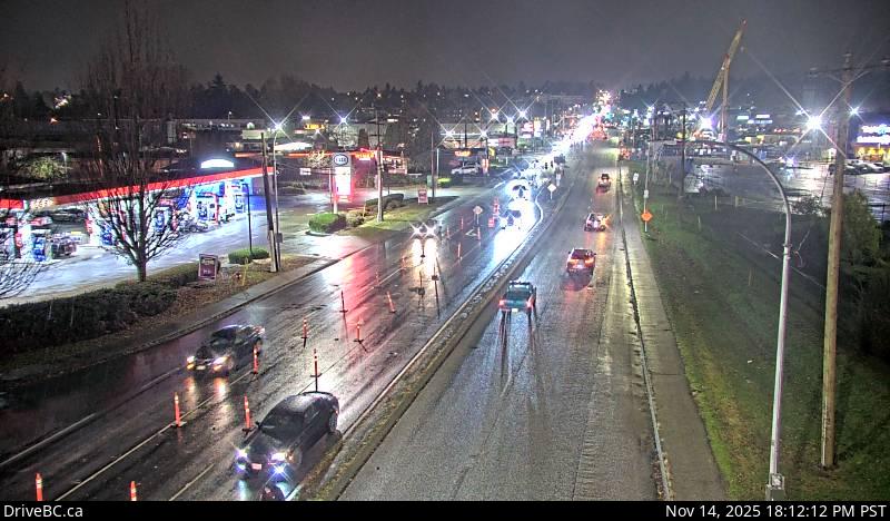 WorkingStill imageHighway 10, Hwy 10 at Fraser Highway, looking northwest
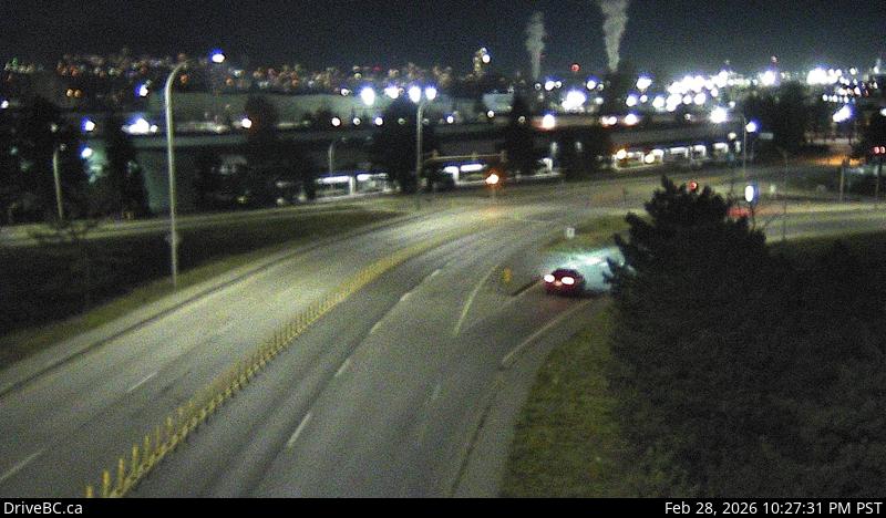 WorkingStill imageHighway 91, Annacis Island, looking east
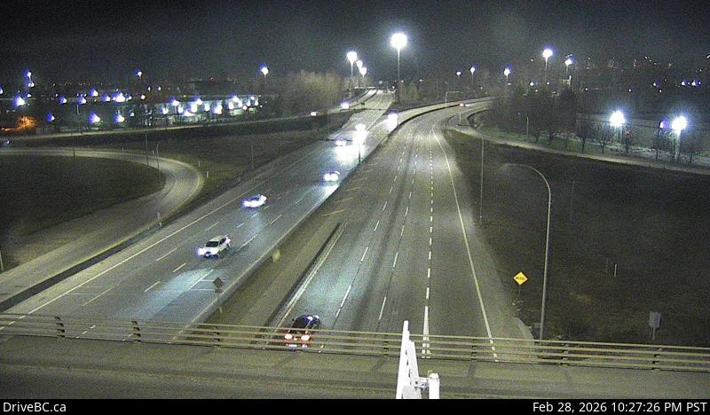 WorkingStill imageHighway 91, Annacis Island, looking north
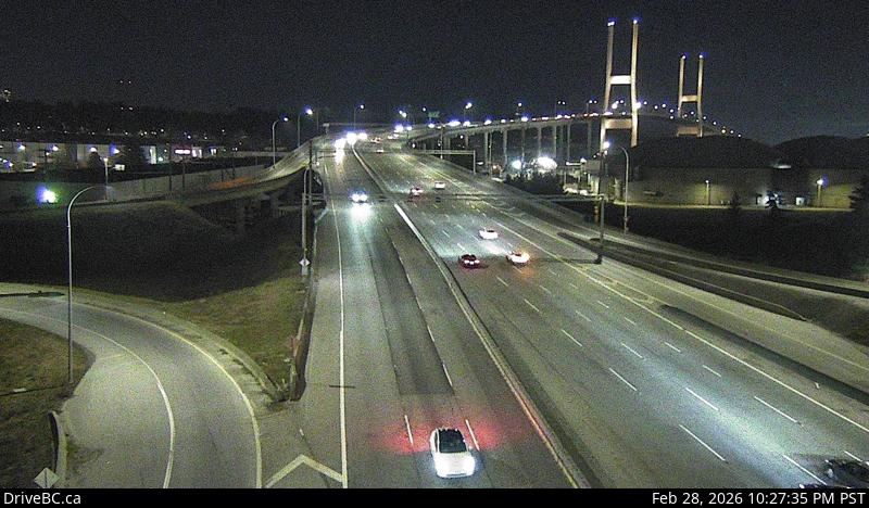 WorkingStill imageHighway 91, Annacis Island, looking south
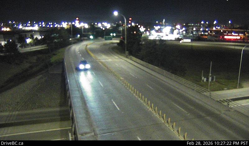 WorkingStill imageHighway 91, Annacis Island, looking west
 WorkingStill imageHighway 91A, Howes Street, looking west
 WorkingStill imageHighway 91A, Howes Street, looking east
 WorkingStill imageHighway 10, Hwy 10 at 200 Street, looking east
 WorkingStill imageHighway 10, Hwy 10 at 200 Street, looking west
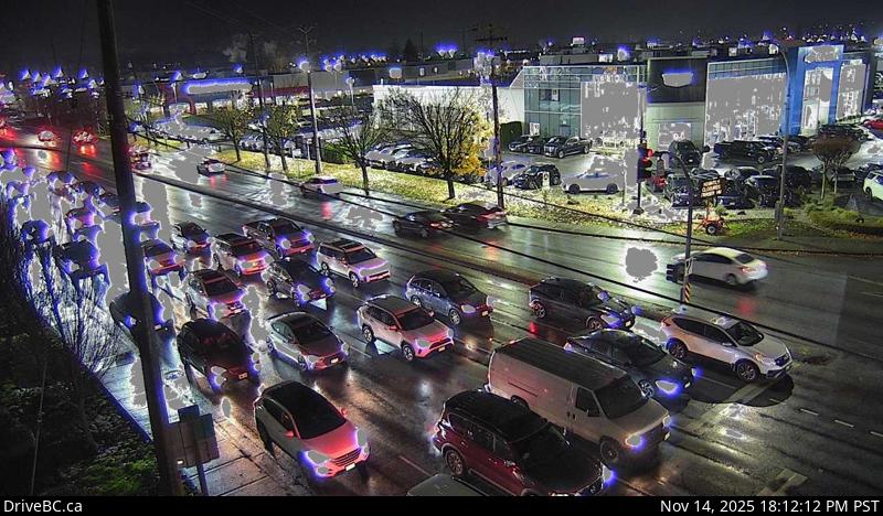 WorkingStill imageHighway 10, Hwy 10 at 200 Street, looking south
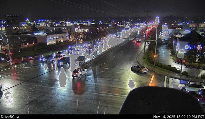 WorkingStill imageHighway 10, Hwy 10 at 200 Street, looking north
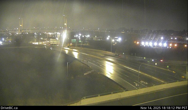 WorkingStill imageHighway 17, Hwy 17 at Hwy 91 Connector, looking east
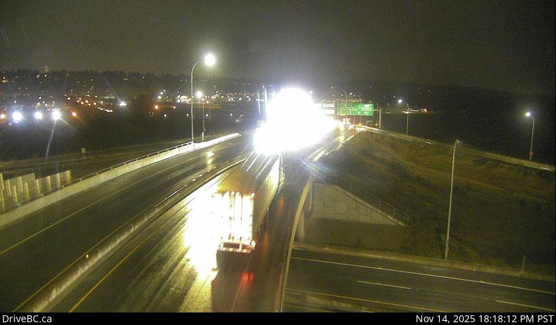 WorkingStill imageHighway 17, Hwy 17 at Hwy 91 Connector, looking north
 WorkingStill imageHighway 17, Hwy 17 at Hwy 91 Connector, looking south
 WorkingStill imageHighway 17, Hwy 17 at Hwy 91 Connector, looking west
 WorkingStill imageHighway 91A, Hwy 91A at Queensborough Bridge, looking south
 WorkingStill imageHighway 91A, Hwy 91A at Queensborough Bridge, looking east
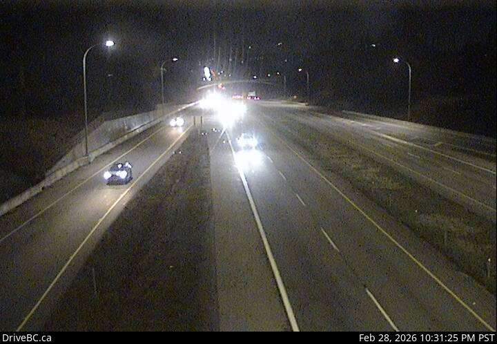 WorkingStill imageHighway 99, Hwy 99 - 32 Avenue Diversion, looking north
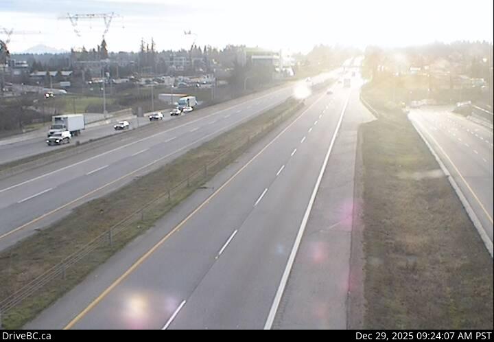 WorkingStill imageHighway 99, Hwy 99 - 32 Avenue Diversion, looking south
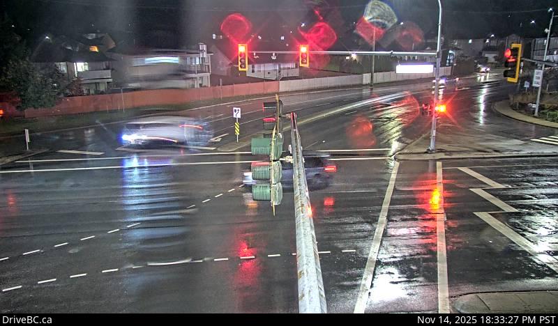 WorkingStill imageHighway 7, Lougheed at Dewdney Trunk Road, looking north
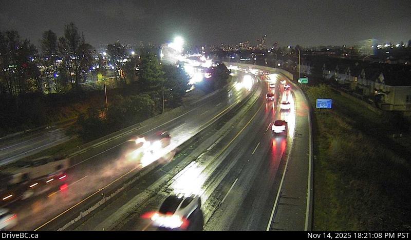 WorkingStill imageHighway 91A, Hwy 91A at Boundary Road, looking east
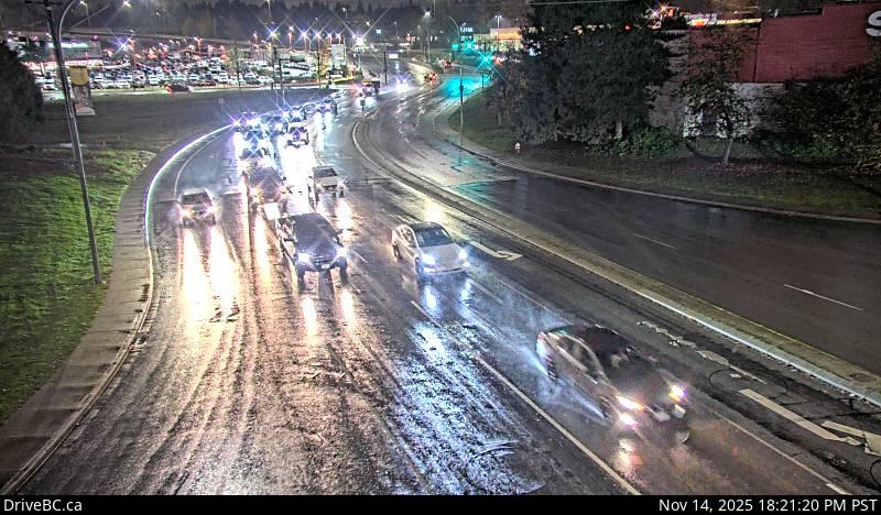 WorkingStill imageHighway 7, Lougheed at Maple Meadows Way, looking south
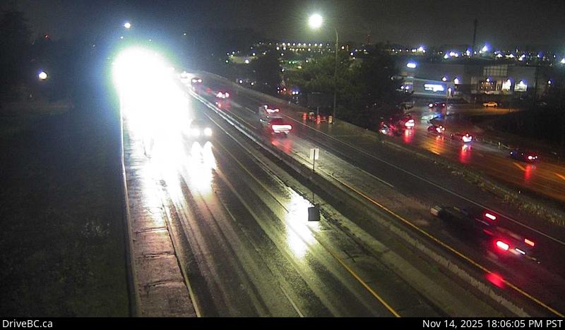 WorkingStill imageHighway 91A, Hwy 91A at Boundary Road, looking west
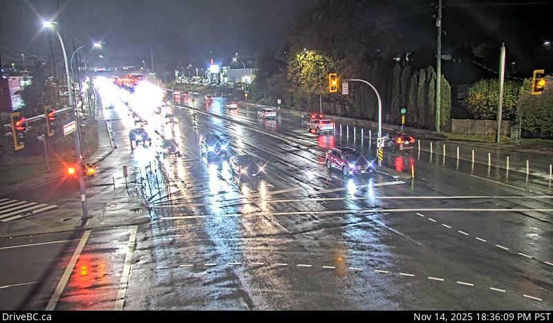 WorkingStill imageHighway 7, Lougheed at Dewdney Trunk Rd, looking west
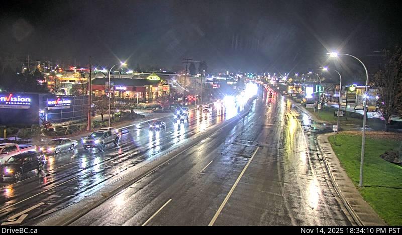 WorkingStill imageHighway 7, Lougheed at Dewdney Trunk Road, looking east
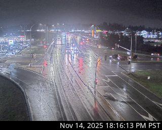 WorkingStill imageGolden Ears Way at Lougheed
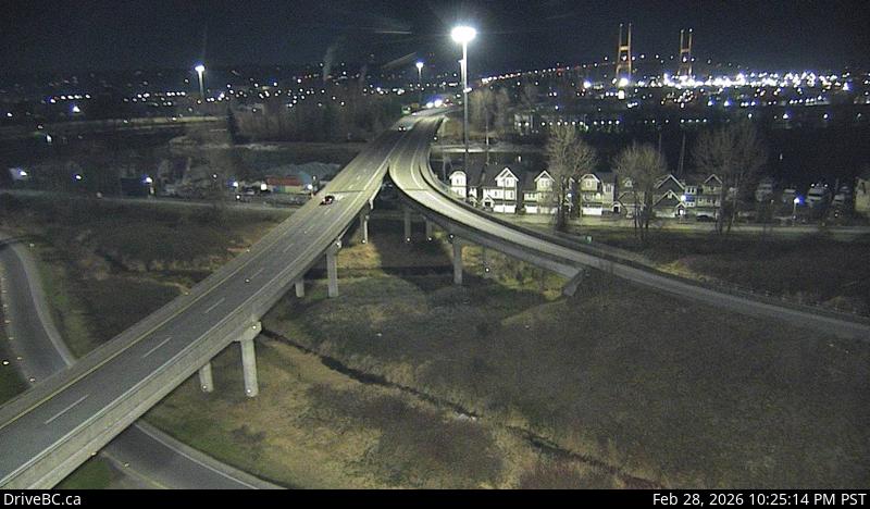 WorkingStill imageHighway 91, Alex Fraser Bridge Southbound
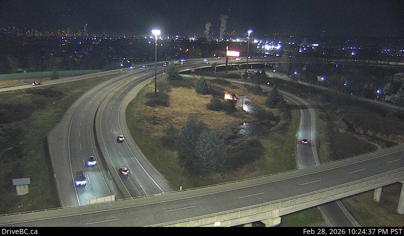 WorkingStill imageHighway 91, Annacis Channel Bridge Approach
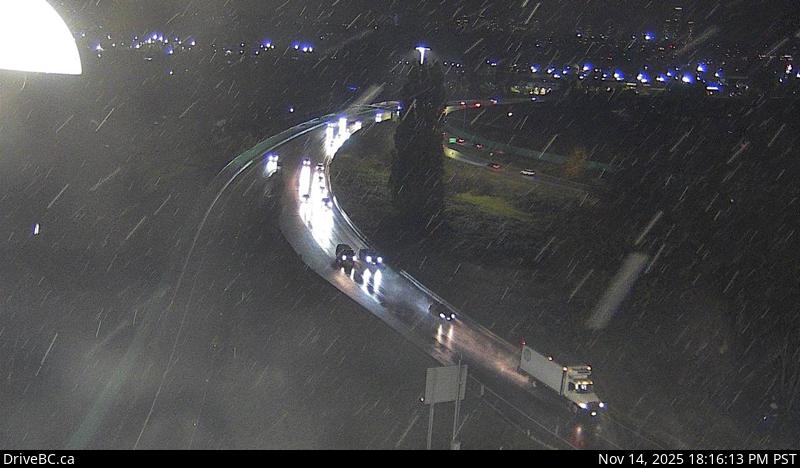 WorkingStill imageHighway 91A, Queensborough Connector
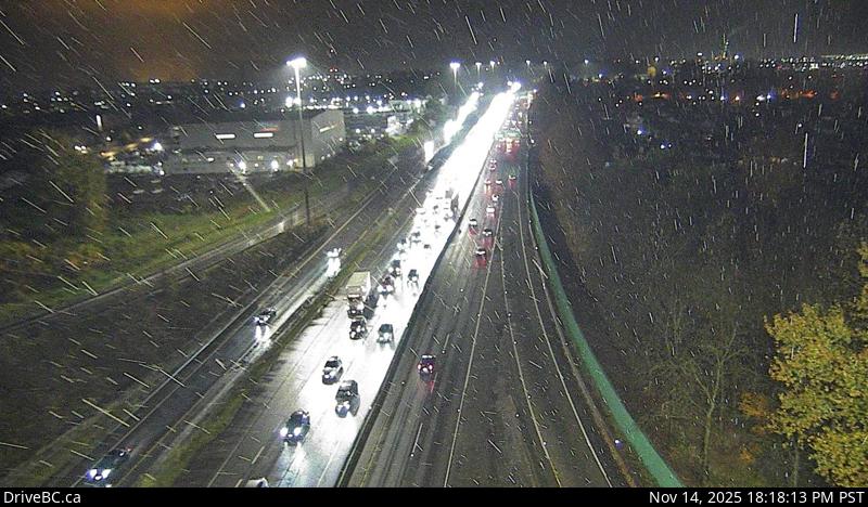 WorkingStill imageHighway 91, Hwy 91 East-West Connector, looking west
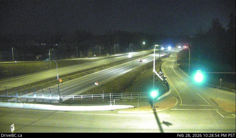 WorkingStill imageHighway 1, Hwy 1 at 216 Street, looking east
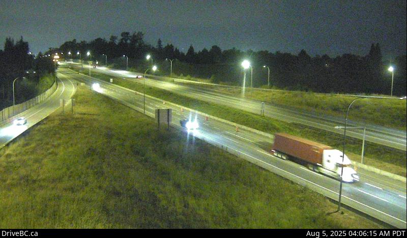 WorkingStill imageHighway 1, Hwy 1 at 216 Street, looking west
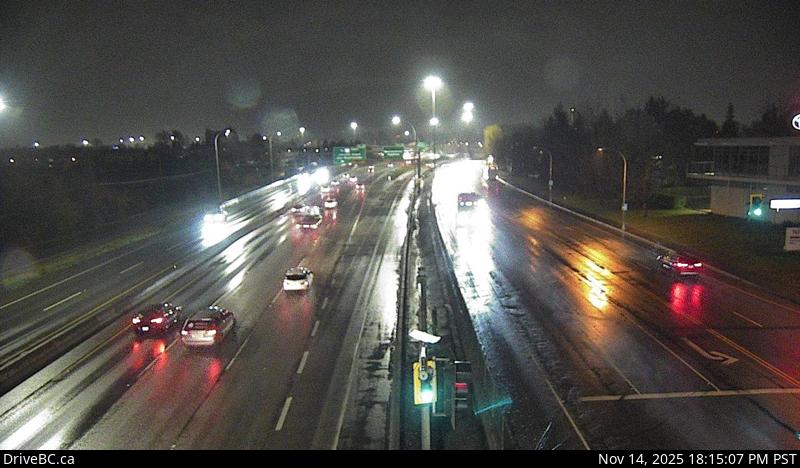 WorkingStill imageHighway 91, Hwy 91 at Fraserwood Way, looking east
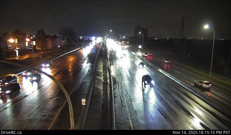 WorkingStill imageHighway 91, Hwy 91 at Fraserwood Way, looking west
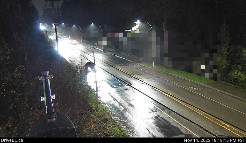 WorkingStill imageHighway 15, Hwy 15 at 24 Avenue, looking west
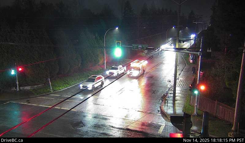 WorkingStill imageHighway 15, Hwy 15 at 24 Avenue, looking east
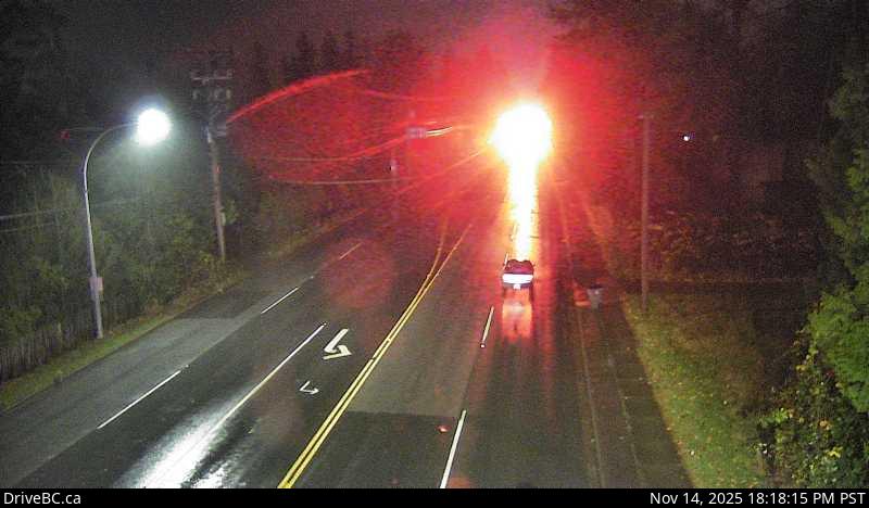 WorkingStill imageHighway 15, Hwy 15 at 24 Avenue, looking south
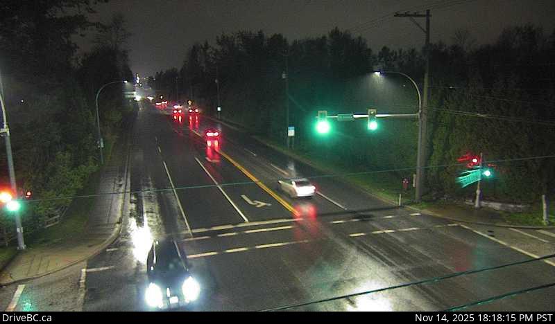 WorkingStill imageHighway 15, Hwy 15 at 24 Avenue, looking north
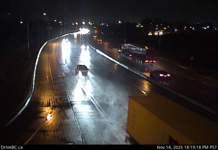 WorkingStill imageHighway 17, Hwy 17 at 80 Street, looking west
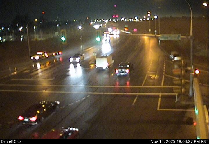 WorkingStill imageHighway 17, Hwy 17 at 80 Street, looking east
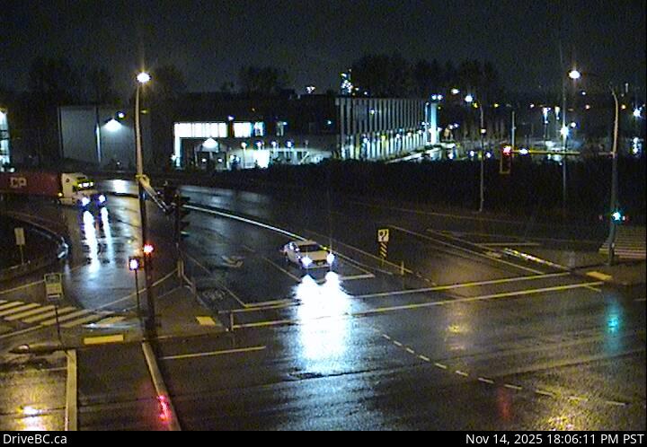 WorkingStill imageHighway 17, Hwy 17 at 80 Street, looking north
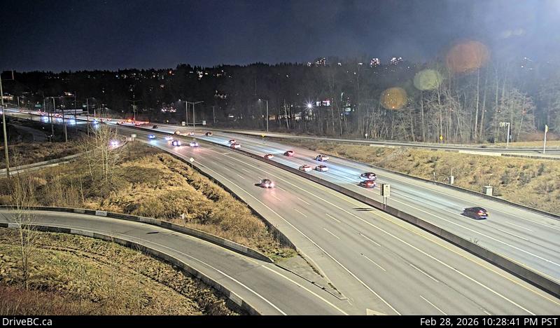 WorkingStill imageHighway 1, Kensington Avenue, looking east
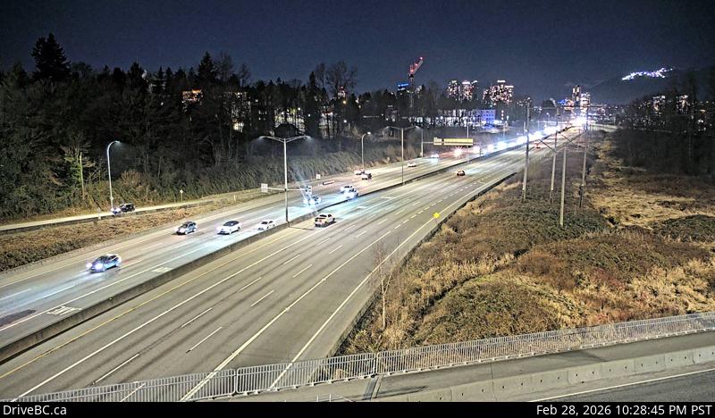 WorkingStill imageHighway 1, Kensington Avenue, looking west
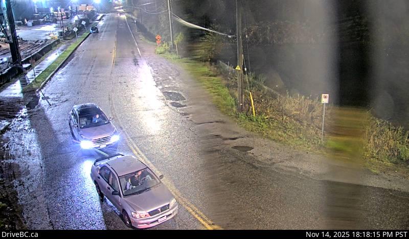 OfflineStill imageBarnston, Port Kells, looking west
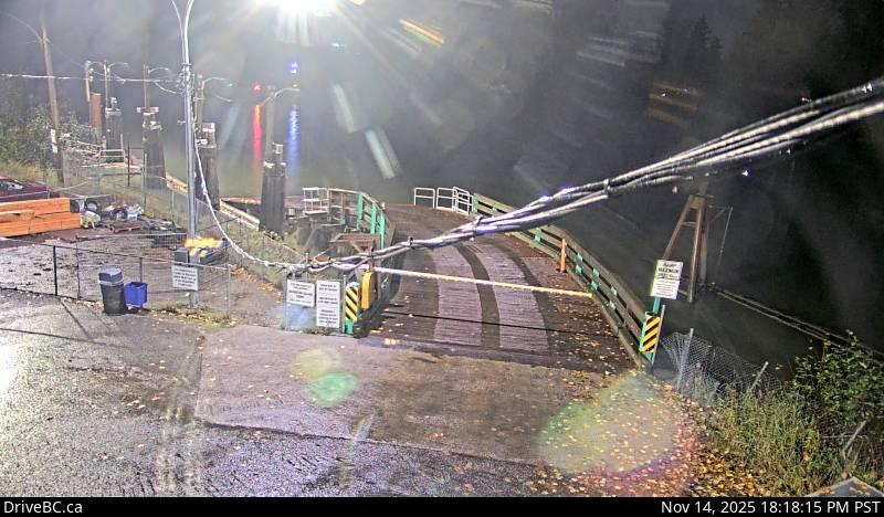 OfflineStill imageBarnston, Port Kells, looking east
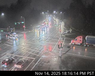 OfflineStill imageGolden Ears Way at 96 Avenue
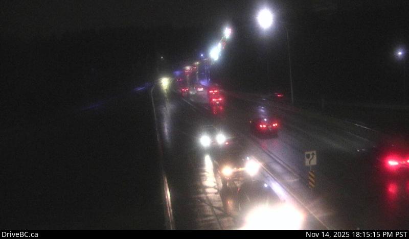 OfflineStill imageHighway 91, Hwy 91 at 72 Avenue, looking east
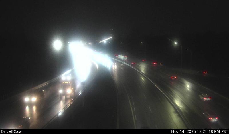 OfflineStill imageHighway 91, Hwy 91 at 72 Avenue, looking north
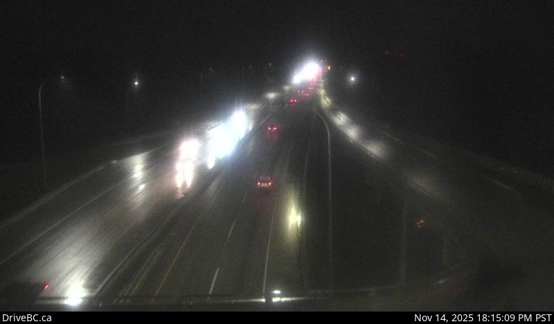 OfflineStill imageHighway 91, Hwy 91 at 72 Avenue, looking south
 OfflineStill imageGolden Ears Way at Wharf Street
No live video among these cameras. Turn off "Live video only" to see them all.
Best cams to watch
- Highway 15, Hwy 15 at 88 Avenue, looking east — Still image · every 15 min, working 100 % of the time in the last 30 days.
- Highway 15, Hwy 15 at 88 Avenue, looking south — Still image · every 15 min, working 100 % of the time in the last 30 days.
- Highway 15, Hwy 15 at 88 Avenue, looking north — Still image · every 15 min, working 100 % of the time in the last 30 days.
Fleetwood is not a separate city but one of the six town centres of Surrey, the fast-growing municipality southeast of Vancouver. It covers the area from roughly 144 Street to 172 Street and from 76 Avenue up to 96 Avenue, and counted about 63,000 residents in 2016. Its heart is the corner of Fraser Highway and 160 Street, where the Fleetwood Town Centre shopping area and the community centre stand. Much of the neighborhood is family housing built from the 1980s onward, with green pockets such as Francis Park beside the community centre.
Change is visible along Fraser Highway: the Surrey Langley SkyTrain extension is under construction down the middle of the road, with Fleetwood Station planned at 160 Street. TransLink and the province expect the line to Langley City to open in late 2029, so construction zones are part of the street scene for now.
About the cameras
The views attached to Fleetwood come from DriveBC, the provincial road information service, and the map assigns them here because this is the nearest named place. They follow the provincial highways around north Surrey, mainly the Highway 1 corridor toward the Port Mann Bridge, which explains the bridge label on some views. The pictures update every few minutes. Commuter peaks are the busiest time to look: westbound traffic toward the bridge builds early on weekday mornings, and eastbound queues return in the late afternoon.
Surrey now keeps British Columbia's permanent Pacific time, which since 2026 stays at UTC minus seven all year. On short December days that puts sunrise past nine, so early commuters drive in darkness. Rain and fog dominate the cooler months; snow is less common but can paralyze the region's hills when it arrives.
Neighbors include Guildford to the north, Cloverdale to the southeast and the Green Timbers urban forest a short way west along Fraser Highway.
Sources: Fleetwood, Surrey - Wikipedia · SkyTrain line to Langley on track for late 2029 opening - Surrey Now-Leader · B.C.'s new time zone (Pacific time) - Province of British Columbia.
Nearby places
- Surrey (212)
- Vancouver (120)
- New Westminster (111)
- Langley (107)
- Burnaby (102)
- Delta (78)
- Maple Ridge (76)
- Richmond (76)
Questions about Fleetwood
How many cameras does LiveLocation have in Fleetwood?
LiveLocation lists 133 cameras in and around Fleetwood, Canada: 0 live video, 133 still images. 126 of them were live or showing a fresh image at the last check.
Who runs the cameras in Fleetwood?
All of them come from DriveBC (133). Each camera plays straight from the agency or owner that runs it, with credit. DriveBC
What can I see on the Fleetwood cameras?
The views are traffic and highway (124) and bridge (9). Good ones to start with: Highway 15, Hwy 15 at 88 Avenue, looking east and Highway 15, Hwy 15 at 88 Avenue, looking south. Highway 15, Hwy 15 at 88 Avenue, looking east Highway 15, Hwy 15 at 88 Avenue, looking south
Can I watch live video from Fleetwood?
Not yet: the cameras here send still images that refresh about every 14 minutes. The map can show only live-video cameras nearby. Live video on the map
What time is it in Fleetwood, and when is it light?
Fleetwood is on America/Vancouver time. On October 7 the sun rises at 7:20 AM and sets at 6:37 PM, so still images are clearest between those times. Road cameras show the most traffic in the weekday morning and evening rush hours.
Which places near Fleetwood also have cameras?
The nearest are Surrey (7.0 km away, 212 cameras), Strawberry Hill (7.1 km away, 39 cameras) and New Westminster (9.2 km away, 111 cameras). Surrey Strawberry Hill New Westminster
How can I see the Fleetwood cameras on a map?
The map at the top of this page shows all 133 of them. The live camera radar centers on Fleetwood and lists every camera within 5 to 250 km, nearest first, with filters for live video, traffic, nature and more. Open the radar on Fleetwood
Place names and locations: GeoNames, licensed under CC BY 4.0.