Live cameras in Maple Ridge, Canada
88 cameras: 0 live video, 88 still images · 76 working now · updated Oct 8, 03:31 UTC
Maple Ridge has 88 live cameras on LiveLocation right now: 0 live video, 88 still images. Good places to start: Highway 7, Haney Bypass, looking southeast, Highway 7, Haney Bypass, looking northwest, Highway 7, Kanaka Way at Lougheed, northbound. Local time is 8:31 PM (America/Vancouver). Today the sun rises at 7:19 AM and sets at 6:36 PM.
Maple Ridge live cameras
Maple Ridge live cameras, all in one place: 0 live video, 88 still images. 76 were working at the last check. Maple Ridge is home to about 82,000 people.
Weather now in Maple Ridge: 12 °C (54 °F), fog, wind 3 km/h (2 mph) from the east. Forecast for 9 PM local time. Weather: MET Norway (CC BY 4.0)
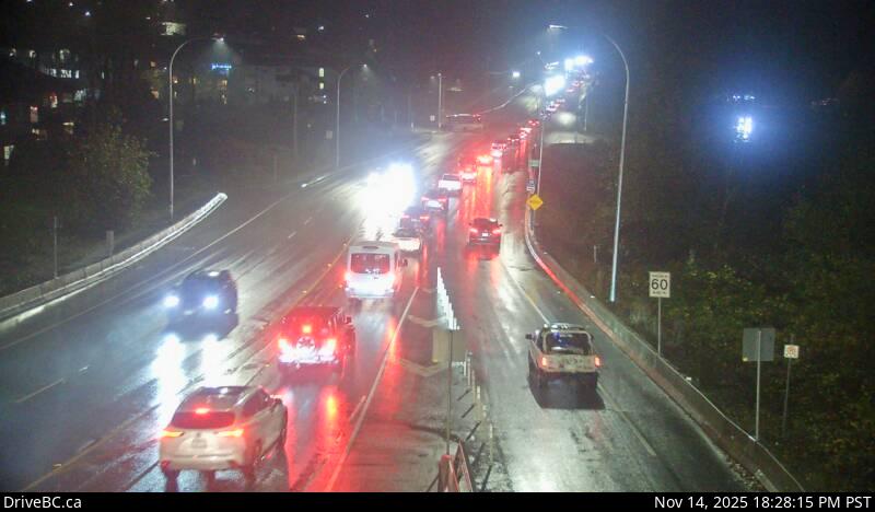 WorkingStill imageHighway 7, Haney Bypass, looking southeast
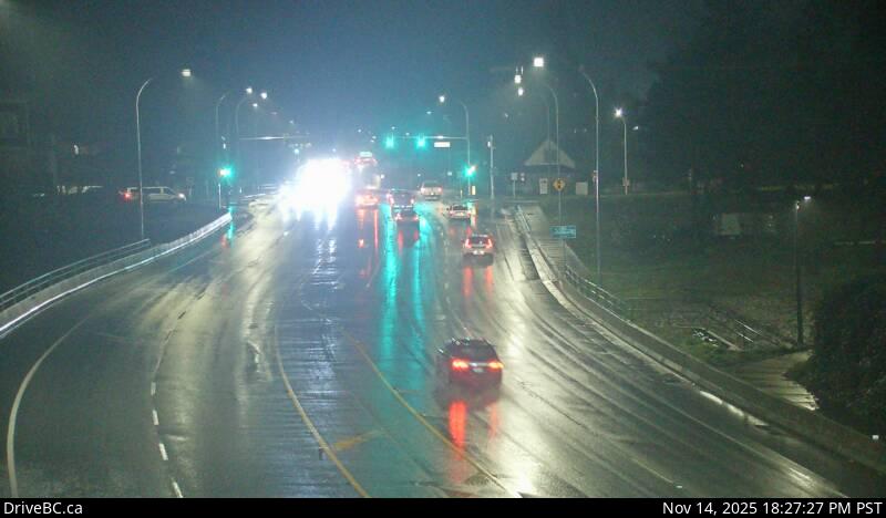 WorkingStill imageHighway 7, Haney Bypass, looking northwest
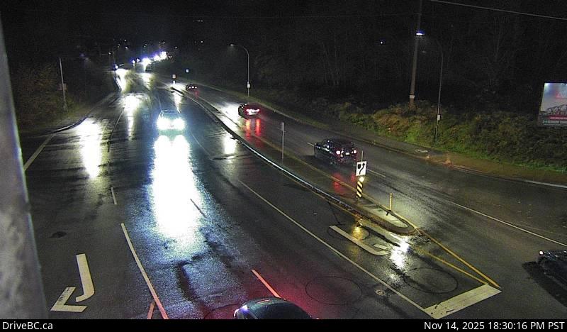 WorkingStill imageHighway 7, Kanaka Way at Lougheed, northbound
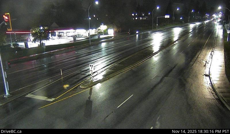 WorkingStill imageHighway 7, Kanaka Way at Lougheed, westbound
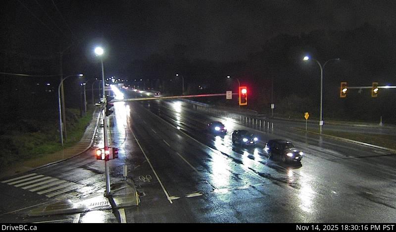 WorkingStill imageHighway 7, Kanaka Way at Lougheed, eastbound
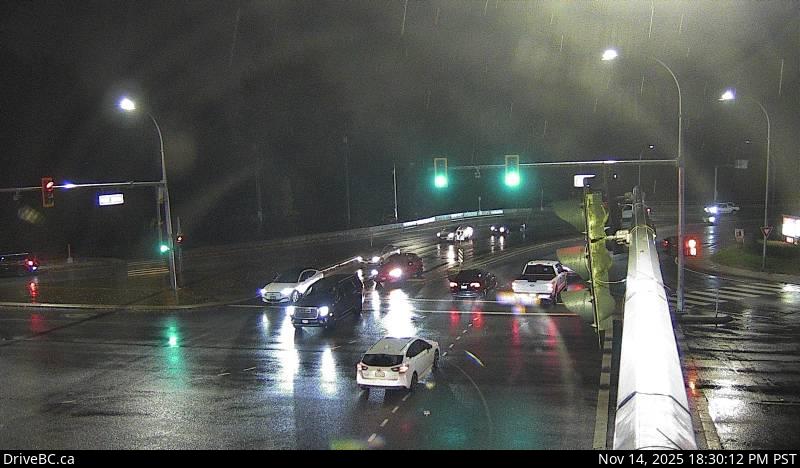 WorkingStill imageHighway 7, Haney Bypass at Lougheed
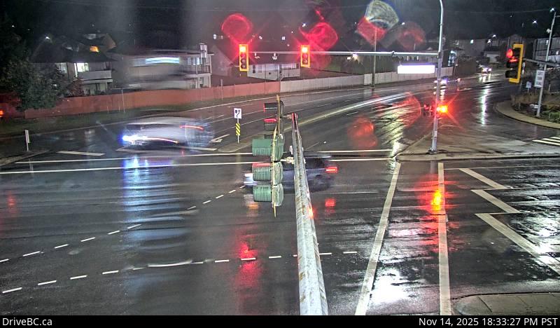 WorkingStill imageHighway 7, Lougheed at Dewdney Trunk Road, looking north
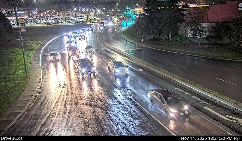 WorkingStill imageHighway 7, Lougheed at Maple Meadows Way, looking south
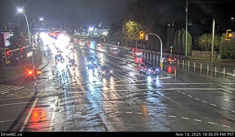 WorkingStill imageHighway 7, Lougheed at Dewdney Trunk Rd, looking west
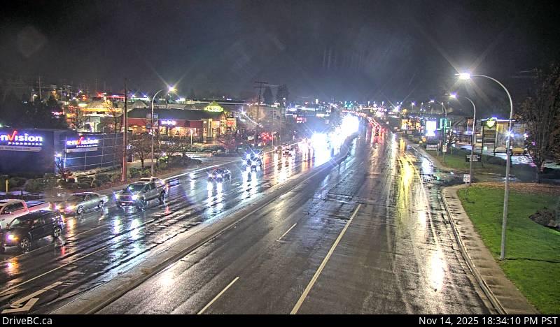 WorkingStill imageHighway 7, Lougheed at Dewdney Trunk Road, looking east
 WorkingStill imageGolden Ears Way at Lougheed
 WorkingStill imageHighway 7, Albion, looking south
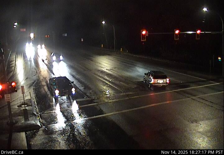 WorkingStill imageHighway 7, Albion, looking east
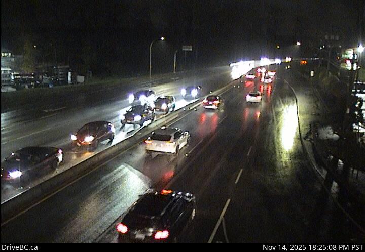 WorkingStill imageHighway 7, Albion, looking west
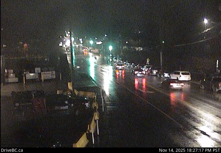 WorkingStill imageHighway 7, Albion, looking north
 WorkingStill imageGolden Ears Way at 199A Avenue and 200 Street
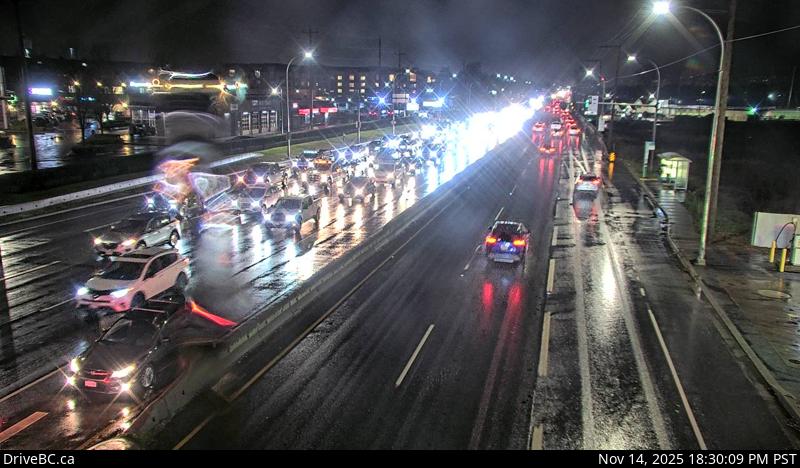 WorkingStill imageHighway 7, Lougheed at Harris Road, looking west
 WorkingStill imageHighway 7, Lougheed at Harris Road, looking north
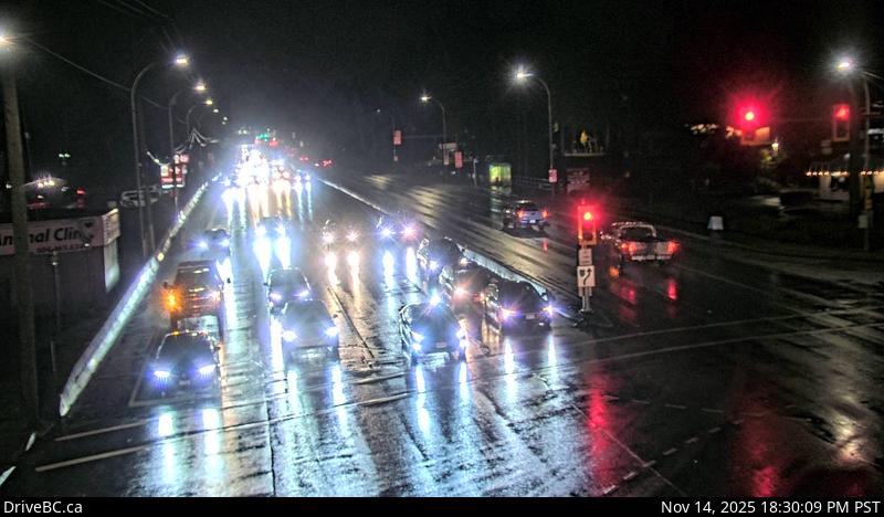 WorkingStill imageHighway 7, Lougheed at Harris Road, looking east
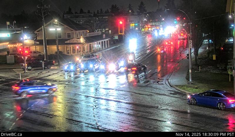 WorkingStill imageHighway 7, Lougheed at Harris Road, looking south
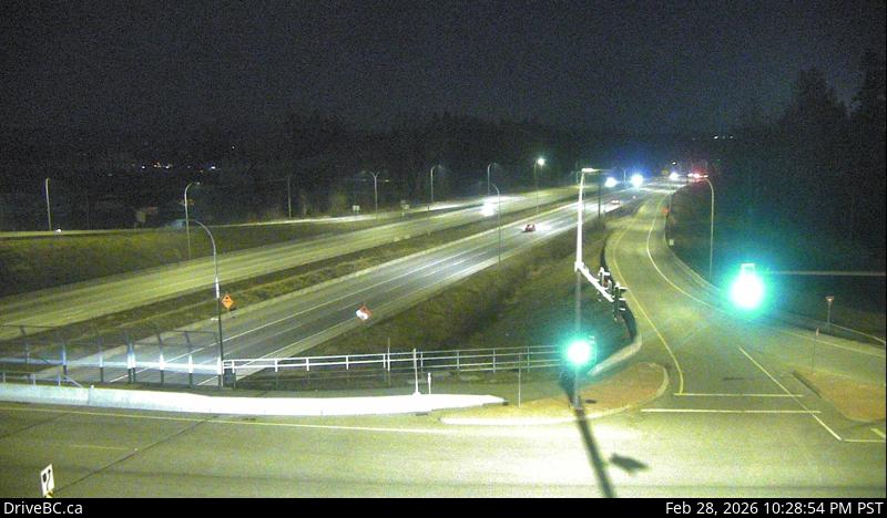 WorkingStill imageHighway 1, Hwy 1 at 216 Street, looking east
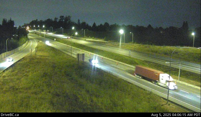 WorkingStill imageHighway 1, Hwy 1 at 216 Street, looking west
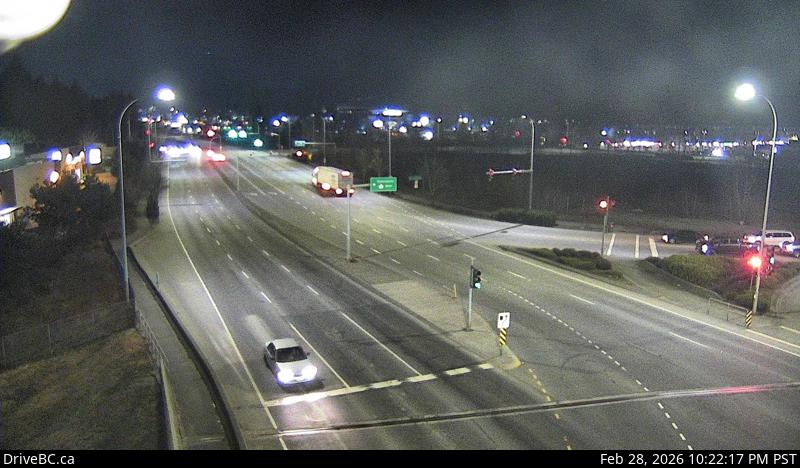 WorkingStill imageHighway 1, Hwy 1 at 200 Street, looking north
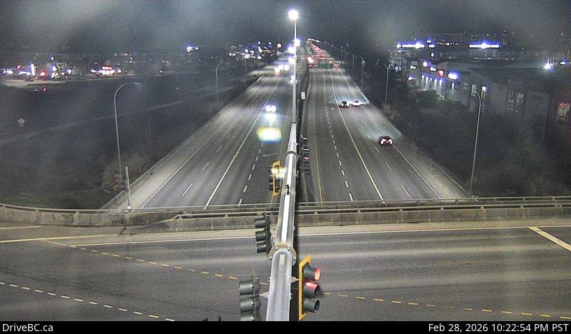 WorkingStill imageHighway 1, Hwy 1 at 200 Street, looking east
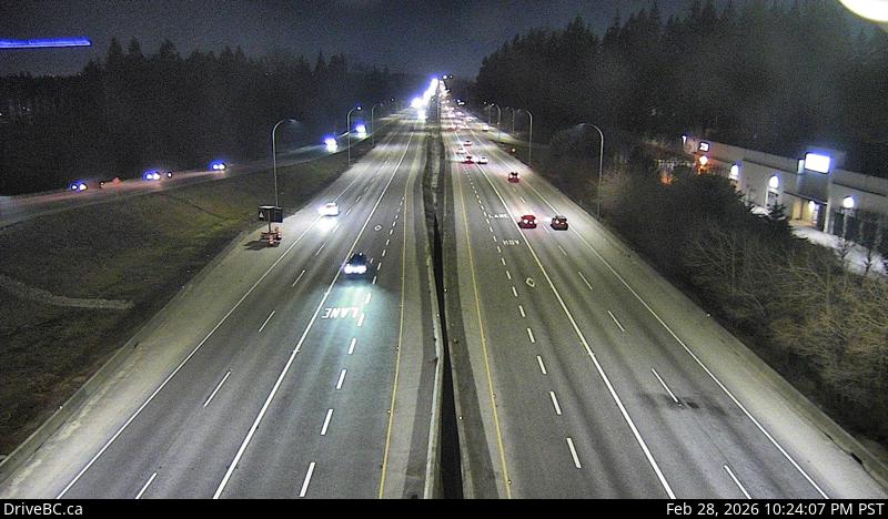 WorkingStill imageHighway 1, Hwy 1 at 200 Street, looking west
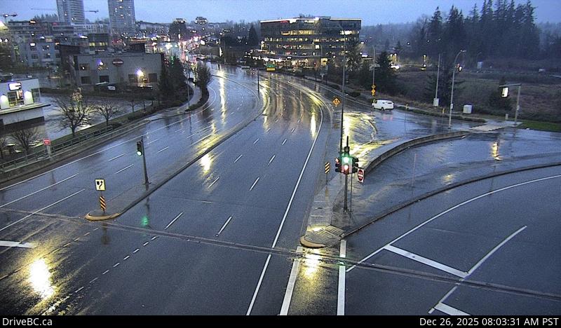 WorkingStill imageHighway 1, Hwy 1 at 200 Street, looking south
 WorkingStill imageHighway 7, Lougheed Highway
 WorkingStill imageHighway 7, Pitt Meadows
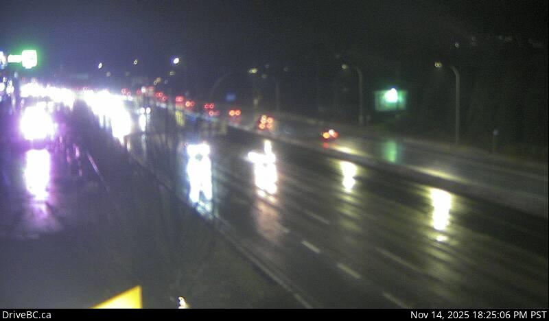 WorkingStill imageHighway 7, Lougheed at Kennedy Road
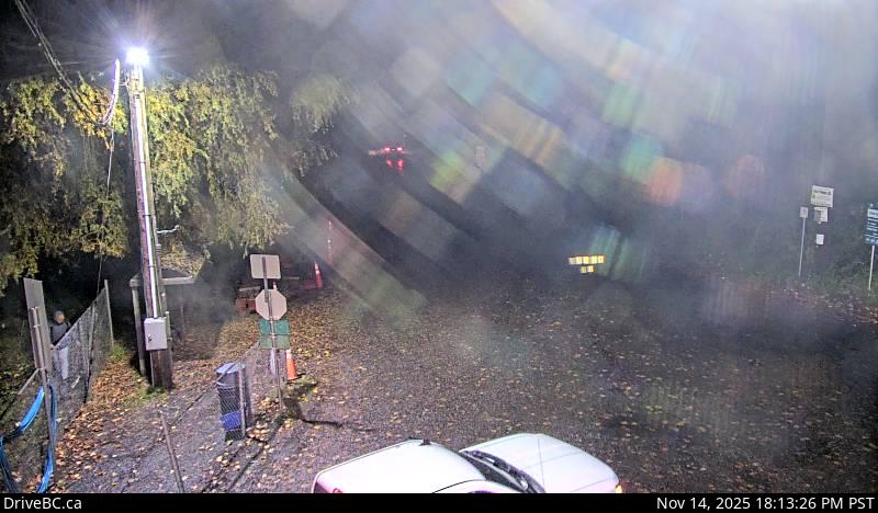 WorkingStill imageBarnston Island, looking north
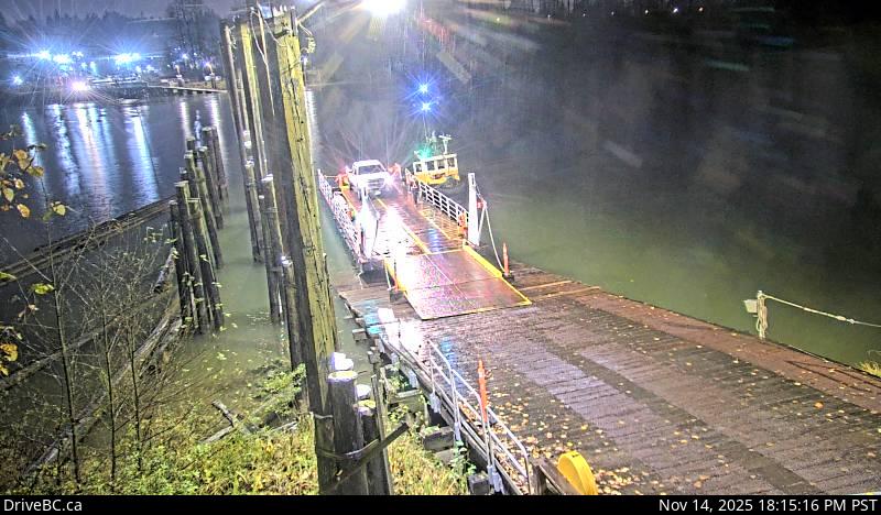 WorkingStill imageBarnston Island, looking west
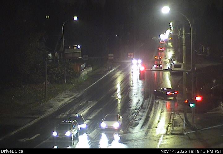 WorkingStill imageHighway 17, 104 Avenue at Hwy 17 westbound
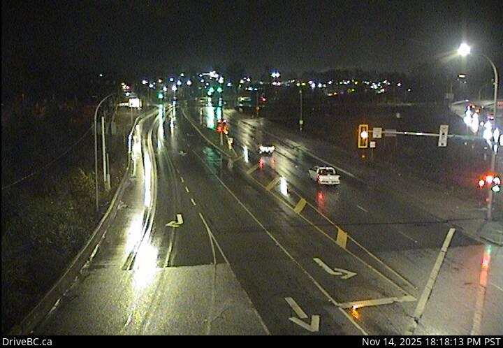 WorkingStill imageHighway 17, 104 Avenue at Hwy 17 eastbound
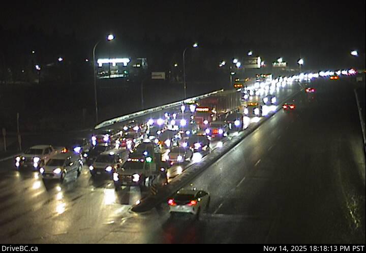 WorkingStill imageHighway 17, Hwy 17 at 104 Avenue eastbound
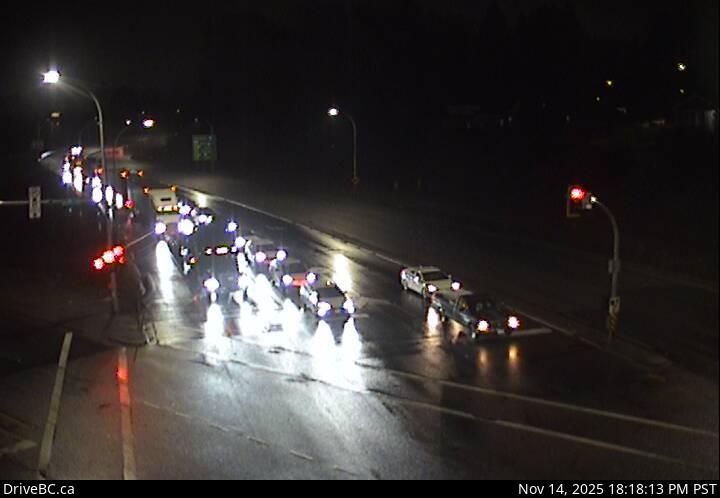 WorkingStill imageHighway 17, Hwy 17 at 104 Avenue southbound
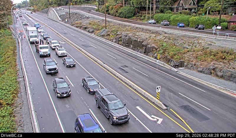 WorkingStill imageHighway 7, Lougheed at 272 Street, looking southwest
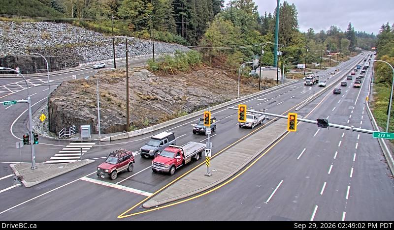 WorkingStill imageHighway 7, Lougheed at 272 Street, looking northeast
 WorkingStill imageHighway 1, Hwy 1 at 176 Street, looking east
 WorkingStill imageHighway 1, Hwy 1 at 176 Street, looking west
 WorkingStill imageHighway 1, Hwy 1 at 176 Street, looking south
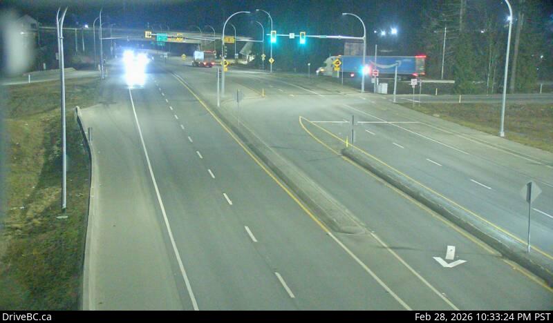 WorkingStill imageHighway 1, Hwy 1 at 176 Street, looking north
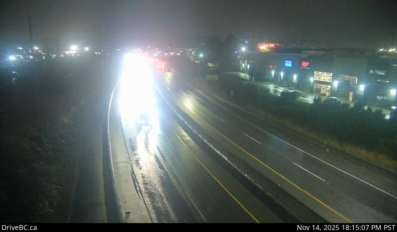 WorkingStill imageHighway 7B, Mary Hill Bypass, looking west
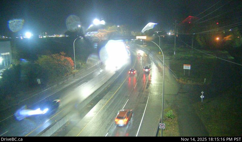 WorkingStill imageHighway 7B, Mary Hill Bypass, looking east
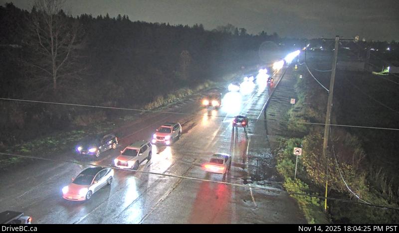 WorkingStill imageHighway 15, Hwy 15 at 88 Avenue, looking east
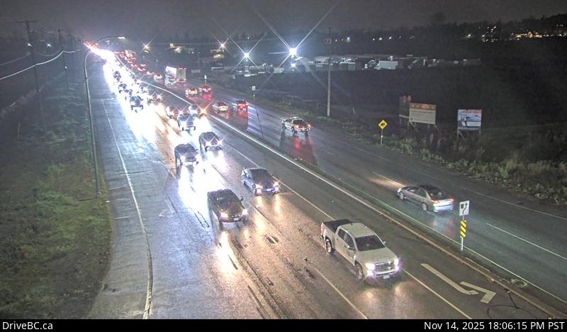 WorkingStill imageHighway 15, Hwy 15 at 88 Avenue, looking south
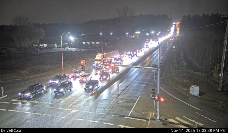 WorkingStill imageHighway 15, Hwy 15 at 88 Avenue, looking north
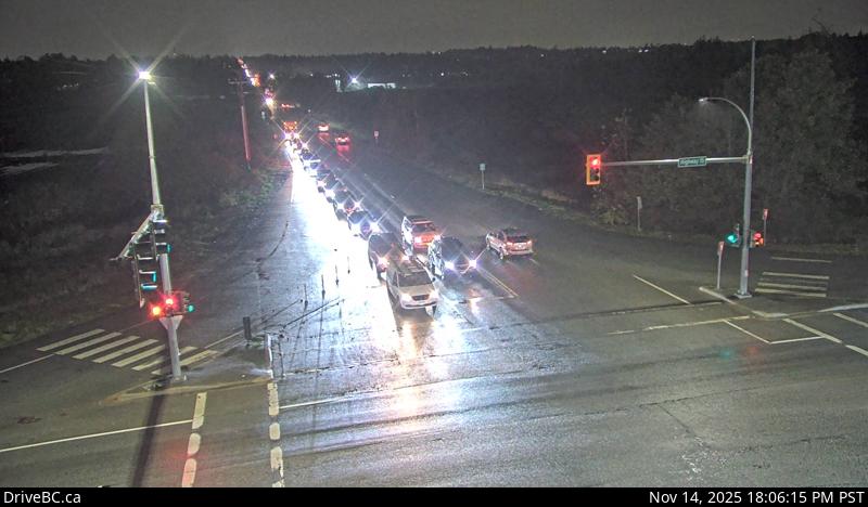 WorkingStill imageHighway 15, Hwy 15 at 88 Avenue, looking west
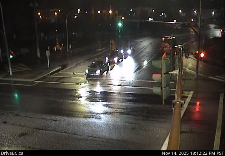 WorkingStill imageHighway 7B, Mary Hill Bypass at Broadway, looking north
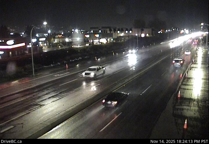 WorkingStill imageHighway 7B, Mary Hill Bypass at Broadway, looking east
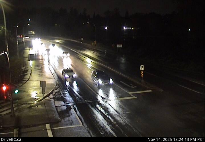 WorkingStill imageHighway 7B, Mary Hill Bypass at Broadway, looking west
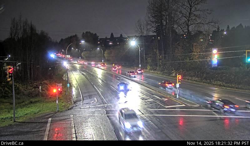 WorkingStill imageHighway 7B, Pitt River Road, looking west
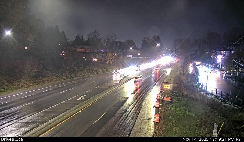 WorkingStill imageHighway 7B, Pitt River Road, looking east
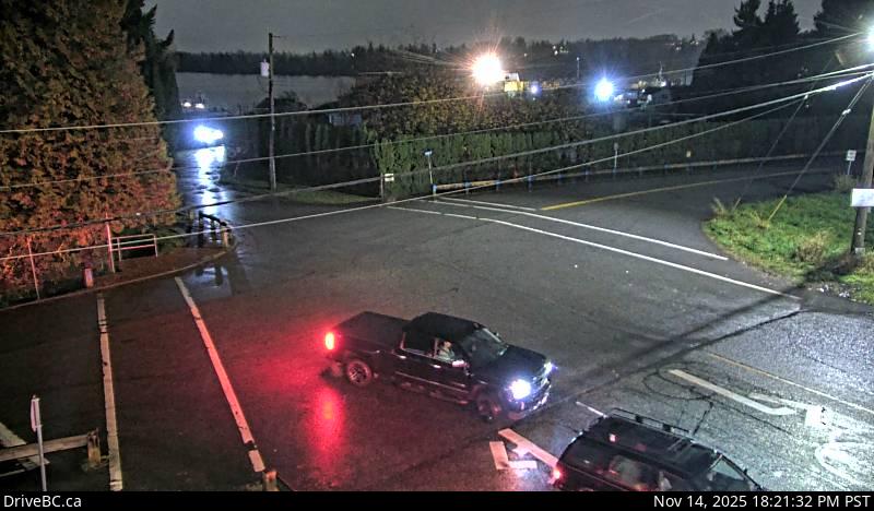 WorkingStill imageHighway 7B, Pitt River Road, looking south
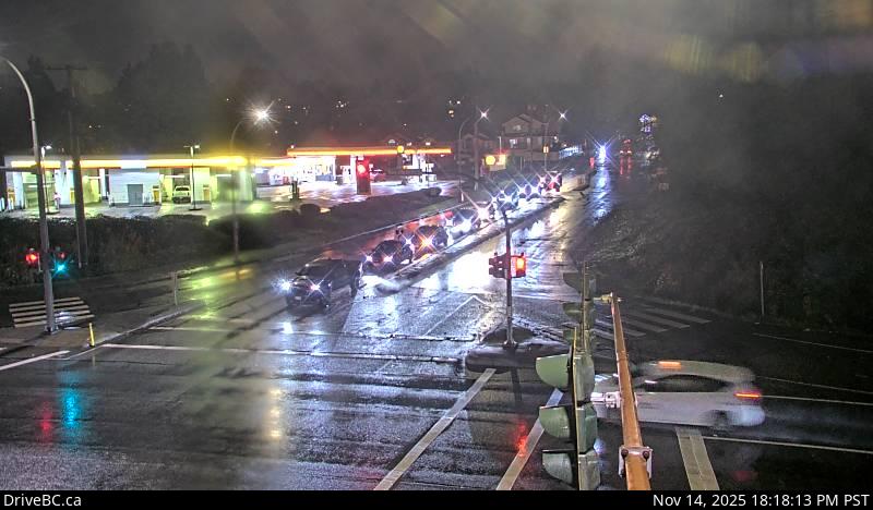 WorkingStill imageHighway 7B, Pitt River Road, looking north
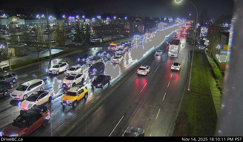 WorkingStill imageHighway 10, Hwy 10 at 200 Street, looking east
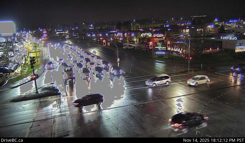 WorkingStill imageHighway 10, Hwy 10 at 200 Street, looking west
 WorkingStill imageHighway 10, Hwy 10 at 200 Street, looking south
 WorkingStill imageHighway 10, Hwy 10 at 200 Street, looking north
 WorkingStill imageHighway 10, Hwy 10 at Fraser Highway, looking southwest
 WorkingStill imageHighway 10, Hwy 10 at Fraser Highway, looking southeast
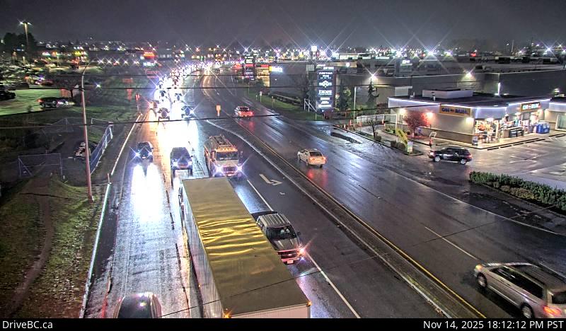 WorkingStill imageHighway 10, Hwy 10 at Fraser Highway, looking northeast
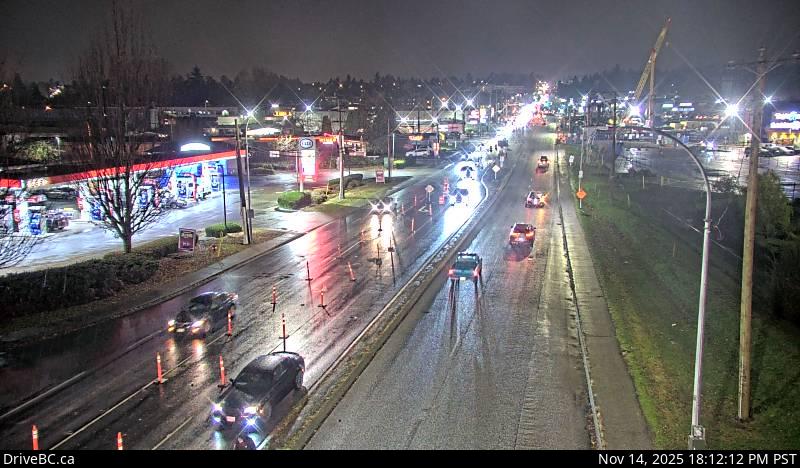 WorkingStill imageHighway 10, Hwy 10 at Fraser Highway, looking northwest
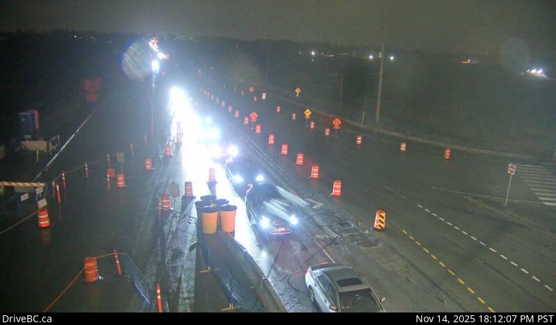 WorkingStill imageHighway 15, Hwy 15 at Fraser Highway, looking northwest
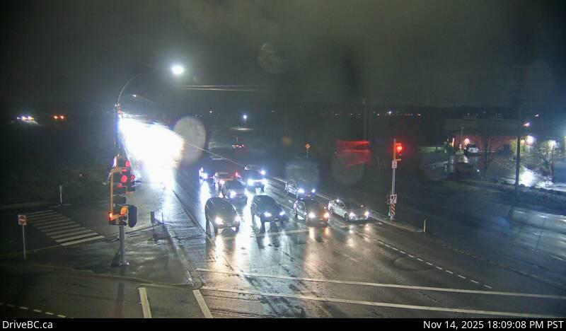 WorkingStill imageHighway 15, Hwy 15 at Fraser Highway, looking north
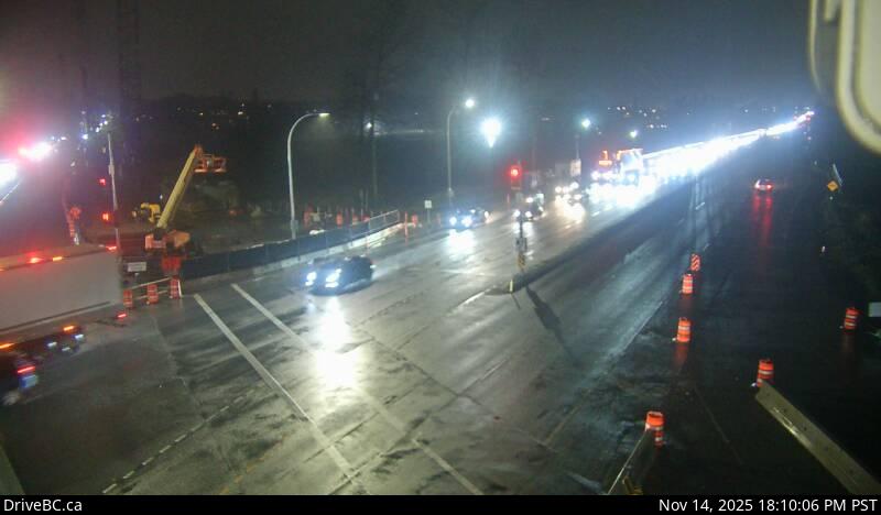 WorkingStill imageHighway 15, Hwy 15 at Fraser Highway, looking south
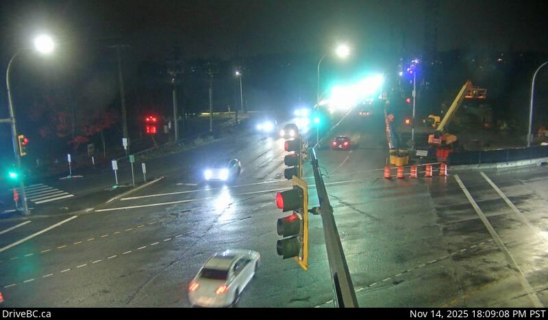 WorkingStill imageHighway 15, Hwy 15 at Fraser Highway, looking southeast
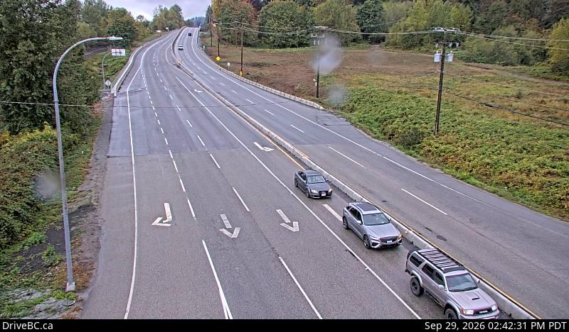 WorkingStill imageHighway 7, Lougheed at 287 Street, looking west
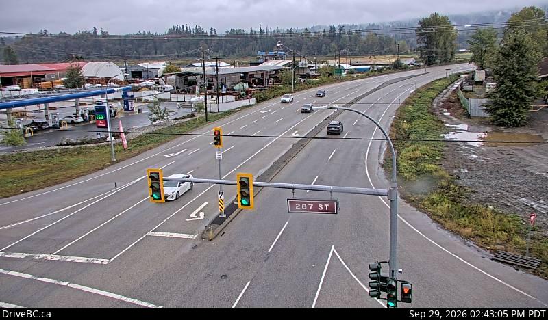 WorkingStill imageHighway 7, Lougheed at 287 Street, looking east
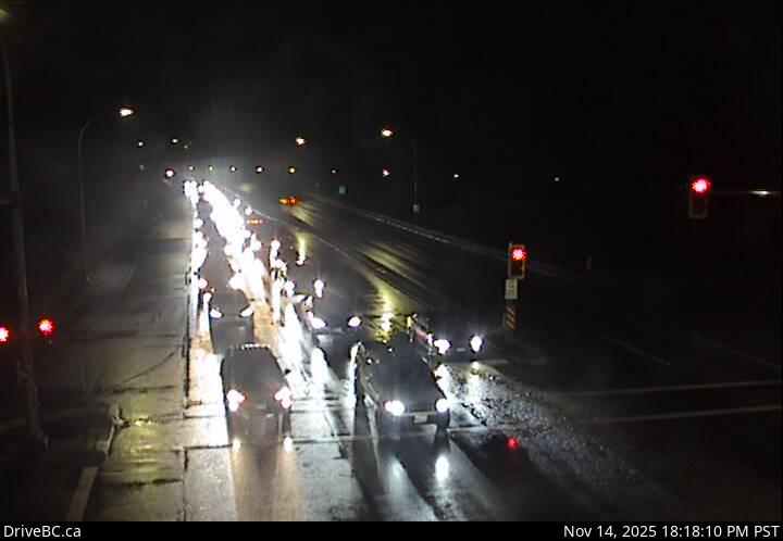 WorkingStill imageHighway 7B, Mary Hill Bypass at Shaughnessy, looking east
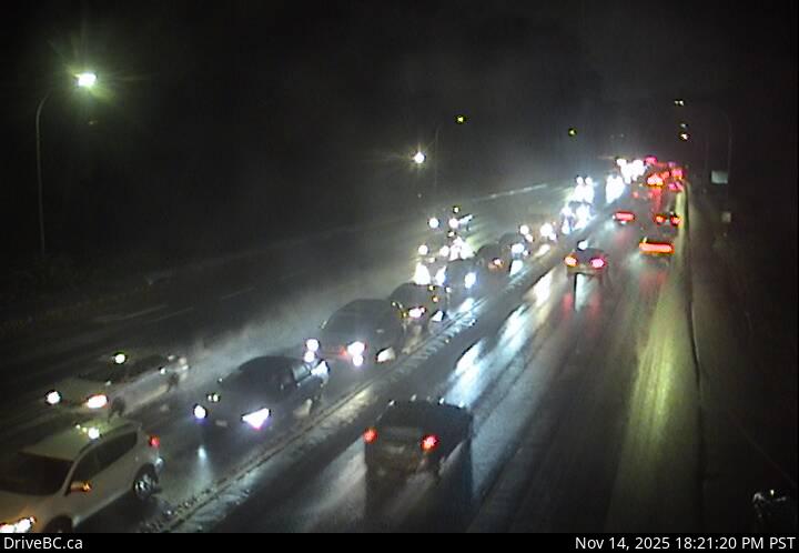 WorkingStill imageHighway 7B, Mary Hill Bypass at Shaughnessy, looking west
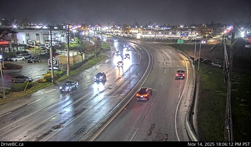 WorkingStill imageHighway 10, Hwy 10 at 192 Street, looking east
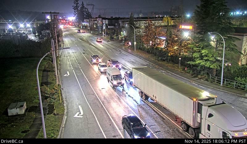 WorkingStill imageHighway 10, Hwy 10 at 192 Street, looking south
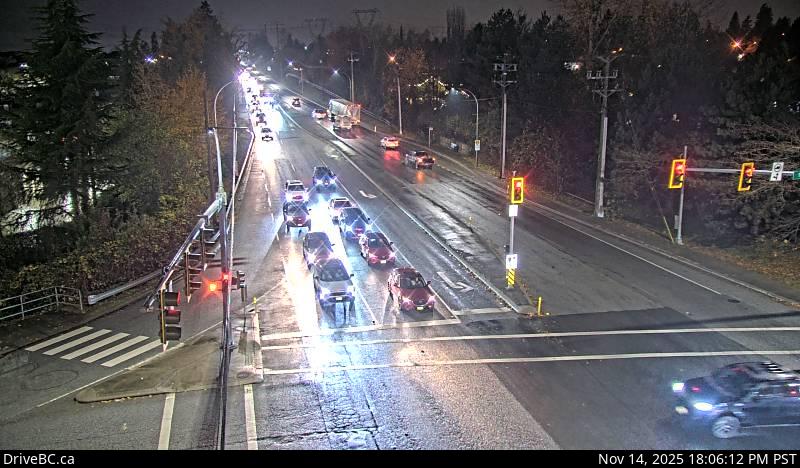 WorkingStill imageHighway 10, Hwy 10 at 192 Street, looking west
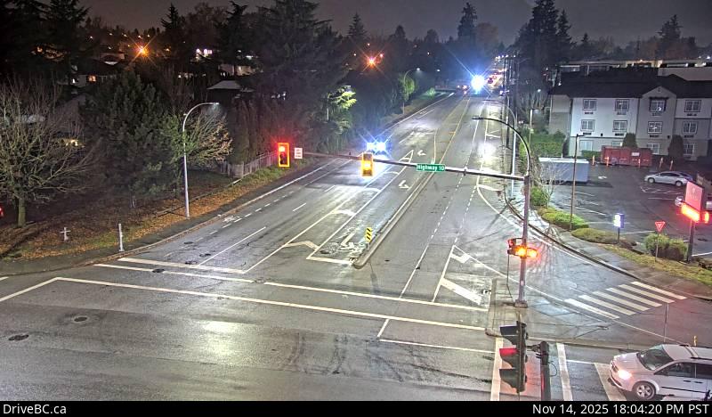 WorkingStill imageHighway 10, Hwy 10 at 192 Street, looking north
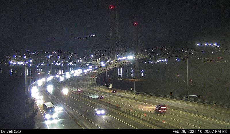 WorkingStill imageHighway 1, Port Mann Bridge, looking west
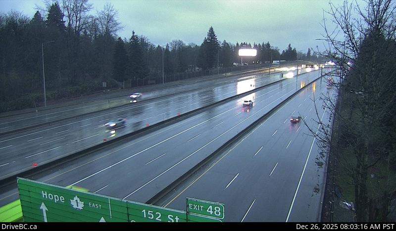 WorkingStill imageHighway 1, Port Mann Bridge, looking east
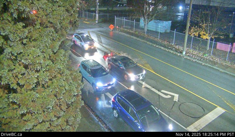 OfflineStill imageHighway 7, Lougheed at Haney Bypass, looking north
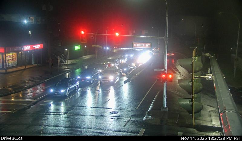 OfflineStill imageHighway 7, Lougheed at Haney Bypass, looking south
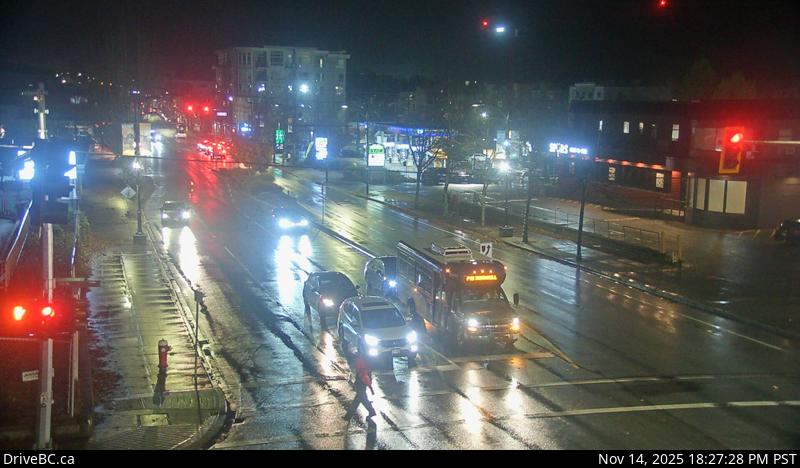 OfflineStill imageHighway 7, Lougheed at Haney Bypass, looking east
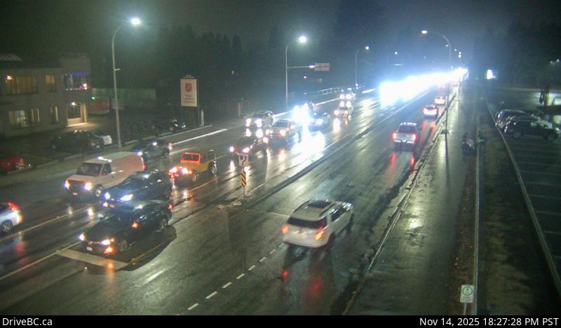 OfflineStill imageHighway 7, Lougheed at Haney Bypass, looking west
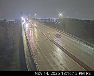 OfflineStill imageGolden Ears Way at Wharf Street
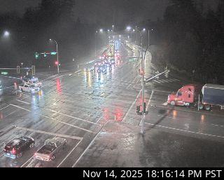 OfflineStill imageGolden Ears Way at 96 Avenue
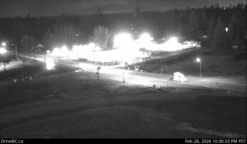 OfflineStill imageHighway 1, Hwy 1 at 232 Street, looking south
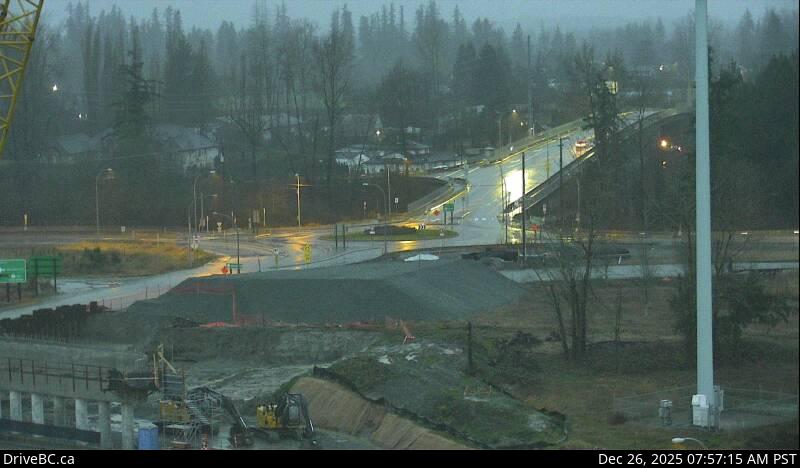 OfflineStill imageHighway 1, Hwy 1 at 232 Street, looking north
 OfflineStill imageHighway 1, Hwy 1 at 232 Street, looking west
 OfflineStill imageHighway 1, Hwy 1 at 232 Street, looking east
 OfflineStill imageBarnston, Port Kells, looking west
 OfflineStill imageBarnston, Port Kells, looking east
No live video among these cameras. Turn off "Live video only" to see them all.
Best cams to watch
- Highway 7, Haney Bypass, looking southeast — Still image · every 11 min, working 100 % of the time in the last 30 days.
- Highway 7, Haney Bypass, looking northwest — Still image · every 11 min, working 100 % of the time in the last 30 days.
- Highway 7, Kanaka Way at Lougheed, northbound — Still image · every 14 min, working 100 % of the time in the last 30 days.
Maple Ridge spreads across the north bank of the Fraser River at the eastern edge of Metro Vancouver, between the river and the twin summits of the Golden Ears. The 2021 census counted about 91,000 residents. Incorporated in 1874, it is the fifth-oldest municipality in the province and became a city in 2014. Its old center, Port Haney, keeps heritage buildings near the river and a West Coast Express commuter rail stop, and its streets have often stood in for small-town America in film and television shoots. North of town, Golden Ears Provincial Park and Alouette Lake draw campers, swimmers and hikers.
The DriveBC cameras linked to Maple Ridge follow Highway 7, the Lougheed Highway, which carries most of the traffic through the city on its way between the Pitt River and Mission. The Haney Bypass and the approaches to the Golden Ears Bridge, which crosses the Fraser to Langley, are the other pinch points. These are traffic stills that refresh every few minutes. They are most useful on weekday mornings, when westbound commuters pile up toward the Pitt River Bridge, and on summer Fridays, when campers head for Golden Ears.
Like most of the province, Maple Ridge stopped changing its clocks in 2026 and stays on UTC minus seven all year. That makes December mornings dark until after nine. The city sits closer to the mountains than central Vancouver, so it catches more rain and, in cold snaps, more snow on its upper slopes, while the river flats can fill with morning fog in autumn. Long summer evenings, with light until after nine, make the Golden Ears glow above the valley.
Pitt Meadows borders the city on the west, and the Kanaka Creek Regional Park canyon and the Fraser River dykes offer easy walks close by.
Sources: Maple Ridge, British Columbia - Wikipedia · B.C.'s new time zone (Pacific time) - Province of British Columbia · DriveBC.
Nearby places
Questions about Maple Ridge
How many cameras does LiveLocation have in Maple Ridge?
LiveLocation lists 88 cameras in and around Maple Ridge, Canada: 0 live video, 88 still images. 76 of them were live or showing a fresh image at the last check.
Where do the Maple Ridge cameras come from?
All of them come from DriveBC (88). Each camera plays straight from the agency or owner that runs it, with credit. DriveBC
What kinds of views are there in Maple Ridge?
The views are traffic and highway (86) and bridge (2). Good ones to start with: Highway 7, Haney Bypass, looking southeast and Highway 7, Haney Bypass, looking northwest. Highway 7, Haney Bypass, looking southeast Highway 7, Haney Bypass, looking northwest
Is there live video from Maple Ridge?
Not yet: the cameras here send still images that refresh about every 13 minutes. The map can show only live-video cameras nearby. Live video on the map
When is the best time to watch the Maple Ridge cameras?
Maple Ridge is on America/Vancouver time. On October 7 the sun rises at 7:19 AM and sets at 6:36 PM, so still images are clearest between those times. Road cameras show the most traffic in the weekday morning and evening rush hours.
Are there live cameras near Maple Ridge?
The nearest are Pitt Meadows (6.4 km away, 44 cameras), Port Coquitlam (13 km away, 62 cameras) and Langley (14 km away, 107 cameras). Pitt Meadows Port Coquitlam Langley
Is there a map of the cameras in Maple Ridge?
The map at the top of this page shows all 88 of them. The live camera radar centers on Maple Ridge and lists every camera within 5 to 250 km, nearest first, with filters for live video, traffic, nature and more. Open the radar on Maple Ridge
Place names and locations: GeoNames, licensed under CC BY 4.0.