Live cameras in Port Coquitlam, Canada
70 cameras: 0 live video, 70 still images · 62 working now · updated Oct 8, 03:32 UTC
Port Coquitlam has 70 live cameras on LiveLocation right now: 0 live video, 70 still images. Good places to start: Highway 7B, Mary Hill Bypass at Broadway, looking north, Highway 7B, Mary Hill Bypass at Broadway, looking east, Highway 7B, Mary Hill Bypass at Broadway, looking west. Local time is 8:32 PM (America/Vancouver). Today the sun rises at 7:20 AM and sets at 6:37 PM.
Port Coquitlam live cameras
Watch Port Coquitlam live webcams: 0 live video, 70 still images. 62 were working at the last check. Port Coquitlam is home to about 58,000 people.
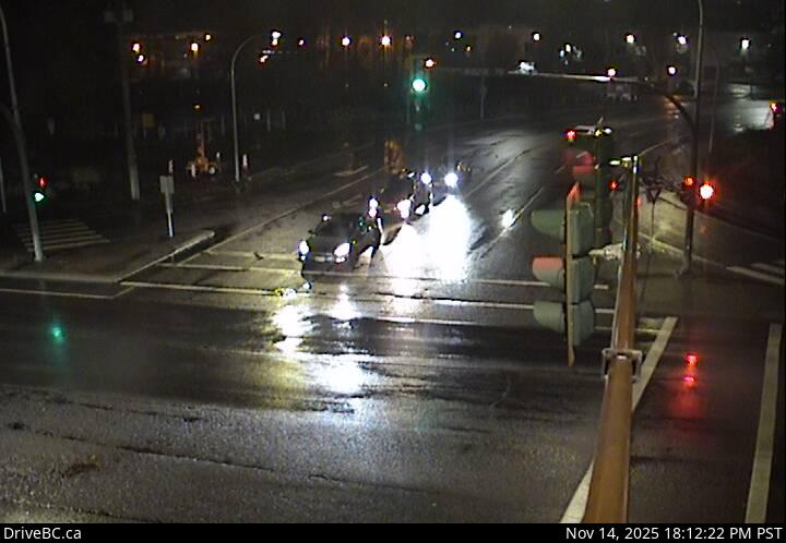 WorkingStill imageHighway 7B, Mary Hill Bypass at Broadway, looking north
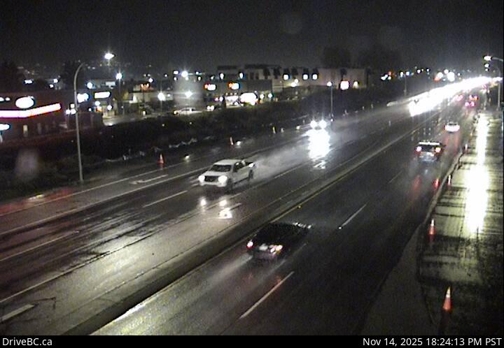 WorkingStill imageHighway 7B, Mary Hill Bypass at Broadway, looking east
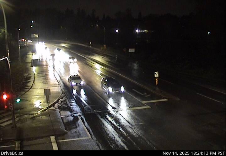 WorkingStill imageHighway 7B, Mary Hill Bypass at Broadway, looking west
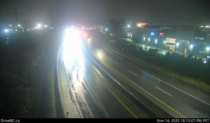 WorkingStill imageHighway 7B, Mary Hill Bypass, looking west
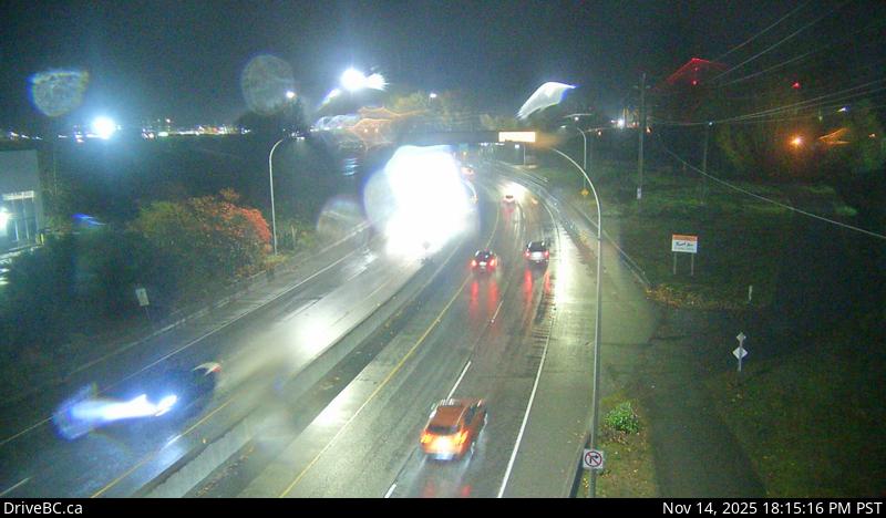 WorkingStill imageHighway 7B, Mary Hill Bypass, looking east
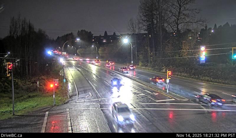 WorkingStill imageHighway 7B, Pitt River Road, looking west
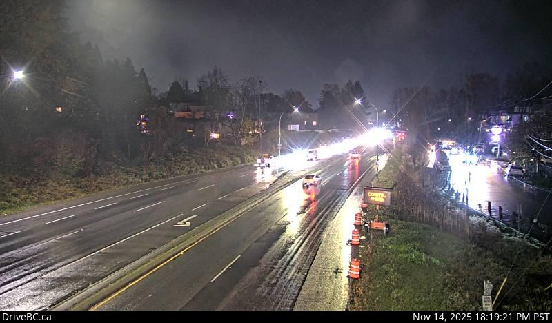 WorkingStill imageHighway 7B, Pitt River Road, looking east
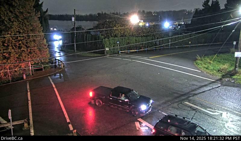 WorkingStill imageHighway 7B, Pitt River Road, looking south
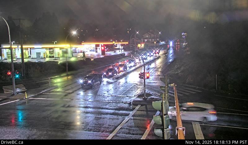 WorkingStill imageHighway 7B, Pitt River Road, looking north
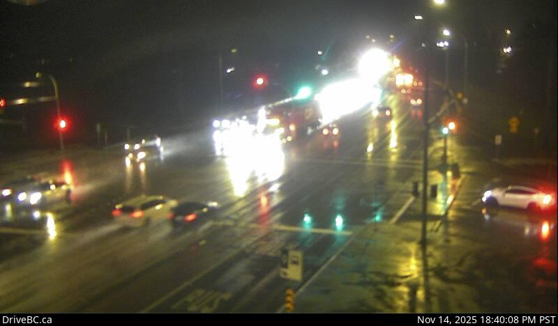 WorkingStill imageHighway 7, Lougheed Highway
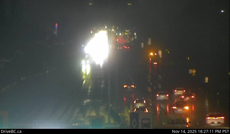 WorkingStill imageHighway 7, Pitt Meadows
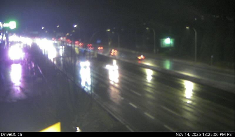 WorkingStill imageHighway 7, Lougheed at Kennedy Road
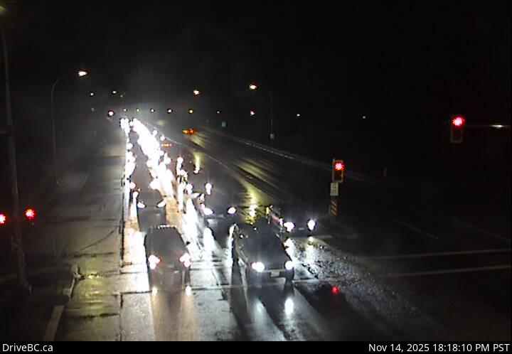 WorkingStill imageHighway 7B, Mary Hill Bypass at Shaughnessy, looking east
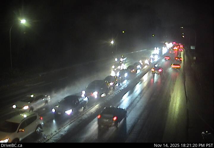 WorkingStill imageHighway 7B, Mary Hill Bypass at Shaughnessy, looking west
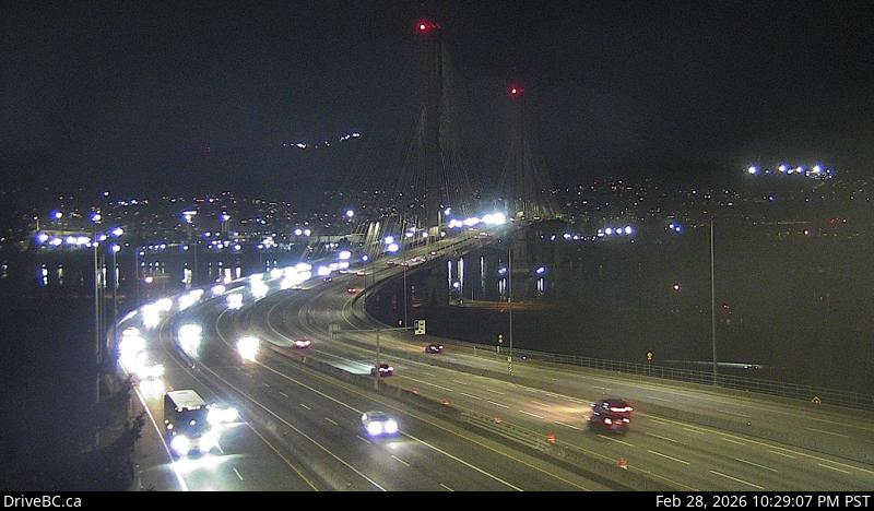 WorkingStill imageHighway 1, Port Mann Bridge, looking west
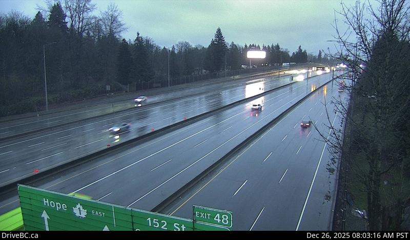 WorkingStill imageHighway 1, Port Mann Bridge, looking east
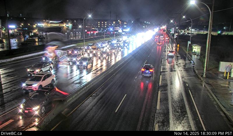 WorkingStill imageHighway 7, Lougheed at Harris Road, looking west
 WorkingStill imageHighway 7, Lougheed at Harris Road, looking north
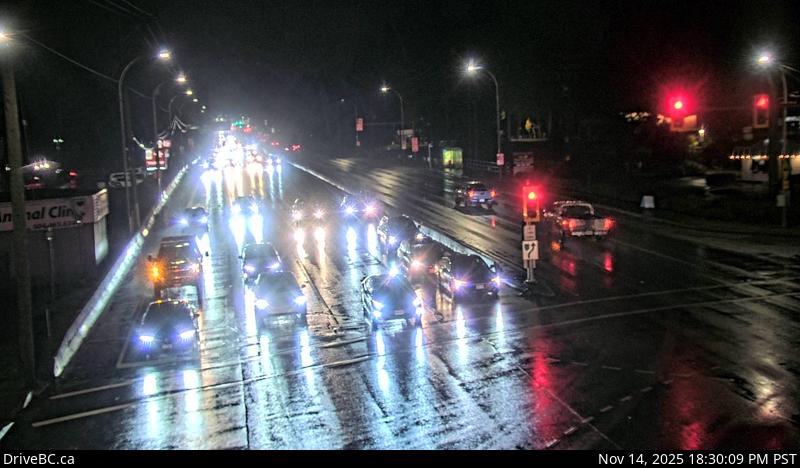 WorkingStill imageHighway 7, Lougheed at Harris Road, looking east
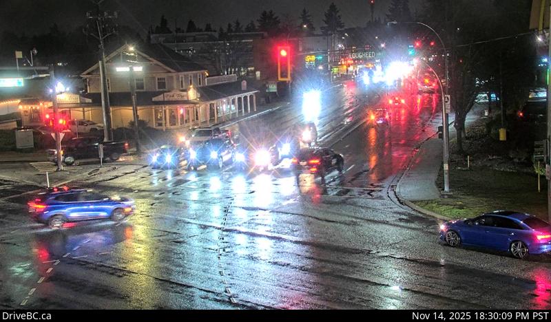 WorkingStill imageHighway 7, Lougheed at Harris Road, looking south
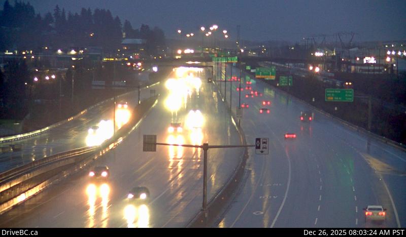 WorkingStill imageHighway 1, Coquitlam
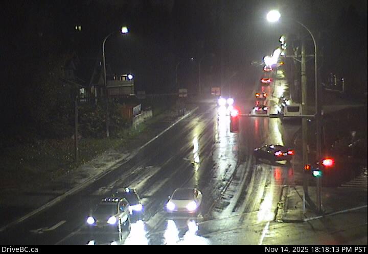 WorkingStill imageHighway 17, 104 Avenue at Hwy 17 westbound
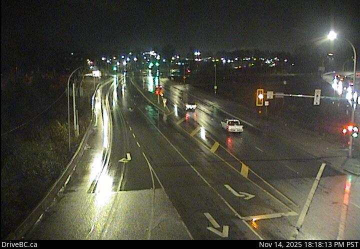 WorkingStill imageHighway 17, 104 Avenue at Hwy 17 eastbound
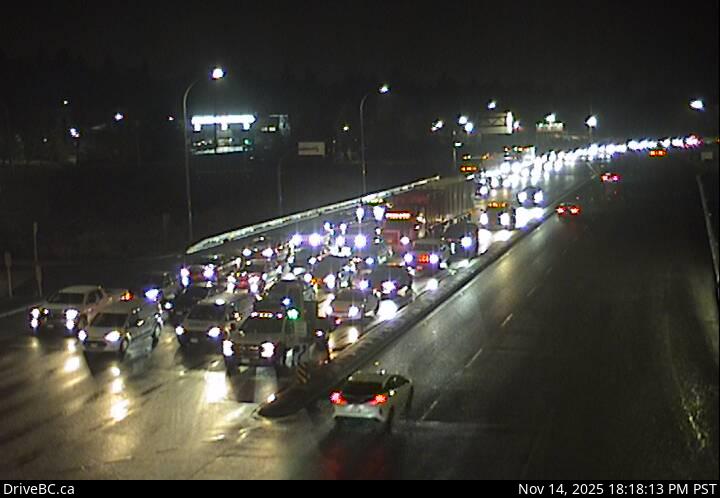 WorkingStill imageHighway 17, Hwy 17 at 104 Avenue eastbound
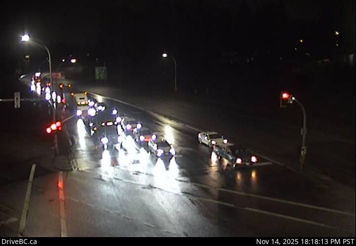 WorkingStill imageHighway 17, Hwy 17 at 104 Avenue southbound
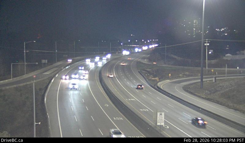 WorkingStill imageHighway 1, Brunette
 WorkingStill imageGolden Ears Way at Lougheed
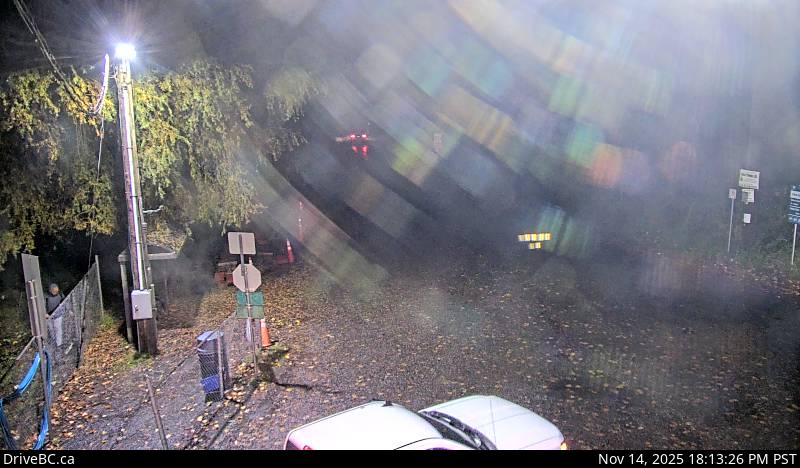 WorkingStill imageBarnston Island, looking north
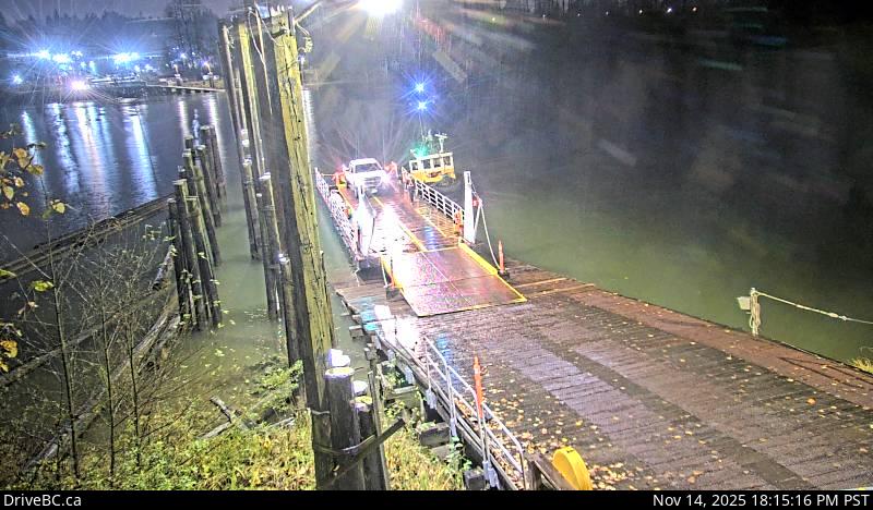 WorkingStill imageBarnston Island, looking west
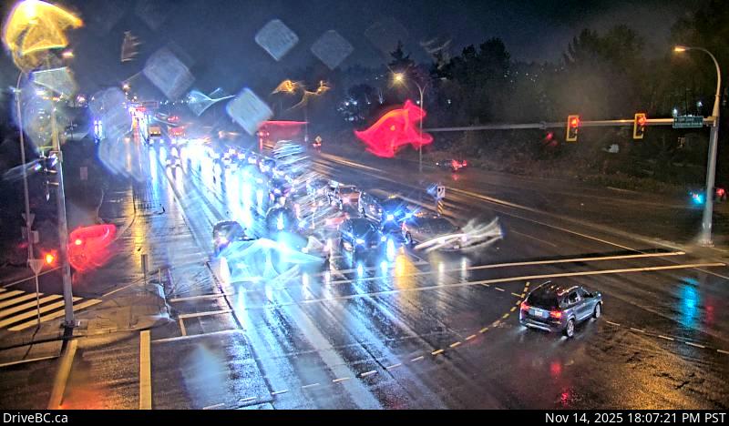 WorkingStill imageHighway 17, Bridgeview Drive, looking east
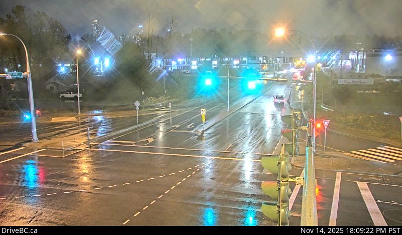 WorkingStill imageHighway 17, Bridgeview Drive, looking south
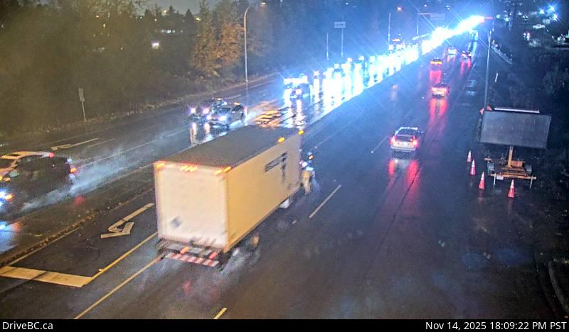 WorkingStill imageHighway 17, Bridgeview Drive, looking west
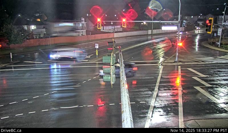 WorkingStill imageHighway 7, Lougheed at Dewdney Trunk Road, looking north
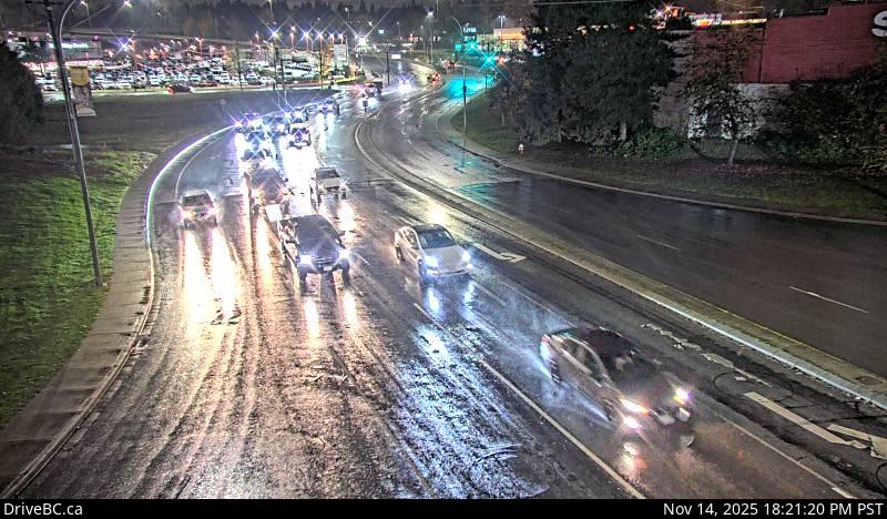 WorkingStill imageHighway 7, Lougheed at Maple Meadows Way, looking south
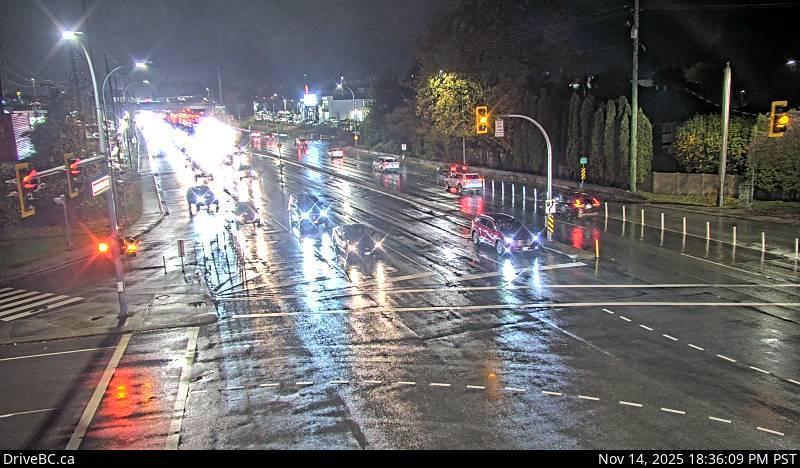 WorkingStill imageHighway 7, Lougheed at Dewdney Trunk Rd, looking west
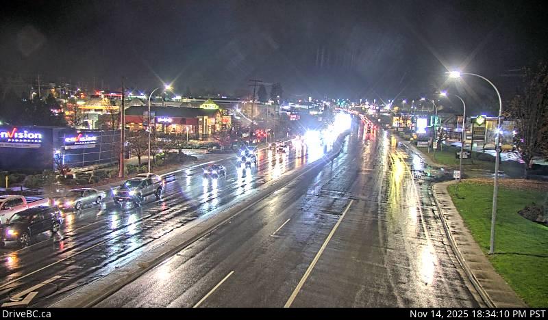 WorkingStill imageHighway 7, Lougheed at Dewdney Trunk Road, looking east
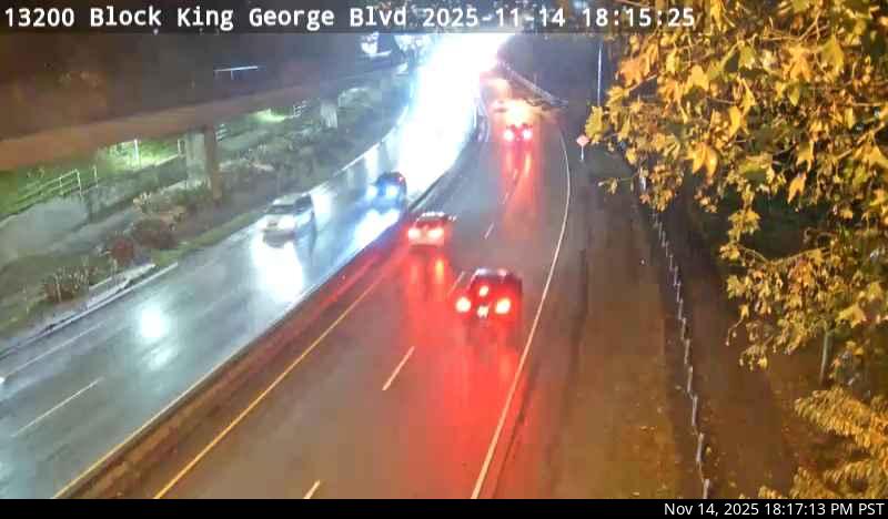 WorkingStill imageHighway 99A, Bridge Approach
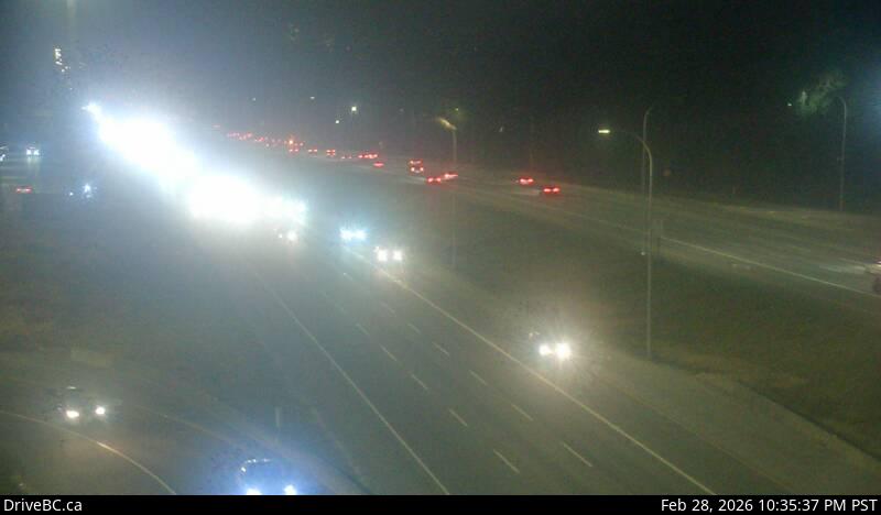 WorkingStill imageHighway 1, Hwy 1 at 176 Street, looking east
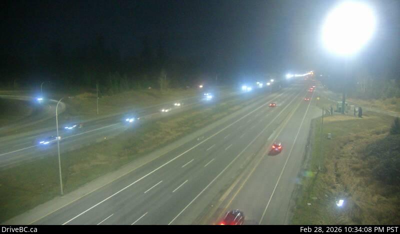 WorkingStill imageHighway 1, Hwy 1 at 176 Street, looking west
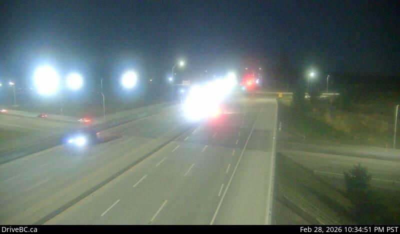 WorkingStill imageHighway 1, Hwy 1 at 176 Street, looking south
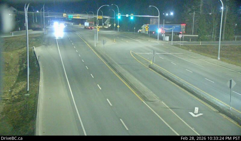 WorkingStill imageHighway 1, Hwy 1 at 176 Street, looking north
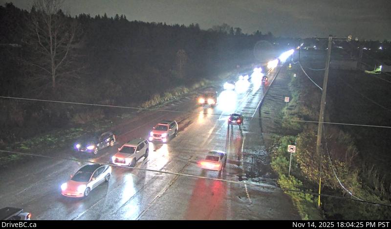 WorkingStill imageHighway 15, Hwy 15 at 88 Avenue, looking east
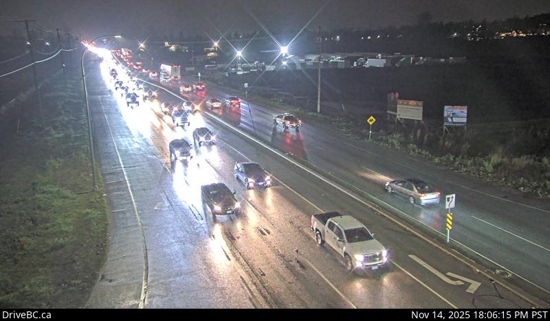 WorkingStill imageHighway 15, Hwy 15 at 88 Avenue, looking south
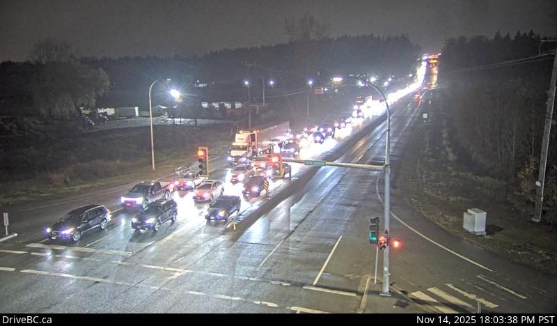 WorkingStill imageHighway 15, Hwy 15 at 88 Avenue, looking north
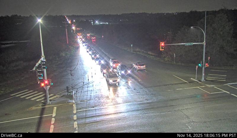 WorkingStill imageHighway 15, Hwy 15 at 88 Avenue, looking west
 WorkingStill imageGolden Ears Way at 199A Avenue and 200 Street
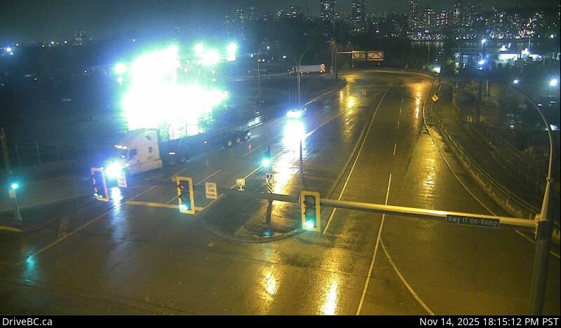 WorkingStill imageHighway 17, Tannery Road, looking north
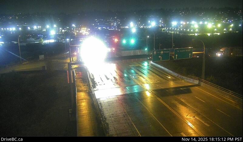 WorkingStill imageHighway 17, Tannery Road, looking south
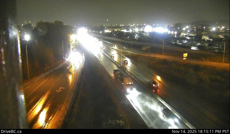 WorkingStill imageHighway 17, Tannery Road, looking east
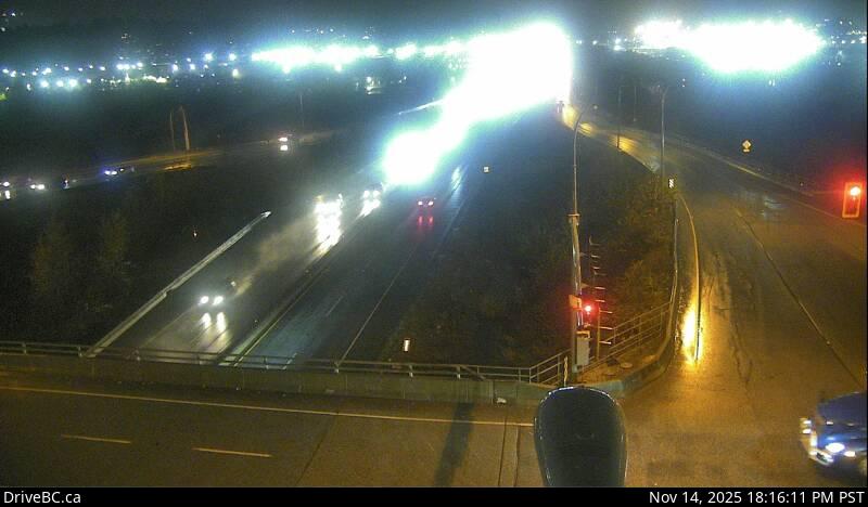 WorkingStill imageHighway 17, Tannery Road, looking west
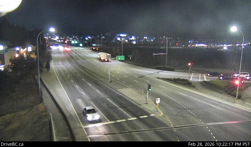 WorkingStill imageHighway 1, Hwy 1 at 200 Street, looking north
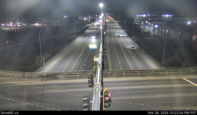 WorkingStill imageHighway 1, Hwy 1 at 200 Street, looking east
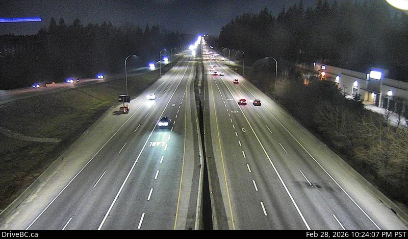 WorkingStill imageHighway 1, Hwy 1 at 200 Street, looking west
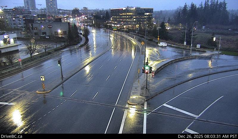 WorkingStill imageHighway 1, Hwy 1 at 200 Street, looking south
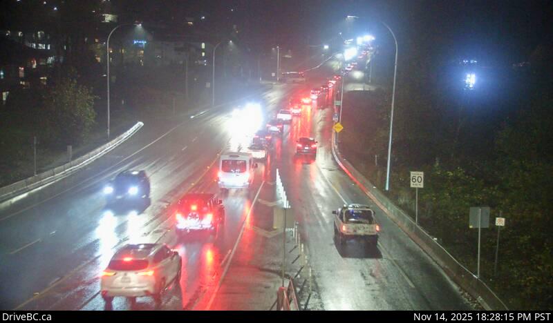 WorkingStill imageHighway 7, Haney Bypass, looking southeast
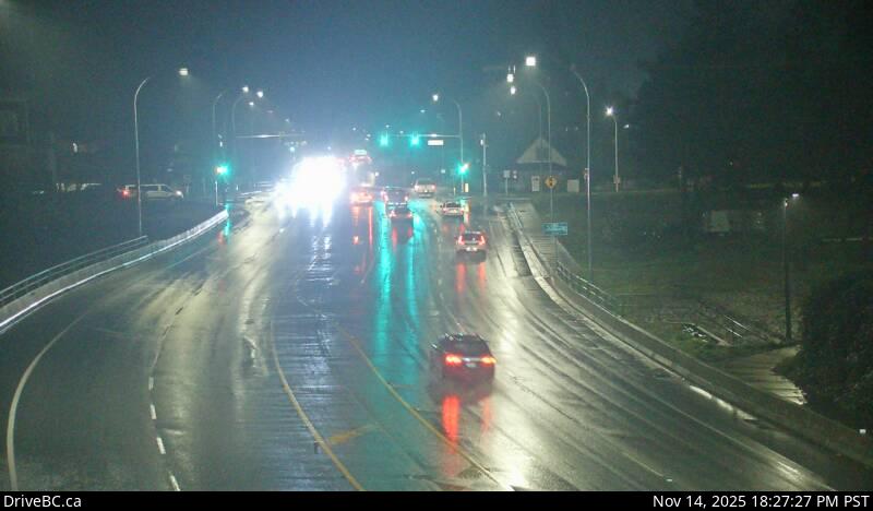 WorkingStill imageHighway 7, Haney Bypass, looking northwest
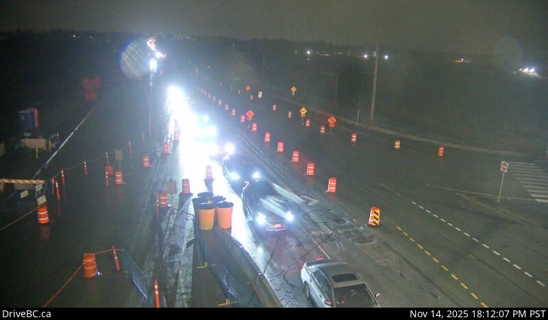 WorkingStill imageHighway 15, Hwy 15 at Fraser Highway, looking northwest
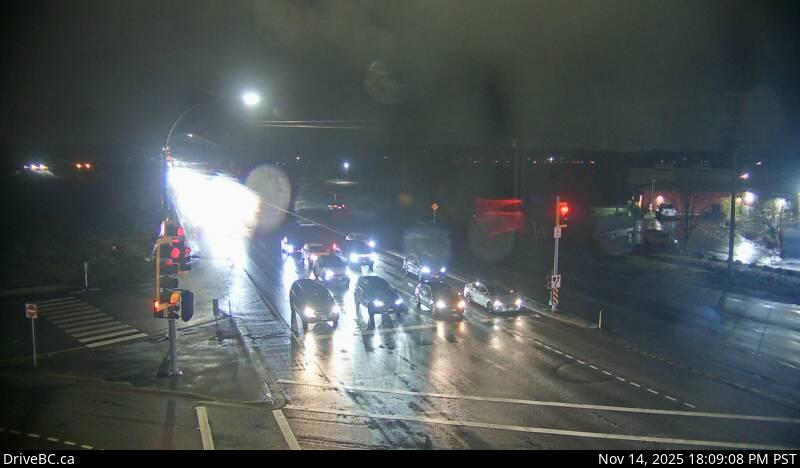 WorkingStill imageHighway 15, Hwy 15 at Fraser Highway, looking north
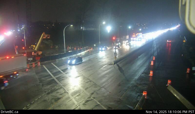 WorkingStill imageHighway 15, Hwy 15 at Fraser Highway, looking south
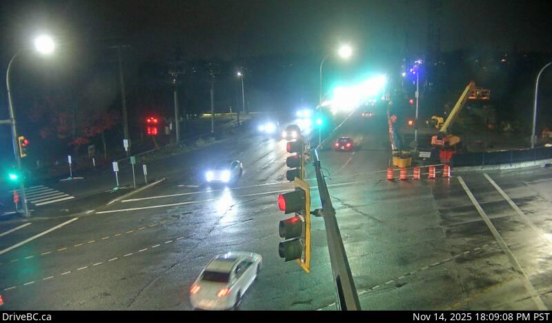 WorkingStill imageHighway 15, Hwy 15 at Fraser Highway, looking southeast
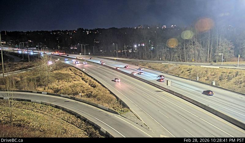 WorkingStill imageHighway 1, Kensington Avenue, looking east
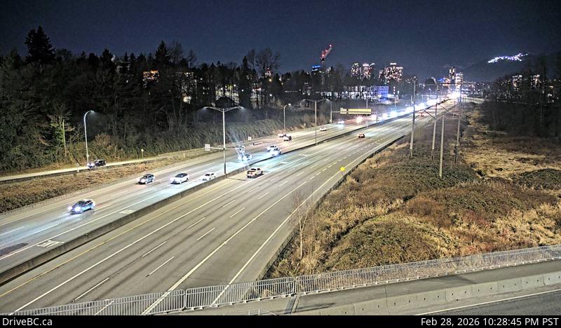 WorkingStill imageHighway 1, Kensington Avenue, looking west
 OfflineStill imageBarnston, Port Kells, looking west
 OfflineStill imageBarnston, Port Kells, looking east
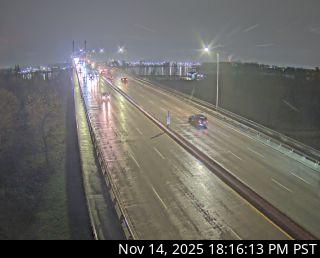 OfflineStill imageGolden Ears Way at Wharf Street
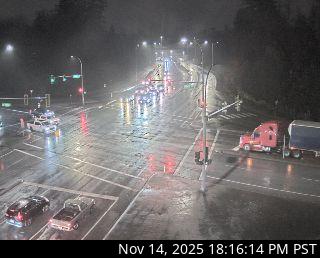 OfflineStill imageGolden Ears Way at 96 Avenue
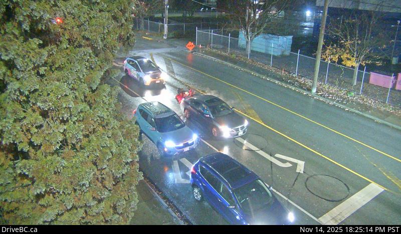 OfflineStill imageHighway 7, Lougheed at Haney Bypass, looking north
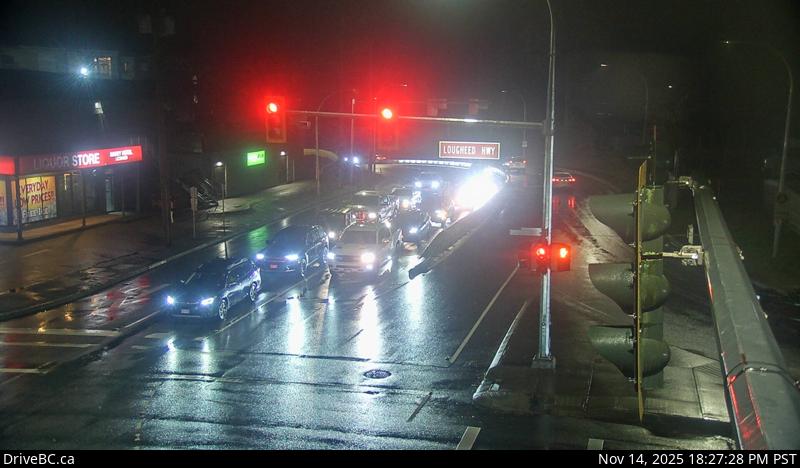 OfflineStill imageHighway 7, Lougheed at Haney Bypass, looking south
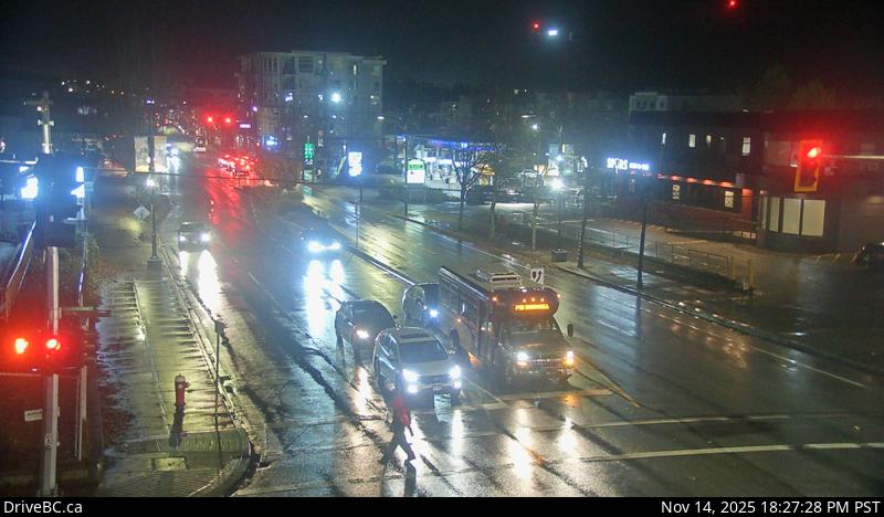 OfflineStill imageHighway 7, Lougheed at Haney Bypass, looking east
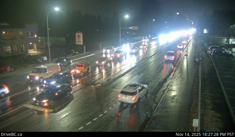 OfflineStill imageHighway 7, Lougheed at Haney Bypass, looking west
No live video among these cameras. Turn off "Live video only" to see them all.
Best cams to watch
- Highway 7B, Mary Hill Bypass at Broadway, looking north — Still image · every 12 min, working 100 % of the time in the last 30 days.
- Highway 7B, Mary Hill Bypass at Broadway, looking east — Still image · every 12 min, working 100 % of the time in the last 30 days.
- Highway 7B, Mary Hill Bypass at Broadway, looking west — Still image · every 12 min, working 100 % of the time in the last 30 days.
Port Coquitlam, known locally as PoCo, is a suburban city in the northeast corner of Metro Vancouver, about 27 kilometers east of downtown Vancouver. It occupies the low ground where the Pitt River joins the Fraser, with Coquitlam to the north and west and Pitt Meadows across the Pitt River. The 2021 census counted about 61,500 residents. The Canadian Pacific Kansas City main line and its rail yards cut through the middle of town, and West Coast Express trains stop here on the way to Vancouver. Terry Fox, who started his Marathon of Hope in 1980, grew up in Port Coquitlam, and the city honors him with a secondary school and a statue downtown. The 25-kilometer Traboulay PoCo Trail loops around the whole city along rivers and dykes.
The DriveBC traffic cameras on this page cover the highways that funnel commuters through PoCo. Highway 7, the Lougheed Highway, runs east to west through the city, and the Mary Hill Bypass (Highway 7B) skirts the south side along the Fraser before both routes meet the Pitt River Bridge. That bridge is the main link eastward to Pitt Meadows and Maple Ridge, so the views around it show quickly when traffic backs up. Pictures refresh every few minutes as still images.
Port Coquitlam observes British Columbia's permanent Pacific time, a year-round UTC minus seven that took effect in 2026. On the shortest December days daybreak now comes around nine, and darkness falls by half past five. Heavy rain is the usual winter story, and the Coquitlam River can run high after storms. The busiest views are on weekday mornings heading west and in the late afternoon heading east toward the bridge.
Nearby, Minnekhada Regional Park in neighboring Coquitlam and the Pitt River dykes offer quiet walking and birdwatching, and Coquitlam's town centre is a few minutes west.
Sources: Port Coquitlam - Wikipedia · B.C.'s new time zone (Pacific time) - Province of British Columbia · DriveBC.
Nearby places
- Surrey (212)
- Fleetwood (126)
- Vancouver (120)
- New Westminster (111)
- Langley (107)
- Burnaby (102)
- Delta (78)
- Maple Ridge (76)
Questions about Port Coquitlam
How many webcams can I watch in Port Coquitlam?
LiveLocation lists 70 cameras in and around Port Coquitlam, Canada: 0 live video, 70 still images. 62 of them were live or showing a fresh image at the last check.
Where do the Port Coquitlam cameras come from?
All of them come from DriveBC (70). Each camera plays straight from the agency or owner that runs it, with credit. DriveBC
What kinds of views are there in Port Coquitlam?
The views are traffic and highway (67) and bridge (3). Good ones to start with: Highway 7B, Mary Hill Bypass at Broadway, looking north and Highway 7B, Mary Hill Bypass at Broadway, looking east. Highway 7B, Mary Hill Bypass at Broadway, looking north Highway 7B, Mary Hill Bypass at Broadway, looking east
Is there live video from Port Coquitlam?
Not yet: the cameras here send still images that refresh about every 14 minutes. The map can show only live-video cameras nearby. Live video on the map
When is the best time to watch the Port Coquitlam cameras?
Port Coquitlam is on America/Vancouver time. On October 7 the sun rises at 7:20 AM and sets at 6:37 PM, so still images are clearest between those times. Road cameras show the most traffic in the weekday morning and evening rush hours.
Are there live cameras near Port Coquitlam?
The nearest are Coquitlam (2.2 km away, 54 cameras), Port Moody (4.3 km away, 13 cameras) and Pitt Meadows (7.7 km away, 44 cameras). Coquitlam Port Moody Pitt Meadows
Is there a map of the cameras in Port Coquitlam?
The map at the top of this page shows all 70 of them. The live camera radar centers on Port Coquitlam and lists every camera within 5 to 250 km, nearest first, with filters for live video, traffic, nature and more. Open the radar on Port Coquitlam
Place names and locations: GeoNames, licensed under CC BY 4.0.