Live cameras in North Vancouver, Canada
48 cameras: 0 live video, 48 still images · 48 working now · updated Oct 8, 03:32 UTC
North Vancouver has 48 live cameras on LiveLocation right now: 0 live video, 48 still images. Good places to start: Highway 1, Lonsdale, looking north, Highway 1, Lonsdale, looking east, Highway 1, Lonsdale, looking south. Local time is 8:32 PM (America/Vancouver). Today the sun rises at 7:21 AM and sets at 6:38 PM.
North Vancouver live cameras
Every North Vancouver live camera we know of: 0 live video, 48 still images. 48 were working at the last check. North Vancouver is home to about 88,000 people.
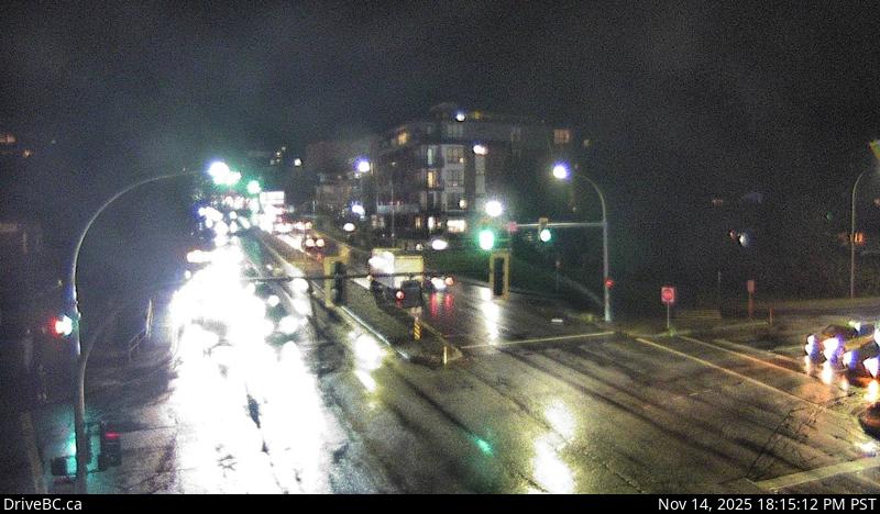 WorkingStill imageHighway 1, Lonsdale, looking north
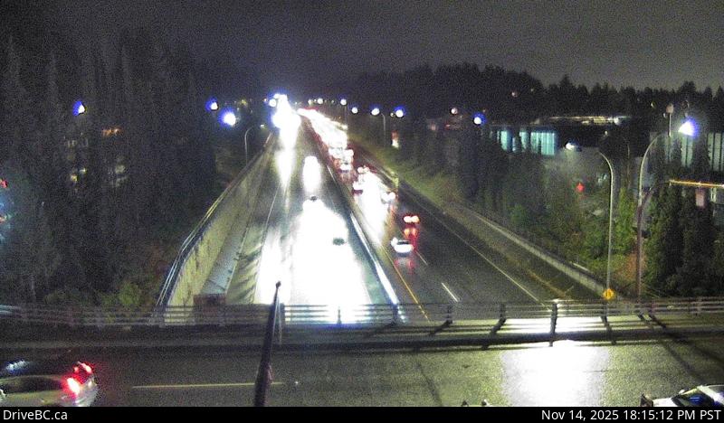 WorkingStill imageHighway 1, Lonsdale, looking east
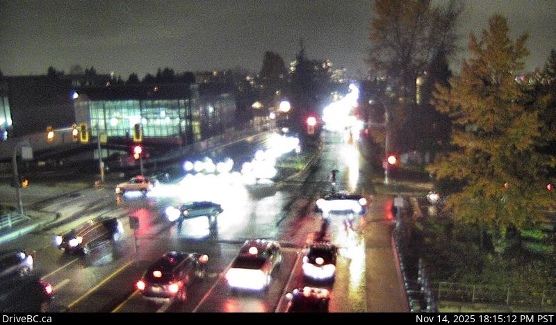 WorkingStill imageHighway 1, Lonsdale, looking south
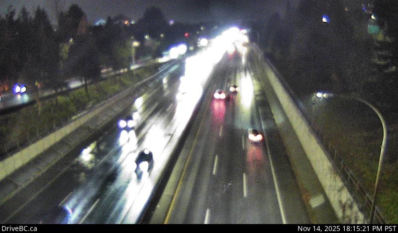 WorkingStill imageHighway 1, Lonsdale, looking west
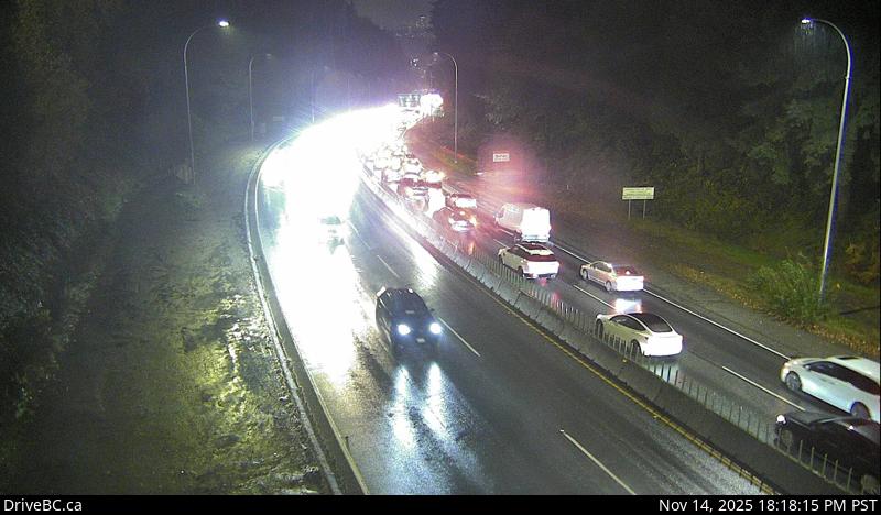 WorkingStill imageHighway 1, Lynn Valley Road, looking east
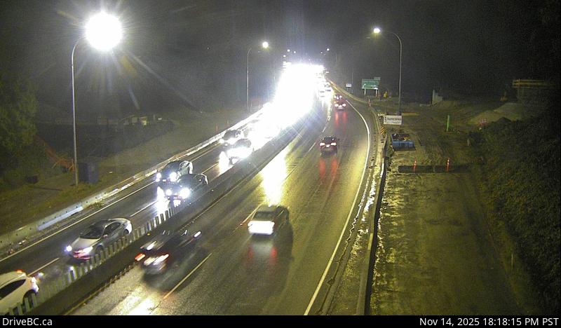 WorkingStill imageHighway 1, Lynn Valley Road, looking west
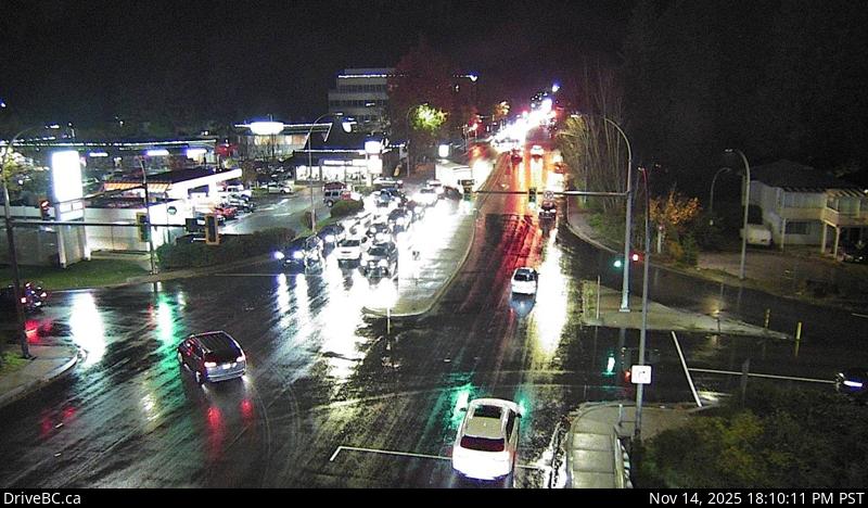 WorkingStill imageHighway 1, Westview, looking north
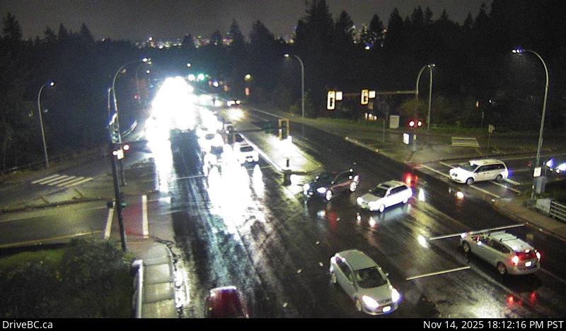 WorkingStill imageHighway 1, Westview, looking south
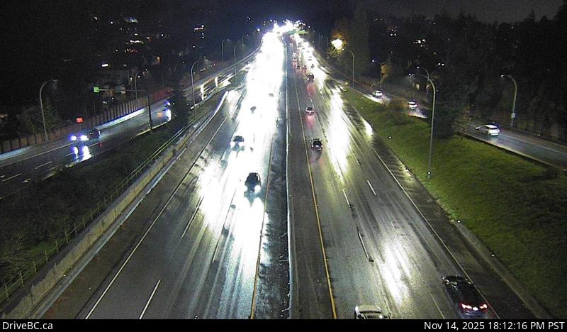 WorkingStill imageHighway 1, Westview, looking east
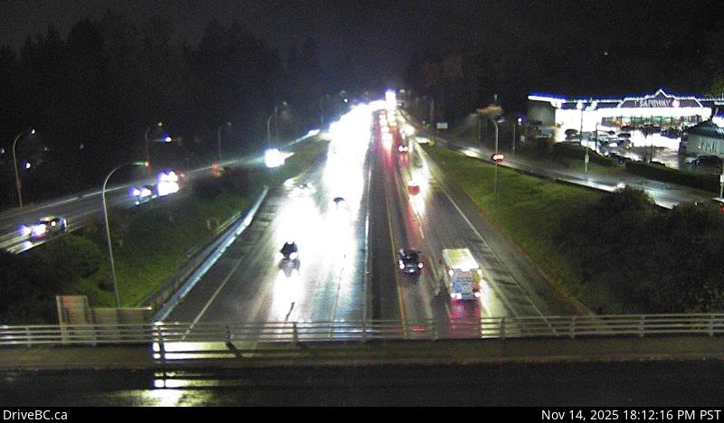 WorkingStill imageHighway 1, Westview, looking west
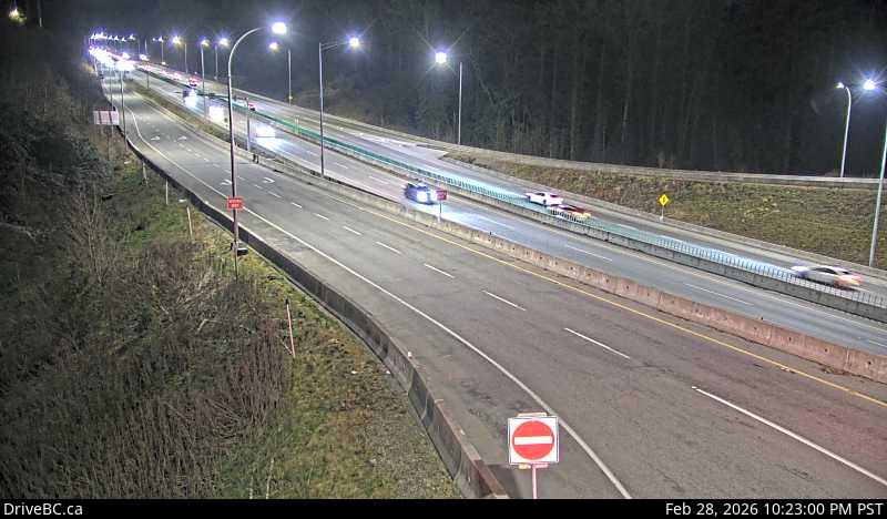 WorkingStill imageHighway 1, Mountain Highway, looking south
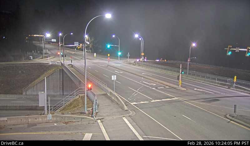 WorkingStill imageHighway 1, Mountain Highway, looking west
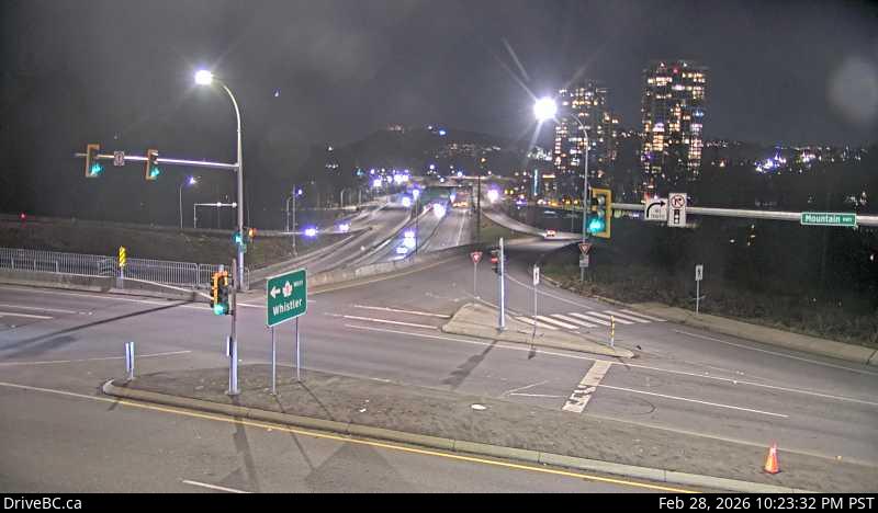 WorkingStill imageHighway 1, Mountain Highway, looking east
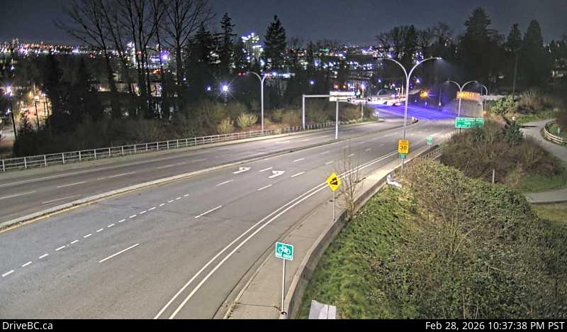 WorkingStill imageHighway 1, Mountain Highway, looking north
 WorkingStill imageHighway 1, Ironworkers North approach, looking north
 WorkingStill imageHighway 1, Ironworkers North approach, looking south
 WorkingStill imageHighway 1, Ironworkers North, looking south
 WorkingStill imageHighway 1, Ironworkers North, looking north
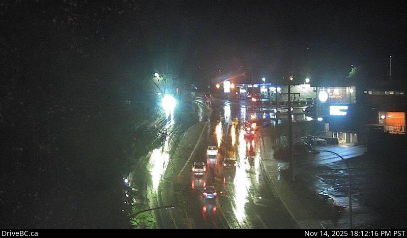 WorkingStill imageHighway 1, Capilano, looking north
 WorkingStill imageHighway 1, Capilano, looking west
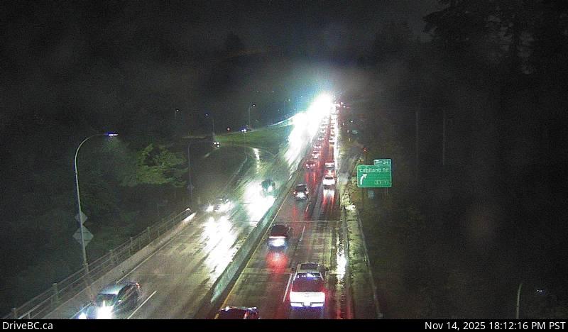 WorkingStill imageHighway 1, Capilano, looking east
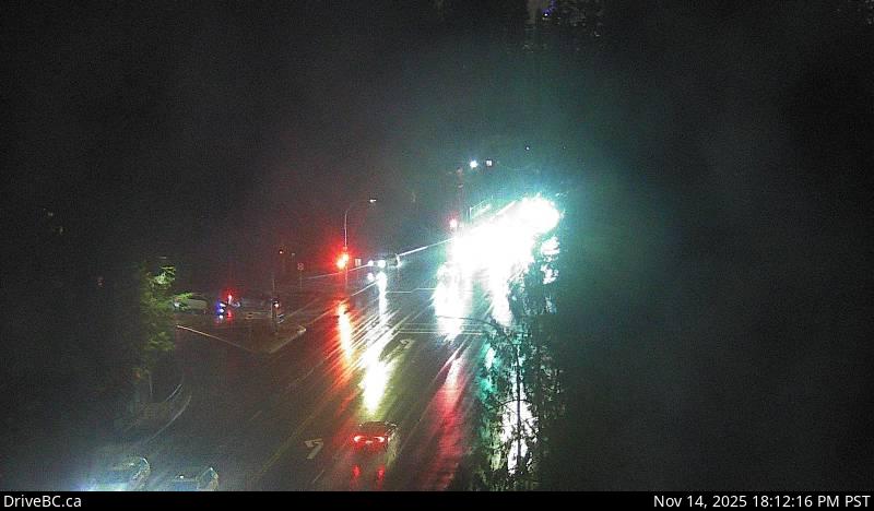 WorkingStill imageHighway 1, Capilano, looking south
 WorkingStill imageHighway 1, Ironworkers midspan
 WorkingStill imageHighway 1, Ironworkers South eastbound
 WorkingStill imageHighway 1, Ironworkers South westbound
 WorkingStill imageHighway 99, LGB North End 2
 WorkingStill imageHighway 99, LGB North End 1
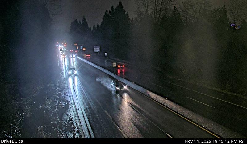 WorkingStill imageHighway 1, Hwy 1 at Hadden Drive Ramp, looking east
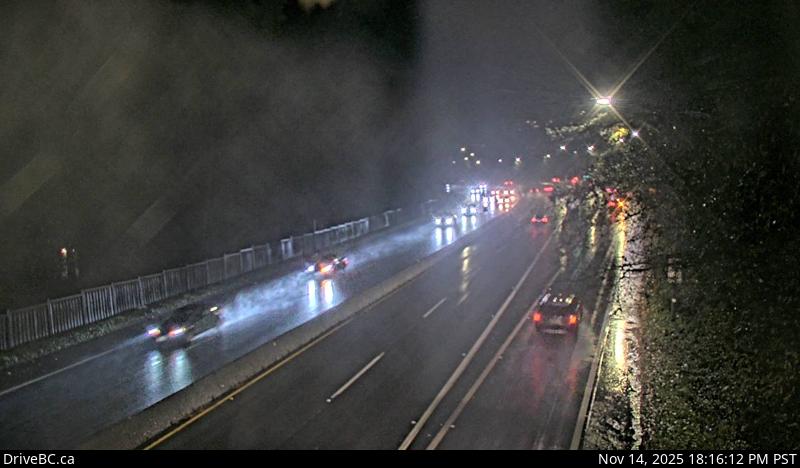 WorkingStill imageHighway 1, Hwy 1 at Hadden Drive Ramp, looking west
 WorkingStill imageHighway 99, Marine Drive
 WorkingStill imageHighway 99, Taylor Way
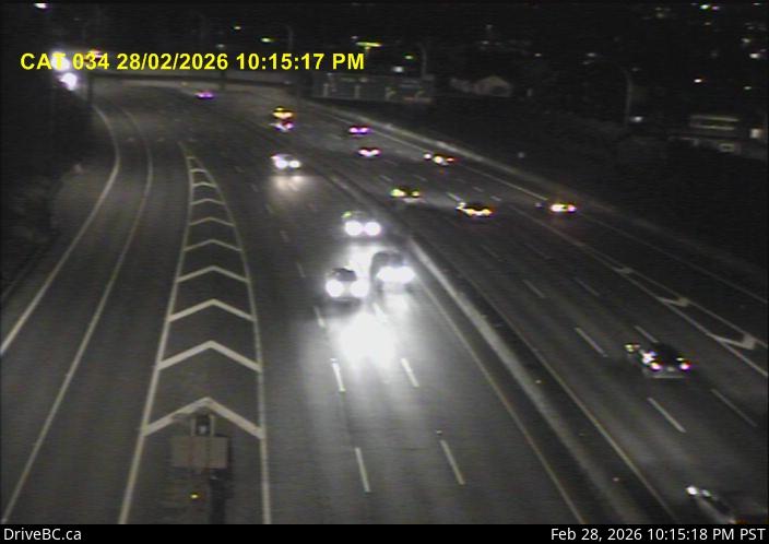 WorkingStill imageHighway 1, Cassiar Tunnel
 WorkingStill imageHighway 99, Causeway
 WorkingStill imageHighway 99, Georgia Street
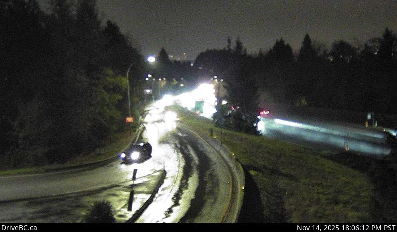 WorkingStill imageHighway 1, Cross Creek, looking east
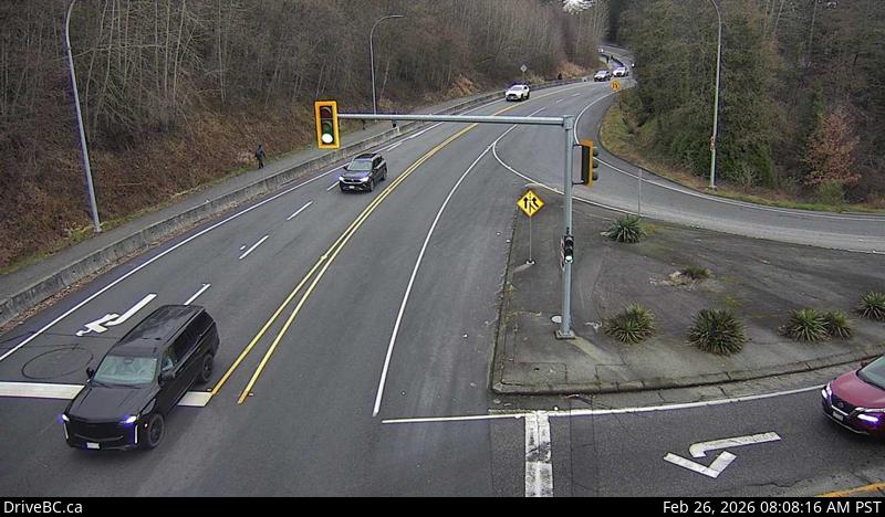 WorkingStill imageHighway 1, Cross Creek, looking north
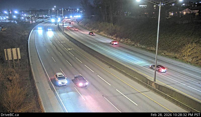 WorkingStill imageHighway 1, Douglas Road, looking east
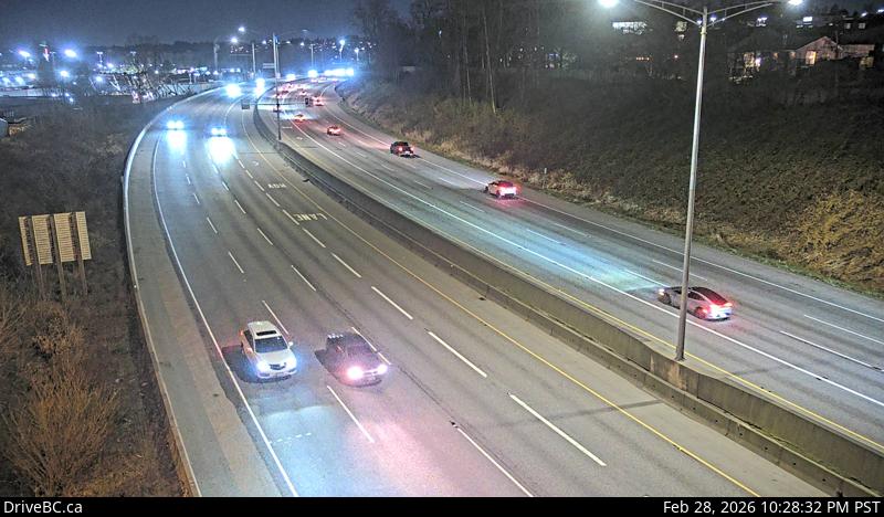 WorkingStill imageHighway 1, Douglas Road, looking west
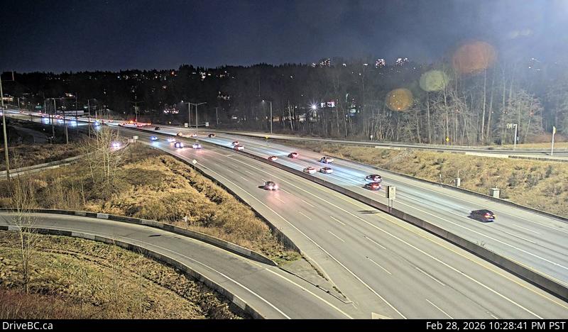 WorkingStill imageHighway 1, Kensington Avenue, looking east
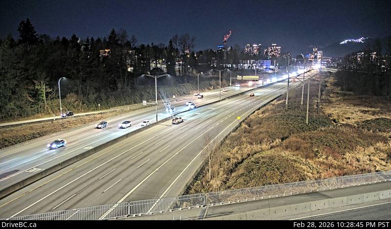 WorkingStill imageHighway 1, Kensington Avenue, looking west
 WorkingStill imageKnight Street Bridge northend, looking north
 WorkingStill imageKnight Street Bridge northend, looking south
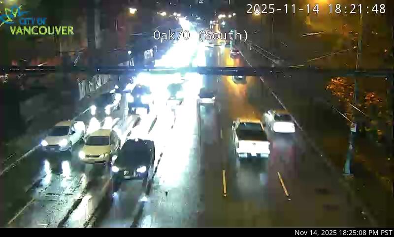 WorkingStill imageHighway 99, Oak Street at 70 Avenue, looking south
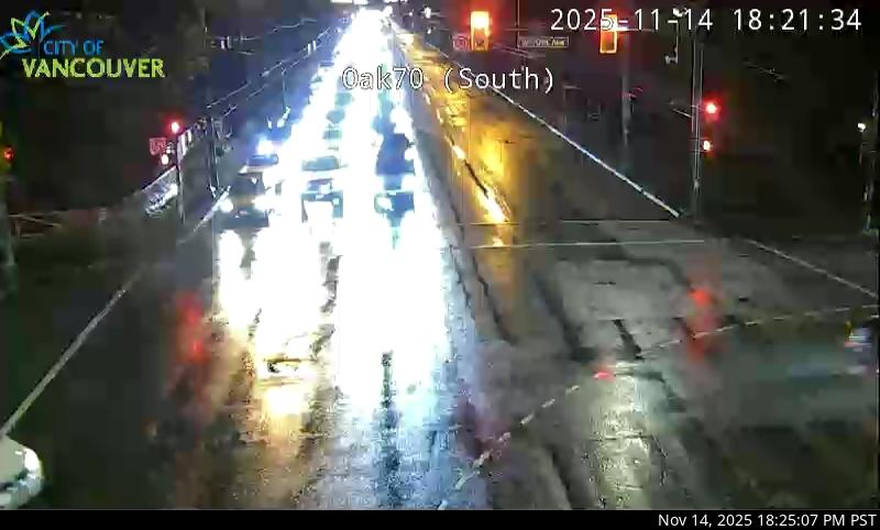 WorkingStill imageHighway 99, Oak Street at 70 Avenue, looking north
 WorkingStill imageKnight Street Bridge southend, looking north
 WorkingStill imageKnight Street Bridge southend, looking south
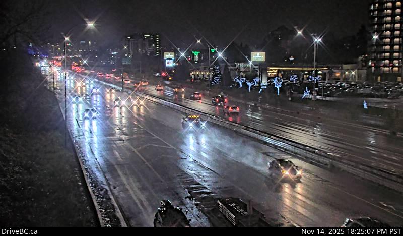 WorkingStill imageHighway 99, Hwy 99 at Cambie, looking north
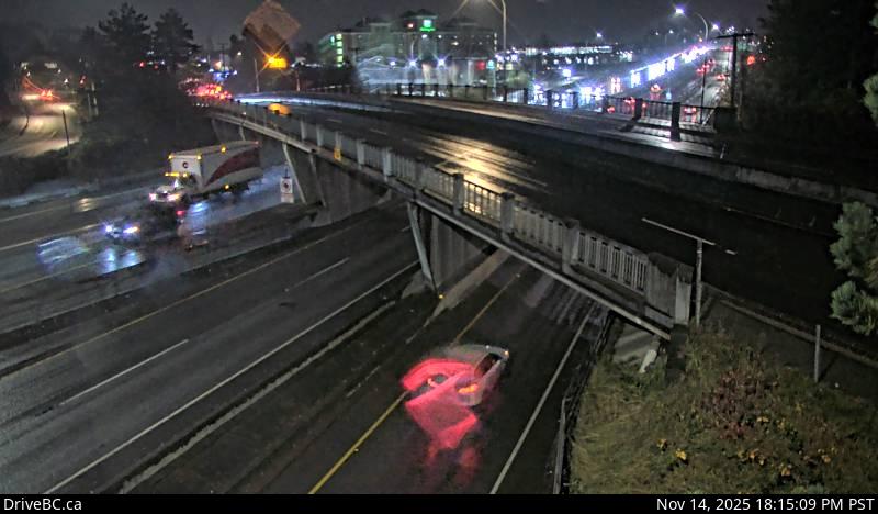 WorkingStill imageHighway 99, Hwy 99 at Cambie, looking south
No live video among these cameras. Turn off "Live video only" to see them all.
Best cams to watch
- Highway 1, Lonsdale, looking north — Still image · every 15 min, working 100 % of the time in the last 30 days.
- Highway 1, Lonsdale, looking east — Still image · every 15 min, working 100 % of the time in the last 30 days.
- Highway 1, Lonsdale, looking south — Still image · every 15 min, working 100 % of the time in the last 30 days.
North Vancouver lies on the North Shore of Burrard Inlet, facing downtown Vancouver across the water. The name covers two separate municipalities: the compact City of North Vancouver, built around Lonsdale Avenue with about 58,000 residents in 2021, and the larger District of North Vancouver that wraps around it and climbs into the mountains. Lonsdale Quay Market and The Shipyards, on the site of the old Wallace shipyard, anchor the waterfront, and the SeaBus ferry crosses to Waterfront Station in about twelve minutes. Behind the city the slopes rise steeply toward Grouse Mountain, while Lynn Canyon and the Capilano Suspension Bridge sit in the district.
The cameras gathered here are DriveBC traffic views on the North Shore highway network. The Upper Levels Highway, part of Highway 1, crosses the hillside above town, and two bridges tie the North Shore to the rest of the region: the Ironworkers Memorial Second Narrows Crossing to the east and the Lions Gate Bridge to the west. Interchanges near those crossings are where backups form first, so the views help in deciding when to cross. Each picture is a still frame that refreshes every few minutes.
North Vancouver now runs on Pacific time year-round after British Columbia dropped the autumn clock change in 2026. In December that means sunrise after nine and a sunset near a quarter past five. Rain is the defining feature of the North Shore winter: the city averages well over 1,800 millimeters a year, with November the wettest month, so wet pavement and low cloud are normal in the images. Weekday rush hours, especially the afternoon return over the bridges, show the heaviest traffic, while summer weekend mornings bring hikers heading for the trails.
Across the inlet the downtown Vancouver skyline is the obvious landmark, and West Vancouver begins just past the Capilano River.
Sources: North Vancouver (city) - Wikipedia · B.C.'s new time zone (Pacific time) - Province of British Columbia · DriveBC.
Nearby places
- Surrey (212)
- Fleetwood (126)
- Vancouver (120)
- New Westminster (111)
- Langley (107)
- Burnaby (102)
- Delta (78)
- Maple Ridge (76)
Questions about North Vancouver
How many cameras does LiveLocation have in North Vancouver?
LiveLocation lists 48 cameras in and around North Vancouver, Canada: 0 live video, 48 still images. 48 of them were live or showing a fresh image at the last check.
Where do the North Vancouver cameras come from?
All of them come from DriveBC (48). Each camera plays straight from the agency or owner that runs it, with credit. DriveBC
What kinds of views are there in North Vancouver?
The views are traffic and highway (44) and bridge (4). Good ones to start with: Highway 1, Lonsdale, looking north and Highway 1, Lonsdale, looking east. Highway 1, Lonsdale, looking north Highway 1, Lonsdale, looking east
Is there live video from North Vancouver?
Not yet: the cameras here send still images that refresh about every 11 minutes. The map can show only live-video cameras nearby. Live video on the map
When is the best time to watch the North Vancouver cameras?
North Vancouver is on America/Vancouver time. On October 7 the sun rises at 7:21 AM and sets at 6:38 PM, so still images are clearest between those times. Road cameras show the most traffic in the weekday morning and evening rush hours.
Are there live cameras near North Vancouver?
The nearest are Vancouver (5.3 km away, 120 cameras), West Vancouver (6.7 km away, 27 cameras) and Riley Park (8.3 km away, 17 cameras). Vancouver West Vancouver Riley Park
Is there a map of the cameras in North Vancouver?
The map at the top of this page shows all 48 of them. The live camera radar centers on North Vancouver and lists every camera within 5 to 250 km, nearest first, with filters for live video, traffic, nature and more. Open the radar on North Vancouver
Place names and locations: GeoNames, licensed under CC BY 4.0.