Live cameras in White Rock, Canada
31 cameras: 0 live video, 31 still images · 31 working now · updated Oct 8, 03:31 UTC
White Rock has 31 live cameras on LiveLocation right now: 0 live video, 31 still images. Good places to start: Highway 99, Hwy 99 at 16 Avenue, looking east, Highway 99, Hwy 99 at 16 Avenue, looking north, Highway 99, Hwy 99 at 16 Avenue, looking south. Local time is 8:31 PM (America/Vancouver). Today the sun rises at 7:20 AM and sets at 6:37 PM.
White Rock live cameras
Watch White Rock live webcams: 0 live video, 31 still images. 31 were working at the last check. White Rock is home to about 24,000 people.
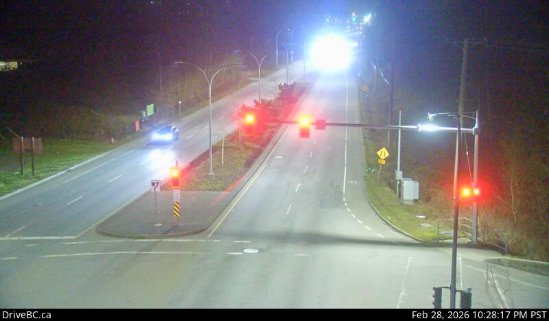 WorkingStill imageHighway 99, Hwy 99 at 16 Avenue, looking east
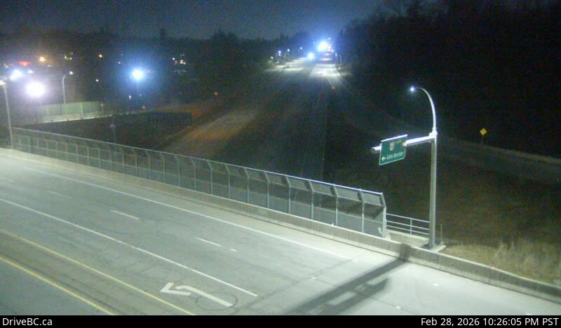 WorkingStill imageHighway 99, Hwy 99 at 16 Avenue, looking north
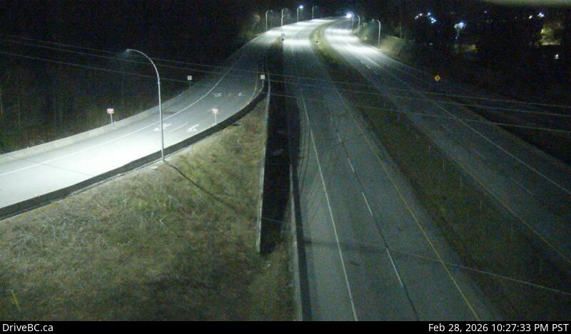 WorkingStill imageHighway 99, Hwy 99 at 16 Avenue, looking south
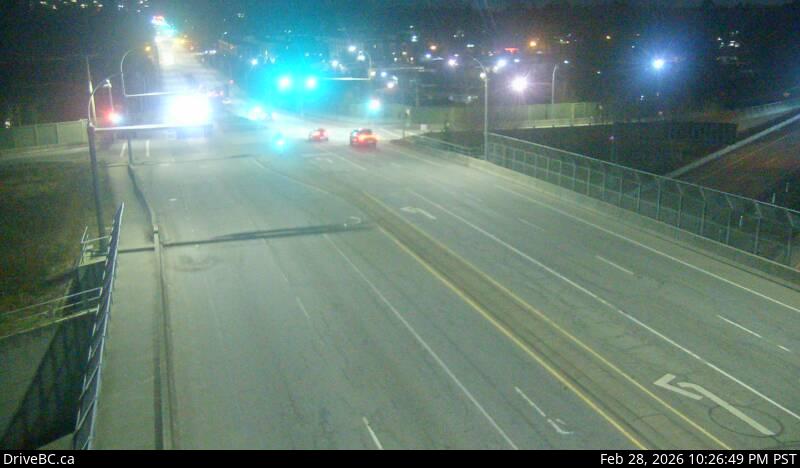 WorkingStill imageHighway 99, Hwy 99 at 16 Avenue, looking west
 WorkingStill imageHighway 99, Hwy 99 at 8 Avenue, looking north
 WorkingStill imageHighway 99, Hwy 99 at 8 Avenue, looking west
 WorkingStill imageHighway 99, Hwy 99 at 8 Avenue, looking south
 WorkingStill imageHighway 99, Beach Road, looking south
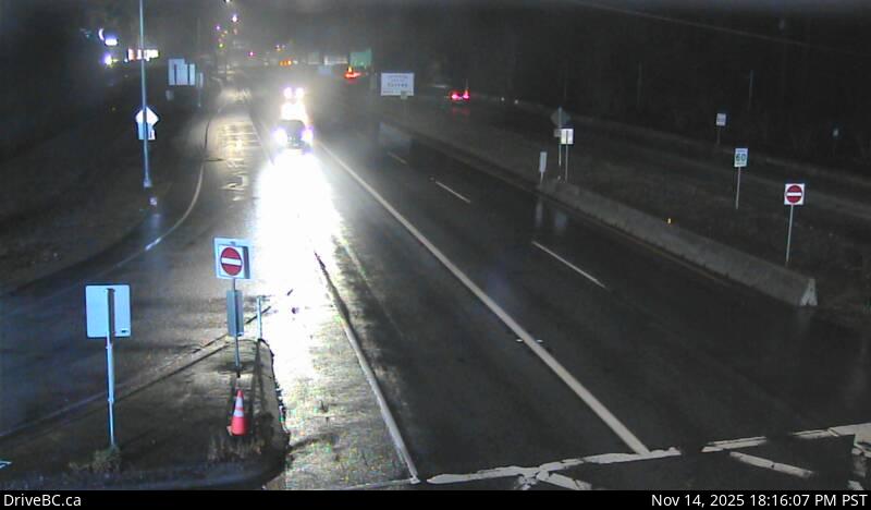 WorkingStill imageHighway 99, Beach Road, looking north
 WorkingStill imageHighway 99, Douglas (Peace Arch) Border Crossing
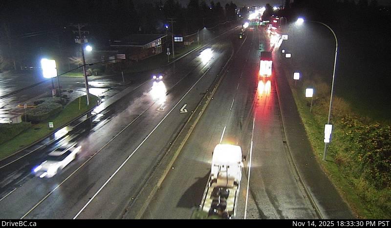 WorkingStill imageHighway 15, Hwy 15 at 8 Avenue, looking south
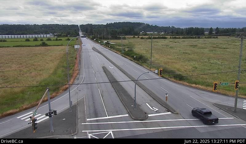 WorkingStill imageHighway 15, Hwy 15 at 8 Avenue, looking north
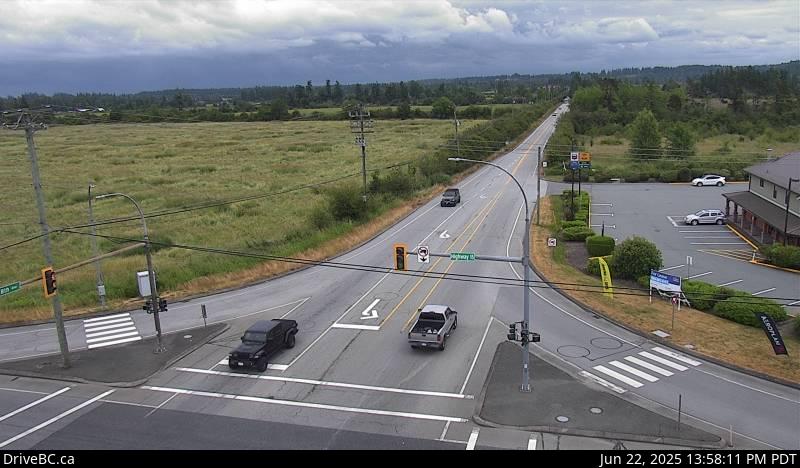 WorkingStill imageHighway 15, Hwy 15 at 8 Avenue, looking east
 WorkingStill imageHighway 15, Hwy 15 at 8 Avenue, looking west
 WorkingStill imageHighway 15, Hwy 15 at 16 Avenue, looking south
 WorkingStill imageHighway 15, Hwy 15 at 16 Avenue, looking north
 WorkingStill imageHighway 15, Hwy 15 at 16 Avenue, looking west
 WorkingStill imageHighway 15, Hwy 15 at 16 Avenue, looking east
 WorkingStill imageHighway 15, Second Avenue, looking south
 WorkingStill imageHighway 15, Second Avenue, looking north
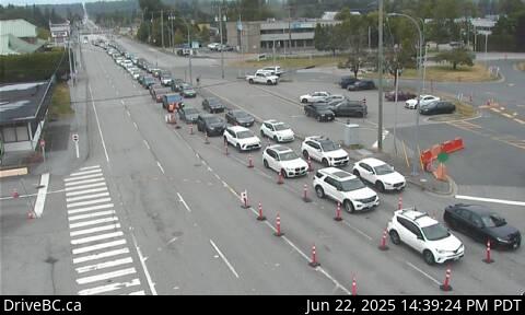 WorkingStill imageHighway 15, Pacific Highway (Truck Crossing) Border Crossing
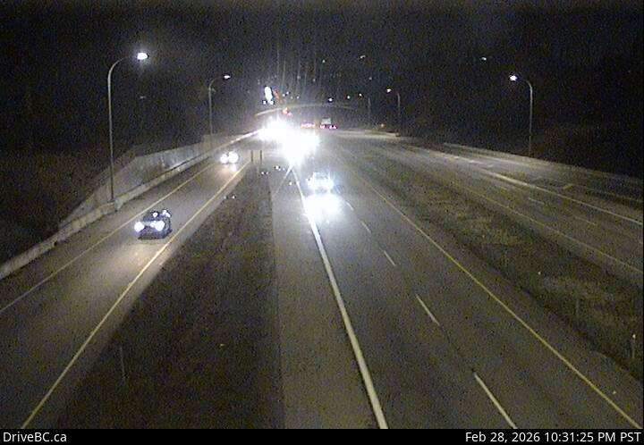 WorkingStill imageHighway 99, Hwy 99 - 32 Avenue Diversion, looking north
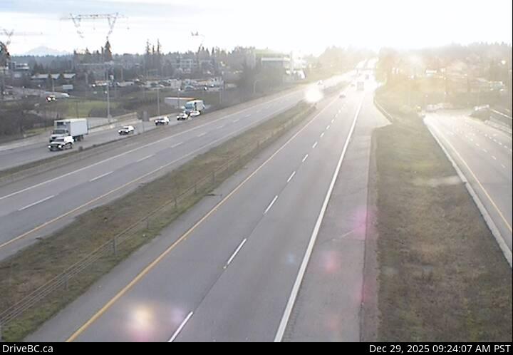 WorkingStill imageHighway 99, Hwy 99 - 32 Avenue Diversion, looking south
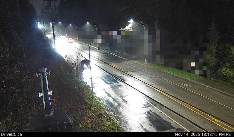 WorkingStill imageHighway 15, Hwy 15 at 24 Avenue, looking west
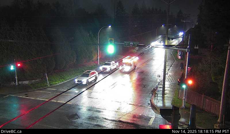 WorkingStill imageHighway 15, Hwy 15 at 24 Avenue, looking east
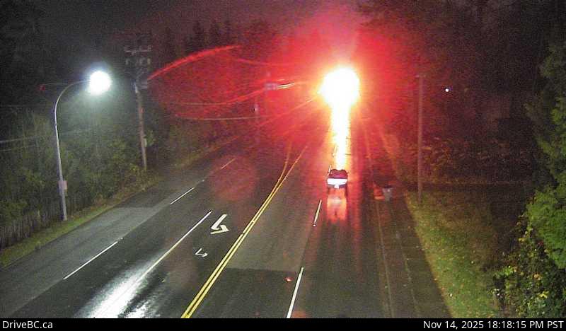 WorkingStill imageHighway 15, Hwy 15 at 24 Avenue, looking south
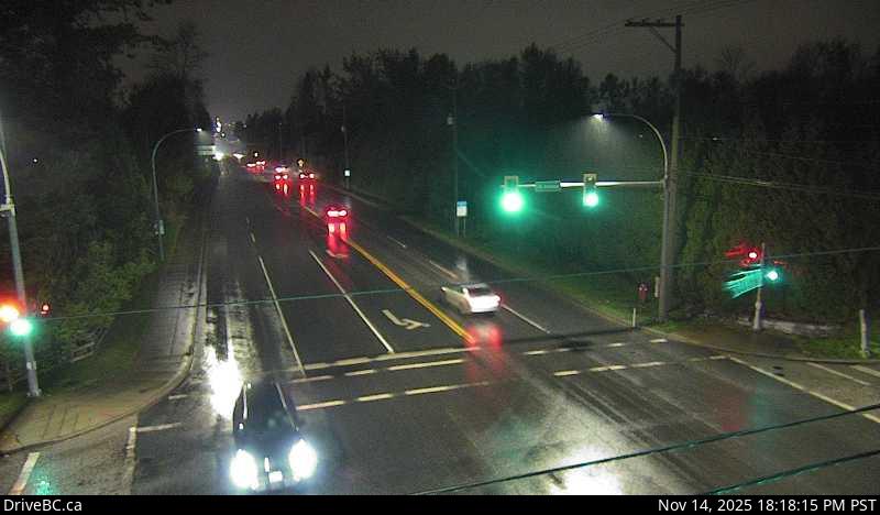 WorkingStill imageHighway 15, Hwy 15 at 24 Avenue, looking north
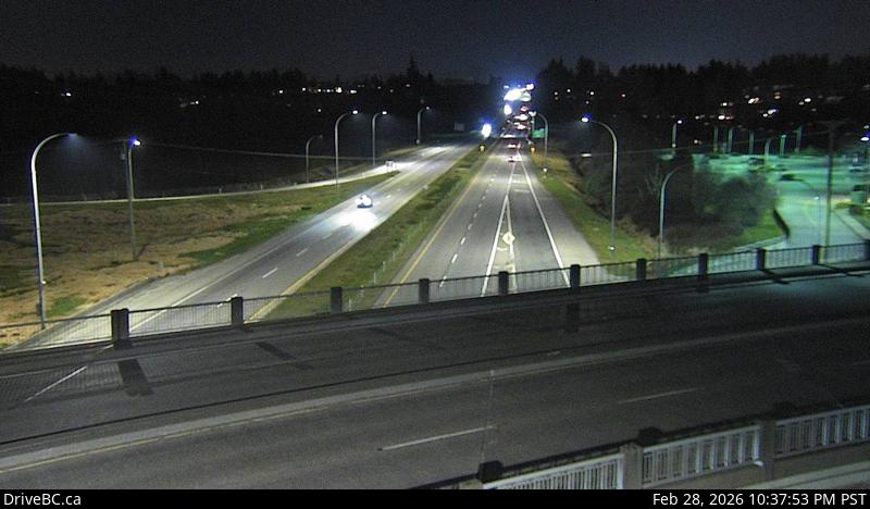 WorkingStill imageHighway 99, Hwy 99 at King George Boulevard, looking south
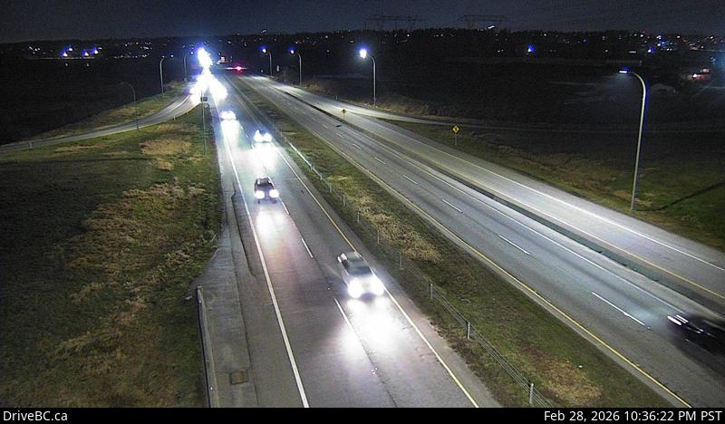 WorkingStill imageHighway 99, Hwy 99 at King George Boulevard, looking north
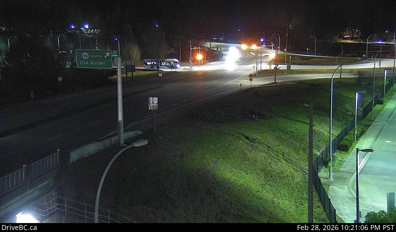 WorkingStill imageHighway 99, Hwy 99 at King George Boulevard, looking west
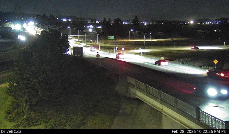 WorkingStill imageHighway 99, Hwy 99 at King George Boulevard, looking east
No live video among these cameras. Turn off "Live video only" to see them all.
Best cams to watch
- Highway 99, Hwy 99 at 16 Avenue, looking east — Still image · every 13 min, working 100 % of the time in the last 30 days.
- Highway 99, Hwy 99 at 16 Avenue, looking north — Still image · every 13 min, working 100 % of the time in the last 30 days.
- Highway 99, Hwy 99 at 16 Avenue, looking south — Still image · every 13 min, working 100 % of the time in the last 30 days.
White Rock is a small seaside city on Semiahmoo Bay, at the southern edge of Metro Vancouver and only a few minutes from the US border. Surrey surrounds it on three sides, and the 2021 census counted about 22,000 residents. The city takes its name from a large glacial boulder on the beach, painted white and once whitened by seabirds, which served as a landmark for sailors. The long wooden pier, first opened in 1914, was badly damaged in a December 2018 windstorm and reopened in 2019 after repairs. A BNSF rail line runs along the promenade, carrying freight trains and Amtrak Cascades passenger service between Seattle and Vancouver. The Semiahmoo First Nation's reserve lies just to the southeast.
Border and highway views
Some of the cameras assigned to this page are DriveBC border views, because the nearest crossings are close by. The Peace Arch crossing, where Highway 99 meets Interstate 5 at Blaine, Washington, sits just east of the city in Surrey, and the Pacific Highway crossing, about a mile farther east on Highway 15, handles trucks as well as cars. Peace Arch itself is among the busiest crossings on the whole Canada and US border. Their cameras show the lineups heading into the United States, which makes them useful for travelers planning a trip south. Other views follow Highway 99 north toward Vancouver. All of them post still images every few minutes.
White Rock's clocks now hold at UTC minus seven through every season, matching the rest of coastal British Columbia since 2026. Long weekends and summer holidays bring the longest border queues, while weekday mornings are usually lighter. On clear days Mount Baker shows to the southeast, and summer sunsets over the bay come after nine.
The Spirit of the Sea Festival on the waterfront each August is the big local celebration. Crescent Beach and Blackie Spit in South Surrey, on the shore of Boundary Bay, are a short drive west.
Sources: White Rock, British Columbia - Wikipedia · Peace Arch Border Crossing - Wikipedia · B.C.'s new time zone (Pacific time) - Province of British Columbia.
Nearby places
- Surrey (212)
- Fleetwood (126)
- Vancouver (120)
- New Westminster (111)
- Langley (107)
- Burnaby (102)
- Delta (78)
- Maple Ridge (76)
Questions about White Rock
How many cameras does LiveLocation have in White Rock?
LiveLocation lists 31 cameras in and around White Rock, Canada: 0 live video, 31 still images. 31 of them were live or showing a fresh image at the last check.
Where do the White Rock cameras come from?
All of them come from DriveBC (31). Each camera plays straight from the agency or owner that runs it, with credit. DriveBC
What kinds of views are there in White Rock?
The views are traffic and highway (18) and border crossing (13). Good ones to start with: Highway 99, Hwy 99 at 16 Avenue, looking east and Highway 99, Hwy 99 at 16 Avenue, looking north. Highway 99, Hwy 99 at 16 Avenue, looking east Highway 99, Hwy 99 at 16 Avenue, looking north
Is there live video from White Rock?
Not yet: the cameras here send still images that refresh about every 13 minutes. The map can show only live-video cameras nearby. Live video on the map
When is the best time to watch the White Rock cameras?
White Rock is on America/Vancouver time. On October 7 the sun rises at 7:20 AM and sets at 6:37 PM, so still images are clearest between those times. Road cameras show the most traffic in the weekday morning and evening rush hours.
Are there live cameras near White Rock?
The nearest are Surrey (9.8 km away, 212 cameras), Langley (13 km away, 107 cameras) and Strawberry Hill (14 km away, 39 cameras). Surrey Langley Strawberry Hill
Is there a map of the cameras in White Rock?
The map at the top of this page shows all 31 of them. The live camera radar centers on White Rock and lists every camera within 5 to 250 km, nearest first, with filters for live video, traffic, nature and more. Open the radar on White Rock
Place names and locations: GeoNames, licensed under CC BY 4.0.