Mount Rainier sunrise live cam – Mount Rainier: Rainier (PAUL, Mowich River)
Intermittent Still image · every 10 min Volcano · Official source · What camera types mean
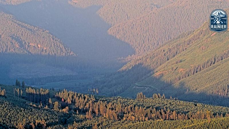
What you are looking at
From the same station near Paul Peak, this camera looks east up the Mowich River valley toward the northwest flank of Mount Rainier. The frame shows the forested valley walls, logged patches and the green valley floor rather than the summit itself, because its job is to watch the river corridor down which glacial outburst floods or lahars from the Mowich glaciers would travel.
The Mowich River drains the North and South Mowich and Edmunds glaciers on Rainier's northwest side and joins the Puyallup River, which flows on toward the lowland towns of Pierce County. Lahars from Rainier have reached those lowlands in the geologic past, which is why USGS monitors these drainages closely. Check the USGS Cascades Volcano Observatory page for the current Rainier alert level.
Expect a new still roughly every ten minutes. Expect bright fall color on deciduous trees, snow on the valley sides in winter, and morning fog that fills the valley bottom and lifts by midday. Night images are dark. Tip: low cloud in this valley does not mean the mountain is hidden; check the Mowich Face camera from the same station for the summit view.
Camera details
- Camera ID
- rainier-mowich-river
- Operator
- Cascades Volcano Observatory (USGS)
- Name at the provider
- CVO Rainier (PAUL, Mowich River)
- Volcano
- Mount Rainier
- Volcano number (Smithsonian GVP)
- 321030
- Elevation
- 900 m / 2,953 ft
- Camera faces
- East (95°)
- Image updates
- Every 10 min
- Video format
- Still image (JPEG)
- Position
- Exact (from the provider)
- Licence
- U.S. public domain
- Data source
- USGS volcano webcams
- Last checked
- Oct 7, 19:45 UTC (8 h ago)
- Working, last 7 days
- 0 % of checks
From the provider's own camera list and our automatic checks. Readings and details can change without notice.
About Mount Rainier, Washington
Weather now in Mount Rainier: 50 °F (10 °C), clear sky, wind 3 mph (5 km/h) from the northeast. Forecast for 9 PM local time. Weather: MET Norway (CC BY 4.0)
Mount Rainier is a place in Washington, United States. The camera is about 16 mi from the center, 2,953 ft (900 m) above sea level. Mount Rainier keeps America/Los Angeles time (UTC−7 at the moment); the panel above shows the local time live.
Mount Rainier is the highest peak in the Cascade Range, a glacier-covered volcano that stands about 14,400 feet above sea level, roughly 60 miles southeast of Seattle and Tacoma. It carries 26 major glaciers and more ice than any other peak in the lower 48 states. Mount Rainier National Park, created in 1899, was the fifth national park in the United States. On the south side, Paradise, at about 5,400…
On the map
Live cameras near Mount Rainier
 WorkingStill imageMount Baker: Baker (PAUL, Easton Glacier)
 WorkingStill imageMount Rainier: Rainier (PAUL, Mowich Face)
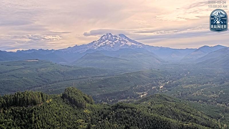 WorkingStill imageMount Rainier: Rainier (PAUL, Puyallup Drainage)
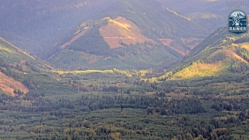 WorkingStill imageMount Rainier: Rainier (PAUL, Puyallup River)
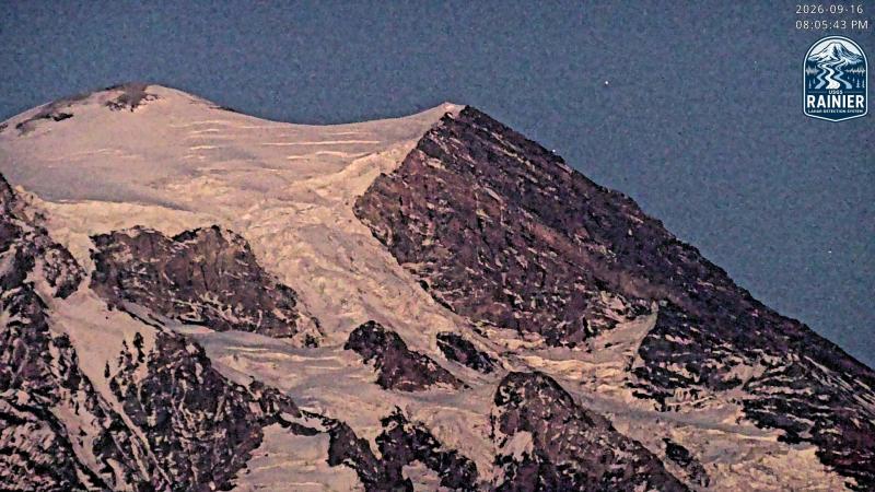 IntermittentStill imageMount Rainier: Rainier (PAUL, Tahoma Headwall)
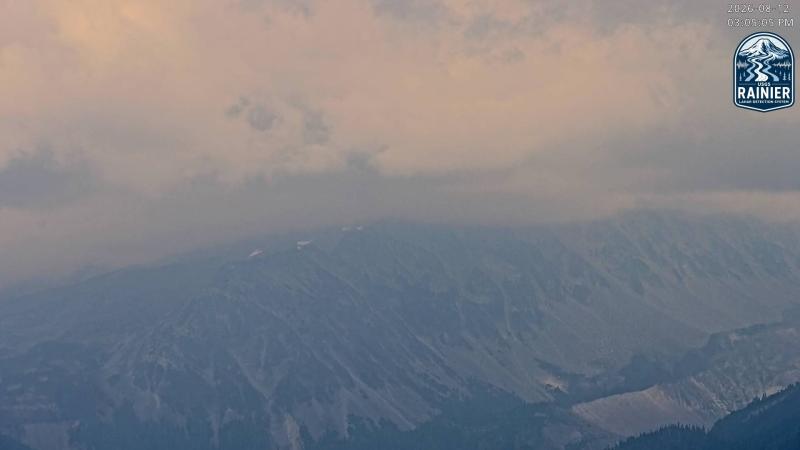 WorkingStill imageMount Rainier: Rainier (PAUL, Observation Rock)
The nearest other cameras are Mount Baker: Baker (PAUL, Easton Glacier) (0.0 mi), Mount Rainier: Rainier (PAUL, Mowich Face) (0.0 mi) and Mount Rainier: Rainier (PAUL, Puyallup Drainage) (0.0 mi).
All Mount Rainier live cameras · Camera radar centered here · More from USGS volcano observatories
Questions about Mount Rainier: Rainier (PAUL, Mowich River)
Can I watch Mount Rainier: Rainier (PAUL, Mowich River) live right now?
It has been intermittent: at our last check (Oct 7, 19:45 UTC) the picture had not changed for a while. It is a still image, not video: a new photo arrives about every 10 minutes straight from Cascades Volcano Observatory (USGS).
Who operates the Mount Rainier: Rainier (PAUL, Mowich River) camera?
Cascades Volcano Observatory (USGS) runs this camera, as part of the U.S. Geological Survey (USGS) Volcano Hazards Program. It is an official source. Its images are in the U.S. public domain. LiveLocation shows them straight from the source with credit. About USGS volcano observatories Watch at the source
Where is the Mount Rainier: Rainier (PAUL, Mowich River) camera?
It is about 16 mi from the center of Mount Rainier, Washington, United States. Coordinates: 46.928, -122.080. All cameras in Mount Rainier
What is the local time at Mount Rainier?
Mount Rainier is in the America/Los Angeles time zone. The "Right now" panel above shows the local time live. On October 7 the sun rises at 7:15 AM and sets at 6:36 PM there.
Can I see other cameras nearby?
Yes: 7 other cameras are within 25 miles of this one. The live camera radar shows them all on a map, nearest first. Open the radar here
Where can I check the alert level for this volcano?
Cascades Volcano Observatory (USGS) sets the U.S. Volcano Alert Level and Aviation Color Code for this volcano, not LiveLocation. Read its latest update before you plan a visit; the camera alone cannot tell you how safe it is. USGS volcano updates Official camera page
What do the sensors at Mount Rainier: Rainier (PAUL, Mowich River) show?
The latest readings from the provider: Volcano alert level: NORMAL · aviation code GREEN; Last USGS notice: Aug 25, 2025, 15:38 local time; Issued by: Cascades Volcano Observatory (USGS). They update with the provider's data, so they can be a few minutes old.