Live cameras in Clearlake, United States
25 cameras: 0 live video, 25 still images · 25 working now · updated Oct 8, 03:31 UTC
Clearlake has 25 live cameras on LiveLocation right now: 0 live video, 25 still images. Good places to start: SR-29 at 53 JCT, Lower Lake, SR-20 at West Of SR-53, looking East, Clearlake, SR-53 SR53 at 40th/Lakeshore Dr, Clear Lake. Local time is 8:31 PM (America/Los Angeles). Today the sun rises at 7:12 AM and sets at 6:43 PM.
Clearlake live cameras
Every Clearlake live camera we know of: 0 live video, 25 still images. 25 were working at the last check. Clearlake is home to about 15,000 people.
 WorkingStill imageSR-29 at 53 JCT, Lower Lake
 WorkingStill imageSR-20 at West Of SR-53, looking East, Clearlake
 WorkingStill imageSR-53 SR53 at 40th/Lakeshore Dr, Clear Lake
 WorkingStill imageSR-53 at 18th Ave, Clearlake
 WorkingStill imageSR-53 LAK 53 at S of 20 JCT (Dome, Sign), Clearlake
 WorkingStill imageSR-53 LAK 53 at S of 20 JCT (Dome, South), Clearlake
 WorkingStill imageSR-53 at Dam Rd (South), Clearlake
 WorkingStill imageSR-53 at N of 29 JCT, looking North, Clear Lake
 WorkingStill imageSR-53 at N of 29 JCT, looking South, Clear Lake
 WorkingStill imageSR-29 at Point Lakeview Rd, looking North, Lower Lake
 WorkingStill imageSR-29 at S of 53 JCT, looking North, Lower Lake
 WorkingStill imageSR-20 at Just East Of SR-53, looking East (CXXX), Clearlake
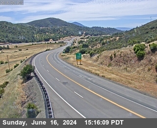 WorkingStill imageSR-20 at Just East Of SR-53, looking West, Clearlake
 WorkingStill imageSR-20 at West Of SR-53, looking West, Clearlake
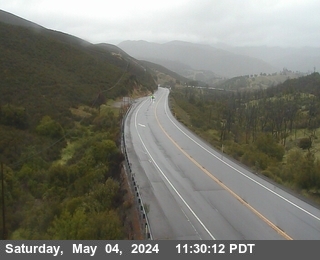 WorkingStill imageSR-20 at East Of SR-53, looking East, Clearlake Oaks
 WorkingStill imageSR-20 at East Of SR-53, looking West, Clearlake Oaks
 WorkingStill imageSR-29 at Live Oak (Kelseyville), North, Kelseyville
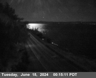 WorkingStill imageSR-20 at E Lucerne, looking North, East Lucerne
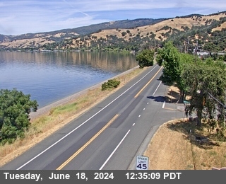 WorkingStill imageSR-20 at E Lucerne, looking South, East Lucerne
 WorkingStill imageSR-175 LAK-175-26.551 at Looking North, Middletown
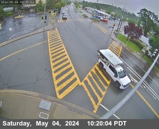 WorkingStill imageSR-29 at Wardlaw (North), Middletown
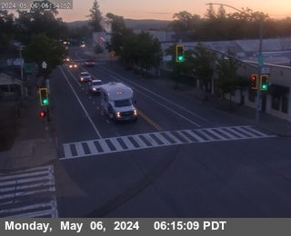 WorkingStill imageSR-29 at 29-175 Jct, Middletown, North, Middletown
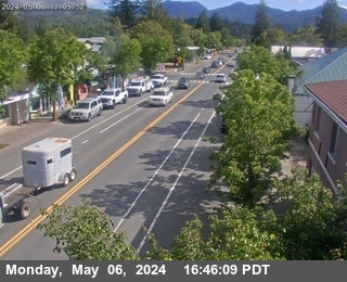 WorkingStill imageSR-29 at 29-175 Jct, Middletown, South, Middletown
 WorkingStill imageSR-29 at 175 JCT (Lakeport), South, Lakeport
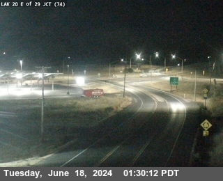 WorkingStill imageSR-20 at Nice-Lucerne Cutoff, looking West, Nice
No live video among these cameras. Turn off "Live video only" to see them all.
Best cams to watch
- SR-29 at 53 JCT, Lower Lake — Still image · every 10 min, working 100 % of the time in the last 30 days.
- SR-20 at West Of SR-53, looking East, Clearlake — Still image · every 15 min, working 100 % of the time in the last 30 days.
- SR-53 SR53 at 40th/Lakeshore Dr, Clear Lake — Still image · every 10 min.
Clearlake is a small city in Lake County, California, on the southeastern shore of Clear Lake, about a hundred miles north of San Francisco. It takes its name from the lake, the largest natural freshwater lake lying entirely within California, and it sits at about 1,400 feet above sea level. The 2020 census counted about 16,700 residents. The post office opened in 1923 under the name Konocti, the community was later known as Clearlake Highlands, and it became the City of Clearlake when it incorporated in 1981.
The Pomo people lived around the lake for thousands of years and named many of its landmarks, including Mount Konocti, the old volcano that rises above the western shore. Fishing for largemouth bass, boating and lakeside parks draw visitors, and the surrounding hills are dotted with vineyards.
Highways around the lake
Caltrans, the state highway department, provides these pictures through CWWP2, its public camera list, which QuickMap draws on as well. Each camera posts a still image every few minutes rather than live video. State Route 53 runs through Clearlake, linking Lower Lake in the south with State Route 20 near Clearlake Oaks, and the cameras watch the rural highways around the lake that locals use to reach the Bay Area, Sacramento and the coast. In this hilly county they are especially helpful for checking smoke, fog, rain and winter snow on the higher passes.
Lake County keeps Pacific Time. The climate is Mediterranean, with hot, dry summers and cool, wet winters, and the gap between afternoon heat and night chill can be large. Snow is rare in town, though it sometimes dusts the surrounding ridges. Late summer and fall are fire season in Lake County, which has seen several large wildfires, so the cameras can be a quick way to see whether skies are hazy. Sunrise over the lake comes early in summer.
Lower Lake, with its small historic downtown, is a few miles south, and Anderson Marsh State Historic Park protects wetlands and Pomo heritage sites between the two towns.
Sources: Clearlake, California - Wikipedia · California State Route 53 - Wikipedia · Caltrans QuickMap.
Nearby places
- San Francisco (276)
- Richmond (175)
- Oakland (172)
- Berkeley (171)
- Sacramento (157)
- Alameda (155)
- San Jose (145)
- Arden-Arcade (110)
Questions about Clearlake
How many webcams can I watch in Clearlake?
LiveLocation lists 25 cameras in and around Clearlake, United States: 0 live video, 25 still images. 25 of them were live or showing a fresh image at the last check.
Who runs the cameras in Clearlake?
All of them come from Caltrans (25). Each camera plays straight from the agency or owner that runs it, with credit. Caltrans
What can I see on the Clearlake cameras?
All of them show traffic and highway (25). Good ones to start with: SR-29 at 53 JCT, Lower Lake and SR-20 at West Of SR-53, looking East, Clearlake. SR-29 at 53 JCT, Lower Lake SR-20 at West Of SR-53, looking East, Clearlake
Can I watch live video from Clearlake?
Not yet: the cameras here send still images that refresh about every 13 minutes. The map can show only live-video cameras nearby. Live video on the map
What time is it in Clearlake, and when is it light?
Clearlake is on America/Los Angeles time. On October 7 the sun rises at 7:12 AM and sets at 6:43 PM, so still images are clearest between those times. Road cameras show the most traffic in the weekday morning and evening rush hours.
Which places near Clearlake also have cameras?
The nearest are Windsor (30 mi away, 2 cameras), Ukiah (34 mi away, 28 cameras) and Santa Rosa (36 mi away, 16 cameras). Windsor Ukiah Santa Rosa
How can I see the Clearlake cameras on a map?
The map at the top of this page shows all 25 of them. The live camera radar centers on Clearlake and lists every camera within 5 to 250 miles, nearest first, with filters for live video, traffic, nature and more. Open the radar on Clearlake
Place names and locations: GeoNames, licensed under CC BY 4.0.