Live cameras in Ukiah, United States
28 cameras: 0 live video, 28 still images · 28 working now · updated Oct 8, 07:44 UTC
Ukiah has 28 live cameras on LiveLocation right now: 0 live video, 28 still images. Good places to start: US-101 at Ukiah / State Street, looking South, Ukiah, US-101 at North Willits Bypass, looking South, Willits, US-101 at Ukiah / State Street, looking North, Ukiah. Local time is 12:44 AM (America/Los Angeles). Today the sun rises at 7:15 AM and sets at 6:44 PM.
Ukiah live cameras
Ukiah live cameras, all in one place: 0 live video, 28 still images. 28 were working at the last check. Ukiah is home to about 16,000 people.
Weather now in Ukiah: 66 °F (19 °C), clear sky, wind 2 mph (4 km/h) from the east. Forecast for 1 AM local time. Weather: MET Norway (CC BY 4.0)
 WorkingStill imageUS-101 at Ukiah / State Street, looking South, Ukiah
 WorkingStill imageUS-101 at North Willits Bypass, looking South, Willits
 WorkingStill imageUS-101 at Ukiah / State Street, looking North, Ukiah
 WorkingStill imageUS-101 at South Of SR-20, looking North, Ukiah
 WorkingStill imageUS-101 at South Of SR-20, looking South, Ukiah
 WorkingStill imageSR-20 at East Of US-101, looking East, Ukiah
 WorkingStill imageSR-20 at East Of US-101, looking West, Ukiah
 WorkingStill imageUS-101 at North Of SR-20, looking North, Redwood Valley
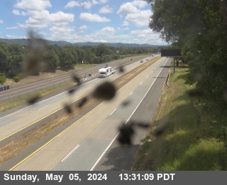 WorkingStill imageUS-101 at North Of SR-20, looking South, Redwood Valley
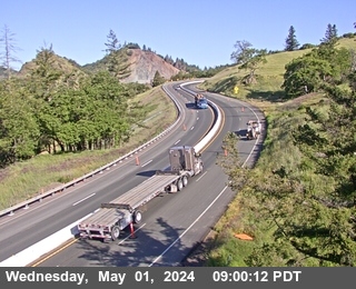 WorkingStill imageUS-101 at South Ridgewood Grade, looking North, Redwood Valley
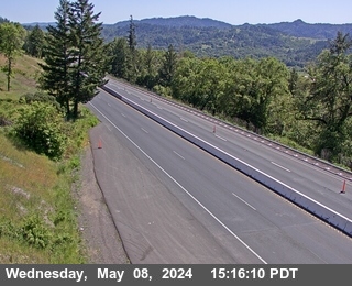 WorkingStill imageUS-101 at South Ridgewood Grade, looking South, Redwood Valley
 WorkingStill imageUS-101 at North Ridgewood Grade, looking North, Willits
 WorkingStill imageUS-101 at North Ridgewood Grade, looking South, Willits
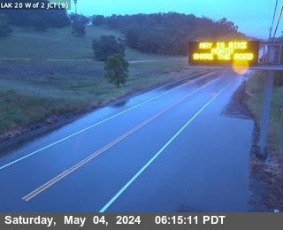 WorkingStill imageSR-20 at West Of SR-29, looking East, Upper Lake
 WorkingStill imageSR-20 at West Of SR-29, looking West, Upper Lake
 WorkingStill imageUS-101 at S of Hopland, looking South, Hopland
 WorkingStill imageSR-29 at S of 20 JCT, looking North, North Lakeport
 WorkingStill imageSR-175 LAK-175-0.280 at Looking South, Lake Port
 WorkingStill imageUS-101 at SR-20 Redwood Highway, looking North, Willits
 WorkingStill imageUS-101 at SR-20 Redwood Highway, looking South, Willits
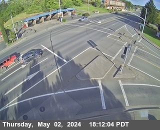 WorkingStill imageSR-20 SR20 at Evergreen (Willits), Willits
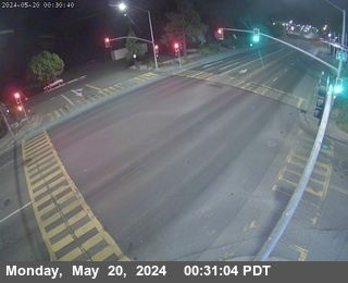 WorkingStill imageSR-20 SR20 at Holly St (Willits), Willits
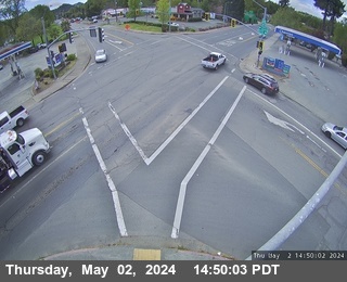 WorkingStill imageSR-20 SR20 at South St (Willits), Willits
 WorkingStill imageSR-20 at West Of US-101, looking East, Willits
 WorkingStill imageSR-20 at West Of US-101, looking West, Willits
 WorkingStill imageUS-101 at North Willits Bypass, looking North, Willits
 WorkingStill imageSR-1 at Gasker Slough, looking North (CXXX), Point Arena
 WorkingStill imageSR-1 at Gasker Slough, NB Paddle (CXXX), Point Arena
No live video among these cameras. Turn off "Live video only" to see them all.
Best cams to watch
- US-101 at Ukiah / State Street, looking South, Ukiah — Still image · every 5 min, working 100 % of the time in the last 30 days.
- US-101 at North Willits Bypass, looking South, Willits — Still image · every 15 min, working 100 % of the time in the last 30 days.
- US-101 at Ukiah / State Street, looking North, Ukiah — Still image · every 5 min.
Ukiah is the county seat and largest city of Mendocino County, California, set in the upper Russian River valley on the North Coast, about a two-hour drive north of San Francisco. Its population was roughly 16,600 in the 2020 count. The name comes from a Pomo village whose name is usually translated as deep valley. American settlement began in the 1850s, the town was incorporated in 1876, and the railroad arrived from Cloverdale in 1889. Vineyards and pear orchards fill the valley around town, and local wineries such as Parducci helped build the Mendocino wine region. The Grace Hudson Museum and Sun House honor the painter known for her portraits of Pomo people.
North Coast highway views
Caltrans District 1, the Eureka-based office for the North Coast, operates these roadside cameras, and their pictures are read from the CWWP2 service. U.S. Route 101, the main highway of the North Coast, runs through the city, State Route 253 climbs west over the hills toward Boonville and the Anderson Valley, and State Route 20 leaves U.S. 101 a few miles north on its way east to Clear Lake or west to Fort Bragg. LiveLocation ties each camera to its nearest place, so views from these rural highways across the region, including the mountain grades and river crossings, collect on this page.
Under Pacific Time like the rest of the state, the valley has a Mediterranean climate with hot, dry summers that regularly pass ninety degrees, and wet winters with nearly forty inches of rain a year. Storms can bring fog, slides and snow on the higher passes, so the camera images help before a winter drive. Wildfire smoke sometimes drifts through in late summer and fall. Midsummer daylight lingers over the vineyards until about half past eight, whereas winter afternoons in the valley go dark before five.
Lake Mendocino lies just northeast of town, the City of Ten Thousand Buddhas is in nearby Talmage, and Montgomery Woods State Natural Reserve protects old redwoods in the hills to the west.
Sources: Ukiah, California - Wikipedia · Caltrans QuickMap · Grace Hudson Museum & Sun House.
Nearby places
- San Francisco (276)
- Richmond (175)
- Oakland (172)
- Berkeley (171)
- Sacramento (157)
- Alameda (155)
- San Jose (145)
- Arden-Arcade (110)
Questions about Ukiah
How many live cameras are there in Ukiah?
LiveLocation lists 28 cameras in and around Ukiah, United States: 0 live video, 28 still images. 28 of them were live or showing a fresh image at the last check.
Who runs the cameras in Ukiah?
All of them come from Caltrans (28). Each camera plays straight from the agency or owner that runs it, with credit. Caltrans
What can I see on the Ukiah cameras?
All of them show traffic and highway (28). Good ones to start with: US-101 at Ukiah / State Street, looking South, Ukiah and US-101 at North Willits Bypass, looking South, Willits. US-101 at Ukiah / State Street, looking South, Ukiah US-101 at North Willits Bypass, looking South, Willits
Can I watch live video from Ukiah?
Not yet: the cameras here send still images that refresh about every 13 minutes. The map can show only live-video cameras nearby. Live video on the map
What time is it in Ukiah, and when is it light?
Ukiah is on America/Los Angeles time. On October 8 the sun rises at 7:15 AM and sets at 6:44 PM, so still images are clearest between those times. Road cameras show the most traffic in the weekday morning and evening rush hours.
Which places near Ukiah also have cameras?
The nearest are Clearlake (34 mi away, 25 cameras), Windsor (47 mi away, 2 cameras) and Santa Rosa (56 mi away, 16 cameras). Clearlake Windsor Santa Rosa
How can I see the Ukiah cameras on a map?
The map at the top of this page shows all 28 of them. The live camera radar centers on Ukiah and lists every camera within 5 to 250 miles, nearest first, with filters for live video, traffic, nature and more. Open the radar on Ukiah
Place names and locations: GeoNames, licensed under CC BY 4.0.