Live cameras in Council Bluffs, United States
101 cameras: 0 live video, 101 still images · 4 working now · updated Oct 8, 03:38 UTC
Council Bluffs has 101 live cameras on LiveLocation right now: 0 live video, 101 still images. Good places to start: I-29 at MM 52.1 (I-80 EB Ramp), Council Bluffs, I-29 at MM 61.2 (S of I-680 Interchange), Council Bluffs, I-80 at MM 36.6. Local time is 10:38 PM (America/Chicago). Today the sun rises at 7:26 AM and sets at 6:55 PM.
Council Bluffs live cameras
Council Bluffs live cameras, all in one place: 0 live video, 101 still images. 4 of them were live or fresh at the last check. Council Bluffs is home to about 63,000 people.
Weather now in Council Bluffs: 59 °F (15 °C), partly cloudy, wind 4 mph (6 km/h) from the north. Forecast for 11 PM local time. Weather: MET Norway (CC BY 4.0)
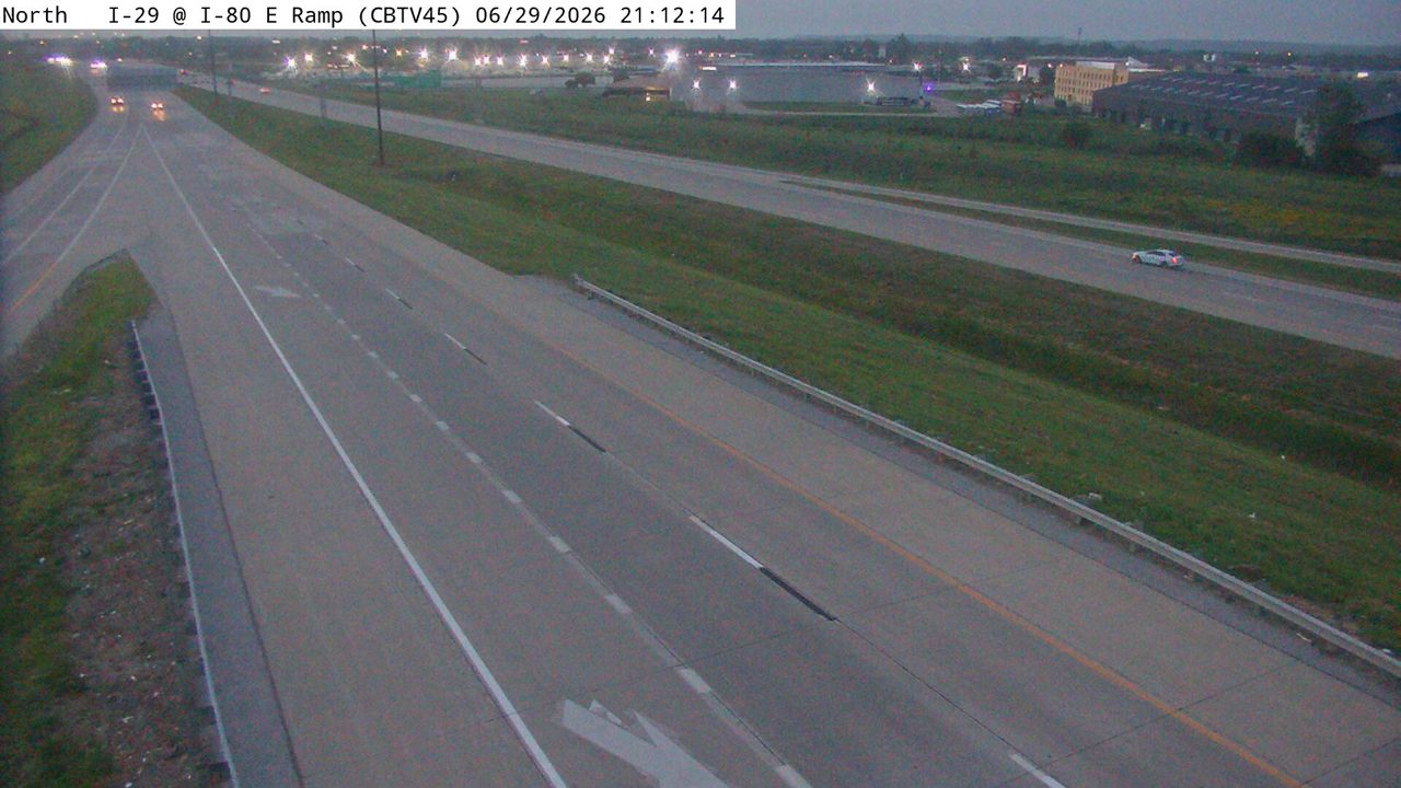 WorkingStill imageI-29 at MM 52.1 (I-80 EB Ramp), Council Bluffs
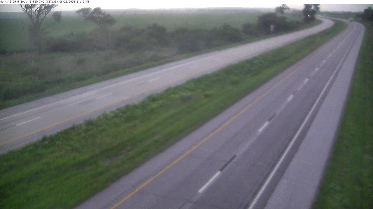 WorkingStill imageI-29 at MM 61.2 (S of I-680 Interchange), Council Bluffs
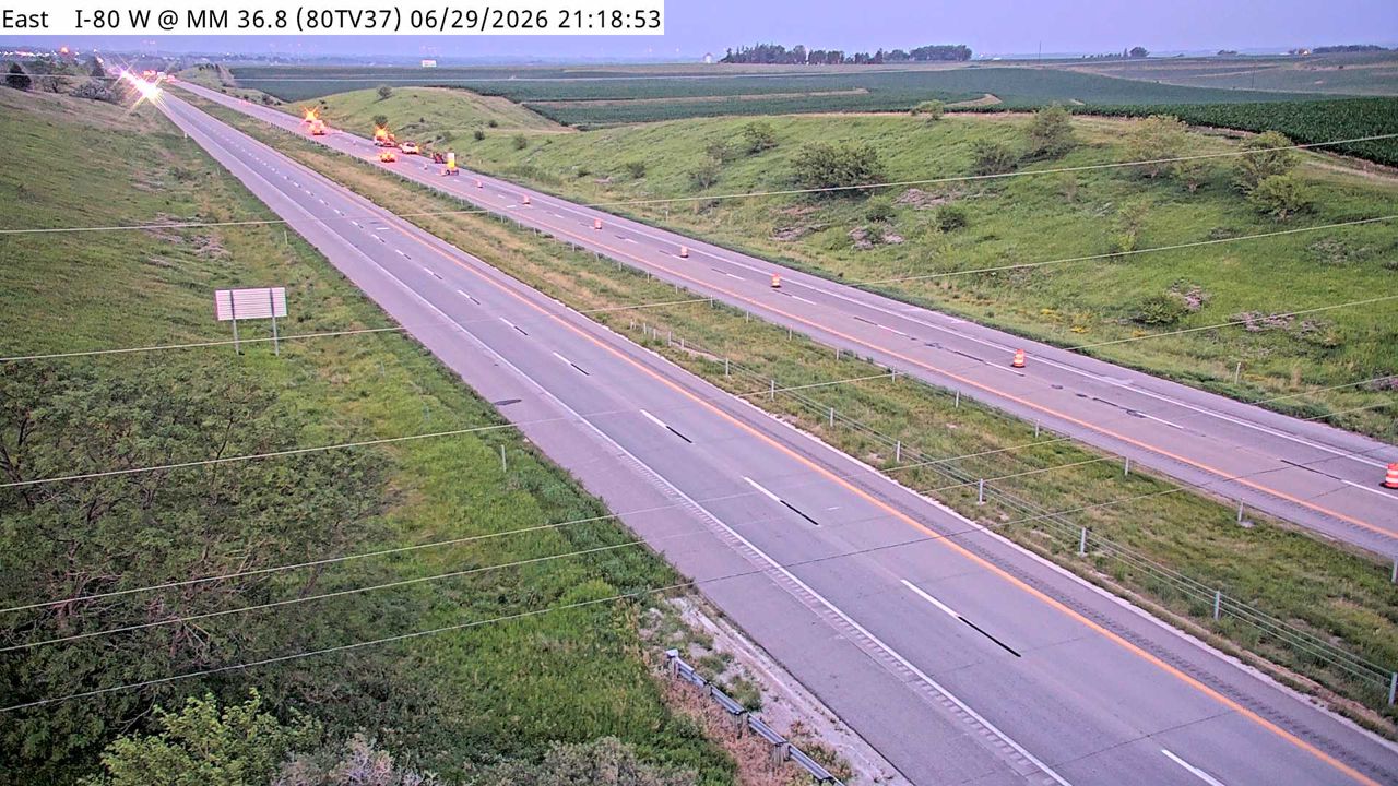 WorkingStill imageI-80 at MM 36.6
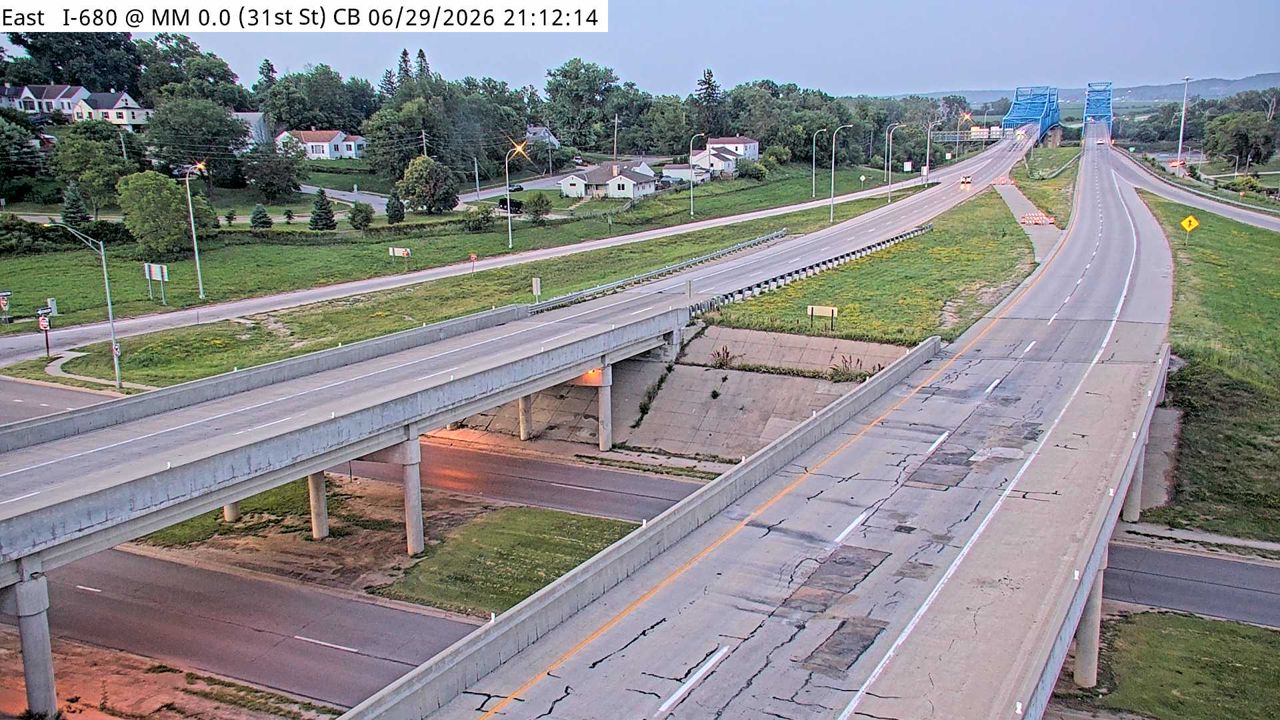 WorkingStill imageI-680 at MM 0 (31st St - NE), Council Bluffs
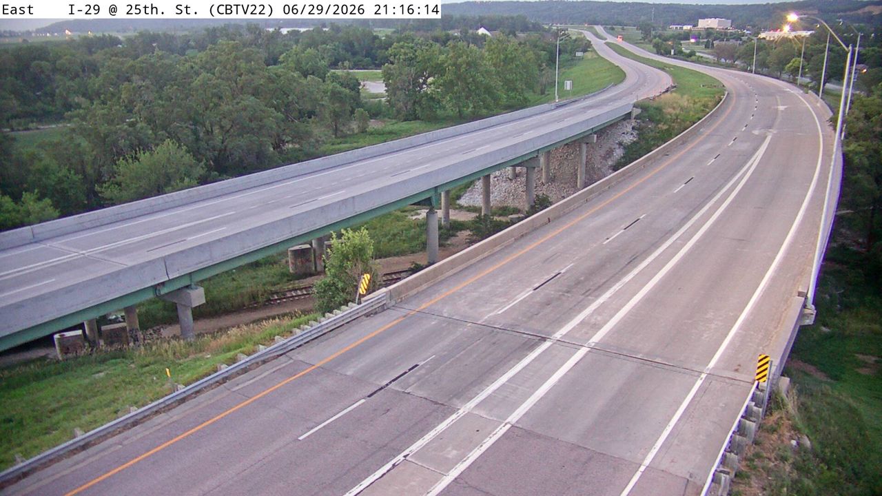 Not checked yetStill imageI-29 at MM 56 (25th St), Council Bluffs
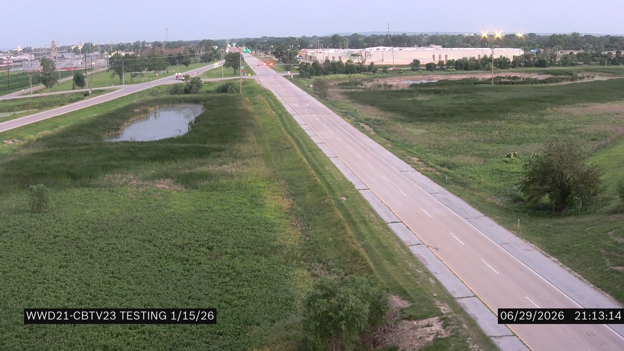 Not checked yetStill imageI-29 at MM 56.9 (IA 192)
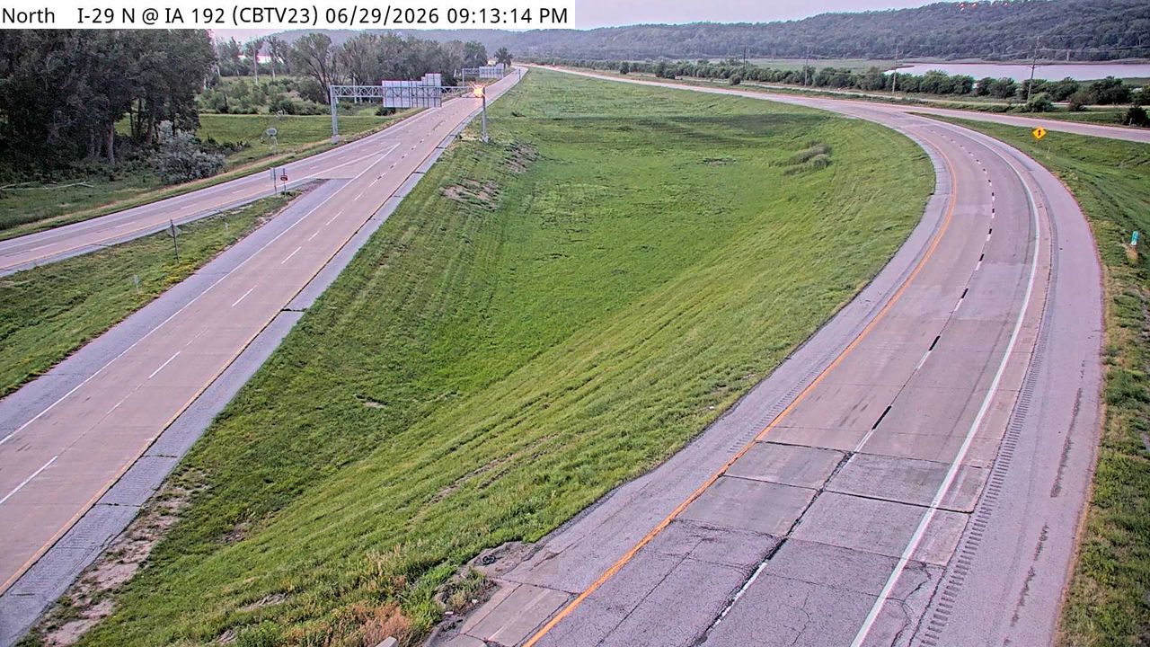 Not checked yetStill imageI-29 at MM 57 (IA 192), Council Bluffs
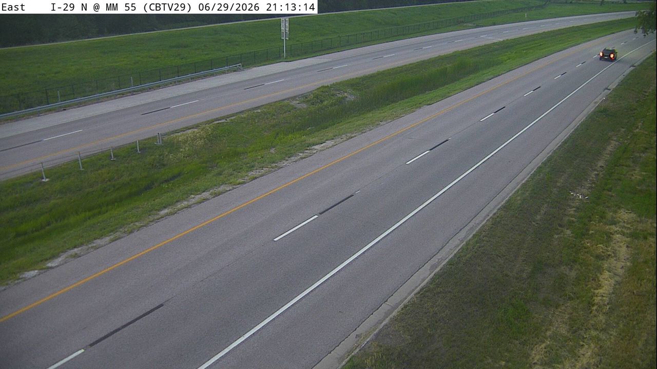 Not checked yetStill imageI-29 at MM 55.1, Council Bluffs
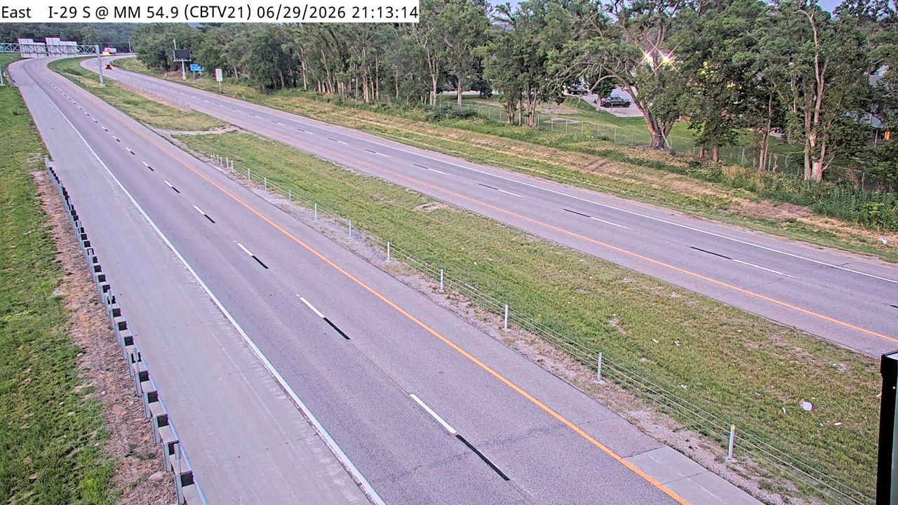 Not checked yetStill imageI-29 at MM 55, Council Bluffs
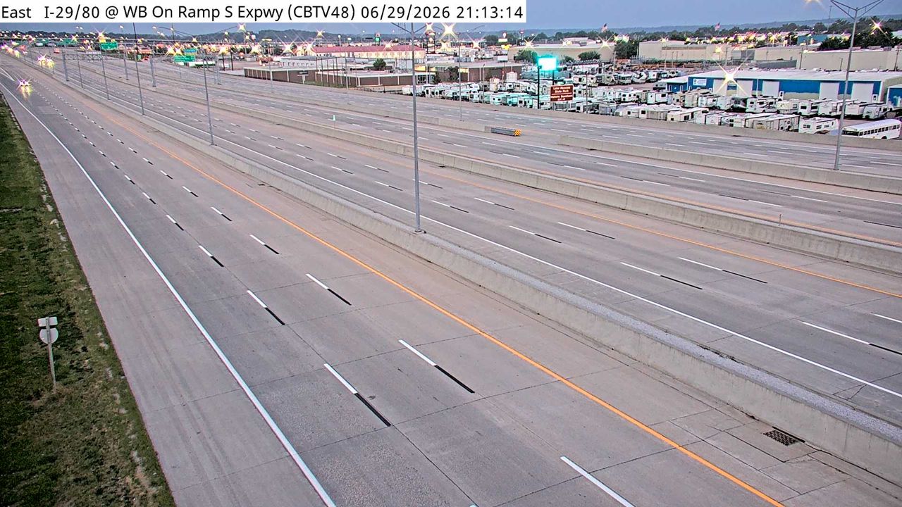 Not checked yetStill imageI-29/80 at MM 2.5 (E of Indian Creek), Council Bluffs
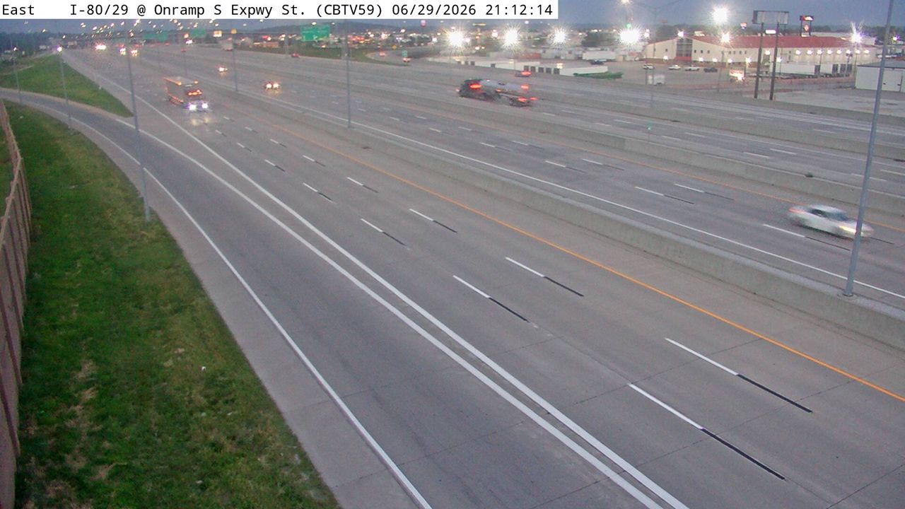 Not checked yetStill imageI-29/80 at MM 2.7 (S Expressway St WB Ent Ramp), Council Bluffs
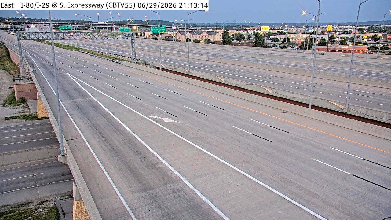 Not checked yetStill imageI-29/80 at MM 3.1 (S Expressway St), Council Bluffs
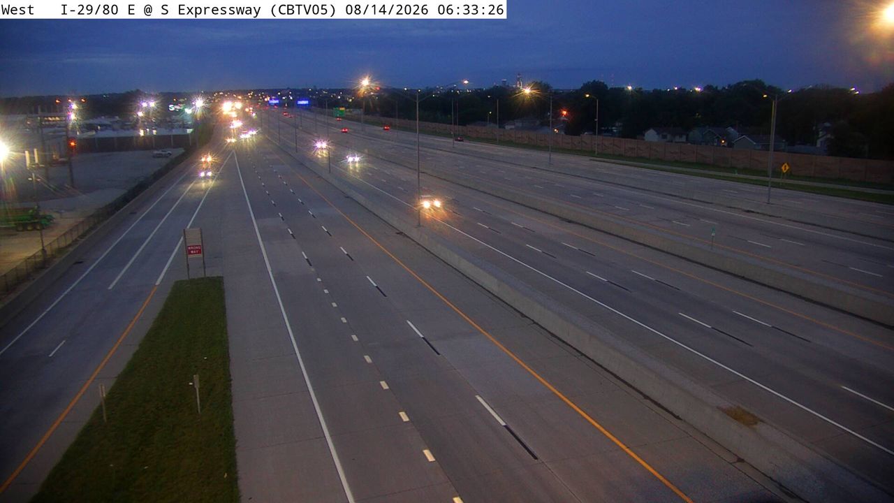 Not checked yetStill imageI-29/80 at MM 49.6 (S Expressway), Council Bluffs
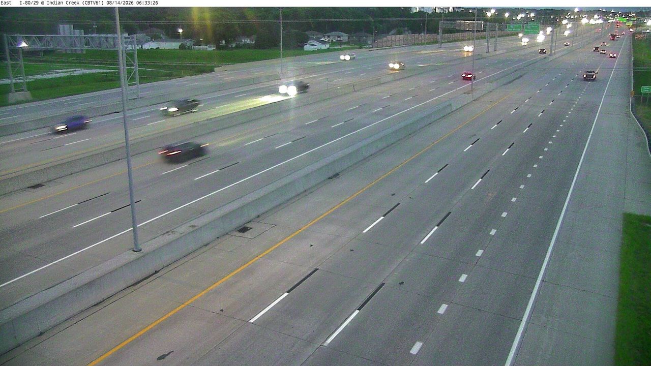 Not checked yetStill imageI-29/80 at MM 2.3 (W of Indian Creek), Council Bluffs
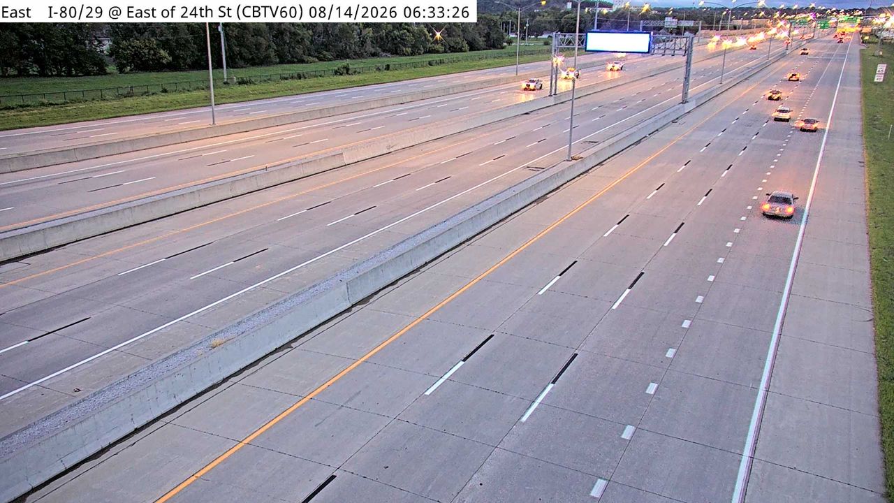 Not checked yetStill imageI-29/80 at MM 2.1 (E of S 24th St - S), Council Bluffs
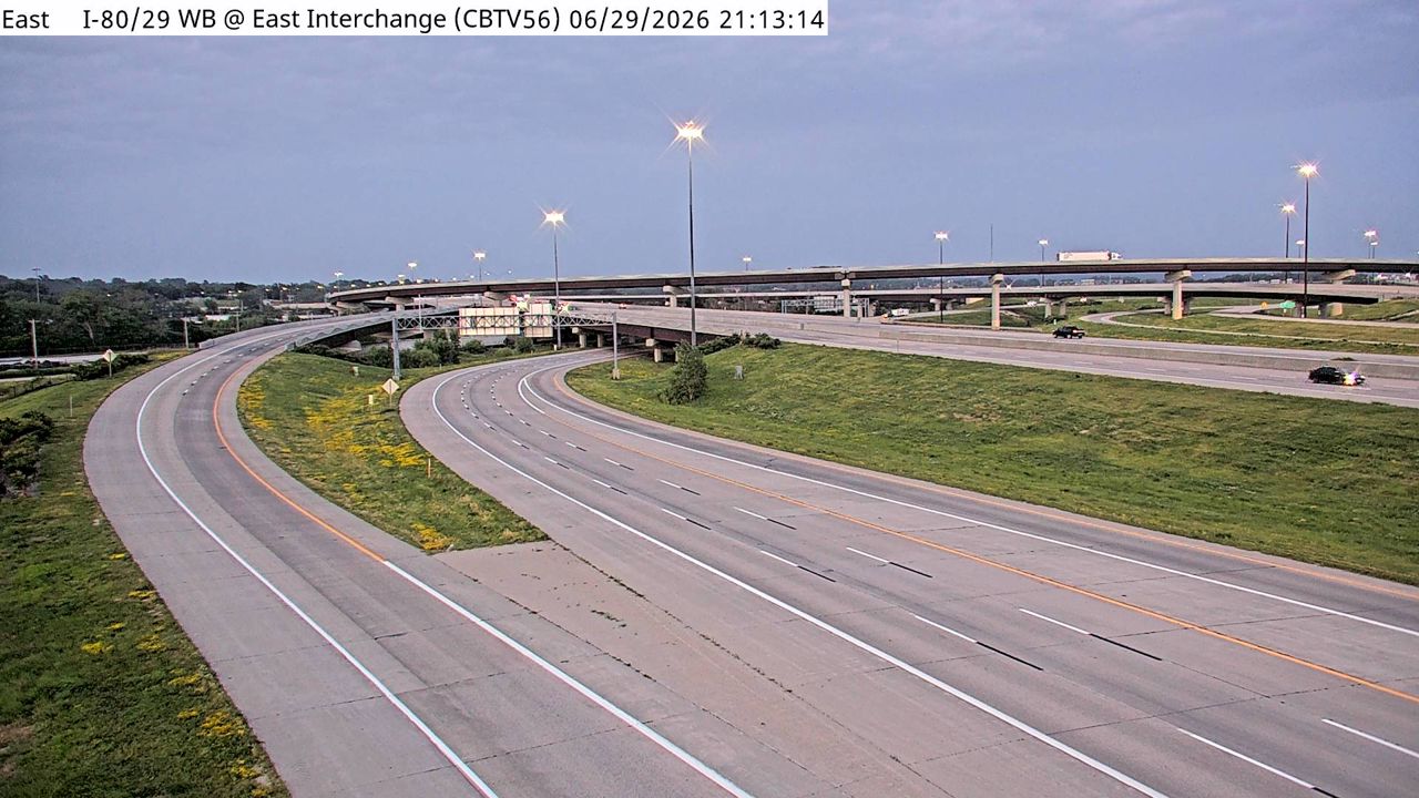 Not checked yetStill imageI-29/80 WB at MM 3.5 (East Interchange), Council Bluffs
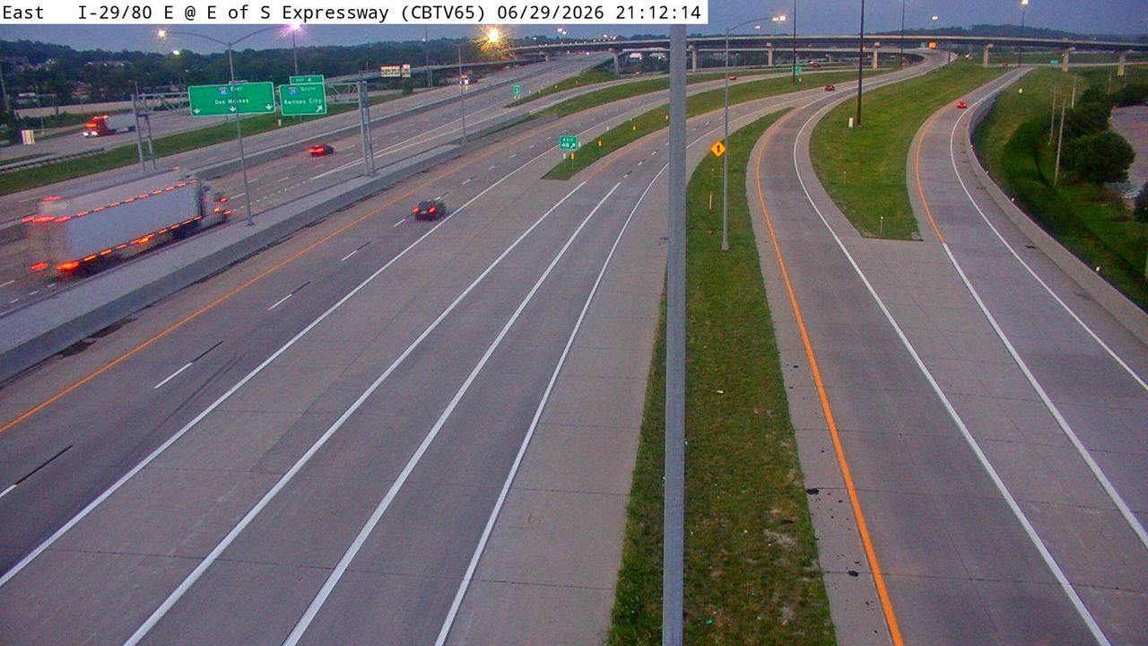 Not checked yetStill imageI-29/80 at MM 49.2 (E of S Expressway), Council Bluffs
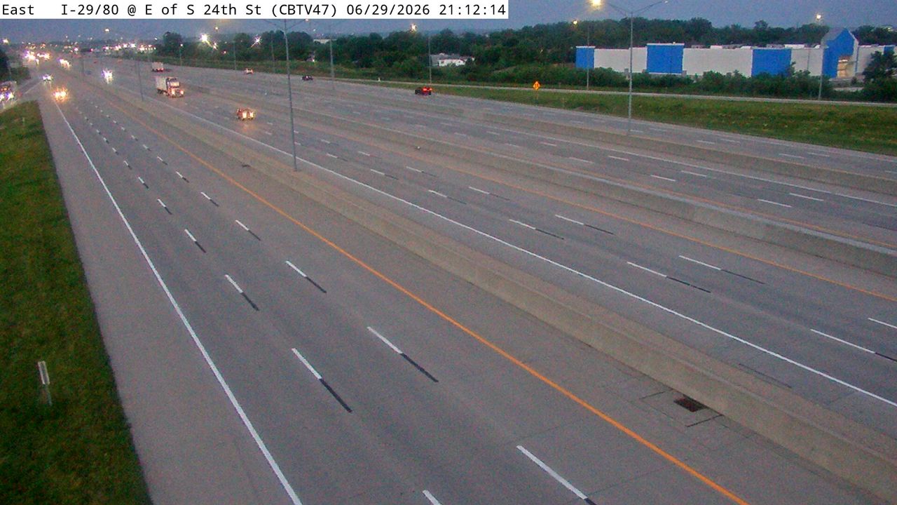 Not checked yetStill imageI-29/80 at MM 1.7 (E of S 24th St - N), Council Bluffs
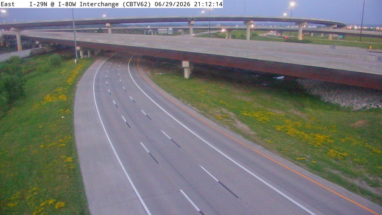 Not checked yetStill imageI-29 at MM 48.9 (I-80W Interchange), Council Bluffs
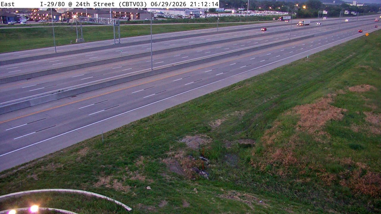 Not checked yetStill imageI-29/80 at MM 50.8 (S 24th St), Council Bluffs
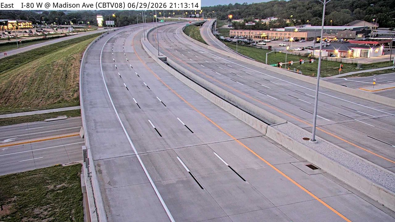 Not checked yetStill imageI-80 at MM 5 (Madison Ave), Council Bluffs
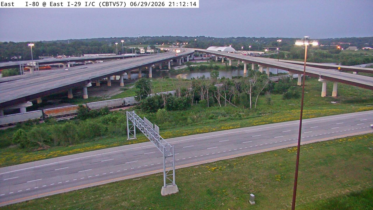 Not checked yetStill imageI-29 at MM 48.8 (E I-29 Interchange), Council Bluffs
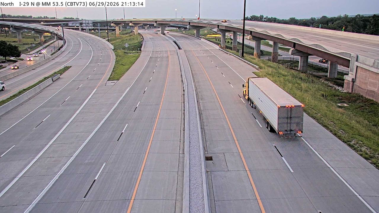 Not checked yetStill imageI-29 at MM 53.6, Council Bluffs
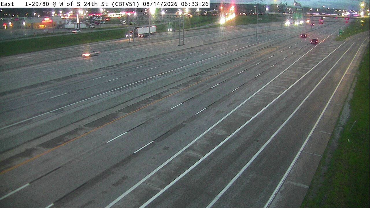 Not checked yetStill imageI-29/80 at MM 1.4 (W of S 24th St - S), Council Bluffs
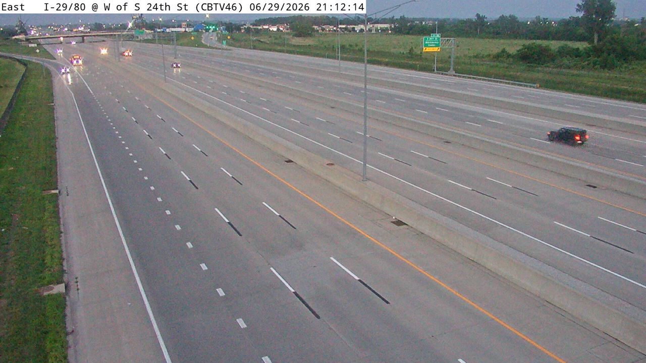 Not checked yetStill imageI-29/80 at MM 1.2 (W of S 24th St - N), Council Bluffs
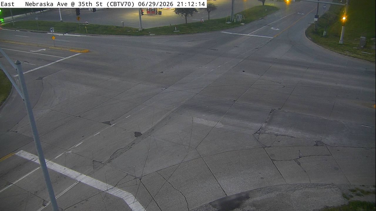 Not checked yetStill imageNebraska Ave at 35th St (70), Council Bluffs
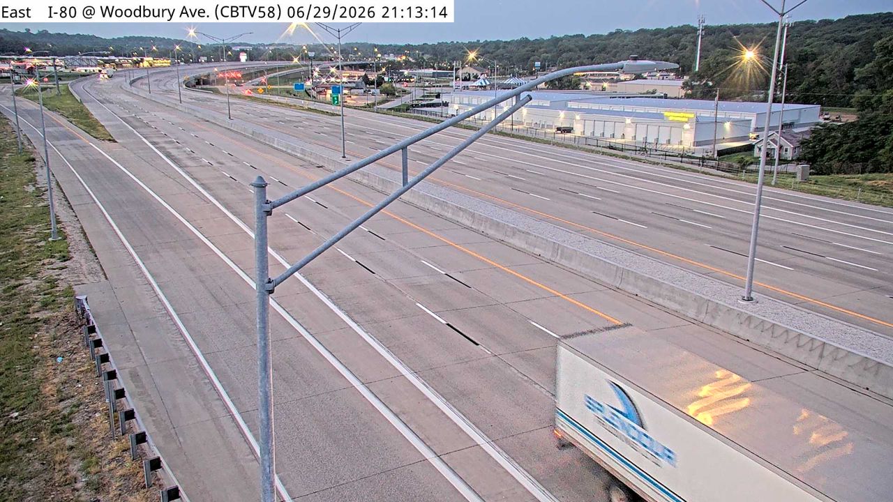 Not checked yetStill imageI-80 at MM 4.7 (Woodbury Ave), Council Bluffs
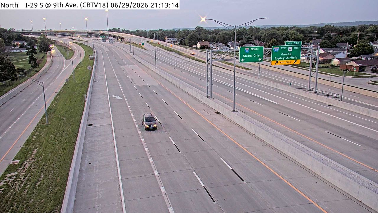 Not checked yetStill imageI-29 at MM 53.4, Council Bluffs
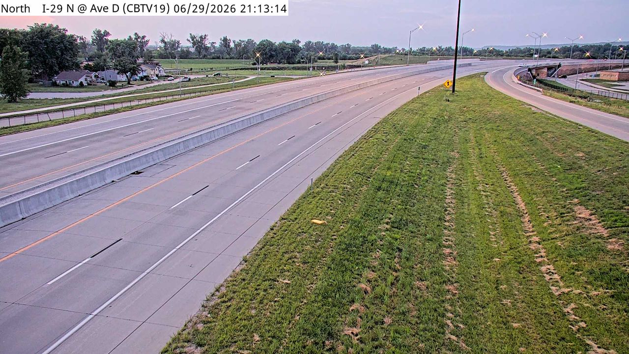 Not checked yetStill imageI-29 at MM 54.1, Council Bluffs
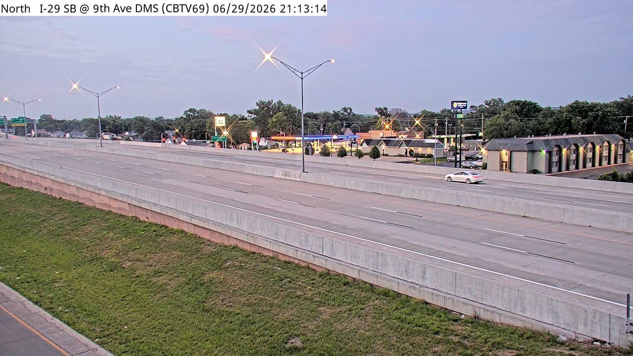 Not checked yetStill imageI-29 at MM 53.2 (9th Ave DMS), Council Bluffs
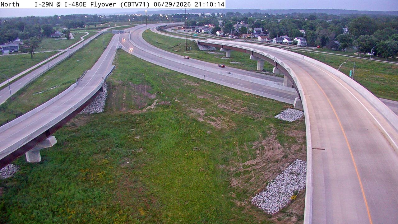 Not checked yetStill imageI-29 at MM 53.9 (I-480E Flyover), Council Bluffs
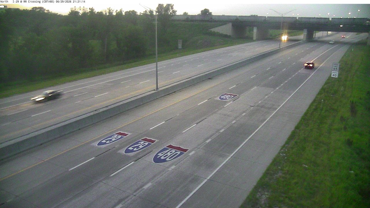 Not checked yetStill imageI-29 at MM 52.9 (RR Crossing), Council Bluffs
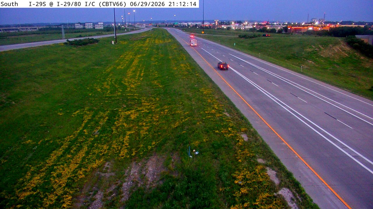 Not checked yetStill imageI-29 at MM 48.6 (I-29/80 Interchange), Council Bluffs
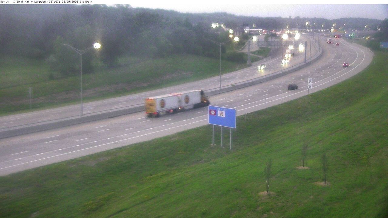 Not checked yetStill imageI-80 at MM 4.5 (E of Harry Langdon Blvd), Council Bluffs
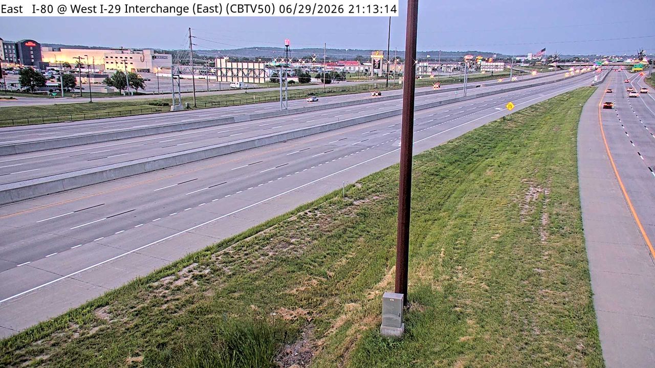 Not checked yetStill imageI-80 at MM 1 (West I-29 Interchange - E), Council Bluffs
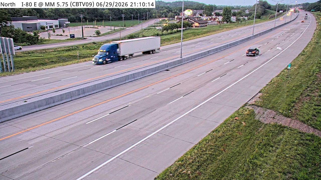 Not checked yetStill imageI-80 at MM 5.5, Council Bluffs
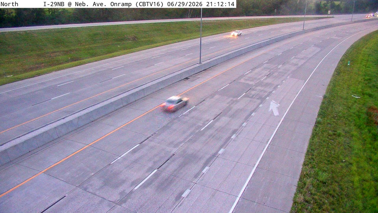 Not checked yetStill imageI-29 at MM 52.7 (Nebraska Ave DMS), Council Bluffs
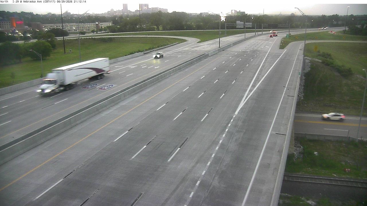 Not checked yetStill imageI-29 at MM 52.5 (Nebraska Ave), Council Bluffs
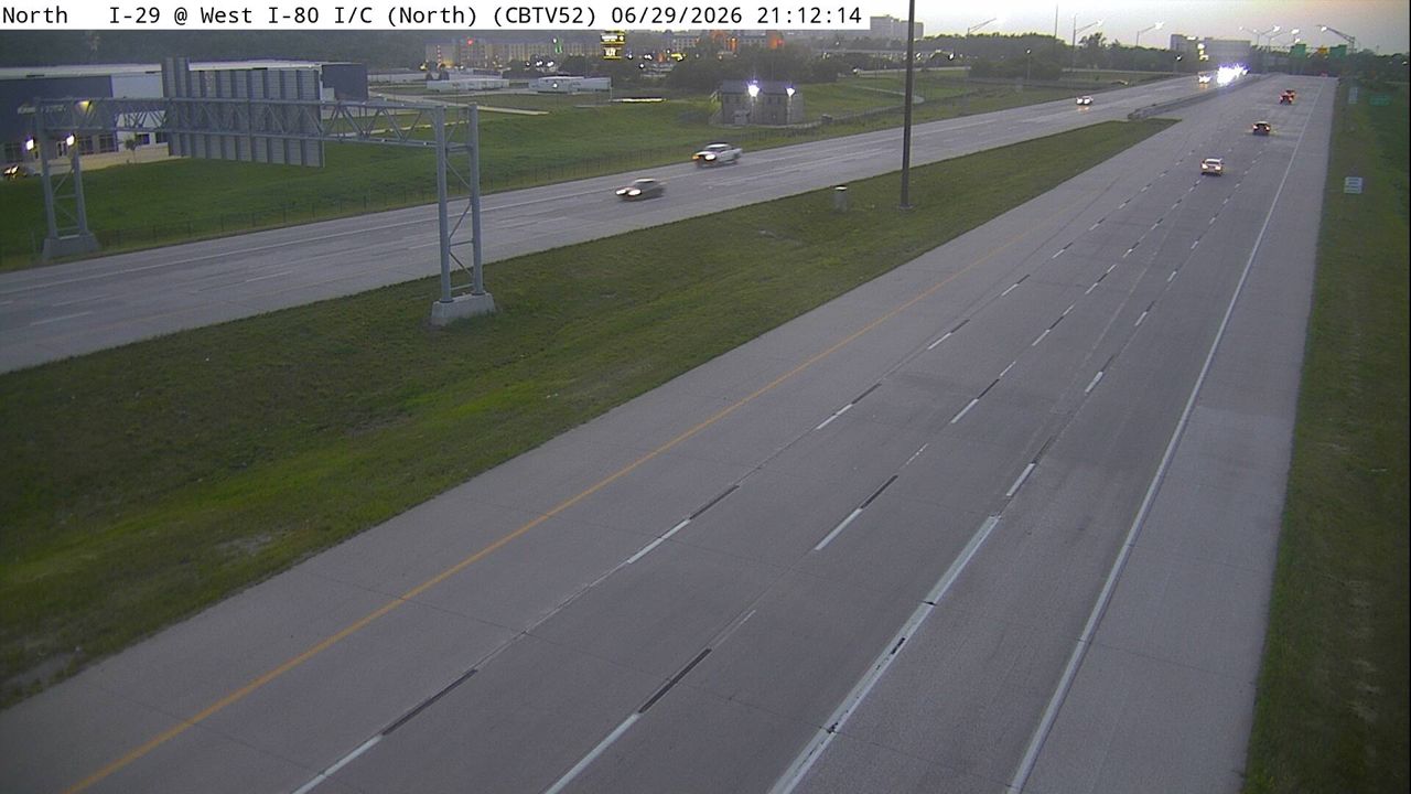 Not checked yetStill imageI-29 at MM 52.1 (West I-80 Interchange - N), Council Bluffs
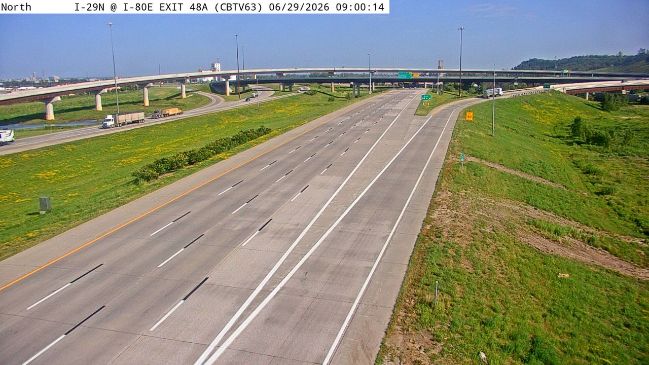 Not checked yetStill imageI-29 at MM 48.4 (Exit 48A), Council Bluffs
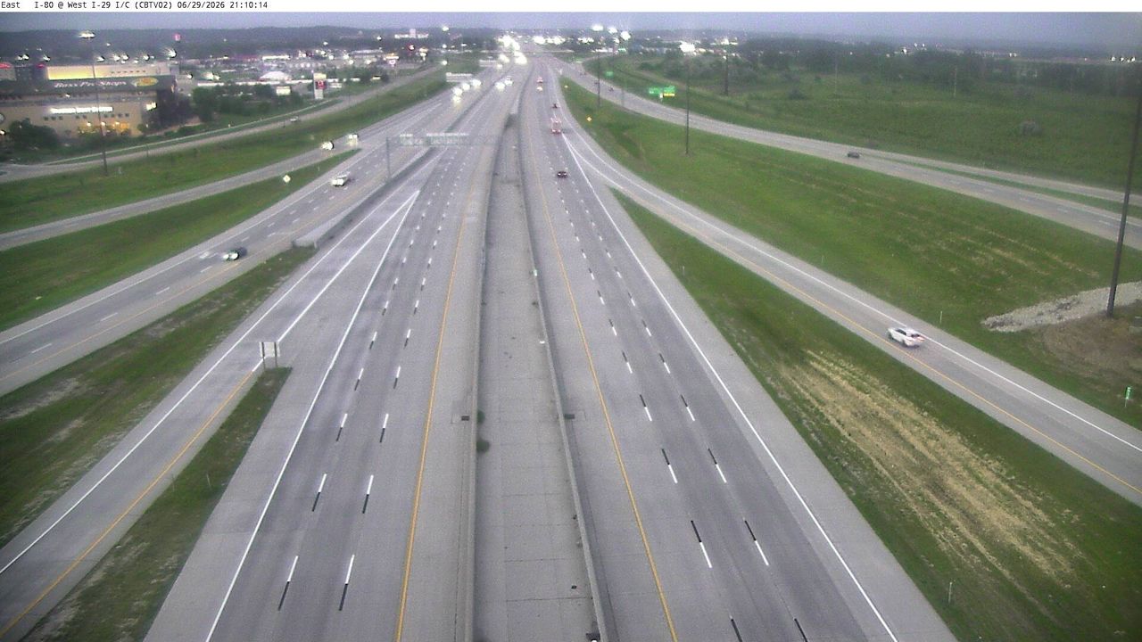 Not checked yetStill imageI-80 at MM 0.7 (West I-29 Interchange), Council Bluffs
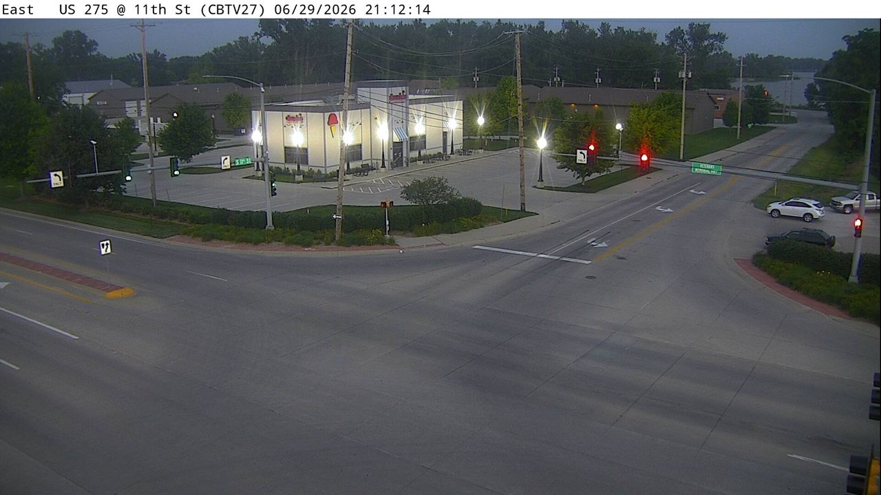 Not checked yetStill imageUS 275 at MM 55.6 (11th St), Council Bluffs
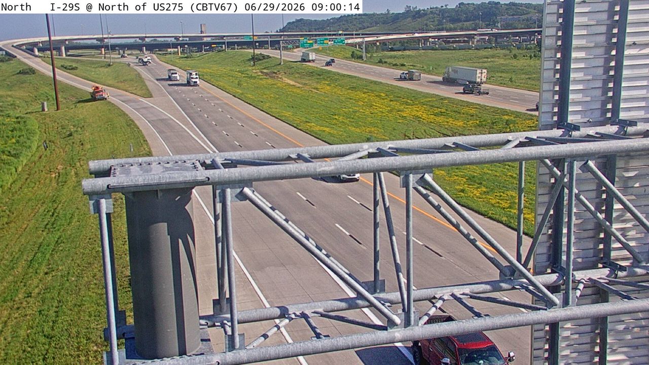 Not checked yetStill imageI-29 at MM 48.2 (N of US 275), Council Bluffs
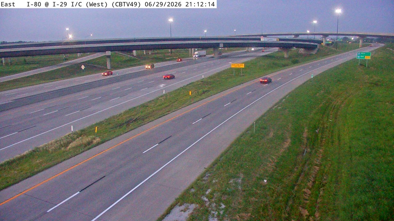 Not checked yetStill imageI-80 at MM 0.5 (West I-29 Interchange - W), Council Bluffs
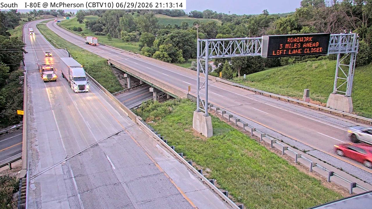 Not checked yetStill imageI-80 at MM 6.6 (McPherson Ave), Council Bluffs
 Not checked yetStill imageUS 275 at MM 55 (South Expressway), Council Bluffs
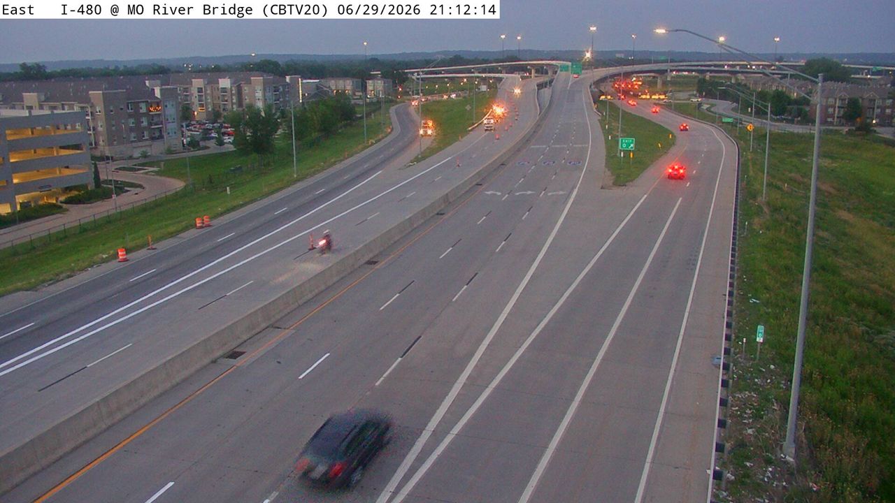 Not checked yetStill imageI-480 at MM 0.1 (Missouri River Bridge), Council Bluffs
 Not checked yetStill imageUS 275 at MM 56.6 (24th St), Council Bluffs
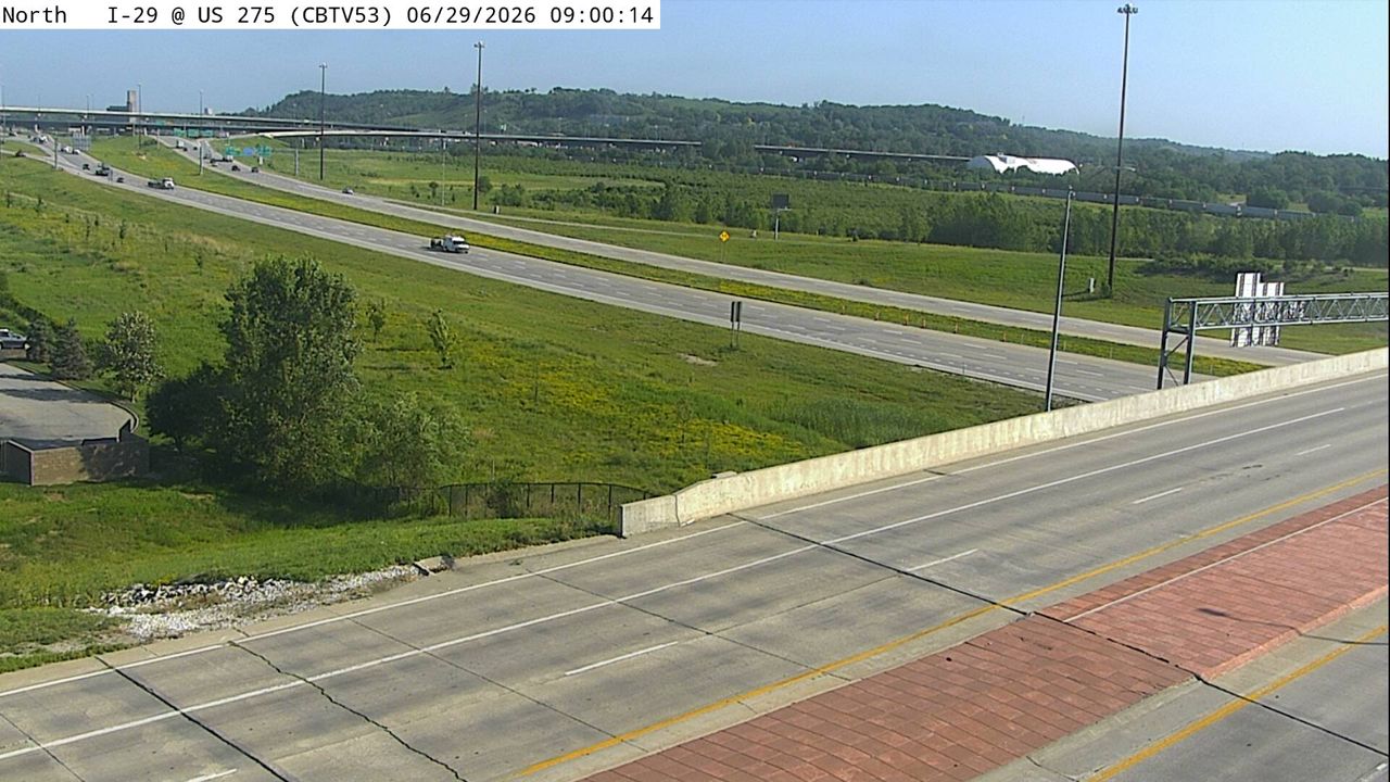 Not checked yetStill imageI-29 at MM 47.9 (US 275), Council Bluffs
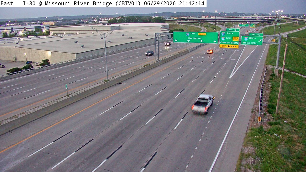 Not checked yetStill imageI-80 at MM 0.1 (Missouri River Bridge), Council Bluffs
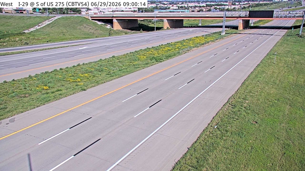 Not checked yetStill imageI-29 at MM 47.8 (S of US 275), Council Bluffs
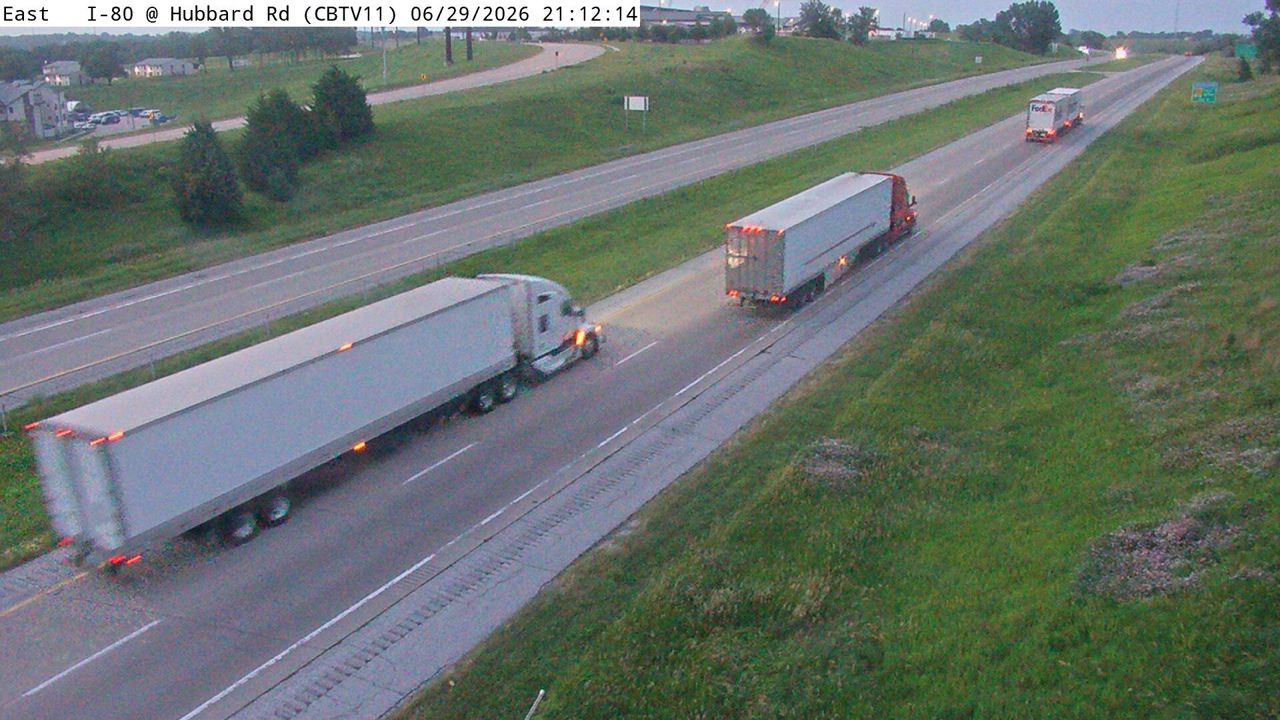 Not checked yetStill imageI-80 at MM 7.3 (Hubbard Rd), Council Bluffs
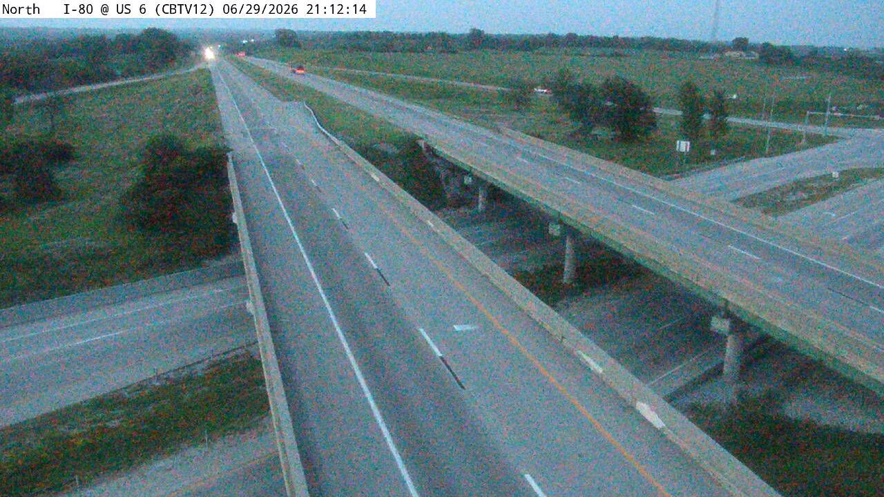 Not checked yetStill imageI-80 at MM 8.3 (US 6), Council Bluffs
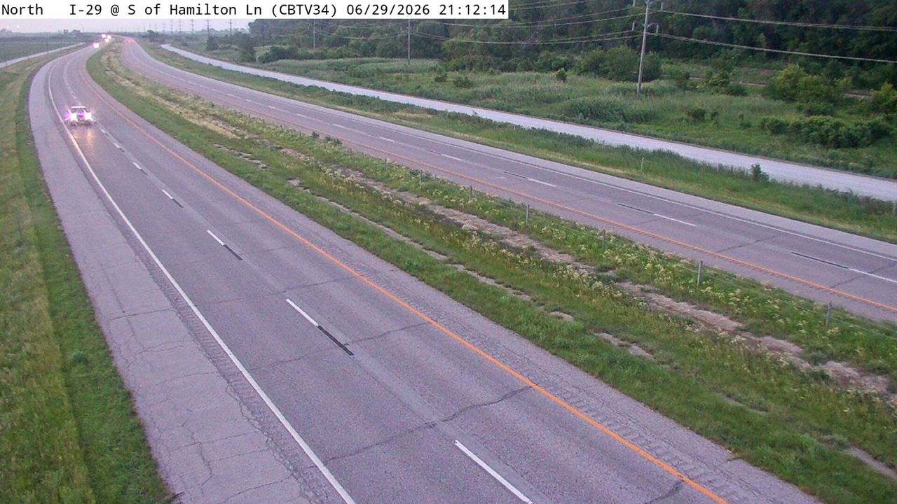 Not checked yetStill imageI-29 at MM 59.7 (S of Hamilton Ln), Council Bluffs
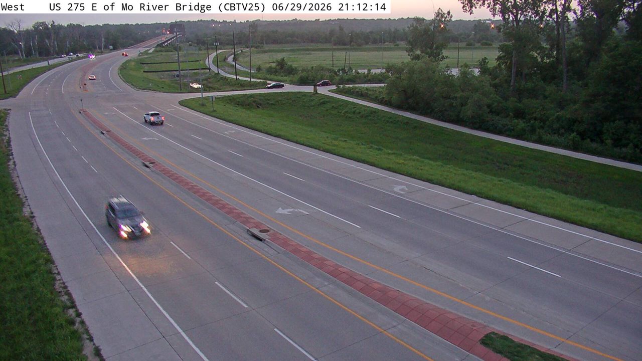 Not checked yetStill imageUS 275 at MM 58.6 (E of Missouri River Bridge), Council Bluffs
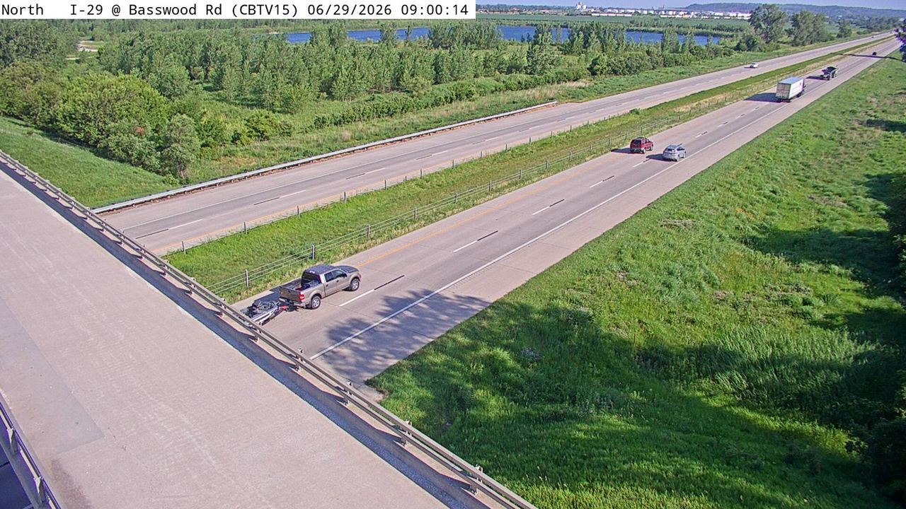 Not checked yetStill imageI-29 at MM 45.6 (Basswood Rd), Council Bluffs
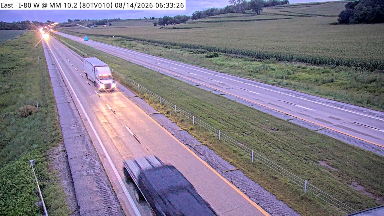 Not checked yetStill imageI-80 at MM 10
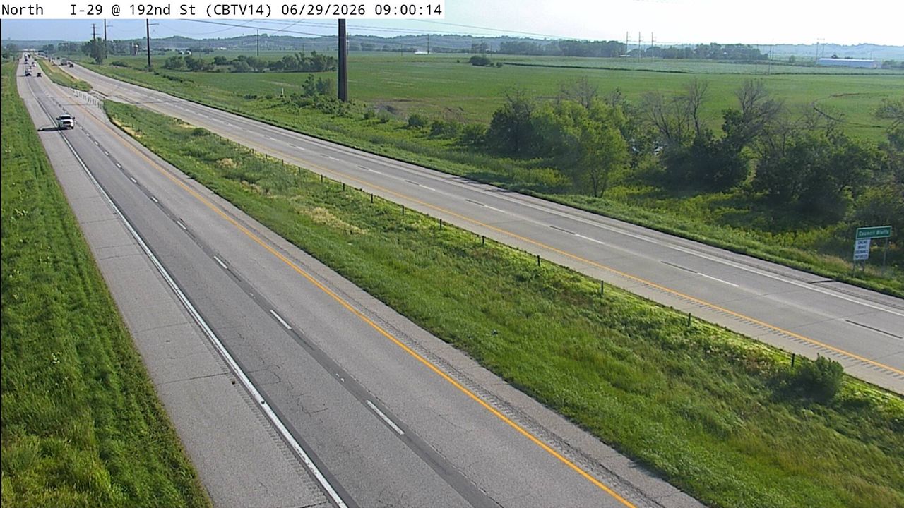 Not checked yetStill imageI-29 at MM 44.6 (192nd St), Council Bluffs
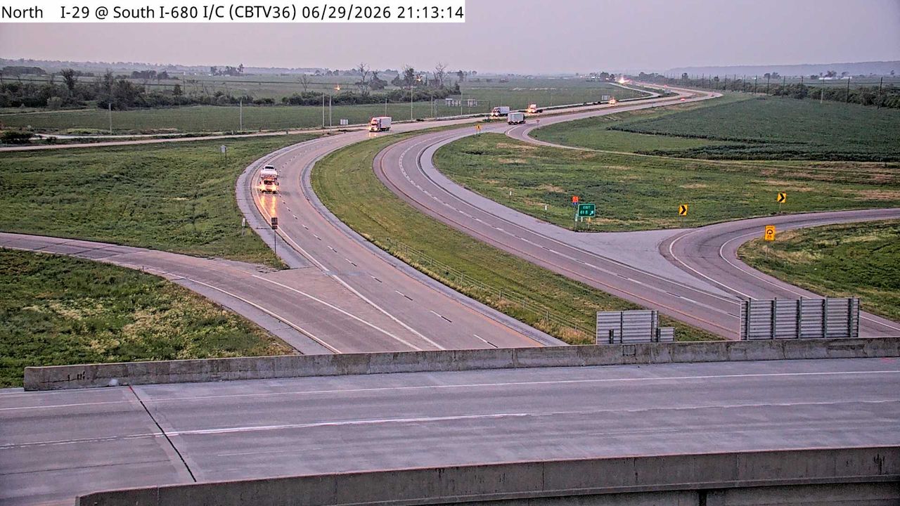 Not checked yetStill imageI-29 at MM 61.9 (I-680 Interchange), Council Bluffs
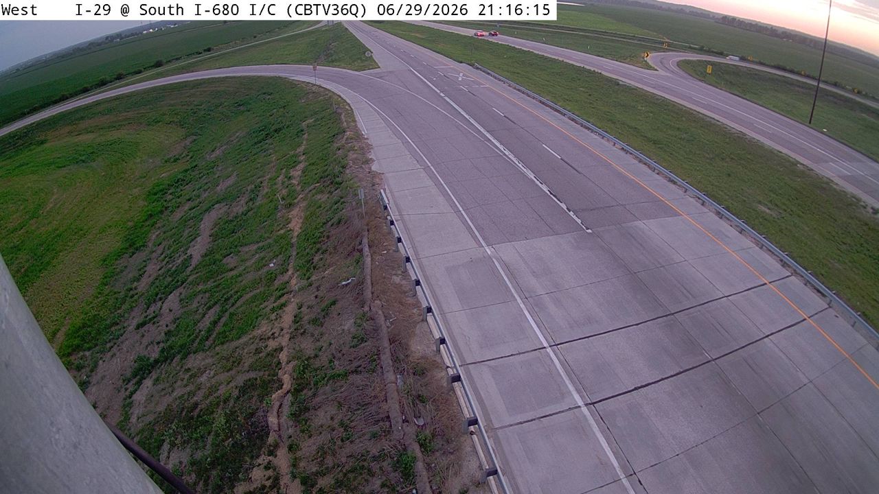 Not checked yetStill imageI-29 at MM 61.9 (I-680 Interchange)-Q, Council Bluffs
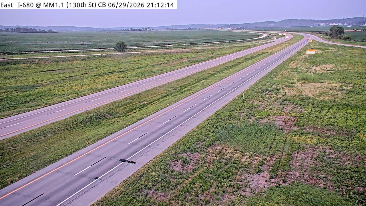 Not checked yetStill imageI-680 at MM 1.1 (130th St), Council Bluffs
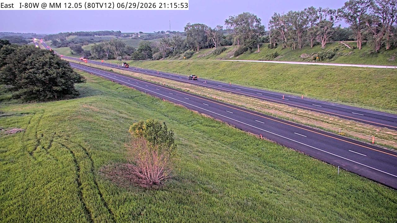 Not checked yetStill imageI-80 at MM 11.9
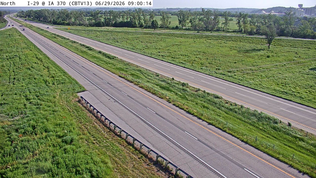 Not checked yetStill imageI-29 at MM 42.9 (IA 370), Council Bluffs
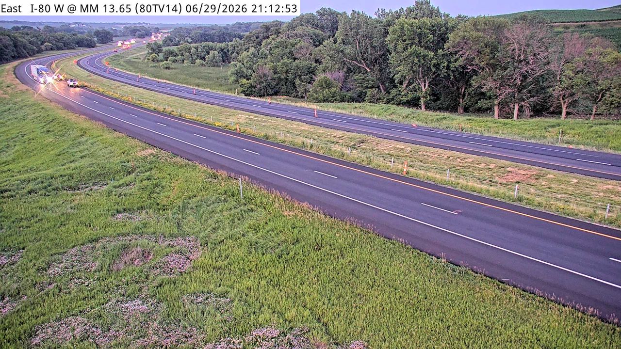 Not checked yetStill imageI-80 at MM 13.4
 Not checked yetStill imageI-80 at MM 15.1
 Not checked yetStill imageI-80 at MM 17.3 (Magnolia Rd near Underwood)
 Not checked yetStill imageI-80 at MM 17.4
 Not checked yetStill imageI-80 at MM 18.6
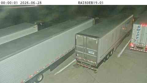 Not checked yetStill imageRest Area: I-80 EB MM 19 near Underwood, center view
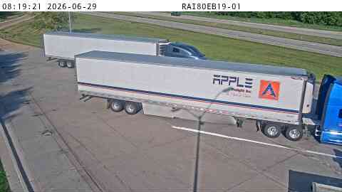 Not checked yetStill imageRest Area: I-80 EB MM 19 near Underwood, entry view
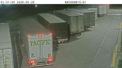 Not checked yetStill imageRest Area: I-80 EB MM 19 near Underwood, exit view
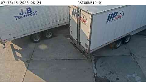 Not checked yetStill imageRest Area: I-80 WB MM 19 near Underwood, center view
 Not checked yetStill imageRest Area: I-80 WB MM 19 near Underwood, entry view
 Not checked yetStill imageRest Area: I-80 WB MM 19 near Underwood, exit view
 Not checked yetStill imageI-80 at MM 20.1
 Not checked yetStill imageI-29 at MM 71.7 (I-880 Interchange), Council Bluffs
 Not checked yetStill imageI-80 at MM 21.8
 Not checked yetStill imageI-29 at MM 73.2, Council Bluffs
 Not checked yetStill imageI-80 at MM 24.8
 Not checked yetStill imageI-29 MM 76 at Missouri Valley
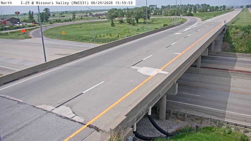 Not checked yetStill imageI-29 MM 76 at Missouri Valley
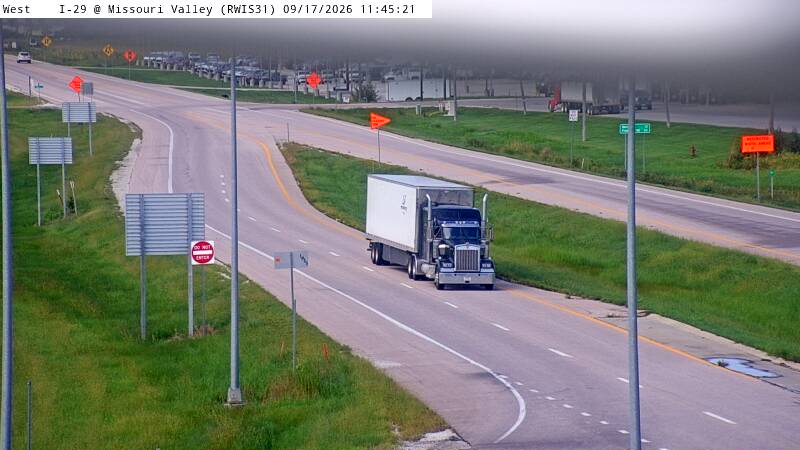 Not checked yetStill imageI-29 MM 76 at Missouri Valley, view 2
 Not checked yetStill imageI-29 MM 76 at Missouri Valley, view 3
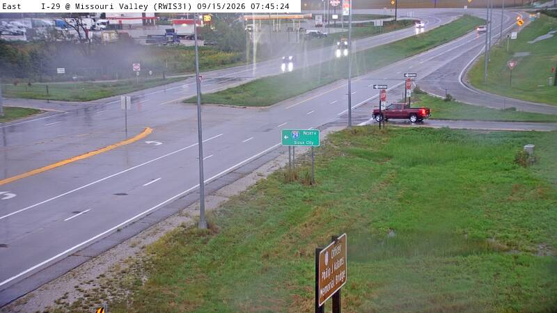 Not checked yetStill imageI-29 MM 76 at Missouri Valley, view 4
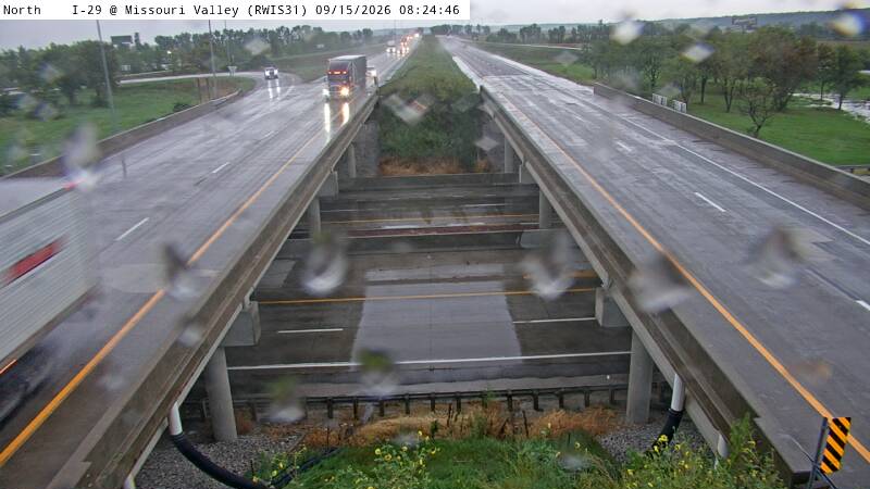 Not checked yetStill imageI-29 MM 76 at Missouri Valley, view 5
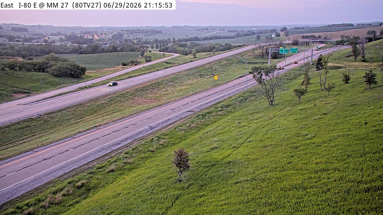 Not checked yetStill imageI-80 at MM 26.8
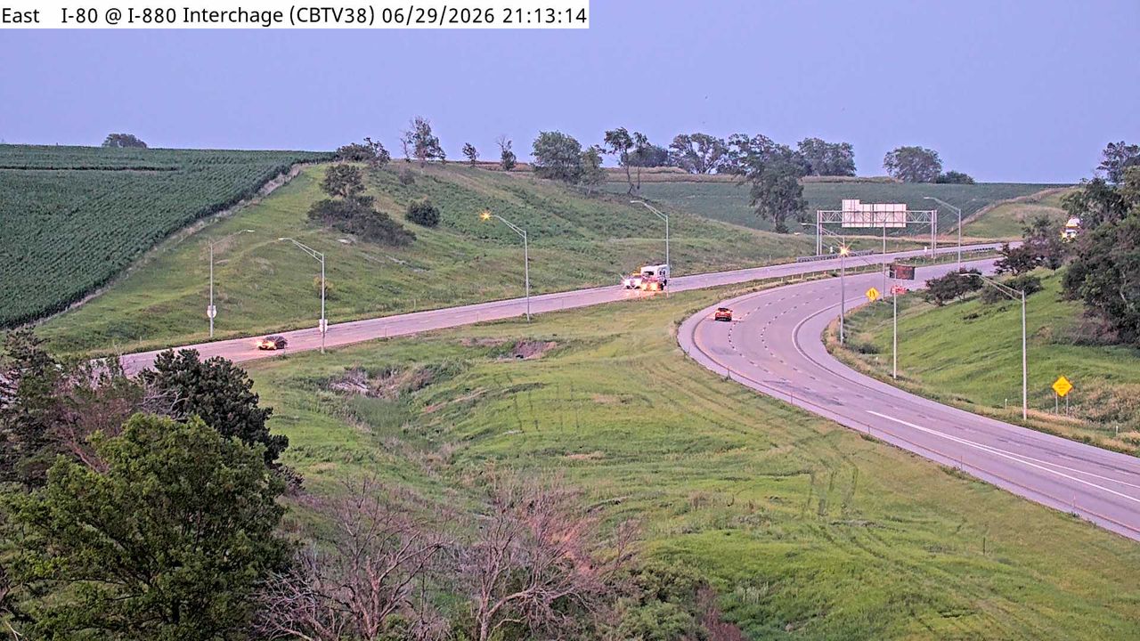 Not checked yetStill imageI-80 at MM 27.3 (I-880 Interchange), Council Bluffs
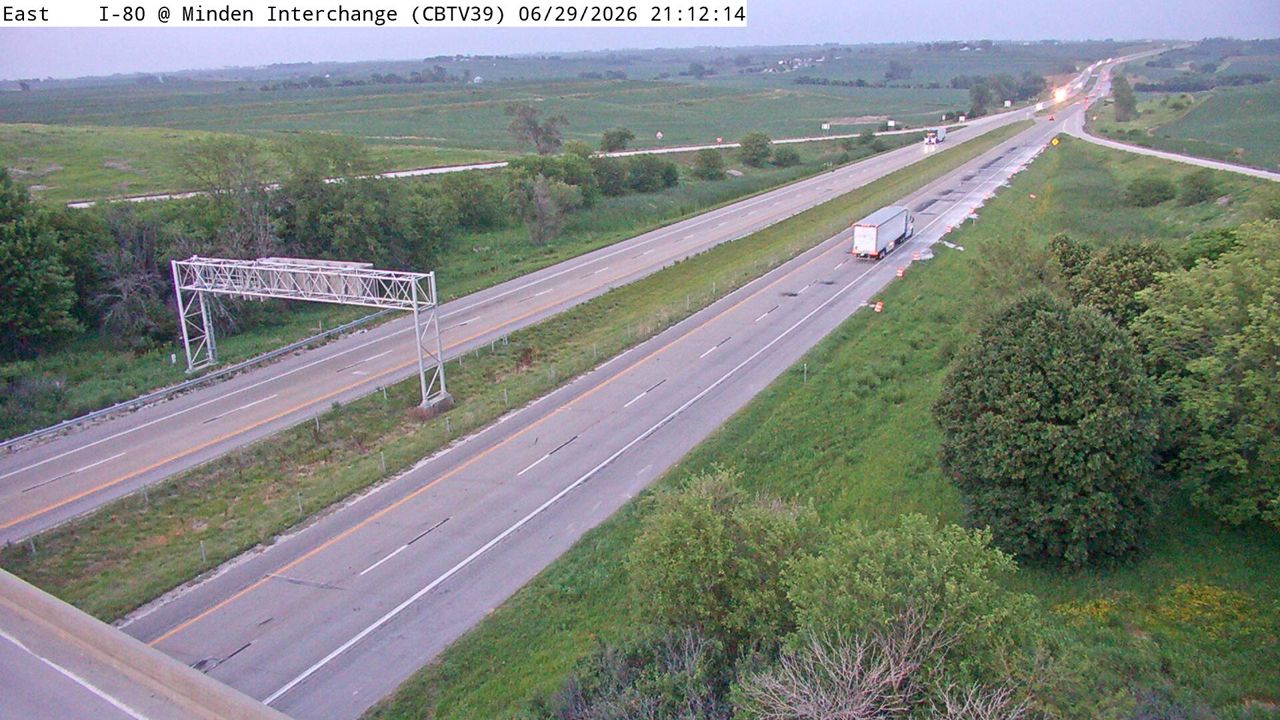 Not checked yetStill imageI-80 at MM 29.1 (Minden Interchange), Council Bluffs
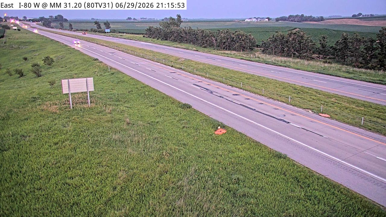 Not checked yetStill imageI-80 at MM 31
 Not checked yetStill imageParking Only: I-80 EB MM 32 near Shelby, center view
 Not checked yetStill imageParking Only: I-80 EB MM 32 near Shelby, entry view
 Not checked yetStill imageParking Only: I-80 EB MM 32 near Shelby, exit view
 Not checked yetStill imageParking Only: I-80 WB MM 32 near Shelby, center view
 Not checked yetStill imageParking Only: I-80 WB MM 32 near Shelby, exit view
 Not checked yetStill imageParking Only: I-80 WB MM 32 near Shelby, entry view
 Not checked yetStill imageI-80 at MM 32.6
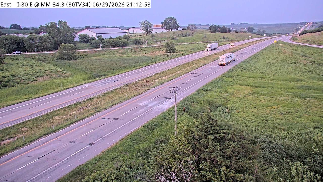 Not checked yetStill imageI-80 at MM 34.1
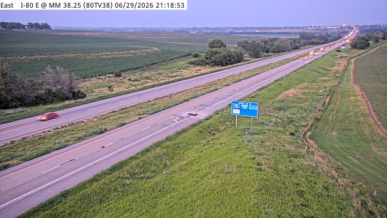 Not checked yetStill imageI-80 at MM 38
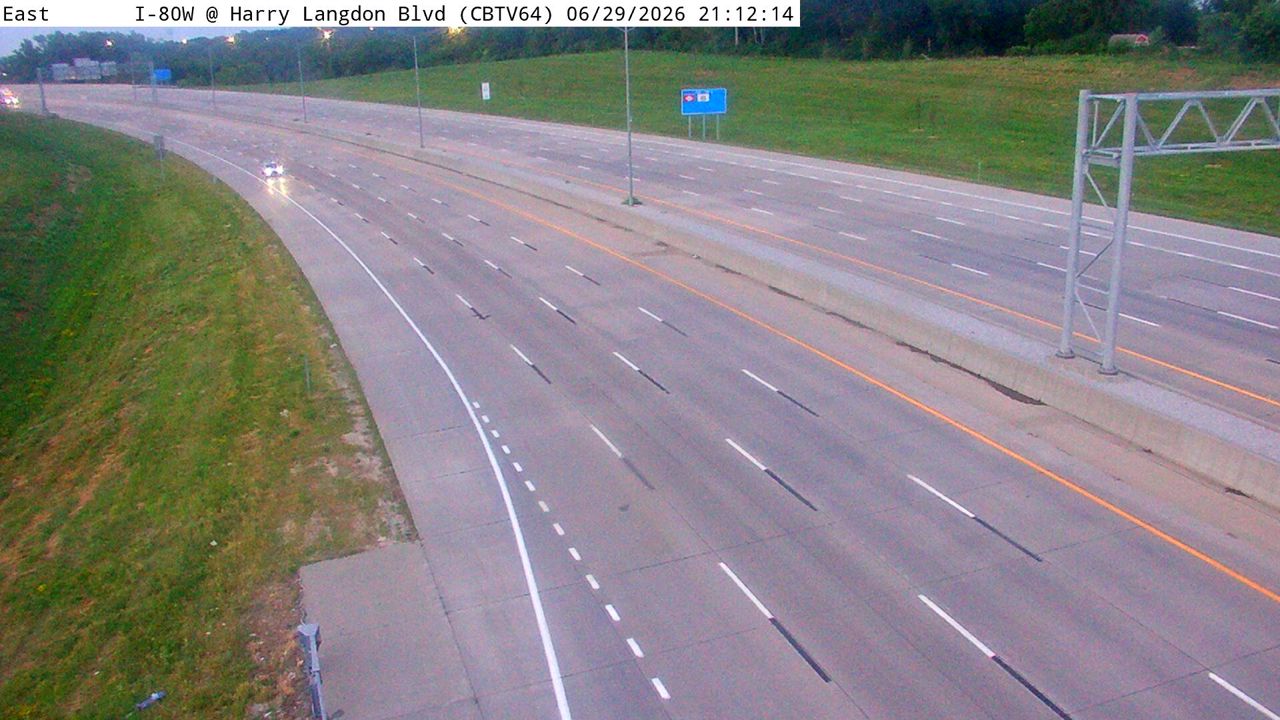 IntermittentStill imageI-80 at MM 4.3 (Harry Langdon Blvd), Council Bluffs
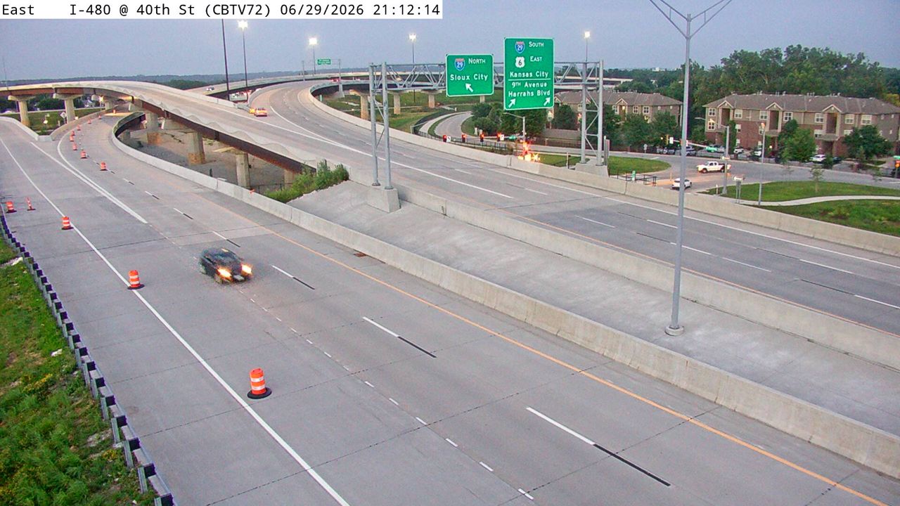 IntermittentStill imageI-480 at MM 0.4 (W of 40th St), Council Bluffs
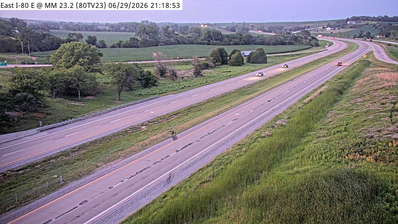 IntermittentStill imageI-80 at MM 23
No live video among these cameras. Turn off "Live video only" to see them all.
Best cams to watch
- I-29 at MM 52.1 (I-80 EB Ramp), Council Bluffs — Still image · every 5 min, working 100 % of the time in the last 30 days.
- I-29 at MM 61.2 (S of I-680 Interchange), Council Bluffs — Still image · every 5 min, working 100 % of the time in the last 30 days.
- I-80 at MM 36.6 — Still image · every 5 min, working 100 % of the time in the last 30 days.
Council Bluffs is the Iowa half of the Omaha metro, set on the east bank of the Missouri River directly across from downtown Omaha, Nebraska. About 62,800 people lived here at the 2020 census, and it is the county seat of Pottawattamie County. The city is older than its big neighbor: the Lewis and Clark Expedition held a council with local tribes in this area in 1804, the settlement was called Kanesville during the Mormon migration west, and in the 1860s it was named the eastern terminus of the first transcontinental railroad. The steep, wind-built Loess Hills rise right behind town.
LiveLocation shows Iowa DOT cameras here, taken from the state's 511 traveler system. Council Bluffs is where Interstate 80 and Interstate 29 meet and share a stretch of road, so many of the views cover that merge, the I-480 approach and the bridges toward Omaha. Iowa DOT spent well over a decade rebuilding this network through the Council Bluffs Interstate System program, including a dual, divided freeway that separates through traffic on I-80 from local I-29 traffic. A few cameras are road-weather views pointed at the pavement surface. Pictures update at intervals rather than as continuous video.
Good times to check
- Weekday mornings and late afternoons, when commuters cross the river in both directions.
- Winter storms, when open ground on the Missouri River valley lets wind push snow across the lanes.
- Holiday weekends, as I-80 is a main coast-to-coast truck and travel route.
Local time is Central. Nearby, the Bob Kerrey Pedestrian Bridge links the two riverfronts on foot, and the Squirrel Cage Jail, a rare rotary jail from 1885, is now a museum. Cameras on the Nebraska side of the river, in Omaha, may appear further down this page, so you can follow a trip across the Missouri from one state to the other.
Sources: Council Bluffs, Iowa — Wikipedia · Council Bluffs Interstate System — Iowa DOT · Iowa 511 — Iowa Department of Transportation.
Nearby places
- Des Moines (103)
- West Des Moines (95)
- Ankeny (80)
- Omaha (63)
- Ames (63)
- Sioux City (60)
- Waterloo (57)
- Bellevue (52)
Questions about Council Bluffs
How many cameras does LiveLocation have in Council Bluffs?
LiveLocation lists 101 cameras in and around Council Bluffs, United States: 0 live video, 101 still images. 4 of them were live or showing a fresh image at the last check.
Where do the Council Bluffs cameras come from?
All of them come from Iowa DOT (101). Each camera plays straight from the agency or owner that runs it, with credit. Iowa DOT
What kinds of views are there in Council Bluffs?
The views are traffic and highway (95) and pass and road weather (6). Good ones to start with: I-29 at MM 52.1 (I-80 EB Ramp), Council Bluffs and I-29 at MM 61.2 (S of I-680 Interchange), Council Bluffs. I-29 at MM 52.1 (I-80 EB Ramp), Council Bluffs I-29 at MM 61.2 (S of I-680 Interchange), Council Bluffs
Is there live video from Council Bluffs?
Not yet: the cameras here send still images that refresh about every 5 minutes. The map can show only live-video cameras nearby. Live video on the map
When is the best time to watch the Council Bluffs cameras?
Council Bluffs is on America/Chicago time. On October 7 the sun rises at 7:26 AM and sets at 6:55 PM, so still images are clearest between those times. Road cameras show the most traffic in the weekday morning and evening rush hours.
Are there live cameras near Council Bluffs?
The nearest are Omaha (4.2 mi away, 63 cameras), Bellevue (8.8 mi away, 52 cameras) and Sioux City (90 mi away, 60 cameras). Omaha Bellevue Sioux City
Is there a map of the cameras in Council Bluffs?
The map at the top of this page shows all 101 of them. The live camera radar centers on Council Bluffs and lists every camera within 5 to 250 miles, nearest first, with filters for live video, traffic, nature and more. Open the radar on Council Bluffs
Place names and locations: GeoNames, licensed under CC BY 4.0.