Live cameras in Omaha, United States
63 cameras: 0 live video, 63 still images · 7 working now · updated Oct 9, 09:00 UTC
Omaha has 63 live cameras on LiveLocation right now: 0 live video, 63 still images. Good places to start: I-29 at MM 53.4, Council Bluffs, I-29 at MM 52.1 (I-80 EB Ramp), Council Bluffs, I-29 at MM 55.1, Council Bluffs. Local time is 4:00 AM (America/Chicago). Today the sun rises at 7:29 AM and sets at 6:52 PM.
Omaha live cameras
Watch Omaha live webcams: 0 live video, 63 still images. 7 were working at the last check. Omaha is home to about 486,000 people.
Weather now in Omaha: 62 °F (16 °C), clear sky, wind 11 mph (18 km/h) from the southeast. Forecast for 4 AM local time. Weather: MET Norway (CC BY 4.0)
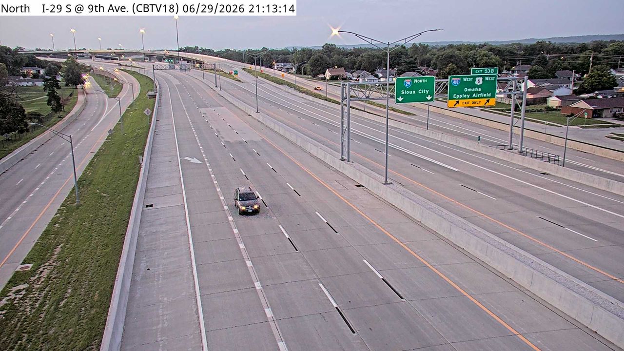 WorkingStill imageI-29 at MM 53.4, Council Bluffs
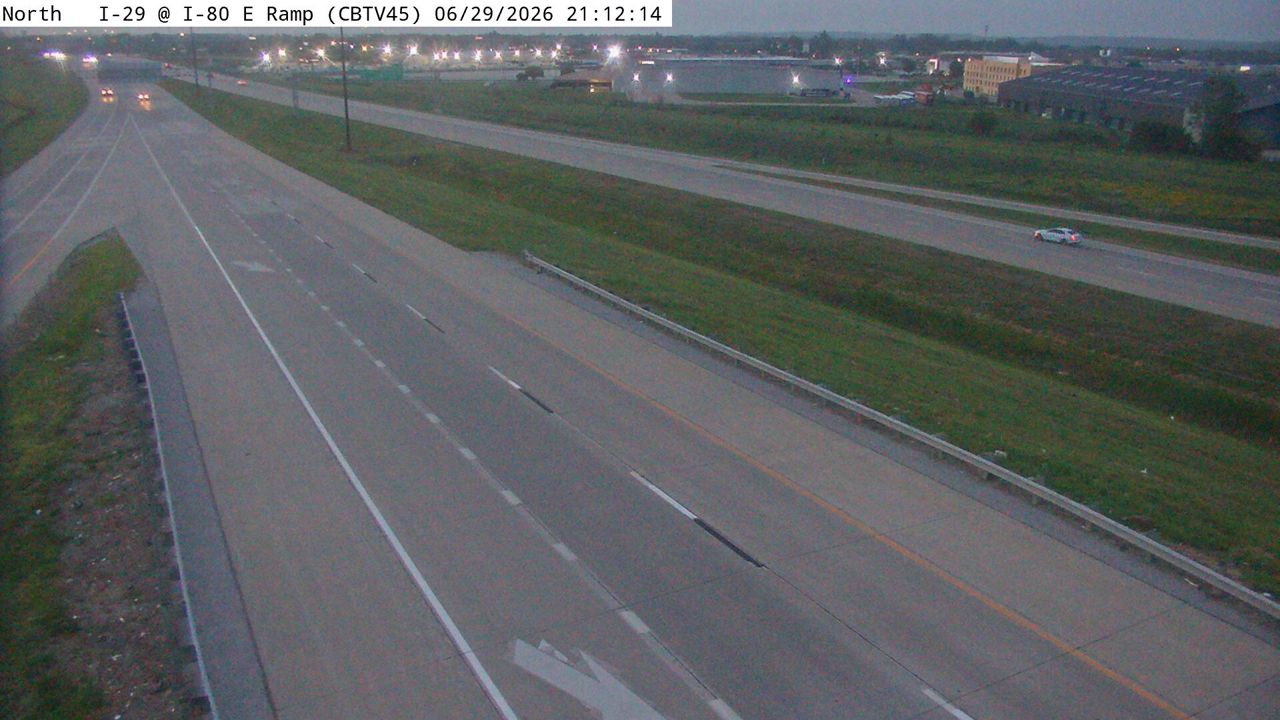 WorkingStill imageI-29 at MM 52.1 (I-80 EB Ramp), Council Bluffs
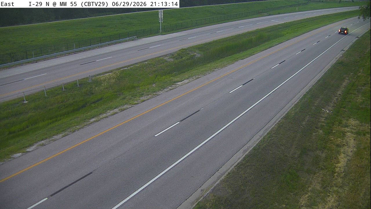 WorkingStill imageI-29 at MM 55.1, Council Bluffs
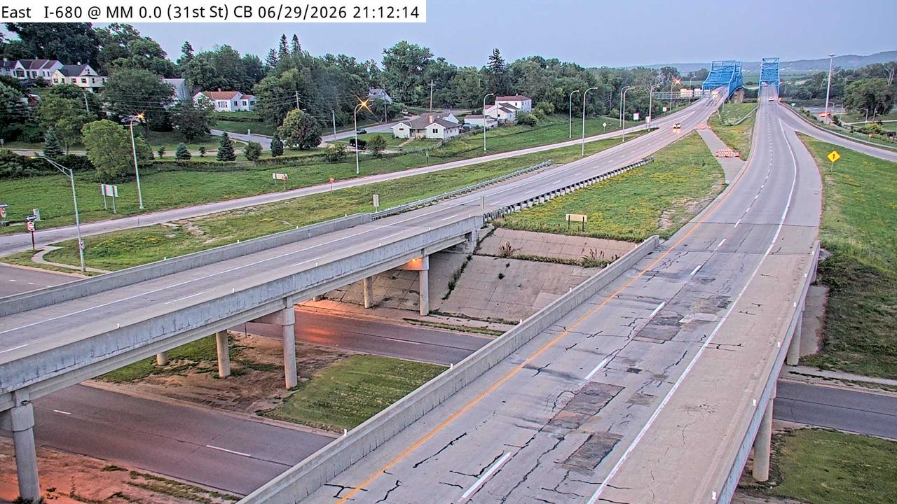 WorkingStill imageI-680 at MM 0 (31st St - NE), Council Bluffs
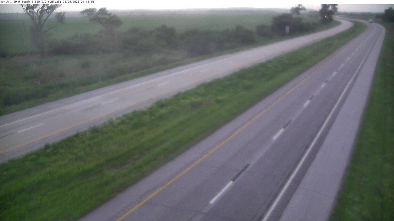 WorkingStill imageI-29 at MM 61.2 (S of I-680 Interchange), Council Bluffs
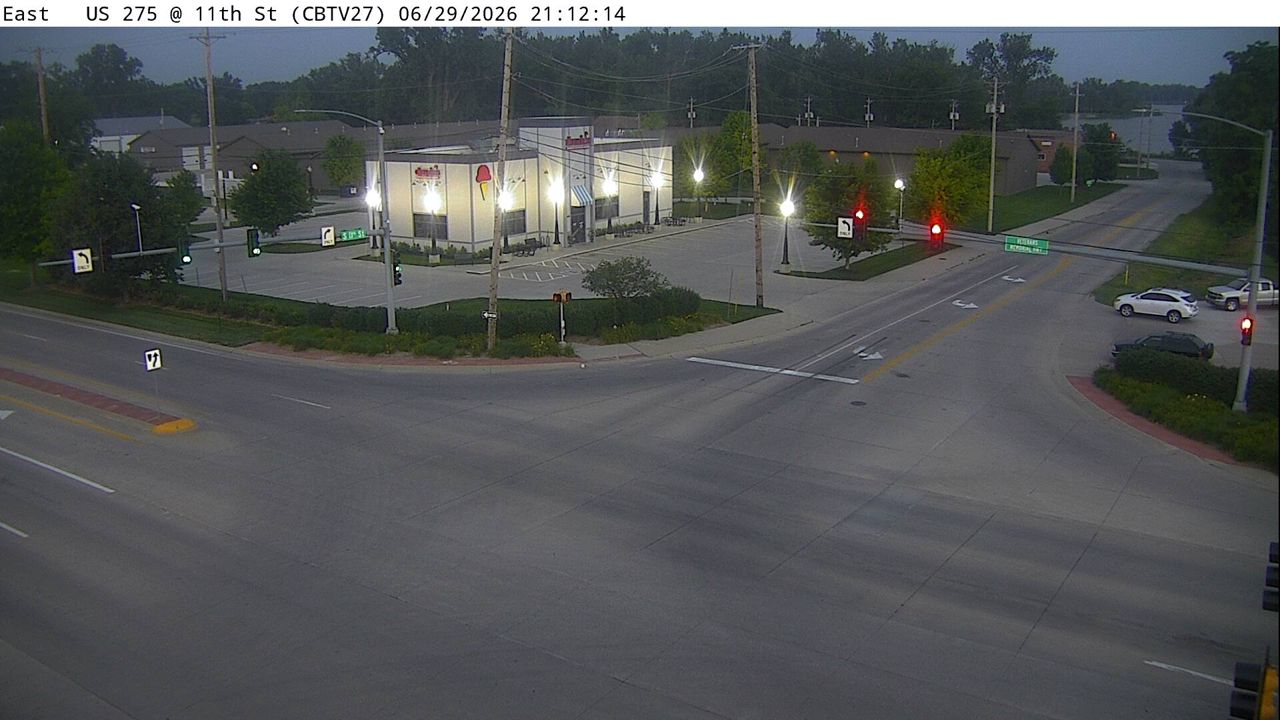 WorkingStill imageUS 275 at MM 55.6 (11th St), Council Bluffs
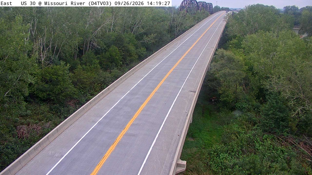 WorkingStill imageUS 30 at Missouri River (03)
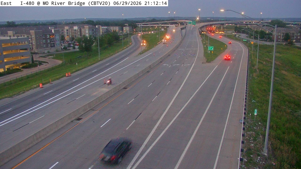 Not checked yetStill imageI-480 at MM 0.1 (Missouri River Bridge), Council Bluffs
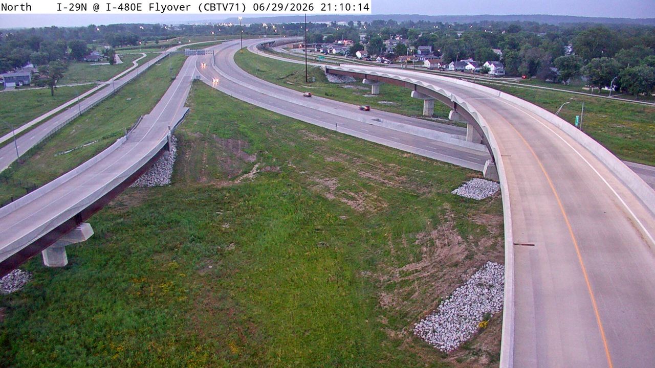 Not checked yetStill imageI-29 at MM 53.9 (I-480E Flyover), Council Bluffs
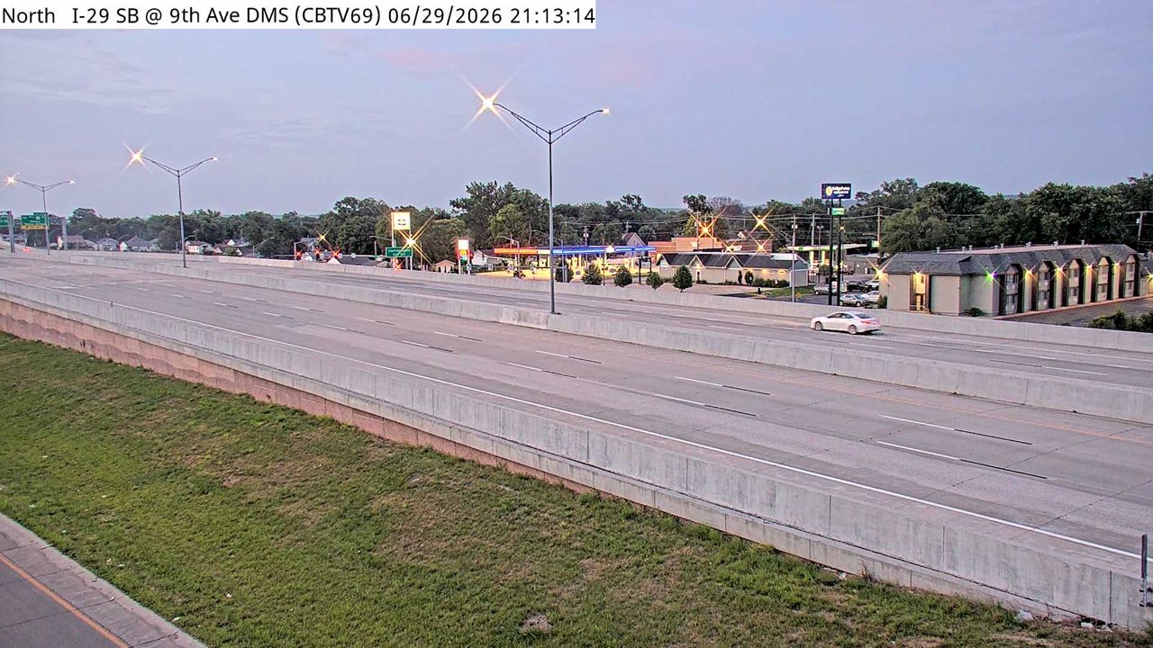 Not checked yetStill imageI-29 at MM 53.2 (9th Ave DMS), Council Bluffs
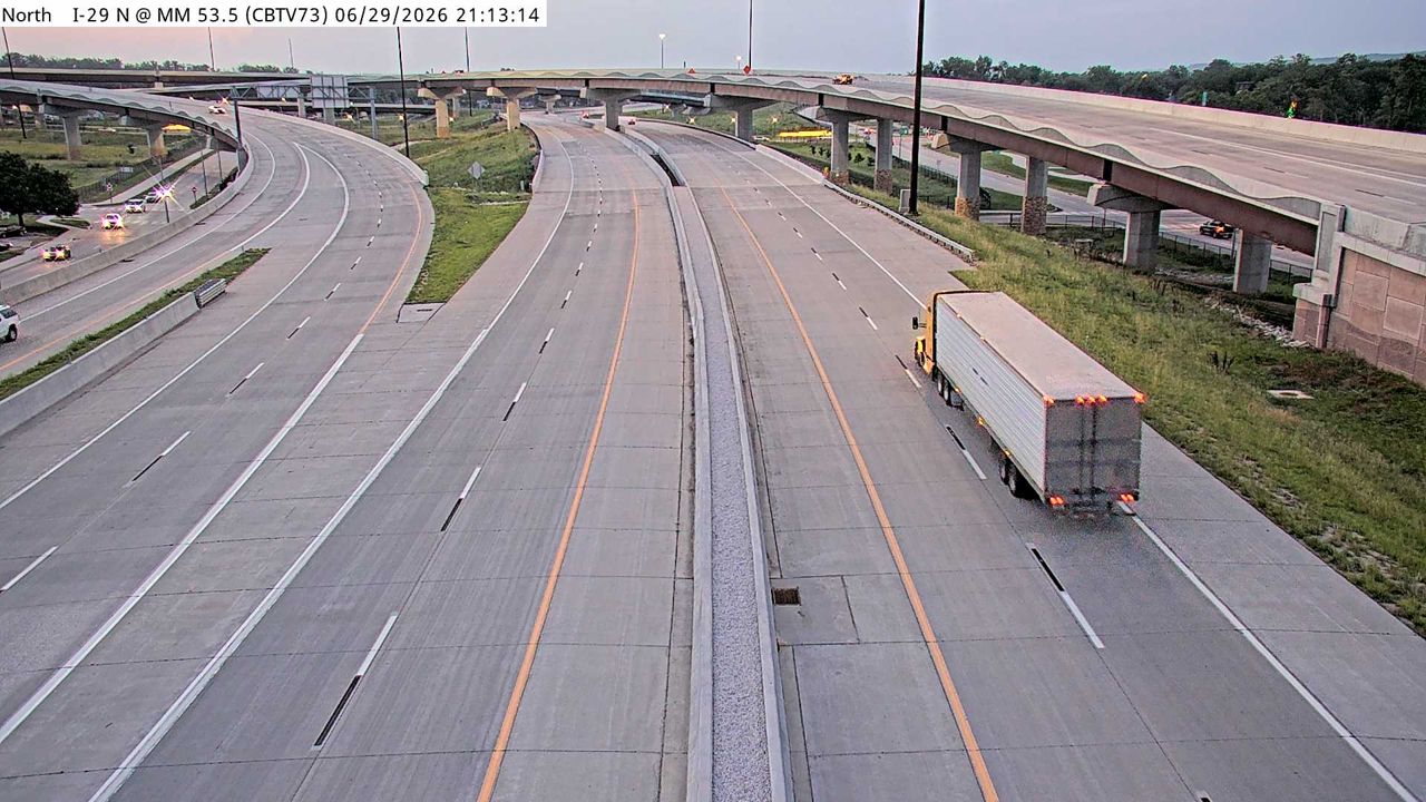 Not checked yetStill imageI-29 at MM 53.6, Council Bluffs
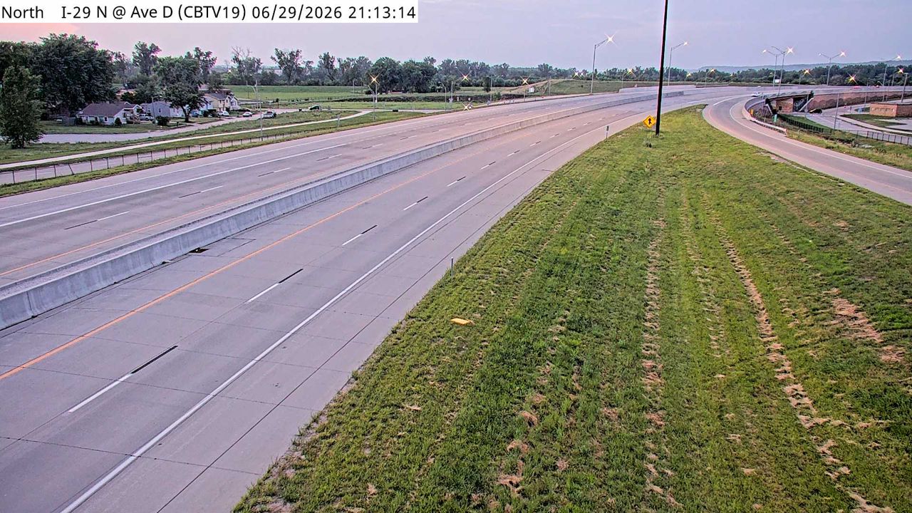 Not checked yetStill imageI-29 at MM 54.1, Council Bluffs
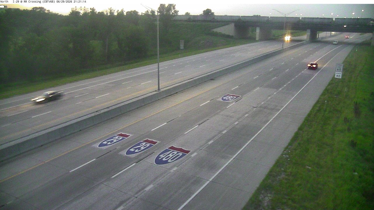 Not checked yetStill imageI-29 at MM 52.9 (RR Crossing), Council Bluffs
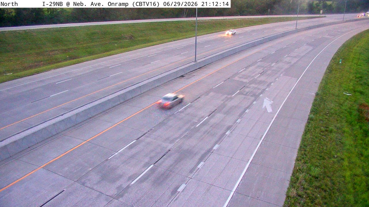 Not checked yetStill imageI-29 at MM 52.7 (Nebraska Ave DMS), Council Bluffs
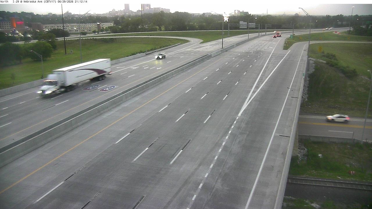 Not checked yetStill imageI-29 at MM 52.5 (Nebraska Ave), Council Bluffs
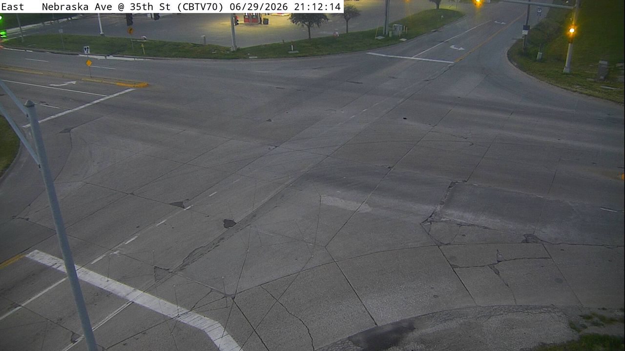 Not checked yetStill imageNebraska Ave at 35th St (70), Council Bluffs
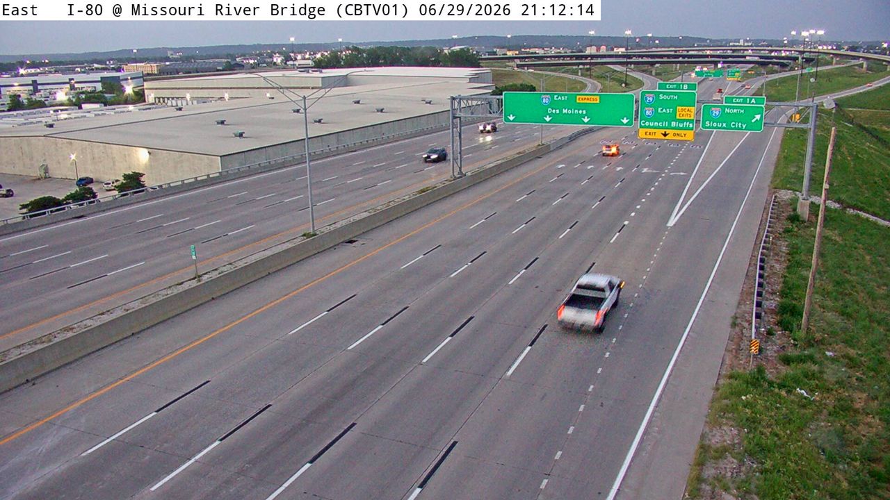 Not checked yetStill imageI-80 at MM 0.1 (Missouri River Bridge), Council Bluffs
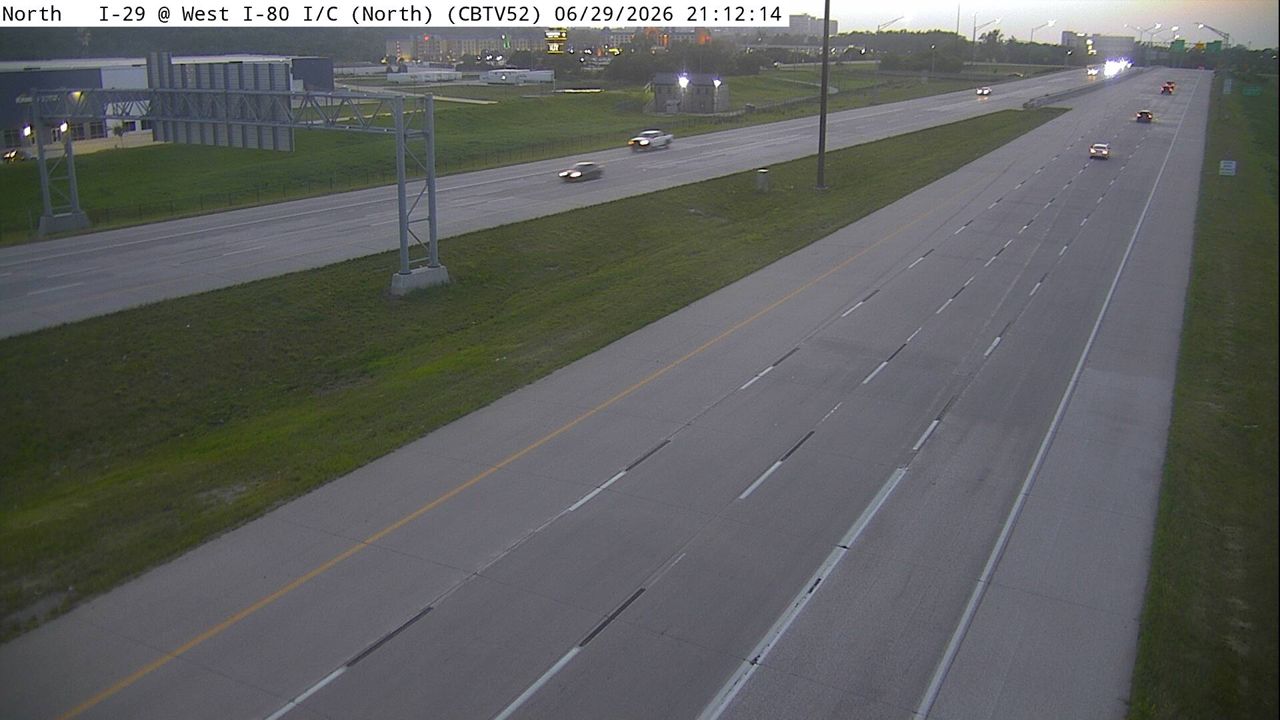 Not checked yetStill imageI-29 at MM 52.1 (West I-80 Interchange - N), Council Bluffs
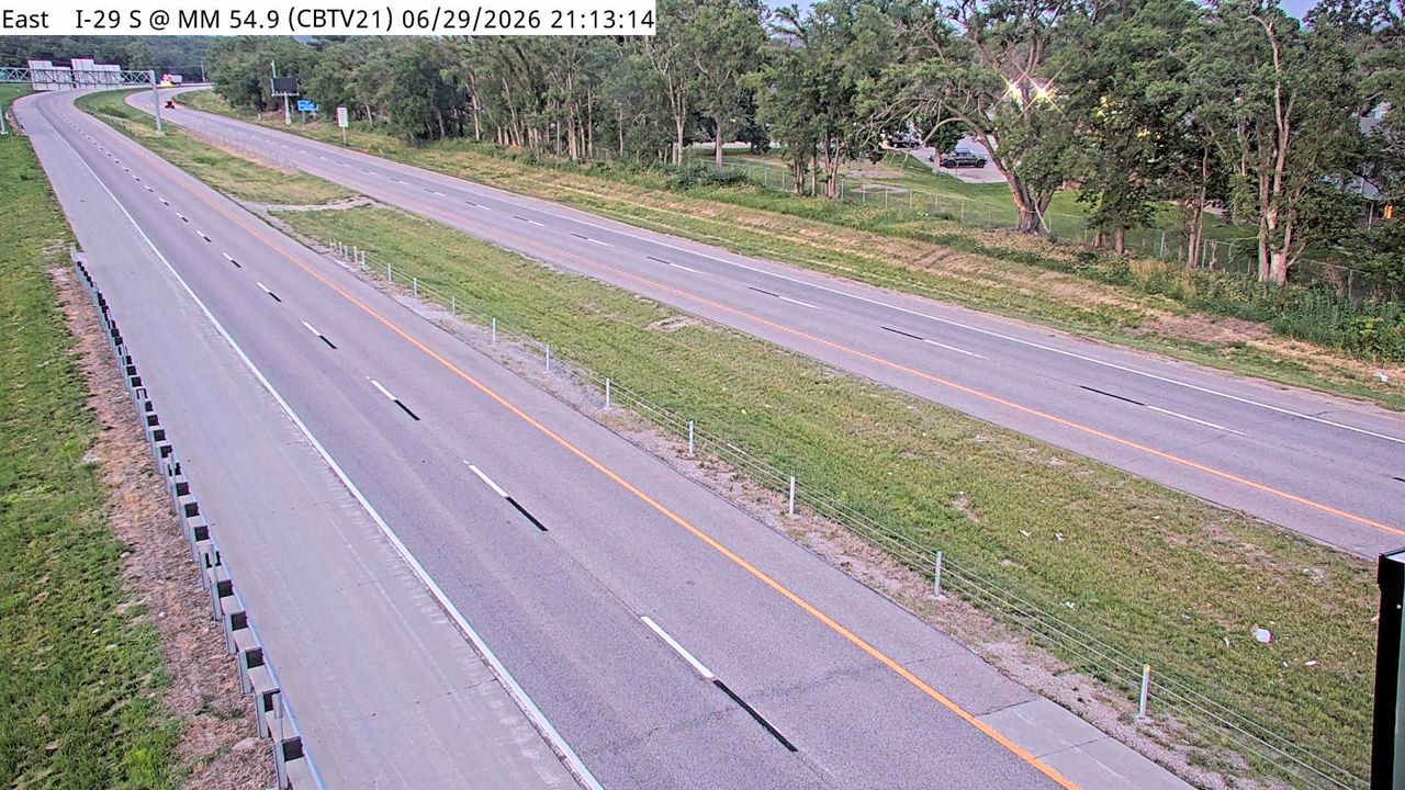 Not checked yetStill imageI-29 at MM 55, Council Bluffs
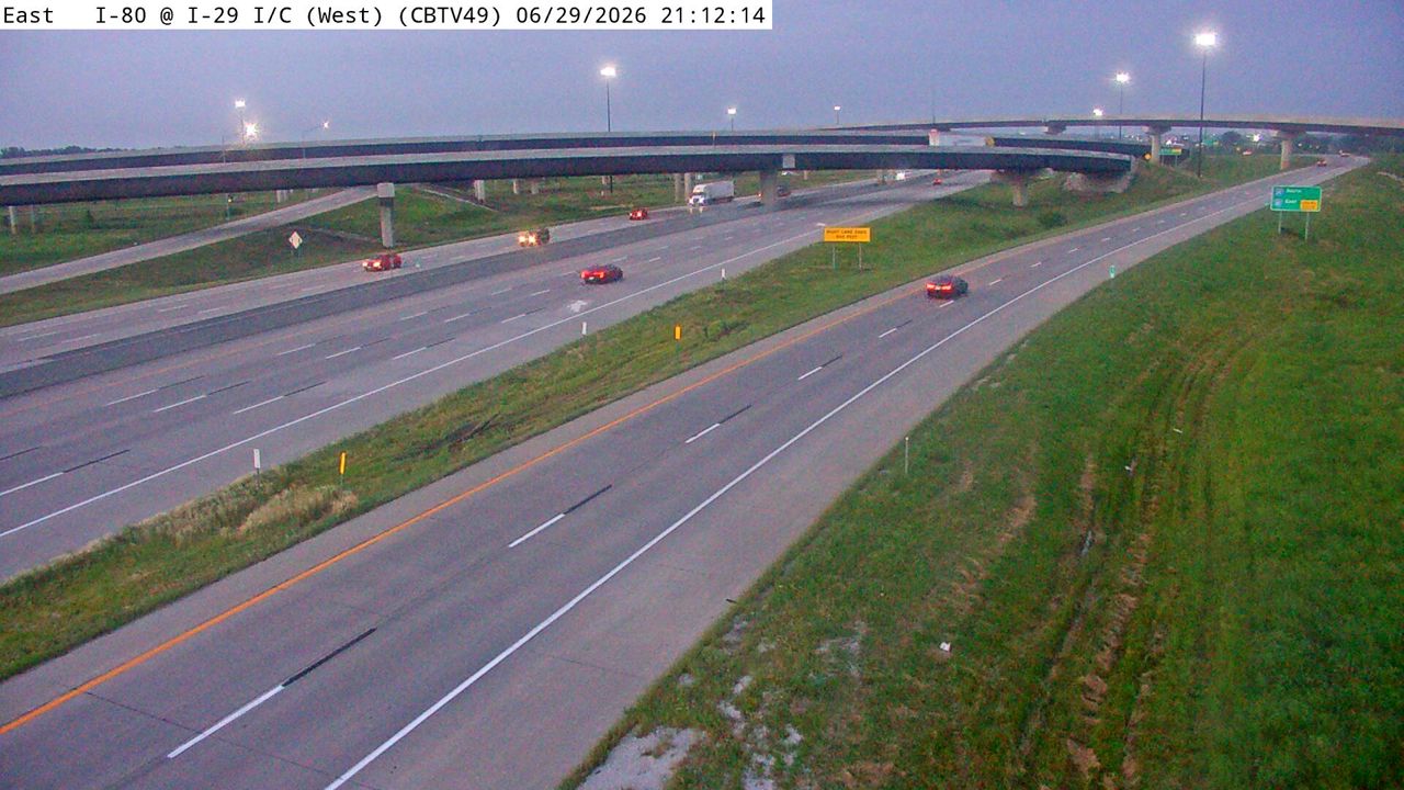 Not checked yetStill imageI-80 at MM 0.5 (West I-29 Interchange - W), Council Bluffs
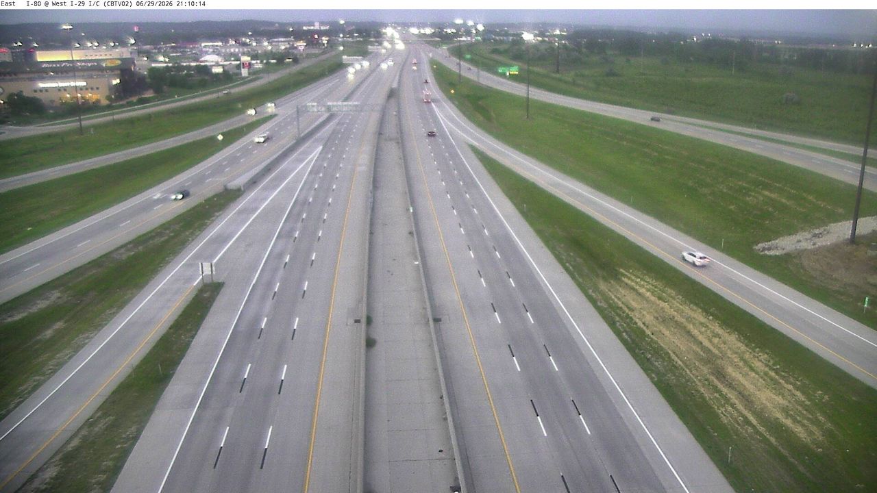 Not checked yetStill imageI-80 at MM 0.7 (West I-29 Interchange), Council Bluffs
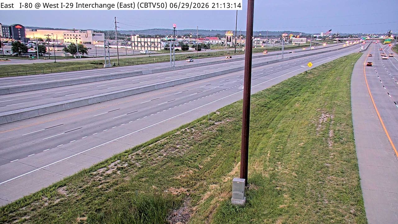 Not checked yetStill imageI-80 at MM 1 (West I-29 Interchange - E), Council Bluffs
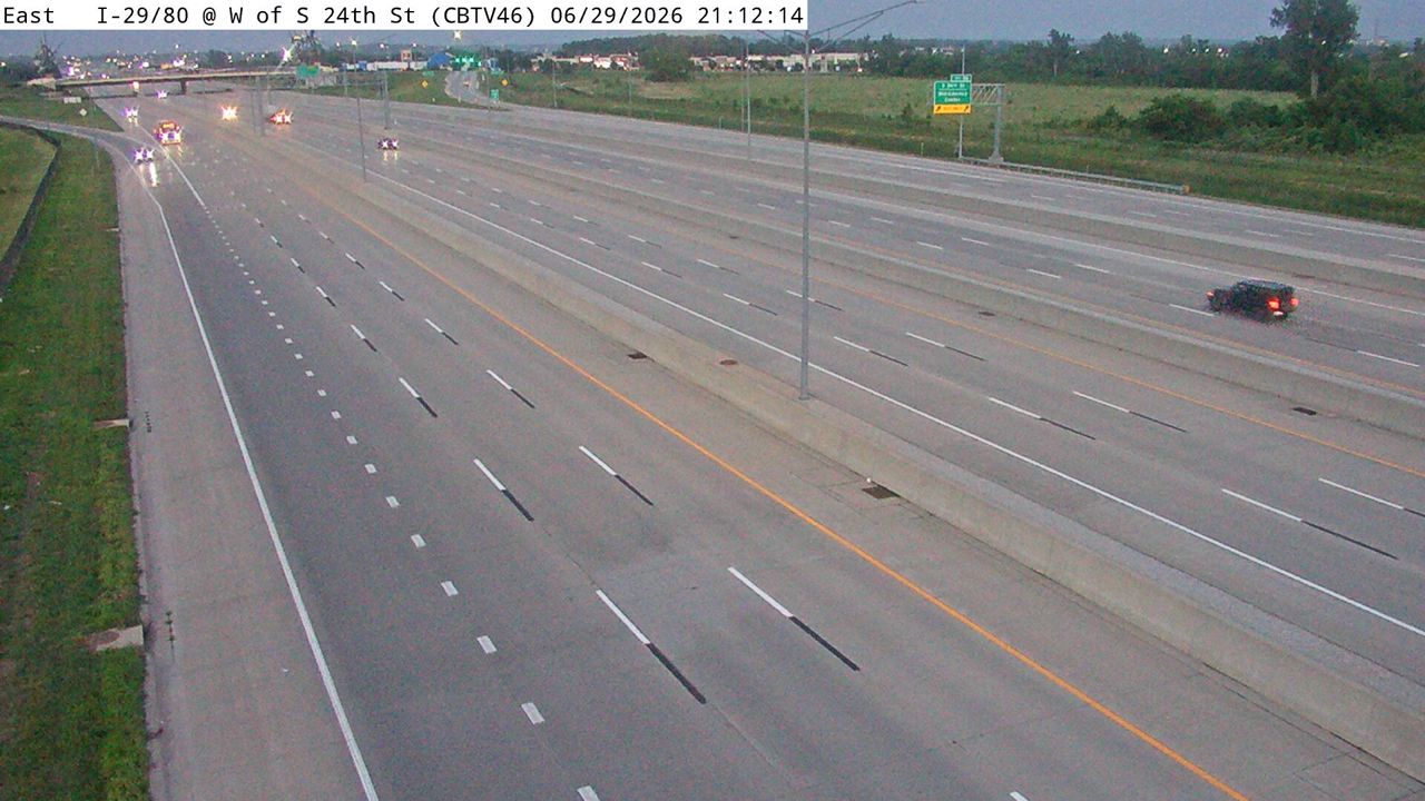 Not checked yetStill imageI-29/80 at MM 1.2 (W of S 24th St - N), Council Bluffs
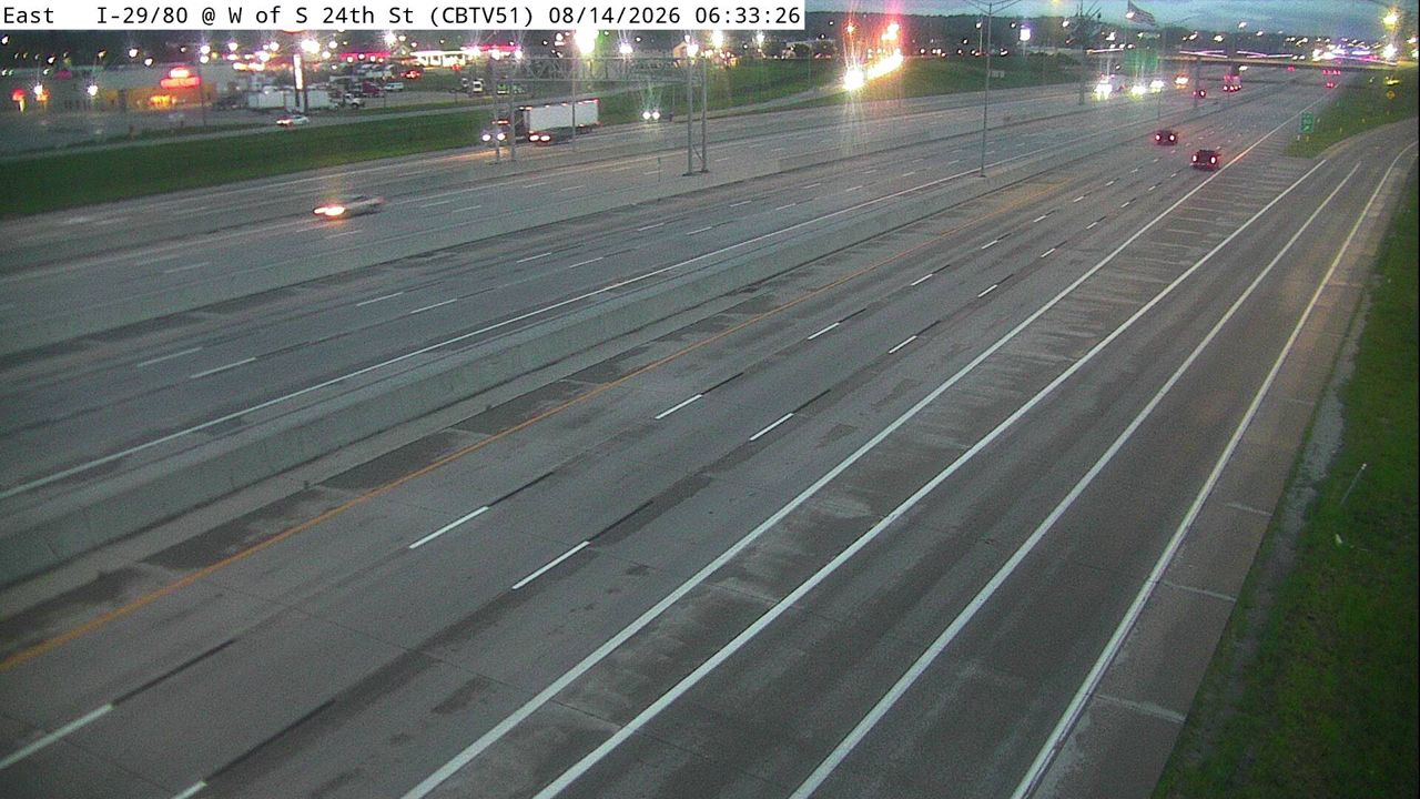 Not checked yetStill imageI-29/80 at MM 1.4 (W of S 24th St - S), Council Bluffs
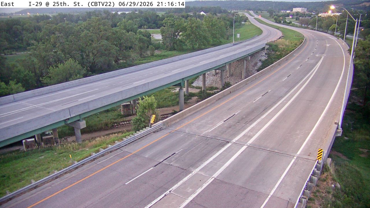 Not checked yetStill imageI-29 at MM 56 (25th St), Council Bluffs
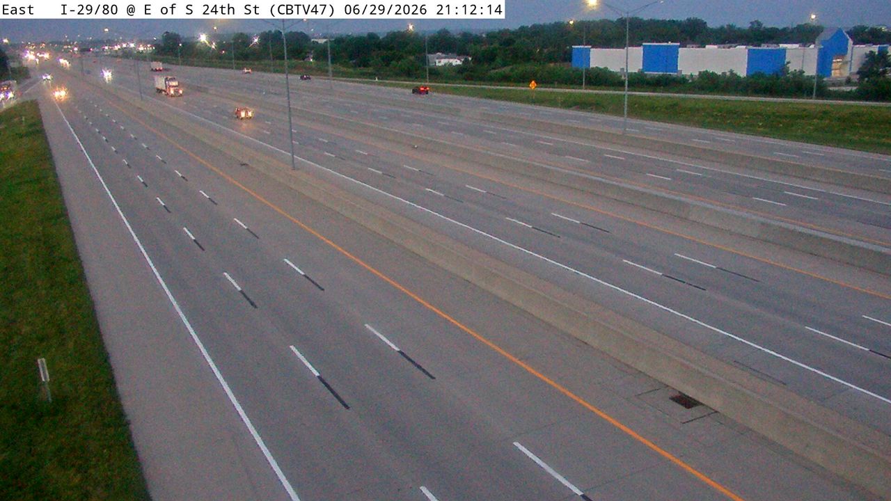 Not checked yetStill imageI-29/80 at MM 1.7 (E of S 24th St - N), Council Bluffs
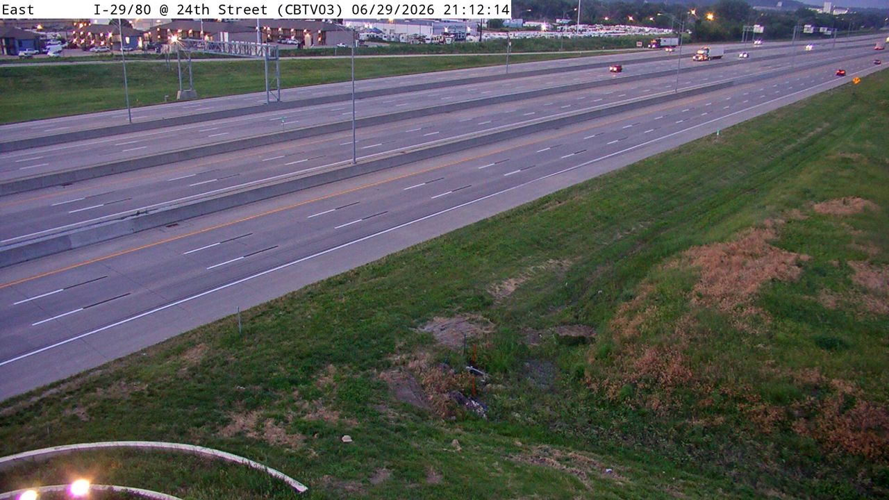 Not checked yetStill imageI-29/80 at MM 50.8 (S 24th St), Council Bluffs
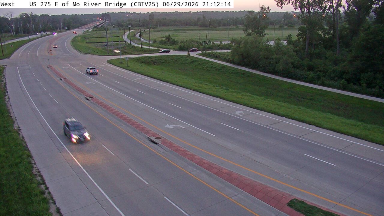 Not checked yetStill imageUS 275 at MM 58.6 (E of Missouri River Bridge), Council Bluffs
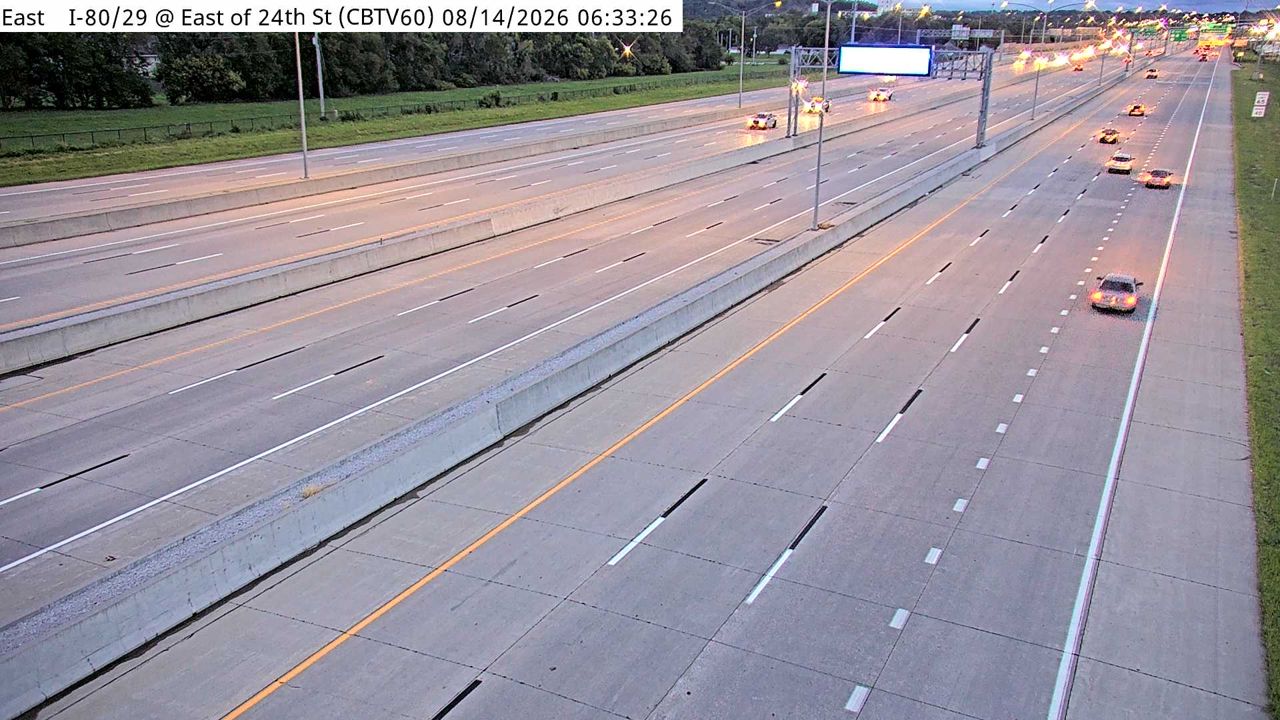 Not checked yetStill imageI-29/80 at MM 2.1 (E of S 24th St - S), Council Bluffs
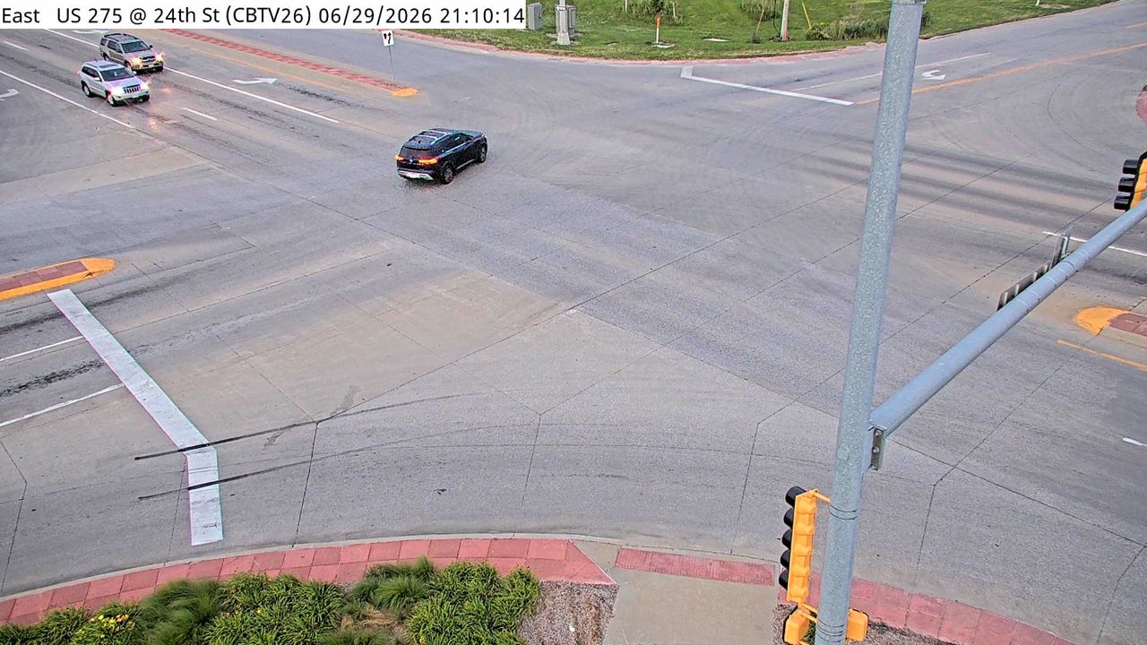 Not checked yetStill imageUS 275 at MM 56.6 (24th St), Council Bluffs
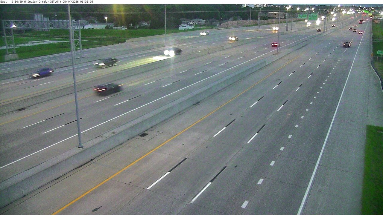 Not checked yetStill imageI-29/80 at MM 2.3 (W of Indian Creek), Council Bluffs
 Not checked yetStill imageI-29 at MM 56.9 (IA 192)
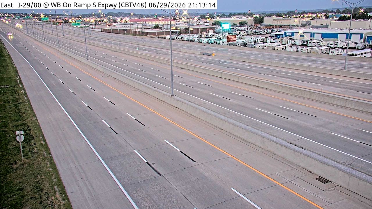 Not checked yetStill imageI-29/80 at MM 2.5 (E of Indian Creek), Council Bluffs
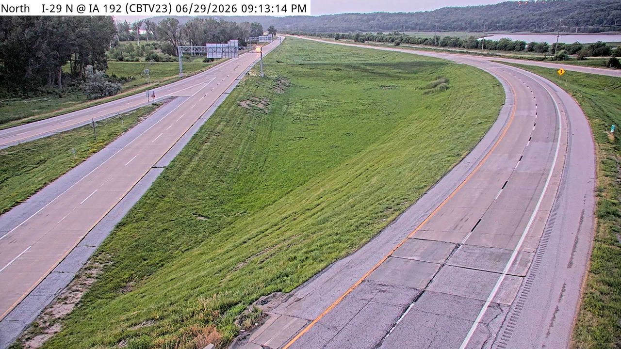 Not checked yetStill imageI-29 at MM 57 (IA 192), Council Bluffs
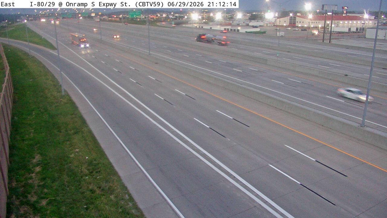 Not checked yetStill imageI-29/80 at MM 2.7 (S Expressway St WB Ent Ramp), Council Bluffs
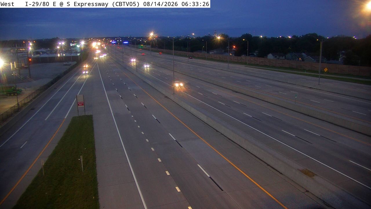 Not checked yetStill imageI-29/80 at MM 49.6 (S Expressway), Council Bluffs
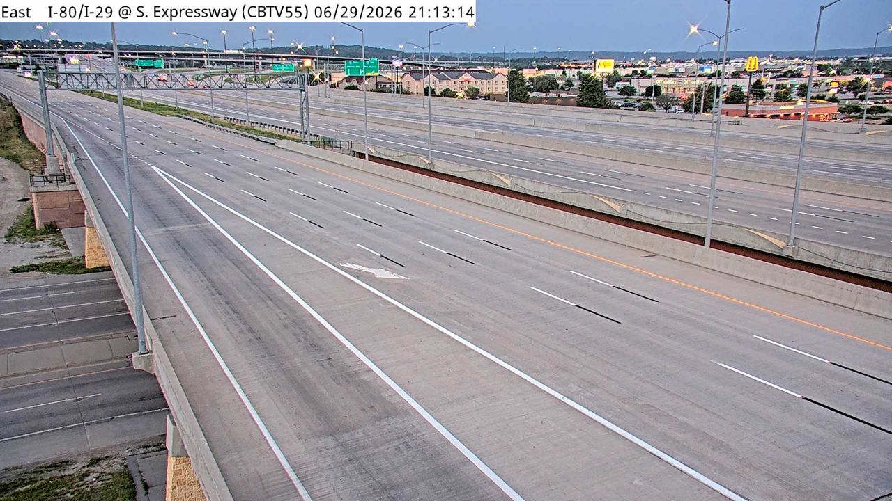 Not checked yetStill imageI-29/80 at MM 3.1 (S Expressway St), Council Bluffs
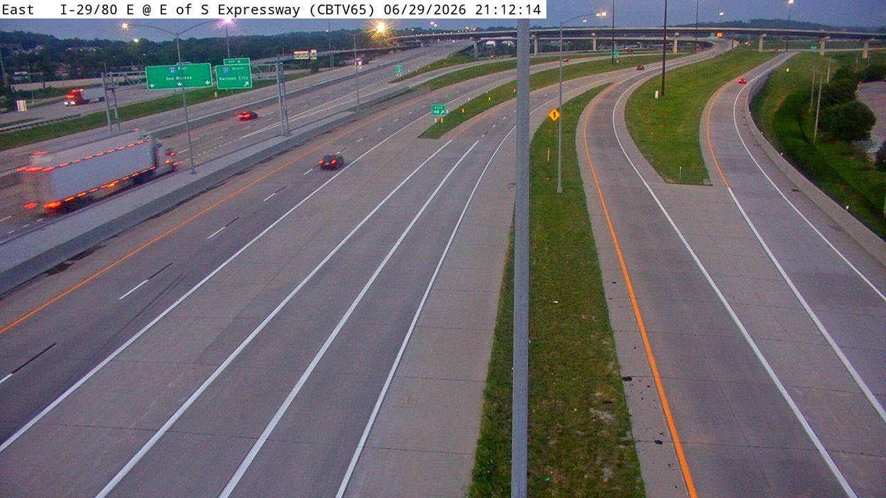 Not checked yetStill imageI-29/80 at MM 49.2 (E of S Expressway), Council Bluffs
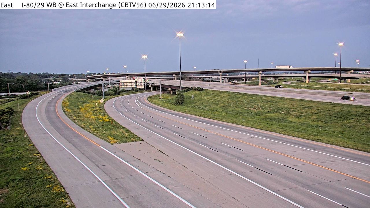 Not checked yetStill imageI-29/80 WB at MM 3.5 (East Interchange), Council Bluffs
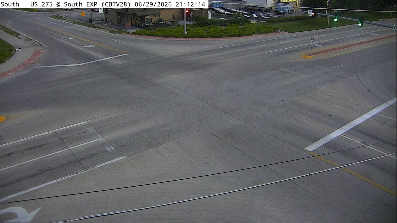 Not checked yetStill imageUS 275 at MM 55 (South Expressway), Council Bluffs
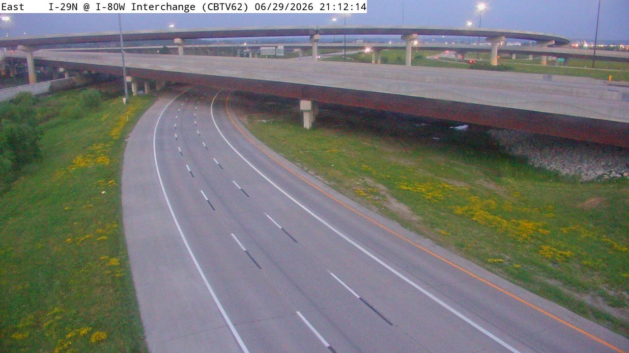 Not checked yetStill imageI-29 at MM 48.9 (I-80W Interchange), Council Bluffs
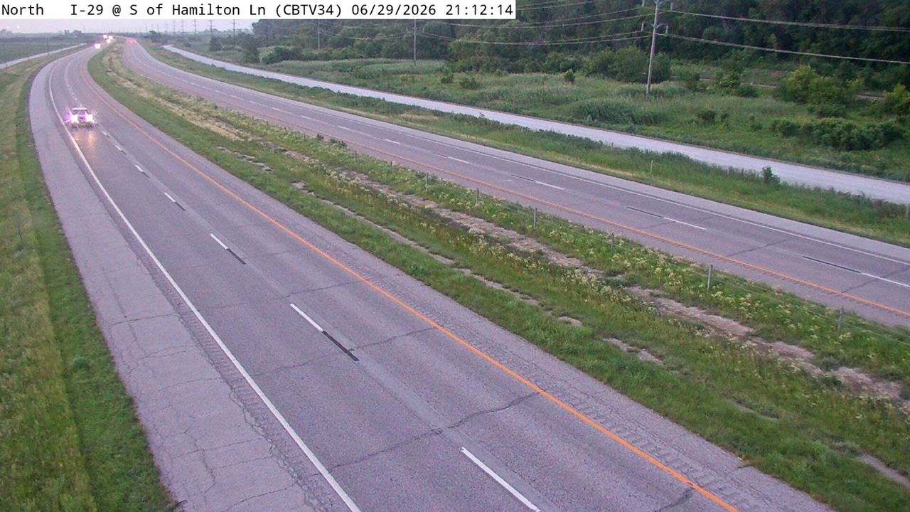 Not checked yetStill imageI-29 at MM 59.7 (S of Hamilton Ln), Council Bluffs
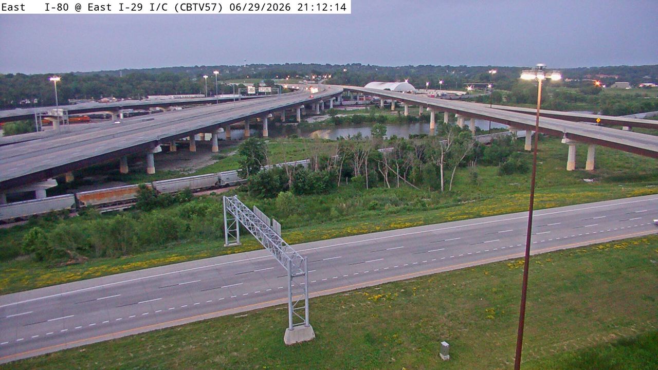 Not checked yetStill imageI-29 at MM 48.8 (E I-29 Interchange), Council Bluffs
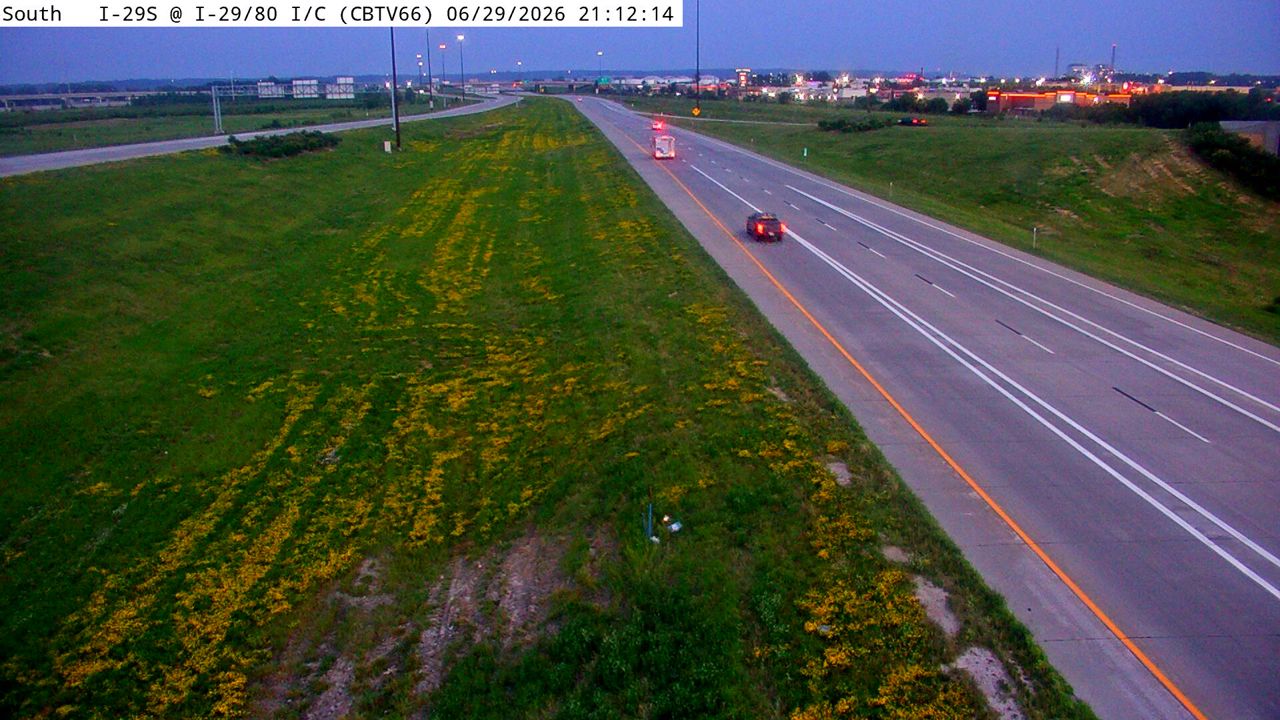 Not checked yetStill imageI-29 at MM 48.6 (I-29/80 Interchange), Council Bluffs
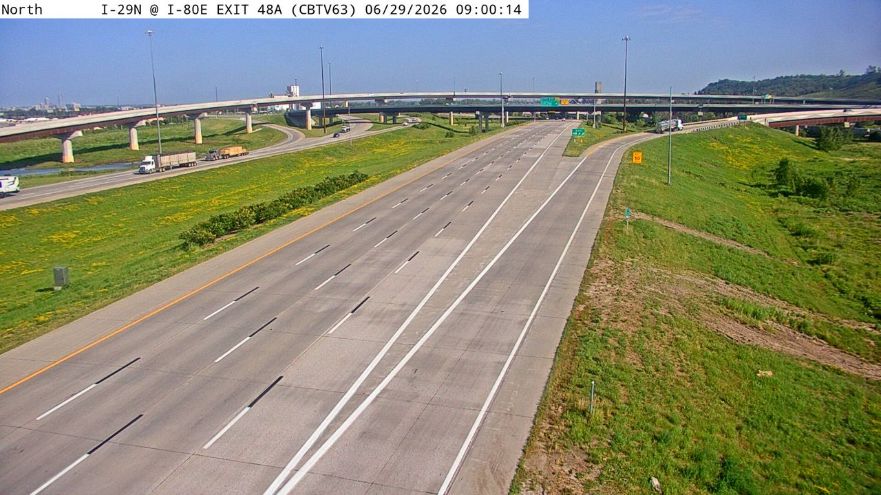 Not checked yetStill imageI-29 at MM 48.4 (Exit 48A), Council Bluffs
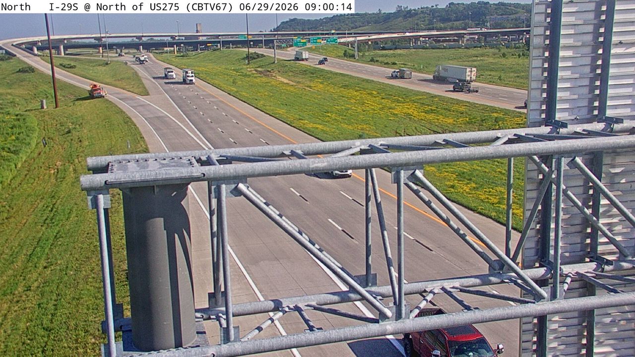 Not checked yetStill imageI-29 at MM 48.2 (N of US 275), Council Bluffs
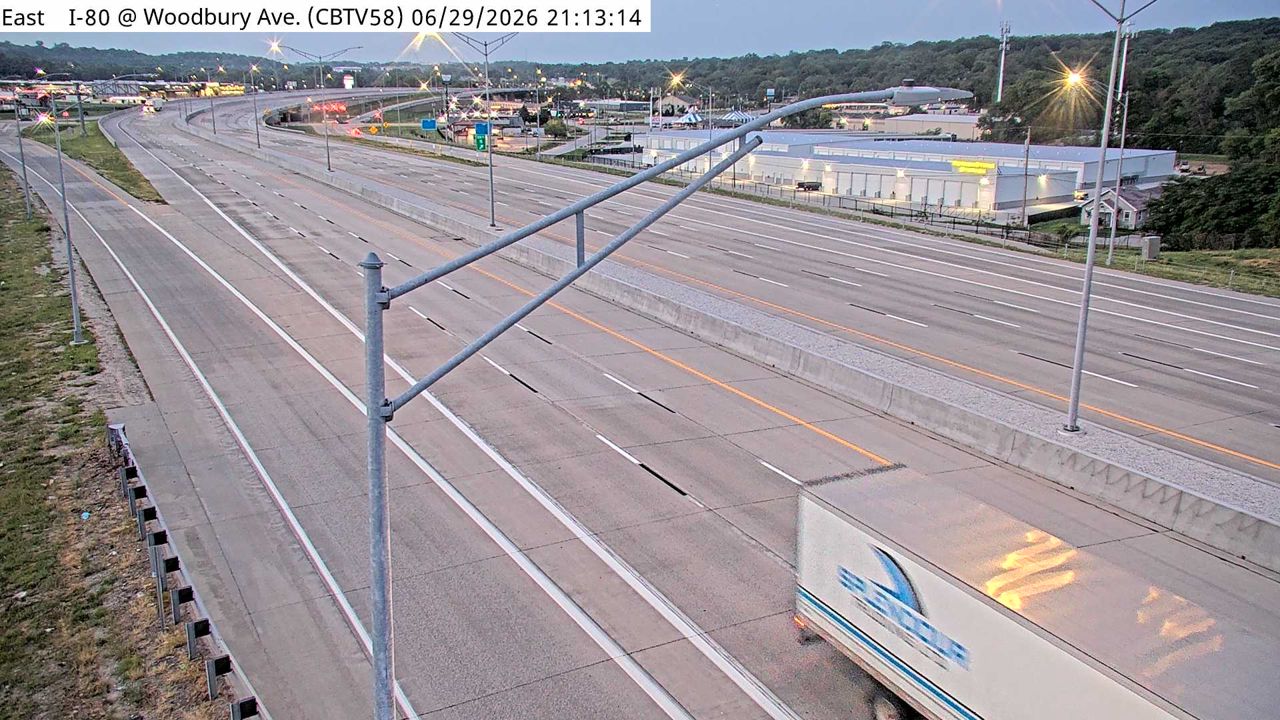 Not checked yetStill imageI-80 at MM 4.7 (Woodbury Ave), Council Bluffs
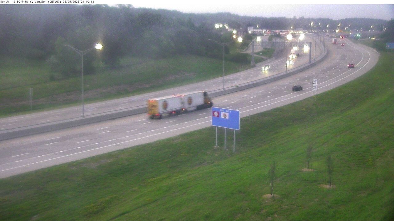 Not checked yetStill imageI-80 at MM 4.5 (E of Harry Langdon Blvd), Council Bluffs
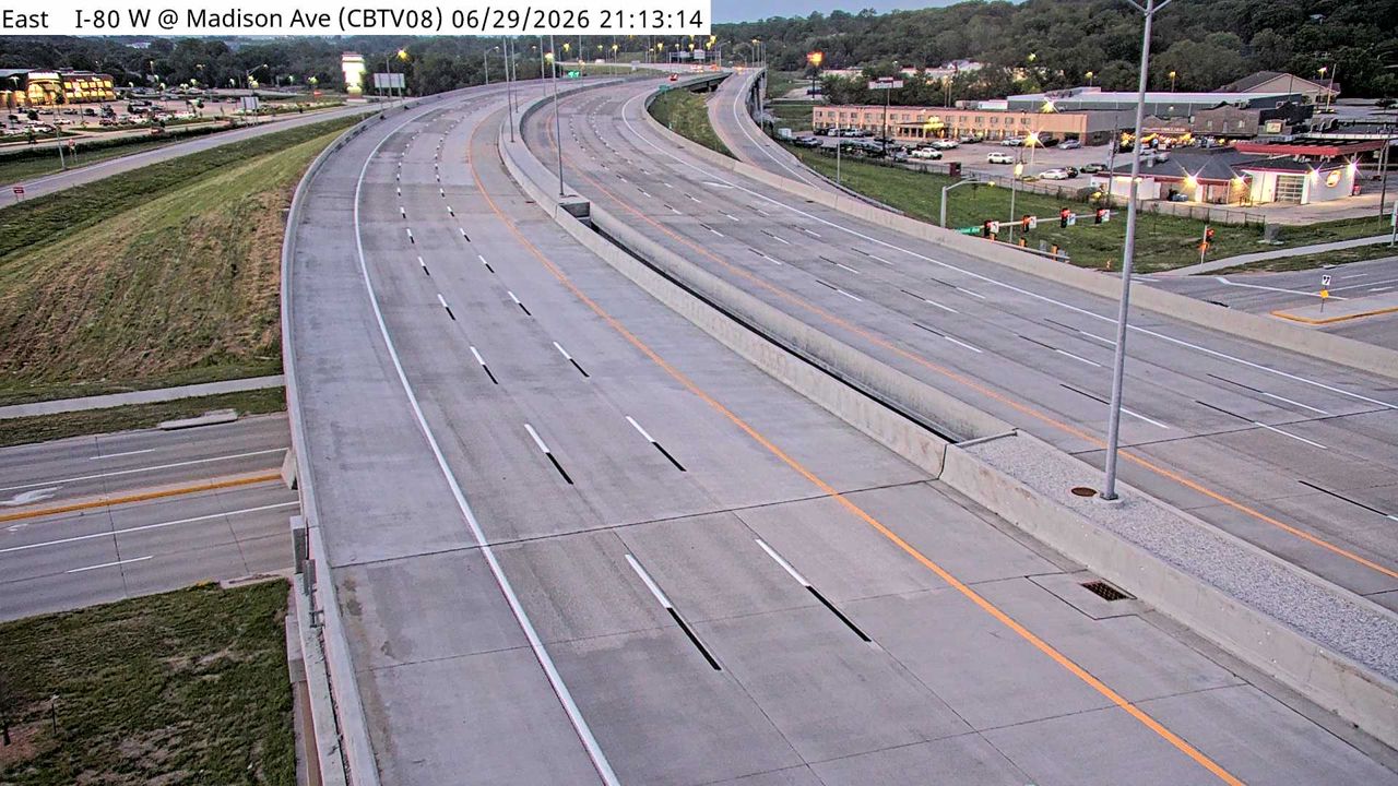 Not checked yetStill imageI-80 at MM 5 (Madison Ave), Council Bluffs
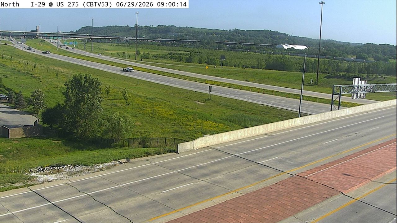 Not checked yetStill imageI-29 at MM 47.9 (US 275), Council Bluffs
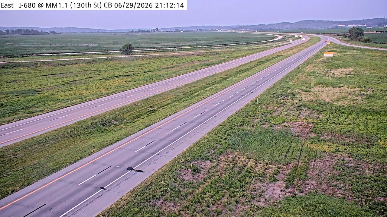 Not checked yetStill imageI-680 at MM 1.1 (130th St), Council Bluffs
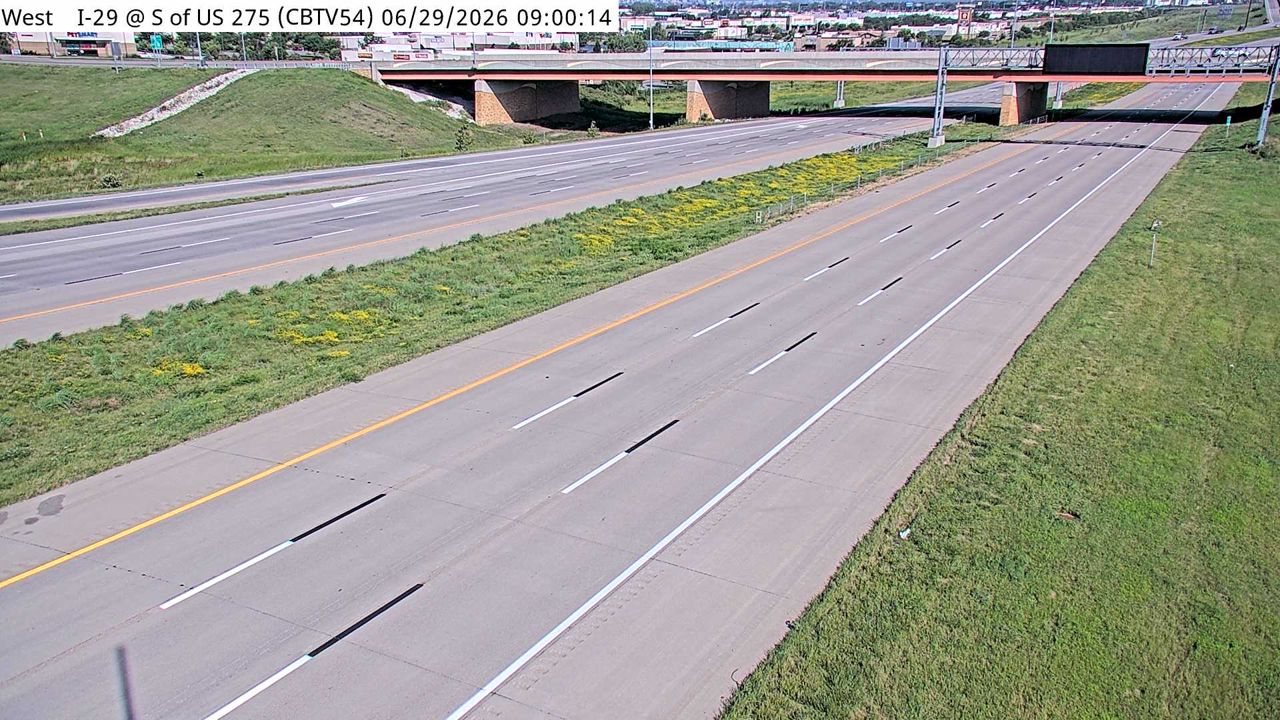 Not checked yetStill imageI-29 at MM 47.8 (S of US 275), Council Bluffs
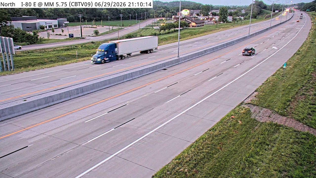 Not checked yetStill imageI-80 at MM 5.5, Council Bluffs
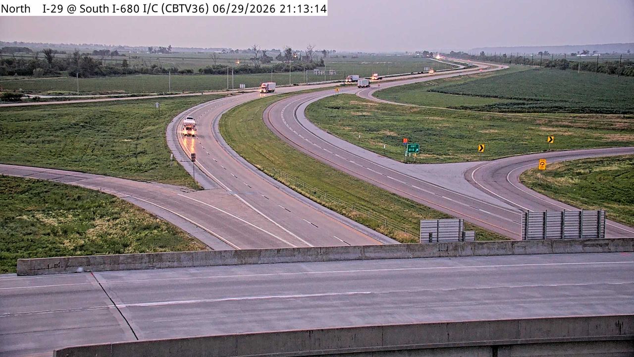 Not checked yetStill imageI-29 at MM 61.9 (I-680 Interchange), Council Bluffs
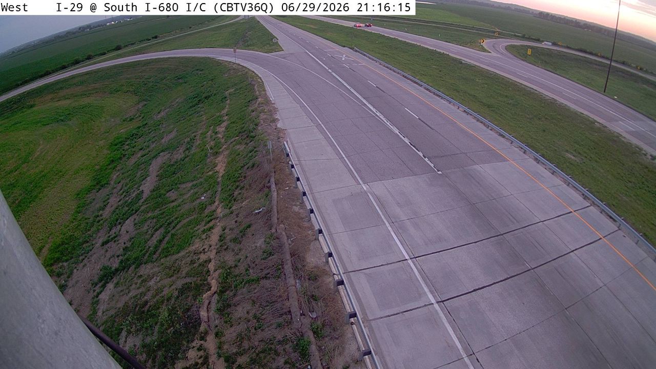 Not checked yetStill imageI-29 at MM 61.9 (I-680 Interchange)-Q, Council Bluffs
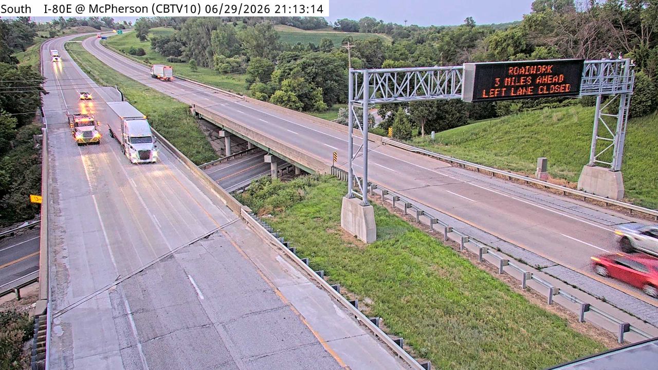 Not checked yetStill imageI-80 at MM 6.6 (McPherson Ave), Council Bluffs
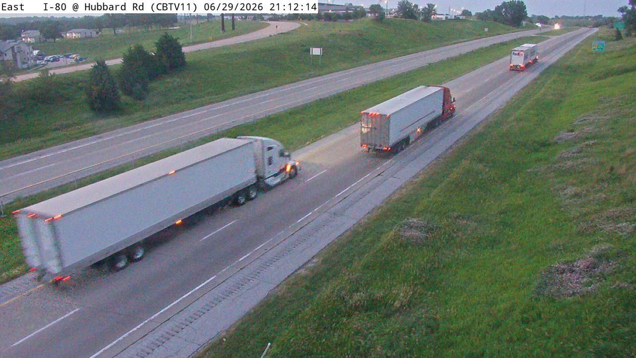 Not checked yetStill imageI-80 at MM 7.3 (Hubbard Rd), Council Bluffs
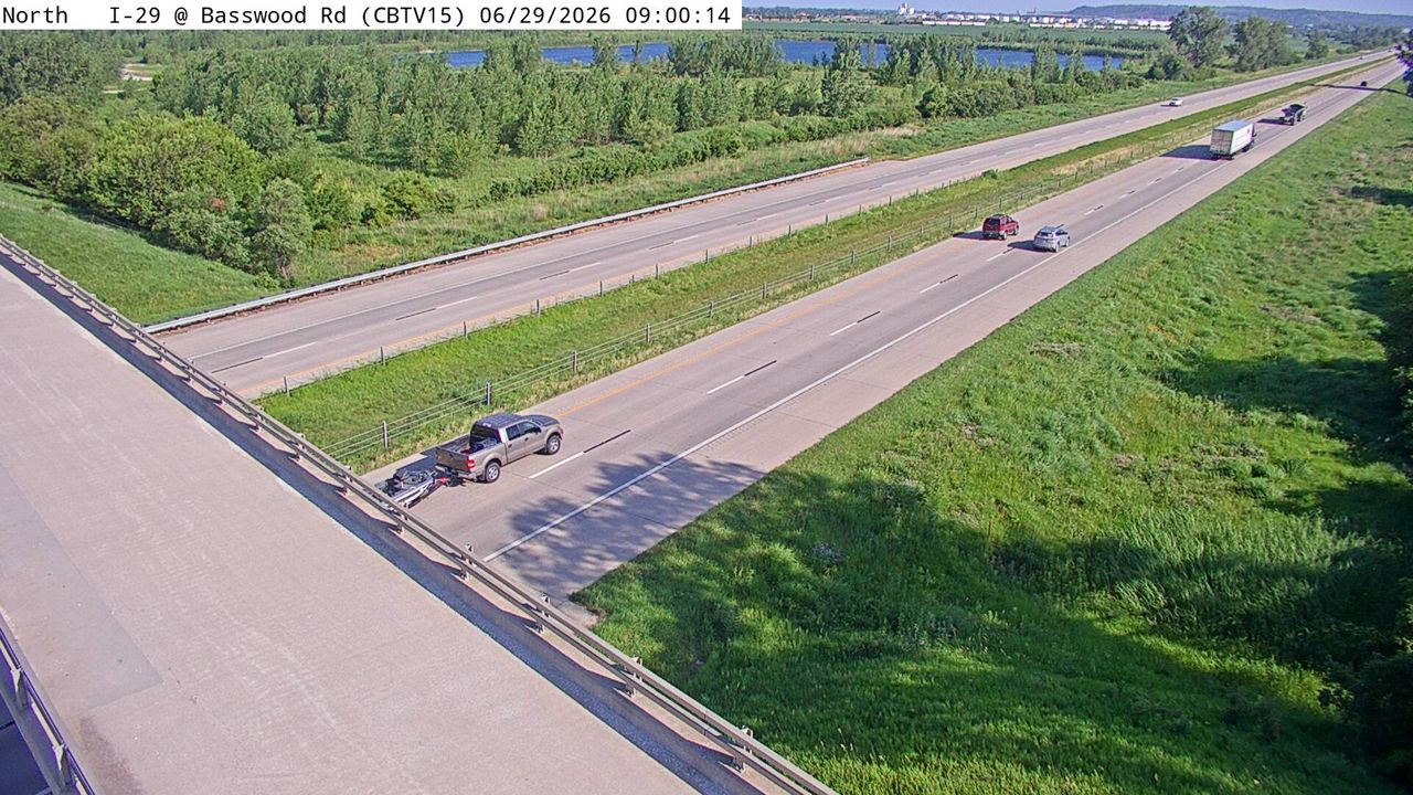 Not checked yetStill imageI-29 at MM 45.6 (Basswood Rd), Council Bluffs
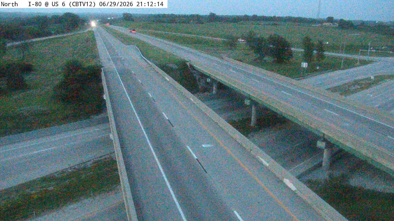 Not checked yetStill imageI-80 at MM 8.3 (US 6), Council Bluffs
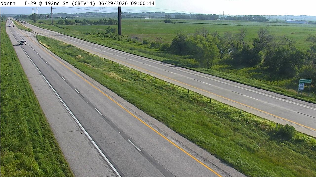 Not checked yetStill imageI-29 at MM 44.6 (192nd St), Council Bluffs
 Not checked yetStill imageUS 30 at MM 0.2 (Marina Dr)
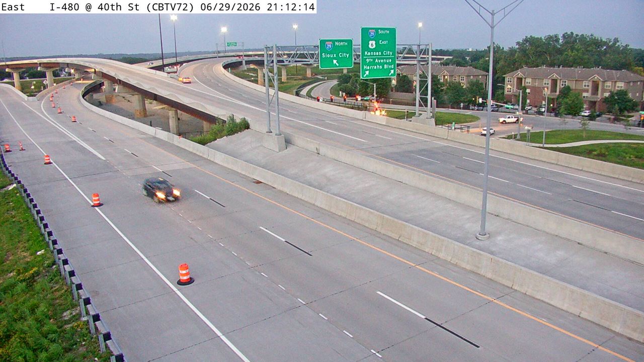 IntermittentStill imageI-480 at MM 0.4 (W of 40th St), Council Bluffs
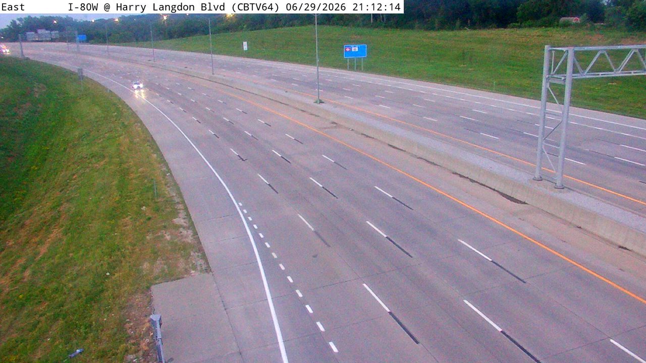 IntermittentStill imageI-80 at MM 4.3 (Harry Langdon Blvd), Council Bluffs
No live video among these cameras. Turn off "Live video only" to see them all.
Best cams to watch
- I-29 at MM 53.4, Council Bluffs — Still image · every 5 min, working 100 % of the time in the last 30 days.
- I-29 at MM 52.1 (I-80 EB Ramp), Council Bluffs — Still image · every 5 min, working 100 % of the time in the last 30 days.
- I-29 at MM 55.1, Council Bluffs — Still image · every 5 min, working 100 % of the time in the last 30 days.
Omaha is the largest city in Nebraska, with about 486,000 residents at the 2020 census, spread along the west bank of the Missouri River a few miles north of where the Platte River joins it. Founded in 1854, it grew as a rail and meatpacking center and is now home to large insurance, finance and engineering employers. Visitors know it for the Henry Doorly Zoo and Aquarium, the Old Market's brick streets, and every June for the College World Series, when college baseball teams and their fans fill Charles Schwab Field downtown.
About these cameras
The cameras linked to Omaha on LiveLocation are operated by the Iowa Department of Transportation, not by Nebraska. That is because Council Bluffs, Iowa, sits directly across the river, and the Iowa approaches to the city are some of the busiest roads in the metro. Interstate 80 crosses the Missouri between the two cities, Interstate 480 runs into downtown Omaha over its own bridge, and Interstate 29 follows the river on the Iowa side. Expect views of interchanges, bridge approaches and the long stretch where I-29 and I-80 share a route through Council Bluffs. Some cameras are paired with road-weather sensors, and images refresh every few minutes. For views inside Nebraska itself, look for neighboring places on the map.
Omaha is on Central Time. Summers are hot and humid with frequent evening thunderstorms, and winters are cold, with an average season bringing a little more than two feet of snow. Wind-driven snow on the open Iowa side can cut visibility quickly. Rush hours are short but real, mostly between seven and eight in the morning and four and six in the afternoon, and traffic swells on College World Series game days. Summer daylight lasts until nearly nine in late June.
On a calm evening the Bob Kerrey Pedestrian Bridge, which links the two riverfronts on foot, is lit up and worth a walk if you are in town.
Sources: Omaha, Nebraska - Wikipedia · Interstate 480 (Nebraska-Iowa) - Wikipedia · Iowa 511 traveler information.
Nearby places
- Des Moines (103)
- Council Bluffs (101)
- West Des Moines (95)
- Ankeny (80)
- Ames (63)
- Sioux City (60)
- Waterloo (57)
- Bellevue (52)
Questions about Omaha
How many webcams can I watch in Omaha?
LiveLocation lists 63 cameras in and around Omaha, United States: 0 live video, 63 still images. 7 of them were live or showing a fresh image at the last check.
Who runs the cameras in Omaha?
All of them come from Iowa DOT (63). Each camera plays straight from the agency or owner that runs it, with credit. Iowa DOT
What can I see on the Omaha cameras?
All of them show traffic and highway (63). Good ones to start with: I-29 at MM 53.4, Council Bluffs and I-29 at MM 52.1 (I-80 EB Ramp), Council Bluffs. I-29 at MM 53.4, Council Bluffs I-29 at MM 52.1 (I-80 EB Ramp), Council Bluffs
Can I watch live video from Omaha?
Not yet: the cameras here send still images that refresh about every 5 minutes. The map can show only live-video cameras nearby. Live video on the map
What time is it in Omaha, and when is it light?
Omaha is on America/Chicago time. On October 9 the sun rises at 7:29 AM and sets at 6:52 PM, so still images are clearest between those times. Road cameras show the most traffic in the weekday morning and evening rush hours.
Which places near Omaha also have cameras?
The nearest are Council Bluffs (4.2 mi away, 101 cameras), Bellevue (8.7 mi away, 52 cameras) and Sioux City (89 mi away, 60 cameras). Council Bluffs Bellevue Sioux City
How can I see the Omaha cameras on a map?
The map at the top of this page shows all 63 of them. The live camera radar centers on Omaha and lists every camera within 5 to 250 miles, nearest first, with filters for live video, traffic, nature and more. Open the radar on Omaha
Place names and locations: GeoNames, licensed under CC BY 4.0.