Live cameras in Ames, United States
63 cameras: 0 live video, 63 still images · 4 working now · updated Oct 8, 06:44 UTC
Ames has 63 live cameras on LiveLocation right now: 0 live video, 63 still images. Good places to start: US 30 at MM 146.7 (W of University Blvd), Ames/Boone/Nevada, I-35 at MM 112 (N of US 30), Ames/Boone/Nevada, US 30 at MM 144.9 (S Dakota Ave), Ames/Boone/Nevada. Local time is 1:44 AM (America/Chicago). Today the sun rises at 7:19 AM and sets at 6:44 PM.
Ames live cameras
Ames live cameras, all in one place: 0 live video, 63 still images. 4 of them were live or fresh at the last check. Ames is home to about 65,000 people.
Weather now in Ames: 56 °F (14 °C), cloudy, wind 6 mph (10 km/h) from the northwest. Forecast for 2 AM local time. Weather: MET Norway (CC BY 4.0)
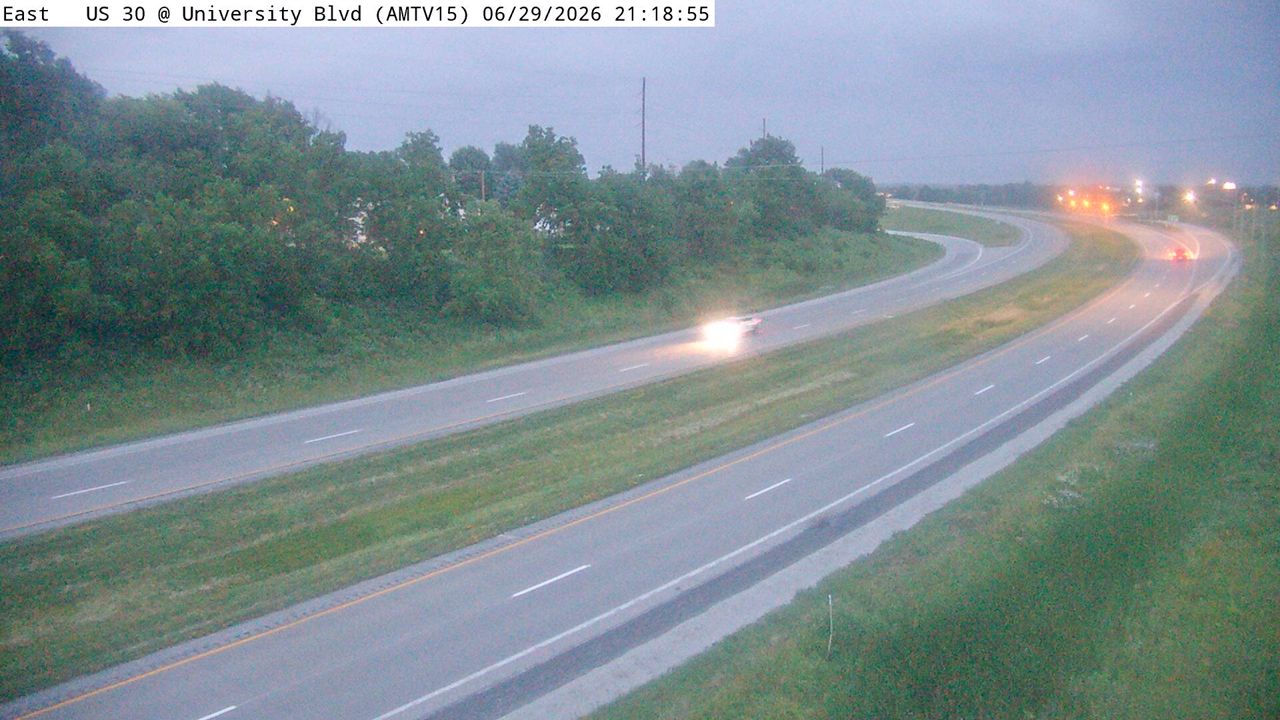 WorkingStill imageUS 30 at MM 146.7 (W of University Blvd), Ames/Boone/Nevada
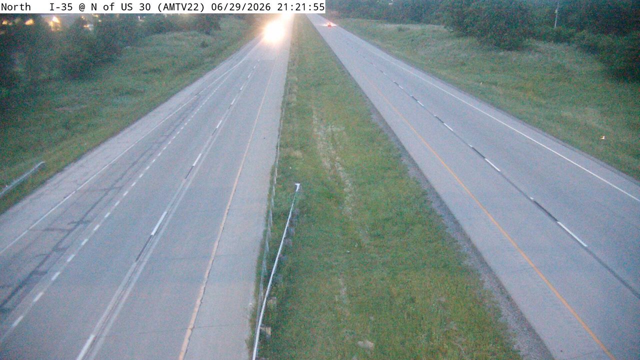 WorkingStill imageI-35 at MM 112 (N of US 30), Ames/Boone/Nevada
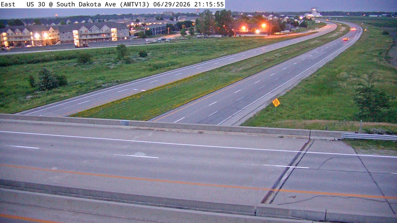 WorkingStill imageUS 30 at MM 144.9 (S Dakota Ave), Ames/Boone/Nevada
 WorkingStill imageI-35 MM 140 at Williams DMS
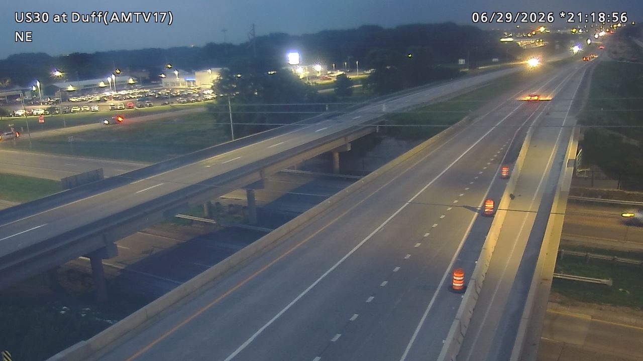 Not checked yetStill imageUS 30 at MM 148.5 (S Duff Ave), Ames/Boone/Nevada
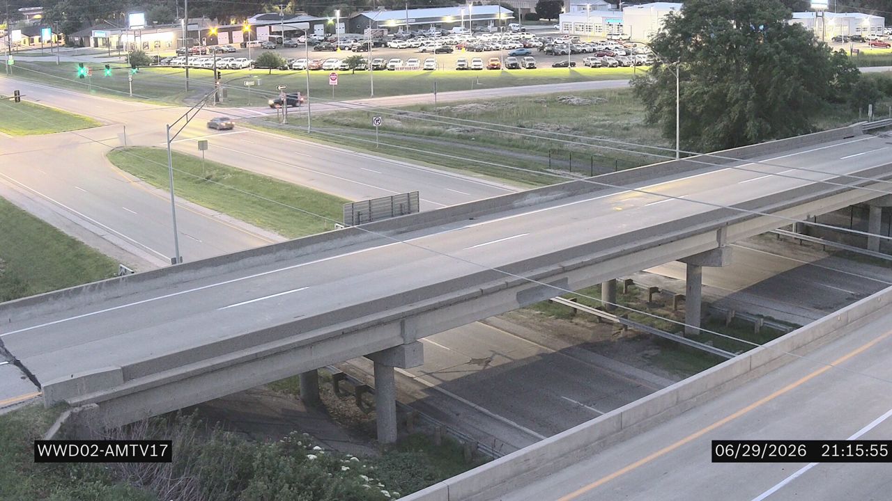 Not checked yetStill imageUS 30 at MM 148.5 (US 69)
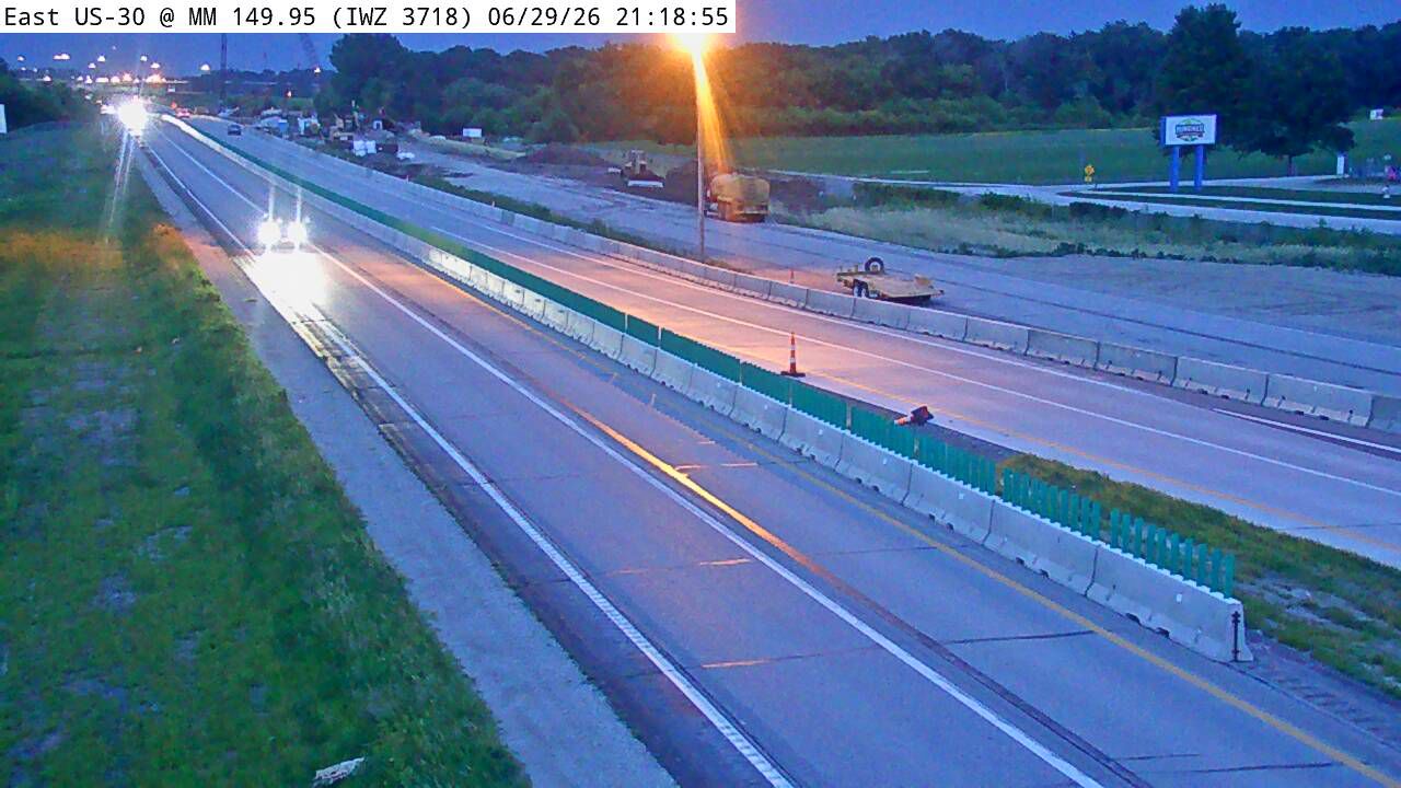 Not checked yetStill imageUS 30 at MM 149.9 (IWZ 3718)
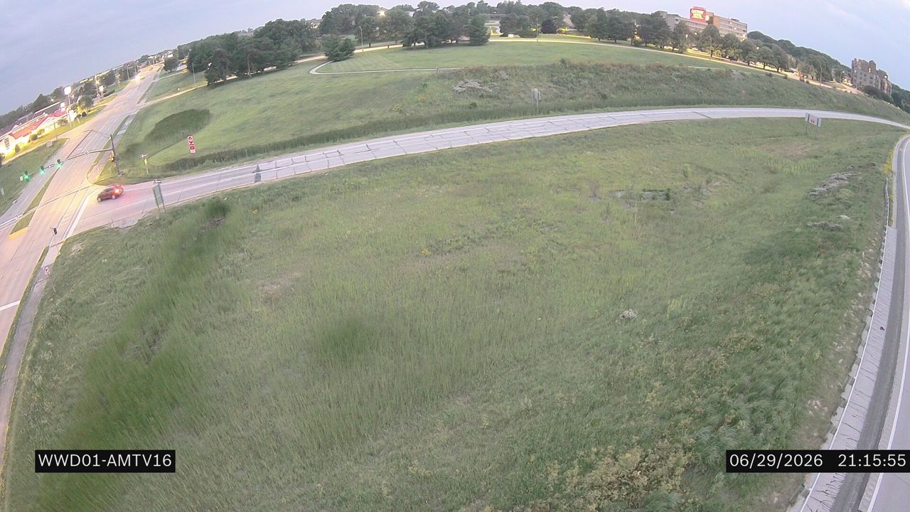
 Not checked yetStill imageUS 30 at MM 147 (University Blvd), Ames/Boone/Nevada
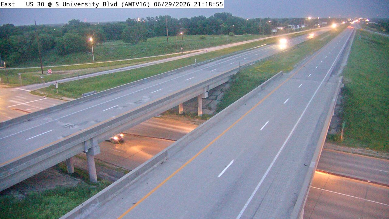
 Not checked yetStill imageUS 30 at MM 147 (S University Blvd)
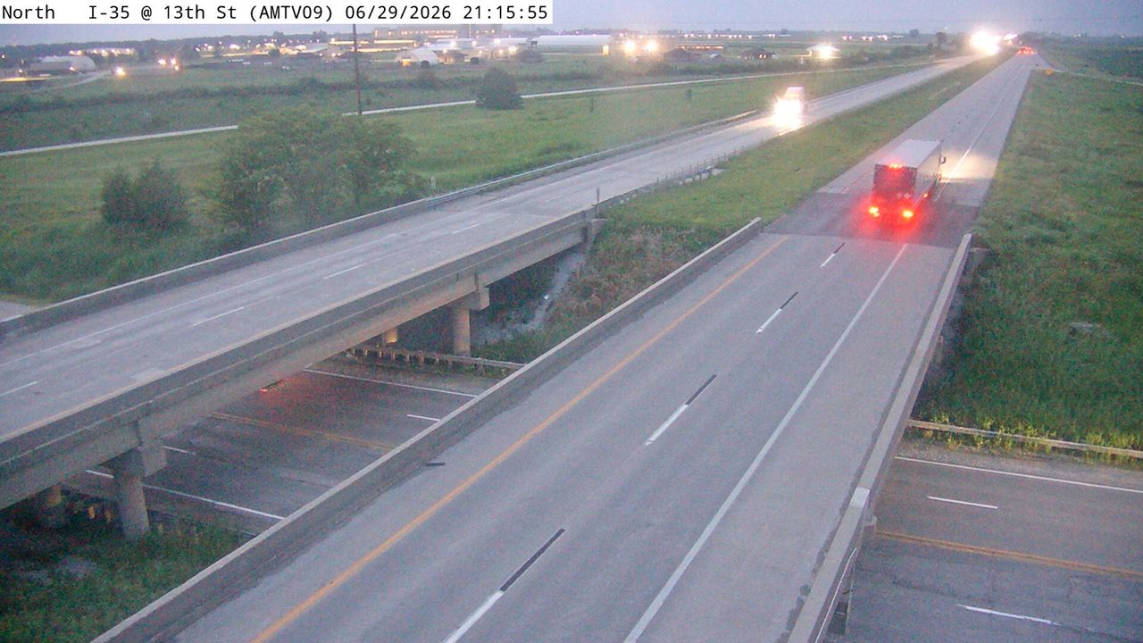 Not checked yetStill imageI-35 at MM 113.6 (E 13th St), Ames/Boone/Nevada
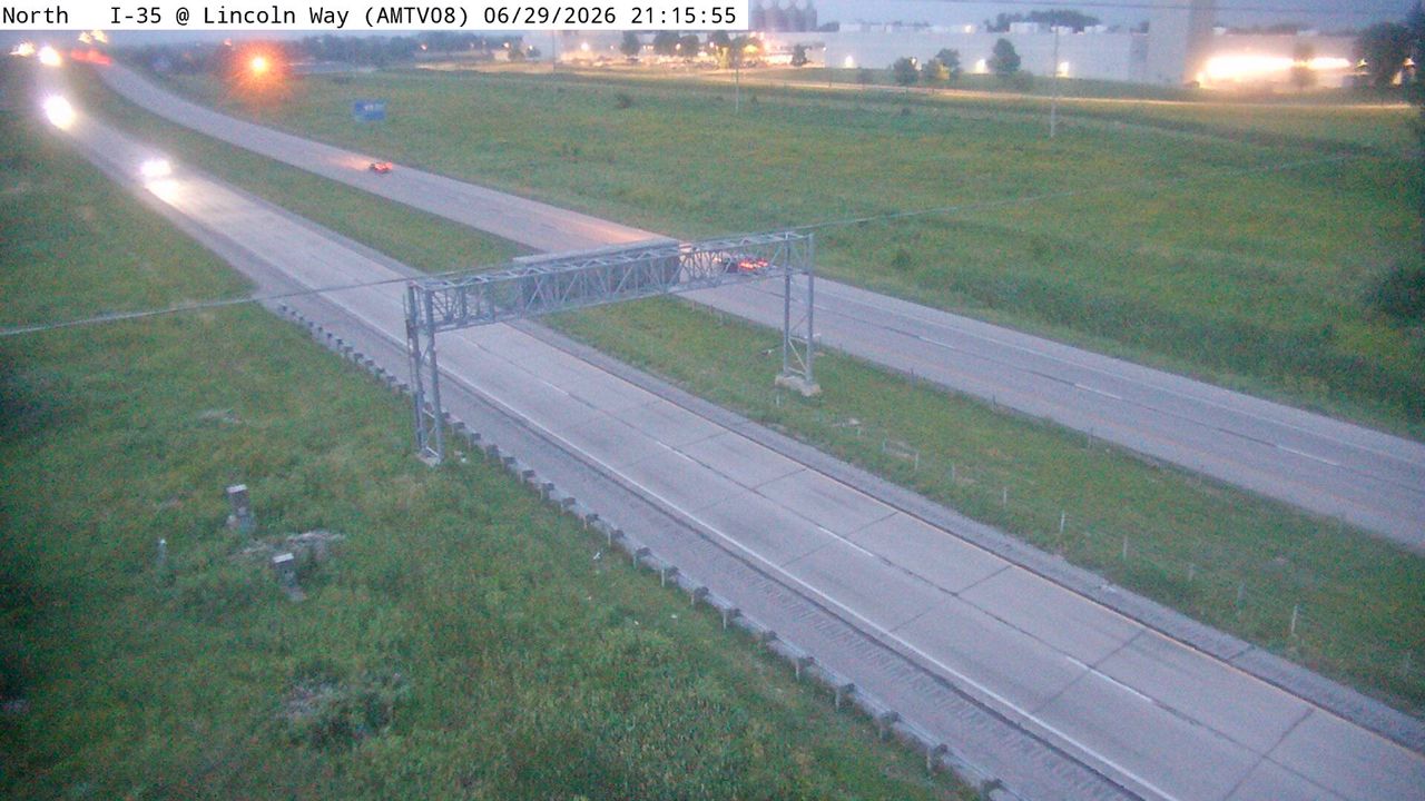 Not checked yetStill imageI-35 at MM 112.8 (E Lincoln Way), Ames/Boone/Nevada
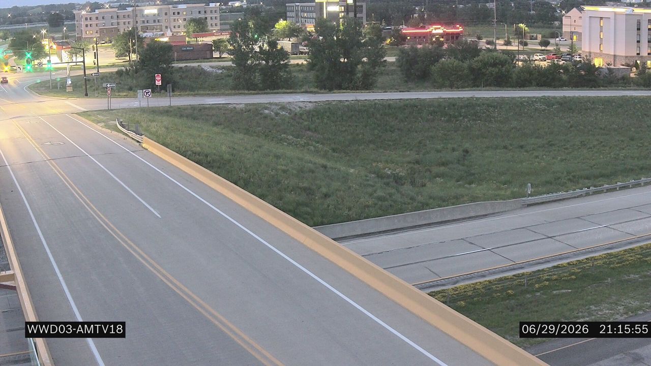 Not checked yetStill imageUS 30 at MM 149.7 (S Dayton Ave)
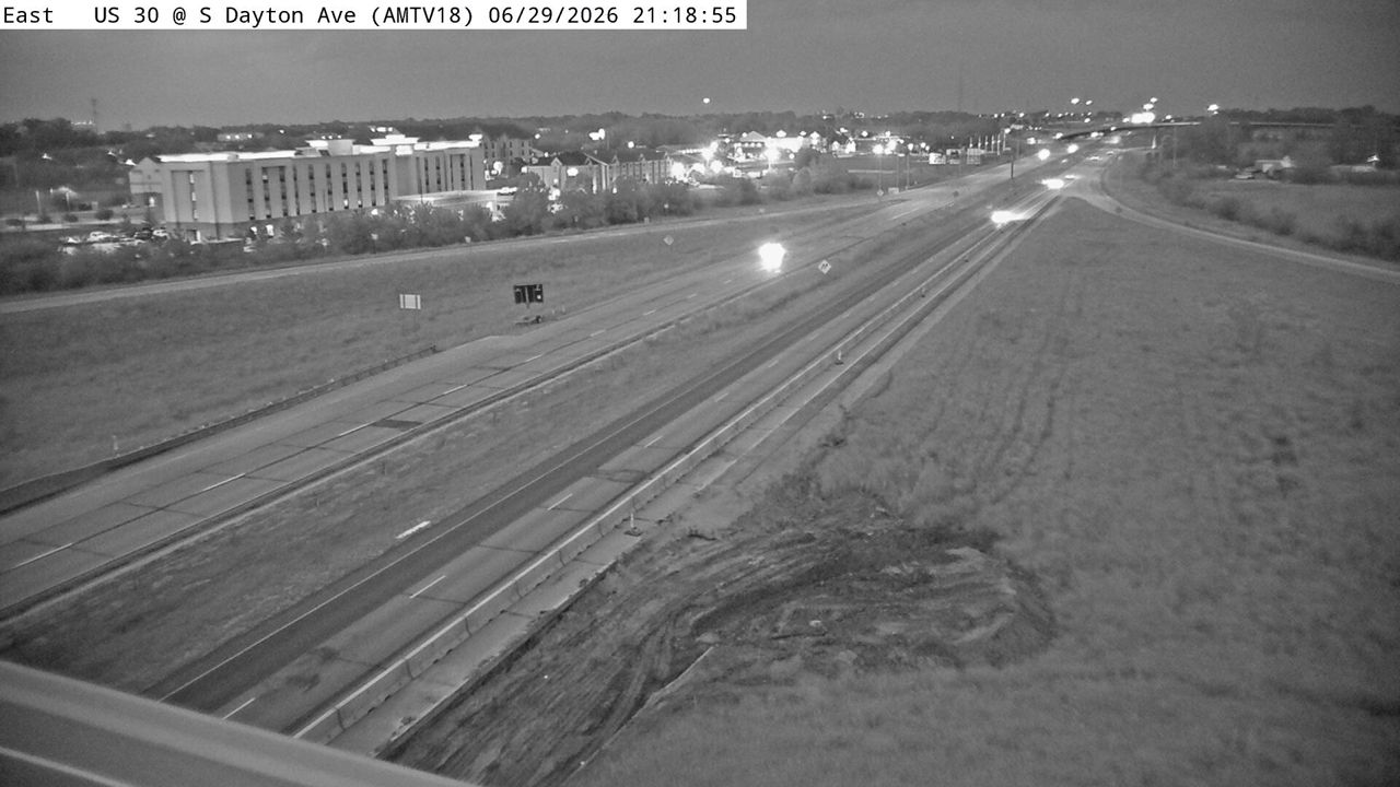 Not checked yetStill imageUS 30 at MM 149.7 (S Dayton Ave), Ames/Boone/Nevada
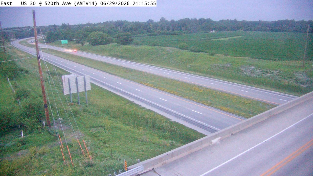 Not checked yetStill imageUS 30 at MM 145.9 (State Ave), Ames/Boone/Nevada
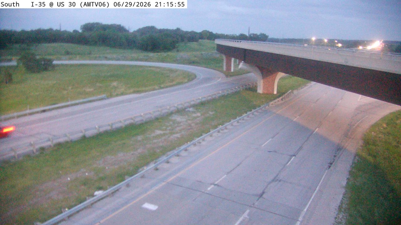 Not checked yetStill imageI-35 at MM 111.7 (US 30), Ames/Boone/Nevada
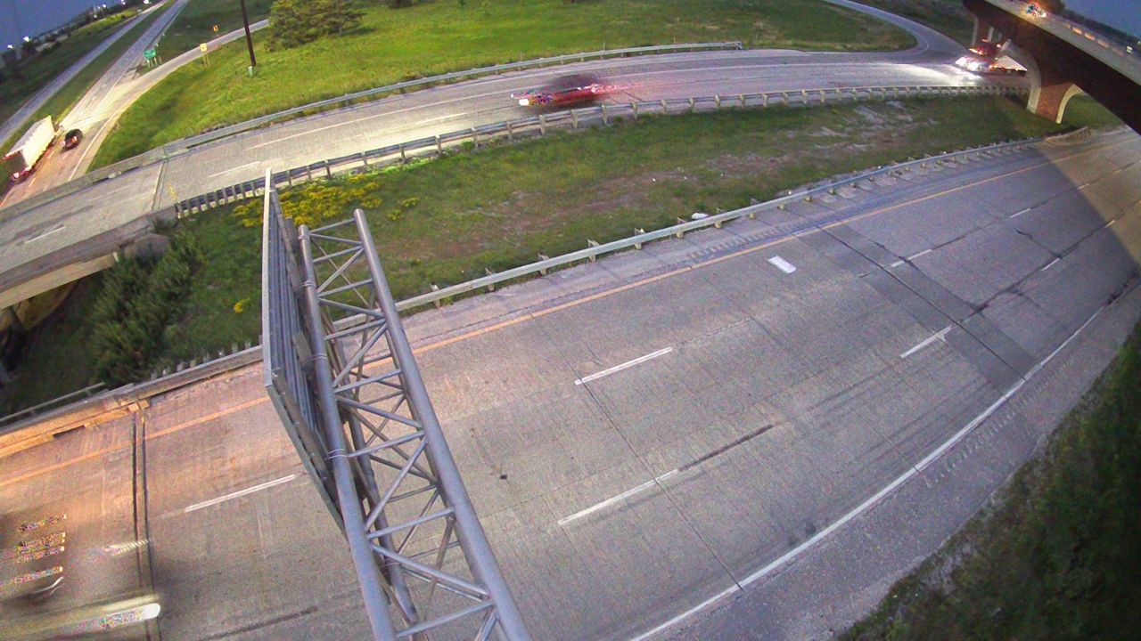 Not checked yetStill imageI-35 at MM 111.7 (US 30)-Q, Ames/Boone/Nevada
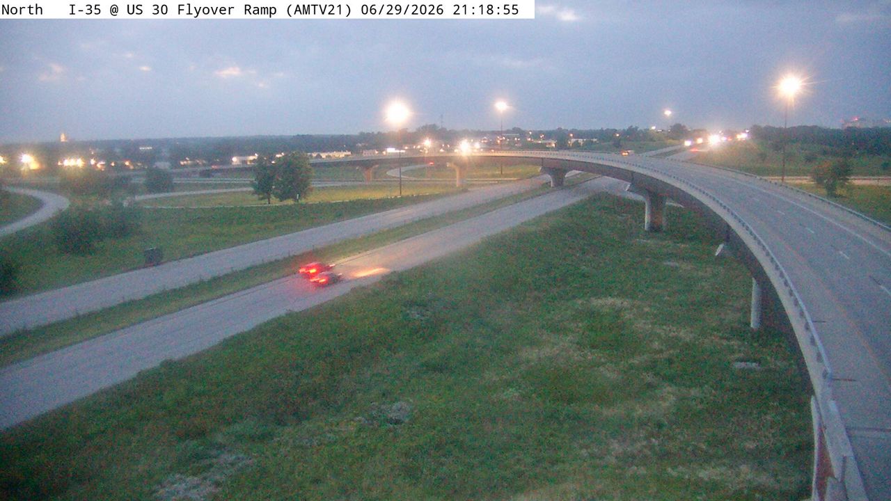 Not checked yetStill imageI-35 at MM 111.5 (US 30W Flyover), Ames/Boone/Nevada
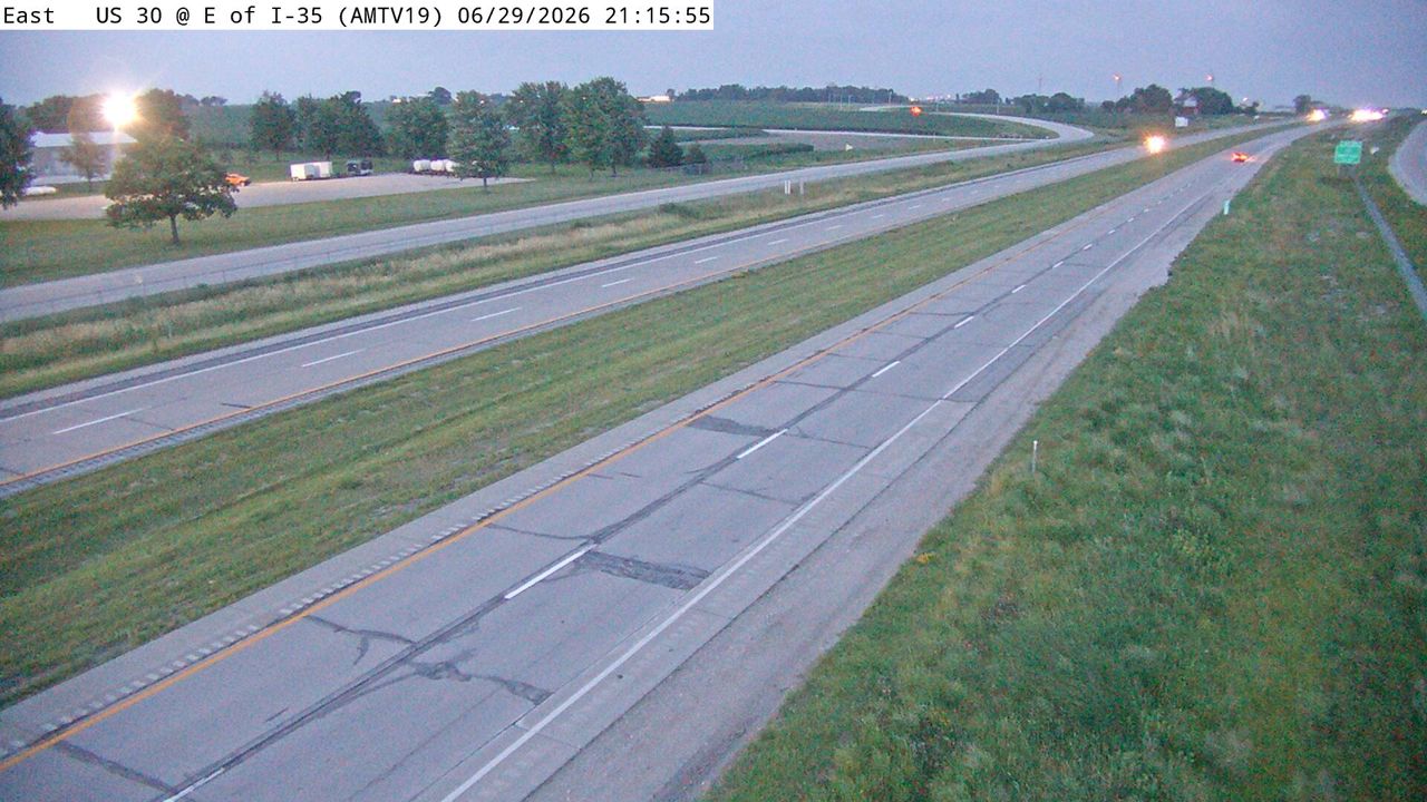 Not checked yetStill imageUS 30 at MM 151.1 (E of I-35), Ames/Boone/Nevada
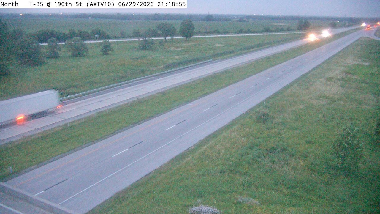 Not checked yetStill imageI-35 at MM 116.6 (E 190th St), Ames/Boone/Nevada
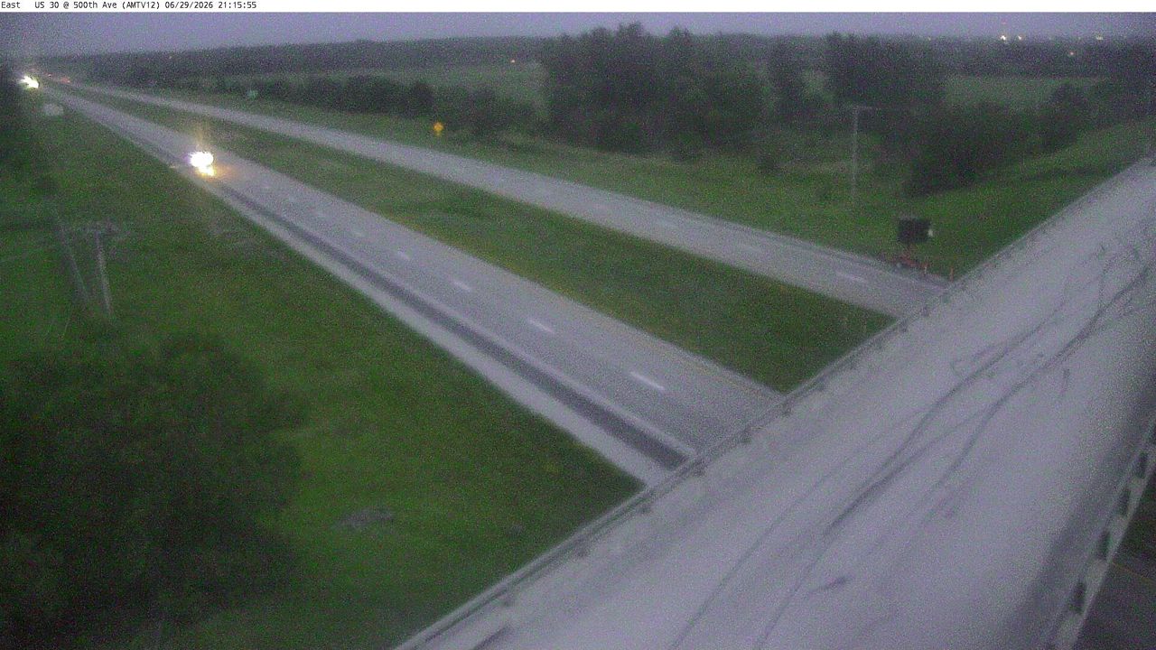 Not checked yetStill imageUS 30 at MM 143.8 (500th Ave), Ames/Boone/Nevada
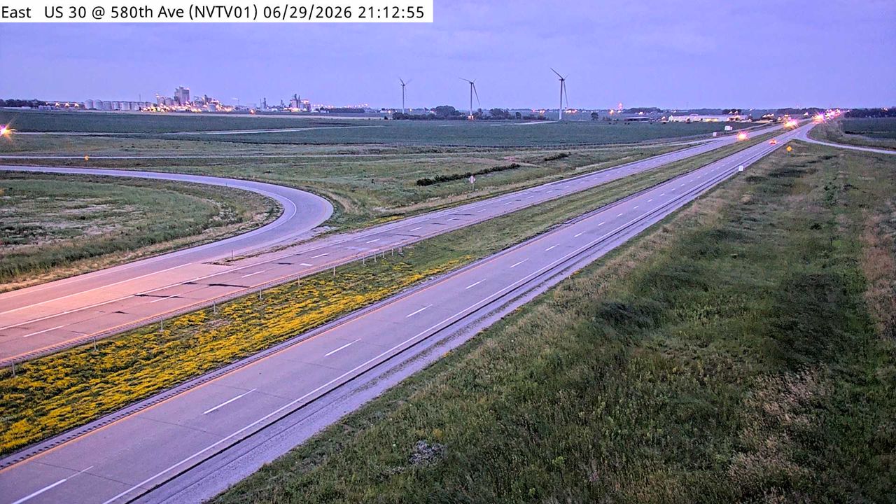 Not checked yetStill imageUS 30 at MM 152.1 (580th Ave), Ames/Boone/Nevada
 Not checked yetStill imageUS 30 at MM 152.8 (580th Ave)
 Not checked yetStill imageI-35 at MM 109.8 (260th St), Ames/Boone/Nevada
 Not checked yetStill imageI-35 at MM 109.2, Ames/Boone/Nevada
 Not checked yetStill imageUS 30 at MM 142.3 (W Lincoln Way), Ames/Boone/Nevada
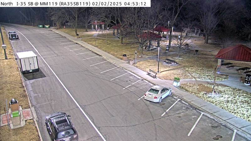 Not checked yetStill imageParking Only: I-35 SB MM 119 near Story City, car parking view
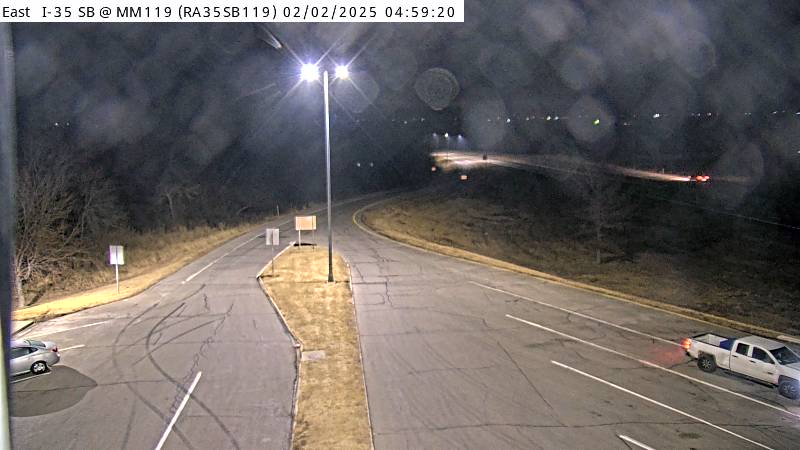 Not checked yetStill imageParking Only: I-35 SB MM 119 near Story City, entrance view
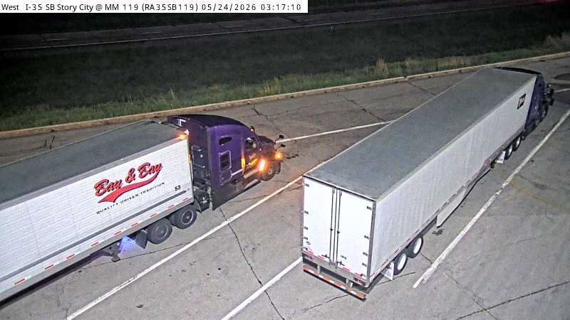 Not checked yetStill imageParking Only: I-35 SB MM 119 near Story City, exit view
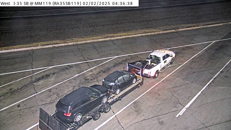 Not checked yetStill imageParking Only: I-35 SB MM 119 near Story City
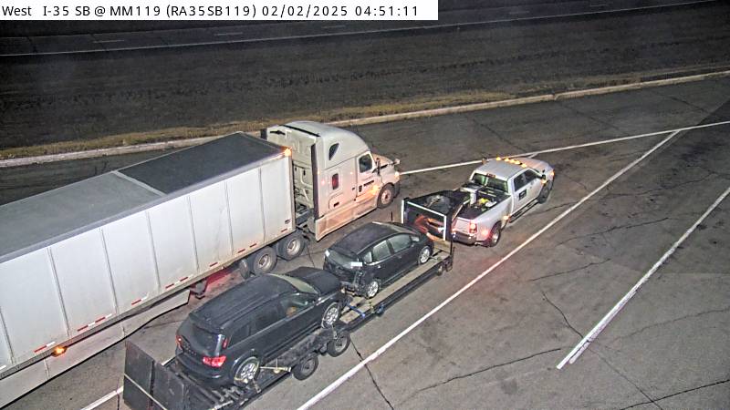 Not checked yetStill imageParking Only: I-35 SB MM 119 near Story City
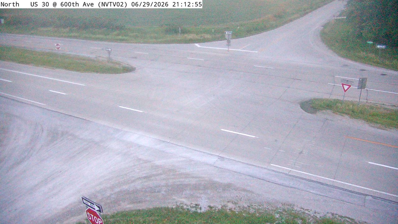 Not checked yetStill imageUS 30 at MM 154.1 (600th Ave), Ames/Boone/Nevada
 Not checked yetStill imageI-35 at MM 107.7, Ames/Boone/Nevada
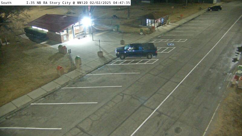 Not checked yetStill imageRest Area: I-35 NB MM 120 near Story City, car parking view
 Not checked yetStill imageRest Area: I-35 NB MM 120 near Story City, exit view
 Not checked yetStill imageRest Area: I-35 NB MM 120 near Story City, center view
 Not checked yetStill imageRest Area: I-35 NB MM 120 near Story City, entrance view
 Not checked yetStill imageRest Area: I-35 NB MM 120 near Story City, entry view
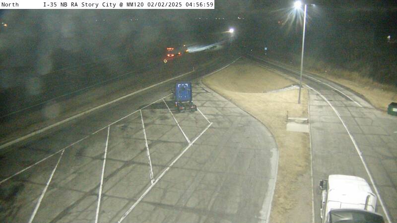 Not checked yetStill imageRest Area: I-35 NB MM 120 near Story City, exit view
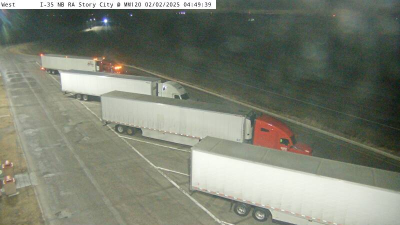 Not checked yetStill imageRest Area: I-35 NB MM 120 near Story City
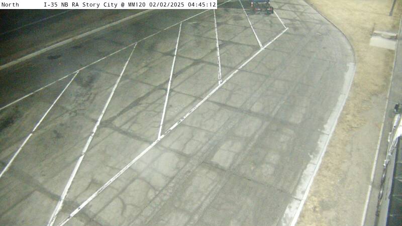 Not checked yetStill imageRest Area: I-35 NB MM 120 near Story City
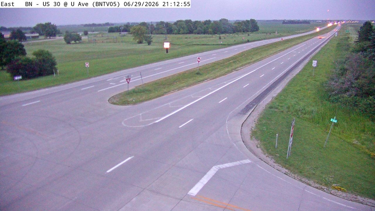 Not checked yetStill imageUS 30 at MM 139.6 (U Ave), Ames/Boone/Nevada
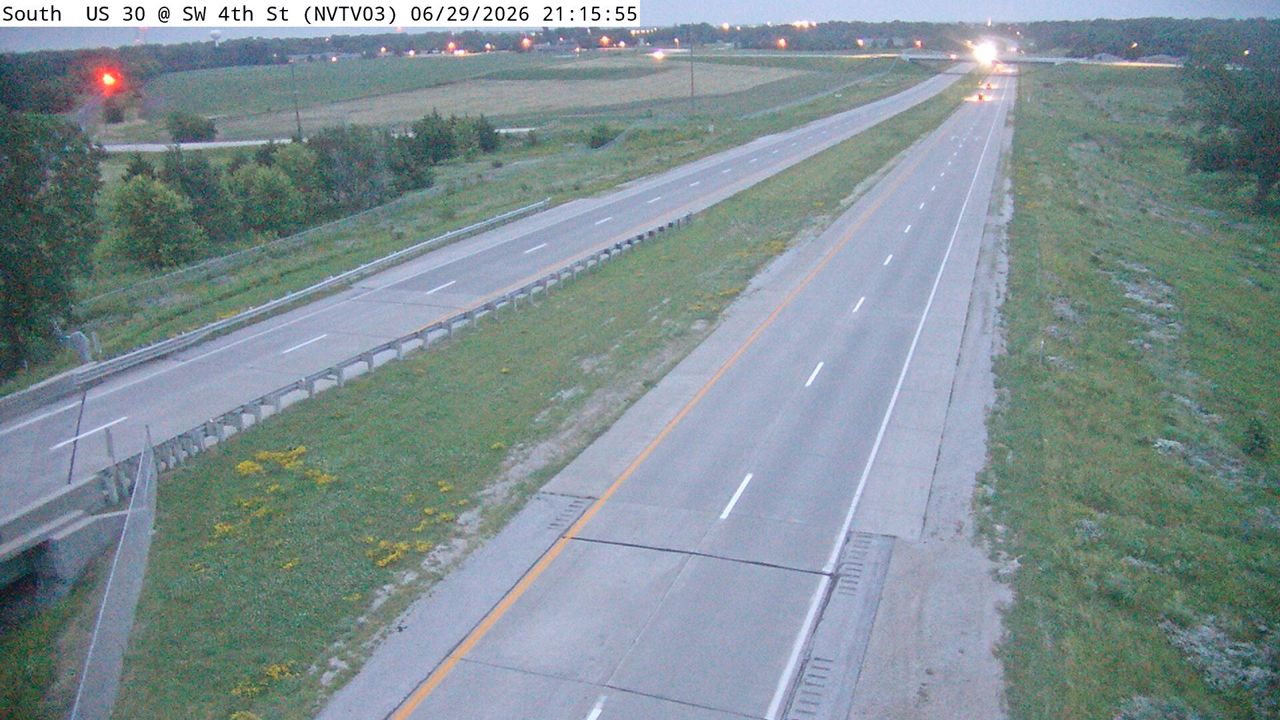 Not checked yetStill imageUS 30 at MM 156 (SW 4th St), Ames/Boone/Nevada
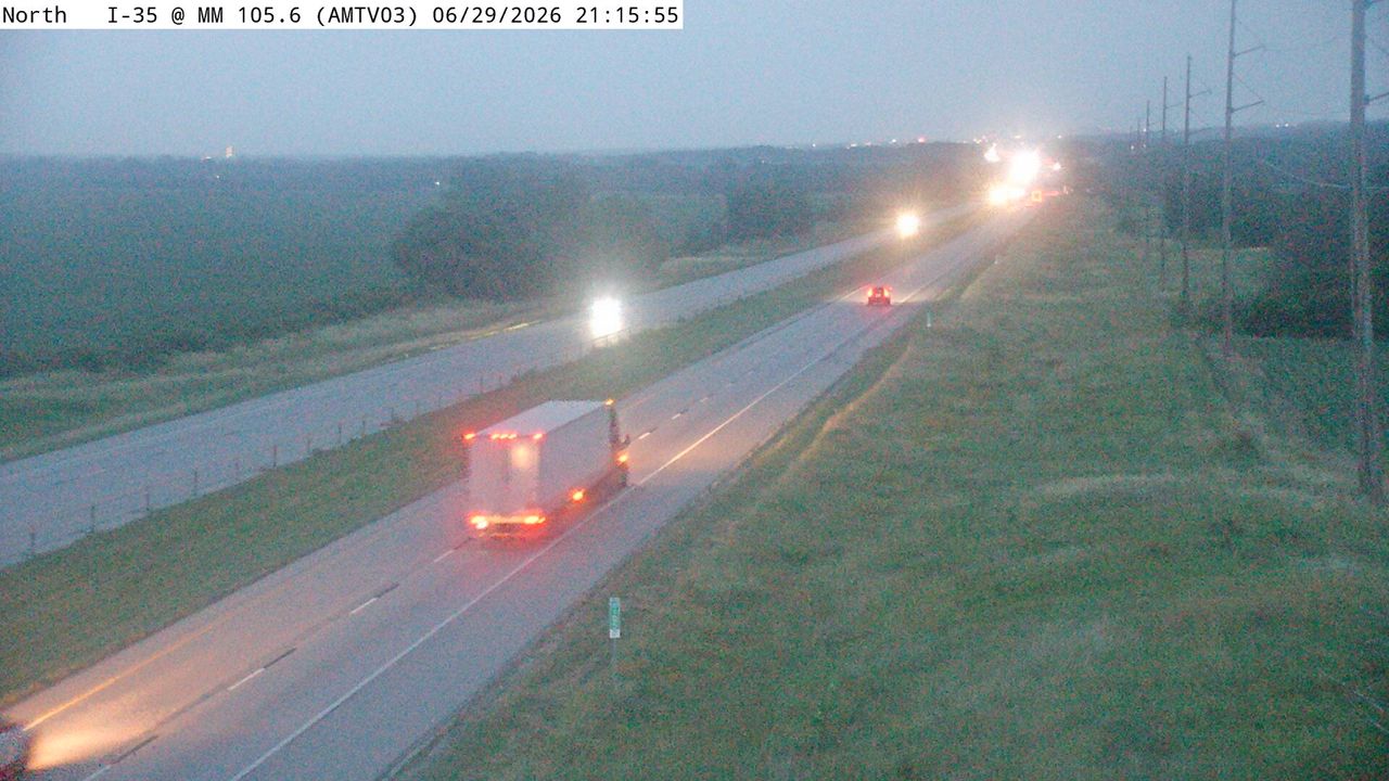 Not checked yetStill imageI-35 at MM 105.6, Ames/Boone/Nevada
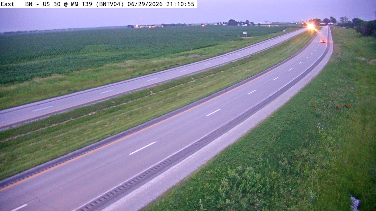 Not checked yetStill imageUS 30 at MM 138.7, Ames/Boone/Nevada
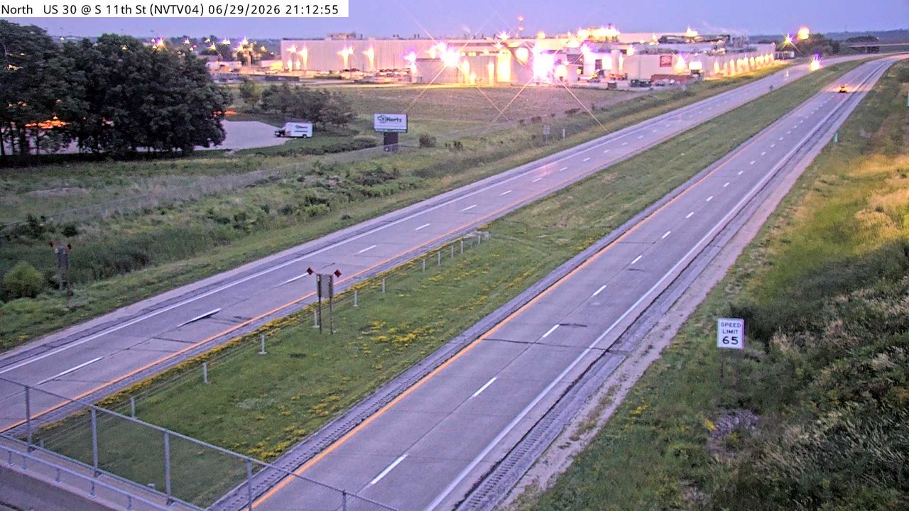 Not checked yetStill imageUS 30 at MM 157.1 (S 11th St), Ames/Boone/Nevada
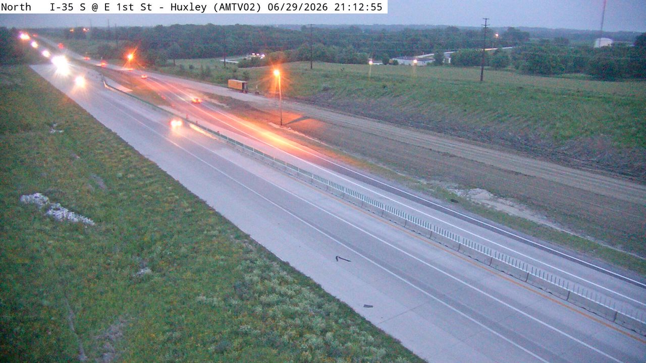 Not checked yetStill imageI-35 at MM 104.3 (E 1st St - Huxley), Ames/Boone/Nevada
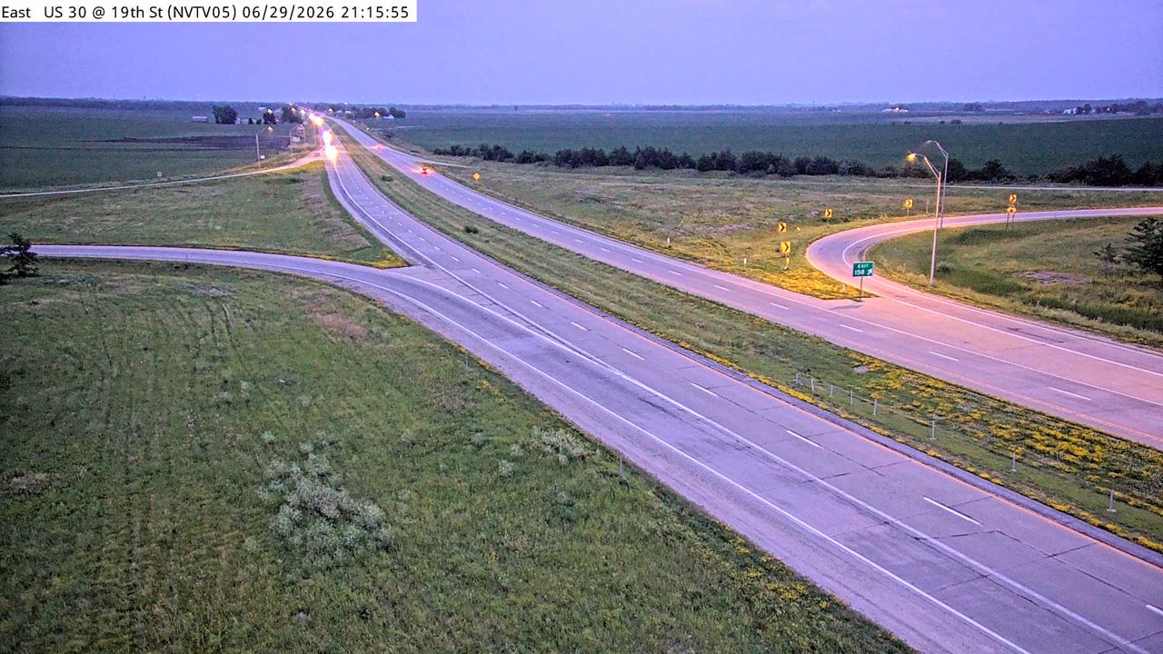 Not checked yetStill imageUS 30 at MM 157.6 (19th St), Ames/Boone/Nevada
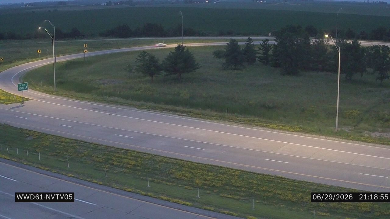 Not checked yetStill imageUS 30 at MM 157.6 (S 19th St)
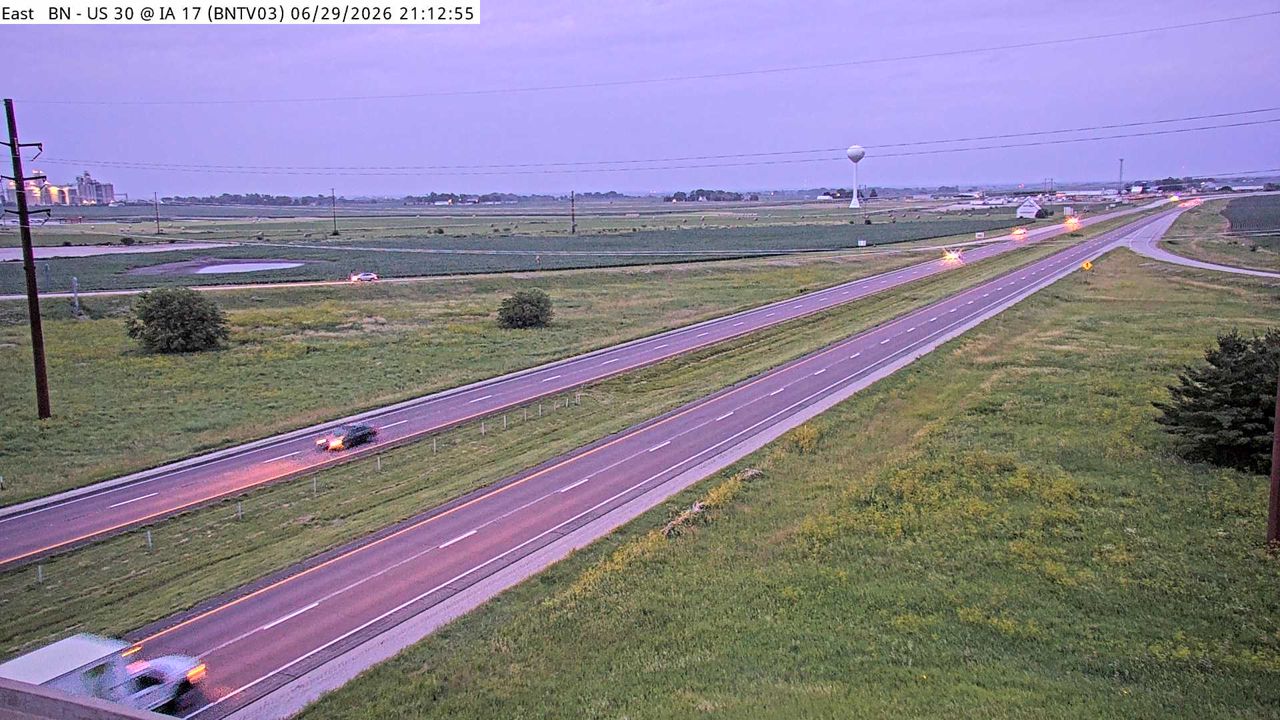 Not checked yetStill imageUS 30 at MM 137.3 (IA 17), Ames/Boone/Nevada
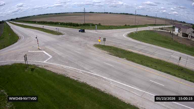 Not checked yetStill imageUS 30 at S27 near Nevada (49)
 Not checked yetStill imageUS 30 at MM 135.6 (Quill Ave)
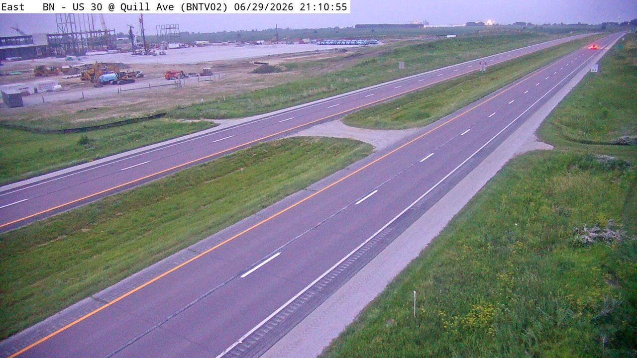 Not checked yetStill imageUS 30 at MM 135.5 (Quill Ave), Ames/Boone/Nevada
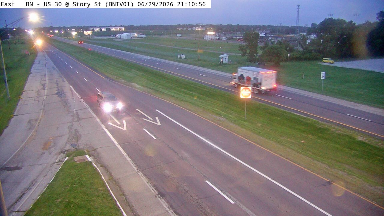 Not checked yetStill imageUS 30 at MM 134 (Story St), Ames/Boone/Nevada
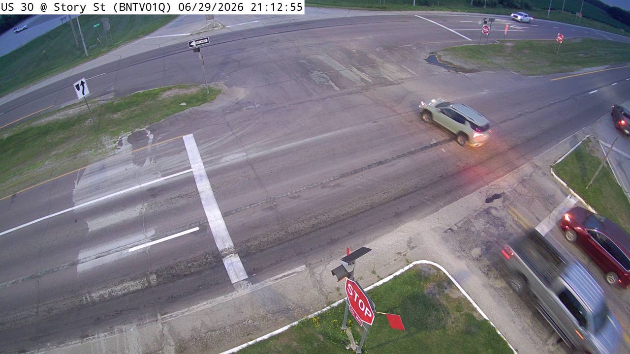 Not checked yetStill imageUS 30 at MM 134 (Story St)-Q, Ames/Boone/Nevada
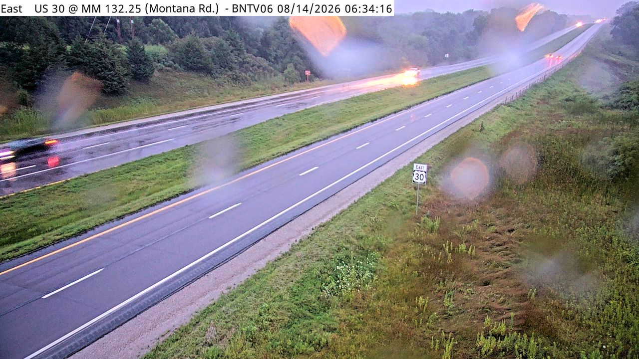 Not checked yetStill imageUS 30 at Montana Rd (06), Ames/Boone/Nevada
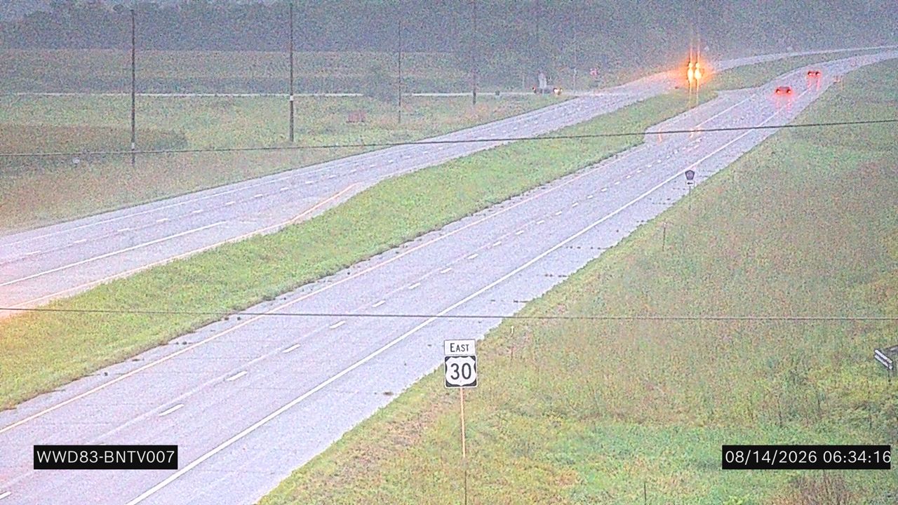 Not checked yetStill imageUS 30 at MM 132.2 (Montana Rd.)
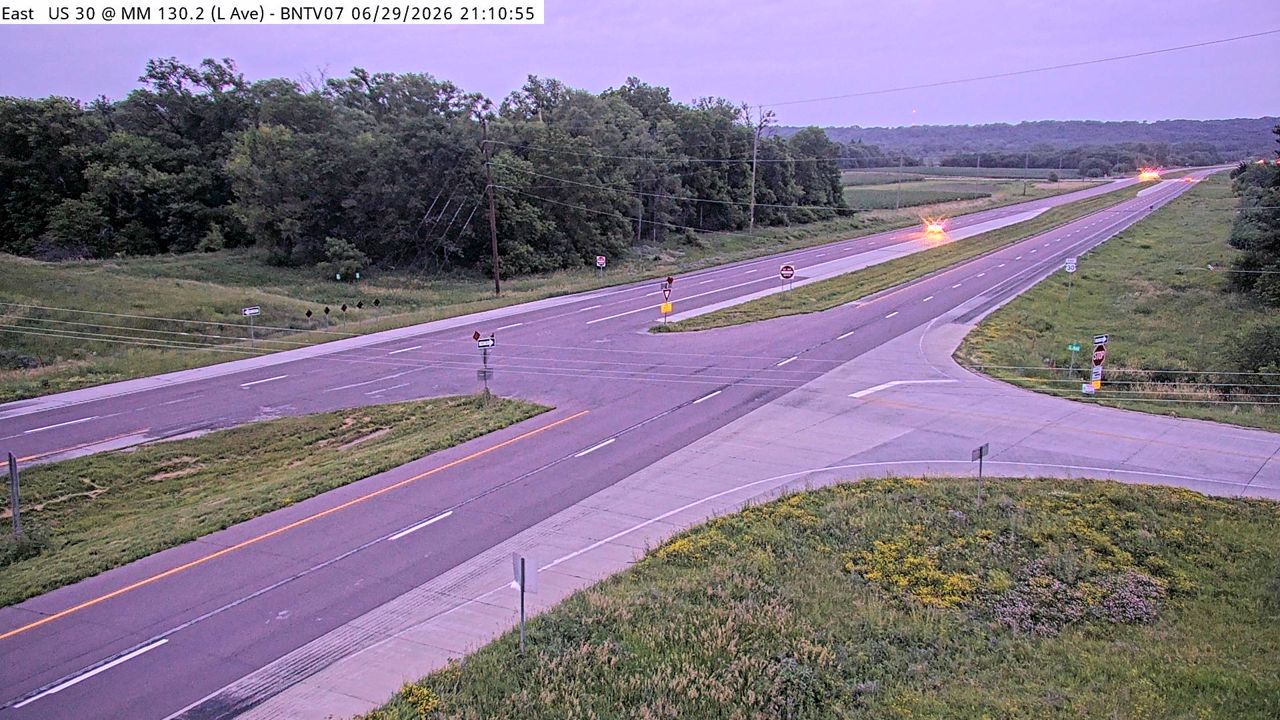 Not checked yetStill imageUS 30 at MM 130.3 (L Ave), Ames/Boone/Nevada
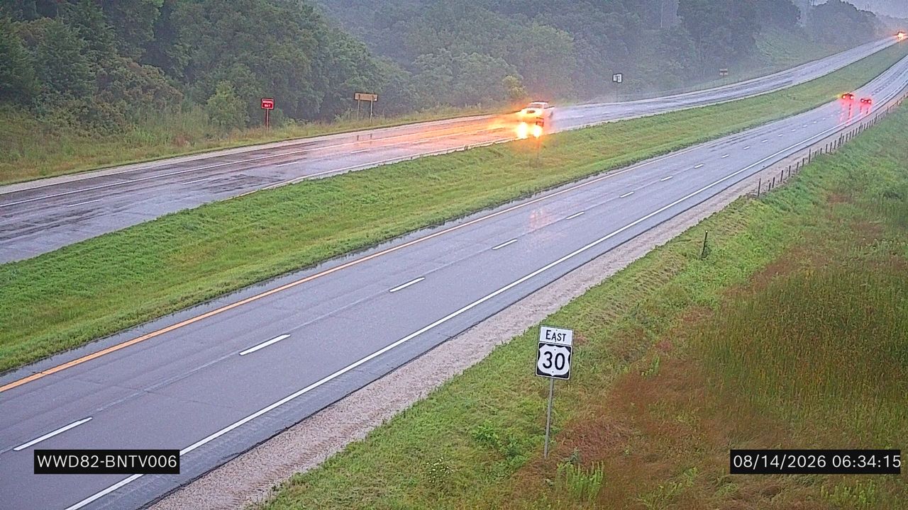 Not checked yetStill imageUS 30 at MM 130.2 (L Ave.)
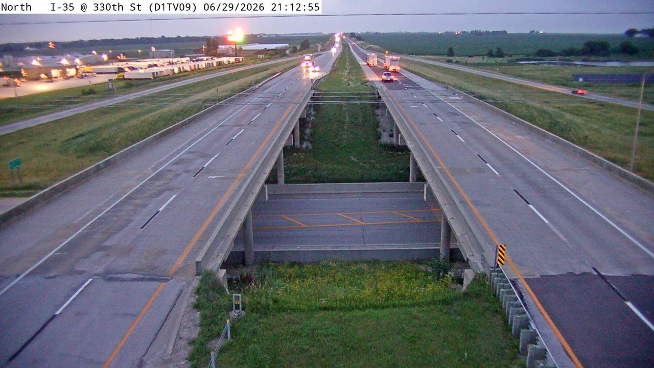 Not checked yetStill imageI-35 at MM 132.9 (IA 175 Ellsworth)
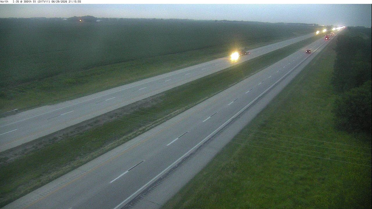 Not checked yetStill imageI-35 at MM 136 (300th St)
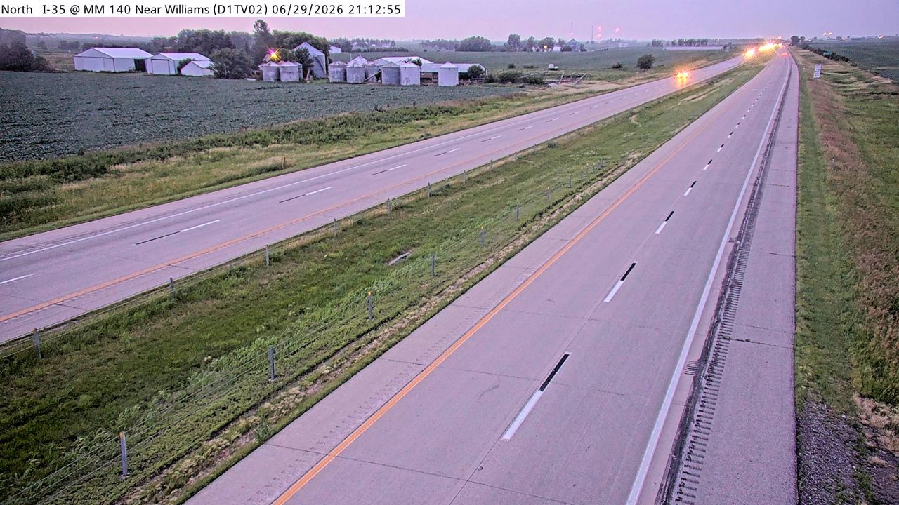 Not checked yetStill imageI-35 at MM 139.9 (S of US 20)
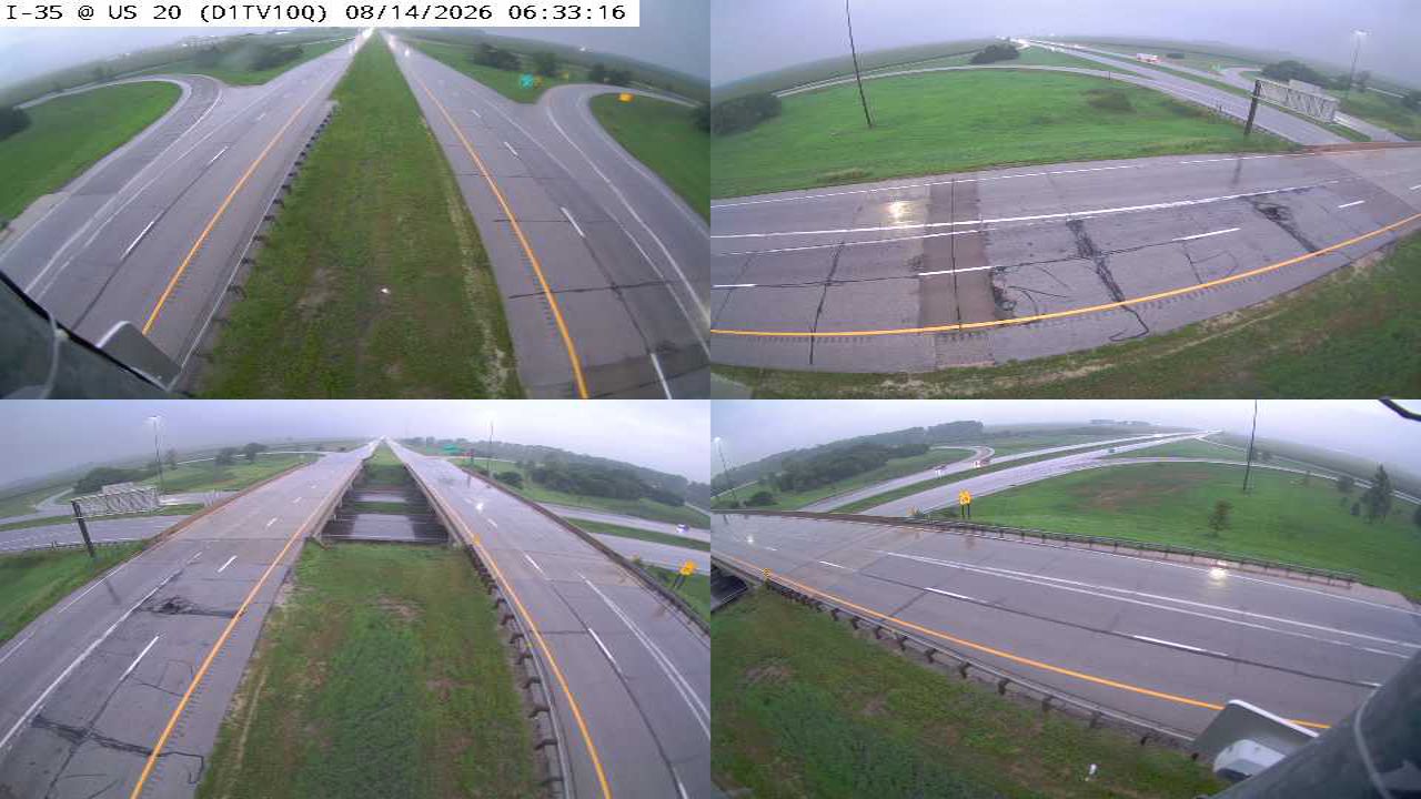 Not checked yetStill imageI-35 at MM 142.5 (US 20)-Q
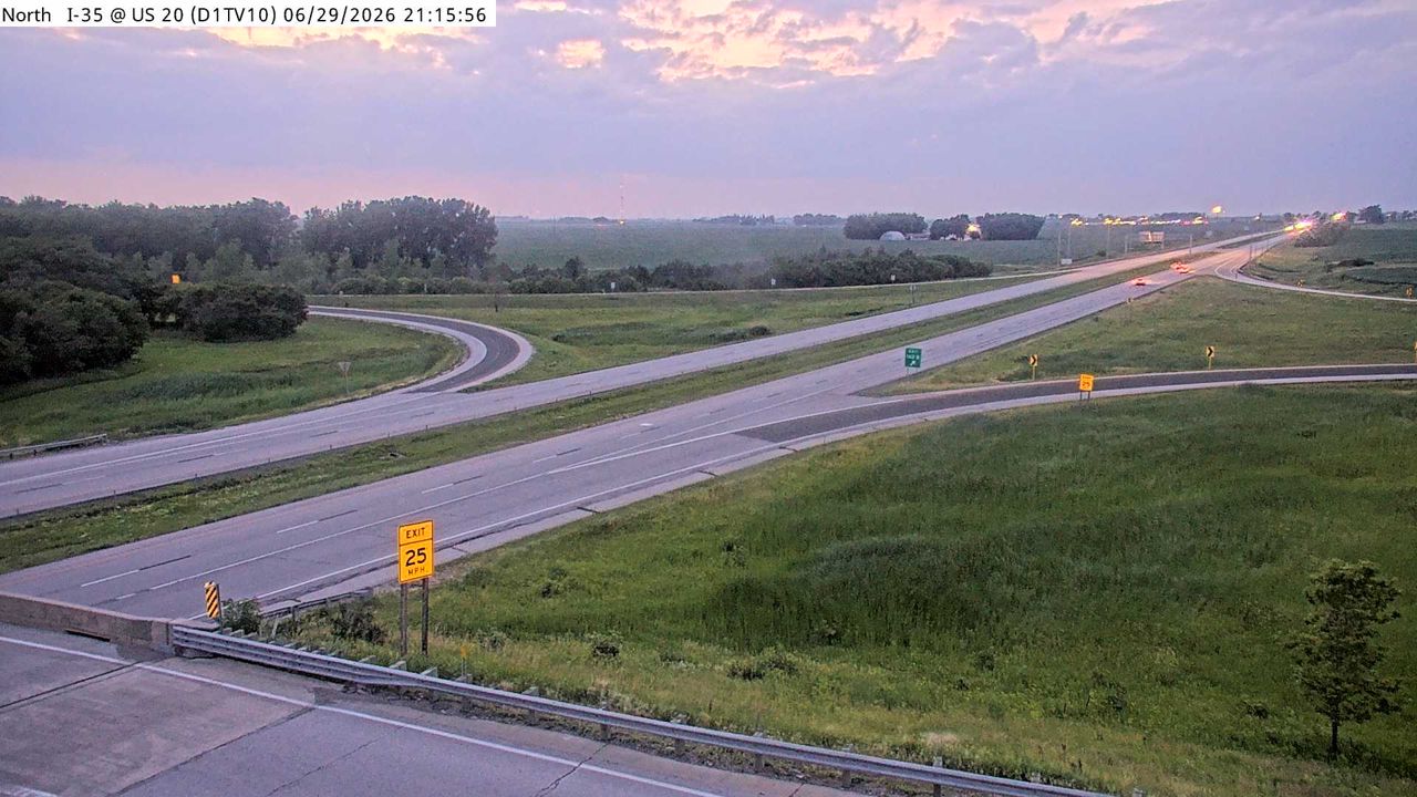 Not checked yetStill imageI-35 at MM 142.5 (US 20)
No live video among these cameras. Turn off "Live video only" to see them all.
Best cams to watch
- US 30 at MM 146.7 (W of University Blvd), Ames/Boone/Nevada — Still image · every 5 min, working 100 % of the time in the last 30 days.
- I-35 at MM 112 (N of US 30), Ames/Boone/Nevada — Still image · every 5 min, working 100 % of the time in the last 30 days.
- US 30 at MM 144.9 (S Dakota Ave), Ames/Boone/Nevada — Still image · every 5 min, working 100 % of the time in the last 30 days.
Ames is a college city in central Iowa, about thirty miles north of Des Moines in Story County. Its 2020 census population was about 66,400, and Iowa State University shapes almost everything here, with around thirty thousand students in recent years. The South Skunk River and Ioway Creek wind through town, and the Union Pacific main line crosses it east to west. Ames is also a government research hub: the USDA's National Animal Disease Center, the Ames National Laboratory and the headquarters of the Iowa Department of Transportation are all based here.
That last point fits this page well, because the cameras listed for Ames come from Iowa DOT itself. They watch the main roads through and around the city: Interstate 35, the north–south route between Des Moines and Minneapolis on the east edge of town, and US 30, the east–west expressway along the south side, along with US 69. Part of the set are road-weather cameras placed at weather stations so the state can see pavement conditions in snow or ice. The images are stills that refresh every few minutes.
Central Time applies. The sharpest contrasts come in winter, when open farmland on all sides lets wind carry snow over I-35 and US 30, and the road-weather views show whether plows have caught up. On fall Saturdays when Iowa State plays at home in Jack Trice Stadium, traffic around the south side of town builds well before kickoff and again after the game. Late spring and summer bring long evenings and fast-moving thunderstorms across the plains. Graduation weekends and move-in week in August are also busier than usual.
If you visit, Reiman Gardens sits next to the stadium on the south edge of campus, and the central campus lawn with its old Campanile is a classic Iowa State sight. Cameras along I-35 toward Ankeny and Des Moines show up within the wider radius of this page.
Sources: Ames, Iowa — Wikipedia · Iowa 511 — Iowa Department of Transportation.
Nearby places
- Cedar Rapids (104)
- Des Moines (103)
- Council Bluffs (101)
- West Des Moines (95)
- Pekin (93)
- Ankeny (80)
- Galesburg (77)
- Omaha (63)
Questions about Ames
How many cameras does LiveLocation have in Ames?
LiveLocation lists 63 cameras in and around Ames, United States: 0 live video, 63 still images. 4 of them were live or showing a fresh image at the last check.
Where do the Ames cameras come from?
All of them come from Iowa DOT (63). Each camera plays straight from the agency or owner that runs it, with credit. Iowa DOT
What kinds of views are there in Ames?
The views are traffic and highway (62) and pass and road weather (1). Good ones to start with: US 30 at MM 146.7 (W of University Blvd), Ames/Boone/Nevada and I-35 at MM 112 (N of US 30), Ames/Boone/Nevada. US 30 at MM 146.7 (W of University Blvd), Ames/Boone/Nevada I-35 at MM 112 (N of US 30), Ames/Boone/Nevada
Is there live video from Ames?
Not yet: the cameras here send still images that refresh about every 5 minutes. The map can show only live-video cameras nearby. Live video on the map
When is the best time to watch the Ames cameras?
Ames is on America/Chicago time. On October 8 the sun rises at 7:19 AM and sets at 6:44 PM, so still images are clearest between those times. Road cameras show the most traffic in the weekday morning and evening rush hours.
Are there live cameras near Ames?
The nearest are Ankeny (21 mi away, 80 cameras), Johnston (25 mi away, 15 cameras) and Altoona (28 mi away, 30 cameras). Ankeny Johnston Altoona
Is there a map of the cameras in Ames?
The map at the top of this page shows all 63 of them. The live camera radar centers on Ames and lists every camera within 5 to 250 miles, nearest first, with filters for live video, traffic, nature and more. Open the radar on Ames
Place names and locations: GeoNames, licensed under CC BY 4.0.