Live cameras in Cedar Rapids, United States
104 cameras: 0 live video, 104 still images · 10 working now · updated Oct 8, 03:34 UTC
Cedar Rapids has 104 live cameras on LiveLocation right now: 0 live video, 104 still images. Good places to start: IA 100 at MM 9.8 (Council St), Cedar Rapids, I-380 at MM 23.9 (Collins Rd - N), Cedar Rapids, IA 100 at MM 7.6 (Edgewood EB Ramp). Local time is 10:34 PM (America/Chicago). Today the sun rises at 7:10 AM and sets at 6:38 PM.
Cedar Rapids live cameras
Watch Cedar Rapids live webcams: 0 live video, 104 still images. 10 were working at the last check. Cedar Rapids is home to about 130,000 people.
Weather now in Cedar Rapids: 57 °F (14 °C), mostly clear, wind 4 mph (7 km/h) from the west. Forecast for 11 PM local time. Weather: MET Norway (CC BY 4.0)
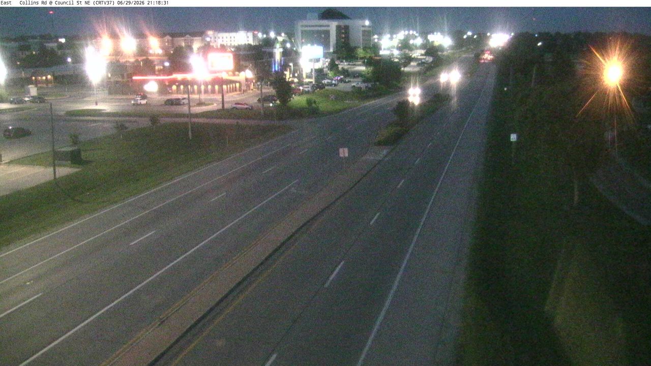 WorkingStill imageIA 100 at MM 9.8 (Council St), Cedar Rapids
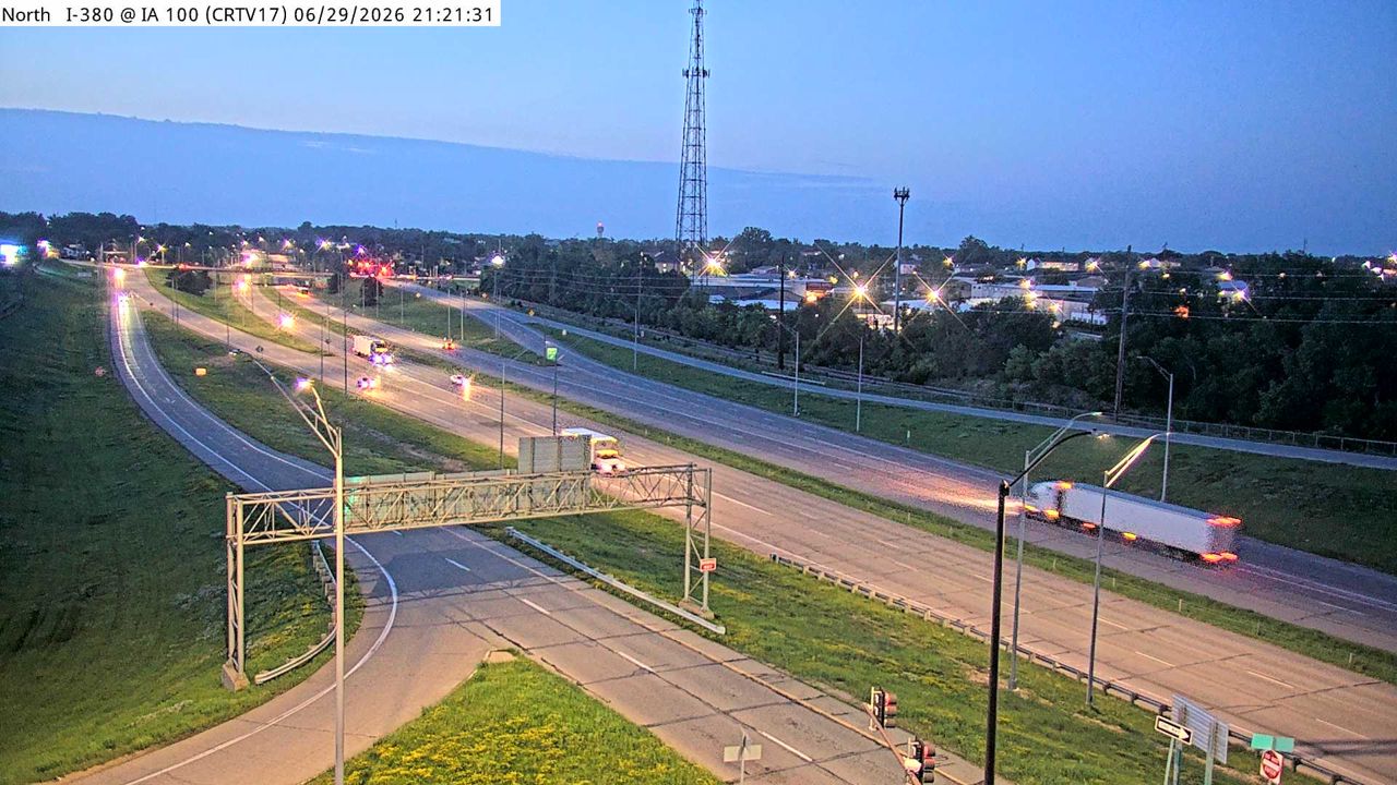 WorkingStill imageI-380 at MM 23.9 (Collins Rd - N), Cedar Rapids
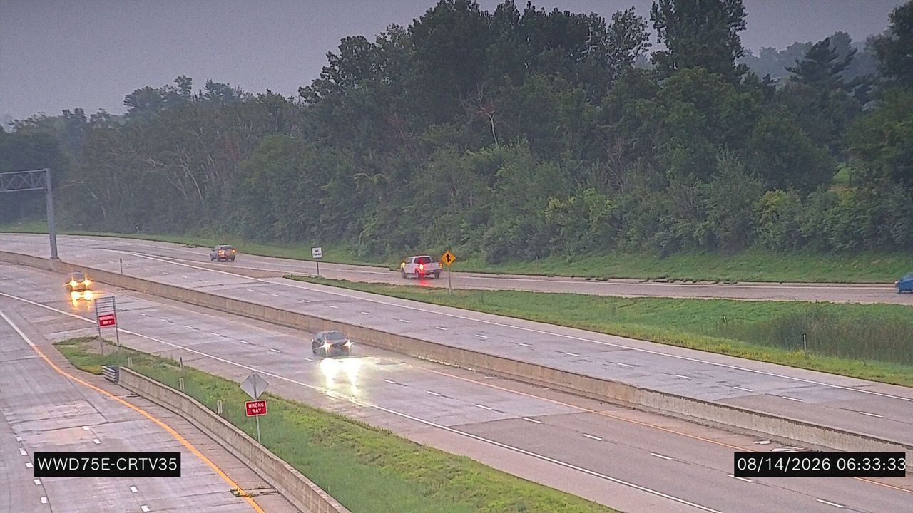 WorkingStill imageIA 100 at MM 7.6 (Edgewood EB Ramp)
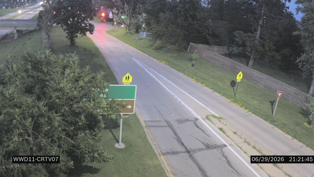 WorkingStill imageI-380 at MM 18.3 (Wilson Ave)
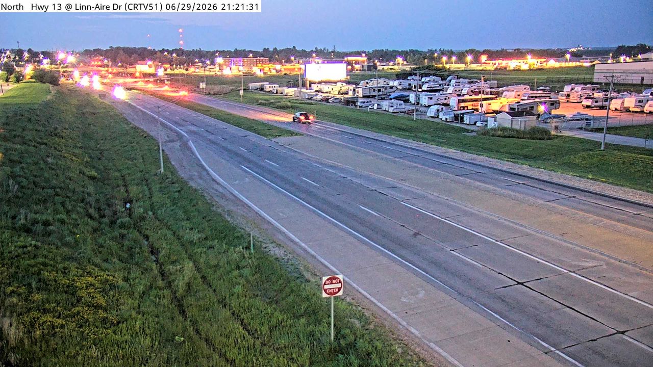 WorkingStill imageUS 151 at MM 36.7 (Linn Aire Dr), Cedar Rapids
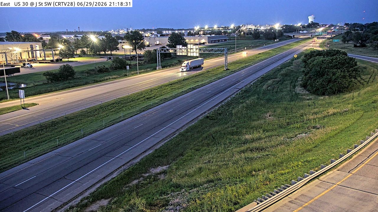 WorkingStill imageUS 30 at MM 250.4 (J St SW), Cedar Rapids
 WorkingStill imageUS 30 MM 252 at Cedar Rapids US 30
 WorkingStill imageUS 30 MM 252 at Cedar Rapids US 30
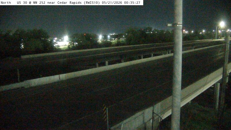 WorkingStill imageUS 30 MM 252 at Cedar Rapids US 30, view 2
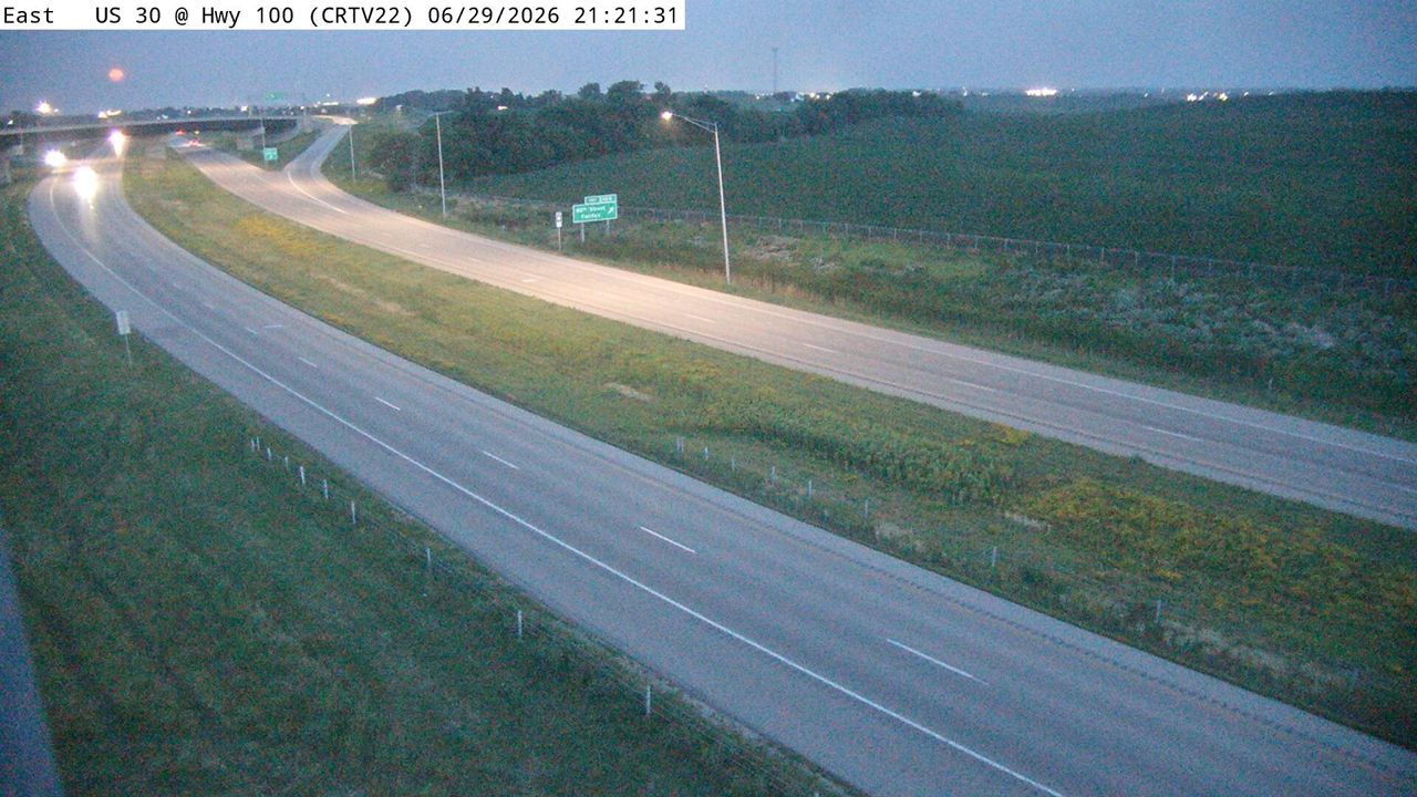 WorkingStill imageUS 30 at MM 243.7 (16th Ave SW), Cedar Rapids
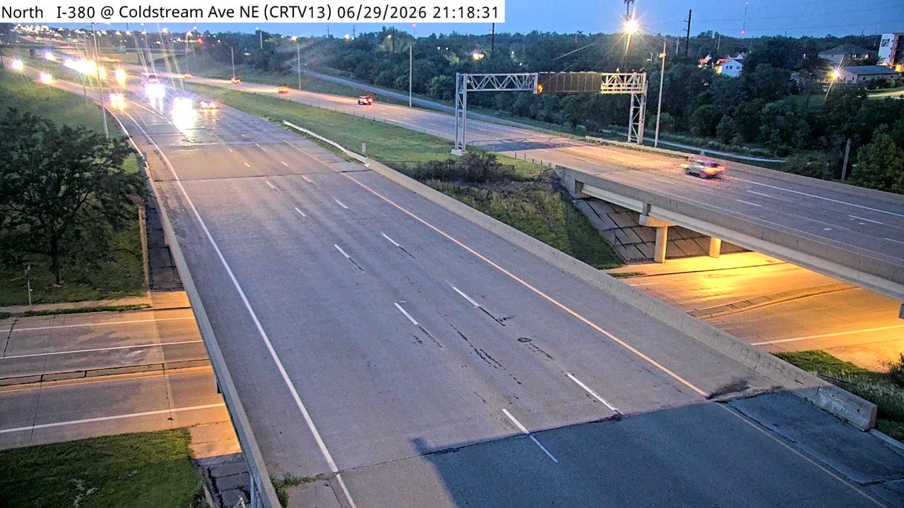 Not checked yetStill imageI-380 at MM 22.3 (Coldstream Ave NE), Cedar Rapids
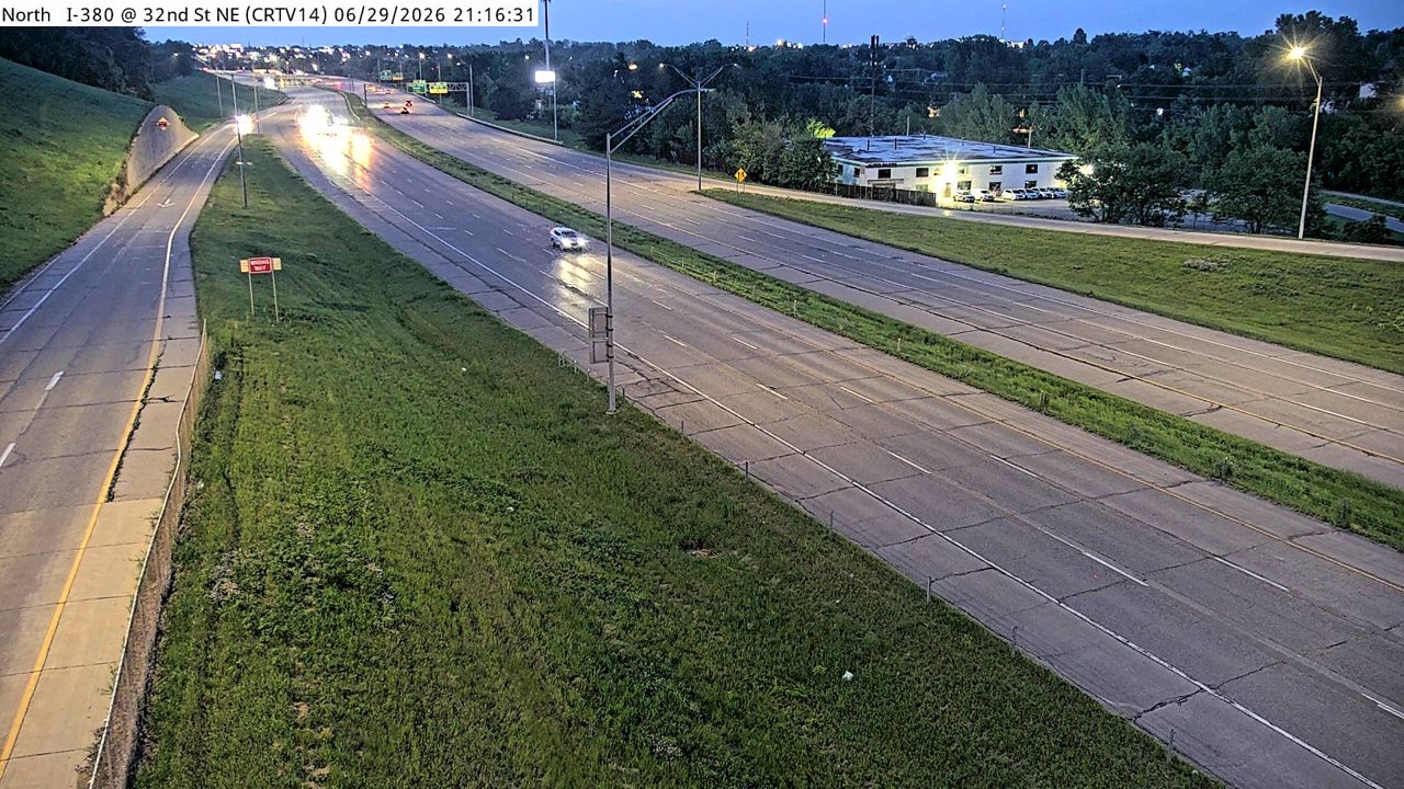 Not checked yetStill imageI-380 at MM 22.7 (32nd St NE), Cedar Rapids
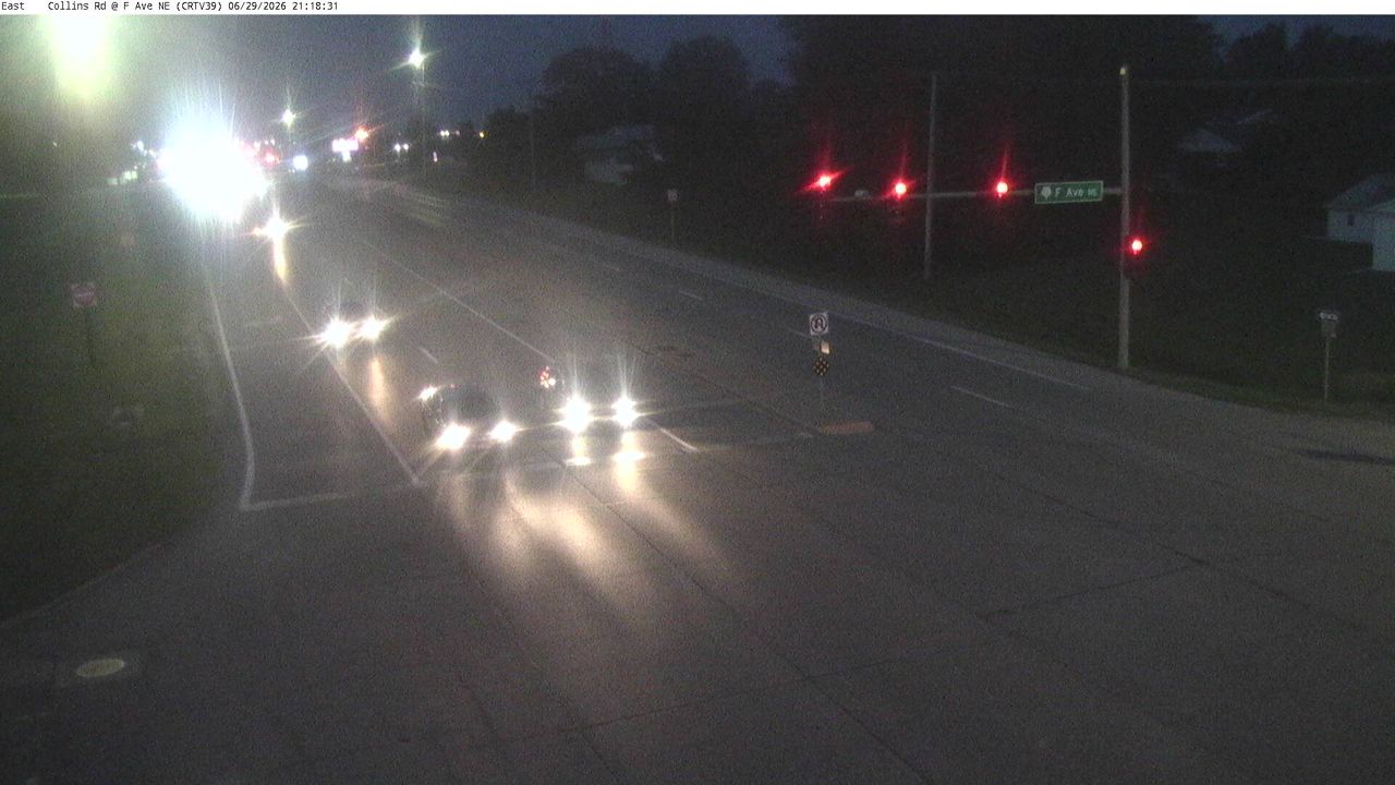 Not checked yetStill imageIA 100 at MM 10.5 (F Ave), Cedar Rapids
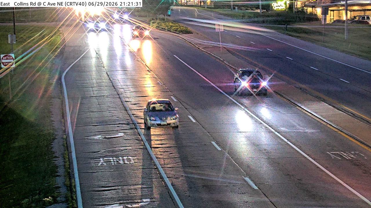 Not checked yetStill imageIA 100 at MM 10.8 (Co Rd W56), Cedar Rapids
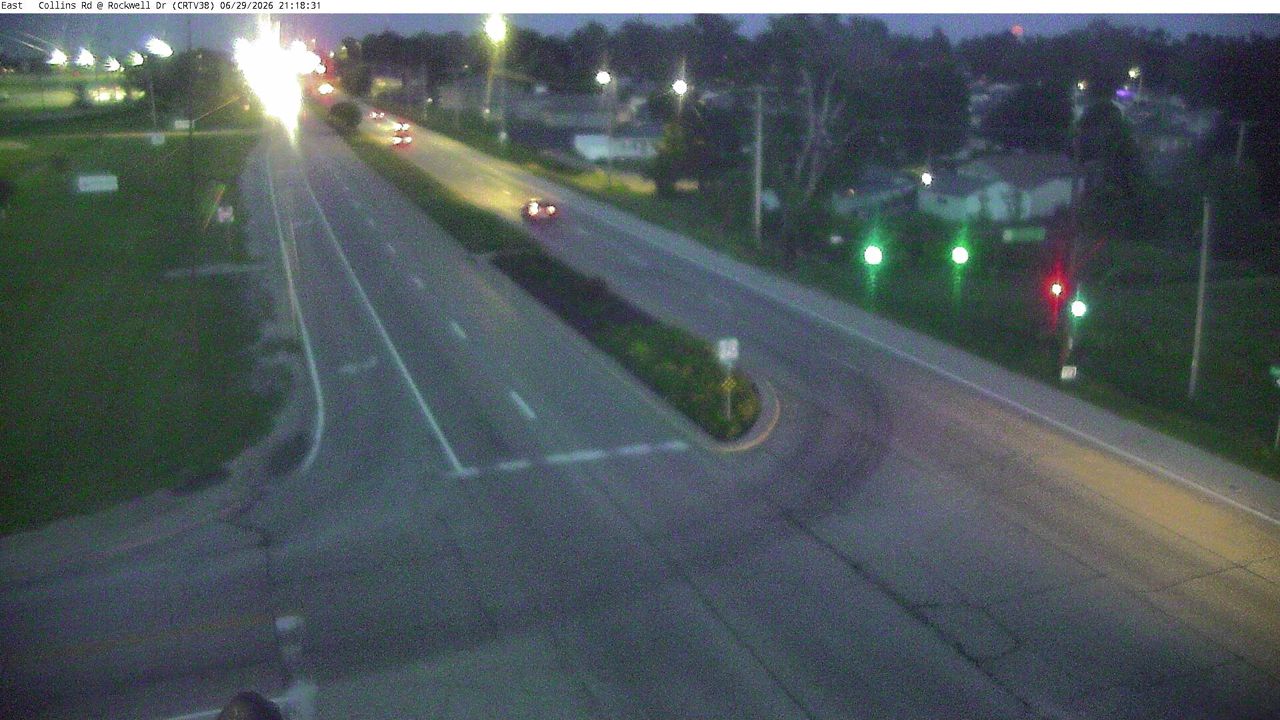 Not checked yetStill imageIA 100 at MM 10.1 (Rockwell Dr), Cedar Rapids
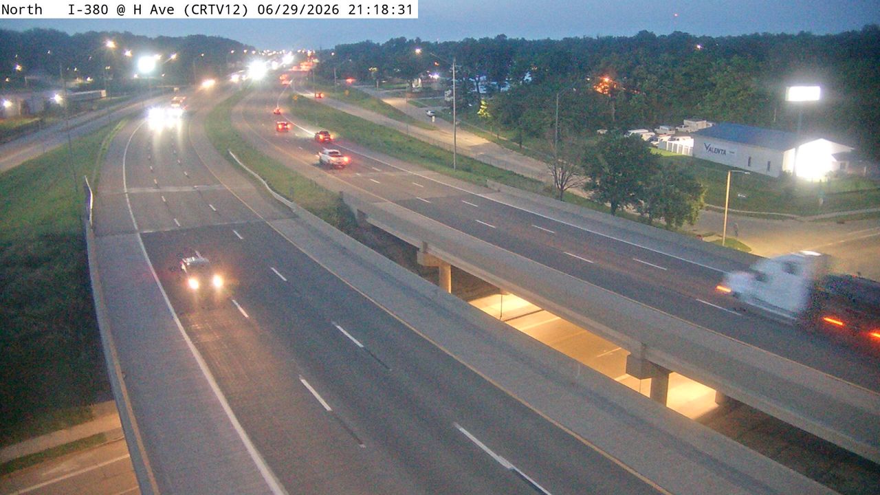 Not checked yetStill imageI-380 at MM 21.6 (H Ave NE), Cedar Rapids
 Not checked yetStill imageIA 100 at MM 12.5 (Tama St), Cedar Rapids
 Not checked yetStill imageI-380 at MM 23.4 (42nd St NE), Cedar Rapids
 Not checked yetStill imageIA 100 at MM 11.7 (Bus 151), Cedar Rapids
 Not checked yetStill imageIA 100 at MM 13.1 (Menards Ln), Cedar Rapids
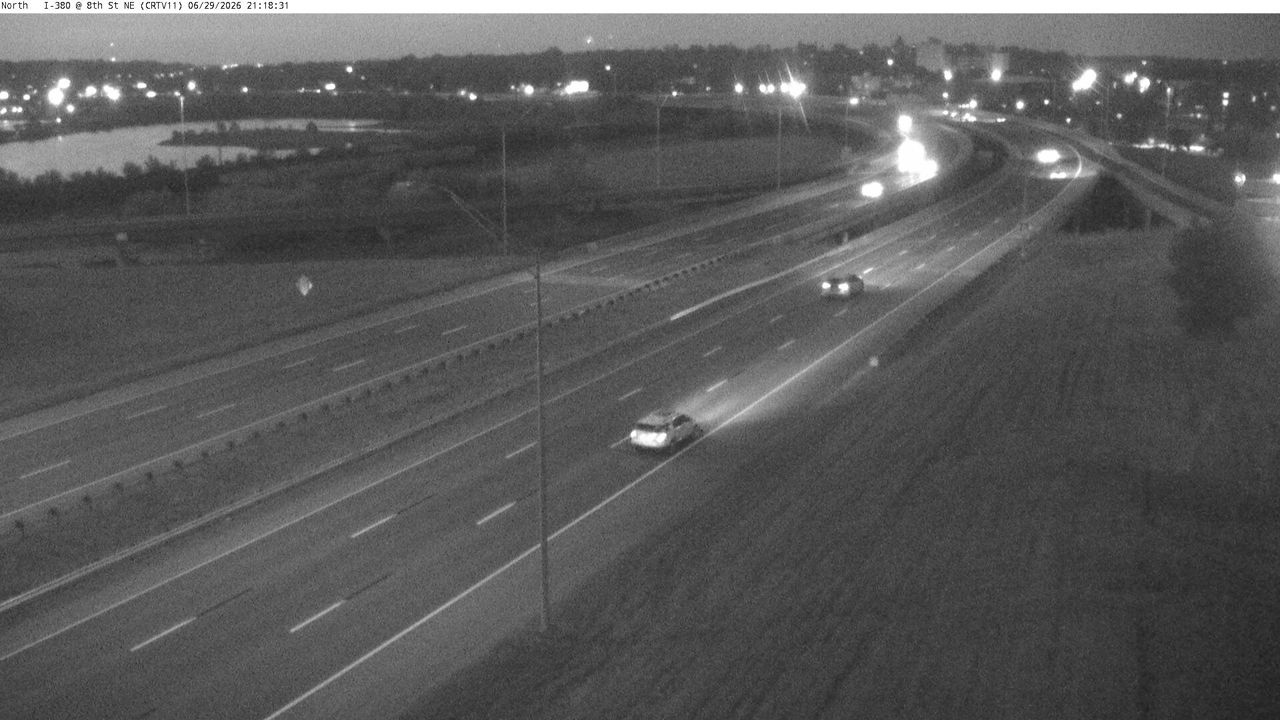 Not checked yetStill imageI-380 at MM 20.6 (8th St NE), Cedar Rapids
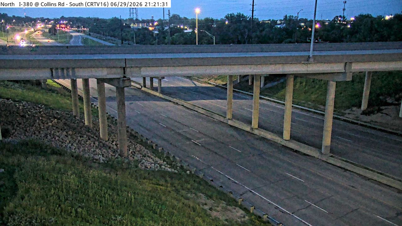 Not checked yetStill imageI-380 at MM 23.9 (Collins Rd - S), Cedar Rapids
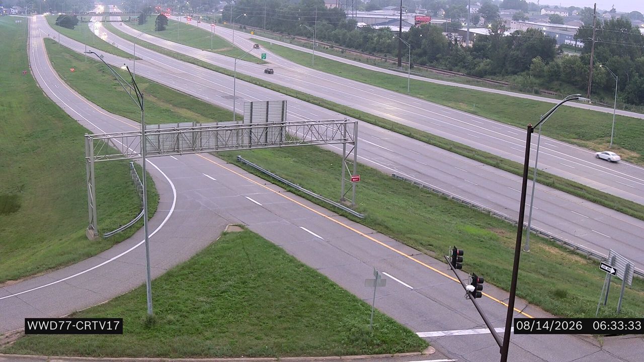 Not checked yetStill imageIA 100 at MM 9 (I-380)
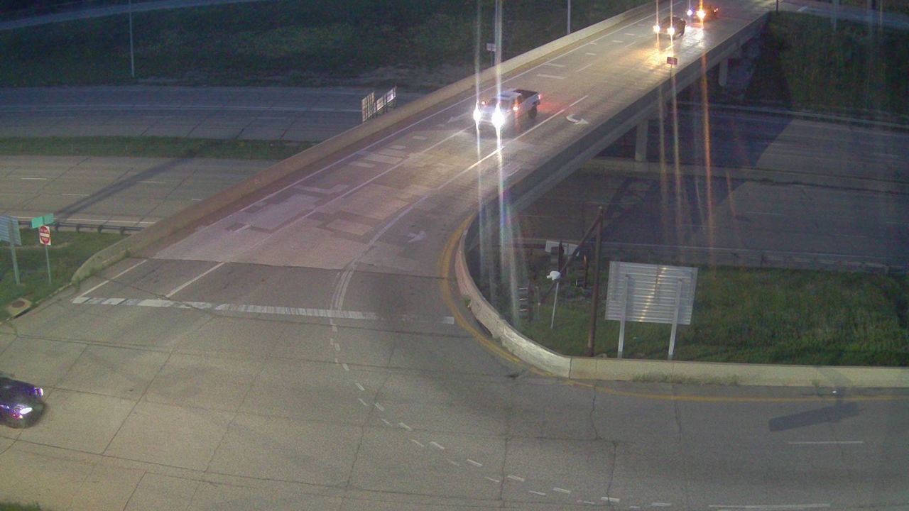 Not checked yetStill imageI-380 at MM 23.9 (Collins Rd - N)-Q, Cedar Rapids
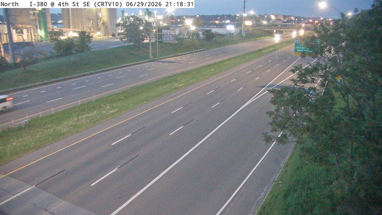 Not checked yetStill imageI-380 at MM 20.4 (4th St SE), Cedar Rapids
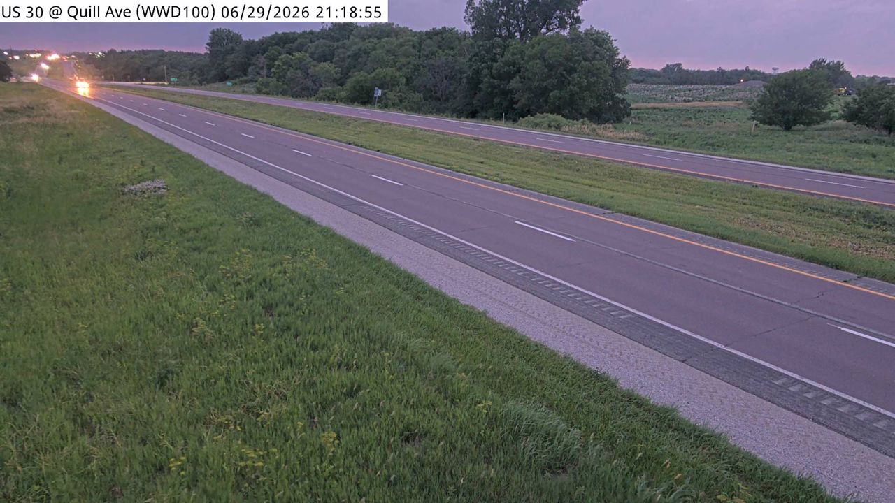 Not checked yetStill imageI-380 at MM 20.3 (2nd St NE)
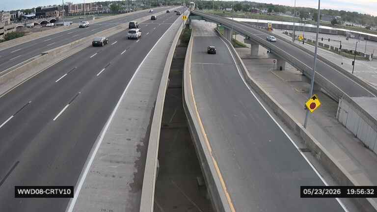 Not checked yetStill imageI-380 at 1st St E of River (08)
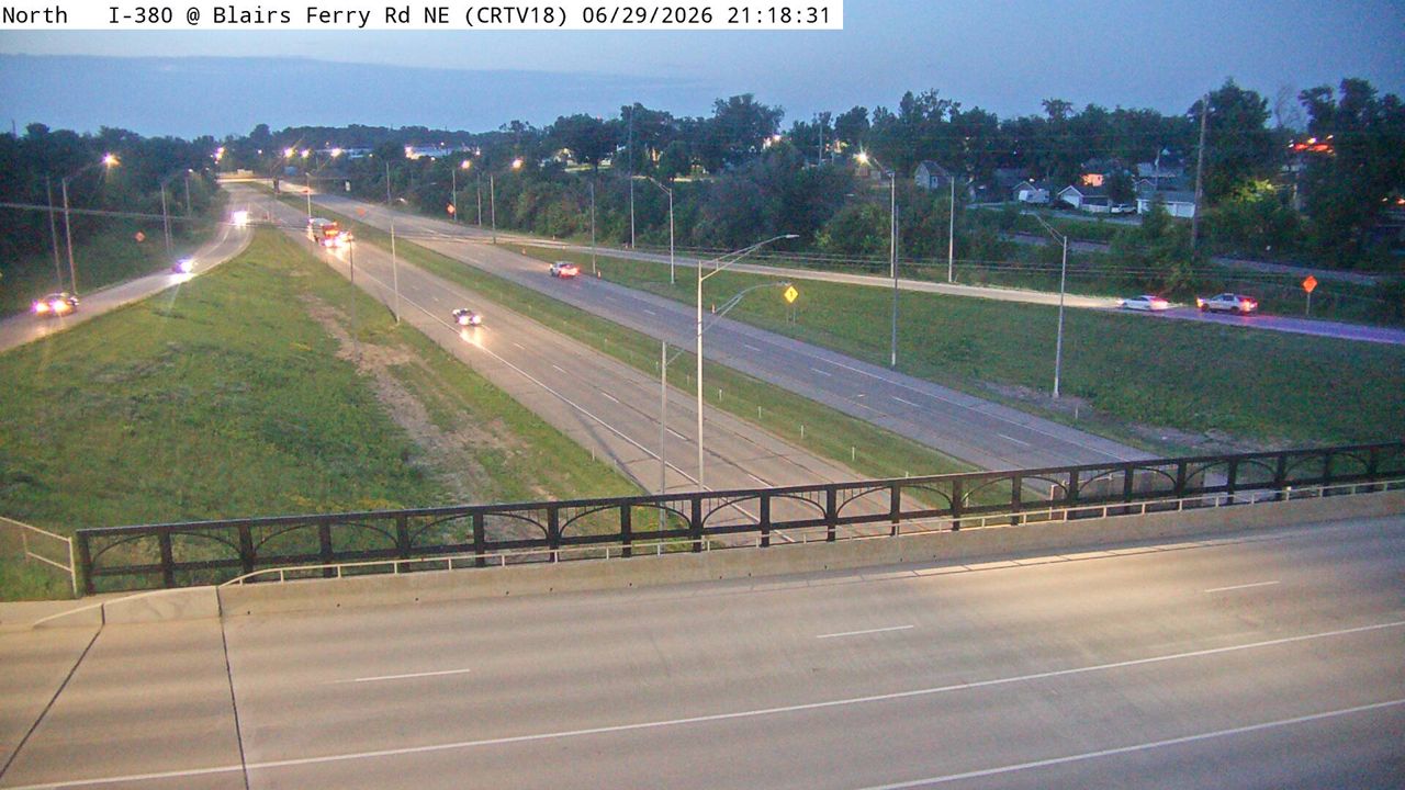 Not checked yetStill imageI-380 at MM 24.4 (Blairs Ferry Rd NE), Cedar Rapids
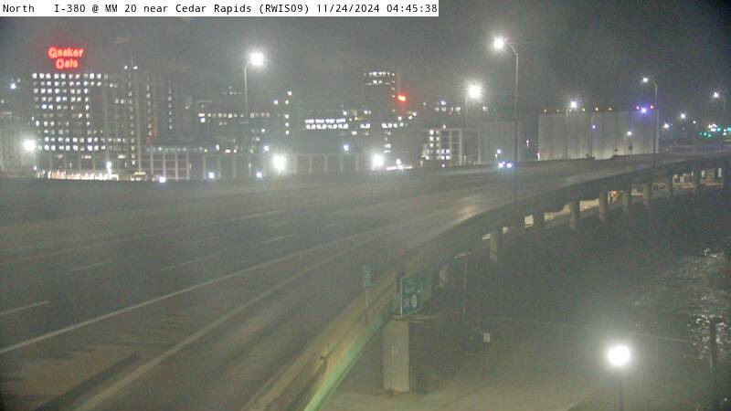 Not checked yetStill imageI-380 MM 20 at Cedar Rapids I-380
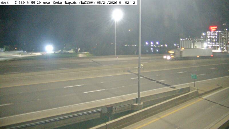 Not checked yetStill imageI-380 MM 20 at Cedar Rapids I-380
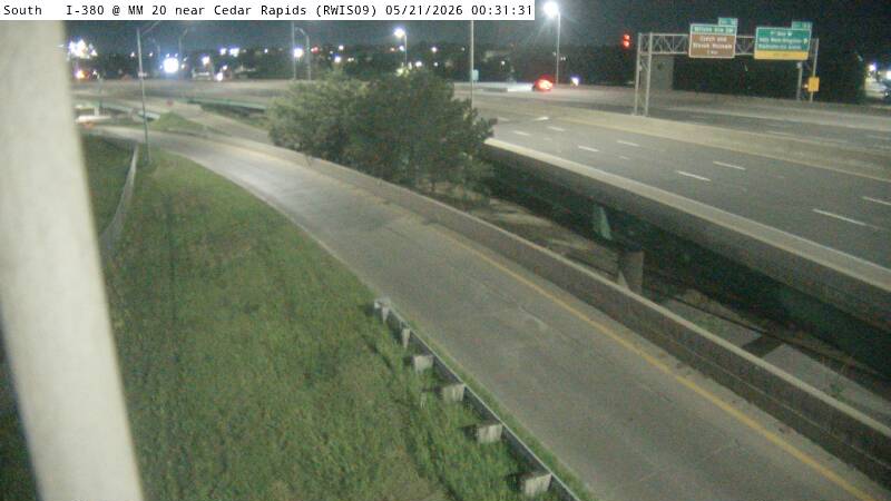 Not checked yetStill imageI-380 MM 20 at Cedar Rapids I-380, view 2
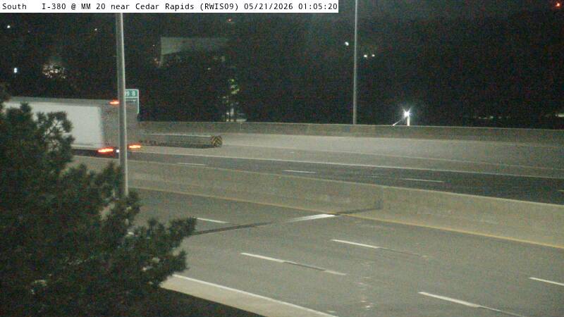 Not checked yetStill imageI-380 MM 20 at Cedar Rapids I-380, view 3
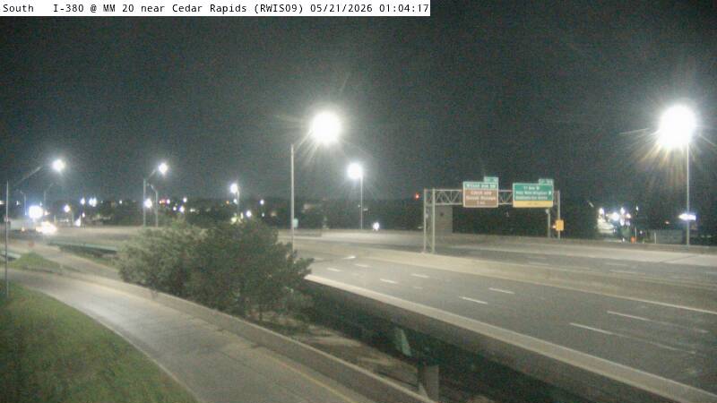 Not checked yetStill imageI-380 MM 20 at Cedar Rapids I-380, view 4
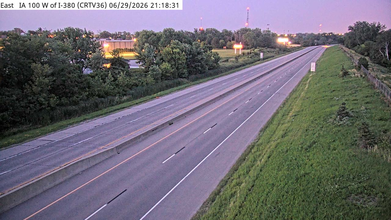 Not checked yetStill imageIA 100 at MM 8.6 (W of I-380), Cedar Rapids
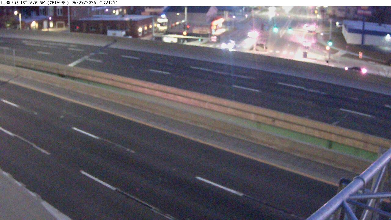 Not checked yetStill imageI-380 at MM 19.8 (1st Ave SW)-Q, Cedar Rapids
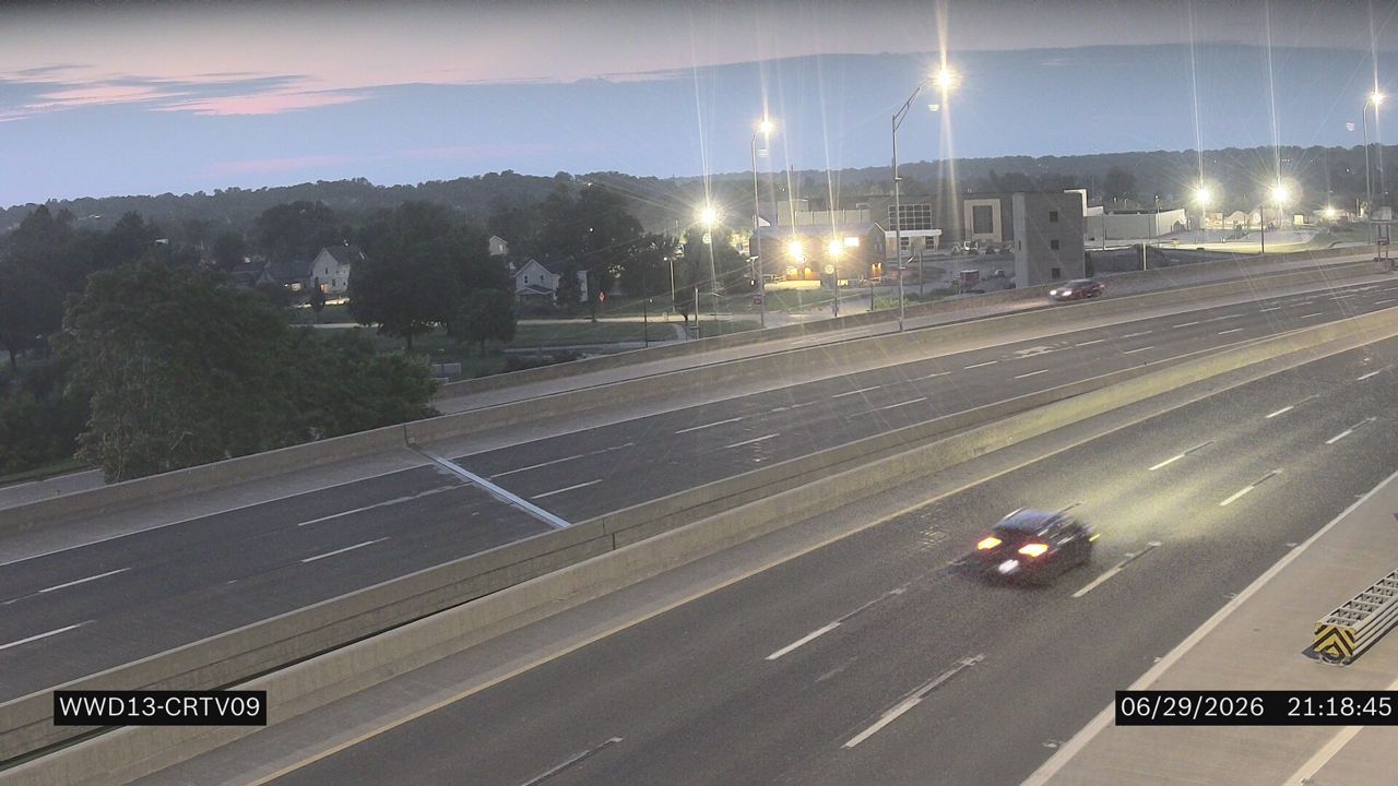 Not checked yetStill imageI-380 at MM 19.8 (1st Ave)
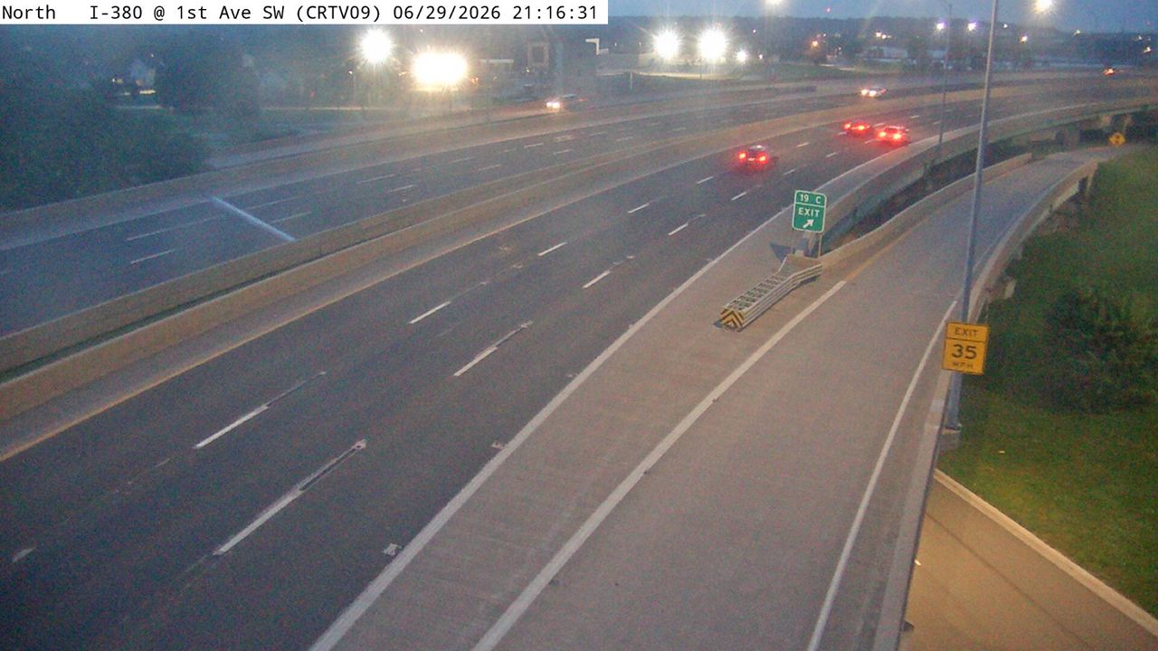 Not checked yetStill imageI-380 at MM 19.8 (1st Ave SW), Cedar Rapids
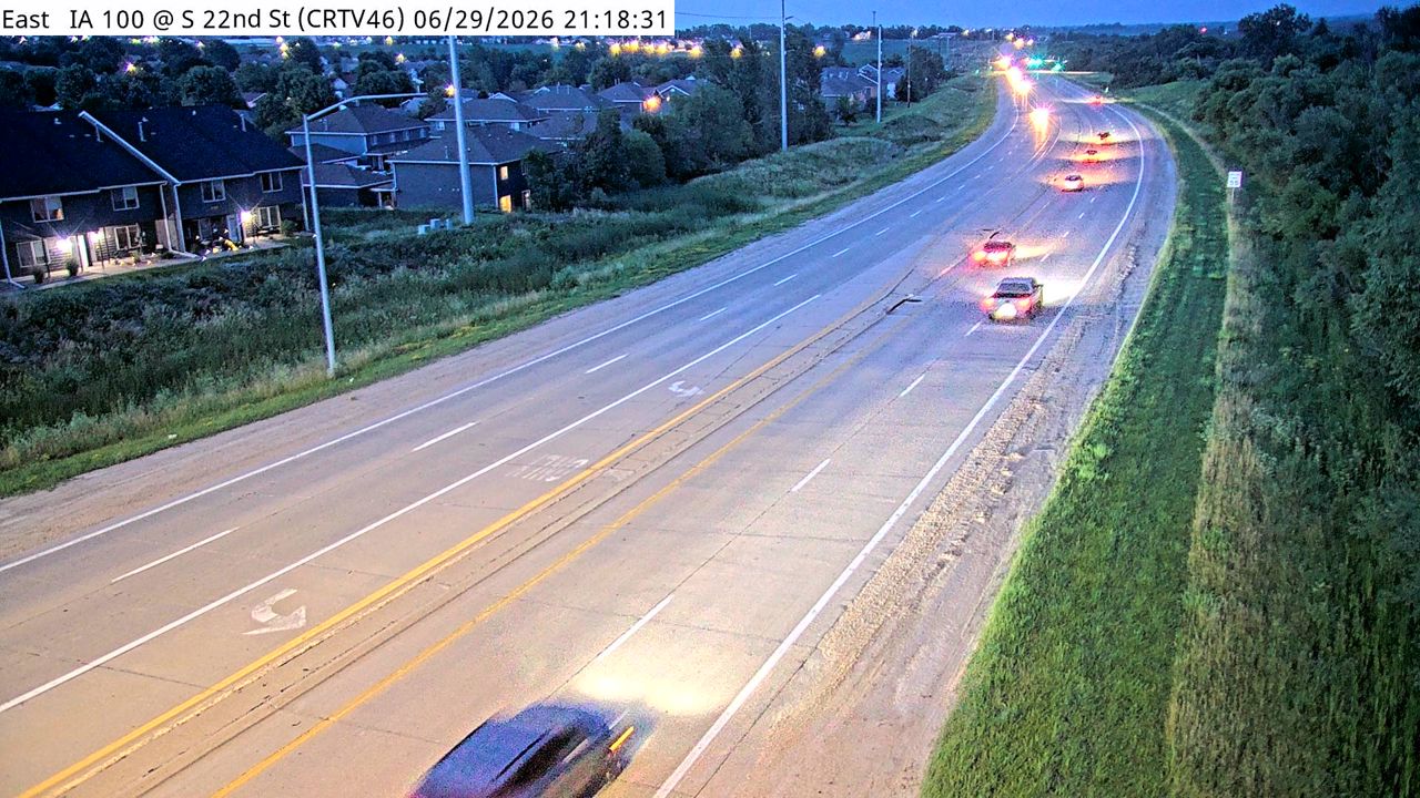 Not checked yetStill imageIA 100 at MM 14.1 (S 22nd St), Cedar Rapids
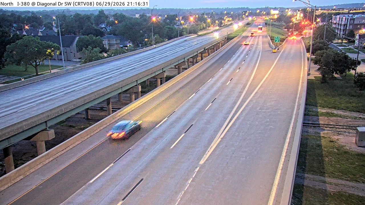 Not checked yetStill imageI-380 at MM 19.1 (Diagonal Dr SW), Cedar Rapids
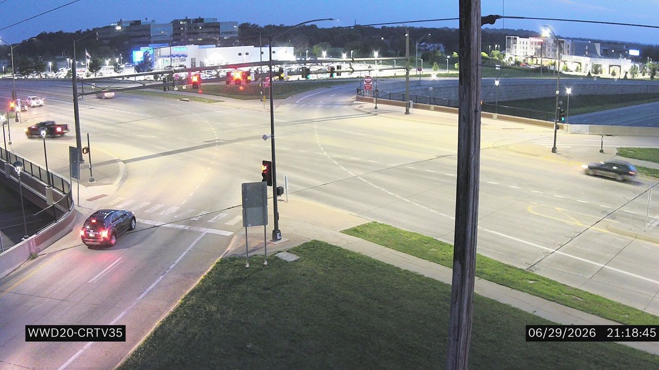 Not checked yetStill imageIA 100 at MM 7.9 (Edgewood Rd NE Intersection)
 Not checked yetStill imageIA 100 at MM 7.9 (Edgewood Rd NE), Cedar Rapids
 Not checked yetStill imageIA 100 at MM 7.9 (Edgewood Rd NE W)
 Not checked yetStill imageIA 100 at MM 7.9 (Edgewood Rd NE)-Q, Cedar Rapids
 Not checked yetStill imageI-380 at MM 25.3 (Boyson Rd)-Q, Cedar Rapids
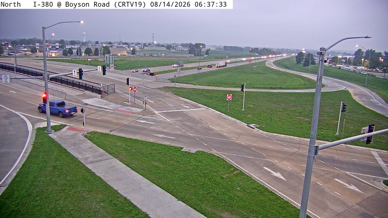 Not checked yetStill imageI-380 at MM 25.3 (Boyson Rd), Cedar Rapids
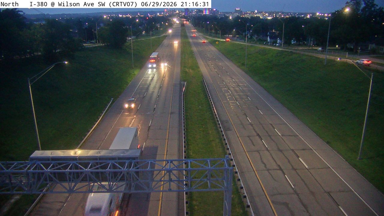 Not checked yetStill imageI-380 at MM 18.3 (Wilson Ave SW), Cedar Rapids
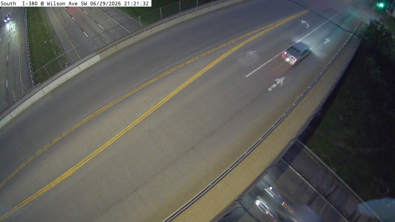 Not checked yetStill imageI-380 at MM 18.3 (Wilson Ave SW)-Q, Cedar Rapids
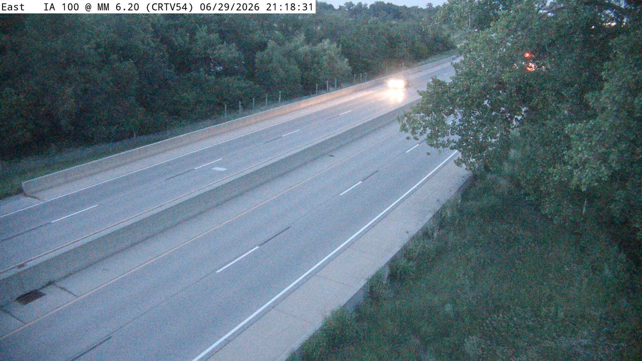 Not checked yetStill imageIA 100 at MM 6.5, Cedar Rapids
 Not checked yetStill imageI-380 at MM 26.5 (Tower Terrace Rd)
 Not checked yetStill imageI-380 at MM 26.5 (Tower Terrace)-Q, Cedar Rapids
 Not checked yetStill imageI-380 at MM 26.5 (Tower Terrace), Cedar Rapids
 Not checked yetStill imageI-380 at MM 17.6 (33rd Ave SW), Cedar Rapids
 Not checked yetStill imageI-380 at MM 17.5 (33rd Ave)
 Not checked yetStill imageIA 100 at MM 16.1 (IA 13), Cedar Rapids
 Not checked yetStill imageUS 151 at MM 35 (Cottage Grove Pkwy), Cedar Rapids
 Not checked yetStill imageIA 100 at MM 6.1 (E of Cedar River), Cedar Rapids
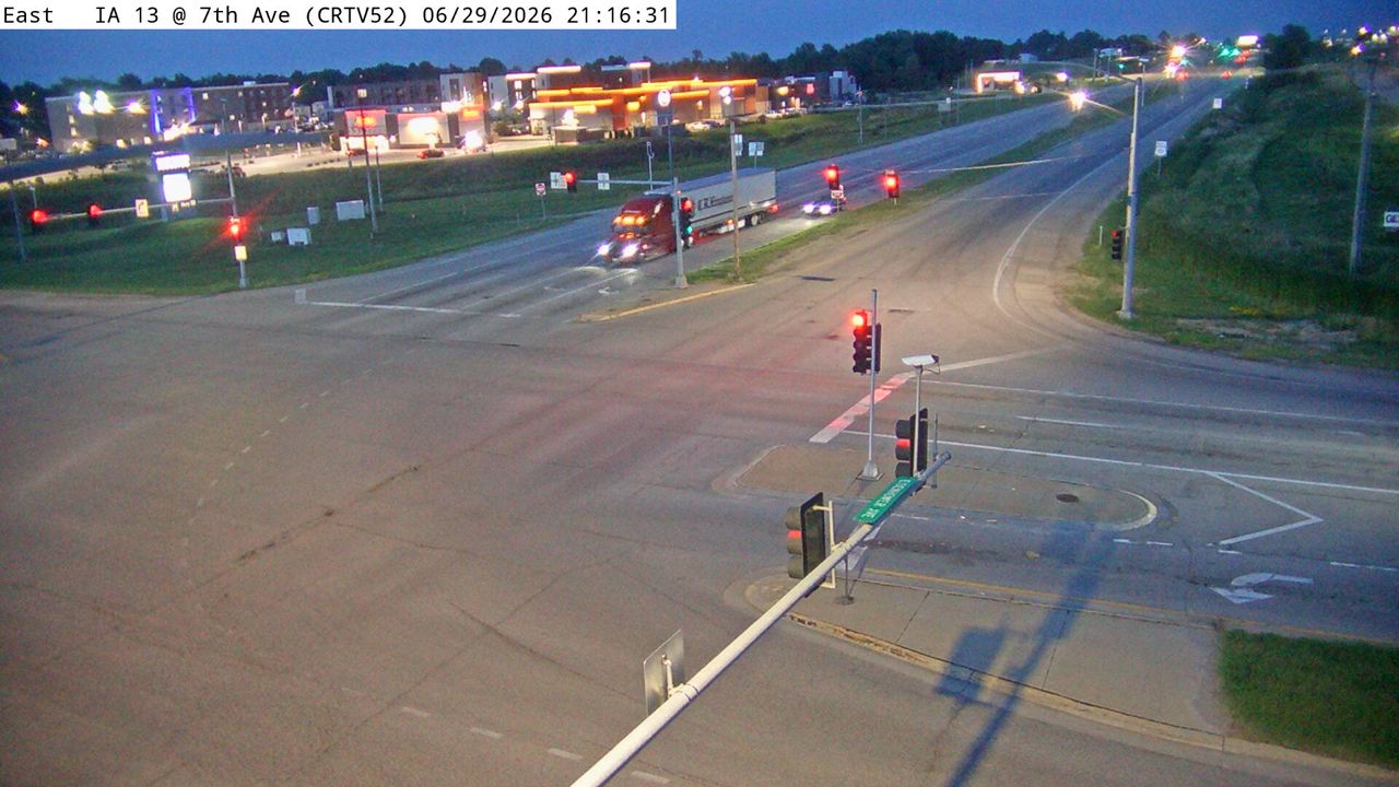 Not checked yetStill imageUS 151 at MM 37.8 (7th Ave), Cedar Rapids
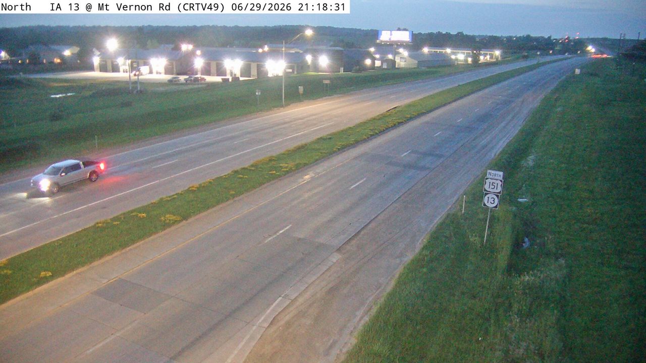 Not checked yetStill imageUS 151 at MM 33.7 (Mt Vernon Rd), Cedar Rapids
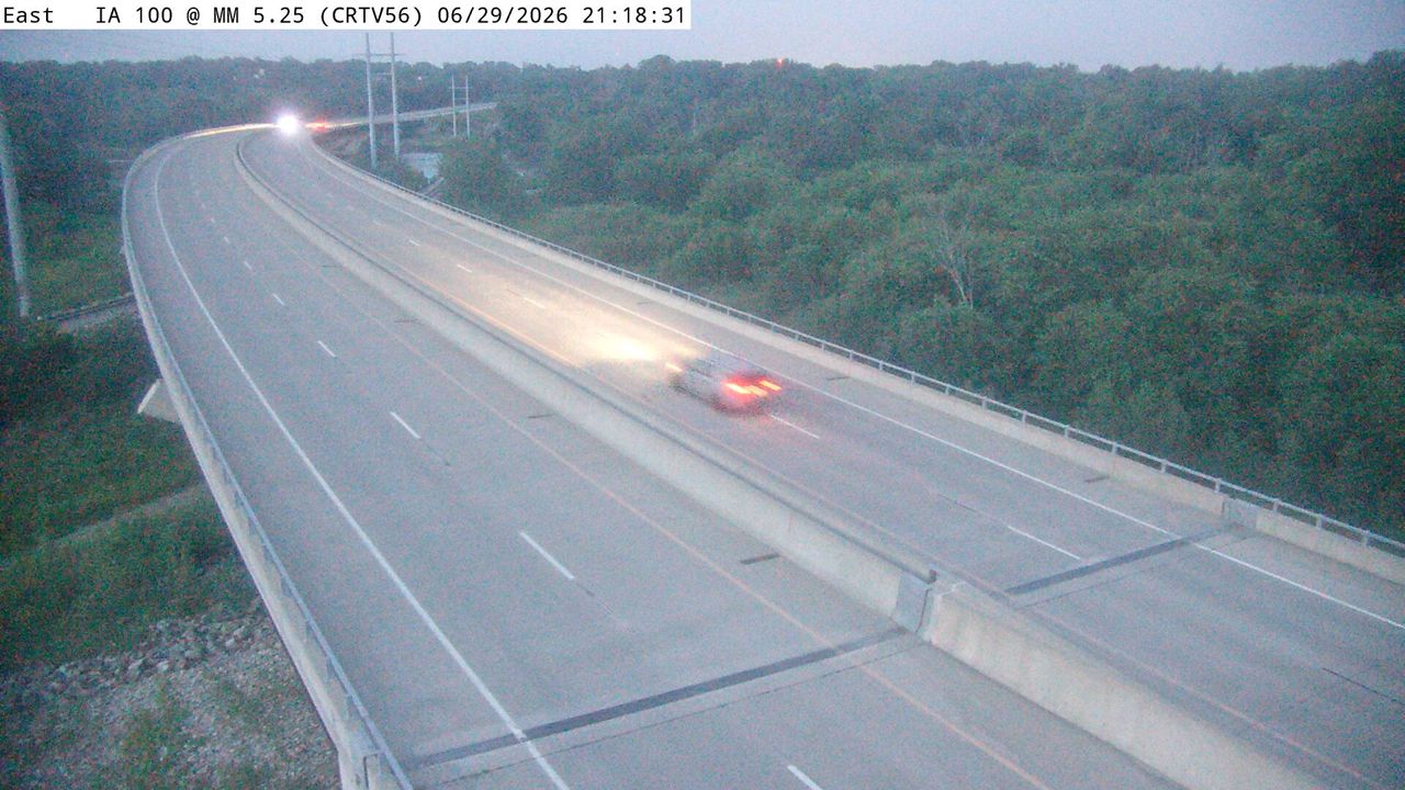 Not checked yetStill imageIA 100 at MM 5.6 (W of Cedar River), Cedar Rapids
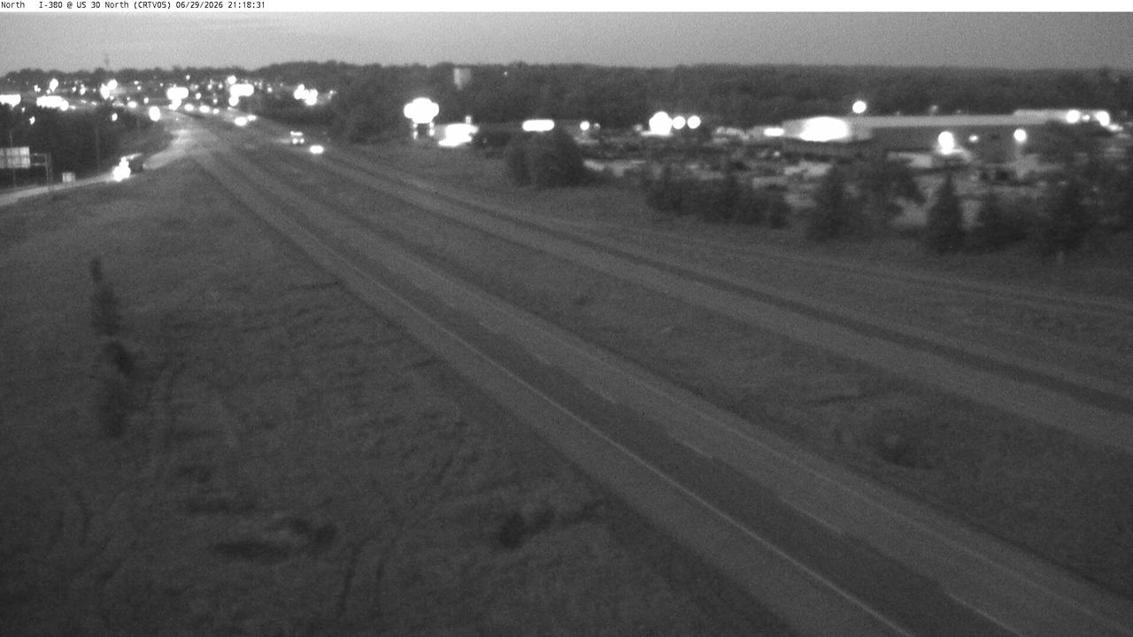 Not checked yetStill imageI-380 at MM 16.5 (US 30E Flyover), Cedar Rapids
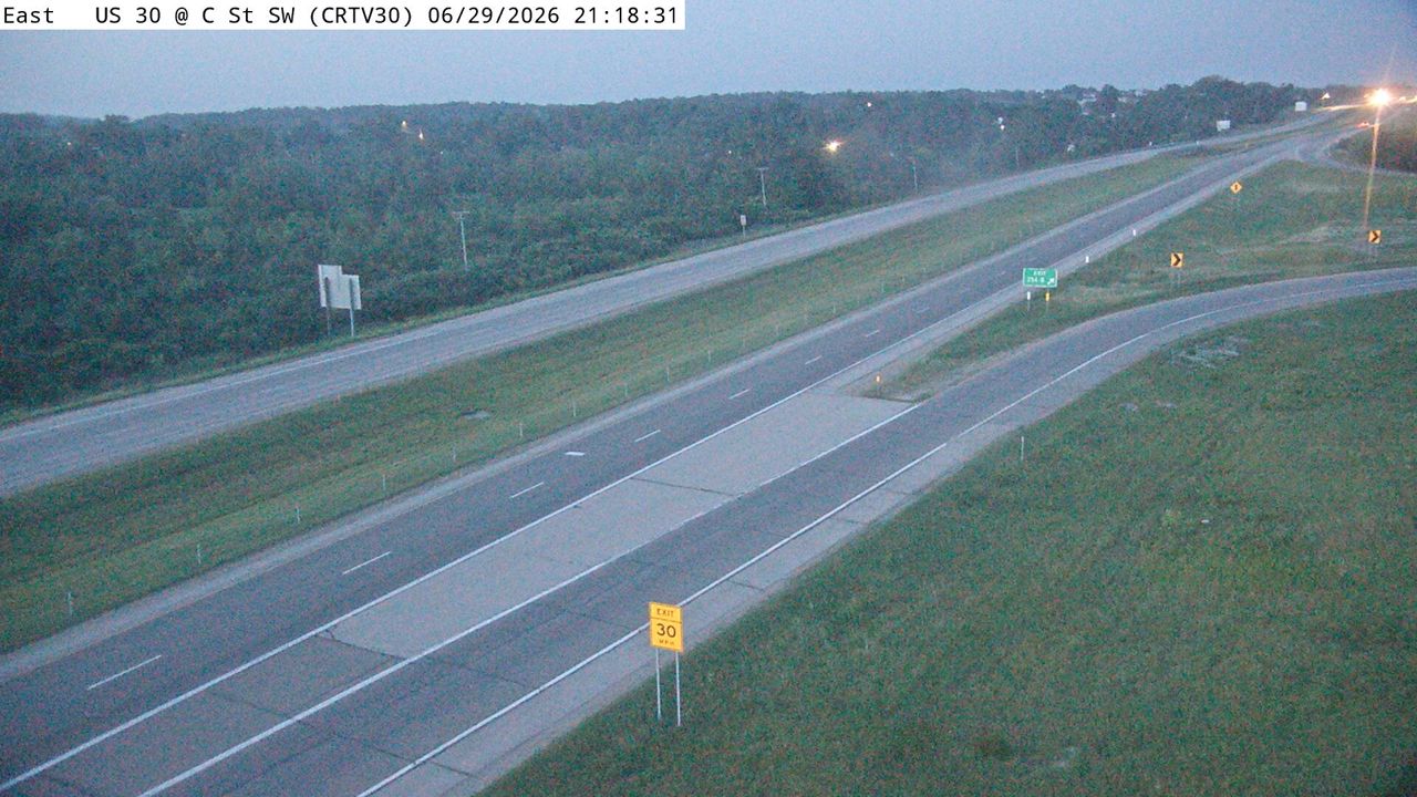 Not checked yetStill imageUS 30 at MM 254.5 (C St SW), Cedar Rapids
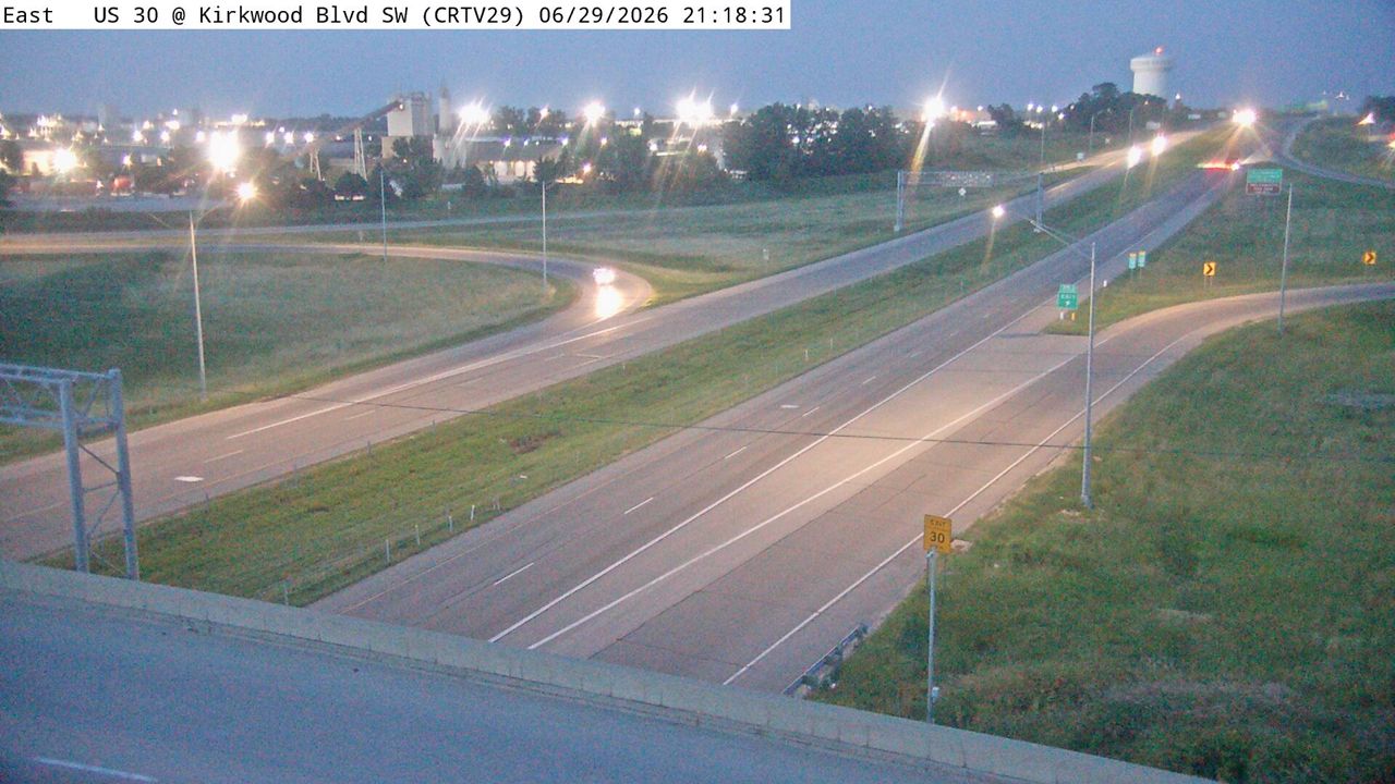 Not checked yetStill imageUS 30 at MM 250.7 (Kirkwood Blvd SW), Cedar Rapids
 Not checked yetStill imageUS 151 at MM 32.5 (Bertram Rd), Cedar Rapids
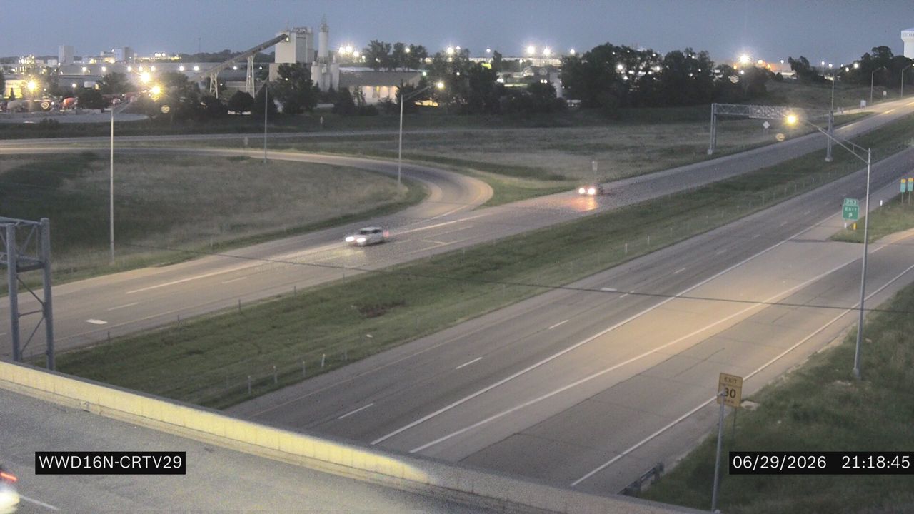 Not checked yetStill imageUS 30 at MM 250.7 (Kirkwood Blvd SW - N)
 Not checked yetStill imageUS 30 at MM 254.5 (C St SW - 18N)
 Not checked yetStill imageUS 30 at MM 254.5 (C St SW -19)
 Not checked yetStill imageUS 30 at MM 250.7 (Kirkwood Blvd SW - S)
 Not checked yetStill imageI-380 at MM 16.3 (US 30), Cedar Rapids
 Not checked yetStill imageUS 30 at MM 252 (W of 6th St SW), Cedar Rapids
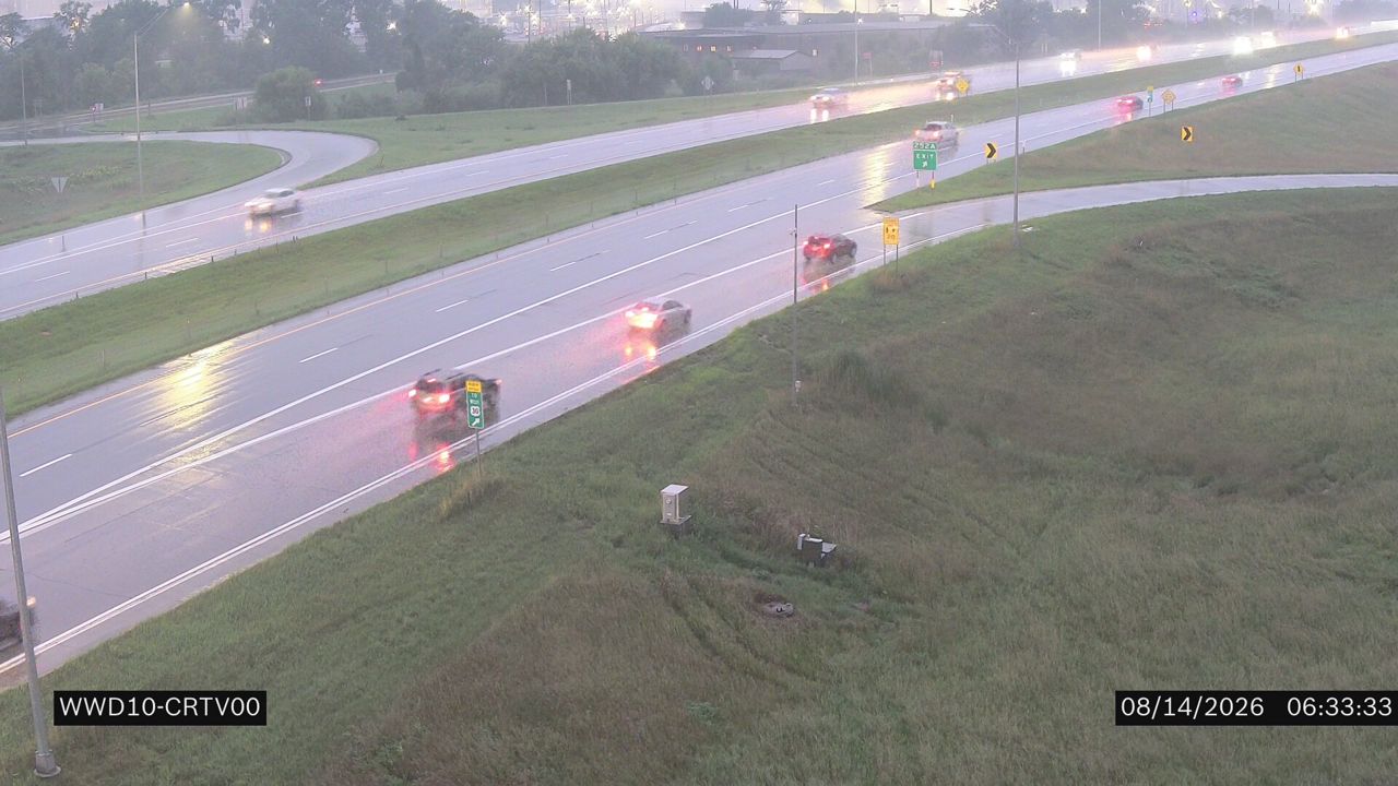 Not checked yetStill imageUS 30 at MM 249.7 (6th St SW)
 Not checked yetStill imageUS 30 at MM 252.7 (Ivanhoe Rd SW), Cedar Rapids
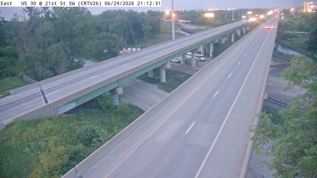 Not checked yetStill imageUS 30 at MM 248 (21st St SW), Cedar Rapids
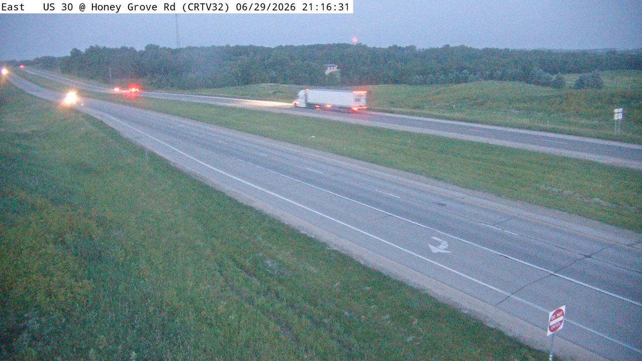 Not checked yetStill imageUS 30 at MM 253.4 (Honey Grove Rd), Cedar Rapids
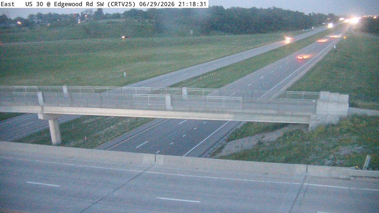 Not checked yetStill imageUS 30 at MM 247.5 (Edgewood Rd SW), Cedar Rapids
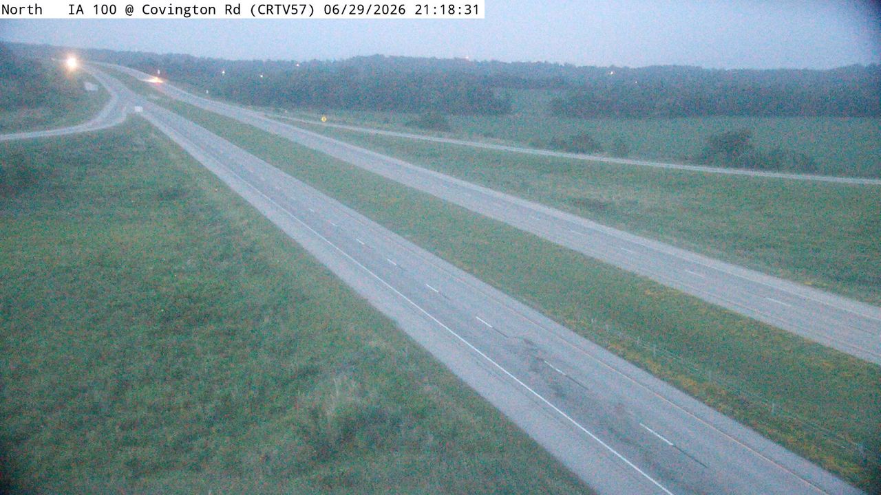 Not checked yetStill imageIA 100 at MM 4.1 (Covington Rd), Cedar Rapids
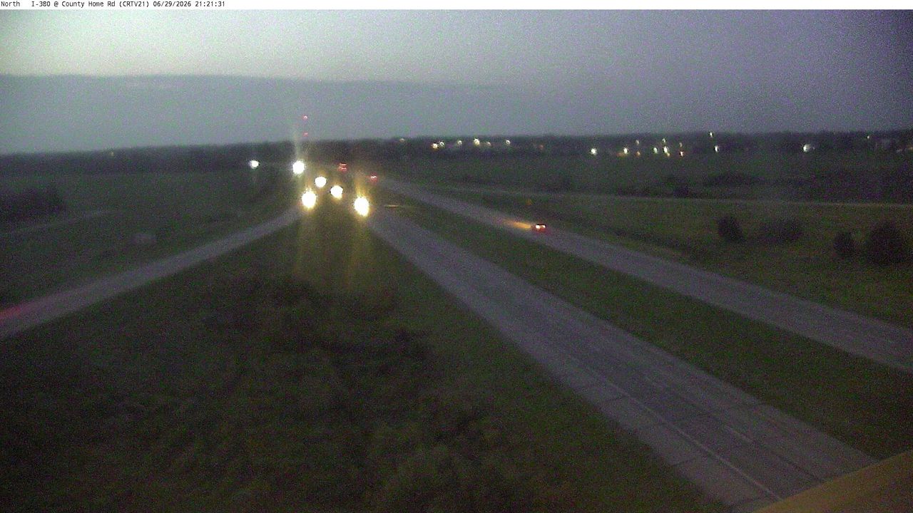 Not checked yetStill imageI-380 at MM 28.8 (County Home Rd), Cedar Rapids
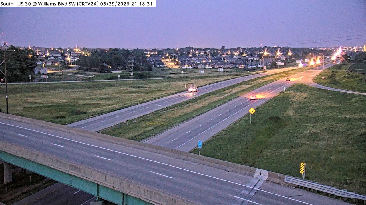 Not checked yetStill imageUS 30 at MM 246.1 (Williams Blvd SW), Cedar Rapids
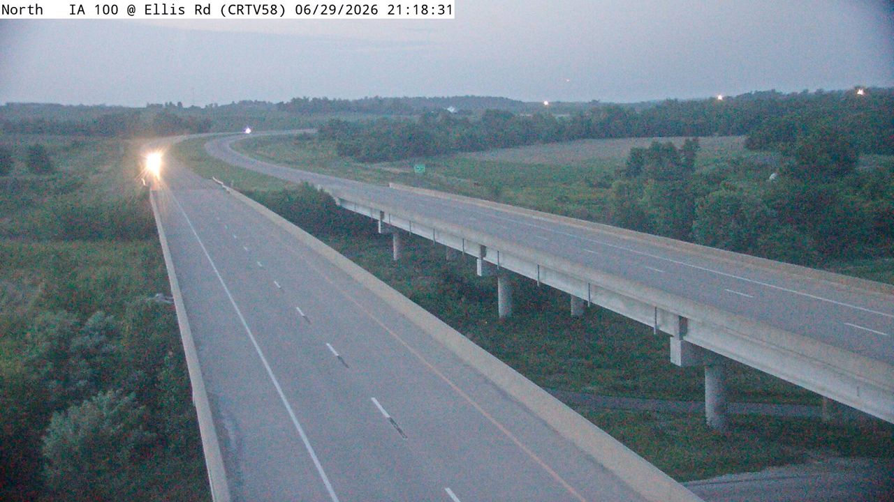 Not checked yetStill imageIA 100 at MM 3.1 (Ellis Rd), Cedar Rapids
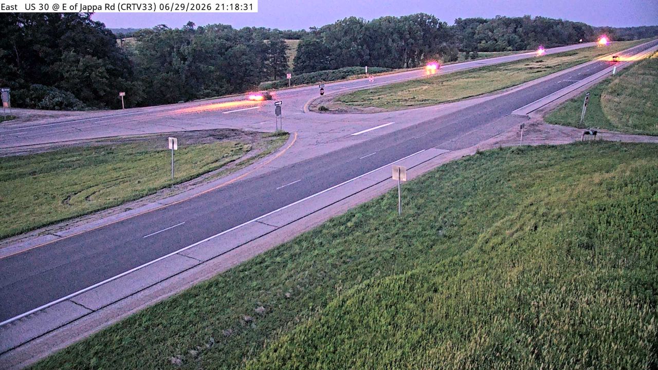 Not checked yetStill imageUS 30 at MM 255.2 (E of Jappa Rd), Cedar Rapids
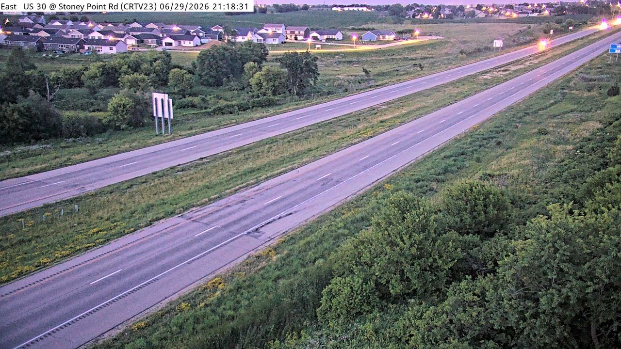 Not checked yetStill imageUS 30 at MM 245.3 (Stoney Point Rd), Cedar Rapids
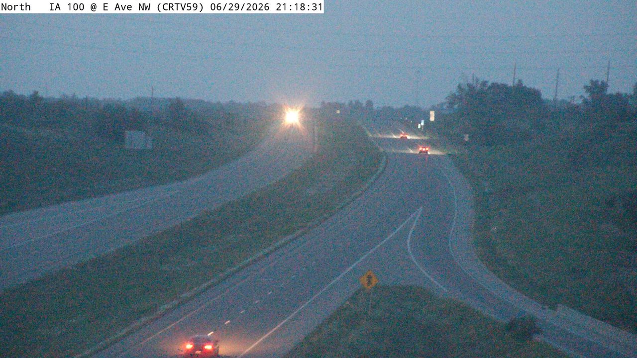 Not checked yetStill imageIA 100 at MM 1.6 (E Ave NW ), Cedar Rapids
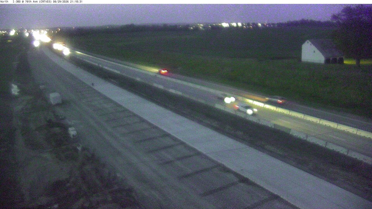 Not checked yetStill imageI-380 at MM 14.9 (76th Ave), Cedar Rapids
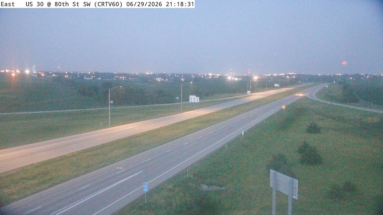 Not checked yetStill imageUS 30 at MM 244.2 (80th St SW), Cedar Rapids
 Not checked yetStill imageUS 30 at MM 244.2 (80th St SW)-Q, Cedar Rapids
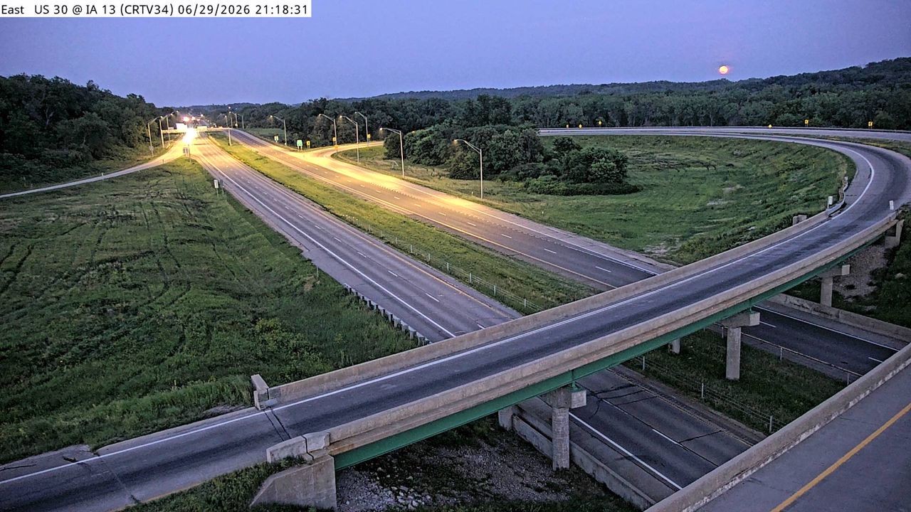 Not checked yetStill imageUS 30 at MM 256.6 (IA 13), Cedar Rapids
 Not checked yetStill imageUS 30 at MM 246.4 (IA 100)
 Not checked yetStill imageUS 30 at MM 243.7 (16th Ave SW)-Q, Cedar Rapids
 Not checked yetStill imageI-380 at Wright Brothers Blvd (IWZ 3176)
 Not checked yetStill imageI-380 at MM 31.5 (IWZ 3712S)
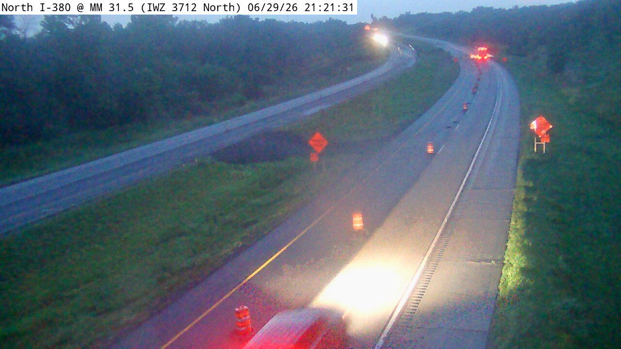 Not checked yetStill imageI-380 at MM 31.5 (IWZ 3712N)
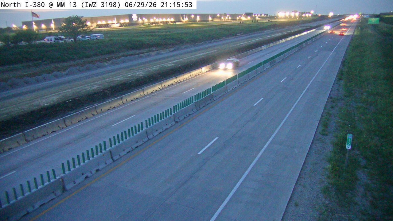 Not checked yetStill imageI-380 at MM 13 (IWZ 3198)
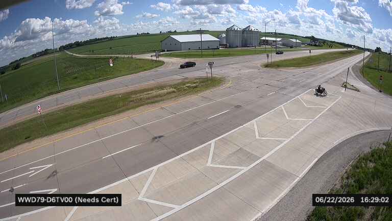 Not checked yetStill imageUS 30 at 33rd Ave (79)
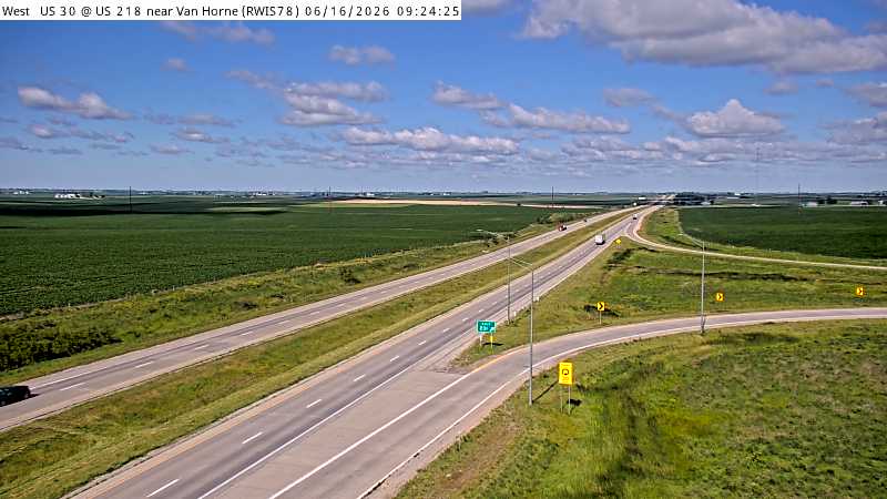 Not checked yetStill imageUS 218 S MM 135 at Van Horne
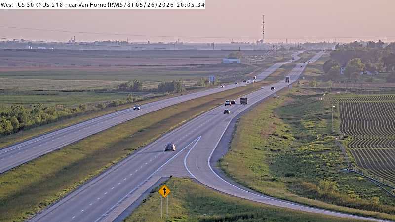 Not checked yetStill imageUS 218 S MM 135 at Van Horne
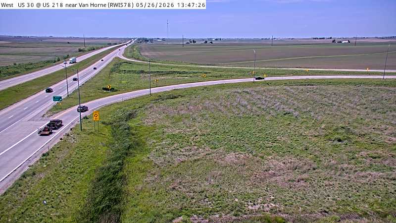 Not checked yetStill imageUS 218 S MM 135 at Van Horne, view 2
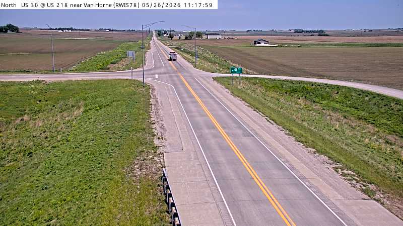 Not checked yetStill imageUS 218 S MM 135 at Van Horne, view 3
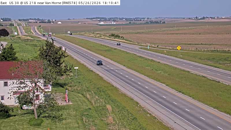 Not checked yetStill imageUS 218 S MM 135 at Van Horne, view 4
 Not checked yetStill imageUS 218 S MM 135 at Van Horne, view 5
 Not checked yetStill imageUS 218 S MM 135 at Van Horne, view 6
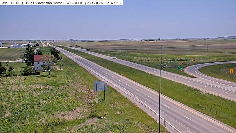 Not checked yetStill imageUS 218 S MM 135 at Van Horne, view 7
 Not checked yetStill imageUS 30 at US 218 (65)
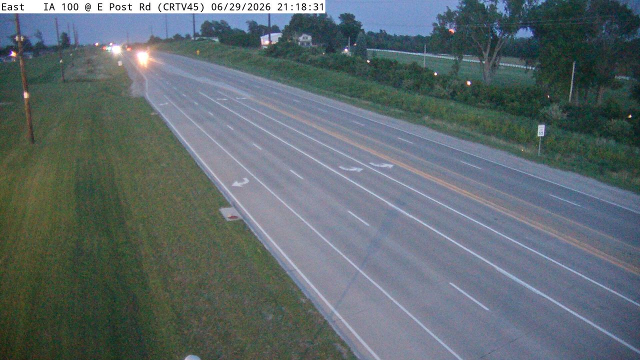 IntermittentStill imageIA 100 at MM 13.6 (East Post Rd), Cedar Rapids
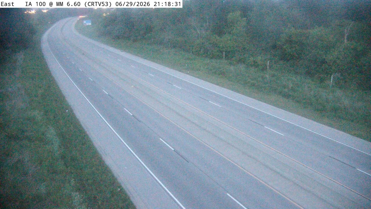 IntermittentStill imageIA 100 at MM 6.9 (W of Ushers Ferry Rd), Cedar Rapids
 IntermittentStill imageUS 30 MM 252 at Cedar Rapids US 30, view 3
No live video among these cameras. Turn off "Live video only" to see them all.
Best cams to watch
- IA 100 at MM 9.8 (Council St), Cedar Rapids — Still image · every 5 min, working 100 % of the time in the last 30 days.
- I-380 at MM 23.9 (Collins Rd - N), Cedar Rapids — Still image · every 5 min, working 100 % of the time in the last 30 days.
- IA 100 at MM 7.6 (Edgewood EB Ramp) — Still image · every 5 min, working 100 % of the time in the last 30 days.
Cedar Rapids is the second-largest city in Iowa, home to about 137,700 people at the 2020 census. It sits in Linn County in eastern Iowa, on both banks of the Cedar River, roughly twenty miles north of Iowa City. Downtown has an unusual heart: Mays Island, a strip of land in the middle of the river that holds city hall and the county courthouse. The city calls itself the City of Five Seasons, and its skyline is shaped as much by grain mills as by office towers, with Quaker Oats, Cargill and ADM processing plants close to the center and Collins Aerospace headquartered here.
The cameras on this page come from the Iowa Department of Transportation, the same feeds drivers see on Iowa 511. Most look along Interstate 380, which carries traffic through the middle of town and over the river, plus US 30 and US 151 on the south and east sides. Some are road-weather views from Iowa DOT weather stations, aimed at the pavement so crews and drivers can judge whether lanes are wet, slushy or snow-covered. Images refresh every few minutes rather than streaming, so think of them as frequent snapshots of conditions.
When to look
Cedar Rapids runs on Central Time. Winter is the most interesting season for road cameras: snow and blowing snow can change a clear interstate into a white one within an hour, and the weather views make that easy to see. In summer, evening thunderstorms roll across the Corridor; the August 2020 derecho brought winds above a hundred miles an hour and knocked out power to most of the city. Spring is flood season to watch on the river — the 2008 flood crested above thirty-one feet and covered about ten square miles of the city. Weekday rush hours on I-380 show the busiest traffic.
Nearby, Czech Village and the New Bohemia district sit along the river south of downtown, with the National Czech & Slovak Museum and Library. Follow I-380 south and you reach Iowa City and the University of Iowa; cameras along that stretch also appear within this page's radius.
Sources: Cedar Rapids, Iowa — Wikipedia · Iowa 511 — Iowa Department of Transportation.
Nearby places
- Waukegan (620)
- Wheaton (617)
- North Peoria (554)
- Peoria (553)
- Naperville (475)
- Gurnee (386)
- Palatine (354)
- Grayslake (346)
Questions about Cedar Rapids
How many cameras does LiveLocation have in Cedar Rapids?
LiveLocation lists 104 cameras in and around Cedar Rapids, United States: 0 live video, 104 still images. 10 of them were live or showing a fresh image at the last check.
Who runs the cameras in Cedar Rapids?
All of them come from Iowa DOT (104). Each camera plays straight from the agency or owner that runs it, with credit. Iowa DOT
What can I see on the Cedar Rapids cameras?
The views are traffic and highway (87) and pass and road weather (17). Good ones to start with: IA 100 at MM 9.8 (Council St), Cedar Rapids and I-380 at MM 23.9 (Collins Rd - N), Cedar Rapids. IA 100 at MM 9.8 (Council St), Cedar Rapids I-380 at MM 23.9 (Collins Rd - N), Cedar Rapids
Can I watch live video from Cedar Rapids?
Not yet: the cameras here send still images that refresh about every 6 minutes. The map can show only live-video cameras nearby. Live video on the map
What time is it in Cedar Rapids, and when is it light?
Cedar Rapids is on America/Chicago time. On October 7 the sun rises at 7:10 AM and sets at 6:38 PM, so still images are clearest between those times. Road cameras show the most traffic in the weekday morning and evening rush hours.
Which places near Cedar Rapids also have cameras?
The nearest are Marion (3.0 mi away, 46 cameras), North Liberty (18 mi away, 52 cameras) and Coralville (23 mi away, 24 cameras). Marion North Liberty Coralville
How can I see the Cedar Rapids cameras on a map?
The map at the top of this page shows all 104 of them. The live camera radar centers on Cedar Rapids and lists every camera within 5 to 250 miles, nearest first, with filters for live video, traffic, nature and more. Open the radar on Cedar Rapids
Place names and locations: GeoNames, licensed under CC BY 4.0.