Live cameras in Palatine, United States
200 cameras: 0 live video, 200 still images · 200 working now · updated Oct 8, 03:32 UTC
Palatine has 200 live cameras on LiveLocation right now: 0 live video, 200 still images. Good places to start: Aptakisic at Buffalo Grove, looking north, US 12 at IL 22, looking south, Aptakisic at Barclay, looking west. Local time is 10:32 PM (America/Chicago). Today the sun rises at 6:55 AM and sets at 6:23 PM.
Palatine live cameras
Palatine live cameras, all in one place: 0 live video, 200 still images. 200 were working at the last check. Palatine is home to about 69,000 people.
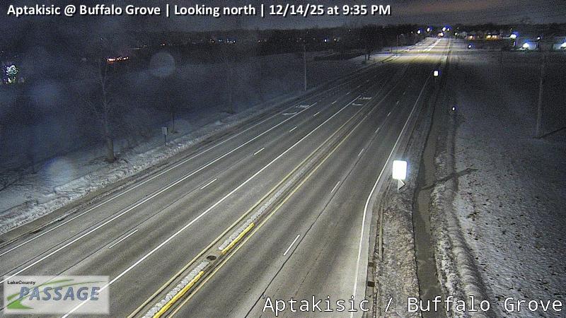 WorkingStill imageAptakisic at Buffalo Grove, looking north
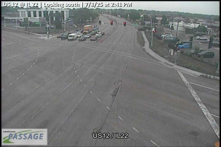 WorkingStill imageUS 12 at IL 22, looking south
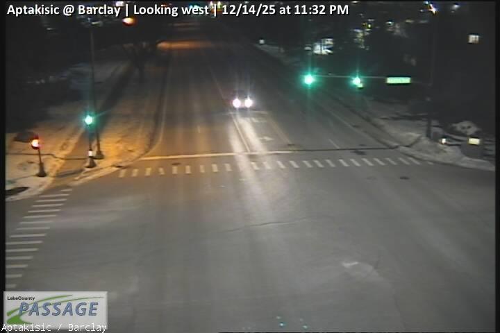 WorkingStill imageAptakisic at Barclay, looking west
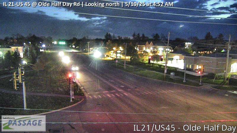 WorkingStill imageIL 21-US 45 at Olde Half Day Rd, looking north
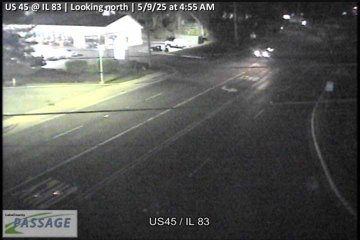 WorkingStill imageUS 45 at IL 83, looking north
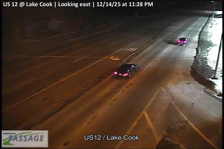 WorkingStill imageUS 12 at Lake Cook, looking east
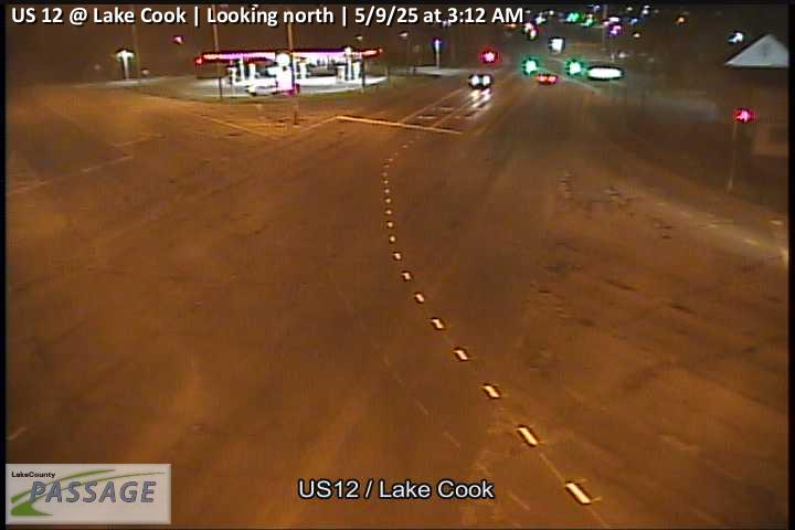 WorkingStill imageUS 12 at Lake Cook, looking north
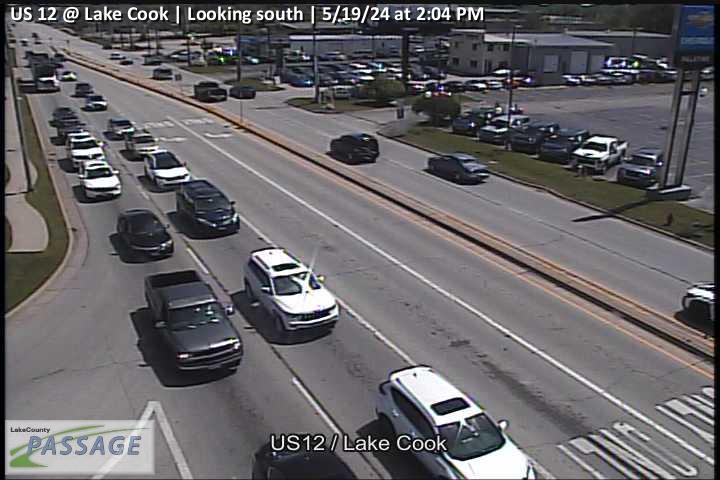 WorkingStill imageUS 12 at Lake Cook, looking south
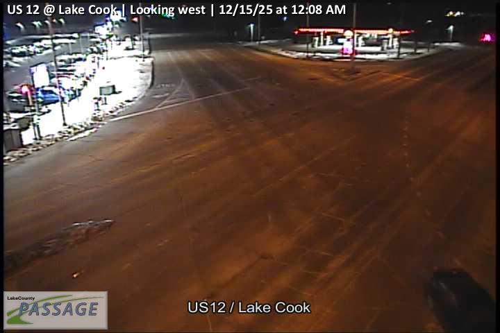 WorkingStill imageUS 12 at Lake Cook, looking west
 WorkingStill imageIL 53 at Lake Cook, looking east
 WorkingStill imageIL 53 at Lake Cook, looking north
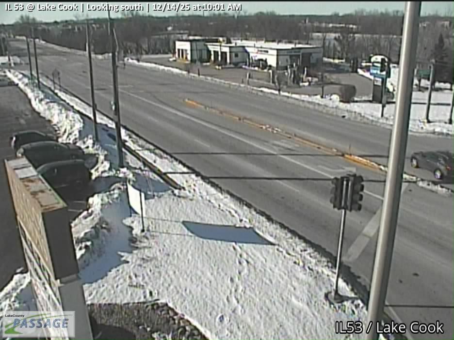 WorkingStill imageIL 53 at Lake Cook, looking south
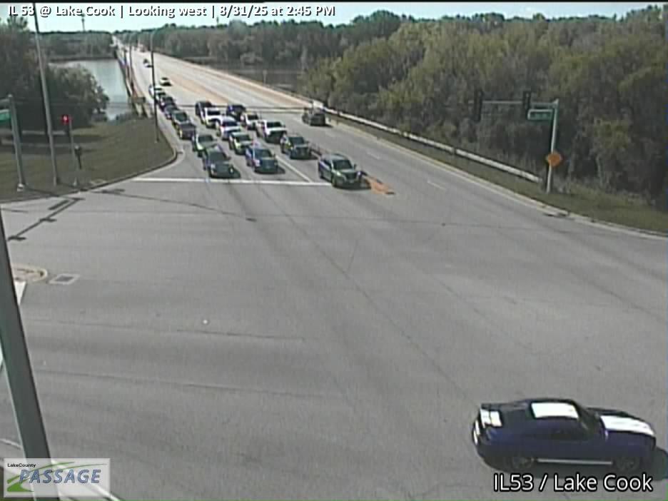 WorkingStill imageIL 53 at Lake Cook, looking west
_cctv_East_Leg.jpg) WorkingStill imageIL 53 at Lake Cook (West ramp), looking east
WorkingStill imageIL 53 at Lake Cook (West ramp), looking east_cctv_North_Leg.jpg) WorkingStill imageIL 53 at Lake Cook (West ramp), looking north
WorkingStill imageIL 53 at Lake Cook (West ramp), looking north_cctv_South_Leg.jpg) WorkingStill imageIL 53 at Lake Cook (West ramp), looking south
WorkingStill imageIL 53 at Lake Cook (West ramp), looking south_cctv_West_Leg.jpg) WorkingStill imageIL 53 at Lake Cook (West ramp), looking west
WorkingStill imageIL 53 at Lake Cook (West ramp), looking west WorkingStill imageLake Cook at Quentin, looking east
 WorkingStill imageLake Cook at Quentin, looking north
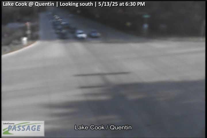 WorkingStill imageLake Cook at Quentin, looking south
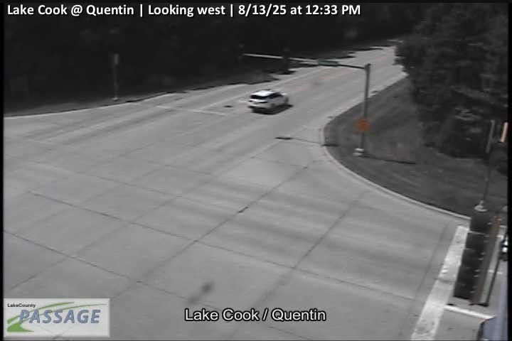 WorkingStill imageLake Cook at Quentin, looking west
 WorkingStill imageAlgonquin Rd., Cook County
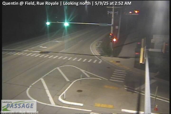 WorkingStill imageQuentin at Field, Rue Royale, looking north
 WorkingStill imageQuentin at Field, Rue Royale, looking south
 WorkingStill imageI-90 at n/o NW Tollway, Cook County
 WorkingStill imageI-90 at s/o NW Tollway, Cook County
 WorkingStill imageUS 12 at Long Grove, looking east
 WorkingStill imageUS 12 at Long Grove, looking north
 WorkingStill imageUS 12 at Long Grove, looking south
 WorkingStill imageUS 12 at Long Grove, looking west
 WorkingStill imageLong Grove at Quentin, looking east
 WorkingStill imageLong Grove at Quentin, looking north
 WorkingStill imageLong Grove at Quentin, looking south
 WorkingStill imageLong Grove at Quentin, looking west
 WorkingStill imageI-90 at Roselle Road, Cook County, looking west
 WorkingStill imageLake Cook at Arlington Heights, looking east
 WorkingStill imageLake Cook at Arlington Heights, looking north
 WorkingStill imageLake Cook at Arlington Heights, looking south
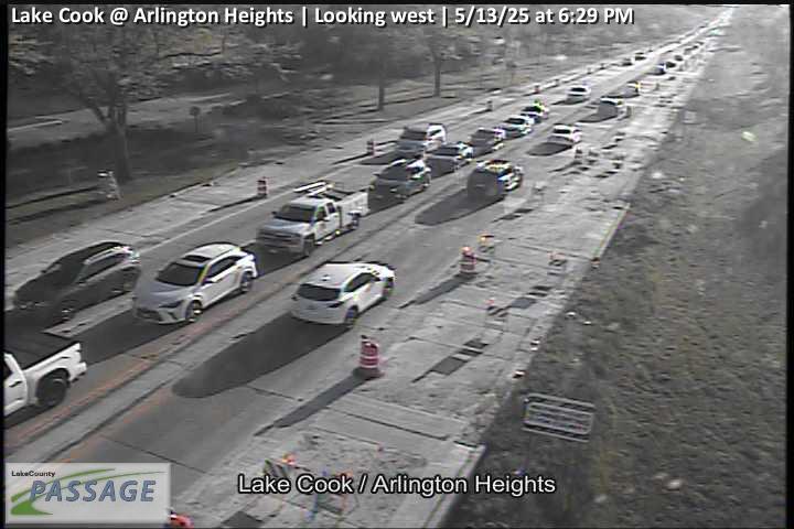 WorkingStill imageLake Cook at Arlington Heights, looking west
 WorkingStill imageGolf Rd., Cook County
_cctv_North_Leg.jpg) WorkingStill imageIL 53 at Long Grove (Cell), looking north
WorkingStill imageIL 53 at Long Grove (Cell), looking north_cctv_South_Leg.jpg) WorkingStill imageIL 53 at Long Grove (Cell), looking south
WorkingStill imageIL 53 at Long Grove (Cell), looking south_cctv_West_Leg.jpg) WorkingStill imageIL 53 at Long Grove (Cell), looking west
WorkingStill imageIL 53 at Long Grove (Cell), looking west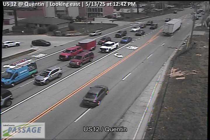 WorkingStill imageUS 12 at Quentin, looking east
 WorkingStill imageUS 12 at Quentin, looking north
 WorkingStill imageUS 12 at Quentin, looking south
 WorkingStill imageUS 12 at Quentin, looking west
 WorkingStill imageQuentin at White Pine, looking north
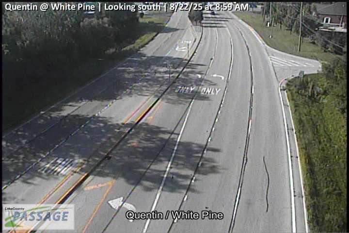 WorkingStill imageQuentin at White Pine, looking south
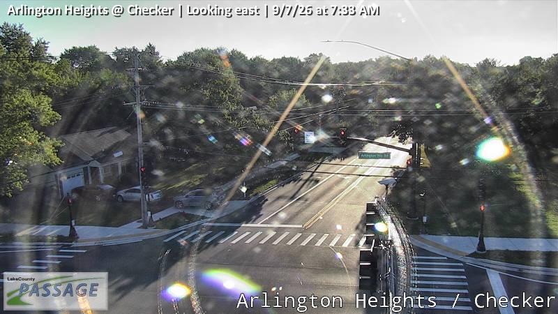 WorkingStill imageArlington Heights at Checker, looking east
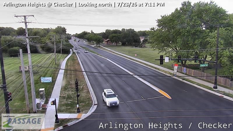 WorkingStill imageArlington Heights at Checker, looking north
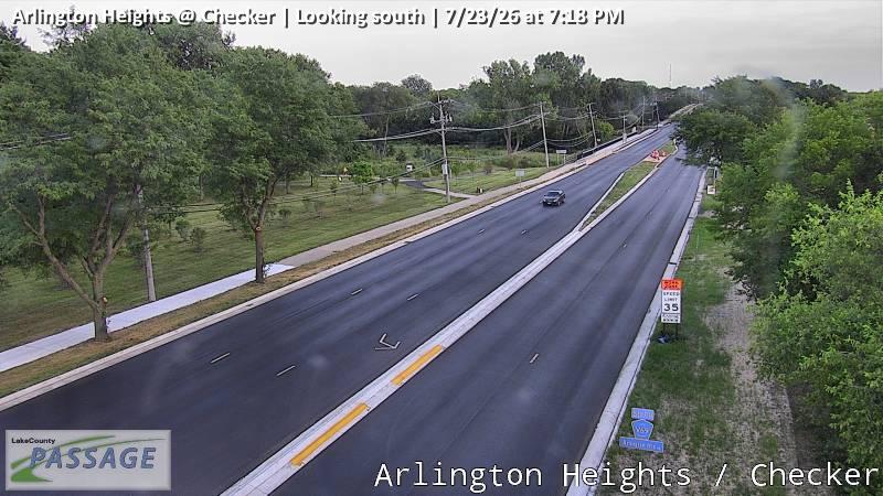 WorkingStill imageArlington Heights at Checker, looking south
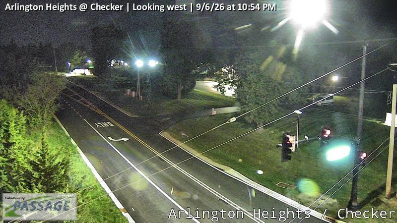 WorkingStill imageArlington Heights at Checker, looking west
_cctv_East_Leg.jpg) WorkingStill imageLake Cook at Ela (Wireless), looking east
WorkingStill imageLake Cook at Ela (Wireless), looking east_cctv_North_Leg.jpg) WorkingStill imageLake Cook at Ela (Wireless), looking north
WorkingStill imageLake Cook at Ela (Wireless), looking north_cctv_South_Leg.jpg) WorkingStill imageLake Cook at Ela (Wireless), looking south
WorkingStill imageLake Cook at Ela (Wireless), looking south_cctv_West_Leg.jpg) WorkingStill imageLake Cook at Ela (Wireless), looking west
WorkingStill imageLake Cook at Ela (Wireless), looking west WorkingStill imageI-290 at Woodfield Dr., Cook County
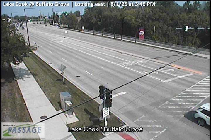 WorkingStill imageLake Cook at Buffalo Grove, looking east
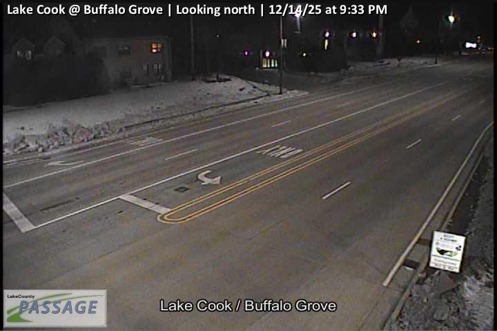 WorkingStill imageLake Cook at Buffalo Grove, looking north
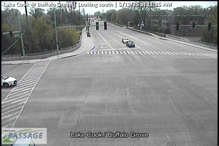 WorkingStill imageLake Cook at Buffalo Grove, looking south
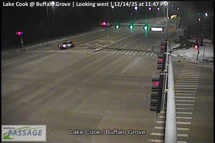 WorkingStill imageLake Cook at Buffalo Grove, looking west
_cctv_North_Leg.jpg) WorkingStill imageBuffalo Grove at Old Checker (Cell), looking north
WorkingStill imageBuffalo Grove at Old Checker (Cell), looking north_cctv_South_Leg.jpg) WorkingStill imageBuffalo Grove at Old Checker (Cell), looking south
WorkingStill imageBuffalo Grove at Old Checker (Cell), looking south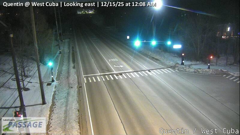 WorkingStill imageQuentin at West Cuba, looking east
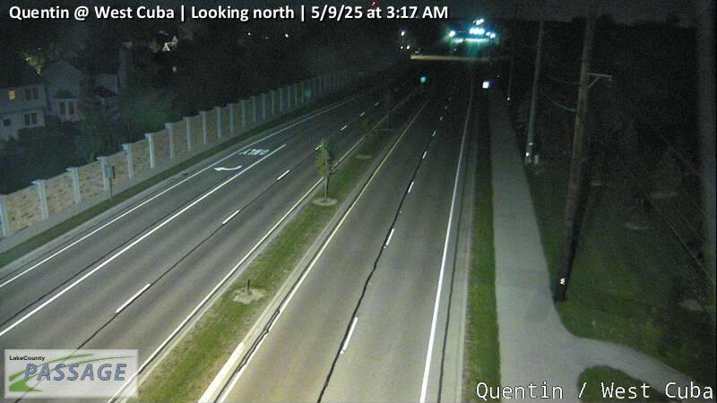 WorkingStill imageQuentin at West Cuba, looking north
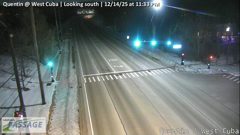 WorkingStill imageQuentin at West Cuba, looking south
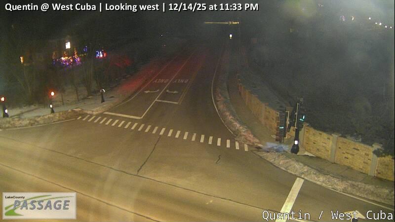 WorkingStill imageQuentin at West Cuba, looking west
 WorkingStill imageIL-53 at Higgins NB Ent, Cook County
_cctv_East_Leg.jpg) WorkingStill imageEla at Long Grove (Wireless), looking east
WorkingStill imageEla at Long Grove (Wireless), looking east_cctv_North_Leg.jpg) WorkingStill imageEla at Long Grove (Wireless), looking north
WorkingStill imageEla at Long Grove (Wireless), looking north_cctv_South_Leg.jpg) WorkingStill imageEla at Long Grove (Wireless), looking south
WorkingStill imageEla at Long Grove (Wireless), looking south WorkingStill imageUS 12 at Cuba, looking east
 WorkingStill imageUS 12 at Cuba, looking north
 WorkingStill imageUS 12 at Cuba, looking south
 WorkingStill imageUS 12 at Cuba, looking west
 WorkingStill imageI-290 at Higgins SB Exit HD, Cook County
 WorkingStill imageOld McHenry at Robert Parker Coffin, looking east
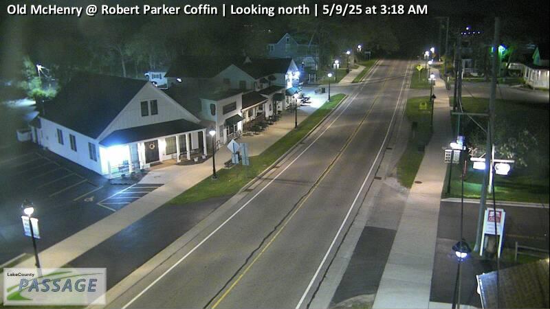 WorkingStill imageOld McHenry at Robert Parker Coffin, looking north
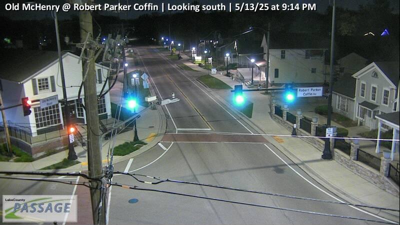 WorkingStill imageOld McHenry at Robert Parker Coffin, looking south
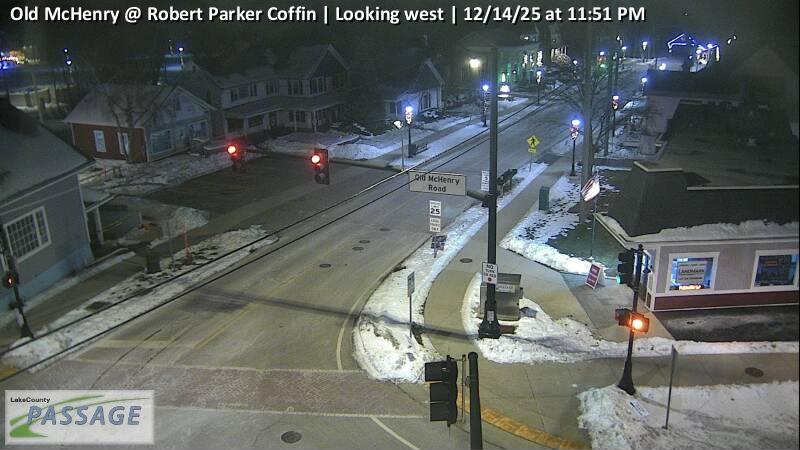 WorkingStill imageOld McHenry at Robert Parker Coffin, looking west
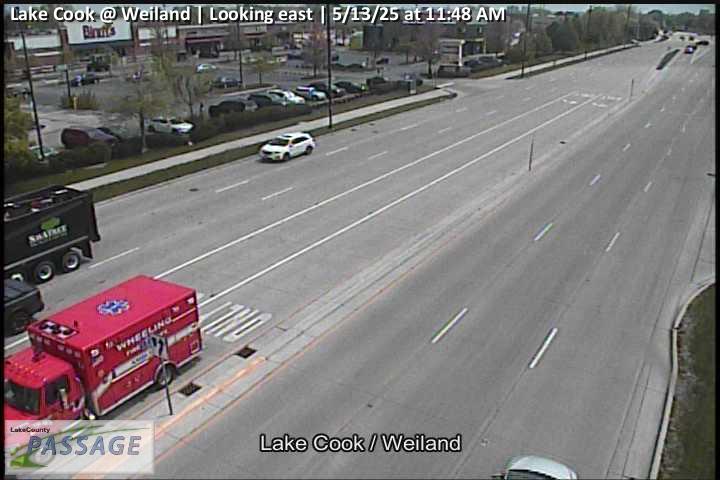 WorkingStill imageLake Cook at Weiland, looking east
 WorkingStill imageLake Cook at Weiland, looking north
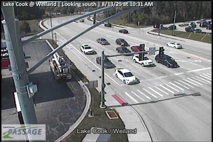 WorkingStill imageLake Cook at Weiland, looking south
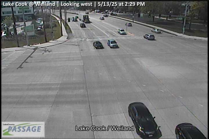 WorkingStill imageLake Cook at Weiland, looking west
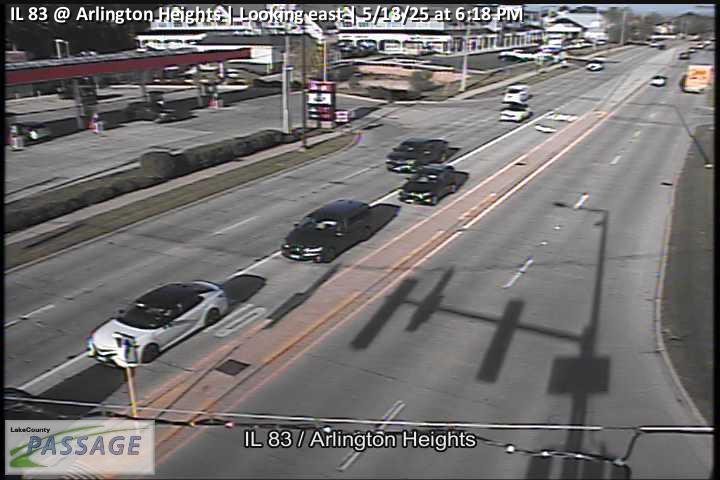 WorkingStill imageIL 83 at Arlington Heights, looking east
 WorkingStill imageIL 83 at Arlington Heights, looking north
 WorkingStill imageIL 83 at Arlington Heights, looking south
 WorkingStill imageIL 83 at Arlington Heights, looking west
 WorkingStill imageIL 53 at IL 83, looking north
 WorkingStill imageIL 53 at IL 83, looking south
 WorkingStill imageIL 53 at IL 83, looking west
 WorkingStill imageIL 83 at Buffalo Grove, looking east
 WorkingStill imageIL 83 at Buffalo Grove, looking north
 WorkingStill imageIL 83 at Buffalo Grove, looking south
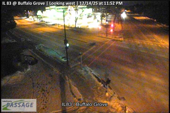 WorkingStill imageIL 83 at Buffalo Grove, looking west
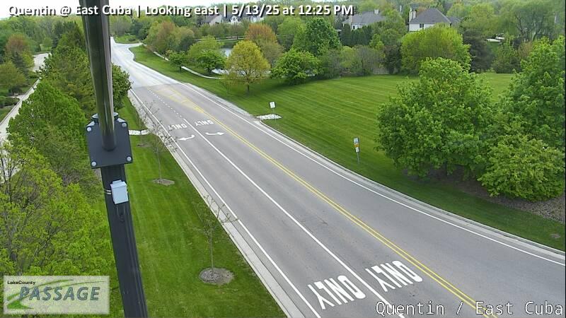 WorkingStill imageQuentin at East Cuba, looking east
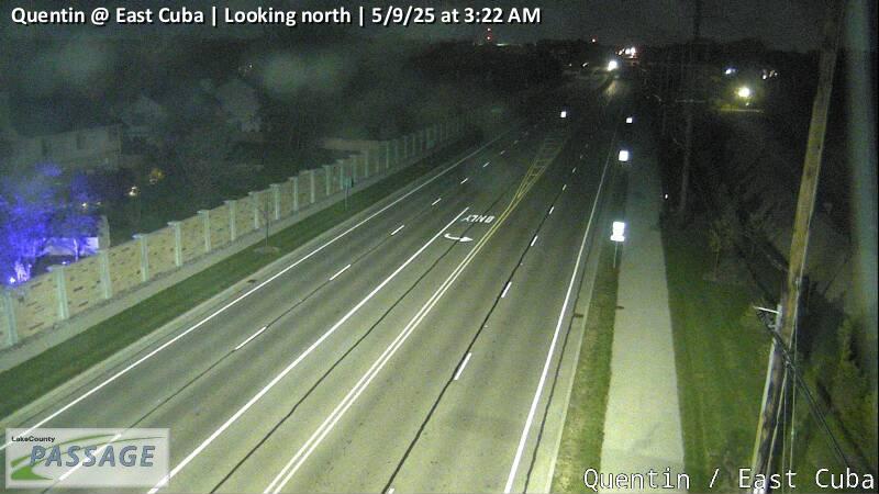 WorkingStill imageQuentin at East Cuba, looking north
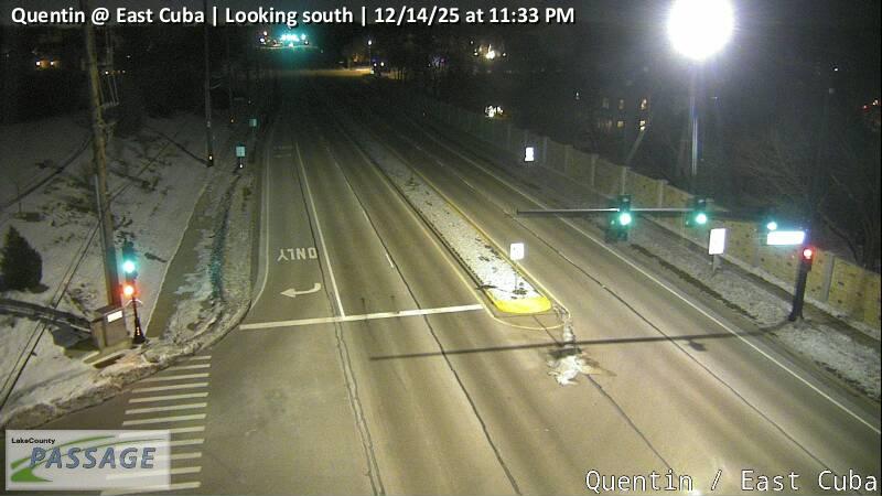 WorkingStill imageQuentin at East Cuba, looking south
 WorkingStill imageQuentin at East Cuba, looking west
_cctv_East_Leg.jpg) WorkingStill imageUS 14 at Hillside (Wireless), looking east
WorkingStill imageUS 14 at Hillside (Wireless), looking east_cctv_West_Leg.jpg) WorkingStill imageUS 14 at Hillside (Wireless), looking west
WorkingStill imageUS 14 at Hillside (Wireless), looking west WorkingStill imageIL 83 at Deerfield, looking east
 WorkingStill imageIL 83 at Deerfield, looking north
 WorkingStill imageIL 83 at Deerfield, looking south
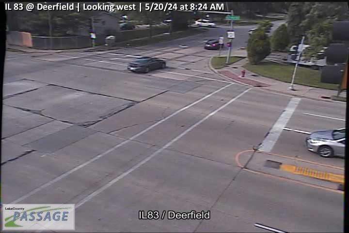 WorkingStill imageIL 83 at Deerfield, looking west
 WorkingStill imageI-290 at Higgins SB Ent, Cook County
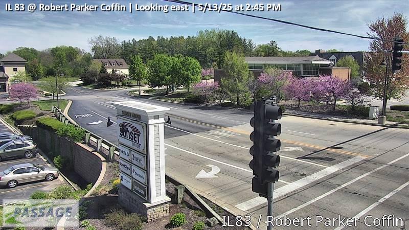 WorkingStill imageIL 83 at Robert Parker Coffin, looking east
 WorkingStill imageIL 83 at Robert Parker Coffin, looking north
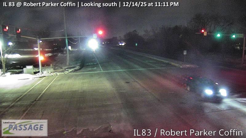 WorkingStill imageIL 83 at Robert Parker Coffin, looking south
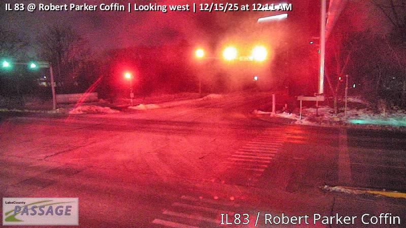 WorkingStill imageIL 83 at Robert Parker Coffin, looking west
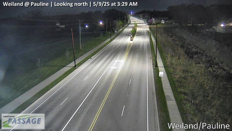 WorkingStill imageWeiland at Pauline, looking north
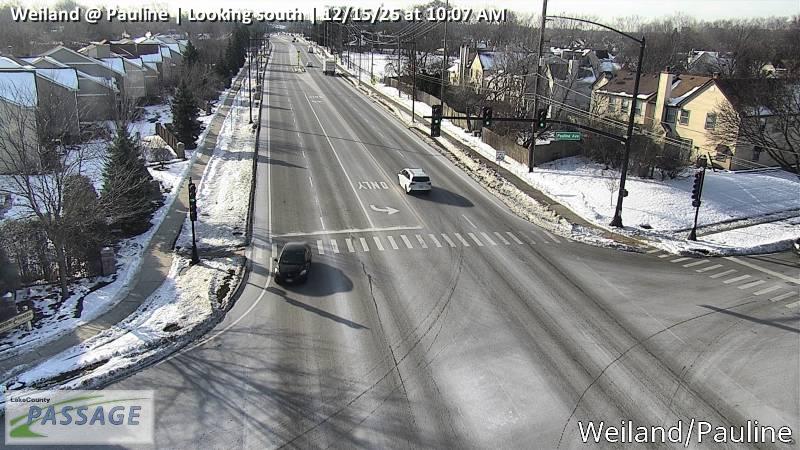 WorkingStill imageWeiland at Pauline, looking south
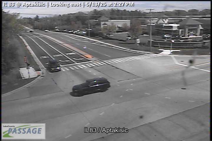 WorkingStill imageIL 83 at Aptakisic, looking east
 WorkingStill imageIL 83 at Aptakisic, looking north
 WorkingStill imageIL 83 at Aptakisic, looking south
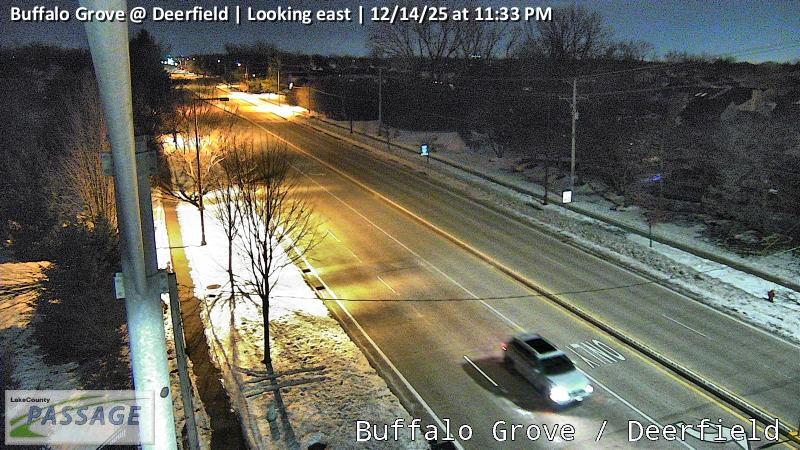 WorkingStill imageBuffalo Grove at Deerfield, looking east
 WorkingStill imageBuffalo Grove at Deerfield, looking north
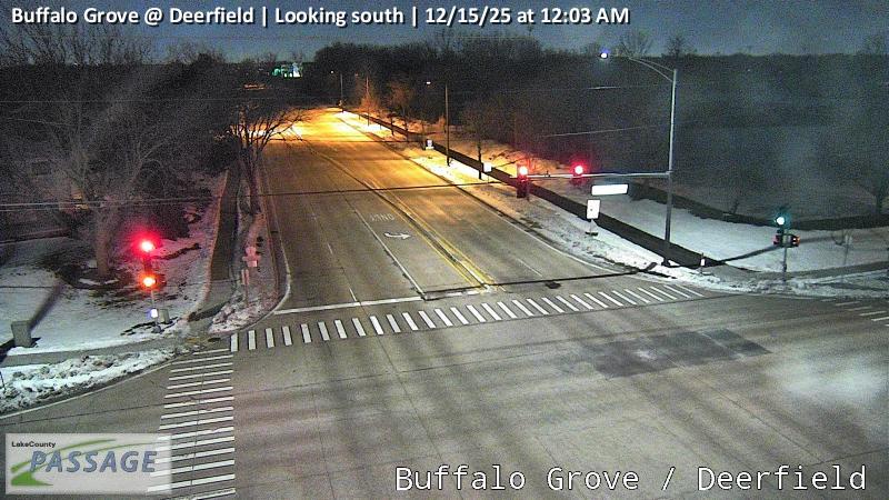 WorkingStill imageBuffalo Grove at Deerfield, looking south
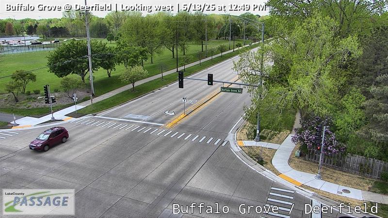 WorkingStill imageBuffalo Grove at Deerfield, looking west
_cctv_East_Leg.jpg) WorkingStill imageUS 14 at Lake Cook (Cell), looking east
WorkingStill imageUS 14 at Lake Cook (Cell), looking east_cctv_North_Leg.jpg) WorkingStill imageUS 14 at Lake Cook (Cell), looking north
WorkingStill imageUS 14 at Lake Cook (Cell), looking north_cctv_South_Leg.jpg) WorkingStill imageUS 14 at Lake Cook (Cell), looking south
WorkingStill imageUS 14 at Lake Cook (Cell), looking south_cctv_West_Leg.jpg) WorkingStill imageUS 14 at Lake Cook (Cell), looking west
WorkingStill imageUS 14 at Lake Cook (Cell), looking west_cctv_East_Leg.jpg) WorkingStill imageEla at Cuba (Wireless), looking east
WorkingStill imageEla at Cuba (Wireless), looking east_cctv_North_Leg.jpg) WorkingStill imageEla at Cuba (Wireless), looking north
WorkingStill imageEla at Cuba (Wireless), looking north_cctv_South_Leg.jpg) WorkingStill imageEla at Cuba (Wireless), looking south
WorkingStill imageEla at Cuba (Wireless), looking south_cctv_West_Leg.jpg) WorkingStill imageEla at Cuba (Wireless), looking west
WorkingStill imageEla at Cuba (Wireless), looking west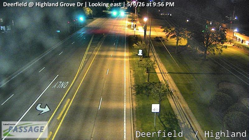 WorkingStill imageDeerfield at Highland Grove Dr, looking east
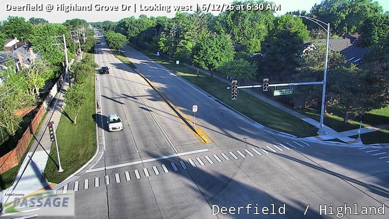 WorkingStill imageDeerfield at Highland Grove Dr, looking west
 WorkingStill imageBuffalo Grove at Thompson, looking north
 WorkingStill imageBuffalo Grove at Thompson, looking south
 WorkingStill imageAptakisic at Brandywyn, looking east
 WorkingStill imageAptakisic at Brandywyn, looking west
 WorkingStill imageI-290 at Schaumburg Rd. DMS 35, Cook County
_cctv_East_Leg.jpg) WorkingStill imageIL 59 at Lake Cook (Cell), looking east
WorkingStill imageIL 59 at Lake Cook (Cell), looking east_cctv_North_Leg.jpg) WorkingStill imageIL 59 at Lake Cook (Cell), looking north
WorkingStill imageIL 59 at Lake Cook (Cell), looking north_cctv_South_Leg.jpg) WorkingStill imageIL 59 at Lake Cook (Cell), looking south
WorkingStill imageIL 59 at Lake Cook (Cell), looking south_cctv_West_Leg.jpg) WorkingStill imageIL 59 at Lake Cook (Cell), looking west
WorkingStill imageIL 59 at Lake Cook (Cell), looking west WorkingStill imageDeerfield at Weiland, looking east
 WorkingStill imageDeerfield at Weiland, looking north
 WorkingStill imageDeerfield at Weiland, looking south
 WorkingStill imageDeerfield at Weiland, looking west
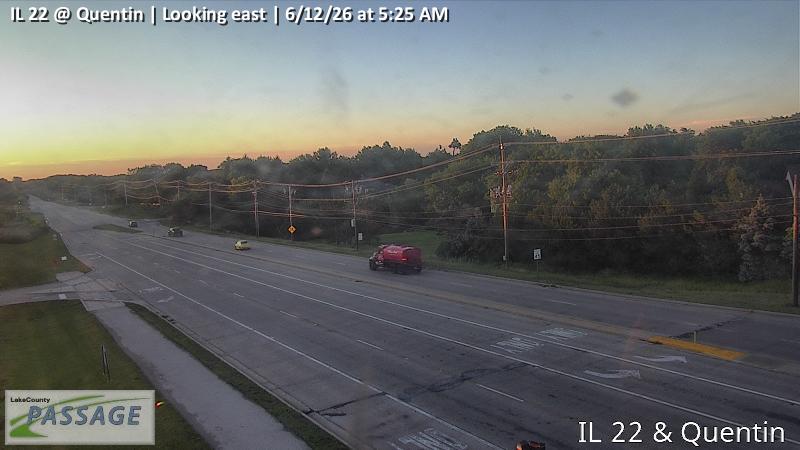 WorkingStill imageIL 22 at Quentin, looking east
 WorkingStill imageIL 22 at Quentin, looking north
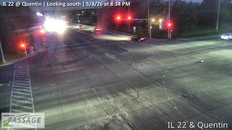 WorkingStill imageIL 22 at Quentin, looking south
 WorkingStill imageIL 22 at Quentin, looking west
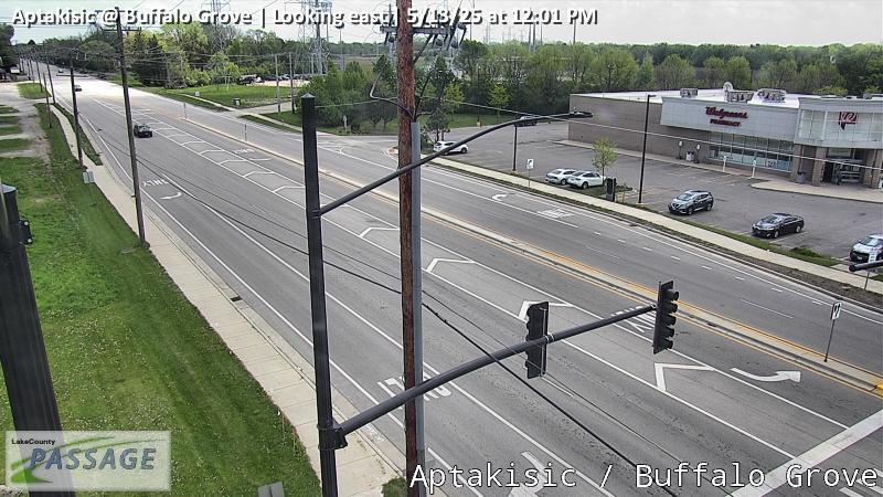 WorkingStill imageAptakisic at Buffalo Grove, looking east
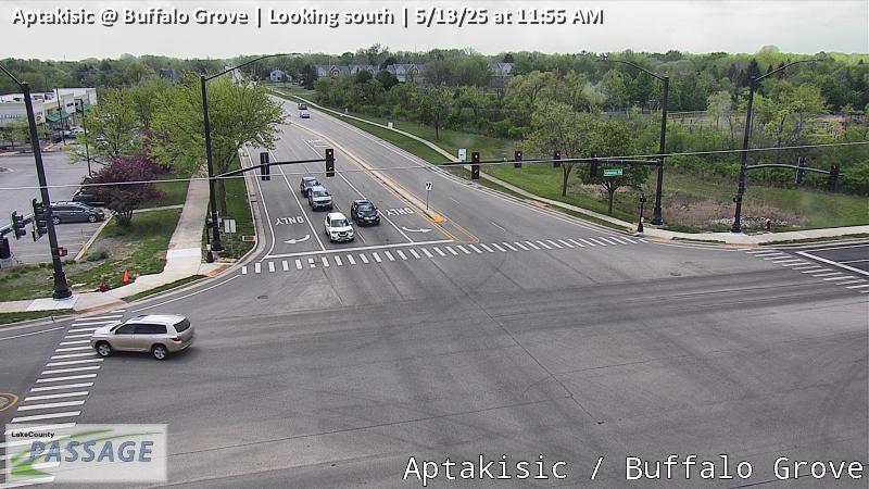 WorkingStill imageAptakisic at Buffalo Grove, looking south
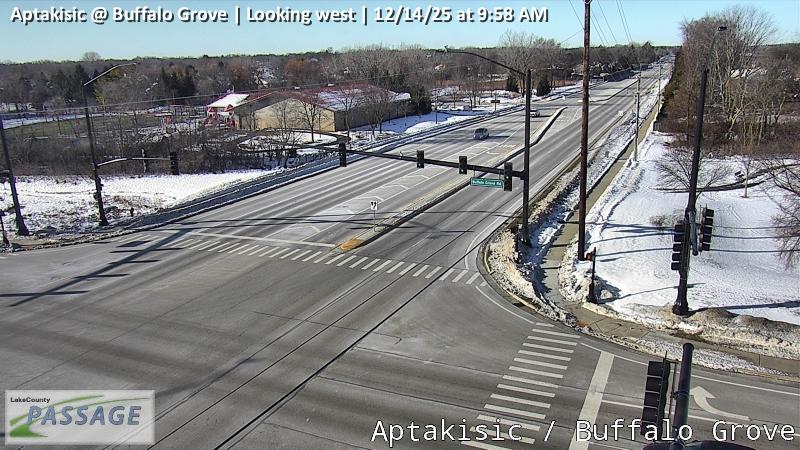 WorkingStill imageAptakisic at Buffalo Grove, looking west
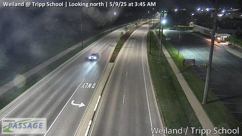 WorkingStill imageWeiland at Tripp School, looking north
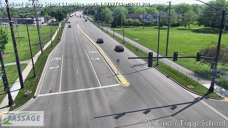 WorkingStill imageWeiland at Tripp School, looking south
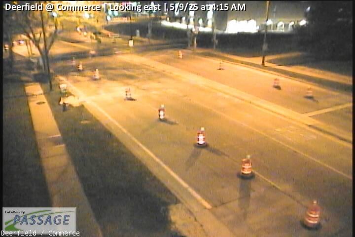 WorkingStill imageDeerfield at Commerce, looking east
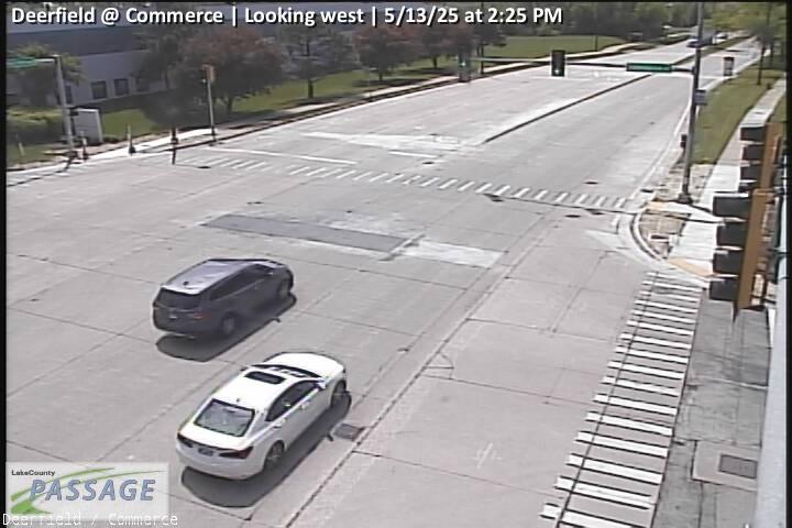 WorkingStill imageDeerfield at Commerce, looking west
 WorkingStill imageI-90 at Barrington Road, Cook County, looking west
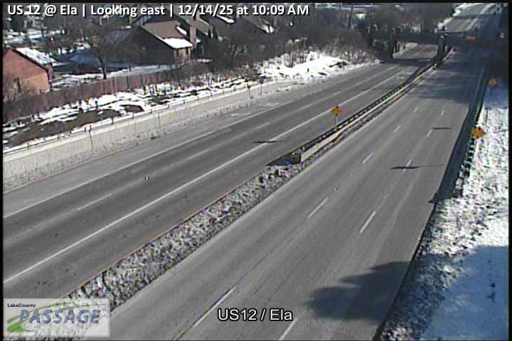 WorkingStill imageUS 12 at Ela, looking east
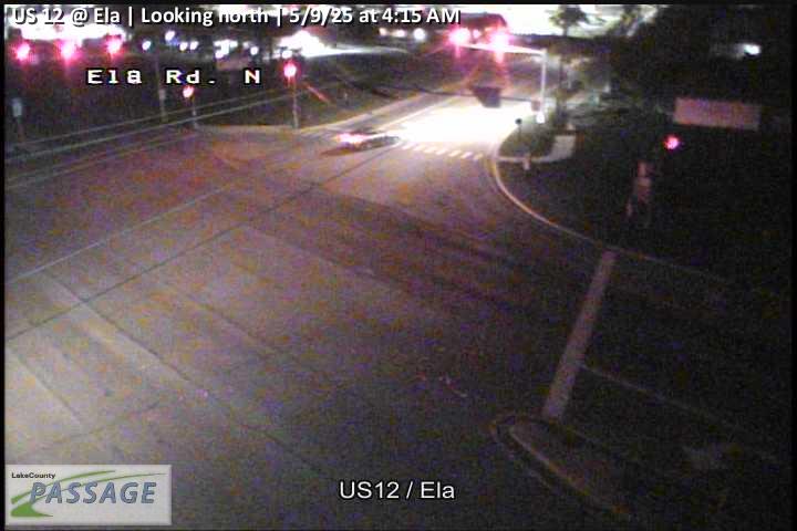 WorkingStill imageUS 12 at Ela, looking north
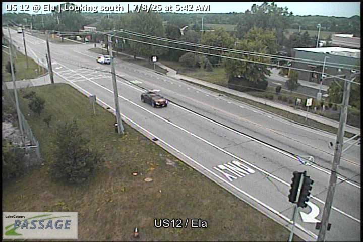 WorkingStill imageUS 12 at Ela, looking south
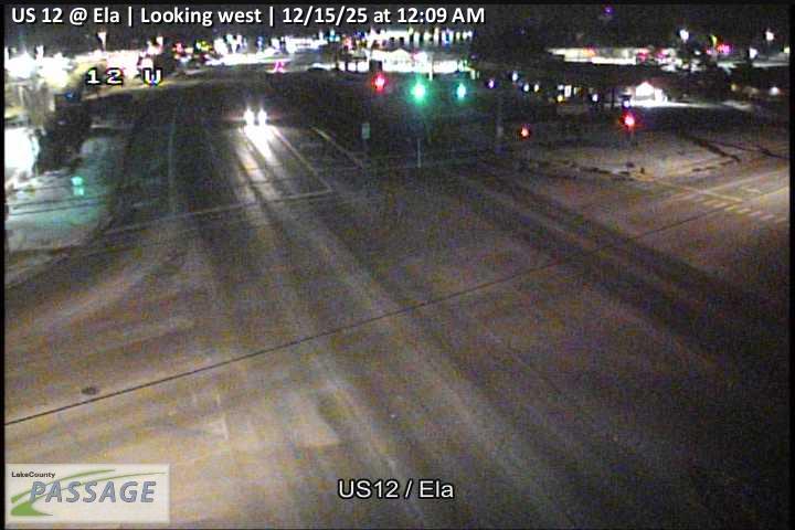 WorkingStill imageUS 12 at Ela, looking west
 WorkingStill imageAptakisic at Prairie, looking east
 WorkingStill imageAptakisic at Prairie, looking north
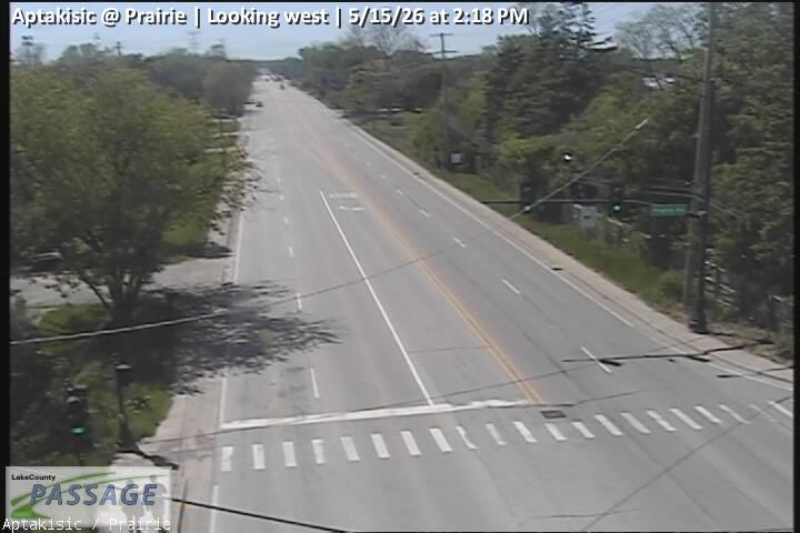 WorkingStill imageAptakisic at Prairie, looking west
 WorkingStill imageIL 22 at IL 83, looking east
 WorkingStill imageIL 22 at IL 83, looking north
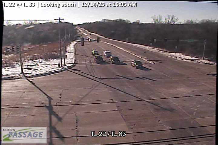 WorkingStill imageIL 22 at IL 83, looking south
 WorkingStill imageIL 22 at IL 83, looking west
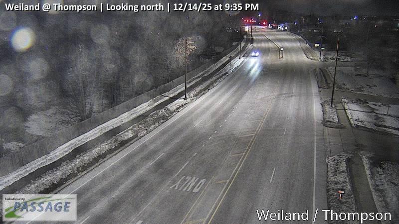 WorkingStill imageWeiland at Thompson, looking north
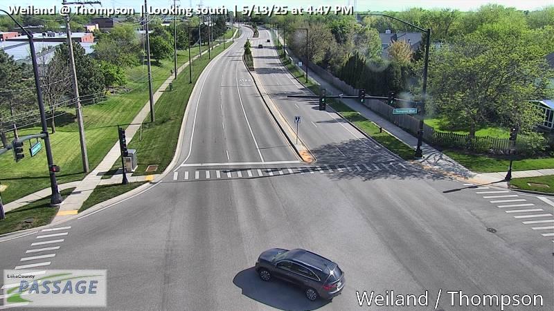 WorkingStill imageWeiland at Thompson, looking south
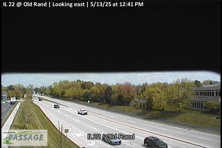 WorkingStill imageIL 22 at Old Rand, looking east
 WorkingStill imageIL 22 at Old Rand, looking north
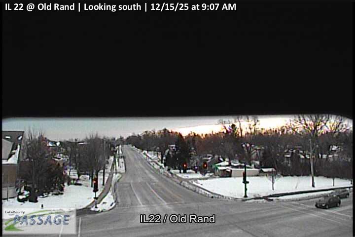 WorkingStill imageIL 22 at Old Rand, looking south
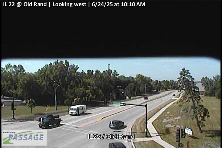 WorkingStill imageIL 22 at Old Rand, looking west
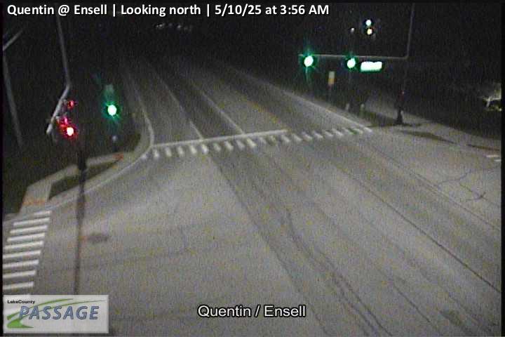 WorkingStill imageQuentin at Ensell, looking north
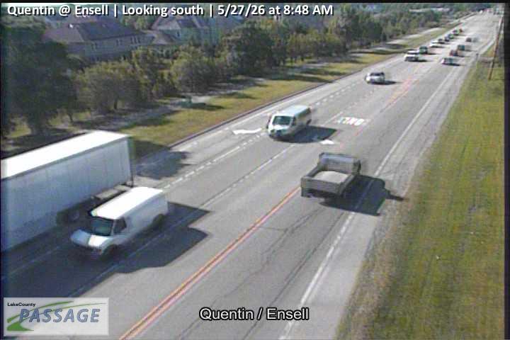 WorkingStill imageQuentin at Ensell, looking south
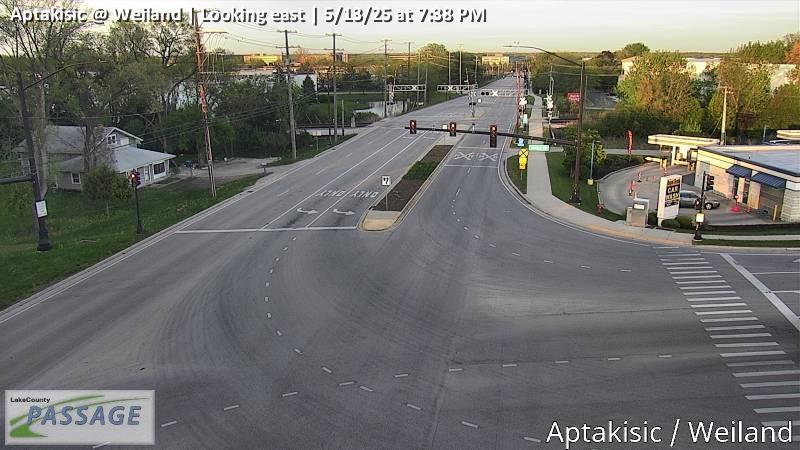 WorkingStill imageAptakisic at Weiland, looking east
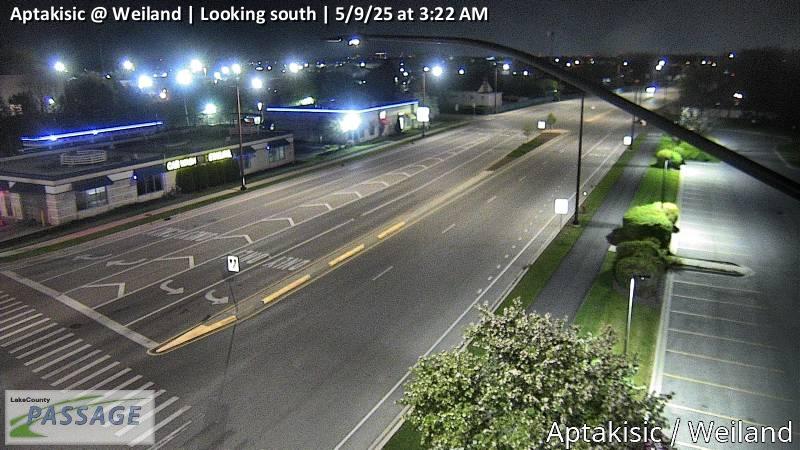 WorkingStill imageAptakisic at Weiland, looking south
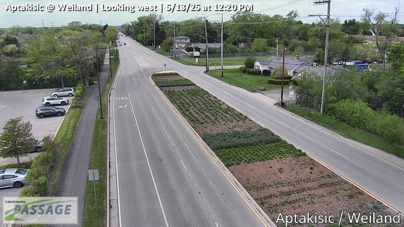 WorkingStill imageAptakisic at Weiland, looking west
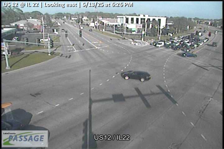 WorkingStill imageUS 12 at IL 22, looking east
 WorkingStill imageUS 12 at IL 22, looking north
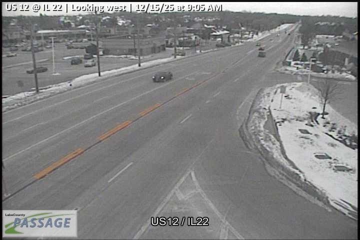 WorkingStill imageUS 12 at IL 22, looking west
_cctv_East_Leg.jpg) WorkingStill imageLake Cook at Hart (Cell), looking east
WorkingStill imageLake Cook at Hart (Cell), looking east_cctv_North_Leg.jpg) WorkingStill imageLake Cook at Hart (Cell), looking north
WorkingStill imageLake Cook at Hart (Cell), looking north_cctv_West_Leg.jpg) WorkingStill imageLake Cook at Hart (Cell), looking west
WorkingStill imageLake Cook at Hart (Cell), looking west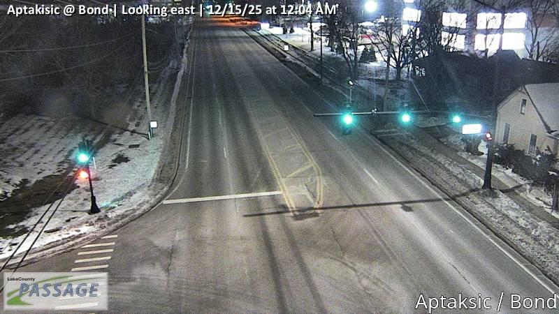 WorkingStill imageAptakisic at Bond, looking east
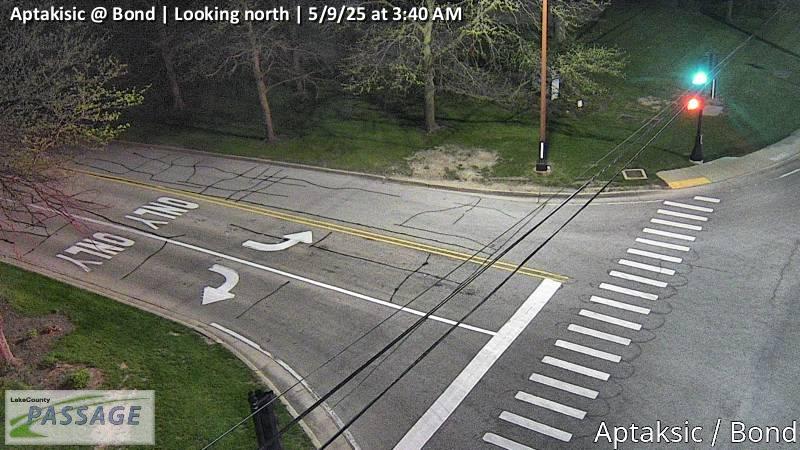 WorkingStill imageAptakisic at Bond, looking north
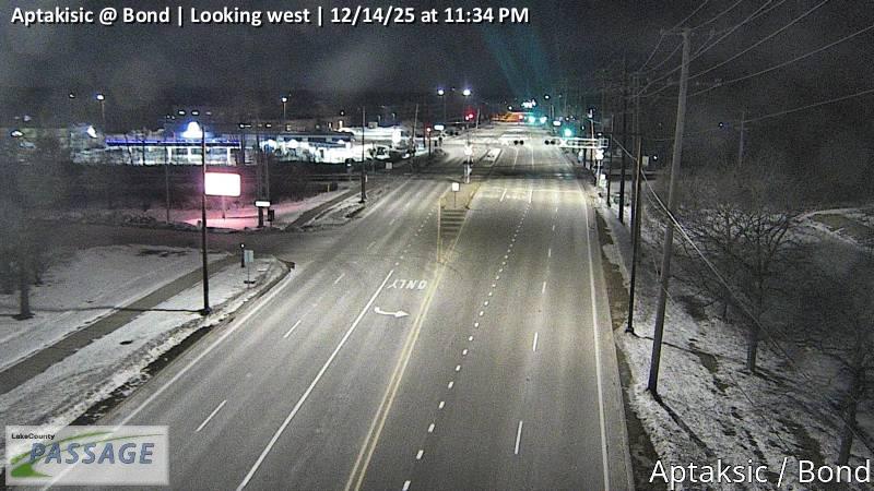 WorkingStill imageAptakisic at Bond, looking west
 WorkingStill imageIL-53 at 0.6 mi n/o Biesterfield Rd., Cook County
_cctv_North_Leg.jpg) WorkingStill imageHart at Barrington HS (Cell), looking north
WorkingStill imageHart at Barrington HS (Cell), looking north_cctv_South_Leg.jpg) WorkingStill imageHart at Barrington HS (Cell), looking south
WorkingStill imageHart at Barrington HS (Cell), looking south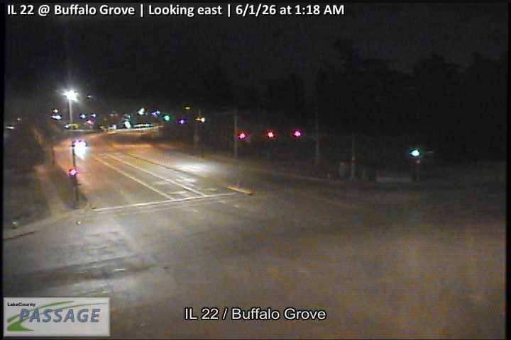 WorkingStill imageIL 22 at Buffalo Grove, looking east
 WorkingStill imageIL 22 at Buffalo Grove, looking north
 WorkingStill imageIL 22 at Buffalo Grove, looking south
 WorkingStill imageIL 22 at Buffalo Grove, looking west
 WorkingStill imageIL 21 at Lake Cook, looking east
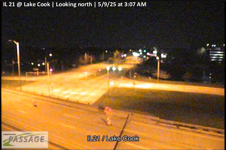 WorkingStill imageIL 21 at Lake Cook, looking north
 WorkingStill imageIL 21 at Lake Cook, looking south
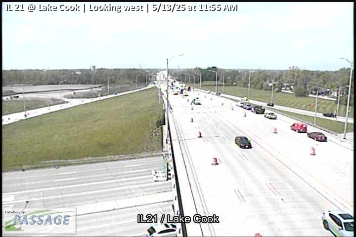 WorkingStill imageIL 21 at Lake Cook, looking west
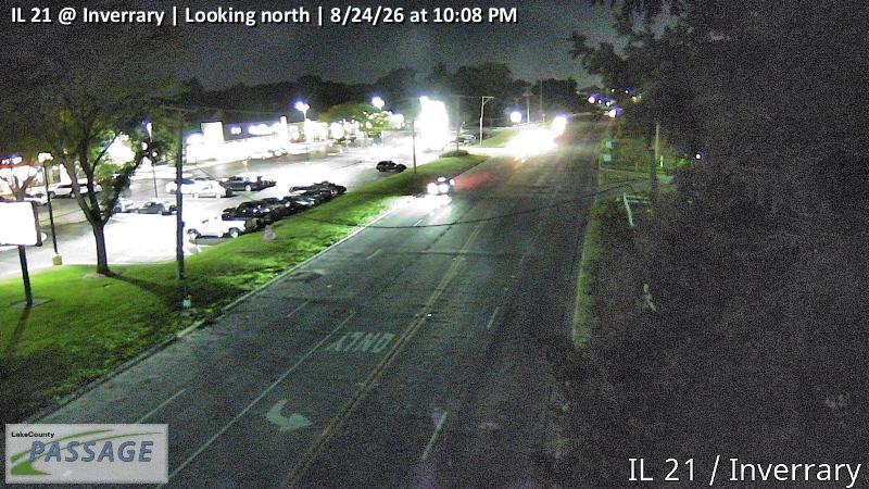 WorkingStill imageIL 21 at Inverrary, looking north
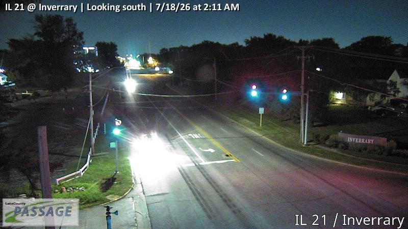 WorkingStill imageIL 21 at Inverrary, looking south
_cctv_East_Leg.jpg) WorkingStill imageIL 59 at Cuba (Wireless), looking east
WorkingStill imageIL 59 at Cuba (Wireless), looking eastNo live video among these cameras. Turn off "Live video only" to see them all.
Best cams to watch
- Aptakisic at Buffalo Grove, looking north — Still image · every 10 min, working 100 % of the time in the last 30 days.
- US 12 at IL 22, looking south — Still image · every 10 min, working 100 % of the time in the last 30 days.
- Aptakisic at Barclay, looking west — Still image · every 10 min, working 100 % of the time in the last 30 days.
Palatine is a large residential village in northwest Cook County, about 67,900 strong at the 2020 Census. It began in 1866 around a Chicago and North Western Railway station, and the line still runs through downtown as Metra’s Union Pacific Northwest route, with a station a short walk from the shops and restaurants of the old town center. William Rainey Harper College, a community college serving the northwest suburbs, has its main campus here. The village is also the home of Weber, the grill maker, and from 1914 to 1931 it hosted the Cook County Fair.
Several important roads cross Palatine. Illinois Route 53 runs through it as an expressway, with interchanges at US 14 (Northwest Highway) and US 12 (Rand Road), both of which slant diagonally through the village toward Chicago. Dundee Road, Illinois 68, crosses east–west along the northern part of town.
Palatine’s own cameras, close to sixty, are Illinois DOT views passed along by the Gateway traveler information network to public maps such as Travel Midwest. These are traffic views of expressway lanes and junctions rather than downtown streets. They refresh at intervals, so you may be looking at a recent still image instead of live motion.
Worth knowing
- Palatine is on Central Time; June evenings stay bright past eight, while December dusk arrives before the evening commute ends.
- Route 53 and Northwest Highway carry heavy commuter traffic on weekday mornings and late afternoons.
- Snow showers in winter can slow the expressway, and the cameras help show conditions before you go.
Arlington Heights lies to the east and Schaumburg, with Woodfield Mall, to the south, so cameras from those communities share this area’s radius. A bit farther north, Route 53 ends near Long Grove, where the countryside gets quieter and the road network thins out. If you are planning a drive into the city, following Northwest Highway or Route 53 on the map gives a sense of traffic all the way in.
Sources: Palatine, Illinois – Wikipedia · Illinois Route 53 – Wikipedia.
Nearby places
- Waukegan (620)
- Wheaton (617)
- North Peoria (554)
- Peoria (553)
- Naperville (475)
- Gurnee (386)
- Grayslake (346)
- Round Lake Beach (344)
Questions about Palatine
How many live cameras are there in Palatine?
LiveLocation lists 200 cameras in and around Palatine, United States: 0 live video, 200 still images. 200 of them were live or showing a fresh image at the last check.
Who runs the cameras in Palatine?
All of them come from Illinois DOT (200). Each camera plays straight from the agency or owner that runs it, with credit. Illinois DOT
What can I see on the Palatine cameras?
All of them show traffic and highway (200). Good ones to start with: Aptakisic at Buffalo Grove, looking north and US 12 at IL 22, looking south. Aptakisic at Buffalo Grove, looking north US 12 at IL 22, looking south
Can I watch live video from Palatine?
Not yet: the cameras here send still images that refresh about every 10 minutes. The map can show only live-video cameras nearby. Live video on the map
What time is it in Palatine, and when is it light?
Palatine is on America/Chicago time. On October 7 the sun rises at 6:55 AM and sets at 6:23 PM, so still images are clearest between those times. Road cameras show the most traffic in the weekday morning and evening rush hours.
Which places near Palatine also have cameras?
The nearest are Rolling Meadows (2.1 mi away, 18 cameras), Arlington Heights (3.1 mi away, 330 cameras) and Buffalo Grove (4.8 mi away, 190 cameras). Rolling Meadows Arlington Heights Buffalo Grove
How can I see the Palatine cameras on a map?
The map at the top of this page shows all 200 of them. The live camera radar centers on Palatine and lists every camera within 5 to 250 miles, nearest first, with filters for live video, traffic, nature and more. Open the radar on Palatine
Place names and locations: GeoNames, licensed under CC BY 4.0.