Live cameras in Buffalo Grove, United States
190 cameras: 0 live video, 190 still images · 190 working now · updated Oct 8, 03:32 UTC
Buffalo Grove has 190 live cameras on LiveLocation right now: 0 live video, 190 still images. Good places to start: Aptakisic at Buffalo Grove, looking north, Aptakisic at Barclay, looking west, IL 21-US 45 at Olde Half Day Rd, looking north. Local time is 10:32 PM (America/Chicago). Today the sun rises at 6:55 AM and sets at 6:23 PM.
Buffalo Grove live cameras
Every Buffalo Grove live camera we know of: 0 live video, 190 still images. 190 were working at the last check. Buffalo Grove is home to about 41,000 people.
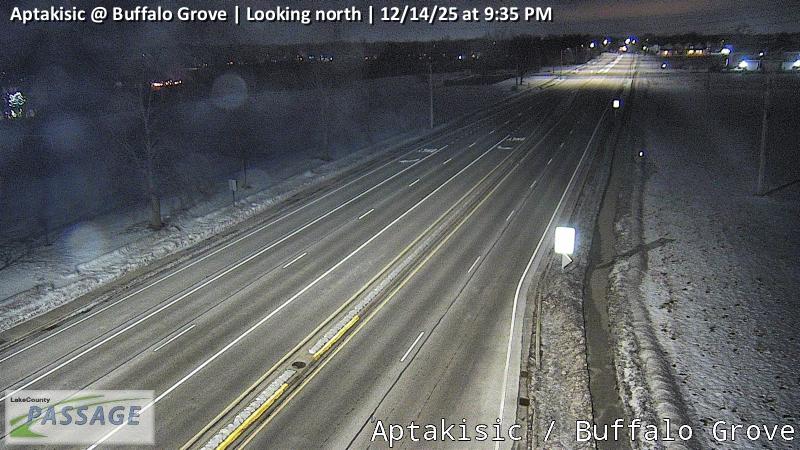 WorkingStill imageAptakisic at Buffalo Grove, looking north
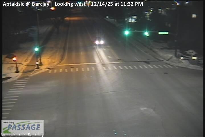 WorkingStill imageAptakisic at Barclay, looking west
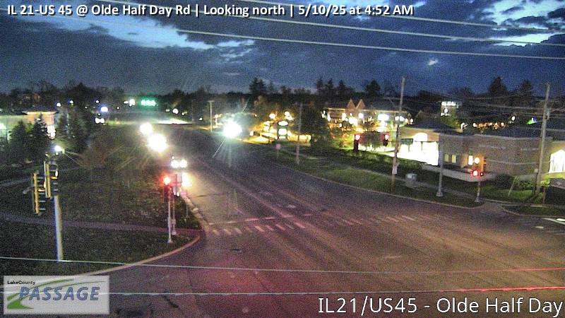 WorkingStill imageIL 21-US 45 at Olde Half Day Rd, looking north
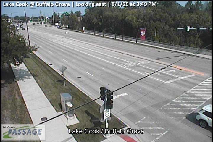 WorkingStill imageLake Cook at Buffalo Grove, looking east
 WorkingStill imageLake Cook at Buffalo Grove, looking north
 WorkingStill imageLake Cook at Buffalo Grove, looking south
 WorkingStill imageLake Cook at Buffalo Grove, looking west
 WorkingStill imageLake Cook at Weiland, looking east
 WorkingStill imageLake Cook at Weiland, looking north
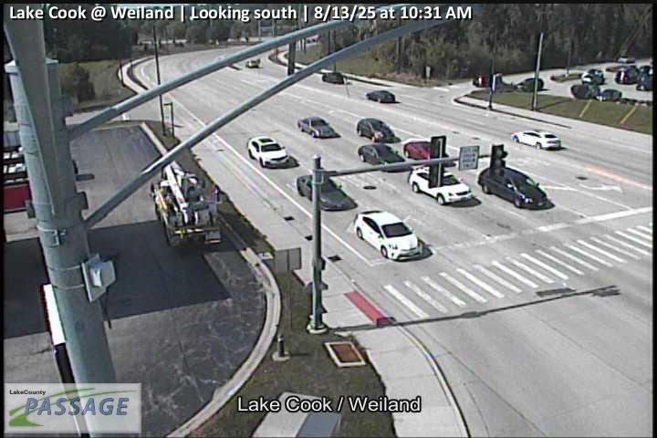 WorkingStill imageLake Cook at Weiland, looking south
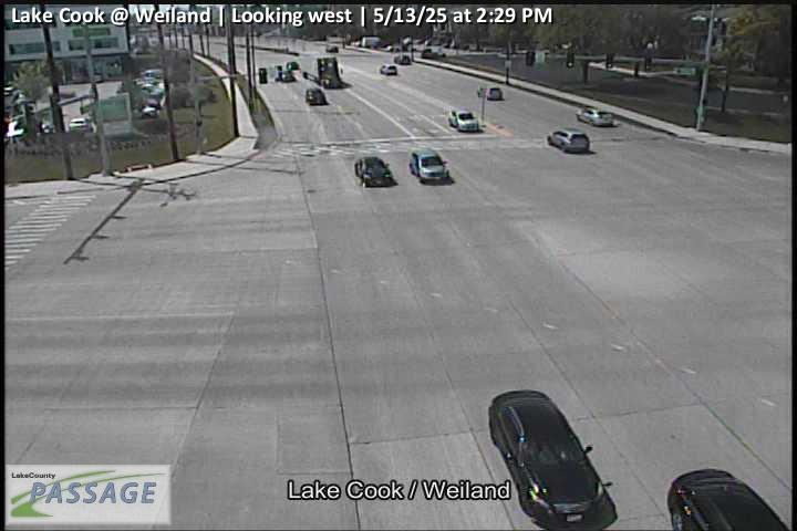 WorkingStill imageLake Cook at Weiland, looking west
_cctv_North_Leg.jpg) WorkingStill imageBuffalo Grove at Old Checker (Cell), looking north
WorkingStill imageBuffalo Grove at Old Checker (Cell), looking north_cctv_South_Leg.jpg) WorkingStill imageBuffalo Grove at Old Checker (Cell), looking south
WorkingStill imageBuffalo Grove at Old Checker (Cell), looking south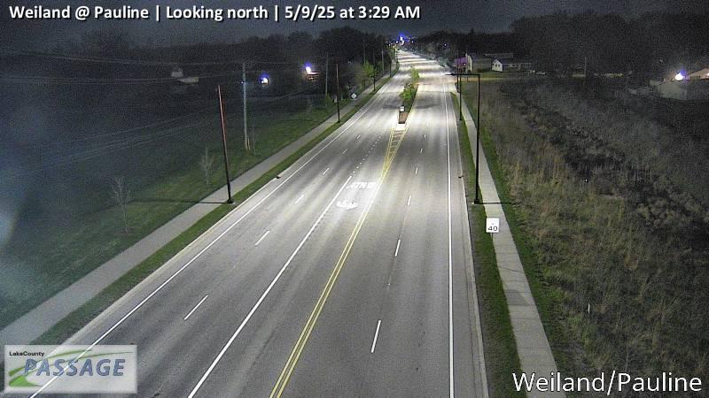 WorkingStill imageWeiland at Pauline, looking north
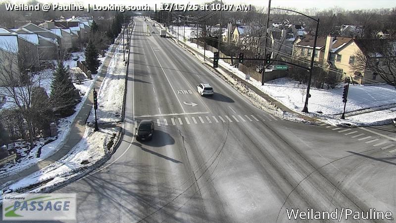 WorkingStill imageWeiland at Pauline, looking south
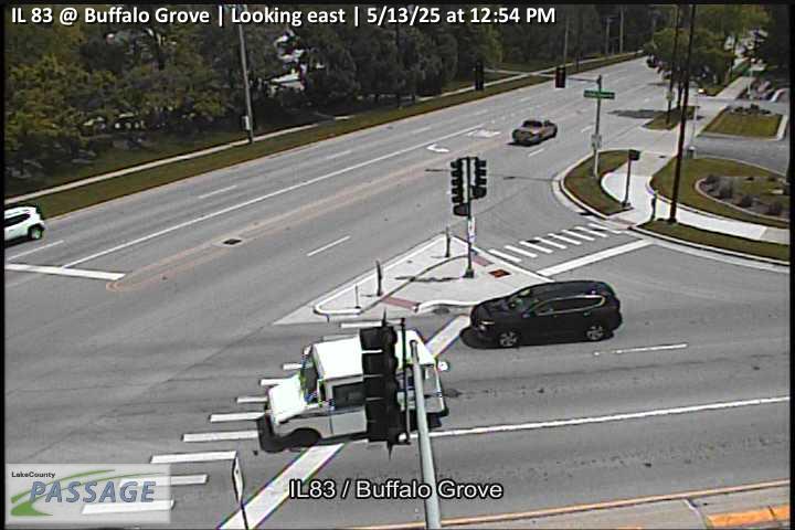 WorkingStill imageIL 83 at Buffalo Grove, looking east
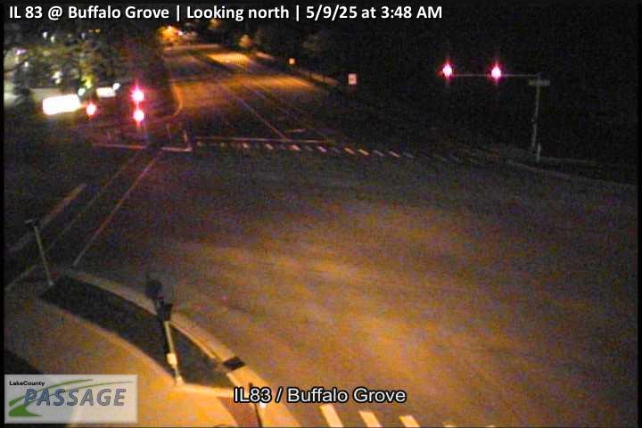 WorkingStill imageIL 83 at Buffalo Grove, looking north
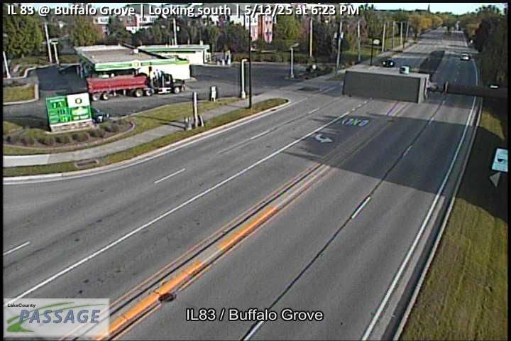 WorkingStill imageIL 83 at Buffalo Grove, looking south
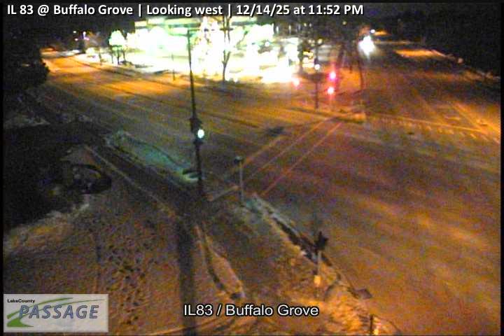 WorkingStill imageIL 83 at Buffalo Grove, looking west
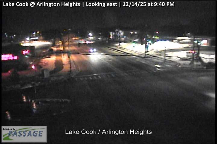 WorkingStill imageLake Cook at Arlington Heights, looking east
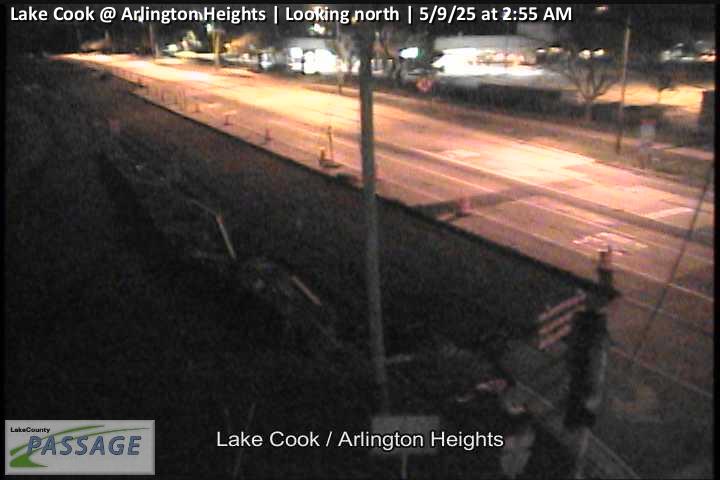 WorkingStill imageLake Cook at Arlington Heights, looking north
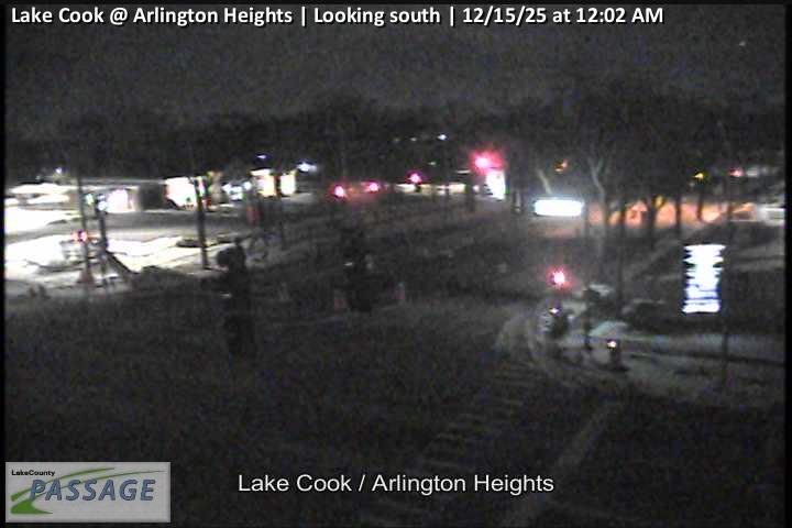 WorkingStill imageLake Cook at Arlington Heights, looking south
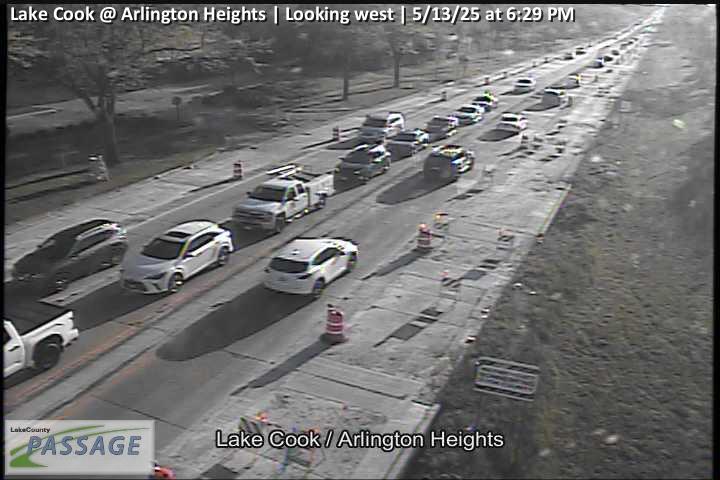 WorkingStill imageLake Cook at Arlington Heights, looking west
 WorkingStill imageDeerfield at Highland Grove Dr, looking east
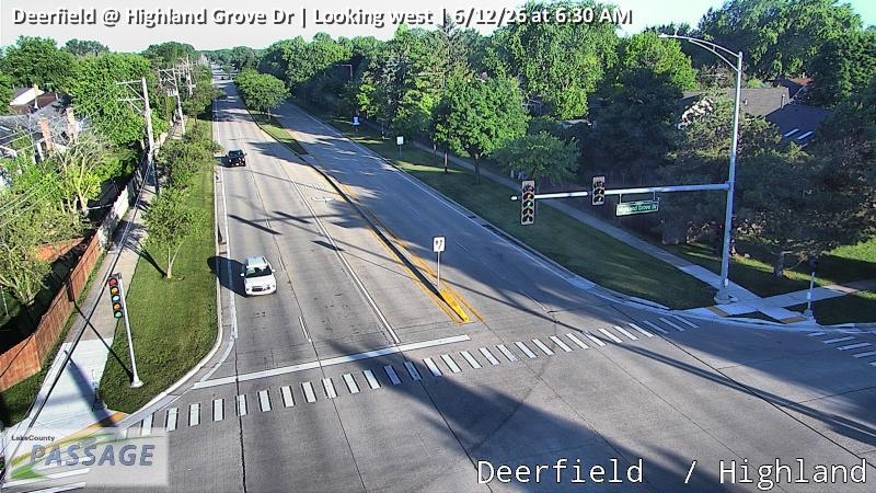 WorkingStill imageDeerfield at Highland Grove Dr, looking west
 WorkingStill imageArlington Heights at Checker, looking east
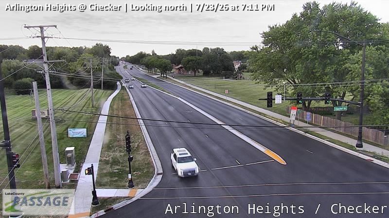 WorkingStill imageArlington Heights at Checker, looking north
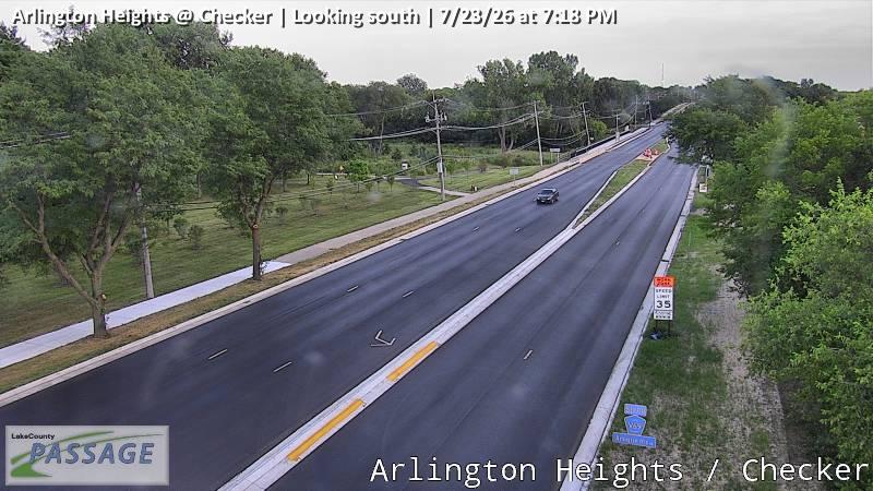 WorkingStill imageArlington Heights at Checker, looking south
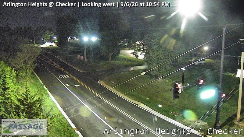 WorkingStill imageArlington Heights at Checker, looking west
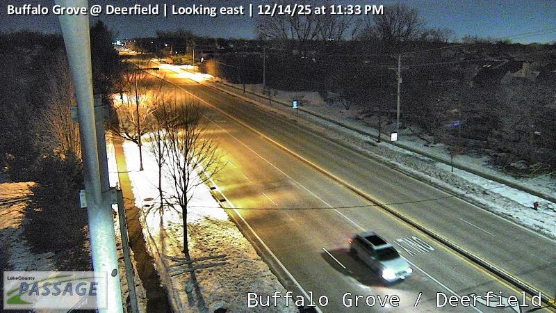 WorkingStill imageBuffalo Grove at Deerfield, looking east
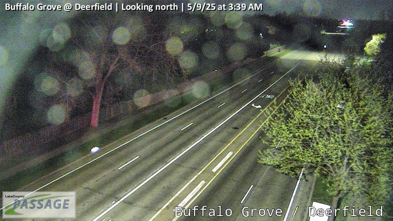 WorkingStill imageBuffalo Grove at Deerfield, looking north
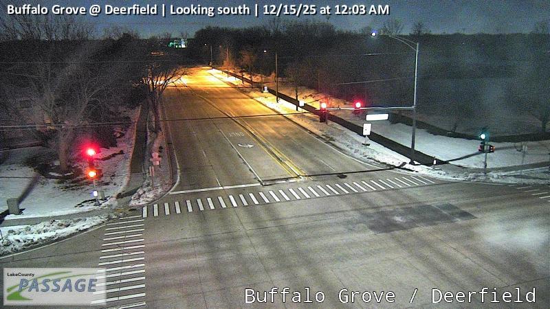 WorkingStill imageBuffalo Grove at Deerfield, looking south
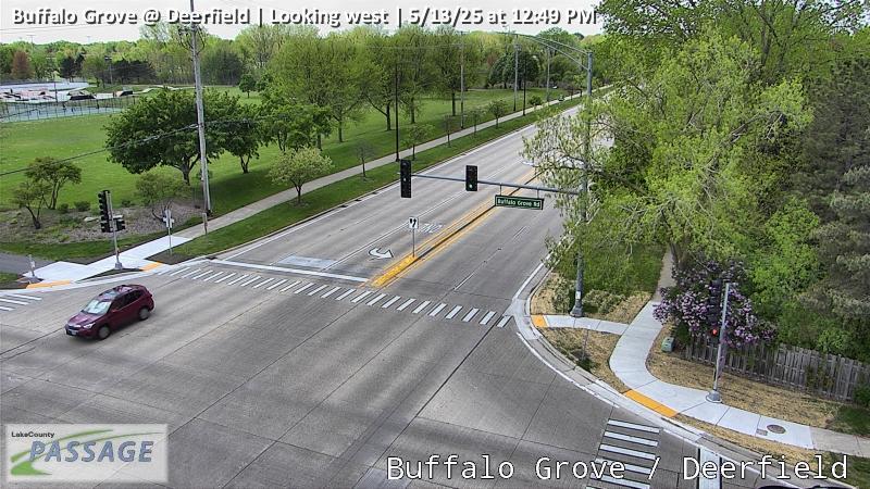 WorkingStill imageBuffalo Grove at Deerfield, looking west
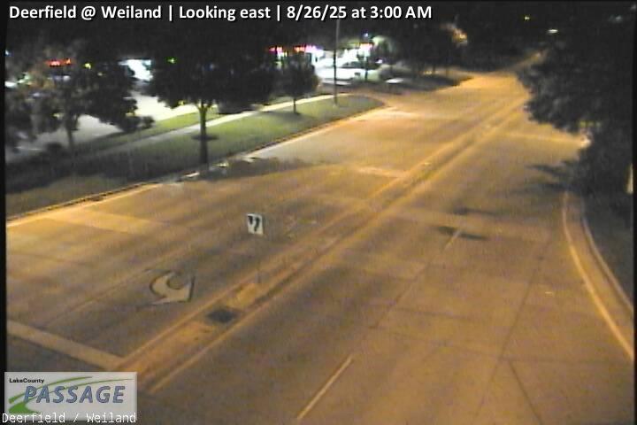 WorkingStill imageDeerfield at Weiland, looking east
 WorkingStill imageDeerfield at Weiland, looking north
 WorkingStill imageDeerfield at Weiland, looking south
 WorkingStill imageDeerfield at Weiland, looking west
 WorkingStill imageIL 83 at Deerfield, looking east
 WorkingStill imageIL 83 at Deerfield, looking north
 WorkingStill imageIL 83 at Deerfield, looking south
 WorkingStill imageIL 83 at Deerfield, looking west
 WorkingStill imageDeerfield at Commerce, looking east
 WorkingStill imageDeerfield at Commerce, looking west
 WorkingStill imageWeiland at Tripp School, looking north
 WorkingStill imageWeiland at Tripp School, looking south
 WorkingStill imageBuffalo Grove at Thompson, looking north
 WorkingStill imageBuffalo Grove at Thompson, looking south
 WorkingStill imageWeiland at Thompson, looking north
 WorkingStill imageWeiland at Thompson, looking south
 WorkingStill imageIL 83 at Arlington Heights, looking east
 WorkingStill imageIL 83 at Arlington Heights, looking north
 WorkingStill imageIL 83 at Arlington Heights, looking south
 WorkingStill imageIL 83 at Arlington Heights, looking west
 WorkingStill imageAptakisic at Prairie, looking east
 WorkingStill imageAptakisic at Prairie, looking north
 WorkingStill imageAptakisic at Prairie, looking west
 WorkingStill imageIL 21 at Inverrary, looking north
 WorkingStill imageIL 21 at Inverrary, looking south
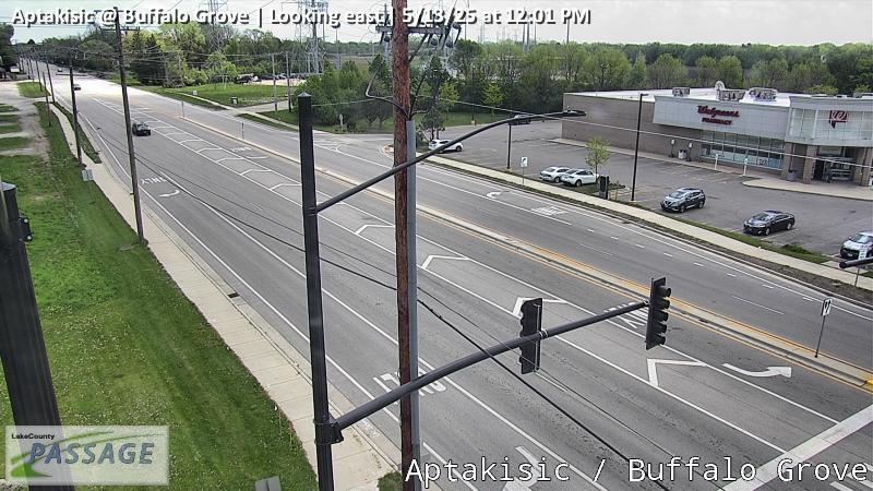 WorkingStill imageAptakisic at Buffalo Grove, looking east
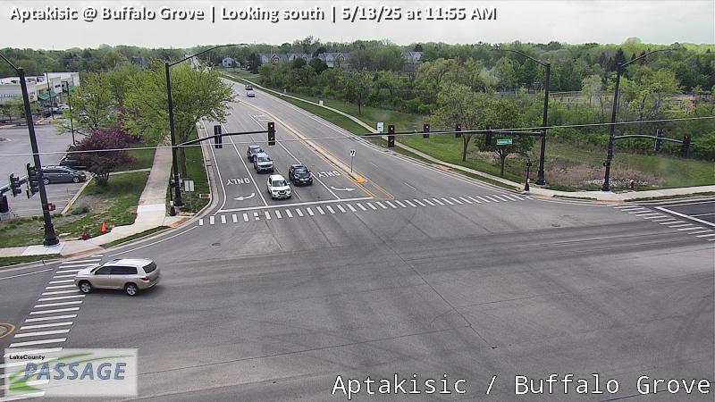 WorkingStill imageAptakisic at Buffalo Grove, looking south
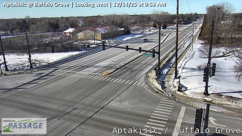 WorkingStill imageAptakisic at Buffalo Grove, looking west
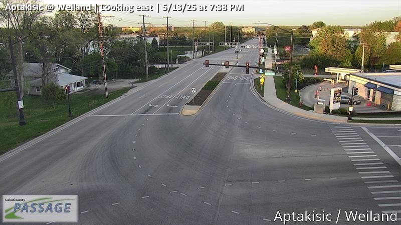 WorkingStill imageAptakisic at Weiland, looking east
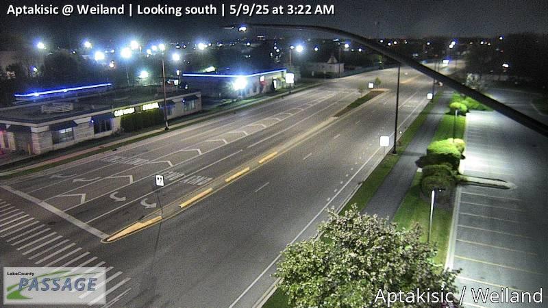 WorkingStill imageAptakisic at Weiland, looking south
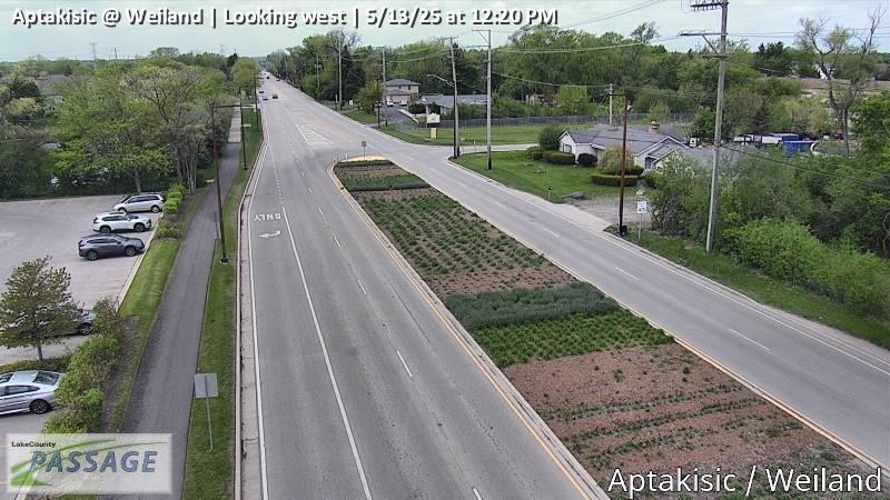 WorkingStill imageAptakisic at Weiland, looking west
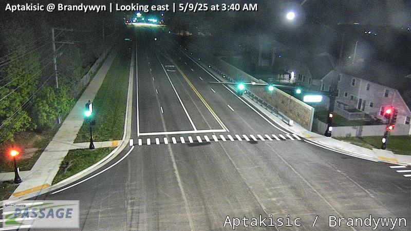 WorkingStill imageAptakisic at Brandywyn, looking east
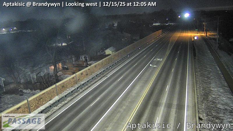 WorkingStill imageAptakisic at Brandywyn, looking west
 WorkingStill imageIL 21 at Deerfield, looking east
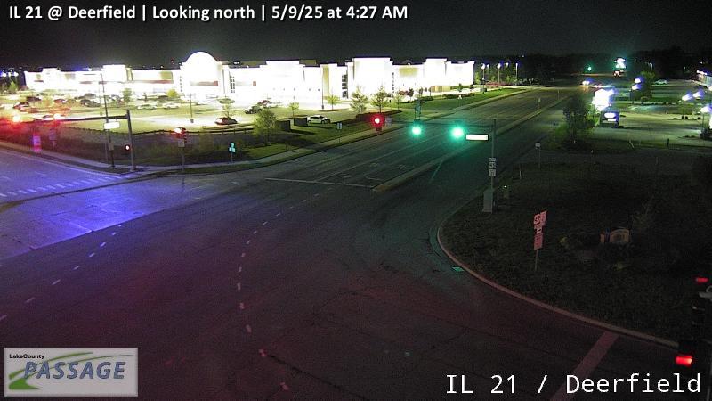 WorkingStill imageIL 21 at Deerfield, looking north
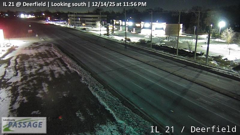 WorkingStill imageIL 21 at Deerfield, looking south
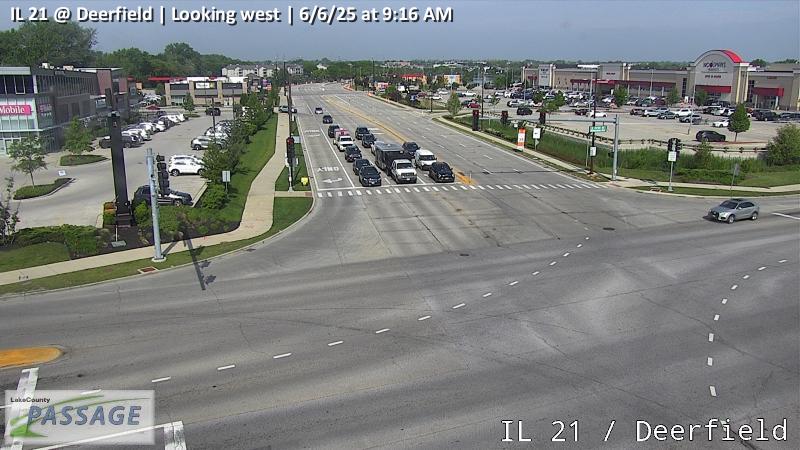 WorkingStill imageIL 21 at Deerfield, looking west
 WorkingStill imageIL 53 at IL 83, looking north
 WorkingStill imageIL 53 at IL 83, looking south
 WorkingStill imageIL 53 at IL 83, looking west
 WorkingStill imageAptakisic at Bond, looking east
 WorkingStill imageAptakisic at Bond, looking north
 WorkingStill imageAptakisic at Bond, looking west
 WorkingStill imageIL 21 at Lake Cook, looking east
 WorkingStill imageIL 21 at Lake Cook, looking north
 WorkingStill imageIL 21 at Lake Cook, looking south
 WorkingStill imageIL 21 at Lake Cook, looking west
 WorkingStill imageAptakisic at Leider, looking east
 WorkingStill imageAptakisic at Leider, looking north
 WorkingStill imageAptakisic at Leider, looking south
 WorkingStill imageAptakisic at Leider, looking west
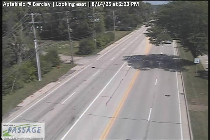 WorkingStill imageAptakisic at Barclay, looking east
 WorkingStill imageAptakisic at Barclay, looking north
 WorkingStill imageAptakisic at Barclay, looking south
 WorkingStill imageIL 83 at Robert Parker Coffin, looking east
 WorkingStill imageIL 83 at Robert Parker Coffin, looking north
 WorkingStill imageIL 83 at Robert Parker Coffin, looking south
 WorkingStill imageIL 83 at Robert Parker Coffin, looking west
 WorkingStill imageAptakisic at Parkway, looking east
 WorkingStill imageAptakisic at Parkway, looking west
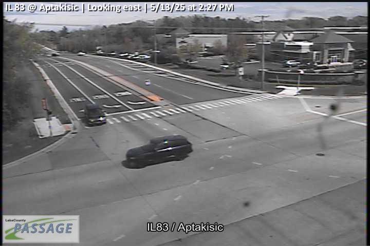 WorkingStill imageIL 83 at Aptakisic, looking east
 WorkingStill imageIL 83 at Aptakisic, looking north
 WorkingStill imageIL 83 at Aptakisic, looking south
 WorkingStill imageIL 21-US 45 at Aptakisic Rd, looking north
 WorkingStill imageIL 21-US 45 at Aptakisic Rd, looking south
 WorkingStill imageIL 21-US 45 at Aptakisic Rd, looking west
 WorkingStill imageOld McHenry at Robert Parker Coffin, looking east
 WorkingStill imageOld McHenry at Robert Parker Coffin, looking north
 WorkingStill imageOld McHenry at Robert Parker Coffin, looking south
 WorkingStill imageOld McHenry at Robert Parker Coffin, looking west
_cctv_East_Leg.jpg) WorkingStill imageIL 53 at Lake Cook (West ramp), looking east
WorkingStill imageIL 53 at Lake Cook (West ramp), looking east_cctv_North_Leg.jpg) WorkingStill imageIL 53 at Lake Cook (West ramp), looking north
WorkingStill imageIL 53 at Lake Cook (West ramp), looking north_cctv_South_Leg.jpg) WorkingStill imageIL 53 at Lake Cook (West ramp), looking south
WorkingStill imageIL 53 at Lake Cook (West ramp), looking south_cctv_West_Leg.jpg) WorkingStill imageIL 53 at Lake Cook (West ramp), looking west
WorkingStill imageIL 53 at Lake Cook (West ramp), looking west WorkingStill imageIL 22 at Prairie, looking east
 WorkingStill imageIL 22 at Prairie, looking south
 WorkingStill imageIL 22 at Prairie, looking west
 WorkingStill imageIL 22 at Buffalo Grove, looking east
 WorkingStill imageIL 22 at Buffalo Grove, looking north
 WorkingStill imageIL 22 at Buffalo Grove, looking south
 WorkingStill imageIL 22 at Buffalo Grove, looking west
_cctv_East_Leg.jpg) WorkingStill imageDeerfield at Portwine (Wireless), looking east
WorkingStill imageDeerfield at Portwine (Wireless), looking east_cctv_West_Leg.jpg) WorkingStill imageDeerfield at Portwine (Wireless), looking west
WorkingStill imageDeerfield at Portwine (Wireless), looking west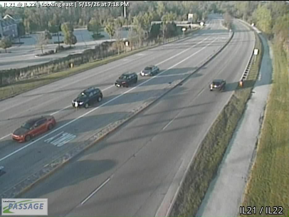 WorkingStill imageIL 21 at IL 22, looking east
 WorkingStill imageIL 21 at IL 22, looking north
 WorkingStill imageIL 21 at IL 22, looking south
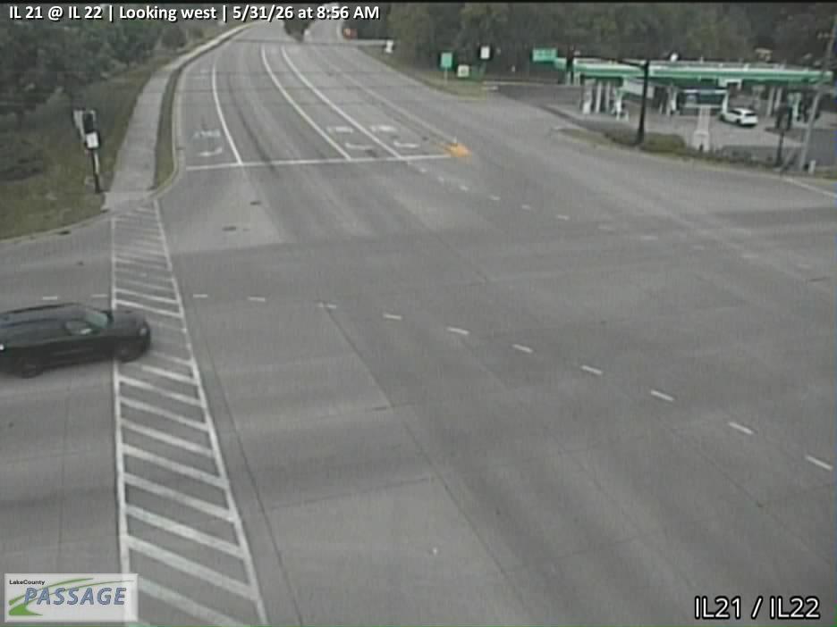 WorkingStill imageIL 21 at IL 22, looking west
 WorkingStill imageIL 22 at IL 83, looking east
 WorkingStill imageIL 22 at IL 83, looking north
 WorkingStill imageIL 22 at IL 83, looking south
 WorkingStill imageIL 22 at IL 83, looking west
 WorkingStill imageIL 53 at Lake Cook, looking east
 WorkingStill imageIL 53 at Lake Cook, looking north
 WorkingStill imageIL 53 at Lake Cook, looking south
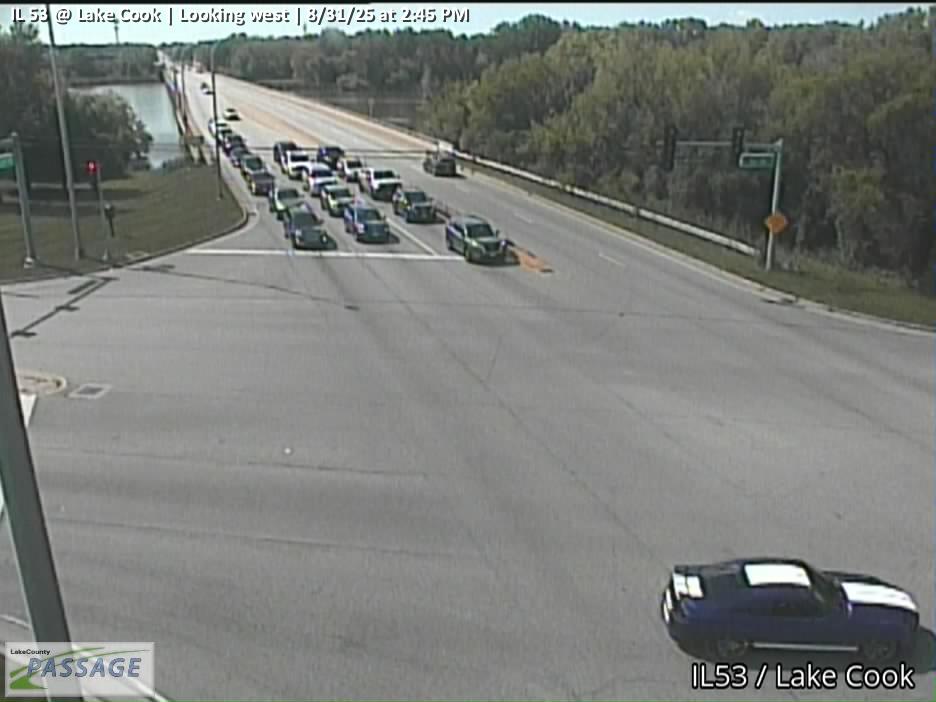 WorkingStill imageIL 53 at Lake Cook, looking west
_cctv_North_Leg.jpg) WorkingStill imageIL 53 at Long Grove (Cell), looking north
WorkingStill imageIL 53 at Long Grove (Cell), looking north_cctv_South_Leg.jpg) WorkingStill imageIL 53 at Long Grove (Cell), looking south
WorkingStill imageIL 53 at Long Grove (Cell), looking south_cctv_West_Leg.jpg) WorkingStill imageIL 53 at Long Grove (Cell), looking west
WorkingStill imageIL 53 at Long Grove (Cell), looking west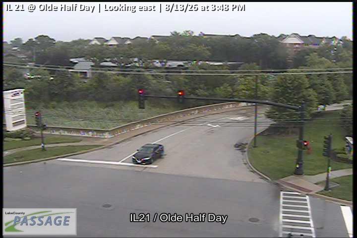 WorkingStill imageIL 21 at Olde Half Day, looking east
 WorkingStill imageIL 21 at Olde Half Day, looking north
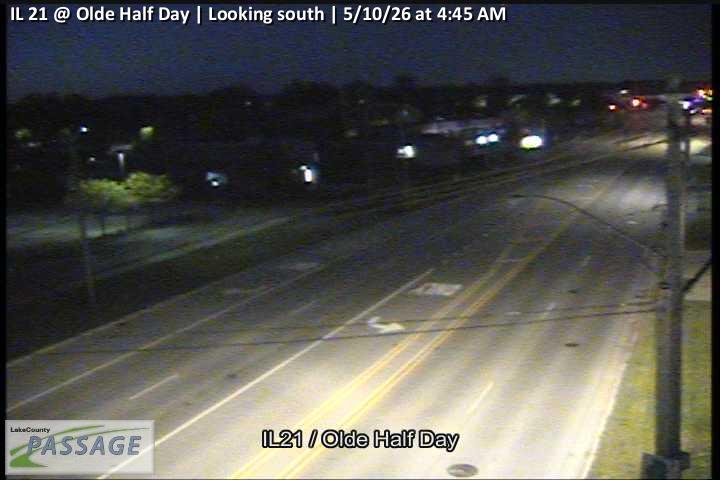 WorkingStill imageIL 21 at Olde Half Day, looking south
 WorkingStill imageIL 21 at Olde Half Day, looking west
 WorkingStill imageBuffalo Grove at Port Clinton, looking east
 WorkingStill imageBuffalo Grove at Port Clinton, looking north
 WorkingStill imageBuffalo Grove at Port Clinton, looking south
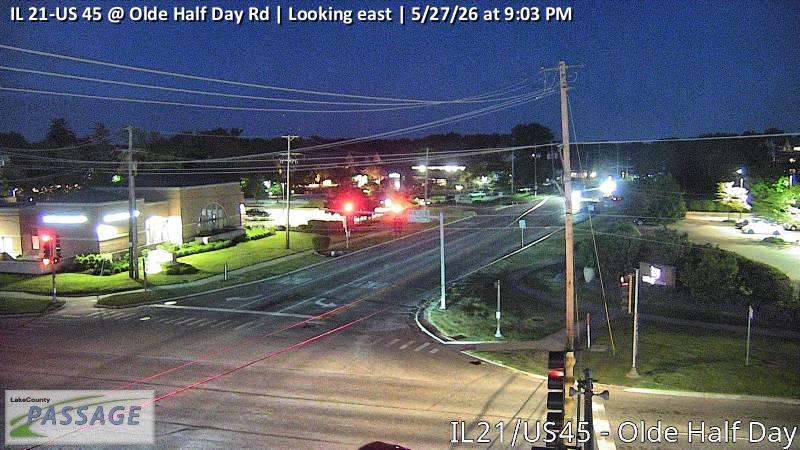 WorkingStill imageIL 21-US 45 at Olde Half Day Rd, looking east
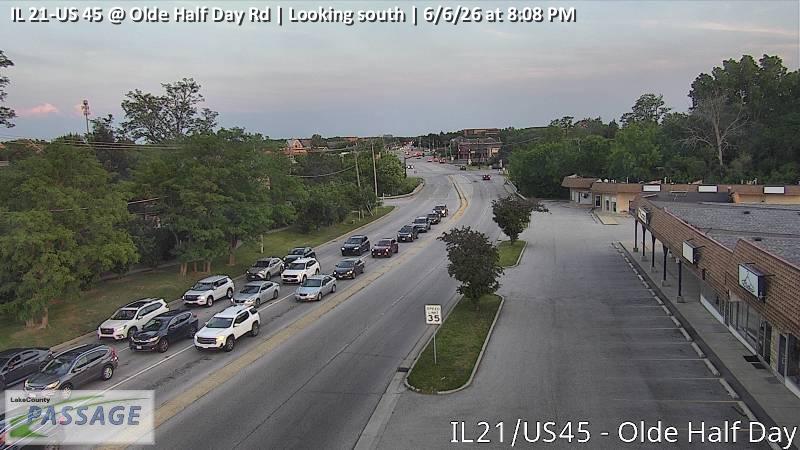 WorkingStill imageIL 21-US 45 at Olde Half Day Rd, looking south
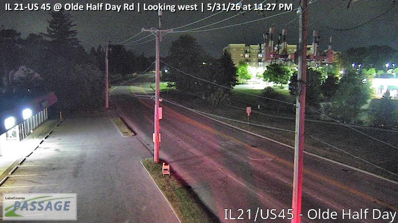 WorkingStill imageIL 21-US 45 at Olde Half Day Rd, looking west
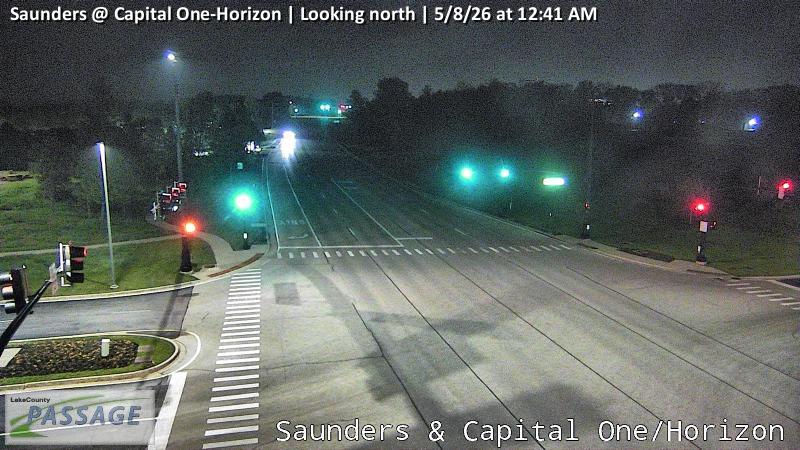 WorkingStill imageSaunders at Capital One-Horizon, looking north
 WorkingStill imageSaunders at Capital One-Horizon, looking south
 WorkingStill imageLake Cook at Saunders, looking east
 WorkingStill imageLake Cook at Saunders, looking north
 WorkingStill imageLake Cook at Saunders, looking south
 WorkingStill imageLake Cook at Saunders, looking west
 WorkingStill imageUS 12 at Lake Cook, looking east
 WorkingStill imageUS 12 at Lake Cook, looking north
 WorkingStill imageUS 12 at Lake Cook, looking south
 WorkingStill imageUS 12 at Lake Cook, looking west
 WorkingStill imageRiverwoods at Yorkshire, looking north
 WorkingStill imageRiverwoods at Yorkshire, looking south
 WorkingStill imageRiverwoods at Yorkshire, looking west
 WorkingStill imageUS 45 at Buffalo Grove, looking east
 WorkingStill imageUS 45 at Buffalo Grove, looking north
 WorkingStill imageUS 45 at Buffalo Grove, looking south
 WorkingStill imageUS 45 at Buffalo Grove, looking west
 WorkingStill imageDeerfield at Parkway N, looking east
 WorkingStill imageDeerfield at Parkway N, looking west
 WorkingStill imageIL 83 at Gilmer, looking east
 WorkingStill imageIL 83 at Gilmer, looking north
 WorkingStill imageIL 83 at Gilmer, looking south
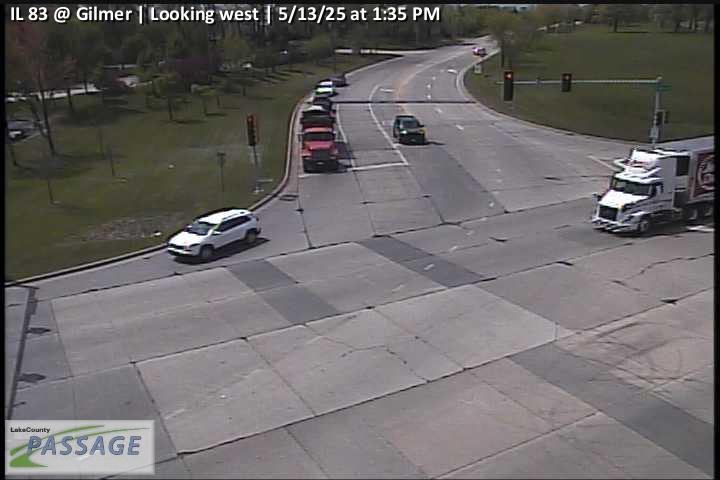 WorkingStill imageIL 83 at Gilmer, looking west
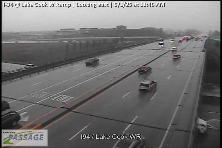 WorkingStill imageI-94 at Lake Cook W Ramp, looking east
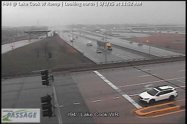 WorkingStill imageI-94 at Lake Cook W Ramp, looking north
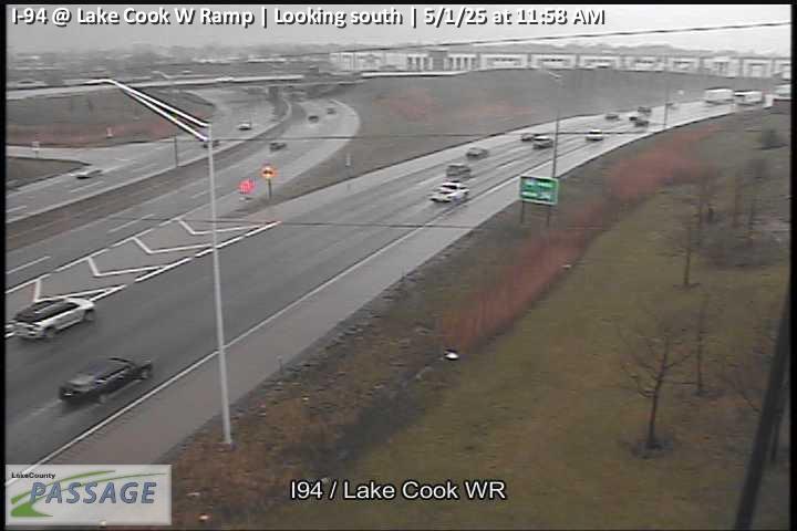 WorkingStill imageI-94 at Lake Cook W Ramp, looking south
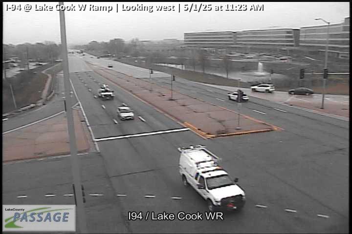 WorkingStill imageI-94 at Lake Cook W Ramp, looking west
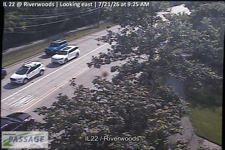 WorkingStill imageIL 22 at Riverwoods, looking east
 WorkingStill imageIL 22 at Riverwoods, looking north
 WorkingStill imageIL 22 at Riverwoods, looking south
 WorkingStill imageIL 22 at Riverwoods, looking west
 WorkingStill imageI-94 at Deerfield, looking east
 WorkingStill imageI-94 at Deerfield, looking north
 WorkingStill imageI-94 at Deerfield, looking south
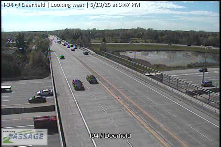 WorkingStill imageI-94 at Deerfield, looking west
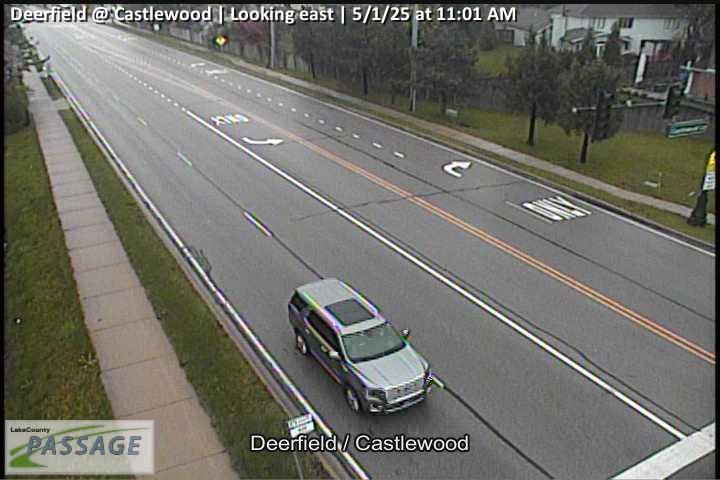 WorkingStill imageDeerfield at Castlewood, looking east
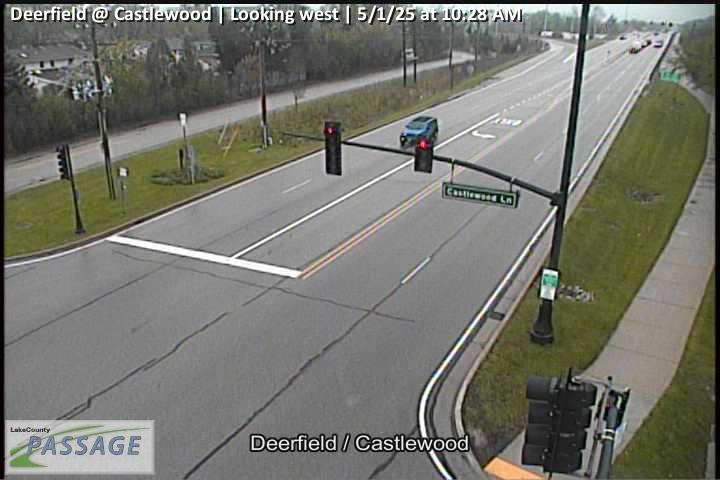 WorkingStill imageDeerfield at Castlewood, looking west
 WorkingStill imageDiamond Lake at Gilmer, looking east
 WorkingStill imageDiamond Lake at Gilmer, looking north
 WorkingStill imageDiamond Lake at Gilmer, looking west
 WorkingStill imageUS 45 at Deerpath, looking east
 WorkingStill imageUS 45 at Deerpath, looking north
 WorkingStill imageUS 45 at Deerpath, looking west
 WorkingStill imageDeerfield at Wilmot, looking east
 WorkingStill imageDeerfield at Wilmot, looking west
 WorkingStill imageUS 12 at Long Grove, looking east
 WorkingStill imageUS 12 at Long Grove, looking north
 WorkingStill imageUS 12 at Long Grove, looking south
 WorkingStill imageUS 12 at Long Grove, looking west
No live video among these cameras. Turn off "Live video only" to see them all.
Best cams to watch
- Aptakisic at Buffalo Grove, looking north — Still image · every 10 min, working 100 % of the time in the last 30 days.
- Aptakisic at Barclay, looking west — Still image · every 10 min, working 100 % of the time in the last 30 days.
- IL 21-US 45 at Olde Half Day Rd, looking north — Still image · every 10 min, working 100 % of the time in the last 30 days.
Buffalo Grove sits on a county line. Roughly three-quarters of the village lies in Lake County and the southern quarter in Cook County, about 30 miles northwest of the Chicago Loop and 20 miles north of O’Hare. Its name comes from an English rendering of the Potawatomi name for Buffalo Creek, which still winds through town beside a forest preserve. Incorporated in 1958 with just 164 residents, the village boomed in the 1970s and counted about 43,200 people at the 2020 Census, making it the largest of its immediate neighbors.
The village is a grid of residential neighborhoods, office parks and shopping centers threaded by major arterials. Metra’s North Central Service has stopped at the Buffalo Grove station since 1996, about 32 miles from Union Station.
Roads on camera
The 85 cameras for Buffalo Grove are Illinois DOT traffic cameras from the Gateway traveler information network used by Getting Around Illinois and Travel Midwest. Expect intersection and corridor views on the state routes that cross the village: Milwaukee Avenue (IL-21) on the east side, McHenry Road (IL-83) slicing diagonally across, Dundee Road (IL-68) in the Cook County portion, and Half Day Road (IL-22) to the north. Lake-Cook Road, the east–west line that roughly marks the county boundary, is another busy corridor here. Images are refreshed stills, so motion is captured as a sequence of snapshots rather than video.
The village keeps Central Time. If you want to see congestion, weekday mornings toward the Edens and Tri-State and late afternoons heading home are the reliable windows. On winter nights the cameras show how well plows are keeping up, and spring thunderstorms can bring sudden downpours that slow everything. Evenings go dark early after the November clock change.
Arlington Heights, Wheeling and Long Grove border the village, and cameras there may also show up within the radius. Long Grove’s historic crossroads village, with its covered bridge, is only a few minutes west.
Sources: Buffalo Grove, Illinois – Wikipedia · Getting Around Illinois – IDOT.
Nearby places
- Waukegan (620)
- Wheaton (617)
- North Peoria (554)
- Peoria (553)
- Naperville (475)
- Gurnee (386)
- Palatine (354)
- Grayslake (346)
Questions about Buffalo Grove
How many live cameras are there in Buffalo Grove?
LiveLocation lists 190 cameras in and around Buffalo Grove, United States: 0 live video, 190 still images. 190 of them were live or showing a fresh image at the last check.
Who runs the cameras in Buffalo Grove?
All of them come from Illinois DOT (190). Each camera plays straight from the agency or owner that runs it, with credit. Illinois DOT
What can I see on the Buffalo Grove cameras?
All of them show traffic and highway (190). Good ones to start with: Aptakisic at Buffalo Grove, looking north and Aptakisic at Barclay, looking west. Aptakisic at Buffalo Grove, looking north Aptakisic at Barclay, looking west
Can I watch live video from Buffalo Grove?
Not yet: the cameras here send still images that refresh about every 10 minutes. The map can show only live-video cameras nearby. Live video on the map
What time is it in Buffalo Grove, and when is it light?
Buffalo Grove is on America/Chicago time. On October 7 the sun rises at 6:55 AM and sets at 6:23 PM, so still images are clearest between those times. Road cameras show the most traffic in the weekday morning and evening rush hours.
Which places near Buffalo Grove also have cameras?
The nearest are Wheeling (1.8 mi away, 173 cameras), Prospect Heights (4.0 mi away, 31 cameras) and Arlington Heights (4.5 mi away, 330 cameras). Wheeling Prospect Heights Arlington Heights
How can I see the Buffalo Grove cameras on a map?
The map at the top of this page shows all 190 of them. The live camera radar centers on Buffalo Grove and lists every camera within 5 to 250 miles, nearest first, with filters for live video, traffic, nature and more. Open the radar on Buffalo Grove
Place names and locations: GeoNames, licensed under CC BY 4.0.