Live cameras in Waukegan, United States
200 cameras: 0 live video, 200 still images · 200 working now · updated Oct 8, 03:32 UTC
Waukegan has 200 live cameras on LiveLocation right now: 0 live video, 200 still images. Good places to start: Lewis at Ridgeland, looking north, Lewis at Sunset, looking west, US 41 east ramp at Washington, looking south. Local time is 10:32 PM (America/Chicago). Today the sun rises at 6:55 AM and sets at 6:22 PM.
Waukegan live cameras
Waukegan live cameras, all in one place: 0 live video, 200 still images. 200 of them were live or fresh at the last check. Waukegan is home to about 88,000 people.
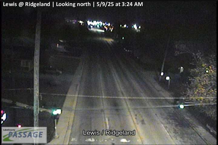 WorkingStill imageLewis at Ridgeland, looking north
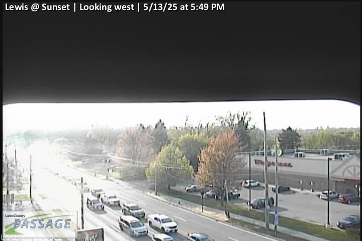 WorkingStill imageLewis at Sunset, looking west
 WorkingStill imageUS 41 east ramp at Washington, looking south
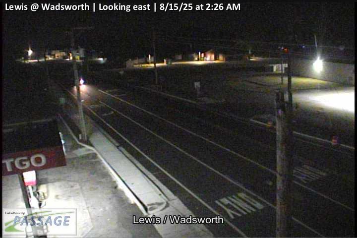 WorkingStill imageLewis at Wadsworth, looking east
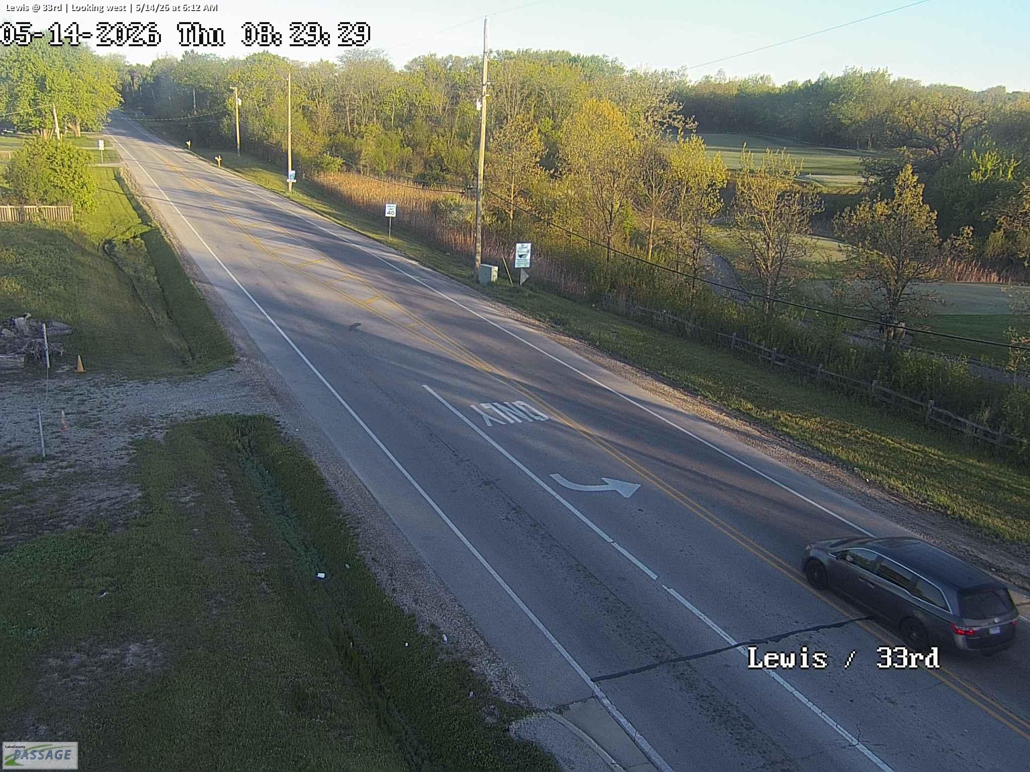 WorkingStill imageLewis at 33rd, looking west
_cctv_East_Leg.jpg) WorkingStill imageIL 120 at Hunt Club (Wireless), looking east
WorkingStill imageIL 120 at Hunt Club (Wireless), looking east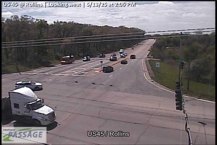 WorkingStill imageUS 45 at Rollins, looking west
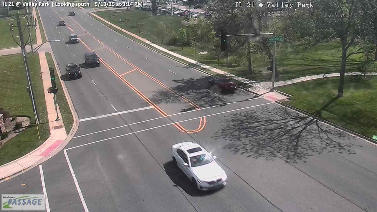 WorkingStill imageIL 21 at Valley Park, looking south
 WorkingStill imageUS 45 at IL 132, looking south
_@_7th_(Cell)_cctv_North_Leg.jpg) WorkingStill imageIL 137 (Sheridan) at 7th (Cell), looking north
WorkingStill imageIL 137 (Sheridan) at 7th (Cell), looking north_cctv_South_Leg.jpg) WorkingStill imageUS 45 at IL 120 (SW), looking south
WorkingStill imageUS 45 at IL 120 (SW), looking south WorkingStill imageUS 45 at Casey, looking north
_cctv_East_Leg.jpg) WorkingStill imageUS 41 at IL 173 (Wireless), looking east
WorkingStill imageUS 41 at IL 173 (Wireless), looking east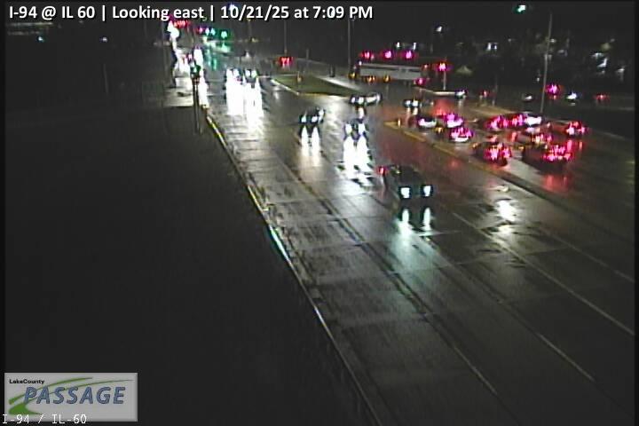 WorkingStill imageI-94 at IL 60, looking east
 WorkingStill imageIL 21 at Hollister, looking north
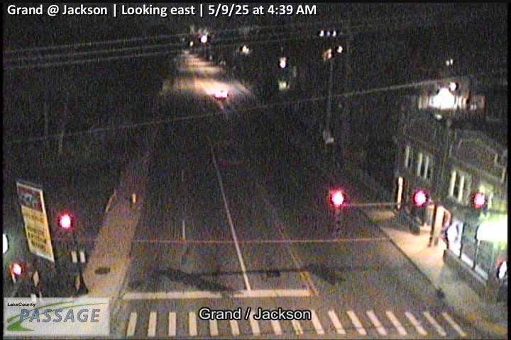 WorkingStill imageGrand at Jackson, looking east
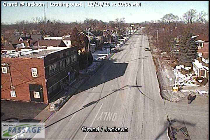 WorkingStill imageGrand at Jackson, looking west
 WorkingStill imageGrand at West, looking east
 WorkingStill imageGrand at West, looking west
 WorkingStill imageGrand at Butrick, looking east
 WorkingStill imageGrand at Butrick, looking west
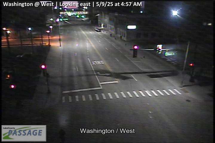 WorkingStill imageWashington at West, looking east
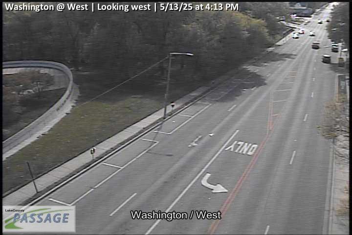 WorkingStill imageWashington at West, looking west
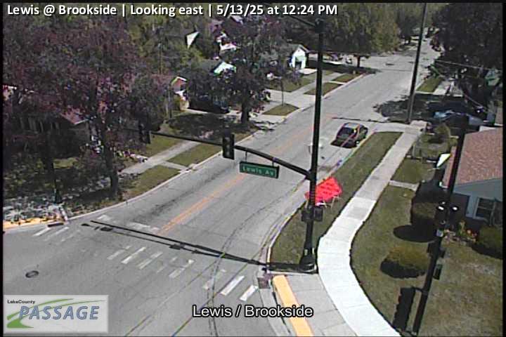 WorkingStill imageLewis at Brookside, looking east
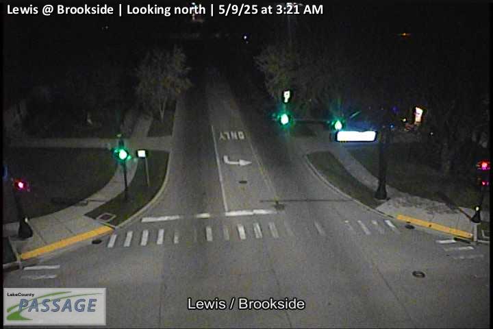 WorkingStill imageLewis at Brookside, looking north
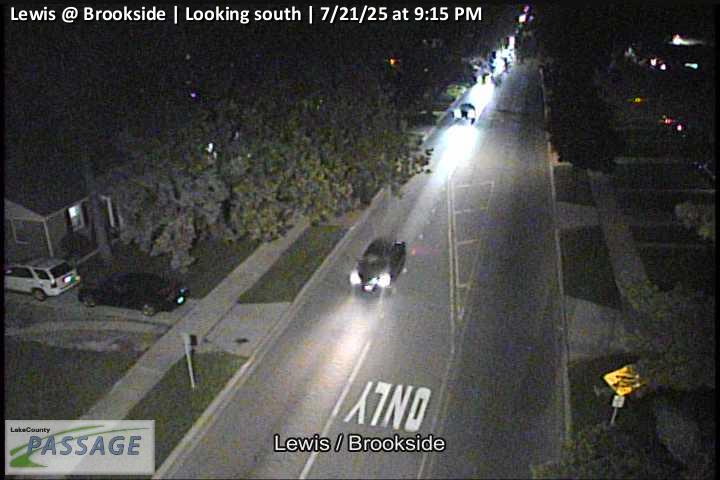 WorkingStill imageLewis at Brookside, looking south
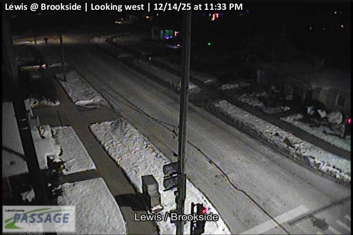 WorkingStill imageLewis at Brookside, looking west
 WorkingStill imageWashington at MLK, looking east
 WorkingStill imageWashington at MLK, looking west
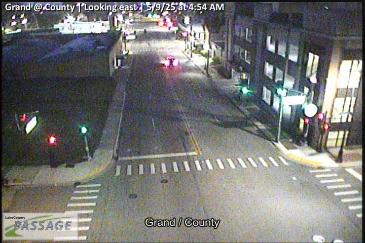 WorkingStill imageGrand at County, looking east
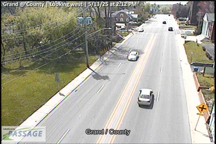 WorkingStill imageGrand at County, looking west
 WorkingStill imageWashington at County, looking east
 WorkingStill imageWashington at County, looking north
 WorkingStill imageWashington at County, looking south
 WorkingStill imageWashington at County, looking west
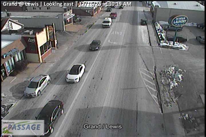 WorkingStill imageGrand at Lewis, looking east
 WorkingStill imageGrand at Lewis, looking north
 WorkingStill imageGrand at Lewis, looking south
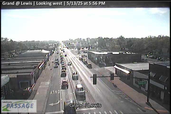 WorkingStill imageGrand at Lewis, looking west
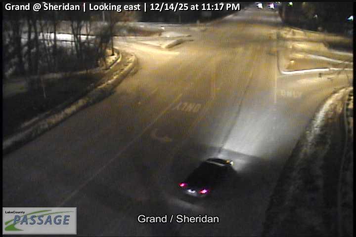 WorkingStill imageGrand at Sheridan, looking east
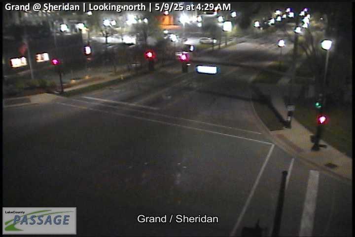 WorkingStill imageGrand at Sheridan, looking north
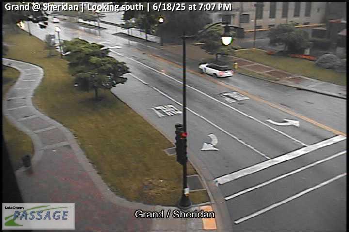 WorkingStill imageGrand at Sheridan, looking south
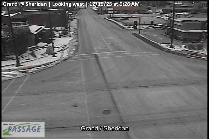 WorkingStill imageGrand at Sheridan, looking west
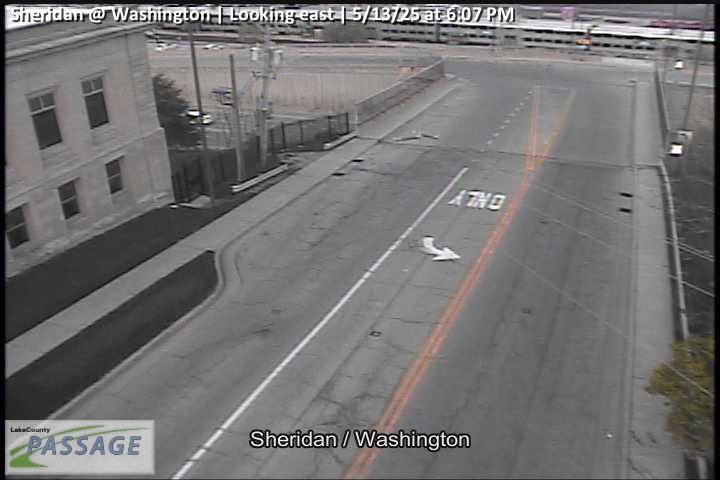 WorkingStill imageSheridan at Washington, looking east
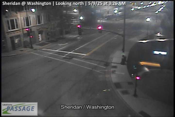 WorkingStill imageSheridan at Washington, looking north
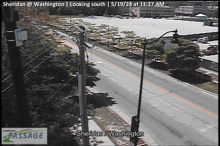 WorkingStill imageSheridan at Washington, looking south
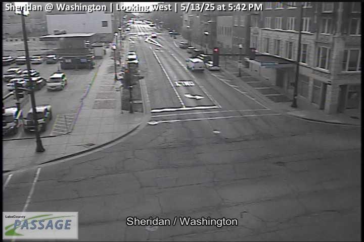 WorkingStill imageSheridan at Washington, looking west
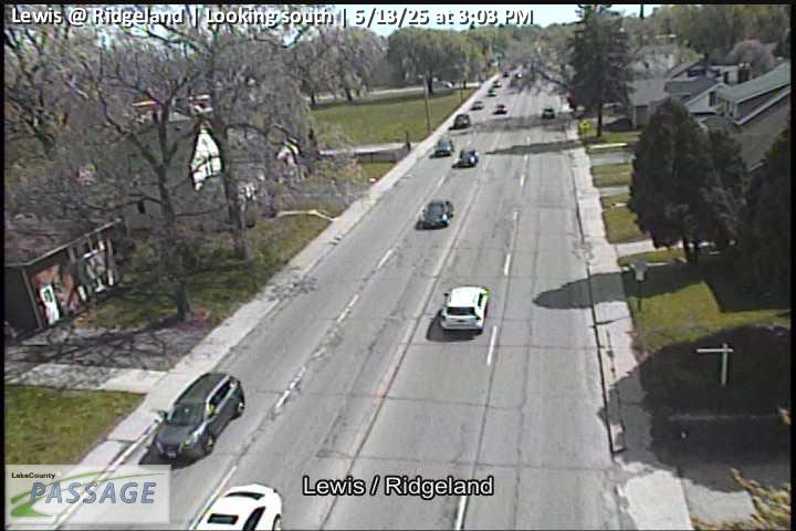 WorkingStill imageLewis at Ridgeland, looking south
 WorkingStill imageButrick at Glen Flora, looking east
 WorkingStill imageButrick at Glen Flora, looking west
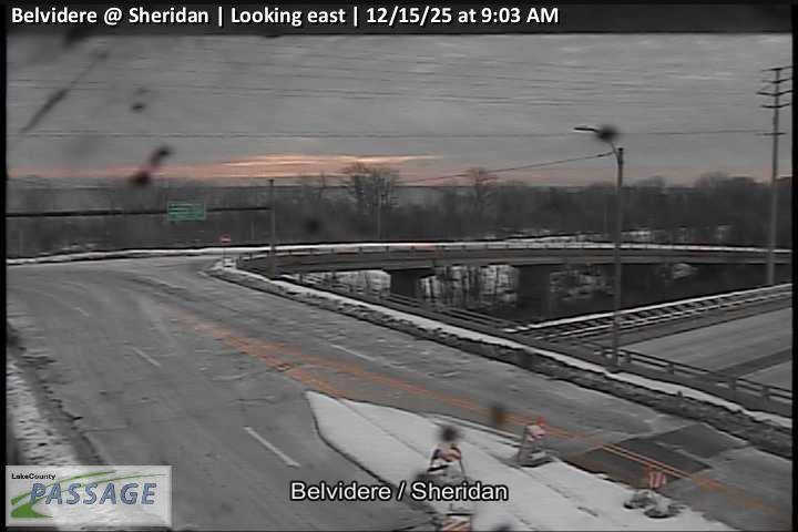 WorkingStill imageBelvidere at Sheridan, looking east
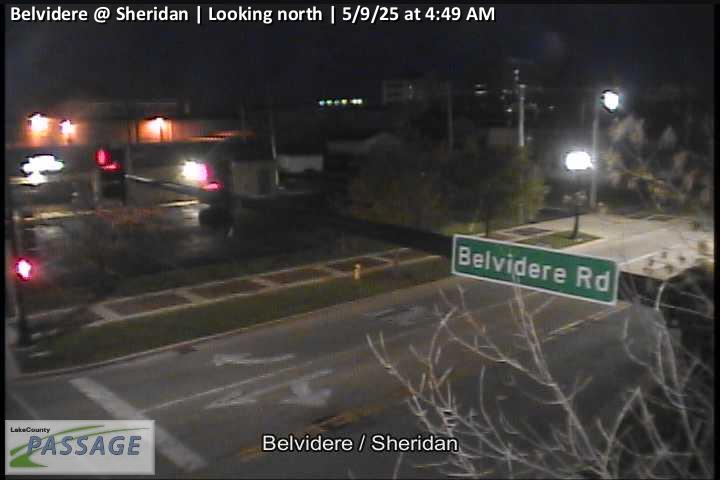 WorkingStill imageBelvidere at Sheridan, looking north
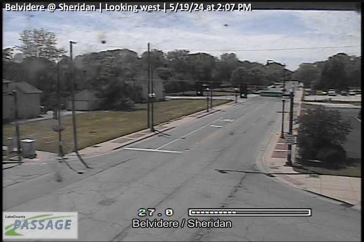 WorkingStill imageBelvidere at Sheridan, looking west
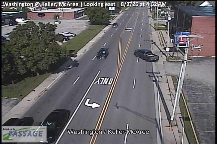 WorkingStill imageWashington at Keller, McAree, looking east
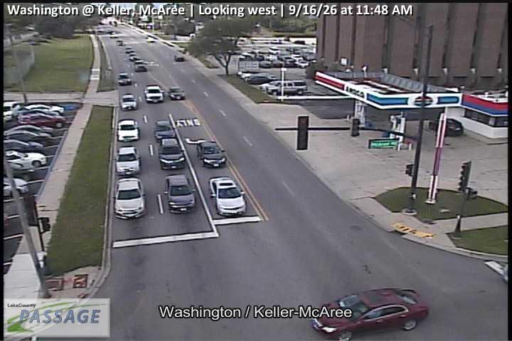 WorkingStill imageWashington at Keller, McAree, looking west
 WorkingStill imageBelvidere at Lewis, looking east
 WorkingStill imageBelvidere at Lewis, looking north
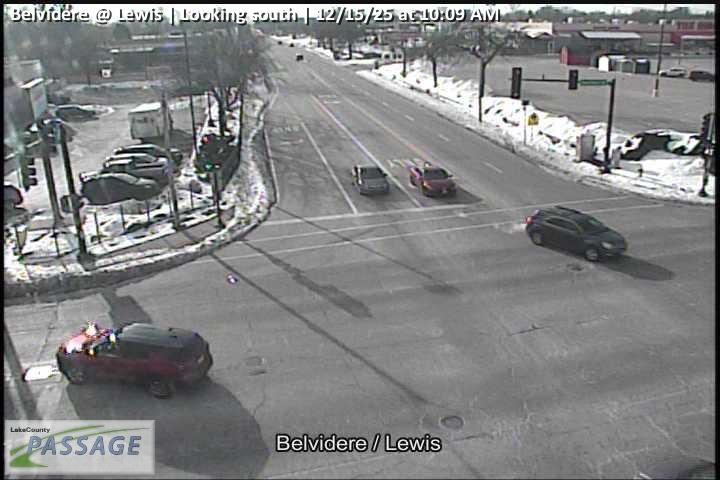 WorkingStill imageBelvidere at Lewis, looking south
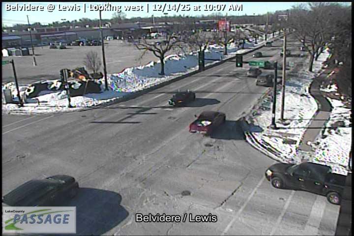 WorkingStill imageBelvidere at Lewis, looking west
 WorkingStill imageLewis at Glen Flora, looking east
 WorkingStill imageLewis at Glen Flora, looking north
 WorkingStill imageLewis at Glen Flora, looking south
 WorkingStill imageLewis at Glen Flora, looking west
 WorkingStill imageGrand at McAree, looking east
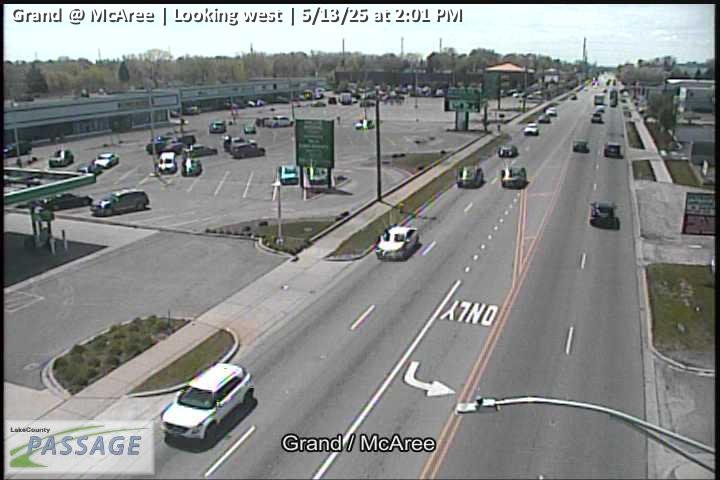 WorkingStill imageGrand at McAree, looking west
 WorkingStill imageSheridan at Glen Flora, looking north
 WorkingStill imageSheridan at Glen Flora, looking south
 WorkingStill imageSheridan at Glen Flora, looking west
 WorkingStill imageWashington at Washington Terrace, looking east
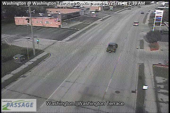 WorkingStill imageWashington at Washington Terrace, looking west
 WorkingStill imageLewis at Dugdale, looking north
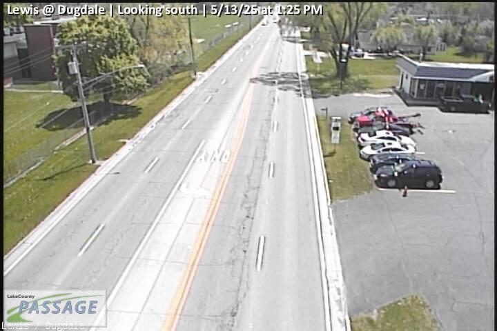 WorkingStill imageLewis at Dugdale, looking south
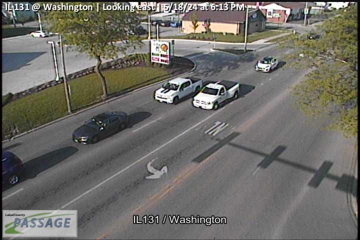 WorkingStill imageIL 131 at Washington, looking east
 WorkingStill imageIL 131 at Washington, looking north
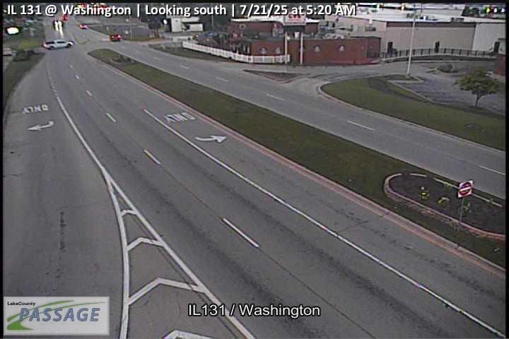 WorkingStill imageIL 131 at Washington, looking south
 WorkingStill imageIL 131 at Washington, looking west
 WorkingStill imageLewis at Williamsburg, looking north
 WorkingStill imageLewis at Williamsburg, looking south
_@_Greenwood_cctv_East_Leg.jpg) WorkingStill imageIL 137 (Sheridan) at Greenwood, looking east
WorkingStill imageIL 137 (Sheridan) at Greenwood, looking east_@_Greenwood_cctv_North_Leg.jpg) WorkingStill imageIL 137 (Sheridan) at Greenwood, looking north
WorkingStill imageIL 137 (Sheridan) at Greenwood, looking north_@_Greenwood_cctv_South_Leg.jpg) WorkingStill imageIL 137 (Sheridan) at Greenwood, looking south
WorkingStill imageIL 137 (Sheridan) at Greenwood, looking south_@_Greenwood_cctv_West_Leg.jpg) WorkingStill imageIL 137 (Sheridan) at Greenwood, looking west
WorkingStill imageIL 137 (Sheridan) at Greenwood, looking west WorkingStill imageLewis at 10th, looking north
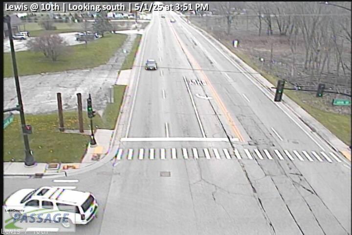 WorkingStill imageLewis at 10th, looking south
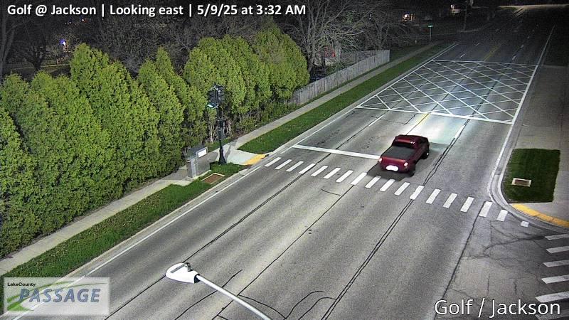 WorkingStill imageGolf at Jackson, looking east
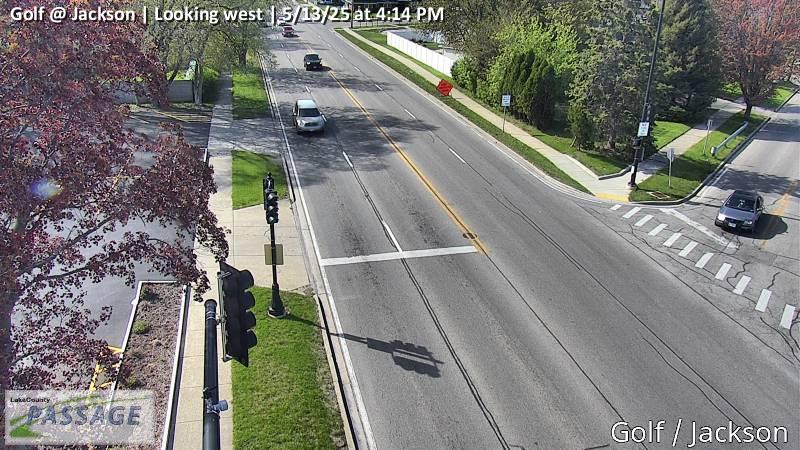 WorkingStill imageGolf at Jackson, looking west
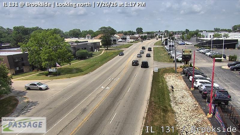 WorkingStill imageIL 131 at Brookside, looking north
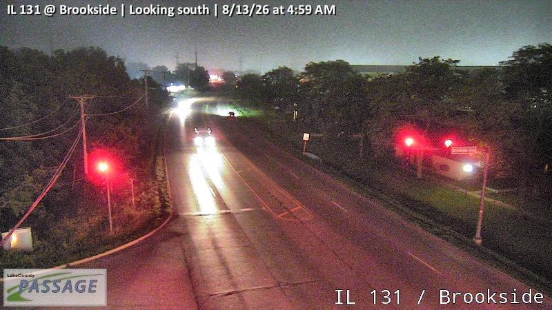 WorkingStill imageIL 131 at Brookside, looking south
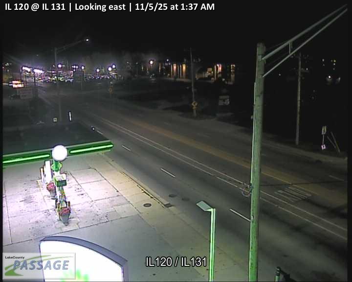 WorkingStill imageIL 120 at IL 131, looking east
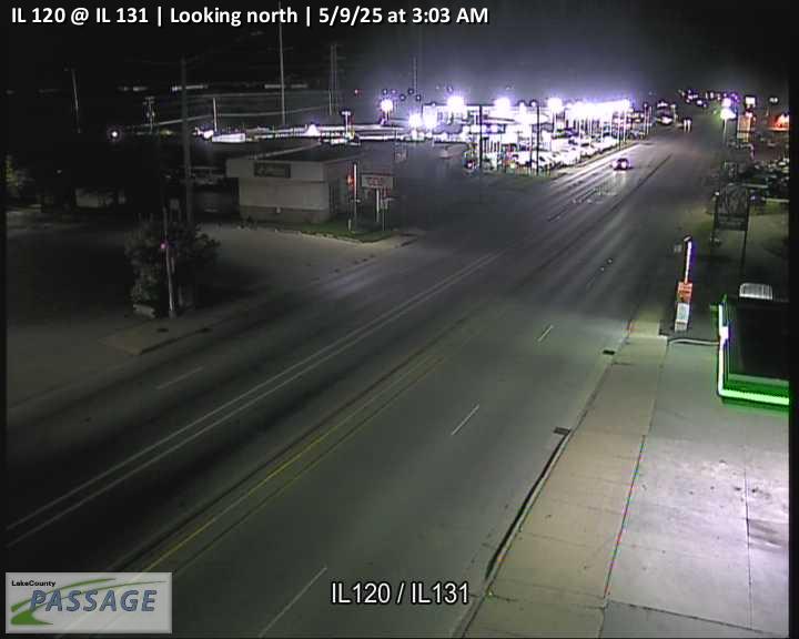 WorkingStill imageIL 120 at IL 131, looking north
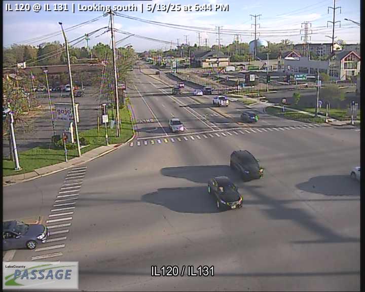 WorkingStill imageIL 120 at IL 131, looking south
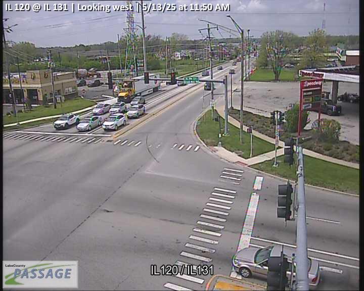 WorkingStill imageIL 120 at IL 131, looking west
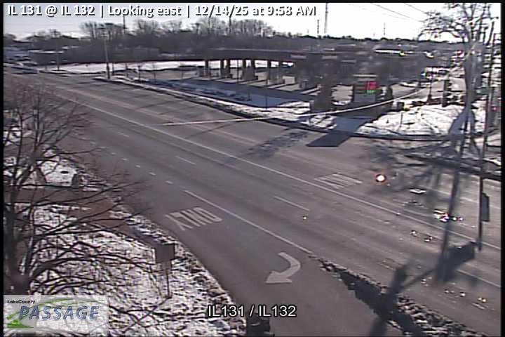 WorkingStill imageIL 131 at IL 132, looking east
 WorkingStill imageIL 131 at IL 132, looking north
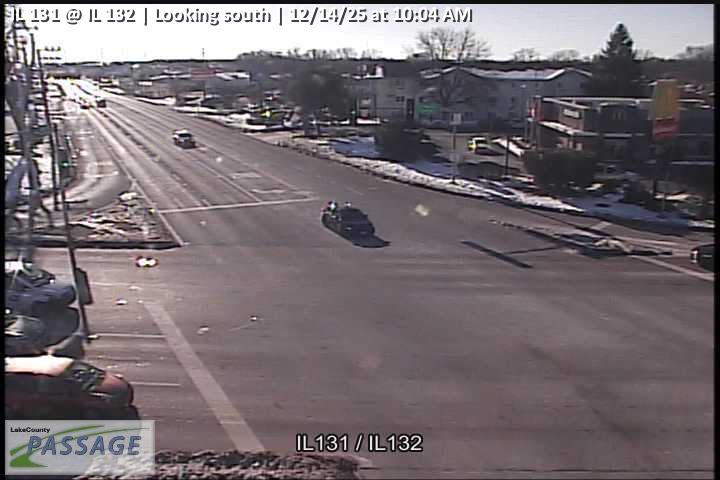 WorkingStill imageIL 131 at IL 132, looking south
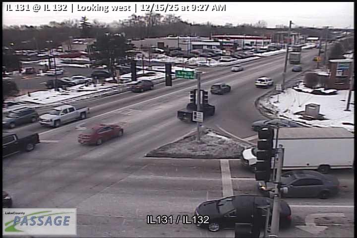 WorkingStill imageIL 131 at IL 132, looking west
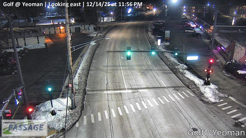 WorkingStill imageGolf at Yeoman, looking east
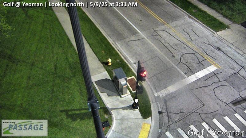 WorkingStill imageGolf at Yeoman, looking north
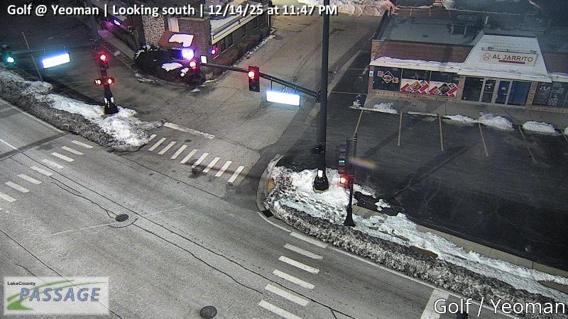 WorkingStill imageGolf at Yeoman, looking south
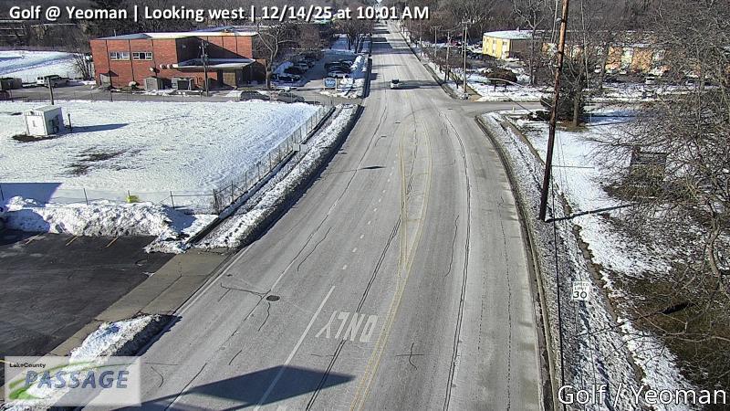 WorkingStill imageGolf at Yeoman, looking west
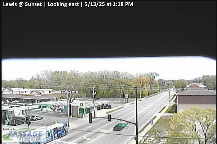 WorkingStill imageLewis at Sunset, looking east
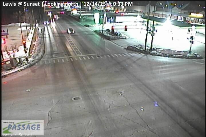 WorkingStill imageLewis at Sunset, looking north
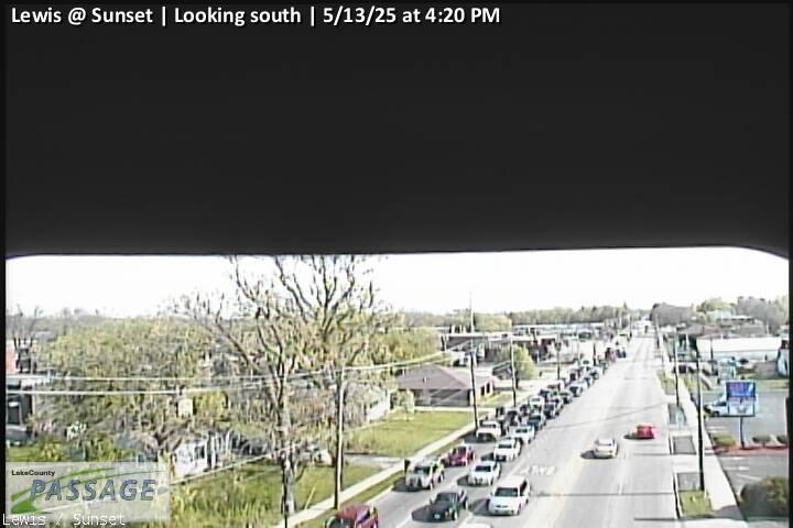 WorkingStill imageLewis at Sunset, looking south
_@_Jackson_cctv_East_Leg.jpg) WorkingStill imageAudrey Nixon (14th) at Jackson, looking east
WorkingStill imageAudrey Nixon (14th) at Jackson, looking east_@_Jackson_cctv_West_Leg.jpg) WorkingStill imageAudrey Nixon (14th) at Jackson, looking west
WorkingStill imageAudrey Nixon (14th) at Jackson, looking west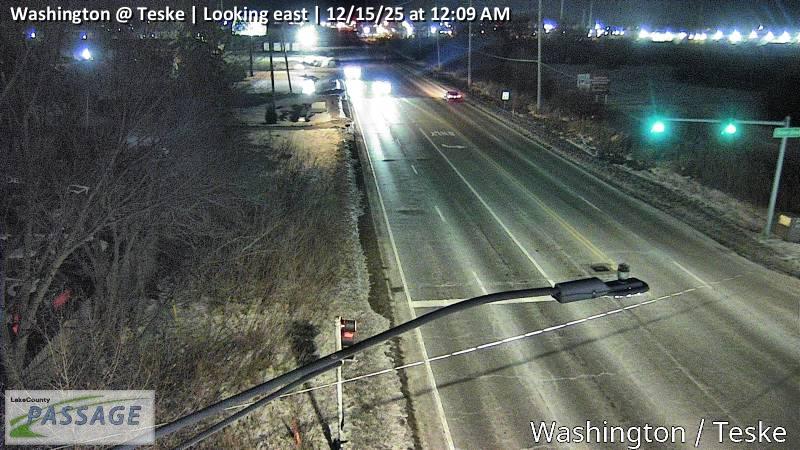 WorkingStill imageWashington at Teske, looking east
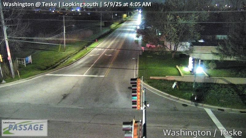 WorkingStill imageWashington at Teske, looking south
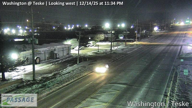 WorkingStill imageWashington at Teske, looking west
_@_Audrey_Nixon_(14th)_cctv_North_Leg.jpg) WorkingStill imageIL 137 (Sheridan) at Audrey Nixon (14th), looking north
WorkingStill imageIL 137 (Sheridan) at Audrey Nixon (14th), looking north_@_Audrey_Nixon_(14th)_cctv_South_Leg.jpg) WorkingStill imageIL 137 (Sheridan) at Audrey Nixon (14th), looking south
WorkingStill imageIL 137 (Sheridan) at Audrey Nixon (14th), looking south_@_Audrey_Nixon_(14th)_cctv_West_Leg.jpg) WorkingStill imageIL 137 (Sheridan) at Audrey Nixon (14th), looking west
WorkingStill imageIL 137 (Sheridan) at Audrey Nixon (14th), looking west_cctv_East_Leg.jpg) WorkingStill imageLewis at Audrey Nixon (14th), looking east
WorkingStill imageLewis at Audrey Nixon (14th), looking east_cctv_North_Leg.jpg) WorkingStill imageLewis at Audrey Nixon (14th), looking north
WorkingStill imageLewis at Audrey Nixon (14th), looking north_cctv_South_Leg.jpg) WorkingStill imageLewis at Audrey Nixon (14th), looking south
WorkingStill imageLewis at Audrey Nixon (14th), looking south_cctv_West_Leg.jpg) WorkingStill imageLewis at Audrey Nixon (14th), looking west
WorkingStill imageLewis at Audrey Nixon (14th), looking west_@_Mira_Flores_cctv_East_Leg.jpg) WorkingStill imageIL 137 (Sheridan) at Mira Flores, looking east
WorkingStill imageIL 137 (Sheridan) at Mira Flores, looking east_@_Mira_Flores_cctv_North_Leg.jpg) WorkingStill imageIL 137 (Sheridan) at Mira Flores, looking north
WorkingStill imageIL 137 (Sheridan) at Mira Flores, looking north_@_Mira_Flores_cctv_South_Leg.jpg) WorkingStill imageIL 137 (Sheridan) at Mira Flores, looking south
WorkingStill imageIL 137 (Sheridan) at Mira Flores, looking south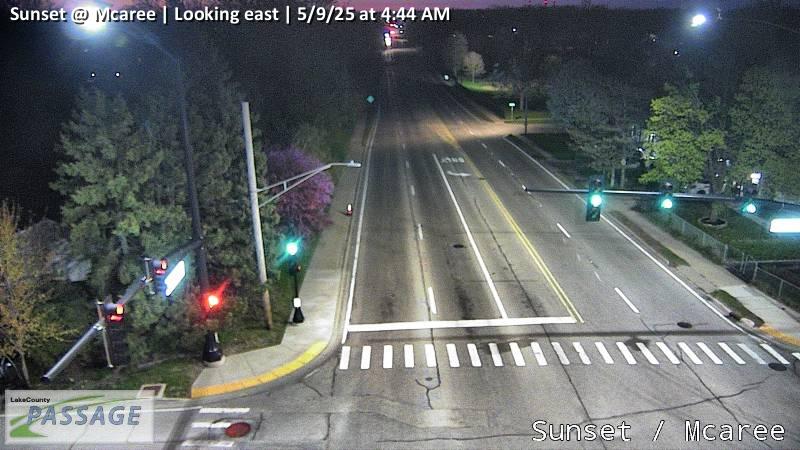 WorkingStill imageSunset at Mcaree, looking east
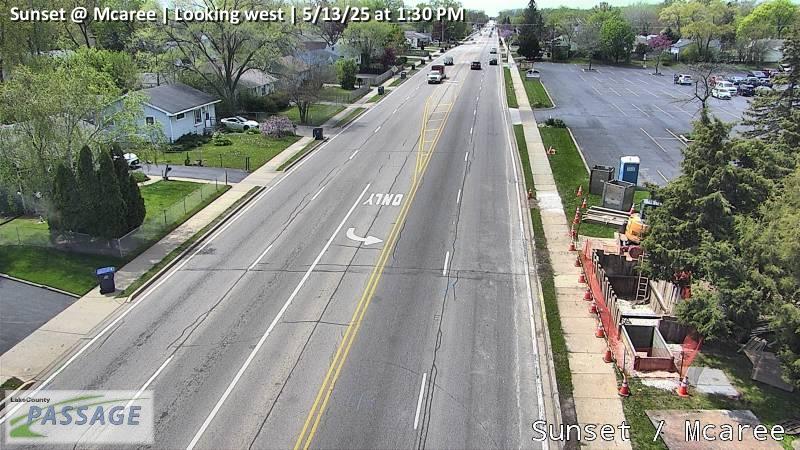 WorkingStill imageSunset at Mcaree, looking west
_@_Dugdale_cctv_East_Leg.jpg) WorkingStill imageAudrey Nixon (14th) at Dugdale, looking east
WorkingStill imageAudrey Nixon (14th) at Dugdale, looking east_@_Dugdale_cctv_North_Leg.jpg) WorkingStill imageAudrey Nixon (14th) at Dugdale, looking north
WorkingStill imageAudrey Nixon (14th) at Dugdale, looking north_@_Dugdale_cctv_South_Leg.jpg) WorkingStill imageAudrey Nixon (14th) at Dugdale, looking south
WorkingStill imageAudrey Nixon (14th) at Dugdale, looking south_@_Dugdale_cctv_West_Leg.jpg) WorkingStill imageAudrey Nixon (14th) at Dugdale, looking west
WorkingStill imageAudrey Nixon (14th) at Dugdale, looking west_@_16th_cctv_North_Leg.jpg) WorkingStill imageIL 137 (Sheridan) at 16th, looking north
WorkingStill imageIL 137 (Sheridan) at 16th, looking north_@_16th_cctv_South_Leg.jpg) WorkingStill imageIL 137 (Sheridan) at 16th, looking south
WorkingStill imageIL 137 (Sheridan) at 16th, looking south-Pulaski_cctv_East_Leg.jpg) WorkingStill imageIL 131 at Audrey Nixon (14th)-Pulaski, looking east
WorkingStill imageIL 131 at Audrey Nixon (14th)-Pulaski, looking east-Pulaski_cctv_North_Leg.jpg) WorkingStill imageIL 131 at Audrey Nixon (14th)-Pulaski, looking north
WorkingStill imageIL 131 at Audrey Nixon (14th)-Pulaski, looking north-Pulaski_cctv_South_Leg.jpg) WorkingStill imageIL 131 at Audrey Nixon (14th)-Pulaski, looking south
WorkingStill imageIL 131 at Audrey Nixon (14th)-Pulaski, looking south-Pulaski_cctv_West_Leg.jpg) WorkingStill imageIL 131 at Audrey Nixon (14th)-Pulaski, looking west
WorkingStill imageIL 131 at Audrey Nixon (14th)-Pulaski, looking west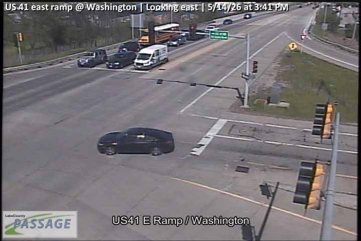 WorkingStill imageUS 41 east ramp at Washington, looking east
 WorkingStill imageUS 41 east ramp at Washington, looking north
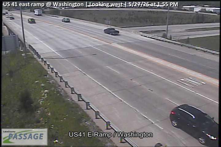 WorkingStill imageUS 41 east ramp at Washington, looking west
 WorkingStill imageLewis at Ballentine, looking east
 WorkingStill imageLewis at Ballentine, looking north
 WorkingStill imageLewis at Ballentine, looking south
_cctv_East_Leg.jpg) WorkingStill imageUS 41 at IL 132 (SE), looking east
WorkingStill imageUS 41 at IL 132 (SE), looking east_cctv_North_Leg.jpg) WorkingStill imageUS 41 at IL 132 (SE), looking north
WorkingStill imageUS 41 at IL 132 (SE), looking north_cctv_South_Leg.jpg) WorkingStill imageUS 41 at IL 132 (SE), looking south
WorkingStill imageUS 41 at IL 132 (SE), looking south_cctv_West_Leg.jpg) WorkingStill imageUS 41 at IL 132 (SE), looking west
WorkingStill imageUS 41 at IL 132 (SE), looking west_cctv_East_Leg.jpg) WorkingStill imageUS 41 at IL 132 (NW), looking east
WorkingStill imageUS 41 at IL 132 (NW), looking east_cctv_North_Leg.jpg) WorkingStill imageUS 41 at IL 132 (NW), looking north
WorkingStill imageUS 41 at IL 132 (NW), looking north_cctv_South_Leg.jpg) WorkingStill imageUS 41 at IL 132 (NW), looking south
WorkingStill imageUS 41 at IL 132 (NW), looking south_cctv_West_Leg.jpg) WorkingStill imageUS 41 at IL 132 (NW), looking west
WorkingStill imageUS 41 at IL 132 (NW), looking west WorkingStill imageUS 41 west ramp at Washington, looking east
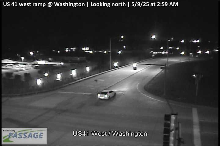 WorkingStill imageUS 41 west ramp at Washington, looking north
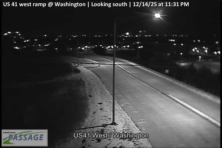 WorkingStill imageUS 41 west ramp at Washington, looking south
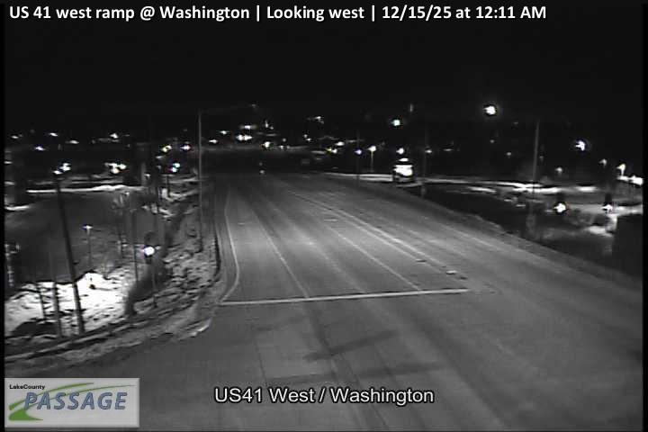 WorkingStill imageUS 41 west ramp at Washington, looking west
 WorkingStill imageLewis at Argonne, looking east
 WorkingStill imageLewis at Argonne, looking north
 WorkingStill imageLewis at Argonne, looking south
 WorkingStill imageLewis at Argonne, looking west
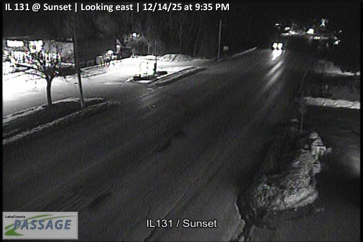 WorkingStill imageIL 131 at Sunset, looking east
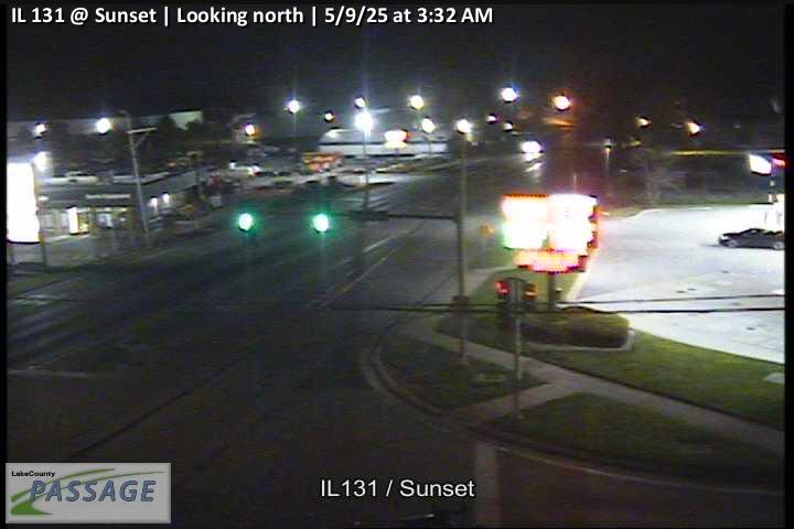 WorkingStill imageIL 131 at Sunset, looking north
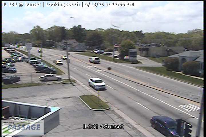 WorkingStill imageIL 131 at Sunset, looking south
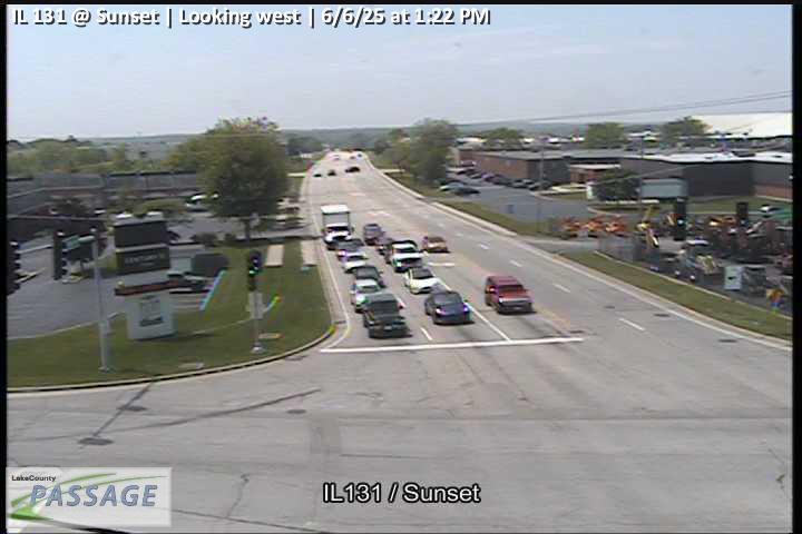 WorkingStill imageIL 131 at Sunset, looking west
 WorkingStill imageIL 43 at Northpoint, looking north
 WorkingStill imageIL 43 at Northpoint, looking south
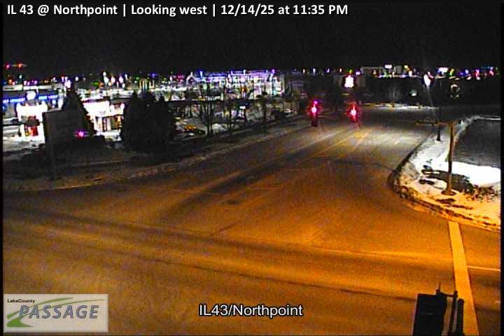 WorkingStill imageIL 43 at Northpoint, looking west
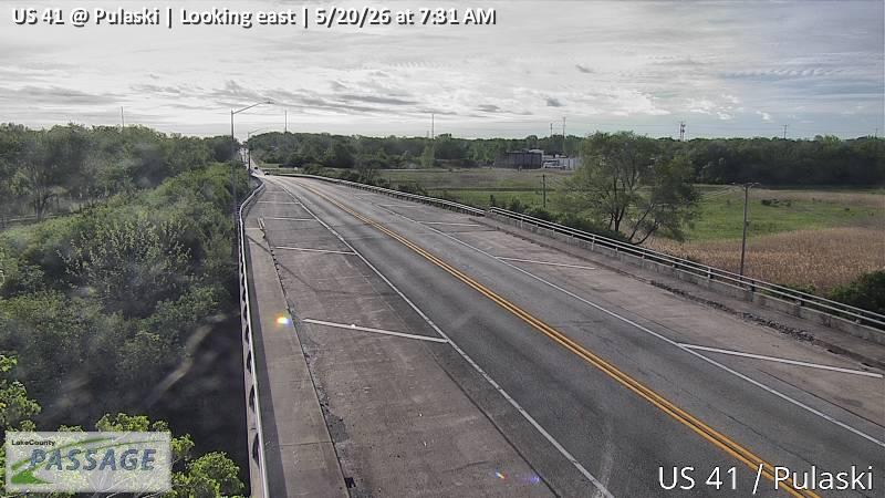 WorkingStill imageUS 41 at Pulaski, looking east
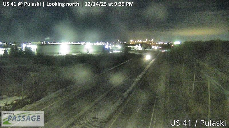 WorkingStill imageUS 41 at Pulaski, looking north
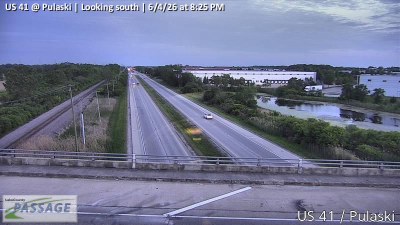 WorkingStill imageUS 41 at Pulaski, looking south
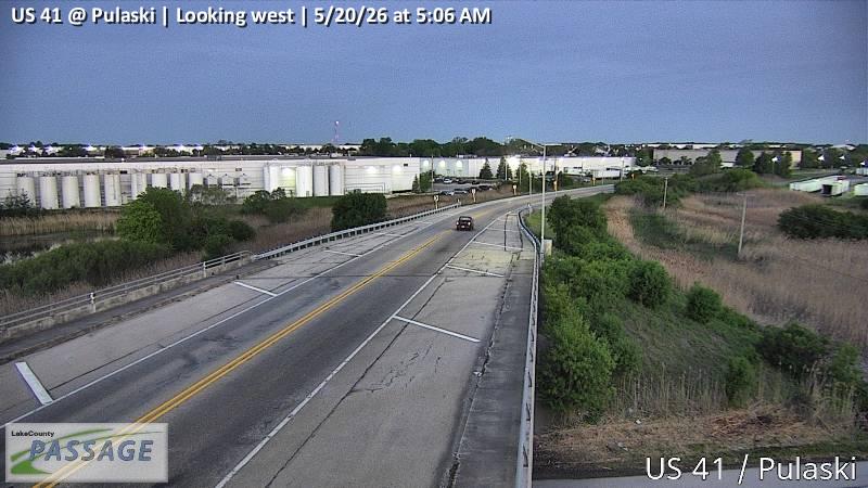 WorkingStill imageUS 41 at Pulaski, looking west
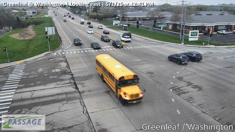 WorkingStill imageGreenleaf at Washington, looking east
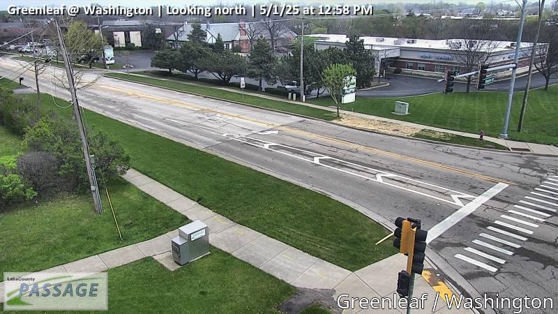 WorkingStill imageGreenleaf at Washington, looking north
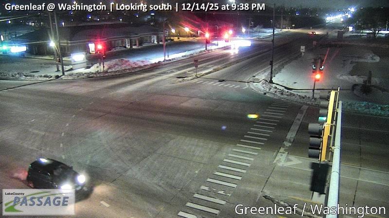 WorkingStill imageGreenleaf at Washington, looking south
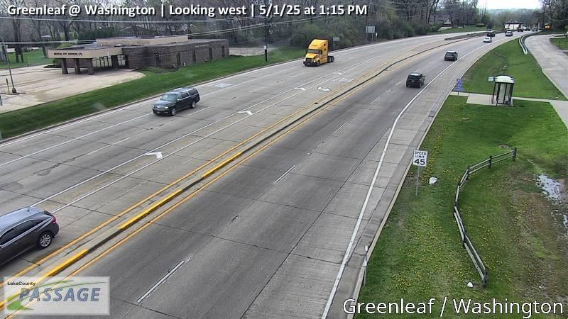 WorkingStill imageGreenleaf at Washington, looking west
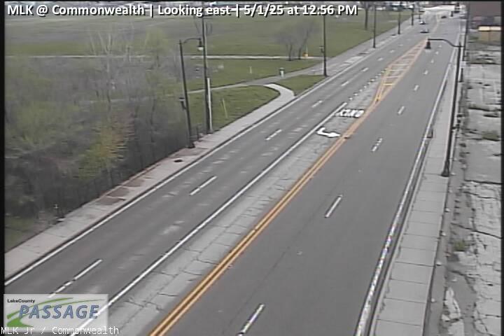 WorkingStill imageMLK at Commonwealth, looking east
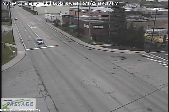 WorkingStill imageMLK at Commonwealth, looking west
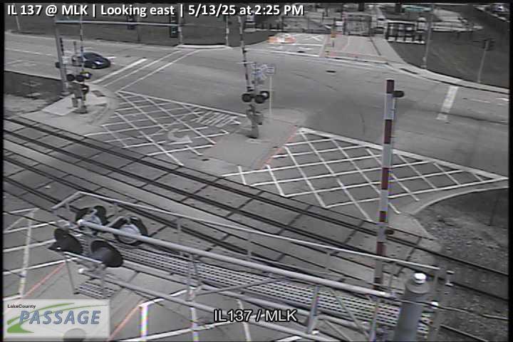 WorkingStill imageIL 137 at MLK, looking east
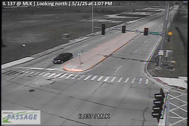 WorkingStill imageIL 137 at MLK, looking north
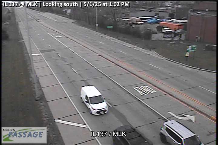 WorkingStill imageIL 137 at MLK, looking south
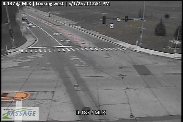 WorkingStill imageIL 137 at MLK, looking west
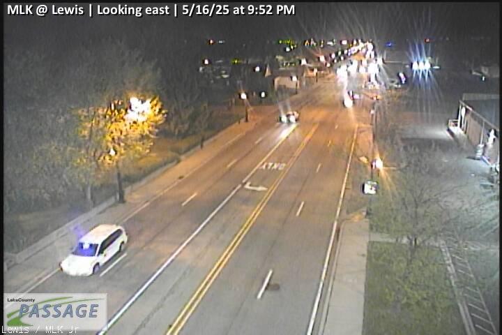 WorkingStill imageMLK at Lewis, looking east
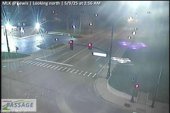 WorkingStill imageMLK at Lewis, looking north
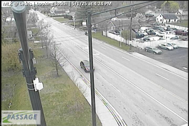 WorkingStill imageMLK at Lewis, looking south
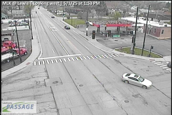 WorkingStill imageMLK at Lewis, looking west
 WorkingStill imageIL 43 at Pulaski, McGaw, looking east
 WorkingStill imageIL 43 at Pulaski, McGaw, looking north
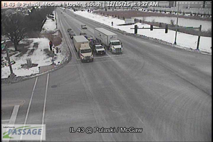 WorkingStill imageIL 43 at Pulaski, McGaw, looking south
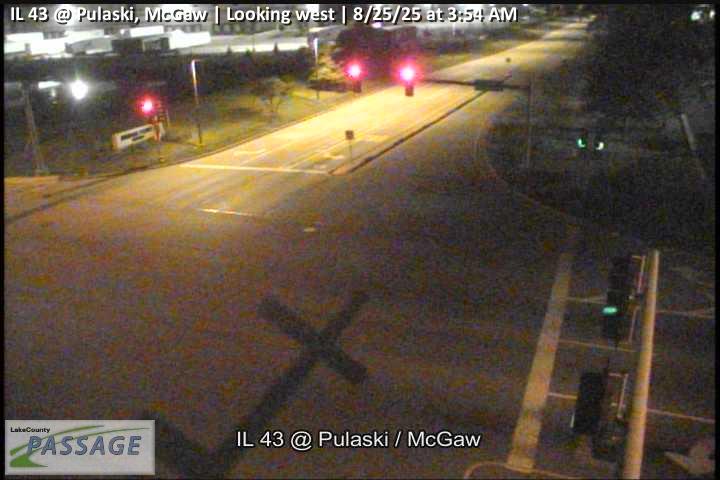 WorkingStill imageIL 43 at Pulaski, McGaw, looking west
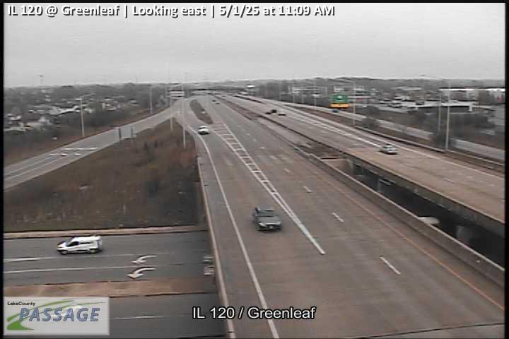 WorkingStill imageIL 120 at Greenleaf, looking east
 WorkingStill imageIL 120 at Greenleaf, looking north
 WorkingStill imageIL 120 at Greenleaf, looking south
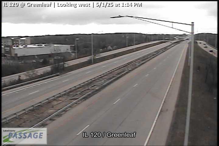 WorkingStill imageIL 120 at Greenleaf, looking west
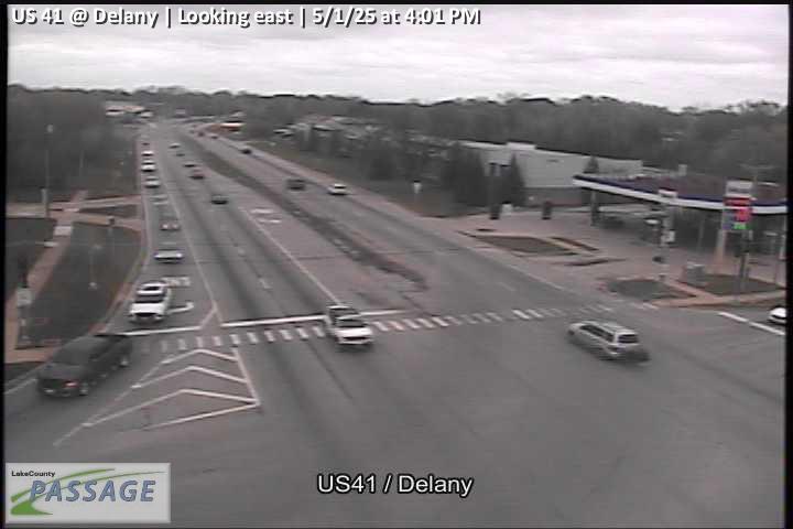 WorkingStill imageUS 41 at Delany, looking east
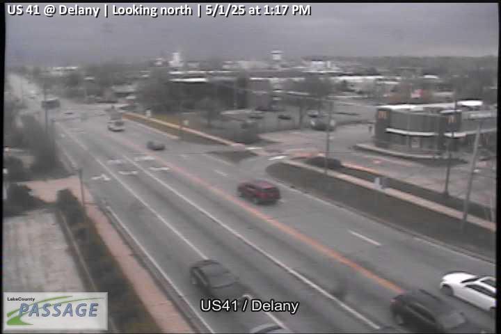 WorkingStill imageUS 41 at Delany, looking north
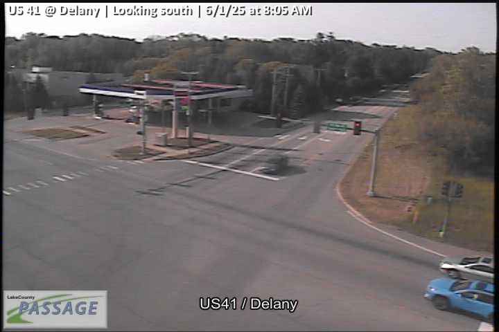 WorkingStill imageUS 41 at Delany, looking south
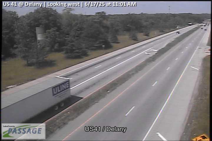 WorkingStill imageUS 41 at Delany, looking west
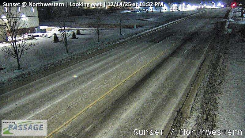 WorkingStill imageSunset at Northwestern, looking east
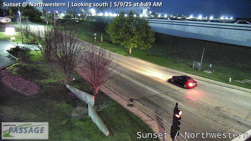 WorkingStill imageSunset at Northwestern, looking south
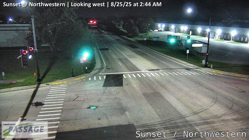 WorkingStill imageSunset at Northwestern, looking west
 WorkingStill imageIL 131 at MLK, looking east
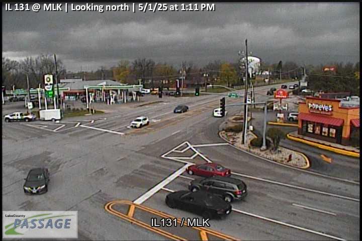 WorkingStill imageIL 131 at MLK, looking north
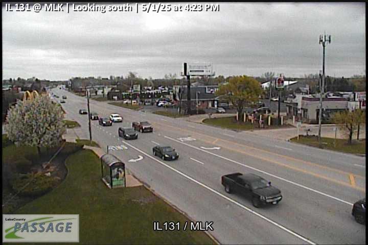 WorkingStill imageIL 131 at MLK, looking south
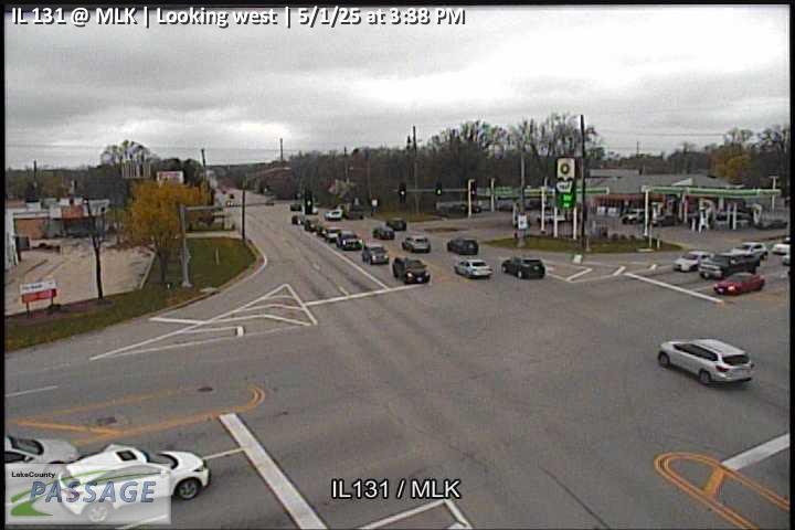 WorkingStill imageIL 131 at MLK, looking west
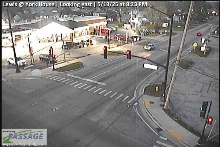 WorkingStill imageLewis at York House, looking east
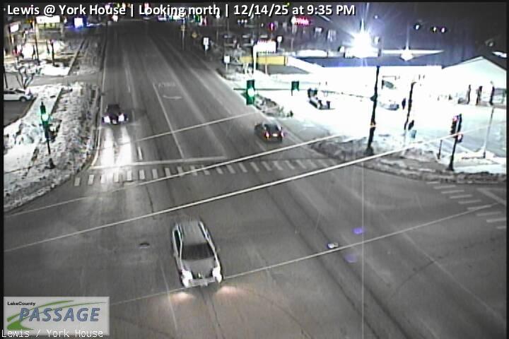 WorkingStill imageLewis at York House, looking north
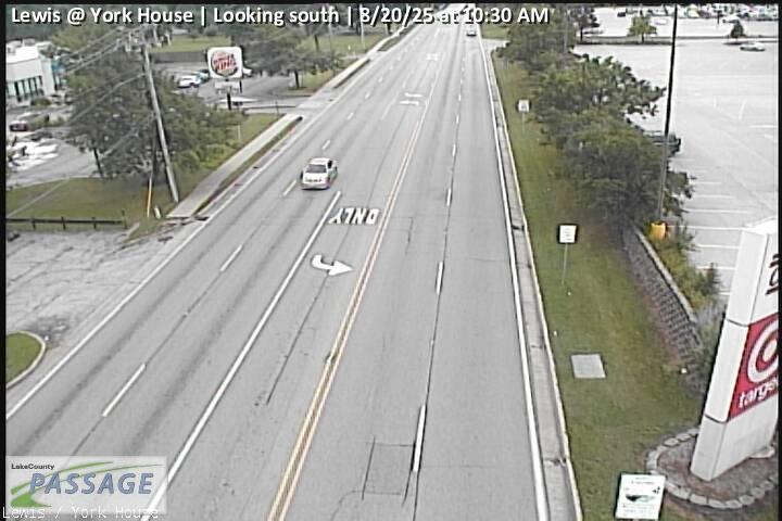 WorkingStill imageLewis at York House, looking south
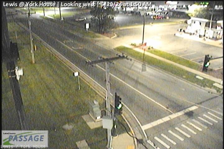 WorkingStill imageLewis at York House, looking west
No live video among these cameras. Turn off "Live video only" to see them all.
Best cams to watch
- Lewis at Ridgeland, looking north — Still image · every 10 min, working 100 % of the time in the last 30 days.
- Lewis at Sunset, looking west — Still image · every 10 min, working 100 % of the time in the last 30 days.
- US 41 east ramp at Washington, looking south — Still image · every 10 min, working 100 % of the time in the last 30 days.
Waukegan is the county seat of Lake County, Illinois, a lakeshore city of about 89,000 people (2020 census) roughly 36 miles north of downtown Chicago. Its name comes from a Potawatomi word for a fort or trading post, and early French traders knew the spot as Little Fort; the city took the name Waukegan in 1849. Shipping, brewing and factories built the town, and today its harbor, the Waukegan Harbor Light and the restored Genesee Theatre downtown are the landmarks most visitors know. The science fiction writer Ray Bradbury was born here and drew on his hometown in his stories.
Waukegan has more than 220 cameras of its own on LiveLocation, all published through the Illinois DOT Gateway feed; many of them belong to Lake County PASSAGE, the county's traffic management system, which shares its views through Gateway. They are still images refreshed every few minutes, aimed at lanes and intersections rather than the lake. Further down the page you will also find cameras from North Chicago, Gurnee, Zion, Beach Park and Park City.
What to look for
- Interstate 94, the Tri-State Tollway, on the western side of the area
- U.S. Route 41, the main north-south highway inland from the lake
- Illinois Routes 120, 132 and 137, including the Amstutz Expressway near the lakefront
- Grand Avenue and Belvidere Road, the city's main east–west streets
Waukegan runs on Central Time with daylight saving. The heaviest flows run south toward Chicago in the early morning and back north in the late afternoon. In June the sun rises around 5:15 a.m. and sets after 8:20 p.m.; in December it is dark before 4:30 p.m. Winter is the most interesting season to watch: snow squalls and cold winds come off Lake Michigan, and you can see how fast plows clear the main routes. Spring and early summer sometimes bring lake fog that hangs along the shore.
Nearby, Illinois Beach State Park stretches along the lake to the north, toward Zion, and the Metra Union Pacific North line links Waukegan's lakefront station with Chicago and Kenosha, Wisconsin.
Sources: Waukegan, Illinois - Wikipedia · Getting Around Illinois (Illinois DOT traffic cameras).
Nearby places
- Wheaton (617)
- North Peoria (554)
- Peoria (553)
- Naperville (475)
- Gurnee (386)
- Palatine (354)
- Grayslake (346)
- Round Lake Beach (344)
Questions about Waukegan
How many webcams can I watch in Waukegan?
LiveLocation lists 200 cameras in and around Waukegan, United States: 0 live video, 200 still images. 200 of them were live or showing a fresh image at the last check.
Where do the Waukegan cameras come from?
All of them come from Illinois DOT (200). Each camera plays straight from the agency or owner that runs it, with credit. Illinois DOT
What kinds of views are there in Waukegan?
All of them show traffic and highway (200). Good ones to start with: Lewis at Ridgeland, looking north and Lewis at Sunset, looking west. Lewis at Ridgeland, looking north Lewis at Sunset, looking west
Is there live video from Waukegan?
Not yet: the cameras here send still images that refresh about every 10 minutes. The map can show only live-video cameras nearby. Live video on the map
When is the best time to watch the Waukegan cameras?
Waukegan is on America/Chicago time. On October 7 the sun rises at 6:55 AM and sets at 6:22 PM, so still images are clearest between those times. Road cameras show the most traffic in the weekday morning and evening rush hours.
Are there live cameras near Waukegan?
The nearest are North Chicago (2.6 mi away, 252 cameras), Gurnee (3.0 mi away, 386 cameras) and Zion (5.7 mi away, 137 cameras). North Chicago Gurnee Zion
Is there a map of the cameras in Waukegan?
The map at the top of this page shows all 200 of them. The live camera radar centers on Waukegan and lists every camera within 5 to 250 miles, nearest first, with filters for live video, traffic, nature and more. Open the radar on Waukegan
Place names and locations: GeoNames, licensed under CC BY 4.0.