Live cameras in Grayslake, United States
200 cameras: 0 live video, 200 still images · 200 working now · updated Oct 8, 03:32 UTC
Grayslake has 200 live cameras on LiveLocation right now: 0 live video, 200 still images. Good places to start: IL 83-IL 137 at IL 83-Atkinson Rd, looking south, IL 83 at Lake, looking north, Hainesville at Washington, looking east. Local time is 10:32 PM (America/Chicago). Today the sun rises at 6:56 AM and sets at 6:23 PM.
Grayslake live cameras
Watch Grayslake live webcams: 0 live video, 200 still images. 200 of them were live or fresh at the last check. Grayslake is home to about 21,000 people.
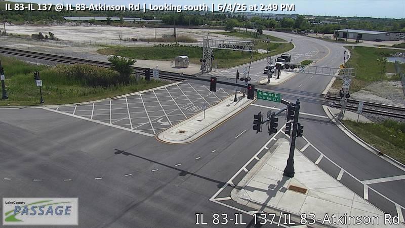 WorkingStill imageIL 83-IL 137 at IL 83-Atkinson Rd, looking south
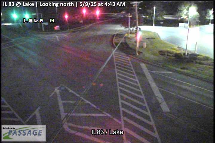 WorkingStill imageIL 83 at Lake, looking north
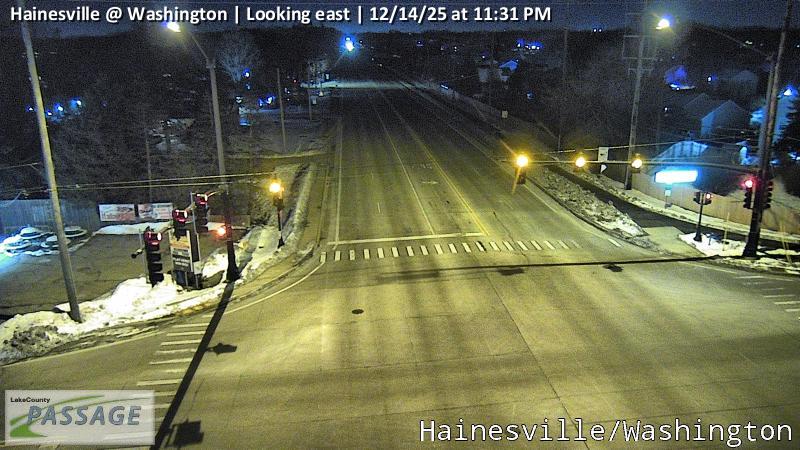 WorkingStill imageHainesville at Washington, looking east
_cctv_South_Leg.jpg) WorkingStill imageUS 45 at IL 120 (SW), looking south
WorkingStill imageUS 45 at IL 120 (SW), looking south WorkingStill imageUS 45 at Casey, looking north
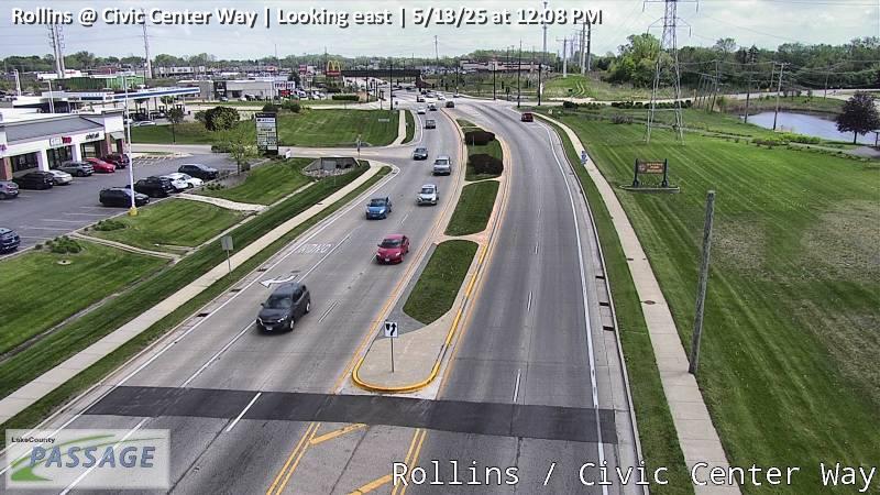 WorkingStill imageRollins at Civic Center Way, looking east
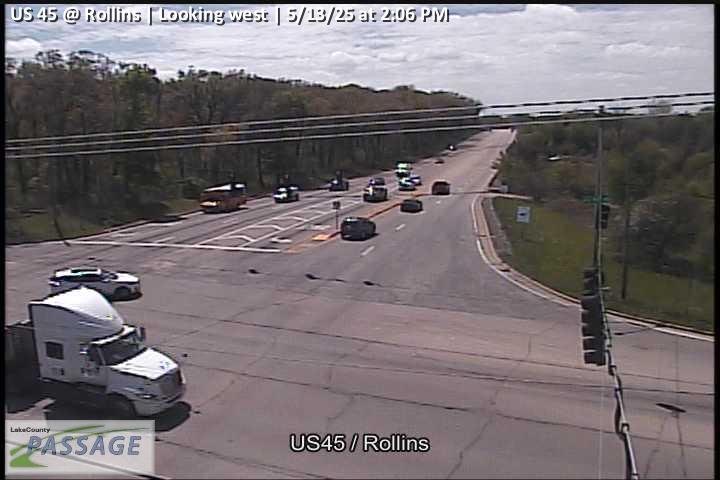 WorkingStill imageUS 45 at Rollins, looking west
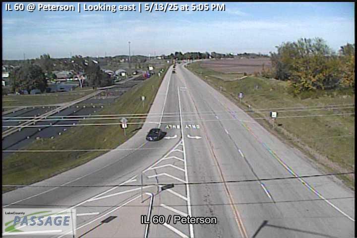 WorkingStill imageIL 60 at Peterson, looking east
 WorkingStill imageUS 45 at IL 132, looking south
_cctv_East_Leg.jpg) WorkingStill imageIL 120 at Hunt Club (Wireless), looking east
WorkingStill imageIL 120 at Hunt Club (Wireless), looking east WorkingStill imageSand Lake at Beck, looking north
 WorkingStill imageIL 83 at Center, looking east
 WorkingStill imageIL 83 at Center, looking north
 WorkingStill imageIL 83 at Center, looking south
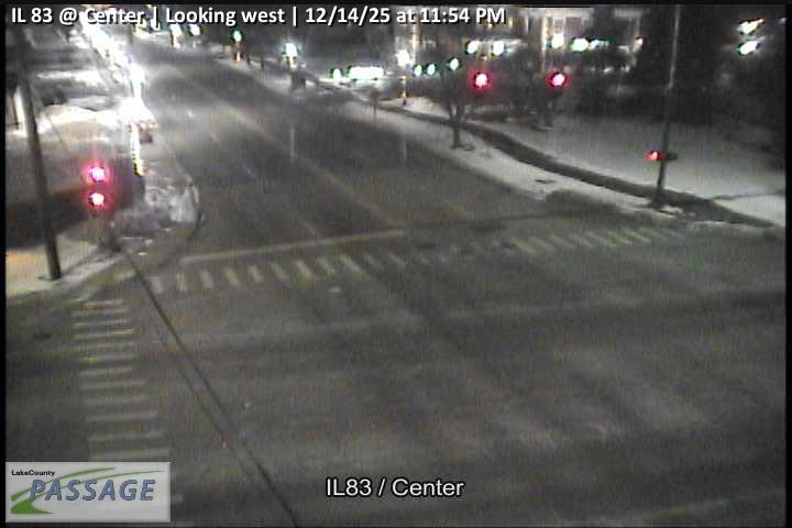 WorkingStill imageIL 83 at Center, looking west
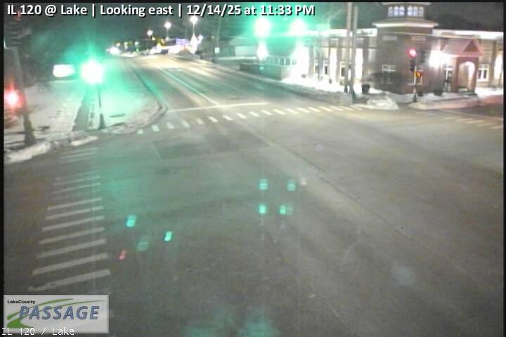 WorkingStill imageIL 120 at Lake, looking east
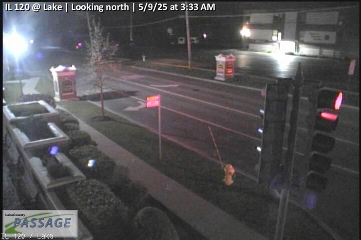 WorkingStill imageIL 120 at Lake, looking north
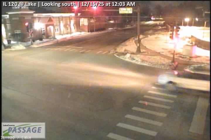 WorkingStill imageIL 120 at Lake, looking south
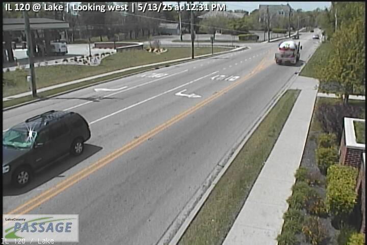 WorkingStill imageIL 120 at Lake, looking west
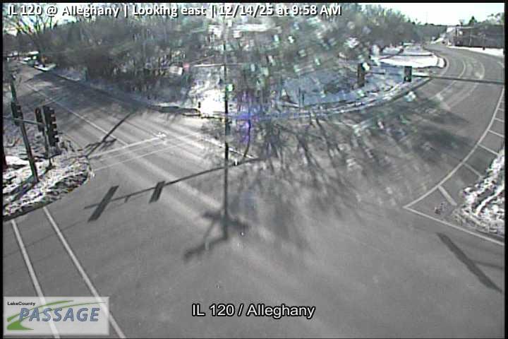 WorkingStill imageIL 120 at Alleghany, looking east
 WorkingStill imageIL 120 at Alleghany, looking south
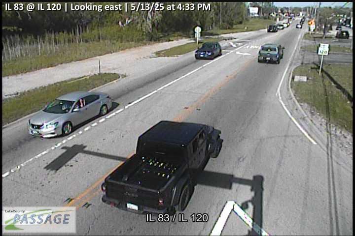 WorkingStill imageIL 83 at IL 120, looking east
 WorkingStill imageIL 83 at IL 120, looking north
 WorkingStill imageIL 83 at IL 120, looking south
 WorkingStill imageIL 83 at IL 120, looking west
 WorkingStill imageIL 83 at Frederick, looking east
 WorkingStill imageIL 83 at Frederick, looking north
 WorkingStill imageIL 83 at Frederick, looking south
 WorkingStill imageWashington at Lake, looking east
 WorkingStill imageWashington at Lake, looking north
 WorkingStill imageWashington at Lake, looking south
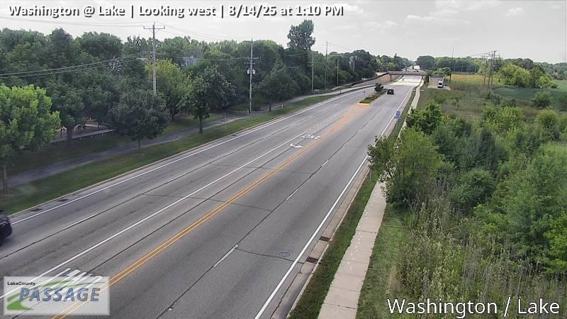 WorkingStill imageWashington at Lake, looking west
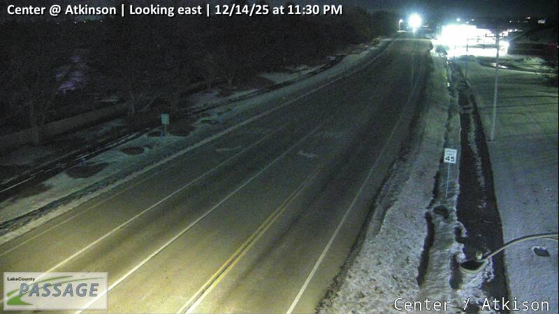 WorkingStill imageCenter at Atkinson, looking east
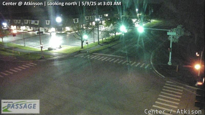 WorkingStill imageCenter at Atkinson, looking north
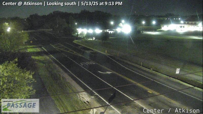 WorkingStill imageCenter at Atkinson, looking south
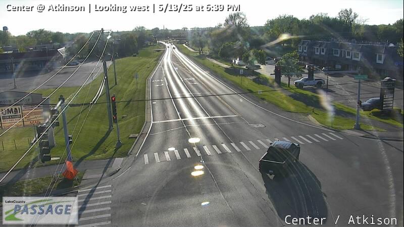 WorkingStill imageCenter at Atkinson, looking west
 WorkingStill imageIL 120 at Atkinson, looking east
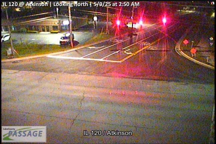 WorkingStill imageIL 120 at Atkinson, looking north
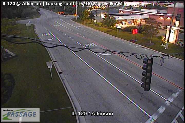 WorkingStill imageIL 120 at Atkinson, looking south
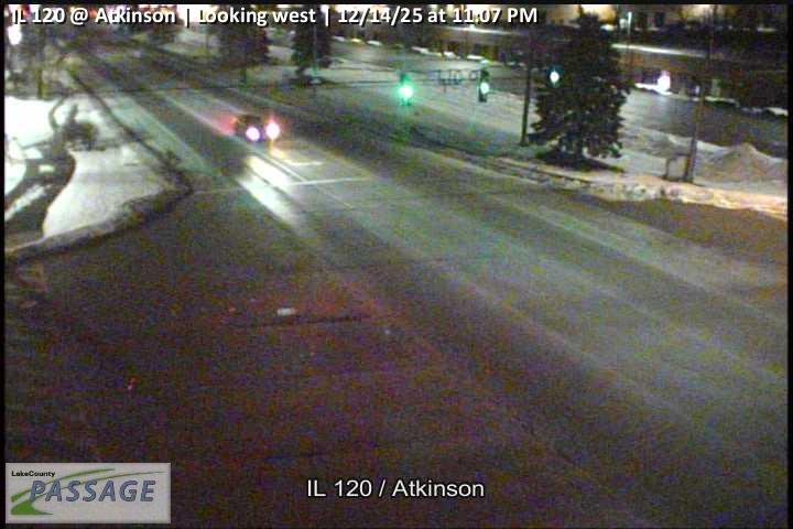 WorkingStill imageIL 120 at Atkinson, looking west
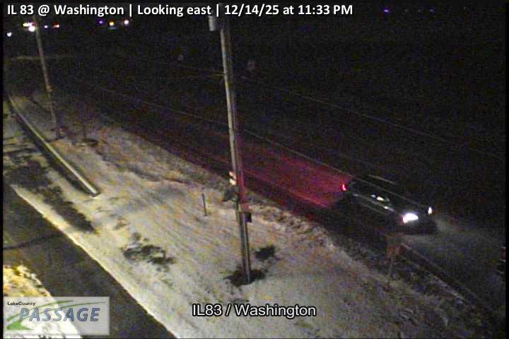 WorkingStill imageIL 83 at Washington, looking east
 WorkingStill imageIL 83 at Washington, looking north
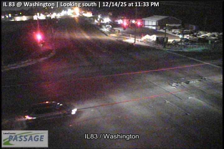 WorkingStill imageIL 83 at Washington, looking south
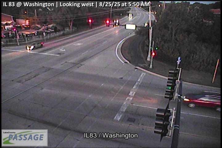 WorkingStill imageIL 83 at Washington, looking west
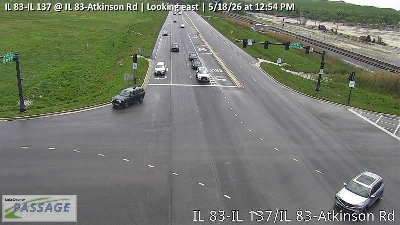 WorkingStill imageIL 83-IL 137 at IL 83-Atkinson Rd, looking east
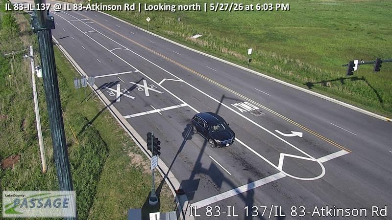 WorkingStill imageIL 83-IL 137 at IL 83-Atkinson Rd, looking north
 WorkingStill imageIL 83-IL 137 at IL 83-Atkinson Rd, looking west
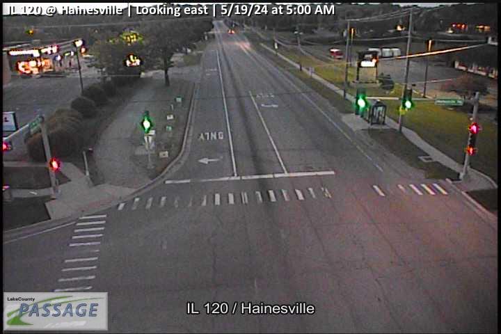 WorkingStill imageIL 120 at Hainesville, looking east
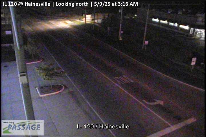 WorkingStill imageIL 120 at Hainesville, looking north
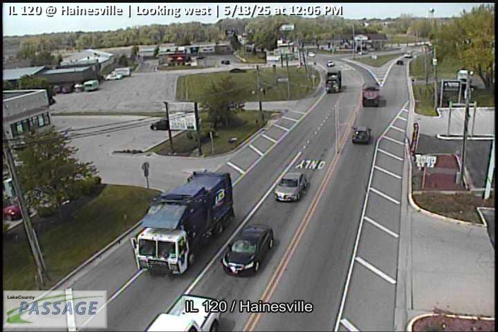 WorkingStill imageIL 120 at Hainesville, looking west
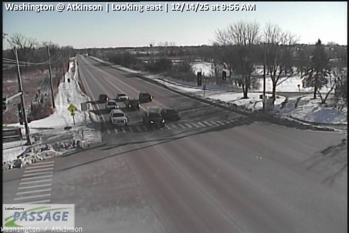 WorkingStill imageWashington at Atkinson, looking east
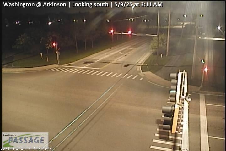 WorkingStill imageWashington at Atkinson, looking south
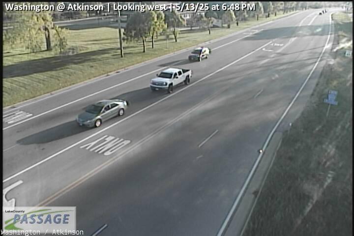 WorkingStill imageWashington at Atkinson, looking west
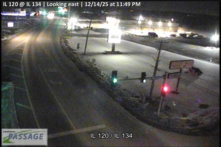 WorkingStill imageIL 120 at IL 134, looking east
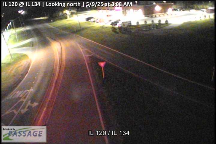 WorkingStill imageIL 120 at IL 134, looking north
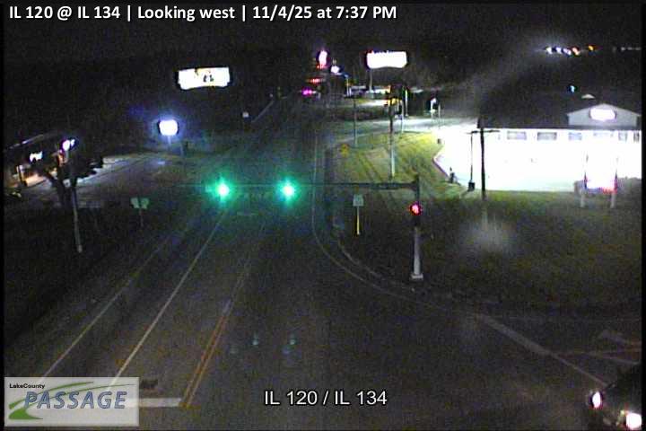 WorkingStill imageIL 120 at IL 134, looking west
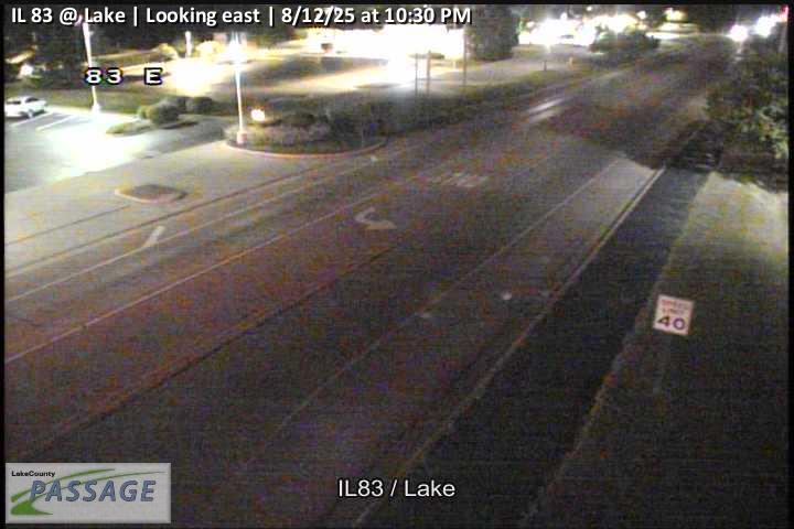 WorkingStill imageIL 83 at Lake, looking east
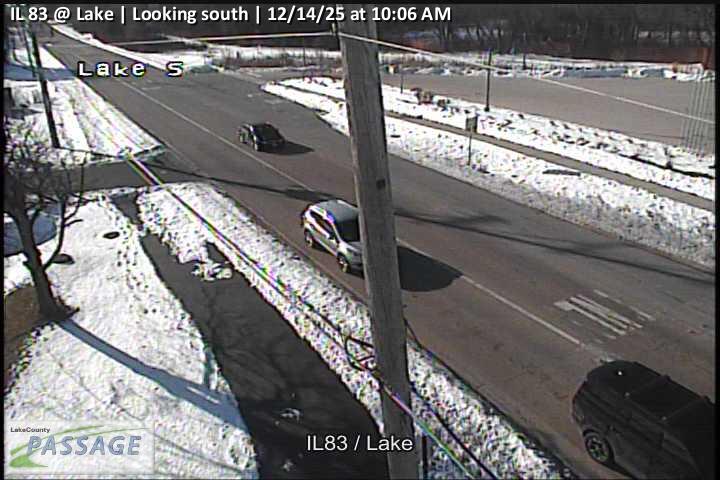 WorkingStill imageIL 83 at Lake, looking south
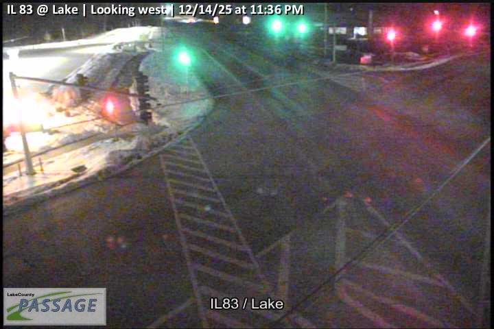 WorkingStill imageIL 83 at Lake, looking west
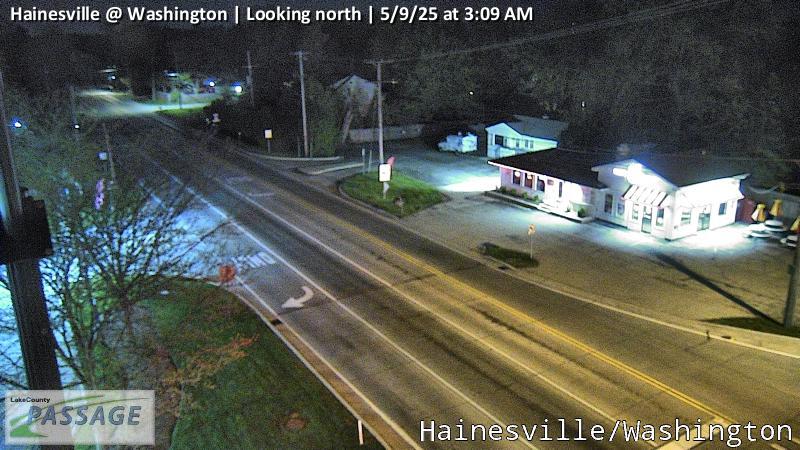 WorkingStill imageHainesville at Washington, looking north
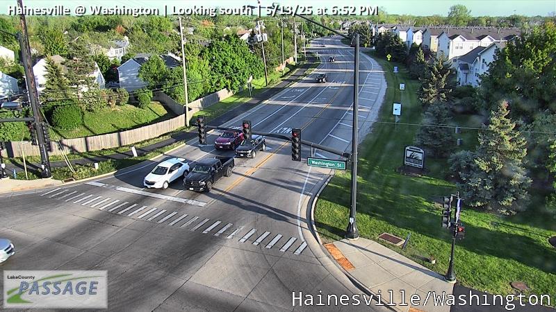 WorkingStill imageHainesville at Washington, looking south
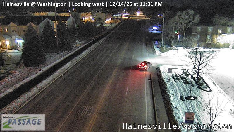 WorkingStill imageHainesville at Washington, looking west
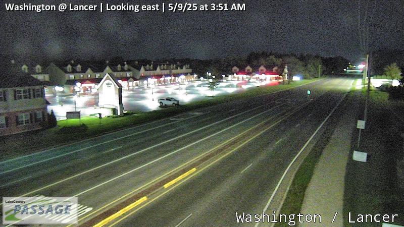 WorkingStill imageWashington at Lancer, looking east
 WorkingStill imageWashington at Lancer, looking west
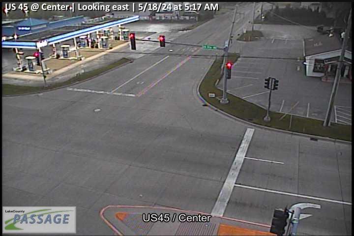 WorkingStill imageUS 45 at Center, looking east
 WorkingStill imageUS 45 at Center, looking north
 WorkingStill imageUS 45 at Center, looking south
 WorkingStill imageUS 45 at Center, looking west
_cctv_East_Leg.jpg) WorkingStill imageUS 45 at IL 120 (NW), looking east
WorkingStill imageUS 45 at IL 120 (NW), looking east_cctv_North_Leg.jpg) WorkingStill imageUS 45 at IL 120 (NW), looking north
WorkingStill imageUS 45 at IL 120 (NW), looking north_cctv_South_Leg.jpg) WorkingStill imageUS 45 at IL 120 (NW), looking south
WorkingStill imageUS 45 at IL 120 (NW), looking south_cctv_West_Leg.jpg) WorkingStill imageUS 45 at IL 120 (NW), looking west
WorkingStill imageUS 45 at IL 120 (NW), looking west_cctv_East_Leg.jpg) WorkingStill imageUS 45 at IL 120 (SW), looking east
WorkingStill imageUS 45 at IL 120 (SW), looking east_cctv_North_Leg.jpg) WorkingStill imageUS 45 at IL 120 (SW), looking north
WorkingStill imageUS 45 at IL 120 (SW), looking north_cctv_West_Leg.jpg) WorkingStill imageUS 45 at IL 120 (SW), looking west
WorkingStill imageUS 45 at IL 120 (SW), looking west WorkingStill imageIL 83 at Shorewood, looking east
 WorkingStill imageIL 83 at Shorewood, looking north
 WorkingStill imageIL 83 at Shorewood, looking south
 WorkingStill imageIL 83 at Shorewood, looking west
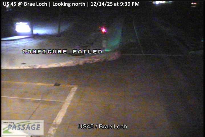 WorkingStill imageUS 45 at Brae Loch, looking north
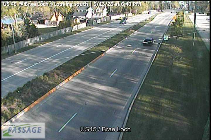 WorkingStill imageUS 45 at Brae Loch, looking south
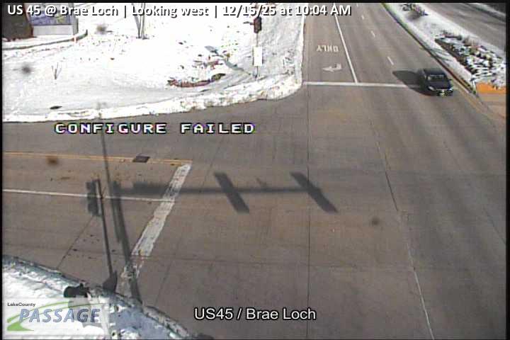 WorkingStill imageUS 45 at Brae Loch, looking west
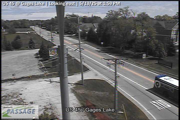 WorkingStill imageUS 45 at Gages Lake, looking east
 WorkingStill imageUS 45 at Gages Lake, looking north
 WorkingStill imageUS 45 at Gages Lake, looking south
 WorkingStill imageUS 45 at Gages Lake, looking west
 WorkingStill imageWashington at Mainsail, looking east
 WorkingStill imageWashington at Mainsail, looking west
 WorkingStill imageIL 137 at Casey, looking east
 WorkingStill imageIL 137 at Casey, looking north
 WorkingStill imageIL 137 at Casey, looking south
 WorkingStill imageIL 137 at Casey, looking west
 WorkingStill imageHainesville at Shorewood, looking north
 WorkingStill imageHainesville at Shorewood, looking south
 WorkingStill imageIL 83 at Brighton, looking east
 WorkingStill imageIL 83 at Brighton, looking north
 WorkingStill imageIL 83 at Brighton, looking south
 WorkingStill imageUS 45 at Washington, looking east
 WorkingStill imageUS 45 at Washington, looking north
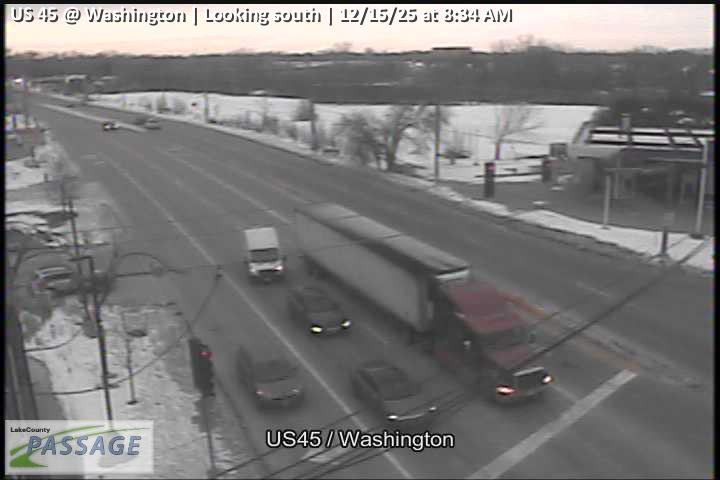 WorkingStill imageUS 45 at Washington, looking south
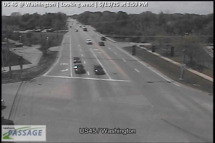 WorkingStill imageUS 45 at Washington, looking west
 WorkingStill imageUS 45 at Casey, looking east
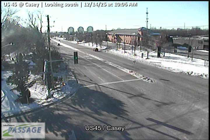 WorkingStill imageUS 45 at Casey, looking south
 WorkingStill imageUS 45 at Casey, looking west
 WorkingStill imagePeterson at Cornerstone, looking east
 WorkingStill imagePeterson at Cornerstone, looking north
 WorkingStill imagePeterson at Cornerstone, looking west
 WorkingStill imageHainesville at Rollins, looking east
 WorkingStill imageHainesville at Rollins, looking south
 WorkingStill imageHainesville at Rollins, looking west
 WorkingStill imageIL 83 at Rollins, looking east
 WorkingStill imageIL 83 at Rollins, looking north
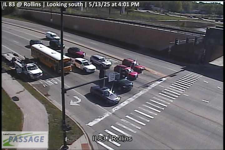 WorkingStill imageIL 83 at Rollins, looking south
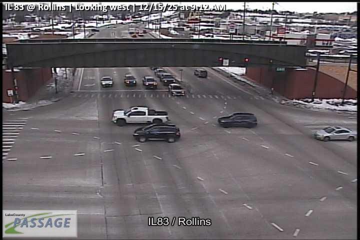 WorkingStill imageIL 83 at Rollins, looking west
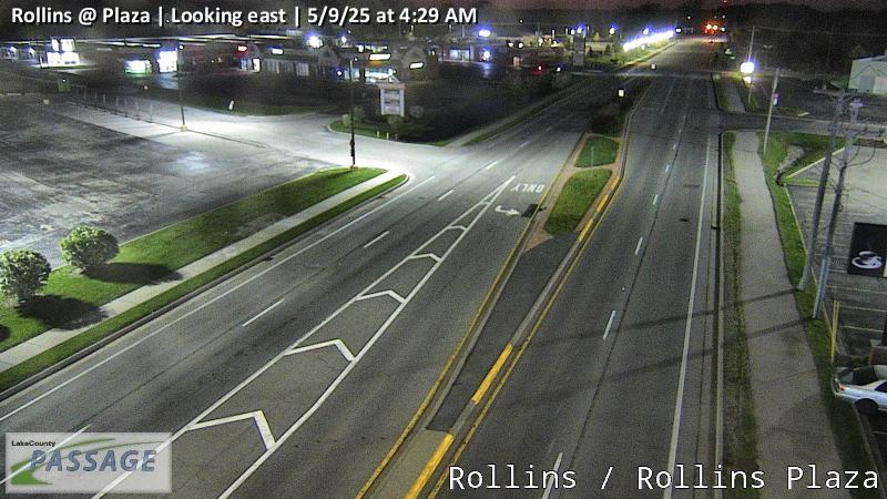 WorkingStill imageRollins at Plaza, looking east
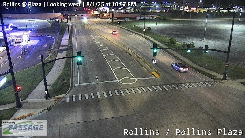 WorkingStill imageRollins at Plaza, looking west
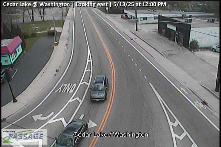 WorkingStill imageCedar Lake at Washington, looking east
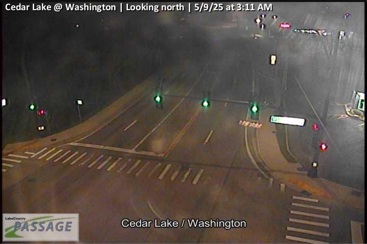 WorkingStill imageCedar Lake at Washington, looking north
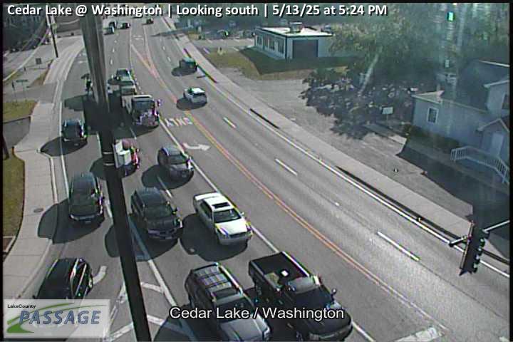 WorkingStill imageCedar Lake at Washington, looking south
_cctv_East_Leg.jpg) WorkingStill imageAlleghany at Peterson (NW), looking east
WorkingStill imageAlleghany at Peterson (NW), looking east_cctv_North_Leg.jpg) WorkingStill imageAlleghany at Peterson (NW), looking north
WorkingStill imageAlleghany at Peterson (NW), looking north_cctv_West_Leg.jpg) WorkingStill imageAlleghany at Peterson (NW), looking west
WorkingStill imageAlleghany at Peterson (NW), looking west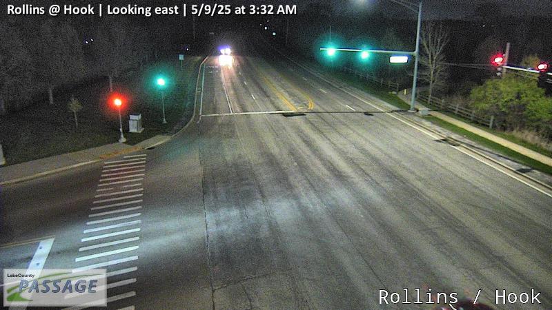 WorkingStill imageRollins at Hook, looking east
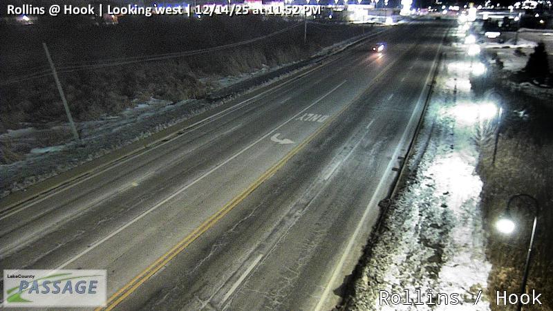 WorkingStill imageRollins at Hook, looking west
_cctv_East_Leg.jpg) WorkingStill imageAlleghany at Peterson (SW), looking east
WorkingStill imageAlleghany at Peterson (SW), looking east_cctv_North_Leg.jpg) WorkingStill imageAlleghany at Peterson (SW), looking north
WorkingStill imageAlleghany at Peterson (SW), looking north_cctv_West_Leg.jpg) WorkingStill imageAlleghany at Peterson (SW), looking west
WorkingStill imageAlleghany at Peterson (SW), looking west WorkingStill imageRollins at Civic Center Way, looking north
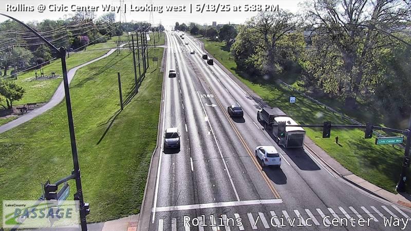 WorkingStill imageRollins at Civic Center Way, looking west
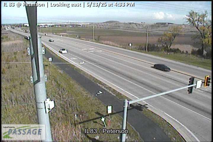 WorkingStill imageIL 83 at Peterson, looking east
 WorkingStill imageIL 83 at Peterson, looking north
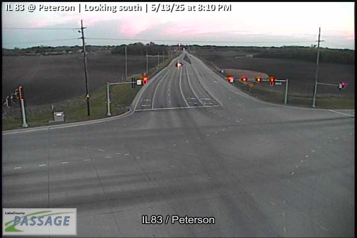 WorkingStill imageIL 83 at Peterson, looking south
 WorkingStill imageIL 83 at Peterson, looking west
 WorkingStill imageCedar Lake at Rosedale, looking north
 WorkingStill imageCedar Lake at Rosedale, looking south
 WorkingStill imageCedar Lake at Hart, looking north
 WorkingStill imageCedar Lake at Hart, looking south
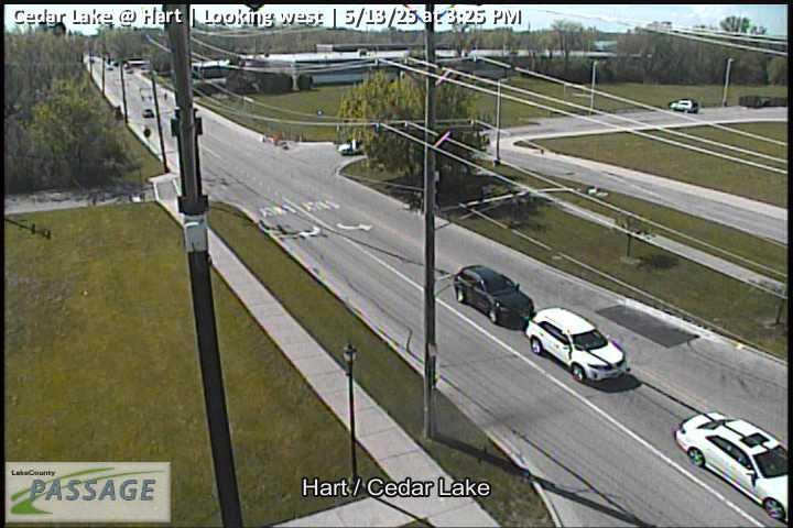 WorkingStill imageCedar Lake at Hart, looking west
 WorkingStill imageUS 45 at IL 137, looking east
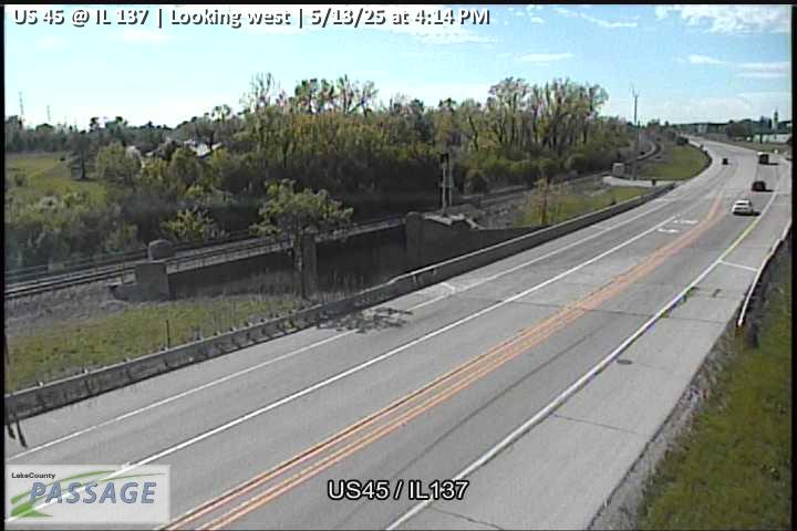 WorkingStill imageUS 45 at IL 137, looking west
 WorkingStill imageMidlothian at Peterson, looking east
 WorkingStill imageMidlothian at Peterson, looking north
 WorkingStill imageMidlothian at Peterson, looking south
 WorkingStill imageMidlothian at Peterson, looking west
 WorkingStill imageIL 83 at Hook, looking east
 WorkingStill imageIL 83 at Hook, looking north
 WorkingStill imageIL 83 at Hook, looking south
 WorkingStill imageIL 83 at Hook, looking west
 WorkingStill imageRollins at Orchard, looking east
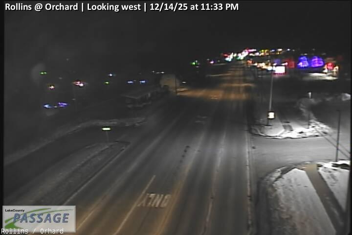 WorkingStill imageRollins at Orchard, looking west
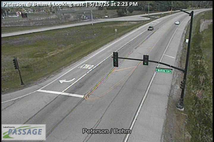 WorkingStill imagePeterson at Behm, looking east
 WorkingStill imagePeterson at Behm, looking north
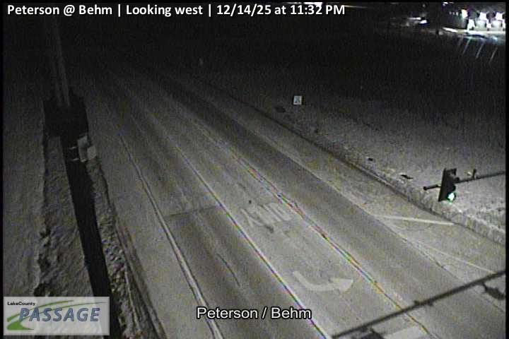 WorkingStill imagePeterson at Behm, looking west
 WorkingStill imageCedar Lake at Clarendon, looking north
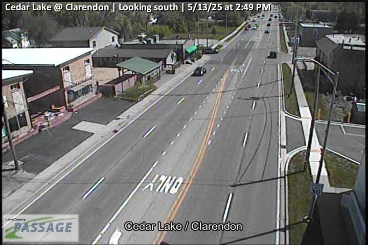 WorkingStill imageCedar Lake at Clarendon, looking south
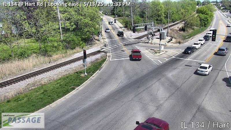 WorkingStill imageIL 134 at Hart Rd, looking east
 WorkingStill imageIL 134 at Hart Rd, looking north
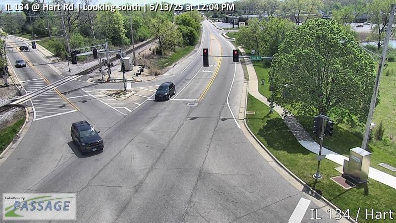 WorkingStill imageIL 134 at Hart Rd, looking south
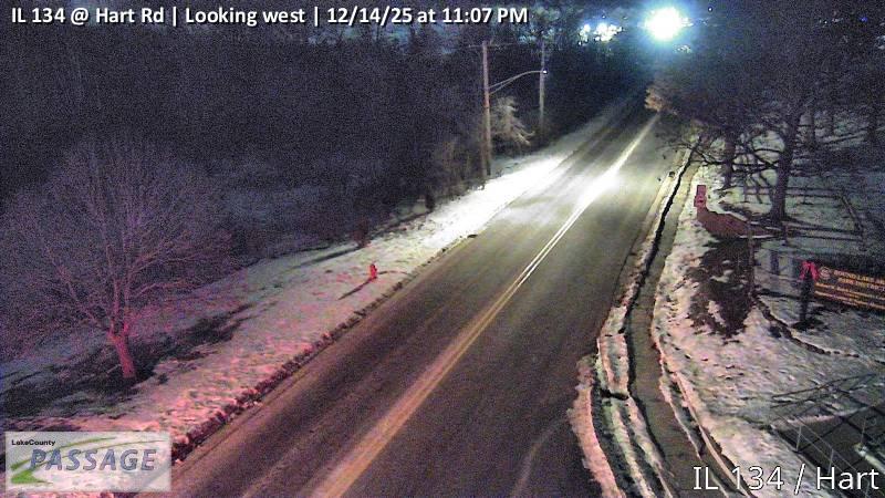 WorkingStill imageIL 134 at Hart Rd, looking west
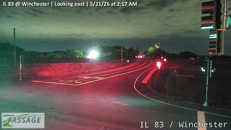 WorkingStill imageIL 83 at Winchester, looking east
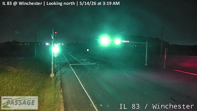 WorkingStill imageIL 83 at Winchester, looking north
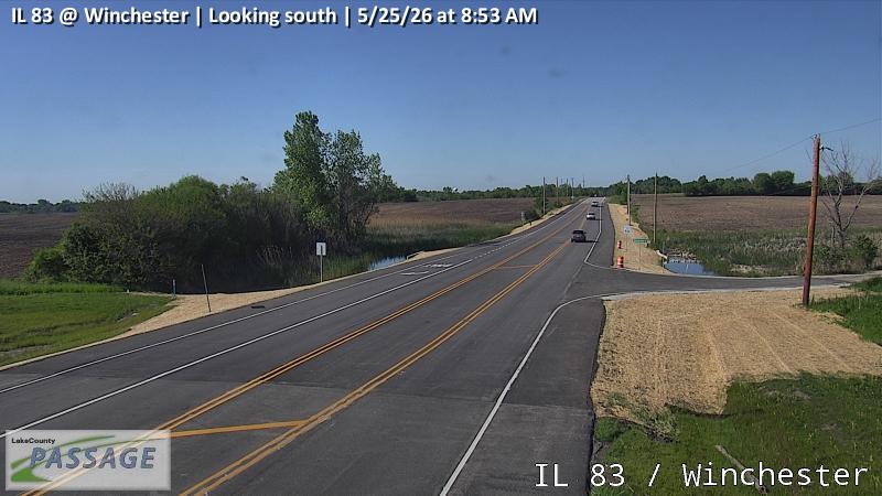 WorkingStill imageIL 83 at Winchester, looking south
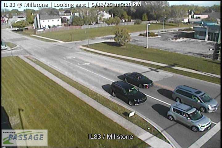 WorkingStill imageIL 83 at Millstone, looking east
 WorkingStill imageIL 83 at Millstone, looking north
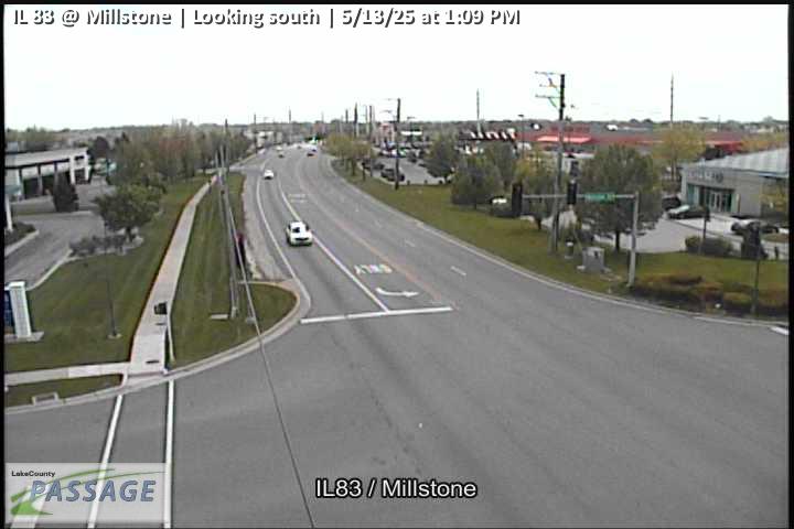 WorkingStill imageIL 83 at Millstone, looking south
 WorkingStill imageIL 83 at Millstone, looking west
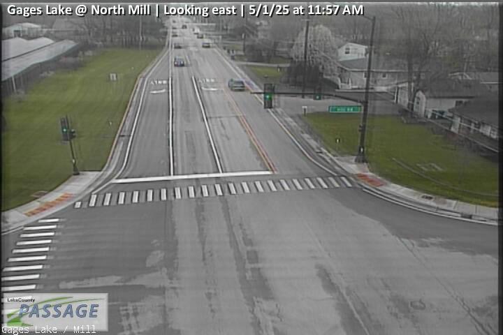 WorkingStill imageGages Lake at North Mill, looking east
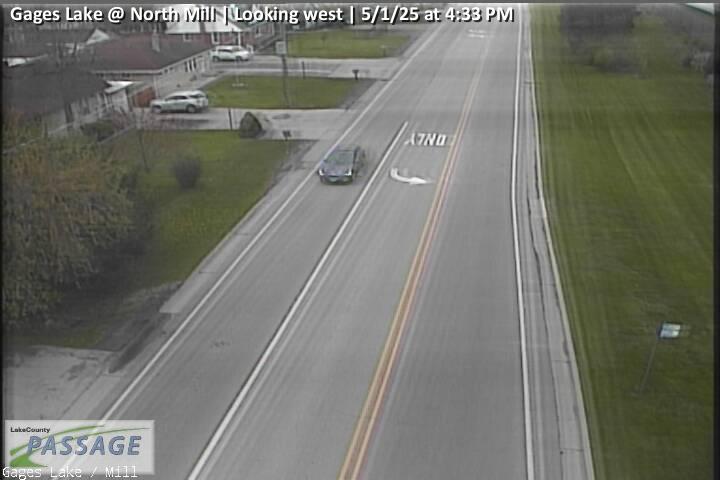 WorkingStill imageGages Lake at North Mill, looking west
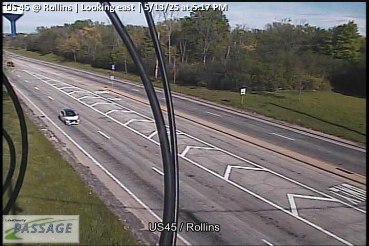 WorkingStill imageUS 45 at Rollins, looking east
 WorkingStill imageUS 45 at Rollins, looking north
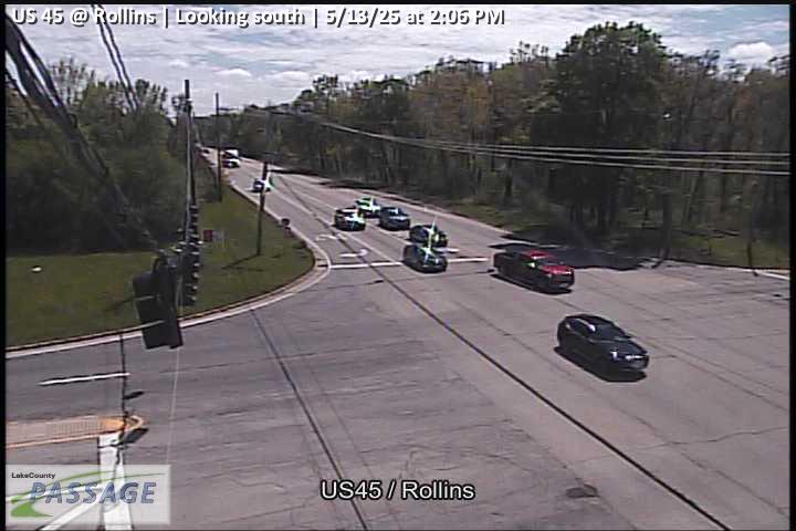 WorkingStill imageUS 45 at Rollins, looking south
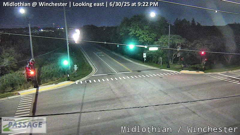 WorkingStill imageMidlothian at Winchester, looking east
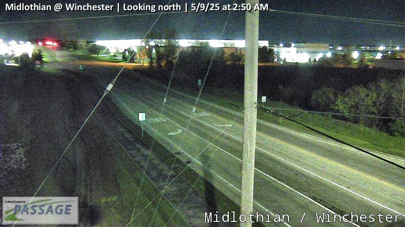 WorkingStill imageMidlothian at Winchester, looking north
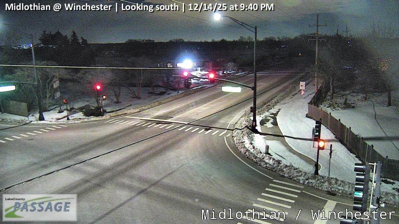 WorkingStill imageMidlothian at Winchester, looking south
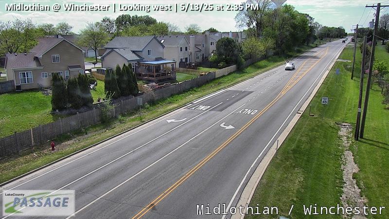 WorkingStill imageMidlothian at Winchester, looking west
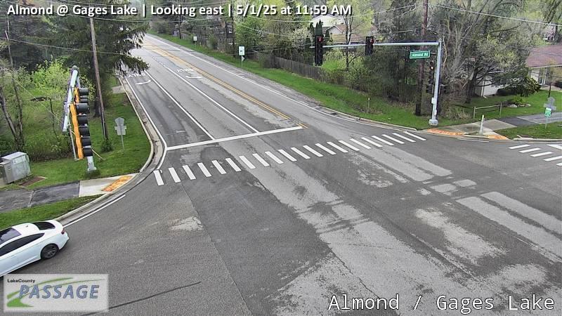 WorkingStill imageAlmond at Gages Lake, looking east
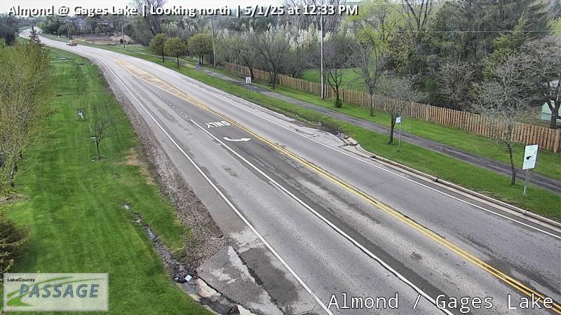 WorkingStill imageAlmond at Gages Lake, looking north
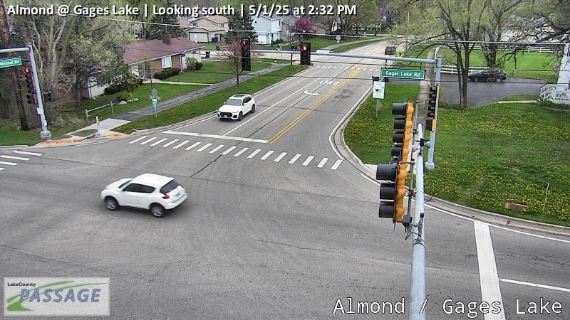 WorkingStill imageAlmond at Gages Lake, looking south
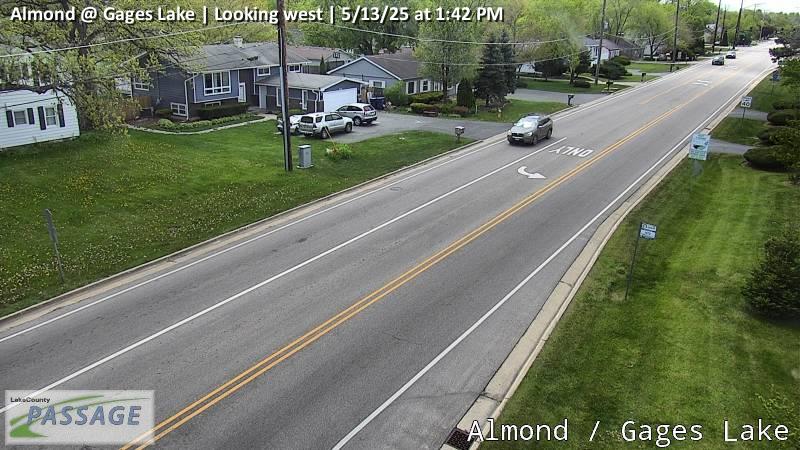 WorkingStill imageAlmond at Gages Lake, looking west
 WorkingStill imageAlmond at Julie, looking north
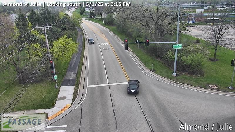 WorkingStill imageAlmond at Julie, looking south
 WorkingStill imageIL 60 at Peterson, looking north
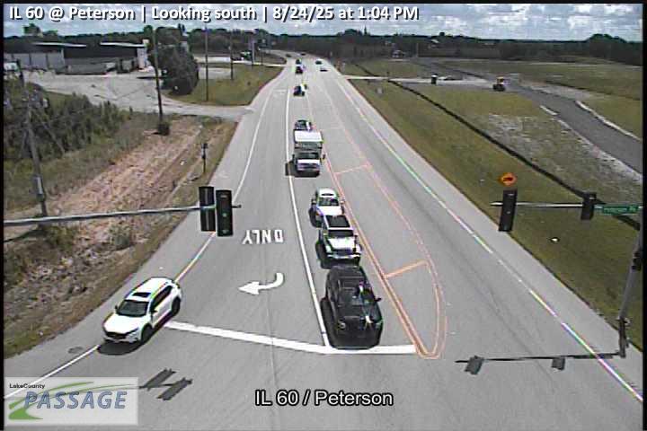 WorkingStill imageIL 60 at Peterson, looking south
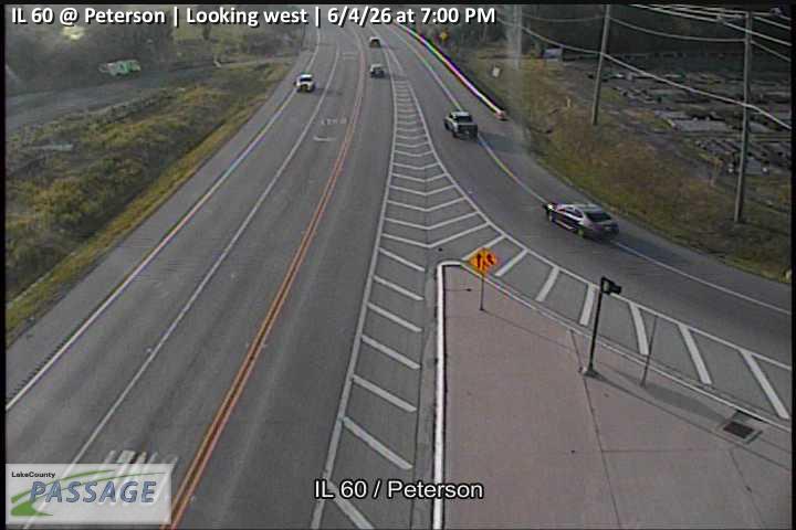 WorkingStill imageIL 60 at Peterson, looking west
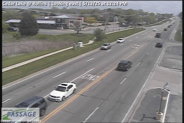 WorkingStill imageCedar Lake at Rollins, looking east
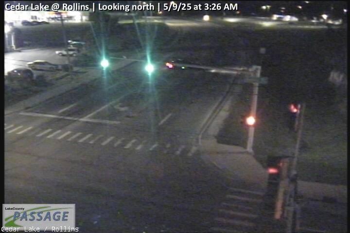 WorkingStill imageCedar Lake at Rollins, looking north
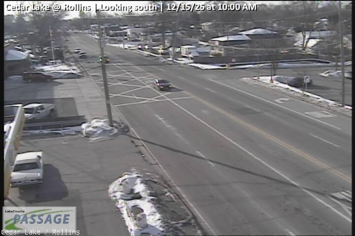 WorkingStill imageCedar Lake at Rollins, looking south
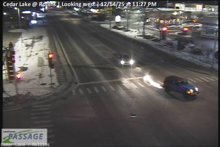 WorkingStill imageCedar Lake at Rollins, looking west
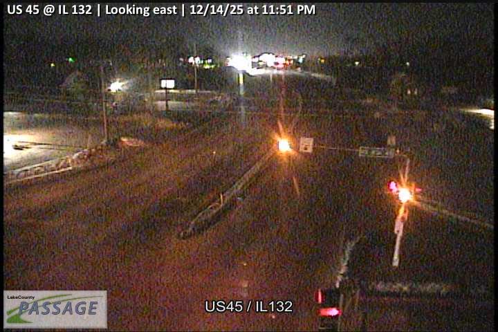 WorkingStill imageUS 45 at IL 132, looking east
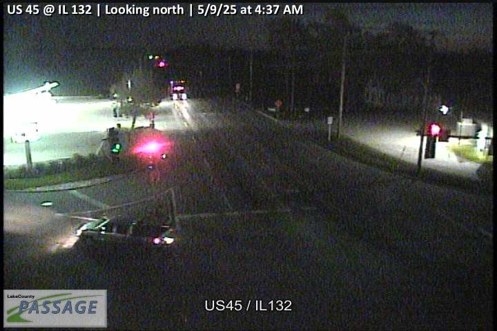 WorkingStill imageUS 45 at IL 132, looking north
 WorkingStill imageUS 45 at IL 132, looking west
 WorkingStill imageAlmond at Washington, looking east
 WorkingStill imageAlmond at Washington, looking north
 WorkingStill imageAlmond at Washington, looking south
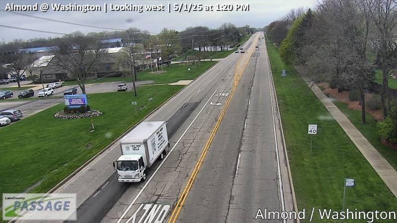 WorkingStill imageAlmond at Washington, looking west
_cctv_North_Leg.jpg) WorkingStill imageCedar Lake at Amarias (Wireless), looking north
WorkingStill imageCedar Lake at Amarias (Wireless), looking north_cctv_South_Leg.jpg) WorkingStill imageCedar Lake at Amarias (Wireless), looking south
WorkingStill imageCedar Lake at Amarias (Wireless), looking south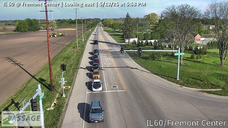 WorkingStill imageIL 60 at Fremont Center, looking east
 WorkingStill imageIL 60 at Fremont Center, looking south
 WorkingStill imageIL 60 at Fremont Center, looking west
No live video among these cameras. Turn off "Live video only" to see them all.
Best cams to watch
- IL 83-IL 137 at IL 83-Atkinson Rd, looking south — Still image · every 10 min, working 100 % of the time in the last 30 days.
- IL 83 at Lake, looking north — Still image · every 10 min, working 100 % of the time in the last 30 days.
- Hainesville at Washington, looking east — Still image · every 10 min, working 100 % of the time in the last 30 days.
Grayslake takes its name from William M. Gray, a Massachusetts settler who arrived in 1840 beside the small lake that now carries his name. Today it is a village of about 21,200 people (2020 census) spread over roughly eleven square miles in central Lake County, around 40 miles north of downtown Chicago. It has a quieter, more residential feel than the lakefront cities, with older streets near the historic center and newer neighborhoods such as Prairie Crossing, a planned development built around open land.
Grayslake is also something of a county crossroads. The main campus of the College of Lake County is here, along with the University Center of Lake County, and every summer the Lake County Fair fills the fairgrounds on Peterson Road. Two Metra stations serve the village, one on the Milwaukee District North Line and one on the North Central Service.
Road views around the village
The 138 cameras on this page are traffic cameras from the Illinois Department of Transportation’s Gateway traveler information system. They cover the corridors that cross Grayslake, including US-45 and Illinois Routes 120, 83 and 137, routes that tend to slow down at rush hour. Images refresh at intervals, so a view may be a still picture that updates every few minutes.
Clock time here is Central. In summer you have light until about 8:30 p.m.; in December the views go dark by around 4:30 p.m. Fair week is a good time to watch traffic gather near the fairgrounds, and the start of college semesters in late August and January adds morning volume. Winter snow and spring rain both show up clearly on the open, flat roads of this part of the county.
Round Lake and Round Lake Beach are just to the northwest, and Gurnee’s theme park and outlet mall are a short drive northeast. Cameras from those neighbors fall within this page’s radius as well.
Sources: Grayslake, Illinois - Wikipedia · Lake County Fair 2026 - Lake County Fairgrounds & Event Center.
Nearby places
- Waukegan (620)
- Wheaton (617)
- North Peoria (554)
- Peoria (553)
- Naperville (475)
- Gurnee (386)
- Palatine (354)
- Round Lake Beach (344)
Questions about Grayslake
How many live cameras are there in Grayslake?
LiveLocation lists 200 cameras in and around Grayslake, United States: 0 live video, 200 still images. 200 of them were live or showing a fresh image at the last check.
Where do the Grayslake cameras come from?
All of them come from Illinois DOT (200). Each camera plays straight from the agency or owner that runs it, with credit. Illinois DOT
What kinds of views are there in Grayslake?
All of them show traffic and highway (200). Good ones to start with: IL 83-IL 137 at IL 83-Atkinson Rd, looking south and IL 83 at Lake, looking north. IL 83-IL 137 at IL 83-Atkinson Rd, looking south IL 83 at Lake, looking north
Is there live video from Grayslake?
Not yet: the cameras here send still images that refresh about every 10 minutes. The map can show only live-video cameras nearby. Live video on the map
When is the best time to watch the Grayslake cameras?
Grayslake is on America/Chicago time. On October 7 the sun rises at 6:56 AM and sets at 6:23 PM, so still images are clearest between those times. Road cameras show the most traffic in the weekday morning and evening rush hours.
Are there live cameras near Grayslake?
The nearest are Round Lake (2.7 mi away, 298 cameras), Round Lake Beach (3.1 mi away, 344 cameras) and Mundelein (5.9 mi away, 271 cameras). Round Lake Round Lake Beach Mundelein
Is there a map of the cameras in Grayslake?
The map at the top of this page shows all 200 of them. The live camera radar centers on Grayslake and lists every camera within 5 to 250 miles, nearest first, with filters for live video, traffic, nature and more. Open the radar on Grayslake
Place names and locations: GeoNames, licensed under CC BY 4.0.