Live cameras in Gurnee, United States
200 cameras: 0 live video, 200 still images · 200 working now · updated Oct 8, 03:32 UTC
Gurnee has 200 live cameras on LiveLocation right now: 0 live video, 200 still images. Good places to start: US 41 east ramp at Washington, looking south, Lewis at Ridgeland, looking north, Lewis at Sunset, looking west. Local time is 10:32 PM (America/Chicago). Today the sun rises at 6:55 AM and sets at 6:23 PM.
Gurnee live cameras
Watch Gurnee live webcams: 0 live video, 200 still images. 200 were working at the last check. Gurnee is home to about 31,000 people.
Weather now in Gurnee: 59 °F (15 °C), partly cloudy, wind 10 mph (16 km/h) from the west. Forecast for 11 PM local time. Weather: MET Norway (CC BY 4.0)
 WorkingStill imageUS 41 east ramp at Washington, looking south
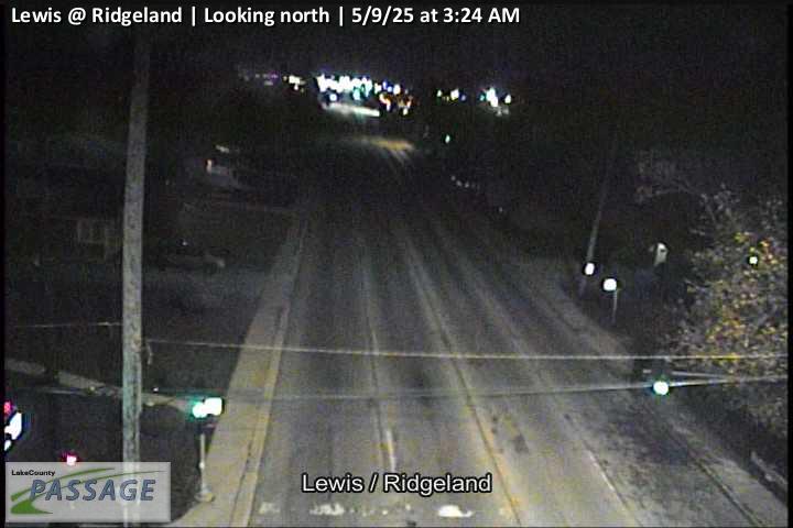 WorkingStill imageLewis at Ridgeland, looking north
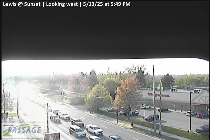 WorkingStill imageLewis at Sunset, looking west
_cctv_East_Leg.jpg) WorkingStill imageIL 120 at Hunt Club (Wireless), looking east
WorkingStill imageIL 120 at Hunt Club (Wireless), looking east WorkingStill imageLewis at Wadsworth, looking east
_cctv_East_Leg.jpg) WorkingStill imageUS 41 at IL 132 (NW), looking east
WorkingStill imageUS 41 at IL 132 (NW), looking east_cctv_North_Leg.jpg) WorkingStill imageUS 41 at IL 132 (NW), looking north
WorkingStill imageUS 41 at IL 132 (NW), looking north_cctv_South_Leg.jpg) WorkingStill imageUS 41 at IL 132 (NW), looking south
WorkingStill imageUS 41 at IL 132 (NW), looking south_cctv_West_Leg.jpg) WorkingStill imageUS 41 at IL 132 (NW), looking west
WorkingStill imageUS 41 at IL 132 (NW), looking west_cctv_East_Leg.jpg) WorkingStill imageUS 41 at IL 132 (SE), looking east
WorkingStill imageUS 41 at IL 132 (SE), looking east_cctv_North_Leg.jpg) WorkingStill imageUS 41 at IL 132 (SE), looking north
WorkingStill imageUS 41 at IL 132 (SE), looking north_cctv_South_Leg.jpg) WorkingStill imageUS 41 at IL 132 (SE), looking south
WorkingStill imageUS 41 at IL 132 (SE), looking south_cctv_West_Leg.jpg) WorkingStill imageUS 41 at IL 132 (SE), looking west
WorkingStill imageUS 41 at IL 132 (SE), looking west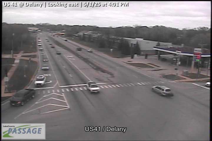 WorkingStill imageUS 41 at Delany, looking east
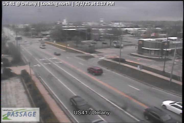 WorkingStill imageUS 41 at Delany, looking north
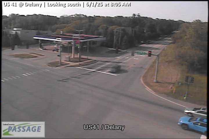 WorkingStill imageUS 41 at Delany, looking south
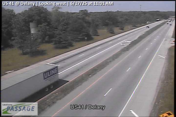 WorkingStill imageUS 41 at Delany, looking west
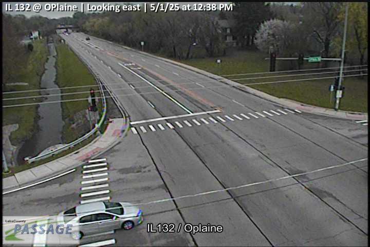 WorkingStill imageIL 132 at OPlaine, looking east
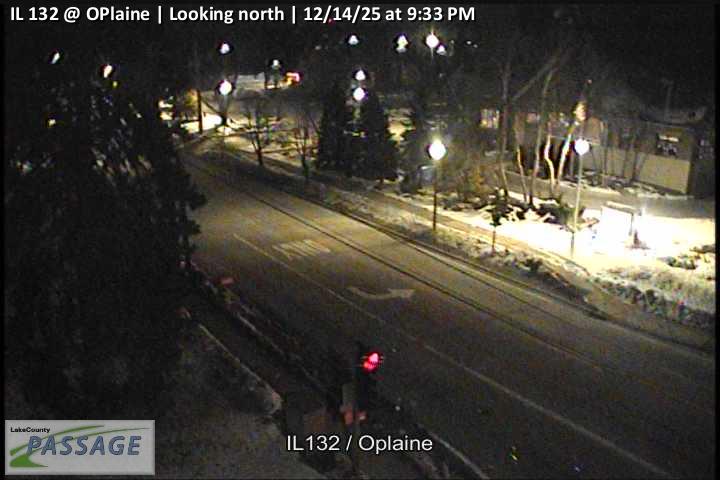 WorkingStill imageIL 132 at OPlaine, looking north
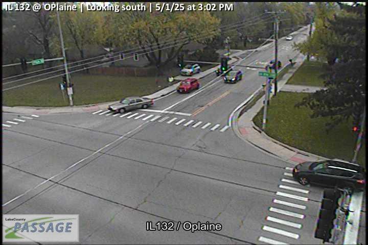 WorkingStill imageIL 132 at OPlaine, looking south
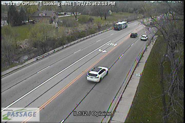 WorkingStill imageIL 132 at OPlaine, looking west
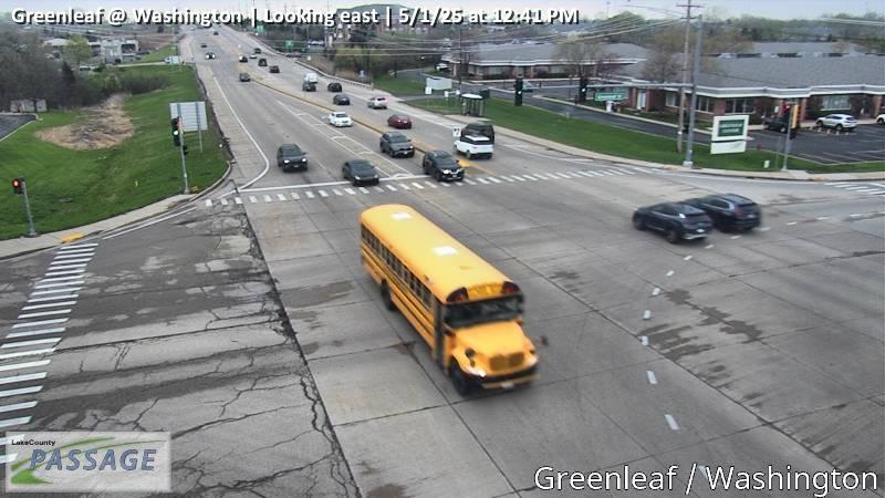 WorkingStill imageGreenleaf at Washington, looking east
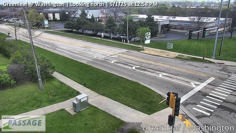 WorkingStill imageGreenleaf at Washington, looking north
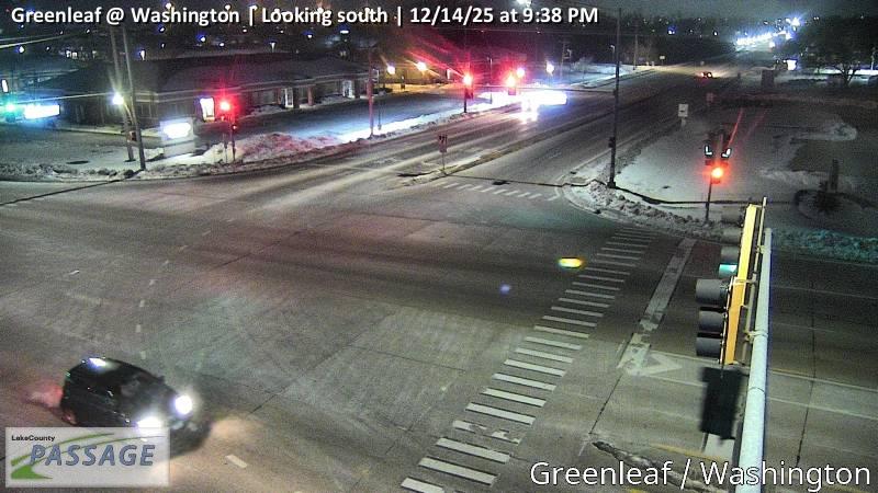 WorkingStill imageGreenleaf at Washington, looking south
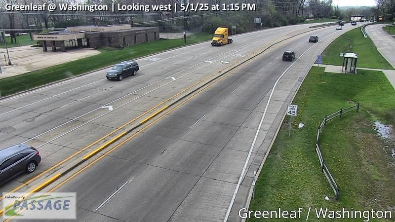 WorkingStill imageGreenleaf at Washington, looking west
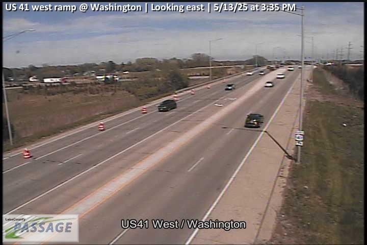 WorkingStill imageUS 41 west ramp at Washington, looking east
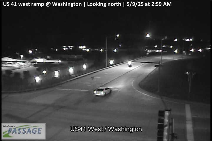 WorkingStill imageUS 41 west ramp at Washington, looking north
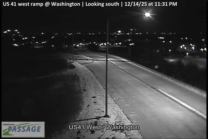 WorkingStill imageUS 41 west ramp at Washington, looking south
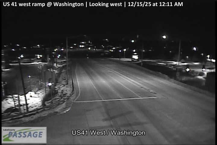 WorkingStill imageUS 41 west ramp at Washington, looking west
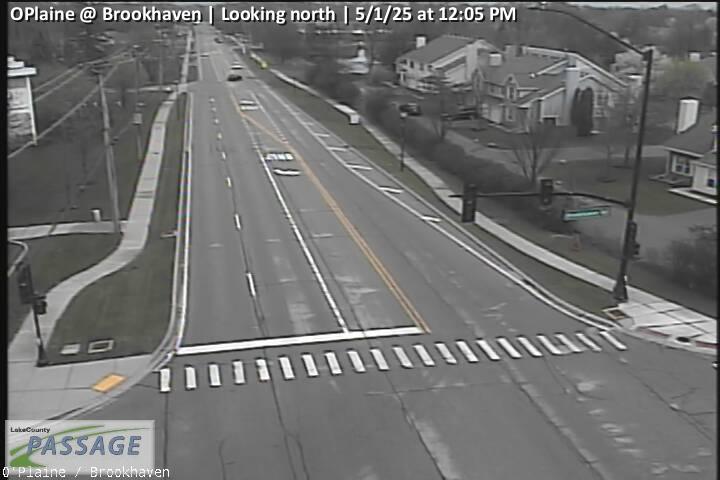 WorkingStill imageOPlaine at Brookhaven, looking north
 WorkingStill imageOPlaine at Brookhaven, looking south
 WorkingStill imageUS 41 east ramp at Washington, looking east
 WorkingStill imageUS 41 east ramp at Washington, looking north
 WorkingStill imageUS 41 east ramp at Washington, looking west
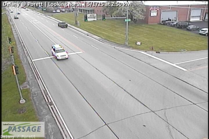 WorkingStill imageDelany at Porett, looking north
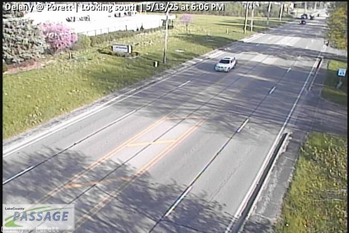 WorkingStill imageDelany at Porett, looking south
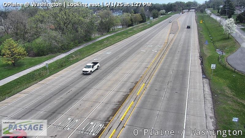 WorkingStill imageOPlaine at Washington, looking east
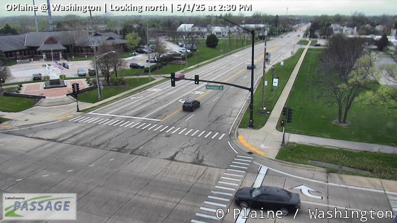 WorkingStill imageOPlaine at Washington, looking north
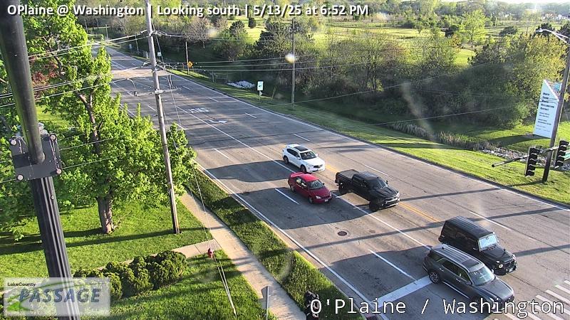 WorkingStill imageOPlaine at Washington, looking south
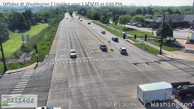 WorkingStill imageOPlaine at Washington, looking west
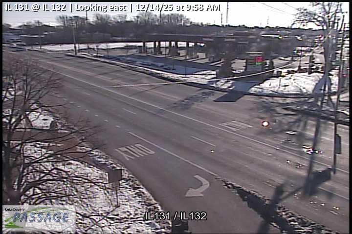 WorkingStill imageIL 131 at IL 132, looking east
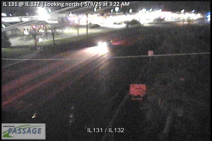 WorkingStill imageIL 131 at IL 132, looking north
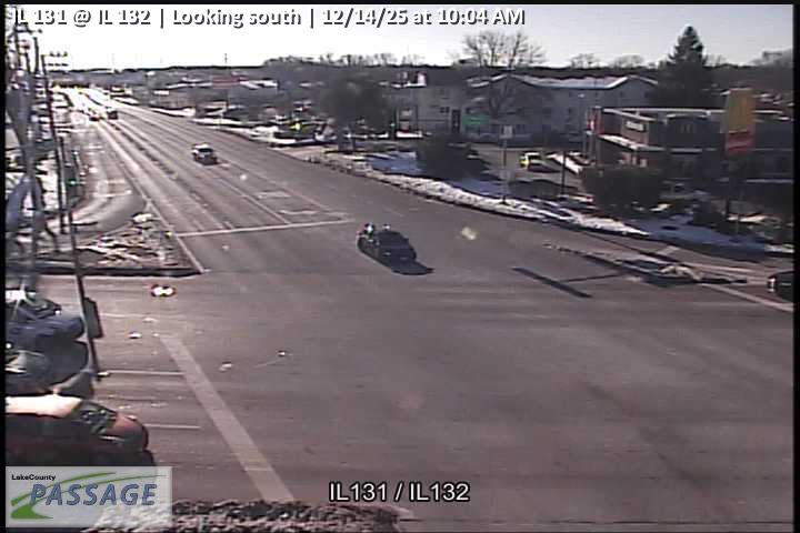 WorkingStill imageIL 131 at IL 132, looking south
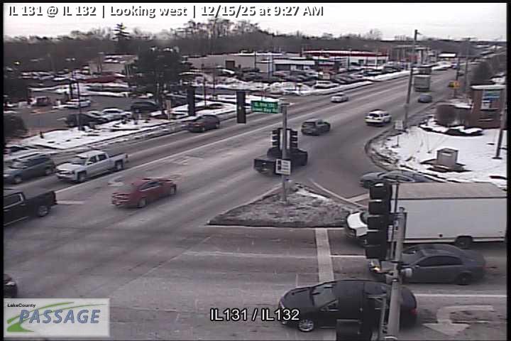 WorkingStill imageIL 131 at IL 132, looking west
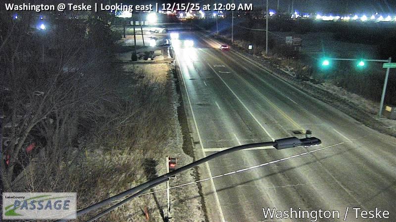 WorkingStill imageWashington at Teske, looking east
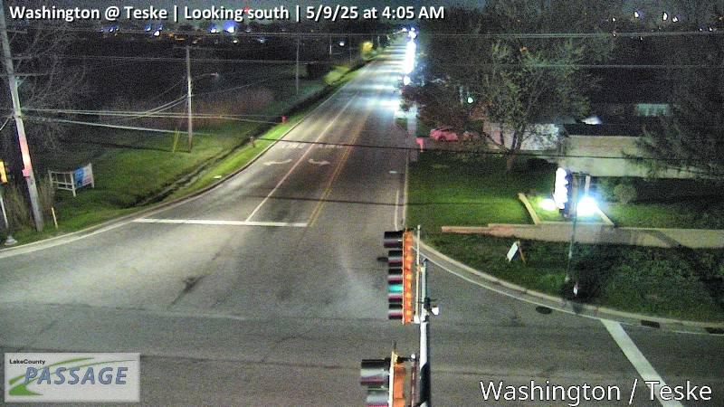 WorkingStill imageWashington at Teske, looking south
 WorkingStill imageWashington at Teske, looking west
 WorkingStill imageIL 21 at IL 132, looking east
 WorkingStill imageIL 21 at IL 132, looking north
 WorkingStill imageIL 21 at IL 132, looking south
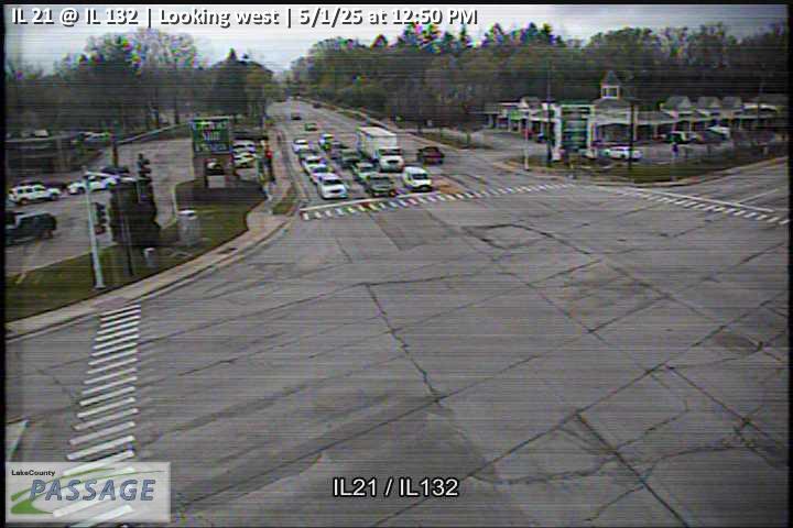 WorkingStill imageIL 21 at IL 132, looking west
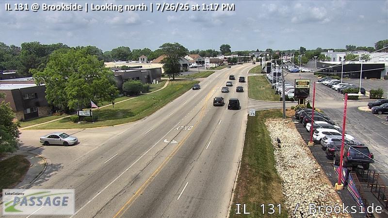 WorkingStill imageIL 131 at Brookside, looking north
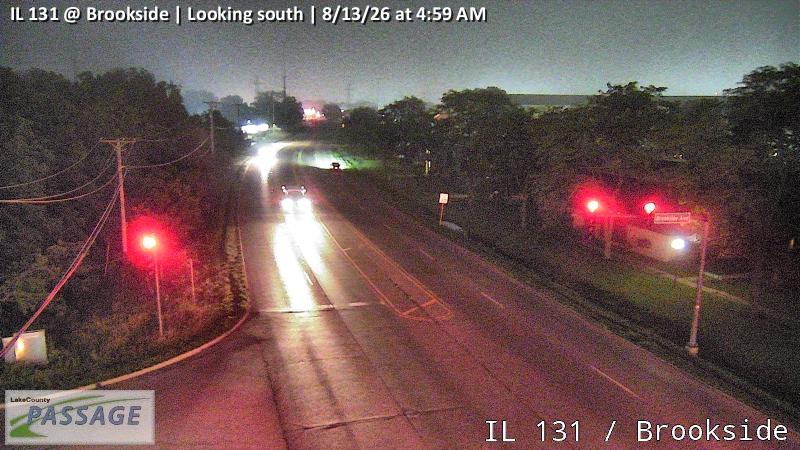 WorkingStill imageIL 131 at Brookside, looking south
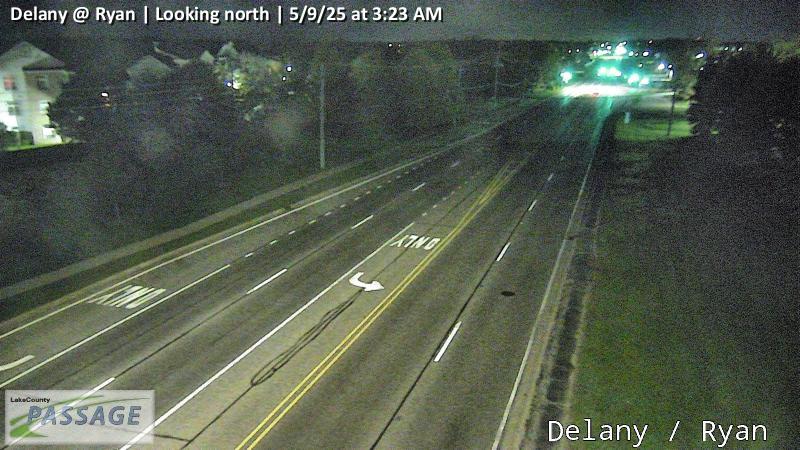 WorkingStill imageDelany at Ryan, looking north
 WorkingStill imageDelany at Ryan, looking south
 WorkingStill imageIL 21 at Washington, looking east
 WorkingStill imageIL 21 at Washington, looking north
 WorkingStill imageIL 21 at Washington, looking south
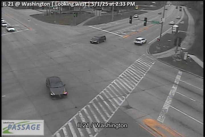 WorkingStill imageIL 21 at Washington, looking west
 WorkingStill imageDelany at Sunset, looking east
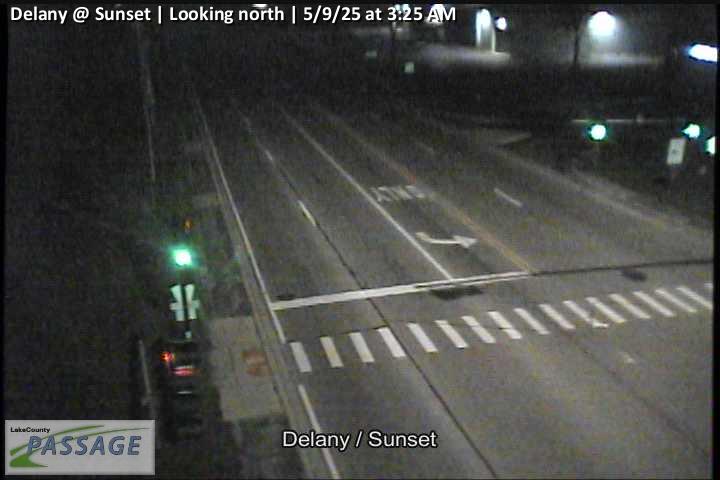 WorkingStill imageDelany at Sunset, looking north
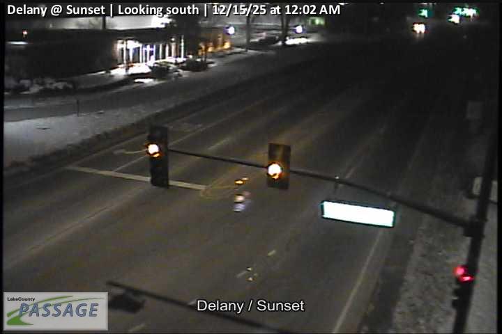 WorkingStill imageDelany at Sunset, looking south
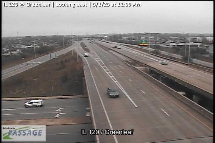 WorkingStill imageIL 120 at Greenleaf, looking east
 WorkingStill imageIL 120 at Greenleaf, looking north
 WorkingStill imageIL 120 at Greenleaf, looking south
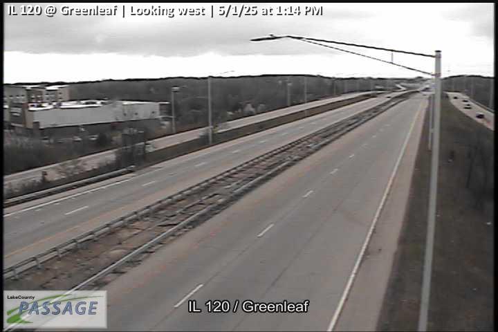 WorkingStill imageIL 120 at Greenleaf, looking west
 WorkingStill imageSunset at Northwestern, looking east
 WorkingStill imageSunset at Northwestern, looking south
 WorkingStill imageSunset at Northwestern, looking west
 WorkingStill imageIL 131 at Washington, looking east
 WorkingStill imageIL 131 at Washington, looking north
 WorkingStill imageIL 131 at Washington, looking south
 WorkingStill imageIL 131 at Washington, looking west
 WorkingStill imageIL 132 at Lawson, Six Flags, looking east
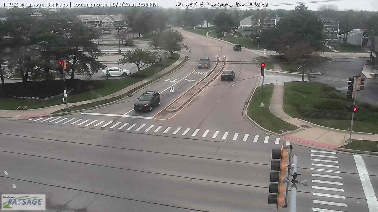 WorkingStill imageIL 132 at Lawson, Six Flags, looking north
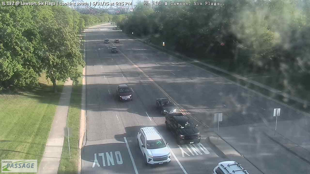 WorkingStill imageIL 132 at Lawson, Six Flags, looking south
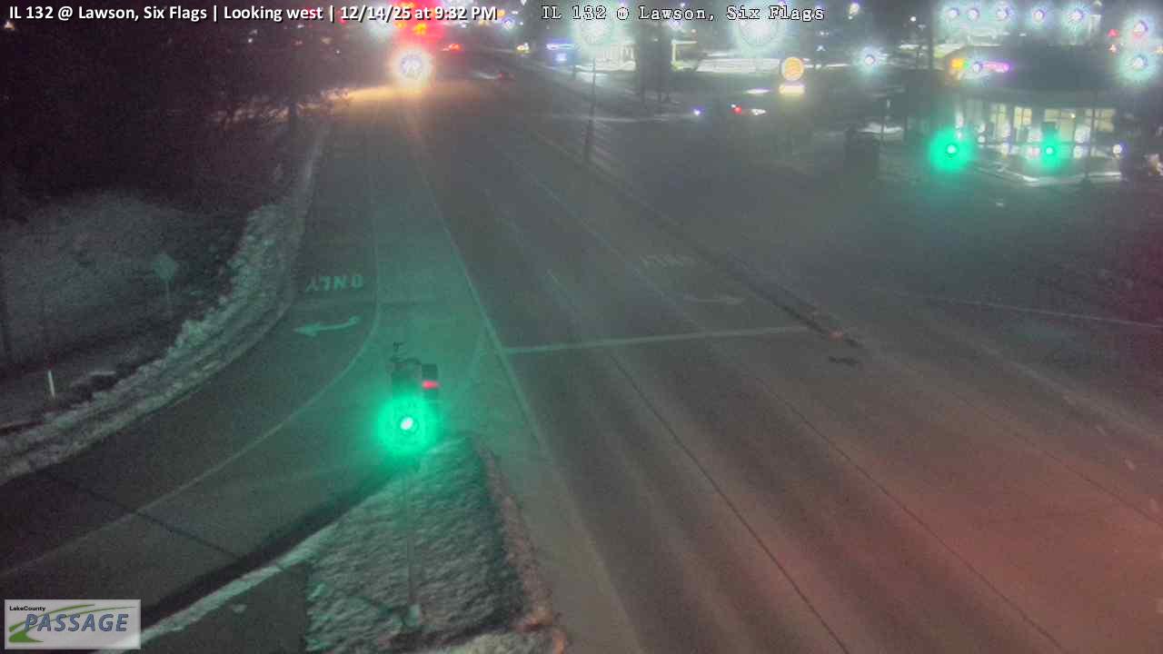 WorkingStill imageIL 132 at Lawson, Six Flags, looking west
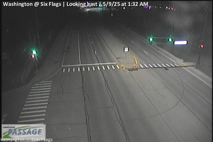 WorkingStill imageWashington at Six Flags, looking east
 WorkingStill imageWashington at Six Flags, looking west
 WorkingStill imageUS 41 at IL 21, looking north
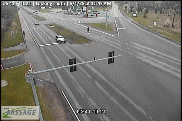 WorkingStill imageUS 41 at IL 21, looking south
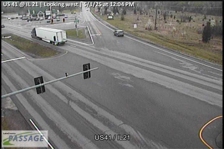 WorkingStill imageUS 41 at IL 21, looking west
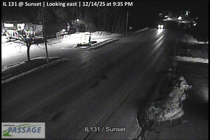 WorkingStill imageIL 131 at Sunset, looking east
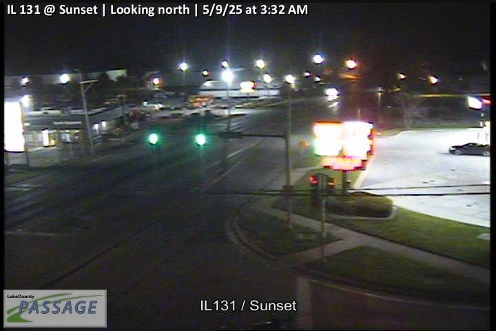 WorkingStill imageIL 131 at Sunset, looking north
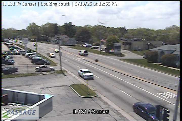 WorkingStill imageIL 131 at Sunset, looking south
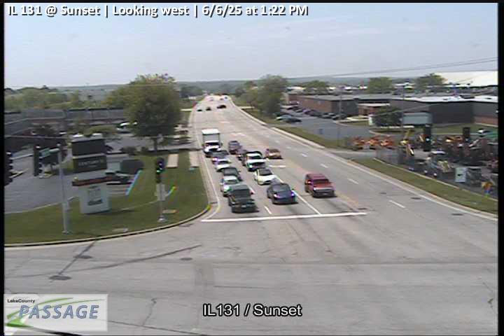 WorkingStill imageIL 131 at Sunset, looking west
 WorkingStill imageIL 43 at Northpoint, looking north
 WorkingStill imageIL 43 at Northpoint, looking south
 WorkingStill imageIL 43 at Northpoint, looking west
 WorkingStill imageIL 120 at OPlaine, looking east
 WorkingStill imageIL 120 at OPlaine, looking north
 WorkingStill imageIL 120 at OPlaine, looking south
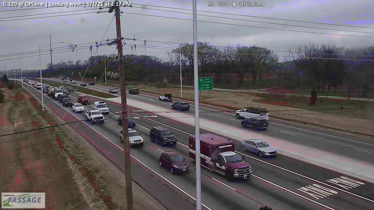 WorkingStill imageIL 120 at OPlaine, looking west
 WorkingStill imageDelany at Continental, looking north
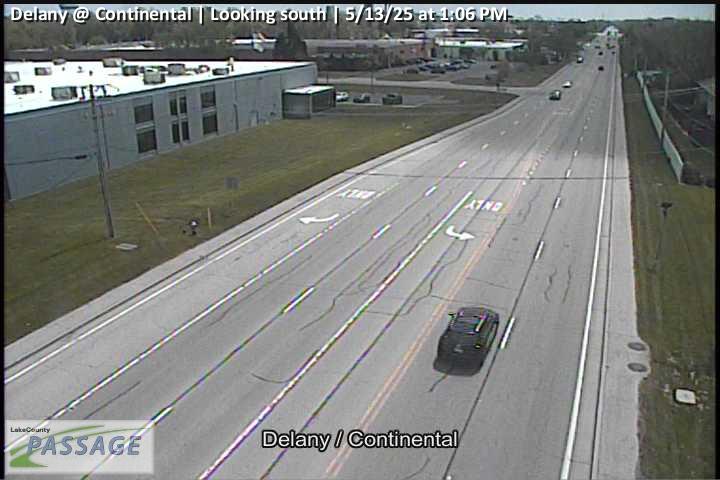 WorkingStill imageDelany at Continental, looking south
 WorkingStill imageGrand at McAree, looking east
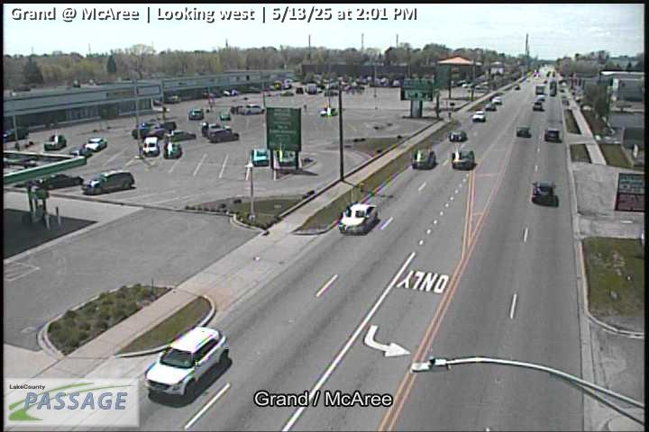 WorkingStill imageGrand at McAree, looking west
 WorkingStill imageWashington at Washington Terrace, looking east
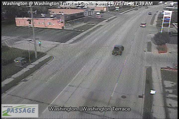 WorkingStill imageWashington at Washington Terrace, looking west
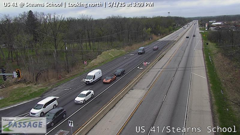 WorkingStill imageUS 41 at Stearns School, looking north
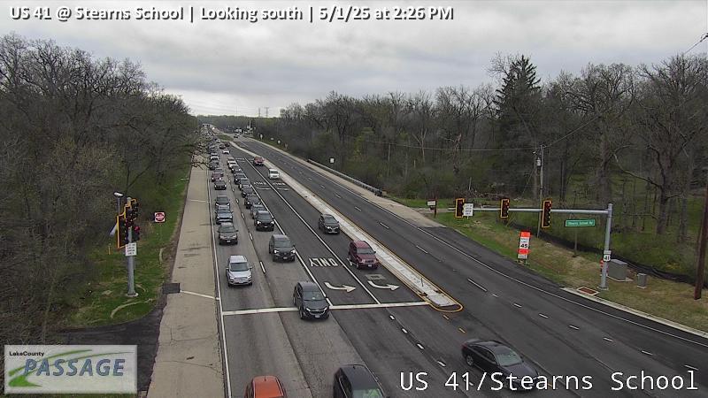 WorkingStill imageUS 41 at Stearns School, looking south
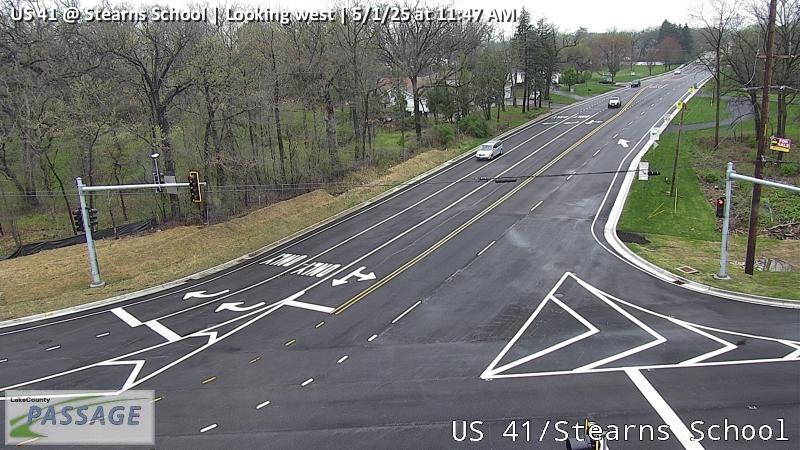 WorkingStill imageUS 41 at Stearns School, looking west
_cctv_East_Leg.jpg) WorkingStill imageI-94 at IL 120 (Wireless), looking east
WorkingStill imageI-94 at IL 120 (Wireless), looking east_cctv_North_Leg.jpg) WorkingStill imageI-94 at IL 120 (Wireless), looking north
WorkingStill imageI-94 at IL 120 (Wireless), looking north_cctv_South_Leg.jpg) WorkingStill imageI-94 at IL 120 (Wireless), looking south
WorkingStill imageI-94 at IL 120 (Wireless), looking south_cctv_West_Leg.jpg) WorkingStill imageI-94 at IL 120 (Wireless), looking west
WorkingStill imageI-94 at IL 120 (Wireless), looking west WorkingStill imageIL 120 at IL 131, looking east
 WorkingStill imageIL 120 at IL 131, looking north
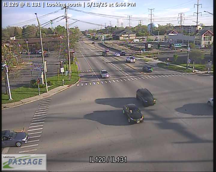 WorkingStill imageIL 120 at IL 131, looking south
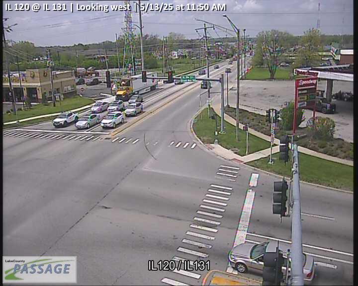 WorkingStill imageIL 120 at IL 131, looking west
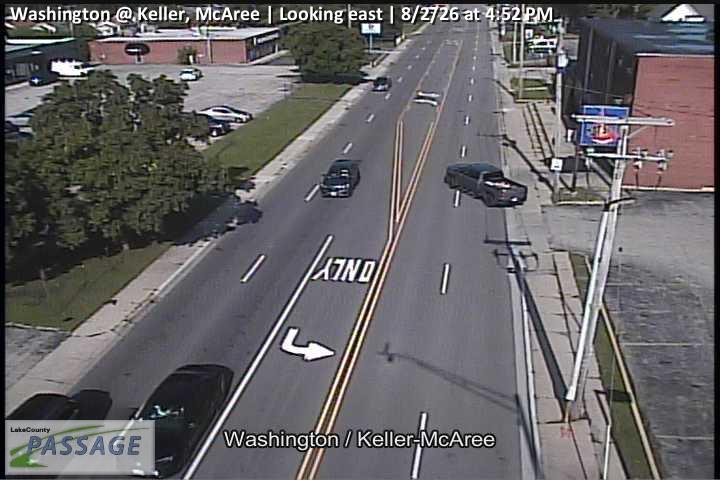 WorkingStill imageWashington at Keller, McAree, looking east
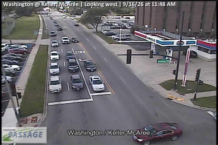 WorkingStill imageWashington at Keller, McAree, looking west
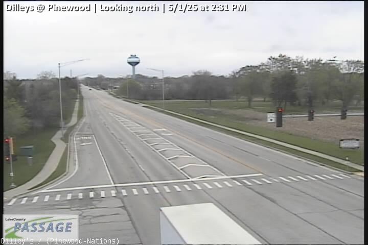 WorkingStill imageDilleys at Pinewood, looking north
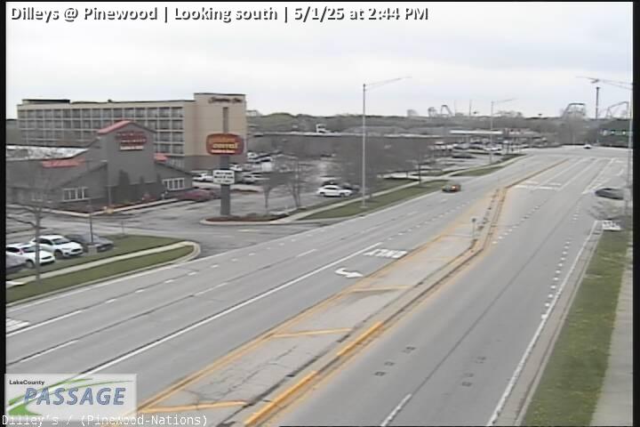 WorkingStill imageDilleys at Pinewood, looking south
 WorkingStill imageIL 43 at Pulaski, McGaw, looking east
 WorkingStill imageIL 43 at Pulaski, McGaw, looking north
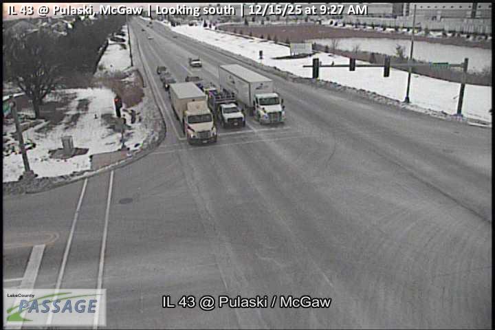 WorkingStill imageIL 43 at Pulaski, McGaw, looking south
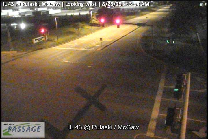 WorkingStill imageIL 43 at Pulaski, McGaw, looking west
 WorkingStill imageIL 21 at Gages Lake, looking north
 WorkingStill imageIL 21 at Gages Lake, looking south
 WorkingStill imageIL 21 at Gages Lake, looking west
 WorkingStill imageWashington at Tri State, looking east
 WorkingStill imageWashington at Tri State, looking north
 WorkingStill imageWashington at Tri State, looking west
 WorkingStill imageGrand at Lewis, looking east
 WorkingStill imageGrand at Lewis, looking north
 WorkingStill imageGrand at Lewis, looking south
 WorkingStill imageGrand at Lewis, looking west
 WorkingStill imageLewis at Ridgeland, looking south
 WorkingStill imageLewis at Brookside, looking east
 WorkingStill imageLewis at Brookside, looking north
 WorkingStill imageLewis at Brookside, looking south
 WorkingStill imageLewis at Brookside, looking west
 WorkingStill imageOPlaine at I-94, looking east
 WorkingStill imageOPlaine at I-94, looking north
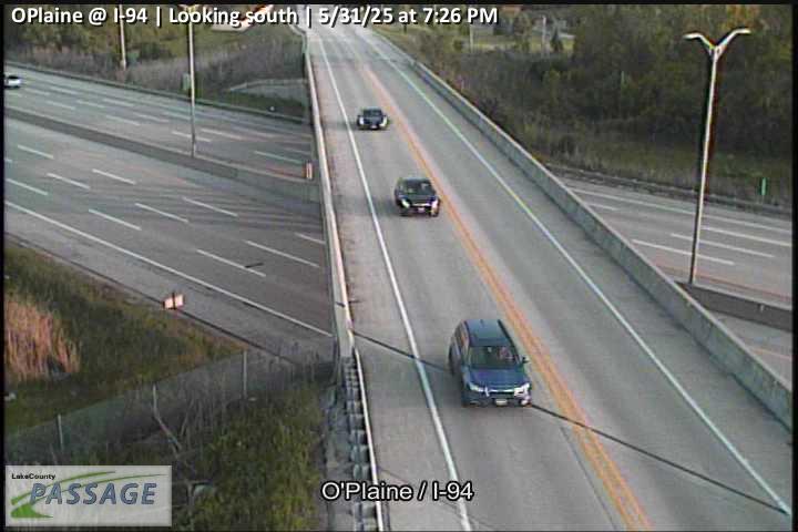 WorkingStill imageOPlaine at I-94, looking south
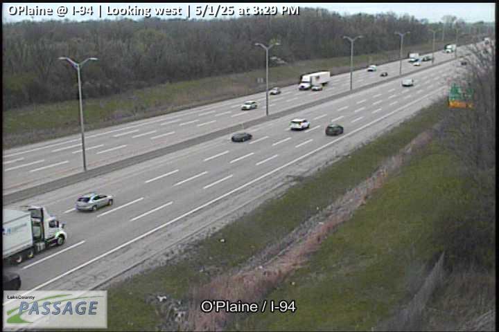 WorkingStill imageOPlaine at I-94, looking west
 WorkingStill imageSunset at Mcaree, looking east
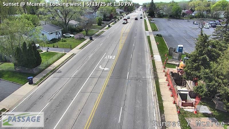 WorkingStill imageSunset at Mcaree, looking west
 WorkingStill imageLewis at Glen Flora, looking east
 WorkingStill imageLewis at Glen Flora, looking north
 WorkingStill imageLewis at Glen Flora, looking south
 WorkingStill imageLewis at Glen Flora, looking west
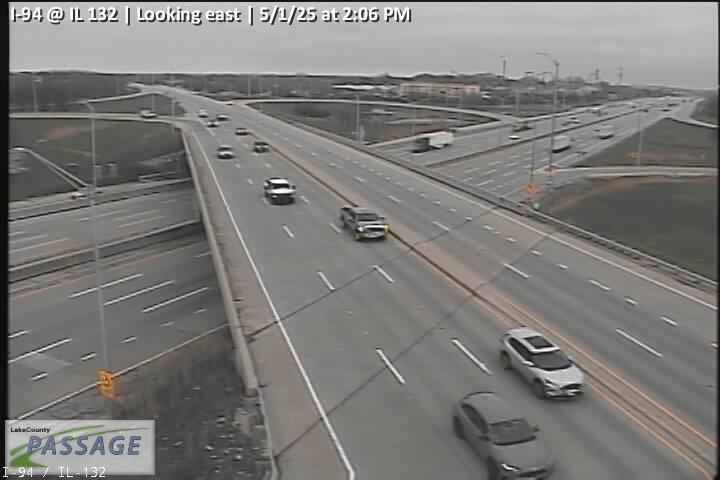 WorkingStill imageI-94 at IL 132, looking east
 WorkingStill imageI-94 at IL 132, looking north
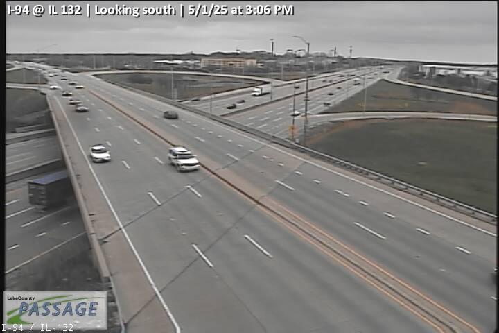 WorkingStill imageI-94 at IL 132, looking south
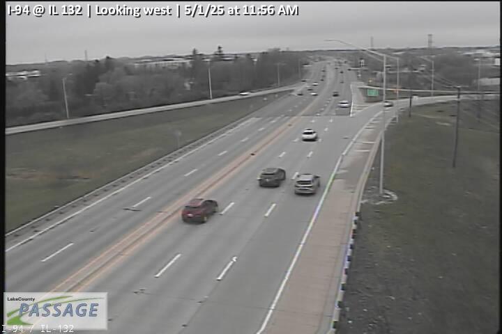 WorkingStill imageI-94 at IL 132, looking west
 WorkingStill imageLewis at Williamsburg, looking north
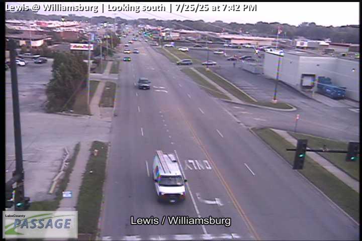 WorkingStill imageLewis at Williamsburg, looking south
 WorkingStill imageDelany at Gent Dr, Oak Grove, looking north
 WorkingStill imageDelany at Gent Dr, Oak Grove, looking south
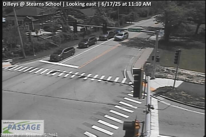 WorkingStill imageDilleys at Stearns School, looking east
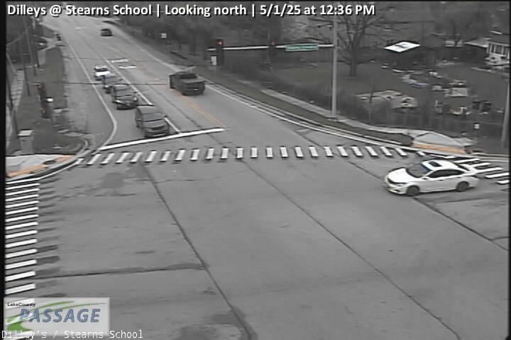 WorkingStill imageDilleys at Stearns School, looking north
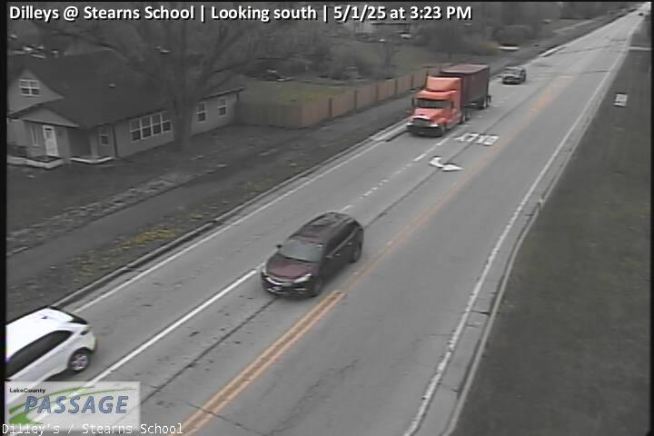 WorkingStill imageDilleys at Stearns School, looking south
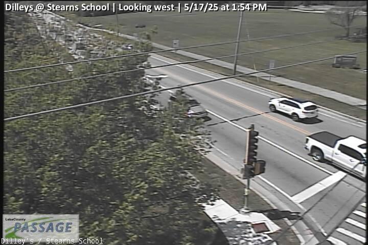 WorkingStill imageDilleys at Stearns School, looking west
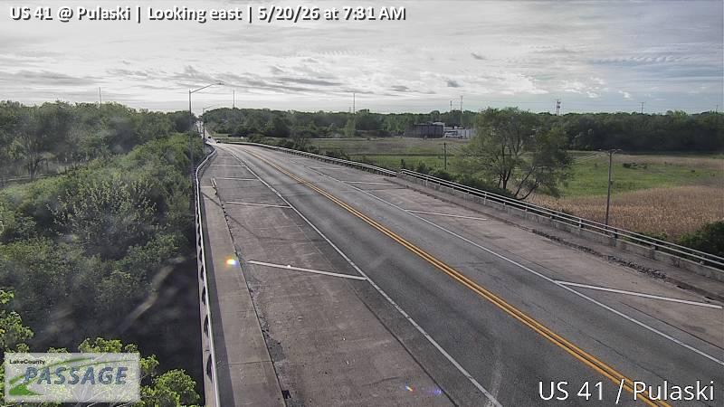 WorkingStill imageUS 41 at Pulaski, looking east
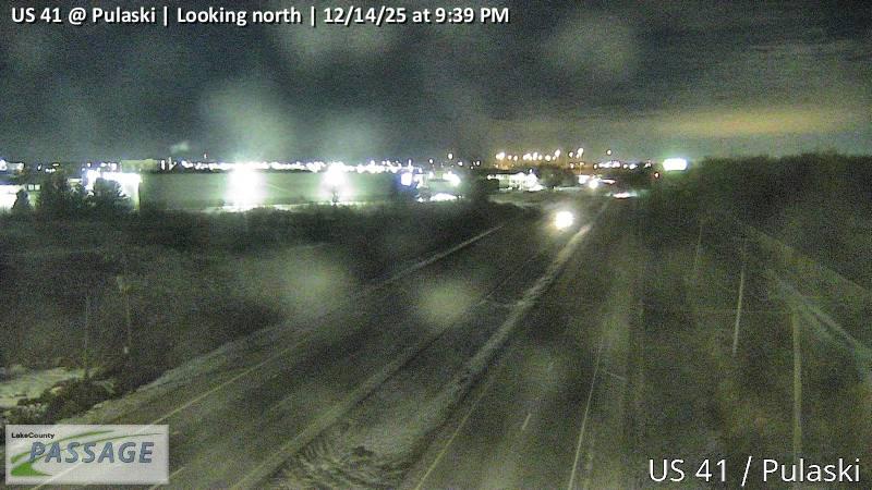 WorkingStill imageUS 41 at Pulaski, looking north
 WorkingStill imageUS 41 at Pulaski, looking south
 WorkingStill imageUS 41 at Pulaski, looking west
 WorkingStill imageWashington at Cemetery, looking east
 WorkingStill imageWashington at Cemetery, looking west
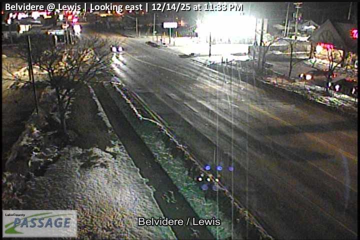 WorkingStill imageBelvidere at Lewis, looking east
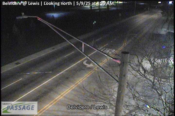 WorkingStill imageBelvidere at Lewis, looking north
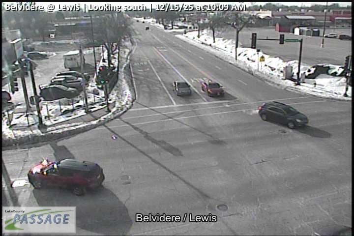 WorkingStill imageBelvidere at Lewis, looking south
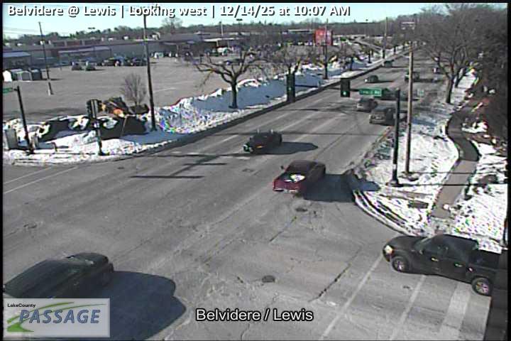 WorkingStill imageBelvidere at Lewis, looking west
 WorkingStill imageGrand at Butrick, looking east
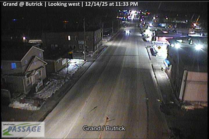 WorkingStill imageGrand at Butrick, looking west
 WorkingStill imageButrick at Glen Flora, looking east
 WorkingStill imageButrick at Glen Flora, looking west
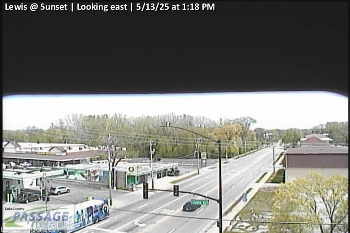 WorkingStill imageLewis at Sunset, looking east
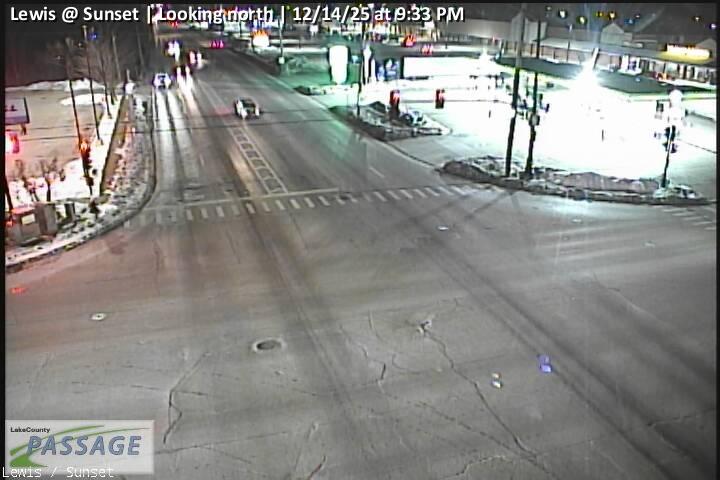 WorkingStill imageLewis at Sunset, looking north
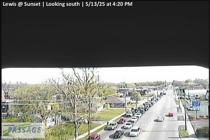 WorkingStill imageLewis at Sunset, looking south
_cctv_East_Leg.jpg) WorkingStill imageIL 21 at IL 120 (north ramp), looking east
WorkingStill imageIL 21 at IL 120 (north ramp), looking east_cctv_North_Leg.jpg) WorkingStill imageIL 21 at IL 120 (north ramp), looking north
WorkingStill imageIL 21 at IL 120 (north ramp), looking north_cctv_South_Leg.jpg) WorkingStill imageIL 21 at IL 120 (north ramp), looking south
WorkingStill imageIL 21 at IL 120 (north ramp), looking south_cctv_West_Leg.jpg) WorkingStill imageIL 21 at IL 120 (north ramp), looking west
WorkingStill imageIL 21 at IL 120 (north ramp), looking west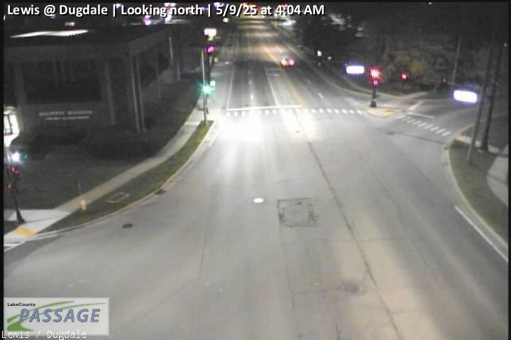 WorkingStill imageLewis at Dugdale, looking north
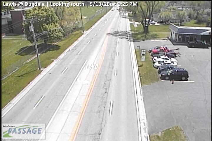 WorkingStill imageLewis at Dugdale, looking south
-Pulaski_cctv_East_Leg.jpg) WorkingStill imageIL 131 at Audrey Nixon (14th)-Pulaski, looking east
WorkingStill imageIL 131 at Audrey Nixon (14th)-Pulaski, looking east-Pulaski_cctv_North_Leg.jpg) WorkingStill imageIL 131 at Audrey Nixon (14th)-Pulaski, looking north
WorkingStill imageIL 131 at Audrey Nixon (14th)-Pulaski, looking north-Pulaski_cctv_South_Leg.jpg) WorkingStill imageIL 131 at Audrey Nixon (14th)-Pulaski, looking south
WorkingStill imageIL 131 at Audrey Nixon (14th)-Pulaski, looking south-Pulaski_cctv_West_Leg.jpg) WorkingStill imageIL 131 at Audrey Nixon (14th)-Pulaski, looking west
WorkingStill imageIL 131 at Audrey Nixon (14th)-Pulaski, looking west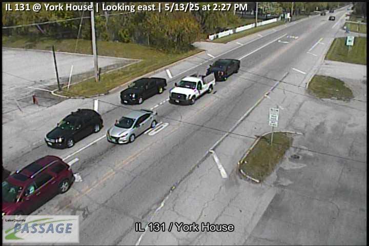 WorkingStill imageIL 131 at York House, looking east
 WorkingStill imageIL 131 at York House, looking north
 WorkingStill imageIL 131 at York House, looking south
 WorkingStill imageIL 131 at York House, looking west
 WorkingStill imageDelany at York House, looking east
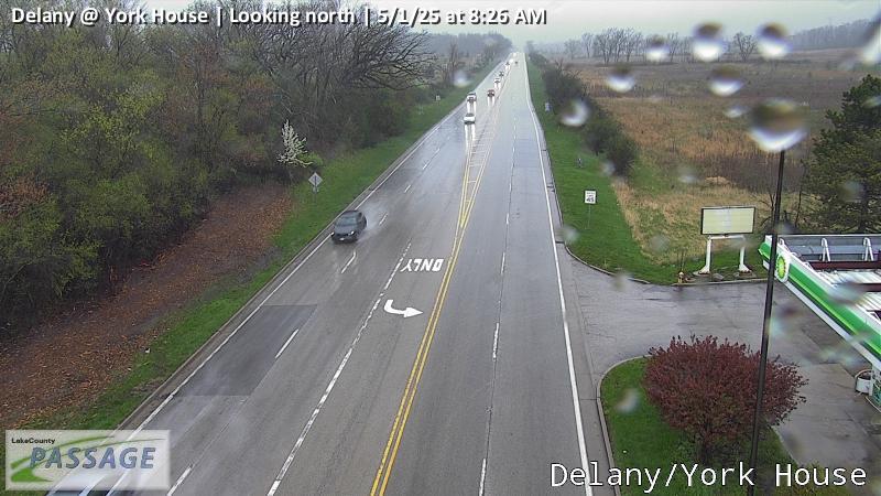 WorkingStill imageDelany at York House, looking north
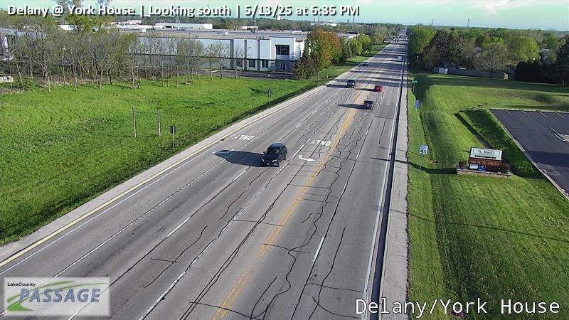 WorkingStill imageDelany at York House, looking south
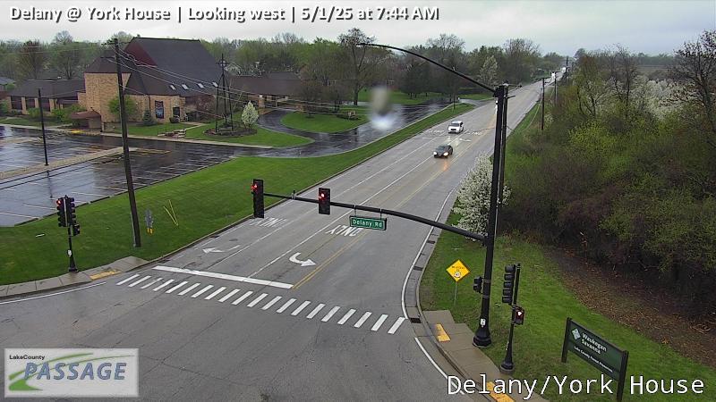 WorkingStill imageDelany at York House, looking west
 WorkingStill imageGrand at Jackson, looking east
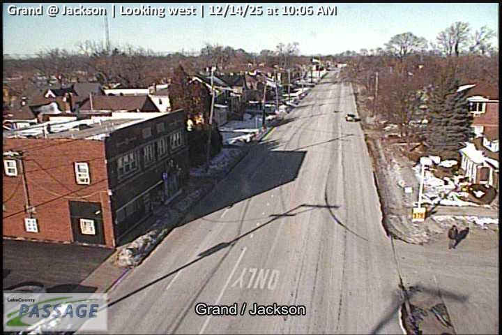 WorkingStill imageGrand at Jackson, looking west
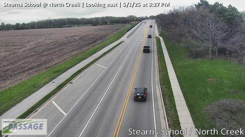 WorkingStill imageStearns School at North Creek, looking east
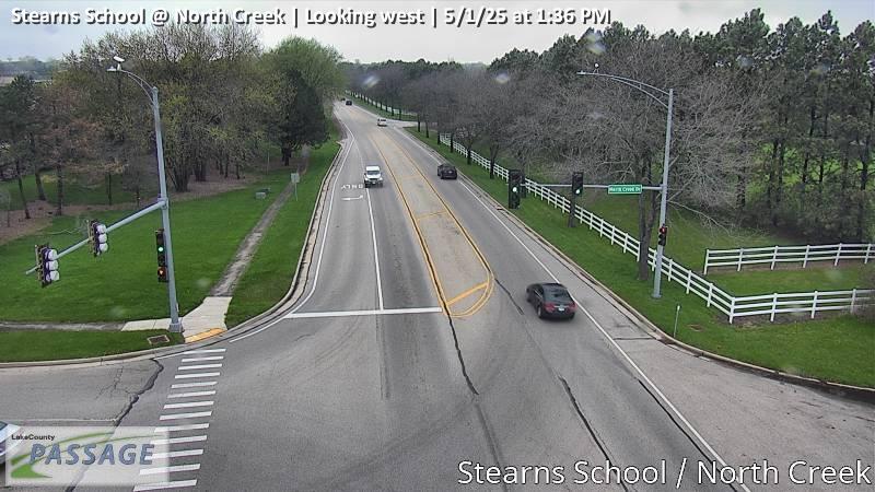 WorkingStill imageStearns School at North Creek, looking west
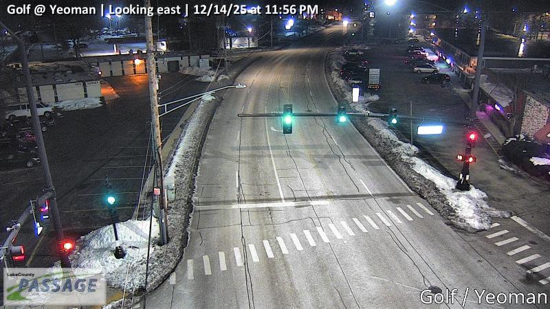 WorkingStill imageGolf at Yeoman, looking east
 WorkingStill imageGolf at Yeoman, looking north
 WorkingStill imageGolf at Yeoman, looking south
 WorkingStill imageGolf at Yeoman, looking west
 WorkingStill imageLewis at 10th, looking north
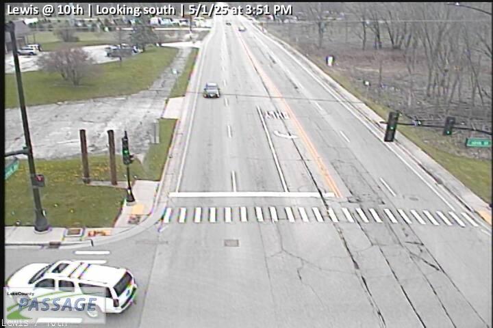 WorkingStill imageLewis at 10th, looking south
No live video among these cameras. Turn off "Live video only" to see them all.
Best cams to watch
- US 41 east ramp at Washington, looking south — Still image · every 10 min, working 100 % of the time in the last 30 days.
- Lewis at Ridgeland, looking north — Still image · every 10 min, working 100 % of the time in the last 30 days.
- Lewis at Sunset, looking west — Still image · every 10 min, working 100 % of the time in the last 30 days.
For many visitors around the Midwest, Gurnee means a day out. The village is home to Six Flags Great America, which opened in 1976 as Marriott’s Great America, and to Gurnee Mills, a huge outlet mall that opened in 1991. Behind the attractions is a village of about 30,700 people (2020 census) on the banks of the Des Plaines River in Warren Township, Lake County. The settlement was first called Wentworth; it took its present name from Walter S. Gurnee, a former Chicago mayor and railroad director who agreed to build a station here.
Gurnee sits between Waukegan and the lakes of western Lake County, and Interstate 94, the Tri-State Tollway, runs straight through it. Grand Avenue (IL-132) is the main east–west street, linking the interstate, the theme park and the mall with Waukegan to the east.
On the cameras
LiveLocation lists more than 100 cameras for Gurnee, every one published by Illinois DOT through its Gateway traveler information service. They follow the interstate, its ramps and the busy arterial roads around the shopping and entertainment district. Each image is refreshed at intervals, so you may see a still frame that updates rather than live video.
- Summer weekends: heavy traffic toward the theme park, often building by mid-morning.
- Holiday shopping season: long queues near the mall on Grand Avenue.
- Winter storms: the tollway views show plowing and slow traffic first.
Gurnee is on Central Time. Daylight lasts until about half past eight in late June, and the views go dark by roughly half past four in December. The theme park is seasonal, open roughly April through early November, with Fright Fest in the fall, so traffic patterns change noticeably once it closes for the winter.
Waukegan and its Lake Michigan harbor are only a few miles east, and Grayslake, home of the Lake County Fair, lies to the southwest. Their cameras fall inside this page’s radius too, so you can trace a drive from the lakefront to the interstate in a few clicks.
Sources: Gurnee, Illinois - Wikipedia · Six Flags Great America - Wikipedia.
Nearby places
- Waukegan (620)
- Wheaton (617)
- North Peoria (554)
- Peoria (553)
- Naperville (475)
- Palatine (354)
- Grayslake (346)
- Round Lake Beach (344)
Questions about Gurnee
How many cameras does LiveLocation have in Gurnee?
LiveLocation lists 200 cameras in and around Gurnee, United States: 0 live video, 200 still images. 200 of them were live or showing a fresh image at the last check.
Who runs the cameras in Gurnee?
All of them come from Illinois DOT (200). Each camera plays straight from the agency or owner that runs it, with credit. Illinois DOT
What can I see on the Gurnee cameras?
All of them show traffic and highway (200). Good ones to start with: US 41 east ramp at Washington, looking south and Lewis at Ridgeland, looking north. US 41 east ramp at Washington, looking south Lewis at Ridgeland, looking north
Can I watch live video from Gurnee?
Not yet: the cameras here send still images that refresh about every 10 minutes. The map can show only live-video cameras nearby. Live video on the map
What time is it in Gurnee, and when is it light?
Gurnee is on America/Chicago time. On October 7 the sun rises at 6:55 AM and sets at 6:23 PM, so still images are clearest between those times. Road cameras show the most traffic in the weekday morning and evening rush hours.
Which places near Gurnee also have cameras?
The nearest are Waukegan (3.0 mi away, 620 cameras), North Chicago (4.4 mi away, 252 cameras) and Zion (6.3 mi away, 137 cameras). Waukegan North Chicago Zion
How can I see the Gurnee cameras on a map?
The map at the top of this page shows all 200 of them. The live camera radar centers on Gurnee and lists every camera within 5 to 250 miles, nearest first, with filters for live video, traffic, nature and more. Open the radar on Gurnee
Place names and locations: GeoNames, licensed under CC BY 4.0.