Live cameras in Round Lake Beach, United States
200 cameras: 0 live video, 200 still images · 200 working now · updated Oct 8, 03:32 UTC
Round Lake Beach has 200 live cameras on LiveLocation right now: 0 live video, 200 still images. Good places to start: Rollins at Civic Center Way, looking east, Hainesville at Washington, looking east, IL 83 at Lake, looking north. Local time is 10:32 PM (America/Chicago). Today the sun rises at 6:56 AM and sets at 6:23 PM.
Round Lake Beach live cameras
Watch Round Lake Beach live webcams: 0 live video, 200 still images. 200 were working at the last check. Round Lake Beach is home to about 28,000 people.
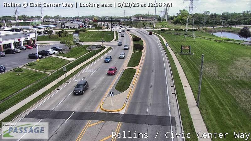 WorkingStill imageRollins at Civic Center Way, looking east
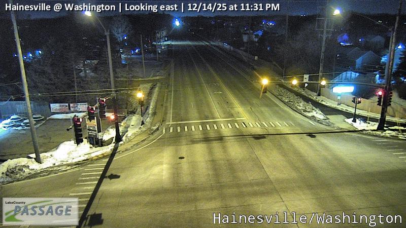 WorkingStill imageHainesville at Washington, looking east
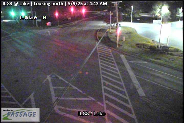 WorkingStill imageIL 83 at Lake, looking north
 WorkingStill imageSand Lake at Beck, looking north
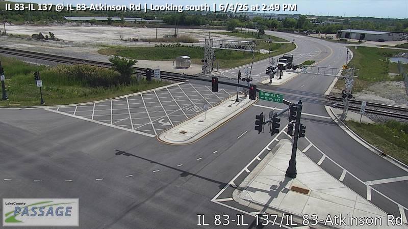 WorkingStill imageIL 83-IL 137 at IL 83-Atkinson Rd, looking south
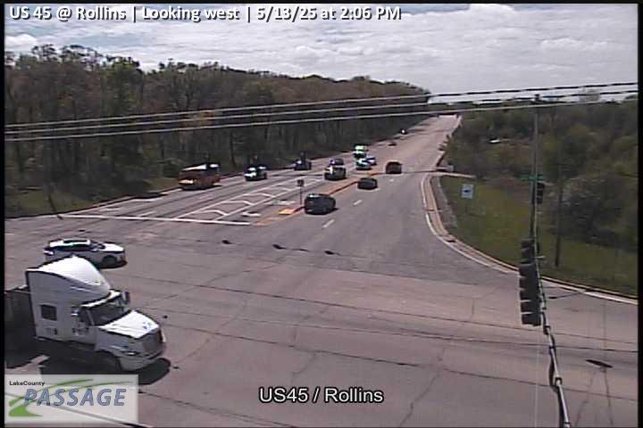 WorkingStill imageUS 45 at Rollins, looking west
 WorkingStill imageUS 45 at IL 132, looking south
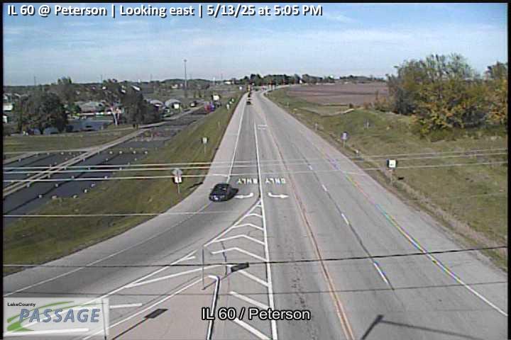 WorkingStill imageIL 60 at Peterson, looking east
_cctv_South_Leg.jpg) WorkingStill imageUS 45 at IL 120 (SW), looking south
WorkingStill imageUS 45 at IL 120 (SW), looking south_cctv_North_Leg.jpg) WorkingStill imageUS 12 at Sayton (Wireless), looking north
WorkingStill imageUS 12 at Sayton (Wireless), looking north_cctv_North_Leg.jpg) WorkingStill imageUS 12 at Grand (Wireless), looking north
WorkingStill imageUS 12 at Grand (Wireless), looking north_cctv_North_Leg.jpg) WorkingStill imageIL 59 at Beach Grove (Cell), looking north
WorkingStill imageIL 59 at Beach Grove (Cell), looking north WorkingStill imageCedar Lake at Clarendon, looking north
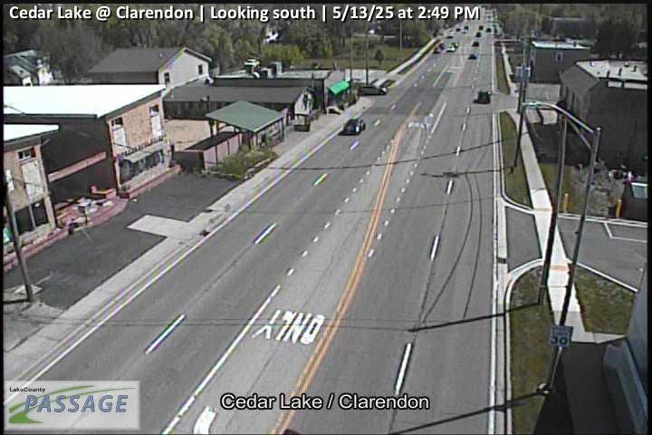 WorkingStill imageCedar Lake at Clarendon, looking south
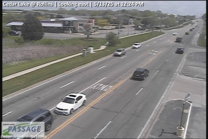 WorkingStill imageCedar Lake at Rollins, looking east
 WorkingStill imageCedar Lake at Rollins, looking north
 WorkingStill imageCedar Lake at Rollins, looking south
 WorkingStill imageCedar Lake at Rollins, looking west
 WorkingStill imageCedar Lake at Rosedale, looking north
 WorkingStill imageCedar Lake at Rosedale, looking south
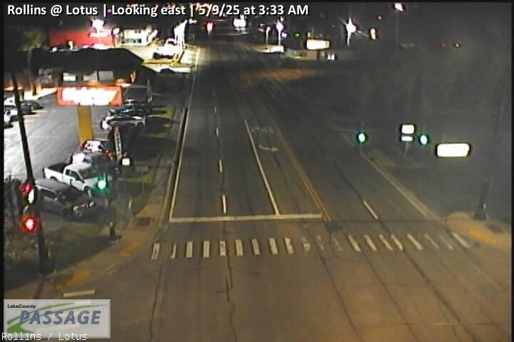 WorkingStill imageRollins at Lotus, looking east
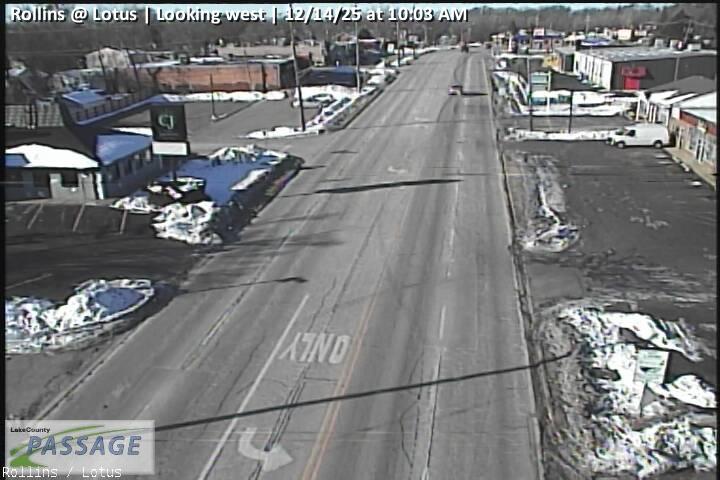 WorkingStill imageRollins at Lotus, looking west
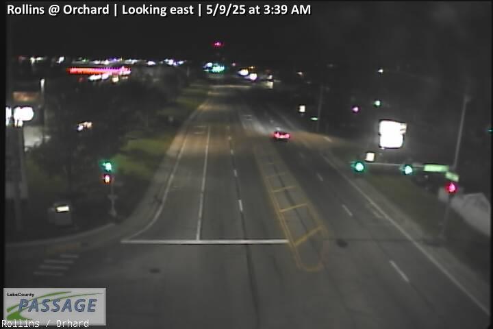 WorkingStill imageRollins at Orchard, looking east
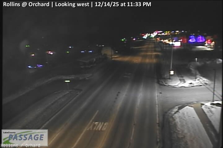 WorkingStill imageRollins at Orchard, looking west
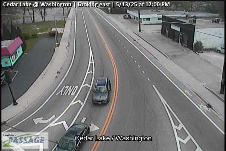 WorkingStill imageCedar Lake at Washington, looking east
 WorkingStill imageCedar Lake at Washington, looking north
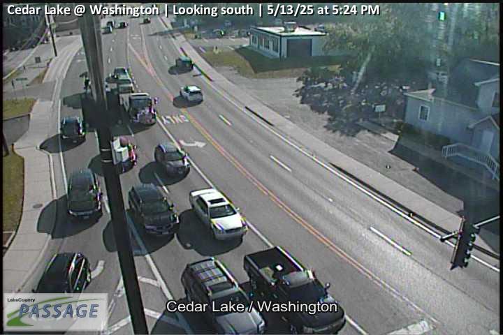 WorkingStill imageCedar Lake at Washington, looking south
 WorkingStill imageCedar Lake at Hart, looking north
 WorkingStill imageCedar Lake at Hart, looking south
 WorkingStill imageCedar Lake at Hart, looking west
 WorkingStill imageIL 134 at Hart Rd, looking east
 WorkingStill imageIL 134 at Hart Rd, looking north
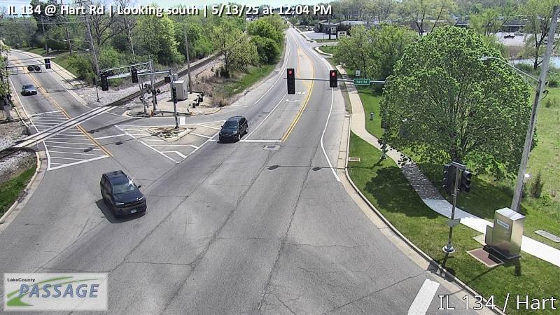 WorkingStill imageIL 134 at Hart Rd, looking south
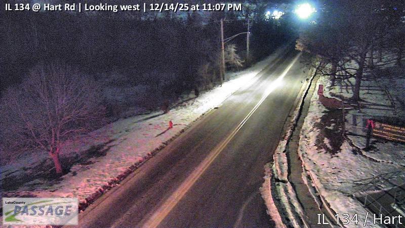 WorkingStill imageIL 134 at Hart Rd, looking west
 WorkingStill imageFairfield at Lake Shore, looking north
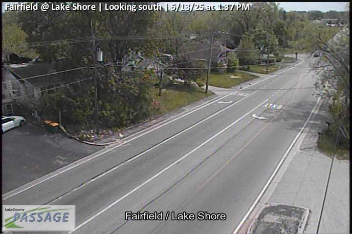 WorkingStill imageFairfield at Lake Shore, looking south
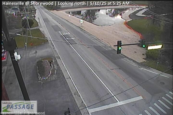 WorkingStill imageHainesville at Shorewood, looking north
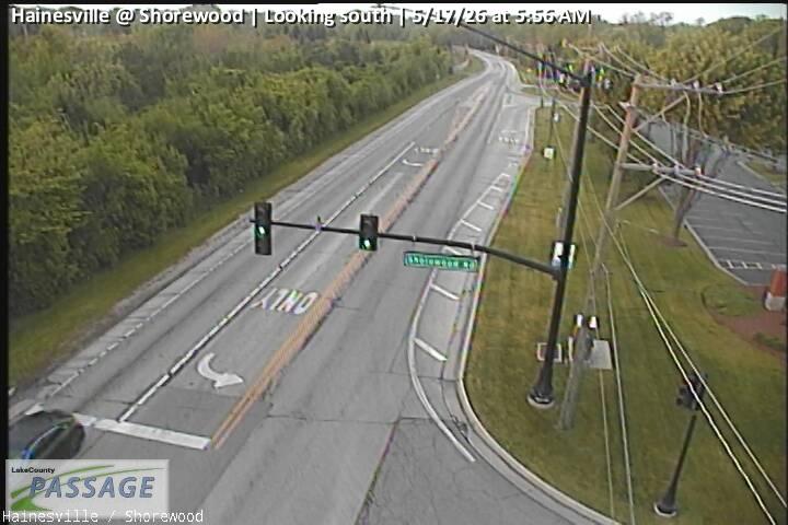 WorkingStill imageHainesville at Shorewood, looking south
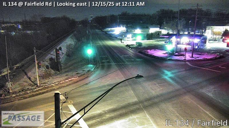 WorkingStill imageIL 134 at Fairfield Rd, looking east
 WorkingStill imageIL 134 at Fairfield Rd, looking north
 WorkingStill imageIL 134 at Fairfield Rd, looking south
 WorkingStill imageIL 134 at Fairfield Rd, looking west
 WorkingStill imageRollins at Civic Center Way, looking north
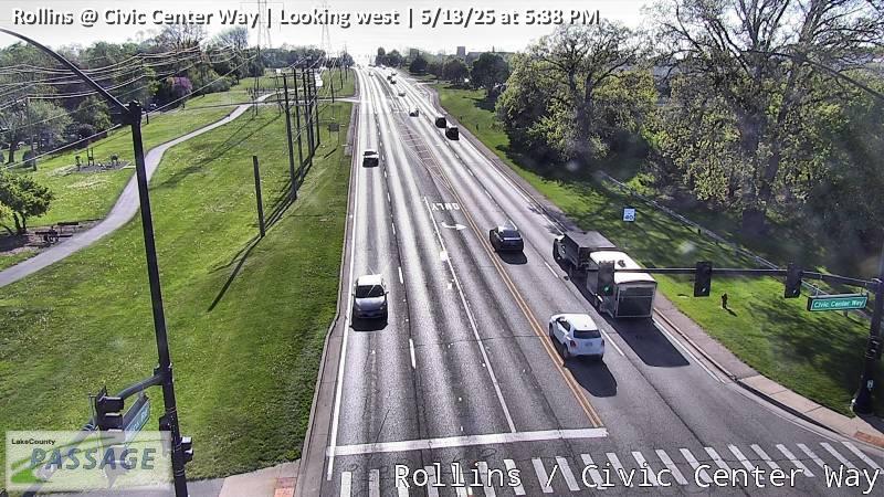 WorkingStill imageRollins at Civic Center Way, looking west
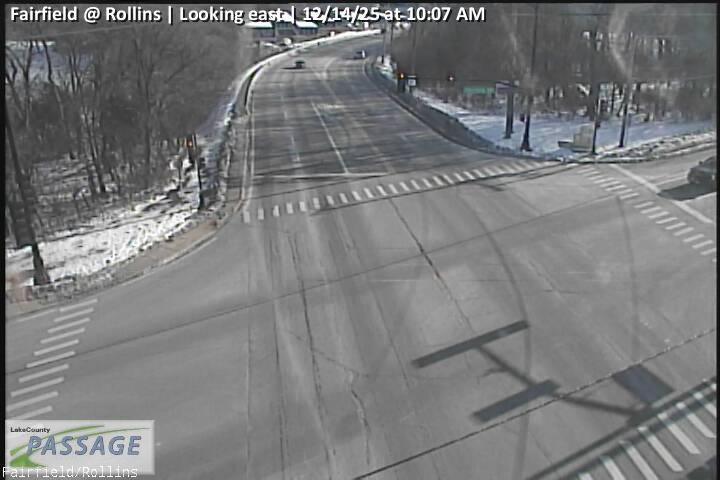 WorkingStill imageFairfield at Rollins, looking east
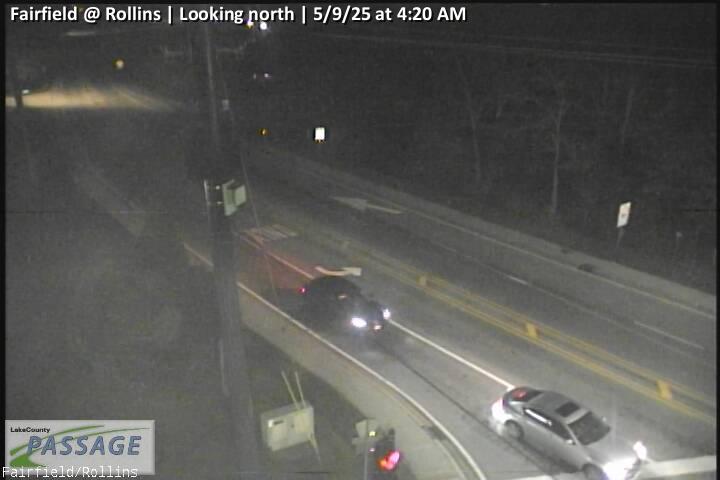 WorkingStill imageFairfield at Rollins, looking north
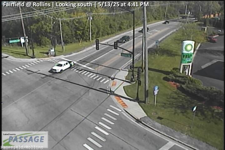 WorkingStill imageFairfield at Rollins, looking south
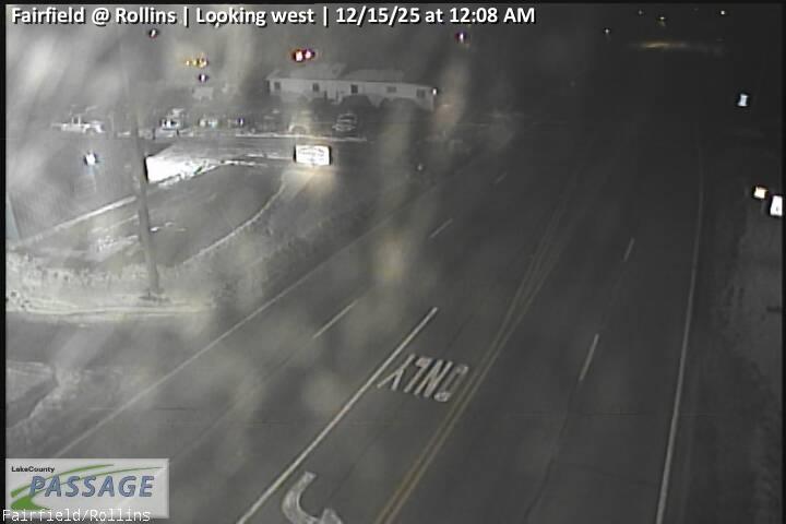 WorkingStill imageFairfield at Rollins, looking west
 WorkingStill imageHainesville at Rollins, looking east
 WorkingStill imageHainesville at Rollins, looking south
 WorkingStill imageHainesville at Rollins, looking west
 WorkingStill imageIL 83 at Rollins, looking east
 WorkingStill imageIL 83 at Rollins, looking north
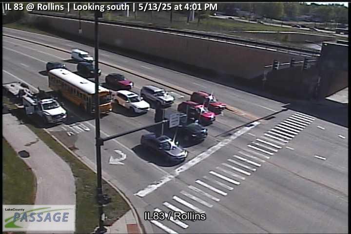 WorkingStill imageIL 83 at Rollins, looking south
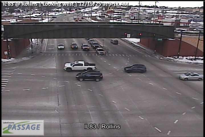 WorkingStill imageIL 83 at Rollins, looking west
 WorkingStill imageHainesville at Washington, looking north
 WorkingStill imageHainesville at Washington, looking south
 WorkingStill imageHainesville at Washington, looking west
 WorkingStill imageIL 83 at Hook, looking east
 WorkingStill imageIL 83 at Hook, looking north
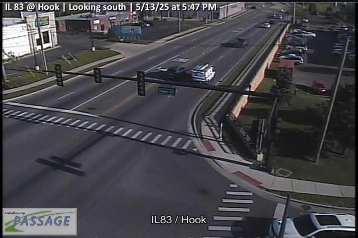 WorkingStill imageIL 83 at Hook, looking south
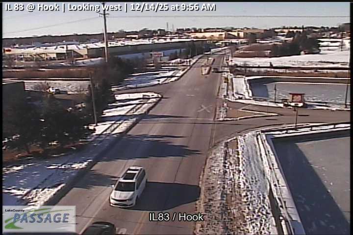 WorkingStill imageIL 83 at Hook, looking west
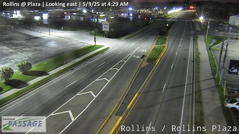 WorkingStill imageRollins at Plaza, looking east
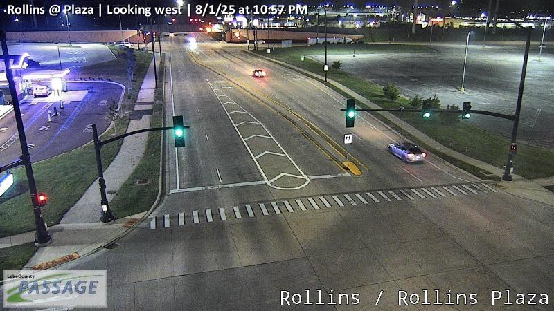 WorkingStill imageRollins at Plaza, looking west
 WorkingStill imageIL 83 at Brighton, looking east
 WorkingStill imageIL 83 at Brighton, looking north
 WorkingStill imageIL 83 at Brighton, looking south
 WorkingStill imageIL 83 at Millstone, looking east
 WorkingStill imageIL 83 at Millstone, looking north
 WorkingStill imageIL 83 at Millstone, looking south
 WorkingStill imageIL 83 at Millstone, looking west
_cctv_North_Leg.jpg) WorkingStill imageCedar Lake at Monaville (Cell), looking north
WorkingStill imageCedar Lake at Monaville (Cell), looking north_cctv_South_Leg.jpg) WorkingStill imageCedar Lake at Monaville (Cell), looking south
WorkingStill imageCedar Lake at Monaville (Cell), looking south WorkingStill imageFairfield at Nippersink, looking east
 WorkingStill imageFairfield at Nippersink, looking north
 WorkingStill imageFairfield at Nippersink, looking south
 WorkingStill imageFairfield at Nippersink, looking west
 WorkingStill imageRollins at Hook, looking east
 WorkingStill imageRollins at Hook, looking west
 WorkingStill imageIL 83 at Shorewood, looking east
 WorkingStill imageIL 83 at Shorewood, looking north
 WorkingStill imageIL 83 at Shorewood, looking south
 WorkingStill imageIL 83 at Shorewood, looking west
 WorkingStill imageIL 120 at IL 134, looking east
 WorkingStill imageIL 120 at IL 134, looking north
 WorkingStill imageIL 120 at IL 134, looking west
 WorkingStill imageIL 83 at Monaville, looking north
 WorkingStill imageIL 83 at Monaville, looking south
 WorkingStill imageIL 83 at Monaville, looking west
 WorkingStill imageIL 120 at Hainesville, looking east
 WorkingStill imageIL 120 at Hainesville, looking north
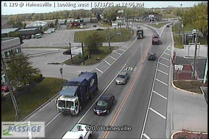 WorkingStill imageIL 120 at Hainesville, looking west
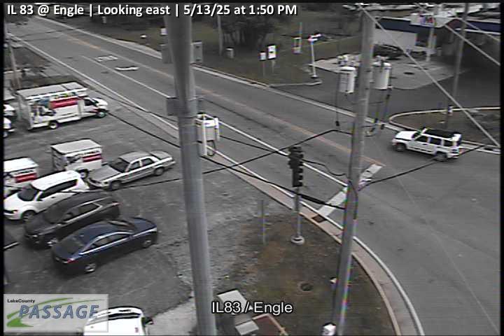 WorkingStill imageIL 83 at Engle, looking east
 WorkingStill imageIL 83 at Engle, looking north
 WorkingStill imageIL 83 at Engle, looking south
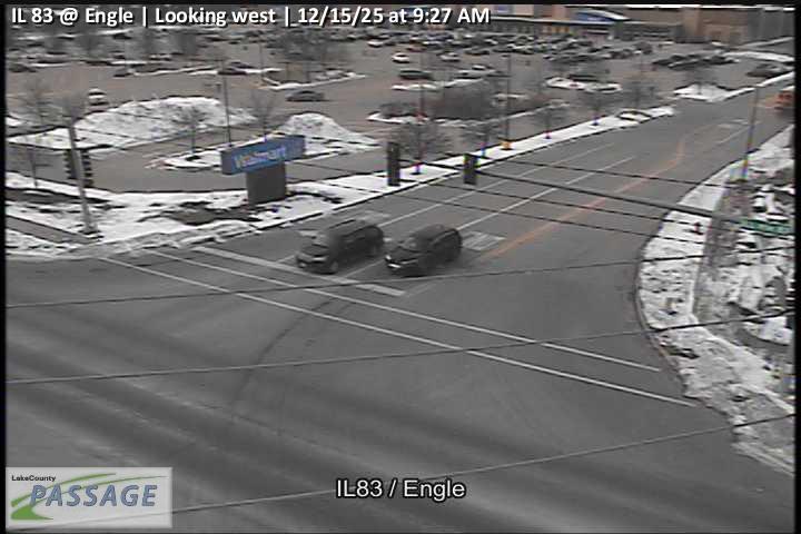 WorkingStill imageIL 83 at Engle, looking west
_cctv_East_Leg.jpg) WorkingStill imageFairfield at Monaville (Cell), looking east
WorkingStill imageFairfield at Monaville (Cell), looking east_cctv_North_Leg.jpg) WorkingStill imageFairfield at Monaville (Cell), looking north
WorkingStill imageFairfield at Monaville (Cell), looking north_cctv_South_Leg.jpg) WorkingStill imageFairfield at Monaville (Cell), looking south
WorkingStill imageFairfield at Monaville (Cell), looking south_cctv_West_Leg.jpg) WorkingStill imageFairfield at Monaville (Cell), looking west
WorkingStill imageFairfield at Monaville (Cell), looking west WorkingStill imageIL 83 at Lake, looking east
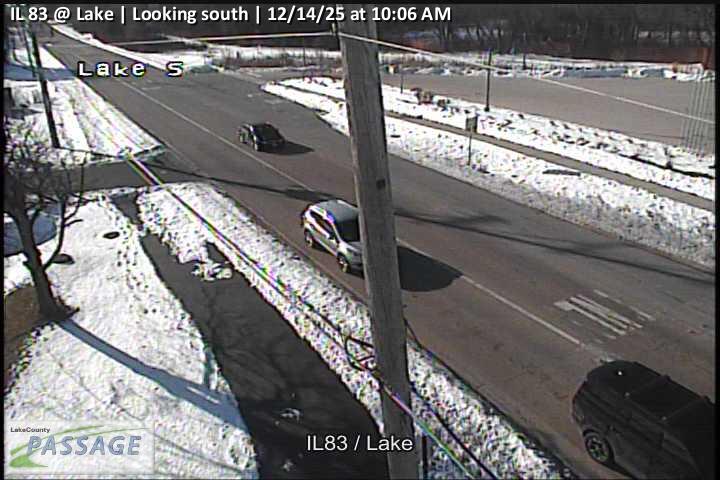 WorkingStill imageIL 83 at Lake, looking south
 WorkingStill imageIL 83 at Lake, looking west
_cctv_East_Leg.jpg) WorkingStill imageIL 134 at Wilson (Cell), looking east
WorkingStill imageIL 134 at Wilson (Cell), looking east_cctv_North_Leg.jpg) WorkingStill imageIL 134 at Wilson (Cell), looking north
WorkingStill imageIL 134 at Wilson (Cell), looking north_cctv_South_Leg.jpg) WorkingStill imageIL 134 at Wilson (Cell), looking south
WorkingStill imageIL 134 at Wilson (Cell), looking south_cctv_West_Leg.jpg) WorkingStill imageIL 134 at Wilson (Cell), looking west
WorkingStill imageIL 134 at Wilson (Cell), looking west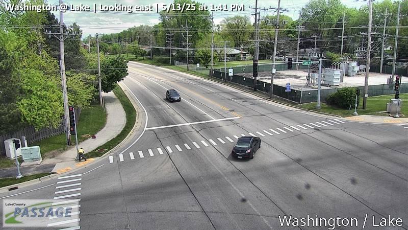 WorkingStill imageWashington at Lake, looking east
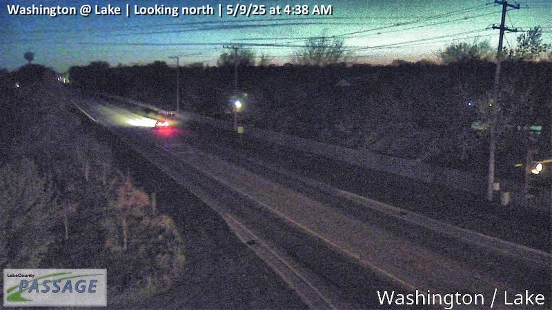 WorkingStill imageWashington at Lake, looking north
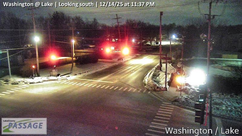 WorkingStill imageWashington at Lake, looking south
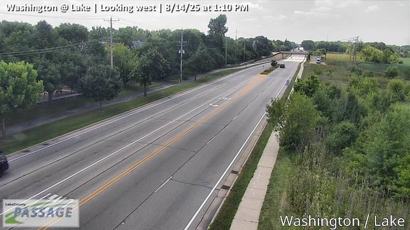 WorkingStill imageWashington at Lake, looking west
 WorkingStill imageRollins at Wilson, looking east
 WorkingStill imageRollins at Wilson, looking north
 WorkingStill imageRollins at Wilson, looking south
 WorkingStill imageRollins at Wilson, looking west
_cctv_East_Leg.jpg) WorkingStill imageIL 120 at Fairfield (Wireless), looking east
WorkingStill imageIL 120 at Fairfield (Wireless), looking east_cctv_North_Leg.jpg) WorkingStill imageIL 120 at Fairfield (Wireless), looking north
WorkingStill imageIL 120 at Fairfield (Wireless), looking north_cctv_South_Leg.jpg) WorkingStill imageIL 120 at Fairfield (Wireless), looking south
WorkingStill imageIL 120 at Fairfield (Wireless), looking south_cctv_West_Leg.jpg) WorkingStill imageIL 120 at Fairfield (Wireless), looking west
WorkingStill imageIL 120 at Fairfield (Wireless), looking west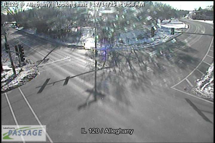 WorkingStill imageIL 120 at Alleghany, looking east
 WorkingStill imageIL 120 at Alleghany, looking south
_cctv_East_Leg.jpg) WorkingStill imageIL 59 at Monaville (Cell), looking east
WorkingStill imageIL 59 at Monaville (Cell), looking east_cctv_North_Leg.jpg) WorkingStill imageIL 59 at Monaville (Cell), looking north
WorkingStill imageIL 59 at Monaville (Cell), looking north_cctv_South_Leg.jpg) WorkingStill imageIL 59 at Monaville (Cell), looking south
WorkingStill imageIL 59 at Monaville (Cell), looking south_cctv_West_Leg.jpg) WorkingStill imageIL 59 at Monaville (Cell), looking west
WorkingStill imageIL 59 at Monaville (Cell), looking west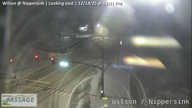 WorkingStill imageWilson at Nippersink, looking east
 WorkingStill imageWilson at Nippersink, looking north
 WorkingStill imageWilson at Nippersink, looking south
 WorkingStill imageWilson at Nippersink, looking west
_cctv_East_Leg.jpg) WorkingStill imageIL 59 at Wilson (Cell), looking east
WorkingStill imageIL 59 at Wilson (Cell), looking east_cctv_North_Leg.jpg) WorkingStill imageIL 59 at Wilson (Cell), looking north
WorkingStill imageIL 59 at Wilson (Cell), looking north_cctv_South_Leg.jpg) WorkingStill imageIL 59 at Wilson (Cell), looking south
WorkingStill imageIL 59 at Wilson (Cell), looking south_cctv_West_Leg.jpg) WorkingStill imageIL 59 at Wilson (Cell), looking west
WorkingStill imageIL 59 at Wilson (Cell), looking west WorkingStill imageIL 83 at Washington, looking east
 WorkingStill imageIL 83 at Washington, looking north
 WorkingStill imageIL 83 at Washington, looking south
 WorkingStill imageIL 83 at Washington, looking west
 WorkingStill imageIL 132 at IL 83, looking east
 WorkingStill imageIL 132 at IL 83, looking north
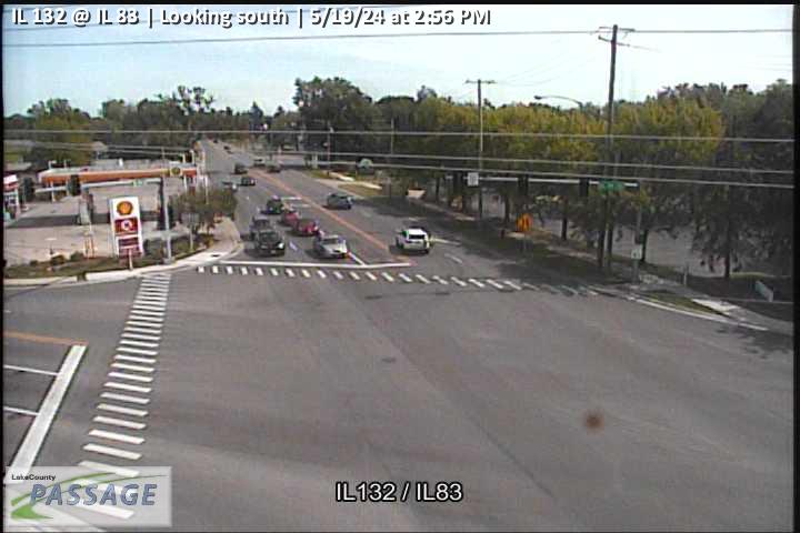 WorkingStill imageIL 132 at IL 83, looking south
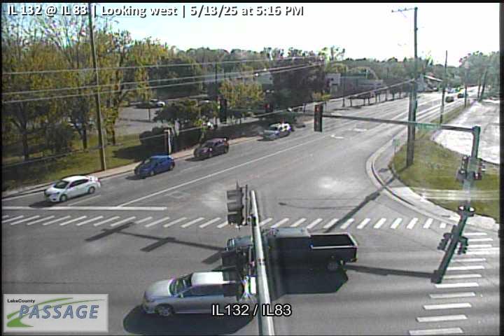 WorkingStill imageIL 132 at IL 83, looking west
 WorkingStill imageIL 83 at Frederick, looking east
 WorkingStill imageIL 83 at Frederick, looking north
 WorkingStill imageIL 83 at Frederick, looking south
_cctv_East_Leg.jpg) WorkingStill imageIL 120 at Wilson (Wireless), looking east
WorkingStill imageIL 120 at Wilson (Wireless), looking east_cctv_North_Leg.jpg) WorkingStill imageIL 120 at Wilson (Wireless), looking north
WorkingStill imageIL 120 at Wilson (Wireless), looking north_cctv_South_Leg.jpg) WorkingStill imageIL 120 at Wilson (Wireless), looking south
WorkingStill imageIL 120 at Wilson (Wireless), looking south_cctv_West_Leg.jpg) WorkingStill imageIL 120 at Wilson (Wireless), looking west
WorkingStill imageIL 120 at Wilson (Wireless), looking west WorkingStill imageIL 120 at Lake, looking east
 WorkingStill imageIL 120 at Lake, looking north
 WorkingStill imageIL 120 at Lake, looking south
 WorkingStill imageIL 120 at Lake, looking west
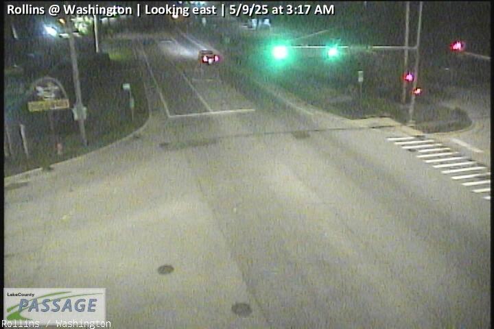 WorkingStill imageRollins at Washington, looking east
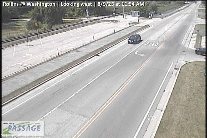 WorkingStill imageRollins at Washington, looking west
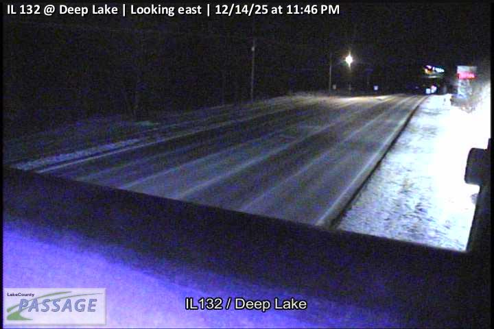 WorkingStill imageIL 132 at Deep Lake, looking east
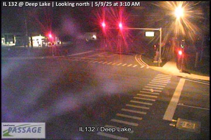 WorkingStill imageIL 132 at Deep Lake, looking north
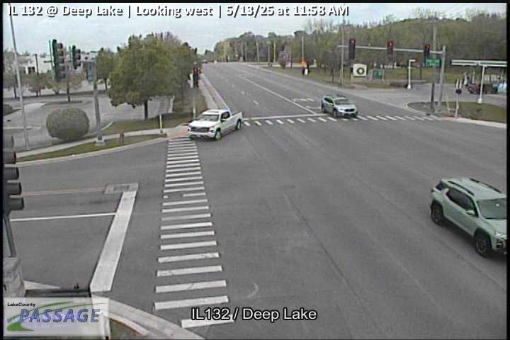 WorkingStill imageIL 132 at Deep Lake, looking west
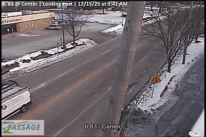 WorkingStill imageIL 83 at Center, looking east
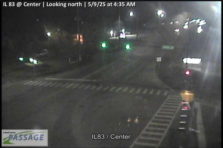 WorkingStill imageIL 83 at Center, looking north
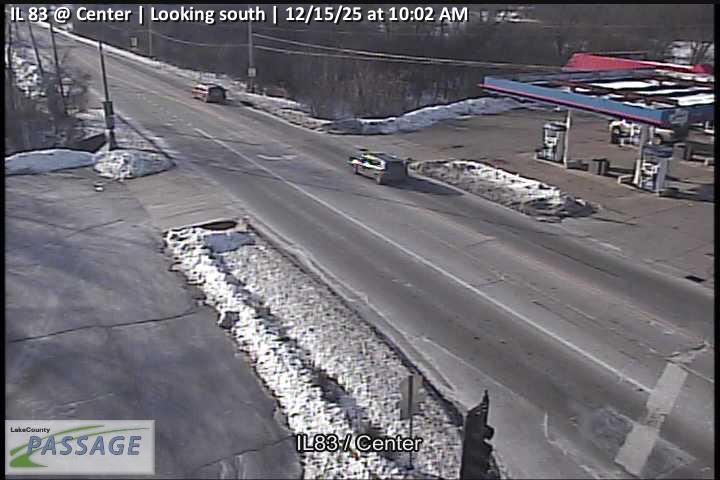 WorkingStill imageIL 83 at Center, looking south
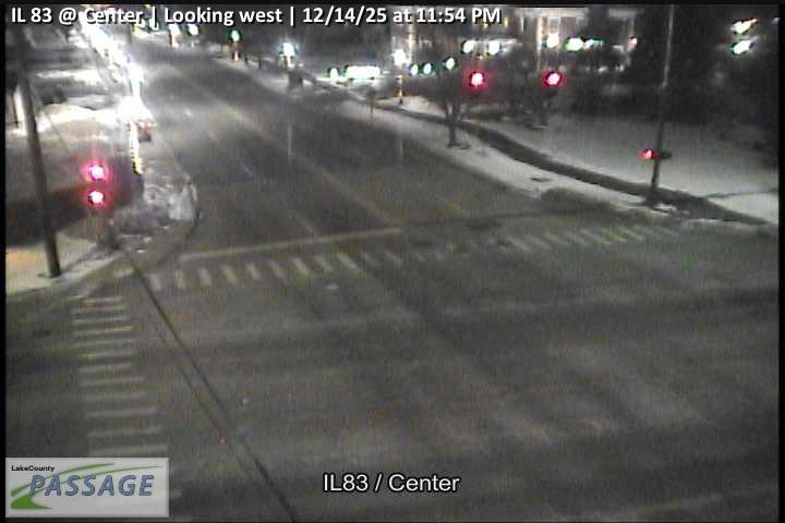 WorkingStill imageIL 83 at Center, looking west
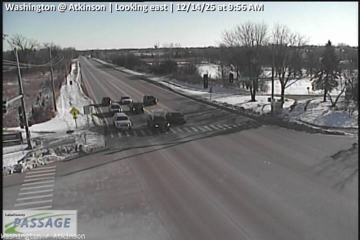 WorkingStill imageWashington at Atkinson, looking east
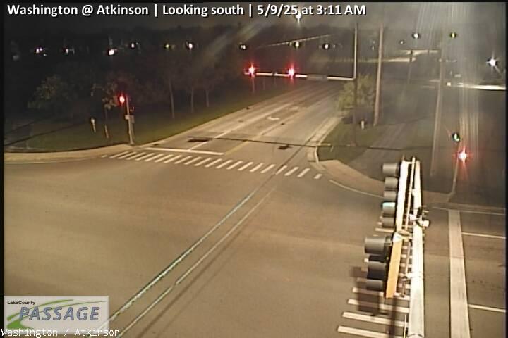 WorkingStill imageWashington at Atkinson, looking south
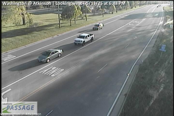 WorkingStill imageWashington at Atkinson, looking west
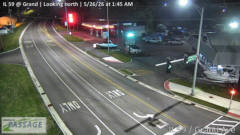 WorkingStill imageIL 59 at Grand, looking north
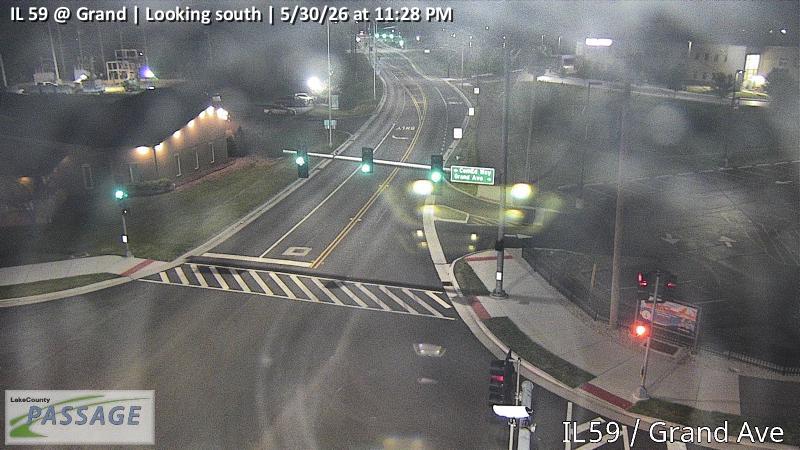 WorkingStill imageIL 59 at Grand, looking south
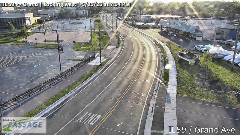 WorkingStill imageIL 59 at Grand, looking west
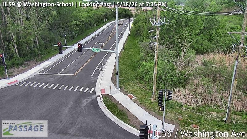 WorkingStill imageIL 59 at Washington-School, looking east
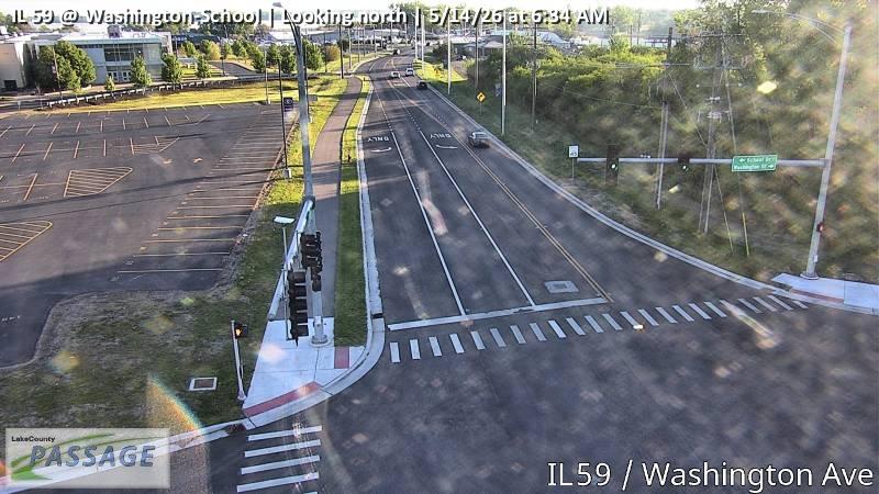 WorkingStill imageIL 59 at Washington-School, looking north
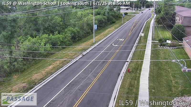 WorkingStill imageIL 59 at Washington-School, looking south
 WorkingStill imageIL 59 at Devlin, looking east
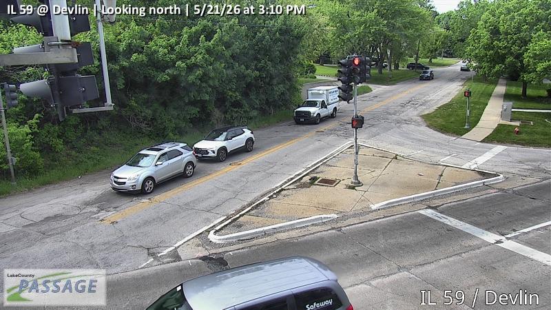 WorkingStill imageIL 59 at Devlin, looking north
 WorkingStill imageIL 59 at Devlin, looking south
 WorkingStill imageIL 59 at Devlin, looking west
 WorkingStill imageIL 83 at IL 120, looking east
 WorkingStill imageIL 83 at IL 120, looking north
 WorkingStill imageIL 83 at IL 120, looking south
 WorkingStill imageIL 83 at IL 120, looking west
 WorkingStill imageCenter at Atkinson, looking east
 WorkingStill imageCenter at Atkinson, looking north
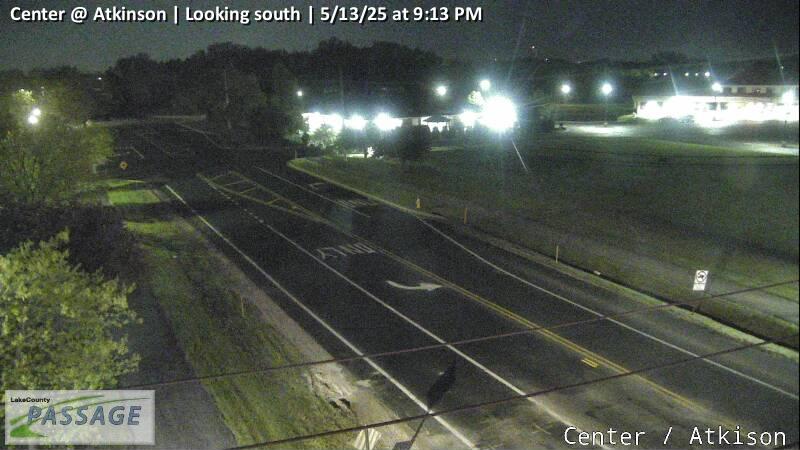 WorkingStill imageCenter at Atkinson, looking south
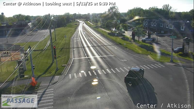 WorkingStill imageCenter at Atkinson, looking west
_cctv_North_Leg.jpg) WorkingStill imageCedar Lake at Amarias (Wireless), looking north
WorkingStill imageCedar Lake at Amarias (Wireless), looking north_cctv_South_Leg.jpg) WorkingStill imageCedar Lake at Amarias (Wireless), looking south
WorkingStill imageCedar Lake at Amarias (Wireless), looking south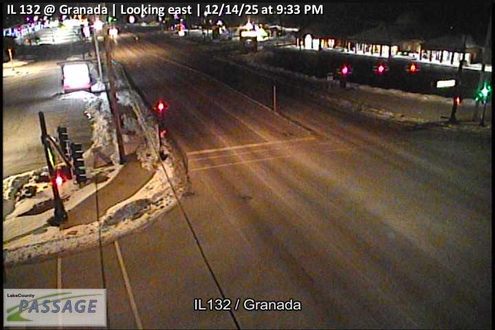 WorkingStill imageIL 132 at Granada, looking east
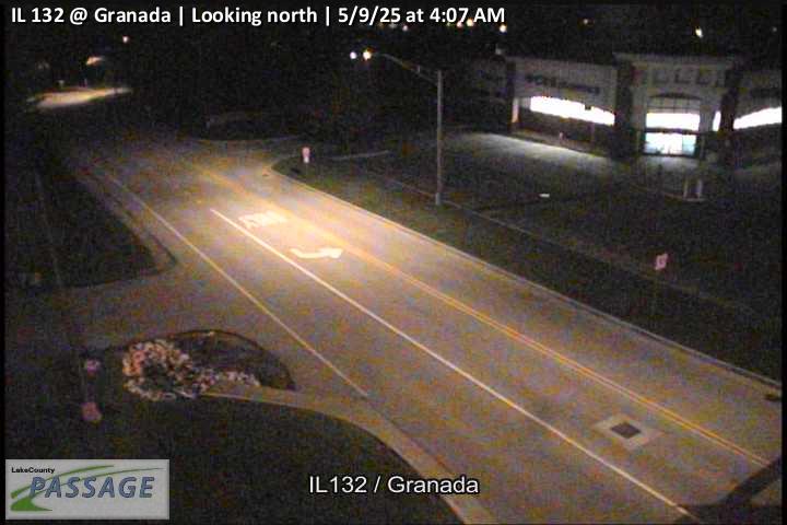 WorkingStill imageIL 132 at Granada, looking north
 WorkingStill imageIL 132 at Granada, looking south
 WorkingStill imageIL 132 at Granada, looking west
 WorkingStill imageIL 132 at Sand Lake, looking east
 WorkingStill imageIL 132 at Sand Lake, looking north
 WorkingStill imageIL 132 at Sand Lake, looking south
_cctv_East_Leg.jpg) WorkingStill imageIL 60 at Fairfield (Wireless), looking east
WorkingStill imageIL 60 at Fairfield (Wireless), looking east_cctv_North_Leg.jpg) WorkingStill imageIL 60 at Fairfield (Wireless), looking north
WorkingStill imageIL 60 at Fairfield (Wireless), looking north_cctv_South_Leg.jpg) WorkingStill imageIL 60 at Fairfield (Wireless), looking south
WorkingStill imageIL 60 at Fairfield (Wireless), looking south_cctv_West_Leg.jpg) WorkingStill imageIL 60 at Fairfield (Wireless), looking west
WorkingStill imageIL 60 at Fairfield (Wireless), looking west_cctv_East_Leg.jpg) WorkingStill imageIL 60 at Cedar Lake (Wireless), looking east
WorkingStill imageIL 60 at Cedar Lake (Wireless), looking east_cctv_North_Leg.jpg) WorkingStill imageIL 60 at Cedar Lake (Wireless), looking north
WorkingStill imageIL 60 at Cedar Lake (Wireless), looking north_cctv_West_Leg.jpg) WorkingStill imageIL 60 at Cedar Lake (Wireless), looking west
WorkingStill imageIL 60 at Cedar Lake (Wireless), looking west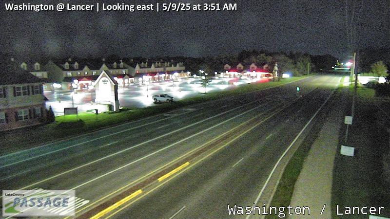 WorkingStill imageWashington at Lancer, looking east
 WorkingStill imageWashington at Lancer, looking west
No live video among these cameras. Turn off "Live video only" to see them all.
Best cams to watch
- Rollins at Civic Center Way, looking east — Still image · every 10 min, working 100 % of the time in the last 30 days.
- Hainesville at Washington, looking east — Still image · every 10 min, working 100 % of the time in the last 30 days.
- IL 83 at Lake, looking north — Still image · every 10 min, working 100 % of the time in the last 30 days.
Round Lake Beach started as a place to get away. In 1930 a developer named L. B. Harris began selling inexpensive lots on the west side of Round Lake for summer cottages, aimed at working families from Chicago who wanted a lake of their own for the weekend. Many of those first cabins had no electricity or running water. The village incorporated in 1937, and after World War II returning veterans bought year-round homes here, turning the resort into a full suburb. Today about 27,300 people live in Round Lake Beach (2020 census), one of the most densely built villages in Lake County, with a lively Latino community and many Mexican shops and restaurants.
The lake is still the heart of town, with a lakefront park on its shore. The village sits at the edge of the lake country of northwestern Lake County, a landscape of small lakes and wetlands that leads on toward the Chain O’Lakes and the Fox River.
What you will see
More than 170 cameras belong to Round Lake Beach on LiveLocation. Every one is a traffic camera from the Illinois Department of Transportation’s Gateway traveler information system, watching roads such as Illinois Route 83, Illinois Route 120 and US-12 (Rand Road), plus the intersections that feed them. These are working cameras for drivers, and their pictures refresh periodically, so some appear as still images.
- Summer weekends bring boaters and anglers heading to the lakes.
- Weekday rush hours show the commute toward Chicago.
- Winter snowfall makes the side streets slow to clear.
Round Lake Beach follows Central Time. The longest days of June keep the roads visible until around half past eight in the evening, while December views go dark around half past four.
The village of Round Lake shares the same lake just to the south, and Grayslake sits a few miles to the southeast. Cameras from both towns, and from the roads toward the Chain O’Lakes, appear inside this page’s radius.
Sources: Round Lake Beach, Illinois - Wikipedia · Round Lake Beach, IL - Encyclopedia of Chicago · Lakefront Park of Round Lake Beach - Visit Lake County.
Nearby places
- Waukegan (620)
- Wheaton (617)
- North Peoria (554)
- Peoria (553)
- Naperville (475)
- Gurnee (386)
- Palatine (354)
- Grayslake (346)
Questions about Round Lake Beach
How many webcams can I watch in Round Lake Beach?
LiveLocation lists 200 cameras in and around Round Lake Beach, United States: 0 live video, 200 still images. 200 of them were live or showing a fresh image at the last check.
Who runs the cameras in Round Lake Beach?
All of them come from Illinois DOT (200). Each camera plays straight from the agency or owner that runs it, with credit. Illinois DOT
What can I see on the Round Lake Beach cameras?
All of them show traffic and highway (200). Good ones to start with: Rollins at Civic Center Way, looking east and Hainesville at Washington, looking east. Rollins at Civic Center Way, looking east Hainesville at Washington, looking east
Can I watch live video from Round Lake Beach?
Not yet: the cameras here send still images that refresh about every 10 minutes. The map can show only live-video cameras nearby. Live video on the map
What time is it in Round Lake Beach, and when is it light?
Round Lake Beach is on America/Chicago time. On October 7 the sun rises at 6:56 AM and sets at 6:23 PM, so still images are clearest between those times. Road cameras show the most traffic in the weekday morning and evening rush hours.
Which places near Round Lake Beach also have cameras?
The nearest are Round Lake (1.3 mi away, 298 cameras), Grayslake (3.1 mi away, 346 cameras) and Mundelein (8.7 mi away, 271 cameras). Round Lake Grayslake Mundelein
How can I see the Round Lake Beach cameras on a map?
The map at the top of this page shows all 200 of them. The live camera radar centers on Round Lake Beach and lists every camera within 5 to 250 miles, nearest first, with filters for live video, traffic, nature and more. Open the radar on Round Lake Beach
Place names and locations: GeoNames, licensed under CC BY 4.0.