Live cameras in Round Lake, United States
200 cameras: 0 live video, 200 still images · 200 working now · updated Oct 8, 03:32 UTC
Round Lake has 200 live cameras on LiveLocation right now: 0 live video, 200 still images. Good places to start: Hainesville at Washington, looking east, Rollins at Civic Center Way, looking east, IL 83 at Lake, looking north. Local time is 10:32 PM (America/Chicago). Today the sun rises at 6:56 AM and sets at 6:23 PM.
Round Lake live cameras
Round Lake live cameras, all in one place: 0 live video, 200 still images. 200 were working at the last check. Round Lake is home to about 18,000 people.
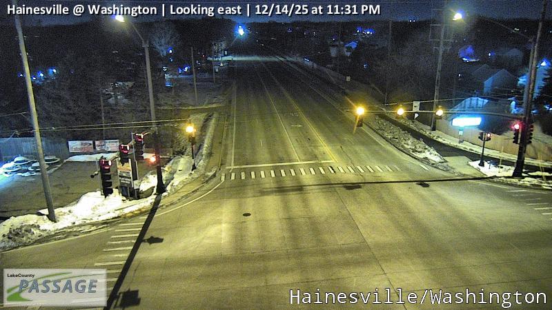 WorkingStill imageHainesville at Washington, looking east
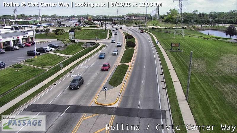 WorkingStill imageRollins at Civic Center Way, looking east
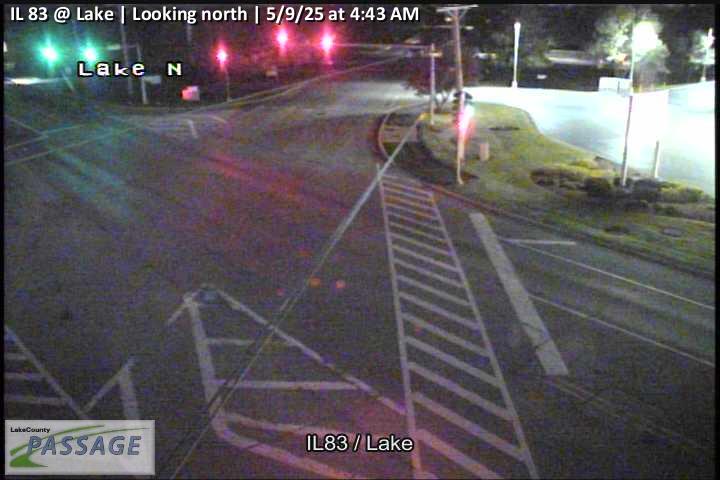 WorkingStill imageIL 83 at Lake, looking north
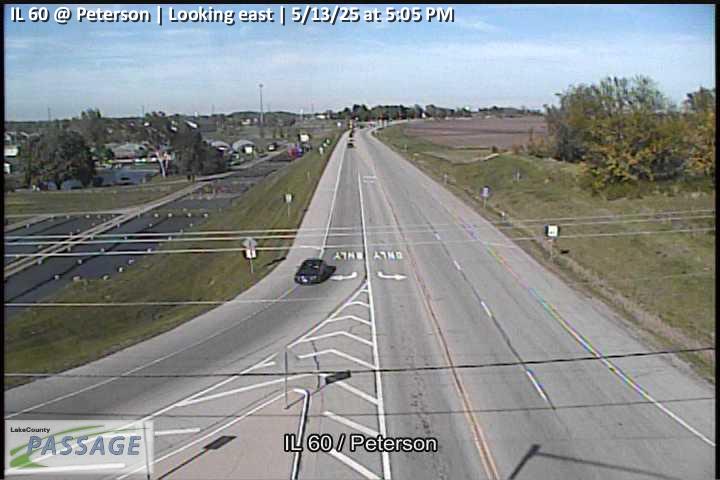 WorkingStill imageIL 60 at Peterson, looking east
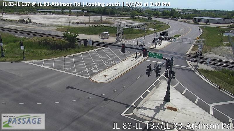 WorkingStill imageIL 83-IL 137 at IL 83-Atkinson Rd, looking south
_cctv_South_Leg.jpg) WorkingStill imageUS 45 at IL 120 (SW), looking south
WorkingStill imageUS 45 at IL 120 (SW), looking south WorkingStill imageCedar Lake at Hart, looking north
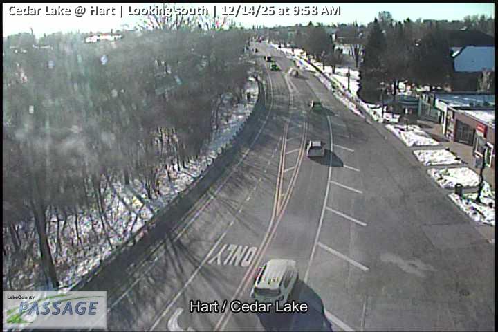 WorkingStill imageCedar Lake at Hart, looking south
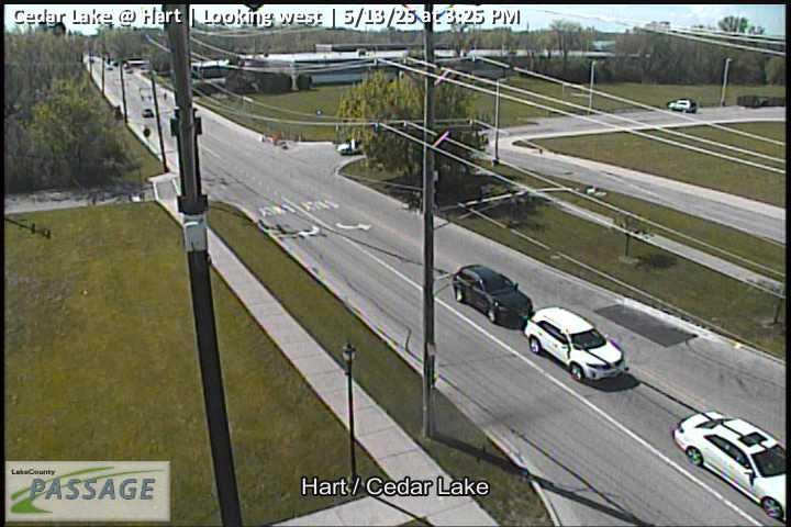 WorkingStill imageCedar Lake at Hart, looking west
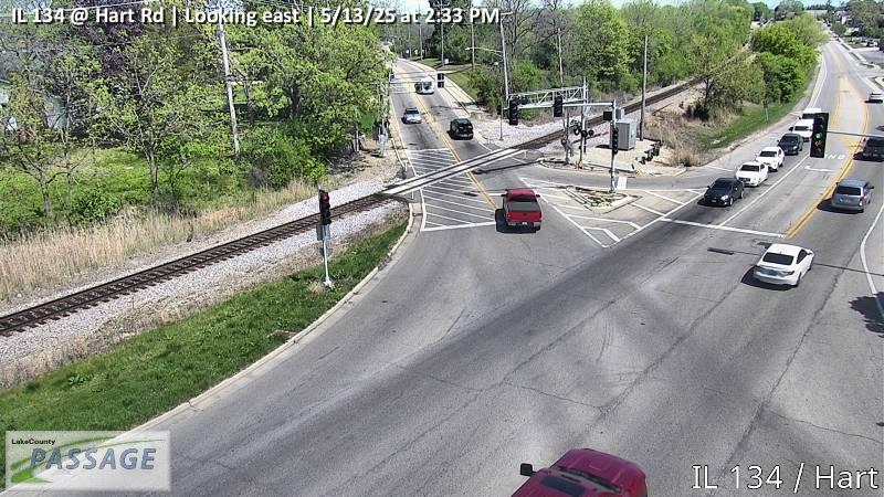 WorkingStill imageIL 134 at Hart Rd, looking east
 WorkingStill imageIL 134 at Hart Rd, looking north
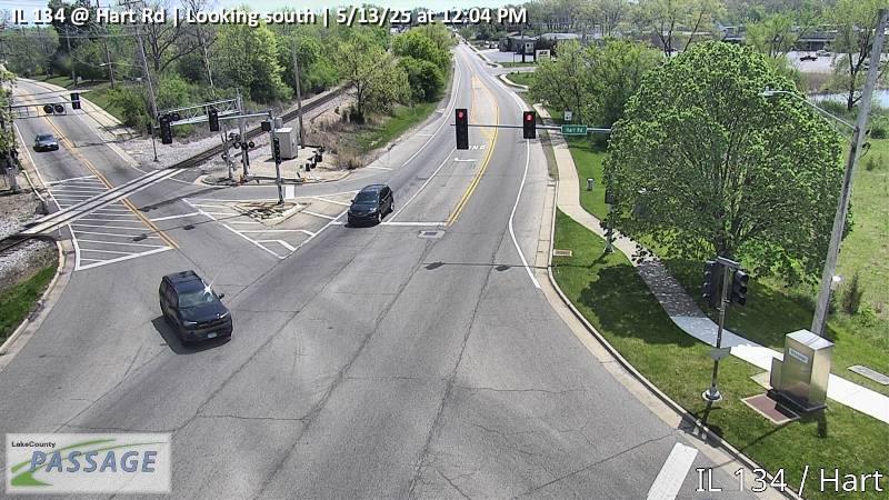 WorkingStill imageIL 134 at Hart Rd, looking south
 WorkingStill imageIL 134 at Hart Rd, looking west
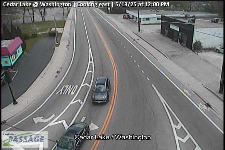 WorkingStill imageCedar Lake at Washington, looking east
 WorkingStill imageCedar Lake at Washington, looking north
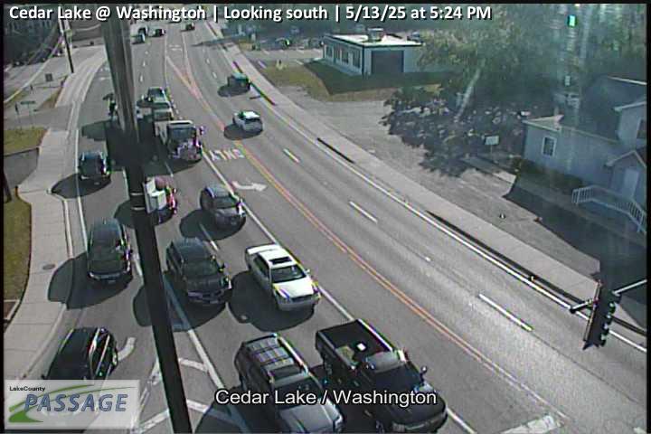 WorkingStill imageCedar Lake at Washington, looking south
 WorkingStill imageCedar Lake at Rosedale, looking north
 WorkingStill imageCedar Lake at Rosedale, looking south
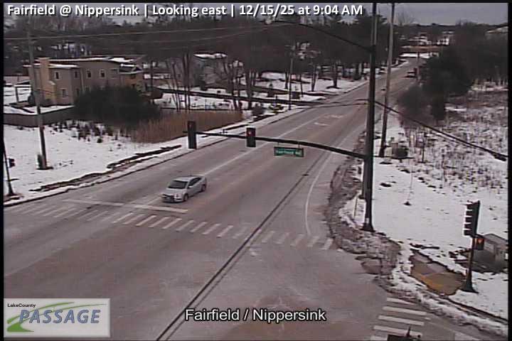 WorkingStill imageFairfield at Nippersink, looking east
 WorkingStill imageFairfield at Nippersink, looking north
 WorkingStill imageFairfield at Nippersink, looking south
 WorkingStill imageFairfield at Nippersink, looking west
 WorkingStill imageIL 134 at Fairfield Rd, looking east
 WorkingStill imageIL 134 at Fairfield Rd, looking north
 WorkingStill imageIL 134 at Fairfield Rd, looking south
 WorkingStill imageIL 134 at Fairfield Rd, looking west
 WorkingStill imageCedar Lake at Clarendon, looking north
 WorkingStill imageCedar Lake at Clarendon, looking south
 WorkingStill imageIL 120 at IL 134, looking east
 WorkingStill imageIL 120 at IL 134, looking north
 WorkingStill imageIL 120 at IL 134, looking west
 WorkingStill imageHainesville at Washington, looking north
 WorkingStill imageHainesville at Washington, looking south
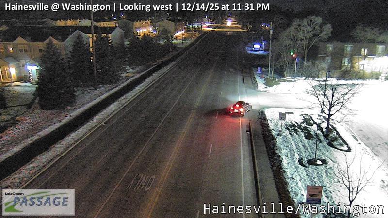 WorkingStill imageHainesville at Washington, looking west
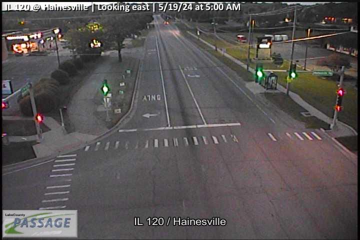 WorkingStill imageIL 120 at Hainesville, looking east
 WorkingStill imageIL 120 at Hainesville, looking north
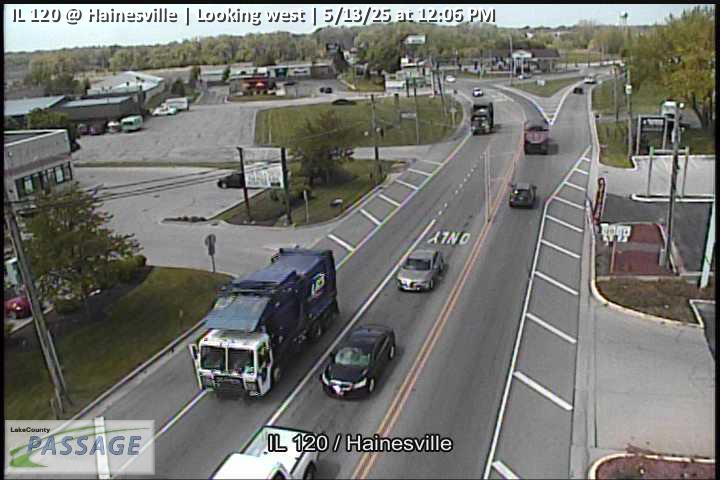 WorkingStill imageIL 120 at Hainesville, looking west
_cctv_East_Leg.jpg) WorkingStill imageIL 120 at Fairfield (Wireless), looking east
WorkingStill imageIL 120 at Fairfield (Wireless), looking east_cctv_North_Leg.jpg) WorkingStill imageIL 120 at Fairfield (Wireless), looking north
WorkingStill imageIL 120 at Fairfield (Wireless), looking north_cctv_South_Leg.jpg) WorkingStill imageIL 120 at Fairfield (Wireless), looking south
WorkingStill imageIL 120 at Fairfield (Wireless), looking south_cctv_West_Leg.jpg) WorkingStill imageIL 120 at Fairfield (Wireless), looking west
WorkingStill imageIL 120 at Fairfield (Wireless), looking west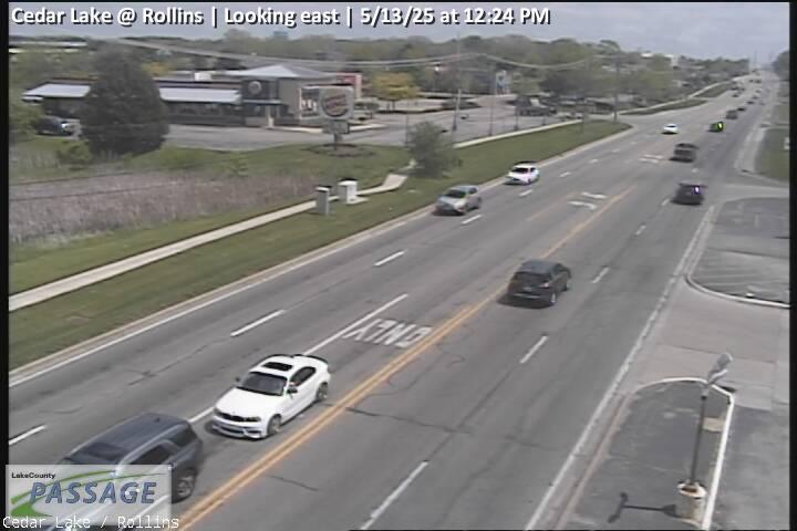 WorkingStill imageCedar Lake at Rollins, looking east
 WorkingStill imageCedar Lake at Rollins, looking north
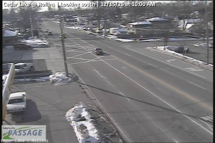 WorkingStill imageCedar Lake at Rollins, looking south
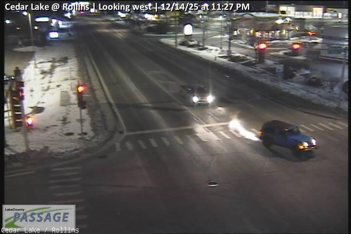 WorkingStill imageCedar Lake at Rollins, looking west
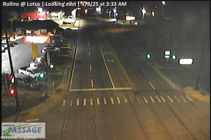 WorkingStill imageRollins at Lotus, looking east
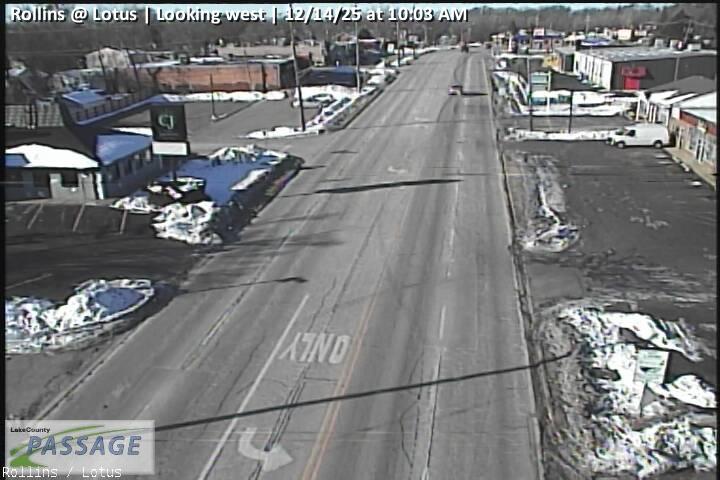 WorkingStill imageRollins at Lotus, looking west
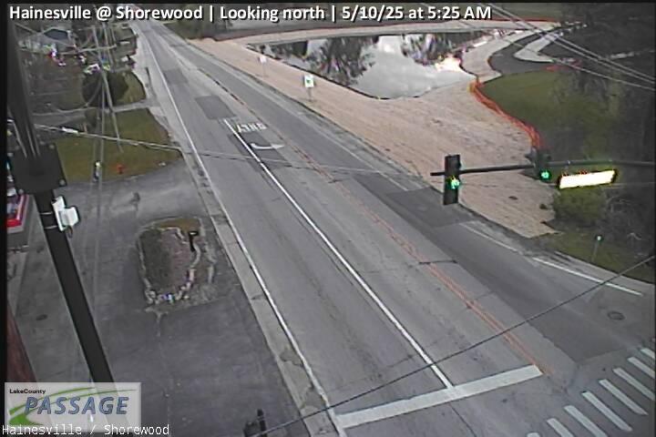 WorkingStill imageHainesville at Shorewood, looking north
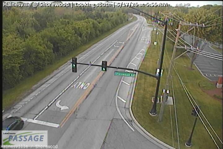 WorkingStill imageHainesville at Shorewood, looking south
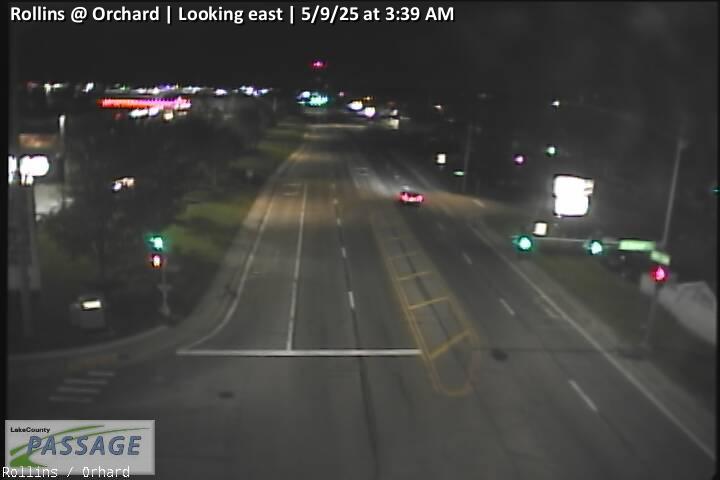 WorkingStill imageRollins at Orchard, looking east
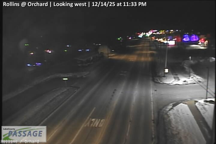 WorkingStill imageRollins at Orchard, looking west
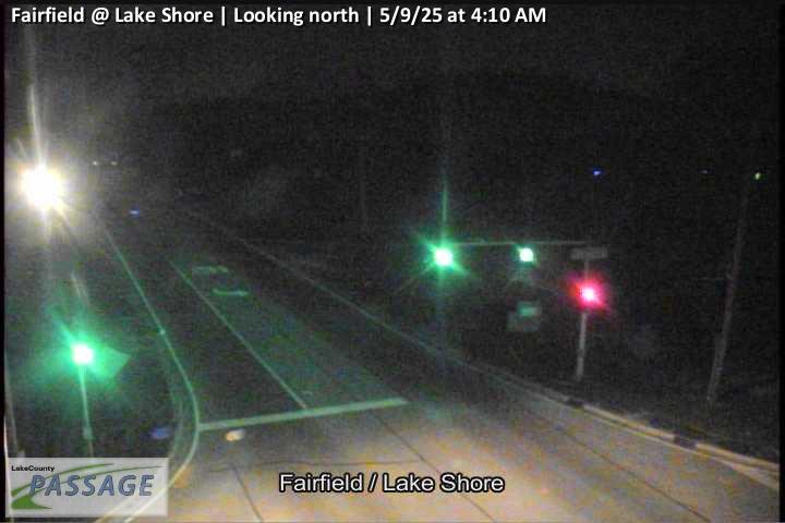 WorkingStill imageFairfield at Lake Shore, looking north
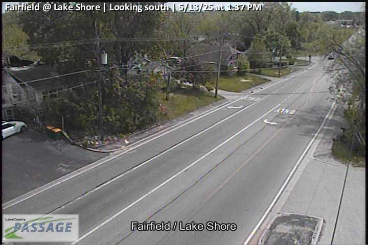 WorkingStill imageFairfield at Lake Shore, looking south
_cctv_East_Leg.jpg) WorkingStill imageIL 120 at Wilson (Wireless), looking east
WorkingStill imageIL 120 at Wilson (Wireless), looking east_cctv_North_Leg.jpg) WorkingStill imageIL 120 at Wilson (Wireless), looking north
WorkingStill imageIL 120 at Wilson (Wireless), looking north_cctv_South_Leg.jpg) WorkingStill imageIL 120 at Wilson (Wireless), looking south
WorkingStill imageIL 120 at Wilson (Wireless), looking south_cctv_West_Leg.jpg) WorkingStill imageIL 120 at Wilson (Wireless), looking west
WorkingStill imageIL 120 at Wilson (Wireless), looking west WorkingStill imageRollins at Civic Center Way, looking north
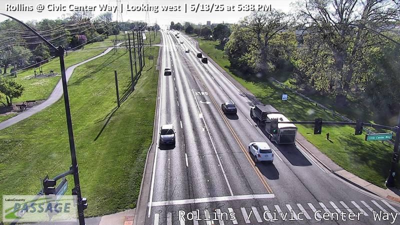 WorkingStill imageRollins at Civic Center Way, looking west
 WorkingStill imageIL 120 at Alleghany, looking east
 WorkingStill imageIL 120 at Alleghany, looking south
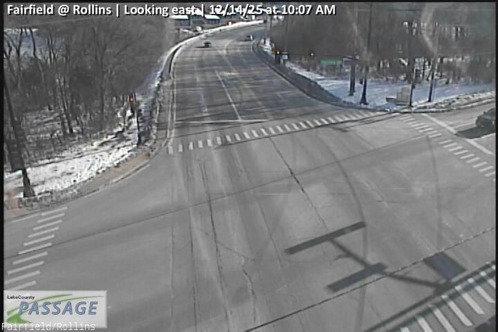 WorkingStill imageFairfield at Rollins, looking east
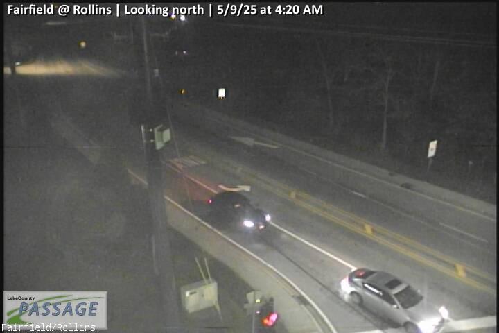 WorkingStill imageFairfield at Rollins, looking north
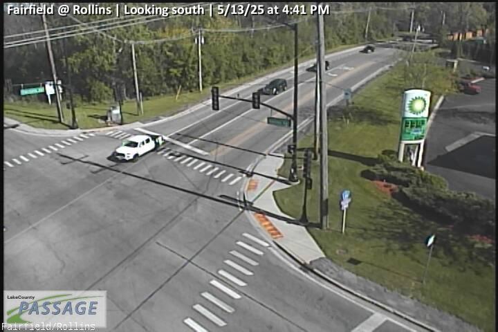 WorkingStill imageFairfield at Rollins, looking south
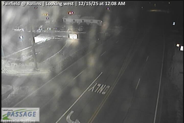 WorkingStill imageFairfield at Rollins, looking west
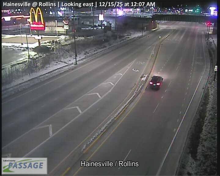 WorkingStill imageHainesville at Rollins, looking east
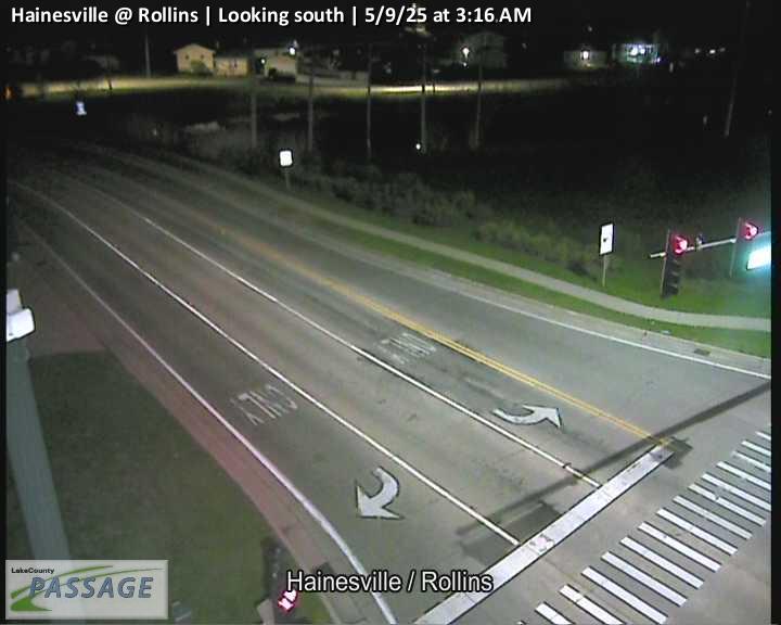 WorkingStill imageHainesville at Rollins, looking south
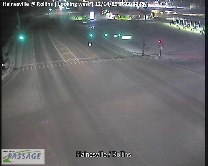 WorkingStill imageHainesville at Rollins, looking west
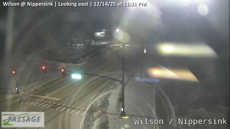 WorkingStill imageWilson at Nippersink, looking east
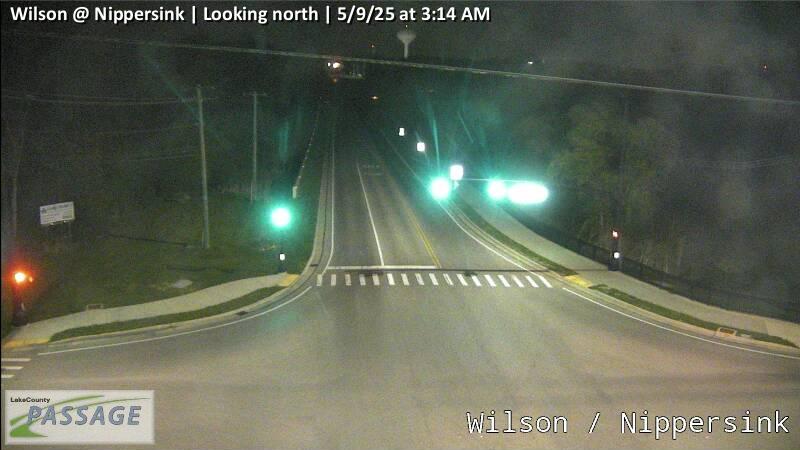 WorkingStill imageWilson at Nippersink, looking north
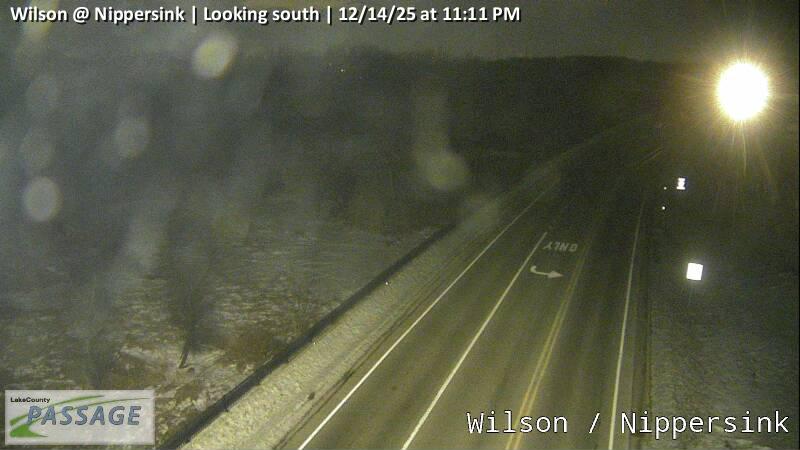 WorkingStill imageWilson at Nippersink, looking south
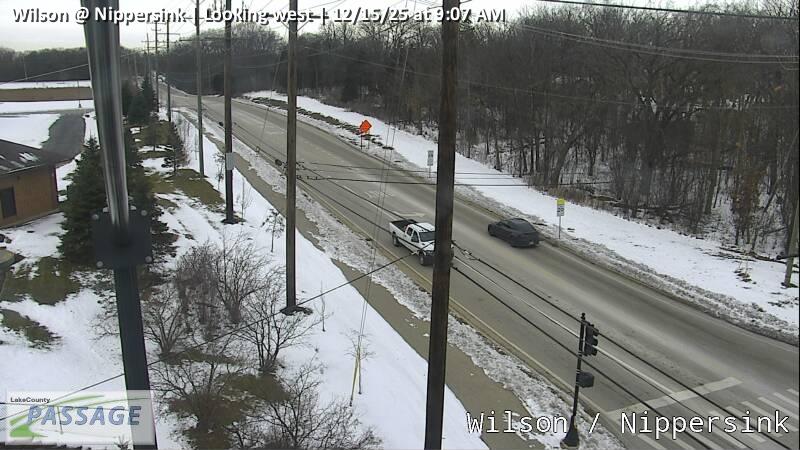 WorkingStill imageWilson at Nippersink, looking west
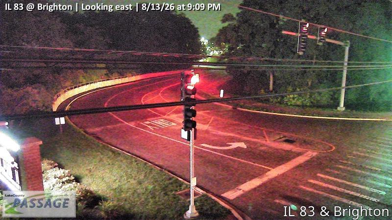 WorkingStill imageIL 83 at Brighton, looking east
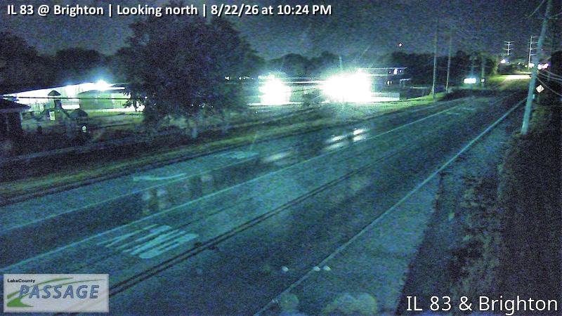 WorkingStill imageIL 83 at Brighton, looking north
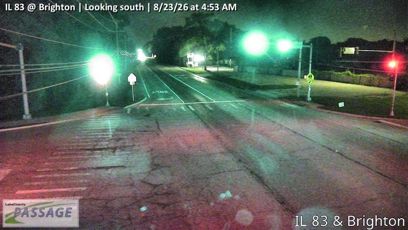 WorkingStill imageIL 83 at Brighton, looking south
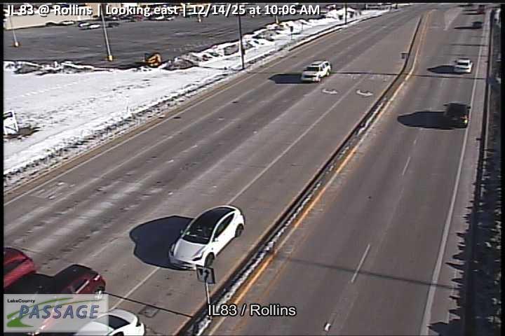 WorkingStill imageIL 83 at Rollins, looking east
 WorkingStill imageIL 83 at Rollins, looking north
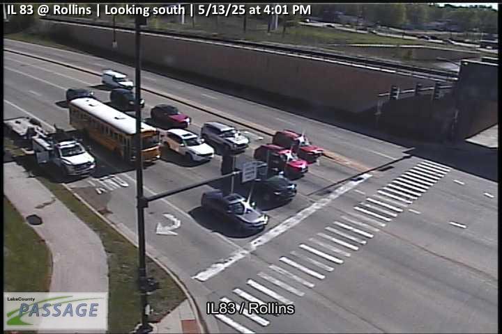 WorkingStill imageIL 83 at Rollins, looking south
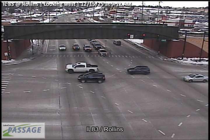 WorkingStill imageIL 83 at Rollins, looking west
 WorkingStill imageIL 83 at Shorewood, looking east
 WorkingStill imageIL 83 at Shorewood, looking north
 WorkingStill imageIL 83 at Shorewood, looking south
 WorkingStill imageIL 83 at Shorewood, looking west
 WorkingStill imageWashington at Lake, looking east
 WorkingStill imageWashington at Lake, looking north
 WorkingStill imageWashington at Lake, looking south
 WorkingStill imageWashington at Lake, looking west
 WorkingStill imageRollins at Plaza, looking east
 WorkingStill imageRollins at Plaza, looking west
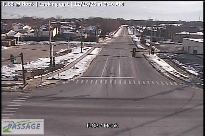 WorkingStill imageIL 83 at Hook, looking east
 WorkingStill imageIL 83 at Hook, looking north
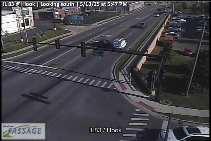 WorkingStill imageIL 83 at Hook, looking south
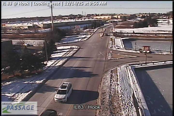 WorkingStill imageIL 83 at Hook, looking west
_cctv_North_Leg.jpg) WorkingStill imageCedar Lake at Amarias (Wireless), looking north
WorkingStill imageCedar Lake at Amarias (Wireless), looking north_cctv_South_Leg.jpg) WorkingStill imageCedar Lake at Amarias (Wireless), looking south
WorkingStill imageCedar Lake at Amarias (Wireless), looking south_cctv_East_Leg.jpg) WorkingStill imageIL 134 at Wilson (Cell), looking east
WorkingStill imageIL 134 at Wilson (Cell), looking east_cctv_North_Leg.jpg) WorkingStill imageIL 134 at Wilson (Cell), looking north
WorkingStill imageIL 134 at Wilson (Cell), looking north_cctv_South_Leg.jpg) WorkingStill imageIL 134 at Wilson (Cell), looking south
WorkingStill imageIL 134 at Wilson (Cell), looking south_cctv_West_Leg.jpg) WorkingStill imageIL 134 at Wilson (Cell), looking west
WorkingStill imageIL 134 at Wilson (Cell), looking west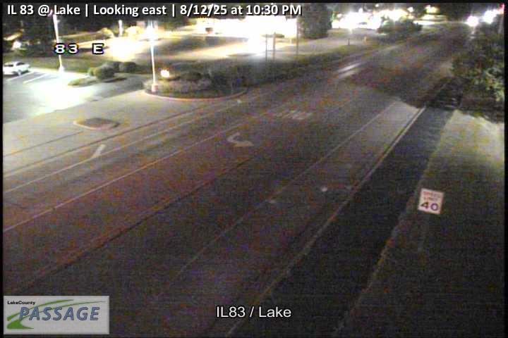 WorkingStill imageIL 83 at Lake, looking east
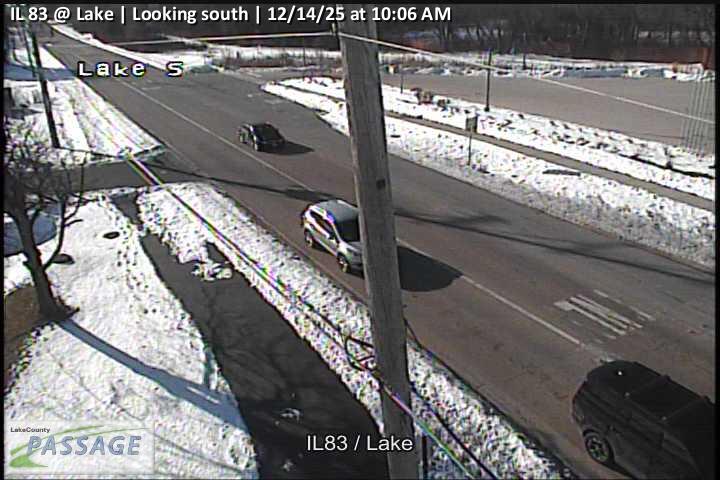 WorkingStill imageIL 83 at Lake, looking south
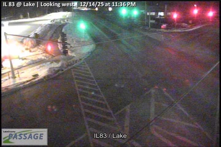 WorkingStill imageIL 83 at Lake, looking west
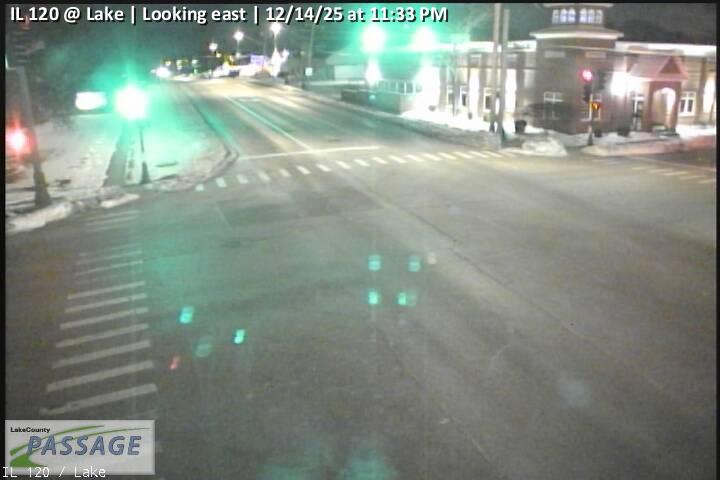 WorkingStill imageIL 120 at Lake, looking east
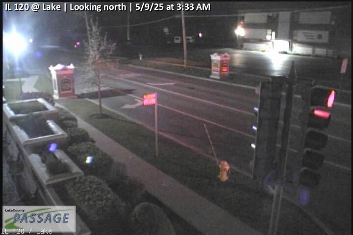 WorkingStill imageIL 120 at Lake, looking north
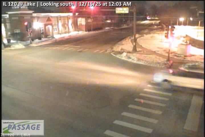 WorkingStill imageIL 120 at Lake, looking south
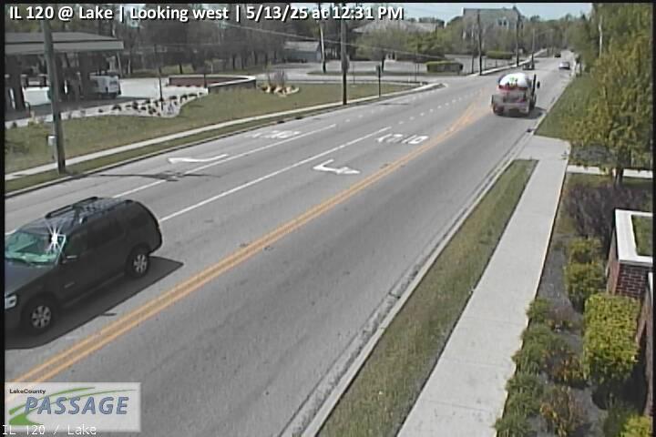 WorkingStill imageIL 120 at Lake, looking west
_cctv_East_Leg.jpg) WorkingStill imageIL 60 at Cedar Lake (Wireless), looking east
WorkingStill imageIL 60 at Cedar Lake (Wireless), looking east_cctv_North_Leg.jpg) WorkingStill imageIL 60 at Cedar Lake (Wireless), looking north
WorkingStill imageIL 60 at Cedar Lake (Wireless), looking north_cctv_West_Leg.jpg) WorkingStill imageIL 60 at Cedar Lake (Wireless), looking west
WorkingStill imageIL 60 at Cedar Lake (Wireless), looking west_cctv_East_Leg.jpg) WorkingStill imageIL 60 at Fairfield (Wireless), looking east
WorkingStill imageIL 60 at Fairfield (Wireless), looking east_cctv_North_Leg.jpg) WorkingStill imageIL 60 at Fairfield (Wireless), looking north
WorkingStill imageIL 60 at Fairfield (Wireless), looking north_cctv_South_Leg.jpg) WorkingStill imageIL 60 at Fairfield (Wireless), looking south
WorkingStill imageIL 60 at Fairfield (Wireless), looking south_cctv_West_Leg.jpg) WorkingStill imageIL 60 at Fairfield (Wireless), looking west
WorkingStill imageIL 60 at Fairfield (Wireless), looking west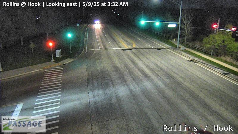 WorkingStill imageRollins at Hook, looking east
 WorkingStill imageRollins at Hook, looking west
 WorkingStill imageIL 83 at Millstone, looking east
 WorkingStill imageIL 83 at Millstone, looking north
 WorkingStill imageIL 83 at Millstone, looking south
 WorkingStill imageIL 83 at Millstone, looking west
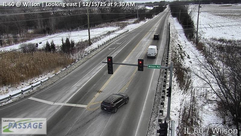 WorkingStill imageIL 60 at Wilson, looking east
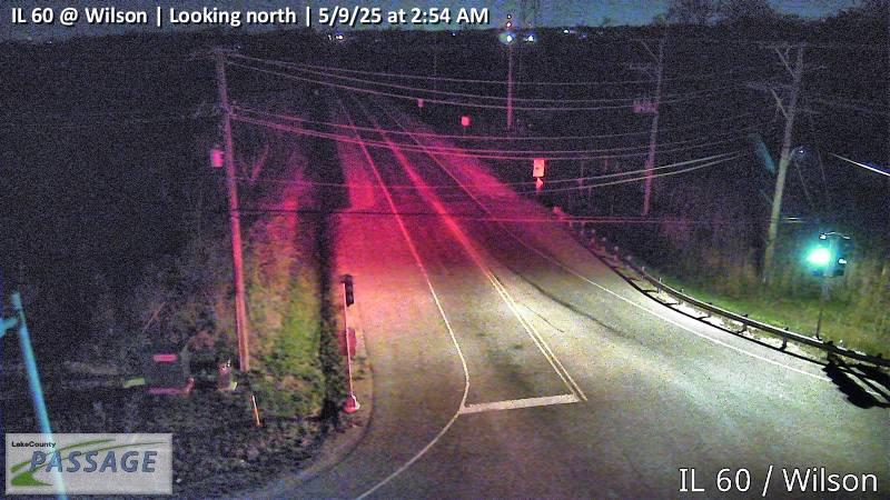 WorkingStill imageIL 60 at Wilson, looking north
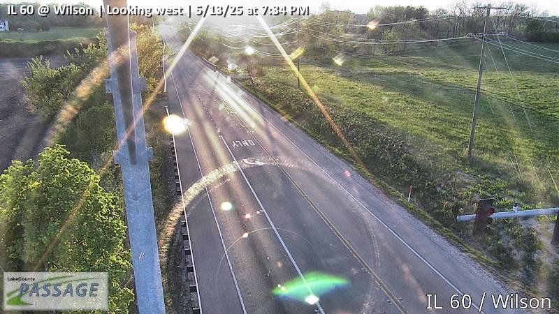 WorkingStill imageIL 60 at Wilson, looking west
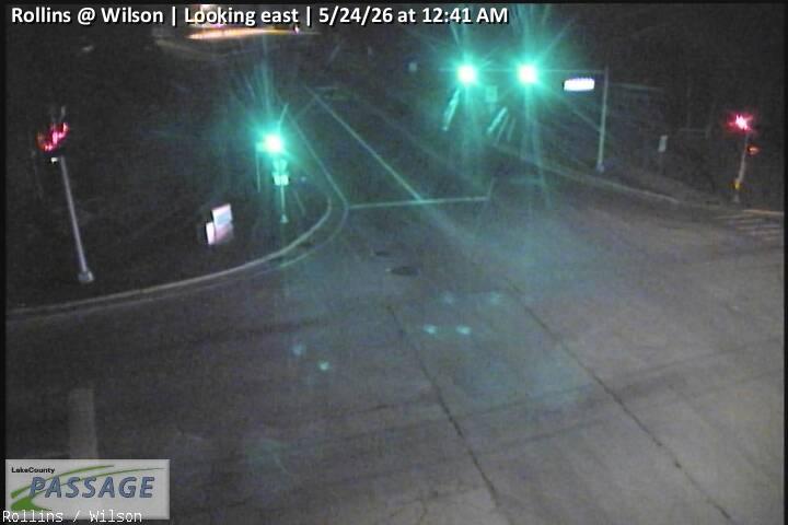 WorkingStill imageRollins at Wilson, looking east
 WorkingStill imageRollins at Wilson, looking north
 WorkingStill imageRollins at Wilson, looking south
 WorkingStill imageRollins at Wilson, looking west
 WorkingStill imageIL 83 at Frederick, looking east
 WorkingStill imageIL 83 at Frederick, looking north
 WorkingStill imageIL 83 at Frederick, looking south
_cctv_North_Leg.jpg) WorkingStill imageCedar Lake at Monaville (Cell), looking north
WorkingStill imageCedar Lake at Monaville (Cell), looking north_cctv_South_Leg.jpg) WorkingStill imageCedar Lake at Monaville (Cell), looking south
WorkingStill imageCedar Lake at Monaville (Cell), looking south WorkingStill imageIL 83 at Washington, looking east
 WorkingStill imageIL 83 at Washington, looking north
 WorkingStill imageIL 83 at Washington, looking south
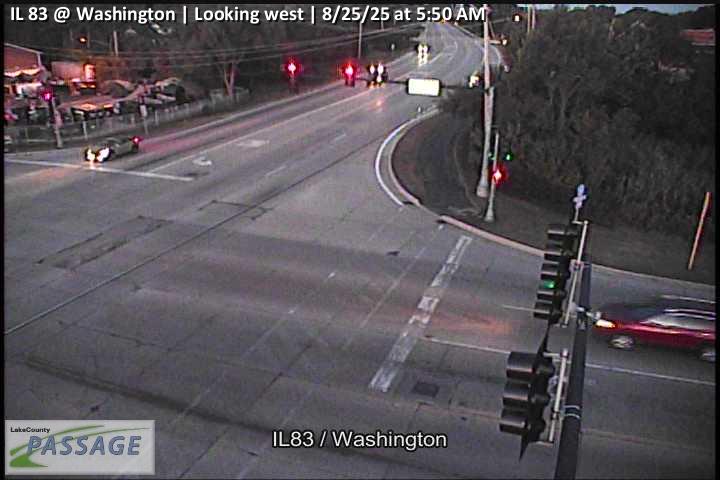 WorkingStill imageIL 83 at Washington, looking west
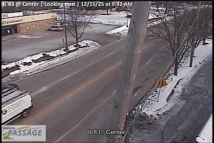 WorkingStill imageIL 83 at Center, looking east
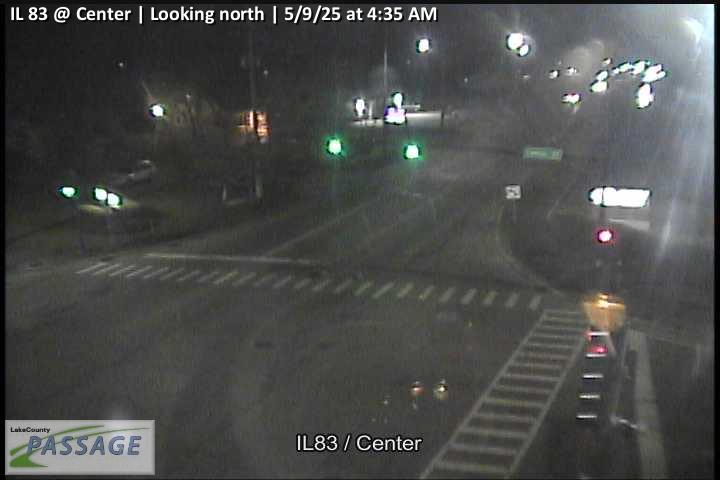 WorkingStill imageIL 83 at Center, looking north
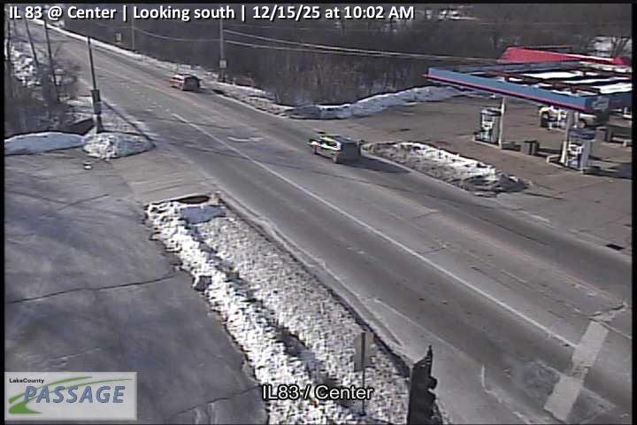 WorkingStill imageIL 83 at Center, looking south
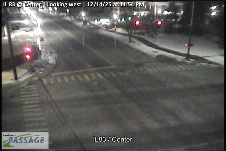 WorkingStill imageIL 83 at Center, looking west
 WorkingStill imageIL 83 at Monaville, looking north
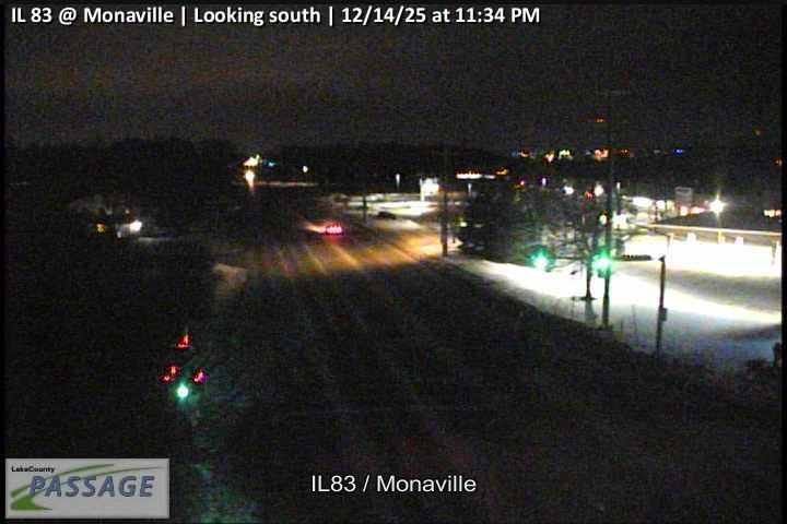 WorkingStill imageIL 83 at Monaville, looking south
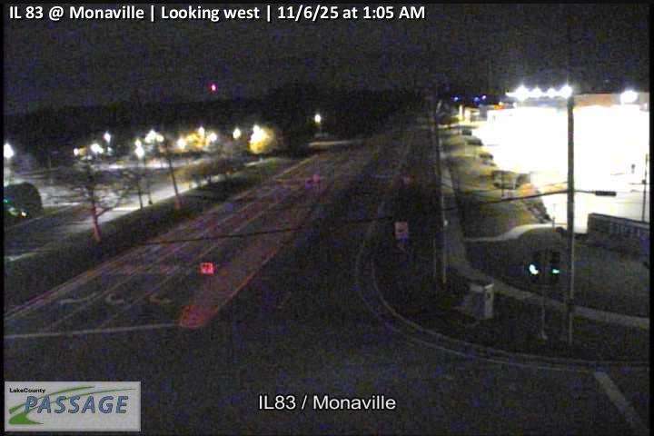 WorkingStill imageIL 83 at Monaville, looking west
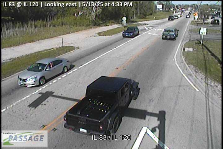 WorkingStill imageIL 83 at IL 120, looking east
 WorkingStill imageIL 83 at IL 120, looking north
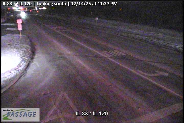 WorkingStill imageIL 83 at IL 120, looking south
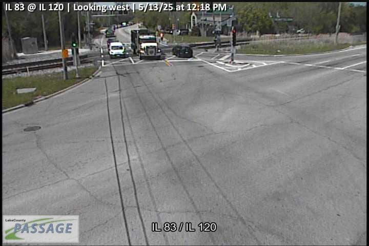 WorkingStill imageIL 83 at IL 120, looking west
_cctv_East_Leg.jpg) WorkingStill imageFairfield at Monaville (Cell), looking east
WorkingStill imageFairfield at Monaville (Cell), looking east_cctv_North_Leg.jpg) WorkingStill imageFairfield at Monaville (Cell), looking north
WorkingStill imageFairfield at Monaville (Cell), looking north_cctv_South_Leg.jpg) WorkingStill imageFairfield at Monaville (Cell), looking south
WorkingStill imageFairfield at Monaville (Cell), looking south_cctv_West_Leg.jpg) WorkingStill imageFairfield at Monaville (Cell), looking west
WorkingStill imageFairfield at Monaville (Cell), looking west WorkingStill imageIL 83 at Engle, looking east
 WorkingStill imageIL 83 at Engle, looking north
 WorkingStill imageIL 83 at Engle, looking south
 WorkingStill imageIL 83 at Engle, looking west
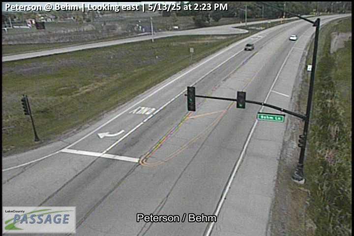 WorkingStill imagePeterson at Behm, looking east
 WorkingStill imagePeterson at Behm, looking north
 WorkingStill imagePeterson at Behm, looking west
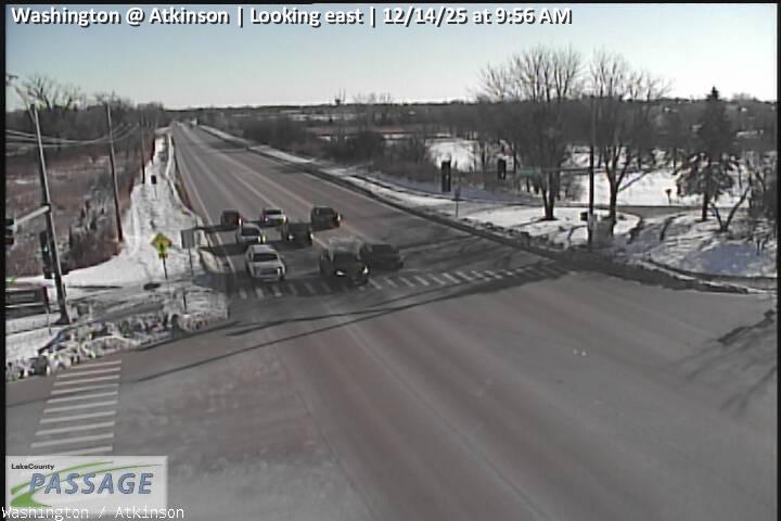 WorkingStill imageWashington at Atkinson, looking east
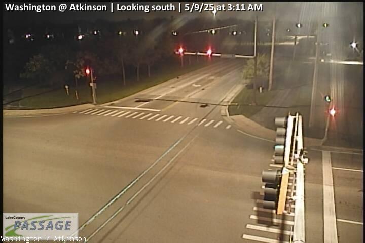 WorkingStill imageWashington at Atkinson, looking south
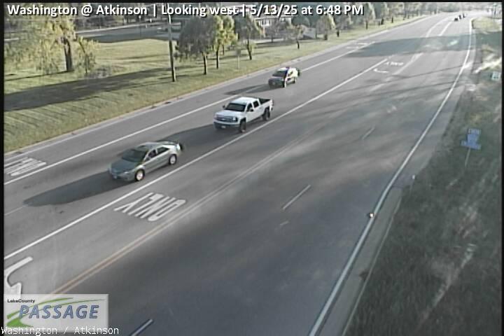 WorkingStill imageWashington at Atkinson, looking west
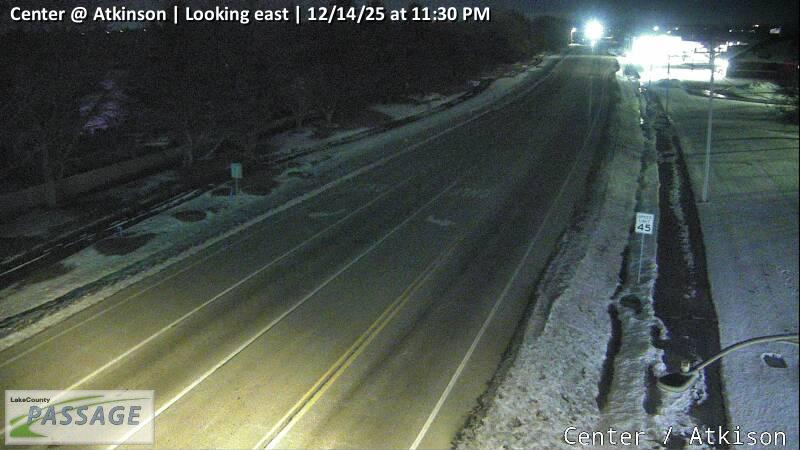 WorkingStill imageCenter at Atkinson, looking east
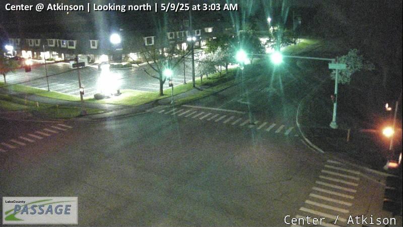 WorkingStill imageCenter at Atkinson, looking north
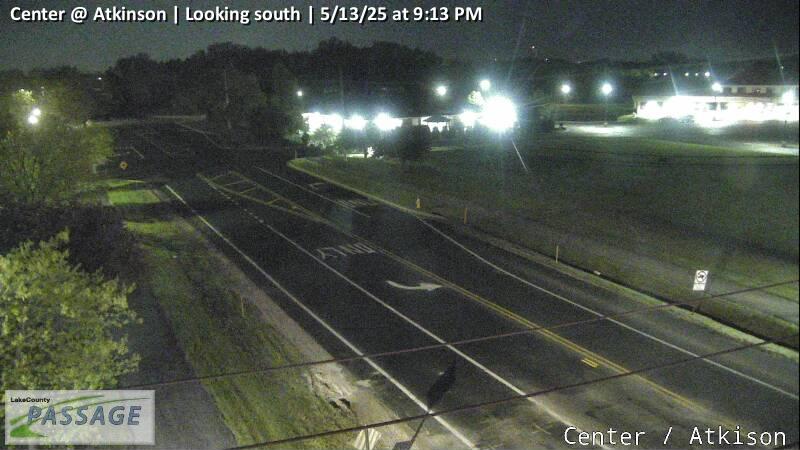 WorkingStill imageCenter at Atkinson, looking south
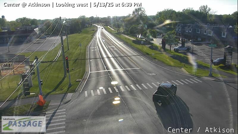 WorkingStill imageCenter at Atkinson, looking west
_cctv_East_Leg.jpg) WorkingStill imageIL 120 at IL 60 (Wireless), looking east
WorkingStill imageIL 120 at IL 60 (Wireless), looking east_cctv_South_Leg.jpg) WorkingStill imageIL 120 at IL 60 (Wireless), looking south
WorkingStill imageIL 120 at IL 60 (Wireless), looking south_cctv_West_Leg.jpg) WorkingStill imageIL 120 at IL 60 (Wireless), looking west
WorkingStill imageIL 120 at IL 60 (Wireless), looking west WorkingStill imageIL 60 at Peterson, looking north
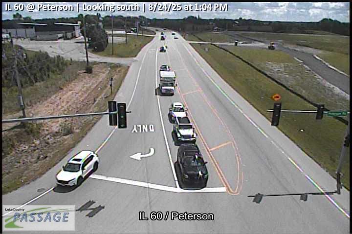 WorkingStill imageIL 60 at Peterson, looking south
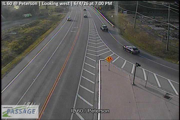 WorkingStill imageIL 60 at Peterson, looking west
_cctv_East_Leg.jpg) WorkingStill imageIL 59 at Wilson (Cell), looking east
WorkingStill imageIL 59 at Wilson (Cell), looking east_cctv_North_Leg.jpg) WorkingStill imageIL 59 at Wilson (Cell), looking north
WorkingStill imageIL 59 at Wilson (Cell), looking north_cctv_South_Leg.jpg) WorkingStill imageIL 59 at Wilson (Cell), looking south
WorkingStill imageIL 59 at Wilson (Cell), looking south_cctv_West_Leg.jpg) WorkingStill imageIL 59 at Wilson (Cell), looking west
WorkingStill imageIL 59 at Wilson (Cell), looking west WorkingStill imageIL 120 at Atkinson, looking east
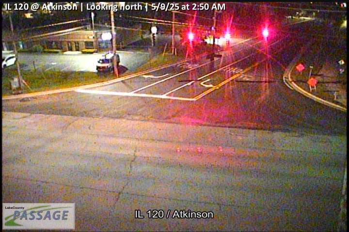 WorkingStill imageIL 120 at Atkinson, looking north
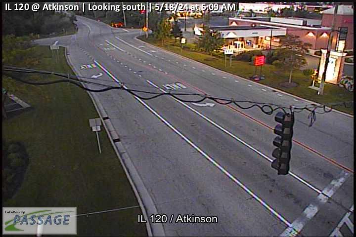 WorkingStill imageIL 120 at Atkinson, looking south
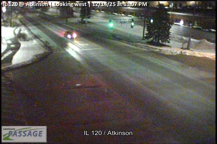 WorkingStill imageIL 120 at Atkinson, looking west
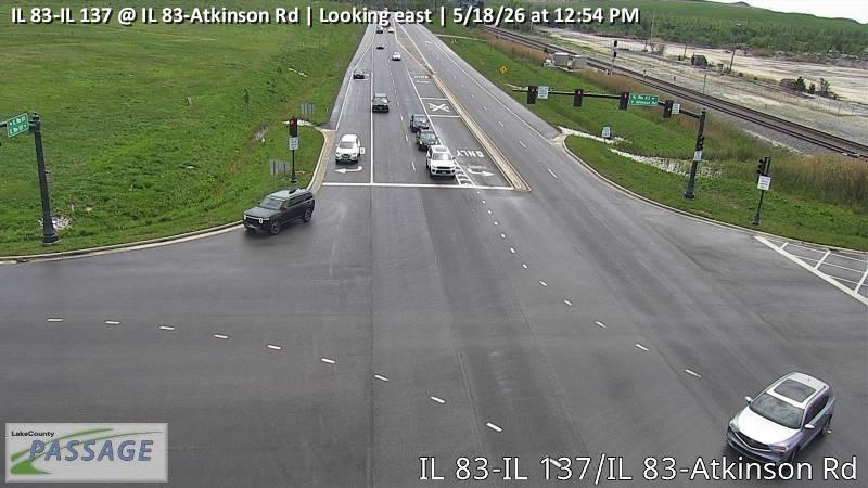 WorkingStill imageIL 83-IL 137 at IL 83-Atkinson Rd, looking east
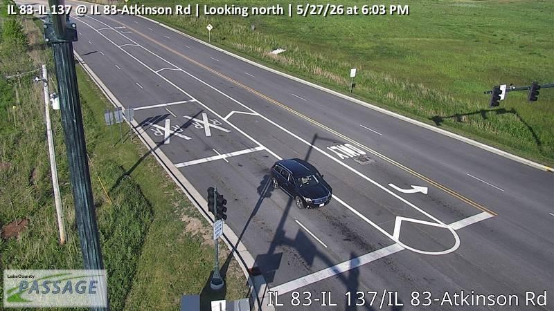 WorkingStill imageIL 83-IL 137 at IL 83-Atkinson Rd, looking north
 WorkingStill imageIL 83-IL 137 at IL 83-Atkinson Rd, looking west
_cctv_East_Leg.jpg) WorkingStill imageIL 59 at Monaville (Cell), looking east
WorkingStill imageIL 59 at Monaville (Cell), looking east_cctv_North_Leg.jpg) WorkingStill imageIL 59 at Monaville (Cell), looking north
WorkingStill imageIL 59 at Monaville (Cell), looking north_cctv_South_Leg.jpg) WorkingStill imageIL 59 at Monaville (Cell), looking south
WorkingStill imageIL 59 at Monaville (Cell), looking south_cctv_West_Leg.jpg) WorkingStill imageIL 59 at Monaville (Cell), looking west
WorkingStill imageIL 59 at Monaville (Cell), looking west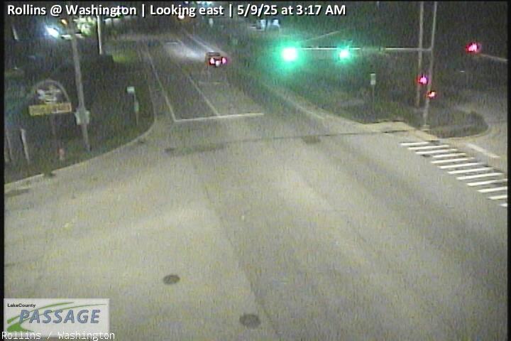 WorkingStill imageRollins at Washington, looking east
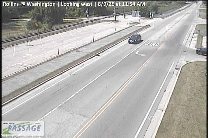 WorkingStill imageRollins at Washington, looking west
_cctv_East_Leg.jpg) WorkingStill imageAlleghany at Peterson (NW), looking east
WorkingStill imageAlleghany at Peterson (NW), looking east_cctv_North_Leg.jpg) WorkingStill imageAlleghany at Peterson (NW), looking north
WorkingStill imageAlleghany at Peterson (NW), looking north_cctv_West_Leg.jpg) WorkingStill imageAlleghany at Peterson (NW), looking west
WorkingStill imageAlleghany at Peterson (NW), looking west_cctv_East_Leg.jpg) WorkingStill imageAlleghany at Peterson (SW), looking east
WorkingStill imageAlleghany at Peterson (SW), looking east_cctv_North_Leg.jpg) WorkingStill imageAlleghany at Peterson (SW), looking north
WorkingStill imageAlleghany at Peterson (SW), looking north_cctv_West_Leg.jpg) WorkingStill imageAlleghany at Peterson (SW), looking west
WorkingStill imageAlleghany at Peterson (SW), looking west_cctv_East_Leg.jpg) WorkingStill imageGilmer at Liberty Lakes (Wireless), looking east
WorkingStill imageGilmer at Liberty Lakes (Wireless), looking east_cctv_West_Leg.jpg) WorkingStill imageGilmer at Liberty Lakes (Wireless), looking west
WorkingStill imageGilmer at Liberty Lakes (Wireless), looking west_cctv_East_Leg.jpg) WorkingStill imageUS 12 at Molidor (Cell), looking east
WorkingStill imageUS 12 at Molidor (Cell), looking east_cctv_North_Leg.jpg) WorkingStill imageUS 12 at Molidor (Cell), looking north
WorkingStill imageUS 12 at Molidor (Cell), looking north_cctv_South_Leg.jpg) WorkingStill imageUS 12 at Molidor (Cell), looking south
WorkingStill imageUS 12 at Molidor (Cell), looking south_cctv_West_Leg.jpg) WorkingStill imageUS 12 at Molidor (Cell), looking west
WorkingStill imageUS 12 at Molidor (Cell), looking west_cctv_East_Leg.jpg) WorkingStill imageUS 12 at Hartigan (Cell), looking east
WorkingStill imageUS 12 at Hartigan (Cell), looking eastNo live video among these cameras. Turn off "Live video only" to see them all.
Best cams to watch
- Hainesville at Washington, looking east — Still image · every 10 min, working 100 % of the time in the last 30 days.
- Rollins at Civic Center Way, looking east — Still image · every 10 min, working 100 % of the time in the last 30 days.
- IL 83 at Lake, looking north — Still image · every 10 min, working 100 % of the time in the last 30 days.
The village of Round Lake owes its existence to the railroad. In the 1890s landowner Amarias M. White offered the Chicago, Milwaukee and St. Paul Railroad free land for a station, and the Milwaukee Road arrived. Soon after, around 1901, the Armour Company began cutting ice from the lake to cool its refrigerator cars, storing enormous blocks for shipment through the warm months. After a fire destroyed the icehouse in 1917, Armour turned the leftover buildings into retreats for its employees, which helped draw new residents. The village incorporated in 1909 with White as its first president.
Growth came much later. Between 2000 and 2010 the population roughly tripled as subdivisions spread across former farmland, and the 2020 census counted about 18,700 people. The Metra station on the Milwaukee District North Line at Route 134 and Cedar Lake Road still links the village to Chicago Union Station, about 44 miles away.
The camera picture
Round Lake’s 96 cameras on LiveLocation are traffic cameras published through the Illinois Department of Transportation’s Gateway traveler information system. They show the state highways serving the village, including Illinois Routes 120, 134 and 60, along with nearby junctions on the way to Grayslake, Mundelein and the lakes to the north. Expect road surfaces, signals and traffic flow rather than lake views. Each picture refreshes after a short interval, and many are snapshots.
Local time is Central. Daylight runs until about 8:30 p.m. around the summer solstice and fades near 4:30 p.m. in December, so short winter afternoons leave only a small window for clear views. Freezing rain and heavy snow can make the commute slow, and the cameras are a quick way to see whether roads have been cleared. On summer weekends, traffic toward the lakes and campgrounds of northwestern Lake County picks up.
Round Lake Beach shares the same lake to the north, and Round Lake Park and Grayslake lie to the east. Their cameras show up further down this page, handy for checking several routes before setting out.
Sources: Round Lake, Illinois - Wikipedia · Round Lake station - Wikipedia.
Nearby places
- Waukegan (620)
- Wheaton (617)
- North Peoria (554)
- Peoria (553)
- Naperville (475)
- Gurnee (386)
- Palatine (354)
- Grayslake (346)
Questions about Round Lake
How many cameras does LiveLocation have in Round Lake?
LiveLocation lists 200 cameras in and around Round Lake, United States: 0 live video, 200 still images. 200 of them were live or showing a fresh image at the last check.
Who runs the cameras in Round Lake?
All of them come from Illinois DOT (200). Each camera plays straight from the agency or owner that runs it, with credit. Illinois DOT
What can I see on the Round Lake cameras?
All of them show traffic and highway (200). Good ones to start with: Hainesville at Washington, looking east and Rollins at Civic Center Way, looking east. Hainesville at Washington, looking east Rollins at Civic Center Way, looking east
Can I watch live video from Round Lake?
Not yet: the cameras here send still images that refresh about every 10 minutes. The map can show only live-video cameras nearby. Live video on the map
What time is it in Round Lake, and when is it light?
Round Lake is on America/Chicago time. On October 7 the sun rises at 6:56 AM and sets at 6:23 PM, so still images are clearest between those times. Road cameras show the most traffic in the weekday morning and evening rush hours.
Which places near Round Lake also have cameras?
The nearest are Round Lake Beach (1.3 mi away, 344 cameras), Grayslake (2.7 mi away, 346 cameras) and Mundelein (7.7 mi away, 271 cameras). Round Lake Beach Grayslake Mundelein
How can I see the Round Lake cameras on a map?
The map at the top of this page shows all 200 of them. The live camera radar centers on Round Lake and lists every camera within 5 to 250 miles, nearest first, with filters for live video, traffic, nature and more. Open the radar on Round Lake
Place names and locations: GeoNames, licensed under CC BY 4.0.