Live cameras in Marion, United States
46 cameras: 0 live video, 46 still images · 4 working now · updated Oct 8, 03:36 UTC
Marion has 46 live cameras on LiveLocation right now: 0 live video, 46 still images. Good places to start: US 151 at MM 36.7 (Linn Aire Dr), Cedar Rapids, IA 100 at MM 9.8 (Council St), Cedar Rapids, I-380 at MM 23.9 (Collins Rd - N), Cedar Rapids. Local time is 10:36 PM (America/Chicago). Today the sun rises at 7:10 AM and sets at 6:38 PM.
Marion live cameras
Watch Marion live webcams: 0 live video, 46 still images. 4 were working at the last check. Marion is home to about 37,000 people.
Weather now in Marion: 57 °F (14 °C), mostly clear, wind 4 mph (7 km/h) from the west. Forecast for 11 PM local time. Weather: MET Norway (CC BY 4.0)
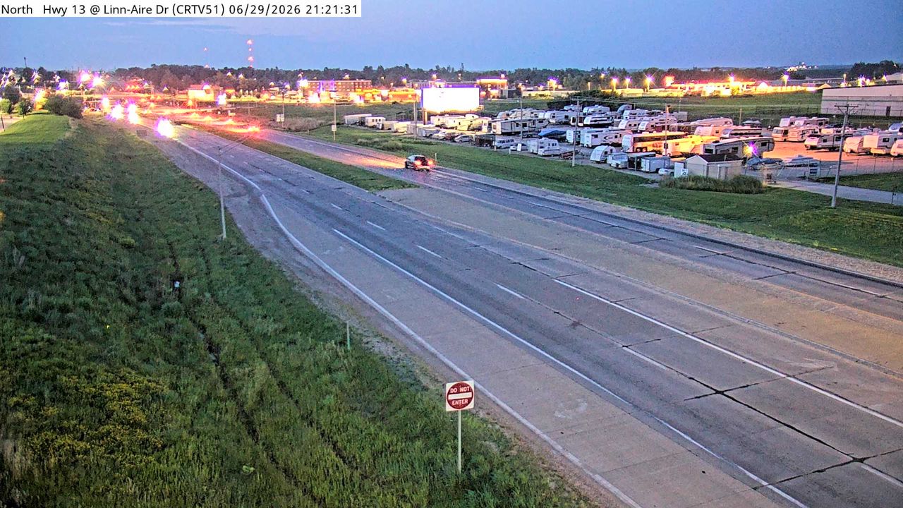 WorkingStill imageUS 151 at MM 36.7 (Linn Aire Dr), Cedar Rapids
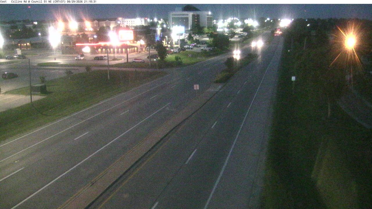 WorkingStill imageIA 100 at MM 9.8 (Council St), Cedar Rapids
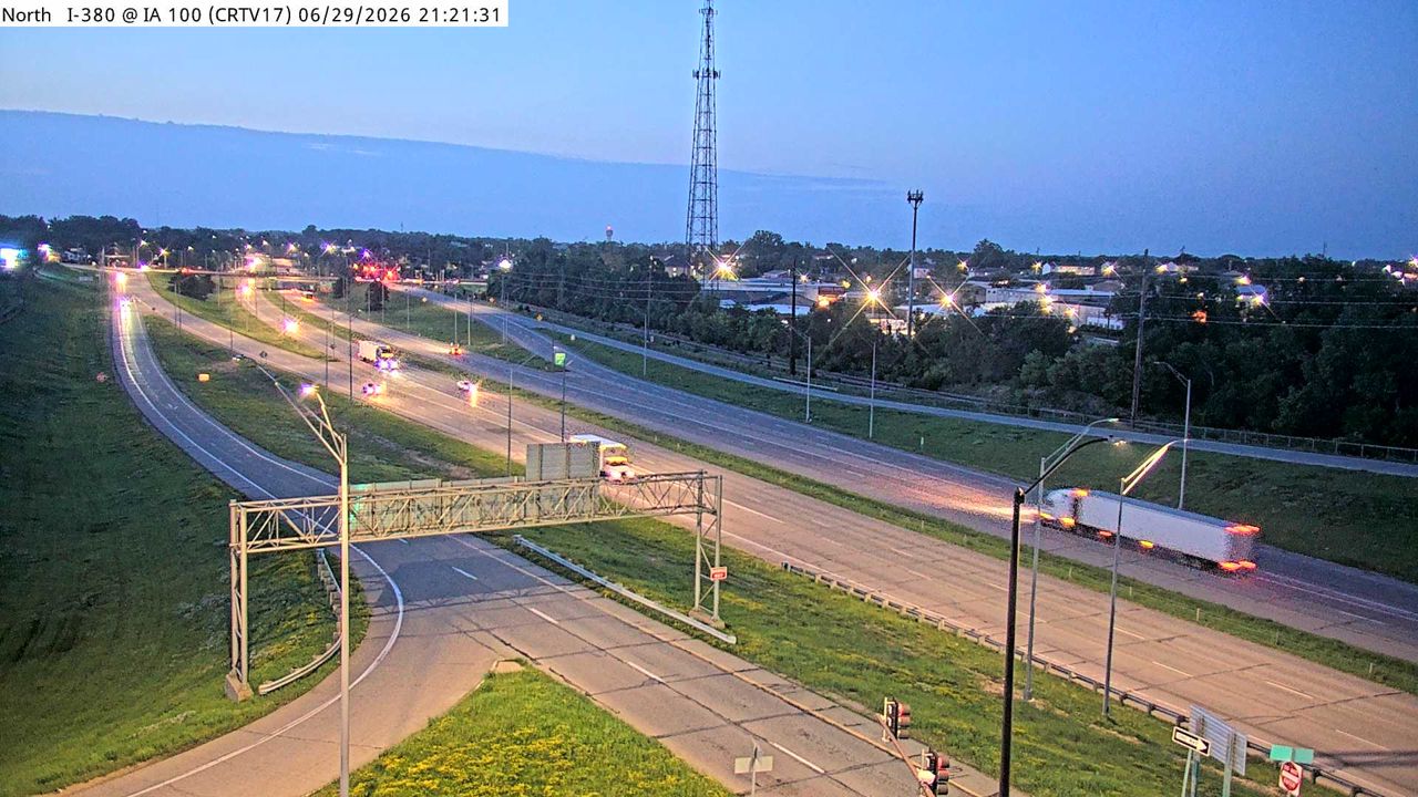 WorkingStill imageI-380 at MM 23.9 (Collins Rd - N), Cedar Rapids
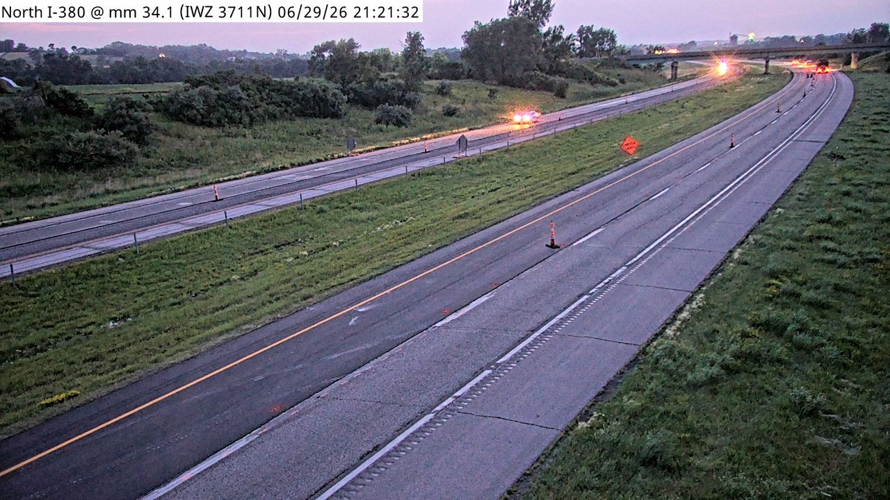 WorkingStill imageI-380 at MM 34.1 (IWZ 3711N)
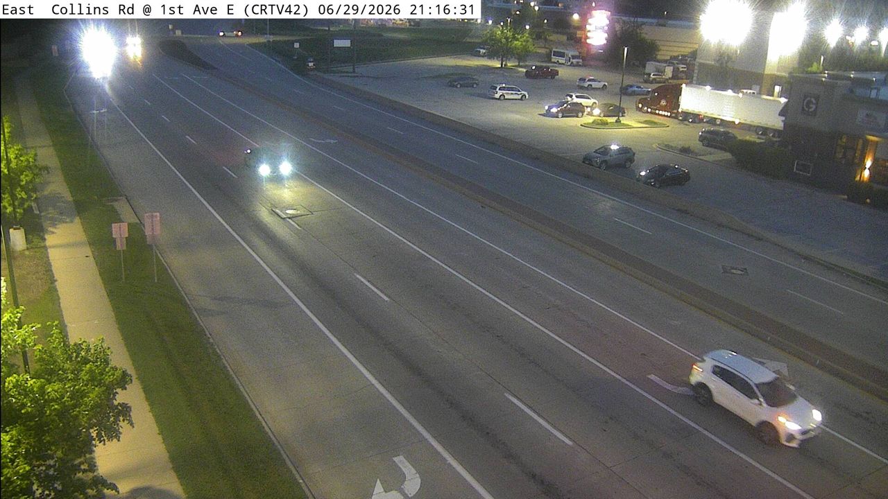 Not checked yetStill imageIA 100 at MM 11.7 (Bus 151), Cedar Rapids
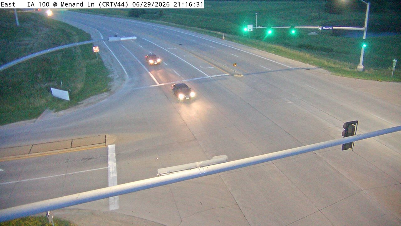 Not checked yetStill imageIA 100 at MM 13.1 (Menards Ln), Cedar Rapids
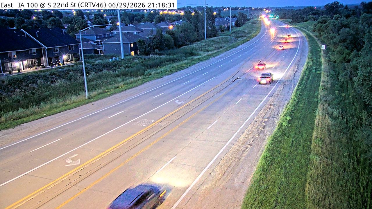 Not checked yetStill imageIA 100 at MM 14.1 (S 22nd St), Cedar Rapids
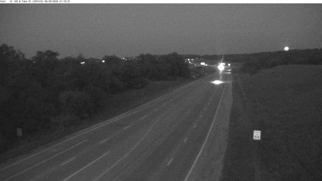 Not checked yetStill imageIA 100 at MM 12.5 (Tama St), Cedar Rapids
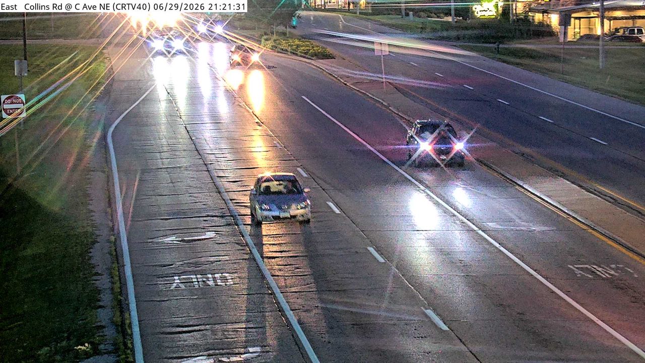 Not checked yetStill imageIA 100 at MM 10.8 (Co Rd W56), Cedar Rapids
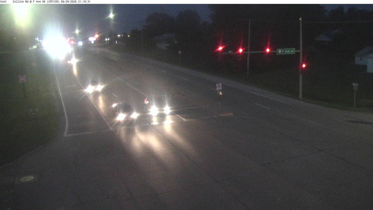 Not checked yetStill imageIA 100 at MM 10.5 (F Ave), Cedar Rapids
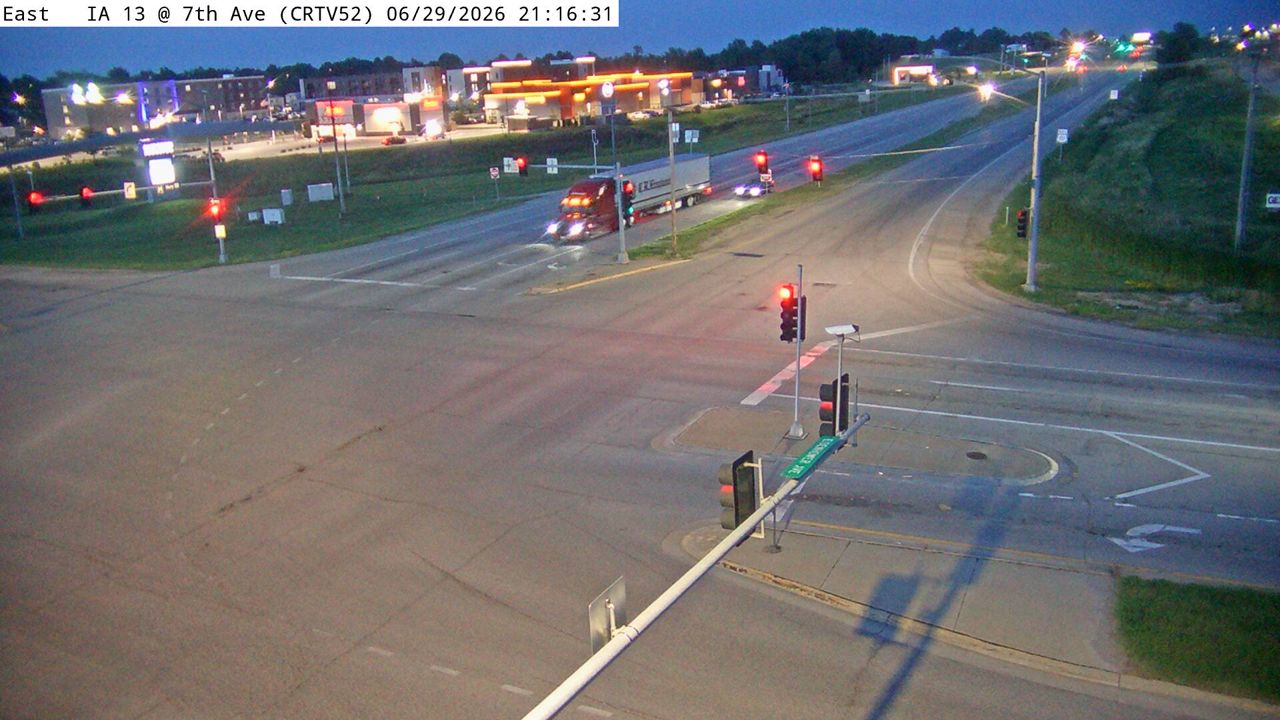 Not checked yetStill imageUS 151 at MM 37.8 (7th Ave), Cedar Rapids
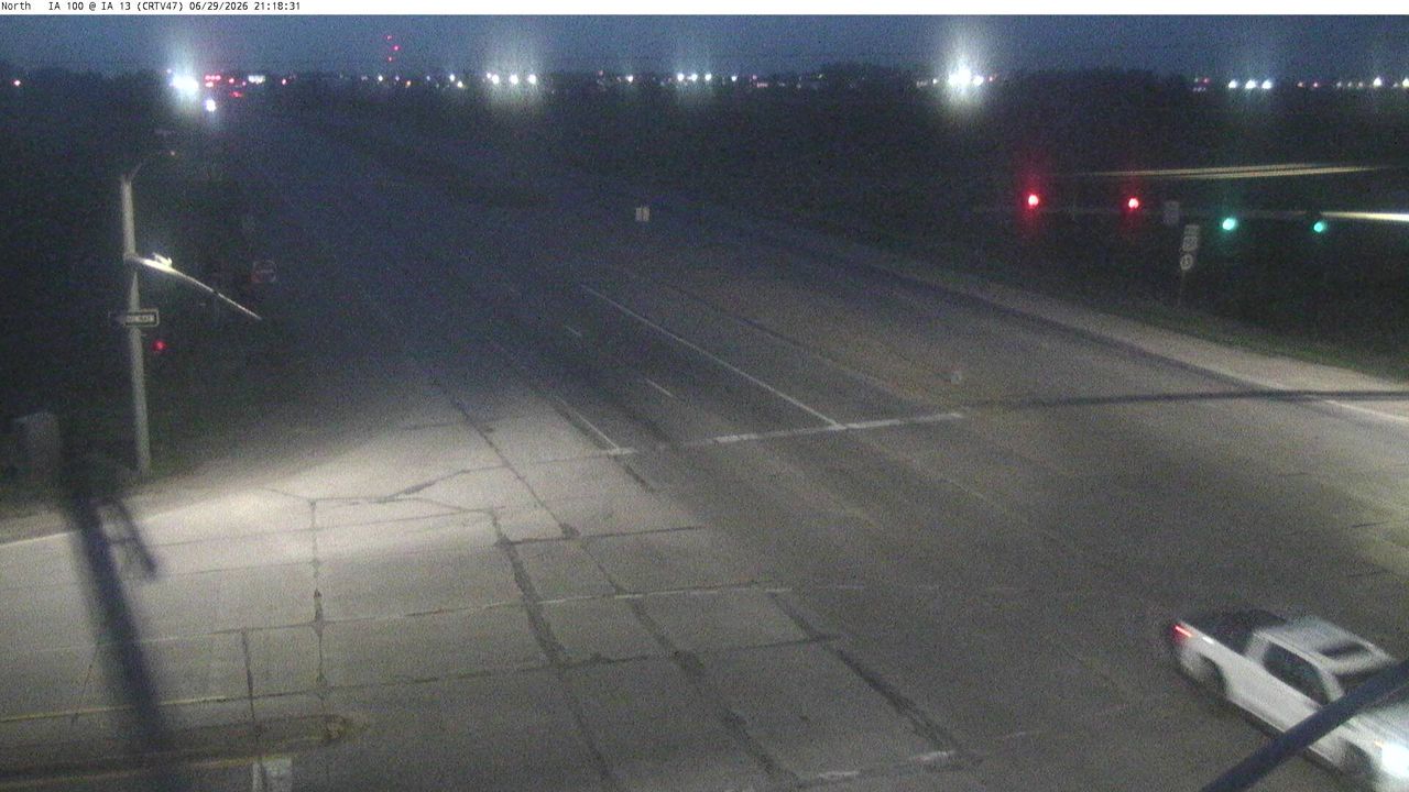 Not checked yetStill imageIA 100 at MM 16.1 (IA 13), Cedar Rapids
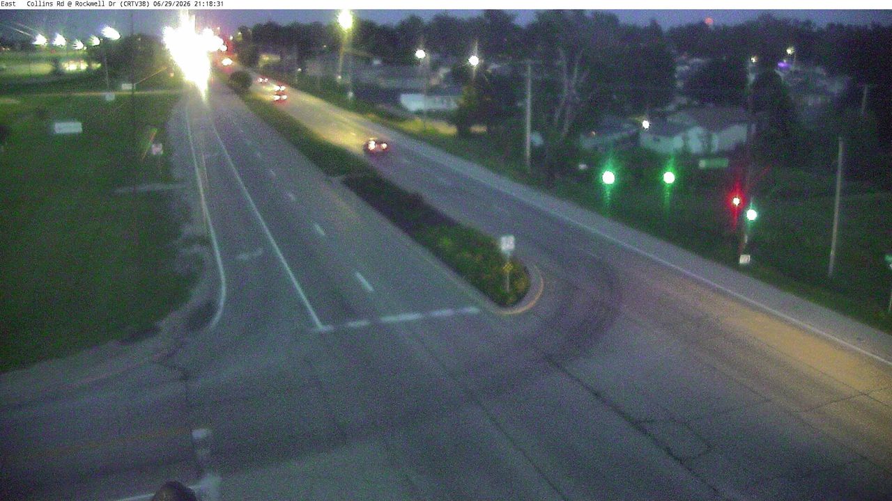 Not checked yetStill imageIA 100 at MM 10.1 (Rockwell Dr), Cedar Rapids
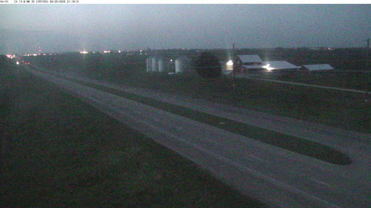 Not checked yetStill imageUS 151 at MM 35 (Cottage Grove Pkwy), Cedar Rapids
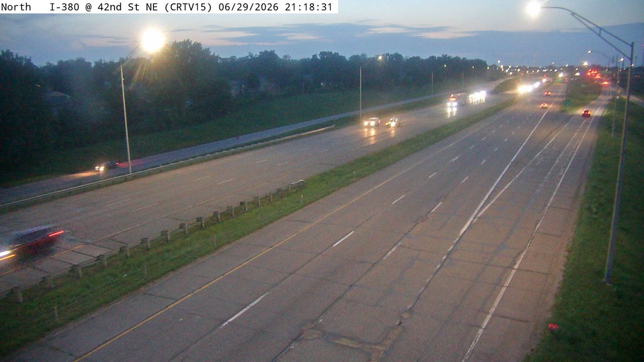 Not checked yetStill imageI-380 at MM 23.4 (42nd St NE), Cedar Rapids
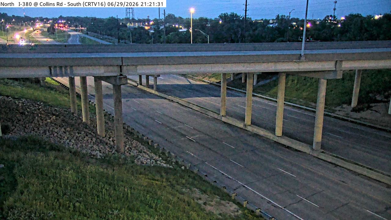 Not checked yetStill imageI-380 at MM 23.9 (Collins Rd - S), Cedar Rapids
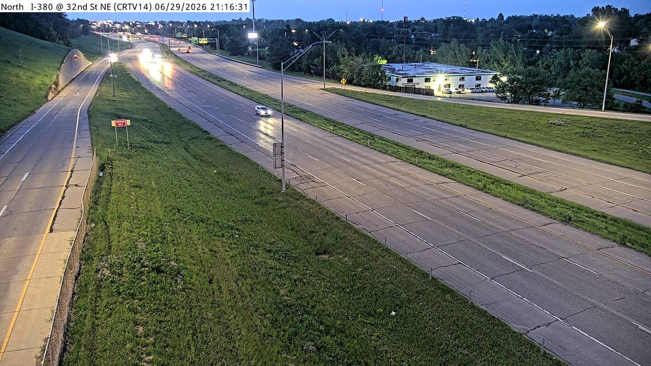 Not checked yetStill imageI-380 at MM 22.7 (32nd St NE), Cedar Rapids
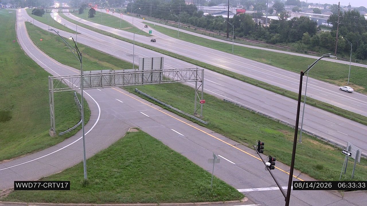 Not checked yetStill imageIA 100 at MM 9 (I-380)
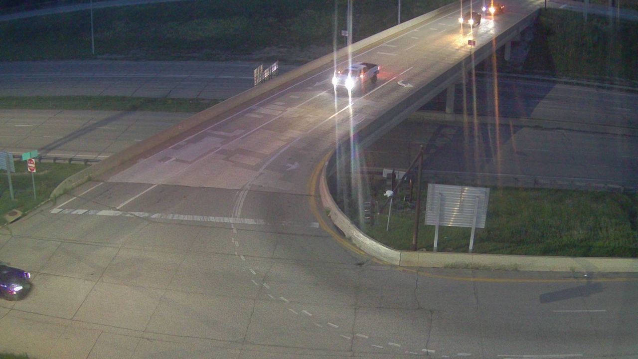 Not checked yetStill imageI-380 at MM 23.9 (Collins Rd - N)-Q, Cedar Rapids
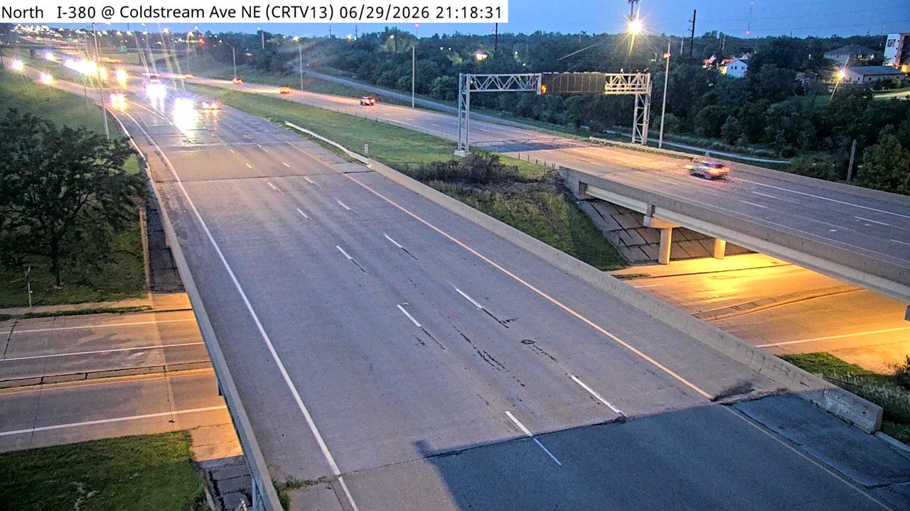 Not checked yetStill imageI-380 at MM 22.3 (Coldstream Ave NE), Cedar Rapids
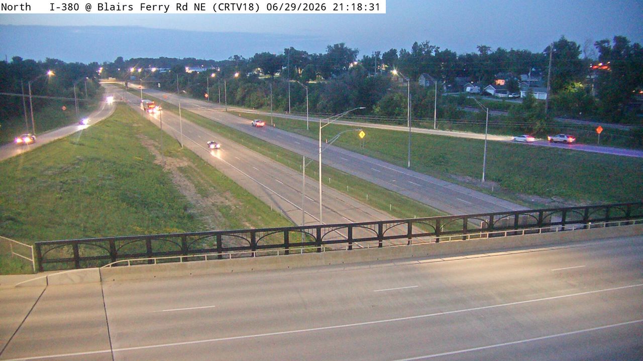 Not checked yetStill imageI-380 at MM 24.4 (Blairs Ferry Rd NE), Cedar Rapids
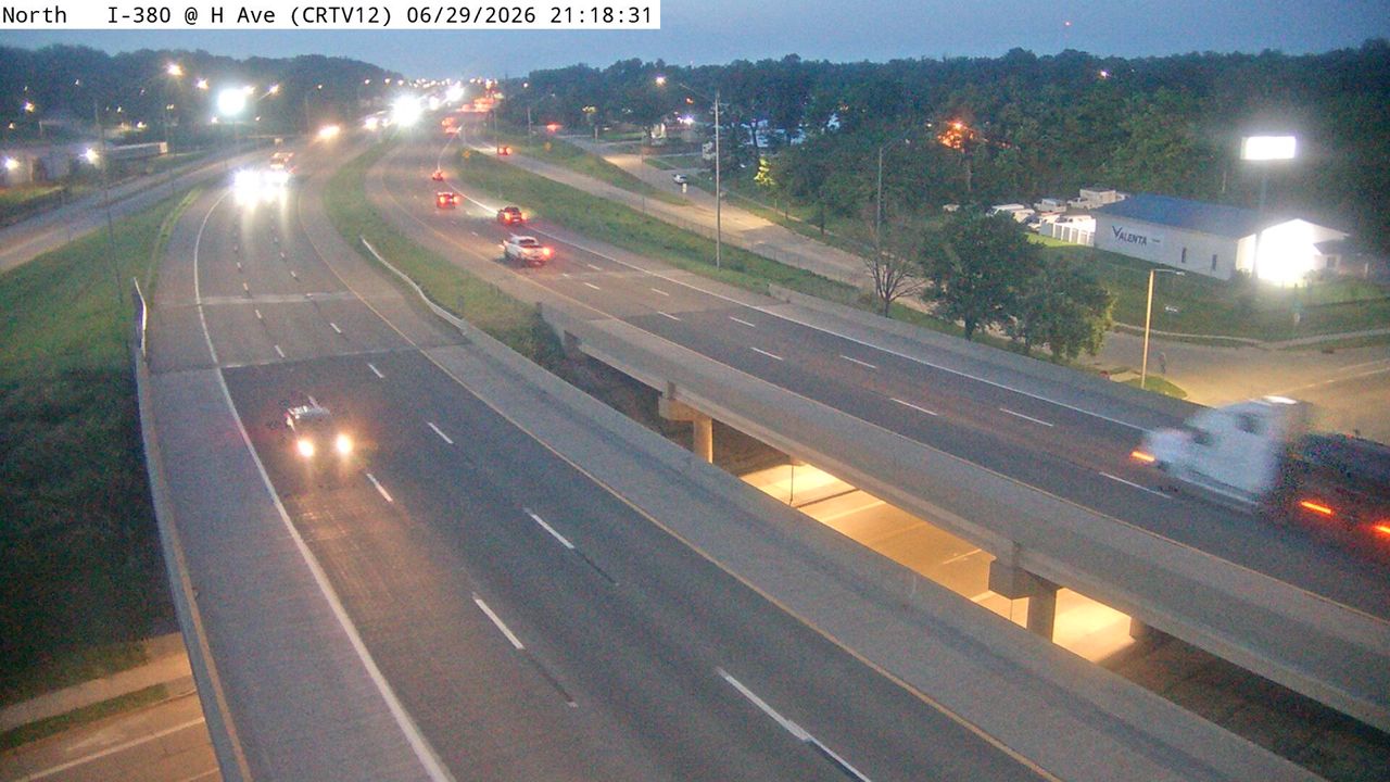 Not checked yetStill imageI-380 at MM 21.6 (H Ave NE), Cedar Rapids
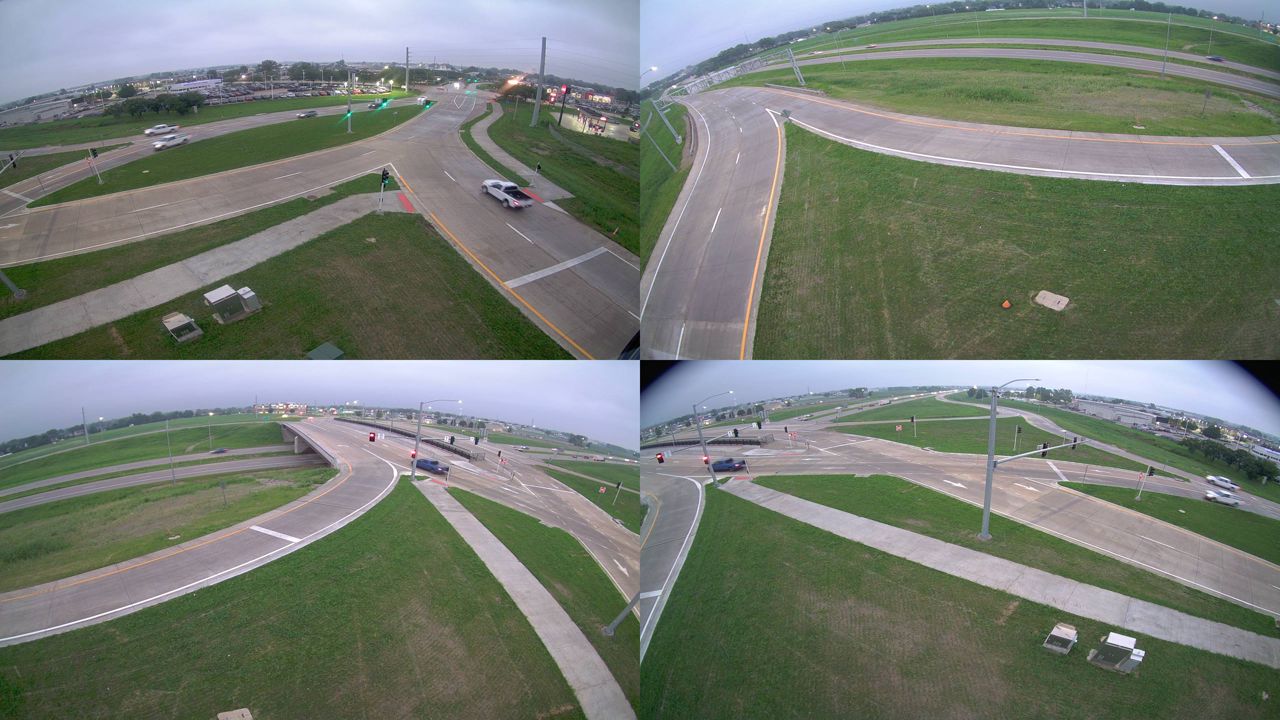 Not checked yetStill imageI-380 at MM 25.3 (Boyson Rd)-Q, Cedar Rapids
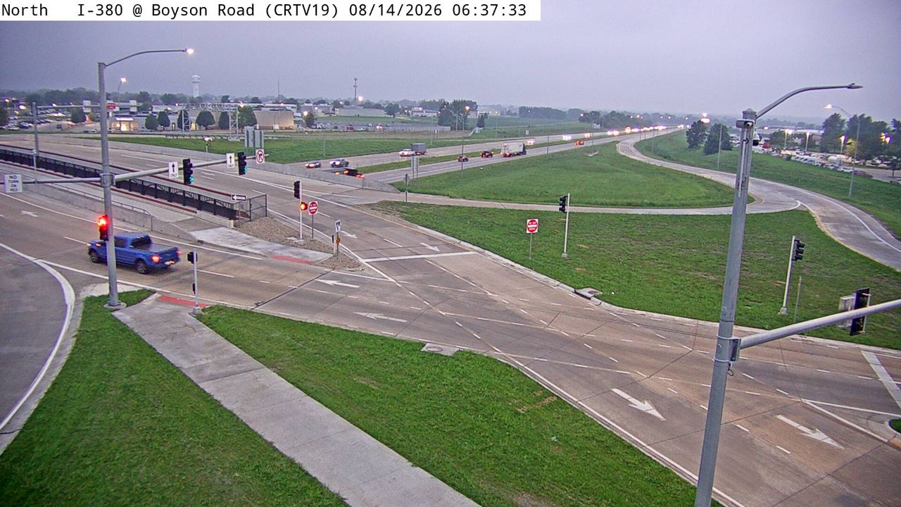 Not checked yetStill imageI-380 at MM 25.3 (Boyson Rd), Cedar Rapids
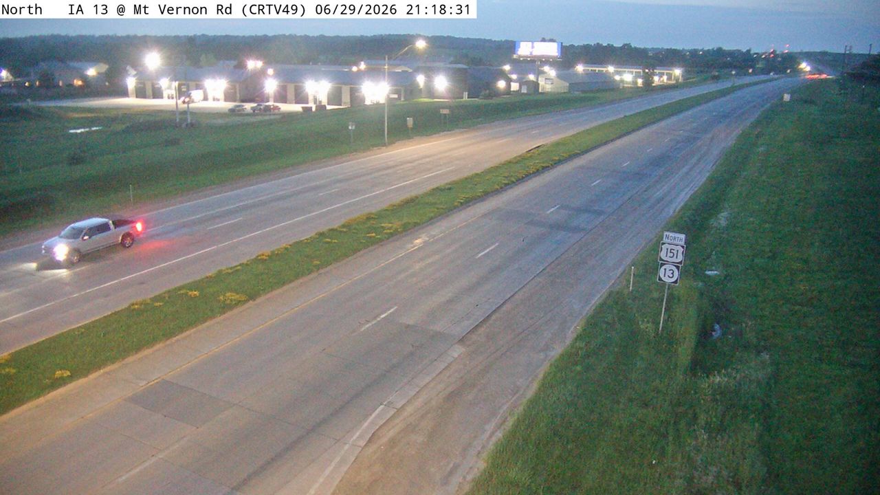 Not checked yetStill imageUS 151 at MM 33.7 (Mt Vernon Rd), Cedar Rapids
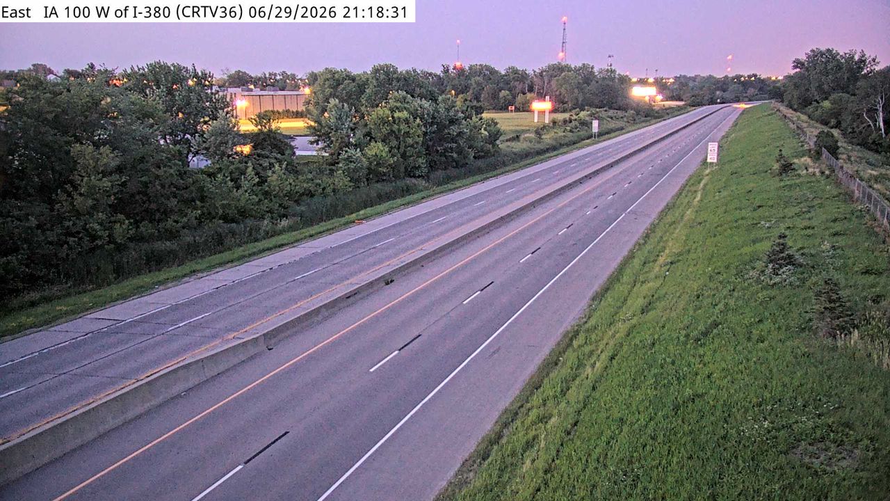 Not checked yetStill imageIA 100 at MM 8.6 (W of I-380), Cedar Rapids
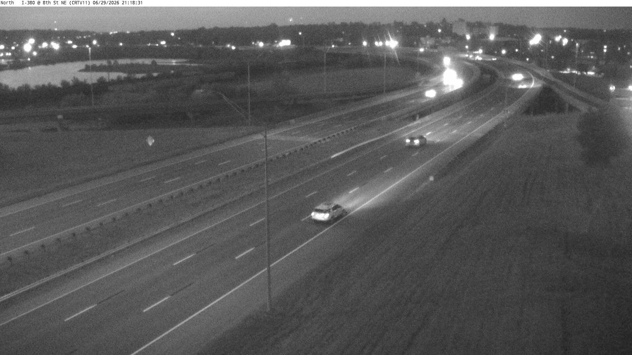 Not checked yetStill imageI-380 at MM 20.6 (8th St NE), Cedar Rapids
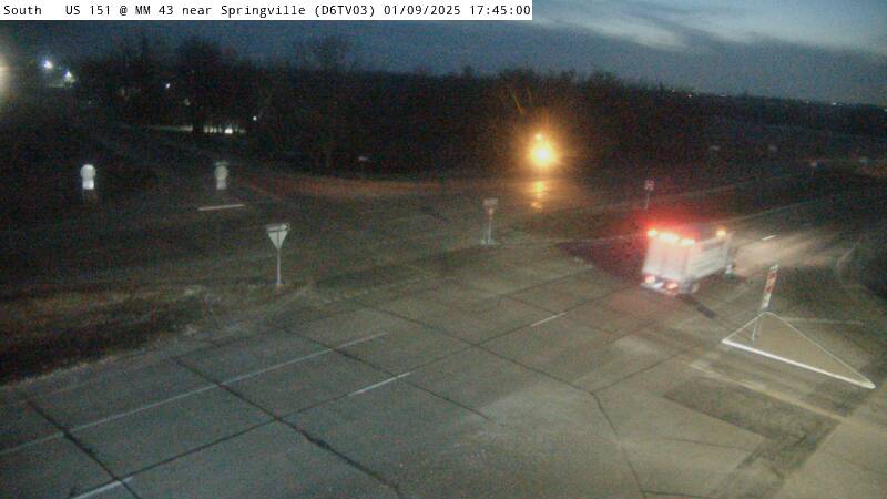 Not checked yetStill imageUS 151 at MM 43.5 near Springville W ICWS (03)
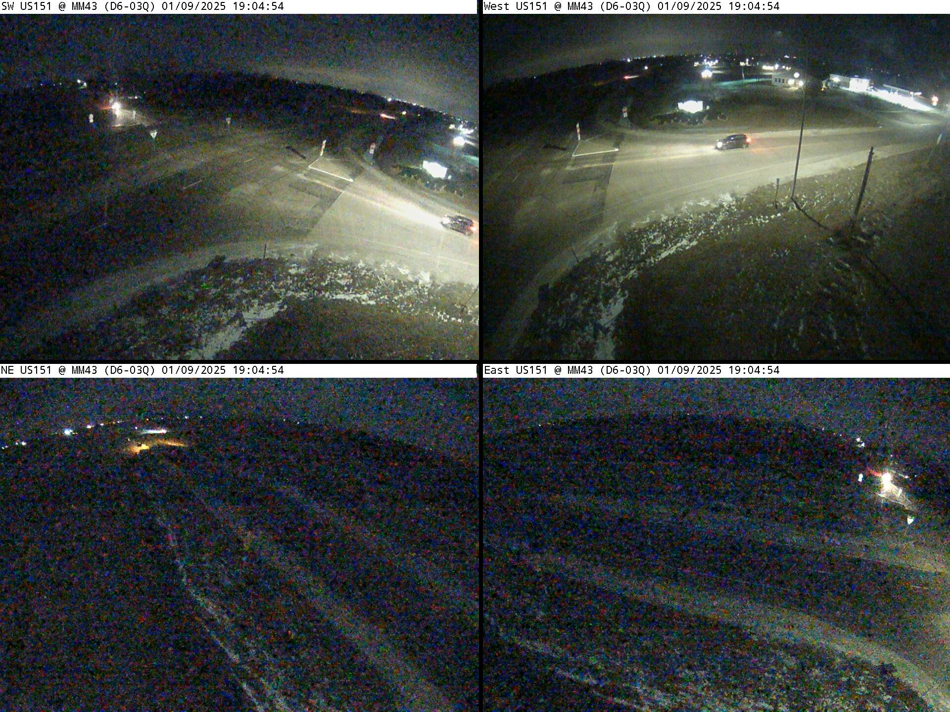 Not checked yetStill imageUS 151 at MM 43.5 near Springville W ICWS QUAD (03Q)
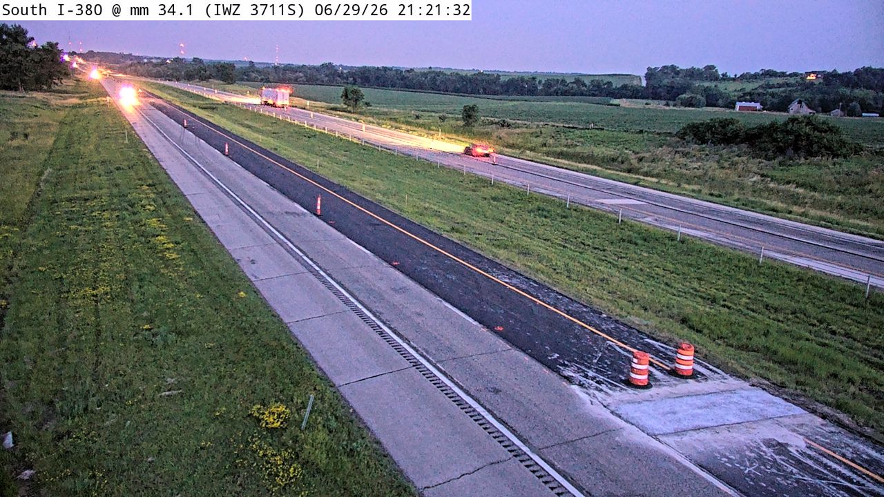 Not checked yetStill imageI-380 at MM 34.1 (IWZ 3711S)
 Not checked yetStill imageUS 30 W MM 266 at Mount Vernon
 Not checked yetStill imageUS 30 W MM 266 at Mount Vernon
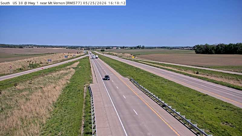 Not checked yetStill imageUS 30 W MM 266 at Mount Vernon, view 2
 Not checked yetStill imageUS 30 W MM 266 at Mount Vernon, view 3
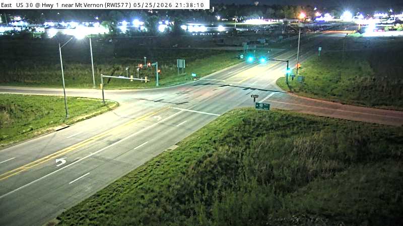 Not checked yetStill imageUS 30 W MM 266 at Mount Vernon, view 4
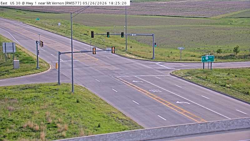 Not checked yetStill imageUS 30 W MM 266 at Mount Vernon, view 5
 Not checked yetStill imageUS 30 W MM 266 at Mount Vernon, view 6
 Not checked yetStill imageUS 151 MM 49 at Anamosa
 Not checked yetStill imageUS 151 MM 49 at Anamosa
 Not checked yetStill imageUS 151 MM 49 at Anamosa, view 2
 Not checked yetStill imageUS 151 MM 49 at Anamosa, view 3
 Not checked yetStill imageUS 151 MM 49 at Anamosa, view 4
 Not checked yetStill imageUS 151 MM 49 at Anamosa, view 5
 Not checked yetStill imageUS 151 MM 49 at Anamosa, view 6
 Not checked yetStill imageUS 151 MM 49 at Anamosa, view 7
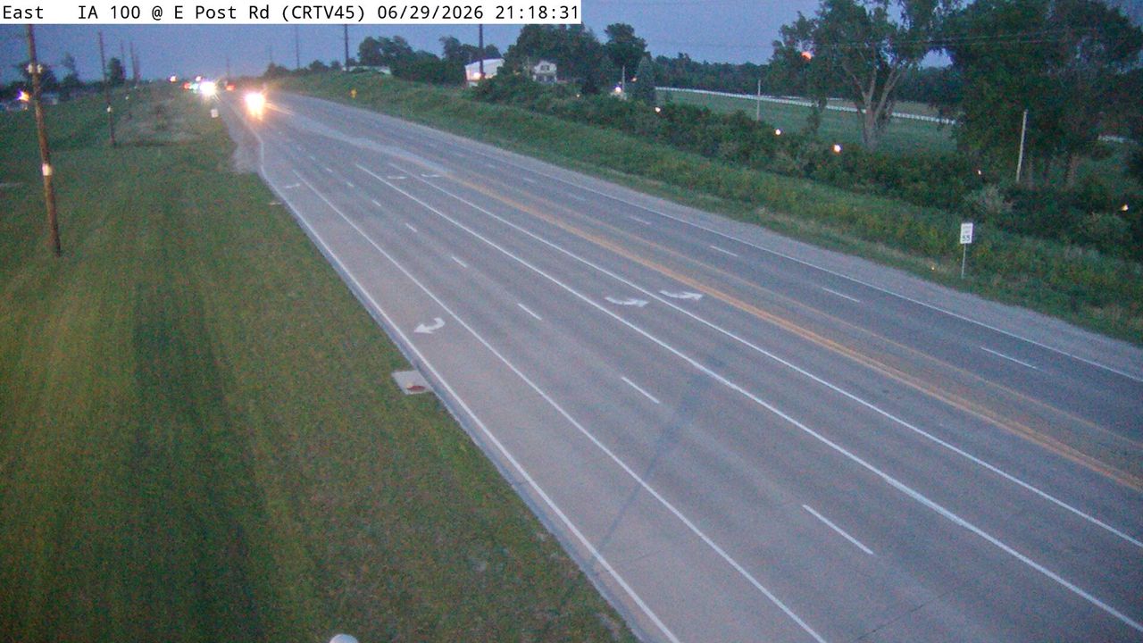 IntermittentStill imageIA 100 at MM 13.6 (East Post Rd), Cedar Rapids
No live video among these cameras. Turn off "Live video only" to see them all.
Best cams to watch
- US 151 at MM 36.7 (Linn Aire Dr), Cedar Rapids — Still image · every 5 min, working 100 % of the time in the last 30 days.
- IA 100 at MM 9.8 (Council St), Cedar Rapids — Still image · every 5 min, working 100 % of the time in the last 30 days.
- I-380 at MM 23.9 (Collins Rd - N), Cedar Rapids — Still image · every 5 min, working 100 % of the time in the last 30 days.
Marion is a city in Linn County, Iowa, directly northeast of Cedar Rapids and part of the Cedar Rapids metropolitan area. It was named for Francis Marion, the Revolutionary War officer known as the Swamp Fox, and it served as the first seat of Linn County from 1839 until voters moved the courthouse to Cedar Rapids after a 1919 election. Marion has grown quickly in recent decades: the 2020 census counted about 41,500 residents, more than half again its population at the turn of the century, making it one of the fastest-growing cities in the state.
The city honors its namesake each year with the Swamp Fox Festival, a community celebration with a parade, food and music, and it also hosts an arts festival. The uptown district around City Square Park keeps a small-town feel, with shops and restaurants along Seventh Avenue, the main road toward Cedar Rapids. On August 10, 2020, a powerful derecho swept across the area and destroyed a large share of the city's trees.
Iowa DOT views around the metro
Marion's feeds are supplied by the Iowa Department of Transportation. Some are regular traffic cameras and some are part of road-weather stations, which add sensors for pavement temperature, wind and precipitation and are useful on icy winter mornings. U.S. Route 151 and Iowa Highway 13 are the main state routes through Marion, and the cameras on this page follow the highways on this side of the metro area. None of them is a video stream; Iowa DOT replaces the snapshot every few minutes.
Marion is on Central Time and keeps daylight saving time from March to early November. Summers are warm and humid, with thunderstorms common in June and July, while winters bring cold snaps, snow and blowing snow on open roads. June twilight lasts until about nine, but in December the sun sets around half past four.
Downtown Cedar Rapids, with the Czech and Slovak Museum and the Cedar River, is only a few miles southwest. To the southeast, Palisades-Kepler State Park offers bluffs and trails along the river.
Sources: Marion, Iowa - Wikipedia · Iowa 511.
Nearby places
- Waukegan (620)
- Wheaton (617)
- North Peoria (554)
- Peoria (553)
- Naperville (475)
- Gurnee (386)
- Palatine (354)
- Grayslake (346)
Questions about Marion
How many cameras does LiveLocation have in Marion?
LiveLocation lists 46 cameras in and around Marion, United States: 0 live video, 46 still images. 4 of them were live or showing a fresh image at the last check.
Who runs the cameras in Marion?
All of them come from Iowa DOT (46). Each camera plays straight from the agency or owner that runs it, with credit. Iowa DOT
What can I see on the Marion cameras?
The views are traffic and highway (31) and pass and road weather (15). Good ones to start with: US 151 at MM 36.7 (Linn Aire Dr), Cedar Rapids and IA 100 at MM 9.8 (Council St), Cedar Rapids. US 151 at MM 36.7 (Linn Aire Dr), Cedar Rapids IA 100 at MM 9.8 (Council St), Cedar Rapids
Can I watch live video from Marion?
Not yet: the cameras here send still images that refresh about every 7 minutes. The map can show only live-video cameras nearby. Live video on the map
What time is it in Marion, and when is it light?
Marion is on America/Chicago time. On October 7 the sun rises at 7:10 AM and sets at 6:38 PM, so still images are clearest between those times. Road cameras show the most traffic in the weekday morning and evening rush hours.
Which places near Marion also have cameras?
The nearest are Cedar Rapids (3.0 mi away, 104 cameras), North Liberty (20 mi away, 52 cameras) and Coralville (25 mi away, 24 cameras). Cedar Rapids North Liberty Coralville
How can I see the Marion cameras on a map?
The map at the top of this page shows all 46 of them. The live camera radar centers on Marion and lists every camera within 5 to 250 miles, nearest first, with filters for live video, traffic, nature and more. Open the radar on Marion
Place names and locations: GeoNames, licensed under CC BY 4.0.