Live cameras in Ankeny, United States
80 cameras: 0 live video, 80 still images · 5 working now · updated Oct 8, 03:38 UTC
Ankeny has 80 live cameras on LiveLocation right now: 0 live video, 80 still images. Good places to start: I-35 at MM 87.5 (NE 54th Ave - East Mix), Des Moines, I-35/80 at MM 136.9, Des Moines, I-35 at MM 98.8 (NE 142nd Ave), Des Moines. Local time is 10:38 PM (America/Chicago). Today the sun rises at 7:18 AM and sets at 6:46 PM.
Ankeny live cameras
Ankeny live cameras, all in one place: 0 live video, 80 still images. 5 were working at the last check. Ankeny is home to about 57,000 people.
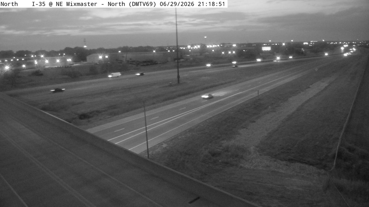 WorkingStill imageI-35 at MM 87.5 (NE 54th Ave - East Mix), Des Moines
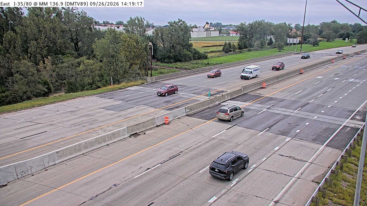 WorkingStill imageI-35/80 at MM 136.9, Des Moines
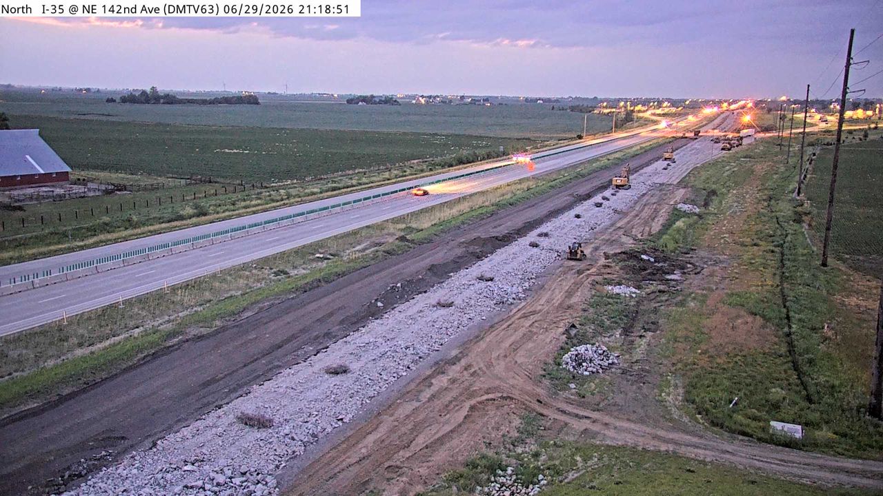 WorkingStill imageI-35 at MM 98.8 (NE 142nd Ave), Des Moines
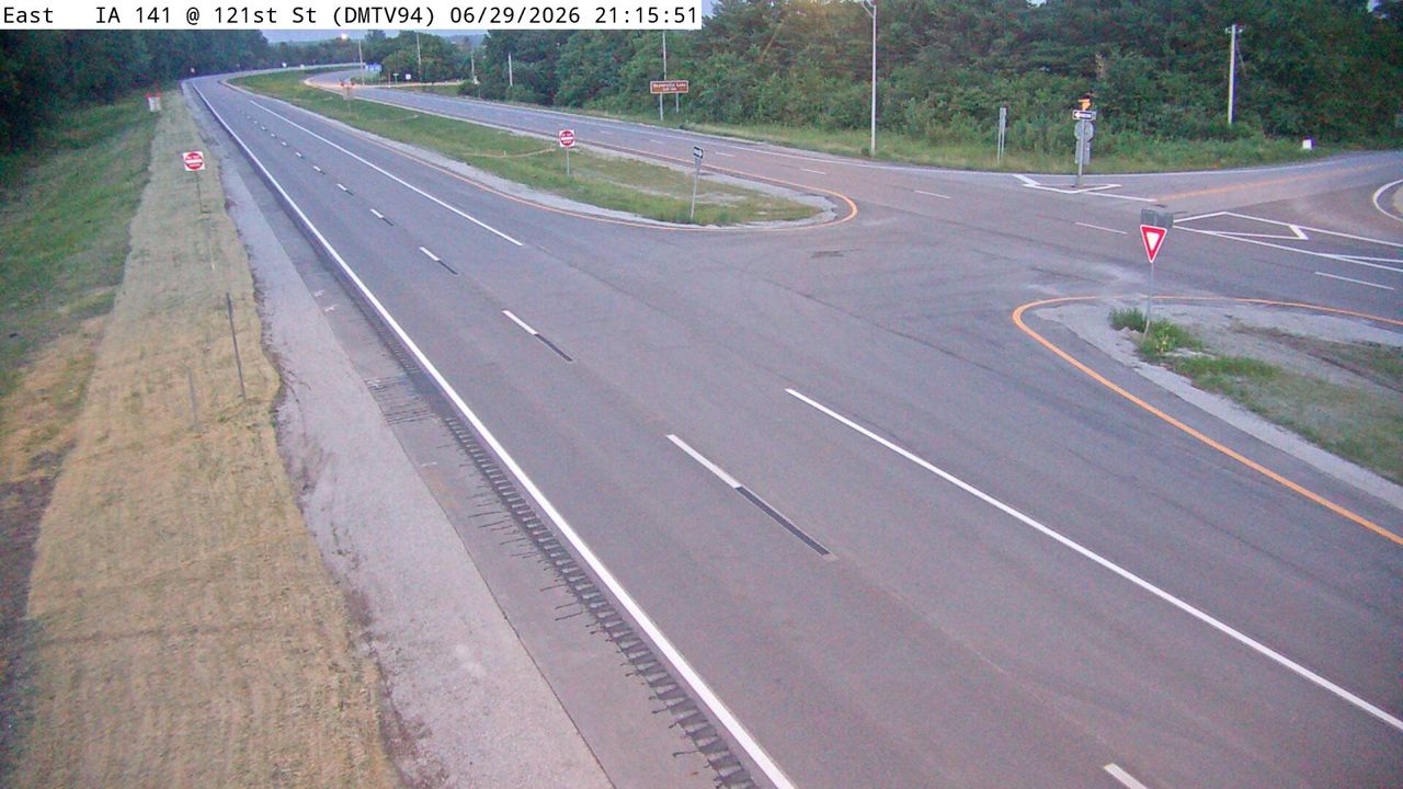 WorkingStill imageIA 141 at MM 148.4 (NW 121st St - ICWS), Des Moines
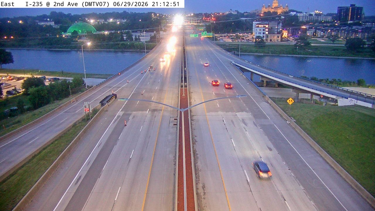 WorkingStill imageI-235 at MM 8.7 (2nd Ave), Des Moines
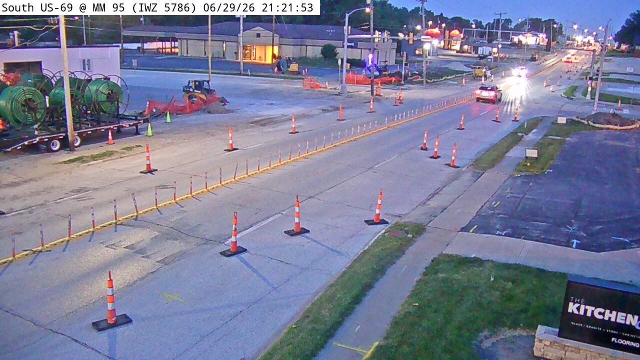 Not checked yetStill imageUS 69 at MM 95 (IWZ 5786)
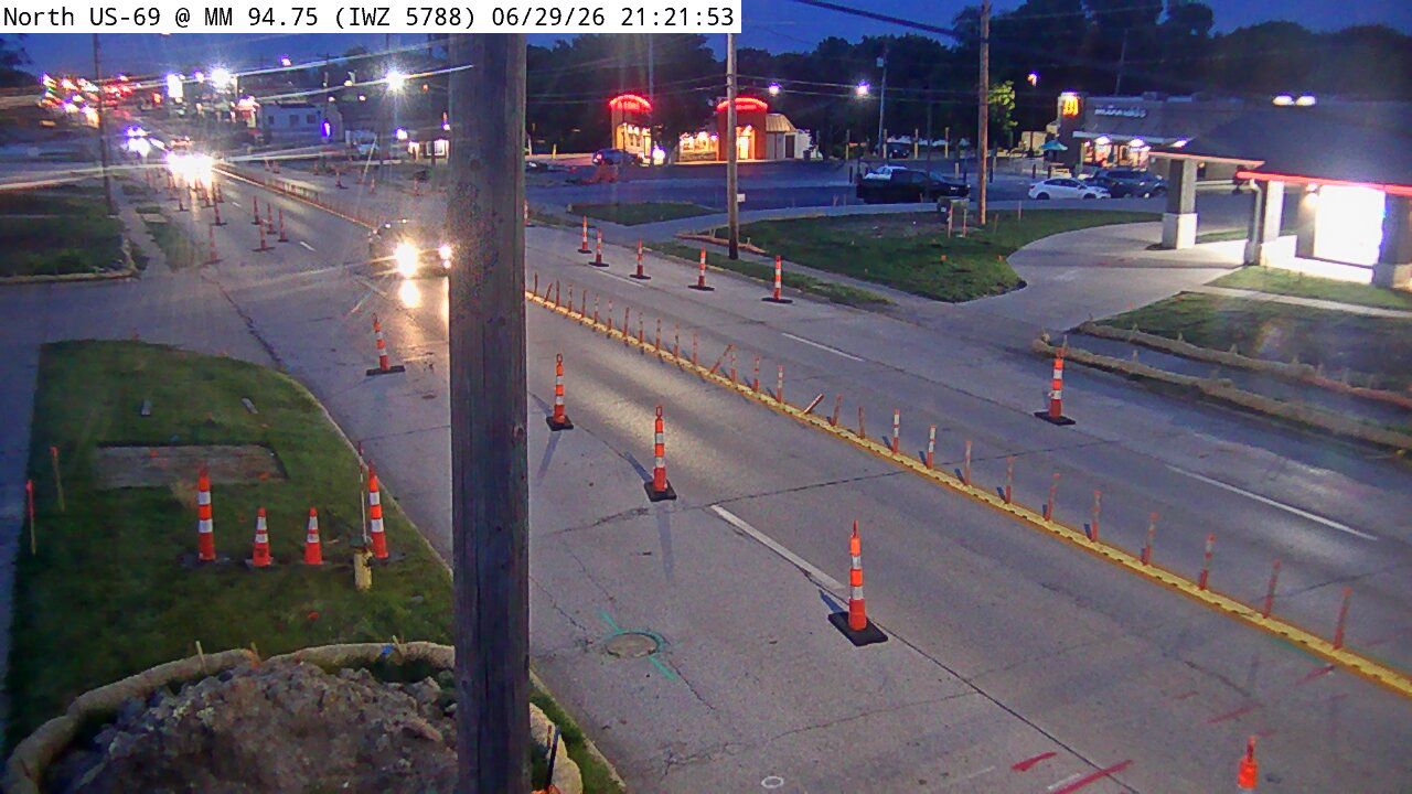 Not checked yetStill imageUS 69 at MM 94.7 (IWZ 5788)
 Not checked yetStill imageI-35 at MM 92.6 (1st St - Ankeny)
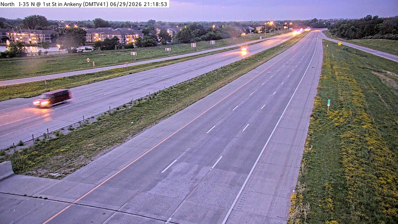 Not checked yetStill imageI-35 at MM 92.6 (1st St - Ankeny), Des Moines
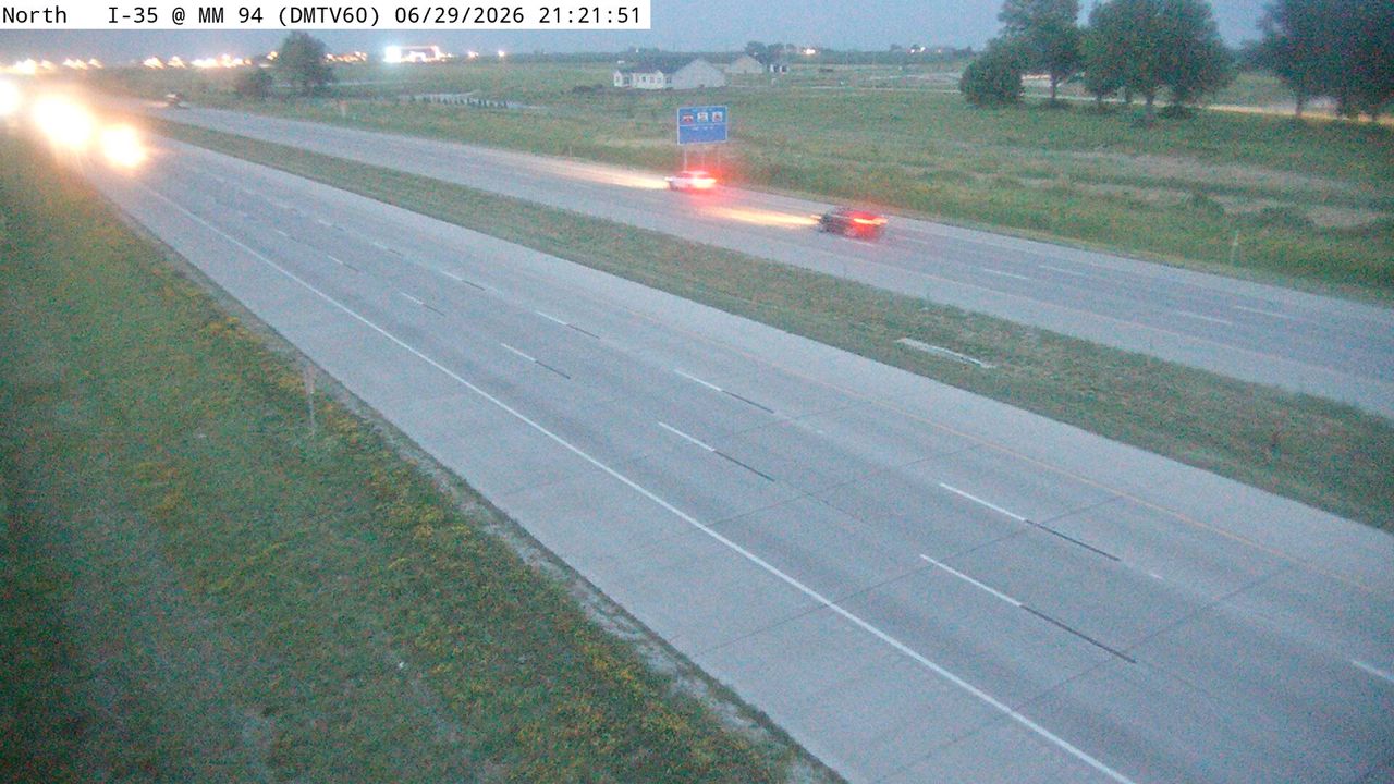 Not checked yetStill imageI-35 at MM 93.9 (S of NE 36th St), Des Moines
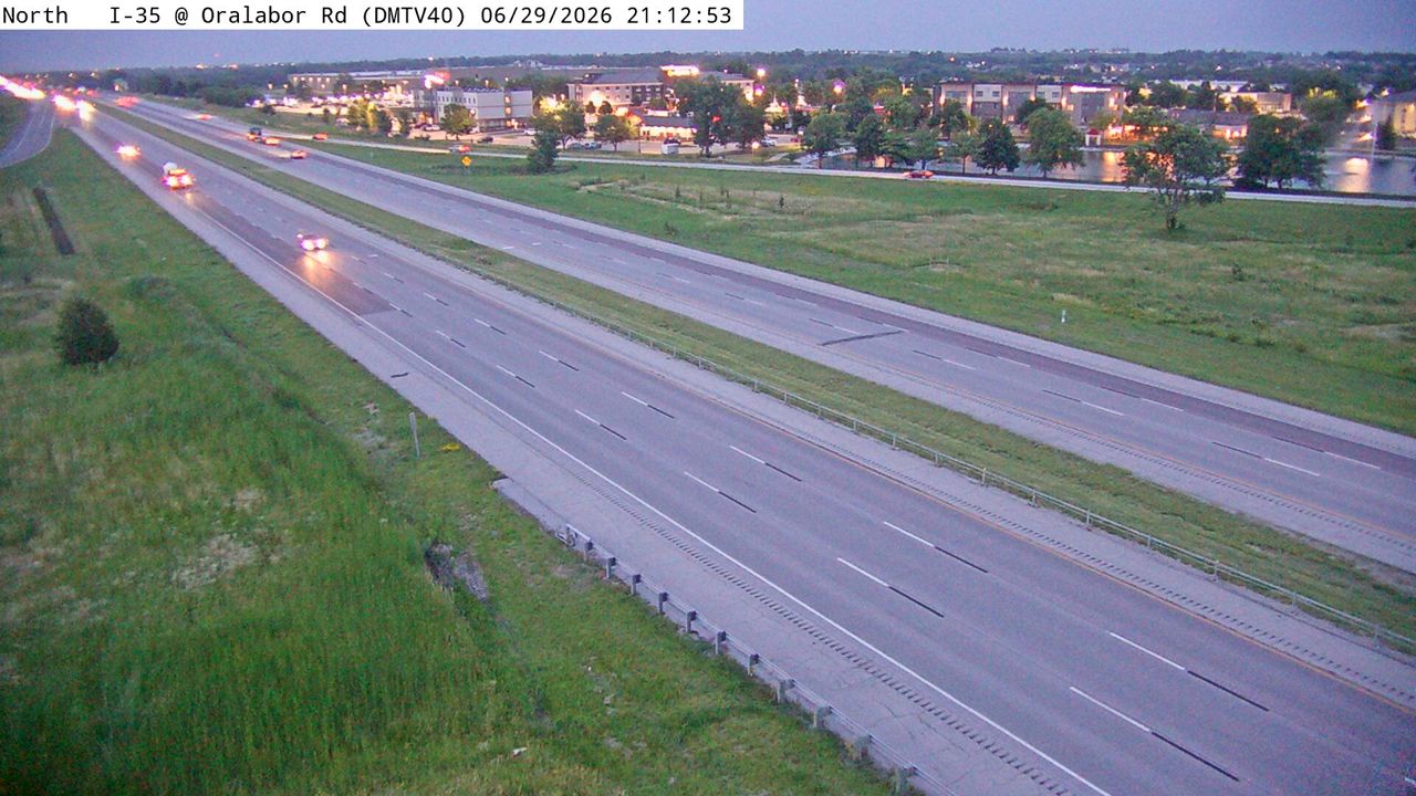 Not checked yetStill imageI-35 at MM 90.6 (Oralabor Rd), Des Moines
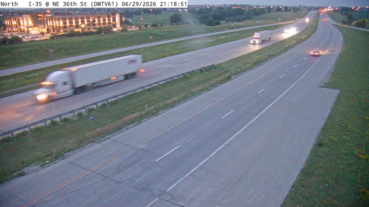 Not checked yetStill imageI-35 at MM 94.7 (NE 36th St), Des Moines
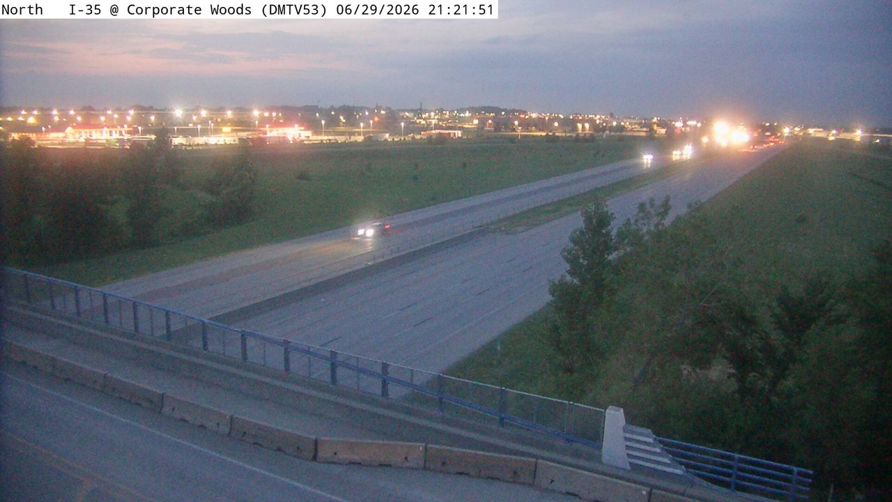 Not checked yetStill imageI-35 at MM 89 (Corporate Woods Dr), Des Moines
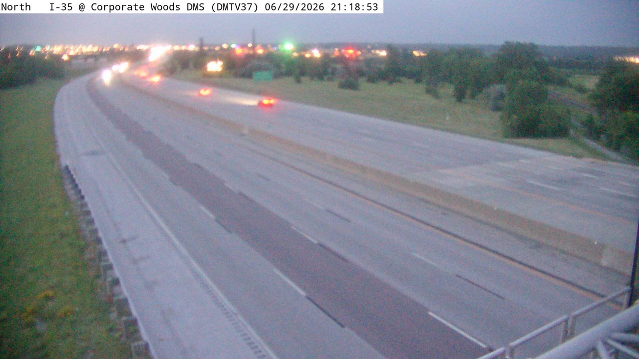 Not checked yetStill imageI-35 at MM 88.3 (Corporate Woods DMS), Des Moines
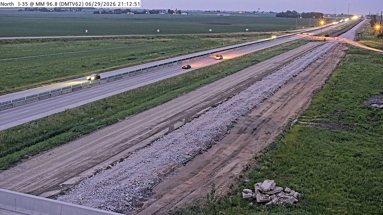 Not checked yetStill imageI-35 at MM 96.8 (NE 126th Ave Elkhart), Des Moines
 Not checked yetStill imageI-35/80 at MM 137.2 (EB Exit to I-35 NB - East Mix), Des Moines
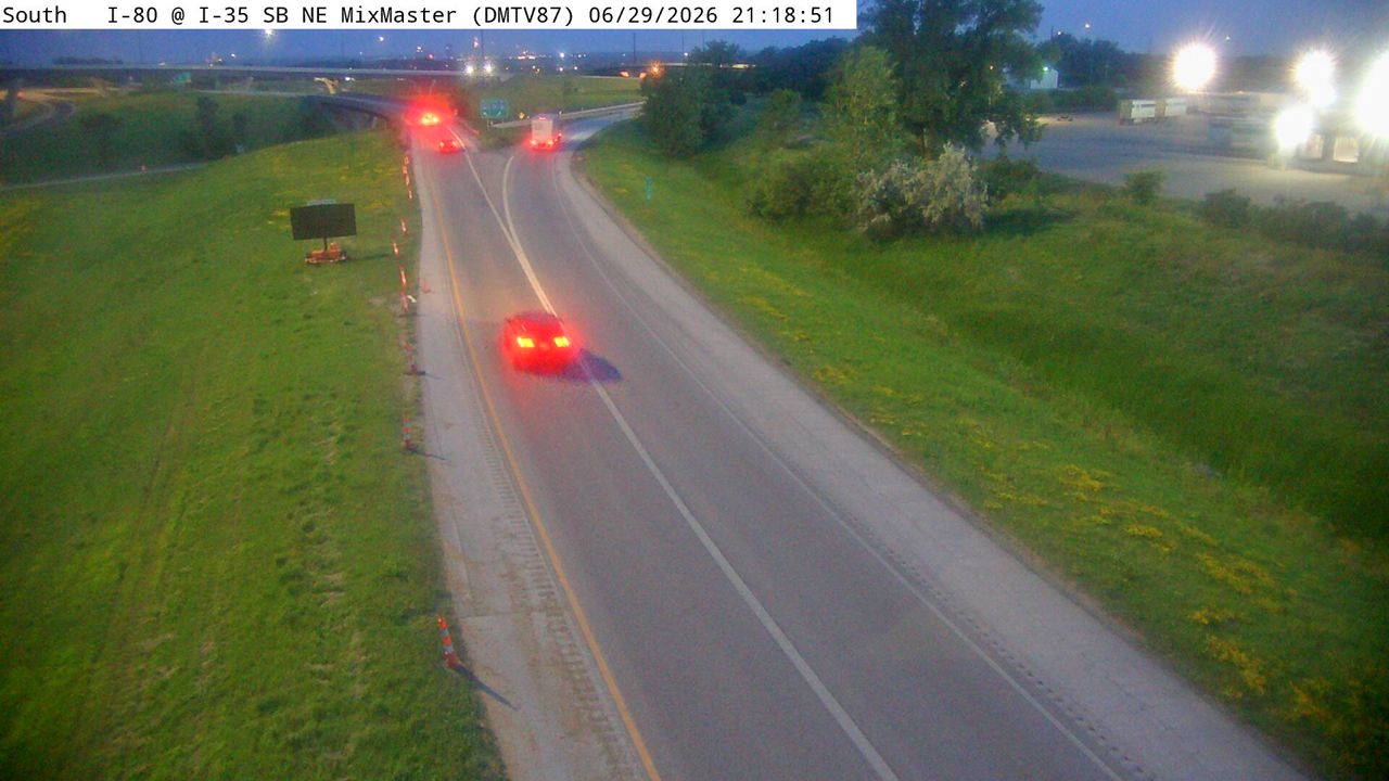 Not checked yetStill imageI-35 at MM 87.2 (I-35 SB Exits to I-80 Split - East Mix), Des Moines
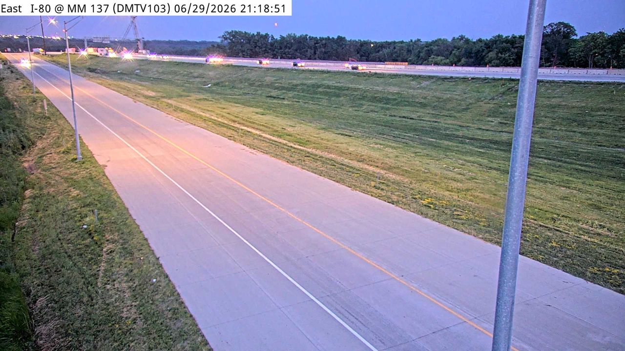 Not checked yetStill imageI-80 at MM 137.8 (WB Exit to I-35 NB - East Mix), Des Moines
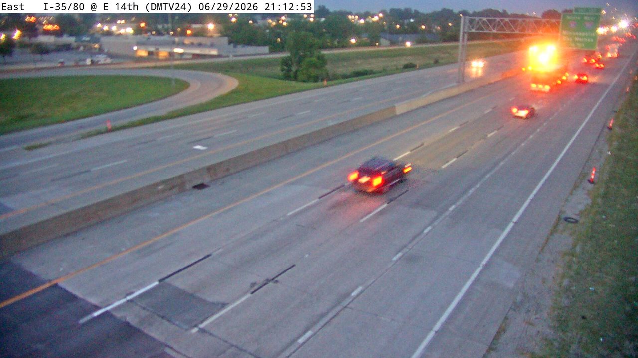 Not checked yetStill imageI-35/80 at MM 136.2 (E 14th), Des Moines
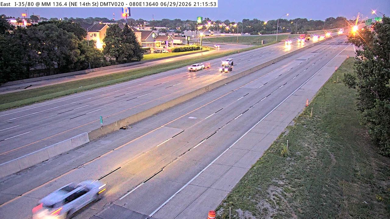 Not checked yetStill imageI-35/80 at MM 136.4, Des Moines
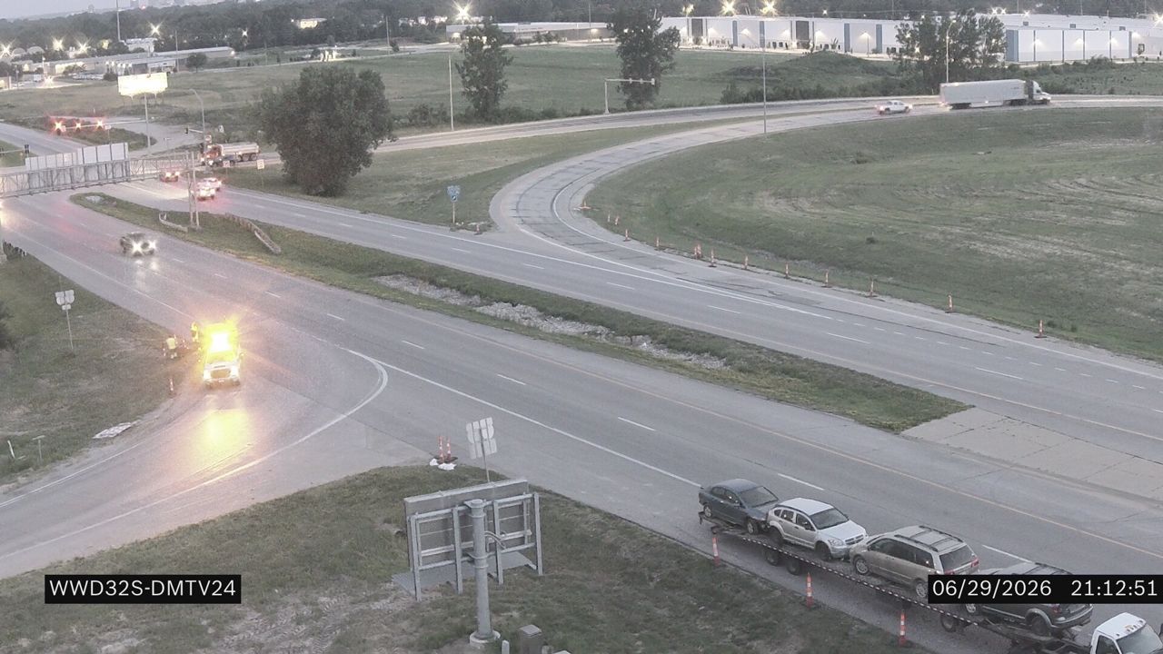 Not checked yetStill imageI-80 at MM 136.2 (E 14th St)
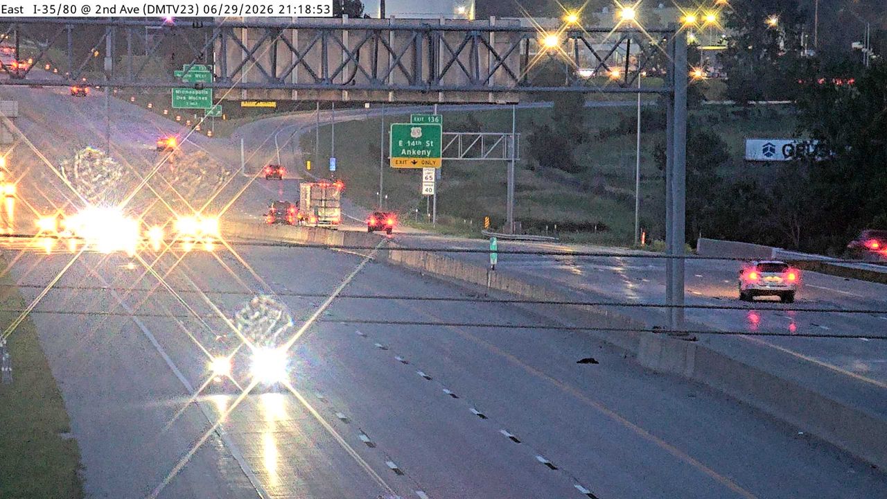 Not checked yetStill imageI-35/80 at MM 135.2 (2nd Ave), Des Moines
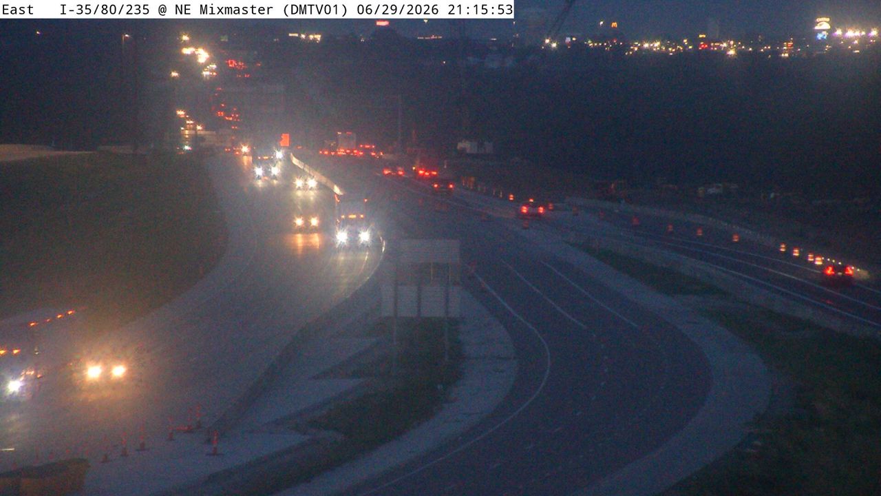 Not checked yetStill imageI-235 at MM 14.3 (EB Exit to I-80 WB - East Mix), Des Moines
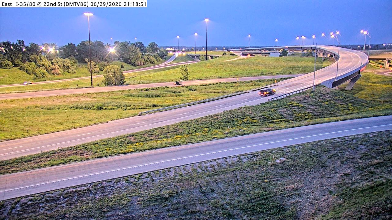 Not checked yetStill imageI-35/80 at MM 137.2 (22nd St - East Mix), Des Moines
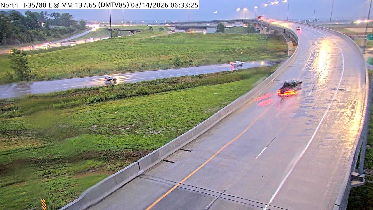 Not checked yetStill imageI-35/80 at MM 137.3 (EB Exit to I-35 NB Split - East Mix), Des Moines
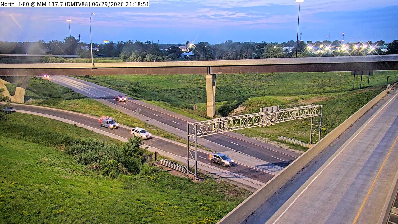 Not checked yetStill imageI-35 at MM 86.8 (SB Exit to I-80 WB - East Mix), Des Moines
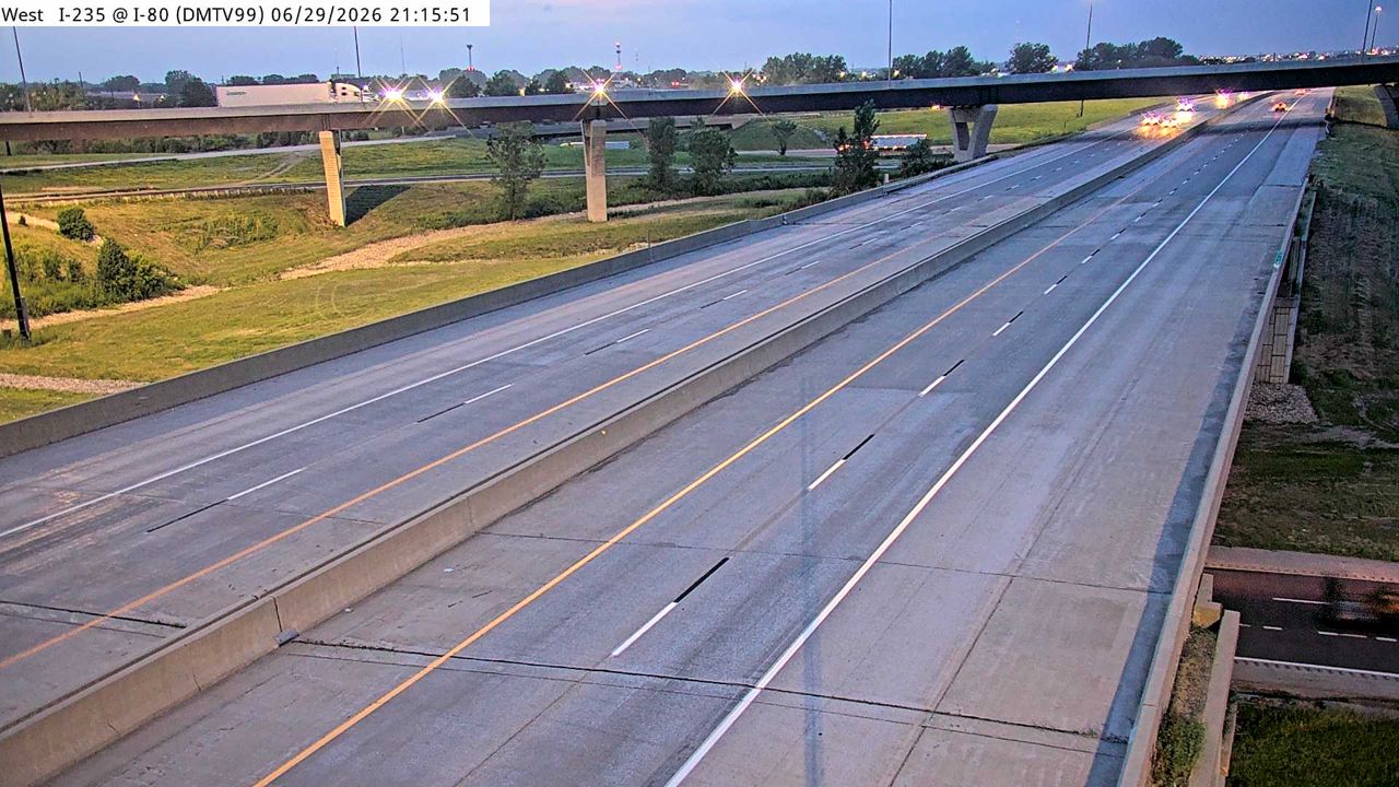 Not checked yetStill imageI-235 at MM 14.2 (I-80 East Mix), Des Moines
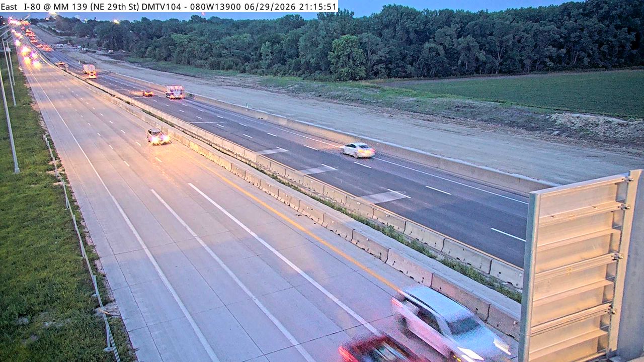 Not checked yetStill imageI-80 at MM 138.7, Des Moines
 Not checked yetStill imageI-35/80 at MM 134.54 (NW 6th Dr.), Des Moines
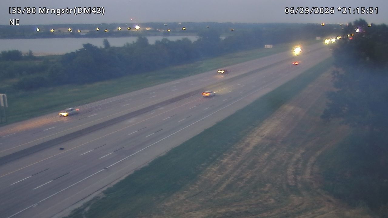 Not checked yetStill imageI-35/80 at MM 133.5 (Morningstar Dr), Des Moines
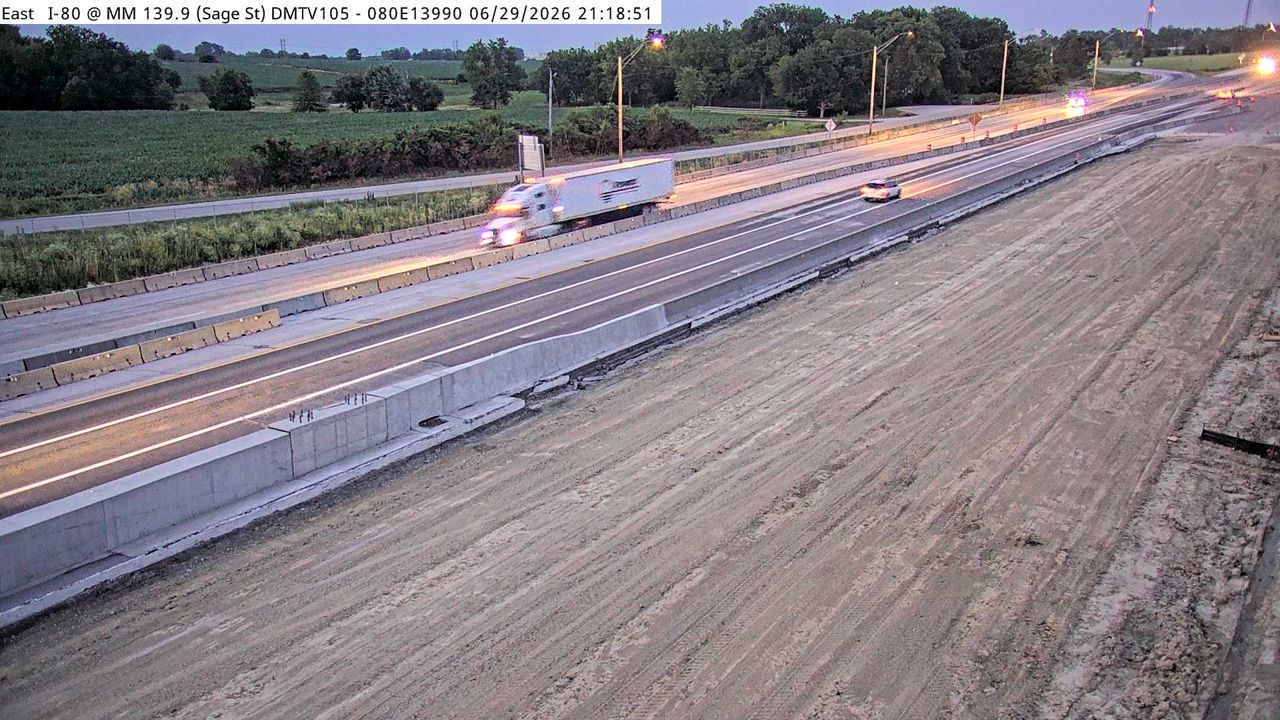 Not checked yetStill imageI-80 at MM 140.0 (Berwick DMS), Des Moines
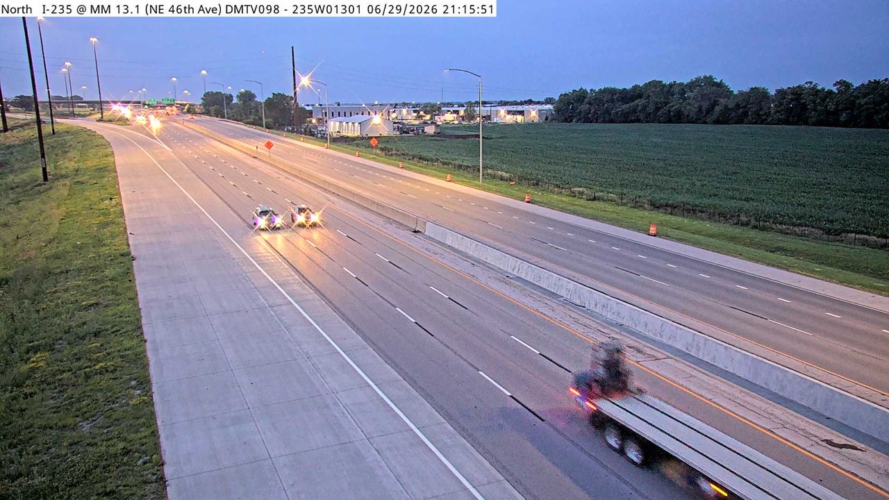 Not checked yetStill imageI-235 at MM 13.1 (Broadway DMS), Des Moines
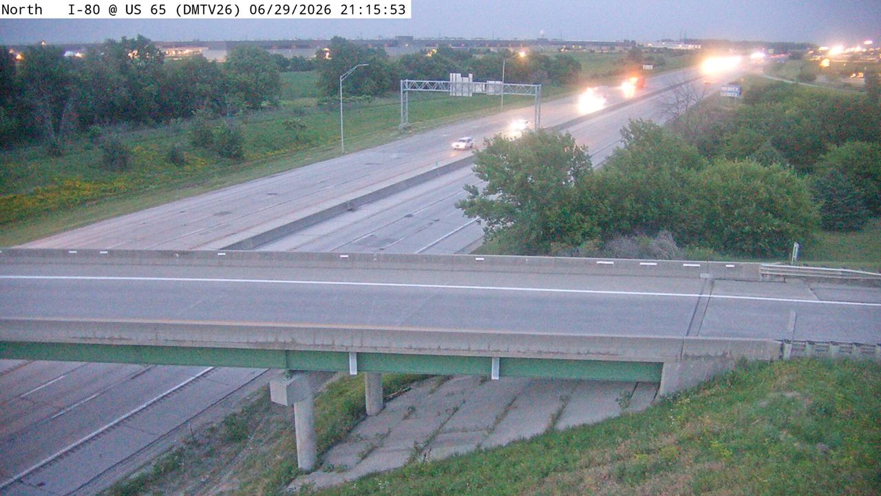 Not checked yetStill imageI-80 at MM 140.4 (US 65), Des Moines
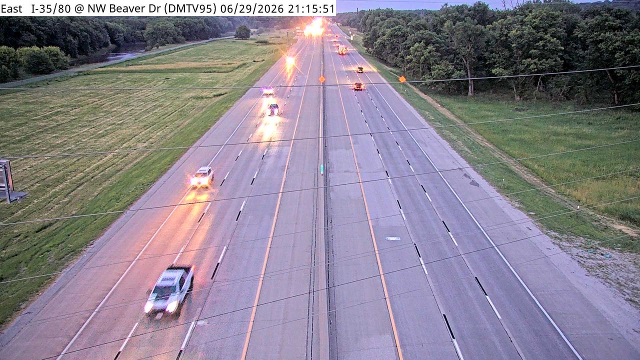 Not checked yetStill imageI-35/80 at MM 132 (NW Beaver Dr), Des Moines
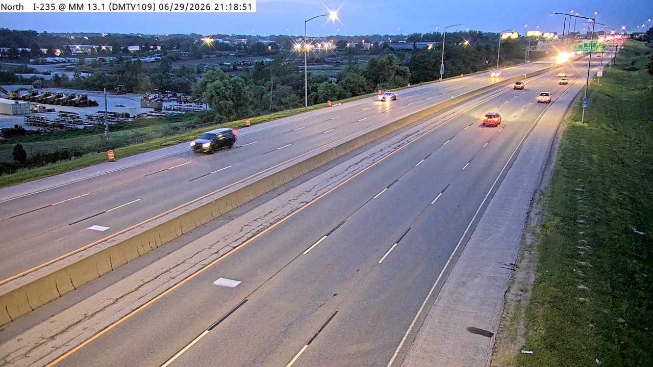 Not checked yetStill imageI-235 at MM 13.1 ( E of Euclid Ave), Des Moines
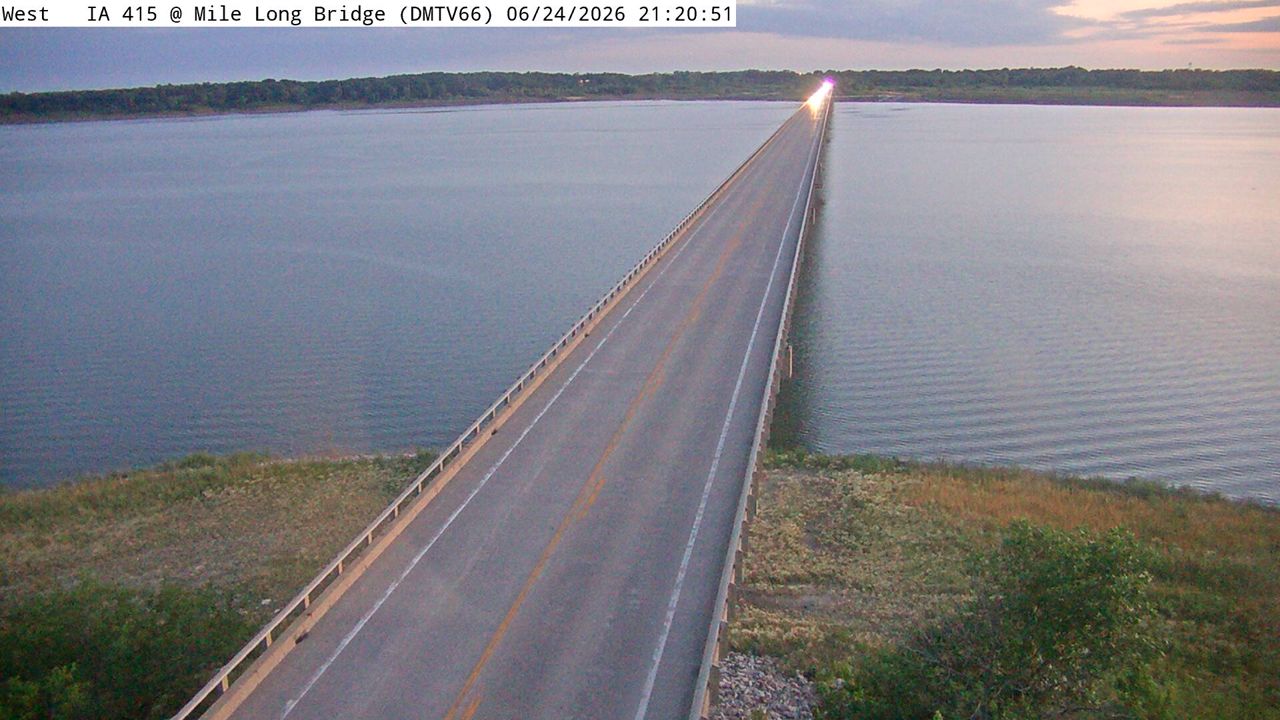 Not checked yetStill imageIA 415 at MM 13.7 (Mile Long Bridge), Des Moines
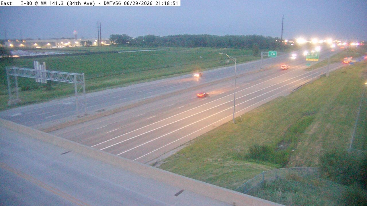 Not checked yetStill imageI-80 at MM 141.3 (34th Ave), Des Moines
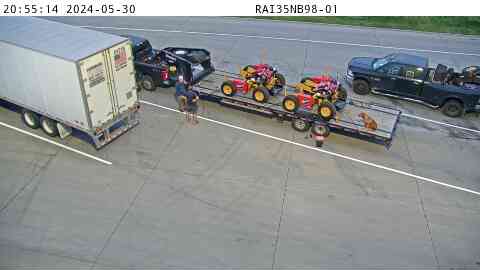
 Not checked yetStill imageRest Area: I-35 NB MM 98 near Elkhart, entry view
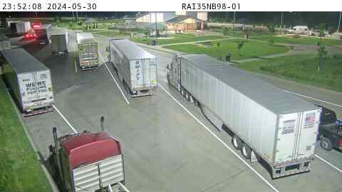
 Not checked yetStill imageRest Area: I-35 NB MM 98 near Elkhart, center view
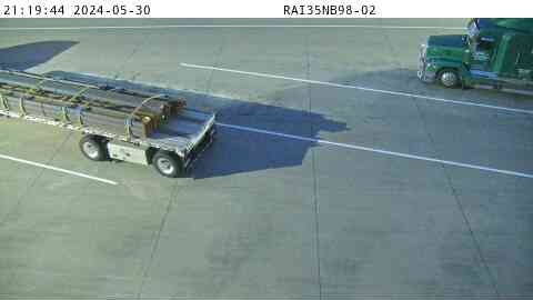
 Not checked yetStill imageRest Area: I-35 NB MM 98 near Elkhart, exit view
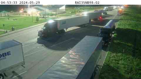
 Not checked yetStill imageRest Area: I-35 NB MM 98 near Elkhart
 Not checked yetStill imageRest Area: I-35 NB MM 98 near Elkhart
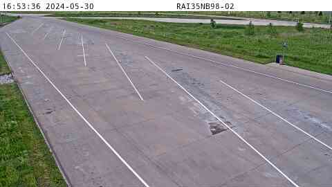 Not checked yetStill imageRest Area: I-35 NB MM 98 near Elkhart
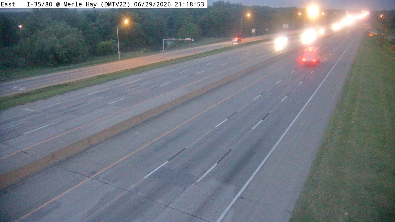 Not checked yetStill imageI-35/80 at MM 131.1 (Merle Hay Rd), Des Moines
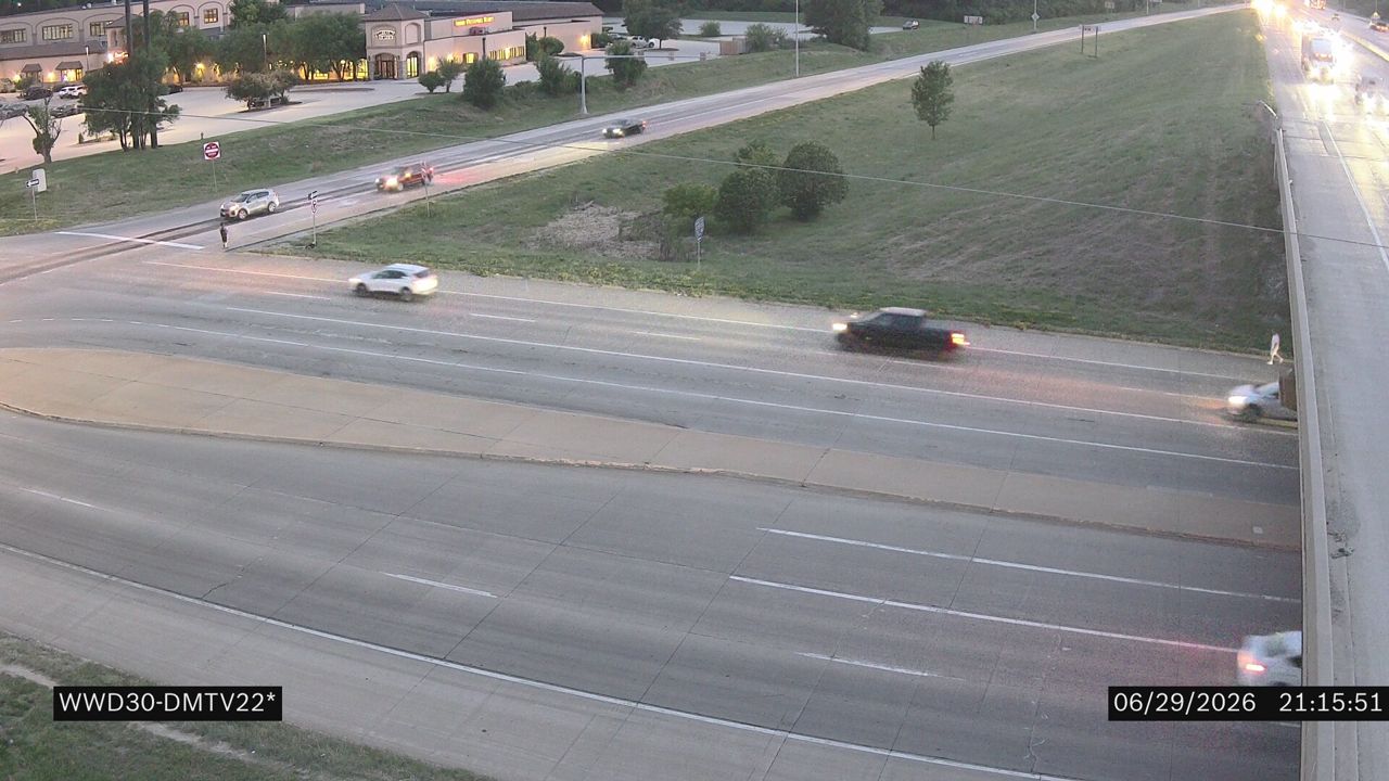 Not checked yetStill imageI-80 at MM 131.2 (Merle Hay Rd)
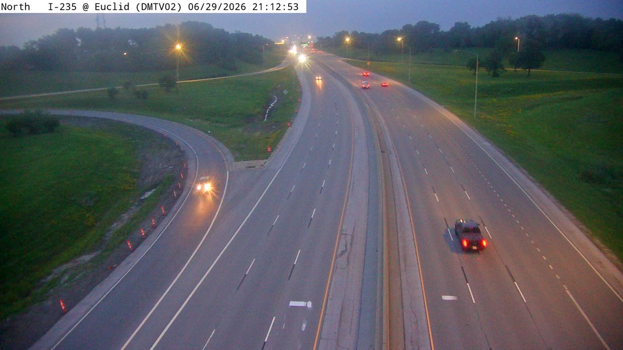 Not checked yetStill imageI-235 at MM 12.6 (Euclid Ave), Des Moines
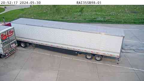 Not checked yetStill imageRest Area: I-35 SB MM 98 near Elkhart, center view
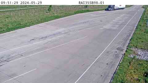 Not checked yetStill imageRest Area: I-35 SB MM 98 near Elkhart, entry view
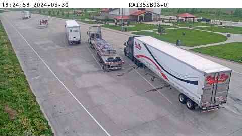 Not checked yetStill imageRest Area: I-35 SB MM 98 near Elkhart, exit view
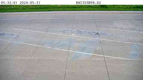 Not checked yetStill imageRest Area: I-35 SB MM 98 near Elkhart
 Not checked yetStill imageRest Area: I-35 SB MM 98 near Elkhart
 Not checked yetStill imageRest Area: I-35 SB MM 98 near Elkhart
 Not checked yetStill imageI-80 at MM 141.7 (Hubbell Ave - S of I-80)
 Not checked yetStill imageI-80 at MM 141.7 (Hubbell Ave - S of I-80), Des Moines
 Not checked yetStill imageI-80 at MM 141.8 (Hubbell Ave - N of I-80), Des Moines
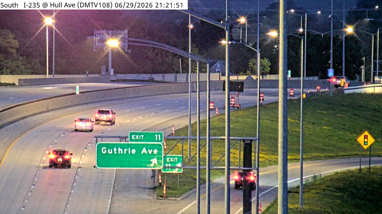 Not checked yetStill imageI-235 at MM 12.3 (Hull Ave), Des Moines
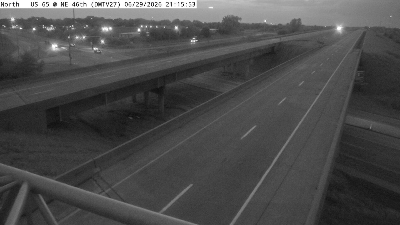 Not checked yetStill imageUS 65 at MM 81.6 (8th St), Des Moines
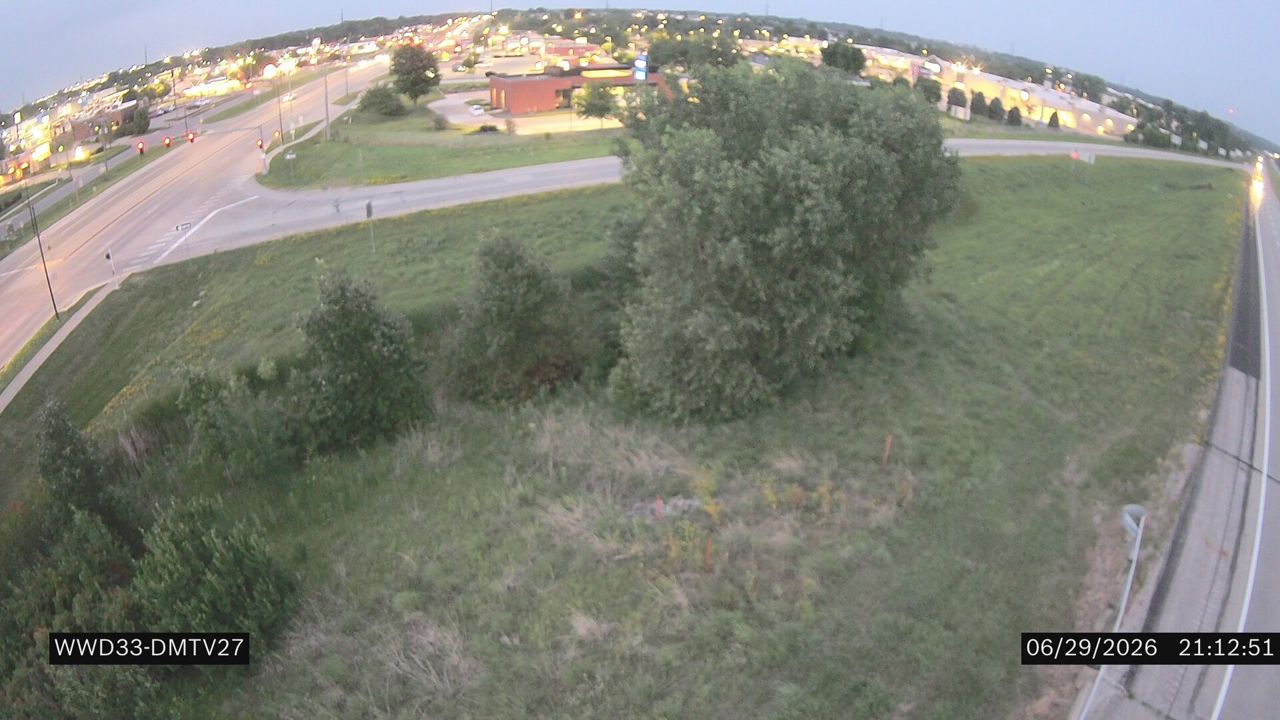 Not checked yetStill imageUS 65 at MM 81.5 (8th St SW)
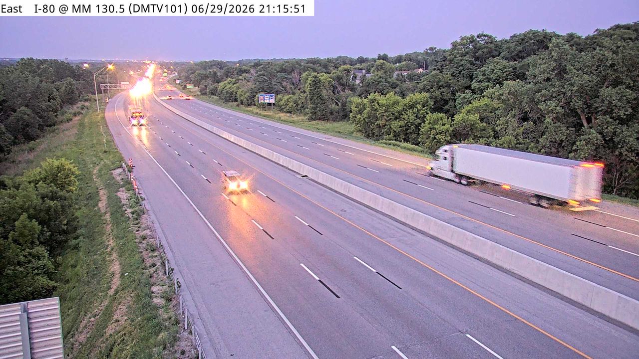 Not checked yetStill imageI-35/80 at MM 130.2 (72nd St), Des Moines
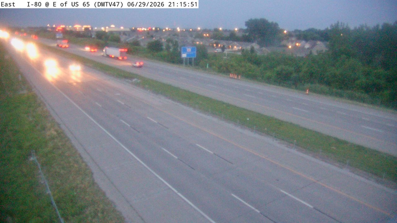 Not checked yetStill imageI-80 at MM 142.9 (E of US 65), Des Moines
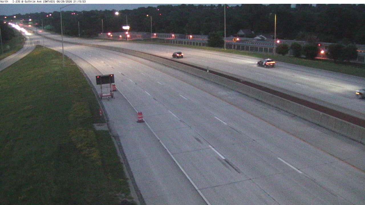 Not checked yetStill imageI-235 at MM 11.7 (Guthrie Ave), Des Moines
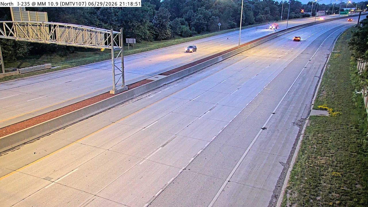 Not checked yetStill imageI-235 at MM 11.3 (E of Easton Blvd), Des Moines
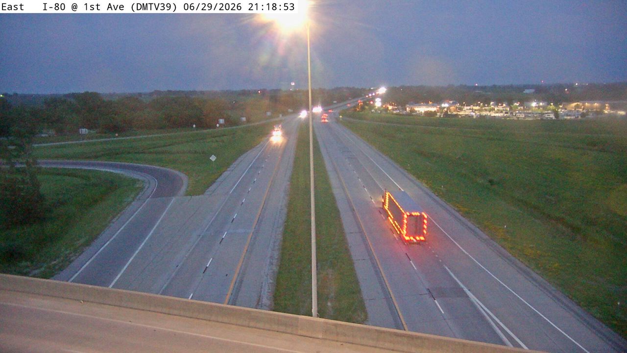 Not checked yetStill imageI-80 at MM 143.4 (1st Ave - Altoona), Des Moines
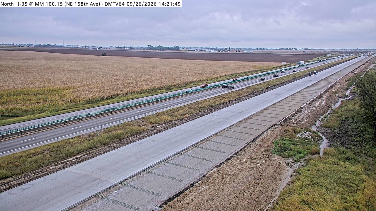 Not checked yetStill imageI-35 at MM 100.15 (NE 158TH Ave.), Des Moines
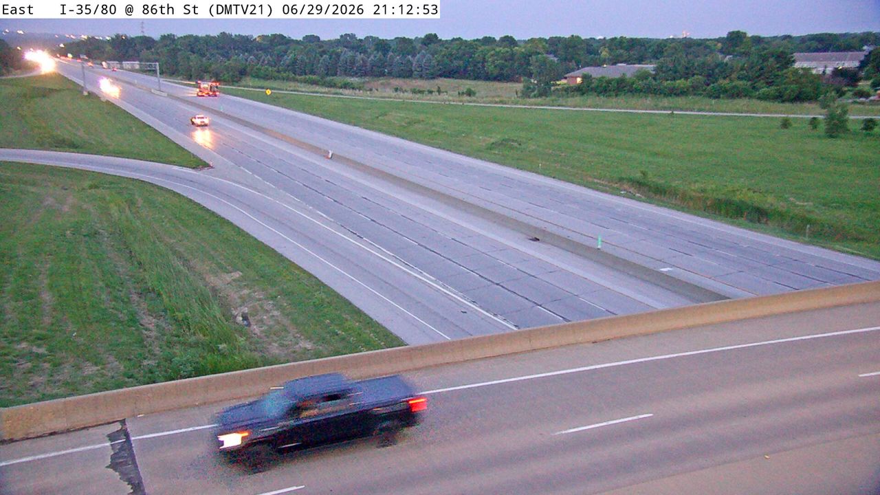 Not checked yetStill imageI-35/80 at MM 129.1 (86th St), Des Moines
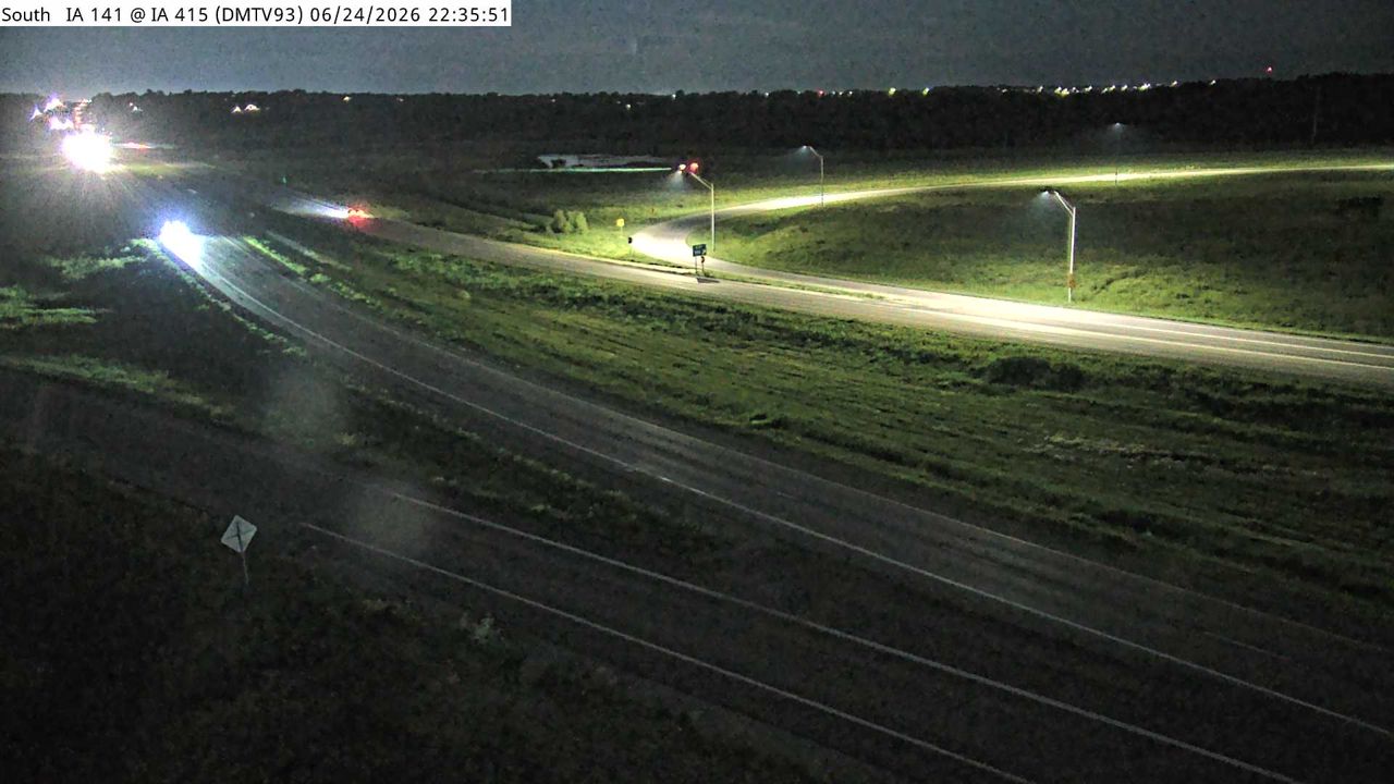 Not checked yetStill imageIA 141 at MM 149 (IA 415), Des Moines
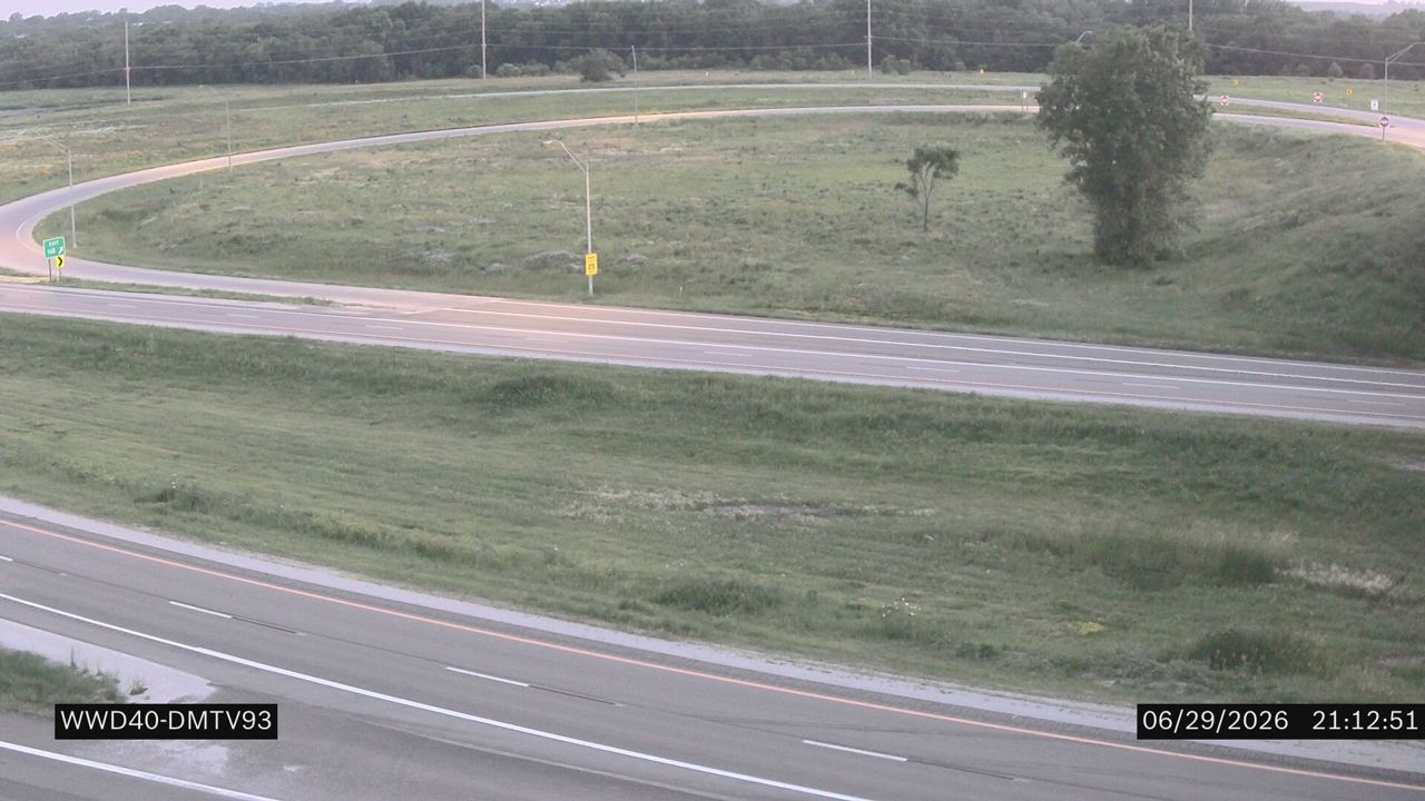 Not checked yetStill imageIA 141 at MM 149
 Not checked yetStill imageI-235 at MM 10.8 (E 21st St), Des Moines
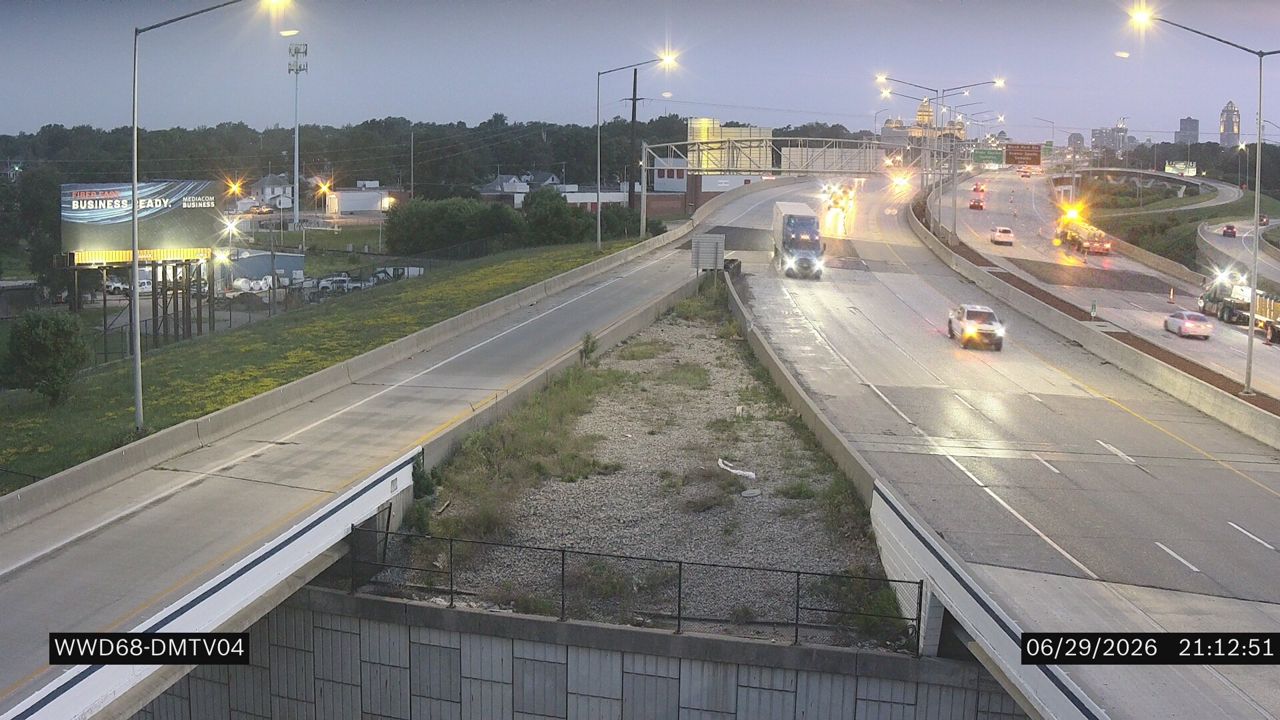 Not checked yetStill imageI-235 at MM 10.8
 Not checked yetStill imageI-235 at MM 10.53 (University Blvd.), Des Moines
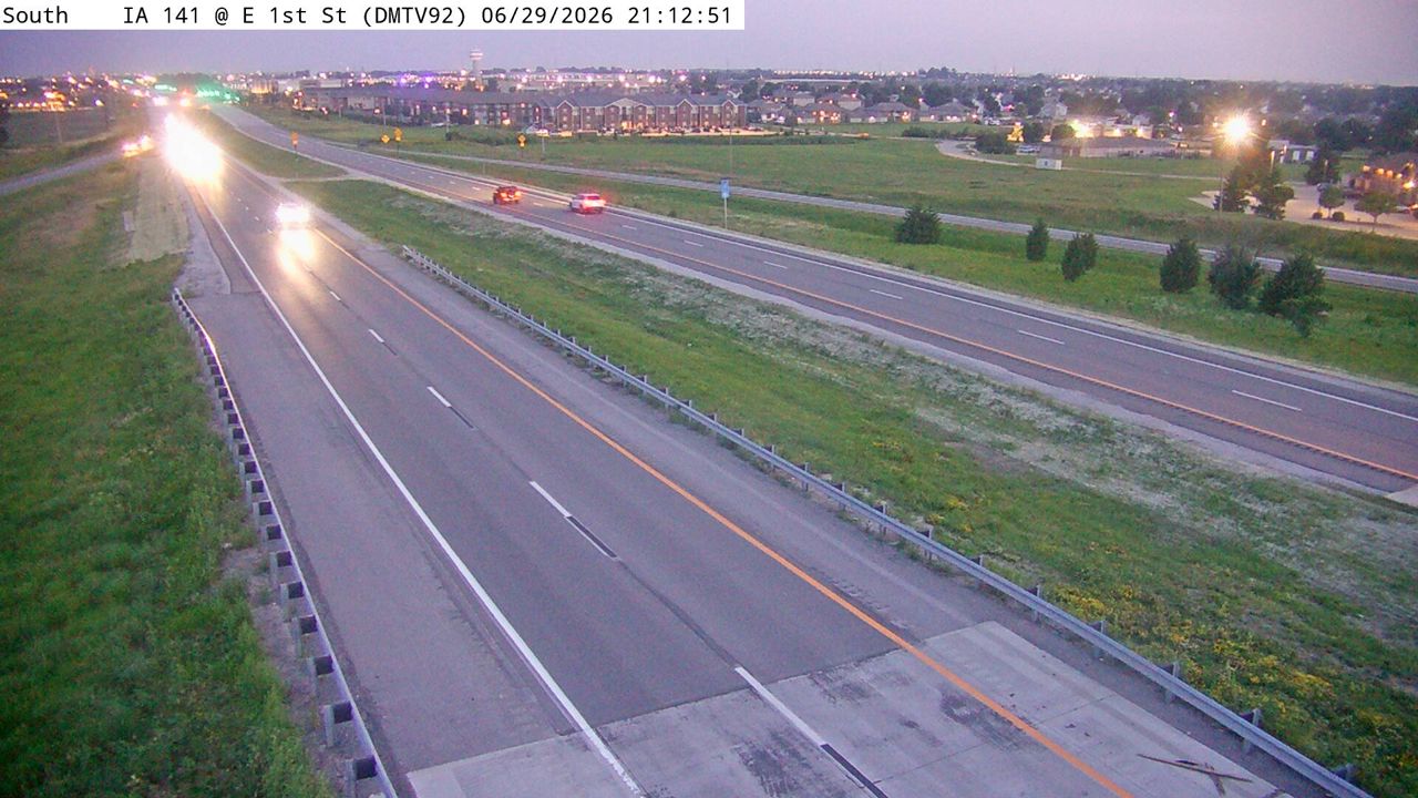 Not checked yetStill imageIA 141 at MM 152.5 (E 1st St), Des Moines
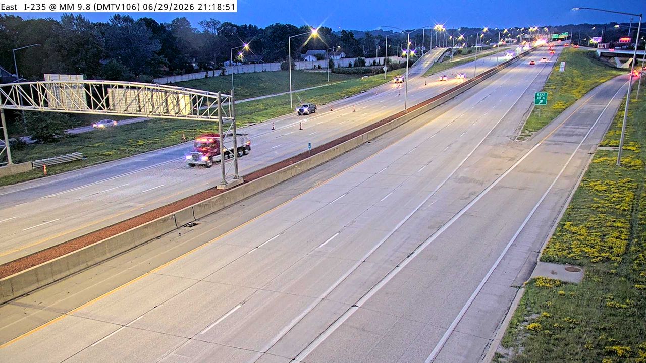 Not checked yetStill imageI-235 at MM 10.1 (EB Exit to University Ave), Des Moines
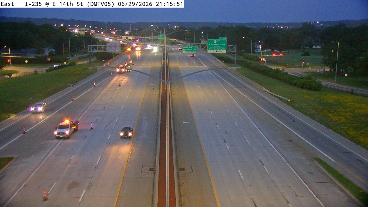 Not checked yetStill imageI-235 at MM 9.8 (E 14th St), Des Moines
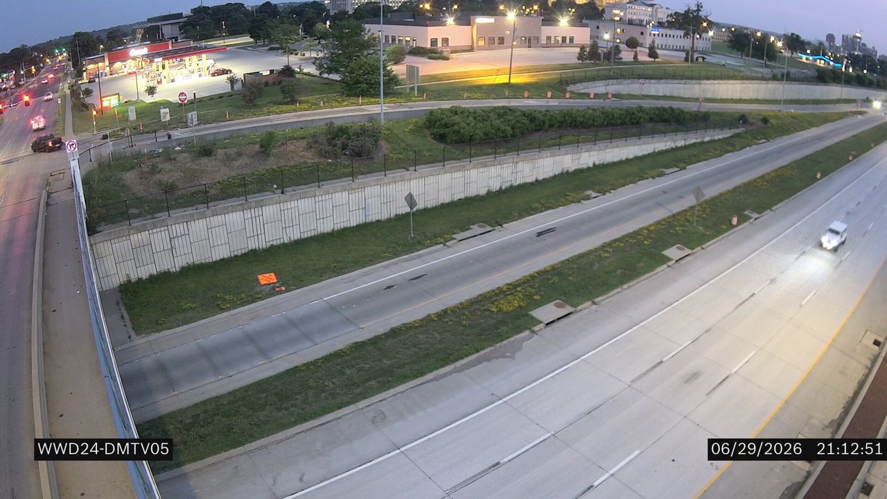 Not checked yetStill imageI-235 at MM 9.8 (E 14th St)
 Not checked yetStill imageI-80 at MM 144.5 (NE 80th St - Altoona), Des Moines
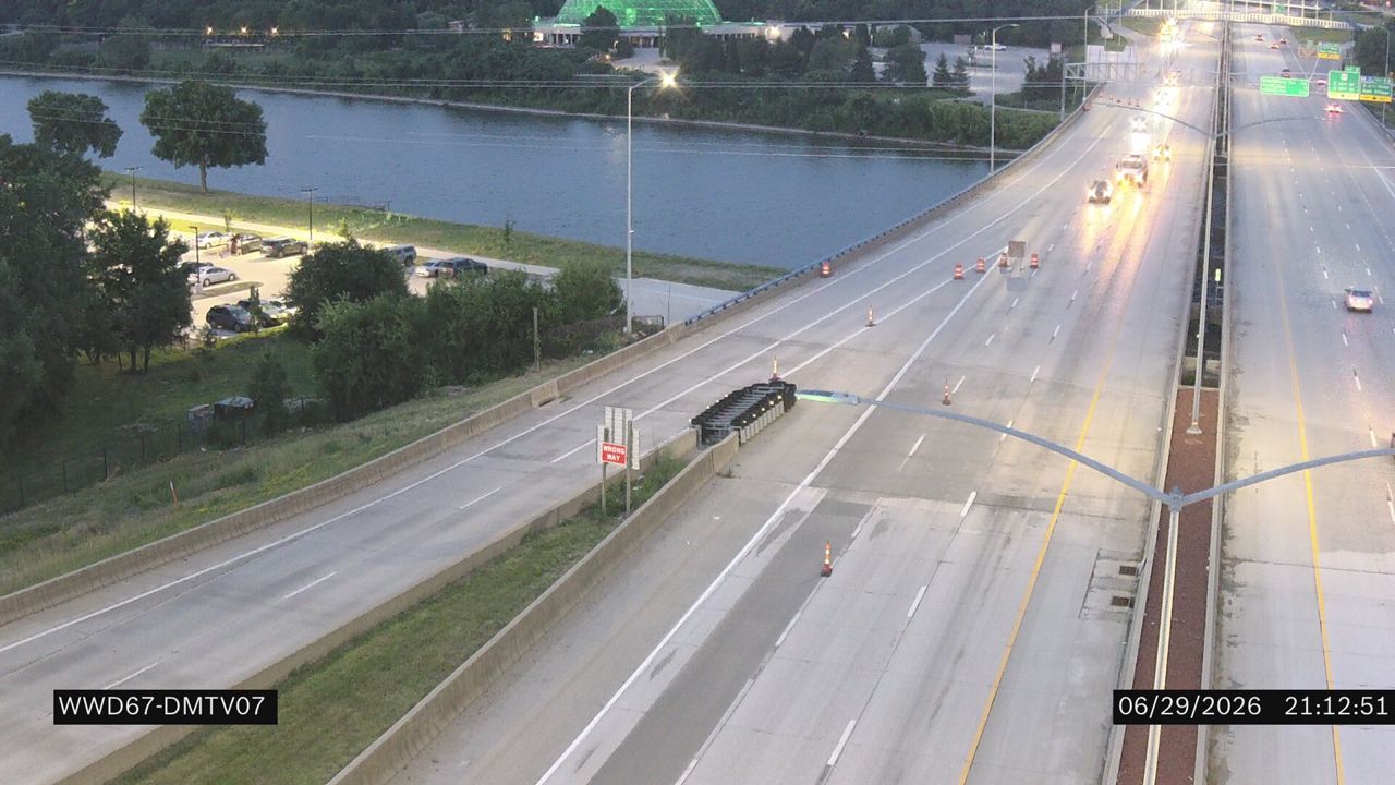 Not checked yetStill imageI-235 at MM 8.7
 Not checked yetStill imageI-235 at MM 9.6 (E 12th St), Des Moines
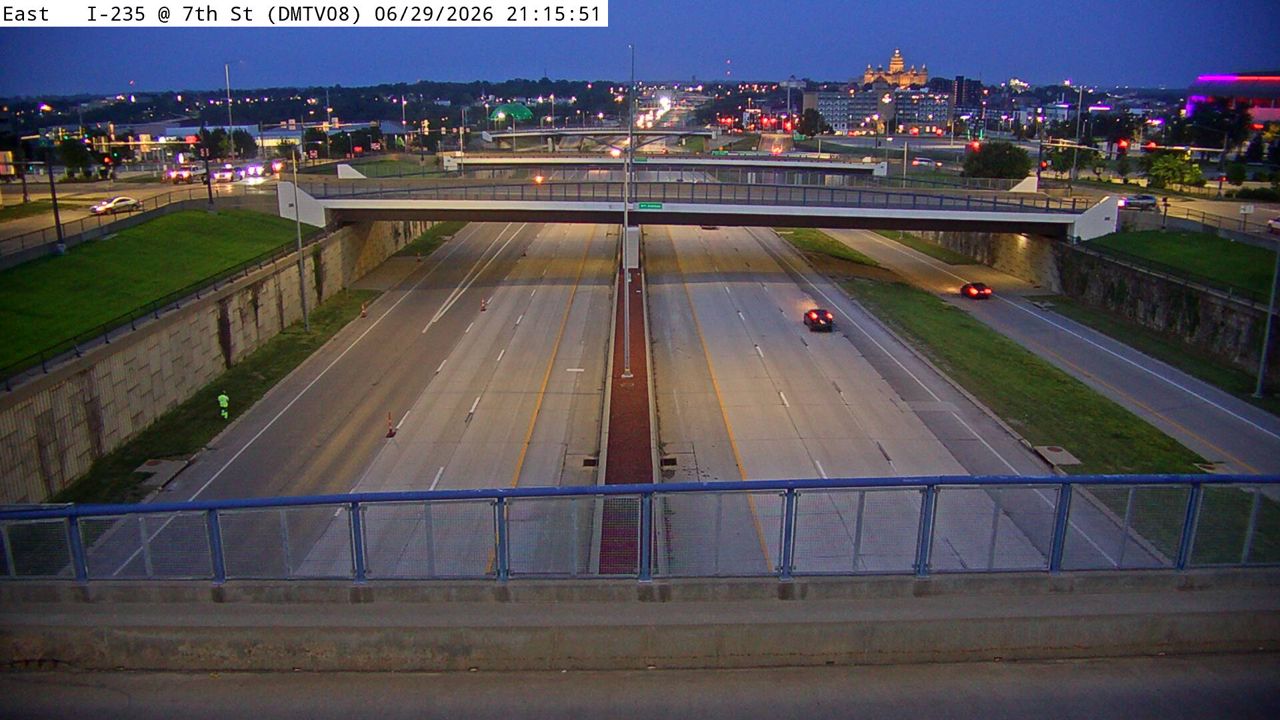 Not checked yetStill imageI-235 at MM 8.3 (7th Ave), Des Moines
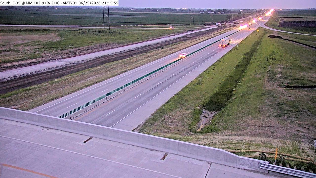 Not checked yetStill imageI-35 at MM 102.9 (IA 210), Ames/Boone/Nevada
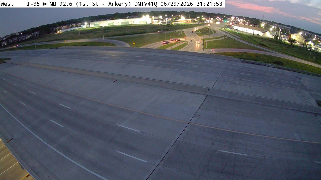 IntermittentStill imageI-35 at MM 92.6 (1st St - Ankeny)-Q, Des Moines
No live video among these cameras. Turn off "Live video only" to see them all.
Best cams to watch
- I-35 at MM 87.5 (NE 54th Ave - East Mix), Des Moines — Still image · every 5 min, working 100 % of the time in the last 30 days.
- I-35/80 at MM 136.9, Des Moines — Still image · every 5 min, working 100 % of the time in the last 30 days.
- I-35 at MM 98.8 (NE 142nd Ave), Des Moines — Still image · every 5 min, working 100 % of the time in the last 30 days.
Ankeny is a city in Polk County, Iowa, directly north of Des Moines, and one of the fastest-growing places in the state. The 2020 census counted about 68,000 residents, and recent estimates put it well above that, making it Iowa's fifth-largest city. John Fletcher Ankeny laid out the town in 1875 on farmland bought for $1,600; for decades it was a quiet farm town, until a wartime ordnance plant arrived in the 1940s and later became John Deere's Des Moines Works. Today it is home to the main campus of Des Moines Area Community College, Faith Baptist Bible College and about sixty parks, including the busy Prairie Ridge sports complex. The paved High Trestle Trail begins here and runs northwest across farm country to its famous lit bridge over the Des Moines River.
Interstate 35 views
The cameras on this page are Iowa Department of Transportation traffic cameras, which share still images that refresh every few minutes. Interstate 35 runs through Ankeny on its way north toward Ames and Minneapolis, with several busy interchanges serving the growing city, and the views here look at those lanes and ramps. LiveLocation assigns each camera to its nearest place, so a few views just outside the city limits, toward the northern edge of the Des Moines metro, can appear too.
Central Time governs the Des Moines area, Ankeny included. The morning commute south toward downtown Des Moines and the afternoon return north are the busiest times on I-35, and Iowa State football weekends in Ames add traffic in the fall. Winter snowstorms and blowing snow are common from December to March, and spring and summer bring severe thunderstorms. Late June evenings stay light until nearly nine o'clock, while December sunsets come around a quarter to five.
Des Moines and the Iowa State Fairgrounds are a short drive south, Saylorville Lake lies to the west, and the Neal Smith Trail links Ankeny's trail network with the Des Moines River.
Sources: Ankeny, Iowa - Wikipedia · Iowa 511 (Iowa DOT traveler information) · High Trestle Trail - Wikipedia.
Nearby places
- Cedar Rapids (104)
- Des Moines (103)
- Council Bluffs (101)
- West Des Moines (95)
- Pekin (93)
- Galesburg (77)
- Omaha (63)
- Ames (63)
Questions about Ankeny
How many live cameras are there in Ankeny?
LiveLocation lists 80 cameras in and around Ankeny, United States: 0 live video, 80 still images. 5 of them were live or showing a fresh image at the last check.
Who runs the cameras in Ankeny?
All of them come from Iowa DOT (80). Each camera plays straight from the agency or owner that runs it, with credit. Iowa DOT
What can I see on the Ankeny cameras?
All of them show traffic and highway (80). Good ones to start with: I-35 at MM 87.5 (NE 54th Ave - East Mix), Des Moines and I-35/80 at MM 136.9, Des Moines. I-35 at MM 87.5 (NE 54th Ave - East Mix), Des Moines I-35/80 at MM 136.9, Des Moines
Can I watch live video from Ankeny?
Not yet: the cameras here send still images that refresh about every 5 minutes. The map can show only live-video cameras nearby. Live video on the map
What time is it in Ankeny, and when is it light?
Ankeny is on America/Chicago time. On October 7 the sun rises at 7:18 AM and sets at 6:46 PM, so still images are clearest between those times. Road cameras show the most traffic in the weekday morning and evening rush hours.
Which places near Ankeny also have cameras?
The nearest are Johnston (6.2 mi away, 15 cameras), Des Moines (8.9 mi away, 103 cameras) and Urbandale (9.0 mi away, 41 cameras). Johnston Des Moines Urbandale
How can I see the Ankeny cameras on a map?
The map at the top of this page shows all 80 of them. The live camera radar centers on Ankeny and lists every camera within 5 to 250 miles, nearest first, with filters for live video, traffic, nature and more. Open the radar on Ankeny
Place names and locations: GeoNames, licensed under CC BY 4.0.