Live cameras in Altoona, United States
30 cameras: 0 live video, 30 still images · 2 working now · updated Oct 8, 03:38 UTC
Altoona has 30 live cameras on LiveLocation right now: 0 live video, 30 still images. Good places to start: Rest Area: I-80 WB MM 148 near Mitchellville, center view, Rest Area: I-80 WB MM 148 near Mitchellville, entry view, I-80 at MM 142.9 (E of US 65), Des Moines. Local time is 10:38 PM (America/Chicago). Today the sun rises at 7:17 AM and sets at 6:45 PM.
Altoona live cameras
Watch Altoona live webcams: 0 live video, 30 still images. 2 were working at the last check. Altoona is home to about 17,000 people.
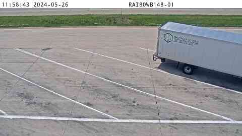 WorkingStill imageRest Area: I-80 WB MM 148 near Mitchellville, center view
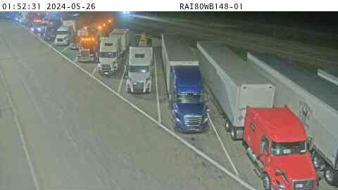 WorkingStill imageRest Area: I-80 WB MM 148 near Mitchellville, entry view
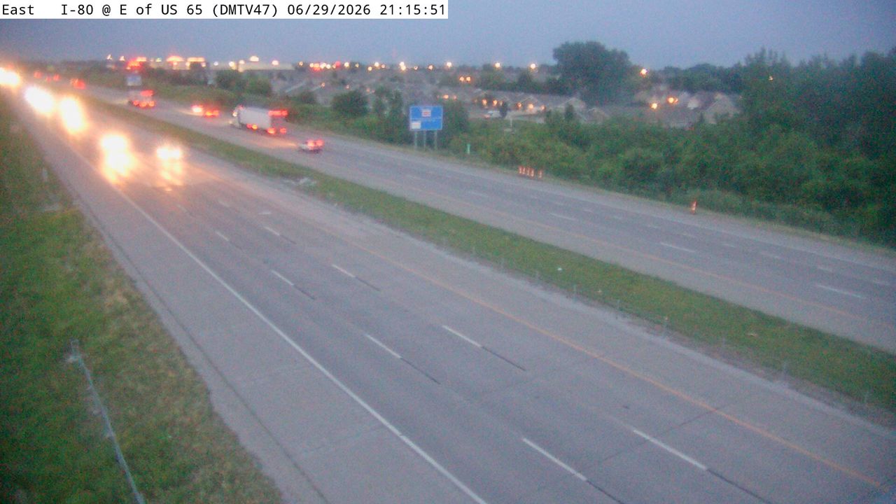 Not checked yetStill imageI-80 at MM 142.9 (E of US 65), Des Moines
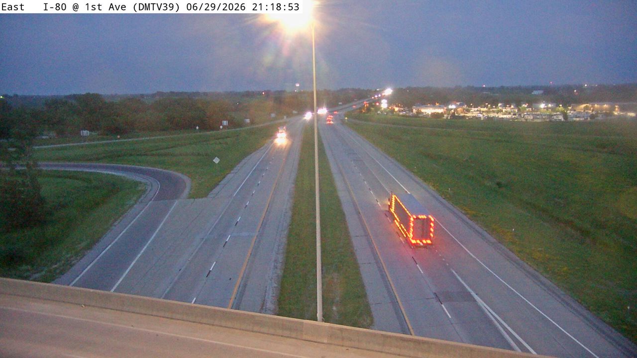 Not checked yetStill imageI-80 at MM 143.4 (1st Ave - Altoona), Des Moines
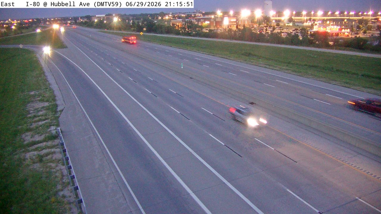 Not checked yetStill imageI-80 at MM 141.8 (Hubbell Ave - N of I-80), Des Moines
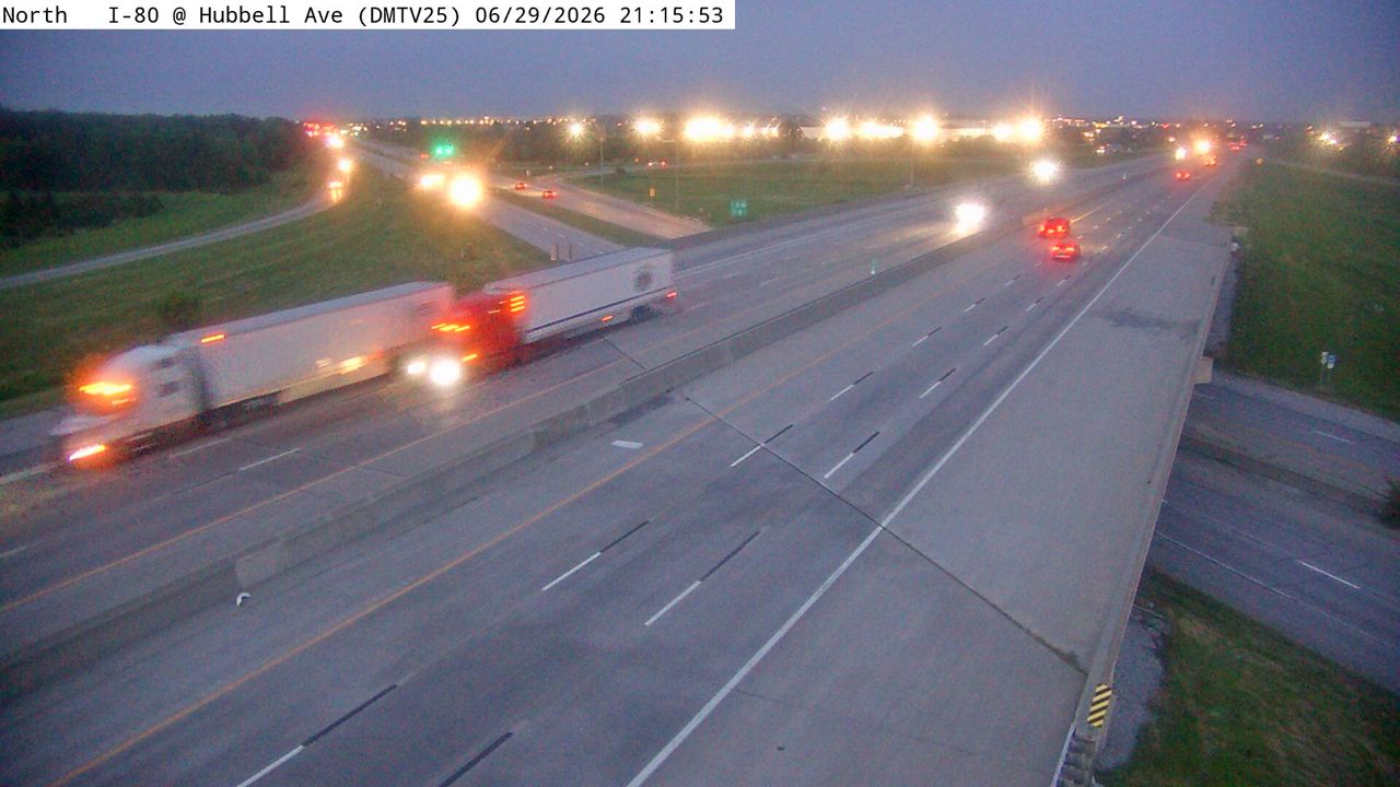 Not checked yetStill imageI-80 at MM 141.7 (Hubbell Ave - S of I-80), Des Moines
 Not checked yetStill imageI-80 at MM 141.7 (Hubbell Ave - S of I-80)
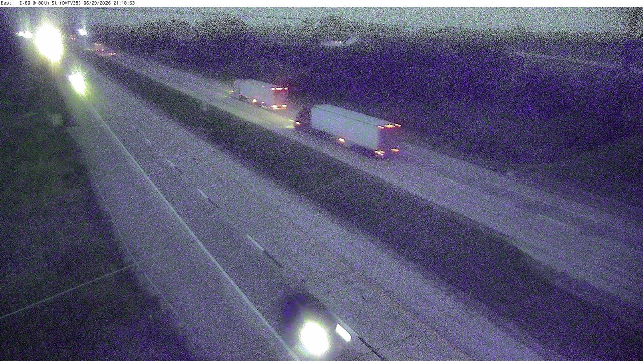 Not checked yetStill imageI-80 at MM 144.5 (NE 80th St - Altoona), Des Moines
 Not checked yetStill imageUS 65 at MM 81.5 (8th St SW)
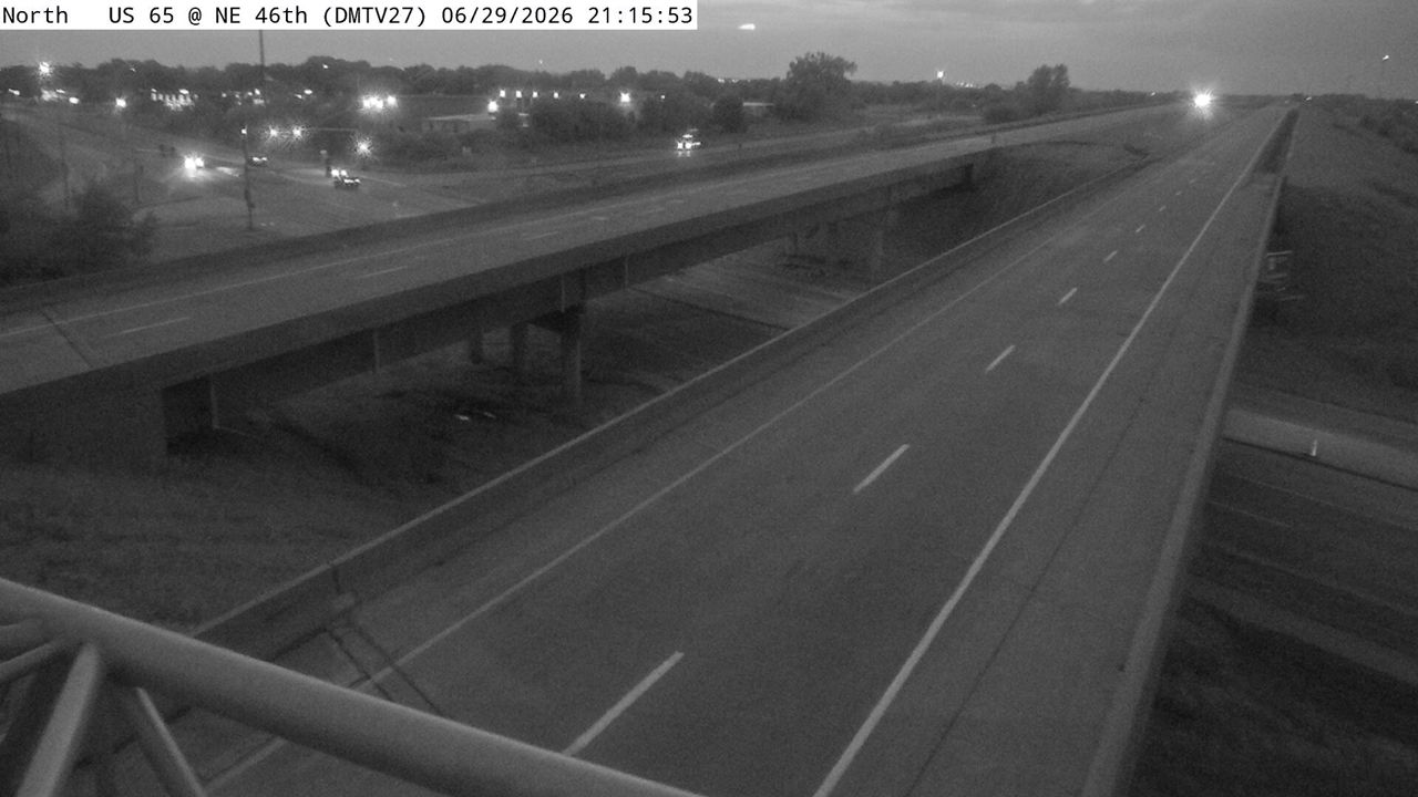 Not checked yetStill imageUS 65 at MM 81.6 (8th St), Des Moines
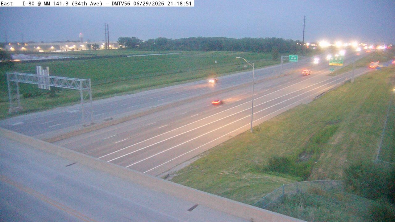 Not checked yetStill imageI-80 at MM 141.3 (34th Ave), Des Moines
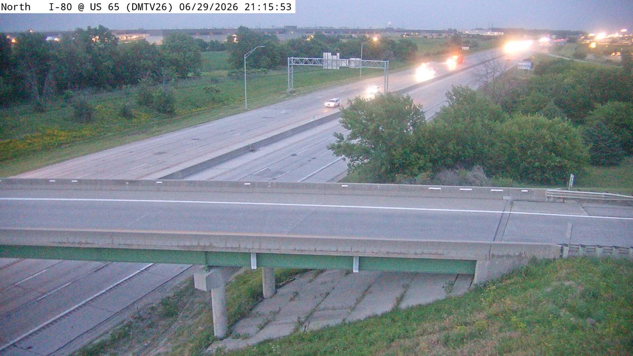 Not checked yetStill imageI-80 at MM 140.4 (US 65), Des Moines
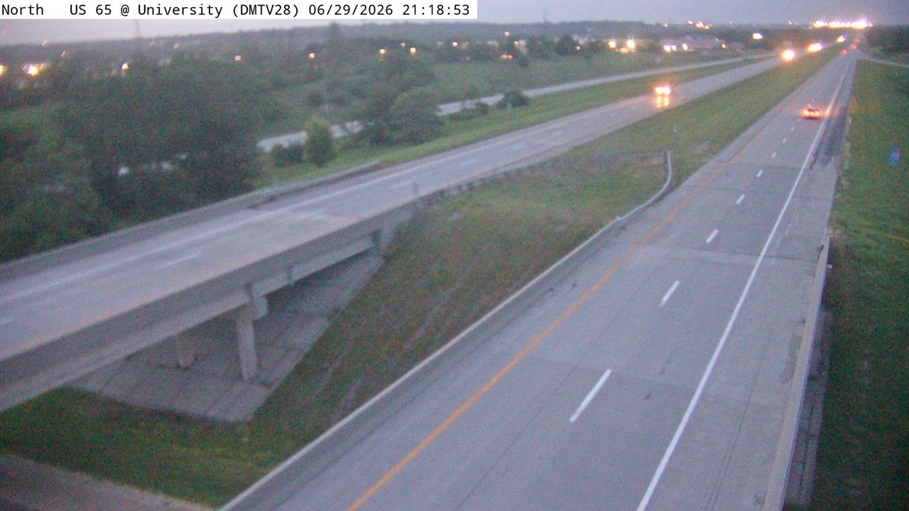 Not checked yetStill imageUS 65 at MM 78.2 (University Ave), Des Moines
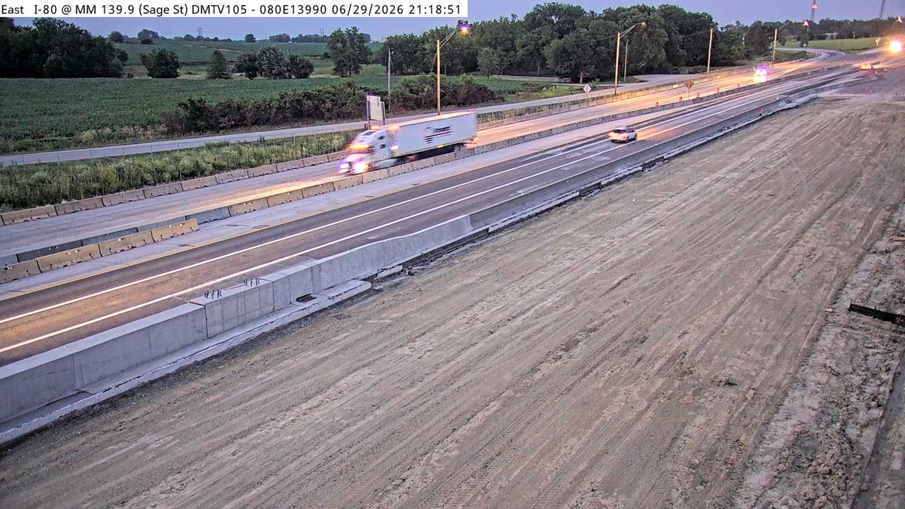 Not checked yetStill imageI-80 at MM 140.0 (Berwick DMS), Des Moines
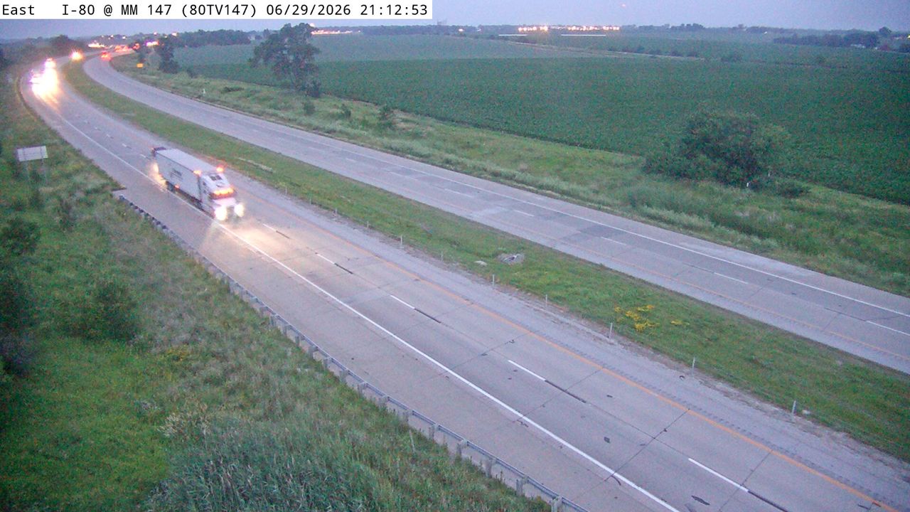 Not checked yetStill imageI-80 at MM 146.5
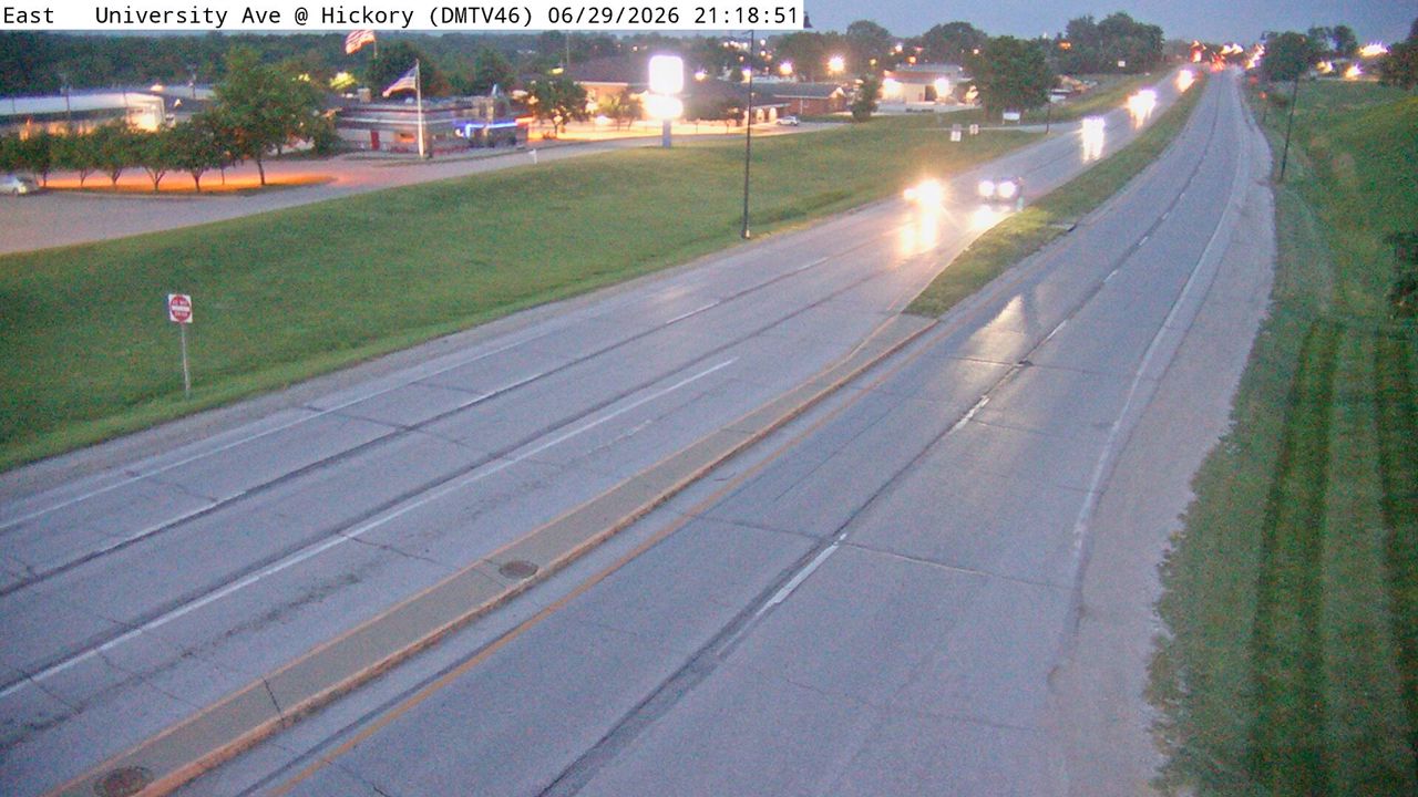 Not checked yetStill imageIA 163 at MM 4.3 (Hickory Blvd), Des Moines
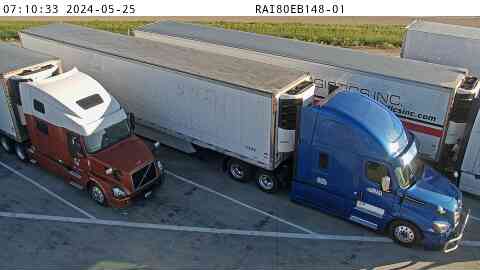 Not checked yetStill imageRest Area: I-80 EB MM 148 near Mitchellville, center view
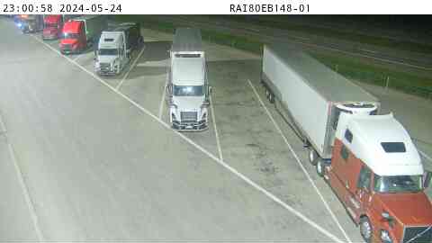 Not checked yetStill imageRest Area: I-80 EB MM 148 near Mitchellville, entry view
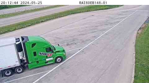 Not checked yetStill imageRest Area: I-80 EB MM 148 near Mitchellville, exit view
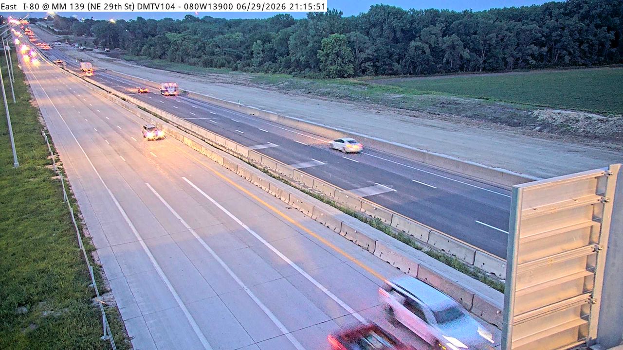 Not checked yetStill imageI-80 at MM 138.7, Des Moines
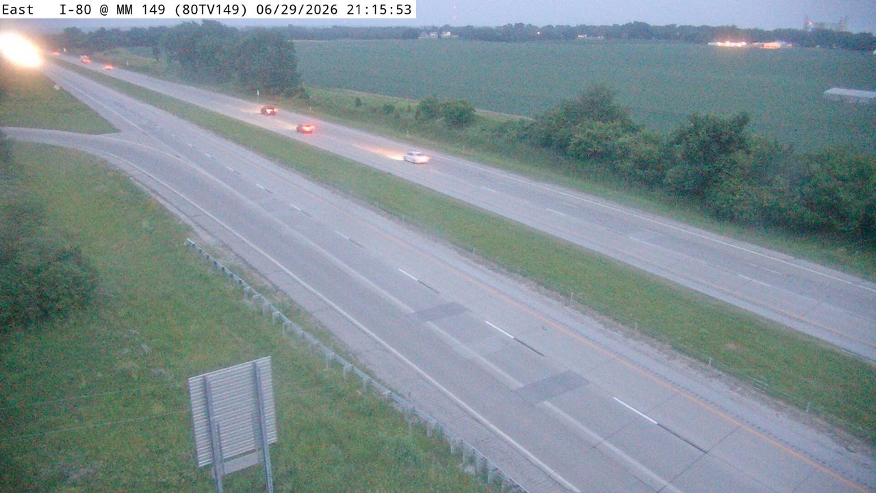 Not checked yetStill imageI-80 at MM 148.5
 Not checked yetStill imageIA 163 MM 12 at Prairie City
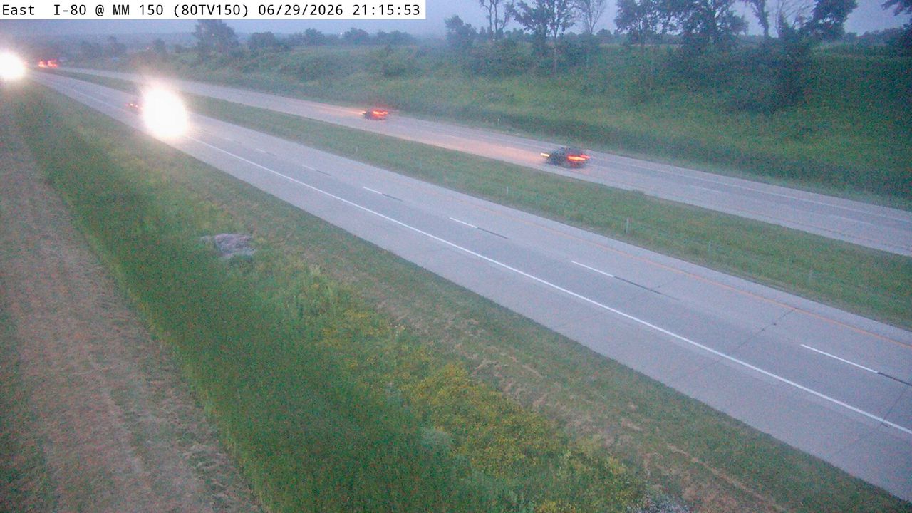 Not checked yetStill imageI-80 at MM 150
 Not checked yetStill imageWeigh Station - I-80 WB MM 151 near Mitchellville, center view
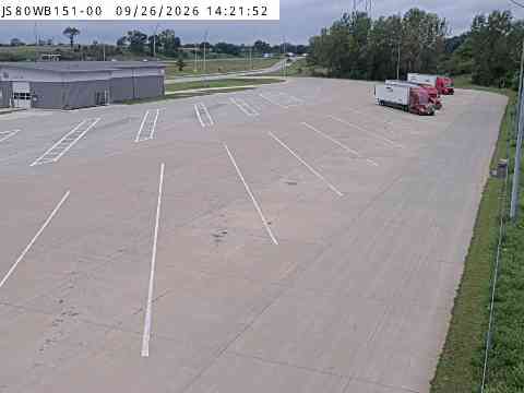 Not checked yetStill imageWeigh Station - I-80 WB MM 151 near Mitchellville, entry view
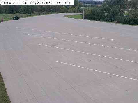 Not checked yetStill imageWeigh Station - I-80 WB MM 151 near Mitchellville, exit view
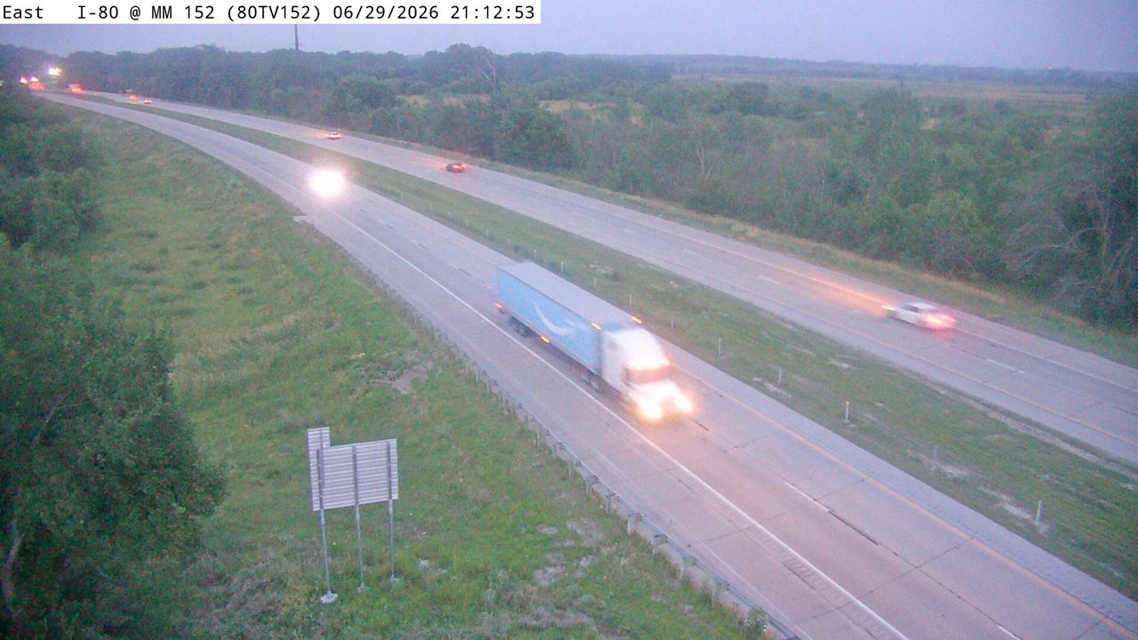 Not checked yetStill imageI-80 at MM 152.1
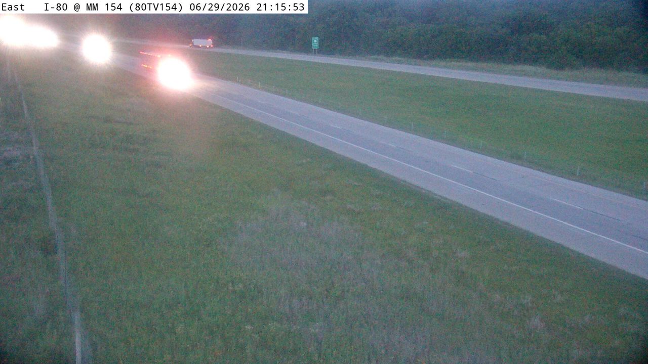 Not checked yetStill imageI-80 at MM 153.9
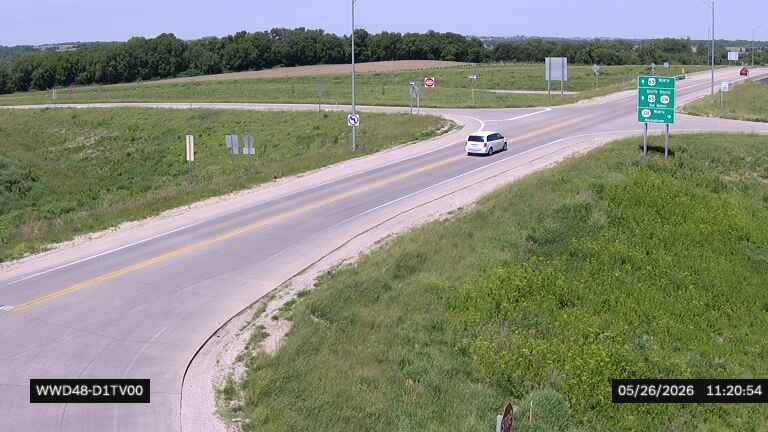 Not checked yetStill imageUS 65 at IA 330 near Mingo (48)
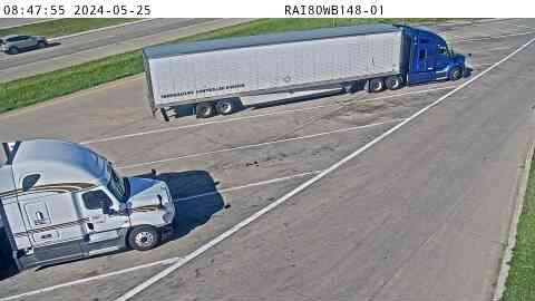 IntermittentStill imageRest Area: I-80 WB MM 148 near Mitchellville, exit view
No live video among these cameras. Turn off "Live video only" to see them all.
Best cams to watch
- Rest Area: I-80 WB MM 148 near Mitchellville, center view — Still image · every 5 min, working 100 % of the time in the last 30 days.
- Rest Area: I-80 WB MM 148 near Mitchellville, entry view — Still image · every 5 min, working 100 % of the time in the last 30 days.
- I-80 at MM 142.9 (E of US 65), Des Moines — Still image · every 5 min.
Altoona is a fast-growing suburb on the east side of the Des Moines metro area in Polk County, Iowa. Its 2020 census population was about 19,600, an increase of roughly a third in ten years. The town was platted in 1868 along the railroad, and its name comes from the Latin word for high, because the surveyor found it was the highest point on the Des Moines Valley line between Des Moines and Keokuk. Around 1900 it was close to a coal camp, with a busy local of the United Mine Workers.
Today most people know Altoona for fun. Adventureland, the state's big amusement and water park, sits beside the interstate, and Prairie Meadows runs live horse racing in summer next to its casino. The Outlets of Des Moines opened here in 2017, and large data centers have been built on the edges of town.
I-80 on the east side
The cameras on this page are Iowa Department of Transportation views, the ones shared on the state's 511 traveler site. Most are traffic cameras on the freeway, and some belong to road-weather stations that measure air and pavement temperatures alongside the camera. Interstate 80 runs right through Altoona on the east side of the metro, and U.S. Route 65 skirts the town as part of the eastern bypass of Des Moines. Expect still images updated every few minutes that show traffic around the interchanges, construction work, and the state of the pavement.
Picture times here are Central, the same as Des Moines and Chicago. Iowa winters bring snow, blizzards and wind chills well below zero, and the road-weather views are handy for checking conditions before driving across the state on I-80. In summer, evening traffic picks up near the parks on weekends, and in late June it stays light until nearly nine. Spring and early summer can bring severe thunderstorms and the occasional tornado warning.
Downtown Des Moines and the Iowa State Capitol, with its gold dome, are about fifteen minutes west, and the Iowa State Fairgrounds lie between the two.
Sources: Altoona, Iowa - Wikipedia · U.S. Census Bureau QuickFacts: Altoona city, Iowa · Iowa 511 traveler information.
Nearby places
- North Peoria (554)
- Peoria (553)
- East Peoria (340)
- Cedar Rapids (104)
- Des Moines (103)
- Council Bluffs (101)
- West Des Moines (95)
- Pekin (93)
Questions about Altoona
How many webcams can I watch in Altoona?
LiveLocation lists 30 cameras in and around Altoona, United States: 0 live video, 30 still images. 2 of them were live or showing a fresh image at the last check.
Who runs the cameras in Altoona?
All of them come from Iowa DOT (30). Each camera plays straight from the agency or owner that runs it, with credit. Iowa DOT
What can I see on the Altoona cameras?
The views are traffic and highway (29) and pass and road weather (1). Good ones to start with: Rest Area: I-80 WB MM 148 near Mitchellville, center view and Rest Area: I-80 WB MM 148 near Mitchellville, entry view. Rest Area: I-80 WB MM 148 near Mitchellville, center view Rest Area: I-80 WB MM 148 near Mitchellville, entry view
Can I watch live video from Altoona?
Not yet: the cameras here send still images that refresh about every 5 minutes. The map can show only live-video cameras nearby. Live video on the map
What time is it in Altoona, and when is it light?
Altoona is on America/Chicago time. On October 7 the sun rises at 7:17 AM and sets at 6:45 PM, so still images are clearest between those times. Road cameras show the most traffic in the weekday morning and evening rush hours.
Which places near Altoona also have cameras?
The nearest are Des Moines (8.0 mi away, 103 cameras), Ankeny (9.4 mi away, 80 cameras) and Johnston (12 mi away, 15 cameras). Des Moines Ankeny Johnston
How can I see the Altoona cameras on a map?
The map at the top of this page shows all 30 of them. The live camera radar centers on Altoona and lists every camera within 5 to 250 miles, nearest first, with filters for live video, traffic, nature and more. Open the radar on Altoona
Place names and locations: GeoNames, licensed under CC BY 4.0.