Live cameras in Redding, United States
42 cameras: 0 live video, 42 still images · 40 working now · updated Oct 8, 03:31 UTC
Redding has 42 live cameras on LiveLocation right now: 0 live video, 42 still images. Good places to start: I-5 BassMtn, Redding, I-5 Fawndale, Redding, I-5 Lakehead, Lakehead. Local time is 8:31 PM (America/Los Angeles). Today the sun rises at 7:12 AM and sets at 6:42 PM.
Redding live cameras
Redding live cameras, all in one place: 0 live video, 42 still images. 40 of them were live or fresh at the last check. Redding is home to about 92,000 people.
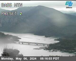 WorkingStill imageI-5 BassMtn, Redding
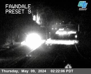 WorkingStill imageI-5 Fawndale, Redding
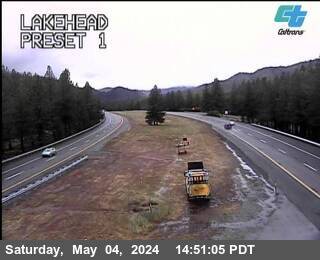 WorkingStill imageI-5 Lakehead, Lakehead
 WorkingStill imageI-5 Wilcox Rd SB, Red Bluff
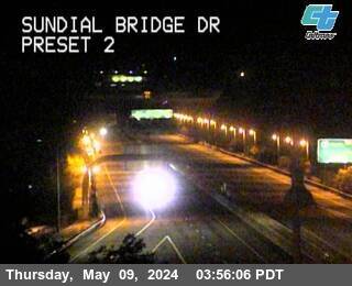 WorkingStill imageSR-44 Sundial Bridge, Redding
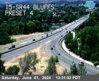 WorkingStill imageI-5 I5-SR44 Bluffs, Redding
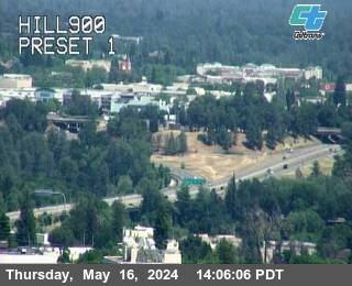 WorkingStill imageSR-299 Hill900, Redding
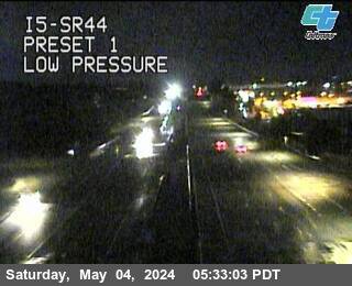 WorkingStill imageI-5 I5-SR44, Redding
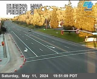 WorkingStill imageSR-299 Eureka Way, Redding
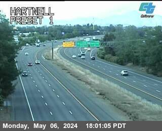 WorkingStill imageI-5 Hartnell, Redding
 WorkingStill imageI-5 I5-SR299, Redding
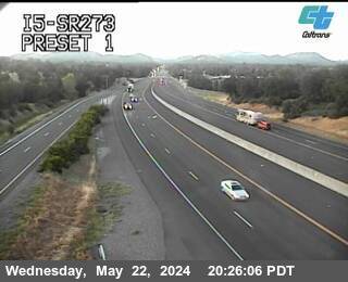 WorkingStill imageI-5 I5-SR273, Redding
 WorkingStill imageI-5 South Bonnyview, Redding
 WorkingStill imageSR-273 Clear Creek, Redding
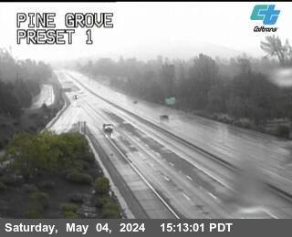 WorkingStill imageI-5 Pine Grove, Shasta Lake
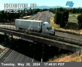 WorkingStill imageI-5 Knighton Rd, Redding
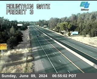 WorkingStill imageI-5 Mountain Gate, Redding
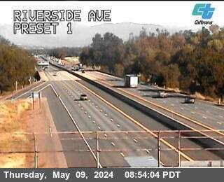 WorkingStill imageI-5 Riverside Ave, Anderson
 WorkingStill imageI-5 Wonderland, Redding
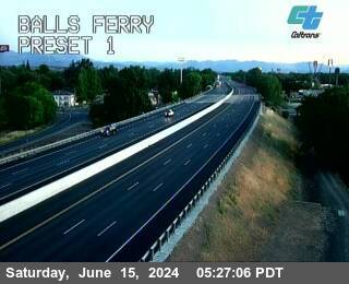 WorkingStill imageI-5 Balls Ferry, Anderson
 WorkingStill imageSR-273 Barney Rd, Redding
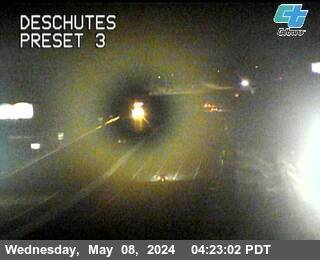 WorkingStill imageI-5 Deschutes, Anderson
 WorkingStill imageI-5 Pit River Bridge, Redding
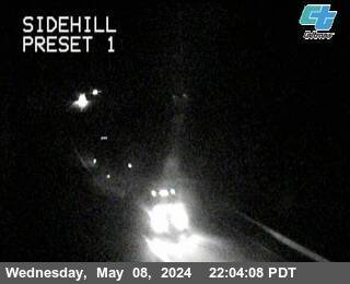 WorkingStill imageI-5 Sidehill, Lakehead
 WorkingStill imageI-5 Obrien, Lakehead
 WorkingStill imageI-5 Bowman Rd, Cottonwood
 WorkingStill imageI-5 Cottonwood Truck Scales, Cottonwood
 WorkingStill imageI-5 Sacramento Hill, Lakehead
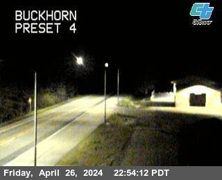 WorkingStill imageSR-299 Buckhorn, Lewiston
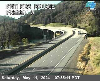 WorkingStill imageI-5 Antlers Bridge, Lakehead
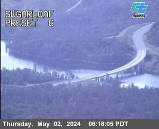 WorkingStill imageI-5 Sugarloaf, Lakehead
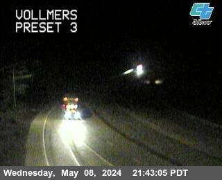 WorkingStill imageI-5 Vollmers, Lakehead
 WorkingStill imageI-5 Jellys Ferry, Red Bluff
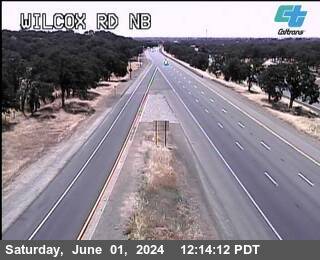 WorkingStill imageI-5 Wilcox Rd NB, Red Bluff
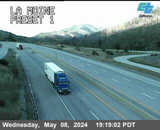 WorkingStill imageI-5 La Moine, Lakehead
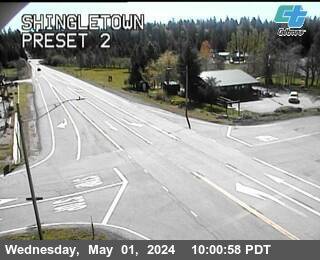 WorkingStill imageSR-44 Shingletown, Shingletown
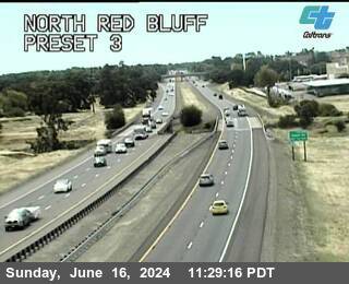 WorkingStill imageI-5 North Red Bluff, Red Bluff
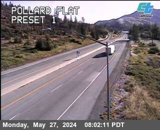 WorkingStill imageI-5 Pollard Flat, Lakehead
 WorkingStill imageI-5 Red Bluff, Red Bluff
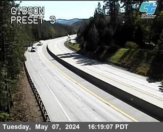 WorkingStill imageI-5 Gibson, Castella
 OfflineStill imageSR-299 Lake Blvd, Redding
 OfflineStill imageI-5 Salt Creek, Lakehead
No live video among these cameras. Turn off "Live video only" to see them all.
Best cams to watch
- I-5 BassMtn, Redding — Still image · every 5 min, working 100 % of the time in the last 30 days.
- I-5 Fawndale, Redding — Still image · every 5 min, working 100 % of the time in the last 30 days.
- I-5 Lakehead, Lakehead — Still image · every 5 min, working 100 % of the time in the last 30 days.
Redding is the county seat of Shasta County and the largest city in far Northern California, with about 93,600 residents at the 2020 census. It lies on the Sacramento River at the northern end of the Sacramento Valley, about 162 miles north of Sacramento and roughly 120 miles south of the Oregon border, ringed by mountains on three sides. The city's signature landmark is the Sundial Bridge at Turtle Bay, a glass-decked pedestrian bridge by Santiago Calatrava whose tall pylon serves as a giant sundial over the river. Riverside trails, the Turtle Bay Exploration Park and quick access to lakes and forests make Redding a base for outdoor trips. In 2018 the Carr Fire burned into the city's western neighborhoods, destroying more than a thousand buildings and taking eight lives.
Interstate 5 and the mountain routes
These are Caltrans cameras from the California Department of Transportation. Redding is where several main routes meet: Interstate 5, the West Coast's main north-south freeway, runs through the city, State Route 299 heads west toward Weaverville and the coast and east toward Burney, State Route 44 leads east to Lassen Volcanic National Park, and State Route 273 follows the older valley route. Because our map gives each camera to its nearest place, this page can include views on these highways beyond the city, valuable when winter storms reach the mountain passes. Each picture is a periodic still that Caltrans updates.
Northern California clocks follow Pacific Time, an hour ahead in the warm half of the year. It is known for some of the hottest summers in the state: afternoons above 100 degrees Fahrenheit are common, and the record high is 119 degrees, set on July 6, 2024. Winters are cool and rainy in town while snow falls on the surrounding mountains. Summer evenings stay bright until nearly 8:45, and in midwinter dusk comes before 5. Summer and early autumn are also wildfire season, when smoke can haze the view.
Shasta Dam and Shasta Lake, California's largest reservoir, lie just north of the city, with snowy Mount Shasta visible farther up Interstate 5 on clear days.
Sources: Redding, California - Wikipedia · Caltrans Quickmap.
Nearby places
- San Francisco (276)
- Richmond (175)
- Oakland (172)
- Berkeley (171)
- Sacramento (157)
- Alameda (155)
- Arden-Arcade (110)
- Albany (97)
Questions about Redding
How many live cameras are there in Redding?
LiveLocation lists 42 cameras in and around Redding, United States: 0 live video, 42 still images. 40 of them were live or showing a fresh image at the last check.
Who runs the cameras in Redding?
All of them come from Caltrans (42). Each camera plays straight from the agency or owner that runs it, with credit. Caltrans
What can I see on the Redding cameras?
All of them show traffic and highway (42). Good ones to start with: I-5 BassMtn, Redding and I-5 Fawndale, Redding. I-5 BassMtn, Redding I-5 Fawndale, Redding
Can I watch live video from Redding?
Not yet: the cameras here send still images that refresh about every 16 minutes. The map can show only live-video cameras nearby. Live video on the map
What time is it in Redding, and when is it light?
Redding is on America/Los Angeles time. On October 7 the sun rises at 7:12 AM and sets at 6:42 PM, so still images are clearest between those times. Road cameras show the most traffic in the weekday morning and evening rush hours.
Which places near Redding also have cameras?
The nearest are Chico (66 mi away, 20 cameras), Oroville (86 mi away, 2 cameras) and Bayside (89 mi away, 14 cameras). Chico Oroville Bayside
How can I see the Redding cameras on a map?
The map at the top of this page shows all 42 of them. The live camera radar centers on Redding and lists every camera within 5 to 250 miles, nearest first, with filters for live video, traffic, nature and more. Open the radar on Redding
Place names and locations: GeoNames, licensed under CC BY 4.0.