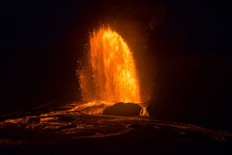
Watching a volcano live is one of the most extraordinary things the internet offers: lava fountains at night, a lake of molten rock, steam rolling off a crater, snow and ash on a remote Alaskan peak. Most of the time, though, a volcano cam shows a quiet, steaming landscape, and that is what it is supposed to show. This guide explains where the official cameras are, how to read the alert levels, how to tell what you are looking at, and it shows live picks from our map.
Live volcano cameras on LiveLocation
These are volcano cameras from our map, sorted with the most reliable official sources first. Each card shows whether the camera is live, a recent snapshot, or offline.
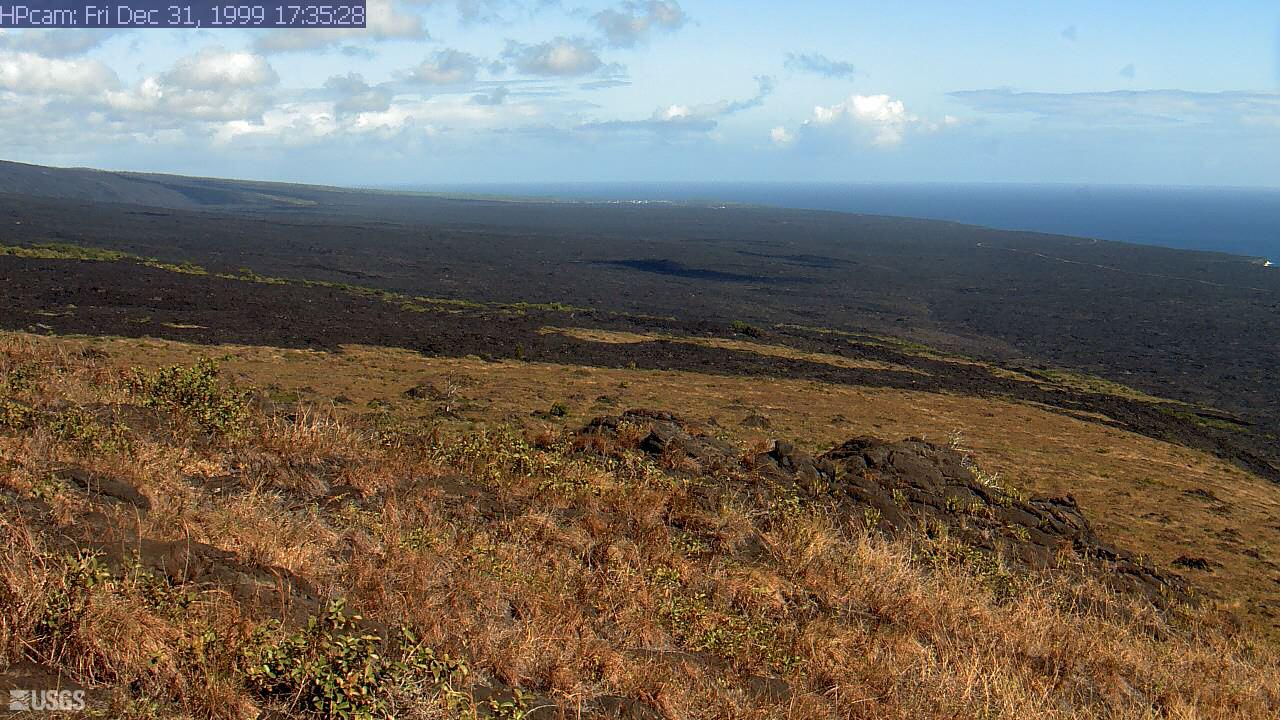 WorkingStill imageKīlauea: Hōlei Pali
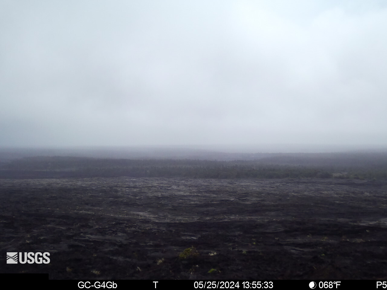 WorkingStill imageKīlauea upper East Rift Zone from Maunaulu
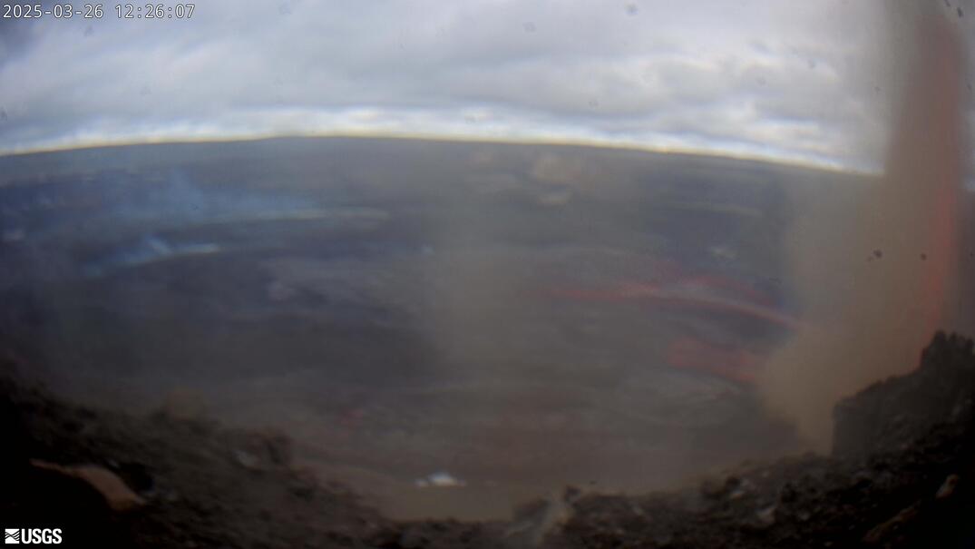 WorkingStill imageKīlauea: Halemaʻumaʻu and Kaluapele panorama
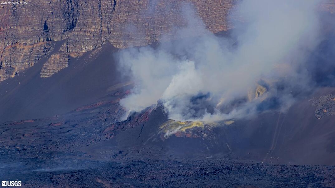 WorkingStill imageKīlauea summit: east Halemaʻumaʻu crater
 Live nowYouTube liveKīlauea volcano live: south Halemaʻumaʻu crater (USGS V3cam)
 Live nowYouTube liveKīlauea volcano live: east Halemaʻumaʻu crater (USGS V2cam)
See them all on the world map with the volcano filter, or find the nearest ones with near me.
Volcano alert levels explained
The USGS uses two parallel scales. The Volcano Alert Level is for people on the ground; the Aviation Color Code is for pilots, because ash in the air is dangerous to aircraft even when the ground is safe. They usually move together, but not always.
| Alert level | Meaning (ground) | Color code | Meaning (aviation) |
|---|---|---|---|
| Normal | Typical background, non-eruptive state; or activity has ceased after a higher level | Green | Same: non-eruptive background state |
| Advisory | Elevated unrest above known background; or activity has decreased significantly but is still closely monitored | Yellow | Same as Advisory |
| Watch | Heightened or escalating unrest with increased potential of eruption, timeframe uncertain; or an eruption is underway that poses limited hazards | Orange | Escalating unrest; or eruption underway with no or minor ash emissions |
| Warning | Hazardous eruption is imminent, underway or suspected | Red | Eruption imminent or underway with significant ash emission into the atmosphere likely or happening |
An eruption at Kīlauea’s summit, for example, can be at Watch / Orange: lava is erupting, but inside a closed crater with limited hazards. The current level of every US volcano is on the USGS Volcano Updates page; other countries use their own scales (Iceland, Italy and Japan each have one), so always read the local observatory’s notice.
The famous official volcano cams
Kīlauea, Hawaii (USGS Hawaiian Volcano Observatory)
The most watched volcano cams in the world. HVO runs a network of webcams around Kīlauea’s summit caldera, Kaluapele, and Halemaʻumaʻu crater, plus cameras on Mauna Loa and along the rift zones. Most of them take a still image every few minutes to save bandwidth; a few livestream real-time video. USGS describes three livestreaming summit cameras, V1cam, V2cam and V3cam, looking into Halemaʻumaʻu from the west, east and south rims, with streams on the USGS YouTube channel. During eruptive episodes these streams have shown lava fountains hundreds of meters high, and in quiet periods a steaming crater floor.
Alaska (Alaska Volcano Observatory)
The Alaska Volcano Observatory (a partnership of USGS, the University of Alaska Fairbanks Geophysical Institute and the state’s geological survey) runs webcams on many of Alaska’s volcanoes along the Aleutian arc, plus thermal and satellite monitoring. They are mostly still images, often shrouded in cloud, but when a volcano like Shishaldin, Great Sitkin or Pavlof is active they can show glow, ash plumes and fresh snowmelt. AVO’s color codes matter here: the North Pacific air routes pass right over these volcanoes.
Cascades and Yellowstone
The Cascades Volcano Observatory watches Mount St. Helens, Mount Rainier and the other Cascade volcanoes, and some webcams view them from a distance. In Yellowstone, the volcano itself is quiet, but the National Park Service’s webcams, including the famous Old Faithful view, show geysers erupting, and the Yellowstone Volcano Observatory publishes monitoring updates.
Beyond the United States
- Iceland: eruptions on the Reykjanes Peninsula since 2021 have been livestreamed by Icelandic media, while the Icelandic Meteorological Office issues the official hazard information.
- Italy: Etna and Stromboli are watched by the national institute INGV, whose observatory cameras show frequent Strombolian activity and Etna’s summit craters.
- Japan: Japan has 111 active volcanoes, and the Japan Meteorological Agency watches about 50 of them around the clock, many with observation cameras, including Sakurajima, which erupts many times a year.
- Mexico, Guatemala, Ecuador and others: national agencies and universities run cameras on volcanoes such as Popocatépetl and Fuego.
How to read what you see
| You see | It is probably |
|---|---|
| White, billowing cloud from a vent | Steam and volcanic gas: normal at many active volcanoes |
| Grey or brown plume, darker than clouds | Ash: check the alert level and aviation code |
| Orange glow at night | Hot lava or incandescent rock lighting the gas or crater walls |
| A bright, false-color picture (white, yellow, purple) | A thermal camera, which shows heat, not visible light; it sees through some gas and works at night |
| Nothing but grey | Cloud or fog at the camera, or rain on the lens |
| The same picture for hours | A frozen snapshot camera, or the station is offline; check the time stamp |
Snapshot cams and livestreams
Most observatory cameras are not video at all. They save a still image every one to a few minutes and send it over a radio or satellite link from a remote, often solar-powered station. That keeps power and bandwidth low enough to run for years on a mountainside, and it is plenty for scientists, who compare images over hours and days. Livestreams need much more bandwidth and are usually set up only where there is a good link and lots of public interest, such as Kīlauea’s summit. On LiveLocation, snapshot cameras are labeled with the age of the latest image, so you always know whether you are seeing “now” or “eight minutes ago”.
A short glossary for volcano watchers
- Caldera: a large basin formed when the ground collapses after magma drains away. Kīlauea’s summit caldera is called Kaluapele.
- Crater: a smaller bowl around a vent, like Halemaʻumaʻu inside Kaluapele.
- Fissure: a long crack from which lava erupts, often as a “curtain of fire”.
- Lava fountain: a jet of molten rock driven by expanding gas.
- Lava lake: a pool of molten lava in a crater, crusting over and breaking up.
- Strombolian activity: short bursts that throw glowing fragments, typical of Stromboli.
- Plume: the column of gas, steam or ash rising from a vent.
- Vog: volcanic smog, a haze of sulfur dioxide and particles that can drift far downwind.
- Episode: one burst of activity in a longer eruption; Kīlauea’s recent eruptions have come in episodes separated by pauses.
Tips for watching
- Watch at night. Lava glow is far more visible in darkness. Hawaii is 10 hours behind UTC, so a Hawaiian night is daytime in Europe.
- Read the time stamp. Observatory snapshots carry the time (often in local time or UTC). Our cards also show how old the image is.
- Be patient. Eruptions often pause for hours or days between episodes. The observatory’s updates usually say whether activity is building, so check them before staying up all night.
- Use thermal and visible together. When clouds hide the crater, the thermal camera often still shows the hot spots.
- Follow the observatory’s updates. USGS posts daily or weekly updates during activity, explaining what the cameras show.
- Beware fakes. Big eruptions attract channels that loop old footage or generated videos with “LIVE” in the title. Stick to observatory, park and established media sources. Our guide on telling real live streams from loops gives more clues.
Volcanoes from space
When clouds hide a volcano, satellites often see it anyway. Geostationary weather satellites such as GOES show big ash plumes within minutes, and daily satellite mosaics from NASA show lava flows, fires and ash clouds as heat and color. See Earth from space now and our Earth now page.
Why we only list official and owner-published cams
Volcano cameras are scientific instruments. We show USGS and other observatory images the way the observatories publish them, with credit, at their own refresh rates, and we never record or re-host them. Read more in How we choose cameras.
Do these next
- Check the alert level on the USGS Volcano Updates page.
- Open the map and turn on the volcano filter.
- See the best live cams right now in every category.
Questions people ask
Where can I watch a volcano live?
The USGS Hawaiian Volcano Observatory livestreams Ku012blauea’s summit crater on the USGS YouTube channel, and observatories in Alaska, Italy, Iceland and Japan publish webcams. LiveLocation shows official volcano cams on its map.
What do the volcano alert levels mean?
USGS uses Normal (background), Advisory (elevated unrest), Watch (escalating unrest or a limited eruption) and Warning (hazardous eruption imminent or underway), with aviation color codes Green, Yellow, Orange and Red.
Why is the volcano cam just grey?
Usually cloud, fog or rain at the camera. Try the thermal camera if there is one, or check back at another time.
Is the Ku012blauea cam live?
Some Ku012blauea cameras livestream real-time video on the USGS YouTube channel; most others take a still image every few minutes. Check the time stamp on each image.
Can a webcam warn me about an eruption?
No. Webcams can be clouded or offline. Follow the official volcano observatory and local emergency managers for warnings.
Sources
- USGS Volcano Hazards Program: Alert Level System (checked 2026-10-07)
- USGS HVO Volcano Watch: What are the Volcano Alert Level and Aviation Color Code? (checked 2026-10-07)
- USGS: Ku012blauea summit webcams (checked 2026-10-07)
- USGS HVO: Webcams (checked 2026-10-07)
- USGS YouTube channel: live streams (checked 2026-10-07)
- USGS Volcano Hazards Program: Volcano Updates (checked 2026-10-07)
- Alaska Volcano Observatory (checked 2026-10-07)
- NPS Yellowstone: Webcams (checked 2026-10-07)
Last reviewed October 7, 2026 by the LiveLocation team. General information, not legal or electrical advice.