Aleutian Islands live webcam – Buoy 46073: Southeast Bering Sea - 205 NM Wnw Of Dutch Harbor, AK
Working Still image · every hour Open ocean · Official source · What camera types mean
What you are looking at
Station 46073 is in the southeast Bering Sea, about 205 nautical miles west-northwest of Dutch Harbor, Alaska. It sits north of the Aleutian chain but beyond the edge of the broad Bering Sea shelf, over water about 3,445 meters (roughly 11,300 feet) deep. The 3-meter discus buoy belongs to the National Data Buoy Center.
The Bering Sea supports some of the busiest fisheries in the United States, from crab and pollock to cod, and the boats that work them out of Dutch Harbor need good warning of approaching storms. This buoy's wind speed, gusts and direction, air pressure, air and sea-surface temperature, and wave height and period help the National Weather Service forecast conditions for the fleet and for ships crossing the Bering Sea.
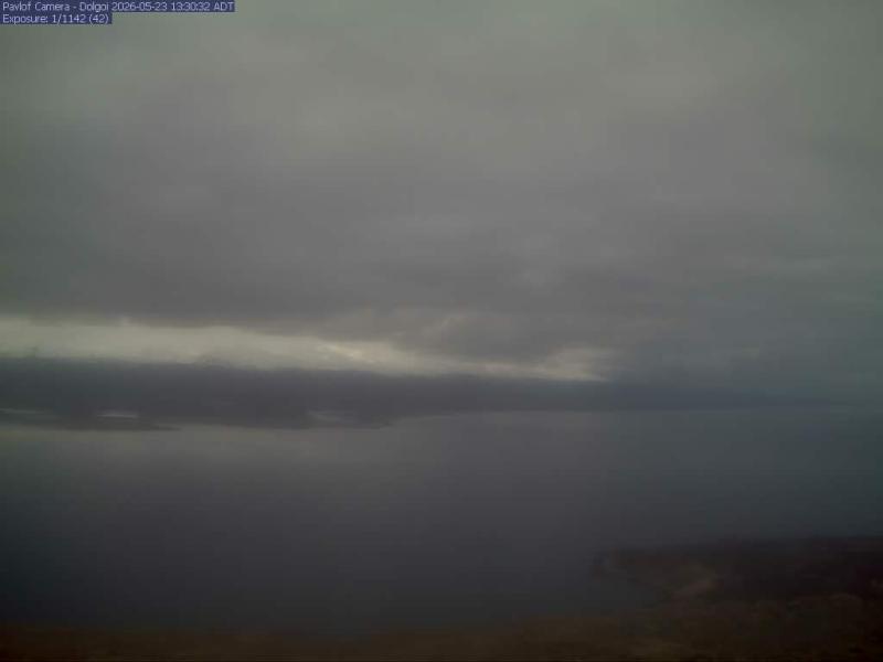
Expect open water and sky in the daylight photo strip, which is generally taken about hourly. Fall and winter storms can whip the sea into steep, breaking waves, and freezing spray is a real hazard for vessels in this region in the coldest months. Days are short in winter and long in summer, when fog and low overcast are common. The horizon tilts as the buoy moves.
Camera details
- Operator
- NOAA National Data Buoy Center
- Station ID
- 46073
- Station
- SOUTHEAST BERING SEA - 205 NM WNW of Dutch Harbor, AK
- Image size
- 2880 × 300 px (6 frames around the buoy)
- Daylight pictures only
- Yes
- Image updates
- Every hour
- Video format
- Still image (JPEG)
- Position
- Exact (from the provider)
- Licence
- U.S. public domain
- Data source
- NOAA NDBC BuoyCAMs
- Working, last 7 days
- 100 % of checks
From the provider's own camera list and our automatic checks. Readings and details can change without notice.
Where this Aleutian Islands live webcam is
Weather now in Aleutian Islands: 47 °F (8 °C), light rain, wind 34 mph (55 km/h) from the south. Forecast for 6 PM local time. Weather: MET Norway (CC BY 4.0)
Aleutian Islands is a place in Alaska, United States. The camera is about 222 mi from the center. Aleutian Islands keeps America/Adak time (UTC−9 at the moment); the panel above shows the local time live.
The Aleutian Islands curve west from the Alaska Peninsula for roughly 1,200 miles, a chain of 14 main volcanic islands and dozens of smaller ones that separate the Bering Sea from the North Pacific. The island groups run from the Fox Islands in the east through the Islands of Four Mountains, the Andreanof, Rat and Near Islands. Few people live here: the 2020 census counted about 7,150 residents in the…
On the map
Live cameras near Aleutian Islands
All Aleutian Islands live cameras · Camera radar centered here · More from NOAA BuoyCAMs
More from Aleutian Islands

Questions about Buoy 46073: Southeast Bering Sea - 205 NM Wnw Of Dutch Harbor, AK
Is Buoy 46073: Southeast Bering Sea - 205 NM Wnw Of Dutch Harbor, AK working right now?
Yes, it is working: at our last automatic check it was sending new pictures. It is a still image, not video: a new photo arrives about every 1 hour straight from NOAA National Data Buoy Center.
Who runs this camera?
NOAA National Data Buoy Center runs this camera. It is an official source. Its images are in the U.S. public domain. LiveLocation shows them straight from the source with credit. About NOAA BuoyCAMs Watch at the source
Where exactly is this camera?
It is about 222 mi from the center of Aleutian Islands, Alaska, United States. Coordinates: 54.985, -171.874. All cameras in Aleutian Islands
Is it day or night there now?
Aleutian Islands is in the America/Adak time zone. The "Right now" panel above shows the local time live. On October 7 the sun rises at 8:42 AM and sets at 7:47 PM there.
Are there more live cameras near Aleutian Islands?
No other camera is within 25 miles yet. The live camera radar can search up to 250 miles around this spot. Open the radar here
Why is the buoy picture dark or old?
No: NOAA BuoyCAMs take pictures only in daylight, so at night the last daytime image stays up. This is NOAA station 46073; its page also has the latest wind, wave and temperature readings. Station 46073 at NOAA
What are the conditions at Buoy 46073: Southeast Bering Sea - 205 NM Wnw Of Dutch Harbor, AK now?
The latest readings from the provider: Waves: 2.5 m / 8.2 ft, every 6 s from the S; Water: 9.2 °C / 48.6 °F; Air: 8.2 °C / 46.8 °F; Wind: 47 km/h / 29 mph from the SSE, gusts 58 km/h / 36 mph; Air pressure: 1,009.6 hPa / 29.81 inHg. They update with the provider's data, so they can be a few minutes old.