Live cameras in Indianola, United States
27 cameras: 0 live video, 27 still images · 6 working now · updated Oct 8, 03:36 UTC
Indianola has 27 live cameras on LiveLocation right now: 0 live video, 27 still images. Good places to start: I-35 at MM 52 (Co Rd G50), Des Moines, Rest Area: I-35 SB MM 33 near Osceola, car parking view, Rest Area: I-35 SB MM 33 near Osceola, north view. Local time is 10:36 PM (America/Chicago). Today the sun rises at 7:17 AM and sets at 6:46 PM.
Indianola live cameras
Indianola live cameras, all in one place: 0 live video, 27 still images. 6 were working at the last check. Indianola is home to about 15,000 people.
Weather now in Indianola: 58 °F (15 °C), clear sky, wind 4 mph (6 km/h) from the west. Forecast for 11 PM local time. Weather: MET Norway (CC BY 4.0)
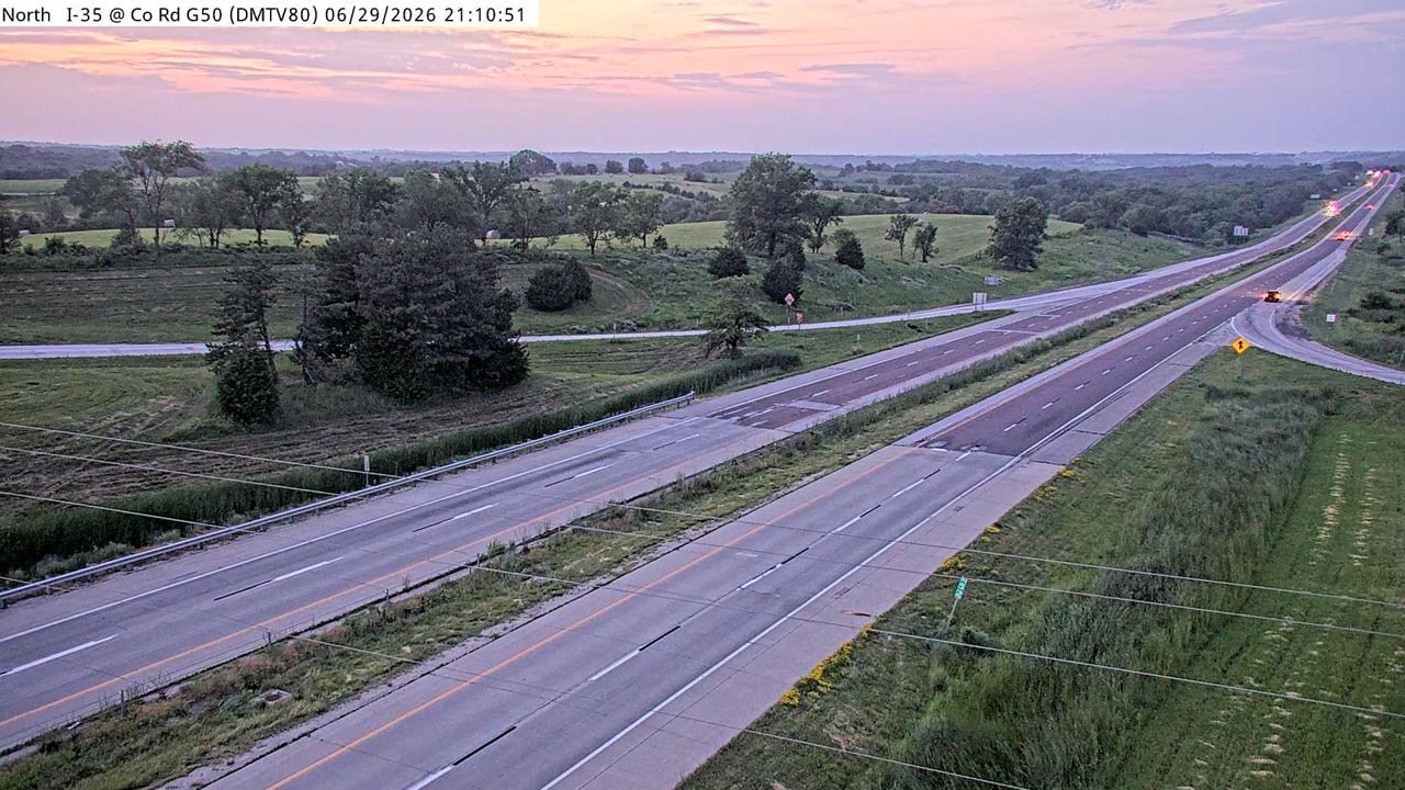 WorkingStill imageI-35 at MM 52 (Co Rd G50), Des Moines
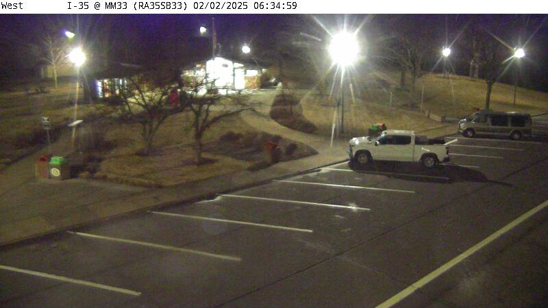 WorkingStill imageRest Area: I-35 SB MM 33 near Osceola, car parking view
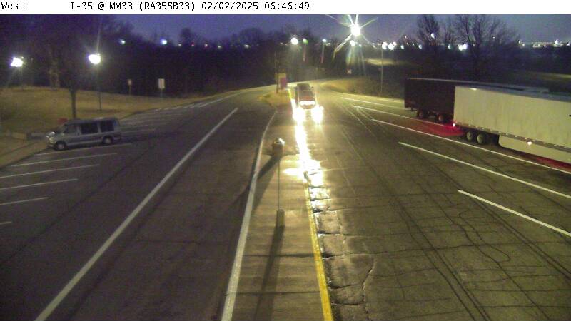 WorkingStill imageRest Area: I-35 SB MM 33 near Osceola, north view
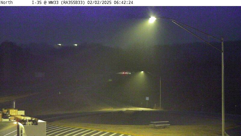 WorkingStill imageRest Area: I-35 SB MM 33 near Osceola, south view
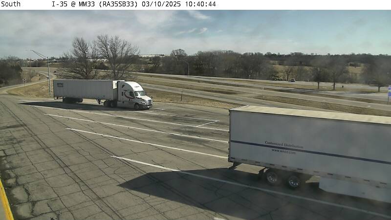 WorkingStill imageRest Area: I-35 SB MM 33 near Osceola
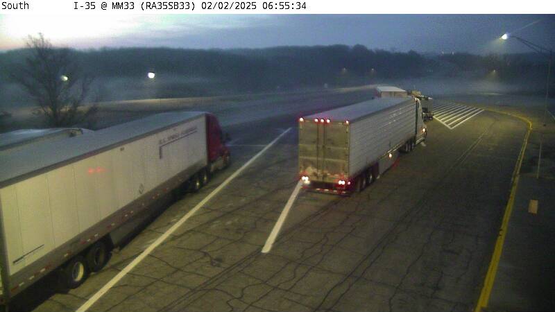 WorkingStill imageRest Area: I-35 SB MM 33 near Osceola
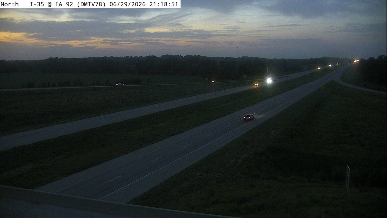 Not checked yetStill imageI-35 at MM 56.8 (IA 92), Des Moines
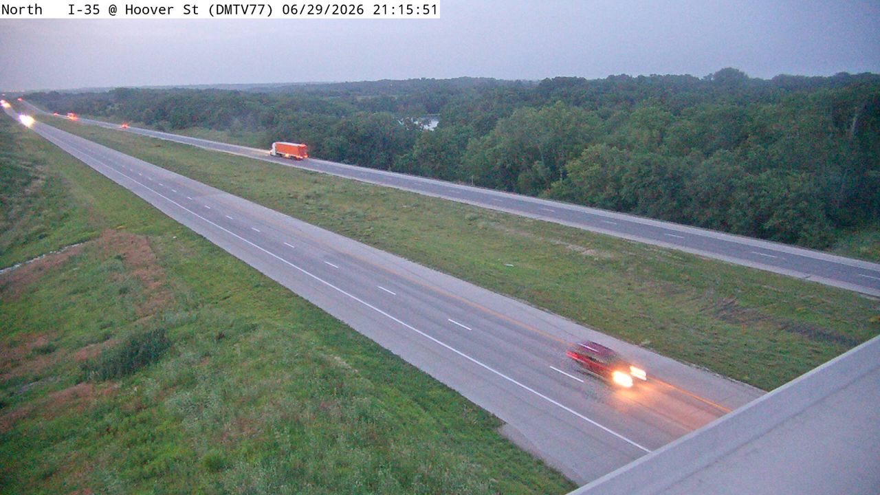 Not checked yetStill imageI-35 at MM 58.5 (Hoover St), Des Moines
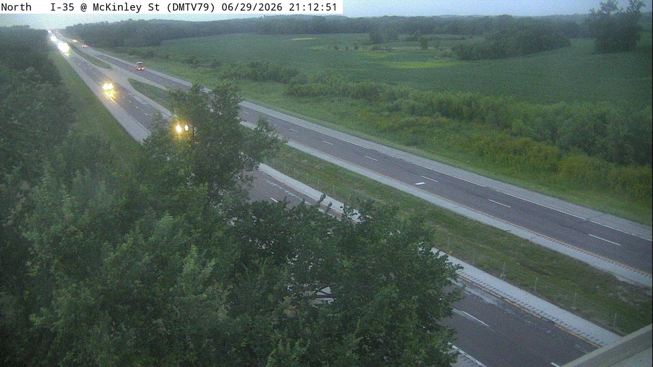 Not checked yetStill imageI-35 at MM 54.0 (McKinley St), Des Moines
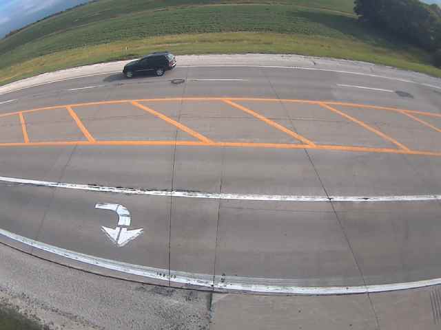 Not checked yetStill imageIA 92 MM 146 at Pleasantville
 Not checked yetStill imageUS 34 MM 115 at Osceola
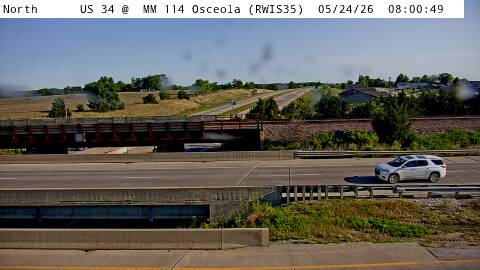 Not checked yetStill imageUS 34 MM 115 at Osceola
 Not checked yetStill imageUS 34 MM 115 at Osceola, view 2
 Not checked yetStill imageUS 34 MM 115 at Osceola, view 3
 Not checked yetStill imageUS 34 MM 115 at Osceola, view 4
 Not checked yetStill imageUS 34 MM 115 at Osceola, view 5
 Not checked yetStill imageUS 34 MM 115 at Osceola, view 6
 Not checked yetStill imageUS 34 MM 115 at Osceola, view 7
 Not checked yetStill imageI-35 at US 34 in Osceola (55)
 Not checked yetStill imageRest Area: I-35 NB MM 33 near Osceola, entrance view
 Not checked yetStill imageRest Area: I-35 NB MM 33 near Osceola, exit view
 Not checked yetStill imageRest Area: I-35 NB MM 33 near Osceola, spare view
 Not checked yetStill imageRest Area: I-35 NB MM 33 near Osceola
 Not checked yetStill imageRest Area: I-35 NB MM 33 near Osceola
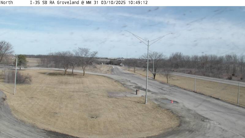 Not checked yetStill imageParking Only: I-35 SB MM 31 near Osceola, entrance view
 Not checked yetStill imageParking Only: I-35 SB MM 31 near Osceola, exit view
 Not checked yetStill imageParking Only: I-35 SB MM 31 near Osceola, parking view
No live video among these cameras. Turn off "Live video only" to see them all.
Best cams to watch
- I-35 at MM 52 (Co Rd G50), Des Moines — Still image · every 5 min, working 100 % of the time in the last 30 days.
- Rest Area: I-35 SB MM 33 near Osceola, car parking view — Still image · every 5 min, working 100 % of the time in the last 30 days.
- Rest Area: I-35 SB MM 33 near Osceola, north view — Still image · every 5 min.
Indianola is the county seat of Warren County, Iowa, a college town about nineteen miles south of downtown Des Moines. It was laid out in 1849 near the geographic center of the new county and borrowed its name from a newspaper story about a Texas town called Indianola. The 2020 census counted about 15,800 residents. Simpson College gives the town a lively, youthful feel during the school year, and the Summerset Trail, a paved path for walkers and cyclists, has its southern end here.
Two summer traditions put Indianola on the national map. The Des Moines Metro Opera stages its festival season in town each summer, and the National Balloon Classic fills the sky over Indianola with hot air balloons for nine days in late July and early August. The National Balloon Museum and the U.S. Ballooning Hall of Fame are also here.
Iowa DOT views around town
Indianola's camera list is supplied entirely by the Iowa Department of Transportation, whose 511 site publishes the same pictures. Some are ordinary traffic cameras, and some sit at road-weather stations, where a camera is paired with sensors that read pavement and air temperature so crews can judge ice and snow. U.S. Routes 65 and 69 run together through Indianola toward Des Moines, and Iowa Highway 92 crosses town from east to west. Expect a fresh snapshot every several minutes; nothing here streams like a video.
Clocks in Warren County follow Central Time and spring forward each March. In late June the sun sets close to nine in the evening, while in December it is dark before five. Winter is when these pictures earn their keep: blowing snow and freezing drizzle are common on open Iowa highways, and a quick look shows whether lanes are bare or white. Summer mornings bring fog in low spots and, now and then, a stray balloon drifting over the road.
Nearby, Des Moines and its southern suburbs are a short drive north, and Lake Ahquabi State Park lies just south of town.
Sources: Indianola, Iowa - Wikipedia · National Balloon Classic · Iowa 511 traveler information.
Nearby places
- North Peoria (554)
- Peoria (553)
- East Peoria (340)
- Cedar Rapids (104)
- Des Moines (103)
- Council Bluffs (101)
- West Des Moines (95)
- Pekin (93)
Questions about Indianola
How many webcams can I watch in Indianola?
LiveLocation lists 27 cameras in and around Indianola, United States: 0 live video, 27 still images. 6 of them were live or showing a fresh image at the last check.
Who runs the cameras in Indianola?
All of them come from Iowa DOT (27). Each camera plays straight from the agency or owner that runs it, with credit. Iowa DOT
What can I see on the Indianola cameras?
The views are traffic and highway (18) and pass and road weather (9). Good ones to start with: I-35 at MM 52 (Co Rd G50), Des Moines and Rest Area: I-35 SB MM 33 near Osceola, car parking view. I-35 at MM 52 (Co Rd G50), Des Moines Rest Area: I-35 SB MM 33 near Osceola, car parking view
Can I watch live video from Indianola?
Not yet: the cameras here send still images that refresh about every 7 minutes. The map can show only live-video cameras nearby. Live video on the map
What time is it in Indianola, and when is it light?
Indianola is on America/Chicago time. On October 7 the sun rises at 7:17 AM and sets at 6:46 PM, so still images are clearest between those times. Road cameras show the most traffic in the weekday morning and evening rush hours.
Which places near Indianola also have cameras?
The nearest are Des Moines (17 mi away, 103 cameras), West Des Moines (17 mi away, 95 cameras) and Clive (19 mi away, 42 cameras). Des Moines West Des Moines Clive
How can I see the Indianola cameras on a map?
The map at the top of this page shows all 27 of them. The live camera radar centers on Indianola and lists every camera within 5 to 250 miles, nearest first, with filters for live video, traffic, nature and more. Open the radar on Indianola
Place names and locations: GeoNames, licensed under CC BY 4.0.