Live cameras in Nanaimo, Canada
29 cameras: 0 live video, 29 still images · 29 working now · updated Oct 8, 03:31 UTC
Nanaimo has 29 live cameras on LiveLocation right now: 0 live video, 29 still images. Good places to start: Highway 1, Comox Road, looking south, Highway 1, Comox Road, looking west, Highway 1, Comox Road, looking east. Local time is 8:31 PM (America/Vancouver). Today the sun rises at 7:24 AM and sets at 6:41 PM.
Nanaimo live cameras
Nanaimo live cameras, all in one place: 0 live video, 29 still images. 29 of them were live or fresh at the last check. Nanaimo is home to about 91,000 people.
Weather now in Nanaimo: 16 °C (61 °F), mostly clear, wind 22 km/h (13 mph) from the west. Forecast for 9 PM local time. Weather: MET Norway (CC BY 4.0)
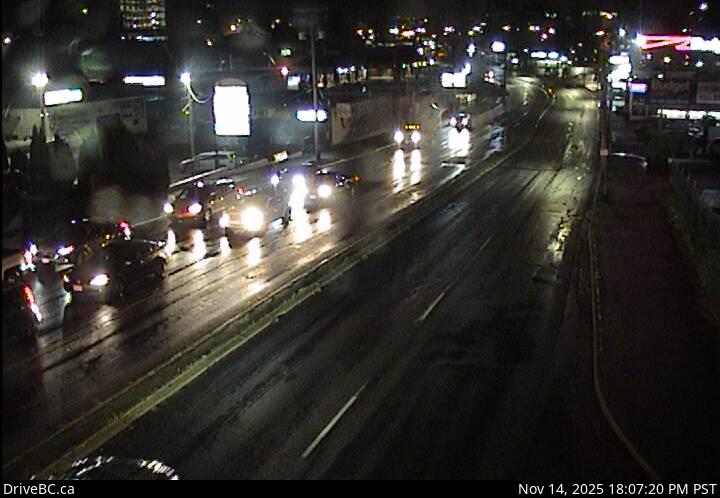 WorkingStill imageHighway 1, Comox Road, looking south
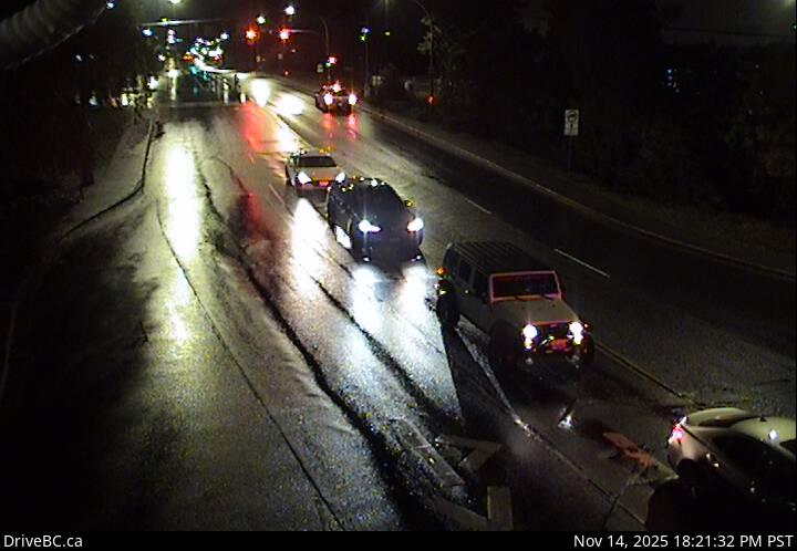 WorkingStill imageHighway 1, Comox Road, looking west
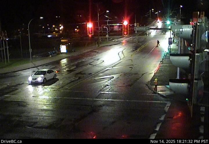 WorkingStill imageHighway 1, Comox Road, looking east
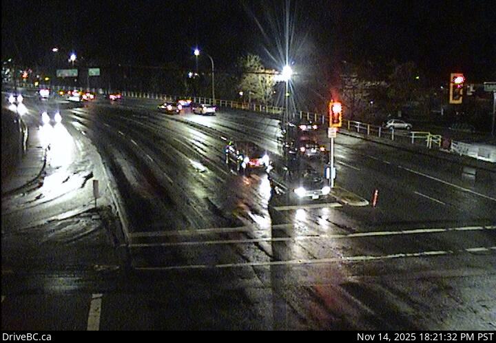 WorkingStill imageHighway 1, Comox Road, looking north
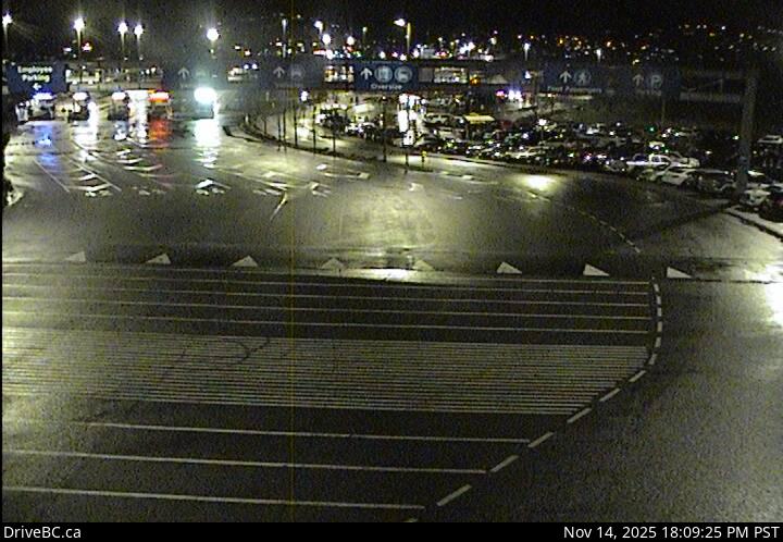 WorkingStill imageHighway 1, Departure Bay Ferry
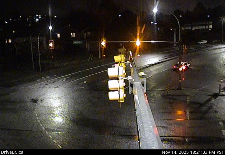 WorkingStill imageHighway 1, Departure Bay northbound
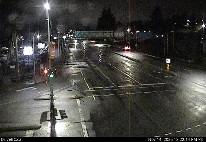 WorkingStill imageHighway 1, Departure Bay southbound
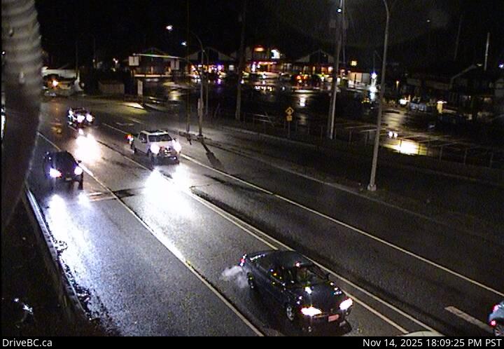 WorkingStill imageHighway 1, Departure Bay - Zorkin Road
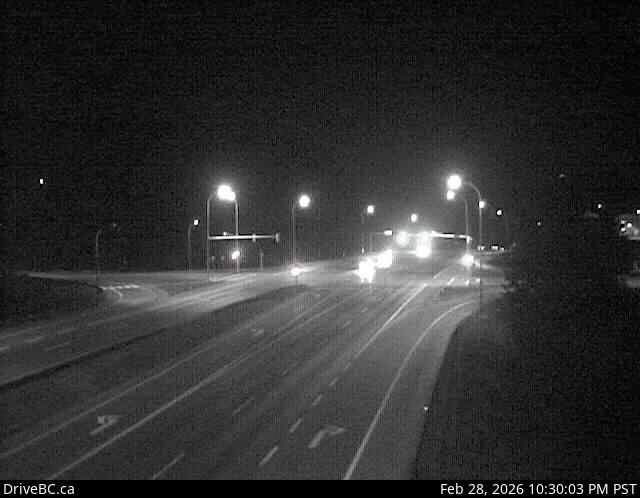 WorkingStill imageHighway 19, Nanaimo Parkway
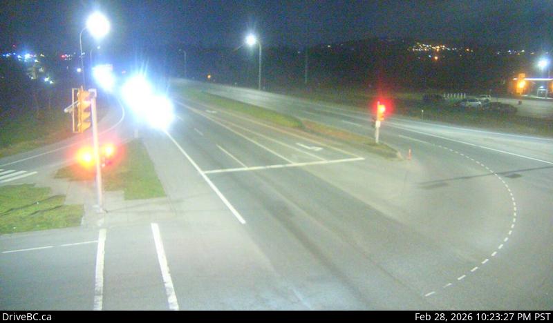 WorkingStill imageHighway 19, Northfield Road, looking south
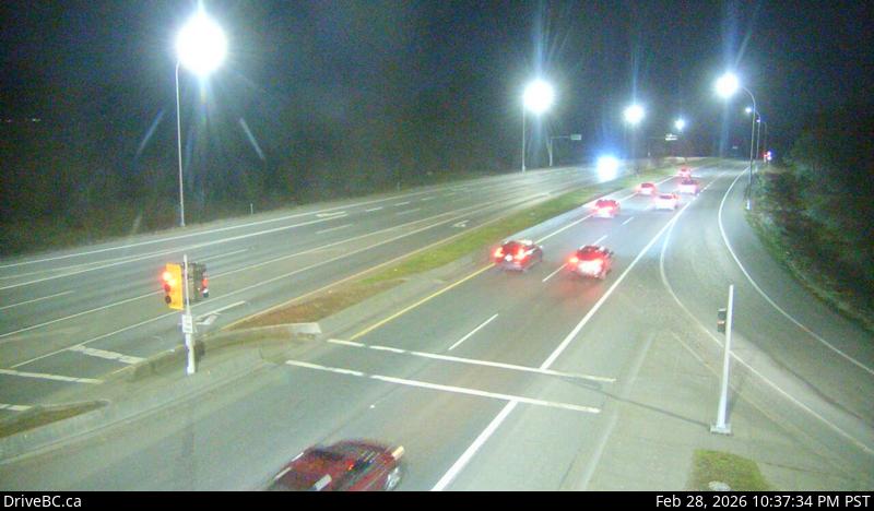 WorkingStill imageHighway 19, Northfield Road, looking north
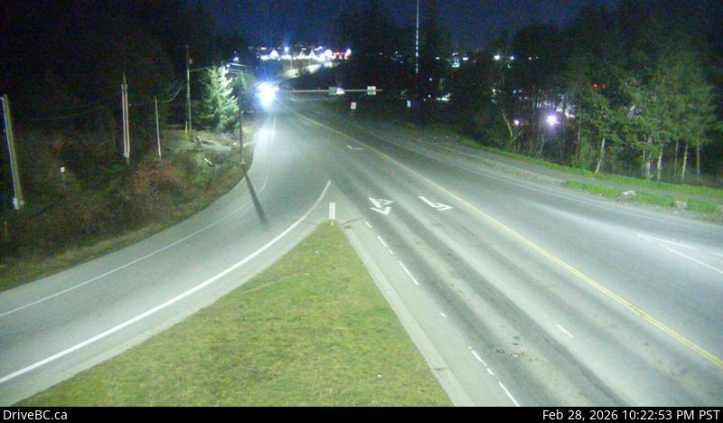 WorkingStill imageHighway 19, Northfield Road, looking east
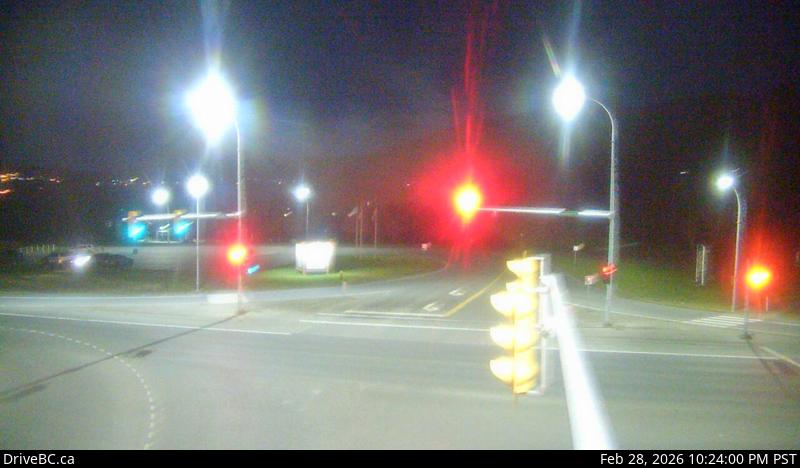 WorkingStill imageHighway 19, Northfield Road, looking west
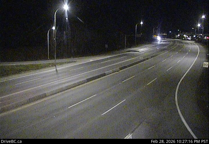 WorkingStill imageHighway 19, Aulds Road, looking north
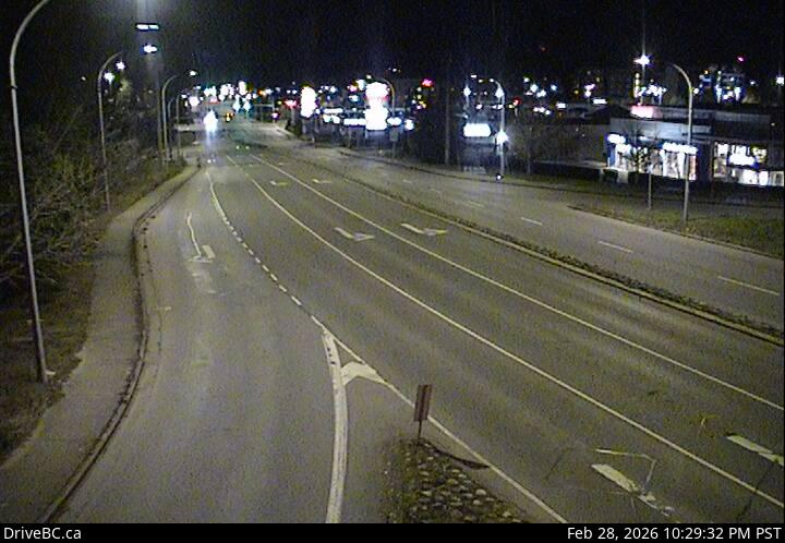 WorkingStill imageHighway 19, Aulds Road, looking east
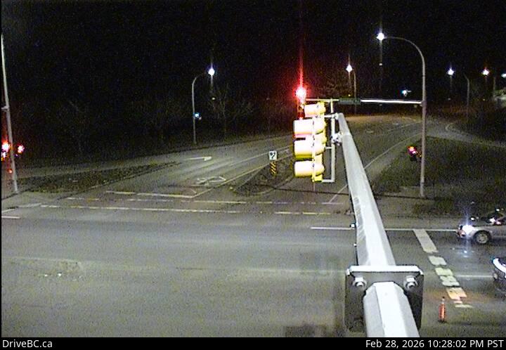 WorkingStill imageHighway 19, Aulds Road, looking west
 WorkingStill imageHighway 19, Aulds Road, looking south
 WorkingStill imageHighway 1, Nanaimo Airport, looking south
 WorkingStill imageHighway 1, Nanaimo Airport, looking north
 WorkingStill imageHighway 19, Lantzville, looking north
 WorkingStill imageHighway 19, Lantzville, looking south
 WorkingStill imageHighway 19, Nanoose Rest Area, looking north
 WorkingStill imageHighway 19, Nanoose Rest Area, looking south
 WorkingStill imageHighway 19, Nanoose Bay, looking east
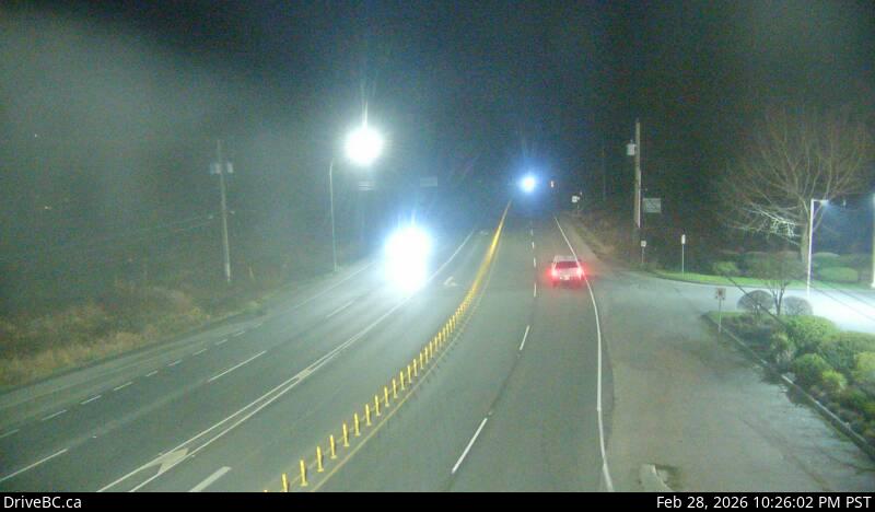 WorkingStill imageHighway 19, Nanoose Bay, looking north
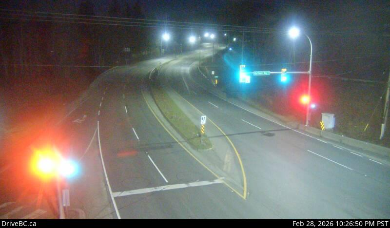 WorkingStill imageHighway 19, Nanoose Bay, looking south
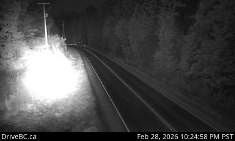 WorkingStill imageHighway 101, Trout Lake, looking west
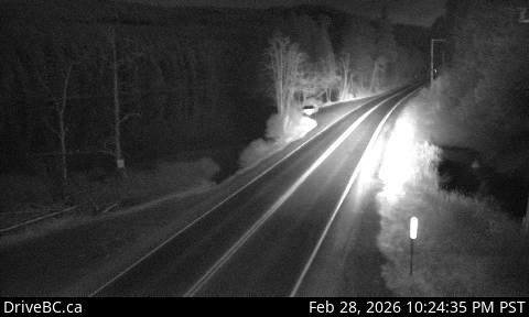 WorkingStill imageHighway 101, Trout Lake, looking east
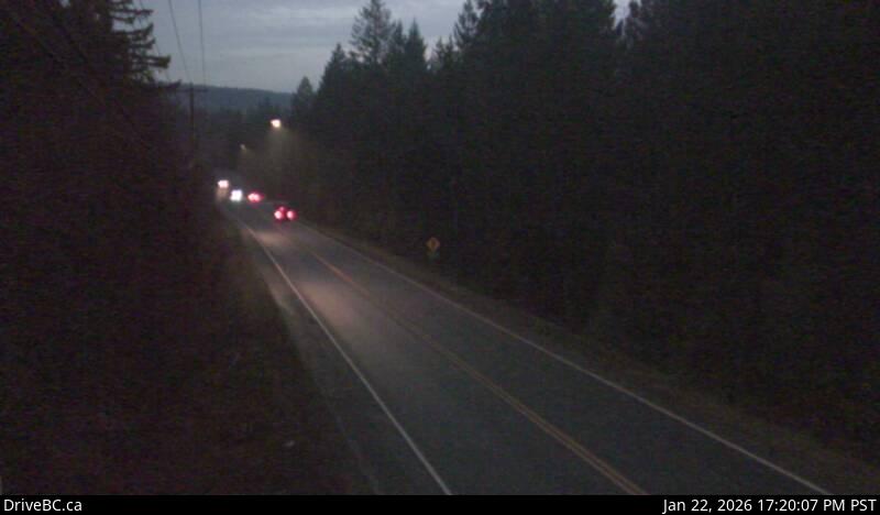 WorkingStill imageHighway 101, Halfmoon Bay
No live video among these cameras. Turn off "Live video only" to see them all.
Best cams to watch
- Highway 1, Comox Road, looking south — Still image · every 17 min, working 100 % of the time in the last 30 days.
- Highway 1, Comox Road, looking west — Still image · every 17 min, working 100 % of the time in the last 30 days.
- Highway 1, Comox Road, looking east — Still image · every 17 min, working 100 % of the time in the last 30 days.
Nanaimo is the Harbour City of Vancouver Island, on the island's east coast about fifty-five kilometers across the Strait of Georgia from Vancouver and a little over a hundred kilometers north of Victoria. Roughly 100,000 people lived in the city in 2021, and about 130,000 in the wider area. The name comes from the Snuneymuxw First Nation, whose people have lived here for thousands of years. The Hudson's Bay Company opened coal mines in the 1850s, and the wooden Bastion, a fort tower built in 1853, still stands above the harbor. Later the economy turned to lumber and pulp, and today the city is a service and transportation hub. It is famous for the no-bake Nanaimo bar and for its summer bathtub race around the harbor islands.
About the cameras
The cameras grouped under Nanaimo are DriveBC highway cameras, still images updated every few minutes. They watch the main routes through and around the city, including Highway 19, the Nanaimo Parkway bypass and the Island Highway heading north toward Parksville and Campbell River, and Highway 1, the Trans-Canada, which runs south toward Ladysmith and Victoria and ends at the Departure Bay ferry terminal. They help show traffic and road conditions for drivers heading to the ferries.
Nanaimo keeps Pacific Time. Two BC Ferries terminals shape the traffic: Departure Bay, with sailings to Horseshoe Bay in West Vancouver, and Duke Point, south of the city, with sailings to Tsawwassen. Traffic surges around sailing times, especially on Fridays and holiday weekends. Winters are mild and rainy with only occasional snow, though the highway over the Malahat to the south can be a different story. Summers are fairly dry and sunny.
Nearby, Newcastle Island, a provincial marine park with a Snuneymuxw name of Saysutshun, is a short foot-passenger ferry ride from downtown, and Gabriola Island lies just offshore.
Sources: Nanaimo - Wikipedia · DriveBC - British Columbia highway cameras · BC Ferries.
Nearby places
- Surrey (212)
- Fleetwood (126)
- Vancouver (120)
- New Westminster (111)
- Langley (107)
- Burnaby (102)
- Delta (78)
- Maple Ridge (76)
Questions about Nanaimo
How many cameras does LiveLocation have in Nanaimo?
LiveLocation lists 29 cameras in and around Nanaimo, Canada: 0 live video, 29 still images. 29 of them were live or showing a fresh image at the last check.
Who runs the cameras in Nanaimo?
All of them come from DriveBC (29). Each camera plays straight from the agency or owner that runs it, with credit. DriveBC
What can I see on the Nanaimo cameras?
All of them show traffic and highway (29). Good ones to start with: Highway 1, Comox Road, looking south and Highway 1, Comox Road, looking west. Highway 1, Comox Road, looking south Highway 1, Comox Road, looking west
Can I watch live video from Nanaimo?
Not yet: the cameras here send still images that refresh about every 15 minutes. The map can show only live-video cameras nearby. Live video on the map
What time is it in Nanaimo, and when is it light?
Nanaimo is on America/Vancouver time. On October 7 the sun rises at 7:24 AM and sets at 6:41 PM, so still images are clearest between those times. Road cameras show the most traffic in the weekday morning and evening rush hours.
Which places near Nanaimo also have cameras?
The nearest are Harewood (2.2 km away, 13 cameras), North Cowichan (41 km away, 9 cameras) and Duncan (46 km away, 11 cameras). Harewood North Cowichan Duncan
How can I see the Nanaimo cameras on a map?
The map at the top of this page shows all 29 of them. The live camera radar centers on Nanaimo and lists every camera within 5 to 250 km, nearest first, with filters for live video, traffic, nature and more. Open the radar on Nanaimo
Place names and locations: GeoNames, licensed under CC BY 4.0.