Live cameras in Saanich, Canada
63 cameras: 0 live video, 63 still images · 63 working now · updated Oct 8, 03:31 UTC
Saanich has 63 live cameras on LiveLocation right now: 0 live video, 63 still images. Good places to start: Highway 17, Sayward Road, looking south, Highway 17, Sayward Road, looking north, Highway 17, Sayward Road, looking east. Local time is 8:31 PM (America/Vancouver). Today the sun rises at 7:22 AM and sets at 6:40 PM.
Saanich live cameras
Every Saanich live camera we know of: 0 live video, 63 still images. 63 of them were live or fresh at the last check. Saanich is home to about 118,000 people.
Weather now in Saanich: 12 °C (53 °F), fog, wind 10 km/h (6 mph) from the south. Forecast for 9 PM local time. Weather: MET Norway (CC BY 4.0)
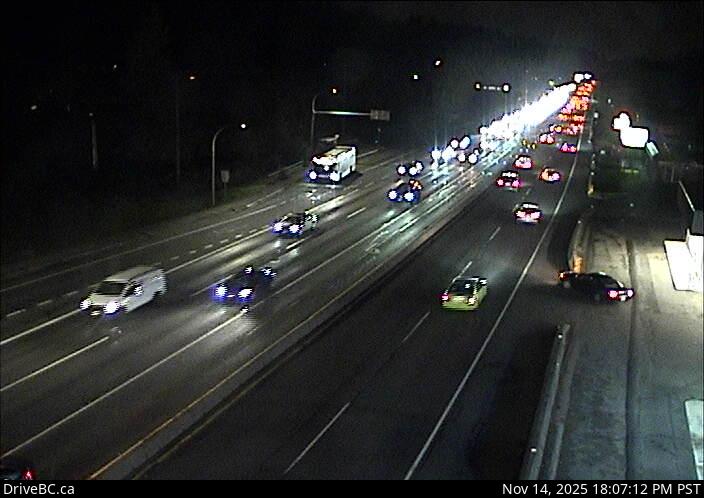 WorkingStill imageHighway 17, Sayward Road, looking south
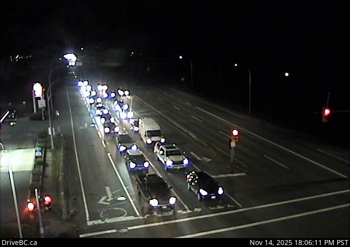 WorkingStill imageHighway 17, Sayward Road, looking north
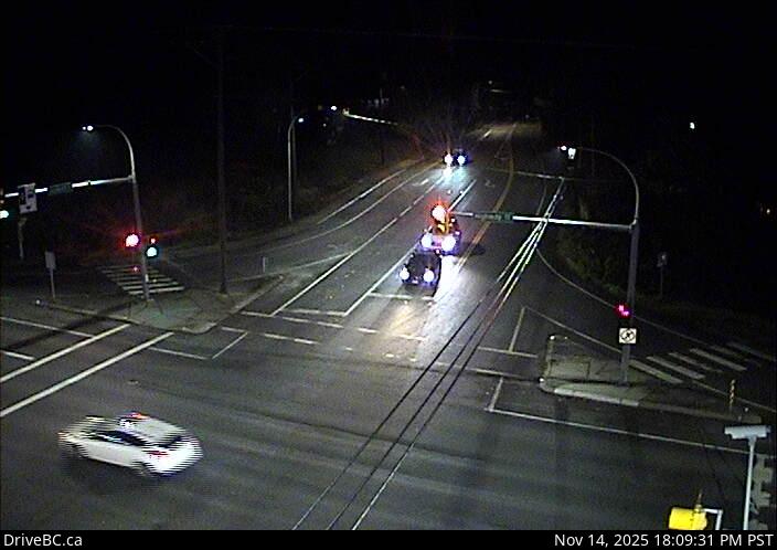 WorkingStill imageHighway 17, Sayward Road, looking east
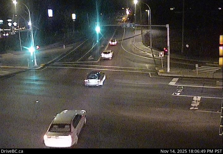 WorkingStill imageHighway 17, Mt Newton Cross Road, looking west
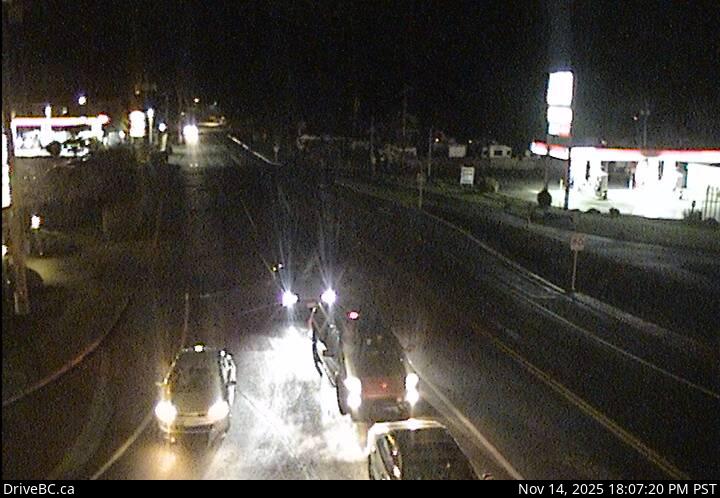 WorkingStill imageHighway 17, Mt Newton Cross Road, looking east
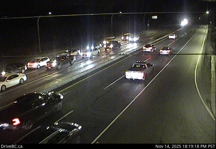 WorkingStill imageHighway 17, Mt Newton Cross Road, looking north
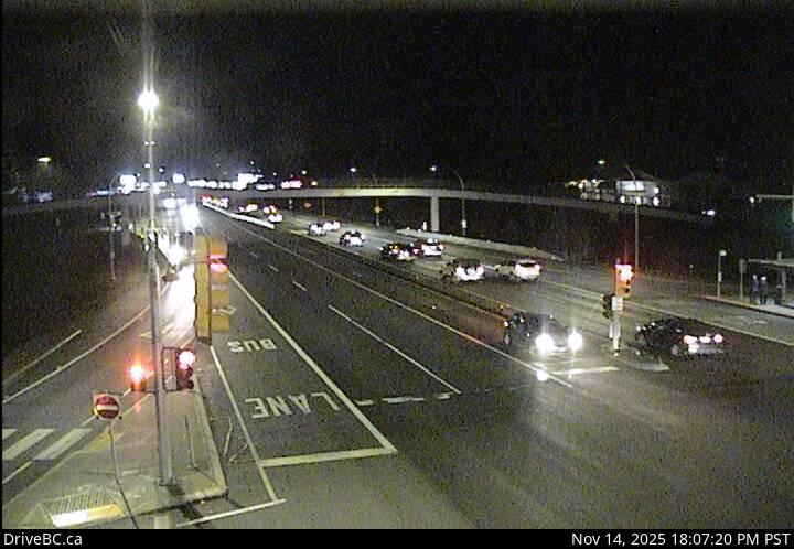 WorkingStill imageHighway 17, Mt Newton Cross Road, looking south
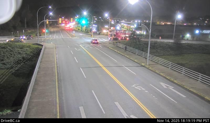 WorkingStill imageHighway 17, Royal Oak, looking east
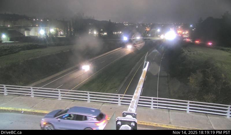 WorkingStill imageHighway 17, Royal Oak, looking south
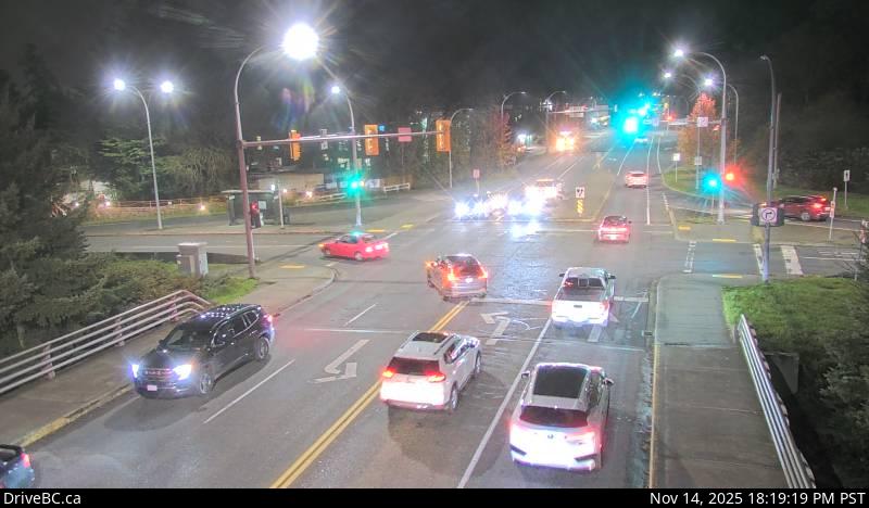 WorkingStill imageHighway 17, Royal Oak, looking west
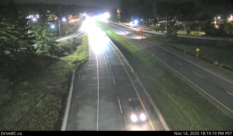 WorkingStill imageHighway 17, Royal Oak, looking north
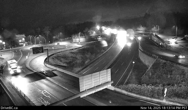 WorkingStill imageHighway 17, McTavish Road, looking south
 WorkingStill imageHighway 17, McTavish Road, looking north
 WorkingStill imageHighway 17, Ravine Way, looking south
 WorkingStill imageHighway 17, Ravine Way, looking west
 WorkingStill imageHighway 17, Ravine Way, looking north
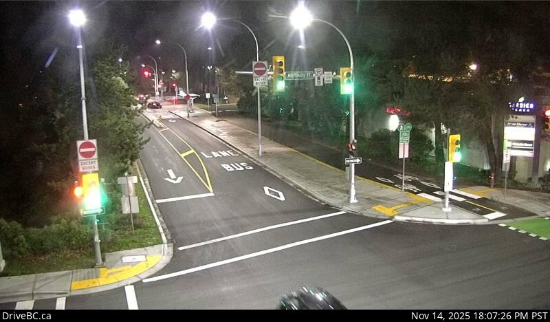 WorkingStill imageHighway 17, Ravine Way, looking east
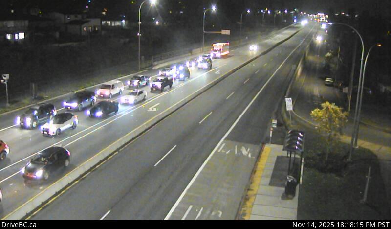 WorkingStill imageHighway 1, Tillicum, looking east
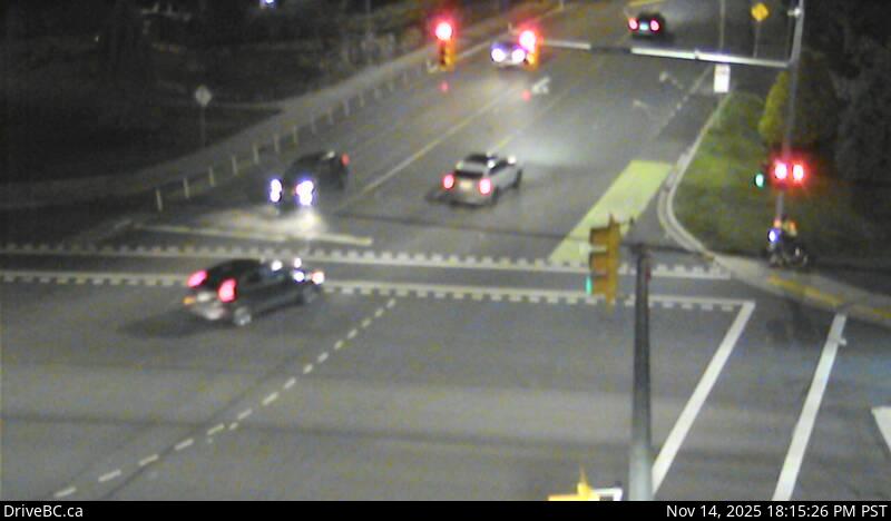 WorkingStill imageHighway 1, Tillicum, looking north
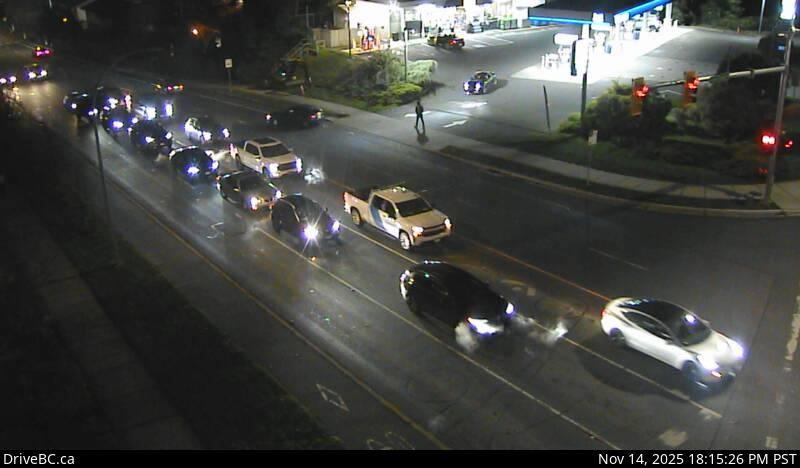 WorkingStill imageHighway 1, Tillicum, looking south
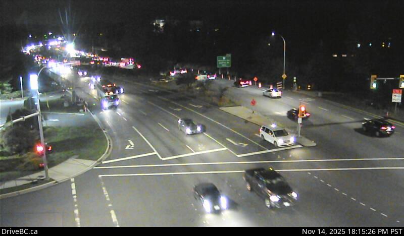 WorkingStill imageHighway 1, Tillicum, looking west
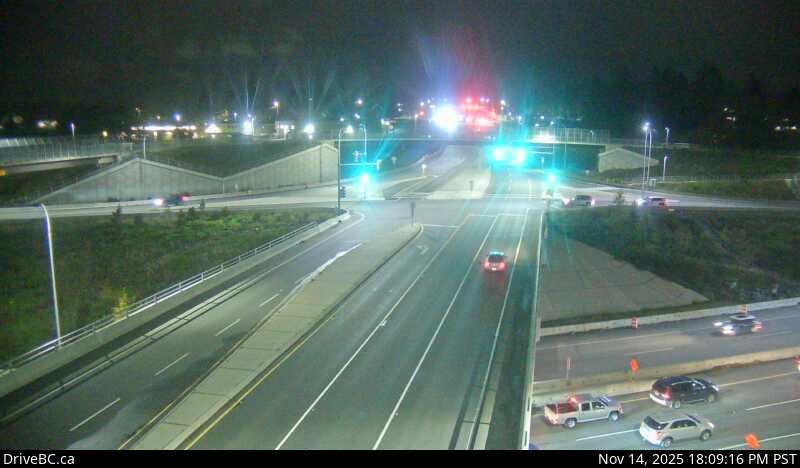 WorkingStill imageHighway 1, Admirals-McKenzie, looking north
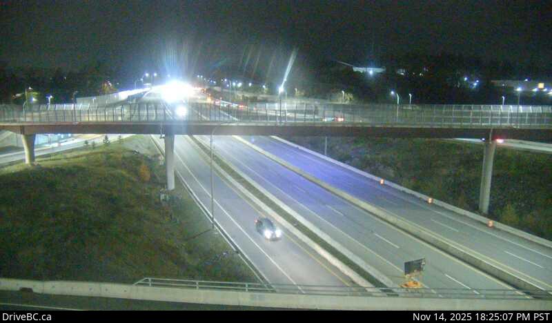 WorkingStill imageHighway 1, Admirals-McKenzie, looking west
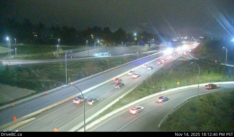 WorkingStill imageHighway 1, Admirals-McKenzie, looking east
 WorkingStill imageHighway 1, Admirals-McKenzie, looking south
 WorkingStill imageHighway 17, Hwy 17 at Saanich Road 2, looking east
 WorkingStill imageHighway 17, Hwy 17 at Saanich Road 2, looking north
 WorkingStill imageHighway 17, Hwy 17 at Saanich Road 2, looking west
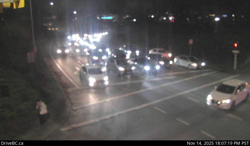 WorkingStill imageHighway 17, Hwy 17 at Saanich Road 2, looking south
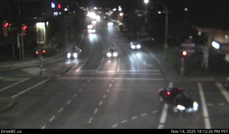 WorkingStill imageHighway 17, Hwy 17 at Saanich Road 1, looking north
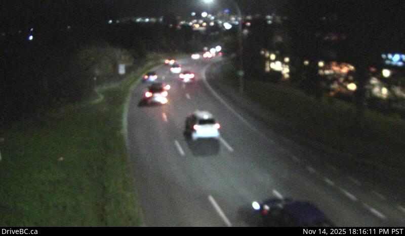 WorkingStill imageHighway 17, Hwy 17 at Saanich Road 1, looking south
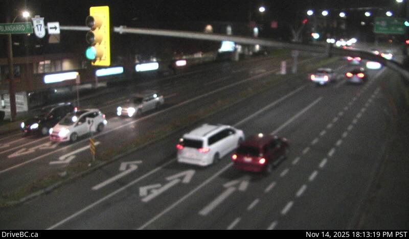 WorkingStill imageHighway 17, Hwy 17 at Saanich Road 1, looking east
 WorkingStill imageHighway 17, Hwy 17 at Saanich Road 1, looking west
 WorkingStill imageHighway 1, Helmcken, looking south
 WorkingStill imageHighway 1, Helmcken, looking west
 WorkingStill imageHighway 1, Helmcken, looking north
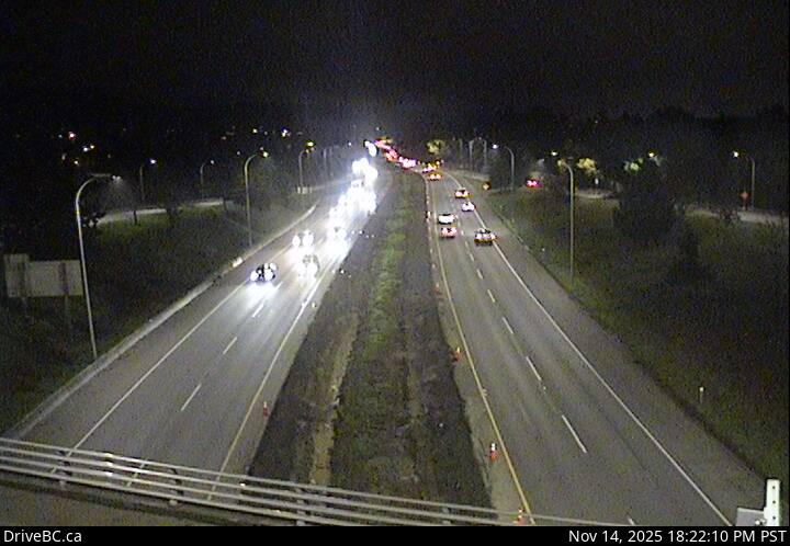 WorkingStill imageHighway 1, Helmcken, looking east
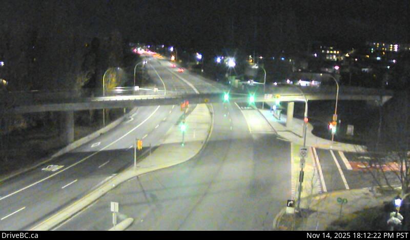 WorkingStill imageHighway 1, Carey Road, looking northwest
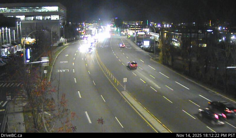 WorkingStill imageHighway 1, Carey Road, looking southeast
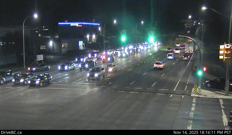 WorkingStill imageHighway 17, Hwy 17 at Cloverdale Avenue, looking north
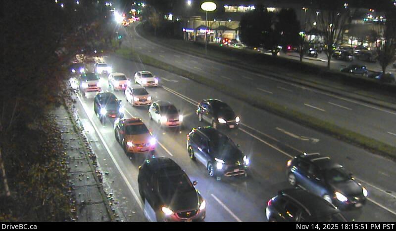 WorkingStill imageHighway 17, Hwy 17 at Cloverdale Avenue, looking south
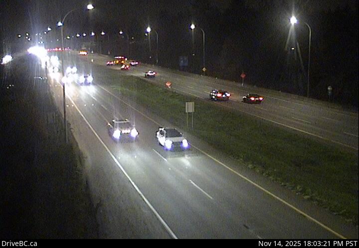 WorkingStill imageHighway 1, Colwood, looking east
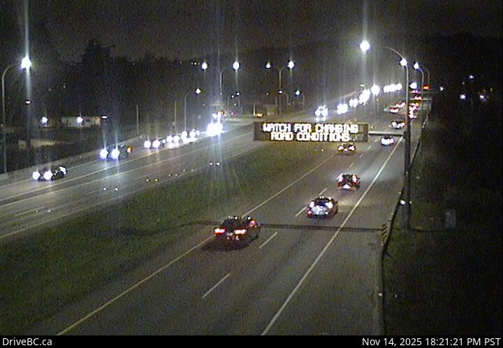 WorkingStill imageHighway 1, Colwood, looking west
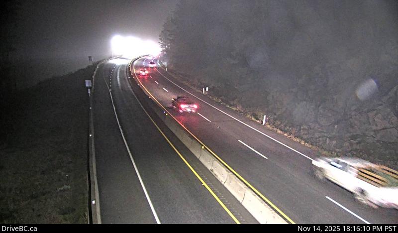 WorkingStill imageHighway 1, Malahat Summit, looking south
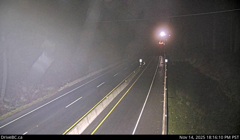 WorkingStill imageHighway 1, Malahat Summit, looking north
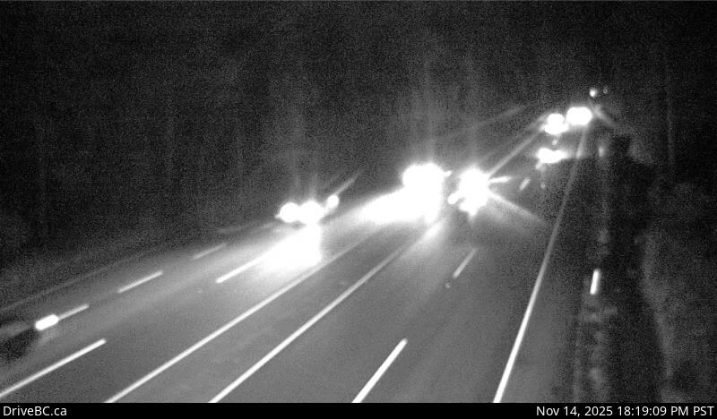 WorkingStill imageHighway 1, Bamberton, looking south
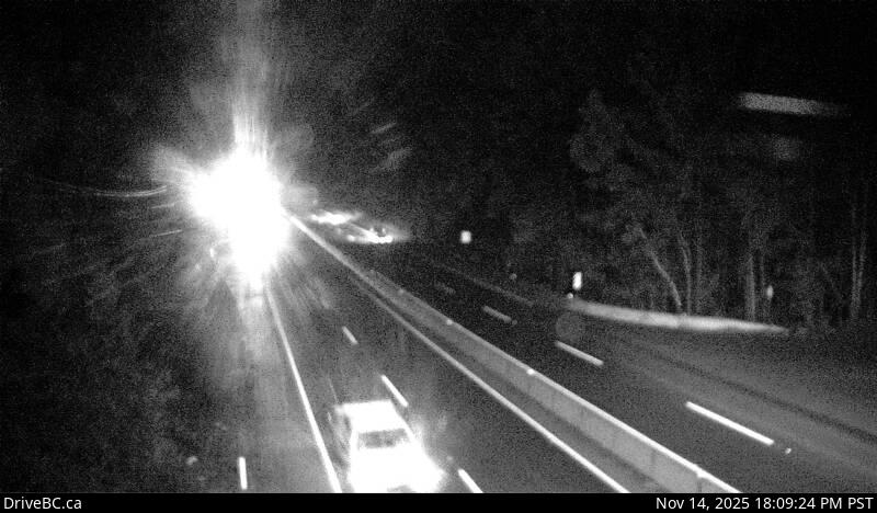 WorkingStill imageHighway 1, Bamberton, looking north
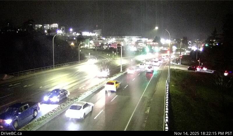 WorkingStill imageHighway 1, Millstream Road, looking north
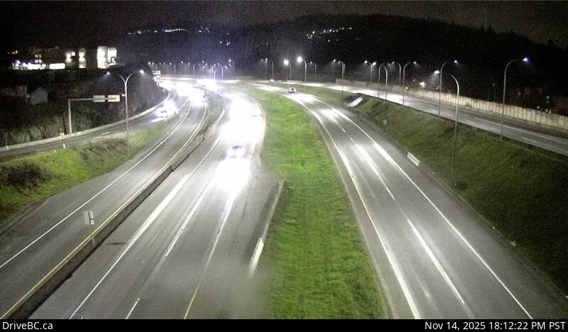 WorkingStill imageHighway 1, Millstream Road, looking east
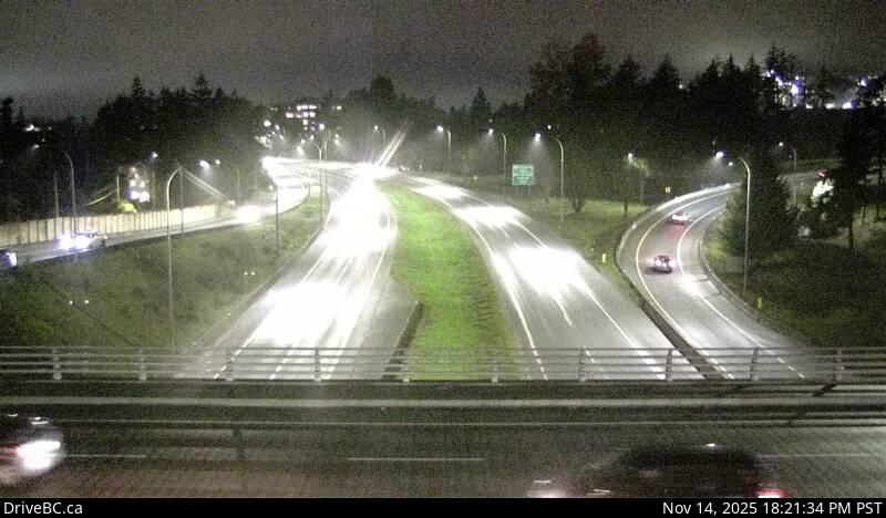 WorkingStill imageHighway 1, Millstream Road, looking west
 WorkingStill imageHighway 1, Okotoks, looking south
 WorkingStill imageHighway 1, Okotoks, looking north
 WorkingStill imageHighway 1, Tunnel Hill, looking south
 WorkingStill imageHighway 1, Tunnel Hill, looking north
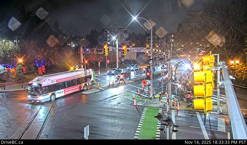 WorkingStill imageHighway 14, Veteran's Memorial Parkway, looking east
 WorkingStill imageHighway 14, Veteran's Memorial Parkway, looking north
 WorkingStill imageHighway 14, Veteran's Memorial Parkway, looking west
 WorkingStill imageHighway 14, Veteran's Memorial Parkway, looking south
 WorkingStill imageHighway 1, Malahat Drive, looking north
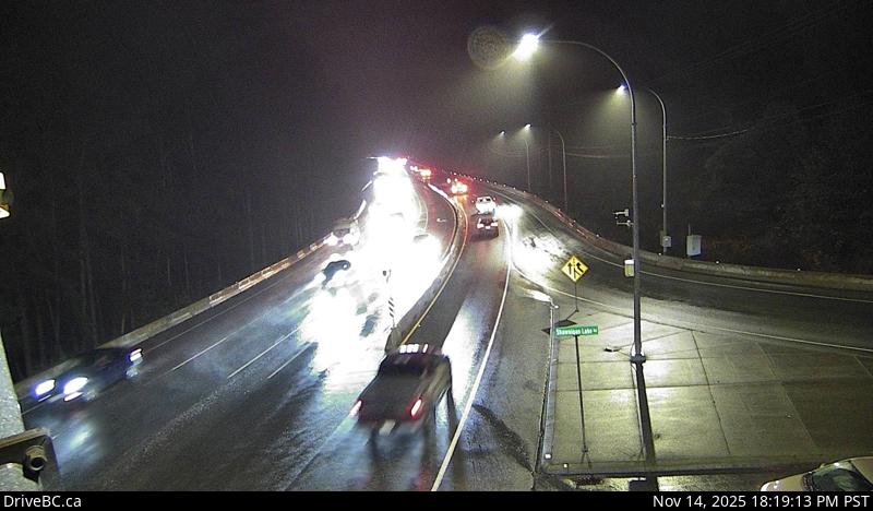 WorkingStill imageHighway 1, Malahat Drive, looking south
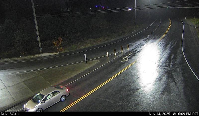 WorkingStill imageHighway 1, South Shawnigan Lake Road, looking west
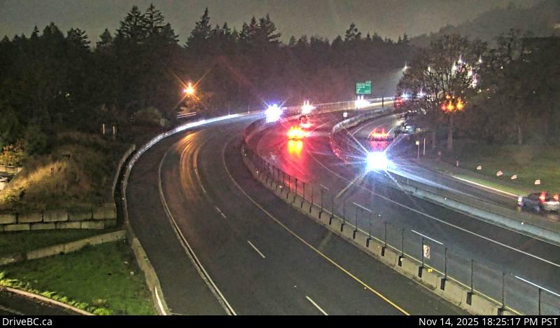 WorkingStill imageHighway 1, Spencer Road, looking west
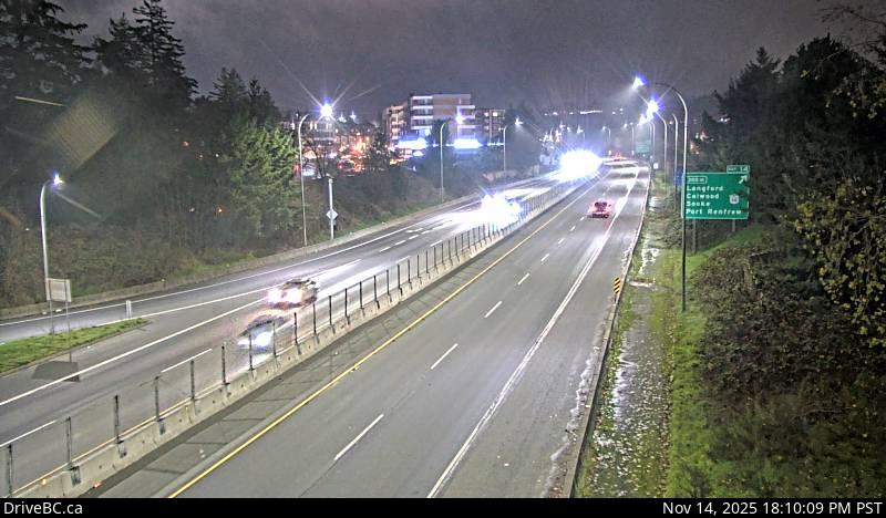 WorkingStill imageHighway 1, Spencer Road, looking east
No live video among these cameras. Turn off "Live video only" to see them all.
Best cams to watch
- Highway 17, Sayward Road, looking south — Still image · every 15 min, working 100 % of the time in the last 30 days.
- Highway 17, Sayward Road, looking north — Still image · every 15 min, working 100 % of the time in the last 30 days.
- Highway 17, Sayward Road, looking east — Still image · every 15 min, working 100 % of the time in the last 30 days.
Saanich is a district municipality on the southern tip of Vancouver Island, wrapping around the north side of Victoria in British Columbia's Capital Regional District. With about 117,700 residents at the 2021 census, it is the most populous municipality on the island, and at roughly 104 square kilometers it is also the largest in Greater Victoria. The name comes from the Saanich First Nation and is often translated as "emerging land" or "emerging people." Saanich mixes busy suburbs such as Gordon Head and Royal Oak with seaside neighborhoods like Cadboro Bay and Cordova Bay and quiet farmland in the rural north.
Mount Douglas, known as PKOLS, offers a wide view over the city and the Haro Strait to the San Juan Islands. Elk and Beaver Lake Regional Park is a favorite for swimming and rowing, and much of the University of Victoria campus lies within Saanich, along with Camosun College's Interurban and Lansdowne campuses.
Pat Bay and Trans-Canada views
These are DriveBC highway cameras, run for the provincial transportation ministry. Each picture is a still that DriveBC renews several times an hour. Two provincial highways cross Saanich: Highway 17, the Pat Bay Highway, runs north toward the airport and the Swartz Bay ferry terminal, and Highway 1, the Trans-Canada, heads northwest toward the West Shore. The McKenzie interchange, where the Trans-Canada meets McKenzie Avenue, is one of the region's key junctions and a good spot to check during the morning and evening rush. Ferry sailings also send a visible wave of cars along Highway 17.
Saanich is on Pacific Time and moves clocks forward in March and back in early November. Its climate is among the mildest in Canada: dry, sunny summers and cool, wet winters with only occasional snow. Long June evenings over Haro Strait last until about nine thirty, but by midwinter darkness arrives soon after four.
Central Saanich and North Saanich, separate municipalities to the north, hold the Butchart Gardens and the ferry terminal, while downtown Victoria and its Inner Harbour are a short drive south.
Sources: Saanich, British Columbia - Wikipedia · DriveBC.
Nearby places
- Surrey (212)
- Fleetwood (126)
- Vancouver (120)
- New Westminster (111)
- Langley (107)
- Burnaby (102)
- Delta (78)
- Maple Ridge (76)
Questions about Saanich
How many webcams can I watch in Saanich?
LiveLocation lists 63 cameras in and around Saanich, Canada: 0 live video, 63 still images. 63 of them were live or showing a fresh image at the last check.
Who runs the cameras in Saanich?
All of them come from DriveBC (63). Each camera plays straight from the agency or owner that runs it, with credit. DriveBC
What can I see on the Saanich cameras?
The views are traffic and highway (61) and pass and road weather (2). Good ones to start with: Highway 17, Sayward Road, looking south and Highway 17, Sayward Road, looking north. Highway 17, Sayward Road, looking south Highway 17, Sayward Road, looking north
Can I watch live video from Saanich?
Not yet: the cameras here send still images that refresh about every 16 minutes. The map can show only live-video cameras nearby. Live video on the map
What time is it in Saanich, and when is it light?
Saanich is on America/Vancouver time. On October 7 the sun rises at 7:22 AM and sets at 6:40 PM, so still images are clearest between those times. Road cameras show the most traffic in the weekday morning and evening rush hours.
Which places near Saanich also have cameras?
The nearest are Central Saanich (4.1 km away, 18 cameras), Oak Bay (12 km away, 24 cameras) and Victoria (13 km away, 52 cameras). Central Saanich Oak Bay Victoria
How can I see the Saanich cameras on a map?
The map at the top of this page shows all 63 of them. The live camera radar centers on Saanich and lists every camera within 5 to 250 km, nearest first, with filters for live video, traffic, nature and more. Open the radar on Saanich
Place names and locations: GeoNames, licensed under CC BY 4.0.