Live cameras in Kamloops, Canada
19 cameras: 0 live video, 19 still images · 16 working now · updated Oct 8, 03:31 UTC
Kamloops has 19 live cameras on LiveLocation right now: 0 live video, 19 still images. Good places to start: Highway 1, Kamloops, looking west, Highway 1, Kamloops, looking east, Highway 5, Halston Avenue / Paul Lake Road, looking north. Local time is 8:31 PM (America/Vancouver). Today the sun rises at 7:11 AM and sets at 6:26 PM.
Kamloops live cameras
Every Kamloops live camera we know of: 0 live video, 19 still images. 16 were working at the last check. Kamloops is home to about 104,000 people.
Weather now in Kamloops: 13 °C (55 °F), partly cloudy, wind 3 km/h (2 mph) from the northeast. Forecast for 9 PM local time. Weather: MET Norway (CC BY 4.0)
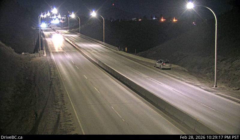 WorkingStill imageHighway 1, Kamloops, looking west
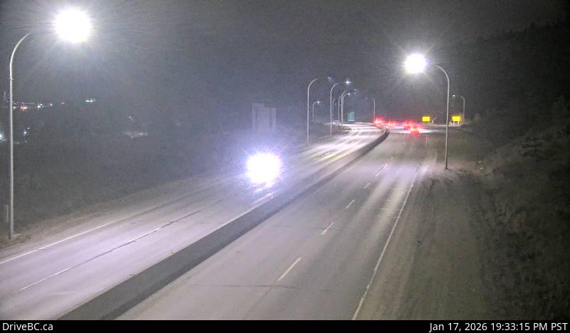 WorkingStill imageHighway 1, Kamloops, looking east
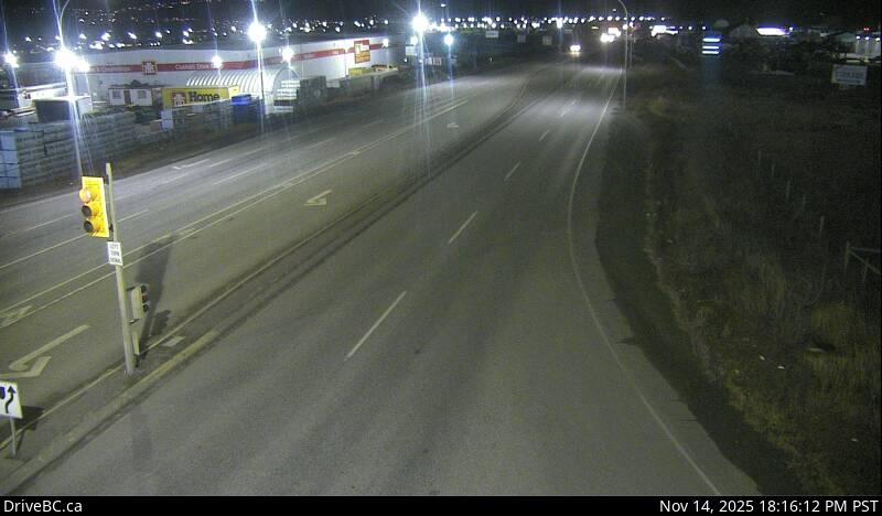 WorkingStill imageHighway 5, Halston Avenue / Paul Lake Road, looking north
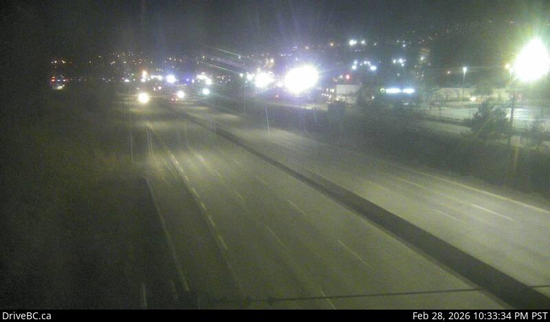 WorkingStill imageHighway 1, Dufferin, looking east
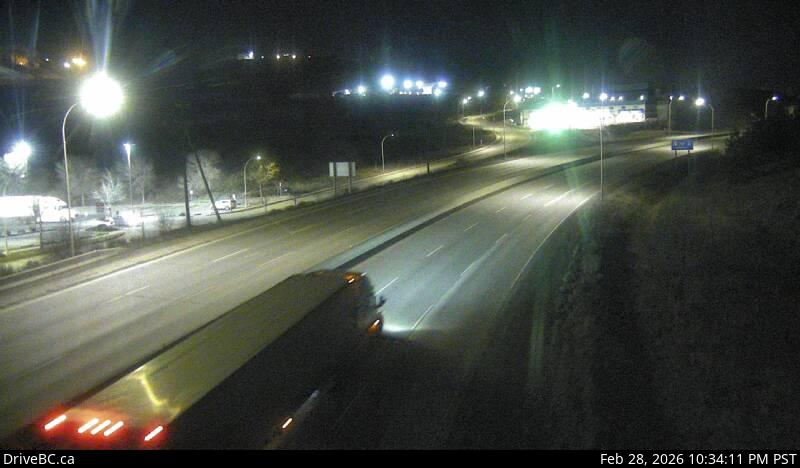 WorkingStill imageHighway 1, Dufferin, looking west
 WorkingStill imageHighway 5, Walloper
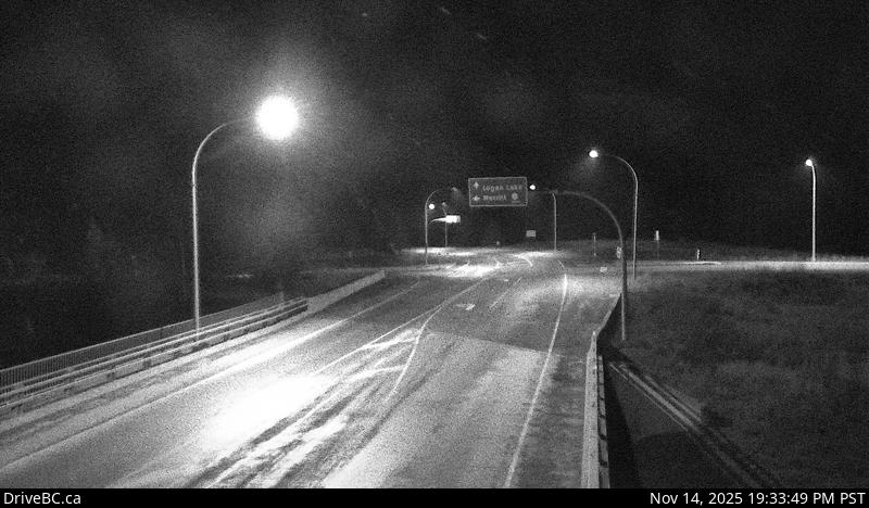 WorkingStill imageHighway 5, Hwy 97D at Hwy 5, looking southwest
 WorkingStill imageHighway 5, Hwy 5 at Hwy 97D southbound
 WorkingStill imageHighway 5, Hwy 5 at Hwy 97D northbound
 WorkingStill imageHighway 5, Hwy 97D at Hwy 5, looking northeast
 WorkingStill imageHighway 1, Savona
 WorkingStill imageHighway 97, Monte Creek Brake Check, looking north
 WorkingStill imageHighway 97, Monte Creek Brake Check, looking south
 WorkingStill imageHighway 1, Miners Bluff, looking east
 WorkingStill imageHighway 1, Miners Bluff, looking west
 WorkingStill imageHighway 5, Helmer Lake
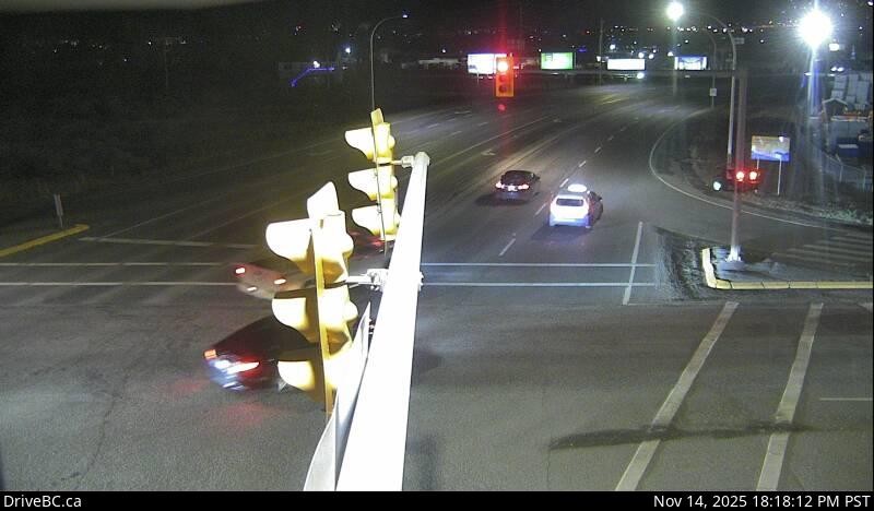 IntermittentStill imageHighway 5, Halston Avenue / Paul Lake Road, looking west
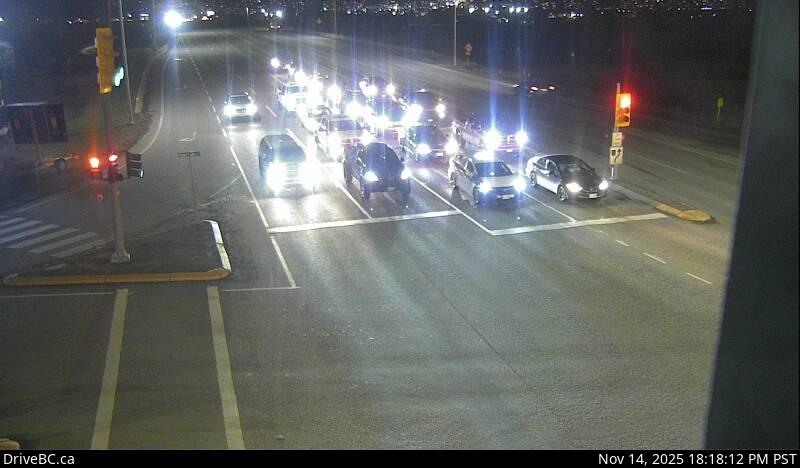 IntermittentStill imageHighway 5, Halston Avenue / Paul Lake Road, looking south
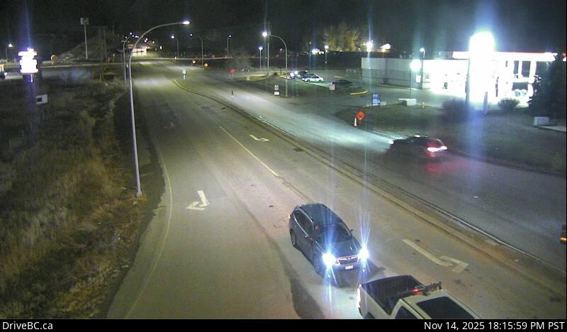 IntermittentStill imageHighway 5, Halston Avenue / Paul Lake Road, looking east
No live video among these cameras. Turn off "Live video only" to see them all.
Best cams to watch
- Highway 1, Kamloops, looking west — Still image · every 9 min, working 100 % of the time in the last 30 days.
- Highway 1, Kamloops, looking east — Still image · every 9 min, working 100 % of the time in the last 30 days.
- Highway 5, Halston Avenue / Paul Lake Road, looking north — Still image · every 17 min, working 100 % of the time in the last 30 days.
Kamloops sits where the North and South Thompson rivers meet in the dry interior of British Columbia, about a four-hour drive northeast of Vancouver. The 2021 census counted about 98,000 residents, which makes it the largest city between the coast and the Rockies along this corridor. Its name comes from the Secwépemc word for the meeting of the waters, and the Tk'emlúps te Secwépemc reserve lies across the river from downtown. The railways shaped the city: the Canadian Pacific arrived in 1886 and the Canadian National line followed in 1912. Today Kamloops calls itself the Tournament Capital of Canada, and Riverside Park on the Thompson is its summer gathering place.
Highway views from a crossroads
Four major routes converge here, so the cameras linked to this page are all DriveBC views of a true junction. The Trans-Canada Highway (Highway 1) passes through along the river, Highway 5 leaves south as the Coquihalla and north as the Yellowhead toward Jasper, and Highway 97 shares the Trans-Canada through town on its way between the Okanagan and Cache Creek. A handful come from weather-equipped sites on higher ground, useful for judging the climb onto the Coquihalla. Like most provincial cameras, they post a fresh still photo on a cycle of a few minutes.
Since March 2026 Kamloops keeps the province's new year-round time, UTC minus seven, so clocks no longer go back in November. Winter mornings therefore stay dark until close to nine, while late afternoons hold their light longer than before. Summers are hot and semi-arid, with many afternoons above 30 °C, and the brown, sage-covered hills glow at sunset. Wildfire smoke can haze the images in July and August. Snow on the high passes is the main reason drivers check these pictures between November and April.
Sun Peaks Resort, one of the province's larger ski areas, is about an hour northeast, and the grasslands of Lac du Bois rise just north of the city.
Sources: Kamloops - Wikipedia · B.C.'s new time zone (Pacific time) - Province of British Columbia · DriveBC.
Nearby places
- Surrey (212)
- Fleetwood (126)
- Vancouver (120)
- New Westminster (111)
- Langley (107)
- Burnaby (102)
- Delta (78)
- Maple Ridge (76)
Questions about Kamloops
How many cameras does LiveLocation have in Kamloops?
LiveLocation lists 19 cameras in and around Kamloops, Canada: 0 live video, 19 still images. 16 of them were live or showing a fresh image at the last check.
Where do the Kamloops cameras come from?
All of them come from DriveBC (19). Each camera plays straight from the agency or owner that runs it, with credit. DriveBC
What kinds of views are there in Kamloops?
The views are traffic and highway (13) and pass and road weather (6). Good ones to start with: Highway 1, Kamloops, looking west and Highway 1, Kamloops, looking east. Highway 1, Kamloops, looking west Highway 1, Kamloops, looking east
Is there live video from Kamloops?
Not yet: the cameras here send still images that refresh about every 13 minutes. The map can show only live-video cameras nearby. Live video on the map
When is the best time to watch the Kamloops cameras?
Kamloops is on America/Vancouver time. On October 7 the sun rises at 7:11 AM and sets at 6:26 PM, so still images are clearest between those times. Road cameras show the most traffic in the weekday morning and evening rush hours.
Are there live cameras near Kamloops?
The nearest are Salmon Arm (74 km away, 15 cameras), Vernon (86 km away, 6 cameras) and Lake Country (98 km away, 2 cameras). Salmon Arm Vernon Lake Country
Is there a map of the cameras in Kamloops?
The map at the top of this page shows all 19 of them. The live camera radar centers on Kamloops and lists every camera within 5 to 250 km, nearest first, with filters for live video, traffic, nature and more. Open the radar on Kamloops
Place names and locations: GeoNames, licensed under CC BY 4.0.