Live cameras in Salmon Arm, Canada
15 cameras: 0 live video, 15 still images · 15 working now · updated Oct 8, 03:31 UTC
Salmon Arm has 15 live cameras on LiveLocation right now: 0 live video, 15 still images. Good places to start: Highway 1, Salmon Arm, looking west, Highway 1, Salmon Arm, looking south, Highway 1, Salmon Arm, looking east. Local time is 8:31 PM (America/Vancouver). Today the sun rises at 7:07 AM and sets at 6:22 PM.
Salmon Arm live cameras
Salmon Arm live cameras, all in one place: 0 live video, 15 still images. 15 were working at the last check. Salmon Arm is home to about 19,000 people.
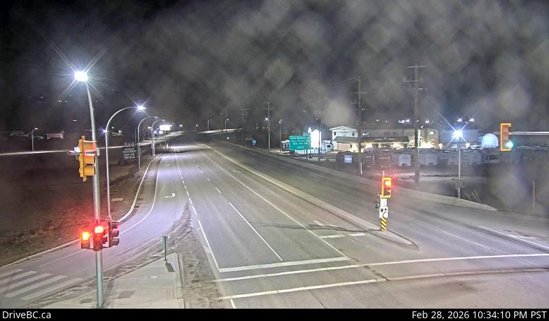 WorkingStill imageHighway 1, Salmon Arm, looking west
 WorkingStill imageHighway 1, Salmon Arm, looking south
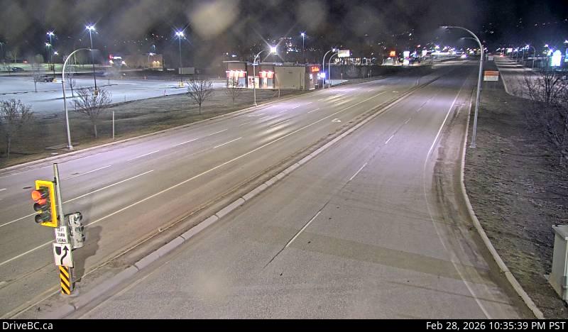 WorkingStill imageHighway 1, Salmon Arm, looking east
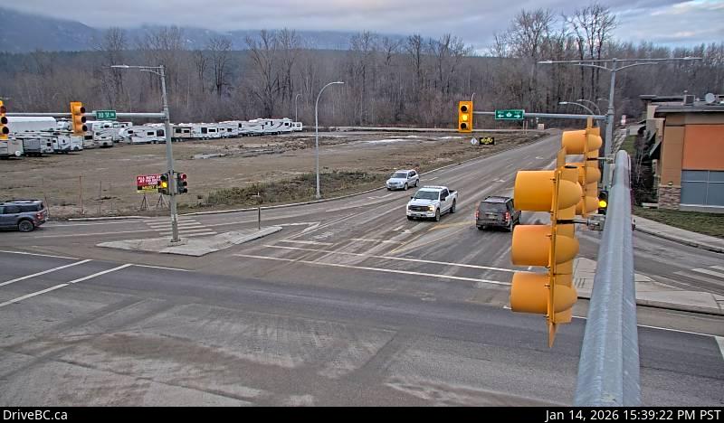 WorkingStill imageHighway 1, Salmon Arm, looking north
 WorkingStill imageHighway 1, Annis Pit, looking west
 WorkingStill imageHighway 1, Annis Pit, looking east
 WorkingStill imageHighway 1, Sorrento - Blind Bay
 WorkingStill imageHighway 1, Squilax, looking east
 WorkingStill imageHighway 1, Squilax, looking west
 WorkingStill imageHighway 97, Falkland
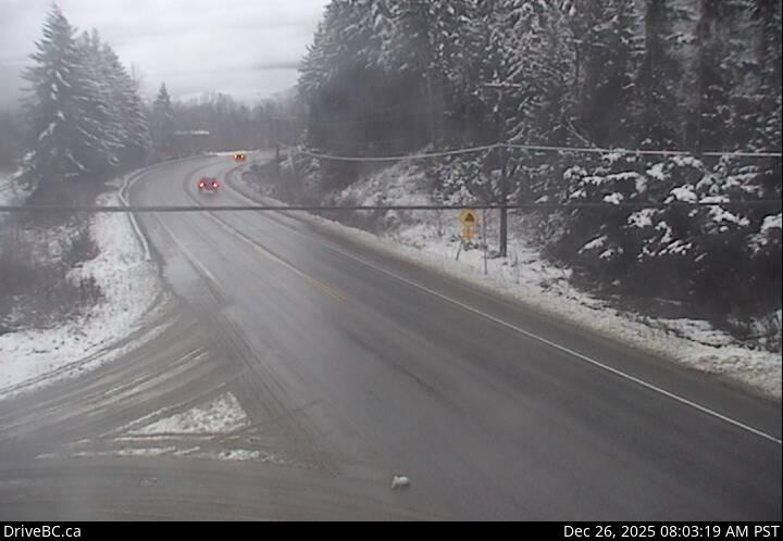 WorkingStill imageHighway 1, Sicamous, looking east
 WorkingStill imageHighway 1, Sicamous, looking west
 WorkingStill imageAdams Lake West Ferry Lineup
 WorkingStill imageAdams Lake East Ferry Landing
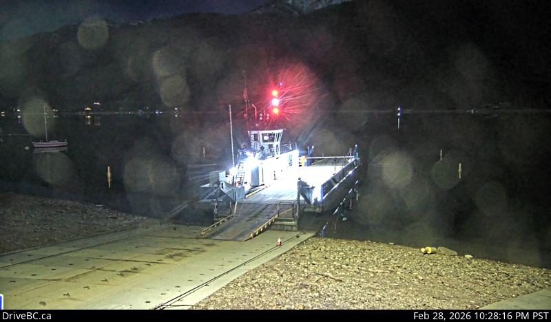 WorkingStill imageAdams Lake West Ferry Landing
No live video among these cameras. Turn off "Live video only" to see them all.
Best cams to watch
- Highway 1, Salmon Arm, looking west — Still image · every 18 min, working 100 % of the time in the last 30 days.
- Highway 1, Salmon Arm, looking south — Still image · every 18 min, working 100 % of the time in the last 30 days.
- Highway 1, Salmon Arm, looking east — Still image · every 18 min, working 100 % of the time in the last 30 days.
Salmon Arm sits at the end of one arm of Shuswap Lake in the Southern Interior, roughly halfway between Vancouver and Calgary on the Trans-Canada Highway. It is a small city of about 19,400 people at the 2021 census, surrounded by orchards, dairy farms and forested hills. Its waterfront has what the city describes as the longest wooden freshwater wharf in North America, and the shallow bay below it is a nesting ground for western grebes and other water birds. Summers fill the town with houseboaters and lake visitors, and the Roots and Blues Festival brings a large music weekend to the fairgrounds each August.
The DriveBC traffic cameras assigned to Salmon Arm follow Highway 1, the Trans-Canada, through town and along the lakeshore, plus the start of Highway 97B, which runs south toward Vernon and the Okanagan. This stretch carries a large share of the trucks crossing the province, so the images help when snow or a collision slows the main east-west route. Expect still photos refreshed every few minutes rather than video.
Salmon Arm uses British Columbia's permanent Pacific time, set at UTC minus seven since the province ended its clock changes in 2026. Midwinter days are short, with the sun up from around nine until about five. The climate is milder than the higher interior, but wet snow on the Trans-Canada is common from November to March, and morning fog often sits over the lake in autumn. In high summer the evening light lingers past nine and the lake turns calm and glassy at dusk.
October 2026 is a dominant year for the Adams River sockeye run, and the Salute to the Sockeye festival at Tsútswecw Provincial Park, a short drive west near Chase, runs October 9 to 25 this year. To the east, the Trans-Canada continues toward Sicamous and the Monashee Mountains.
Sources: Salmon Arm - Wikipedia · Salute to the Sockeye 2026 - Adams River Salmon Society · B.C.'s new time zone (Pacific time) - Province of British Columbia.
Nearby places
- Surrey (212)
- Fleetwood (126)
- Vancouver (120)
- New Westminster (111)
- Langley (107)
- Burnaby (102)
- Delta (78)
- Maple Ridge (76)
Questions about Salmon Arm
How many live cameras are there in Salmon Arm?
LiveLocation lists 15 cameras in and around Salmon Arm, Canada: 0 live video, 15 still images. 15 of them were live or showing a fresh image at the last check.
Where do the Salmon Arm cameras come from?
All of them come from DriveBC (15). Each camera plays straight from the agency or owner that runs it, with credit. DriveBC
What kinds of views are there in Salmon Arm?
All of them show traffic and highway (15). Good ones to start with: Highway 1, Salmon Arm, looking west and Highway 1, Salmon Arm, looking south. Highway 1, Salmon Arm, looking west Highway 1, Salmon Arm, looking south
Is there live video from Salmon Arm?
Not yet: the cameras here send still images that refresh about every 14 minutes. The map can show only live-video cameras nearby. Live video on the map
When is the best time to watch the Salmon Arm cameras?
Salmon Arm is on America/Vancouver time. On October 7 the sun rises at 7:07 AM and sets at 6:22 PM, so still images are clearest between those times. Road cameras show the most traffic in the weekday morning and evening rush hours.
Are there live cameras near Salmon Arm?
The nearest are Vernon (48 km away, 6 cameras), Kamloops (74 km away, 19 cameras) and Lake Country (77 km away, 2 cameras). Vernon Kamloops Lake Country
Is there a map of the cameras in Salmon Arm?
The map at the top of this page shows all 15 of them. The live camera radar centers on Salmon Arm and lists every camera within 5 to 250 km, nearest first, with filters for live video, traffic, nature and more. Open the radar on Salmon Arm
Place names and locations: GeoNames, licensed under CC BY 4.0.