Live cameras in Davenport, United States
47 cameras: 0 live video, 47 still images · 1 working now · updated Oct 8, 07:46 UTC
Davenport has 47 live cameras on LiveLocation right now: 0 live video, 47 still images. Good places to start: I-74 at MM 4.9 (Grant St), Quad Cities, US 67 at MM 0.2 (Centennial Bridge - IA), Quad Cities, US 67 at MM 0 (Centennial Bridge - IL), Quad Cities. Local time is 2:46 AM (America/Chicago). Today the sun rises at 7:06 AM and sets at 6:32 PM.
Davenport live cameras
Davenport live cameras, all in one place: 0 live video, 47 still images. 1 were working at the last check. Davenport is home to about 103,000 people.
Weather now in Davenport: 55 °F (13 °C), mostly clear, wind 4 mph (7 km/h) from the northwest. Forecast for 3 AM local time. Weather: MET Norway (CC BY 4.0)
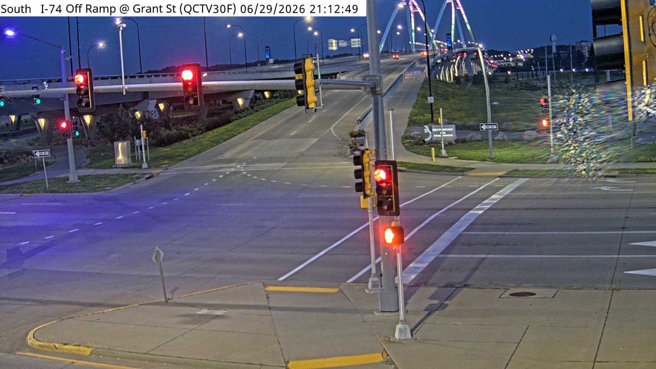 WorkingStill imageI-74 at MM 4.9 (Grant St), Quad Cities
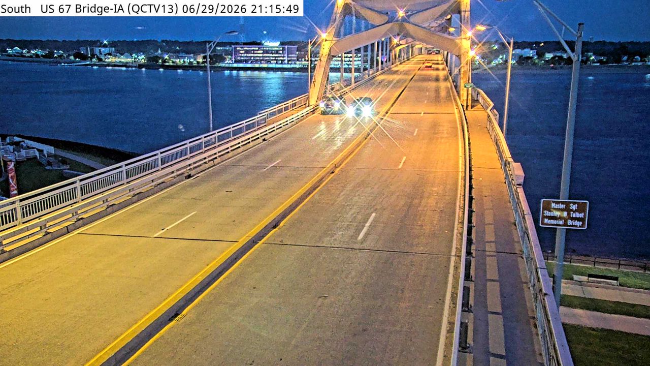 Not checked yetStill imageUS 67 at MM 0.2 (Centennial Bridge - IA), Quad Cities
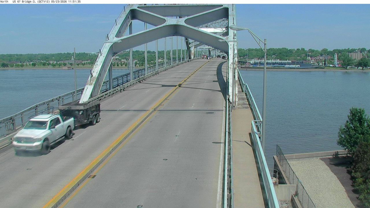 Not checked yetStill imageUS 67 at MM 0 (Centennial Bridge - IL), Quad Cities
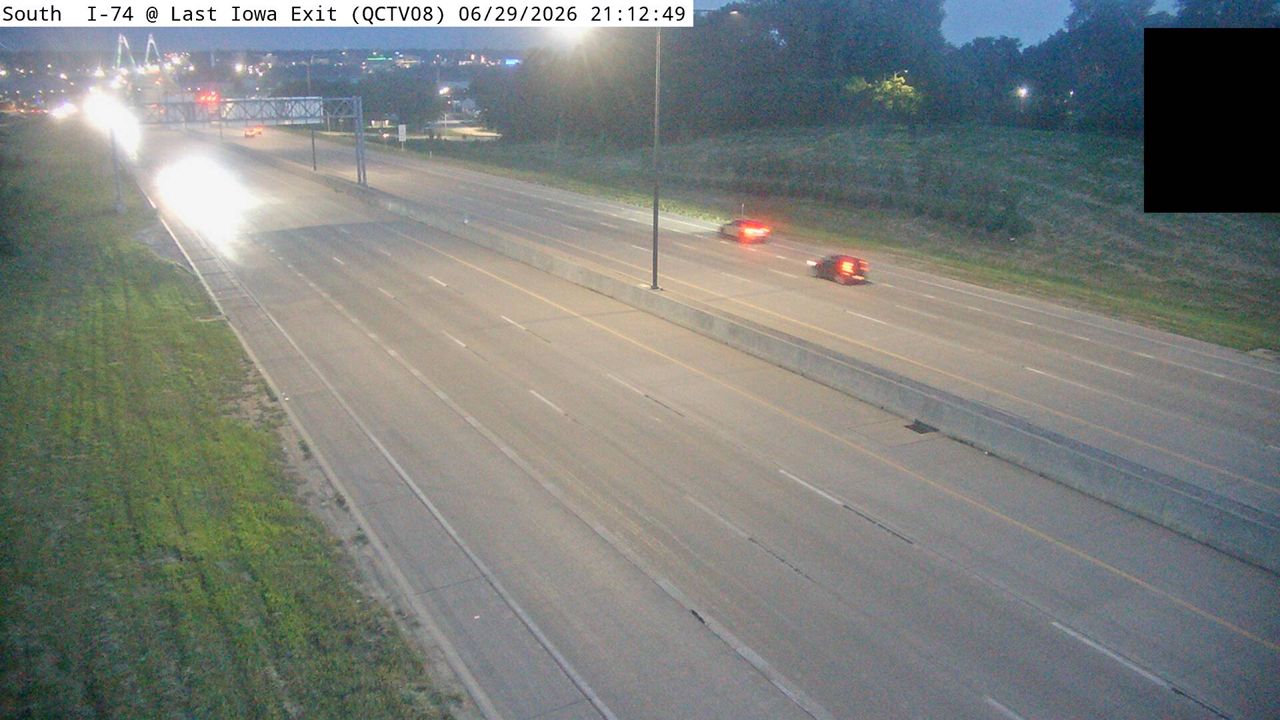 Not checked yetStill imageI-74 at MM 4.5 (Last Iowa Exit), Quad Cities
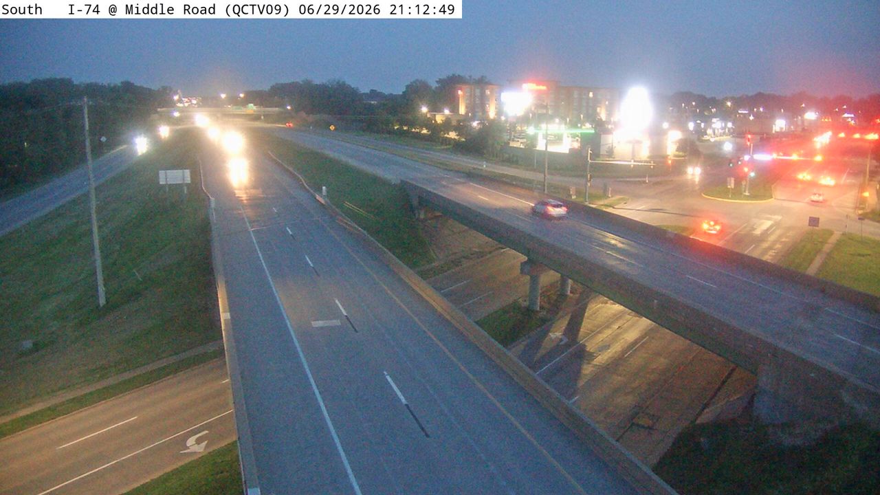 Not checked yetStill imageI-74 at MM 3.9 (Middle Rd), Quad Cities
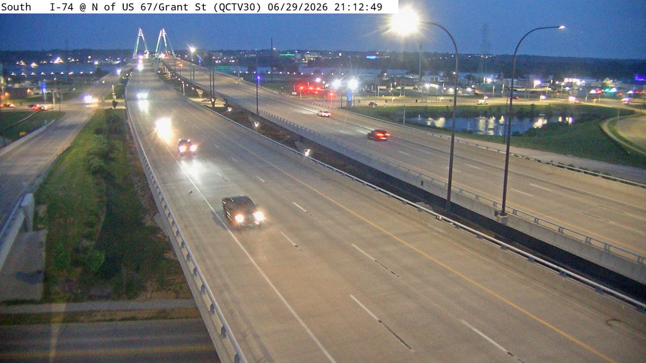 Not checked yetStill imageI-74 at MM 4.8 (N of US 67/Grant St), Quad Cities
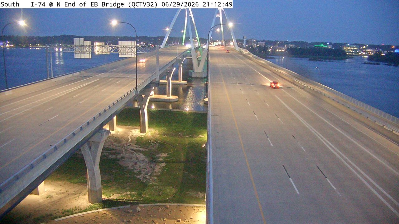 Not checked yetStill imageI-74 at MM 5.2 (N End of EB Bridge), Quad Cities
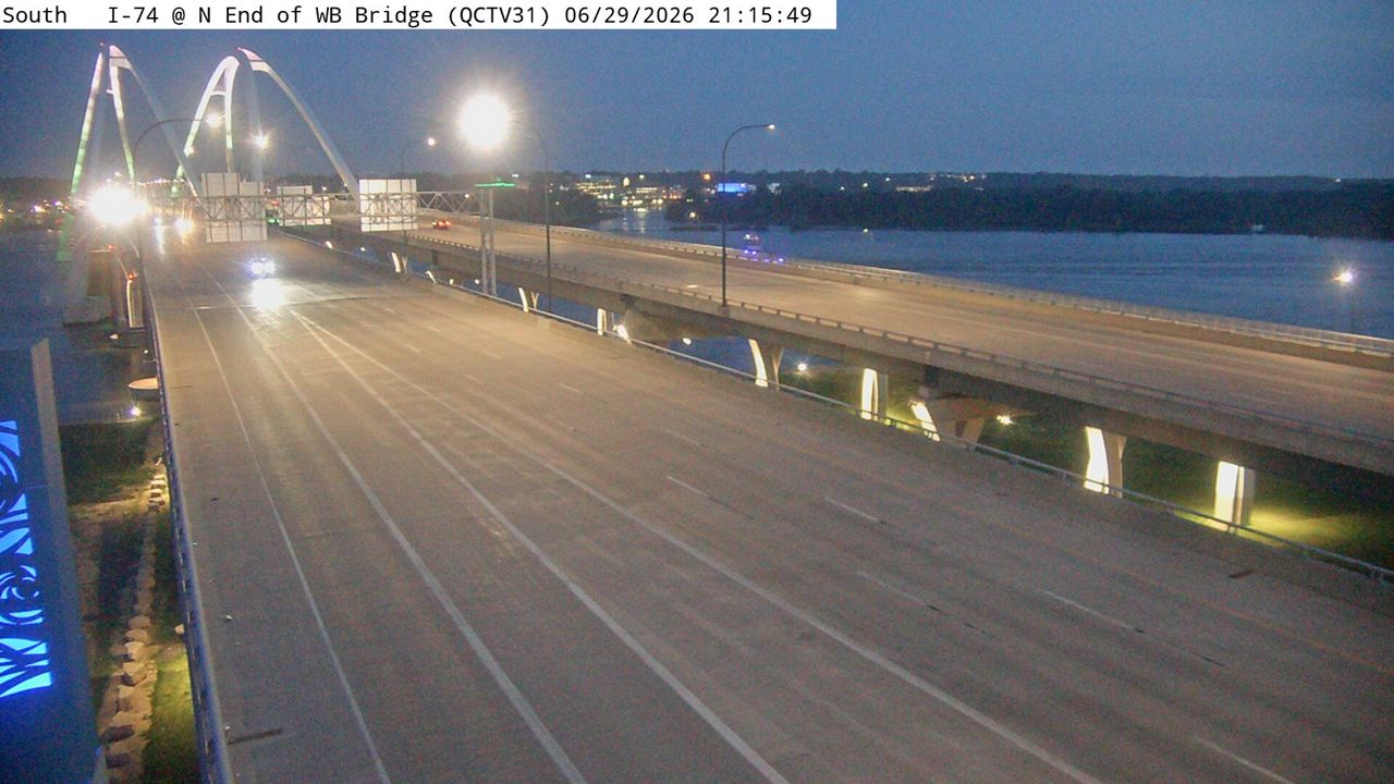 Not checked yetStill imageI-74 at MM 5.1 (N End of WB Bridge), Quad Cities
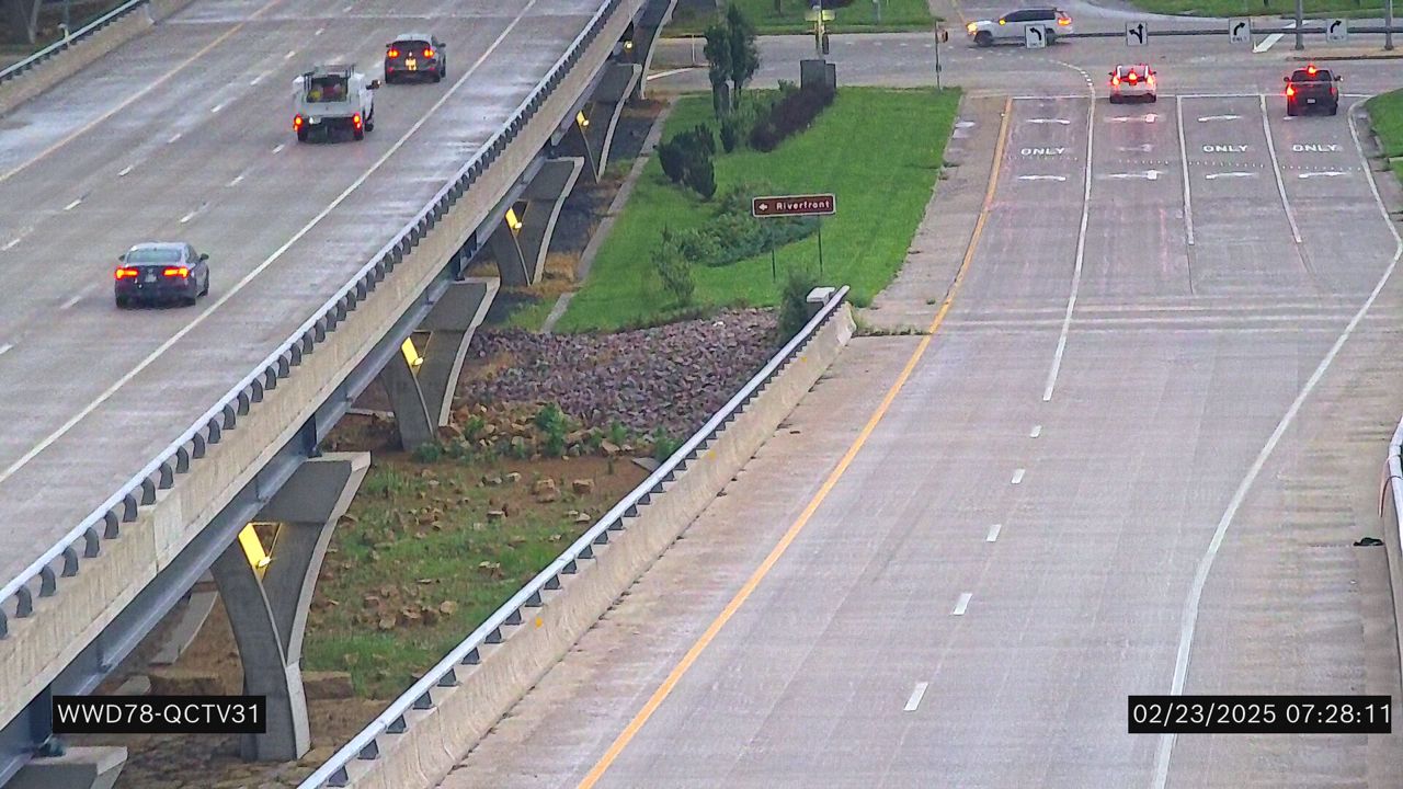 Not checked yetStill imageI-74 at MM 4.9 (N end of WB Bridge)
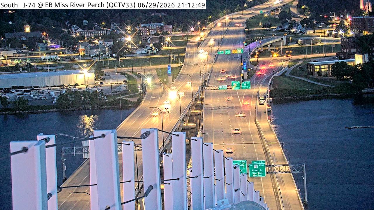 Not checked yetStill imageI-74 at MM 5.4 (EB Miss River Perch), Quad Cities
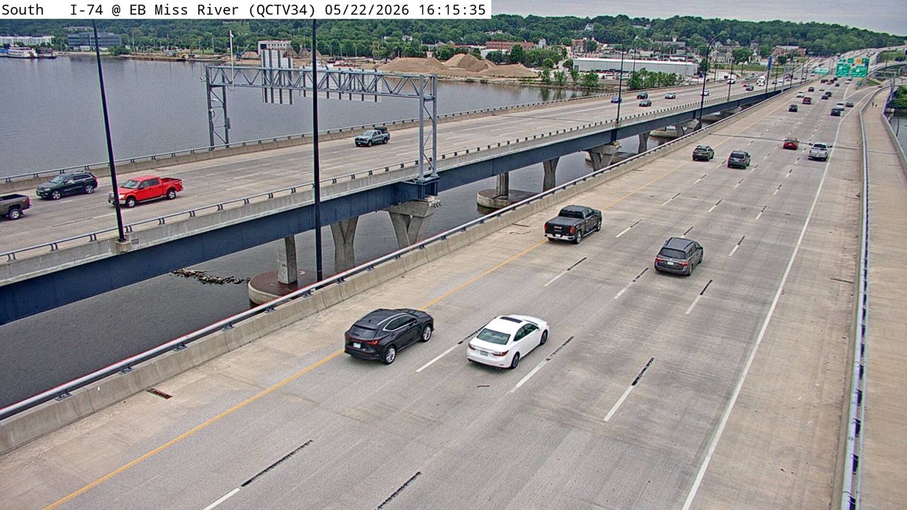 Not checked yetStill imageI-74 at MM 5.4 (EB Mississippi River), Quad Cities
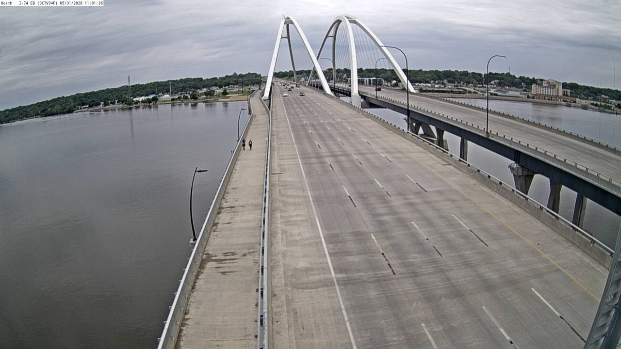 Not checked yetStill imageI-74 at MM 5.4 (EB Sign Truss), Quad Cities
 Not checked yetStill imageI-74 at MM 5.4 (WB Mississippi River), Quad Cities
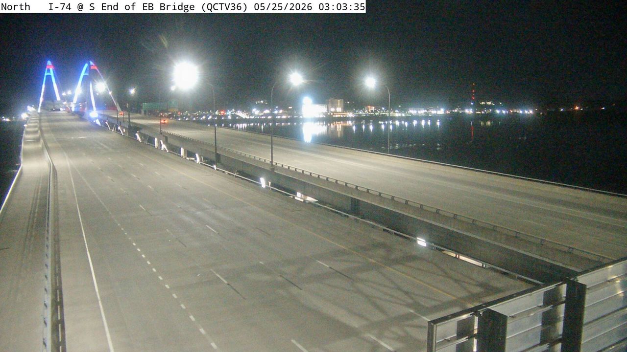 Not checked yetStill imageI-74 at MM 5.4 (S End of EB Bridge), Quad Cities
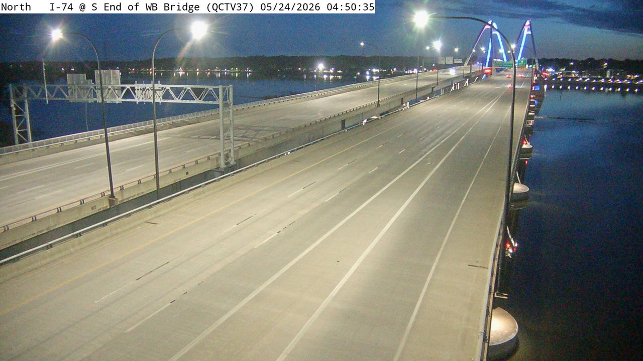 Not checked yetStill imageI-74 at MM 5.4 (S End of WB Bridge), Quad Cities
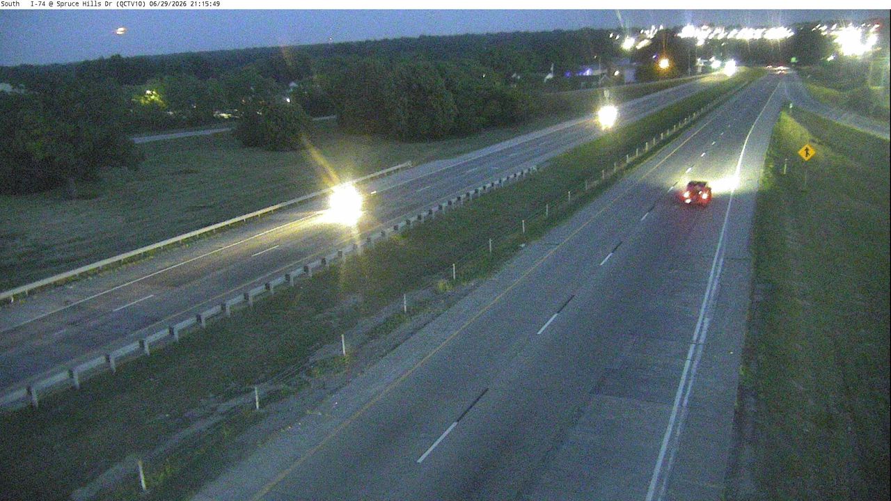 Not checked yetStill imageI-74 at MM 2.9 (Spruce Hills), Quad Cities
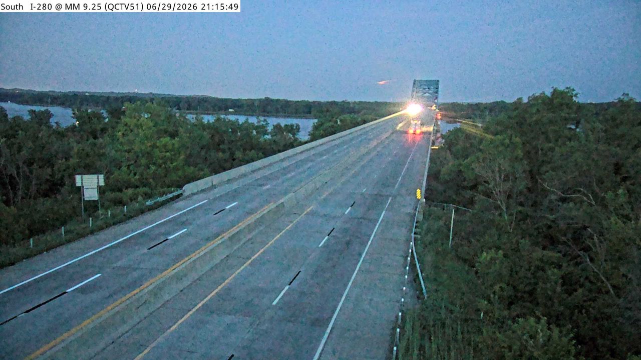 Not checked yetStill imageI-280 at MM 9.4, Quad Cities
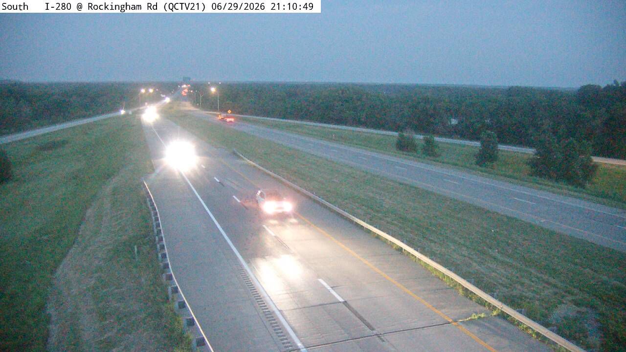 Not checked yetStill imageI-280 at MM 8.7 (Rockingham Rd), Quad Cities
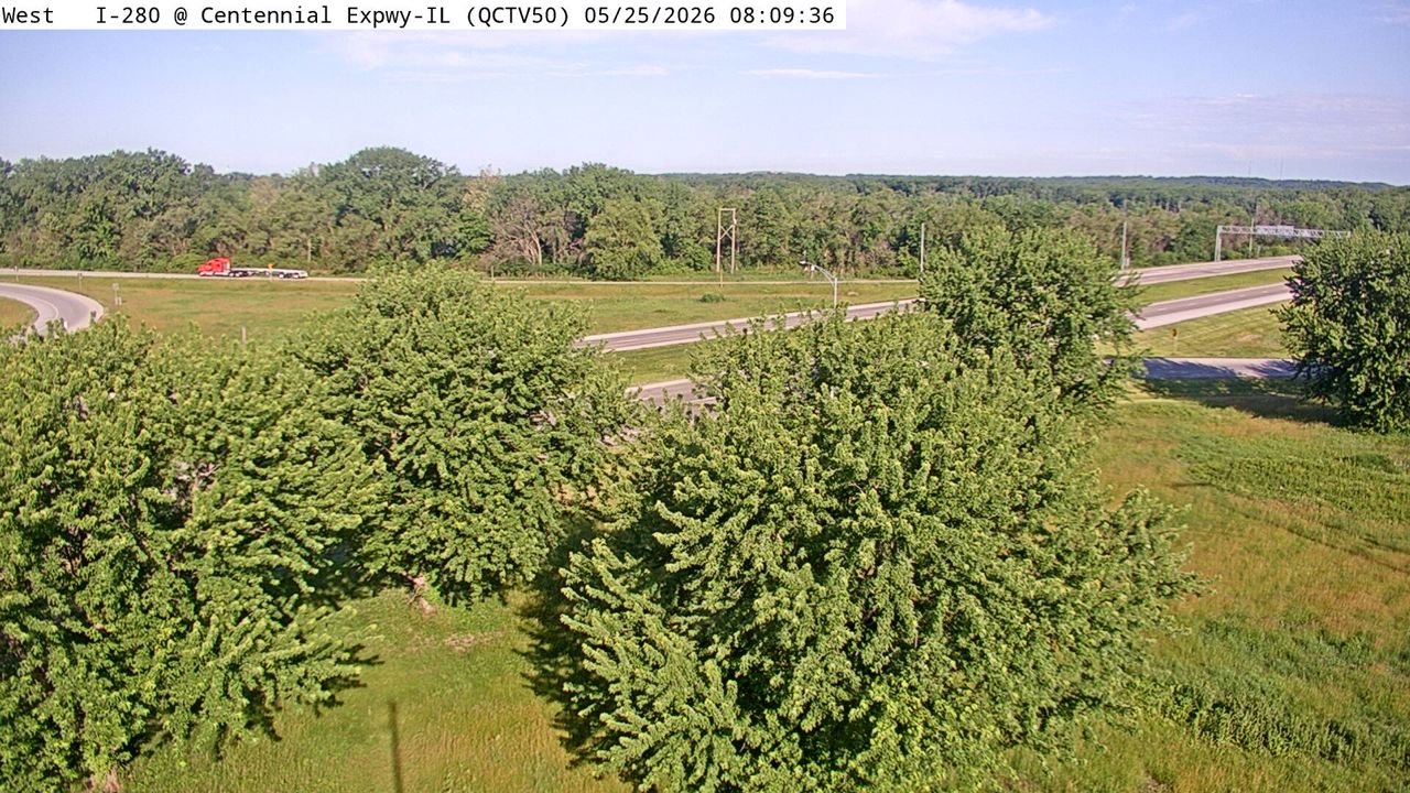 Not checked yetStill imageI-280 at MM 9.9 (Centennial Expwy - IL), Quad Cities
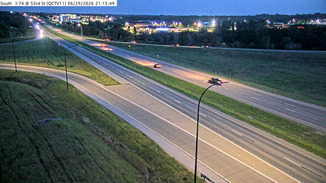 Not checked yetStill imageI-74 at MM 1.5 (53rd St), Quad Cities
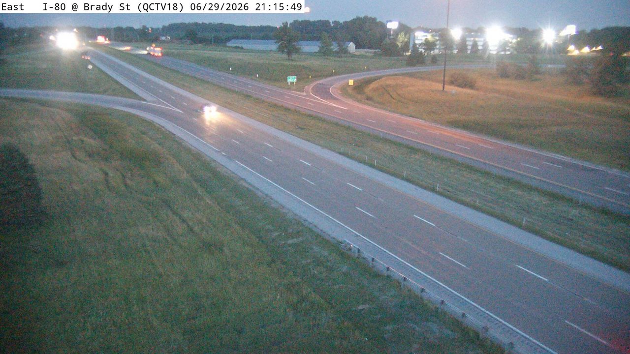 Not checked yetStill imageI-80 at MM 295.1 (Brady St), Quad Cities
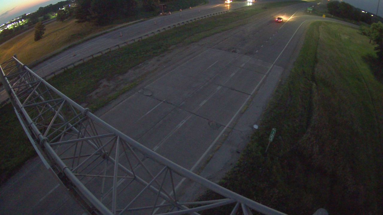 Not checked yetStill imageI-80 at MM 295.1 (Brady St)-Q, Quad Cities
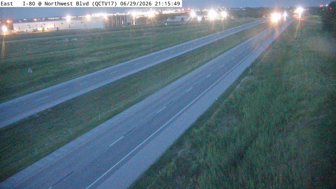 Not checked yetStill imageI-80 at MM 292.6 (Northwest Blvd), Quad Cities
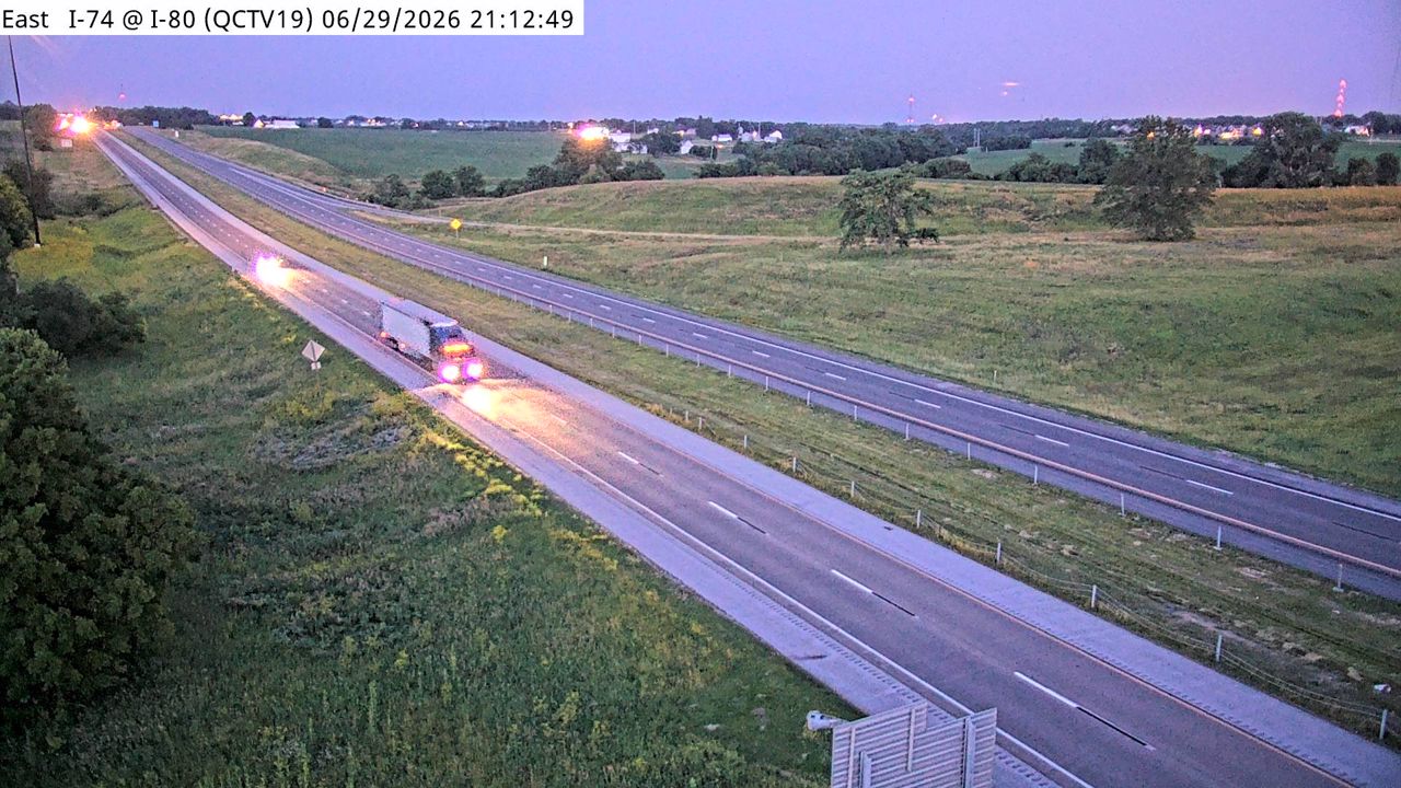 Not checked yetStill imageI-74 at MM 0 (I-80), Quad Cities
 Not checked yetStill imageRest Area: I-80 EB MM 300 near Davenport, center view
 Not checked yetStill imageRest Area: I-80 EB MM 300 near Davenport, entry view
 Not checked yetStill imageRest Area: I-80 EB MM 300 near Davenport, exit view
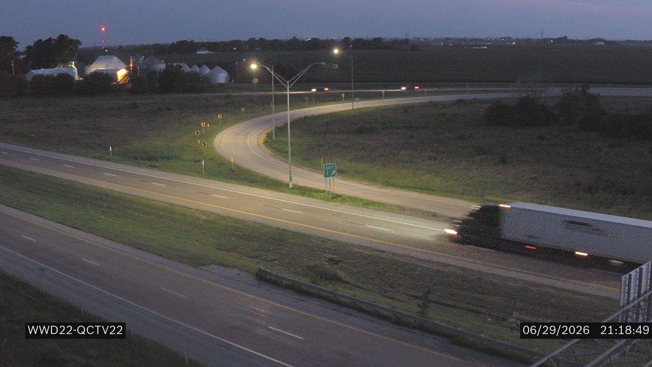 Not checked yetStill imageI-280 at MM 1.1 (Kimberly Rd)
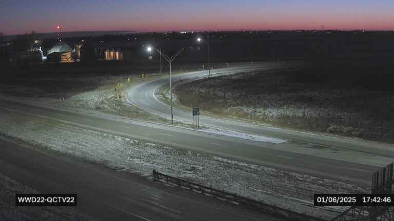 Not checked yetStill imageI-280 at US 6 in Davenport W (22)
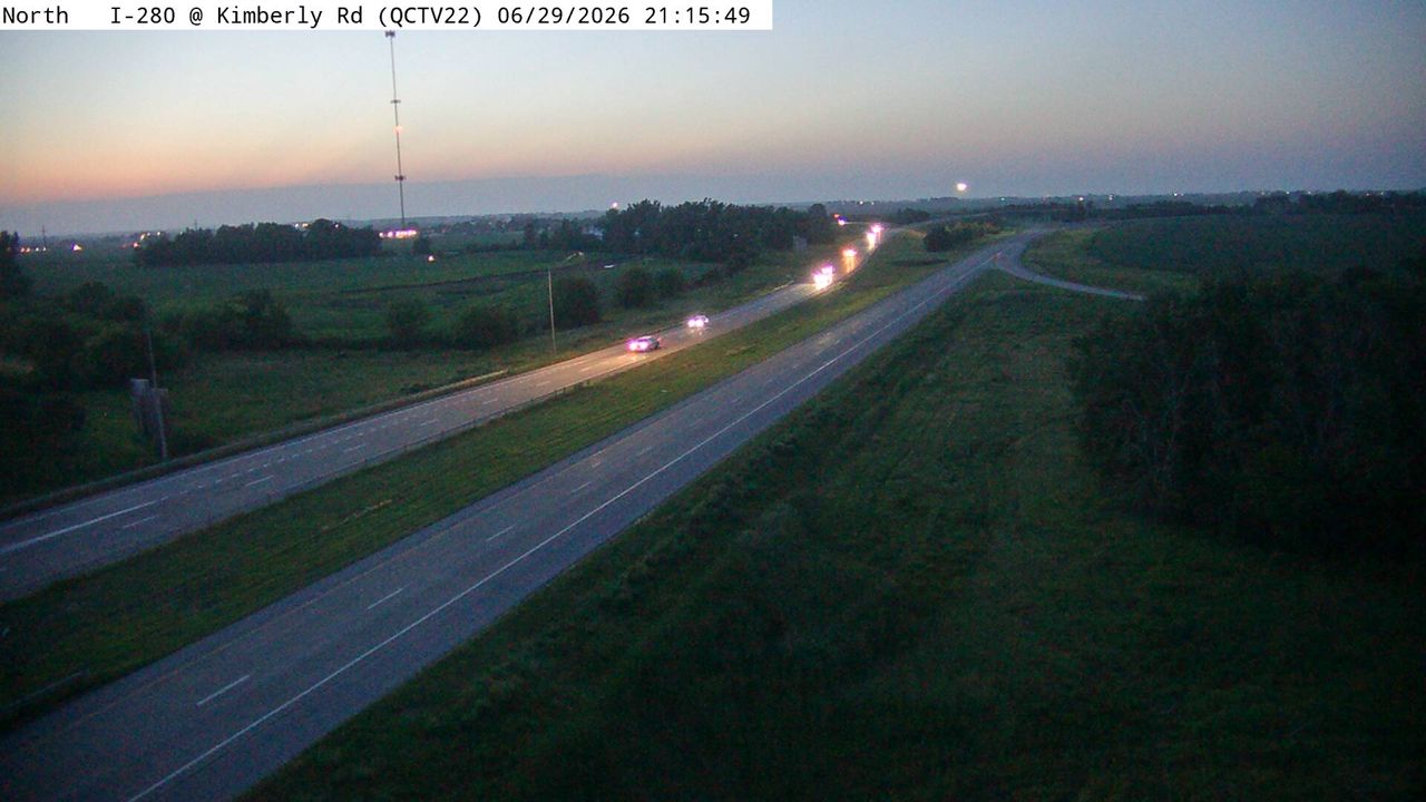 Not checked yetStill imageI-280 at MM 1.1 (Kimberly Rd), Quad Cities
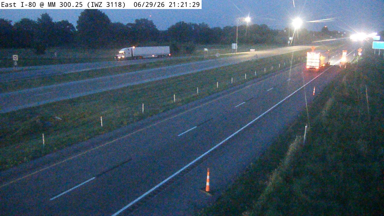 Not checked yetStill imageI-80 at MM 300.25 (IWZ 3118)
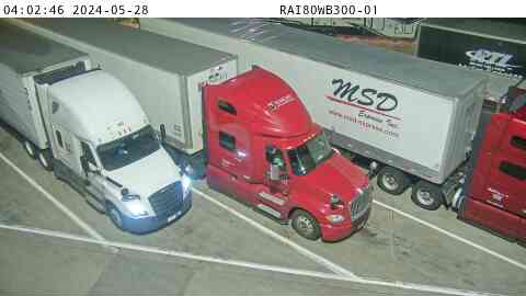 Not checked yetStill imageRest Area: I-80 WB MM 300 near Davenport, center view
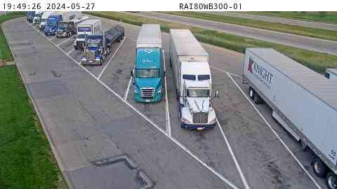 Not checked yetStill imageRest Area: I-80 WB MM 300 near Davenport, entry view
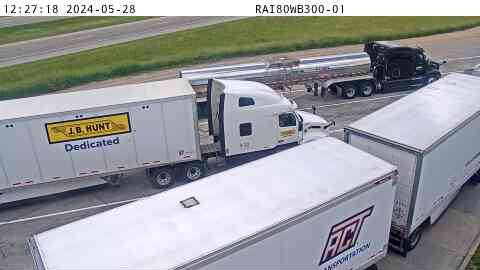 Not checked yetStill imageRest Area: I-80 WB MM 300 near Davenport, exit view
 Not checked yetStill imageI-280 MM 0 at Davenport
 Not checked yetStill imageI-280 MM 0 at Davenport
 Not checked yetStill imageI-280 MM 0 at Davenport, view 2
 Not checked yetStill imageI-280 MM 0 at Davenport, view 3
 Not checked yetStill imageI-280 MM 0 at Davenport, view 4
 Not checked yetStill imageI-280 MM 0 at Davenport, view 5
 Not checked yetStill imageI-280 MM 0 at Davenport, view 6
 Not checked yetStill imageI-280 MM 0 at Davenport, view 7
 Not checked yetStill imageI-80 at MM 289.5 (I-280), Quad Cities
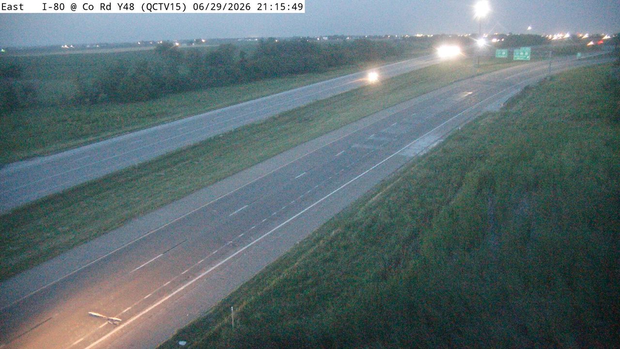 Not checked yetStill imageI-80 at MM 289.1 (Co Rd Y48), Quad Cities
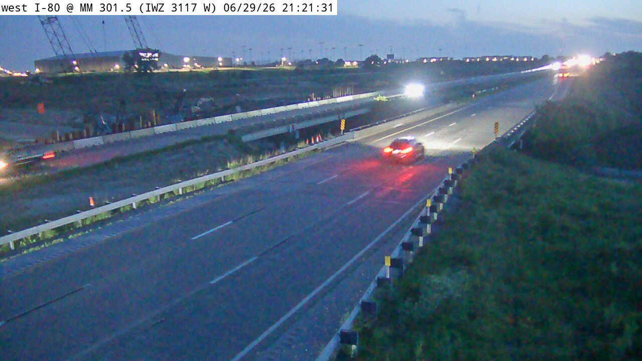 Not checked yetStill imageI-80 at MM 301.5 (IWZ 3117W)
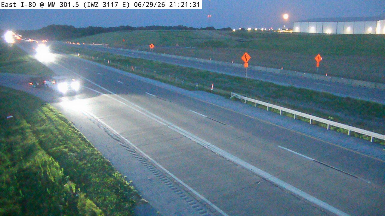 Not checked yetStill imageI-80 at MM 301.5 (IWZ 3117E)
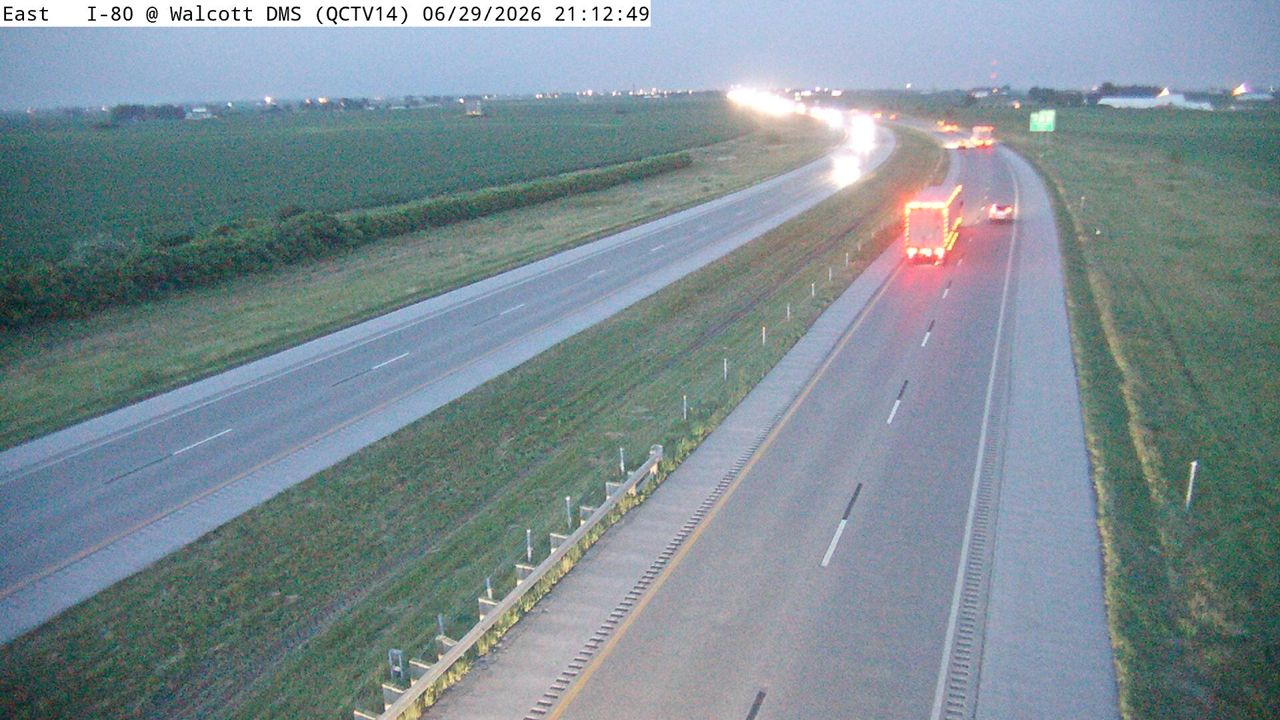 Not checked yetStill imageI-80 at MM 287.1 (Walcott DMS), Quad Cities
No live video among these cameras. Turn off "Live video only" to see them all.
Best cams to watch
- I-74 at MM 4.9 (Grant St), Quad Cities — Still image · every 5 min, working 100 % of the time in the last 30 days.
- US 67 at MM 0.2 (Centennial Bridge - IA), Quad Cities — Still image · every 5 min.
- US 67 at MM 0 (Centennial Bridge - IL), Quad Cities — Still image · every 5 min.
Davenport is the county seat of Scott County and Iowa's third-largest city, with about 102,000 residents at the 2020 census. It sits on the Mississippi River at the point where the river flows west for a stretch, and it is the largest of the Quad Cities, together with Bettendorf in Iowa and Rock Island, Moline and East Moline across the water in Illinois. Antoine Le Claire founded the town in 1836 and named it after his friend Colonel George Davenport. The city is known for having no permanent flood wall along its downtown riverfront, so spring floods sometimes reach LeClaire Park and the minor league ballpark, Modern Woodmen Park. The Figge Art Museum and the Putnam Museum are its main cultural stops.
Iowa DOT views around the Quad Cities
Iowa's transportation department provides two kinds of camera around Davenport: traffic views and road-weather views. The traffic cameras watch interchanges and lanes; the road-weather ones sit at highway weather stations and show the pavement to reveal snow, ice or standing water. Neither kind streams; both post a new frame on a short cycle. Interstate 80 crosses the north side of the city, Interstate 280 loops around the west side toward the river, and Interstate 74 begins at I-80 on the northeast edge and heads south through Bettendorf to its Mississippi bridge. LiveLocation matches each camera to its nearest place, so Iowa DOT views around these routes collect on this page.
Both banks of the river share Central Time, so there is no clock change when you cross from Davenport to Rock Island. Winters average about thirty inches of snow, so the road-weather views are a practical check on stormy mornings, and in spring the river level is worth watching. Late June sunsets arrive around half past eight, December ones around half past four. In July the Bix 7 road race and the Bix Beiderbecke Memorial Jazz Festival honor the jazz cornetist who grew up here, and the riverfront fills with runners and music fans.
Bettendorf adjoins Davenport to the east, the Centennial Bridge leads to Rock Island, and the Rock Island Arsenal occupies an island in the river between the two states.
Sources: Davenport, Iowa - Wikipedia · Iowa 511 (Iowa DOT traveler information) · Bix 7 Road Race.
Nearby places
- Waukegan (620)
- Wheaton (617)
- North Peoria (554)
- Peoria (553)
- Naperville (475)
- Gurnee (386)
- Palatine (354)
- Grayslake (346)
Questions about Davenport
How many live cameras are there in Davenport?
LiveLocation lists 47 cameras in and around Davenport, United States: 0 live video, 47 still images. 1 of them were live or showing a fresh image at the last check.
Who runs the cameras in Davenport?
All of them come from Iowa DOT (47). Each camera plays straight from the agency or owner that runs it, with credit. Iowa DOT
What can I see on the Davenport cameras?
The views are traffic and highway (39) and pass and road weather (8). Good ones to start with: I-74 at MM 4.9 (Grant St), Quad Cities. I-74 at MM 4.9 (Grant St), Quad Cities
Can I watch live video from Davenport?
Not yet: the cameras here send still images that refresh about every 6 minutes. The map can show only live-video cameras nearby. Live video on the map
What time is it in Davenport, and when is it light?
Davenport is on America/Chicago time. On October 8 the sun rises at 7:06 AM and sets at 6:32 PM, so still images are clearest between those times. Road cameras show the most traffic in the weekday morning and evening rush hours.
Which places near Davenport also have cameras?
The nearest are Rock Island (1.0 mi away, 19 cameras), Bettendorf (3.2 mi away, 17 cameras) and Moline (3.4 mi away, 17 cameras). Rock Island Bettendorf Moline
How can I see the Davenport cameras on a map?
The map at the top of this page shows all 47 of them. The live camera radar centers on Davenport and lists every camera within 5 to 250 miles, nearest first, with filters for live video, traffic, nature and more. Open the radar on Davenport
Place names and locations: GeoNames, licensed under CC BY 4.0.