Live cameras in Waukee, United States
40 cameras: 0 live video, 40 still images · 4 working now · updated Oct 8, 03:38 UTC
Waukee has 40 live cameras on LiveLocation right now: 0 live video, 40 still images. Good places to start: I-80 at MM 118.4 (Grand Prairie Pkwy N), I-80 at MM 115.2, I-80 at MM 114.2. Local time is 10:38 PM (America/Chicago). Today the sun rises at 7:19 AM and sets at 6:47 PM.
Waukee live cameras
Every Waukee live camera we know of: 0 live video, 40 still images. 4 of them were live or fresh at the last check. Waukee is home to about 19,000 people.
Weather now in Waukee: 58 °F (14 °C), mostly clear, wind 4 mph (7 km/h) from the west. Forecast for 11 PM local time. Weather: MET Norway (CC BY 4.0)
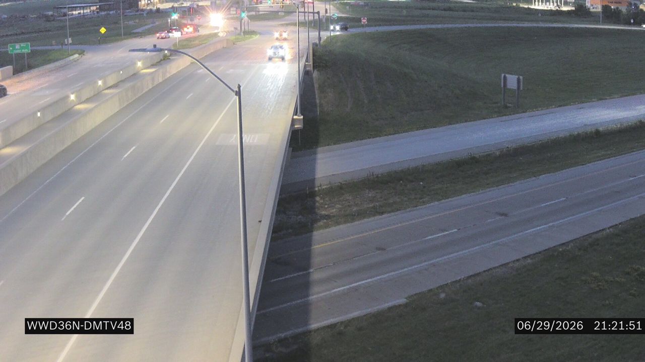 WorkingStill imageI-80 at MM 118.4 (Grand Prairie Pkwy N)
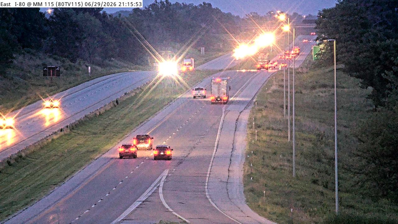 WorkingStill imageI-80 at MM 115.2
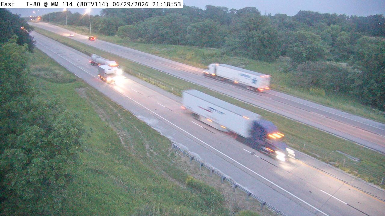 WorkingStill imageI-80 at MM 114.2
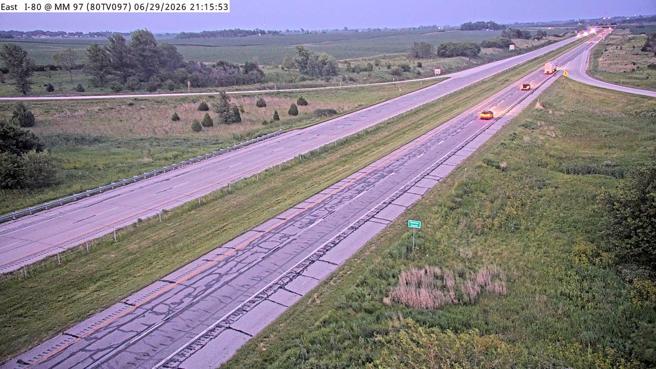 WorkingStill imageI-80 at MM 97
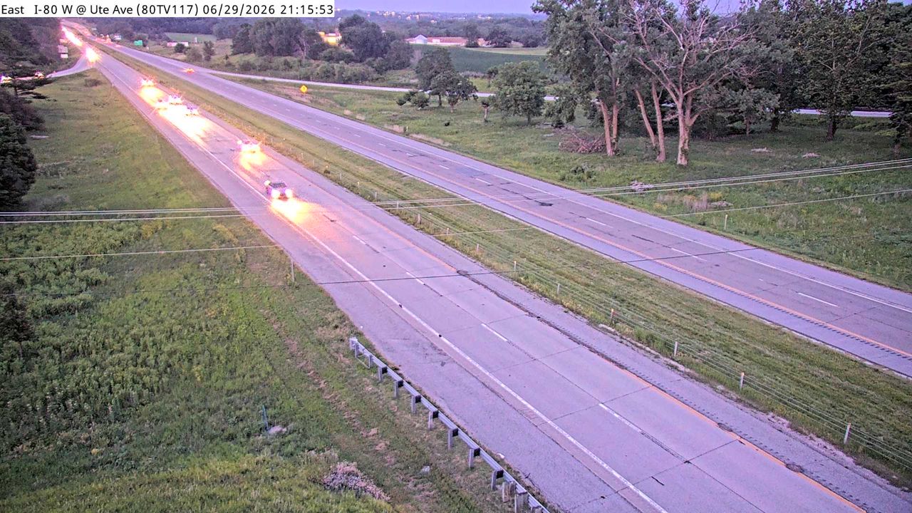 Not checked yetStill imageI-80 at MM 116.9
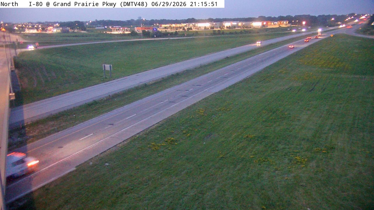 Not checked yetStill imageI-80 at MM 118.4 (Grand Prairie Pkwy), Des Moines
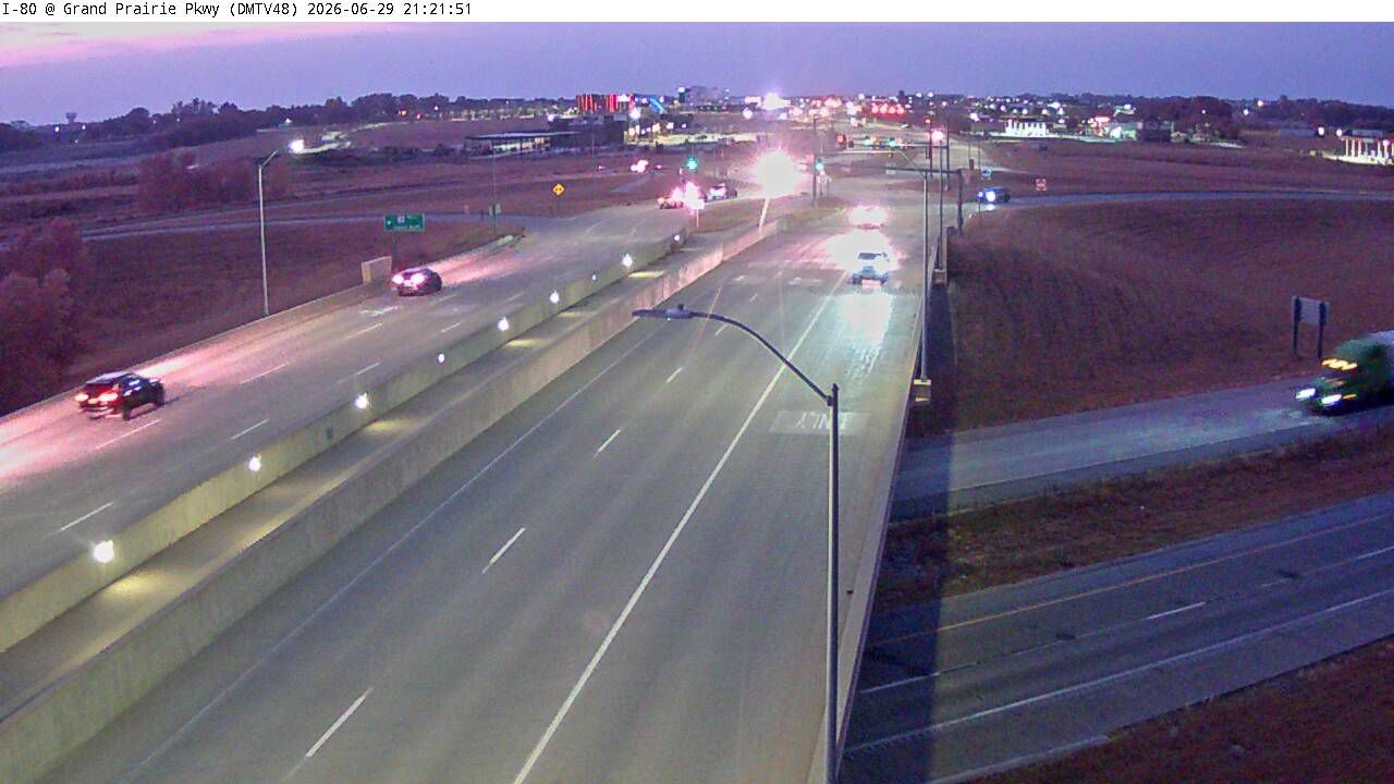 Not checked yetStill imageI-80 at MM 118.4 (Grand Prairie Pkwy)-Q, Des Moines
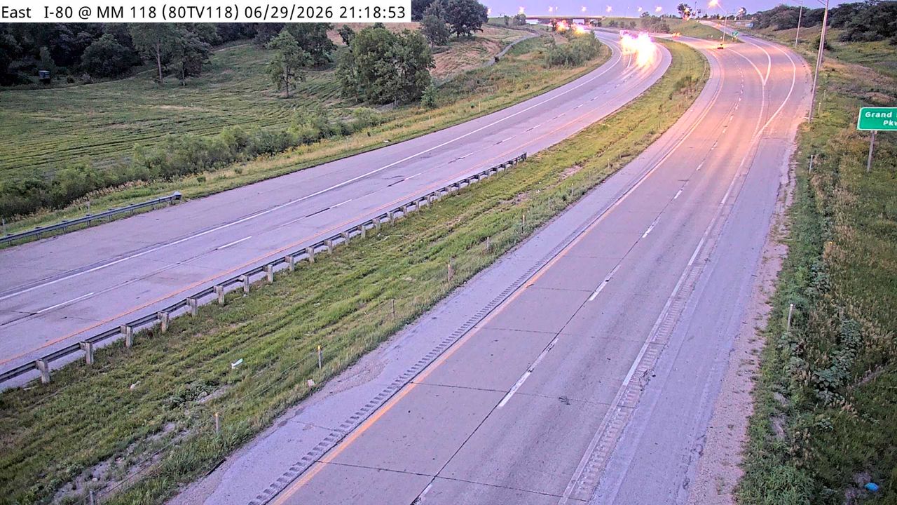 Not checked yetStill imageI-80 at MM 117.8
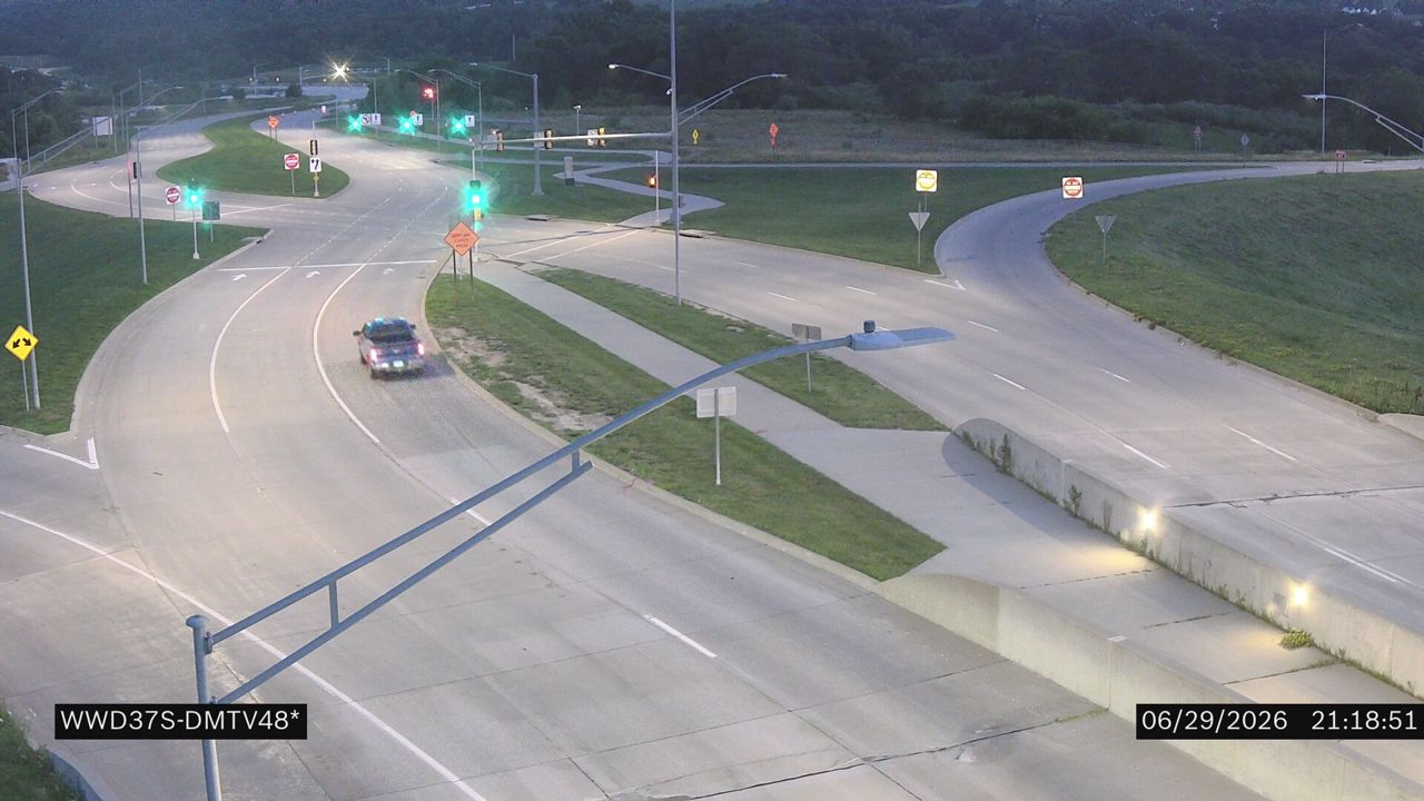 Not checked yetStill imageI-80 at MM 118.4 (Grand Prairie Pkwy S)
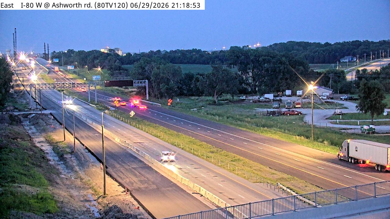 Not checked yetStill imageI-80 at MM 119.7
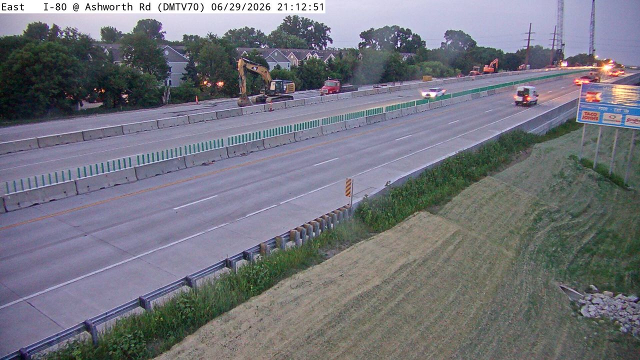 Not checked yetStill imageI-80 at MM 120.4 (Ashworth Rd), Des Moines
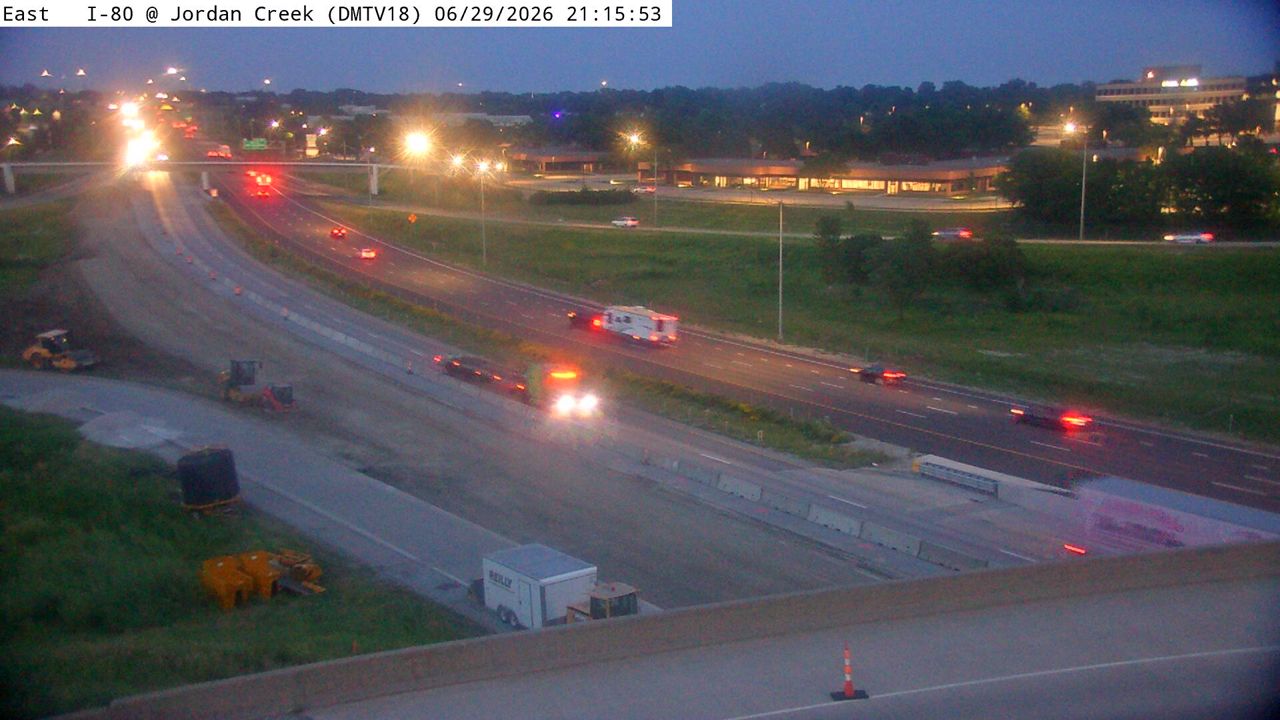 Not checked yetStill imageI-80 at MM 121.2 (Jordan Creek Pkwy), Des Moines
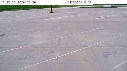 Not checked yetStill imageWeigh Station: I-80 EB MM 115 near De Soto
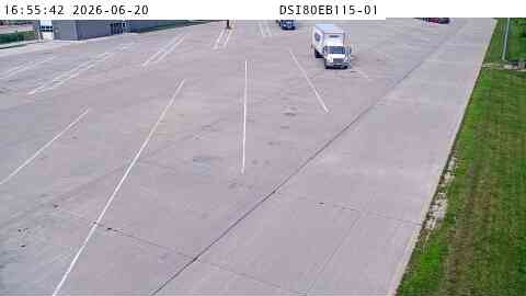 Not checked yetStill imageWeigh Station: I-80 EB MM 115 near De Soto
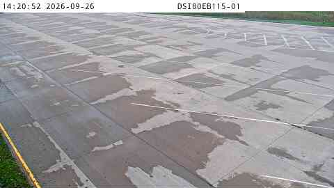 Not checked yetStill imageWeigh Station: I-80 EB MM 115 near De Soto
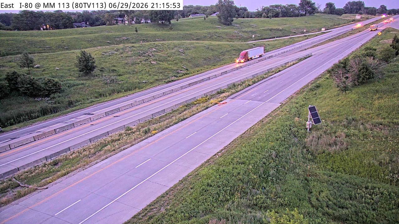 Not checked yetStill imageI-80 at MM 113
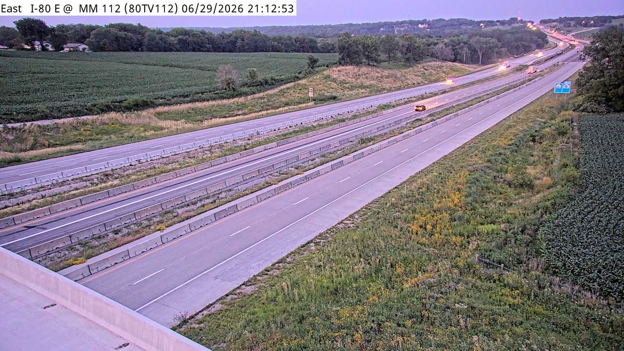 Not checked yetStill imageI-80 at MM 111.9
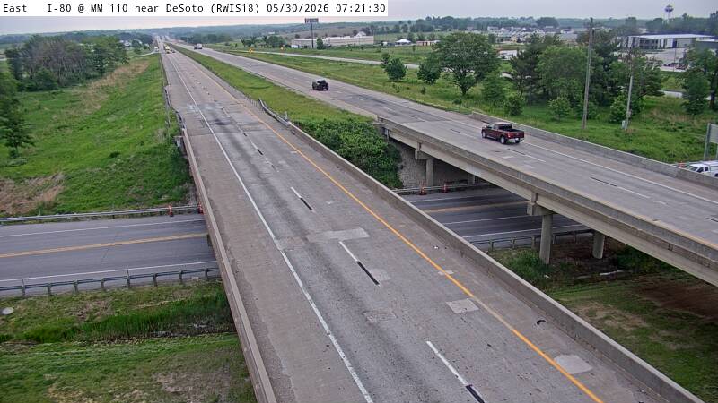 Not checked yetStill imageI-80 MM 110 at De Soto
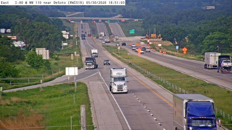 Not checked yetStill imageI-80 MM 110 at De Soto
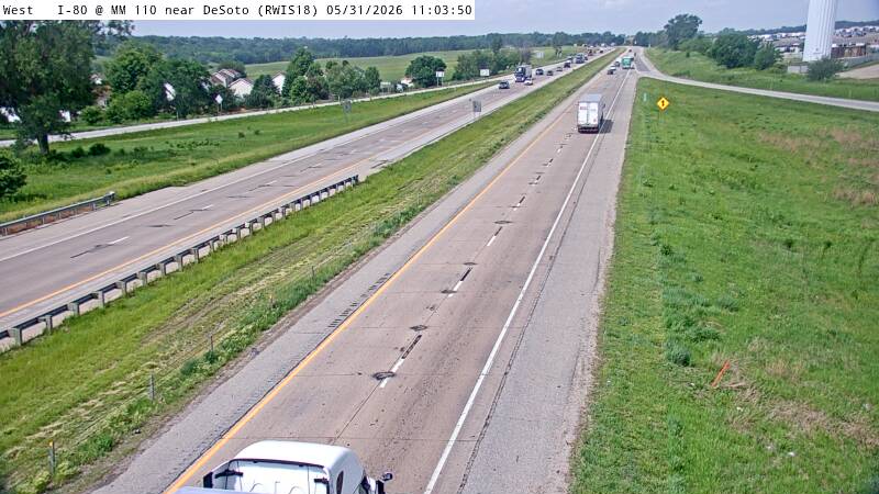 Not checked yetStill imageI-80 MM 110 at De Soto, view 2
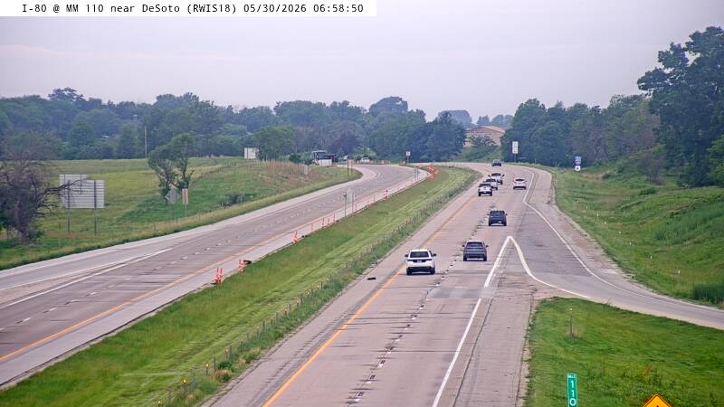 Not checked yetStill imageI-80 MM 110 at De Soto, view 3
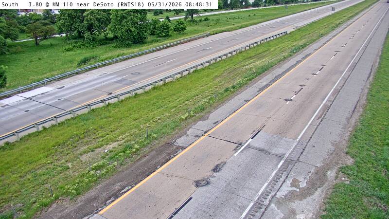 Not checked yetStill imageI-80 MM 110 at De Soto, view 4
 Not checked yetStill imageI-80 MM 110 at De Soto, view 5
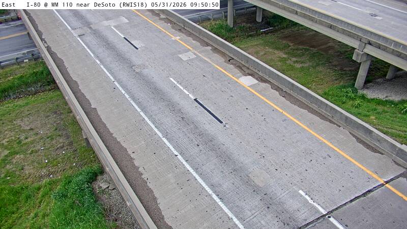 Not checked yetStill imageI-80 MM 110 at De Soto, view 6
 Not checked yetStill imageI-80 MM 110 at De Soto, view 7
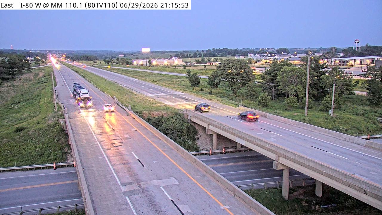 Not checked yetStill imageI-80 at MM 109.9
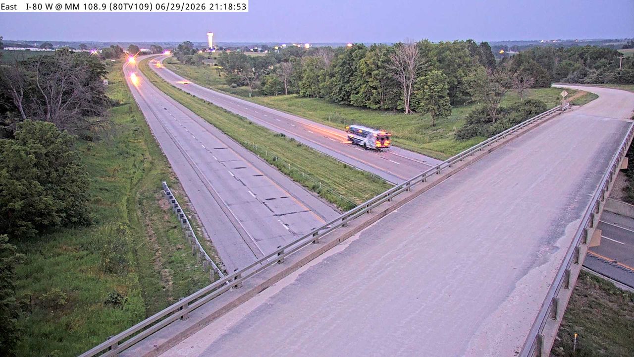 Not checked yetStill imageI-80 at MM 108.6
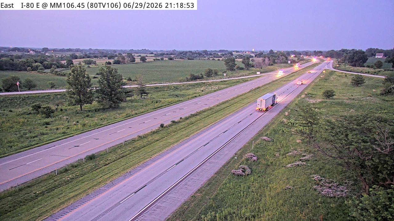 Not checked yetStill imageI-80 at MM 106.2
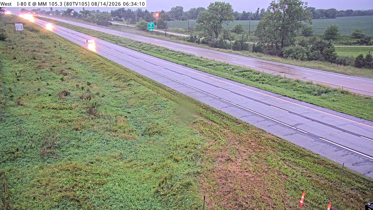 Not checked yetStill imageI-80 at MM 105.1
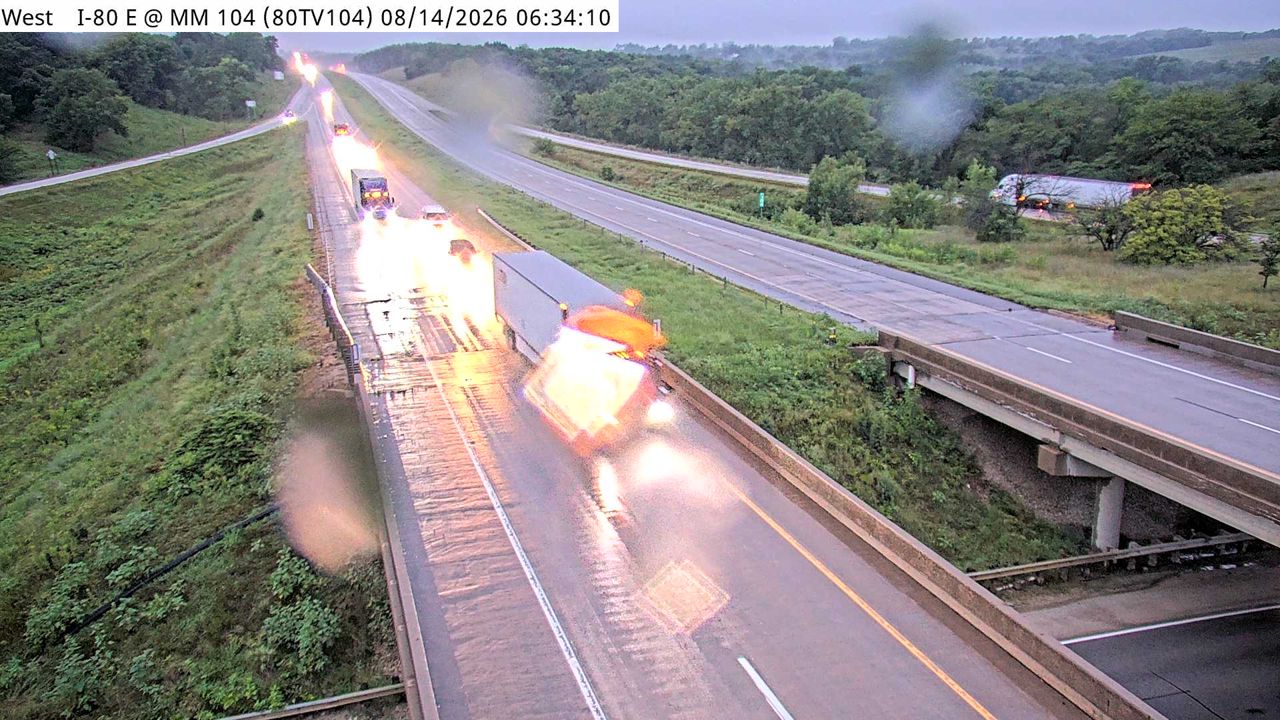 Not checked yetStill imageI-80 at MM 104.05
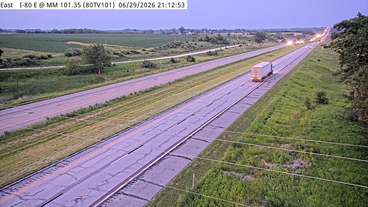 Not checked yetStill imageI-80 at MM 101.1
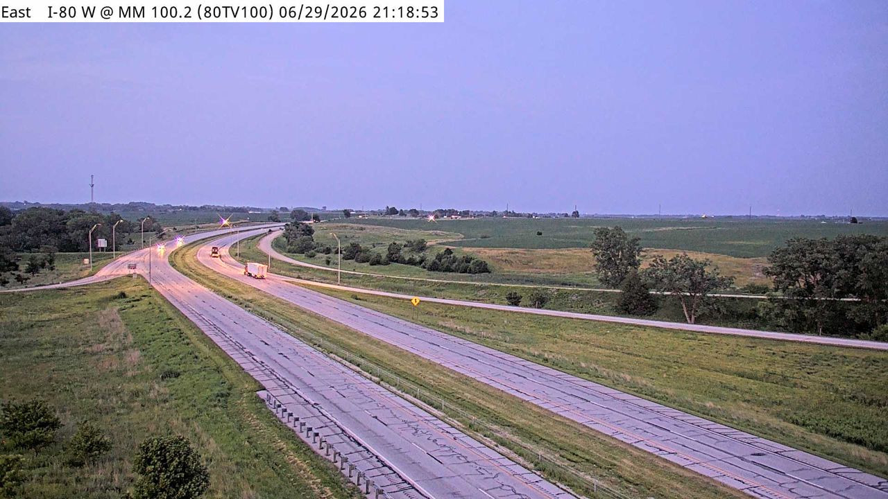 Not checked yetStill imageI-80 at MM 99.9
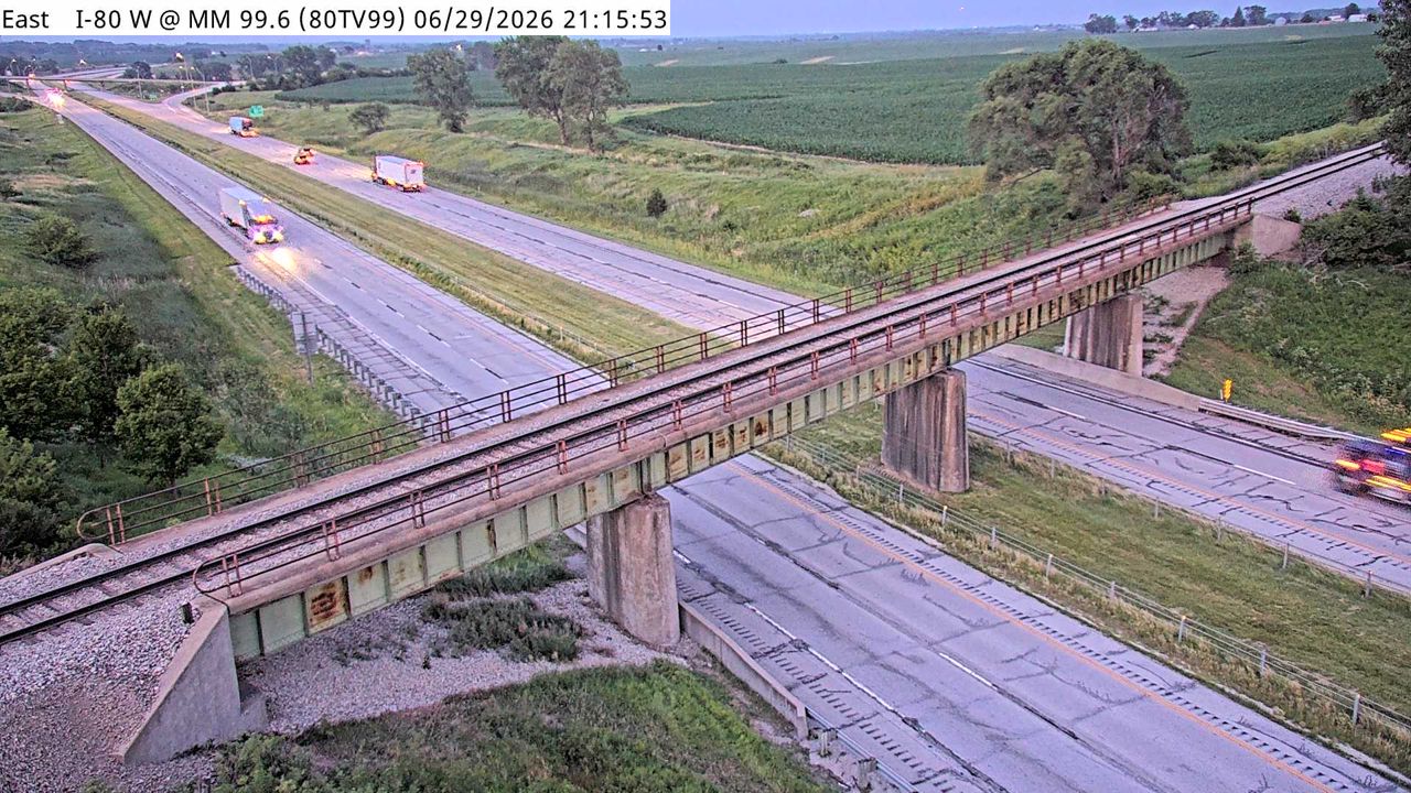 Not checked yetStill imageI-80 at MM 99.3
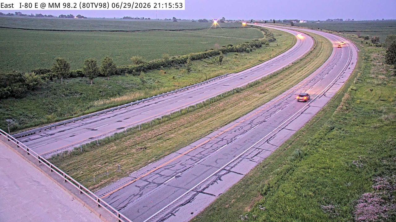 Not checked yetStill imageI-80 at MM 97.9
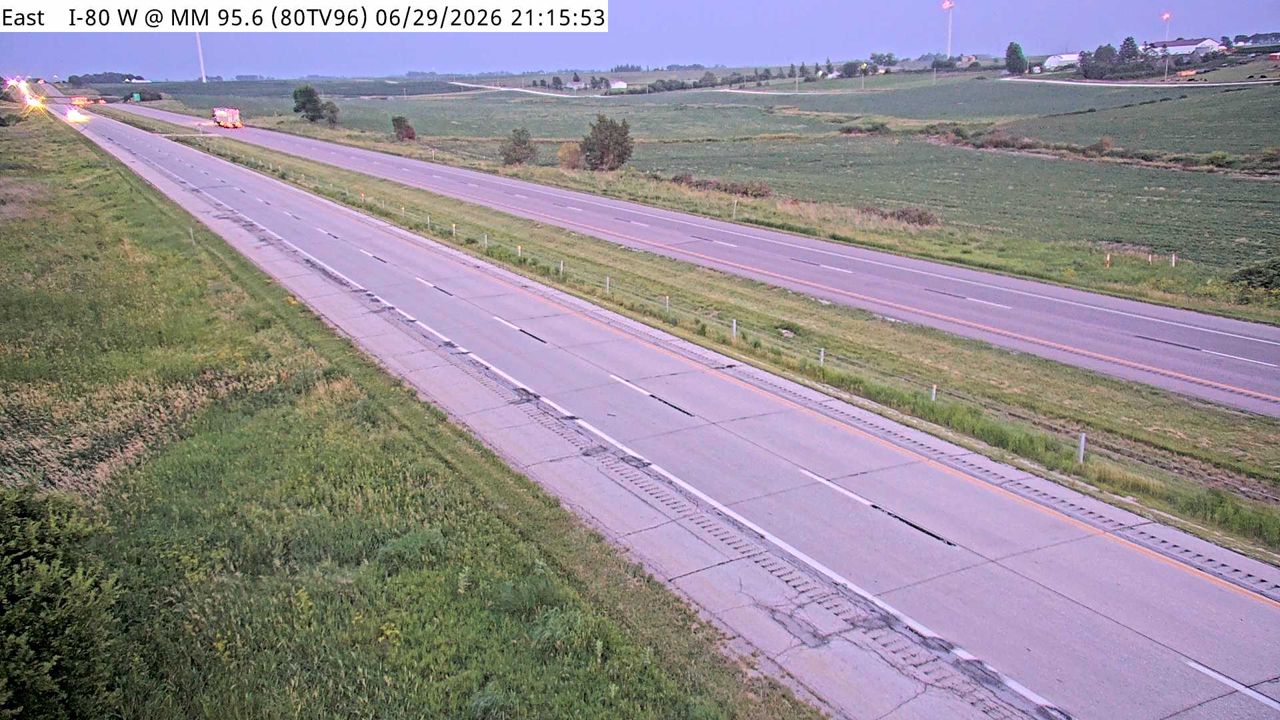 Not checked yetStill imageI-80 at MM 95.4
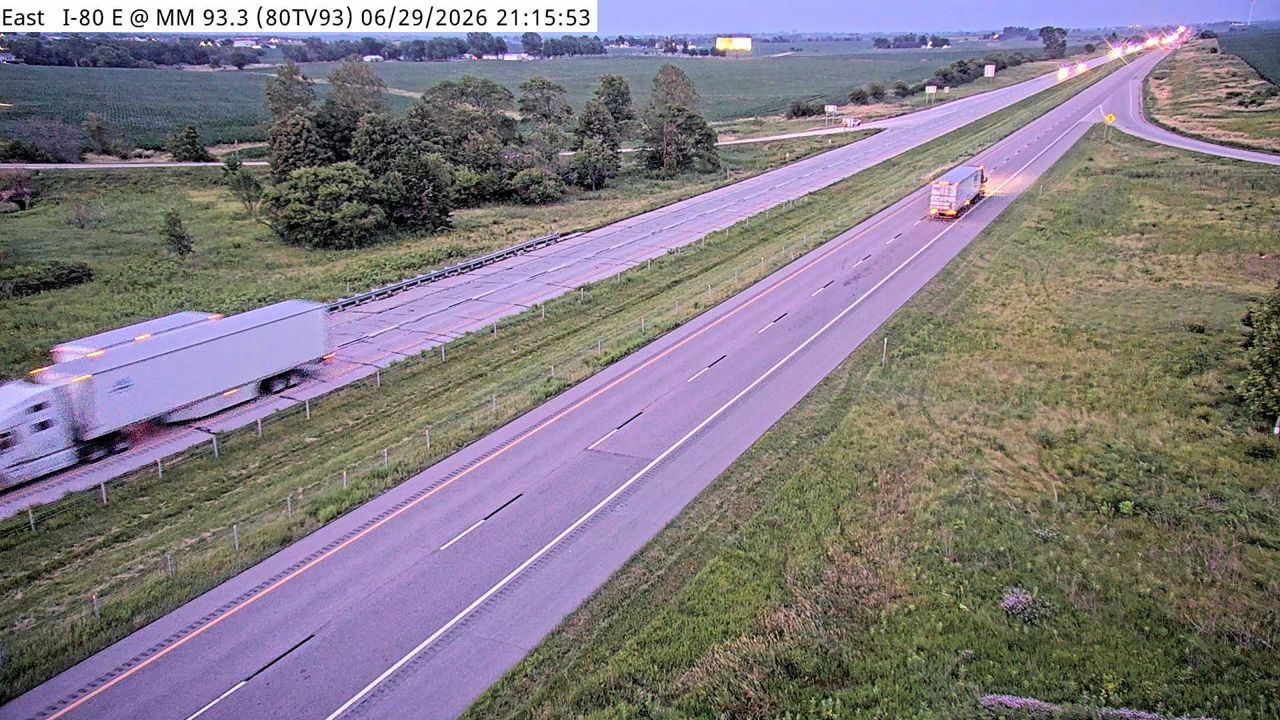 Not checked yetStill imageI-80 at MM 93
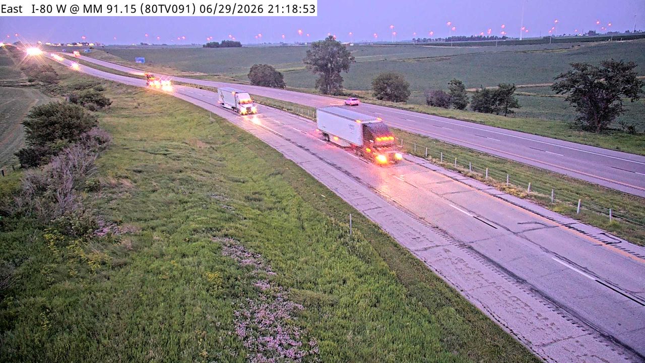 Not checked yetStill imageI-80 at MM 90.9
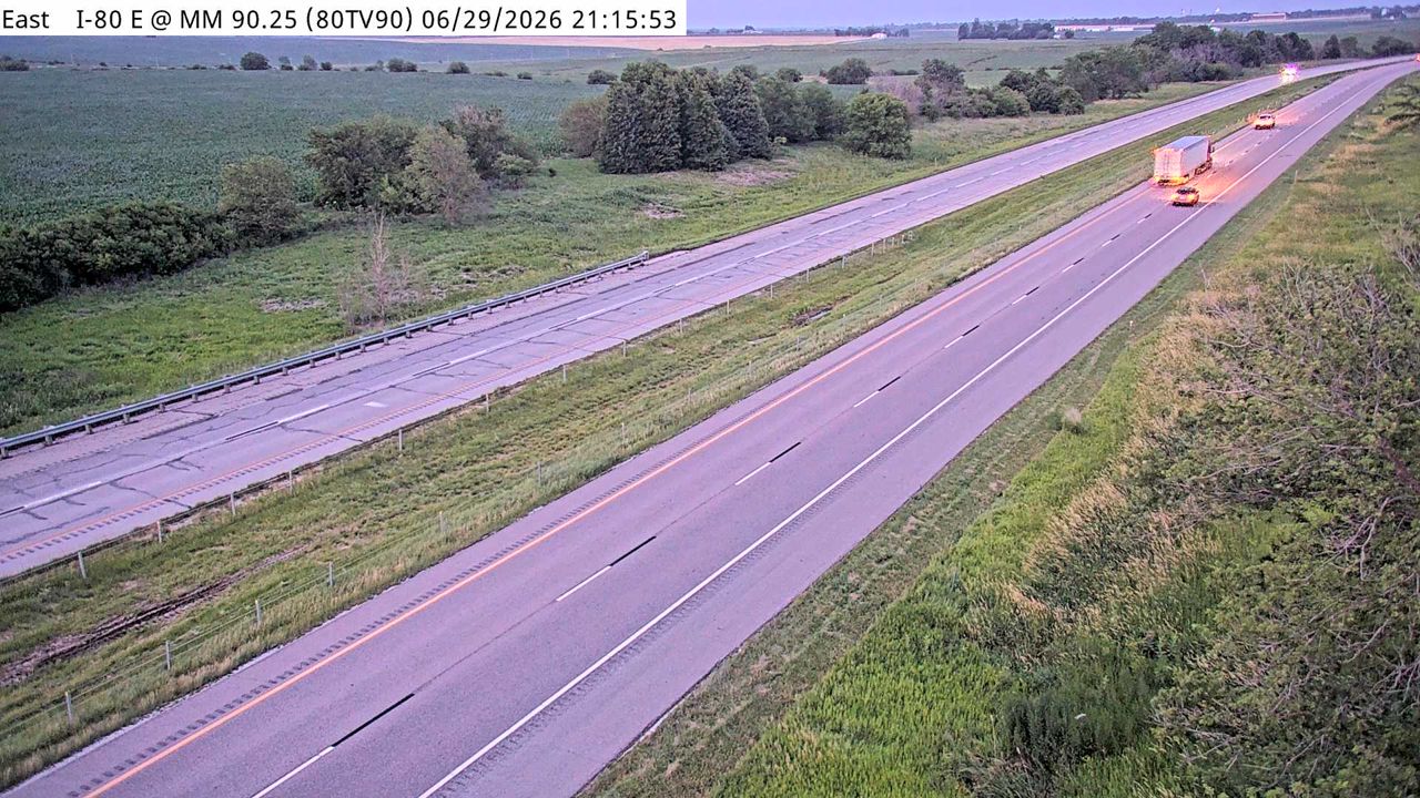 Not checked yetStill imageI-80 at MM 90
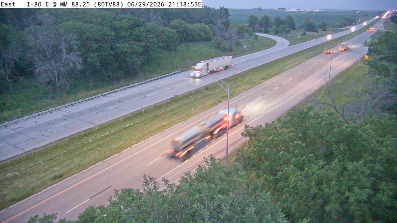 Not checked yetStill imageI-80 at MM 88
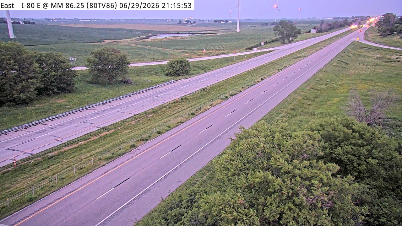 Not checked yetStill imageI-80 at MM 86
No live video among these cameras. Turn off "Live video only" to see them all.
Best cams to watch
- I-80 at MM 118.4 (Grand Prairie Pkwy N) — Still image · every 5 min, working 100 % of the time in the last 30 days.
- I-80 at MM 115.2 — Still image · every 5 min, working 100 % of the time in the last 30 days.
- I-80 at MM 114.2 — Still image · every 5 min, working 100 % of the time in the last 30 days.
Waukee is a fast-growing city in Dallas County, Iowa, on the western side of the Des Moines metropolitan area. The 2020 census counted about 24,000 residents, several thousand more than a decade earlier, and its school district is described as the fastest growing in the state. Waukee was founded in 1869 and incorporated in 1878 as a small farm and railroad town; today new neighborhoods stretch toward West Des Moines and Clive, and Apple chose the city in 2017 for a large data center campus. The Raccoon River Valley Trail, a long paved rail trail, starts here and runs west through the countryside, which makes the old downtown a popular stop for cyclists.
Highway and road-weather views
Waukee's views are run by the Iowa Department of Transportation, which mixes two kinds of camera on the western metro roads. Some are traffic cameras watching interchanges and highway lanes, and others are road-weather cameras mounted at weather stations along the highways, where they show pavement and sky so crews and drivers can judge snow, ice and visibility. None is video; each one posts a new picture at short intervals. Interstate 80 passes the city on its way west toward Council Bluffs, and U.S. Route 6 runs through town; because LiveLocation links each camera to its nearest place, this page also collects Iowa DOT views from the western edge of the metro around those routes.
Waukee is on Central Time and moves to daylight saving time from March to November. Winter is the season when these images are most useful: snowstorms and blowing snow can close lanes on I-80, and the road-weather cameras show whether the pavement is bare or covered. Summer brings heat, humidity and thunderstorms, and evenings stay light until nearly nine o'clock in late June. By the December solstice, the light over the Raccoon River Valley Trail is gone before five. Weekday mornings and late afternoons show commuter traffic toward downtown Des Moines.
The Jordan Creek shopping district in West Des Moines lies just to the southeast, and downtown Des Moines with the Iowa State Capitol is about a twenty-minute drive east.
Sources: Waukee, Iowa - Wikipedia · Iowa 511 (Iowa DOT traveler information) · Raccoon River Valley Trail.
Nearby places
- Cedar Rapids (104)
- Des Moines (103)
- Council Bluffs (101)
- West Des Moines (95)
- Ankeny (80)
- Galesburg (77)
- Omaha (63)
- Ames (63)
Questions about Waukee
How many webcams can I watch in Waukee?
LiveLocation lists 40 cameras in and around Waukee, United States: 0 live video, 40 still images. 4 of them were live or showing a fresh image at the last check.
Where do the Waukee cameras come from?
All of them come from Iowa DOT (40). Each camera plays straight from the agency or owner that runs it, with credit. Iowa DOT
What kinds of views are there in Waukee?
The views are traffic and highway (32) and pass and road weather (8). Good ones to start with: I-80 at MM 118.4 (Grand Prairie Pkwy N) and I-80 at MM 115.2. I-80 at MM 118.4 (Grand Prairie Pkwy N) I-80 at MM 115.2
Is there live video from Waukee?
Not yet: the cameras here send still images that refresh about every 6 minutes. The map can show only live-video cameras nearby. Live video on the map
When is the best time to watch the Waukee cameras?
Waukee is on America/Chicago time. On October 7 the sun rises at 7:19 AM and sets at 6:47 PM, so still images are clearest between those times. Road cameras show the most traffic in the weekday morning and evening rush hours.
Are there live cameras near Waukee?
The nearest are Clive (8.3 mi away, 42 cameras), Urbandale (9.0 mi away, 41 cameras) and West Des Moines (9.3 mi away, 95 cameras). Clive Urbandale West Des Moines
Is there a map of the cameras in Waukee?
The map at the top of this page shows all 40 of them. The live camera radar centers on Waukee and lists every camera within 5 to 250 miles, nearest first, with filters for live video, traffic, nature and more. Open the radar on Waukee
Place names and locations: GeoNames, licensed under CC BY 4.0.