Live cameras in Abbotsford, Canada
36 cameras: 0 live video, 36 still images · 35 working now · updated Oct 8, 03:31 UTC
Abbotsford has 36 live cameras on LiveLocation right now: 0 live video, 36 still images. Good places to start: Highway 1, Sumas Way, looking east, Highway 1, Sumas Way, looking west, Highway 11, Hwy 11 at Clayburn Road, looking east. Local time is 8:31 PM (America/Vancouver). Today the sun rises at 7:18 AM and sets at 6:35 PM.
Abbotsford live cameras
Every Abbotsford live camera we know of: 0 live video, 36 still images. 35 were working at the last check. Abbotsford is home to about 141,000 people.
Weather now in Abbotsford: 11 °C (53 °F), fog, wind 2 km/h (1 mph) from the northwest. Forecast for 9 PM local time. Weather: MET Norway (CC BY 4.0)
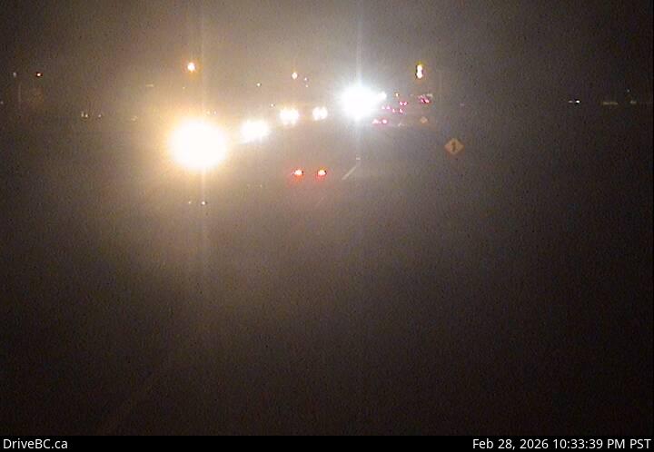 WorkingStill imageHighway 1, Sumas Way, looking east
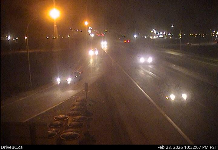 WorkingStill imageHighway 1, Sumas Way, looking west
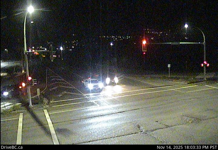 WorkingStill imageHighway 11, Hwy 11 at Clayburn Road, looking east
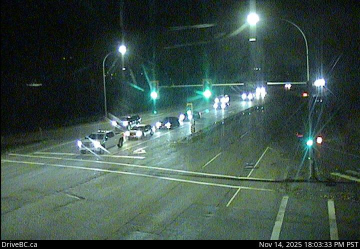 WorkingStill imageHighway 11, Hwy 11 at Clayburn Road, looking south
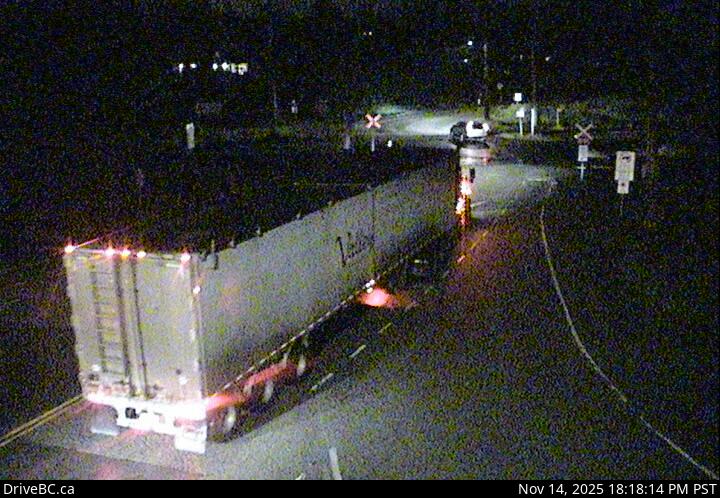 WorkingStill imageHighway 11, Hwy 11 at Clayburn Road, looking west
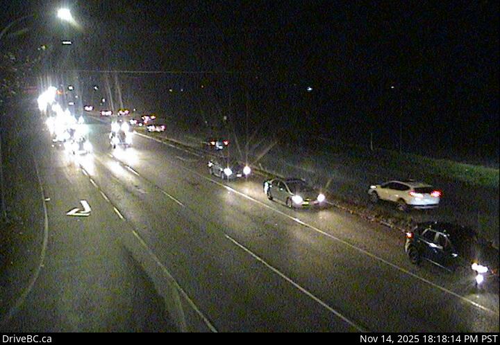 WorkingStill imageHighway 11, Hwy 11 at Clayburn Road, looking north
 WorkingStill imageHighway 1, McCallum Road Roundabout Southbound
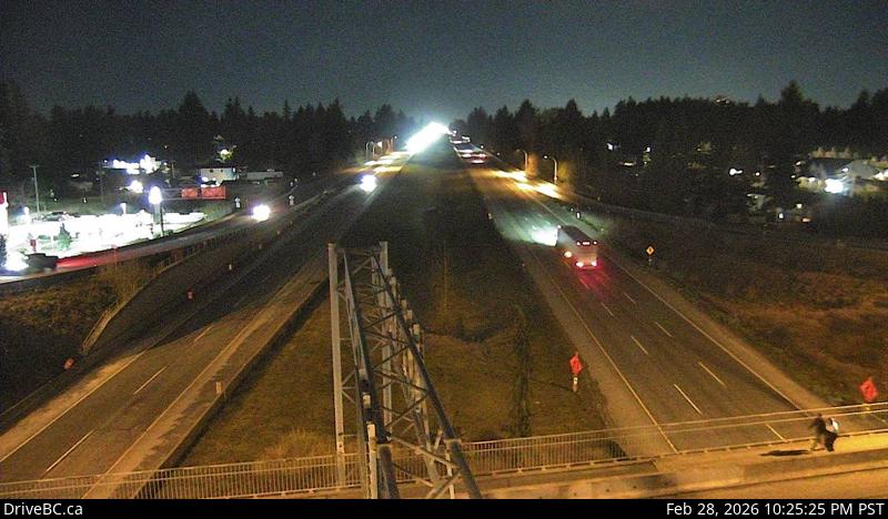 WorkingStill imageHighway 1, McCallum Road, looking west
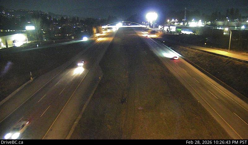 WorkingStill imageHighway 1, McCallum Road, looking east
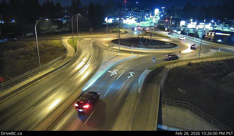 WorkingStill imageHighway 1, McCallum Road Roundabout Northbound
 WorkingStill imageHighway 11, Hwy 11 at Farmer Road, looking north
 WorkingStill imageHighway 11, Hwy 11 at Farmer Road, looking south
 WorkingStill imageHighway 1, Cole Road, looking east
 WorkingStill imageHighway 1, Cole Road, looking west
 WorkingStill imageHighway 11, Hwy 11 at Harris Road, looking east
 WorkingStill imageHighway 11, Hwy 11 at Harris Road, looking south
 WorkingStill imageHighway 11, Hwy 11 at Harris Road, looking north
 WorkingStill imageHighway 11, Hwy 11 at Harris Road, looking west
 WorkingStill imageHighway 11, Abbotsford-Huntingdon Border Crossing, looking south
 WorkingStill imageHighway 11, Abbotsford-Huntingdon Border Crossing, looking north
 WorkingStill imageHighway 1, Clearbrook, looking south
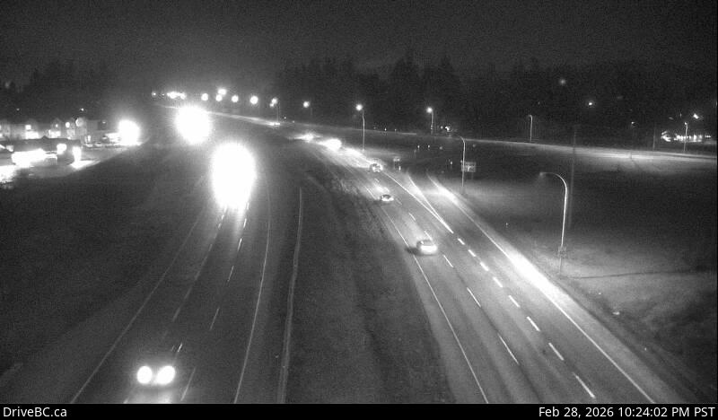 WorkingStill imageHighway 1, Clearbrook, looking east
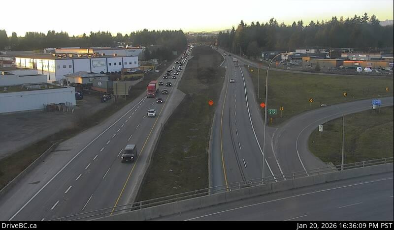 WorkingStill imageHighway 1, Clearbrook, looking west
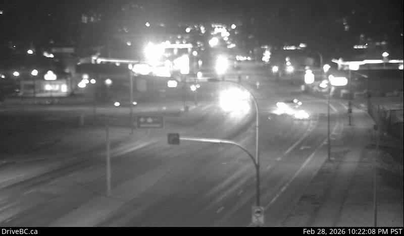 WorkingStill imageHighway 1, Clearbrook, looking north
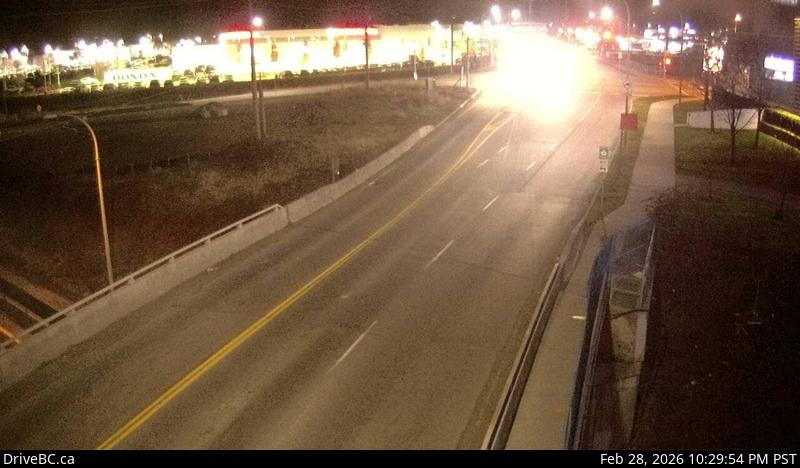 WorkingStill imageHighway 1, Mount Lehman, looking north
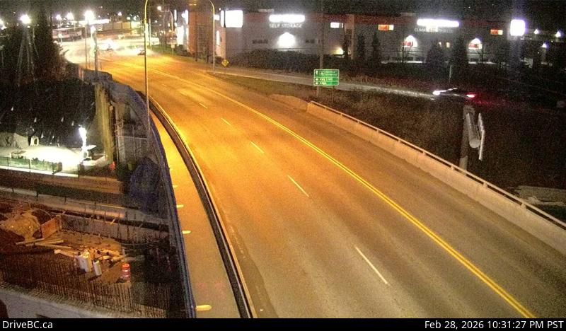 WorkingStill imageHighway 1, Mount Lehman, looking south
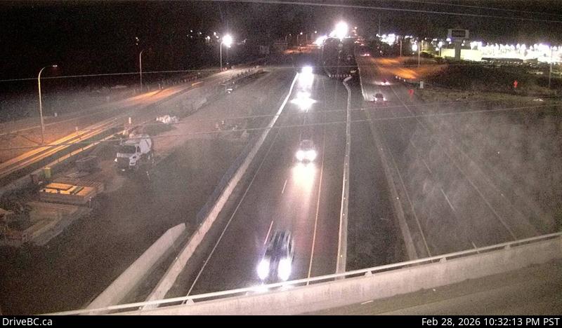 WorkingStill imageHighway 1, Mount Lehman, looking west
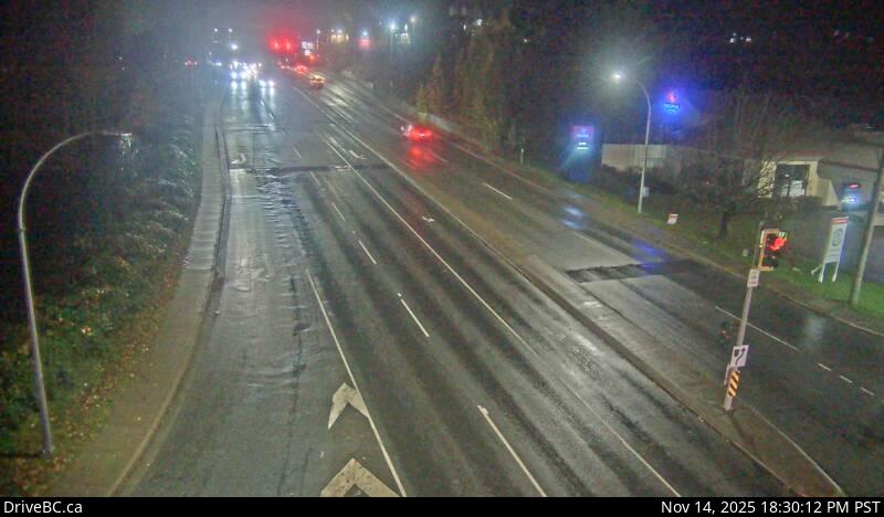 WorkingStill imageHighway 7, Mission, looking west
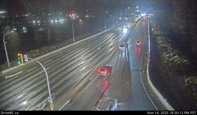 WorkingStill imageHighway 7, Mission, looking south
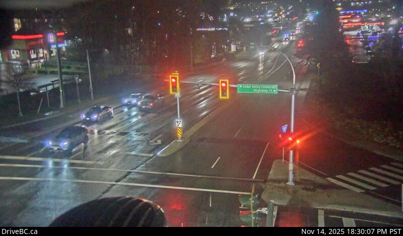 WorkingStill imageHighway 7, Mission, looking east
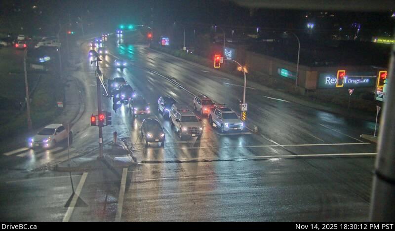 WorkingStill imageHighway 7, Mission, looking north
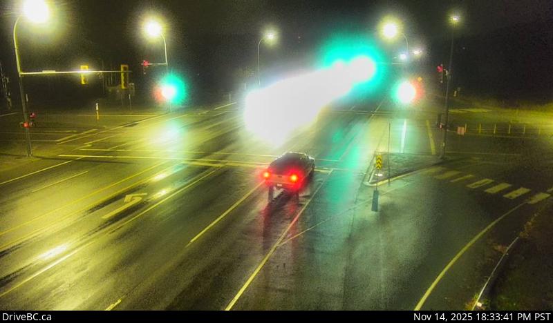 WorkingStill imageHighway 7, Nelson Street, looking west
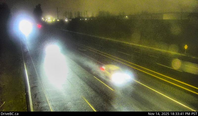 WorkingStill imageHighway 7, Nelson Street, looking east
 WorkingStill imageHighway 1, Vedder Canal Bridge, looking east
 WorkingStill imageHighway 1, Vedder Canal Bridge, looking west
 IntermittentStill imageHighway 1, Mount Lehman, looking east
No live video among these cameras. Turn off "Live video only" to see them all.
Best cams to watch
- Highway 1, Sumas Way, looking east — Still image · every 14 min, working 100 % of the time in the last 30 days.
- Highway 1, Sumas Way, looking west — Still image · every 14 min, working 100 % of the time in the last 30 days.
- Highway 11, Hwy 11 at Clayburn Road, looking east — Still image · every 18 min, working 100 % of the time in the last 30 days.
Abbotsford is the largest city in British Columbia's Fraser Valley and the most populous municipality in the province outside Metro Vancouver, with about 154,000 people at the 2021 census. It is also the largest city in the province by land area. Abbotsford spreads from the Fraser River south to the United States border, and on clear days snow-capped Mount Baker in Washington State fills the southern view. Much of its land is farmed. The area grows raspberries, blueberries and other berries in large amounts, and it is a major center for dairy and eggs. In November 2021 an atmospheric river flooded the low-lying Sumas Prairie, forcing evacuations and closing highways for days. Abbotsford International Airport is home to the long-running Abbotsford Airshow each August.
The cameras here
DriveBC supplies Abbotsford's cameras too, as snapshots that update every few minutes. Many look along the Trans-Canada Highway, Highway 1, which crosses the city between Langley and Chilliwack. Highway 11 runs north and south through town, from the Mission Bridge over the Fraser River down to the Sumas-Huntingdon border crossing, where DriveBC border cameras show the lineups for travelers heading into Washington State.
Abbotsford is on Pacific Time. Weekday traffic peaks toward Vancouver in the morning and back east in the late afternoon. Border waits tend to grow on long weekends and summer weekends. Winters are usually mild and wet, but cold outflow winds from the Fraser Canyon can bring snow and icy patches, and heavy autumn rains can raise the rivers. The cameras are a quick way to see whether Highway 1 is clear through the Sumas area during those storms.
Nearby, the town of Mission sits across the Fraser River at the north end of Highway 11, and the Sumas Mountain area to the east offers trails and wide views over the prairie.
Sources: Abbotsford, British Columbia - Wikipedia · DriveBC - British Columbia highway cameras · Abbotsford International Airshow.
Nearby places
- Surrey (212)
- Fleetwood (126)
- Vancouver (120)
- New Westminster (111)
- Langley (107)
- Burnaby (102)
- Delta (78)
- Maple Ridge (76)
Questions about Abbotsford
How many webcams can I watch in Abbotsford?
LiveLocation lists 36 cameras in and around Abbotsford, Canada: 0 live video, 36 still images. 35 of them were live or showing a fresh image at the last check.
Where do the Abbotsford cameras come from?
All of them come from DriveBC (36). Each camera plays straight from the agency or owner that runs it, with credit. DriveBC
What kinds of views are there in Abbotsford?
The views are traffic and highway (30), border crossing (4) and bridge (2). Good ones to start with: Highway 1, Sumas Way, looking east and Highway 1, Sumas Way, looking west. Highway 1, Sumas Way, looking east Highway 1, Sumas Way, looking west
Is there live video from Abbotsford?
Not yet: the cameras here send still images that refresh about every 14 minutes. The map can show only live-video cameras nearby. Live video on the map
When is the best time to watch the Abbotsford cameras?
Abbotsford is on America/Vancouver time. On October 7 the sun rises at 7:18 AM and sets at 6:35 PM, so still images are clearest between those times. Road cameras show the most traffic in the weekday morning and evening rush hours.
Are there live cameras near Abbotsford?
The nearest are Mission (9.1 km away, 18 cameras), Chilliwack (25 km away, 37 cameras) and Langley (30 km away, 107 cameras). Mission Chilliwack Langley
Is there a map of the cameras in Abbotsford?
The map at the top of this page shows all 36 of them. The live camera radar centers on Abbotsford and lists every camera within 5 to 250 km, nearest first, with filters for live video, traffic, nature and more. Open the radar on Abbotsford
Place names and locations: GeoNames, licensed under CC BY 4.0.