Live cameras in Mission, Canada
18 cameras: 0 live video, 18 still images · 18 working now · updated Oct 8, 03:31 UTC
Mission has 18 live cameras on LiveLocation right now: 0 live video, 18 still images. Good places to start: Highway 7, Mission, looking west, Highway 7, Mission, looking south, Highway 7, Mission, looking east. Local time is 8:31 PM (America/Vancouver). Today the sun rises at 7:18 AM and sets at 6:35 PM.
Mission live cameras
Every Mission live camera we know of: 0 live video, 18 still images. 18 of them were live or fresh at the last check. Mission is home to about 42,000 people.
Weather now in Mission: 12 °C (54 °F), fog, wind 3 km/h (2 mph) from the west. Forecast for 9 PM local time. Weather: MET Norway (CC BY 4.0)
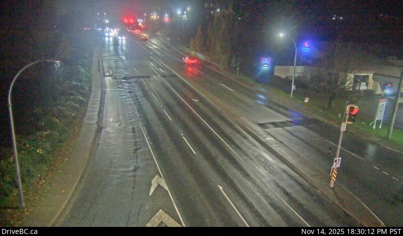 WorkingStill imageHighway 7, Mission, looking west
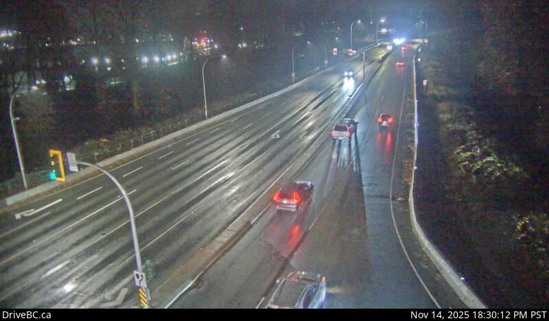 WorkingStill imageHighway 7, Mission, looking south
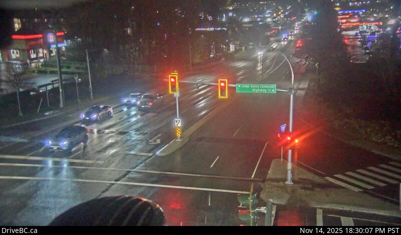 WorkingStill imageHighway 7, Mission, looking east
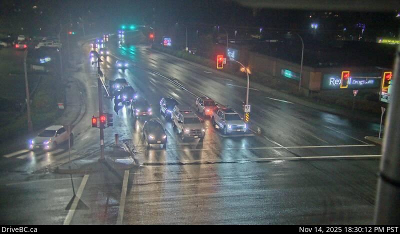 WorkingStill imageHighway 7, Mission, looking north
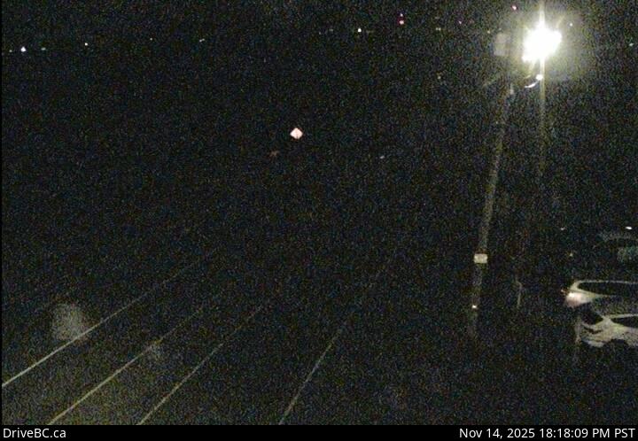 WorkingStill imageHighway 11, Hwy 11 at Harris Road, looking east
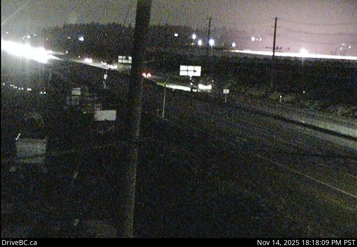 WorkingStill imageHighway 11, Hwy 11 at Harris Road, looking south
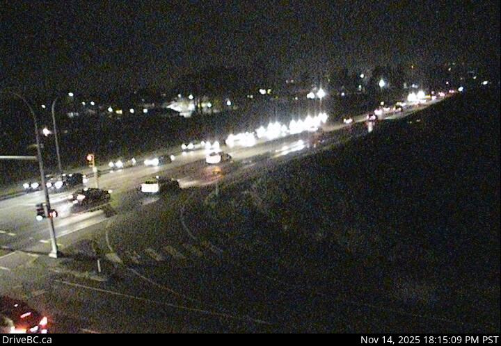 WorkingStill imageHighway 11, Hwy 11 at Harris Road, looking north
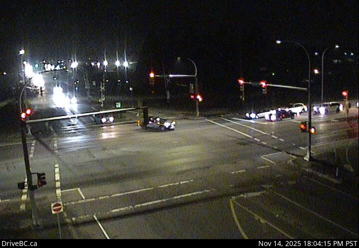 WorkingStill imageHighway 11, Hwy 11 at Harris Road, looking west
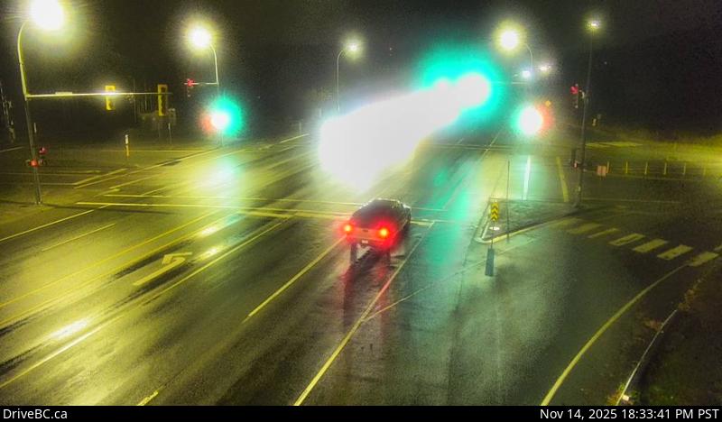 WorkingStill imageHighway 7, Nelson Street, looking west
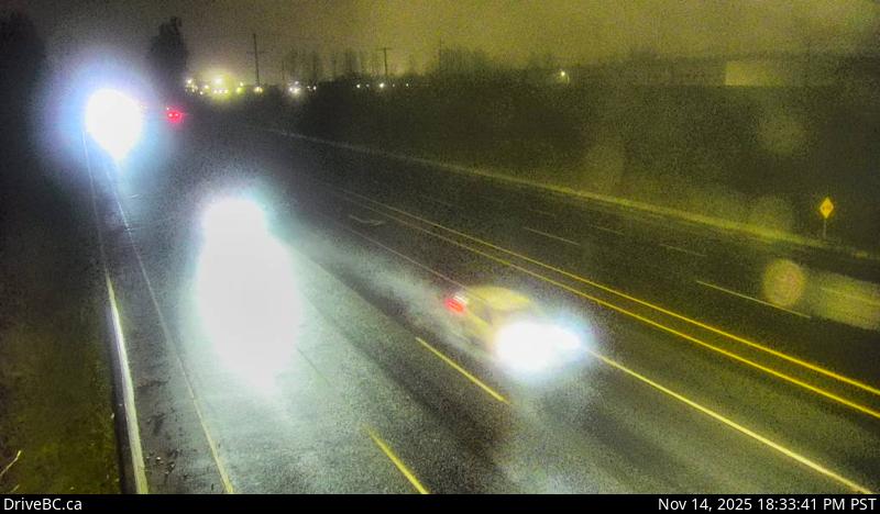 WorkingStill imageHighway 7, Nelson Street, looking east
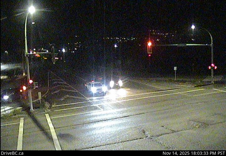 WorkingStill imageHighway 11, Hwy 11 at Clayburn Road, looking east
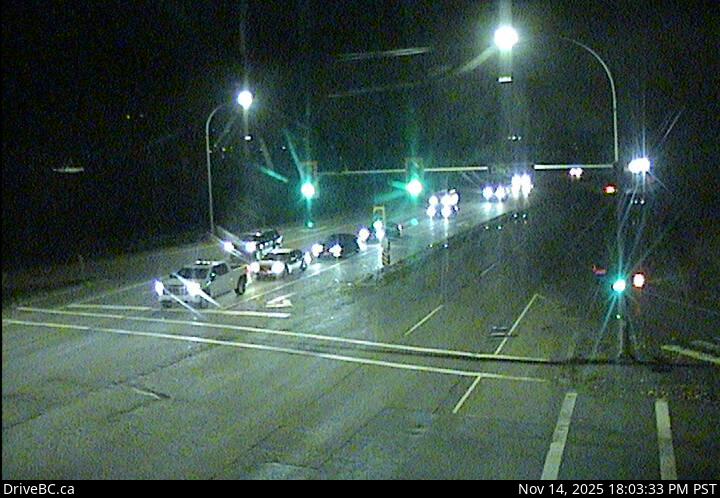 WorkingStill imageHighway 11, Hwy 11 at Clayburn Road, looking south
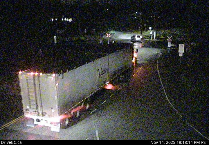 WorkingStill imageHighway 11, Hwy 11 at Clayburn Road, looking west
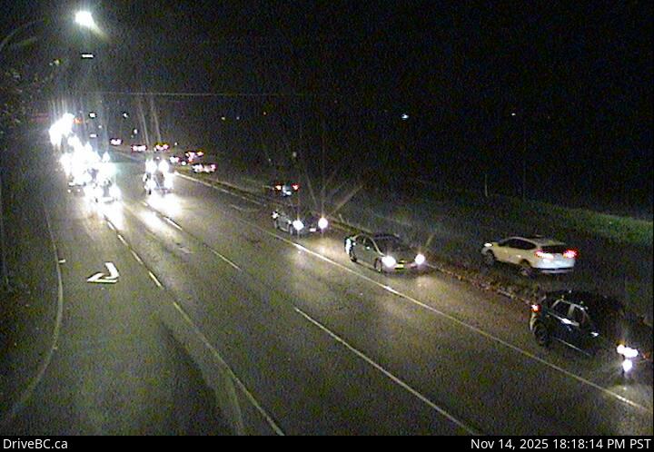 WorkingStill imageHighway 11, Hwy 11 at Clayburn Road, looking north
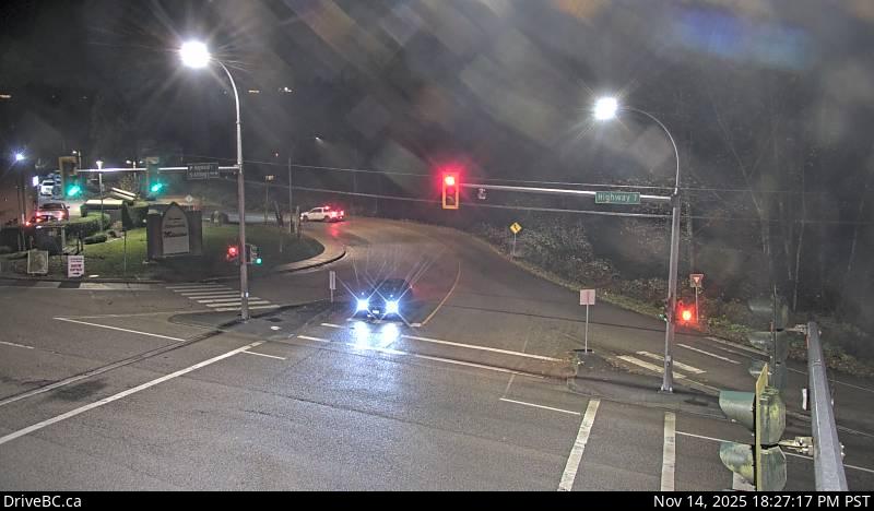 WorkingStill imageHighway 7, Silverdale, looking south
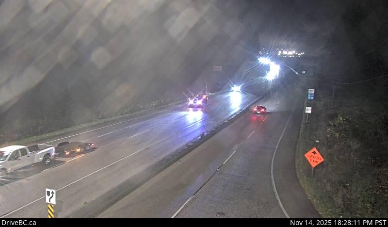 WorkingStill imageHighway 7, Silverdale, looking west
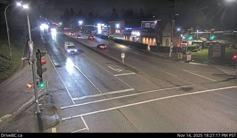 WorkingStill imageHighway 7, Silverdale, looking east
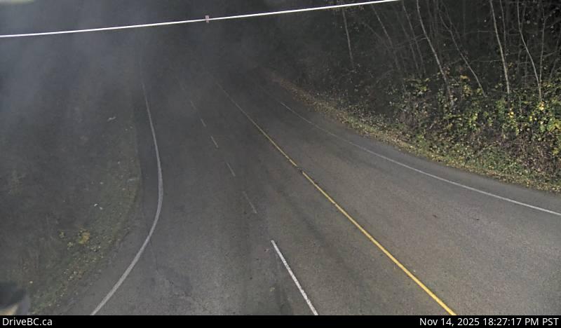 WorkingStill imageHighway 7, Silverdale, looking north
No live video among these cameras. Turn off "Live video only" to see them all.
Best cams to watch
- Highway 7, Mission, looking west — Still image · every 15 min, working 100 % of the time in the last 30 days.
- Highway 7, Mission, looking south — Still image · every 15 min, working 100 % of the time in the last 30 days.
- Highway 7, Mission, looking east — Still image · every 15 min, working 100 % of the time in the last 30 days.
Mission is a Fraser Valley city on the north bank of the Fraser River, facing Abbotsford across the water and about 65 kilometers east of Vancouver. The 2021 census counted about 41,500 residents. The name goes back to St. Mary's Mission, which Oblate missionaries founded here in 1868, and the town itself took shape after a land sale in 1891 promoted it as a railway junction. On the hill above the river, the Benedictine monks of Westminster Abbey, established in 1954, still run their monastery and seminary, and the bell tower is visible from far across the valley. Forestry and farming shaped the early economy, and today many residents commute west into Metro Vancouver. To the west, Hayward Lake and Stave Lake are hydroelectric reservoirs ringed by trails.
DriveBC's cameras around Mission show the two highways that meet in town. Highway 7, the Lougheed Highway, follows the north side of the Fraser east toward Harrison and west toward Maple Ridge. Highway 11 crosses the river on the Mission Bridge, opened in 1973, and continues south through Abbotsford to the Sumas border crossing. The bridge approach is the main bottleneck, and the views help commuters judge it before leaving. The frames are snapshots, replaced every few minutes.
Mission now keeps UTC minus seven year-round, following the provincial decision to stop the clock change in 2026. Winter brings long dark mornings, with sunrise after nine around the solstice, plus frequent rain and the occasional heavy snowfall that sweeps down the valley from the east. Summer days are warm, and the light lasts past nine in the evening.
The Mission Folk Music Festival fills Fraser River Heritage Park each July; this year it ran from July 24 to 26. Drag racing fans know Mission Raceway Park beside the river, and the monastery grounds make a quiet stop on the way through.
Sources: Mission, British Columbia - Wikipedia · Mission Folk Music Festival - Festival Information · B.C.'s new time zone (Pacific time) - Province of British Columbia.
Nearby places
- Surrey (212)
- Fleetwood (126)
- Vancouver (120)
- New Westminster (111)
- Langley (107)
- Burnaby (102)
- Delta (78)
- Maple Ridge (76)
Questions about Mission
How many cameras does LiveLocation have in Mission?
LiveLocation lists 18 cameras in and around Mission, Canada: 0 live video, 18 still images. 18 of them were live or showing a fresh image at the last check.
Who runs the cameras in Mission?
All of them come from DriveBC (18). Each camera plays straight from the agency or owner that runs it, with credit. DriveBC
What can I see on the Mission cameras?
All of them show traffic and highway (18). Good ones to start with: Highway 7, Mission, looking west and Highway 7, Mission, looking south. Highway 7, Mission, looking west Highway 7, Mission, looking south
Can I watch live video from Mission?
Not yet: the cameras here send still images that refresh about every 16 minutes. The map can show only live-video cameras nearby. Live video on the map
What time is it in Mission, and when is it light?
Mission is on America/Vancouver time. On October 7 the sun rises at 7:18 AM and sets at 6:35 PM, so still images are clearest between those times. Road cameras show the most traffic in the weekday morning and evening rush hours.
Which places near Mission also have cameras?
The nearest are Abbotsford (9.1 km away, 36 cameras), Maple Ridge (24 km away, 76 cameras) and Chilliwack (26 km away, 37 cameras). Abbotsford Maple Ridge Chilliwack
How can I see the Mission cameras on a map?
The map at the top of this page shows all 18 of them. The live camera radar centers on Mission and lists every camera within 5 to 250 km, nearest first, with filters for live video, traffic, nature and more. Open the radar on Mission
Place names and locations: GeoNames, licensed under CC BY 4.0.