Live cameras in Chilliwack, Canada
37 cameras: 0 live video, 37 still images · 37 working now · updated Oct 8, 03:31 UTC
Chilliwack has 37 live cameras on LiveLocation right now: 0 live video, 37 still images. Good places to start: Highway 1, Prest Road, looking south, Highway 1, Prest Road, looking west, Highway 1, Prest Road, looking east. Local time is 8:31 PM (America/Vancouver). Today the sun rises at 7:17 AM and sets at 6:34 PM.
Chilliwack live cameras
Every Chilliwack live camera we know of: 0 live video, 37 still images. 37 of them were live or fresh at the last check. Chilliwack is home to about 101,000 people.
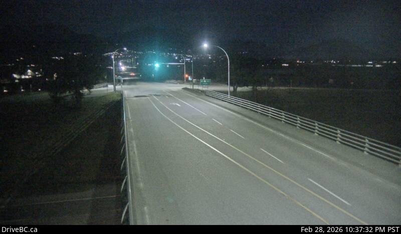 WorkingStill imageHighway 1, Prest Road, looking south
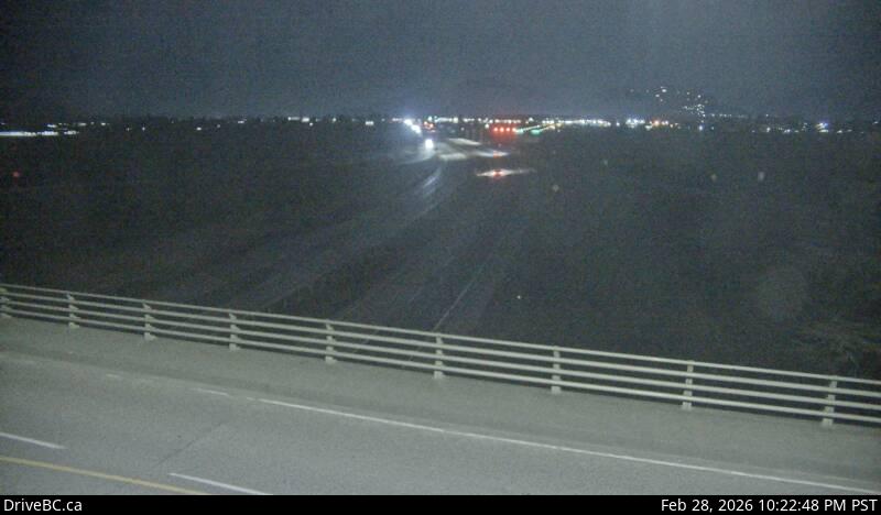 WorkingStill imageHighway 1, Prest Road, looking west
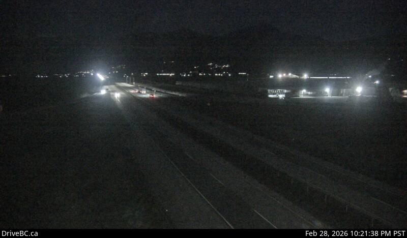 WorkingStill imageHighway 1, Prest Road, looking east
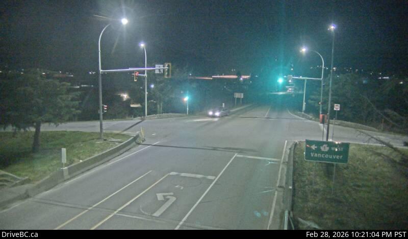 WorkingStill imageHighway 1, Prest Road, looking north
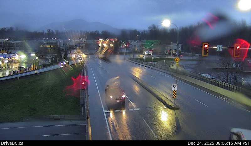 WorkingStill imageHighway 1, Evans Road, looking north
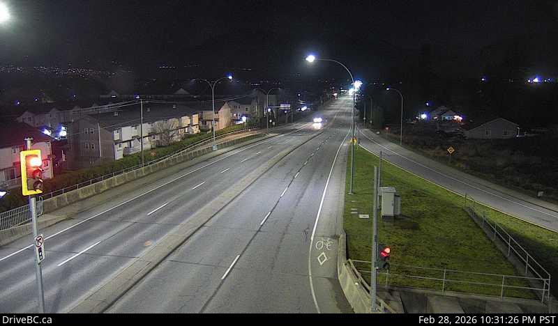 WorkingStill imageHighway 1, Evans Road, looking south
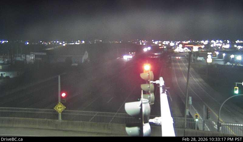 WorkingStill imageHighway 1, Evans Road, looking east
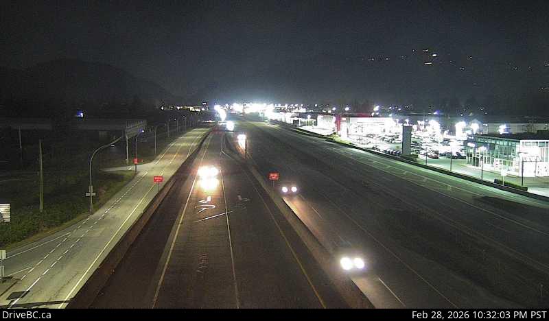 WorkingStill imageHighway 1, Evans Road, looking west
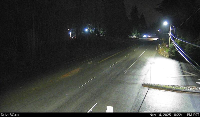 WorkingStill imageHighway 7, Highlands Boulevard, looking east
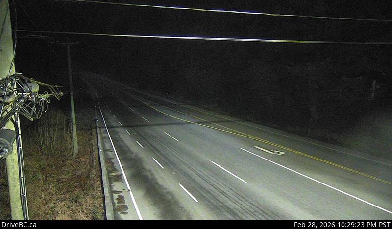 WorkingStill imageHighway 7, Highlands Boulevard, looking west
 WorkingStill imageHighway 1, Annis Road, looking east
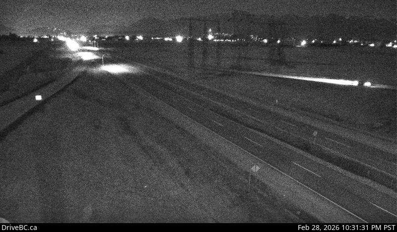 WorkingStill imageHighway 1, Annis Road, looking west
 WorkingStill imageHighway 1, Annis Road, looking south
 WorkingStill imageHighway 1, Annis Road, looking north
 WorkingStill imageHighway 7, Deroche, looking east
 WorkingStill imageHighway 7, Deroche, looking west
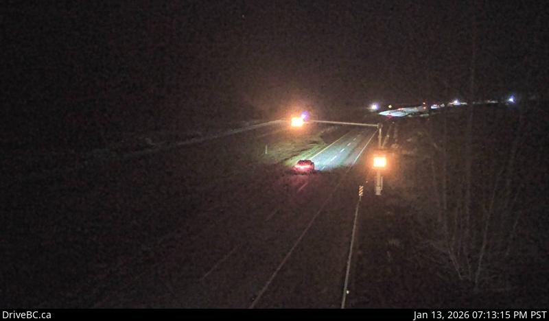 WorkingStill imageHighway 1, Vedder Canal Bridge, looking east
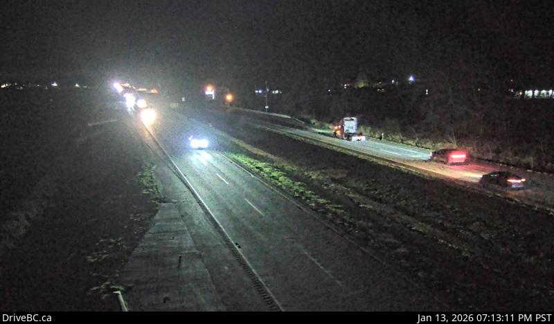 WorkingStill imageHighway 1, Vedder Canal Bridge, looking west
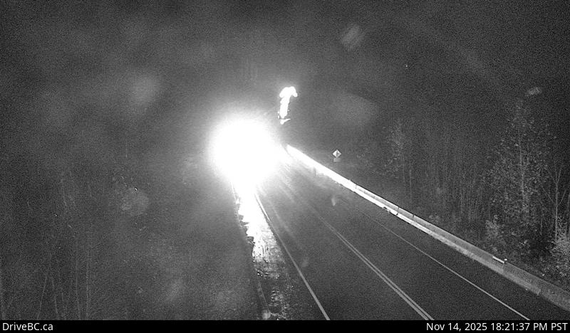 WorkingStill imageHighway 9, Rosedale Overhead, looking north
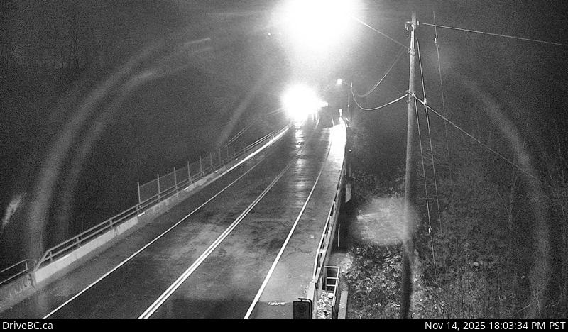 WorkingStill imageHighway 9, Rosedale Overhead, looking south
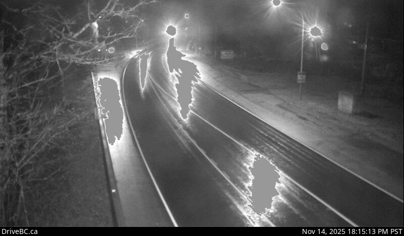 WorkingStill imageHighway 9, Agassiz-Rosedale Bridge, looking north
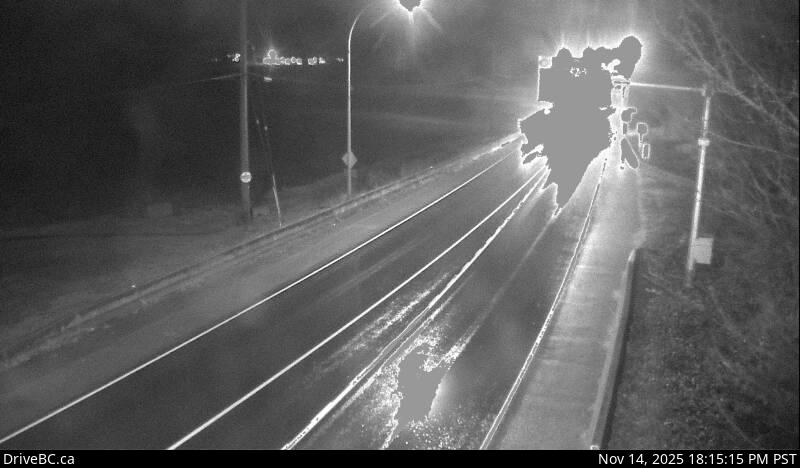 WorkingStill imageHighway 9, Agassiz-Rosedale Bridge, looking south
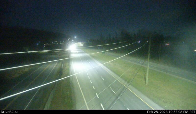 WorkingStill imageHighway 1, Bridal Falls, looking west
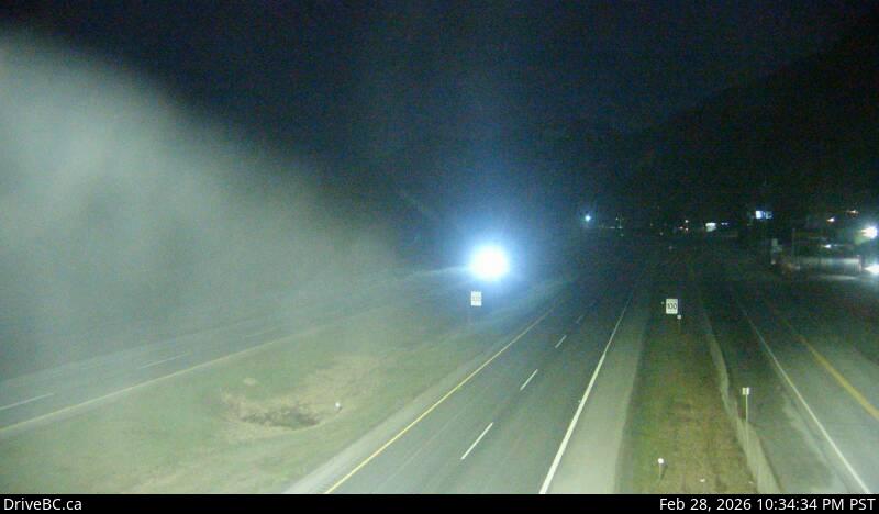 WorkingStill imageHighway 1, Bridal Falls, looking east
 WorkingStill imageHighway 7, Agassiz
 WorkingStill imageHighway 1, Herrling Island, looking east
 WorkingStill imageHighway 1, Herrling Island, looking west
 WorkingStill imageHighway 1, Herrling Island Overpass, looking west
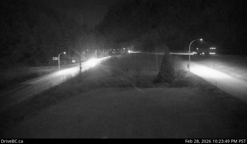 WorkingStill imageHighway 1, Herrling Island Overpass, looking east
 WorkingStill imageHighway 1, Herrling Island Overpass, looking south
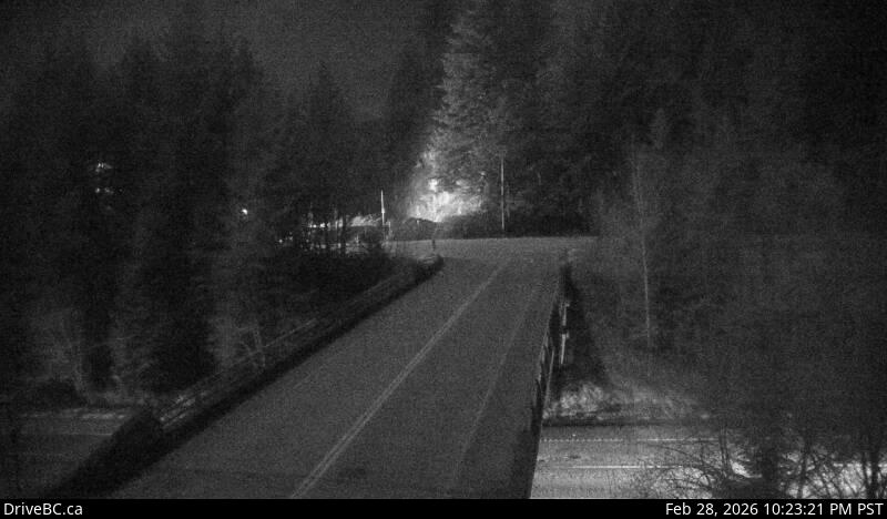 WorkingStill imageHighway 1, Herrling Island Overpass, looking north
 WorkingStill imageHighway 1, Hunter Creek
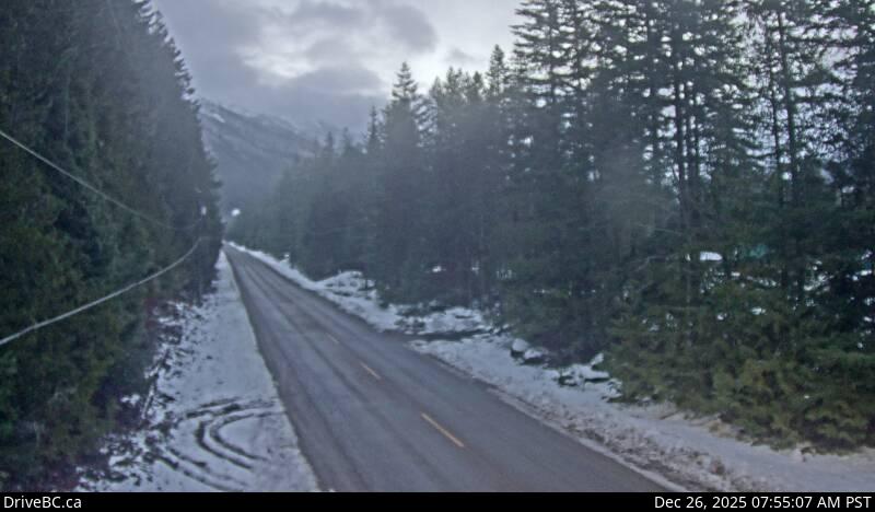 WorkingStill imageChilliwack Lake Road, Chilliwack Lake
 WorkingStill imageHighway 7, Devil Lake, looking northeast
 WorkingStill imageHighway 7, Devil Lake, looking southwest
 WorkingStill imageHighway 7, Hope
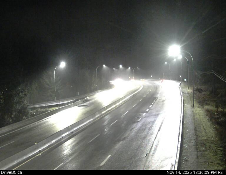 WorkingStill imageHwy 3 at Highway 3/5 Junction
No live video among these cameras. Turn off "Live video only" to see them all.
Best cams to watch
- Highway 1, Prest Road, looking south — Still image · every 15 min, working 100 % of the time in the last 30 days.
- Highway 1, Prest Road, looking west — Still image · every 15 min, working 100 % of the time in the last 30 days.
- Highway 1, Prest Road, looking east — Still image · every 15 min, working 100 % of the time in the last 30 days.
Chilliwack is a city in the eastern Fraser Valley of British Columbia, about a hundred kilometers east of Vancouver. It is framed by big landscapes: the Fraser River along its northern edge, the United States border to the south, and steep peaks such as Mount Cheam rising almost straight from the valley floor. The 2021 census counted about 93,000 residents, and the city has grown quickly since. Farming still matters here, with about two thirds of the city's land protected in the Agricultural Land Reserve, so drives through the area pass dairy barns, corn fields and berry farms. Sardis and Vedder Crossing sit on the south side, near the Vedder River, and Cultus Lake, a popular summer spot, lies just beyond.
About the cameras
The cameras whose main place is Chilliwack are run by DriveBC, the provincial road information service, and show still images refreshed every few minutes. Most look along the Trans-Canada Highway, Highway 1, which runs east and west through the city on its way to Hope and the interior. Others watch Highway 9, the Agassiz-Rosedale route that crosses the Fraser River on a bridge to Agassiz and Harrison Hot Springs, so you can see the bridge approaches as well.
Chilliwack keeps Pacific Time. Weekday traffic on Highway 1 is heaviest toward Abbotsford and Vancouver in the morning, and Friday afternoons in summer bring holiday traffic heading east. Winters are mostly mild and rainy, but the eastern valley can get colder outflow winds and snow when Arctic air pushes down the Fraser Canyon, and atmospheric river storms can bring heavy rain and flooding. Summers can be hot; the city recorded a temperature above forty-three degrees Celsius during the June 2021 heat wave.
For more to see, Bridal Veil Falls tumbles down a cliff just east of the city beside Highway 1, and Harrison Hot Springs sits on its lake across the river to the north.
Sources: Chilliwack - Wikipedia · DriveBC - British Columbia highway cameras · Tourism Chilliwack.
Nearby places
- Surrey (212)
- Fleetwood (126)
- Vancouver (120)
- New Westminster (111)
- Langley (107)
- Burnaby (102)
- Delta (78)
- Maple Ridge (76)
Questions about Chilliwack
How many cameras does LiveLocation have in Chilliwack?
LiveLocation lists 37 cameras in and around Chilliwack, Canada: 0 live video, 37 still images. 37 of them were live or showing a fresh image at the last check.
Who runs the cameras in Chilliwack?
All of them come from DriveBC (37). Each camera plays straight from the agency or owner that runs it, with credit. DriveBC
What can I see on the Chilliwack cameras?
The views are traffic and highway (33) and bridge (4). Good ones to start with: Highway 1, Prest Road, looking south and Highway 1, Prest Road, looking west. Highway 1, Prest Road, looking south Highway 1, Prest Road, looking west
Can I watch live video from Chilliwack?
Not yet: the cameras here send still images that refresh about every 14 minutes. The map can show only live-video cameras nearby. Live video on the map
What time is it in Chilliwack, and when is it light?
Chilliwack is on America/Vancouver time. On October 7 the sun rises at 7:17 AM and sets at 6:34 PM, so still images are clearest between those times. Road cameras show the most traffic in the weekday morning and evening rush hours.
Which places near Chilliwack also have cameras?
The nearest are Abbotsford (25 km away, 36 cameras), Mission (26 km away, 18 cameras) and Maple Ridge (48 km away, 76 cameras). Abbotsford Mission Maple Ridge
How can I see the Chilliwack cameras on a map?
The map at the top of this page shows all 37 of them. The live camera radar centers on Chilliwack and lists every camera within 5 to 250 km, nearest first, with filters for live video, traffic, nature and more. Open the radar on Chilliwack
Place names and locations: GeoNames, licensed under CC BY 4.0.