Live cameras in Port Alberni, Canada
16 cameras: 0 live video, 16 still images · 16 working now · updated Oct 8, 03:32 UTC
Port Alberni has 16 live cameras on LiveLocation right now: 0 live video, 16 still images. Good places to start: Highway 4, Tsuma-as Drive, looking west, Highway 4, Tsuma-as Drive, looking east, Highway 4, Port Alberni Summit. Local time is 8:32 PM (America/Vancouver). Today the sun rises at 7:28 AM and sets at 6:45 PM.
Port Alberni live cameras
Every Port Alberni live camera we know of: 0 live video, 16 still images. 16 of them were live or fresh at the last check. Port Alberni is home to about 21,000 people.
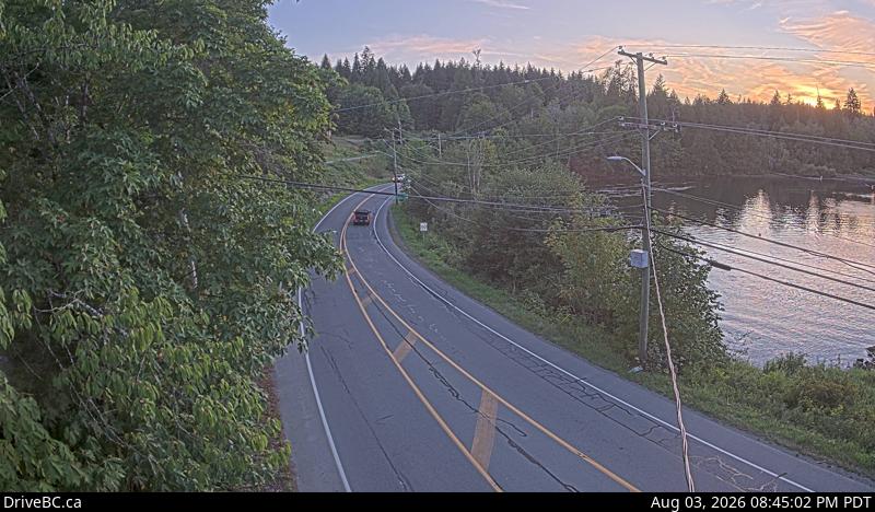 WorkingStill imageHighway 4, Tsuma-as Drive, looking west
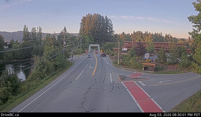 WorkingStill imageHighway 4, Tsuma-as Drive, looking east
 WorkingStill imageHighway 4, Port Alberni Summit
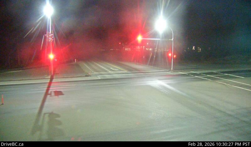 WorkingStill imageHighway 19, Horne Lake Road, looking west
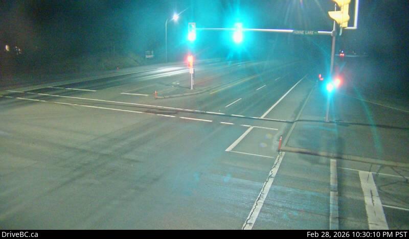 WorkingStill imageHighway 19, Horne Lake Road, looking north
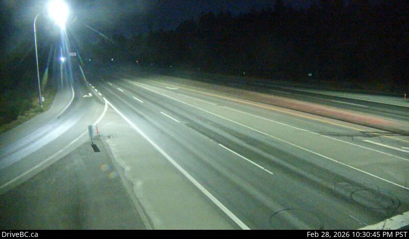 WorkingStill imageHighway 19, Horne Lake Road, looking south
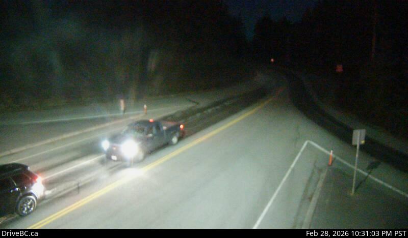 WorkingStill imageHighway 19, Horne Lake Road, looking east
 WorkingStill imageHighway 19, Cook Creek Road
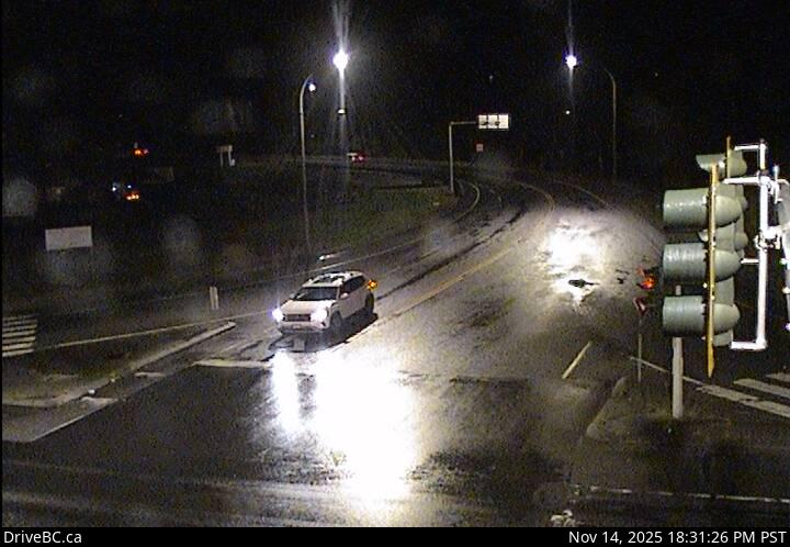 WorkingStill imageHighway 4 at Alberni Highway, looking east
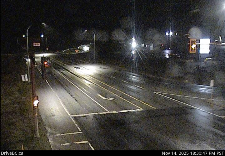 WorkingStill imageHighway 4 at Alberni Highway, looking north
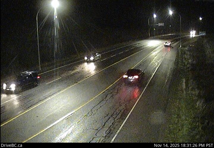 WorkingStill imageHighway 4 at Alberni Highway, looking west
 WorkingStill imageHighway 19, Qualicum Interchange, looking east
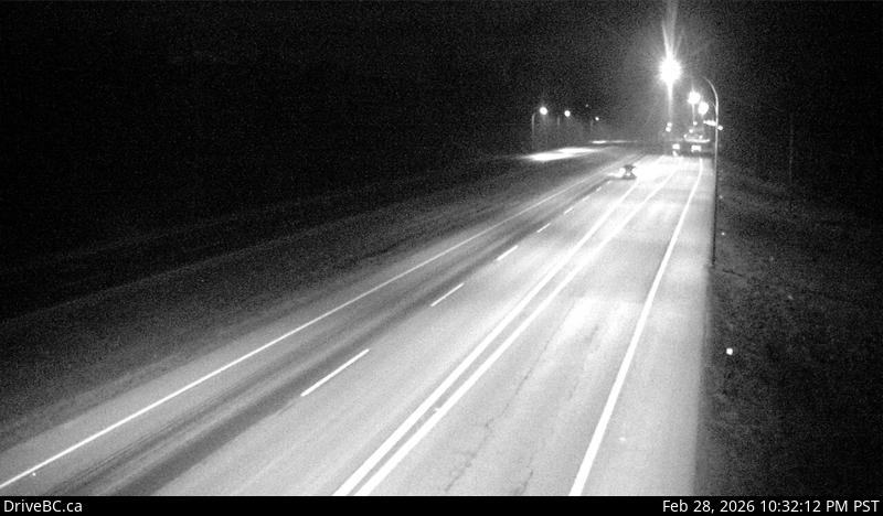 WorkingStill imageHighway 19, Qualicum Interchange, looking west
 WorkingStill imageHighway 4, Taylor River, looking west
 WorkingStill imageHighway 4, Taylor River, looking east
 WorkingStill imageHighway 4, Kennedy Lake
No live video among these cameras. Turn off "Live video only" to see them all.
Best cams to watch
- Highway 4, Tsuma-as Drive, looking west — Still image · every 15 min, working 100 % of the time in the last 30 days.
- Highway 4, Tsuma-as Drive, looking east — Still image · every 15 min, working 100 % of the time in the last 30 days.
- Highway 4, Port Alberni Summit — Still image · every 19 min, working 100 % of the time in the last 30 days.
Port Alberni is a city in the Alberni Valley in the center of Vancouver Island, British Columbia, at the head of the Alberni Inlet, the longest inlet on the island. The 2021 census counted about 18,300 residents. Surrounded almost entirely by mountains, with Mount Arrowsmith rising to the southeast, the city grew on forestry, sawmills and the fishery, and the waterfront still has a working harbor. Its location at the end of a long fjord also makes it vulnerable to tsunamis: in 1964 waves from the Alaska Good Friday earthquake surged up the inlet and flooded parts of town.
What the cameras show
The cameras here are DriveBC highway cameras operated by the BC Ministry of Transportation and Transit, with still images refreshing every few minutes. Highway 4 is the city's lifeline, the main east-west route on Vancouver Island. East of town it climbs over the Alberni Summit, which locals call the Hump, and passes through the old-growth forest of Cathedral Grove before descending toward Qualicum Beach and Parksville. West of the city it continues through the mountains to Tofino and Ucluelet on the Pacific coast. Some views come from higher, exposed points on the route, so they are especially useful for checking snow and ice in winter.
From November 1, 2026, British Columbia keeps its clocks on UTC minus seven and skips the autumn fall-back. In summer that matches the old Pacific daylight time, with long evenings until about half past nine, but in December the sun now rises after nine. The valley sees heavy rain in the cooler months, and the summit can be white while town stays wet.
The MV Frances Barkley carries passengers and freight down the inlet to Bamfield and the Broken Group Islands. In summer, the Highway 4 drive toward Pacific Rim National Park Reserve brings visitor traffic, so the cameras are handy for planning a trip to the west coast.
Sources: Port Alberni - Wikipedia · DriveBC highway cameras · British Columbia Highway 4 - Wikipedia · B.C. permanent daylight saving time - CBC News.
Nearby places
- Surrey (212)
- Fleetwood (126)
- Vancouver (120)
- New Westminster (111)
- Langley (107)
- Burnaby (102)
- Delta (78)
- Maple Ridge (76)
Questions about Port Alberni
How many cameras does LiveLocation have in Port Alberni?
LiveLocation lists 16 cameras in and around Port Alberni, Canada: 0 live video, 16 still images. 16 of them were live or showing a fresh image at the last check.
Who runs the cameras in Port Alberni?
All of them come from DriveBC (16). Each camera plays straight from the agency or owner that runs it, with credit. DriveBC
What can I see on the Port Alberni cameras?
The views are traffic and highway (15) and pass and road weather (1). Good ones to start with: Highway 4, Tsuma-as Drive, looking west and Highway 4, Tsuma-as Drive, looking east. Highway 4, Tsuma-as Drive, looking west Highway 4, Tsuma-as Drive, looking east
Can I watch live video from Port Alberni?
Not yet: the cameras here send still images that refresh about every 13 minutes. The map can show only live-video cameras nearby. Live video on the map
What time is it in Port Alberni, and when is it light?
Port Alberni is on America/Vancouver time. On October 7 the sun rises at 7:28 AM and sets at 6:45 PM, so still images are clearest between those times. Road cameras show the most traffic in the weekday morning and evening rush hours.
Which places near Port Alberni also have cameras?
The nearest are Courtenay (51 km away, 17 cameras), Harewood (63 km away, 13 cameras) and Nanaimo (63 km away, 29 cameras). Courtenay Harewood Nanaimo
How can I see the Port Alberni cameras on a map?
The map at the top of this page shows all 16 of them. The live camera radar centers on Port Alberni and lists every camera within 5 to 250 km, nearest first, with filters for live video, traffic, nature and more. Open the radar on Port Alberni
Place names and locations: GeoNames, licensed under CC BY 4.0.