Live cameras in Courtenay, Canada
17 cameras: 0 live video, 17 still images · 17 working now · updated Oct 8, 03:31 UTC
Courtenay has 17 live cameras on LiveLocation right now: 0 live video, 17 still images. Good places to start: Highway 19A, Hwy 19A at 17 Street Bridge, looking west, Highway 19A, Hwy 19A at 17 Street Bridge, looking south, Highway 19A, Hwy 19A at 17 Street Bridge, looking north. Local time is 8:31 PM (America/Vancouver). Today the sun rises at 7:29 AM and sets at 6:45 PM.
Courtenay live cameras
Watch Courtenay live webcams: 0 live video, 17 still images. 17 of them were live or fresh at the last check. Courtenay is home to about 28,000 people.
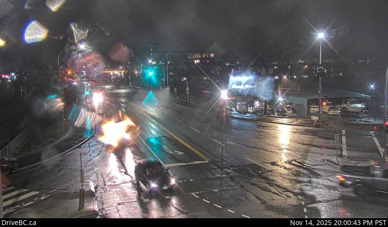 WorkingStill imageHighway 19A, Hwy 19A at 17 Street Bridge, looking west
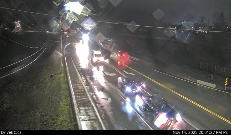 WorkingStill imageHighway 19A, Hwy 19A at 17 Street Bridge, looking south
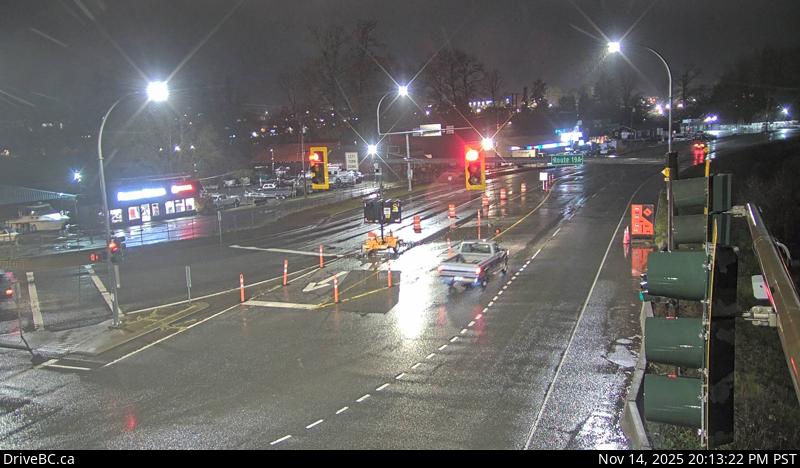 WorkingStill imageHighway 19A, Hwy 19A at 17 Street Bridge, looking north
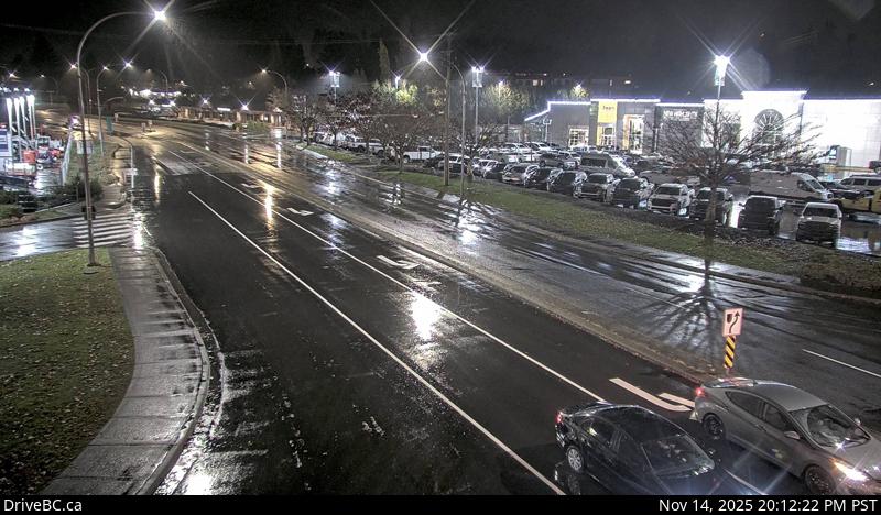 WorkingStill imageHighway 19A, Hwy 19A at Ryan Road, looking north
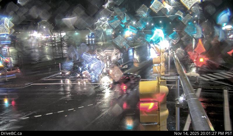 WorkingStill imageHighway 19A, Hwy 19A at Ryan Road, looking south
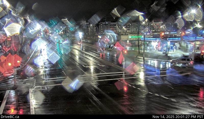 WorkingStill imageHighway 19A, Hwy 19A at Ryan Road, looking east
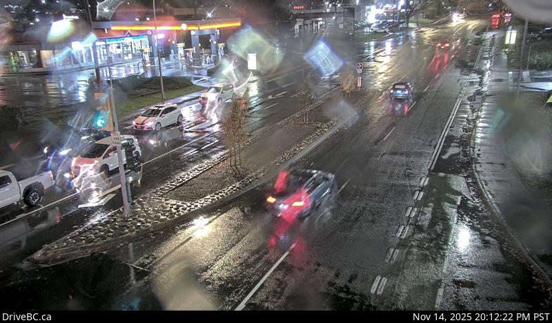 WorkingStill imageHighway 19A, Hwy 19A at Ryan Road, looking west
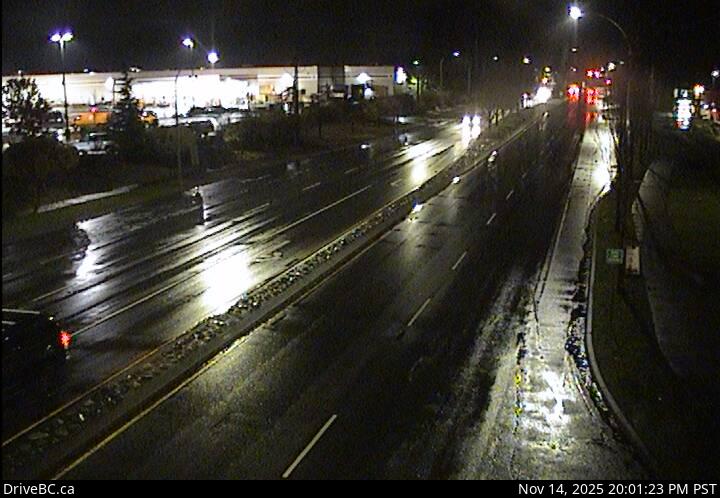 WorkingStill imageHighway 19A, Ryan Road, looking east
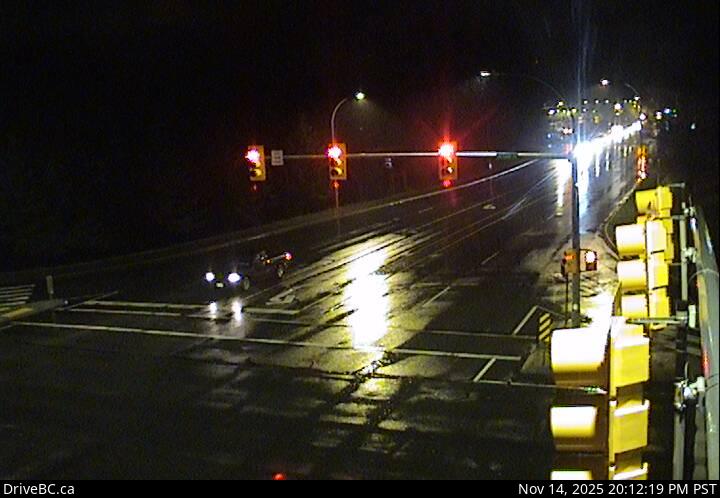 WorkingStill imageHighway 19A, Ryan Road, looking north
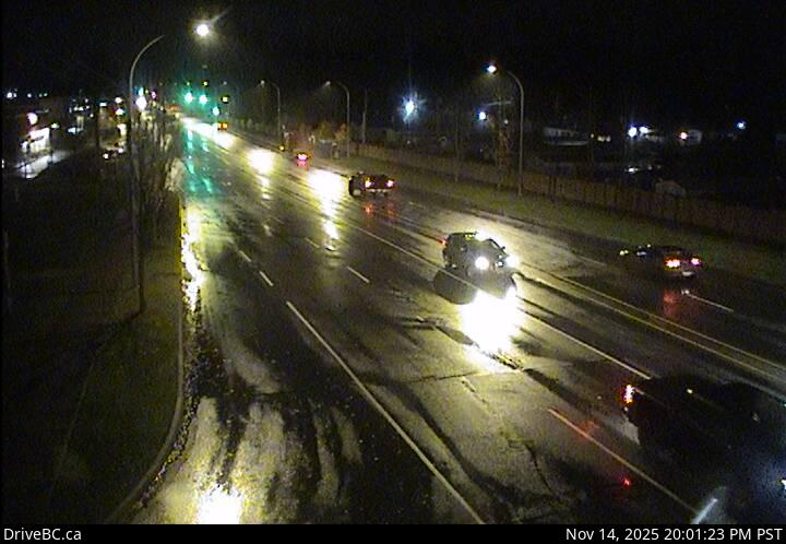 WorkingStill imageHighway 19A, Ryan Road, looking south
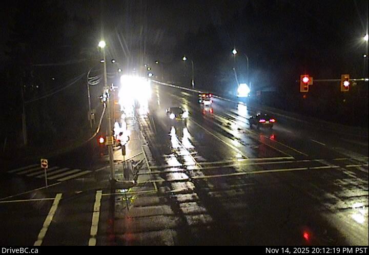 WorkingStill imageHighway 19A, Ryan Road, looking west
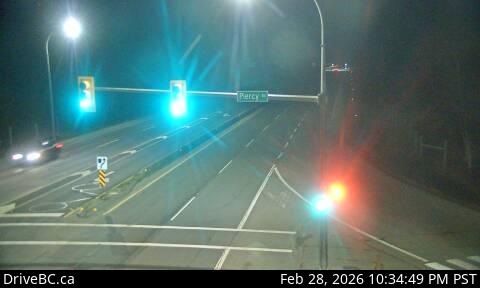 WorkingStill imageHighway 19, Piercy Road, looking north
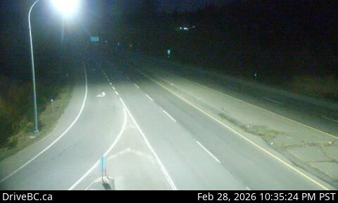 WorkingStill imageHighway 19, Piercy Road, looking south
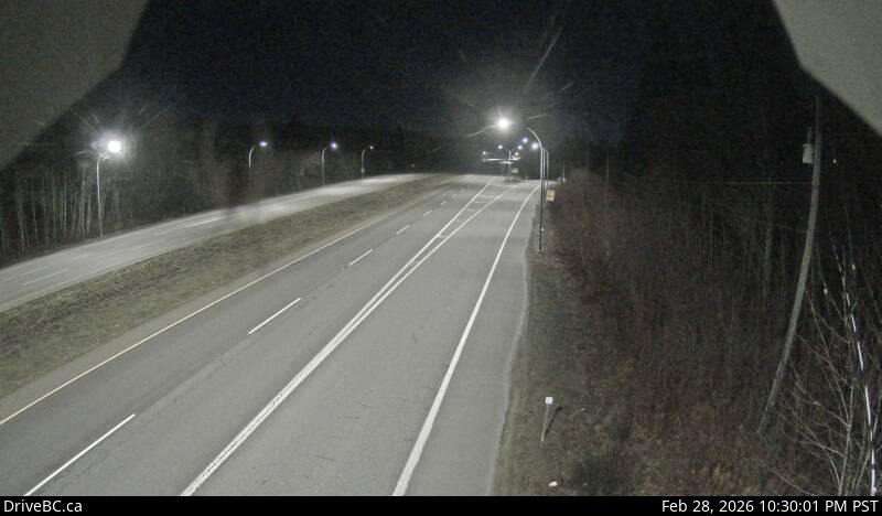 WorkingStill imageHighway 19, Buckley Bay Road
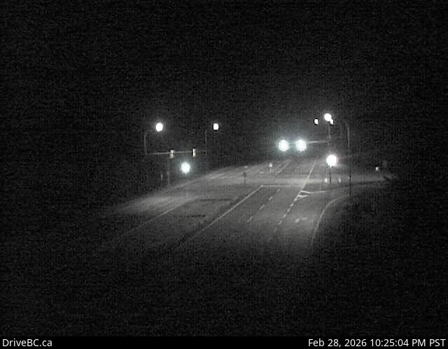 WorkingStill imageHighway 19, Black Creek
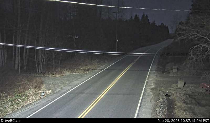 WorkingStill imageHighway 101, Lund, looking north
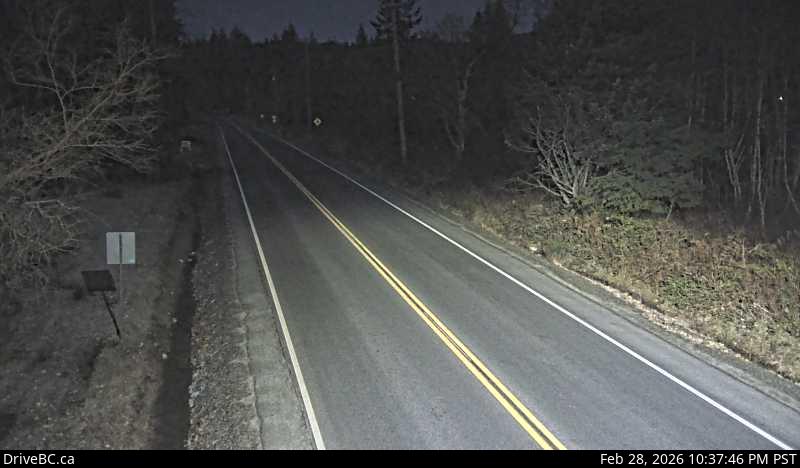 WorkingStill imageHighway 101, Lund, looking south
No live video among these cameras. Turn off "Live video only" to see them all.
Best cams to watch
- Highway 19A, Hwy 19A at 17 Street Bridge, looking west — Still image · every 14 min, working 100 % of the time in the last 30 days.
- Highway 19A, Hwy 19A at 17 Street Bridge, looking south — Still image · every 14 min, working 100 % of the time in the last 30 days.
- Highway 19A, Hwy 19A at 17 Street Bridge, looking north — Still image · every 14 min, working 100 % of the time in the last 30 days.
Courtenay is the largest community in the Comox Valley on the east coast of Vancouver Island, British Columbia, and the seat of the Comox Valley Regional District. The 2021 census counted about 28,400 residents in the city and about 63,000 in the wider area. The town takes its name from the Courtenay River, a short tidal river formed where the Puntledge and Tsolum rivers meet before flowing into Comox Harbour. Behind the valley rise the peaks of the Beaufort Range and Strathcona Park, with the Comox Glacier visible on clear days. The local museum displays the bones of an elasmosaur, a marine reptile about 80 million years old, found along the Puntledge River in 1988.
What the cameras show
All the cameras here are DriveBC highway cameras from the BC Ministry of Transportation and Transit. They post still images that update every few minutes. Some are listed as bridge views, which fits a town where the 5th Street and 17th Street bridges carry traffic over the Courtenay River, and others watch the highways: Highway 19A, the old Island Highway, runs through Courtenay, while the inland Highway 19 bypasses it to the west on the way between Nanaimo and Campbell River.
A timing note: starting November 1, 2026, British Columbia no longer turns its clocks back in autumn and stays on UTC minus seven all year. That means summer looks the same as before, with sunsets around half past nine in June, but winter mornings stay dark longer, with sunrise after nine near the solstice. Winters are mild and rainy at sea level, though snow can coat the routes up toward the mountains.
Mount Washington Alpine Resort, about 32 kilometers away, is the largest ski area on Vancouver Island, and in summer the Vancouver Island MusicFest draws crowds to the valley in July. Comox, with its harbor and the air force base at 19 Wing Comox, sits just across the river, and ferries leave nearby Little River for Powell River on the mainland.
Sources: Courtenay, British Columbia - Wikipedia · DriveBC highway cameras · B.C. permanent daylight saving time - CBC News.
Nearby places
- Surrey (212)
- Fleetwood (126)
- Vancouver (120)
- New Westminster (111)
- Langley (107)
- Burnaby (102)
- Delta (78)
- Maple Ridge (76)
Questions about Courtenay
How many cameras does LiveLocation have in Courtenay?
LiveLocation lists 17 cameras in and around Courtenay, Canada: 0 live video, 17 still images. 17 of them were live or showing a fresh image at the last check.
Who runs the cameras in Courtenay?
All of them come from DriveBC (17). Each camera plays straight from the agency or owner that runs it, with credit. DriveBC
What can I see on the Courtenay cameras?
The views are traffic and highway (14) and bridge (3). Good ones to start with: Highway 19A, Hwy 19A at 17 Street Bridge, looking west and Highway 19A, Hwy 19A at 17 Street Bridge, looking south. Highway 19A, Hwy 19A at 17 Street Bridge, looking west Highway 19A, Hwy 19A at 17 Street Bridge, looking south
Can I watch live video from Courtenay?
Not yet: the cameras here send still images that refresh about every 13 minutes. The map can show only live-video cameras nearby. Live video on the map
What time is it in Courtenay, and when is it light?
Courtenay is on America/Vancouver time. On October 7 the sun rises at 7:29 AM and sets at 6:45 PM, so still images are clearest between those times. Road cameras show the most traffic in the weekday morning and evening rush hours.
Which places near Courtenay also have cameras?
The nearest are Campbell River (41 km away, 10 cameras), Port Alberni (51 km away, 16 cameras) and Nanaimo (96 km away, 29 cameras). Campbell River Port Alberni Nanaimo
How can I see the Courtenay cameras on a map?
The map at the top of this page shows all 17 of them. The live camera radar centers on Courtenay and lists every camera within 5 to 250 km, nearest first, with filters for live video, traffic, nature and more. Open the radar on Courtenay
Place names and locations: GeoNames, licensed under CC BY 4.0.