Live cameras in Campbell River, Canada
10 cameras: 0 live video, 10 still images · 10 working now · updated Oct 8, 03:31 UTC
Campbell River has 10 live cameras on LiveLocation right now: 0 live video, 10 still images. Good places to start: Highway 19, Campbell River, looking west, Highway 19, Campbell River, looking north, Highway 19, Campbell River, looking east. Local time is 8:31 PM (America/Vancouver). Today the sun rises at 7:30 AM and sets at 6:46 PM.
Campbell River live cameras
Watch Campbell River live webcams: 0 live video, 10 still images. 10 were working at the last check. Campbell River is home to about 33,000 people.
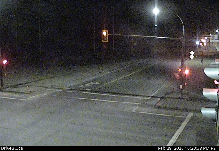 WorkingStill imageHighway 19, Campbell River, looking west
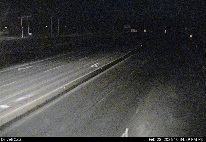 WorkingStill imageHighway 19, Campbell River, looking north
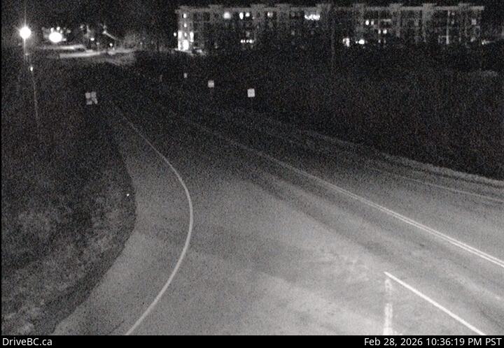 WorkingStill imageHighway 19, Campbell River, looking east
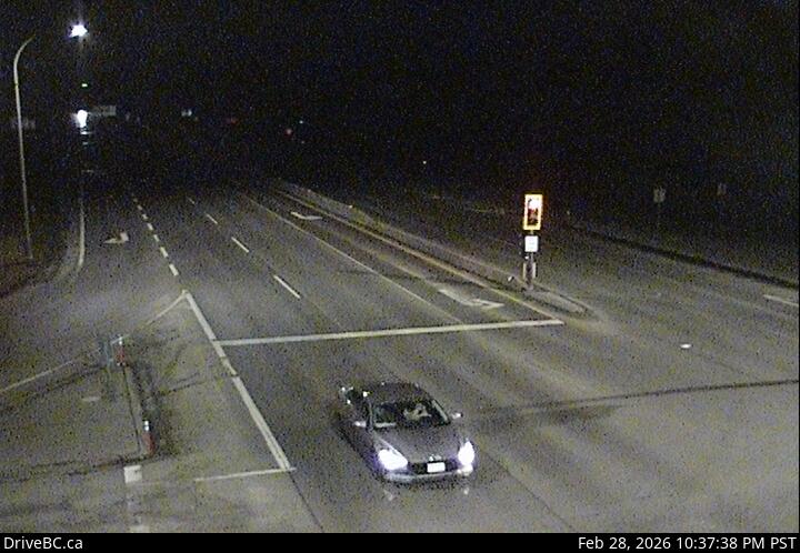 WorkingStill imageHighway 19, Campbell River, looking south
 WorkingStill imageHighway 19, Duncan Bay, looking north
 WorkingStill imageHighway 19, Duncan Bay, looking south
 WorkingStill imageHighway 28, Gold River Highway
 WorkingStill imageHighway 19, Menzies Hill, looking north
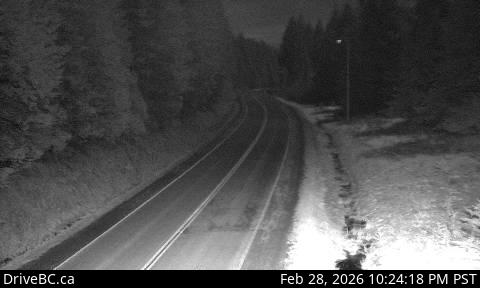 WorkingStill imageHighway 19, Menzies Hill, looking south
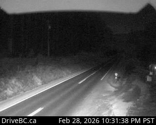 WorkingStill imageHighway 19, Roberts Lake
No live video among these cameras. Turn off "Live video only" to see them all.
Best cams to watch
- Highway 19, Campbell River, looking west — Still image · every 15 min, working 100 % of the time in the last 30 days.
- Highway 19, Campbell River, looking north — Still image · every 15 min, working 100 % of the time in the last 30 days.
- Highway 19, Campbell River, looking east — Still image · every 15 min, working 100 % of the time in the last 30 days.
Campbell River is a coastal city on the east side of Vancouver Island, British Columbia, at the southern end of Discovery Passage, the narrow channel between the island and Quadra Island. The 2021 census counted about 35,500 residents. Known as the Salmon Capital of the World, it built its reputation on sport and commercial fishing, and anglers still crowd the long Discovery Pier and the waters offshore. Forestry and hydroelectric power shaped the twentieth century here; the Elk Falls pulp mill was a major employer until it closed in 2009. North of town lies Seymour Narrows, where tidal currents race through the passage.
What the cameras show
These are DriveBC highway cameras from the BC Ministry of Transportation and Transit, sending still images that update every few minutes. Highway 19, the main north-south route on the island, reaches Campbell River from Nanaimo and continues north toward Port Hardy, while Highway 19A follows the shoreline through town. Highway 28 heads west from the city past Elk Falls Provincial Park and through Strathcona Provincial Park to Gold River. The views help with checking road conditions on these routes, especially the higher stretches heading west in winter.
Beginning November 1, 2026, British Columbia stays on UTC minus seven year round instead of falling back each autumn. Summer evenings remain long, with sunset near half past nine around the June solstice, while winter sunrise near the solstice now comes well after nine. The coastal climate is mild but wet in the cooler months, and snow is more likely on the inland highways than in town.
BC Ferries runs a short crossing to Quadra Island, with connections onward to Cortes Island. Elk Falls, with its suspension bridge over the canyon, is a short drive west, and summer brings whale watching and grizzly bear tours that leave from the city's marinas.
Sources: Campbell River, British Columbia - Wikipedia · DriveBC highway cameras · British Columbia Highway 28 - Wikipedia · B.C. permanent daylight saving time - CBC News.
Nearby places
- Surrey (212)
- Fleetwood (126)
- Vancouver (120)
- New Westminster (111)
- Langley (107)
- Burnaby (102)
- Delta (78)
- Maple Ridge (76)
Questions about Campbell River
How many webcams can I watch in Campbell River?
LiveLocation lists 10 cameras in and around Campbell River, Canada: 0 live video, 10 still images. 10 of them were live or showing a fresh image at the last check.
Where do the Campbell River cameras come from?
All of them come from DriveBC (10). Each camera plays straight from the agency or owner that runs it, with credit. DriveBC
What kinds of views are there in Campbell River?
All of them show traffic and highway (10). Good ones to start with: Highway 19, Campbell River, looking west and Highway 19, Campbell River, looking north. Highway 19, Campbell River, looking west Highway 19, Campbell River, looking north
Is there live video from Campbell River?
Not yet: the cameras here send still images that refresh about every 14 minutes. The map can show only live-video cameras nearby. Live video on the map
When is the best time to watch the Campbell River cameras?
Campbell River is on America/Vancouver time. On October 7 the sun rises at 7:30 AM and sets at 6:46 PM, so still images are clearest between those times. Road cameras show the most traffic in the weekday morning and evening rush hours.
Are there live cameras near Campbell River?
The nearest are Courtenay (41 km away, 17 cameras), Port Alberni (92 km away, 16 cameras) and Nanaimo (133 km away, 29 cameras). Courtenay Port Alberni Nanaimo
Is there a map of the cameras in Campbell River?
The map at the top of this page shows all 10 of them. The live camera radar centers on Campbell River and lists every camera within 5 to 250 km, nearest first, with filters for live video, traffic, nature and more. Open the radar on Campbell River
Place names and locations: GeoNames, licensed under CC BY 4.0.