Live cameras in Deerfield, United States
165 cameras: 0 live video, 165 still images · 165 working now · updated Oct 8, 03:32 UTC
Deerfield has 165 live cameras on LiveLocation right now: 0 live video, 165 still images. Good places to start: Aptakisic at Barclay, looking west, IL 43 at Deerfield, looking east, IL 43 at Deerfield, looking north. Local time is 10:32 PM (America/Chicago). Today the sun rises at 6:55 AM and sets at 6:22 PM.
Deerfield live cameras
Watch Deerfield live webcams: 0 live video, 165 still images. 165 were working at the last check. Deerfield is home to about 19,000 people.
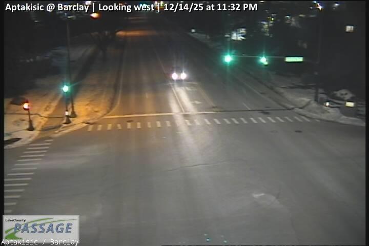 WorkingStill imageAptakisic at Barclay, looking west
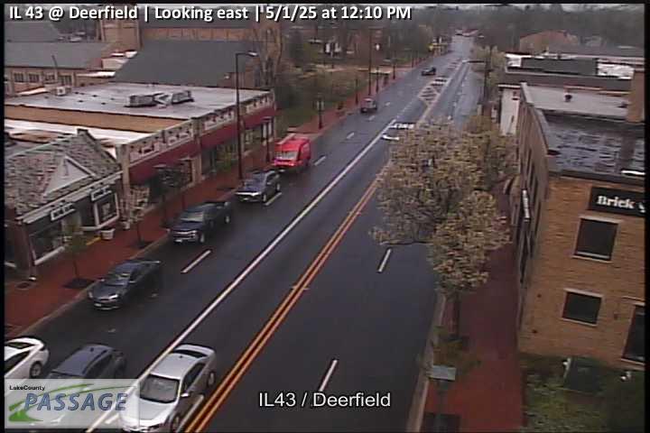 WorkingStill imageIL 43 at Deerfield, looking east
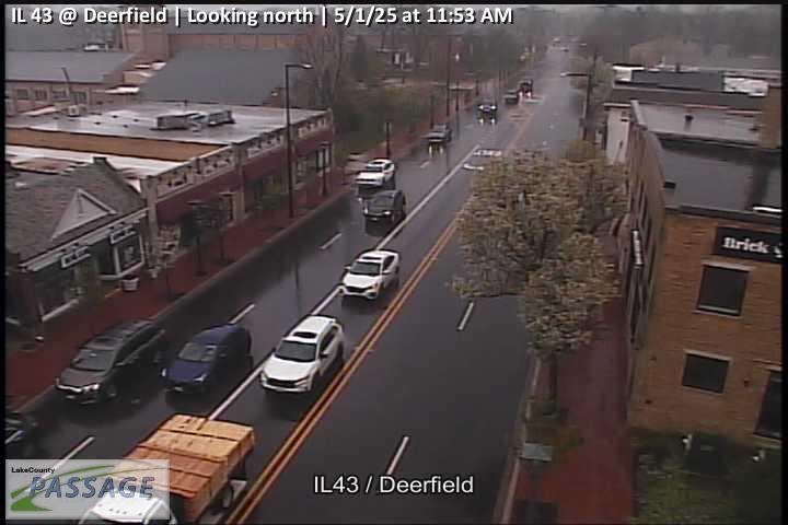 WorkingStill imageIL 43 at Deerfield, looking north
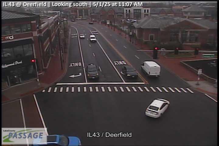 WorkingStill imageIL 43 at Deerfield, looking south
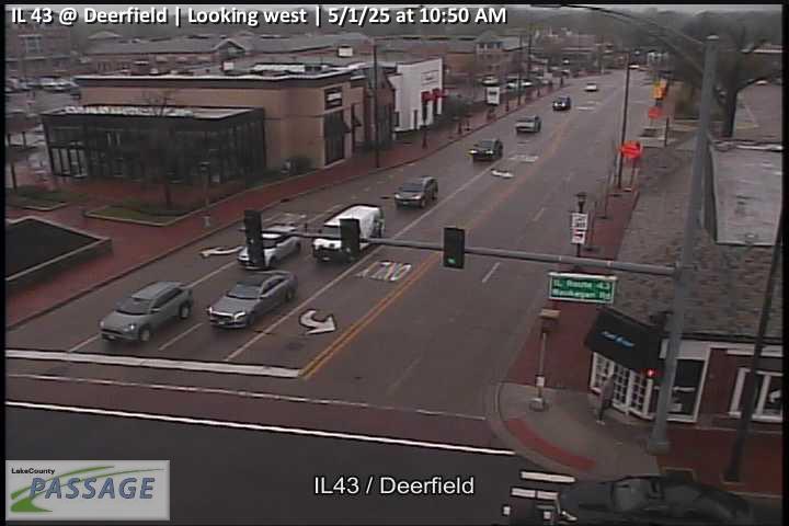 WorkingStill imageIL 43 at Deerfield, looking west
 WorkingStill imageDeerfield at Robert York, looking east
 WorkingStill imageDeerfield at Robert York, looking north
 WorkingStill imageDeerfield at Robert York, looking south
 WorkingStill imageDeerfield at Robert York, looking west
 WorkingStill imageDeerfield at Chestnut, looking east
 WorkingStill imageDeerfield at Chestnut, looking west
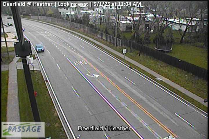 WorkingStill imageDeerfield at Heather, looking east
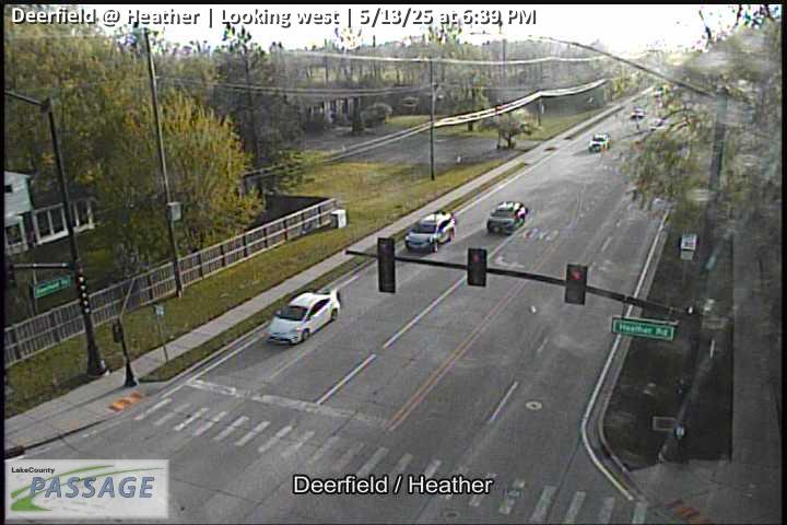 WorkingStill imageDeerfield at Heather, looking west
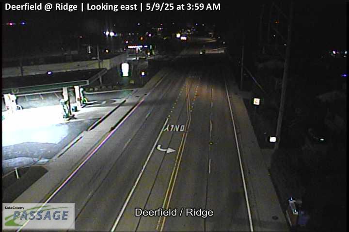 WorkingStill imageDeerfield at Ridge, looking east
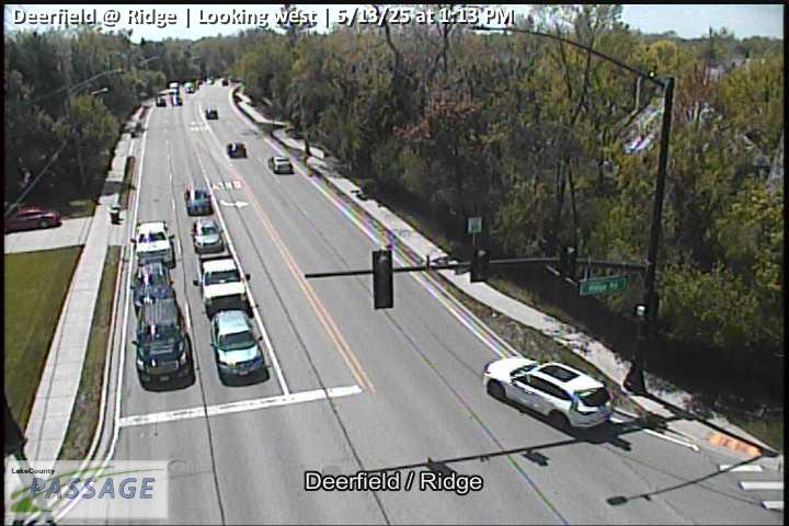 WorkingStill imageDeerfield at Ridge, looking west
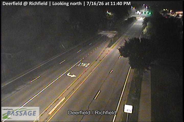 WorkingStill imageDeerfield at Richfield, looking north
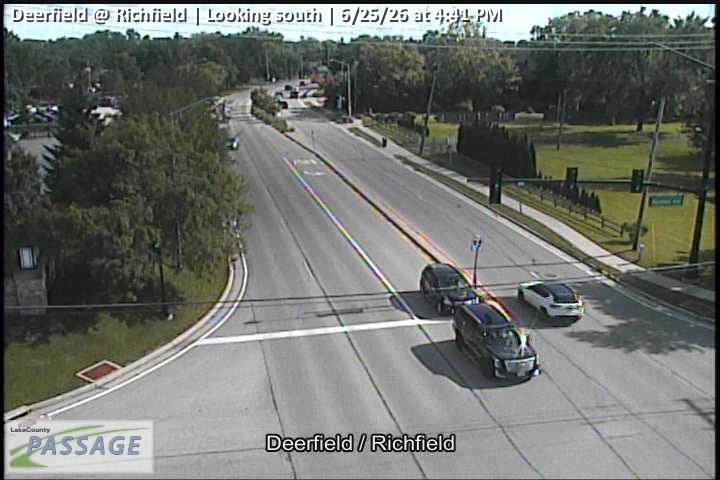 WorkingStill imageDeerfield at Richfield, looking south
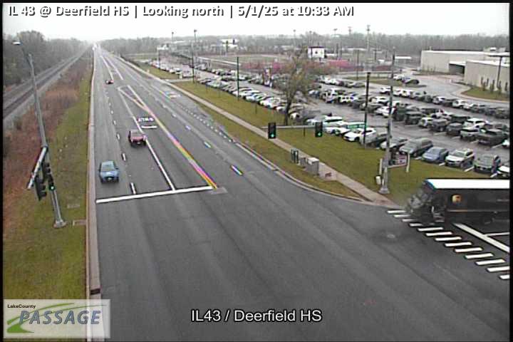 WorkingStill imageIL 43 at Deerfield HS, looking north
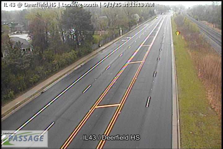 WorkingStill imageIL 43 at Deerfield HS, looking south
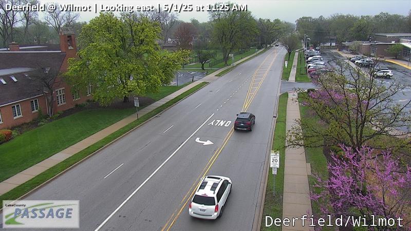 WorkingStill imageDeerfield at Wilmot, looking east
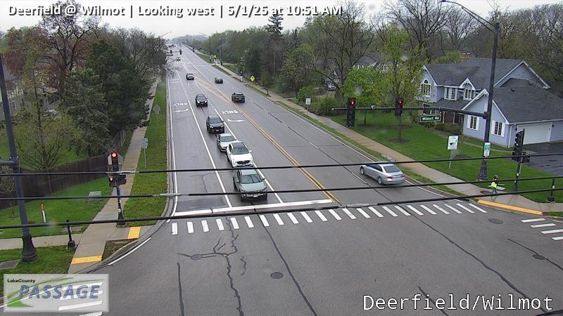 WorkingStill imageDeerfield at Wilmot, looking west
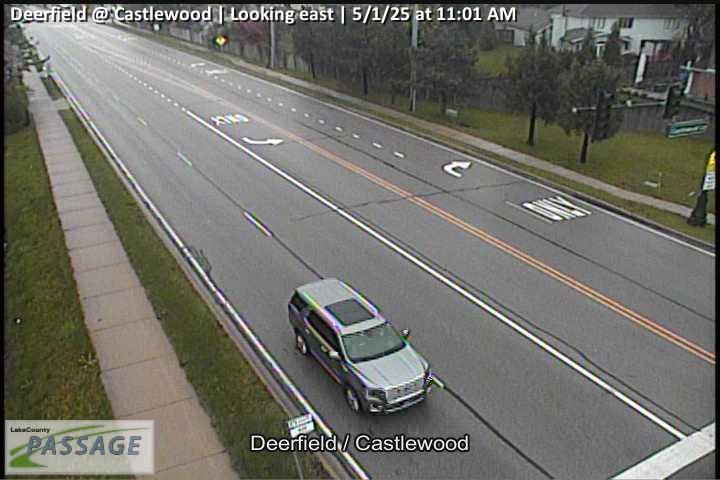 WorkingStill imageDeerfield at Castlewood, looking east
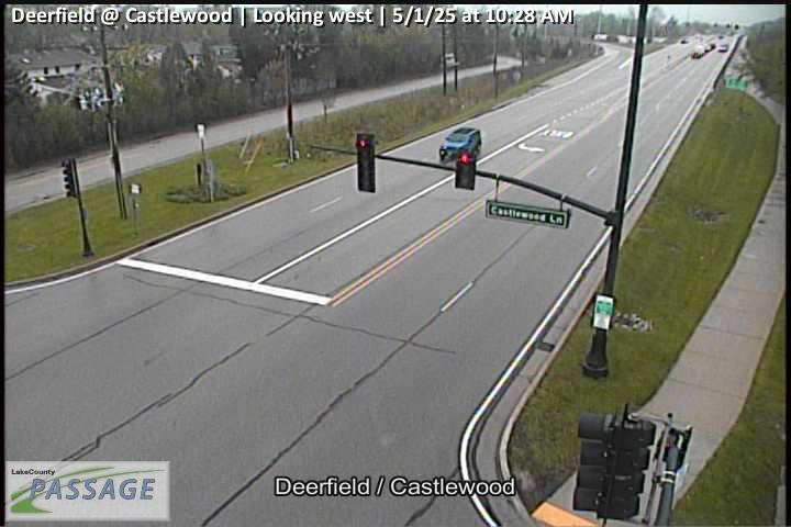 WorkingStill imageDeerfield at Castlewood, looking west
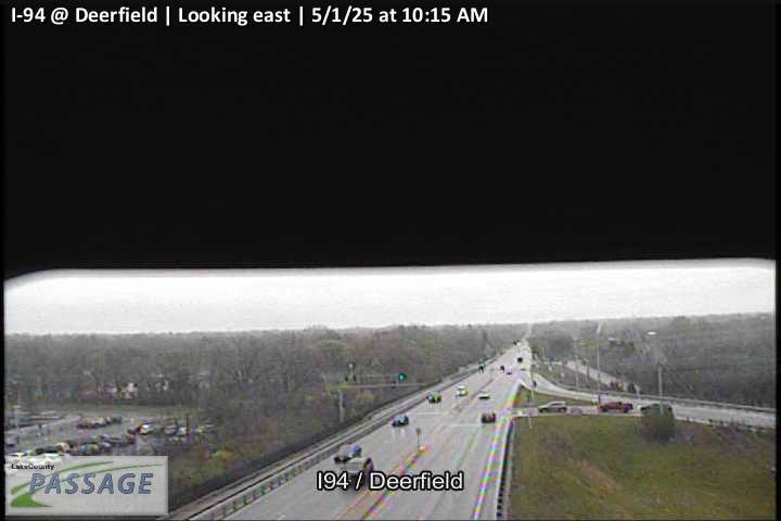 WorkingStill imageI-94 at Deerfield, looking east
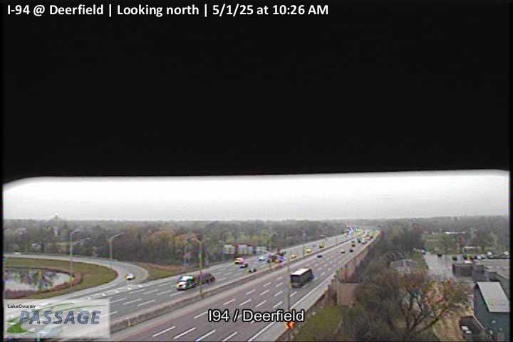 WorkingStill imageI-94 at Deerfield, looking north
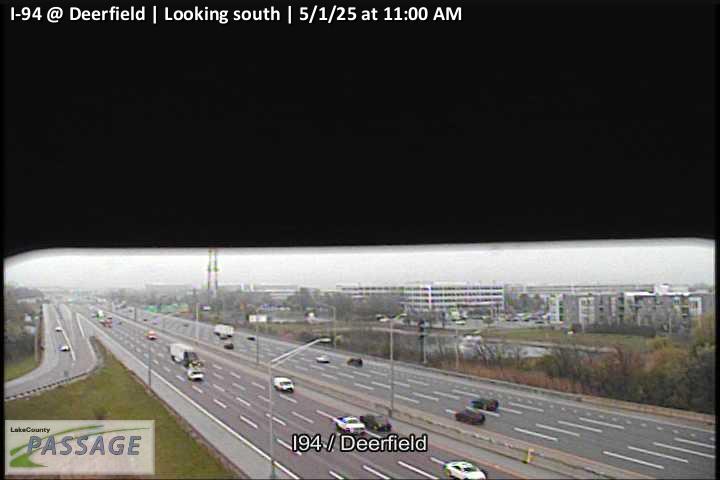 WorkingStill imageI-94 at Deerfield, looking south
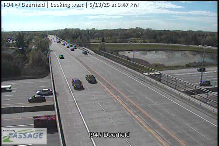 WorkingStill imageI-94 at Deerfield, looking west
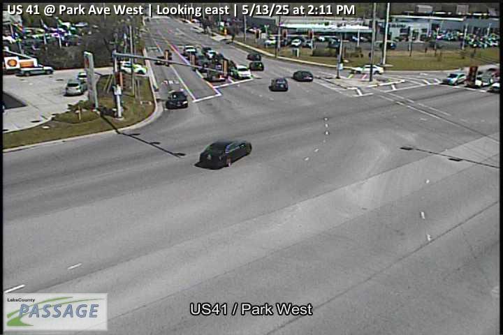 WorkingStill imageUS 41 at Park Ave West, looking east
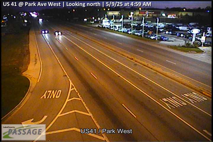 WorkingStill imageUS 41 at Park Ave West, looking north
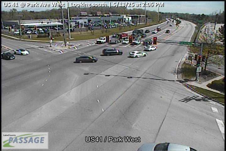 WorkingStill imageUS 41 at Park Ave West, looking south
 WorkingStill imageUS 41 at Park Ave West, looking west
 WorkingStill imageCentral at Beverly, looking east
 WorkingStill imageCentral at Beverly, looking west
 WorkingStill imageDeerfield at Parkway N, looking east
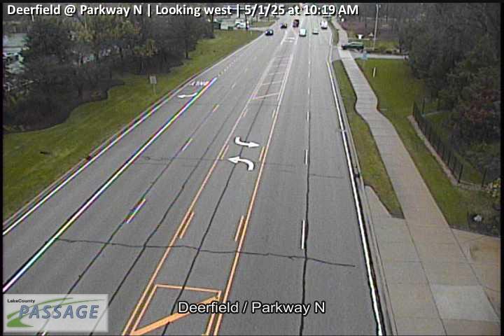 WorkingStill imageDeerfield at Parkway N, looking west
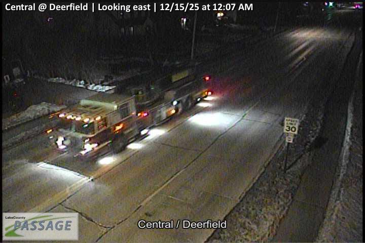 WorkingStill imageCentral at Deerfield, looking east
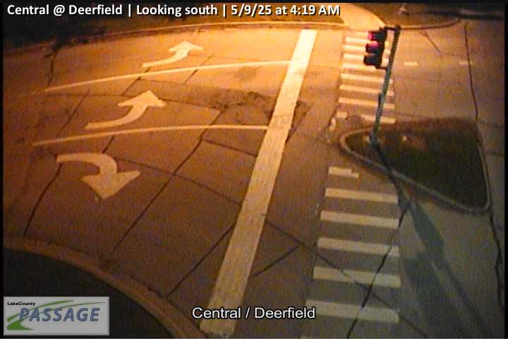 WorkingStill imageCentral at Deerfield, looking south
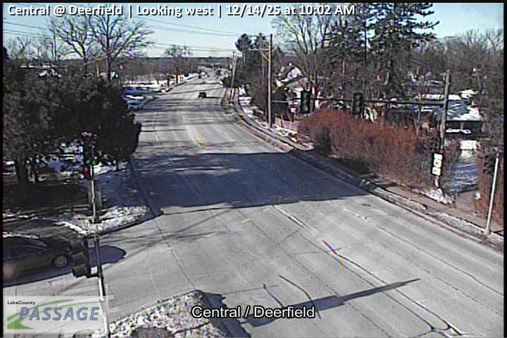 WorkingStill imageCentral at Deerfield, looking west
 WorkingStill imageLake Cook at Red Oak, looking east
 WorkingStill imageLake Cook at Red Oak, looking west
 WorkingStill imageIL 22 at Tennyson, looking east
 WorkingStill imageIL 22 at Tennyson, looking west
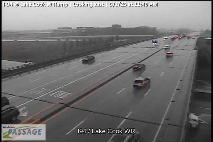 WorkingStill imageI-94 at Lake Cook W Ramp, looking east
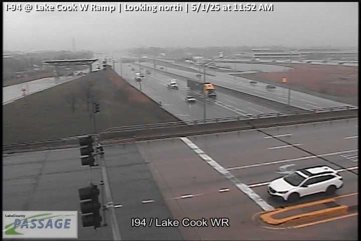 WorkingStill imageI-94 at Lake Cook W Ramp, looking north
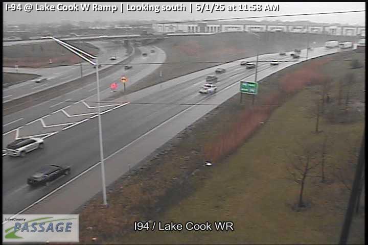 WorkingStill imageI-94 at Lake Cook W Ramp, looking south
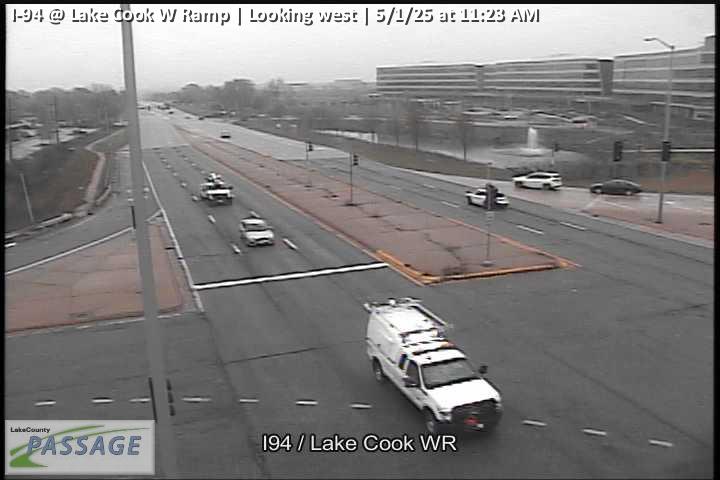 WorkingStill imageI-94 at Lake Cook W Ramp, looking west
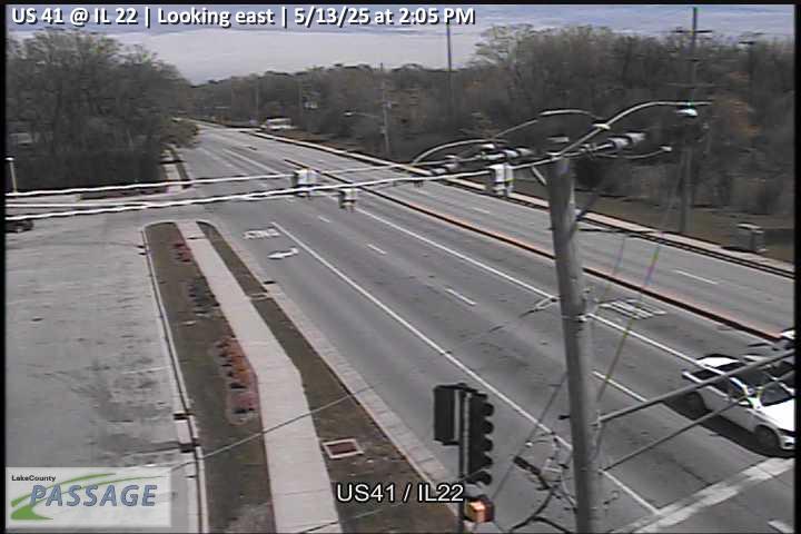 WorkingStill imageUS 41 at IL 22, looking east
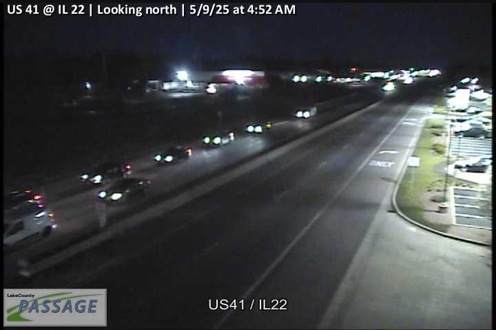 WorkingStill imageUS 41 at IL 22, looking north
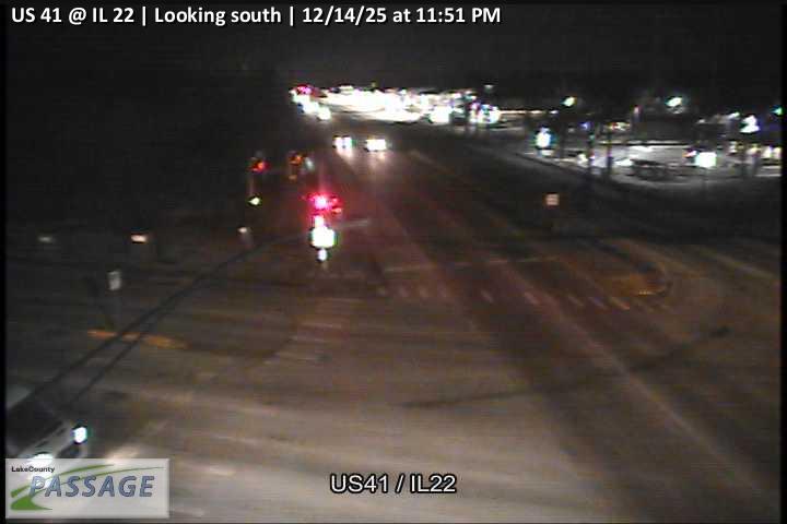 WorkingStill imageUS 41 at IL 22, looking south
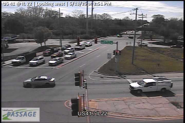 WorkingStill imageUS 41 at IL 22, looking west
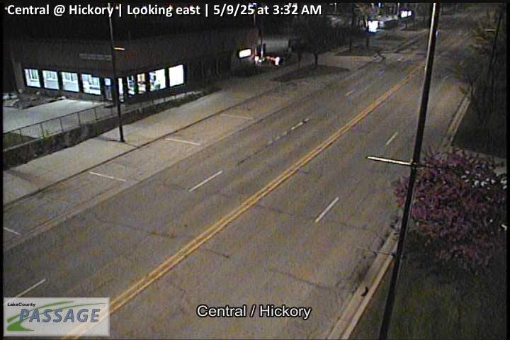 WorkingStill imageCentral at Hickory, looking east
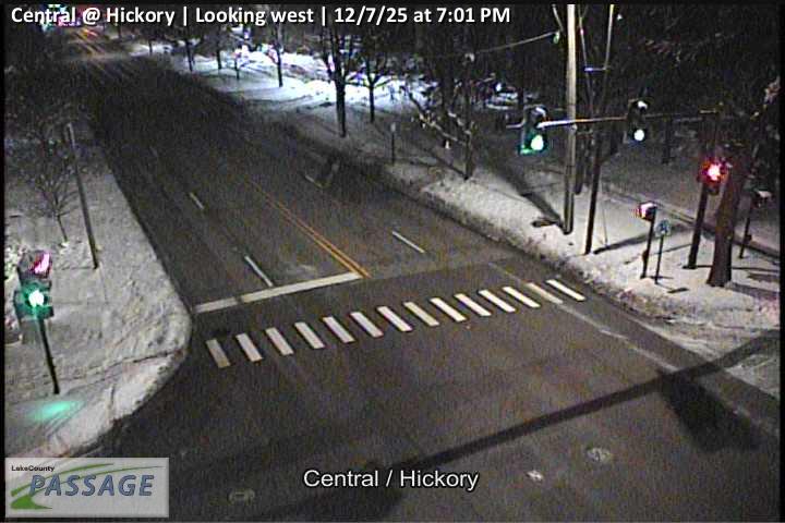 WorkingStill imageCentral at Hickory, looking west
 WorkingStill imageDeerfield at Laurel Ave - Hickory, looking east
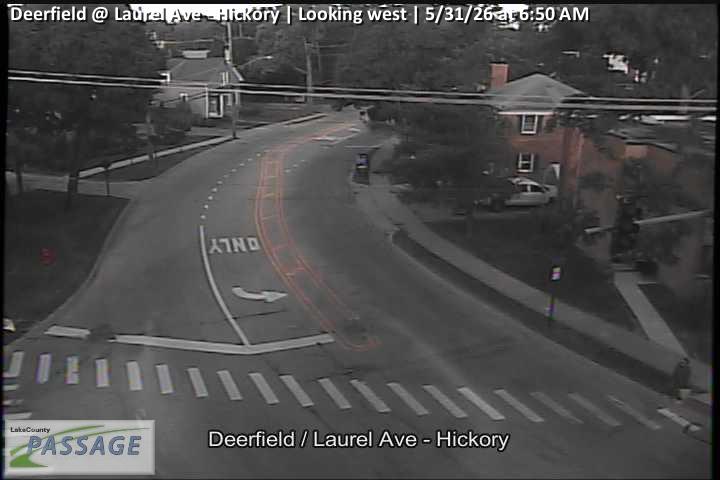 WorkingStill imageDeerfield at Laurel Ave - Hickory, looking west
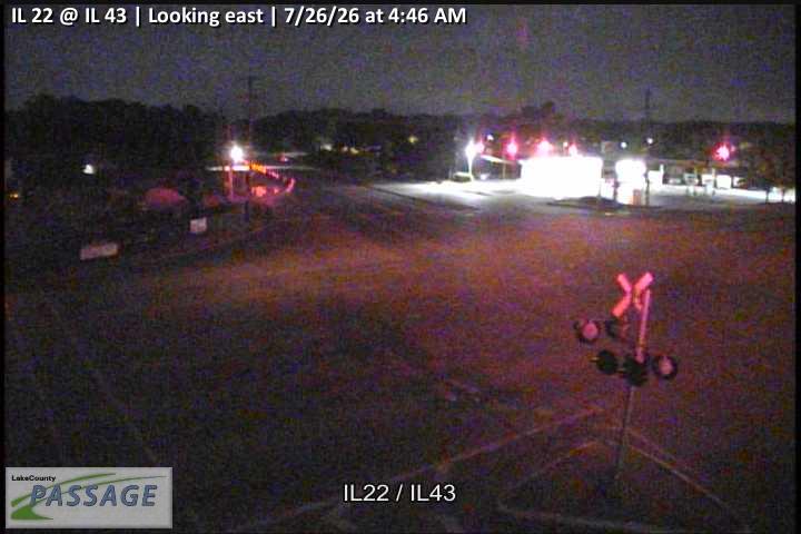 WorkingStill imageIL 22 at IL 43, looking east
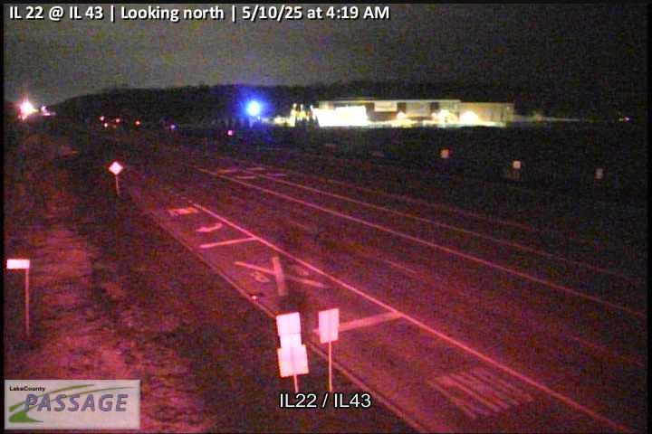 WorkingStill imageIL 22 at IL 43, looking north
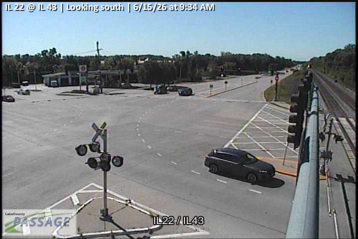 WorkingStill imageIL 22 at IL 43, looking south
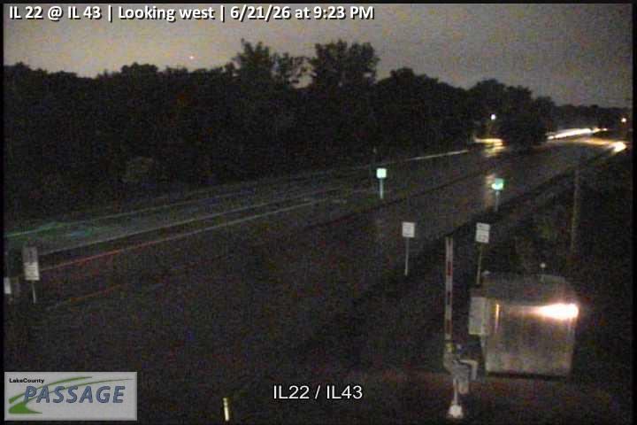 WorkingStill imageIL 22 at IL 43, looking west
_cctv_East_Leg.jpg) WorkingStill imageHalf Day at Summit (Wireless), looking east
WorkingStill imageHalf Day at Summit (Wireless), looking east_cctv_North_Leg.jpg) WorkingStill imageHalf Day at Summit (Wireless), looking north
WorkingStill imageHalf Day at Summit (Wireless), looking north_cctv_West_Leg.jpg) WorkingStill imageHalf Day at Summit (Wireless), looking west
WorkingStill imageHalf Day at Summit (Wireless), looking west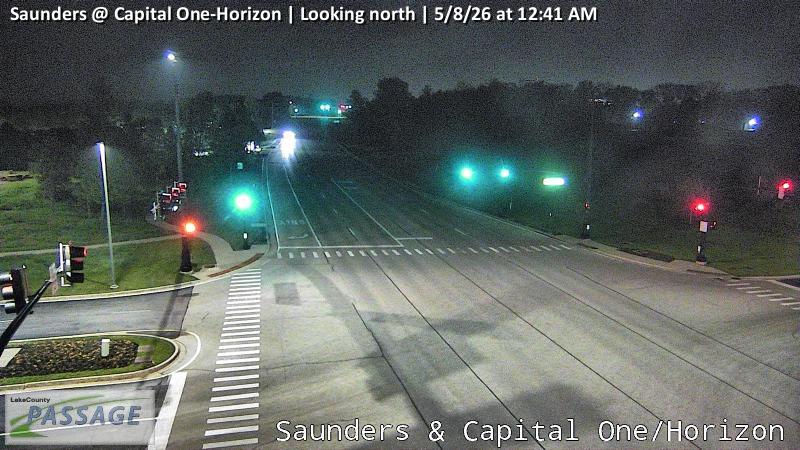 WorkingStill imageSaunders at Capital One-Horizon, looking north
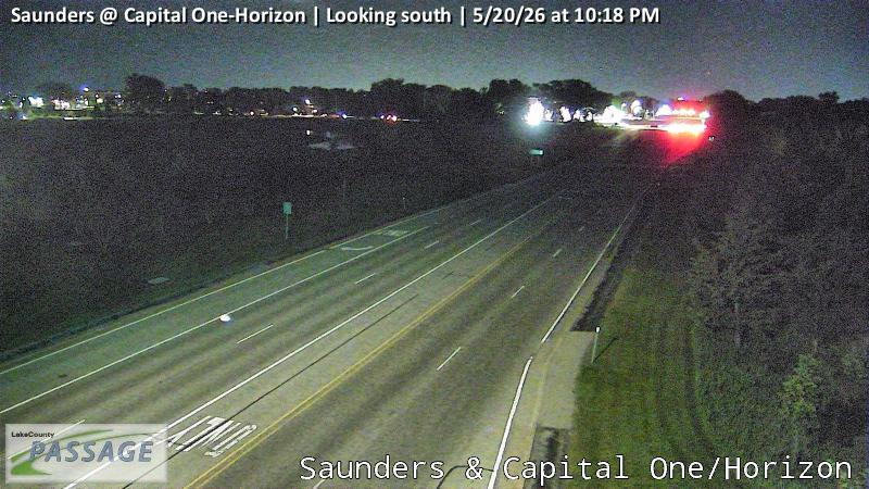 WorkingStill imageSaunders at Capital One-Horizon, looking south
 WorkingStill imagePark Ave West at HP Hospital, looking east
 WorkingStill imagePark Ave West at HP Hospital, looking west
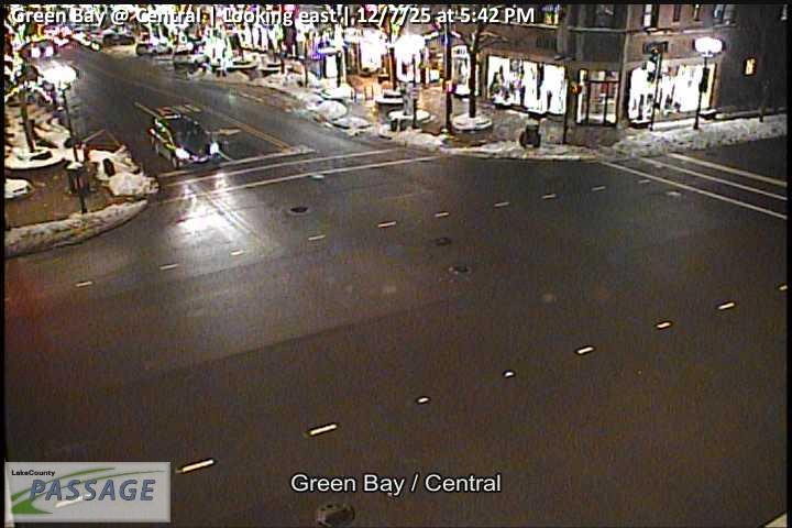 WorkingStill imageGreen Bay at Central, looking east
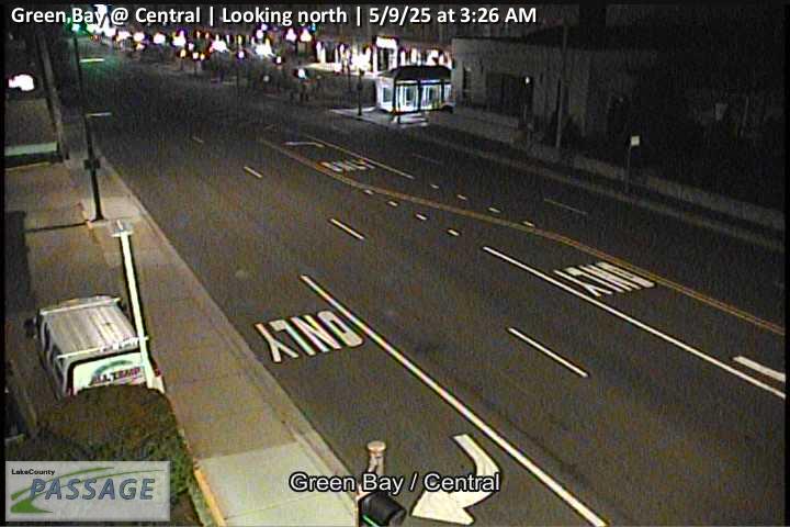 WorkingStill imageGreen Bay at Central, looking north
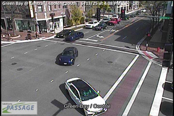 WorkingStill imageGreen Bay at Central, looking south
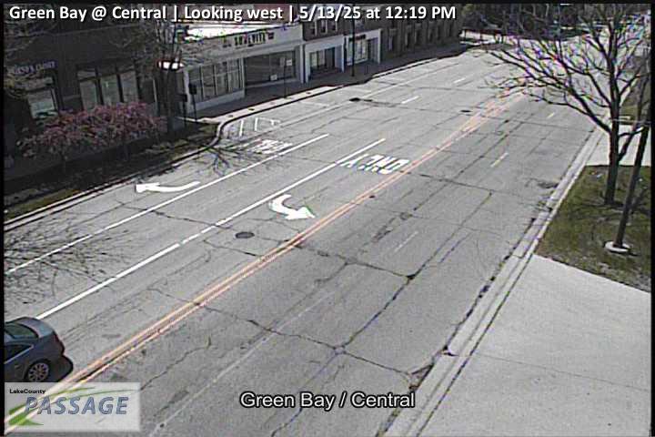 WorkingStill imageGreen Bay at Central, looking west
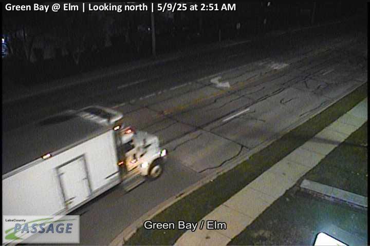 WorkingStill imageGreen Bay at Elm, looking north
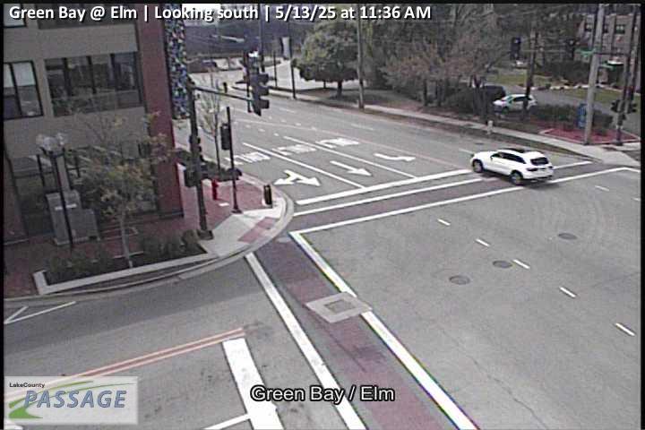 WorkingStill imageGreen Bay at Elm, looking south
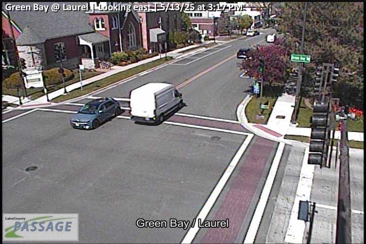 WorkingStill imageGreen Bay at Laurel, looking east
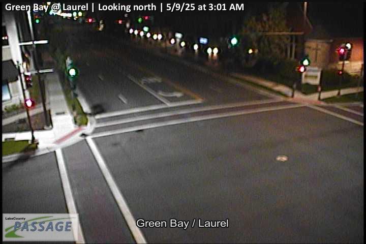 WorkingStill imageGreen Bay at Laurel, looking north
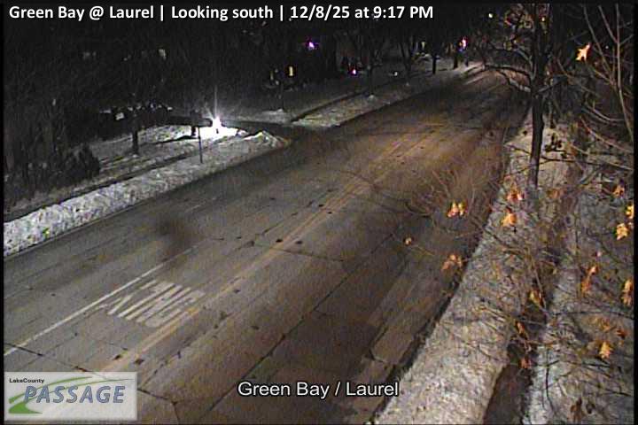 WorkingStill imageGreen Bay at Laurel, looking south
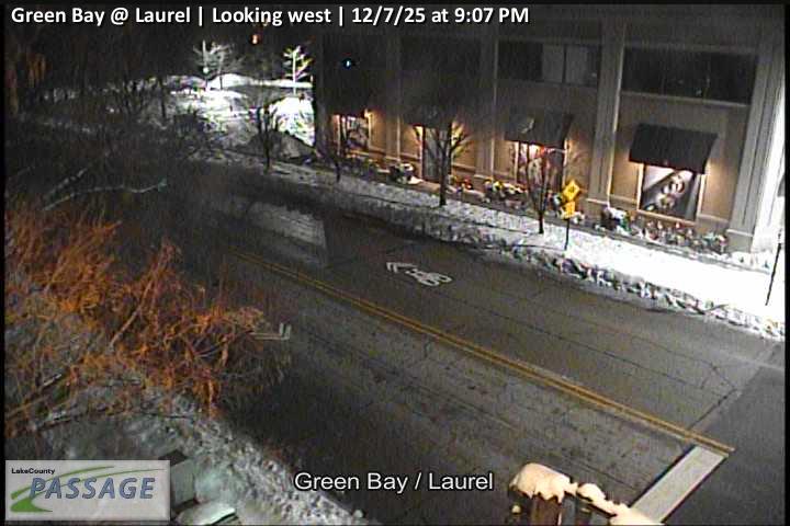 WorkingStill imageGreen Bay at Laurel, looking west
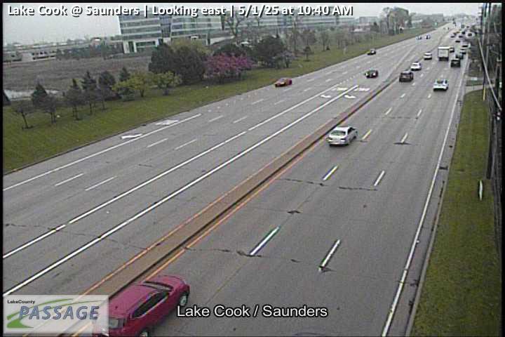 WorkingStill imageLake Cook at Saunders, looking east
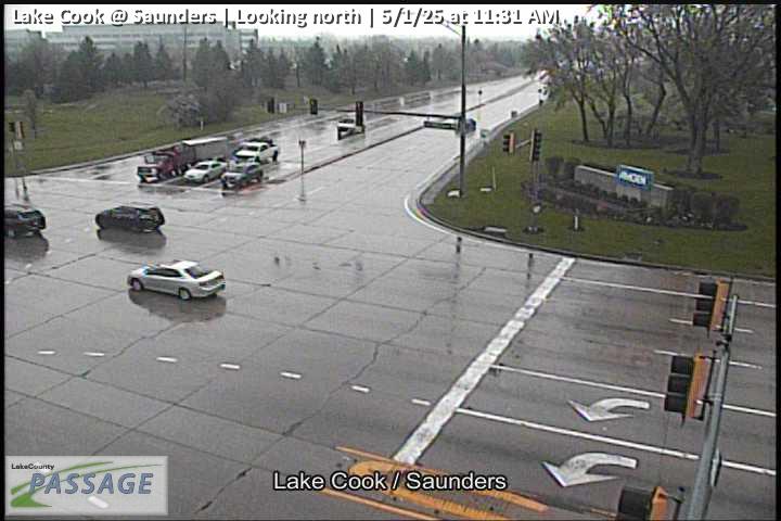 WorkingStill imageLake Cook at Saunders, looking north
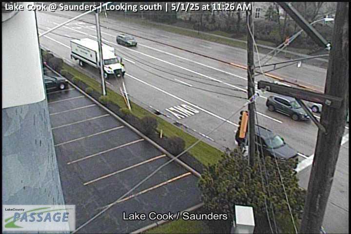 WorkingStill imageLake Cook at Saunders, looking south
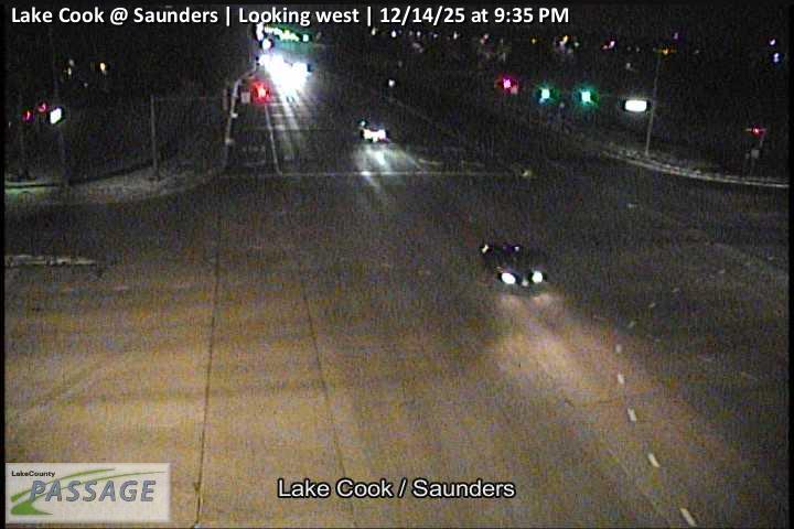 WorkingStill imageLake Cook at Saunders, looking west
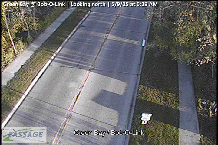 WorkingStill imageGreen Bay at Bob-O-Link, looking north
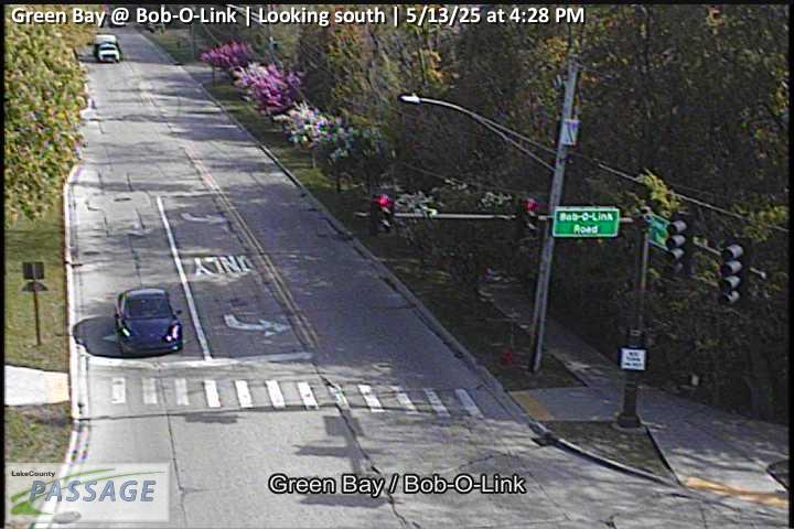 WorkingStill imageGreen Bay at Bob-O-Link, looking south
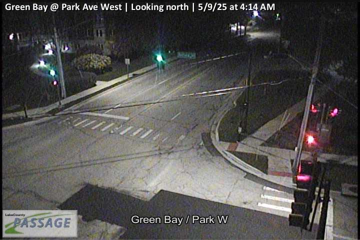 WorkingStill imageGreen Bay at Park Ave West, looking north
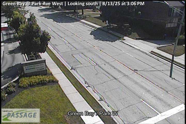 WorkingStill imageGreen Bay at Park Ave West, looking south
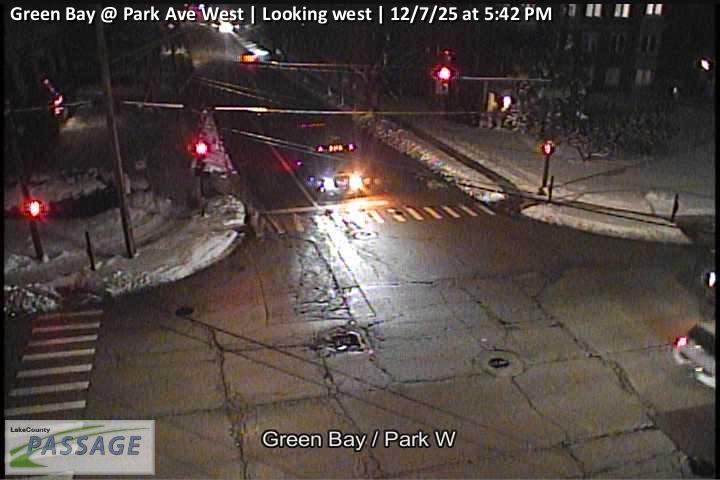 WorkingStill imageGreen Bay at Park Ave West, looking west
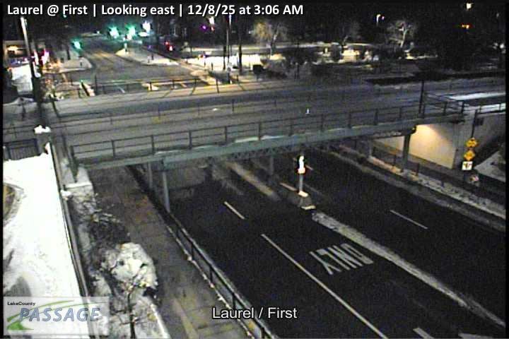 WorkingStill imageLaurel at First, looking east
 WorkingStill imageLaurel at First, looking north
 WorkingStill imageLaurel at First, looking south
 WorkingStill imageLaurel at First, looking west
 WorkingStill imageLaurel at St Johns, looking east
 WorkingStill imageLaurel at St Johns, looking north
 WorkingStill imageLaurel at St Johns, looking south
 WorkingStill imageLaurel at St Johns, looking west
 WorkingStill imageUS 41 at Lake Cook, looking east
 WorkingStill imageUS 41 at Lake Cook, looking north
 WorkingStill imageUS 41 at Lake Cook, looking south
 WorkingStill imageUS 41 at Lake Cook, looking west
_cctv_East_Leg.jpg) WorkingStill imageDeerfield at Portwine (Wireless), looking east
WorkingStill imageDeerfield at Portwine (Wireless), looking east_cctv_West_Leg.jpg) WorkingStill imageDeerfield at Portwine (Wireless), looking west
WorkingStill imageDeerfield at Portwine (Wireless), looking west_cctv_North_Leg.jpg) WorkingStill imageSheridan at Washington Ave (Cell), looking north
WorkingStill imageSheridan at Washington Ave (Cell), looking north_cctv_South_Leg.jpg) WorkingStill imageSheridan at Washington Ave (Cell), looking south
WorkingStill imageSheridan at Washington Ave (Cell), looking south_cctv_West_Leg.jpg) WorkingStill imageSheridan at Washington Ave (Cell), looking west
WorkingStill imageSheridan at Washington Ave (Cell), looking west WorkingStill imageI-94 at IL 22, looking east
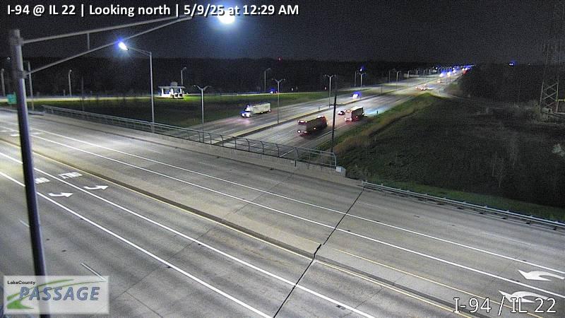 WorkingStill imageI-94 at IL 22, looking north
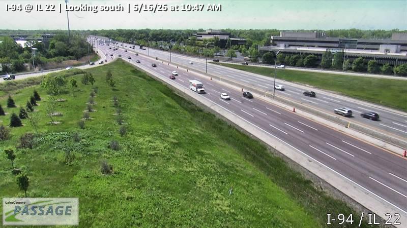 WorkingStill imageI-94 at IL 22, looking south
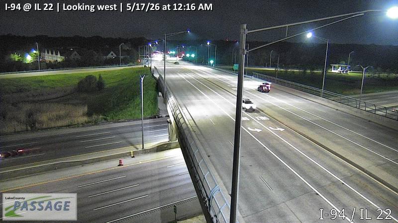 WorkingStill imageI-94 at IL 22, looking west
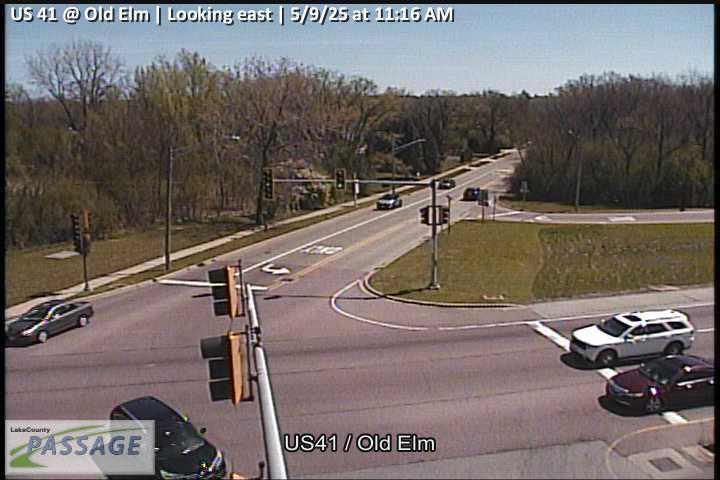 WorkingStill imageUS 41 at Old Elm, looking east
 WorkingStill imageUS 41 at Old Elm, looking north
 WorkingStill imageUS 41 at Old Elm, looking south
 WorkingStill imageUS 41 at Old Elm, looking west
 WorkingStill imageRiverwoods at Yorkshire, looking north
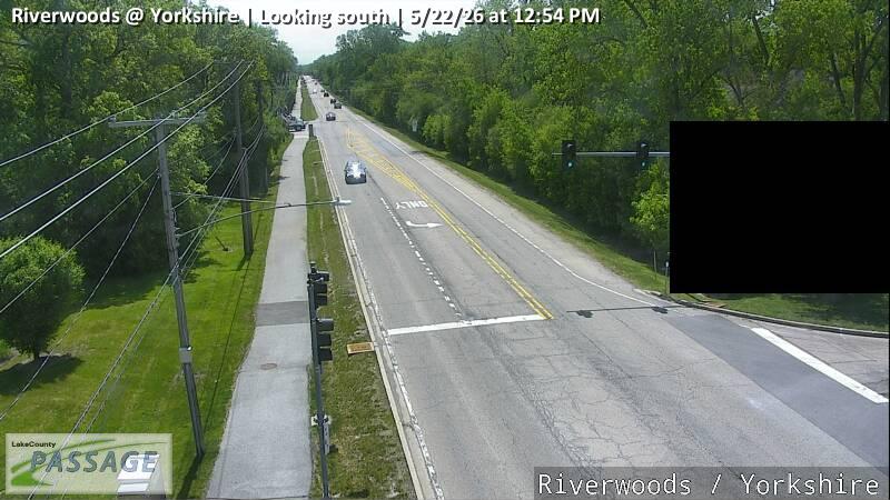 WorkingStill imageRiverwoods at Yorkshire, looking south
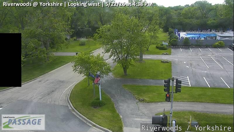 WorkingStill imageRiverwoods at Yorkshire, looking west
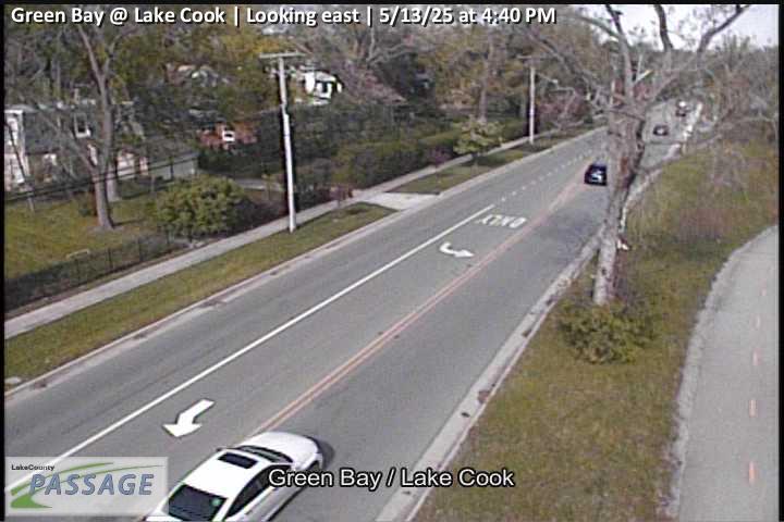 WorkingStill imageGreen Bay at Lake Cook, looking east
 WorkingStill imageGreen Bay at Lake Cook, looking north
 WorkingStill imageGreen Bay at Lake Cook, looking south
 WorkingStill imageGreen Bay at Lake Cook, looking west
 WorkingStill imageIL 22 at Riverwoods, looking east
 WorkingStill imageIL 22 at Riverwoods, looking north
 WorkingStill imageIL 22 at Riverwoods, looking south
 WorkingStill imageIL 22 at Riverwoods, looking west
 WorkingStill imageIL 21 at Lake Cook, looking east
 WorkingStill imageIL 21 at Lake Cook, looking north
 WorkingStill imageIL 21 at Lake Cook, looking south
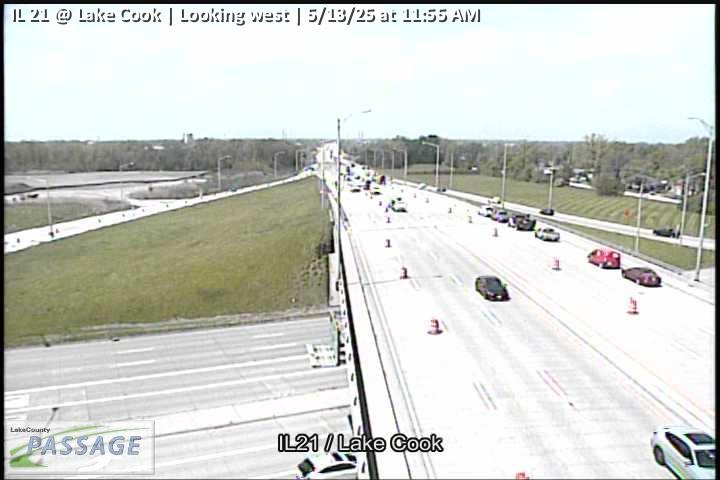 WorkingStill imageIL 21 at Lake Cook, looking west
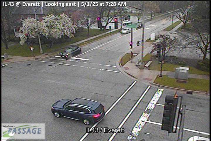 WorkingStill imageIL 43 at Everett, looking east
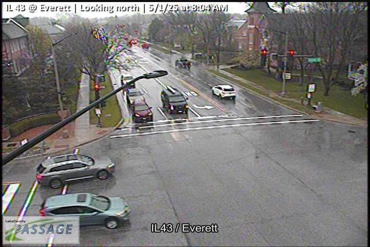 WorkingStill imageIL 43 at Everett, looking north
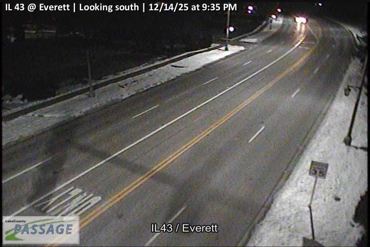 WorkingStill imageIL 43 at Everett, looking south
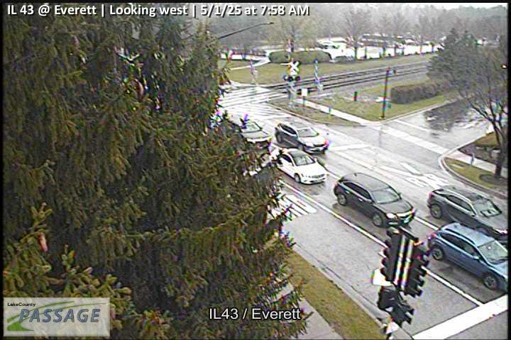 WorkingStill imageIL 43 at Everett, looking west
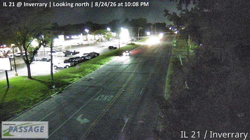 WorkingStill imageIL 21 at Inverrary, looking north
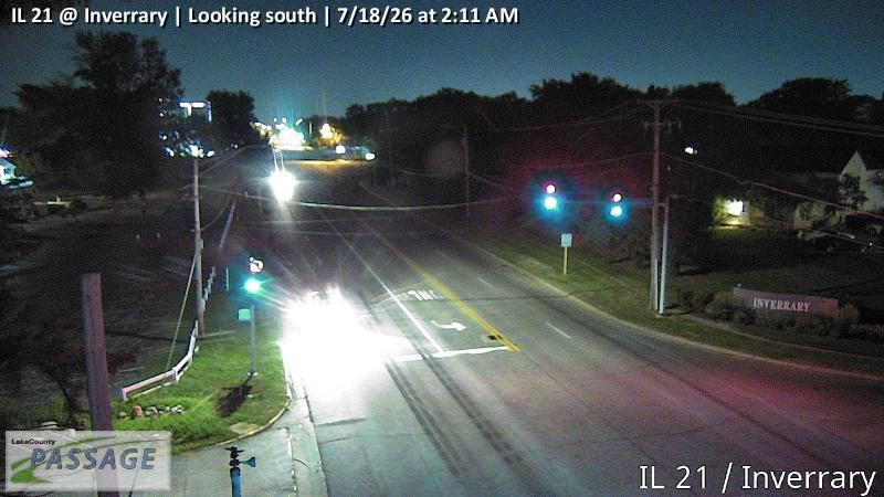 WorkingStill imageIL 21 at Inverrary, looking south
 WorkingStill imageIL 21 at Deerfield, looking east
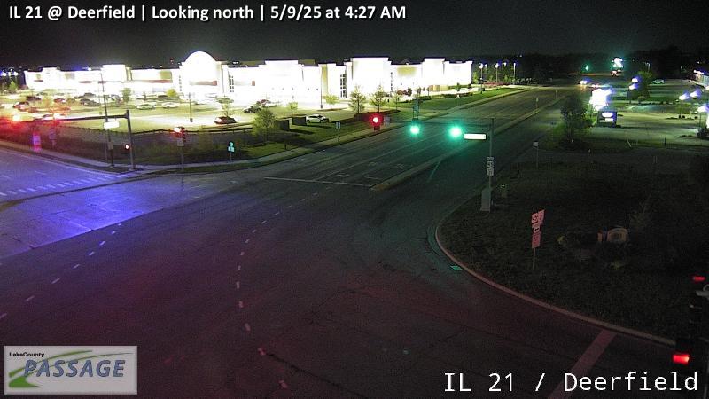 WorkingStill imageIL 21 at Deerfield, looking north
 WorkingStill imageIL 21 at Deerfield, looking south
 WorkingStill imageIL 21 at Deerfield, looking west
 WorkingStill imageIL 21-US 45 at Aptakisic Rd, looking north
 WorkingStill imageIL 21-US 45 at Aptakisic Rd, looking south
 WorkingStill imageIL 21-US 45 at Aptakisic Rd, looking west
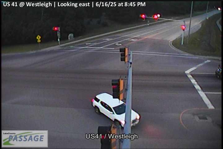 WorkingStill imageUS 41 at Westleigh, looking east
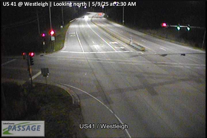 WorkingStill imageUS 41 at Westleigh, looking north
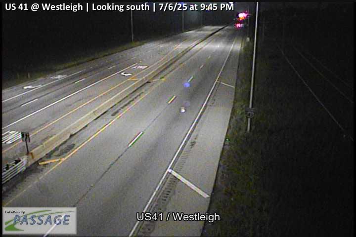 WorkingStill imageUS 41 at Westleigh, looking south
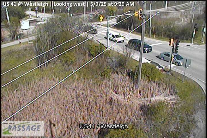 WorkingStill imageUS 41 at Westleigh, looking west
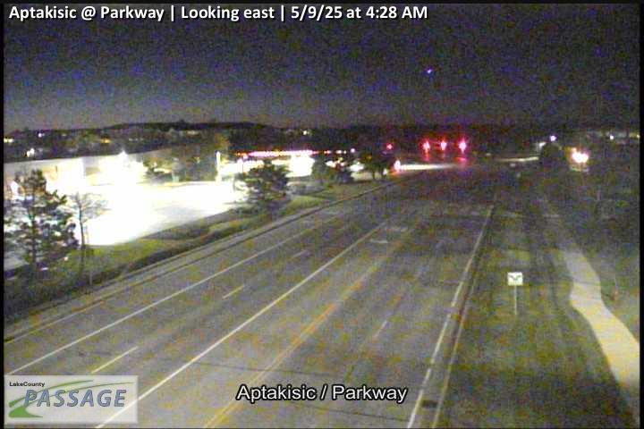 WorkingStill imageAptakisic at Parkway, looking east
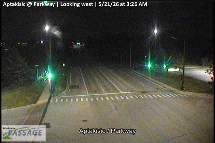 WorkingStill imageAptakisic at Parkway, looking west
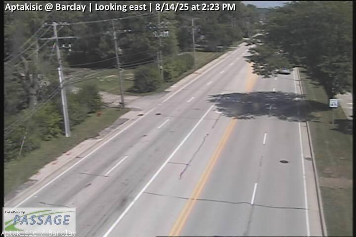 WorkingStill imageAptakisic at Barclay, looking east
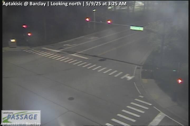 WorkingStill imageAptakisic at Barclay, looking north
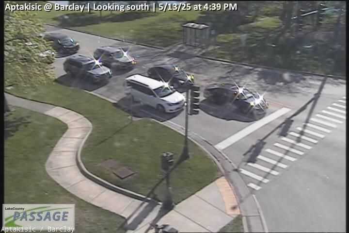 WorkingStill imageAptakisic at Barclay, looking south
_cctv_East_Leg.jpg) WorkingStill imageEverett at Riverwoods (Cell), looking east
WorkingStill imageEverett at Riverwoods (Cell), looking east_cctv_North_Leg.jpg) WorkingStill imageEverett at Riverwoods (Cell), looking north
WorkingStill imageEverett at Riverwoods (Cell), looking north_cctv_South_Leg.jpg) WorkingStill imageEverett at Riverwoods (Cell), looking south
WorkingStill imageEverett at Riverwoods (Cell), looking south_cctv_West_Leg.jpg) WorkingStill imageEverett at Riverwoods (Cell), looking west
WorkingStill imageEverett at Riverwoods (Cell), looking west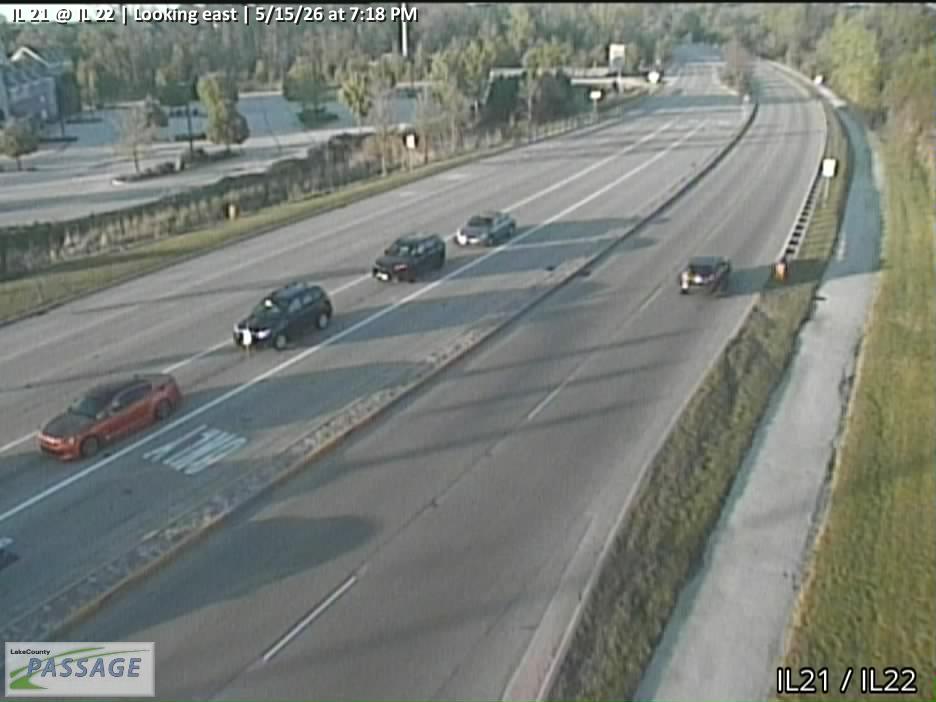 WorkingStill imageIL 21 at IL 22, looking east
 WorkingStill imageIL 21 at IL 22, looking north
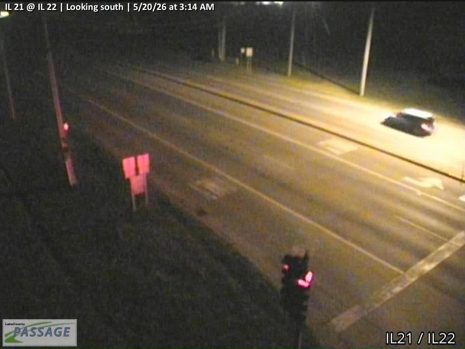 WorkingStill imageIL 21 at IL 22, looking south
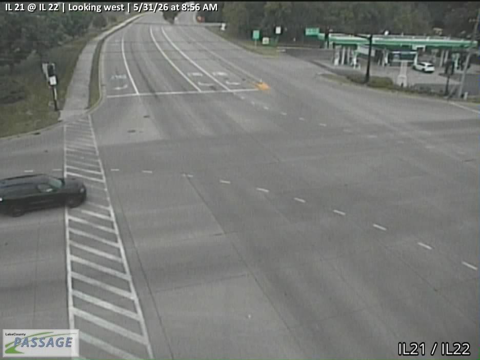 WorkingStill imageIL 21 at IL 22, looking west
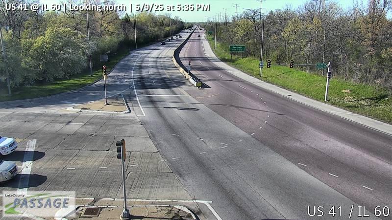 WorkingStill imageUS 41 at IL 60, looking north
 WorkingStill imageUS 41 at IL 60, looking south
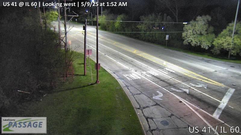 WorkingStill imageUS 41 at IL 60, looking west
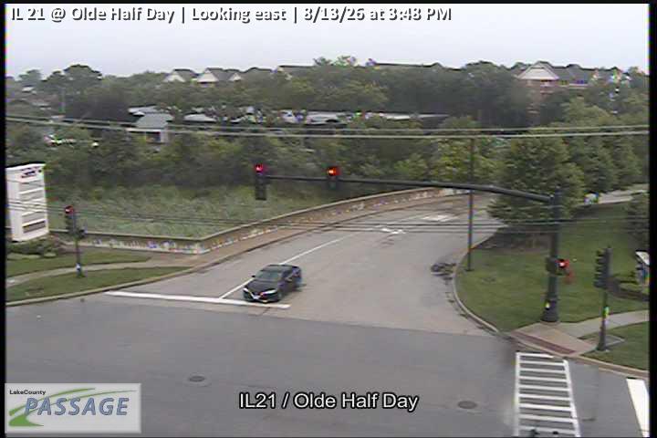 WorkingStill imageIL 21 at Olde Half Day, looking east
 WorkingStill imageIL 21 at Olde Half Day, looking north
 WorkingStill imageIL 21 at Olde Half Day, looking south
 WorkingStill imageIL 21 at Olde Half Day, looking west
 WorkingStill imageIL 43 at IL 60, looking east
 WorkingStill imageIL 43 at IL 60, looking north
 WorkingStill imageIL 43 at IL 60, looking south
 WorkingStill imageIL 43 at IL 60, looking west
No live video among these cameras. Turn off "Live video only" to see them all.
Best cams to watch
- Aptakisic at Barclay, looking west — Still image · every 10 min, working 100 % of the time in the last 30 days.
- IL 43 at Deerfield, looking east — Still image · every 10 min.
- IL 43 at Deerfield, looking north — Still image · every 10 min.
Deerfield is a leafy North Shore village of about 19,200 people (2020 Census), roughly 28 miles north of downtown Chicago and lying mostly in Lake County with a small piece in Cook. Settled in 1835 and incorporated in 1903, it took its name in 1850 after a close vote, 17 to 13, in favor of honoring Deerfield, Massachusetts. In the 1850s the area was a stop on the Underground Railroad. Today it is better known as a corporate address: Walgreens Boots Alliance, Baxter and Fortune Brands are among the companies headquartered here, and others such as Caterpillar and Mondelez once were.
That business role comes from location. On Deerfield’s southern side, near Lake-Cook Road, Interstate 94 meets the Tri-State Tollway (I-294) and the Edens Spur, and the combined highway carries US-41 traffic onto the Edens Expressway toward the city. It is one of the busiest highway splits on Chicago’s north side.
Highway views from IDOT
The 59 Deerfield cameras are from the Illinois Department of Transportation’s Gateway traveler information system, which powers Getting Around Illinois and Travel Midwest. Expect expressway and tollway views around the I-94, I-294 and Edens junction, plus cameras along Waukegan Road (IL-43) and Lake-Cook Road. Each picture is a still image updated periodically, so watch for changes over several minutes rather than live motion.
Deerfield runs on Central Time. Weekday mornings show southbound traffic building toward Chicago, and the evening rush reverses it. Friday afternoons in summer can back up northbound lanes as people head for Wisconsin. Lake Michigan is only a few miles east, so spring and early summer sometimes bring a cool lake breeze and patchy fog. Winter storms and early sunsets make the highway lights stand out after dark.
Two Metra stations, Deerfield and Lake Cook Road, sit on the Milwaukee District North Line. Highland Park, Northbrook and Bannockburn border the village, and cameras in those places may also appear within the radius.
Sources: Deerfield, Illinois – Wikipedia · Interstate 94 in Illinois – Wikipedia · Travel Midwest.
Nearby places
- Waukegan (620)
- Wheaton (617)
- North Peoria (554)
- Peoria (553)
- Naperville (475)
- Gurnee (386)
- Palatine (354)
- Grayslake (346)
Questions about Deerfield
How many webcams can I watch in Deerfield?
LiveLocation lists 165 cameras in and around Deerfield, United States: 0 live video, 165 still images. 165 of them were live or showing a fresh image at the last check.
Who runs the cameras in Deerfield?
All of them come from Illinois DOT (165). Each camera plays straight from the agency or owner that runs it, with credit. Illinois DOT
What can I see on the Deerfield cameras?
All of them show traffic and highway (165). Good ones to start with: Aptakisic at Barclay, looking west and IL 43 at Deerfield, looking east. Aptakisic at Barclay, looking west IL 43 at Deerfield, looking east
Can I watch live video from Deerfield?
Not yet: the cameras here send still images that refresh about every 10 minutes. The map can show only live-video cameras nearby. Live video on the map
What time is it in Deerfield, and when is it light?
Deerfield is on America/Chicago time. On October 7 the sun rises at 6:55 AM and sets at 6:22 PM, so still images are clearest between those times. Road cameras show the most traffic in the weekday morning and evening rush hours.
Which places near Deerfield also have cameras?
The nearest are Highland Park (2.4 mi away, 118 cameras), Northbrook (3.1 mi away, 92 cameras) and Wheeling (4.9 mi away, 173 cameras). Highland Park Northbrook Wheeling
How can I see the Deerfield cameras on a map?
The map at the top of this page shows all 165 of them. The live camera radar centers on Deerfield and lists every camera within 5 to 250 miles, nearest first, with filters for live video, traffic, nature and more. Open the radar on Deerfield
Place names and locations: GeoNames, licensed under CC BY 4.0.