Live cameras in Muscatine, United States
25 cameras: 0 live video, 25 still images · 9 working now · updated Oct 8, 09:26 UTC
Muscatine has 25 live cameras on LiveLocation right now: 0 live video, 25 still images. Good places to start: R44: I-80 EB, IL 17 (Third St.) at IL 94 (College Ave.), Mercer County, looking east, IL 17 (Third St.) at IL 94 (College Ave.), Mercer County, looking north. Local time is 4:26 AM (America/Chicago). Today the sun rises at 7:08 AM and sets at 6:34 PM.
Muscatine live cameras
Every Muscatine live camera we know of: 0 live video, 25 still images. 9 of them were live or fresh at the last check. Muscatine is home to about 24,000 people.
Weather now in Muscatine: 54 °F (12 °C), partly cloudy, wind 4 mph (7 km/h) from the northwest. Forecast for 4 AM local time. Weather: MET Norway (CC BY 4.0)
 WorkingStill imageR44: I-80 EB
 WorkingStill imageIL 17 (Third St.) at IL 94 (College Ave.), Mercer County, looking east
 WorkingStill imageIL 17 (Third St.) at IL 94 (College Ave.), Mercer County, looking north
 WorkingStill imageIL 17 (Third St.) at IL 94 (College Ave.), Mercer County, looking south
 WorkingStill imageIL 17 (Third St.) at IL 94 (College Ave.), Mercer County, looking west
 WorkingStill imageIL 17 (Third St.) at IL 94 (Fifteenth Ave.)/Walmart Entrance, Mercer County, looking east
 WorkingStill imageIL 17 (Third St.) at IL 94 (Fifteenth Ave.)/Walmart Entrance, Mercer County, looking north
 WorkingStill imageIL 17 (Third St.) at IL 94 (Fifteenth Ave.)/Walmart Entrance, Mercer County, looking south
 WorkingStill imageIL 17 (Third St.) at IL 94 (Fifteenth Ave.)/Walmart Entrance, Mercer County, looking west
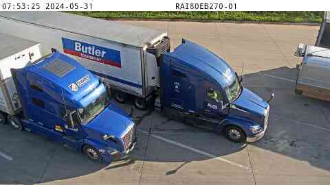 Not checked yetStill imageRest Area: I-80 EB MM 270 near Wilton, center view
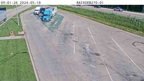 Not checked yetStill imageRest Area: I-80 EB MM 270 near Wilton, entry view
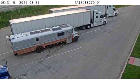 Not checked yetStill imageRest Area: I-80 EB MM 270 near Wilton, exit view
 Not checked yetStill imageRest Area: I-80 WB MM 270 near Wilton, center view
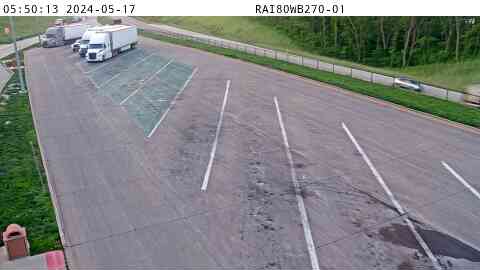 Not checked yetStill imageRest Area: I-80 WB MM 270 near Wilton, entry view
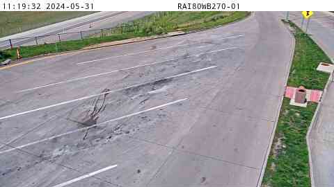 Not checked yetStill imageRest Area: I-80 WB MM 270 near Wilton, exit view
 Not checked yetStill imageParking Only: I-80 EB MM 268 near Wilton, center view
 Not checked yetStill imageParking Only: I-80 EB MM 268 near Wilton, entry view
 Not checked yetStill imageParking Only: I-80 EB MM 268 near Wilton, exit view
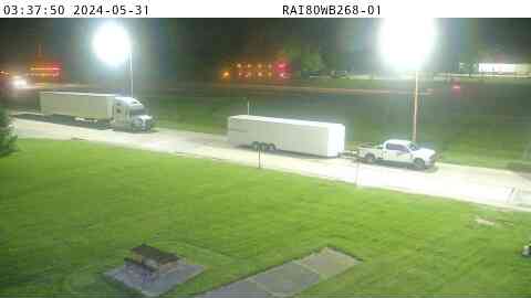 Not checked yetStill imageParking Only: I-80 WB MM 268 near Wilton, center view
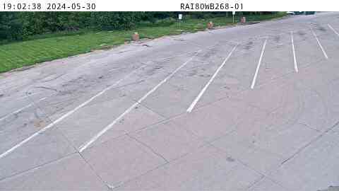 Not checked yetStill imageParking Only: I-80 WB MM 268 near Wilton, entry view
 Not checked yetStill imageParking Only: I-80 WB MM 268 near Wilton, exit view
 Not checked yetStill imageR44: I-80 EB
 Not checked yetStill imageR44: I-80 EB, view 2
 Not checked yetStill imageR44: I-80 EB, view 3
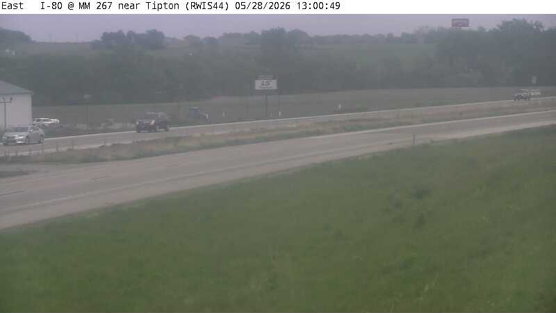 Not checked yetStill imageR44: I-80 EB, view 4
No live video among these cameras. Turn off "Live video only" to see them all.
Best cams to watch
- R44: I-80 EB — Still image · every 10 min.
- IL 17 (Third St.) at IL 94 (College Ave.), Mercer County, looking east — Still image · every 10 min.
- IL 17 (Third St.) at IL 94 (College Ave.), Mercer County, looking north — Still image · every 10 min.
Muscatine is the county seat of Muscatine County in eastern Iowa, set on a sweeping bend of the Mississippi River about thirty miles southwest of the Quad Cities. The 2020 census counted about 23,800 residents. It began as a trading post in 1833 and was briefly called Bloomington before taking a name linked to Muscatine Island and the Mascouten people. Before the Civil War it had Iowa's largest Black community, led by figures such as Alexander Clark, who later challenged school segregation in court.
Muscatine once made a large share of the world's freshwater pearl buttons from river mussel shells, and the Pearl Button Museum downtown tells that story. Mark Twain lived here briefly in the 1850s and later praised its river sunsets, and local farms are known for Muscatine melons, sold at roadside stands in late summer.
Two states, one river crossing
This page mixes two state agencies. Most views are Iowa Department of Transportation cameras from the 511 system, including some road-weather stations that pair a camera with pavement sensors. Others come from the Illinois Department of Transportation's Gateway system, because the Norbert F. Beckey Bridge carries Iowa Highway 92 across the Mississippi from Muscatine into Illinois, and some cameras on the Illinois side map closest to this town. U.S. Route 61 also runs through the area toward Davenport and Burlington. None of them stream; each view is a photo replaced every few minutes.
Both sides of the river here share Central Time, so the Iowa and Illinois images line up. Winters bring snow, ice and occasional river fog, while spring floods sometimes push the Mississippi into riverside parks. On summer evenings, sunset comes around half past eight, which is a lovely hour to look toward the river. Barge traffic and the lock and dam just upstream keep the river busy from spring through fall.
Wildcat Den State Park, with sandstone bluffs and an old gristmill, is a short drive northeast along the river road.
Sources: Muscatine, Iowa - Wikipedia · Norbert F. Beckey Bridge - Wikipedia · Iowa 511 traveler information.
Nearby places
- Waukegan (620)
- Wheaton (617)
- North Peoria (554)
- Peoria (553)
- Naperville (475)
- Gurnee (386)
- Palatine (354)
- Grayslake (346)
Questions about Muscatine
How many cameras does LiveLocation have in Muscatine?
LiveLocation lists 25 cameras in and around Muscatine, United States: 0 live video, 25 still images. 9 of them were live or showing a fresh image at the last check.
Where do the Muscatine cameras come from?
They come from Iowa DOT (17) and Illinois DOT (8). Each camera plays straight from the agency or owner that runs it, with credit. Iowa DOT Illinois DOT
What kinds of views are there in Muscatine?
The views are traffic and highway (20) and pass and road weather (5). Good ones to start with: R44: I-80 EB and IL 17 (Third St.) at IL 94 (College Ave.), Mercer County, looking east. R44: I-80 EB IL 17 (Third St.) at IL 94 (College Ave.), Mercer County, looking east
Is there live video from Muscatine?
Not yet: the cameras here send still images that refresh about every 8 minutes. The map can show only live-video cameras nearby. Live video on the map
When is the best time to watch the Muscatine cameras?
Muscatine is on America/Chicago time. On October 8 the sun rises at 7:08 AM and sets at 6:34 PM, so still images are clearest between those times. Road cameras show the most traffic in the weekday morning and evening rush hours.
Are there live cameras near Muscatine?
The nearest are Rock Island (25 mi away, 19 cameras), Davenport (25 mi away, 47 cameras) and Moline (28 mi away, 17 cameras). Rock Island Davenport Moline
Is there a map of the cameras in Muscatine?
The map at the top of this page shows all 25 of them. The live camera radar centers on Muscatine and lists every camera within 5 to 250 miles, nearest first, with filters for live video, traffic, nature and more. Open the radar on Muscatine
Place names and locations: GeoNames, licensed under CC BY 4.0.