Live cameras in Dubuque, United States
48 cameras: 0 live video, 48 still images · 1 working now · updated Oct 8, 08:38 UTC
Dubuque has 48 live cameras on LiveLocation right now: 0 live video, 48 still images. Good places to start: US 20 at MM 297.2 (JFK Rd - West), Dubuque, US 61 at MM 190.4 (1st St - North), Dubuque, US 61 at MM 191 (9th St - South), Dubuque. Local time is 3:38 AM (America/Chicago). Today the sun rises at 7:07 AM and sets at 6:32 PM.
Dubuque live cameras
Watch Dubuque live webcams: 0 live video, 48 still images. 1 were working at the last check. Dubuque is home to about 59,000 people.
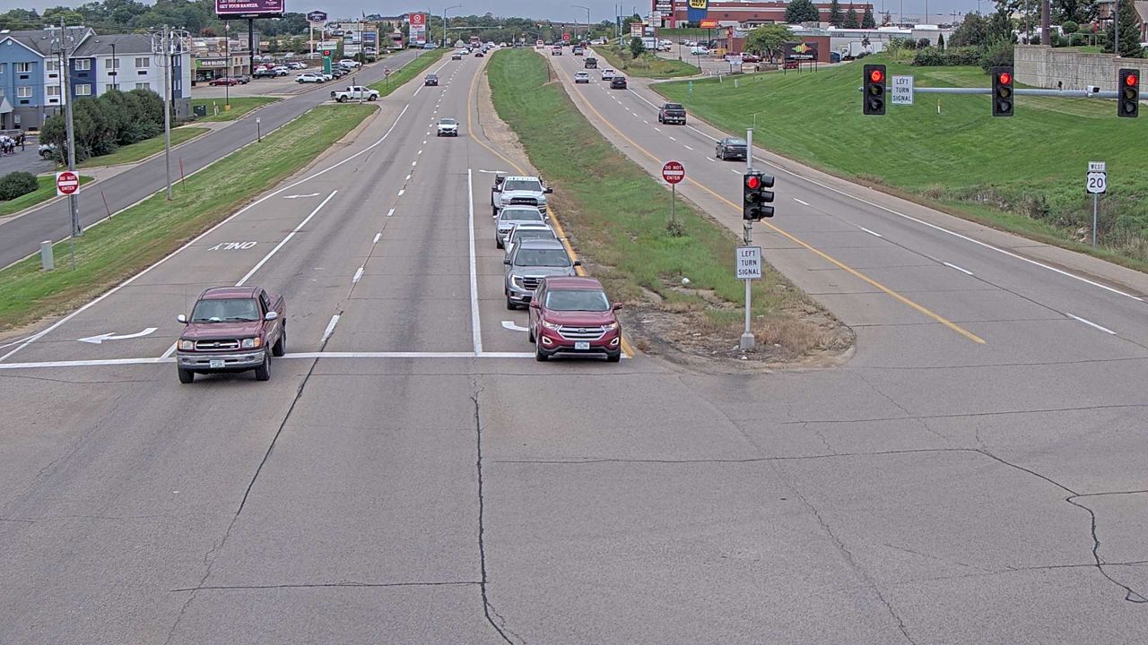 WorkingStill imageUS 20 at MM 297.2 (JFK Rd - West), Dubuque
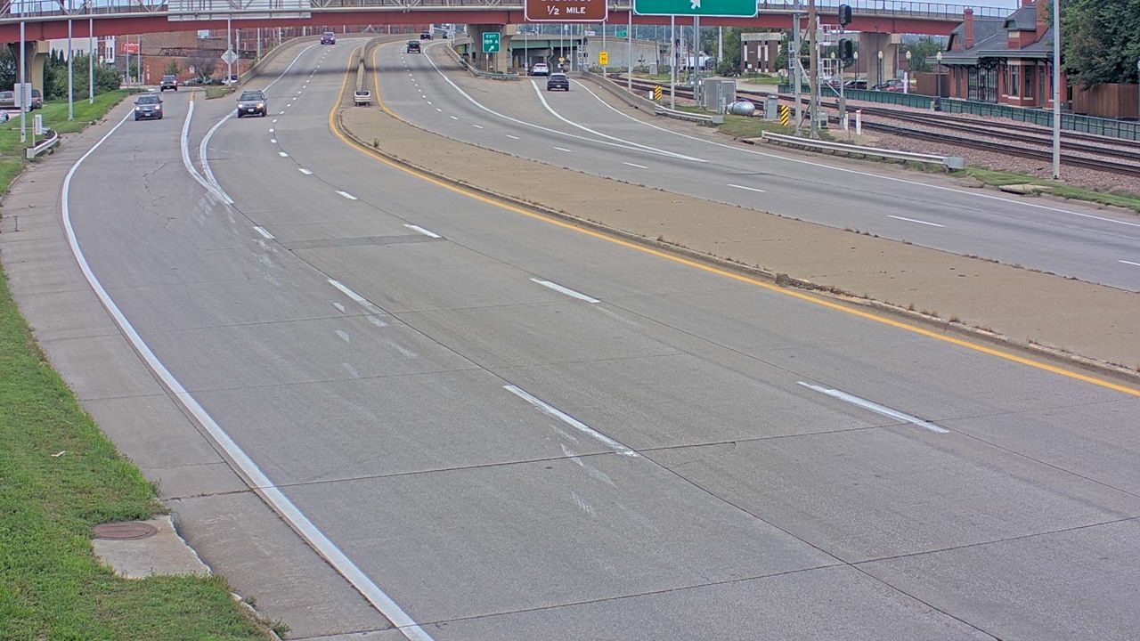 Not checked yetStill imageUS 61 at MM 190.4 (1st St - North), Dubuque
 Not checked yetStill imageUS 61 at MM 191 (9th St - South), Dubuque
 Not checked yetStill imageUS 61 at MM 191 (9th St - North), Dubuque
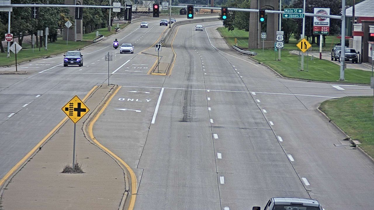 Not checked yetStill imageUS 61 at MM 190.3 (Locust Conn - South), Dubuque
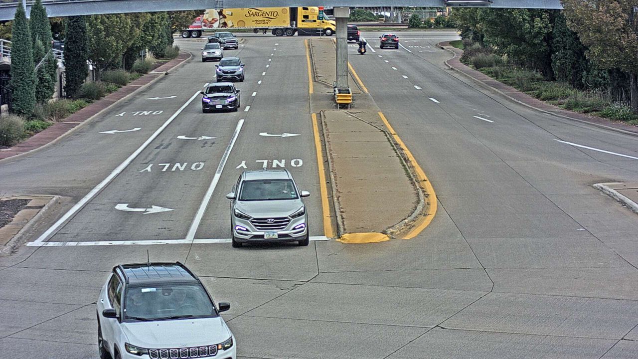 Not checked yetStill imageLocust St at Locust Conn - East (26), Dubuque
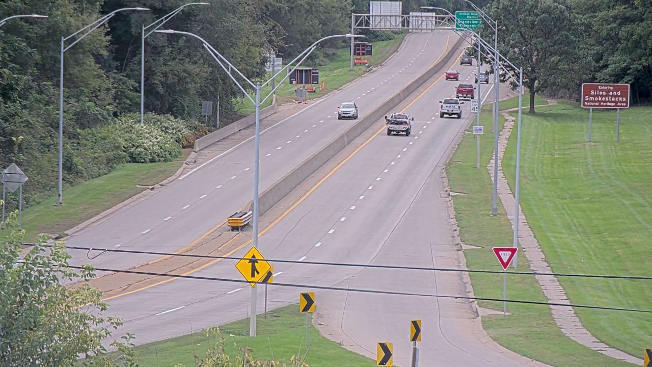 Not checked yetStill imageUS 20 at MM 299.8 (Locust St - West Zoom), Dubuque
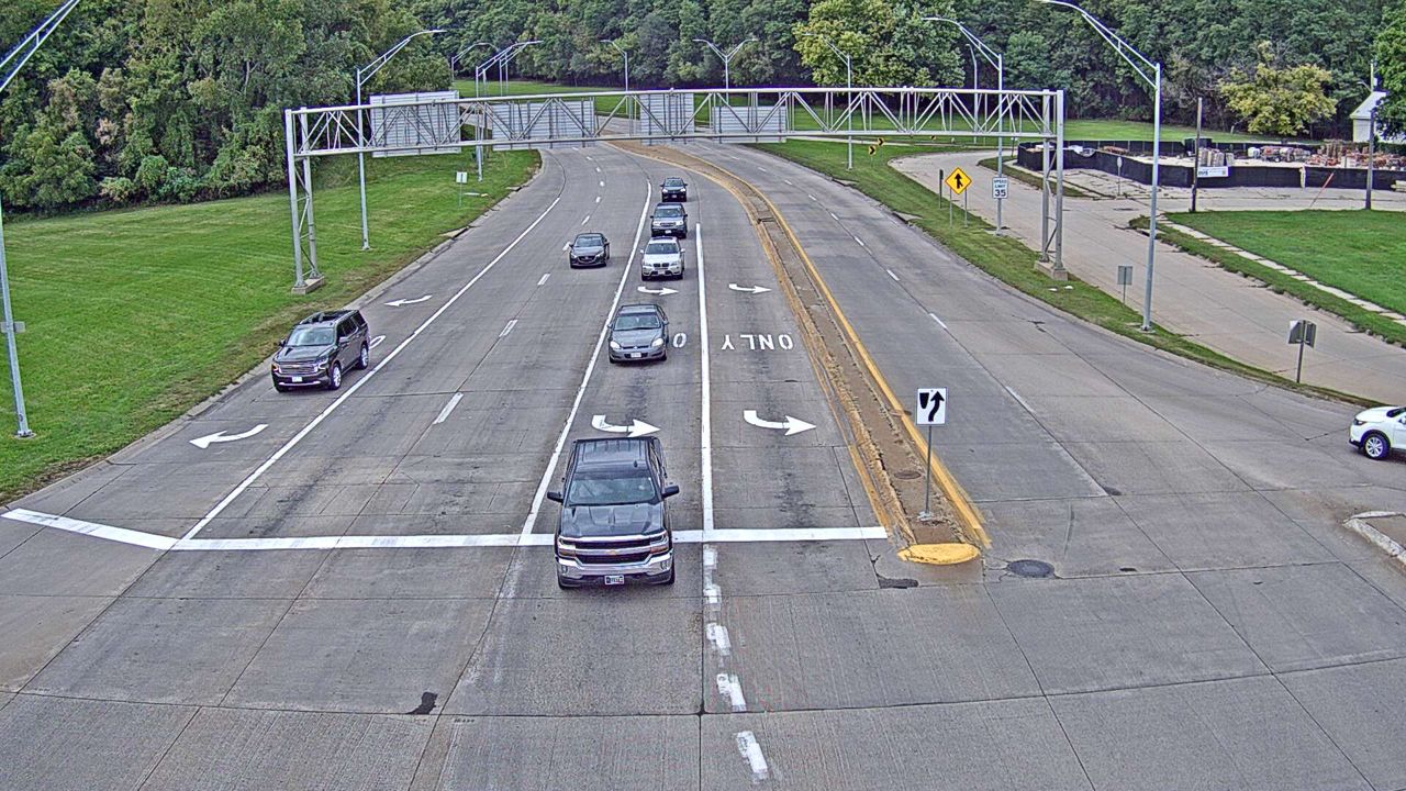 Not checked yetStill imageUS 20 at MM 299.8 (Locust St - West), Dubuque
 Not checked yetStill imageUS 20 at MM 299.8 (Locust St - East), Dubuque
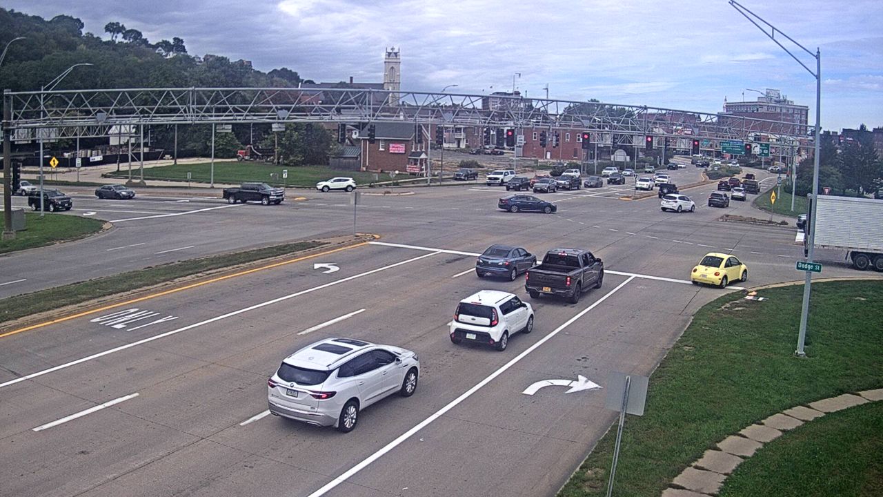 Not checked yetStill imageUS 20 at MM 299.8 (Locust St - North), Dubuque
 Not checked yetStill imageUS 20 at MM 300.1 (W Mississippi River Bridge - West), Dubuque
 Not checked yetStill imageUS 20 at MM 300.1 (W Mississippi River Bridge - East), Dubuque
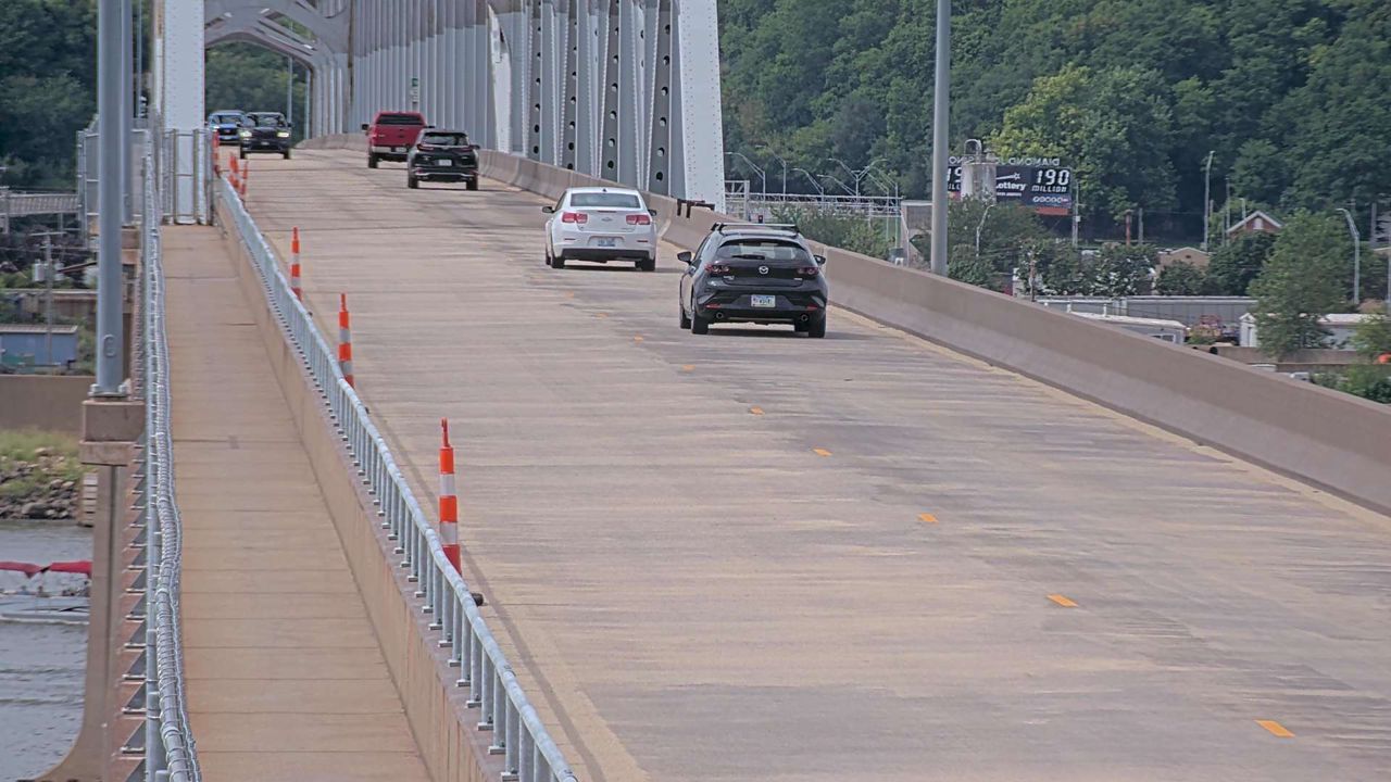 Not checked yetStill imageUS 20 at MM 300.3 (E Mississippi River Bridge - West), Dubuque
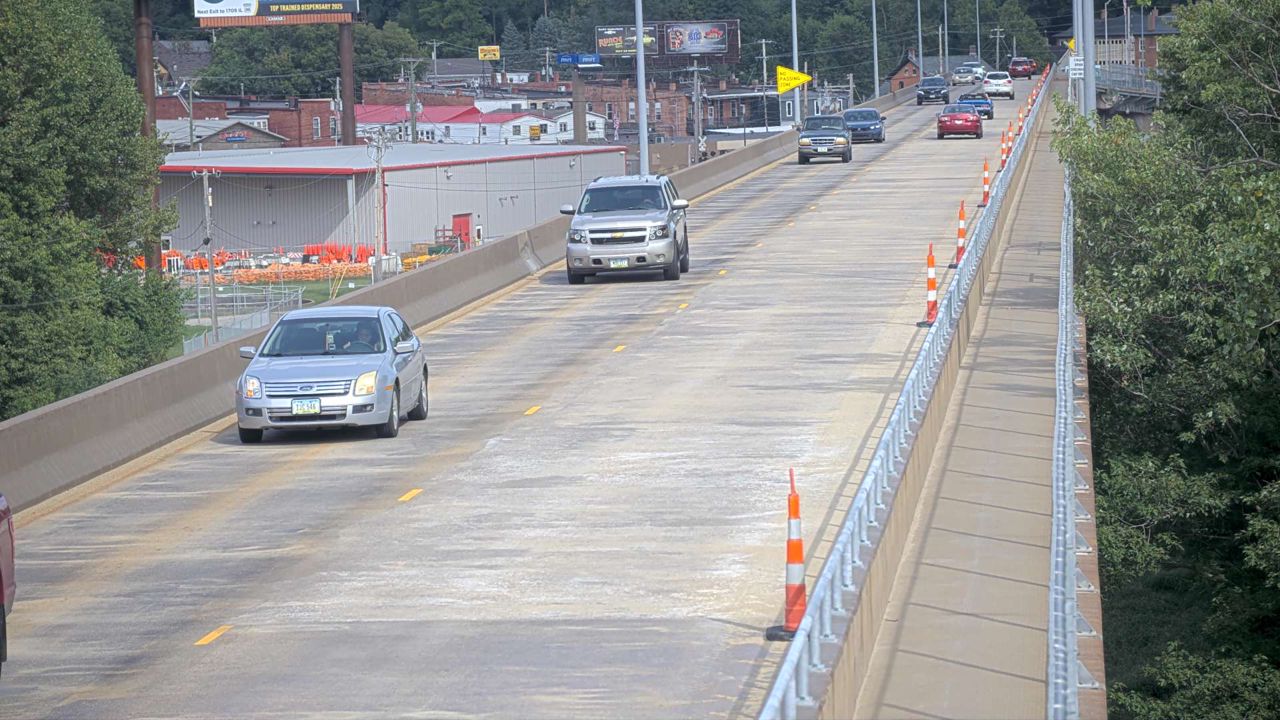 Not checked yetStill imageUS 20 at MM 300.3 (E Mississippi River Bridge - East), Dubuque
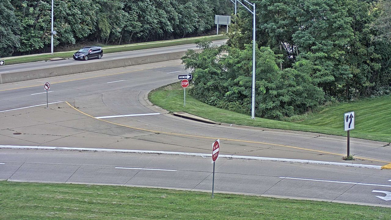 Not checked yetStill imageUS 20 at MM 299.1 (Bryant St - East), Dubuque
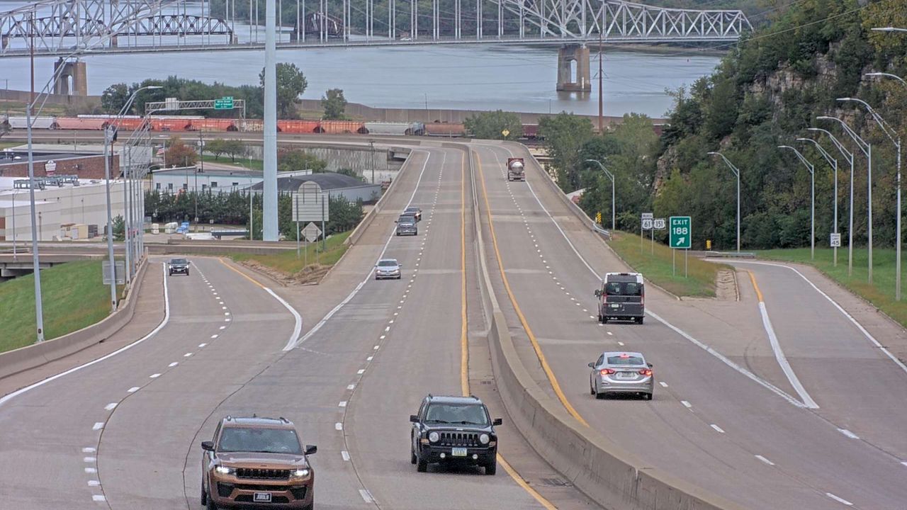 Not checked yetStill imageUS 61 at MM 189.2 (Grandview Truss - South), Dubuque
 Not checked yetStill imageUS 61 at MM 192.4 (Mississippi River Bridge - East), Dubuque
 Not checked yetStill imageUS 61 at MM 192.4 (Mississippi River Bridge - West), Dubuque
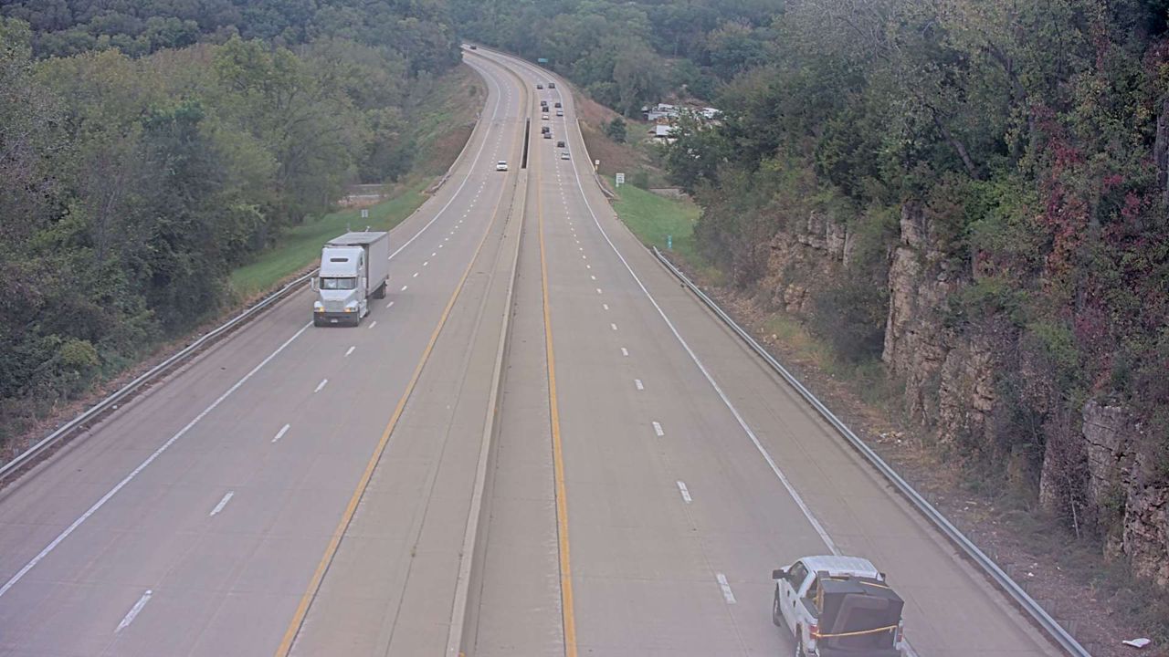 Not checked yetStill imageUS 20 at MM 299.2 (Catfish Creek DMS - North), Dubuque
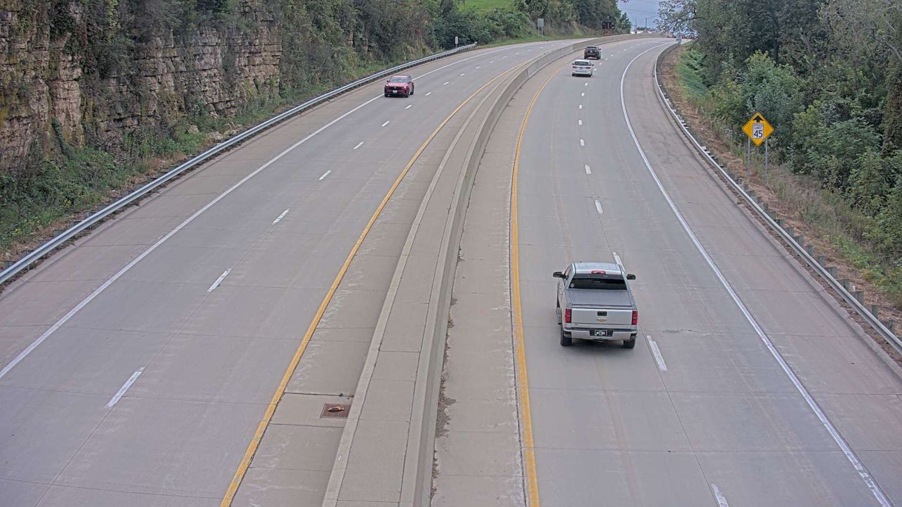 Not checked yetStill imageUS 61 at MM 188.1 (Catfish Creek DMS - South), Dubuque
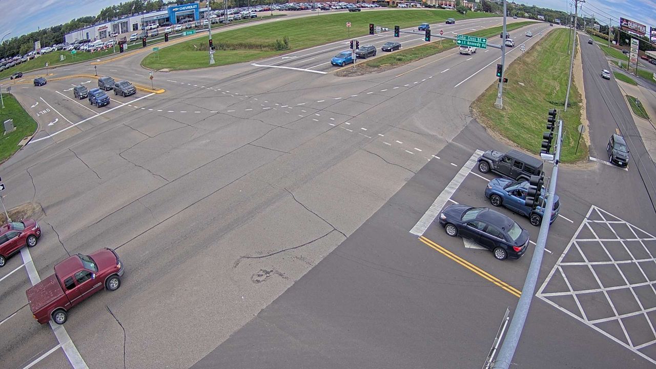 Not checked yetStill imageUS 20 at MM 297.2 (JFK Rd), Dubuque
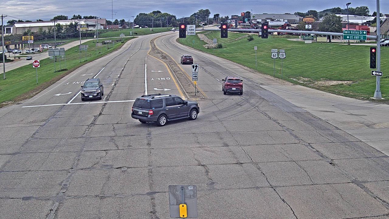 Not checked yetStill imageUS 61 at MM 187.7 (Twin Valley Dr - South), Dubuque
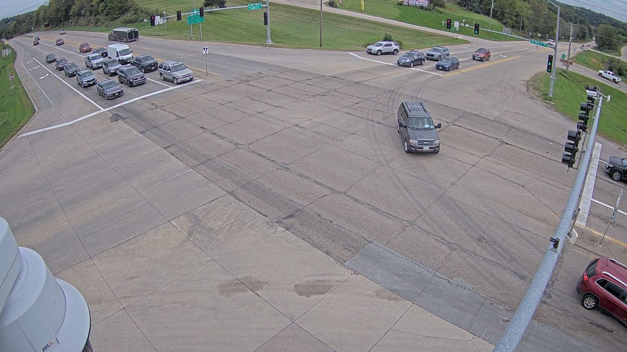 Not checked yetStill imageUS 61 at MM 187.6 (Twin Valley Dr), Dubuque
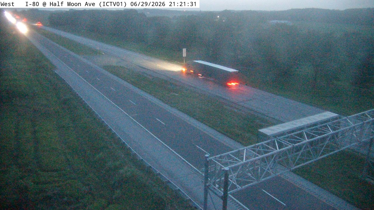 Not checked yetStill imageIA 3 at MM 322.9 (NW Arterial - North), Dubuque
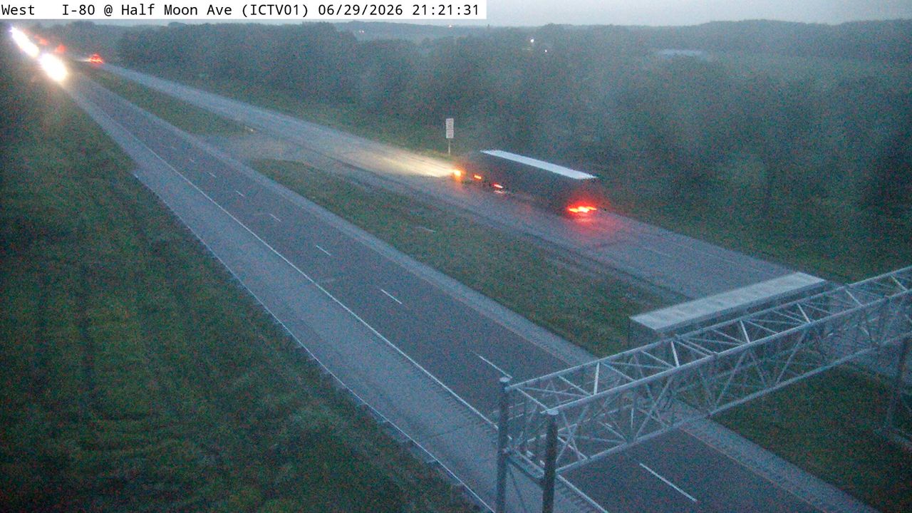 Not checked yetStill imageIA 3 at MM 322.9 (NW Arterial - North Zoom), Dubuque
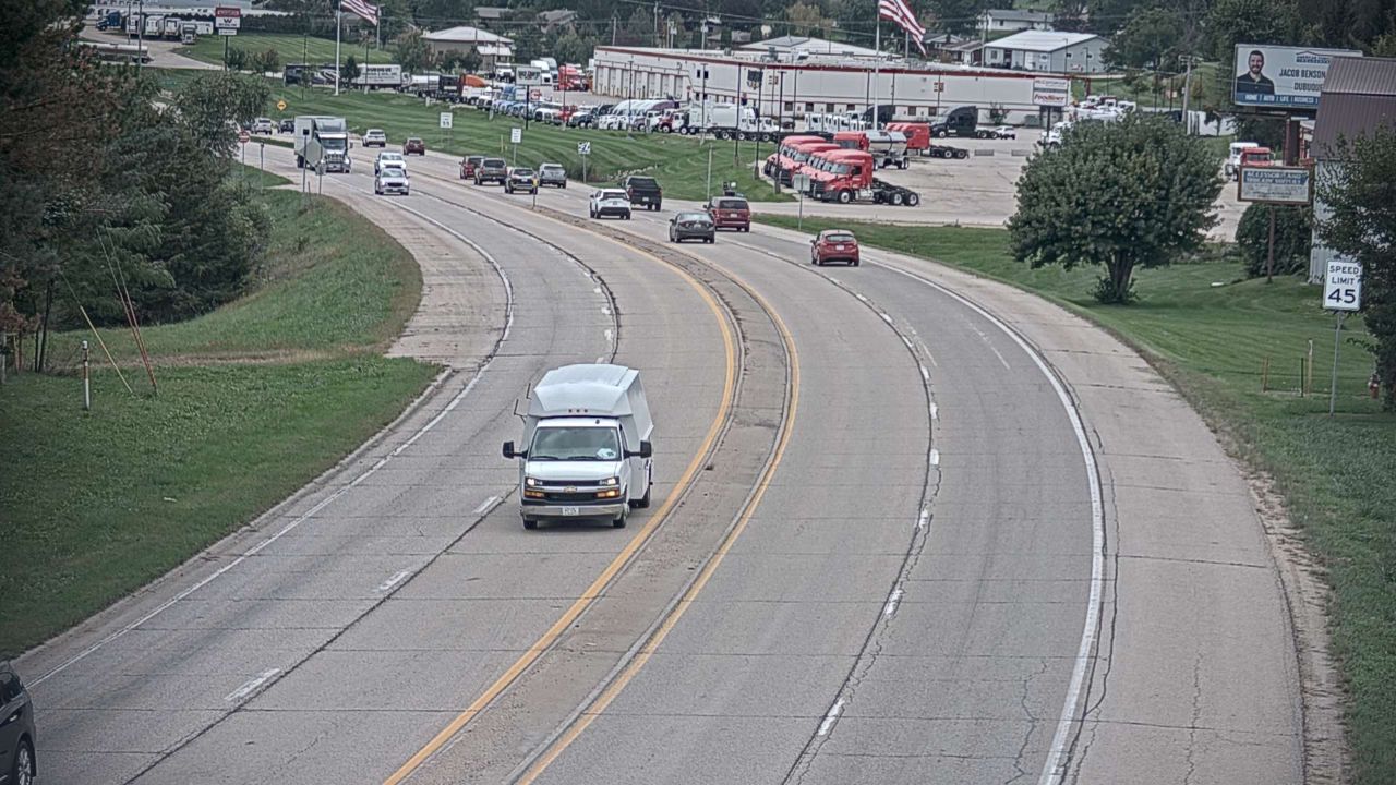 Not checked yetStill imageUS 61 at MM 187.6 (Maquoketa Dr - South), Dubuque
 Not checked yetStill imageUS 20 MM 316 at Dubuque
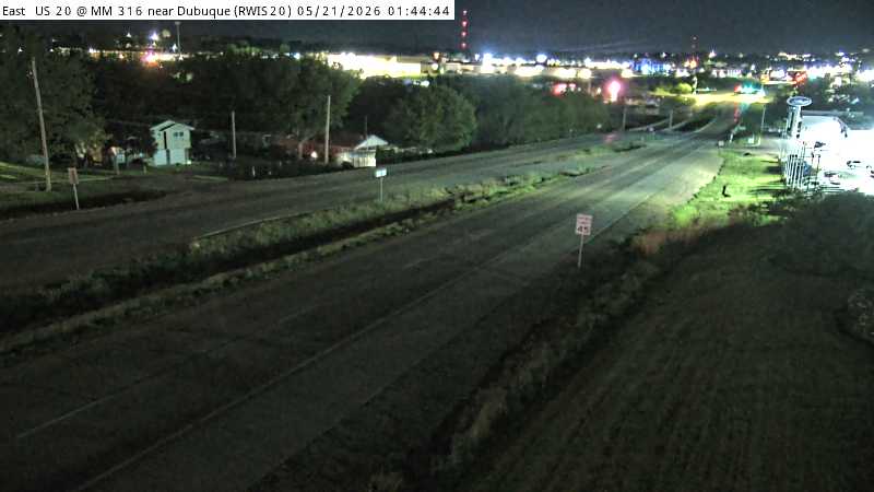 Not checked yetStill imageUS 20 MM 316 at Dubuque
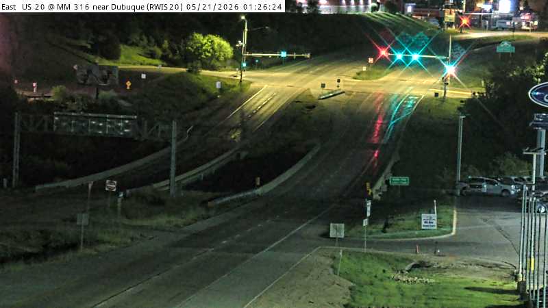 Not checked yetStill imageUS 20 MM 316 at Dubuque, view 2
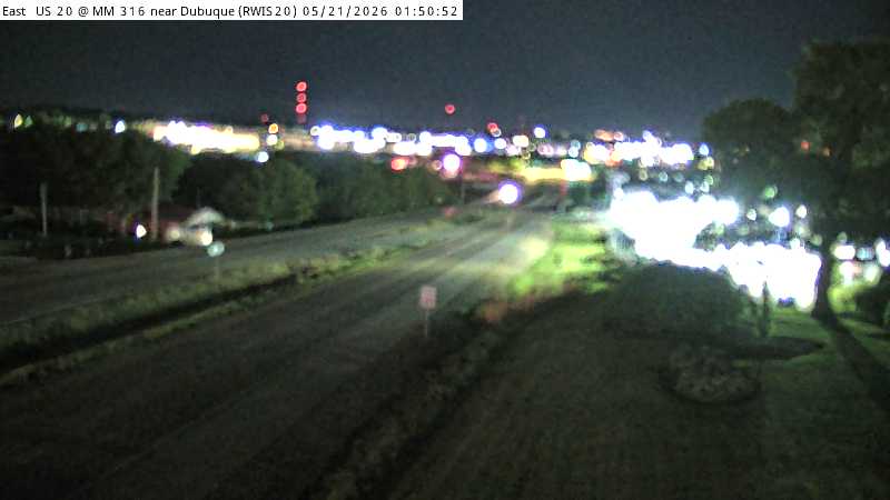 Not checked yetStill imageUS 20 MM 316 at Dubuque, view 3
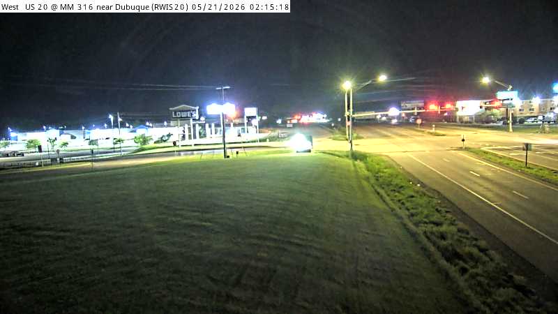 Not checked yetStill imageUS 20 MM 316 at Dubuque, view 4
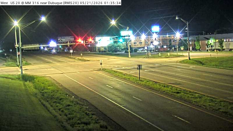 Not checked yetStill imageUS 20 MM 316 at Dubuque, view 5
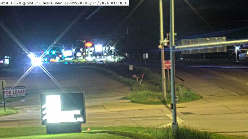 Not checked yetStill imageUS 20 MM 316 at Dubuque, view 6
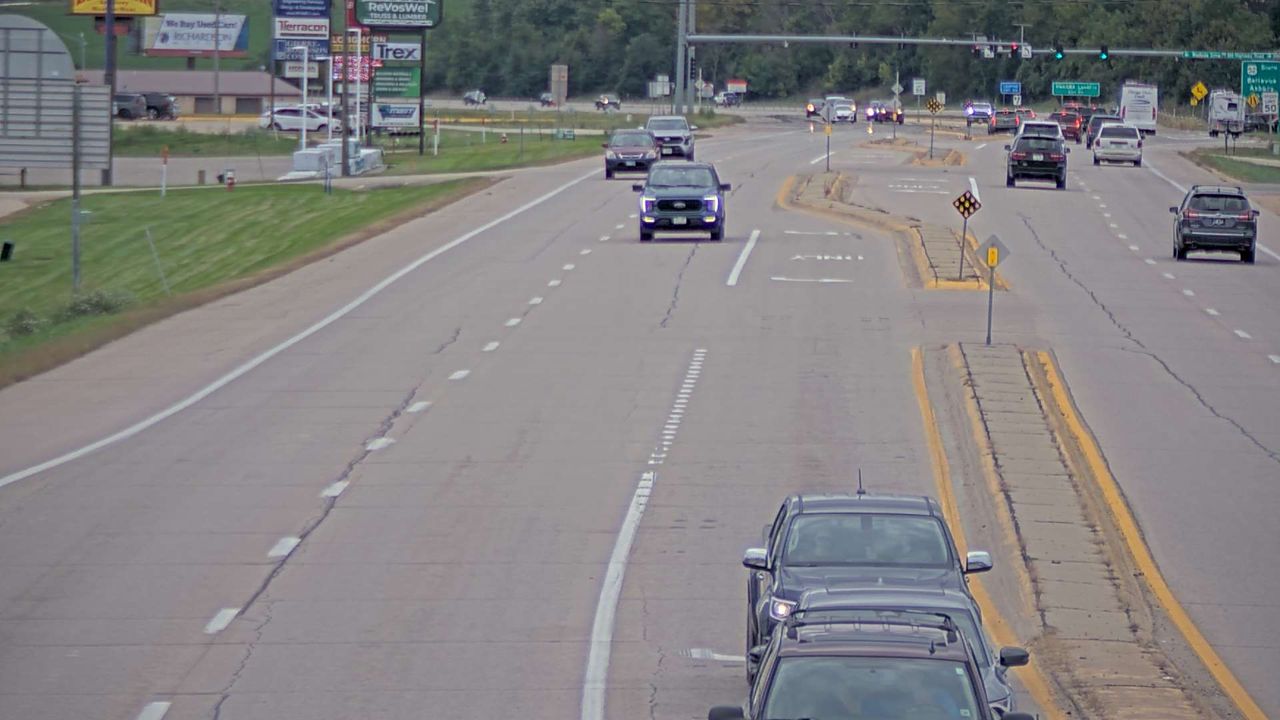 Not checked yetStill imageUS 20 at MM 295.9 (NW Arterial - West Zoom), Dubuque
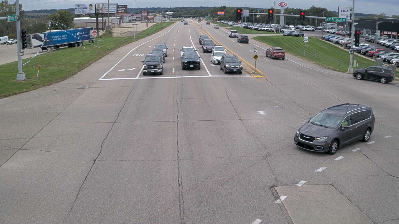 Not checked yetStill imageUS 20 at MM 295.9 (NW Arterial - West), Dubuque
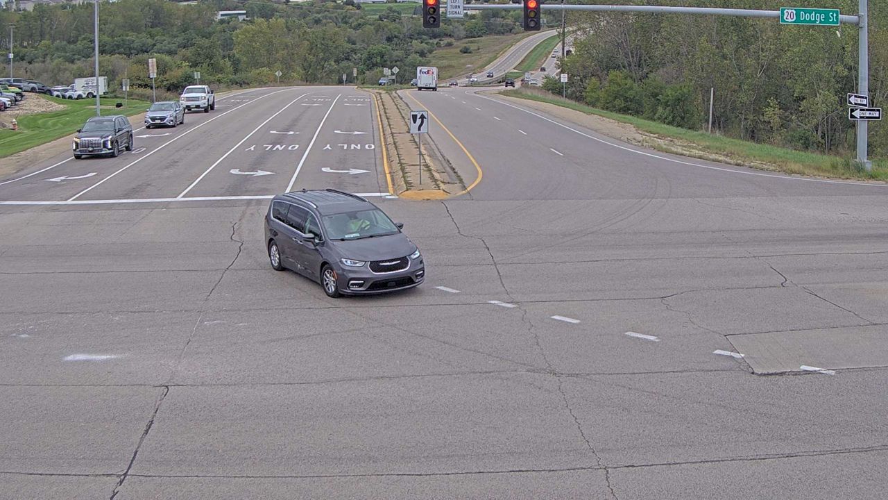 Not checked yetStill imageUS 20 at MM 295.9 (NW Arterial - North), Dubuque
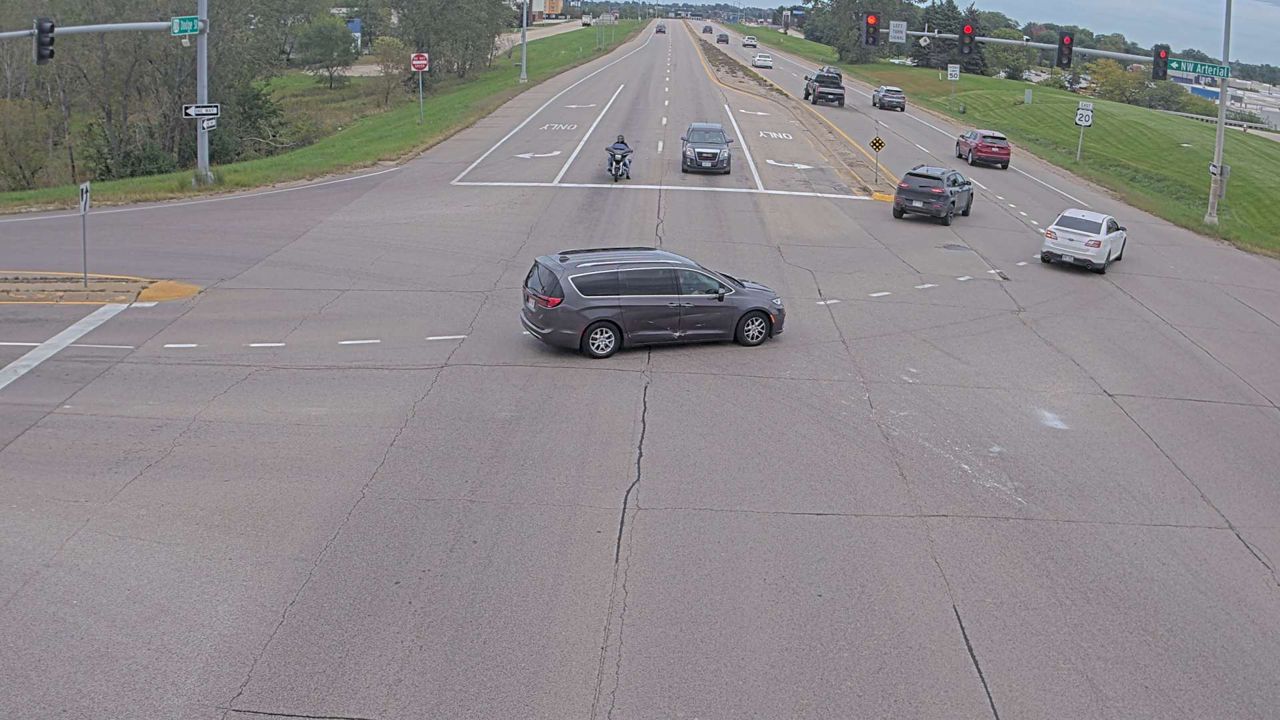 Not checked yetStill imageUS 20 at MM 295.9 (NW Arterial - East), Dubuque
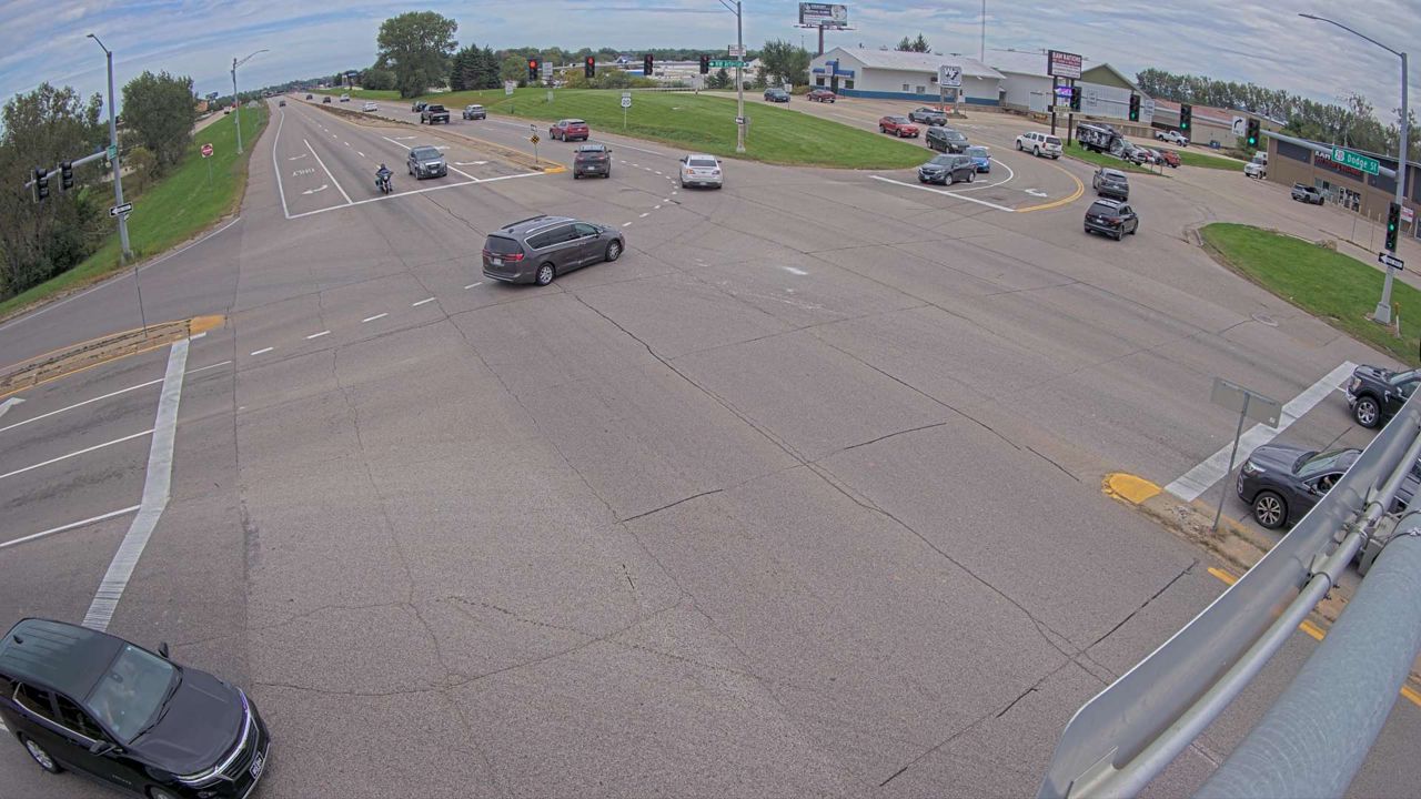 Not checked yetStill imageUS 20 at MM 295.9 (NW Arterial - East Wide Angle), Dubuque
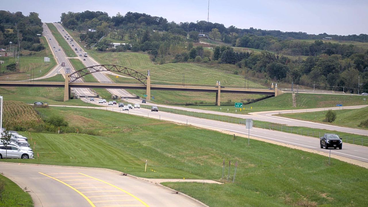 Not checked yetStill imageUS 20 at MM 295 (Menards Hill - South), Dubuque
 Not checked yetStill imageUS 20 at MM 294.3 (SW Arterial Bridge - East), Dubuque
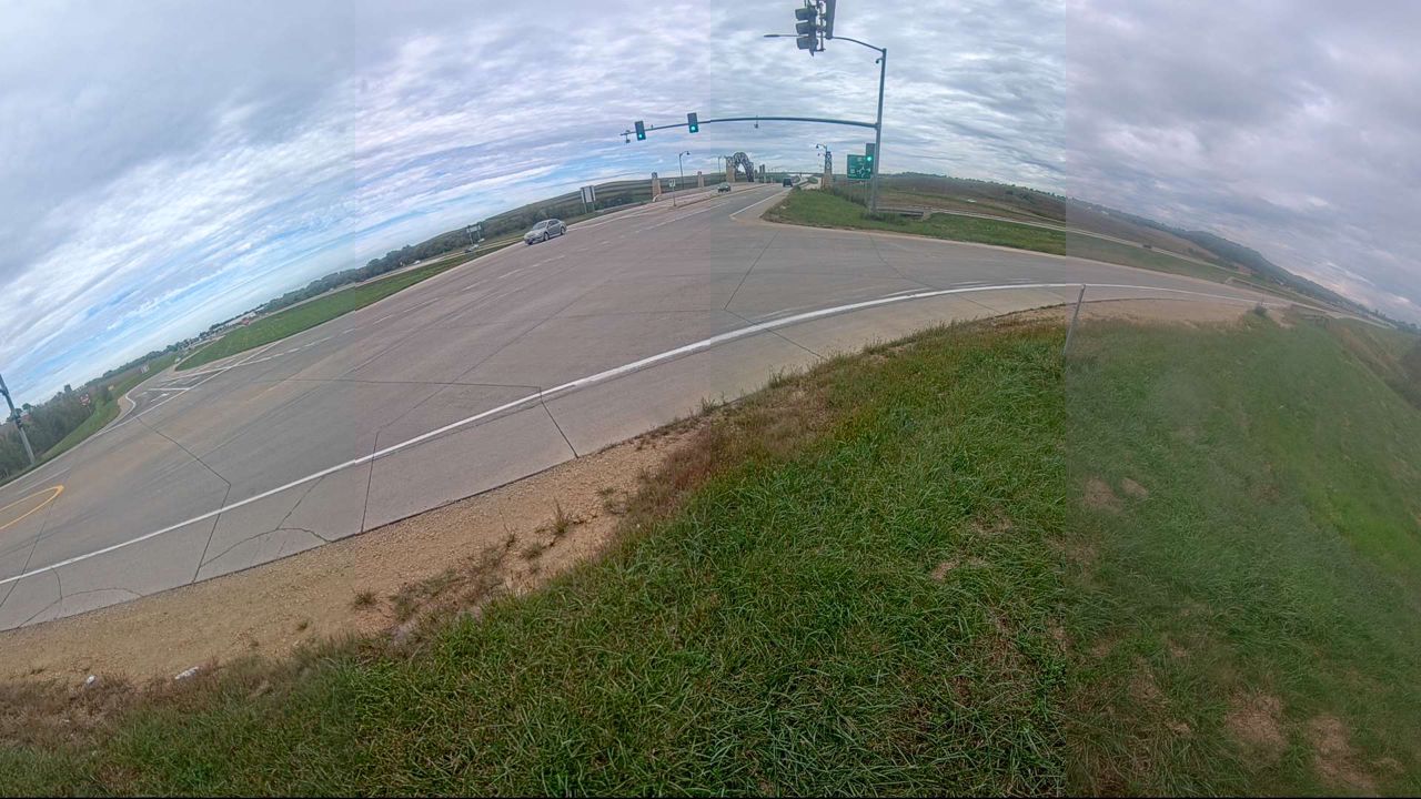 Not checked yetStill imageUS 20 at MM 294.3 (SW Arterial - EB Exit Ramp - West), Dubuque
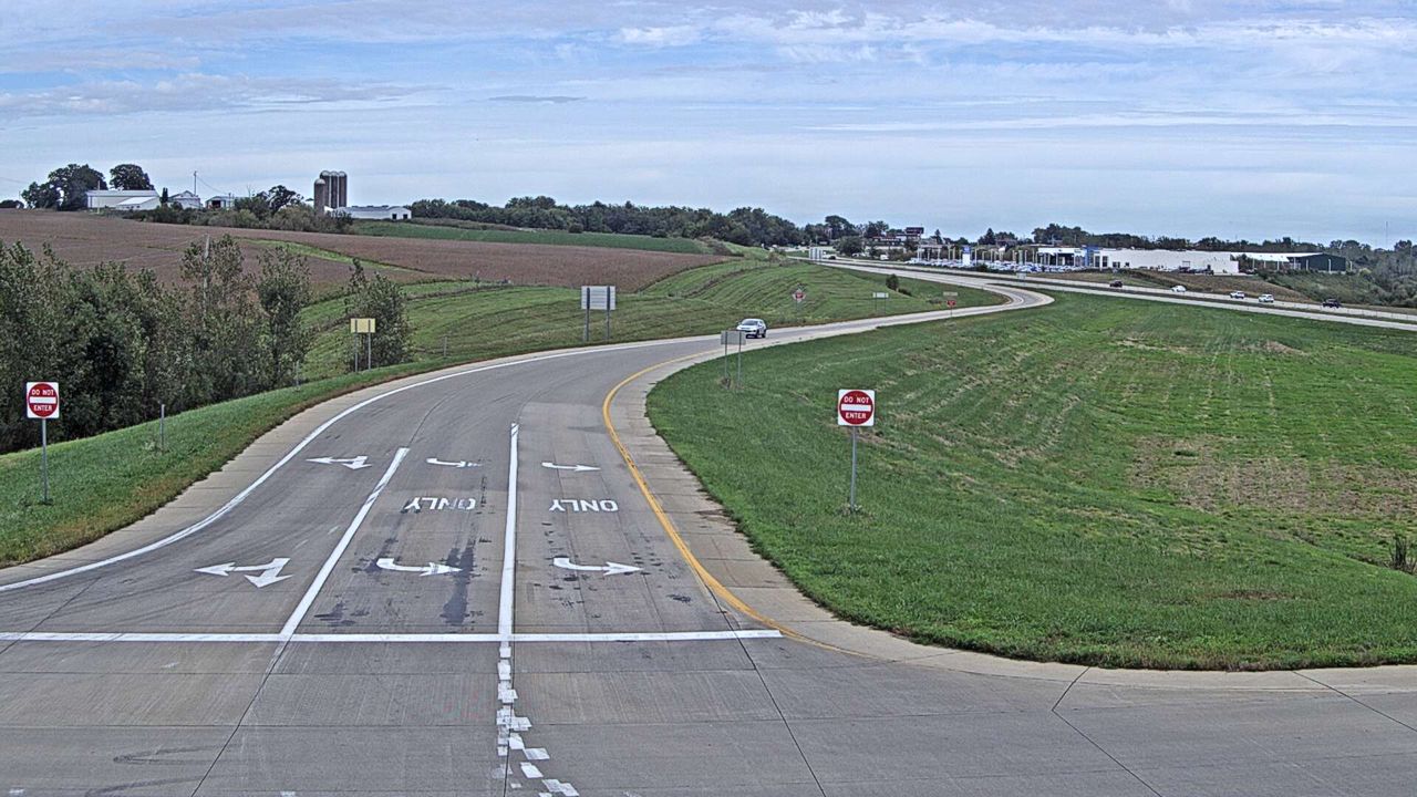 Not checked yetStill imageUS 20 at MM 294.3 (SW Arterial West Ramp Terminal - East), Dubuque
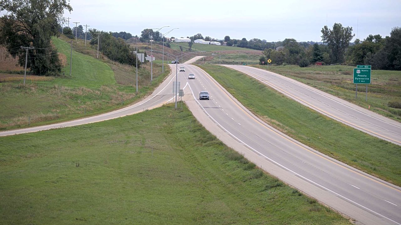 Not checked yetStill imageUS 151 at MM 94.4 (US 61 - North), Dubuque
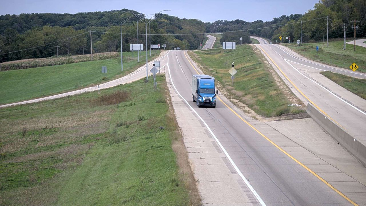 Not checked yetStill imageUS 151 at MM 94.4 (US 61 - West), Dubuque
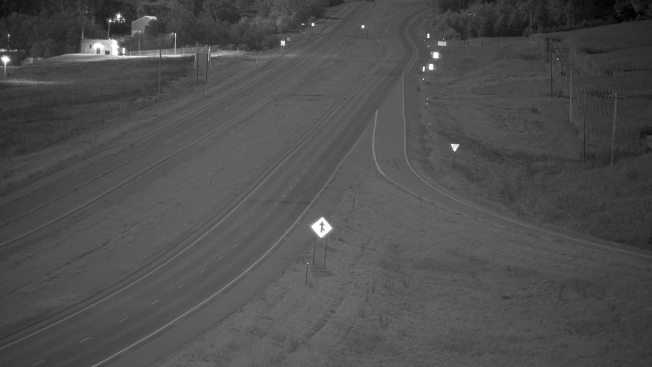 Not checked yetStill imageUS 151 at MM 94.4 (US 61 - South), Dubuque
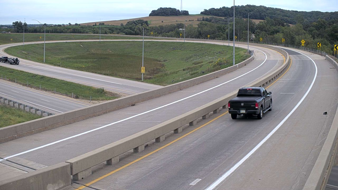 Not checked yetStill imageUS 151 at MM 94.4 (US 61 - East), Dubuque
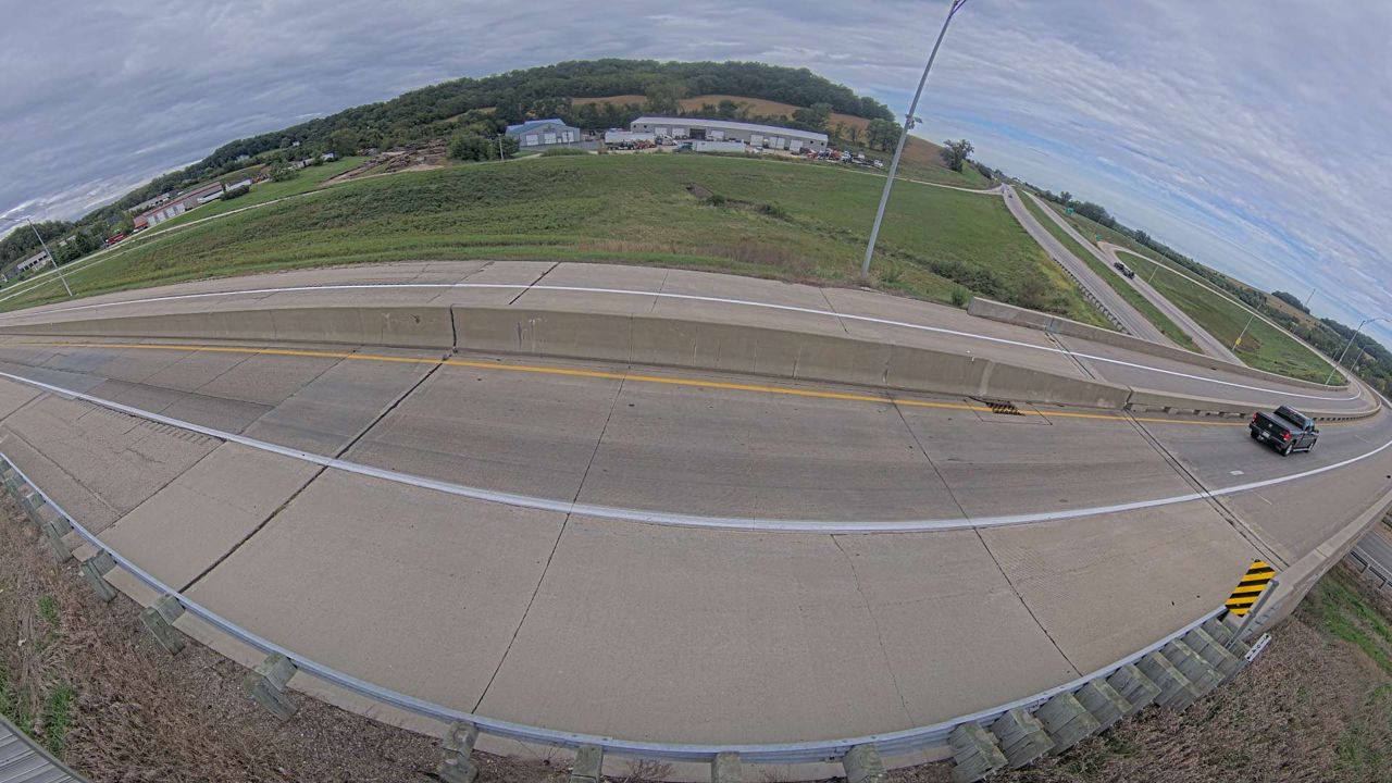 Not checked yetStill imageUS 151 at MM 94.4 (US 61 - North Wide Angle), Dubuque
 Not checked yetStill imageUS 20 at X49 near Dyersville (62)
No live video among these cameras. Turn off "Live video only" to see them all.
Best cams to watch
- US 20 at MM 297.2 (JFK Rd - West), Dubuque — Still image · every 5 min, working 100 % of the time in the last 30 days.
- US 61 at MM 190.4 (1st St - North), Dubuque — Still image · every 5 min.
- US 61 at MM 191 (9th St - South), Dubuque — Still image · every 5 min.
Dubuque sits on the west bank of the Mississippi River at the point where Iowa, Illinois and Wisconsin meet. It is the oldest city in Iowa, named for Julien Dubuque, a French-Canadian lead miner who settled here in 1788, and it was chartered in 1833. Close to 60,000 people call it home, according to the 2020 count. The city lies in the Driftless Area, a region the glaciers missed, so instead of flat farmland you find steep limestone bluffs, deep valleys and old brick neighborhoods climbing the hills. The Fenelon Place Elevator, a short funicular railway built in 1893, carries riders up the bluff for a view across the river into two other states.
Two bridges link Dubuque to its neighbors. The Julien Dubuque Bridge carries U.S. Route 20 east into Illinois toward Galena, and the Dubuque-Wisconsin Bridge carries U.S. 151 and 61 northeast into Wisconsin. U.S. 52 follows the river north and south.
What the cameras show
The views on this page come from the Iowa Department of Transportation. Some are traffic cameras on the main routes through town, and others are road-weather cameras placed along rural highways to show pavement and visibility. Each view is a snapshot that updates every few minutes. Around Dubuque that means views of highway approaches, interchanges and stretches of road in the surrounding hills, where snow and ice can make the steep grades tricky.
Dubuque runs on Central Time. Winters are cold and snowy, and freezing fog sometimes forms over the river valley on still mornings, so the cameras are worth checking before crossing the hills or the bridges. Spring can bring high water on the Mississippi. In summer and fall, river cruise boats and barge tows pass the city, and October color on the bluffs draws many visitors.
Across the river, the historic lead-mining town of Galena, Illinois, is about half an hour east, and the Mines of Spain recreation area lies just south of the city.
Sources: Dubuque, Iowa - Wikipedia · Fenelon Place Elevator · Iowa 511 - Iowa Department of Transportation.
Nearby places
- Waukegan (620)
- Wheaton (617)
- North Peoria (554)
- Peoria (553)
- Naperville (475)
- Gurnee (386)
- Palatine (354)
- Grayslake (346)
Questions about Dubuque
How many live cameras are there in Dubuque?
LiveLocation lists 48 cameras in and around Dubuque, United States: 0 live video, 48 still images. 1 of them were live or showing a fresh image at the last check.
Who runs the cameras in Dubuque?
All of them come from Iowa DOT (48). Each camera plays straight from the agency or owner that runs it, with credit. Iowa DOT
What can I see on the Dubuque cameras?
The views are traffic and highway (41) and pass and road weather (7). Good ones to start with: US 20 at MM 297.2 (JFK Rd - West), Dubuque. US 20 at MM 297.2 (JFK Rd - West), Dubuque
Can I watch live video from Dubuque?
Not yet: the cameras here send still images that refresh about every 6 minutes. The map can show only live-video cameras nearby. Live video on the map
What time is it in Dubuque, and when is it light?
Dubuque is on America/Chicago time. On October 8 the sun rises at 7:07 AM and sets at 6:32 PM, so still images are clearest between those times. Road cameras show the most traffic in the weekday morning and evening rush hours.
Which places near Dubuque also have cameras?
The nearest are Clinton (51 mi away, 20 cameras), Marion (58 mi away, 46 cameras) and Cedar Rapids (61 mi away, 104 cameras). Clinton Marion Cedar Rapids
How can I see the Dubuque cameras on a map?
The map at the top of this page shows all 48 of them. The live camera radar centers on Dubuque and lists every camera within 5 to 250 miles, nearest first, with filters for live video, traffic, nature and more. Open the radar on Dubuque
Place names and locations: GeoNames, licensed under CC BY 4.0.