Live cameras in Lake Zurich, United States
165 cameras: 0 live video, 165 still images · 165 working now · updated Oct 8, 03:32 UTC
Lake Zurich has 165 live cameras on LiveLocation right now: 0 live video, 165 still images. Good places to start: US 12 at IL 22, looking south, Gilmer at Hawley, looking east, IL 22 at Old Rand, looking east. Local time is 10:32 PM (America/Chicago). Today the sun rises at 6:56 AM and sets at 6:23 PM.
Lake Zurich live cameras
Watch Lake Zurich live webcams: 0 live video, 165 still images. 165 of them were live or fresh at the last check. Lake Zurich is home to about 20,000 people.
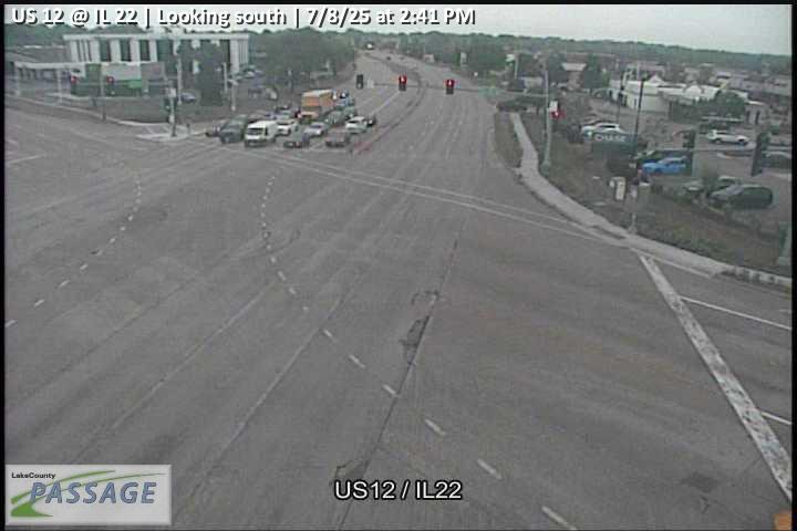 WorkingStill imageUS 12 at IL 22, looking south
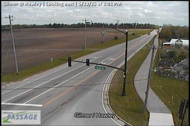 WorkingStill imageGilmer at Hawley, looking east
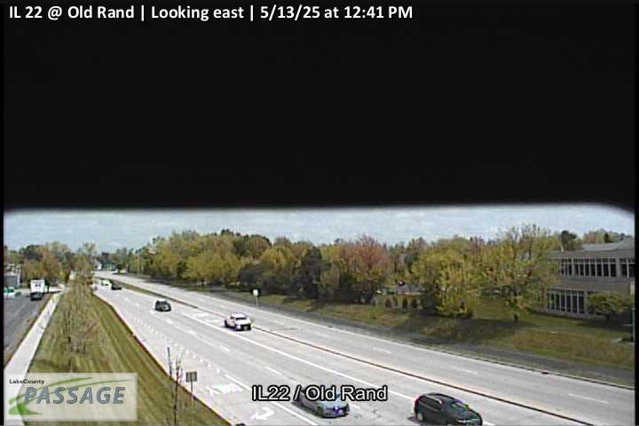 WorkingStill imageIL 22 at Old Rand, looking east
 WorkingStill imageIL 22 at Old Rand, looking north
 WorkingStill imageIL 22 at Old Rand, looking south
 WorkingStill imageIL 22 at Old Rand, looking west
 WorkingStill imageUS 12 at Ela, looking east
 WorkingStill imageUS 12 at Ela, looking north
 WorkingStill imageUS 12 at Ela, looking south
 WorkingStill imageUS 12 at Ela, looking west
 WorkingStill imageUS 12 at IL 22, looking east
 WorkingStill imageUS 12 at IL 22, looking north
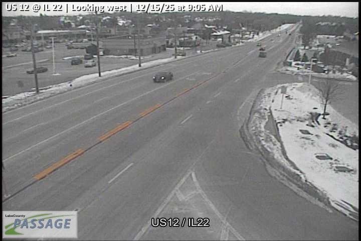 WorkingStill imageUS 12 at IL 22, looking west
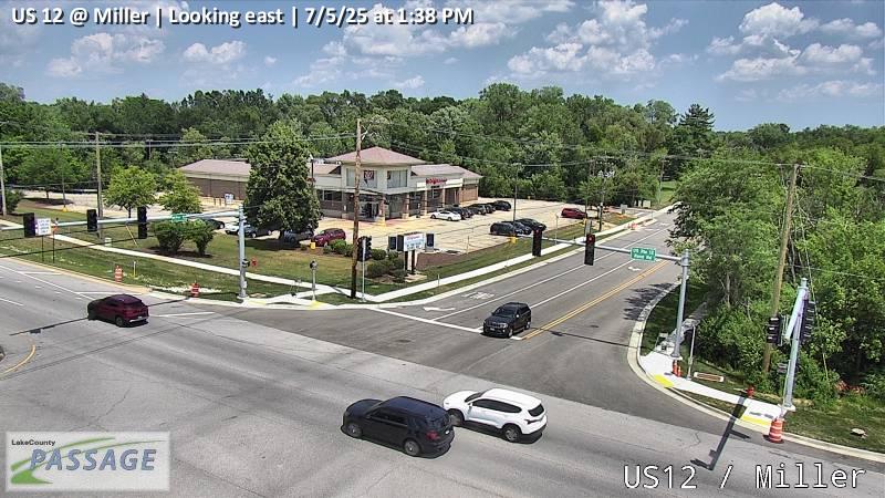 WorkingStill imageUS 12 at Miller, looking east
 WorkingStill imageUS 12 at Miller, looking north
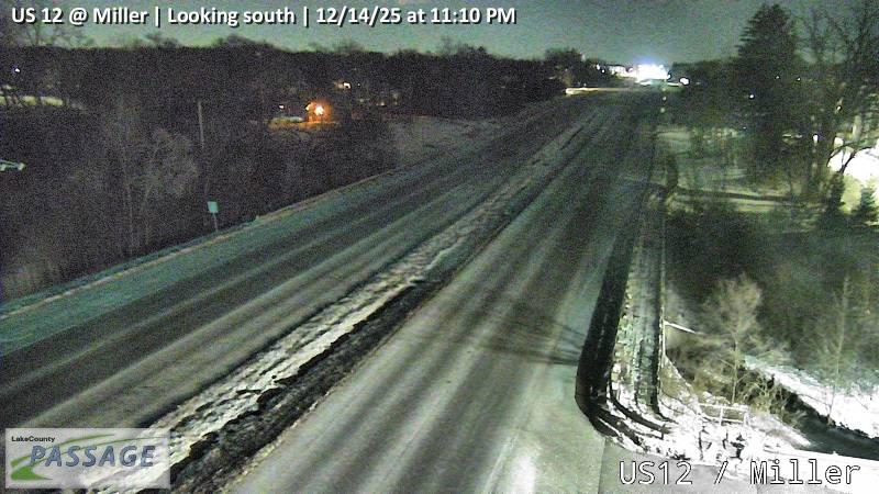 WorkingStill imageUS 12 at Miller, looking south
 WorkingStill imageUS 12 at Miller, looking west
_cctv_East_Leg.jpg) WorkingStill imageEla at Cuba (Wireless), looking east
WorkingStill imageEla at Cuba (Wireless), looking east_cctv_North_Leg.jpg) WorkingStill imageEla at Cuba (Wireless), looking north
WorkingStill imageEla at Cuba (Wireless), looking north_cctv_South_Leg.jpg) WorkingStill imageEla at Cuba (Wireless), looking south
WorkingStill imageEla at Cuba (Wireless), looking south_cctv_West_Leg.jpg) WorkingStill imageEla at Cuba (Wireless), looking west
WorkingStill imageEla at Cuba (Wireless), looking west WorkingStill imageUS 12 at Cuba, looking east
 WorkingStill imageUS 12 at Cuba, looking north
 WorkingStill imageUS 12 at Cuba, looking south
 WorkingStill imageUS 12 at Cuba, looking west
 WorkingStill imageIL 22 at Quentin, looking east
 WorkingStill imageIL 22 at Quentin, looking north
 WorkingStill imageIL 22 at Quentin, looking south
 WorkingStill imageIL 22 at Quentin, looking west
 WorkingStill imageQuentin at Ensell, looking north
 WorkingStill imageQuentin at Ensell, looking south
_cctv_East_Leg.jpg) WorkingStill imageOld McHenry at Abbey Glenn (Wireless), looking east
WorkingStill imageOld McHenry at Abbey Glenn (Wireless), looking east_cctv_West_Leg.jpg) WorkingStill imageOld McHenry at Abbey Glenn (Wireless), looking west
WorkingStill imageOld McHenry at Abbey Glenn (Wireless), looking west WorkingStill imageFairfield at Old McHenry, looking east
 WorkingStill imageFairfield at Old McHenry, looking north
 WorkingStill imageFairfield at Old McHenry, looking west
 WorkingStill imageQuentin at East Cuba, looking east
 WorkingStill imageQuentin at East Cuba, looking north
 WorkingStill imageQuentin at East Cuba, looking south
 WorkingStill imageQuentin at East Cuba, looking west
 WorkingStill imageMidlothian at Old McHenry, looking east
 WorkingStill imageMidlothian at Old McHenry, looking north
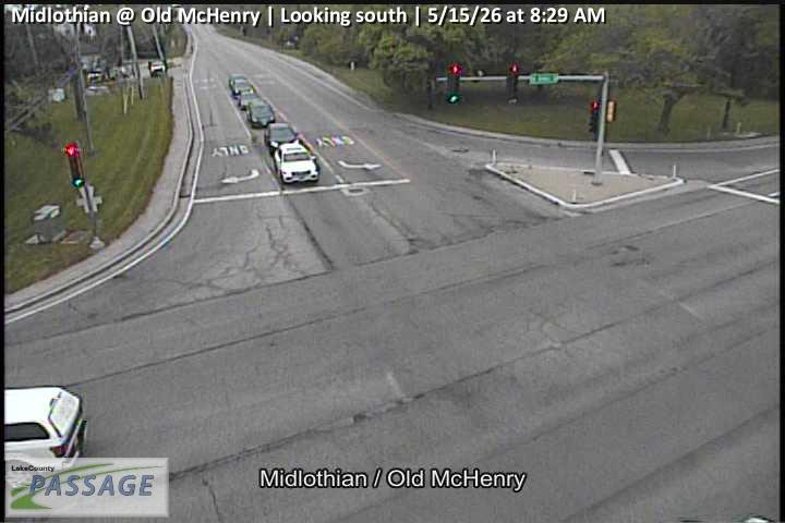 WorkingStill imageMidlothian at Old McHenry, looking south
 WorkingStill imageMidlothian at Old McHenry, looking west
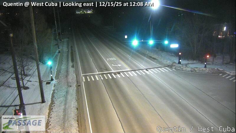 WorkingStill imageQuentin at West Cuba, looking east
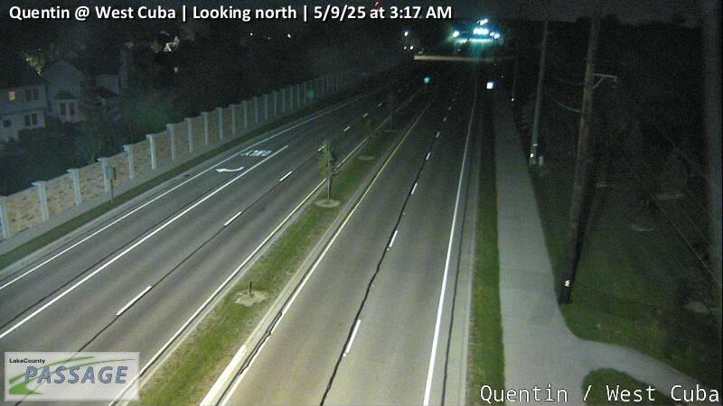 WorkingStill imageQuentin at West Cuba, looking north
 WorkingStill imageQuentin at West Cuba, looking south
 WorkingStill imageQuentin at West Cuba, looking west
 WorkingStill imageOld McHenry at Quentin, looking east
 WorkingStill imageOld McHenry at Quentin, looking south
 WorkingStill imageOld McHenry at Quentin, looking west
_cctv_East_Leg.jpg) WorkingStill imageEla at Long Grove (Wireless), looking east
WorkingStill imageEla at Long Grove (Wireless), looking east_cctv_North_Leg.jpg) WorkingStill imageEla at Long Grove (Wireless), looking north
WorkingStill imageEla at Long Grove (Wireless), looking north_cctv_South_Leg.jpg) WorkingStill imageEla at Long Grove (Wireless), looking south
WorkingStill imageEla at Long Grove (Wireless), looking south WorkingStill imageQuentin at White Pine, looking north
 WorkingStill imageQuentin at White Pine, looking south
_cctv_East_Leg.jpg) WorkingStill imageIL 59 at Cuba (Wireless), looking east
WorkingStill imageIL 59 at Cuba (Wireless), looking east_cctv_North_Leg.jpg) WorkingStill imageIL 59 at Cuba (Wireless), looking north
WorkingStill imageIL 59 at Cuba (Wireless), looking north_cctv_South_Leg.jpg) WorkingStill imageIL 59 at Cuba (Wireless), looking south
WorkingStill imageIL 59 at Cuba (Wireless), looking south_cctv_West_Leg.jpg) WorkingStill imageIL 59 at Cuba (Wireless), looking west
WorkingStill imageIL 59 at Cuba (Wireless), looking west WorkingStill imageUS 12 at Quentin, looking east
 WorkingStill imageUS 12 at Quentin, looking north
 WorkingStill imageUS 12 at Quentin, looking south
 WorkingStill imageUS 12 at Quentin, looking west
_cctv_East_Leg.jpg) WorkingStill imageIL 59 at Miller (Cell), looking east
WorkingStill imageIL 59 at Miller (Cell), looking east_cctv_North_Leg.jpg) WorkingStill imageIL 59 at Miller (Cell), looking north
WorkingStill imageIL 59 at Miller (Cell), looking north_cctv_South_Leg.jpg) WorkingStill imageIL 59 at Miller (Cell), looking south
WorkingStill imageIL 59 at Miller (Cell), looking south_cctv_West_Leg.jpg) WorkingStill imageIL 59 at Miller (Cell), looking west
WorkingStill imageIL 59 at Miller (Cell), looking west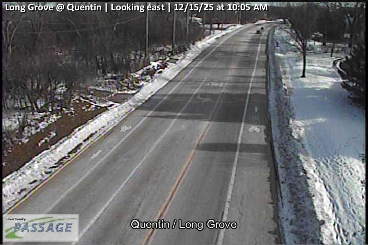 WorkingStill imageLong Grove at Quentin, looking east
 WorkingStill imageLong Grove at Quentin, looking north
 WorkingStill imageLong Grove at Quentin, looking south
 WorkingStill imageLong Grove at Quentin, looking west
 WorkingStill imageUS 12 at Old McHenry, looking east
 WorkingStill imageUS 12 at Old McHenry, looking north
 WorkingStill imageUS 12 at Old McHenry, looking south
_cctv_East_Leg.jpg) WorkingStill imageLake Cook at Ela (Wireless), looking east
WorkingStill imageLake Cook at Ela (Wireless), looking east_cctv_North_Leg.jpg) WorkingStill imageLake Cook at Ela (Wireless), looking north
WorkingStill imageLake Cook at Ela (Wireless), looking north_cctv_South_Leg.jpg) WorkingStill imageLake Cook at Ela (Wireless), looking south
WorkingStill imageLake Cook at Ela (Wireless), looking south_cctv_West_Leg.jpg) WorkingStill imageLake Cook at Ela (Wireless), looking west
WorkingStill imageLake Cook at Ela (Wireless), looking west WorkingStill imageUS 12 at Long Grove, looking east
 WorkingStill imageUS 12 at Long Grove, looking north
 WorkingStill imageUS 12 at Long Grove, looking south
 WorkingStill imageUS 12 at Long Grove, looking west
 WorkingStill imageQuentin at Field, Rue Royale, looking north
 WorkingStill imageQuentin at Field, Rue Royale, looking south
 WorkingStill imageLake Cook at Quentin, looking east
 WorkingStill imageLake Cook at Quentin, looking north
 WorkingStill imageLake Cook at Quentin, looking south
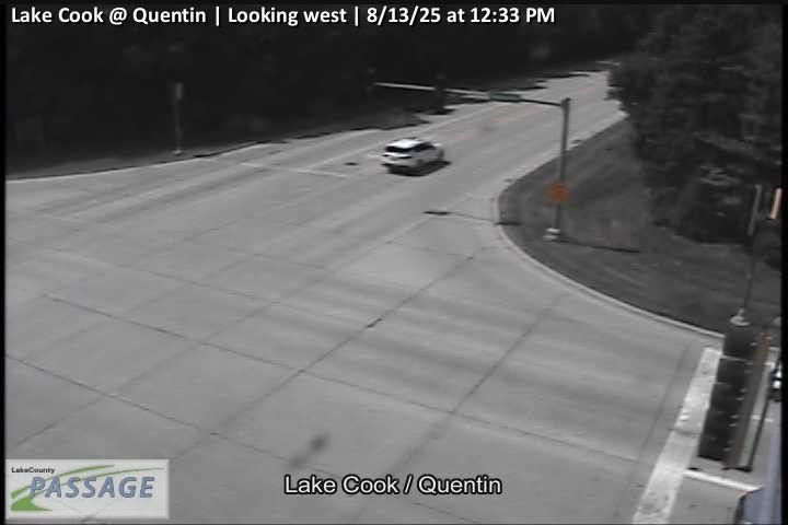 WorkingStill imageLake Cook at Quentin, looking west
_cctv_North_Leg.jpg) WorkingStill imageIL 59 at Kelsey (Cell), looking north
WorkingStill imageIL 59 at Kelsey (Cell), looking north_cctv_South_Leg.jpg) WorkingStill imageIL 59 at Kelsey (Cell), looking south
WorkingStill imageIL 59 at Kelsey (Cell), looking south_cctv_West_Leg.jpg) WorkingStill imageIL 59 at Kelsey (Cell), looking west
WorkingStill imageIL 59 at Kelsey (Cell), looking west_cctv_East_Leg.jpg) WorkingStill imageUS 14 at Lake Cook (Cell), looking east
WorkingStill imageUS 14 at Lake Cook (Cell), looking east_cctv_North_Leg.jpg) WorkingStill imageUS 14 at Lake Cook (Cell), looking north
WorkingStill imageUS 14 at Lake Cook (Cell), looking north_cctv_South_Leg.jpg) WorkingStill imageUS 14 at Lake Cook (Cell), looking south
WorkingStill imageUS 14 at Lake Cook (Cell), looking south_cctv_West_Leg.jpg) WorkingStill imageUS 14 at Lake Cook (Cell), looking west
WorkingStill imageUS 14 at Lake Cook (Cell), looking west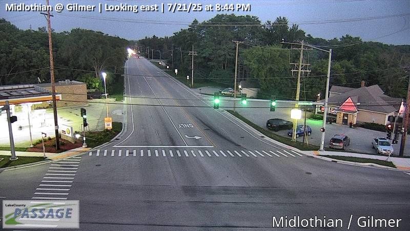 WorkingStill imageMidlothian at Gilmer, looking east
 WorkingStill imageMidlothian at Gilmer, looking north
 WorkingStill imageMidlothian at Gilmer, looking south
 WorkingStill imageMidlothian at Gilmer, looking west
_cctv_East_Leg.jpg) WorkingStill imageIL 59 at Lake Cook (Cell), looking east
WorkingStill imageIL 59 at Lake Cook (Cell), looking east_cctv_North_Leg.jpg) WorkingStill imageIL 59 at Lake Cook (Cell), looking north
WorkingStill imageIL 59 at Lake Cook (Cell), looking north_cctv_South_Leg.jpg) WorkingStill imageIL 59 at Lake Cook (Cell), looking south
WorkingStill imageIL 59 at Lake Cook (Cell), looking south_cctv_West_Leg.jpg) WorkingStill imageIL 59 at Lake Cook (Cell), looking west
WorkingStill imageIL 59 at Lake Cook (Cell), looking west_cctv_East_Leg.jpg) WorkingStill imageUS 14 at Hillside (Wireless), looking east
WorkingStill imageUS 14 at Hillside (Wireless), looking east_cctv_West_Leg.jpg) WorkingStill imageUS 14 at Hillside (Wireless), looking west
WorkingStill imageUS 14 at Hillside (Wireless), looking west_cctv_East_Leg.jpg) WorkingStill imageUS 12 at Old Rand (Wauconda), looking east
WorkingStill imageUS 12 at Old Rand (Wauconda), looking east_cctv_West_Leg.jpg) WorkingStill imageUS 12 at Old Rand (Wauconda), looking west
WorkingStill imageUS 12 at Old Rand (Wauconda), looking west_cctv_East_Leg.jpg) WorkingStill imageUS 14 at Hart (Cell), looking east
WorkingStill imageUS 14 at Hart (Cell), looking east_cctv_North_Leg.jpg) WorkingStill imageUS 14 at Hart (Cell), looking north
WorkingStill imageUS 14 at Hart (Cell), looking north_cctv_South_Leg.jpg) WorkingStill imageUS 14 at Hart (Cell), looking south
WorkingStill imageUS 14 at Hart (Cell), looking south_cctv_West_Leg.jpg) WorkingStill imageUS 14 at Hart (Cell), looking west
WorkingStill imageUS 14 at Hart (Cell), looking west_cctv_East_Leg.jpg) WorkingStill imageIL 59 at Roberts (Cell), looking east
WorkingStill imageIL 59 at Roberts (Cell), looking east_cctv_North_Leg.jpg) WorkingStill imageIL 59 at Roberts (Cell), looking north
WorkingStill imageIL 59 at Roberts (Cell), looking north_cctv_South_Leg.jpg) WorkingStill imageIL 59 at Roberts (Cell), looking south
WorkingStill imageIL 59 at Roberts (Cell), looking south_cctv_West_Leg.jpg) WorkingStill imageIL 59 at Roberts (Cell), looking west
WorkingStill imageIL 59 at Roberts (Cell), looking west WorkingStill imageGilmer at Schwerman, looking north
 WorkingStill imageGilmer at Schwerman, looking south
 WorkingStill imageGilmer at Schwerman, looking west
_cctv_North_Leg.jpg) WorkingStill imageIL 53 at Long Grove (Cell), looking north
WorkingStill imageIL 53 at Long Grove (Cell), looking north_cctv_South_Leg.jpg) WorkingStill imageIL 53 at Long Grove (Cell), looking south
WorkingStill imageIL 53 at Long Grove (Cell), looking south_cctv_West_Leg.jpg) WorkingStill imageIL 53 at Long Grove (Cell), looking west
WorkingStill imageIL 53 at Long Grove (Cell), looking west_cctv_North_Leg.jpg) WorkingStill imageHart at Barrington HS (Cell), looking north
WorkingStill imageHart at Barrington HS (Cell), looking north_cctv_South_Leg.jpg) WorkingStill imageHart at Barrington HS (Cell), looking south
WorkingStill imageHart at Barrington HS (Cell), looking south_cctv_East_Leg.jpg) WorkingStill imageKelsey at River (Cell), looking east
WorkingStill imageKelsey at River (Cell), looking east_cctv_North_Leg.jpg) WorkingStill imageKelsey at River (Cell), looking north
WorkingStill imageKelsey at River (Cell), looking north_cctv_South_Leg.jpg) WorkingStill imageKelsey at River (Cell), looking south
WorkingStill imageKelsey at River (Cell), looking south WorkingStill imageUS 12 at Lake Cook, looking east
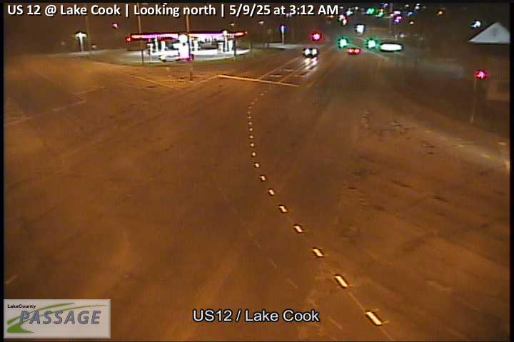 WorkingStill imageUS 12 at Lake Cook, looking north
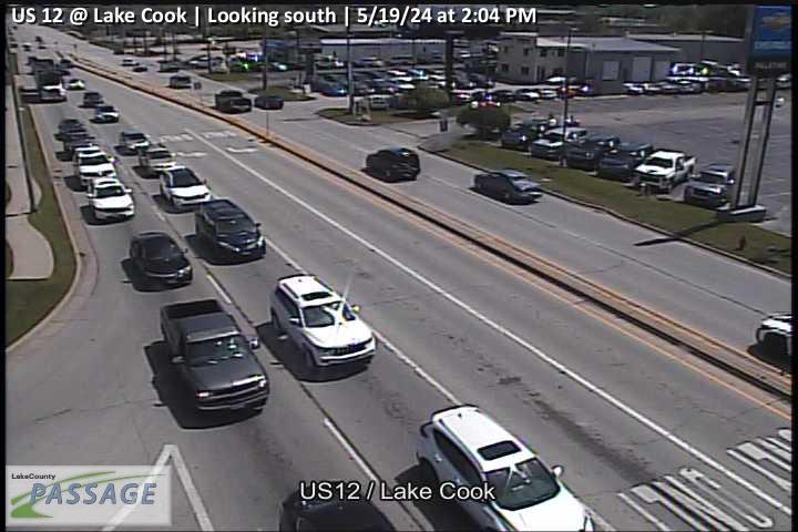 WorkingStill imageUS 12 at Lake Cook, looking south
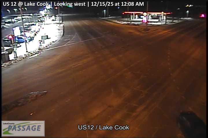 WorkingStill imageUS 12 at Lake Cook, looking west
_cctv_East_Leg.jpg) WorkingStill imageLake Cook at Hart (Cell), looking east
WorkingStill imageLake Cook at Hart (Cell), looking east_cctv_North_Leg.jpg) WorkingStill imageLake Cook at Hart (Cell), looking north
WorkingStill imageLake Cook at Hart (Cell), looking north_cctv_West_Leg.jpg) WorkingStill imageLake Cook at Hart (Cell), looking west
WorkingStill imageLake Cook at Hart (Cell), looking west WorkingStill imageIL 53 at Lake Cook, looking east
 WorkingStill imageIL 53 at Lake Cook, looking north
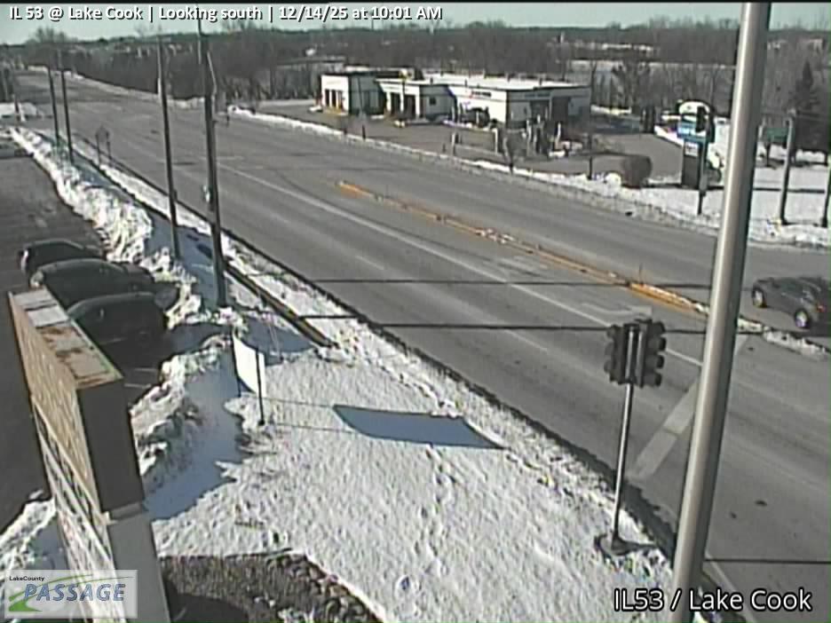 WorkingStill imageIL 53 at Lake Cook, looking south
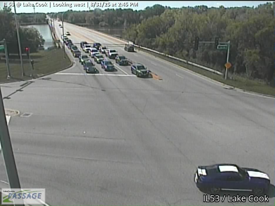 WorkingStill imageIL 53 at Lake Cook, looking west
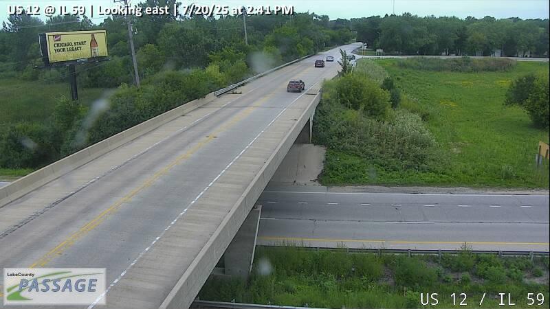 WorkingStill imageUS 12 at IL 59, looking east
 WorkingStill imageUS 12 at IL 59, looking north
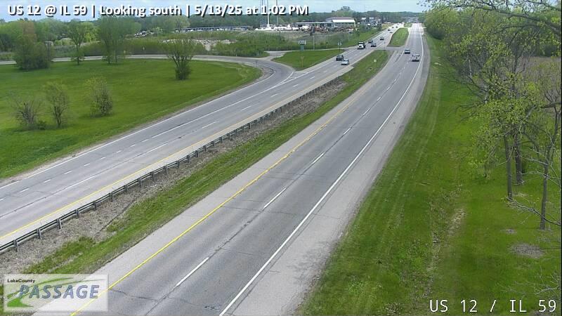 WorkingStill imageUS 12 at IL 59, looking south
 WorkingStill imageUS 12 at IL 59, looking west
 WorkingStill imageDiamond Lake at Gilmer, looking east
 WorkingStill imageDiamond Lake at Gilmer, looking north
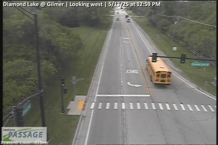 WorkingStill imageDiamond Lake at Gilmer, looking west
_cctv_East_Leg.jpg) WorkingStill imageRiver at Roberts (Cell), looking east
WorkingStill imageRiver at Roberts (Cell), looking east_cctv_South_Leg.jpg) WorkingStill imageRiver at Roberts (Cell), looking south
WorkingStill imageRiver at Roberts (Cell), looking south_cctv_West_Leg.jpg) WorkingStill imageRiver at Roberts (Cell), looking west
WorkingStill imageRiver at Roberts (Cell), looking west_cctv_East_Leg.jpg) WorkingStill imageIL 176 at Main St (Wireless), looking east
WorkingStill imageIL 176 at Main St (Wireless), looking east_cctv_North_Leg.jpg) WorkingStill imageIL 176 at Main St (Wireless), looking north
WorkingStill imageIL 176 at Main St (Wireless), looking north_cctv_South_Leg.jpg) WorkingStill imageIL 176 at Main St (Wireless), looking south
WorkingStill imageIL 176 at Main St (Wireless), looking south_cctv_West_Leg.jpg) WorkingStill imageIL 176 at Main St (Wireless), looking west
WorkingStill imageIL 176 at Main St (Wireless), looking west_cctv_East_Leg.jpg) WorkingStill imageIL 53 at Lake Cook (West ramp), looking east
WorkingStill imageIL 53 at Lake Cook (West ramp), looking east_cctv_North_Leg.jpg) WorkingStill imageIL 53 at Lake Cook (West ramp), looking north
WorkingStill imageIL 53 at Lake Cook (West ramp), looking north_cctv_South_Leg.jpg) WorkingStill imageIL 53 at Lake Cook (West ramp), looking south
WorkingStill imageIL 53 at Lake Cook (West ramp), looking south_cctv_West_Leg.jpg) WorkingStill imageIL 53 at Lake Cook (West ramp), looking west
WorkingStill imageIL 53 at Lake Cook (West ramp), looking west WorkingStill imageGilmer at Hawley, looking north
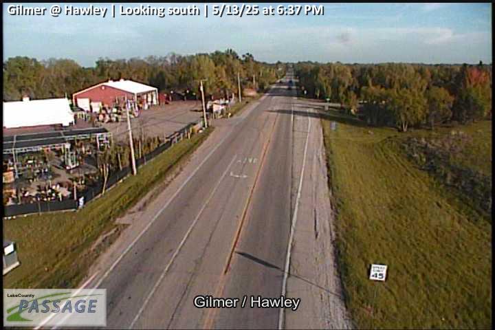 WorkingStill imageGilmer at Hawley, looking south
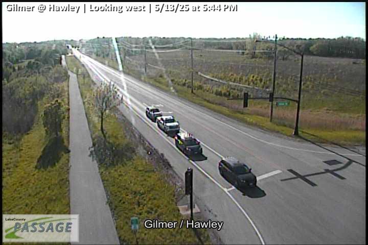 WorkingStill imageGilmer at Hawley, looking west
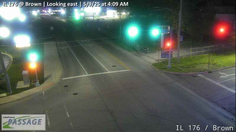 WorkingStill imageIL 176 at Brown, looking east
 WorkingStill imageIL 176 at Brown, looking west
 WorkingStill imageUS 12 at IL 176 W Ramp, looking east
 WorkingStill imageUS 12 at IL 176 W Ramp, looking north
 WorkingStill imageUS 12 at IL 176 W Ramp, looking south
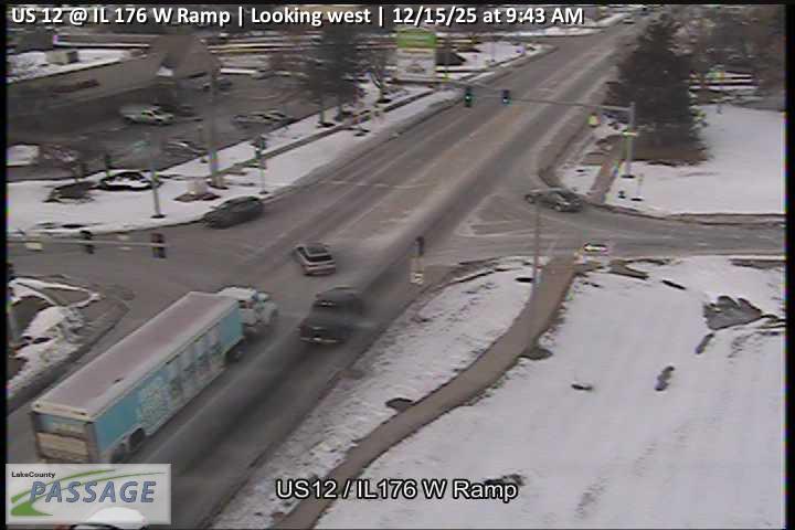 WorkingStill imageUS 12 at IL 176 W Ramp, looking west
No live video among these cameras. Turn off "Live video only" to see them all.
Best cams to watch
- US 12 at IL 22, looking south — Still image · every 10 min, working 100 % of the time in the last 30 days.
- Gilmer at Hawley, looking east — Still image · every 10 min, working 100 % of the time in the last 30 days.
- IL 22 at Old Rand, looking east — Still image · every 10 min.
Lake Zurich takes its name from the glacial lake at its heart, a body of water that lies entirely inside the village limits in southwestern Lake County. The 2020 Census counted about 19,800 residents. Settlers such as George Ela and Seth Paine arrived in the 1830s, and it was Paine who renamed what had been Cedar Lake after the Swiss lake he admired. Rand Road (US-12) reached the town in 1922 and Route 22 followed in 1927, and those two highways turned the village into a summer getaway for Chicago families long before the subdivisions of the 1950s and later.
Paulus Park, on the lake’s southern shore, is the village’s biggest and busiest park, with a sandy swimming beach and a long stretch of lakefront path. Each summer the long-running Alpine Fest brings a weekend of festivities to the lakefront.
LiveLocation lists 91 cameras for Lake Zurich, all drawn from Illinois DOT’s Gateway system, which also powers the public Travel Midwest map. These are traffic cameras, not scenic lake views. Most of the interest is along US-12, the busy diagonal commercial corridor running from the northwest suburbs toward Wisconsin, and along IL-22, which crosses the village east to west. Each image is a periodic snapshot, so expect a frame that updates every few minutes rather than live video.
Local time is Central. Saturday afternoons in summer are when Rand Road gets heavy with shoppers and lake traffic, while weekday commutes peak early morning and late afternoon. In winter the lake often freezes over, though the cameras watch the roads rather than the ice. Snow squalls, freezing fog on still mornings and short December days, with darkness falling not long after 4:15 p.m., make cold-season views the most changeable.
Wauconda and Barrington are a short drive away, and neighboring Hawthorn Woods, Kildeer and Long Grove are close enough that their roadside views may also appear nearby on the map.
Sources: Lake Zurich, Illinois – Wikipedia · Lake Zurich expanding Paulus Park beach – Daily Herald · Travel Midwest.
Nearby places
- Waukegan (620)
- Wheaton (617)
- North Peoria (554)
- Peoria (553)
- Naperville (475)
- Gurnee (386)
- Palatine (354)
- Grayslake (346)
Questions about Lake Zurich
How many webcams can I watch in Lake Zurich?
LiveLocation lists 165 cameras in and around Lake Zurich, United States: 0 live video, 165 still images. 165 of them were live or showing a fresh image at the last check.
Where do the Lake Zurich cameras come from?
All of them come from Illinois DOT (165). Each camera plays straight from the agency or owner that runs it, with credit. Illinois DOT
What kinds of views are there in Lake Zurich?
All of them show traffic and highway (165). Good ones to start with: US 12 at IL 22, looking south and Gilmer at Hawley, looking east. US 12 at IL 22, looking south Gilmer at Hawley, looking east
Is there live video from Lake Zurich?
Not yet: the cameras here send still images that refresh about every 10 minutes. The map can show only live-video cameras nearby. Live video on the map
When is the best time to watch the Lake Zurich cameras?
Lake Zurich is on America/Chicago time. On October 7 the sun rises at 6:56 AM and sets at 6:23 PM, so still images are clearest between those times. Road cameras show the most traffic in the weekday morning and evening rush hours.
Are there live cameras near Lake Zurich?
The nearest are Vernon Hills (6.0 mi away, 306 cameras), Mundelein (6.5 mi away, 271 cameras) and Palatine (6.7 mi away, 354 cameras). Vernon Hills Mundelein Palatine
Is there a map of the cameras in Lake Zurich?
The map at the top of this page shows all 165 of them. The live camera radar centers on Lake Zurich and lists every camera within 5 to 250 miles, nearest first, with filters for live video, traffic, nature and more. Open the radar on Lake Zurich
Place names and locations: GeoNames, licensed under CC BY 4.0.