Live cameras in Vernon Hills, United States
200 cameras: 0 live video, 200 still images · 200 working now · updated Oct 8, 03:32 UTC
Vernon Hills has 200 live cameras on LiveLocation right now: 0 live video, 200 still images. Good places to start: US 45 at IL 83, looking north, Aptakisic at Buffalo Grove, looking north, IL 21-US 45 at Olde Half Day Rd, looking north. Local time is 10:32 PM (America/Chicago). Today the sun rises at 6:55 AM and sets at 6:23 PM.
Vernon Hills live cameras
Watch Vernon Hills live webcams: 0 live video, 200 still images. 200 of them were live or fresh at the last check. Vernon Hills is home to about 26,000 people.
Weather now in Vernon Hills: 58 °F (15 °C), clear sky, wind 8 mph (13 km/h) from the west. Forecast for 11 PM local time. Weather: MET Norway (CC BY 4.0)
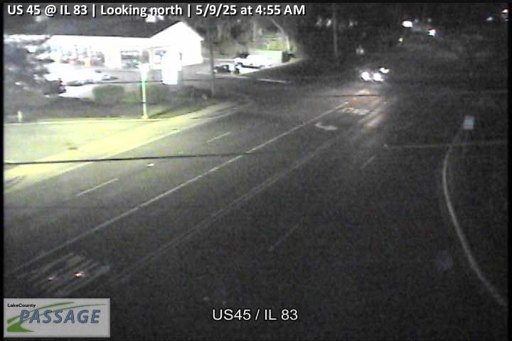 WorkingStill imageUS 45 at IL 83, looking north
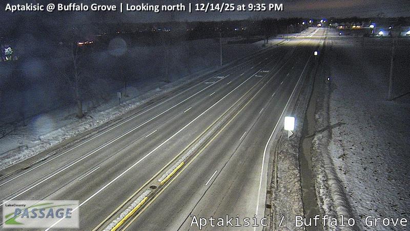 WorkingStill imageAptakisic at Buffalo Grove, looking north
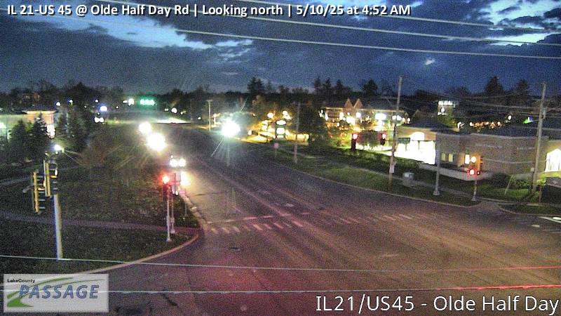 WorkingStill imageIL 21-US 45 at Olde Half Day Rd, looking north
 WorkingStill imageIL 21 at Hollister, looking north
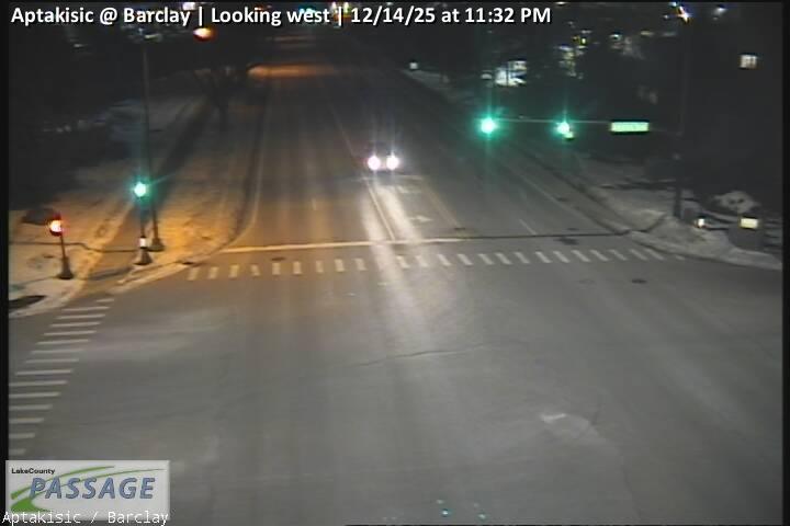 WorkingStill imageAptakisic at Barclay, looking west
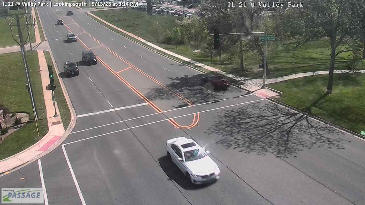 WorkingStill imageIL 21 at Valley Park, looking south
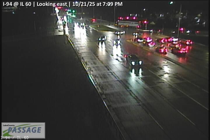 WorkingStill imageI-94 at IL 60, looking east
 WorkingStill imageUS 45 at Butterfield, looking east
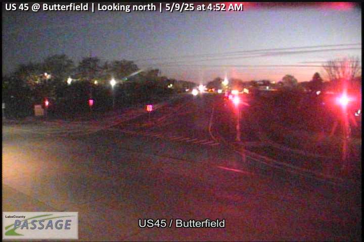 WorkingStill imageUS 45 at Butterfield, looking north
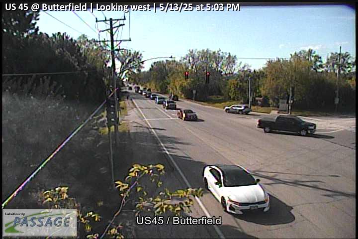 WorkingStill imageUS 45 at Butterfield, looking west
 WorkingStill imageUS 45 at Deerpath, looking east
 WorkingStill imageUS 45 at Deerpath, looking north
 WorkingStill imageUS 45 at Deerpath, looking west
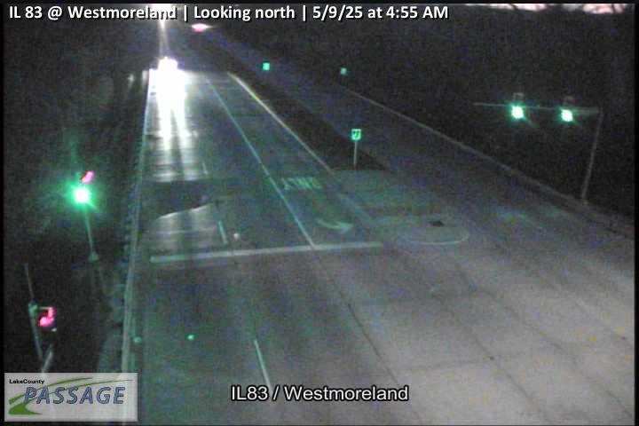 WorkingStill imageIL 83 at Westmoreland, looking north
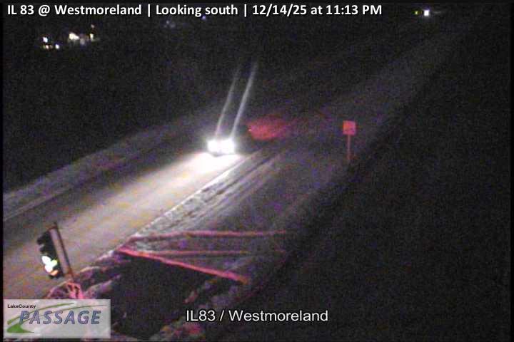 WorkingStill imageIL 83 at Westmoreland, looking south
 WorkingStill imageIL 83 at Gilmer, looking east
 WorkingStill imageIL 83 at Gilmer, looking north
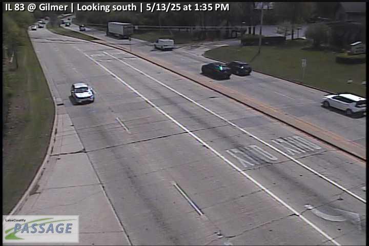 WorkingStill imageIL 83 at Gilmer, looking south
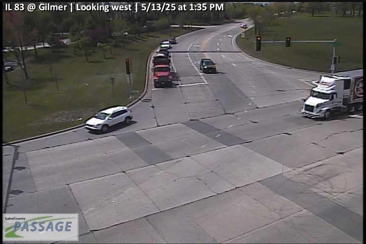 WorkingStill imageIL 83 at Gilmer, looking west
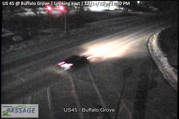 WorkingStill imageUS 45 at Buffalo Grove, looking east
 WorkingStill imageUS 45 at Buffalo Grove, looking north
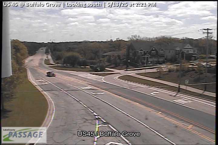 WorkingStill imageUS 45 at Buffalo Grove, looking south
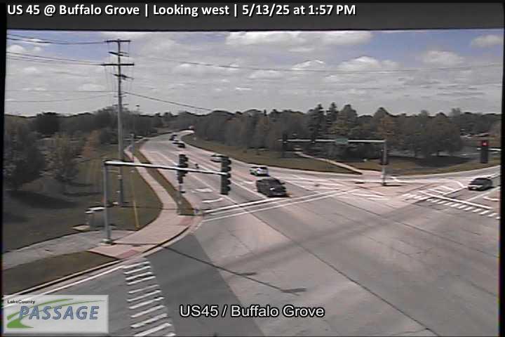 WorkingStill imageUS 45 at Buffalo Grove, looking west
 WorkingStill imageDiamond Lake at Gilmer, looking east
 WorkingStill imageDiamond Lake at Gilmer, looking north
 WorkingStill imageDiamond Lake at Gilmer, looking west
 WorkingStill imageUS 45 at IL 83, looking east
 WorkingStill imageUS 45 at IL 83, looking south
 WorkingStill imageUS 45 at IL 83, looking west
 WorkingStill imageIL 60 at Butterfield, looking east
 WorkingStill imageIL 60 at Butterfield, looking north
 WorkingStill imageIL 60 at Butterfield, looking south
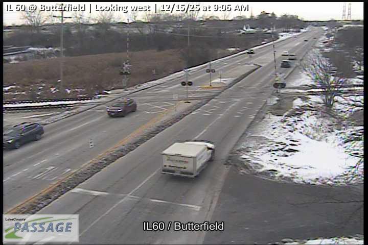 WorkingStill imageIL 60 at Butterfield, looking west
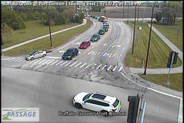 WorkingStill imageBuffalo Grove at Port Clinton, looking east
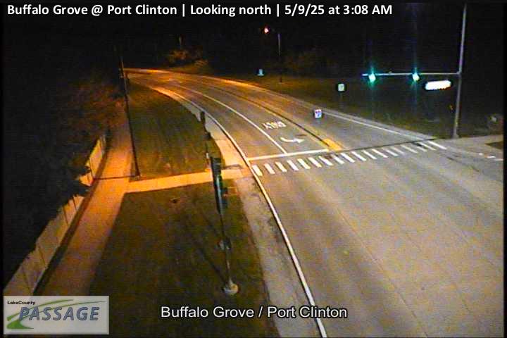 WorkingStill imageBuffalo Grove at Port Clinton, looking north
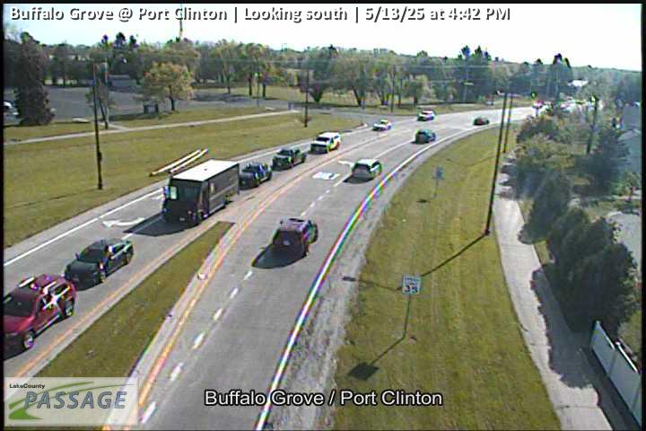 WorkingStill imageBuffalo Grove at Port Clinton, looking south
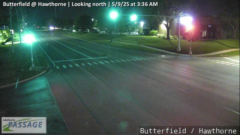 WorkingStill imageButterfield at Hawthorne, looking north
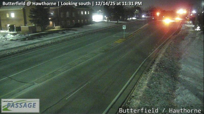 WorkingStill imageButterfield at Hawthorne, looking south
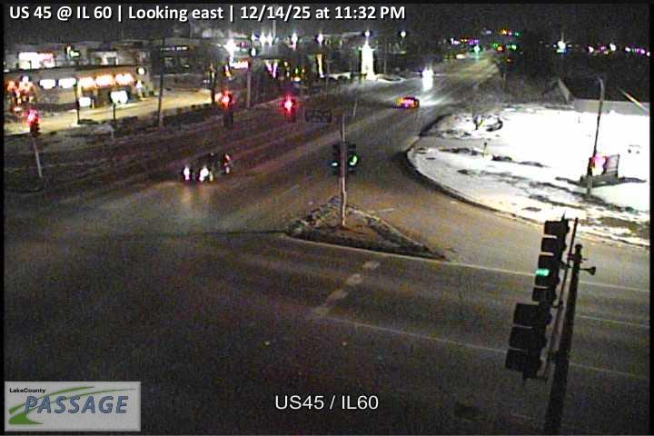 WorkingStill imageUS 45 at IL 60, looking east
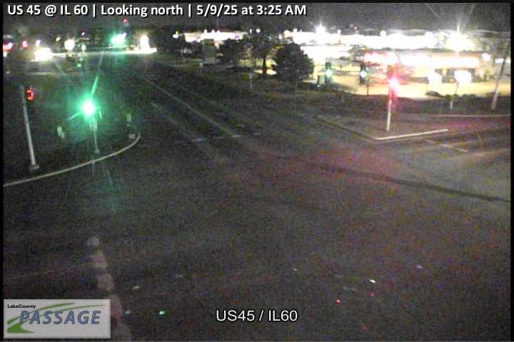 WorkingStill imageUS 45 at IL 60, looking north
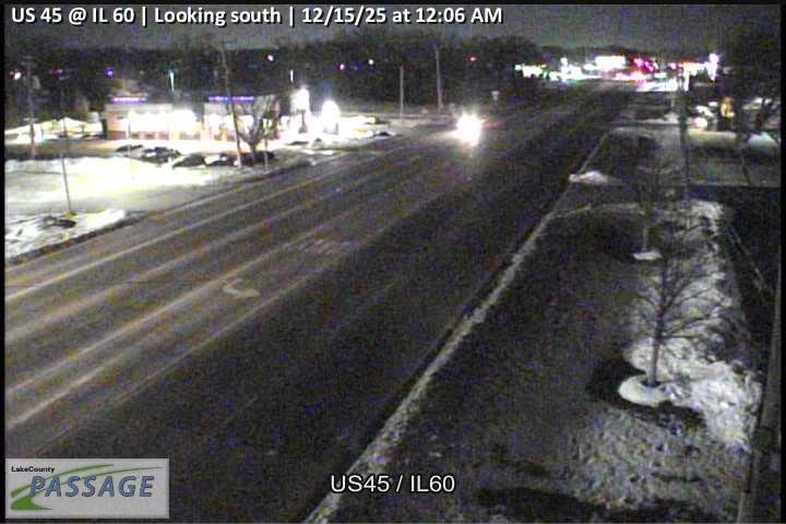 WorkingStill imageUS 45 at IL 60, looking south
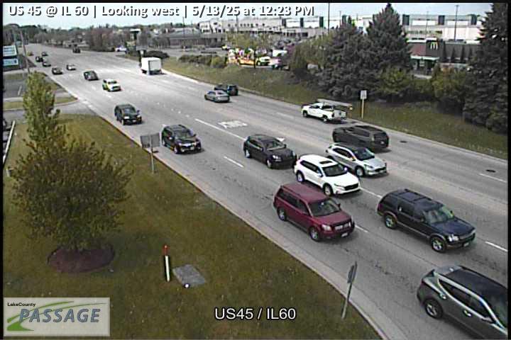 WorkingStill imageUS 45 at IL 60, looking west
 WorkingStill imageIL 22 at IL 83, looking east
 WorkingStill imageIL 22 at IL 83, looking north
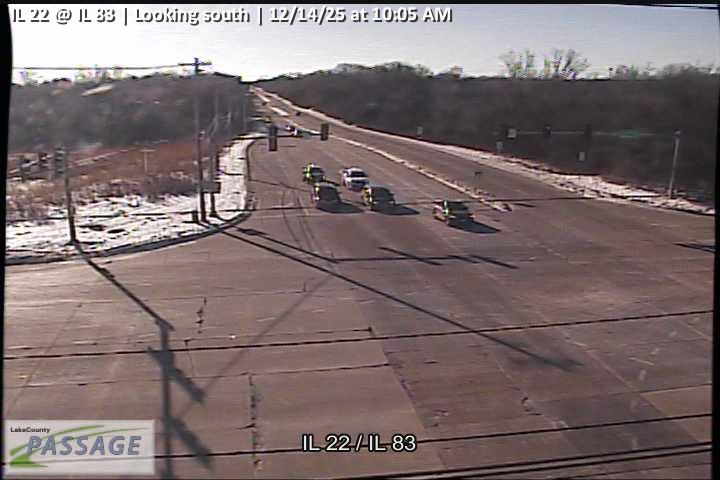 WorkingStill imageIL 22 at IL 83, looking south
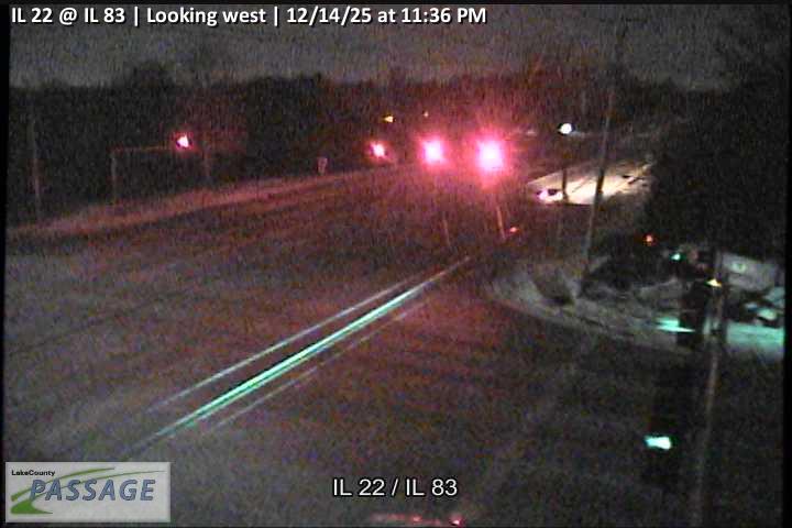 WorkingStill imageIL 22 at IL 83, looking west
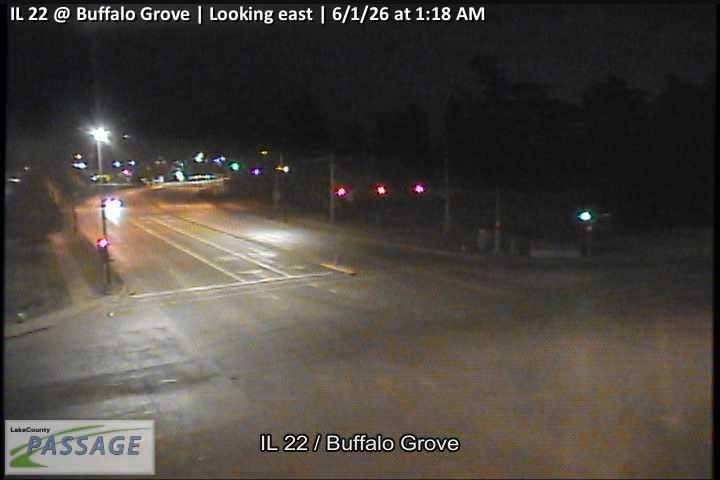 WorkingStill imageIL 22 at Buffalo Grove, looking east
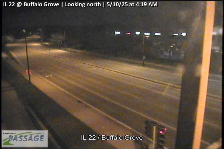 WorkingStill imageIL 22 at Buffalo Grove, looking north
 WorkingStill imageIL 22 at Buffalo Grove, looking south
 WorkingStill imageIL 22 at Buffalo Grove, looking west
 WorkingStill imageIL 60 at Lakeview, looking east
 WorkingStill imageIL 60 at Lakeview, looking north
 WorkingStill imageIL 60 at Lakeview, looking south
 WorkingStill imageIL 60 at Lakeview, looking west
 WorkingStill imageIL 60-IL 83 at Diamond Lake, looking east
 WorkingStill imageIL 60-IL 83 at Diamond Lake, looking north
 WorkingStill imageIL 60-IL 83 at Diamond Lake, looking south
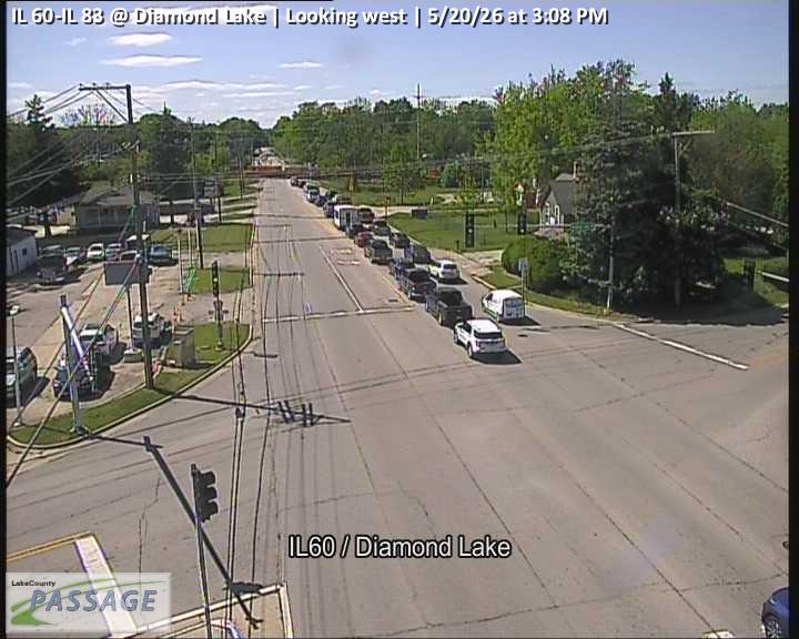 WorkingStill imageIL 60-IL 83 at Diamond Lake, looking west
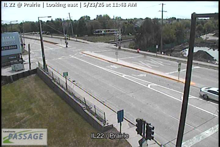 WorkingStill imageIL 22 at Prairie, looking east
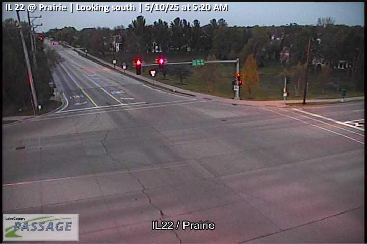 WorkingStill imageIL 22 at Prairie, looking south
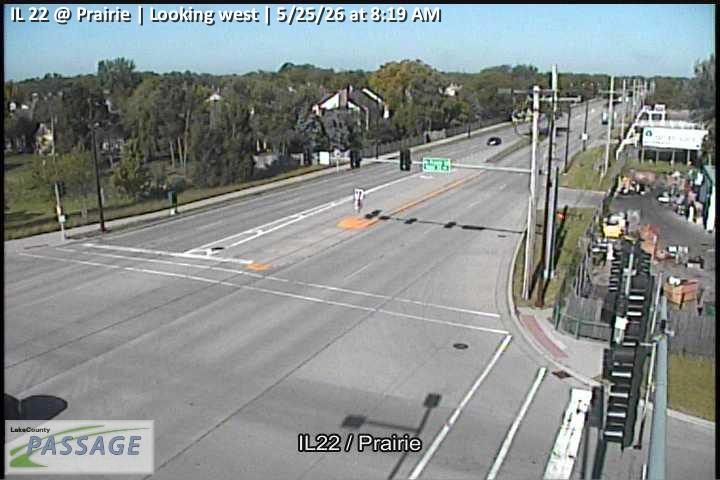 WorkingStill imageIL 22 at Prairie, looking west
 WorkingStill imageIL 21 at American Hotel, looking north
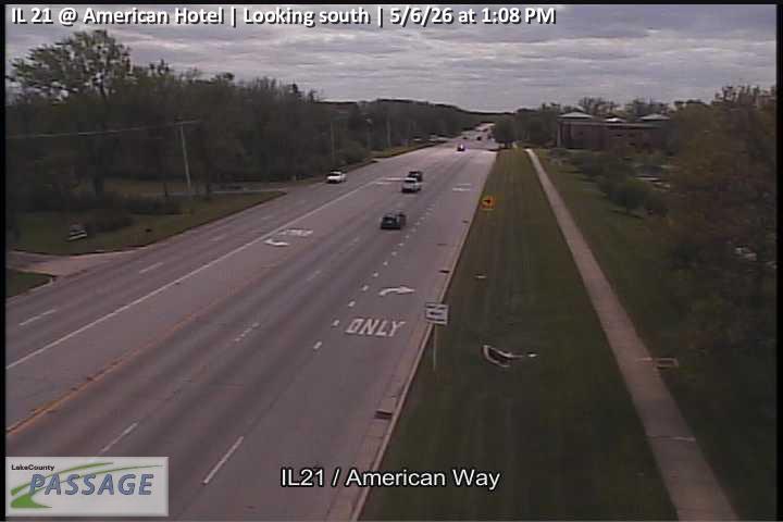 WorkingStill imageIL 21 at American Hotel, looking south
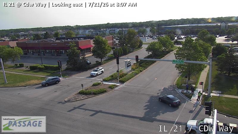 WorkingStill imageIL 21 at Cdw Way, looking east
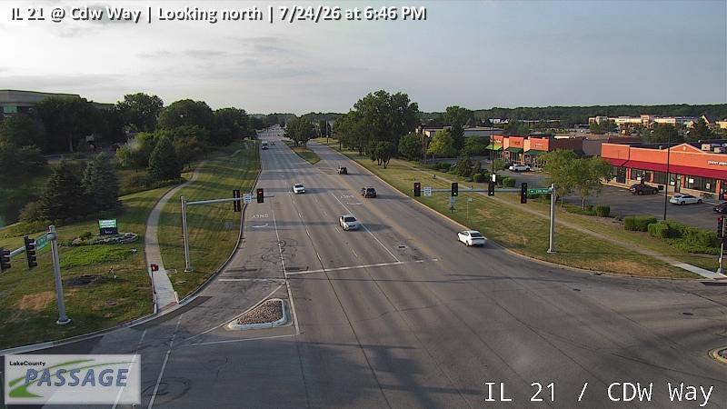 WorkingStill imageIL 21 at Cdw Way, looking north
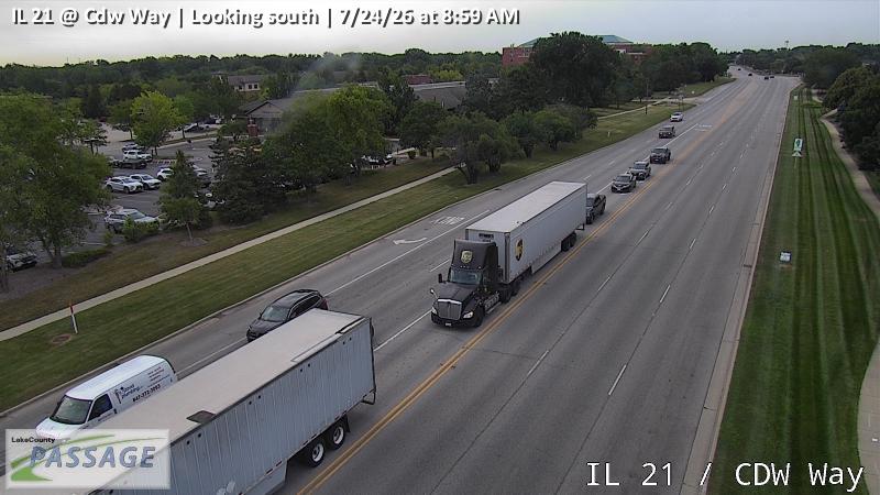 WorkingStill imageIL 21 at Cdw Way, looking south
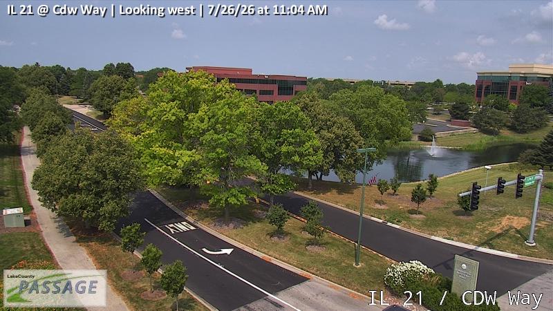 WorkingStill imageIL 21 at Cdw Way, looking west
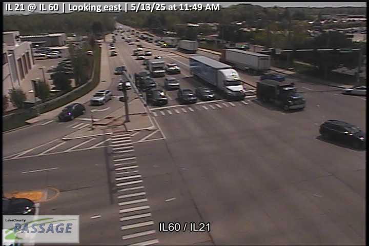 WorkingStill imageIL 21 at IL 60, looking east
 WorkingStill imageIL 21 at IL 60, looking north
 WorkingStill imageIL 21 at IL 60, looking south
 WorkingStill imageIL 21 at IL 60, looking west
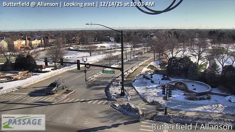 WorkingStill imageButterfield at Allanson, looking east
 WorkingStill imageButterfield at Allanson, looking north
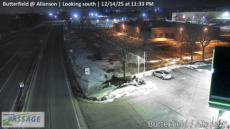 WorkingStill imageButterfield at Allanson, looking south
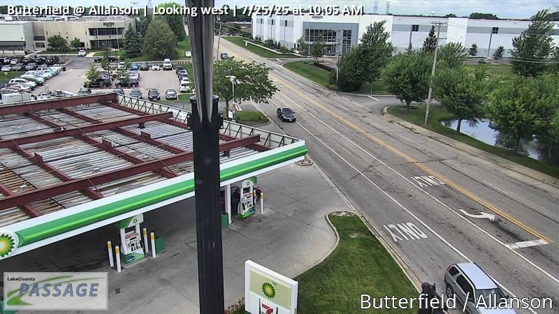 WorkingStill imageButterfield at Allanson, looking west
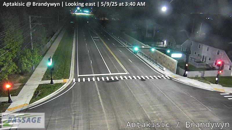 WorkingStill imageAptakisic at Brandywyn, looking east
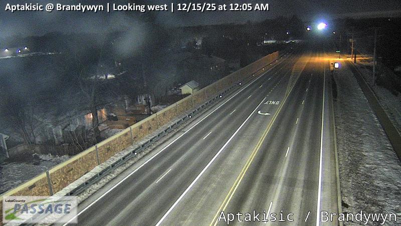 WorkingStill imageAptakisic at Brandywyn, looking west
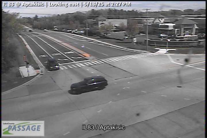 WorkingStill imageIL 83 at Aptakisic, looking east
 WorkingStill imageIL 83 at Aptakisic, looking north
 WorkingStill imageIL 83 at Aptakisic, looking south
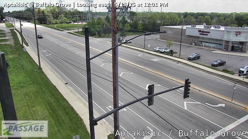 WorkingStill imageAptakisic at Buffalo Grove, looking east
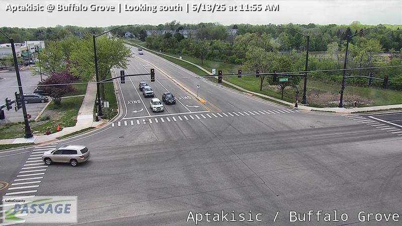 WorkingStill imageAptakisic at Buffalo Grove, looking south
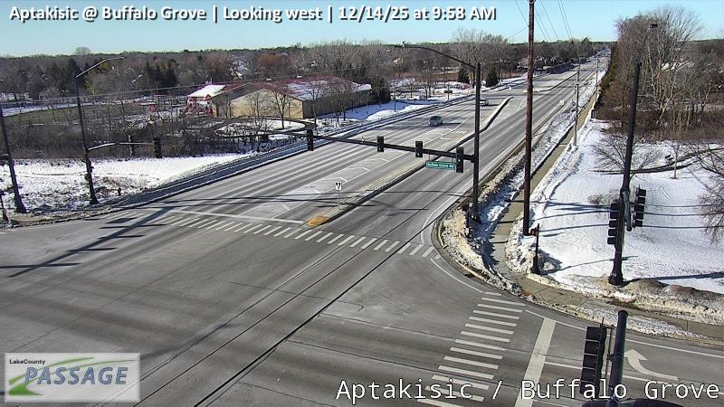 WorkingStill imageAptakisic at Buffalo Grove, looking west
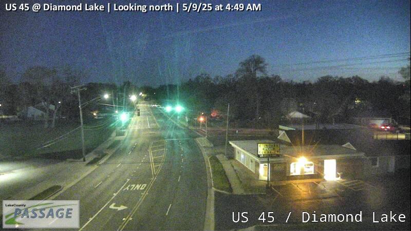 WorkingStill imageUS 45 at Diamond Lake, looking north
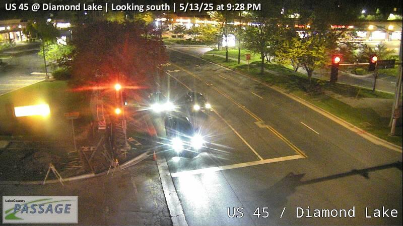 WorkingStill imageUS 45 at Diamond Lake, looking south
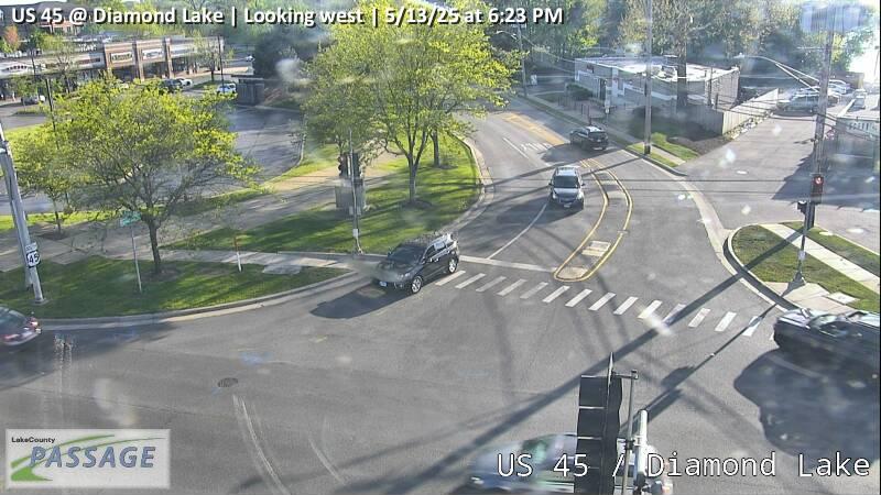 WorkingStill imageUS 45 at Diamond Lake, looking west
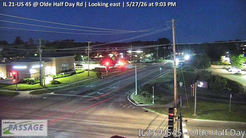 WorkingStill imageIL 21-US 45 at Olde Half Day Rd, looking east
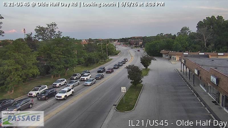 WorkingStill imageIL 21-US 45 at Olde Half Day Rd, looking south
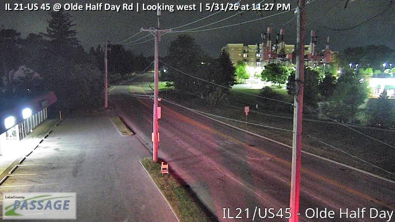 WorkingStill imageIL 21-US 45 at Olde Half Day Rd, looking west
 WorkingStill imageUS 45 at Allanson, looking east
 WorkingStill imageUS 45 at Allanson, looking north
 WorkingStill imageUS 45 at Allanson, looking south
 WorkingStill imageIL 21 at Olde Half Day, looking east
 WorkingStill imageIL 21 at Olde Half Day, looking north
 WorkingStill imageIL 21 at Olde Half Day, looking south
 WorkingStill imageIL 21 at Olde Half Day, looking west
 WorkingStill imageIL 83 at Robert Parker Coffin, looking east
 WorkingStill imageIL 83 at Robert Parker Coffin, looking north
 WorkingStill imageIL 83 at Robert Parker Coffin, looking south
 WorkingStill imageIL 83 at Robert Parker Coffin, looking west
 WorkingStill imageAptakisic at Prairie, looking east
 WorkingStill imageAptakisic at Prairie, looking north
 WorkingStill imageAptakisic at Prairie, looking west
 WorkingStill imageIL 21 at Hollister, looking south
 WorkingStill imageIL 21 at IL 22, looking east
 WorkingStill imageIL 21 at IL 22, looking north
 WorkingStill imageIL 21 at IL 22, looking south
 WorkingStill imageIL 21 at IL 22, looking west
 WorkingStill imageBuffalo Grove at Thompson, looking north
 WorkingStill imageBuffalo Grove at Thompson, looking south
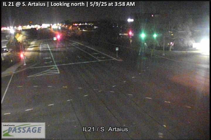 WorkingStill imageIL 21 at S. Artaius, looking north
 WorkingStill imageIL 21 at S. Artaius, looking south
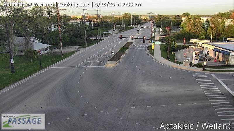 WorkingStill imageAptakisic at Weiland, looking east
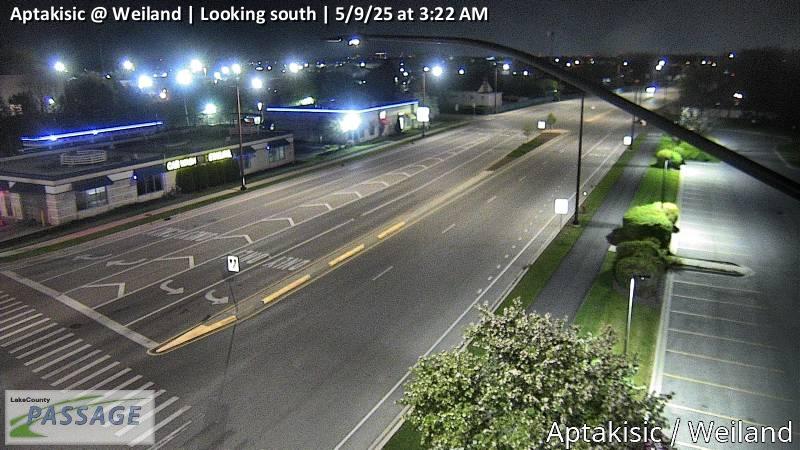 WorkingStill imageAptakisic at Weiland, looking south
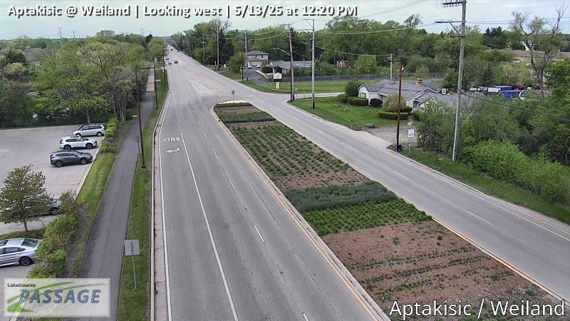 WorkingStill imageAptakisic at Weiland, looking west
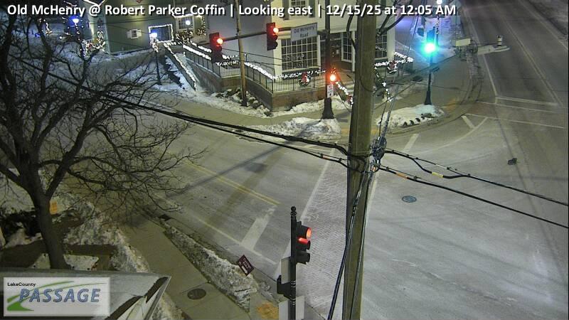 WorkingStill imageOld McHenry at Robert Parker Coffin, looking east
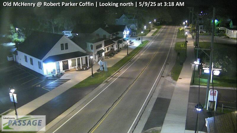 WorkingStill imageOld McHenry at Robert Parker Coffin, looking north
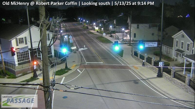 WorkingStill imageOld McHenry at Robert Parker Coffin, looking south
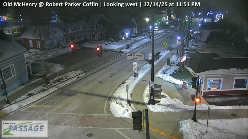 WorkingStill imageOld McHenry at Robert Parker Coffin, looking west
 WorkingStill imageIL 53 at IL 83, looking north
 WorkingStill imageIL 53 at IL 83, looking south
 WorkingStill imageIL 53 at IL 83, looking west
 WorkingStill imageAptakisic at Bond, looking east
 WorkingStill imageAptakisic at Bond, looking north
 WorkingStill imageAptakisic at Bond, looking west
 WorkingStill imageButterfield at Huntington, looking north
 WorkingStill imageButterfield at Huntington, looking south
 WorkingStill imageIL 60 at St Marys, looking east
 WorkingStill imageIL 60 at St Marys, looking north
 WorkingStill imageIL 60 at St Marys, looking south
 WorkingStill imageIL 60 at St Marys, looking west
 WorkingStill imageIL 21 at Greggs, looking east
 WorkingStill imageIL 21 at Greggs, looking north
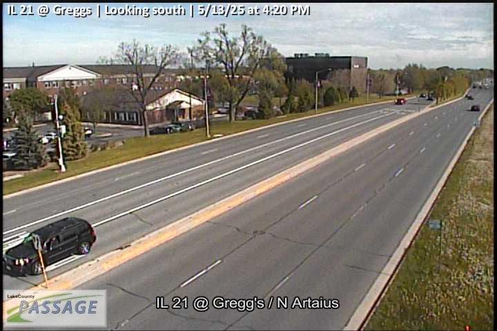 WorkingStill imageIL 21 at Greggs, looking south
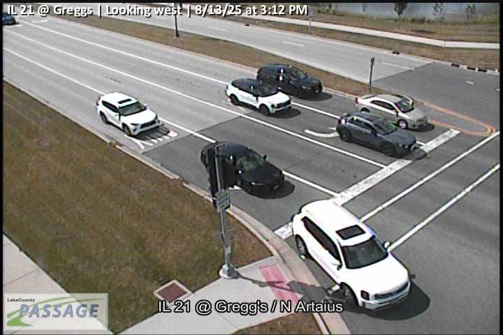 WorkingStill imageIL 21 at Greggs, looking west
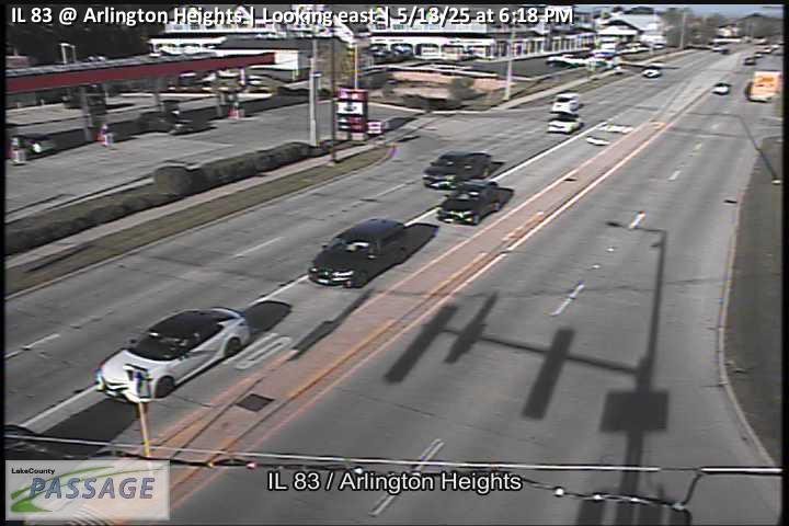 WorkingStill imageIL 83 at Arlington Heights, looking east
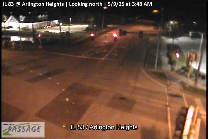 WorkingStill imageIL 83 at Arlington Heights, looking north
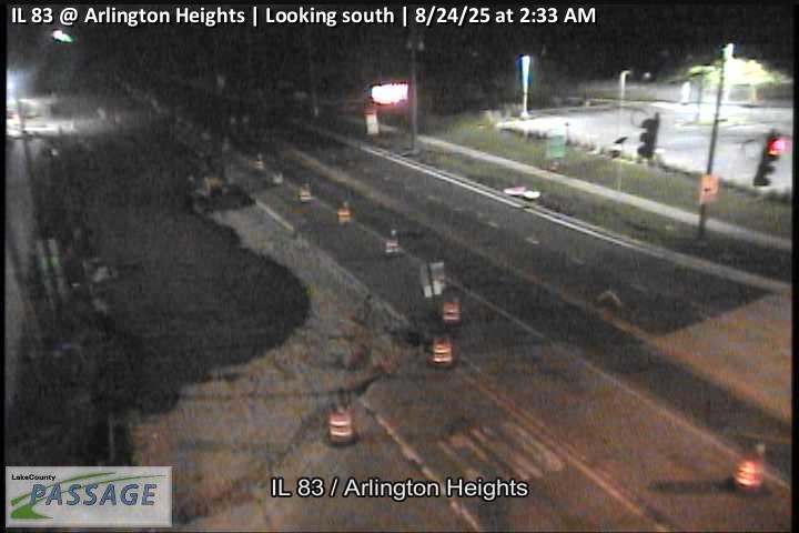 WorkingStill imageIL 83 at Arlington Heights, looking south
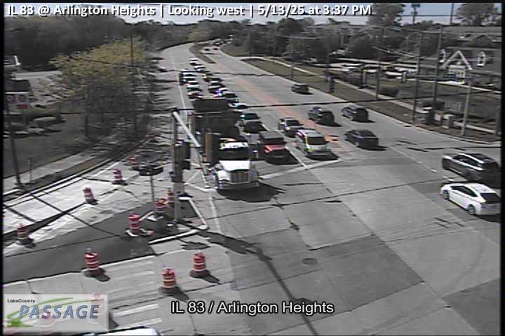 WorkingStill imageIL 83 at Arlington Heights, looking west
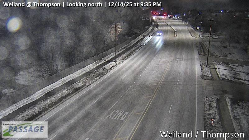 WorkingStill imageWeiland at Thompson, looking north
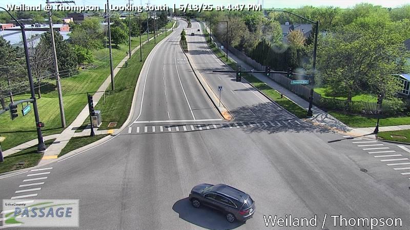 WorkingStill imageWeiland at Thompson, looking south
 WorkingStill imageAptakisic at Leider, looking east
 WorkingStill imageAptakisic at Leider, looking north
 WorkingStill imageAptakisic at Leider, looking south
 WorkingStill imageAptakisic at Leider, looking west
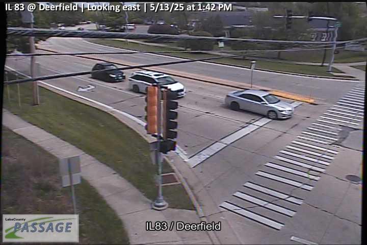 WorkingStill imageIL 83 at Deerfield, looking east
 WorkingStill imageIL 83 at Deerfield, looking north
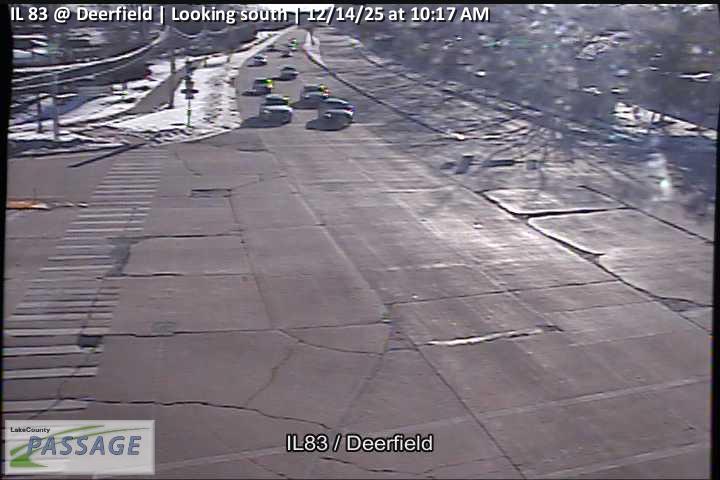 WorkingStill imageIL 83 at Deerfield, looking south
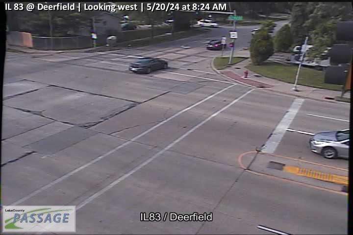 WorkingStill imageIL 83 at Deerfield, looking west
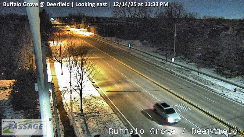 WorkingStill imageBuffalo Grove at Deerfield, looking east
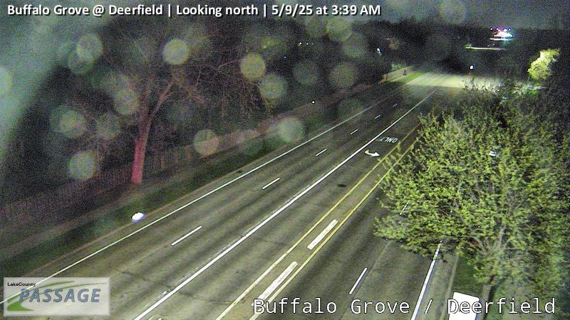 WorkingStill imageBuffalo Grove at Deerfield, looking north
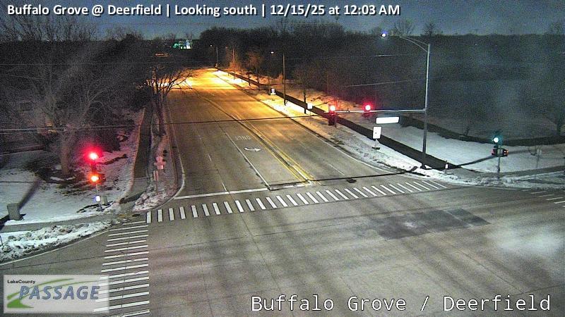 WorkingStill imageBuffalo Grove at Deerfield, looking south
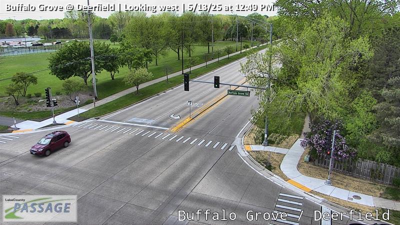 WorkingStill imageBuffalo Grove at Deerfield, looking west
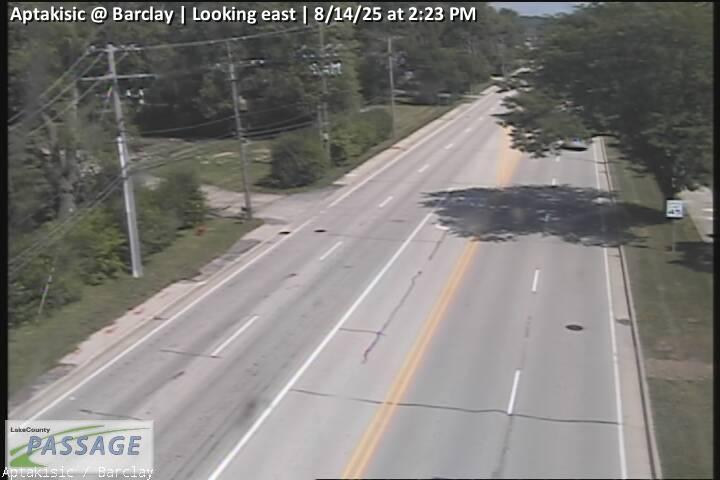 WorkingStill imageAptakisic at Barclay, looking east
 WorkingStill imageAptakisic at Barclay, looking north
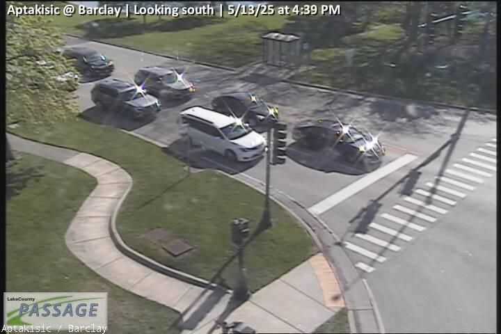 WorkingStill imageAptakisic at Barclay, looking south
 WorkingStill imageDeerfield at Highland Grove Dr, looking east
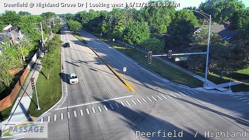 WorkingStill imageDeerfield at Highland Grove Dr, looking west
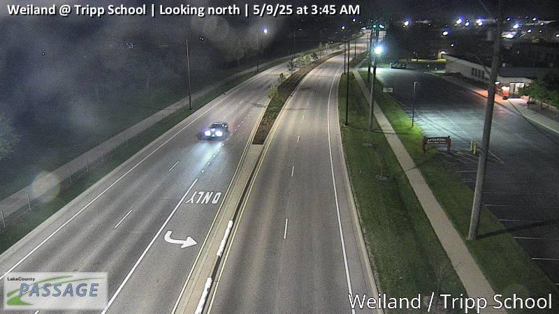 WorkingStill imageWeiland at Tripp School, looking north
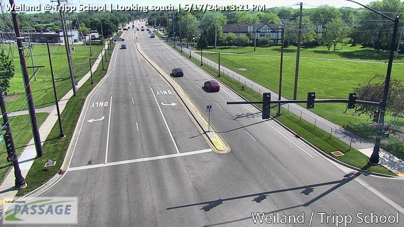 WorkingStill imageWeiland at Tripp School, looking south
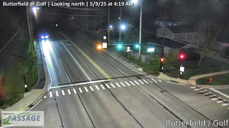 WorkingStill imageButterfield at Golf, looking north
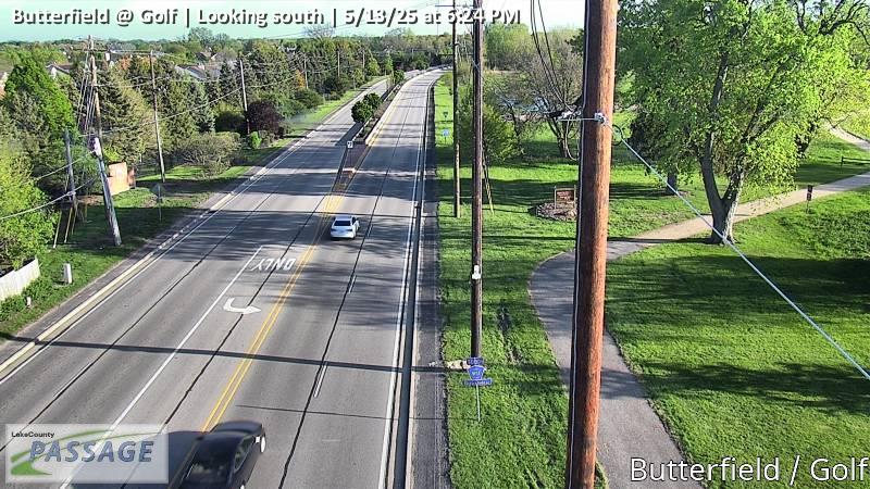 WorkingStill imageButterfield at Golf, looking south
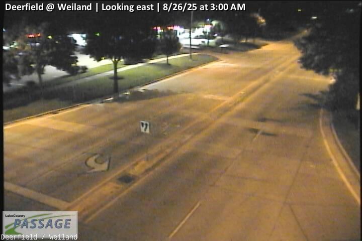 WorkingStill imageDeerfield at Weiland, looking east
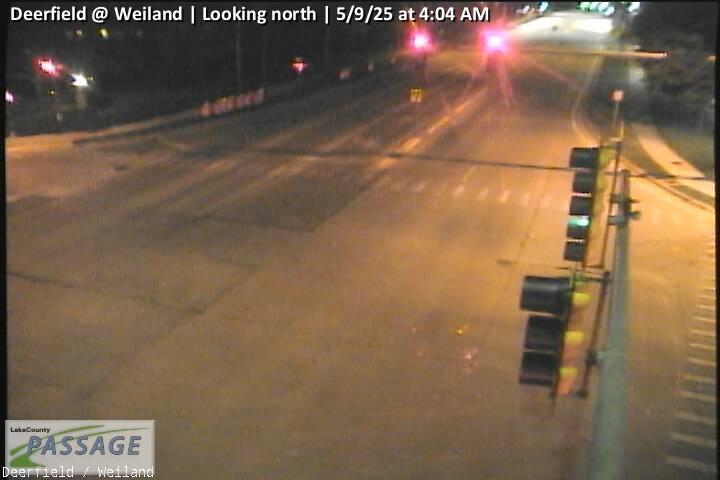 WorkingStill imageDeerfield at Weiland, looking north
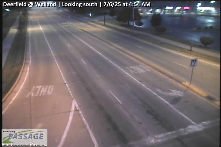 WorkingStill imageDeerfield at Weiland, looking south
 WorkingStill imageDeerfield at Weiland, looking west
 WorkingStill imageHawley at Seymour, looking east
 WorkingStill imageHawley at Seymour, looking west
 WorkingStill imageUS 45 at Hawley, looking east
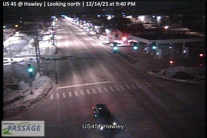 WorkingStill imageUS 45 at Hawley, looking north
 WorkingStill imageUS 45 at Hawley, looking south
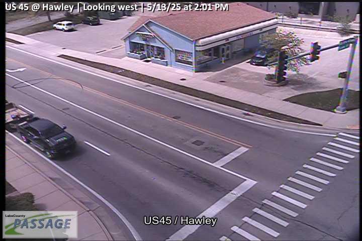 WorkingStill imageUS 45 at Hawley, looking west
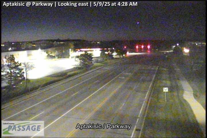 WorkingStill imageAptakisic at Parkway, looking east
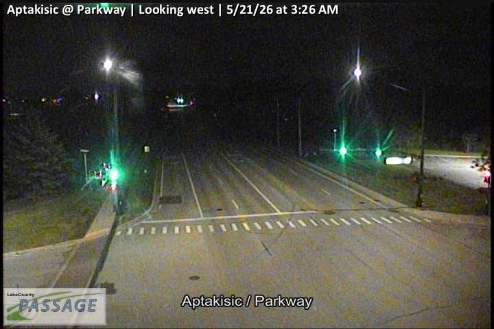 WorkingStill imageAptakisic at Parkway, looking west
_cctv_East_Leg.jpg) WorkingStill imageEverett at Riverwoods (Cell), looking east
WorkingStill imageEverett at Riverwoods (Cell), looking east_cctv_North_Leg.jpg) WorkingStill imageEverett at Riverwoods (Cell), looking north
WorkingStill imageEverett at Riverwoods (Cell), looking north_cctv_South_Leg.jpg) WorkingStill imageEverett at Riverwoods (Cell), looking south
WorkingStill imageEverett at Riverwoods (Cell), looking south_cctv_West_Leg.jpg) WorkingStill imageEverett at Riverwoods (Cell), looking west
WorkingStill imageEverett at Riverwoods (Cell), looking west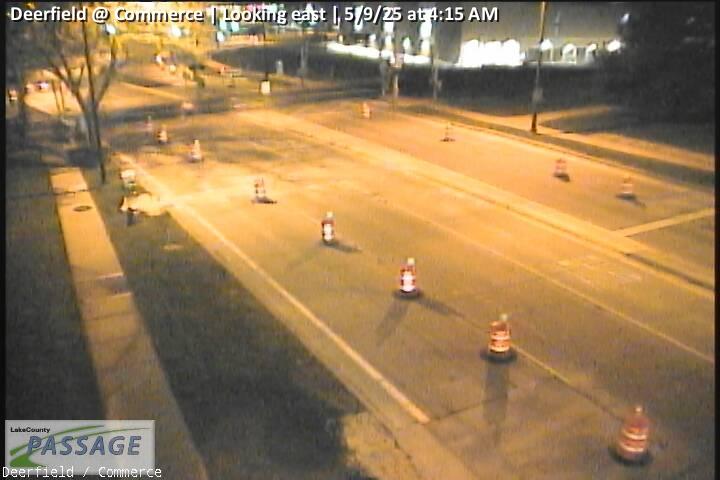 WorkingStill imageDeerfield at Commerce, looking east
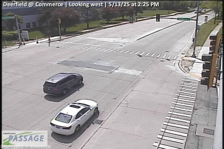 WorkingStill imageDeerfield at Commerce, looking west
 WorkingStill imageIL 21-US 45 at Aptakisic Rd, looking north
 WorkingStill imageIL 21-US 45 at Aptakisic Rd, looking south
 WorkingStill imageIL 21-US 45 at Aptakisic Rd, looking west
 WorkingStill imageMidlothian at Gilmer, looking east
 WorkingStill imageMidlothian at Gilmer, looking north
 WorkingStill imageMidlothian at Gilmer, looking south
 WorkingStill imageMidlothian at Gilmer, looking west
 WorkingStill imageHawley at California, looking east
 WorkingStill imageHawley at California, looking west
 WorkingStill imageButterfield at Crane, looking north
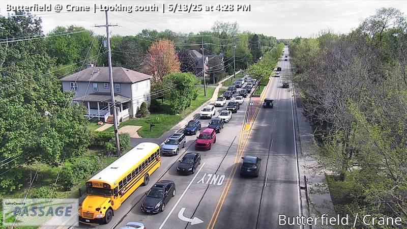 WorkingStill imageButterfield at Crane, looking south
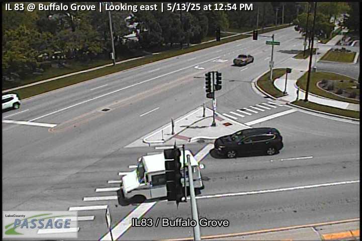 WorkingStill imageIL 83 at Buffalo Grove, looking east
 WorkingStill imageIL 83 at Buffalo Grove, looking north
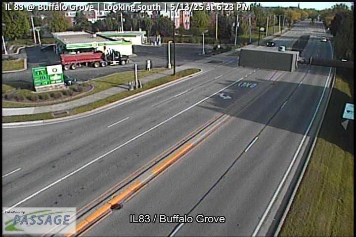 WorkingStill imageIL 83 at Buffalo Grove, looking south
 WorkingStill imageIL 83 at Buffalo Grove, looking west
 WorkingStill imageUS 45 at IL 176, looking east
 WorkingStill imageUS 45 at IL 176, looking north
 WorkingStill imageUS 45 at IL 176, looking south
 WorkingStill imageUS 45 at IL 176, looking west
 WorkingStill imageIL 22 at Riverwoods, looking east
No live video among these cameras. Turn off "Live video only" to see them all.
Best cams to watch
- US 45 at IL 83, looking north — Still image · every 10 min, working 100 % of the time in the last 30 days.
- Aptakisic at Buffalo Grove, looking north — Still image · every 10 min, working 100 % of the time in the last 30 days.
- IL 21-US 45 at Olde Half Day Rd, looking north — Still image · every 10 min, working 100 % of the time in the last 30 days.
Vernon Hills is a younger town than most of its neighbors. It grew out of a 125-house subdivision and was incorporated in 1958, and for its first years the village hall worked out of a motel lobby. Today about 26,850 people live here (2020 Census), in central Lake County north of Chicago. Much of the village’s shape comes from the Cuneo family. John Cuneo Sr., founder of the Cuneo Press and the Hawthorn Mellody dairy, bought Samuel Insull’s 1914 mansion in 1937, and his farm became a famous attraction with dairy tours, rides and a Wild West town until 1970. In 1971 the village annexed part of the Cuneo land near IL-60 and IL-21, and Hawthorn Mall opened there in 1973.
The mall remains the commercial center, joined more recently by the Mellody Farm shopping district on a former soybean field. Companies such as CDW, Zebra Technologies and Rust-Oleum keep their headquarters in town, and the Cuneo mansion and its gardens are still a local landmark.
All 84 cameras listed for Vernon Hills belong to the Illinois Department of Transportation and are shared through its Gateway system, the data source for Getting Around Illinois and Travel Midwest. Their main subject is the busy junction of Townline Road (IL-60) and Milwaukee Avenue (IL-21) around Hawthorn Mall, along with the approaches on either road. They are traffic snapshots that refresh at intervals, not continuous video, so a frame may be a few minutes old.
Vernon Hills uses Central Time. For the fullest roads, look on a weekend afternoon in the weeks between Thanksgiving and Christmas, when holiday shoppers converge on the mall. Weekday commuters crowd IL-60 heading toward the Tollway each morning. Snowfall, early winter sunsets and summer storms all change the scene from week to week.
Libertyville shares a border to the south and Mundelein lies just west. Views from those towns, and from Lincolnshire to the east, can appear within the same radius on the map.
Sources: Vernon Hills, Illinois – Wikipedia · History of Vernon Hills – Village of Vernon Hills · Ask Geoffrey: The Hawthorn Mellody Dairy Farm – WTTW · Cuneo Museum – Wikipedia.
Nearby places
- Waukegan (620)
- Wheaton (617)
- North Peoria (554)
- Peoria (553)
- Naperville (475)
- Gurnee (386)
- Palatine (354)
- Grayslake (346)
Questions about Vernon Hills
How many cameras does LiveLocation have in Vernon Hills?
LiveLocation lists 200 cameras in and around Vernon Hills, United States: 0 live video, 200 still images. 200 of them were live or showing a fresh image at the last check.
Where do the Vernon Hills cameras come from?
All of them come from Illinois DOT (200). Each camera plays straight from the agency or owner that runs it, with credit. Illinois DOT
What kinds of views are there in Vernon Hills?
All of them show traffic and highway (200). Good ones to start with: US 45 at IL 83, looking north and Aptakisic at Buffalo Grove, looking north. US 45 at IL 83, looking north Aptakisic at Buffalo Grove, looking north
Is there live video from Vernon Hills?
Not yet: the cameras here send still images that refresh about every 10 minutes. The map can show only live-video cameras nearby. Live video on the map
When is the best time to watch the Vernon Hills cameras?
Vernon Hills is on America/Chicago time. On October 7 the sun rises at 6:55 AM and sets at 6:23 PM, so still images are clearest between those times. Road cameras show the most traffic in the weekday morning and evening rush hours.
Are there live cameras near Vernon Hills?
The nearest are Mundelein (3.3 mi away, 271 cameras), Libertyville (4.6 mi away, 302 cameras) and Buffalo Grove (4.8 mi away, 190 cameras). Mundelein Libertyville Buffalo Grove
Is there a map of the cameras in Vernon Hills?
The map at the top of this page shows all 200 of them. The live camera radar centers on Vernon Hills and lists every camera within 5 to 250 miles, nearest first, with filters for live video, traffic, nature and more. Open the radar on Vernon Hills
Place names and locations: GeoNames, licensed under CC BY 4.0.